

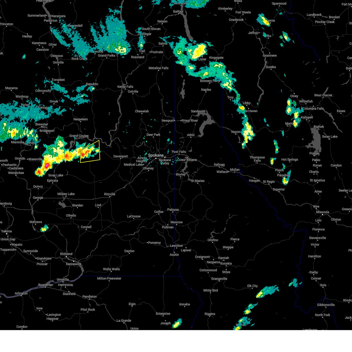
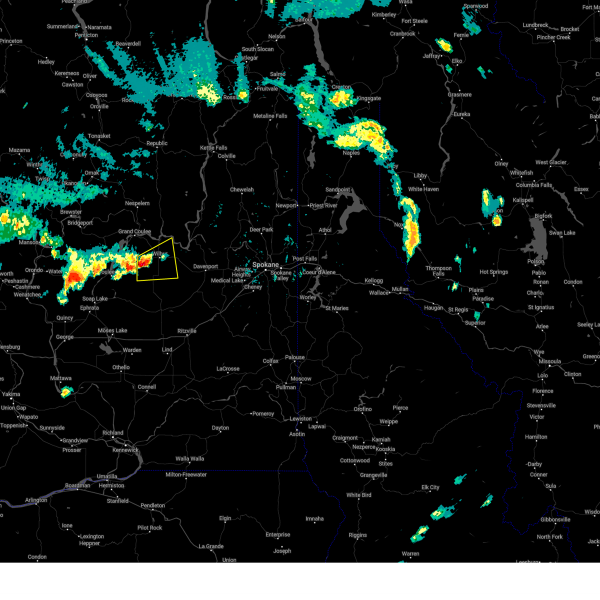
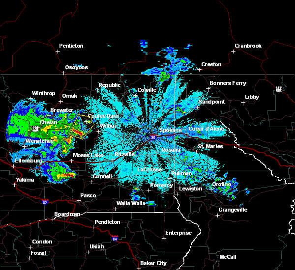
Hail Map for Almira, WA
The Almira, WA area has had 0 reports of on-the-ground hail by trained spotters, and has been under severe weather warnings 4 times during the past 12 months. Doppler radar has detected hail at or near Almira, WA on 1 occasion.
| Name: | Almira, WA |
| Where Located: | 55.6 miles SSE of Omak, WA |
| Map: | Google Map for Almira, WA |
| Population: | 284 |
| Housing Units: | 155 |
| More Info: | Search Google for Almira, WA |
0
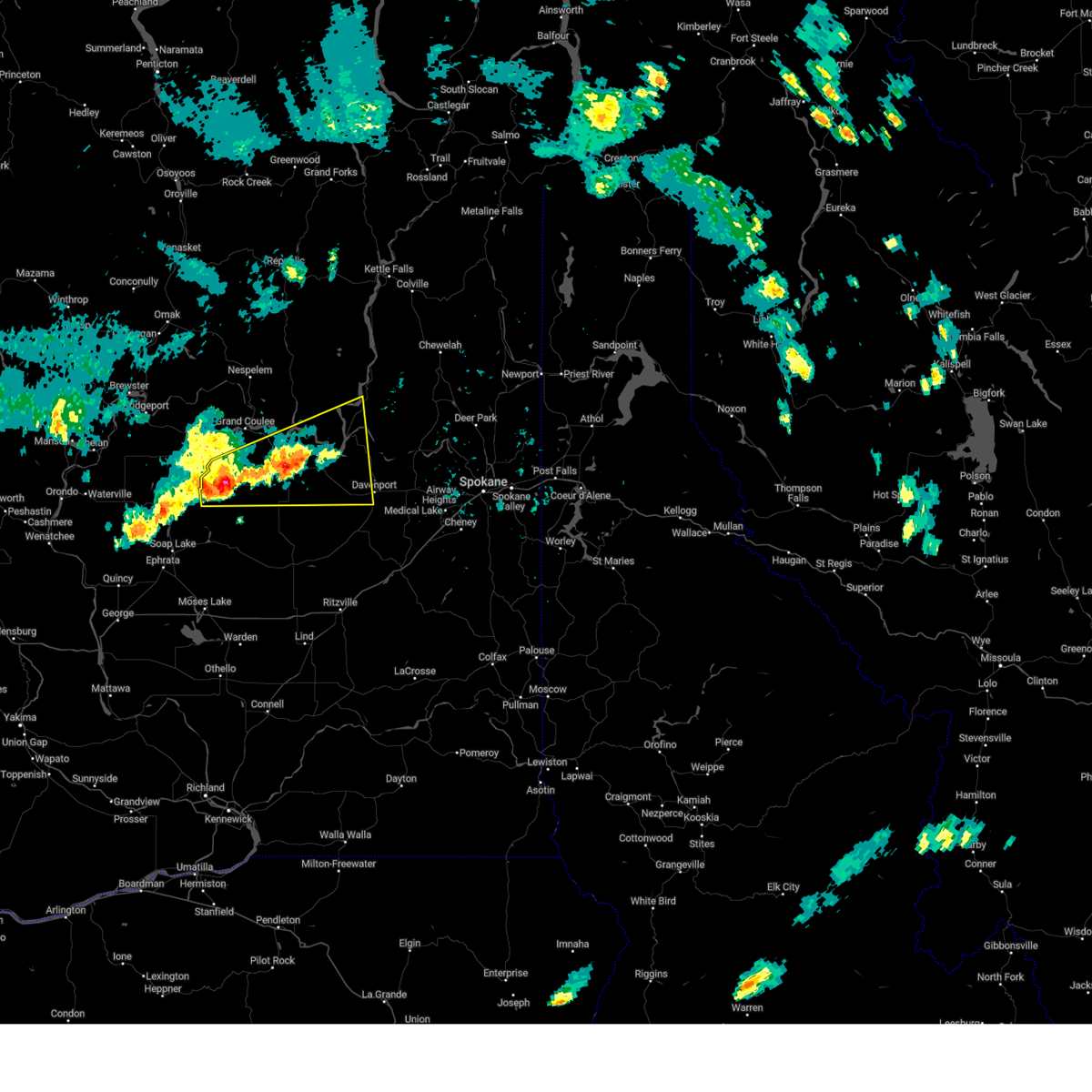
The Top Recent Hail Date for Almira, WA is Thursday, May 4, 2017 (1st out of 1)

Hail and Wind Damage Spotted near Almira, WA
| Date / Time | Report Details |
|---|---|
| 7/10/2023 4:46 PM PDT |
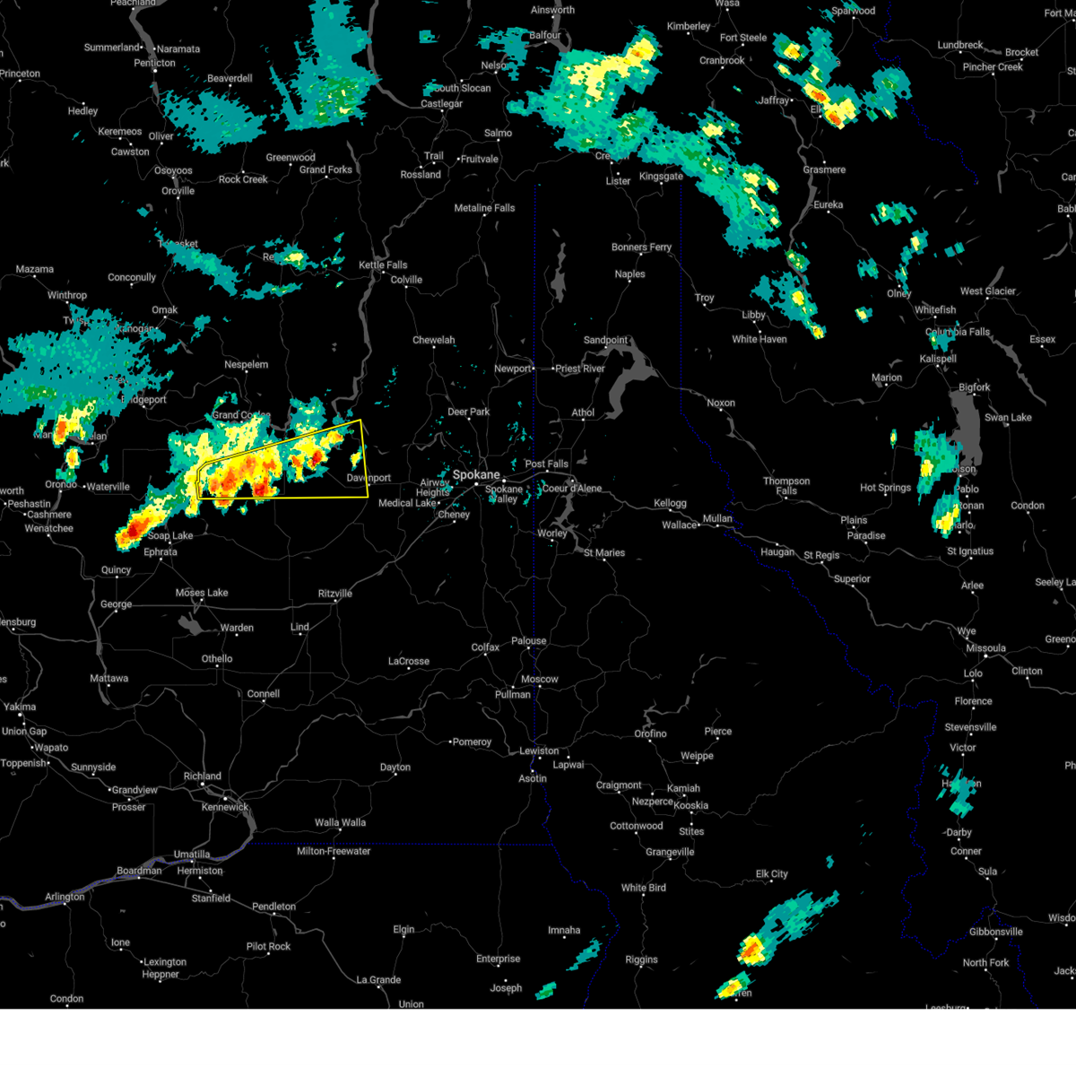 At 445 pm pdt, severe thunderstorms were located along a line extending from 18 miles northwest of davenport to near banks lake south, moving southeast at 10 mph (radar indicated). Hazards include 60 mph wind gusts and quarter size hail. Hail damage to vehicles is expected. expect wind damage to roofs, siding, and trees. locations impacted include, davenport, banks lake south, lincoln, wilbur, coulee city, almira, creston, hartline, govan, coffeepot lake, miles, telford, rocklyn, and sherman. this includes u. s. highway 2 in washington between mile markers 191 and 250. hail threat, radar indicated max hail size, 1. 00 in wind threat, radar indicated max wind gust, 60 mph. At 445 pm pdt, severe thunderstorms were located along a line extending from 18 miles northwest of davenport to near banks lake south, moving southeast at 10 mph (radar indicated). Hazards include 60 mph wind gusts and quarter size hail. Hail damage to vehicles is expected. expect wind damage to roofs, siding, and trees. locations impacted include, davenport, banks lake south, lincoln, wilbur, coulee city, almira, creston, hartline, govan, coffeepot lake, miles, telford, rocklyn, and sherman. this includes u. s. highway 2 in washington between mile markers 191 and 250. hail threat, radar indicated max hail size, 1. 00 in wind threat, radar indicated max wind gust, 60 mph.
|
| 7/10/2023 4:24 PM PDT |
 At 424 pm pdt, severe thunderstorms were located along a line extending from 24 miles northwest of davenport to near banks lake south, moving northeast at 30 mph (radar indicated). Hazards include 60 mph wind gusts and half dollar size hail. Hail damage to vehicles is expected. Expect wind damage to roofs, siding, and trees. At 424 pm pdt, severe thunderstorms were located along a line extending from 24 miles northwest of davenport to near banks lake south, moving northeast at 30 mph (radar indicated). Hazards include 60 mph wind gusts and half dollar size hail. Hail damage to vehicles is expected. Expect wind damage to roofs, siding, and trees.
|
| 7/10/2023 3:57 PM PDT |
 At 357 pm pdt, a severe thunderstorm was located 20 miles east of banks lake south, or 46 miles northeast of moses lake, moving northeast at 10 mph (radar indicated). Hazards include 60 mph wind gusts and quarter size hail. Hail damage to vehicles is expected. expect wind damage to roofs, siding, and trees. locations impacted include, wilbur, almira, sherman, and govan. this includes u. s. highway 2 in washington between mile markers 208 and 227. hail threat, radar indicated max hail size, 1. 00 in wind threat, radar indicated max wind gust, 60 mph. At 357 pm pdt, a severe thunderstorm was located 20 miles east of banks lake south, or 46 miles northeast of moses lake, moving northeast at 10 mph (radar indicated). Hazards include 60 mph wind gusts and quarter size hail. Hail damage to vehicles is expected. expect wind damage to roofs, siding, and trees. locations impacted include, wilbur, almira, sherman, and govan. this includes u. s. highway 2 in washington between mile markers 208 and 227. hail threat, radar indicated max hail size, 1. 00 in wind threat, radar indicated max wind gust, 60 mph.
|
| 7/10/2023 3:53 PM PDT | Multiple reports of crop damage from wind... hail... and flooding between hartline and almira. time estimated from rada in lincoln county WA, 1.4 miles ENE of Almira, WA |
| 7/10/2023 3:38 PM PDT |
 At 337 pm pdt, a severe thunderstorm was located 17 miles east of banks lake south, or 42 miles northeast of moses lake, moving east at 20 mph (radar indicated). Hazards include 60 mph wind gusts and half dollar size hail. Hail damage to vehicles is expected. Expect wind damage to roofs, siding, and trees. At 337 pm pdt, a severe thunderstorm was located 17 miles east of banks lake south, or 42 miles northeast of moses lake, moving east at 20 mph (radar indicated). Hazards include 60 mph wind gusts and half dollar size hail. Hail damage to vehicles is expected. Expect wind damage to roofs, siding, and trees.
|
| 5/5/2017 2:44 AM PDT |
 At 244 am pdt, doppler radar indicated a severe thunderstorm capable of producing quarter size hail and damaging winds in excess of 60 mph. this storm was located 10 miles northeast of banks lake south, or 40 miles north of moses lake, and moving north at 50 mph. At 244 am pdt, doppler radar indicated a severe thunderstorm capable of producing quarter size hail and damaging winds in excess of 60 mph. this storm was located 10 miles northeast of banks lake south, or 40 miles north of moses lake, and moving north at 50 mph.
|
| 9/15/2013 8:31 PM PDT | Power outage affecting 67 customers in lincoln county WA, 0.3 miles ENE of Almira, WA |
Hail Maps for Almira, WA

Connect with Interactive Hail Maps