

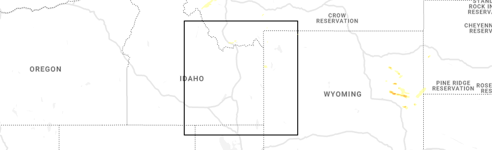
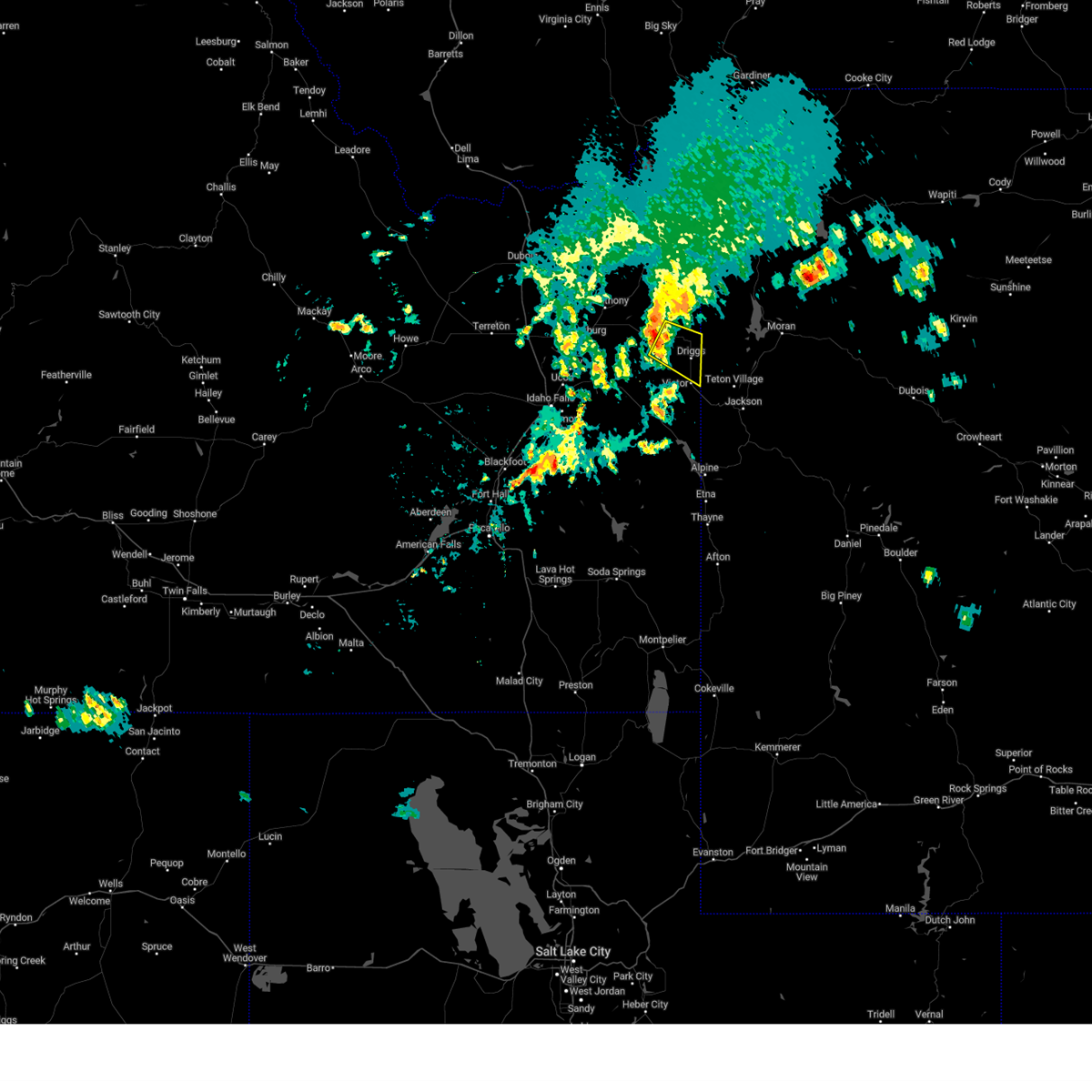
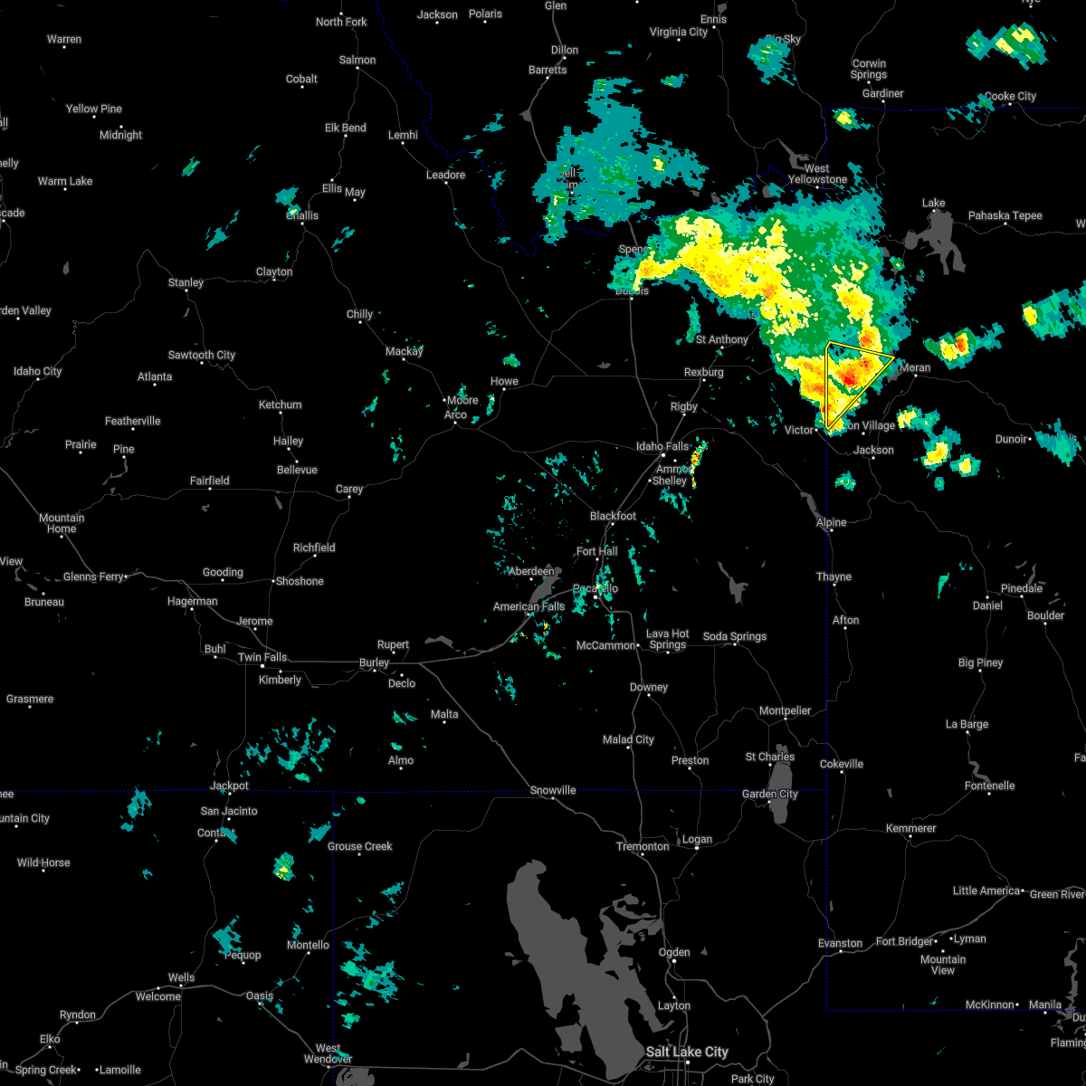
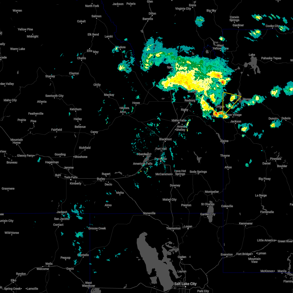
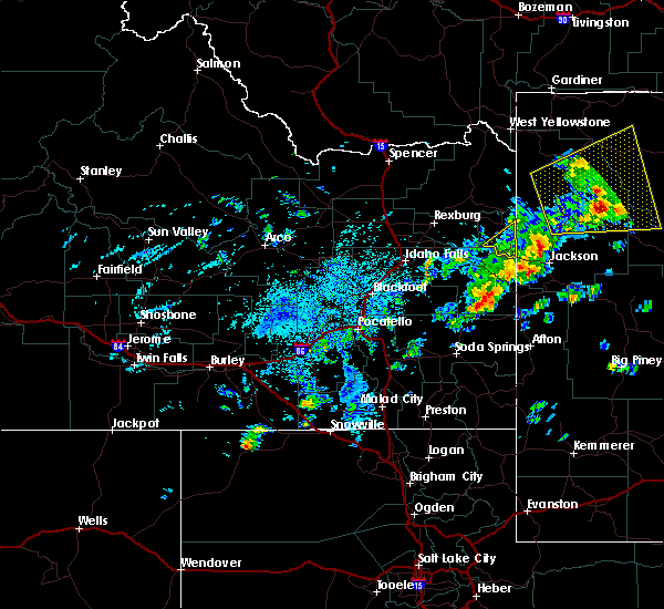
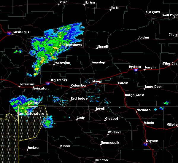
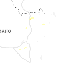
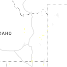
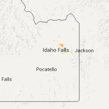
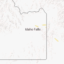
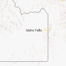
Hail Map for Alta, WY
The Alta, WY area has had 1 report of on-the-ground hail by trained spotters, and has been under severe weather warnings 4 times during the past 12 months. Doppler radar has detected hail at or near Alta, WY on 14 occasions.
| Name: | Alta, WY |
| Where Located: | 54.3 miles ENE of Idaho Falls, ID |
| Map: | Google Map for Alta, WY |
| Population: | 394 |
| Housing Units: | 232 |
| More Info: | Search Google for Alta, WY |
0
The Top Recent Hail Date for Alta, WY is Thursday, August 25, 2022 (8th out of 14)
Hail and Wind Damage Spotted near Alta, WY
| Date / Time | Report Details |
|---|---|
| 7/1/2023 6:26 PM MDT |
 The severe thunderstorm warning for southwestern teton county will expire at 630 pm mdt, the storm which prompted the warning has weakened below severe limits, and no longer poses an immediate threat to life or property. therefore, the warning will be allowed to expire. however gusty winds are still possible with this thunderstorm. The severe thunderstorm warning for southwestern teton county will expire at 630 pm mdt, the storm which prompted the warning has weakened below severe limits, and no longer poses an immediate threat to life or property. therefore, the warning will be allowed to expire. however gusty winds are still possible with this thunderstorm.
|
| 7/1/2023 6:12 PM MDT |
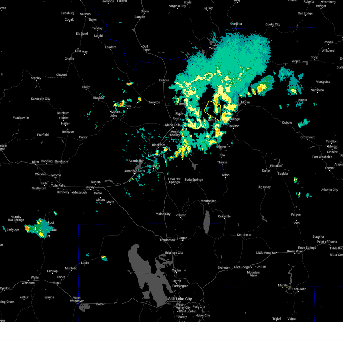 The severe thunderstorm warning for central teton county will expire at 615 pm mdt, the storm which prompted the warning has moved out of the area. therefore, the warning will be allowed to expire. however gusty winds are still possible. The severe thunderstorm warning for central teton county will expire at 615 pm mdt, the storm which prompted the warning has moved out of the area. therefore, the warning will be allowed to expire. however gusty winds are still possible.
|
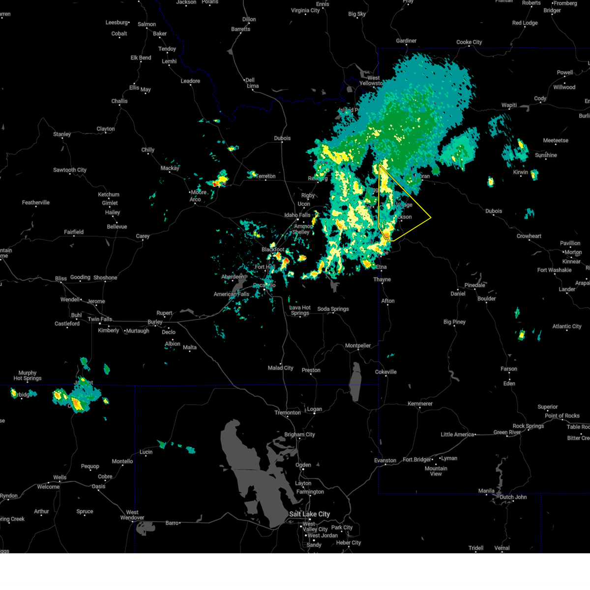
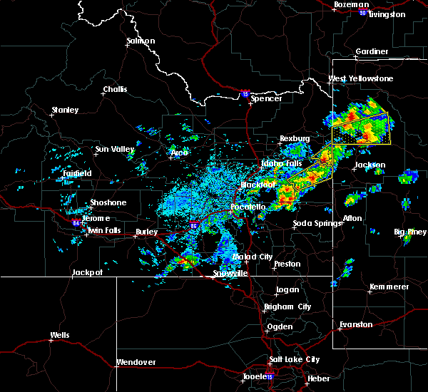
| 7/1/2023 6:05 PM MDT | Reports of trees down between alta and grand targhee resort. time estimated on rada in teton county WY, 1.4 miles NNE of Alta, WY |
| 7/1/2023 5:58 PM MDT |
 At 558 pm mdt, a severe thunderstorm was located near victor, which is also 7 miles southeast of driggs, moving southeast at 45 mph (radar indicated). Hazards include 60 mph wind gusts. Expect damage to roofs, siding, and trees. this severe thunderstorm will be near, rendezvous peak around 605 pm mdt. teton village and teton pass around 610 pm mdt. wilson around 615 pm mdt. other locations in the path of this severe thunderstorm include jackson and rafter j ranch. hail threat, radar indicated max hail size, <. 75 in wind threat, observed max wind gust, 60 mph. At 558 pm mdt, a severe thunderstorm was located near victor, which is also 7 miles southeast of driggs, moving southeast at 45 mph (radar indicated). Hazards include 60 mph wind gusts. Expect damage to roofs, siding, and trees. this severe thunderstorm will be near, rendezvous peak around 605 pm mdt. teton village and teton pass around 610 pm mdt. wilson around 615 pm mdt. other locations in the path of this severe thunderstorm include jackson and rafter j ranch. hail threat, radar indicated max hail size, <. 75 in wind threat, observed max wind gust, 60 mph.
|
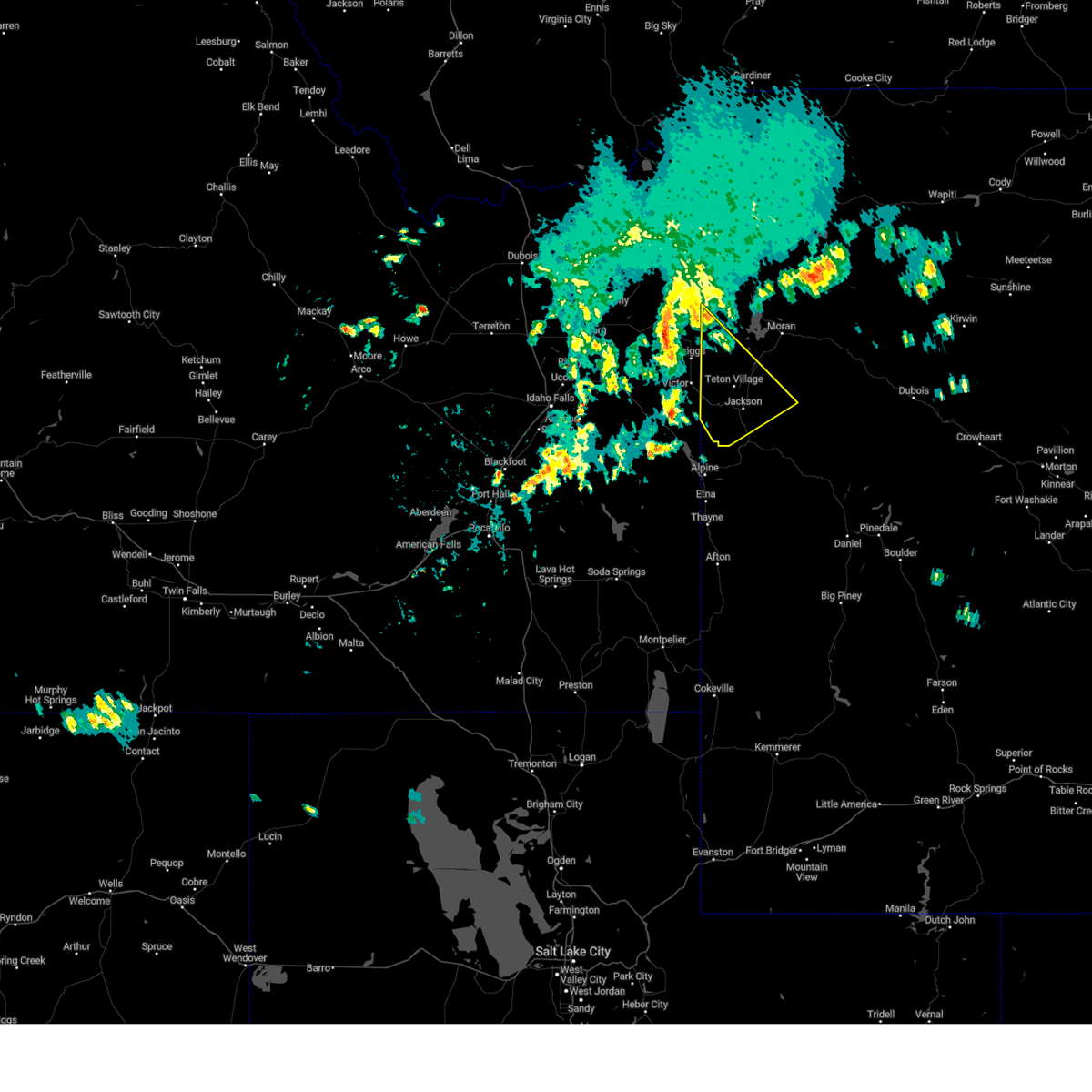
| 7/1/2023 5:52 PM MDT |
 At 552 pm mdt, a severe thunderstorm was located near tetonia, or near felt, moving southeast at 40 mph (radar indicated). Hazards include 60 mph wind gusts and penny size hail. expect damage to roofs, siding, and trees At 552 pm mdt, a severe thunderstorm was located near tetonia, or near felt, moving southeast at 40 mph (radar indicated). Hazards include 60 mph wind gusts and penny size hail. expect damage to roofs, siding, and trees
|
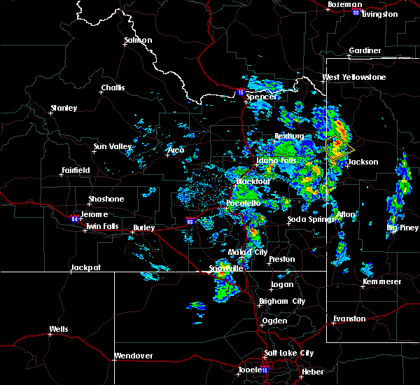
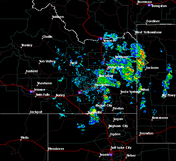
| 7/2/2022 7:18 PM MDT |
 At 718 pm mdt, a severe thunderstorm was located 8 miles northwest of grand teton, or 9 miles northeast of alta, moving northeast at 25 mph (radar indicated). Hazards include 60 mph wind gusts and nickel size hail. Expect damage to roofs, siding, and trees. locations impacted include, moran bay. hail threat, radar indicated max hail size, 0. 88 in wind threat, radar indicated max wind gust, 60 mph. At 718 pm mdt, a severe thunderstorm was located 8 miles northwest of grand teton, or 9 miles northeast of alta, moving northeast at 25 mph (radar indicated). Hazards include 60 mph wind gusts and nickel size hail. Expect damage to roofs, siding, and trees. locations impacted include, moran bay. hail threat, radar indicated max hail size, 0. 88 in wind threat, radar indicated max wind gust, 60 mph.
|
| 7/2/2022 7:03 PM MDT |
 At 702 pm mdt, a severe thunderstorm was located just southwest of alta, moving northeast at 25 mph (radar indicated). Hazards include 60 mph wind gusts and penny size hail. Expect damage to roofs, siding, and trees. this severe thunderstorm will be near, alta around 705 pm mdt. other locations in the path of this severe thunderstorm include moran bay. hail threat, radar indicated max hail size, 0. 75 in wind threat, radar indicated max wind gust, 60 mph. At 702 pm mdt, a severe thunderstorm was located just southwest of alta, moving northeast at 25 mph (radar indicated). Hazards include 60 mph wind gusts and penny size hail. Expect damage to roofs, siding, and trees. this severe thunderstorm will be near, alta around 705 pm mdt. other locations in the path of this severe thunderstorm include moran bay. hail threat, radar indicated max hail size, 0. 75 in wind threat, radar indicated max wind gust, 60 mph.
|
| 7/20/2017 2:35 PM MDT |
 The severe thunderstorm warning for southern teton county will expire at 245 pm mdt, the storm which prompted the warning has moved out of the area. therefore the warning will be allowed to expire. however gusty winds are still possible with this thunderstorm. The severe thunderstorm warning for southern teton county will expire at 245 pm mdt, the storm which prompted the warning has moved out of the area. therefore the warning will be allowed to expire. however gusty winds are still possible with this thunderstorm.
|
| 7/20/2017 2:03 PM MDT |
 At 202 pm mdt, a severe thunderstorm was located near victor or 9 miles southwest of driggs, moving northeast at 35 mph (radar indicated). Hazards include 60 mph wind gusts and quarter size hail. Hail damage to vehicles is expected. Expect wind damage to roofs, siding, and trees. At 202 pm mdt, a severe thunderstorm was located near victor or 9 miles southwest of driggs, moving northeast at 35 mph (radar indicated). Hazards include 60 mph wind gusts and quarter size hail. Hail damage to vehicles is expected. Expect wind damage to roofs, siding, and trees.
|
| 5/8/2016 8:10 PM MDT |
 At 810 pm mdt, a severe thunderstorm was located near alta, moving southeast at 5 mph (radar indicated). Hazards include quarter size hail. Damage to vehicles is expected. this severe storm will be near, grand teton around 830 pm mdt. Other locations impacted by this severe thunderstorm include teton campground, targhee village golf course, jenny lake campground and grand targhee resort. At 810 pm mdt, a severe thunderstorm was located near alta, moving southeast at 5 mph (radar indicated). Hazards include quarter size hail. Damage to vehicles is expected. this severe storm will be near, grand teton around 830 pm mdt. Other locations impacted by this severe thunderstorm include teton campground, targhee village golf course, jenny lake campground and grand targhee resort.
|
| 5/8/2016 8:02 PM MDT |
 At 801 pm mdt, a severe thunderstorm was located near alta, moving southeast at 5 mph (radar indicated). Hazards include quarter size hail. Damage to vehicles is expected. this severe thunderstorm will be near, grand teton around 830 pm mdt. Other locations impacted by this severe thunderstorm include teton campground, targhee village golf course, jenny lake campground and grand targhee resort. At 801 pm mdt, a severe thunderstorm was located near alta, moving southeast at 5 mph (radar indicated). Hazards include quarter size hail. Damage to vehicles is expected. this severe thunderstorm will be near, grand teton around 830 pm mdt. Other locations impacted by this severe thunderstorm include teton campground, targhee village golf course, jenny lake campground and grand targhee resort.
|
| 8/14/2015 7:58 PM MDT |
 At 757 pm mdt, severe thunderstorms were located along a line extending from osprey falls to near craig pass to 8 miles south of gibson meadows, moving northeast at 40 mph (radar indicated). Hazards include 60 mph wind gusts and penny size hail. Expect damage to roofs. siding and trees. these severe storms will be near, mammoth, grant village, osprey falls, swan lake, willow park and craig pass around 800 pm mdt. blacktail pond around 805 pm mdt. phantom lake around 810 pm mdt. lake, tower junction, mud volcano and floating island lake around 815 pm mdt. other locations impacted by these severe thunderstorms include indian creek campground, lake lodge, lake northwestern corporation power plant, leeks lodge, old faithful northwestern corporation power plant, cave falls campground, flagg ranch village, roosevelt lodge, lizard creek campground and tower fall campground. At 757 pm mdt, severe thunderstorms were located along a line extending from osprey falls to near craig pass to 8 miles south of gibson meadows, moving northeast at 40 mph (radar indicated). Hazards include 60 mph wind gusts and penny size hail. Expect damage to roofs. siding and trees. these severe storms will be near, mammoth, grant village, osprey falls, swan lake, willow park and craig pass around 800 pm mdt. blacktail pond around 805 pm mdt. phantom lake around 810 pm mdt. lake, tower junction, mud volcano and floating island lake around 815 pm mdt. other locations impacted by these severe thunderstorms include indian creek campground, lake lodge, lake northwestern corporation power plant, leeks lodge, old faithful northwestern corporation power plant, cave falls campground, flagg ranch village, roosevelt lodge, lizard creek campground and tower fall campground.
|
| 8/14/2015 7:38 PM MDT |
 At 736 pm mdt, severe thunderstorms were located along a line extending from near divide lake to near kepler cascades to tetonia, moving northeast at 45 mph (radar indicated). Hazards include 60 mph wind gusts. Expect damage to roofs. siding and trees. severe thunderstorms will be near, old faithful, scaup lake, kepler cascades, gallatin lake, divide lake and mystic falls around 740 pm mdt. craig pass and shoshone lake around 745 pm mdt. grant village, cache lake and willow park around 750 pm mdt. mammoth, swan lake and osprey falls around 755 pm mdt. blacktail pond around 800 pm mdt. phantom lake around 805 pm mdt. lake and mud volcano around 810 pm mdt. south entrance around 815 pm mdt. Other locations impacted by these severe thunderstorms include indian creek campground, lake lodge, lake northwestern corporation power plant, leeks lodge, old faithful northwestern corporation power plant, cave falls campground, flagg ranch village, roosevelt lodge, lizard creek campground and tower fall campground. At 736 pm mdt, severe thunderstorms were located along a line extending from near divide lake to near kepler cascades to tetonia, moving northeast at 45 mph (radar indicated). Hazards include 60 mph wind gusts. Expect damage to roofs. siding and trees. severe thunderstorms will be near, old faithful, scaup lake, kepler cascades, gallatin lake, divide lake and mystic falls around 740 pm mdt. craig pass and shoshone lake around 745 pm mdt. grant village, cache lake and willow park around 750 pm mdt. mammoth, swan lake and osprey falls around 755 pm mdt. blacktail pond around 800 pm mdt. phantom lake around 805 pm mdt. lake and mud volcano around 810 pm mdt. south entrance around 815 pm mdt. Other locations impacted by these severe thunderstorms include indian creek campground, lake lodge, lake northwestern corporation power plant, leeks lodge, old faithful northwestern corporation power plant, cave falls campground, flagg ranch village, roosevelt lodge, lizard creek campground and tower fall campground.
|
| 5/31/2015 10:27 PM MDT | At 1025 pm mdt, doppler radar indicated the leading edge of outflow from thunderstorms capable of producing damaging winds in excess of 60 mph. these storms were located along a line extending from near drummond to 6 miles east of felt to 6 miles west of teton pass, moving east at 35 mph. locations impacted include, driggs, ashton, swan valley, marysville, felt, victor, tetonia, drummond, warm river, green canyon hot springs, tetonia research station and pine creek pass. |
| 5/31/2015 10:11 PM MDT | At 1010 pm mdt, doppler radar indicated outflow from thunderstorms capable of producing damaging winds in excess of 60 mph. these storms were located along a line extending from near marysville to near felt to 7 miles south of victor, and moving east at 35 mph. |
| 5/31/2014 2:36 PM MDT | Quarter sized hail reported 21.2 miles WSW of Alta, WY, reports experiencing lots of nickel to quarter size hail. |
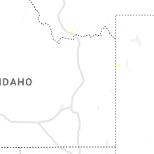
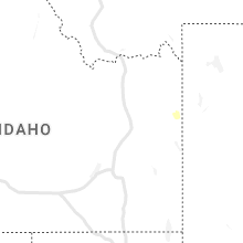
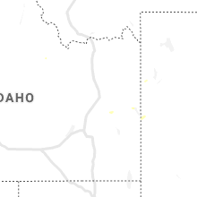
Hail Maps for Alta, WY


Connect with Interactive Hail Maps