

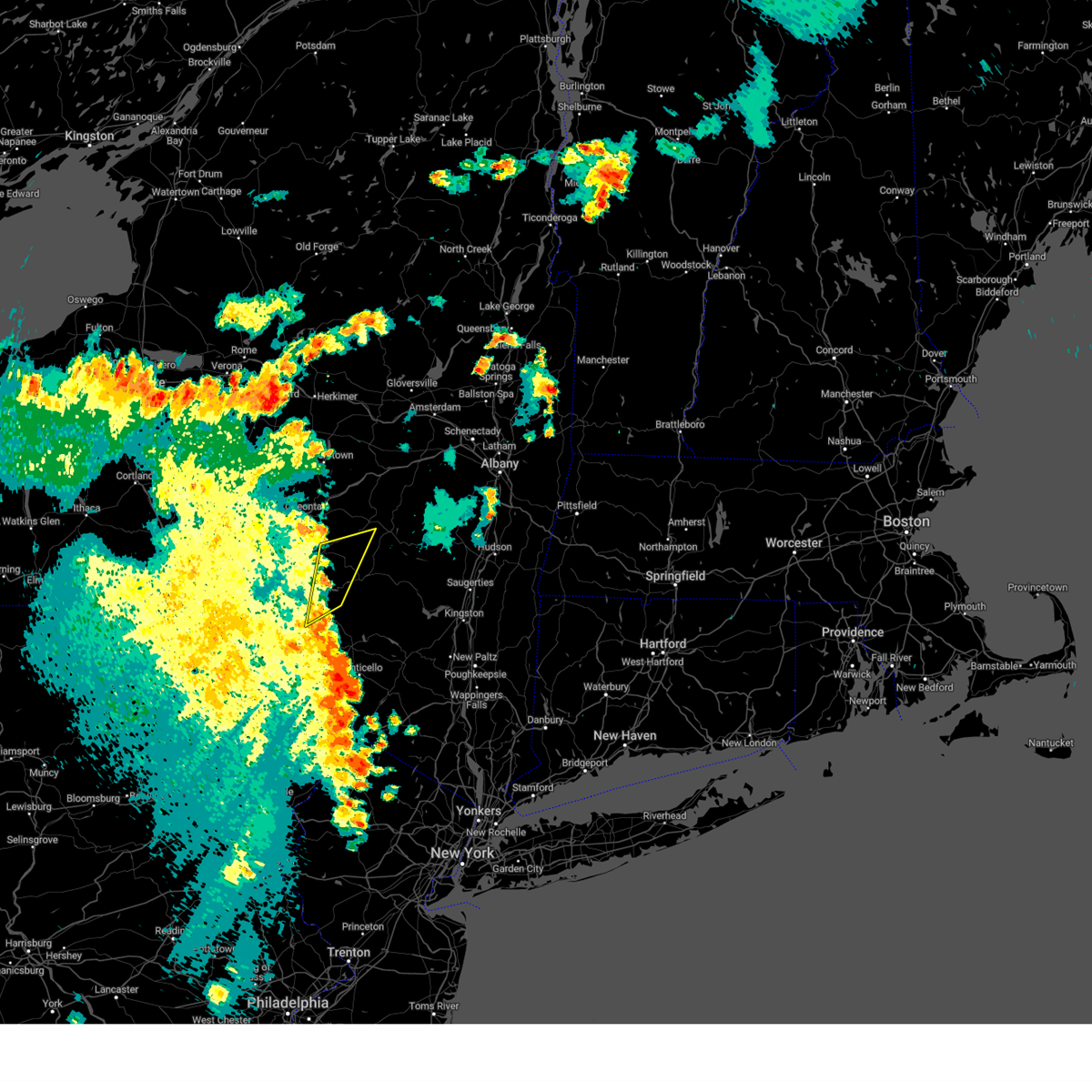
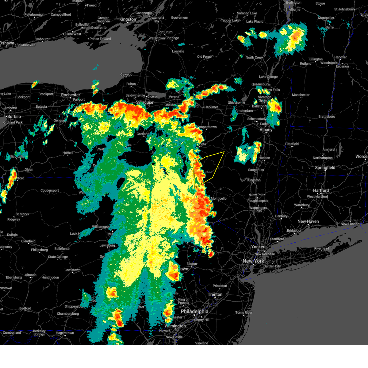
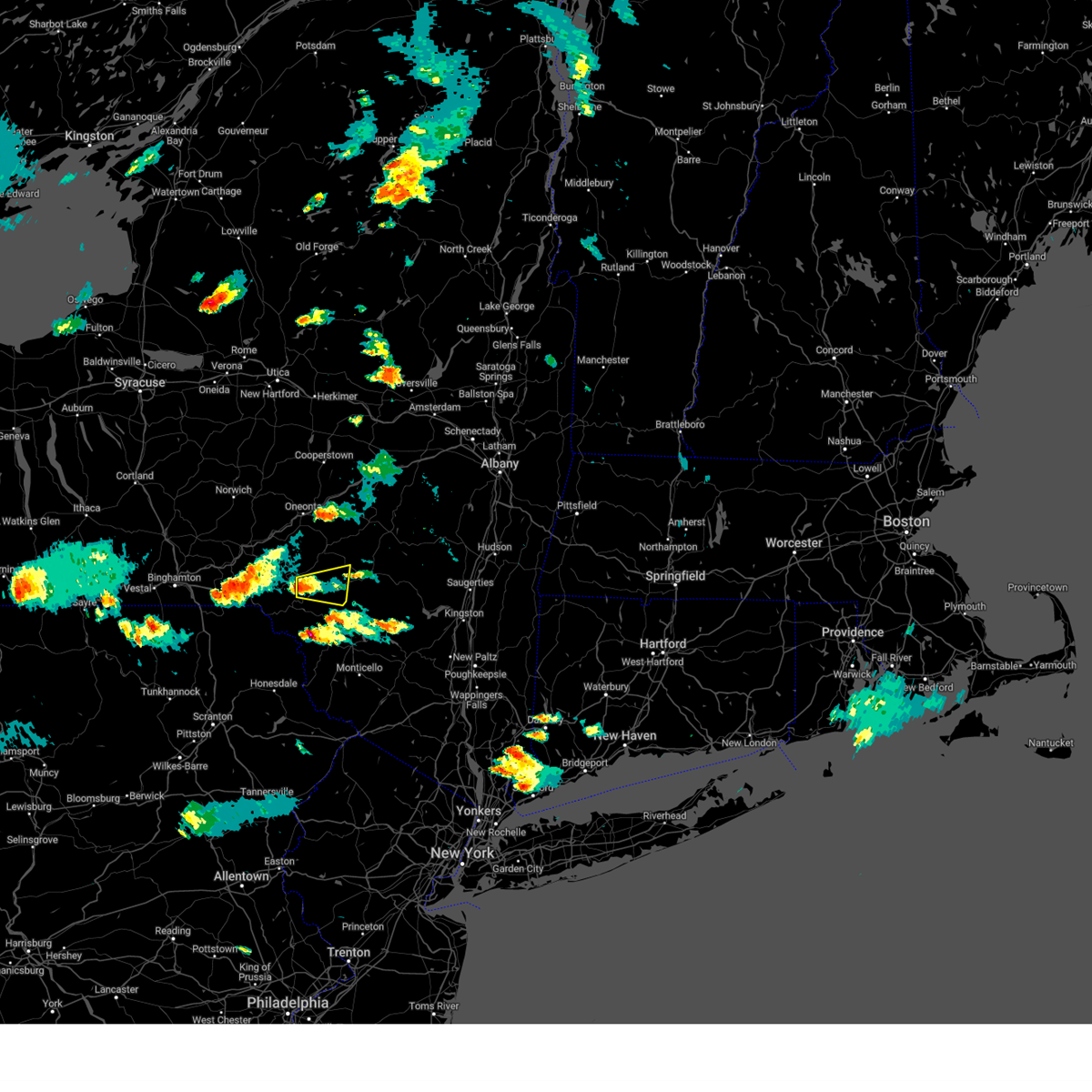
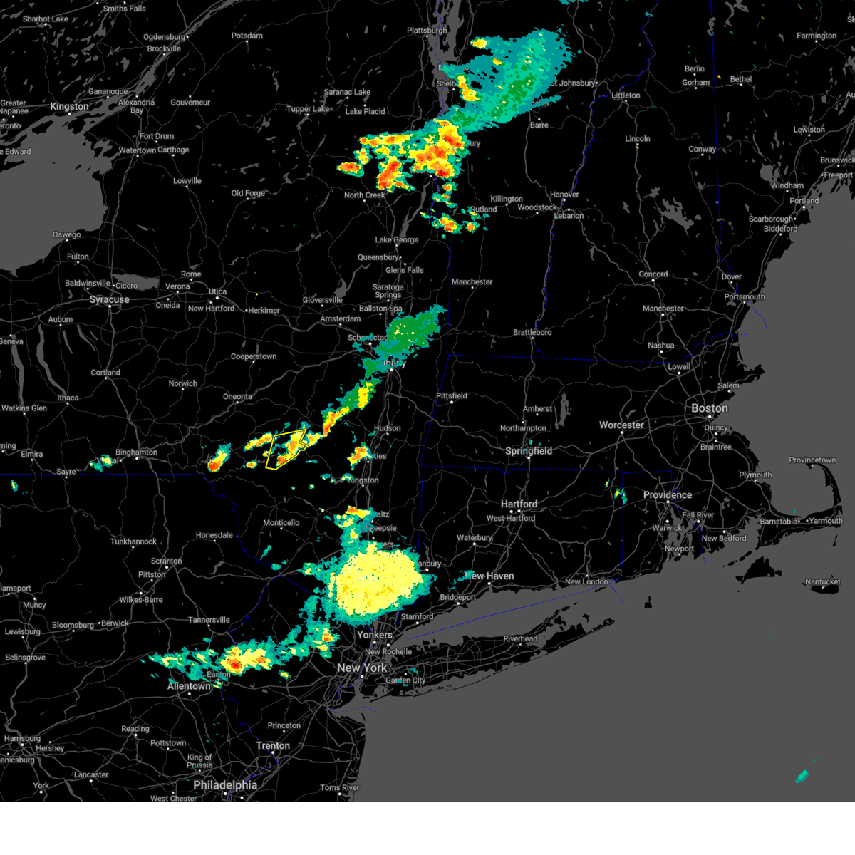
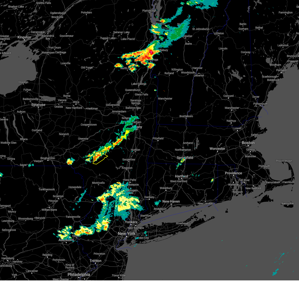
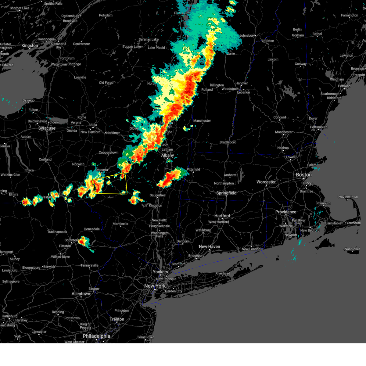
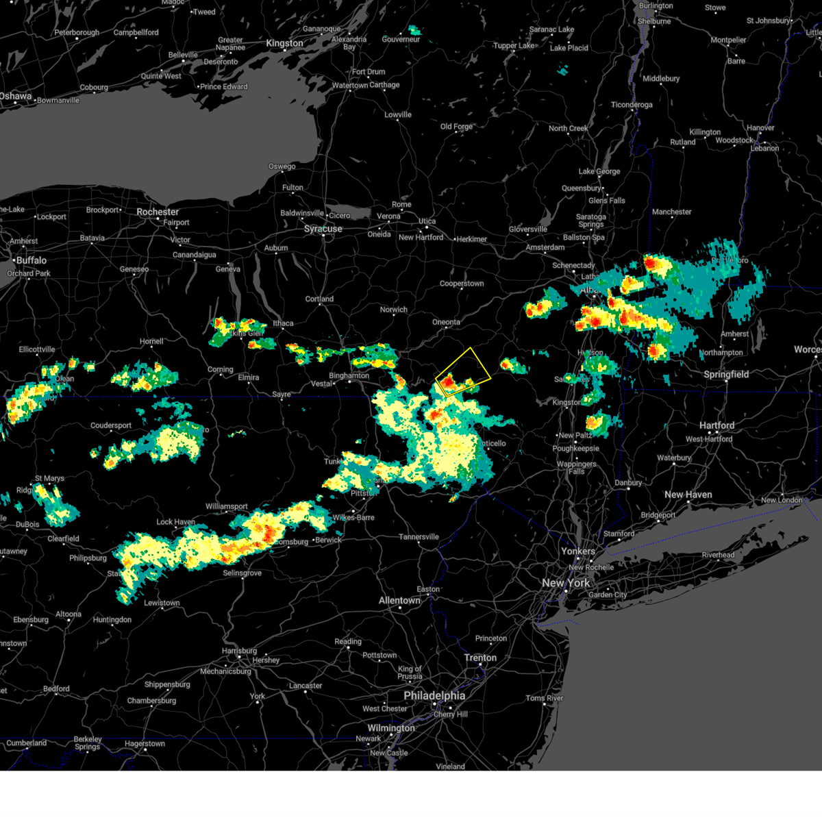
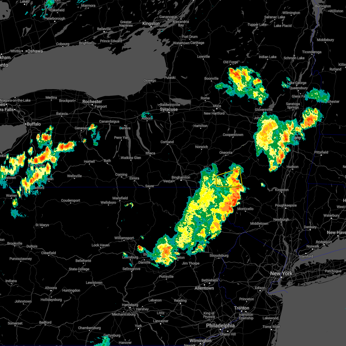
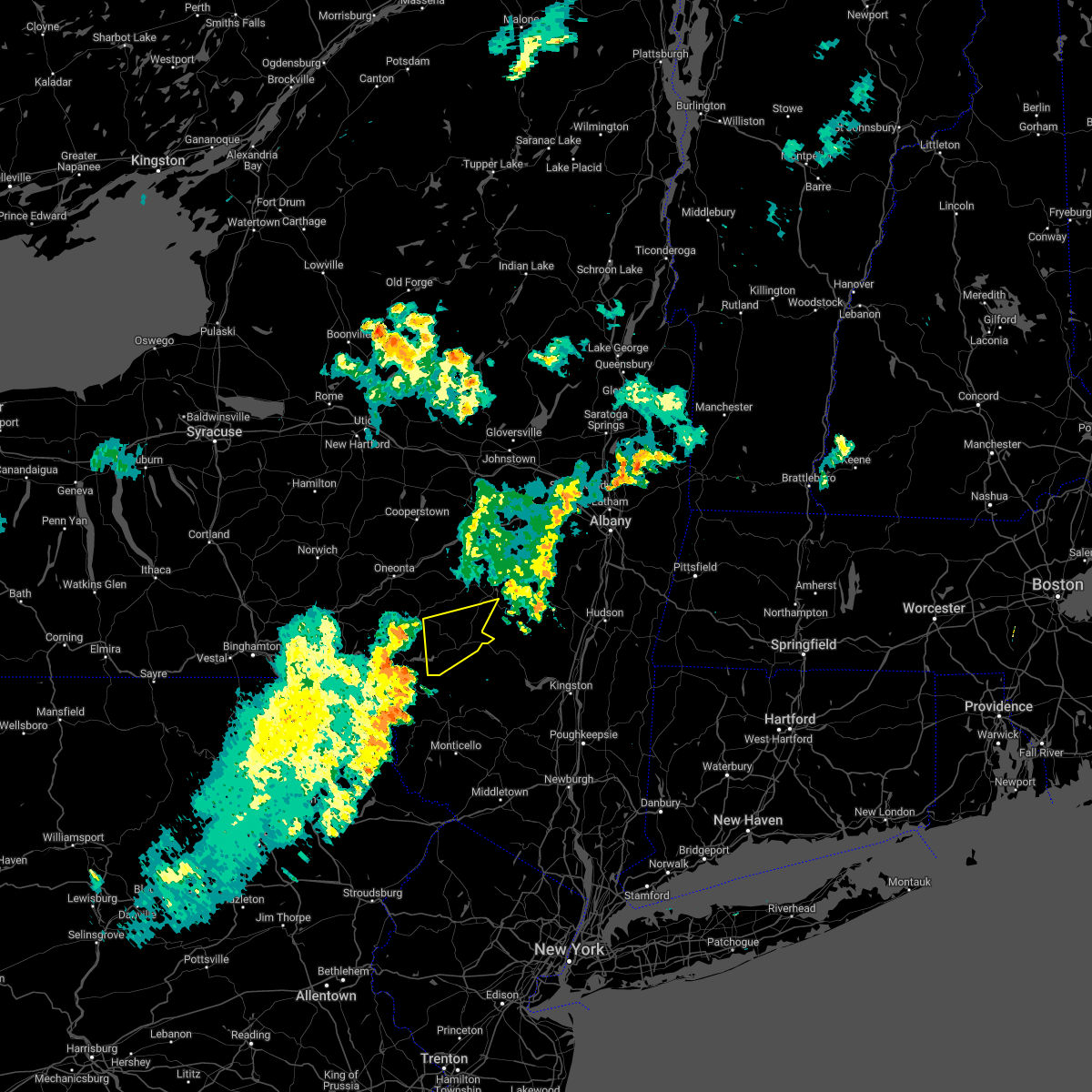
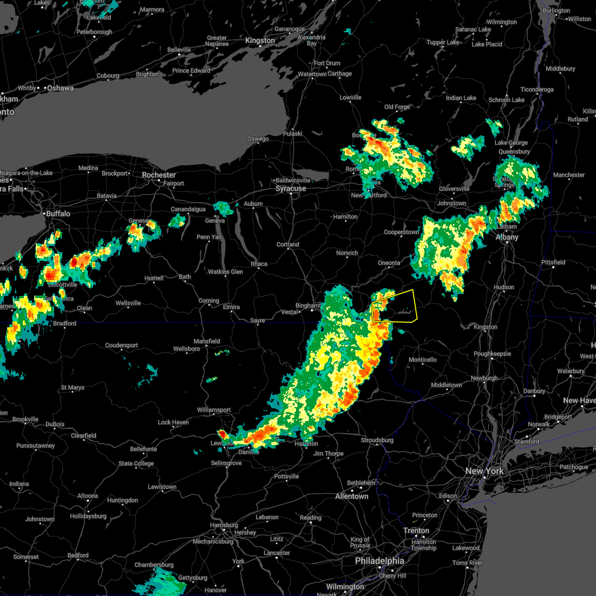
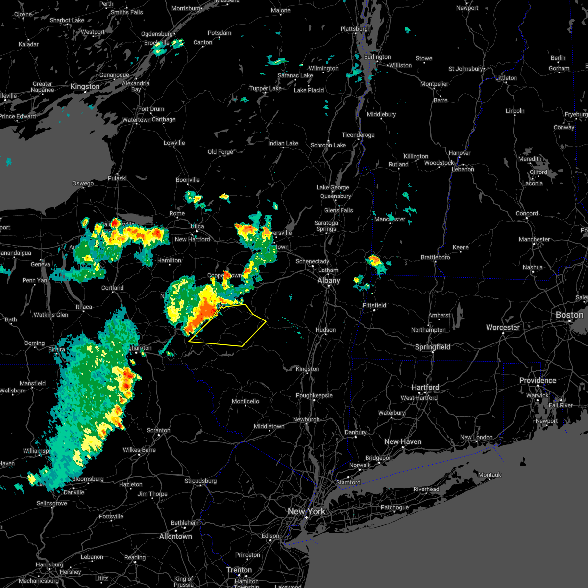
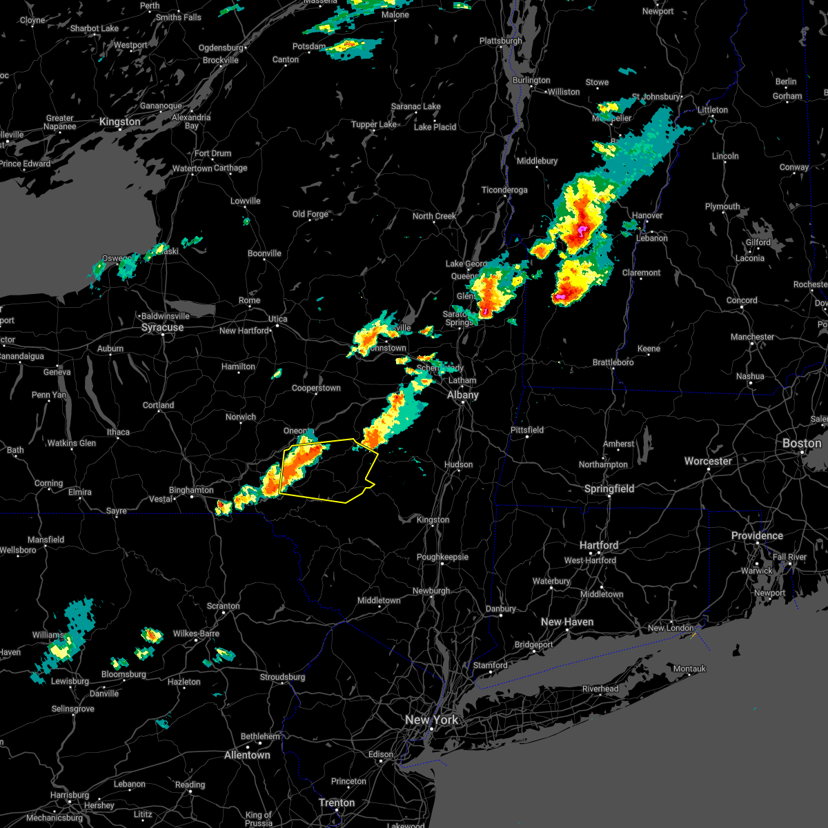
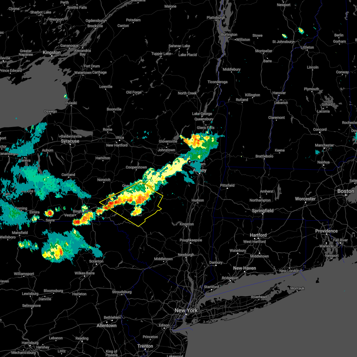
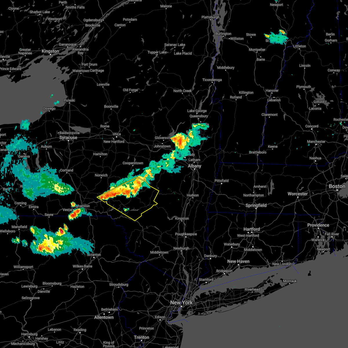
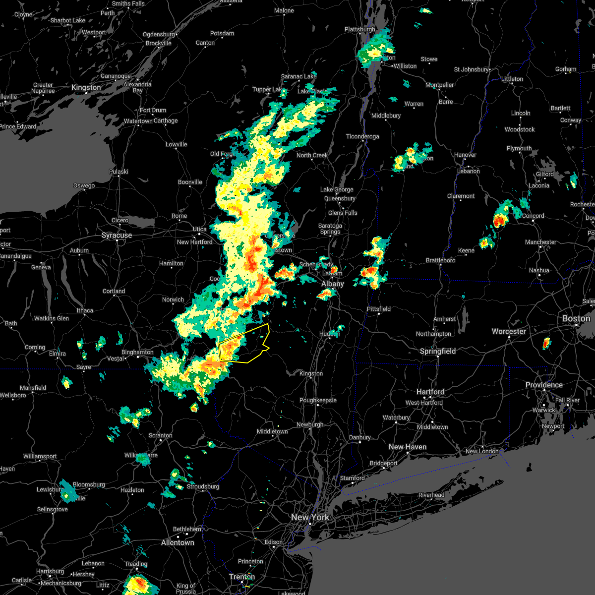
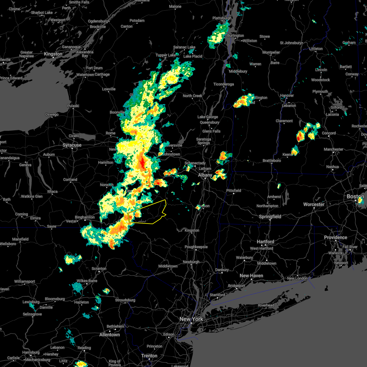
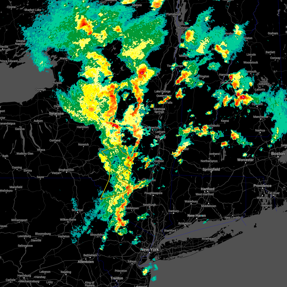
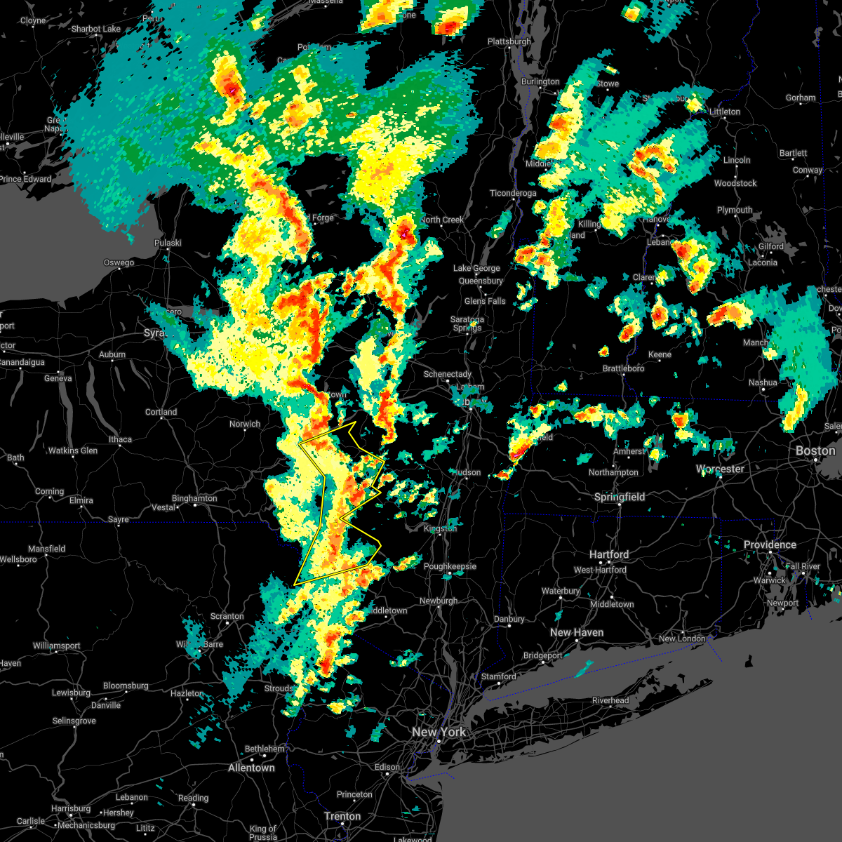
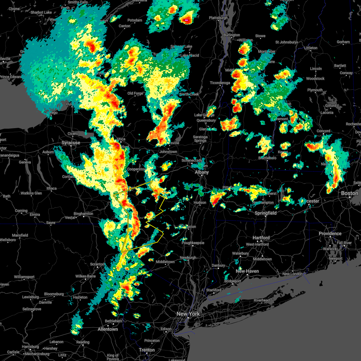
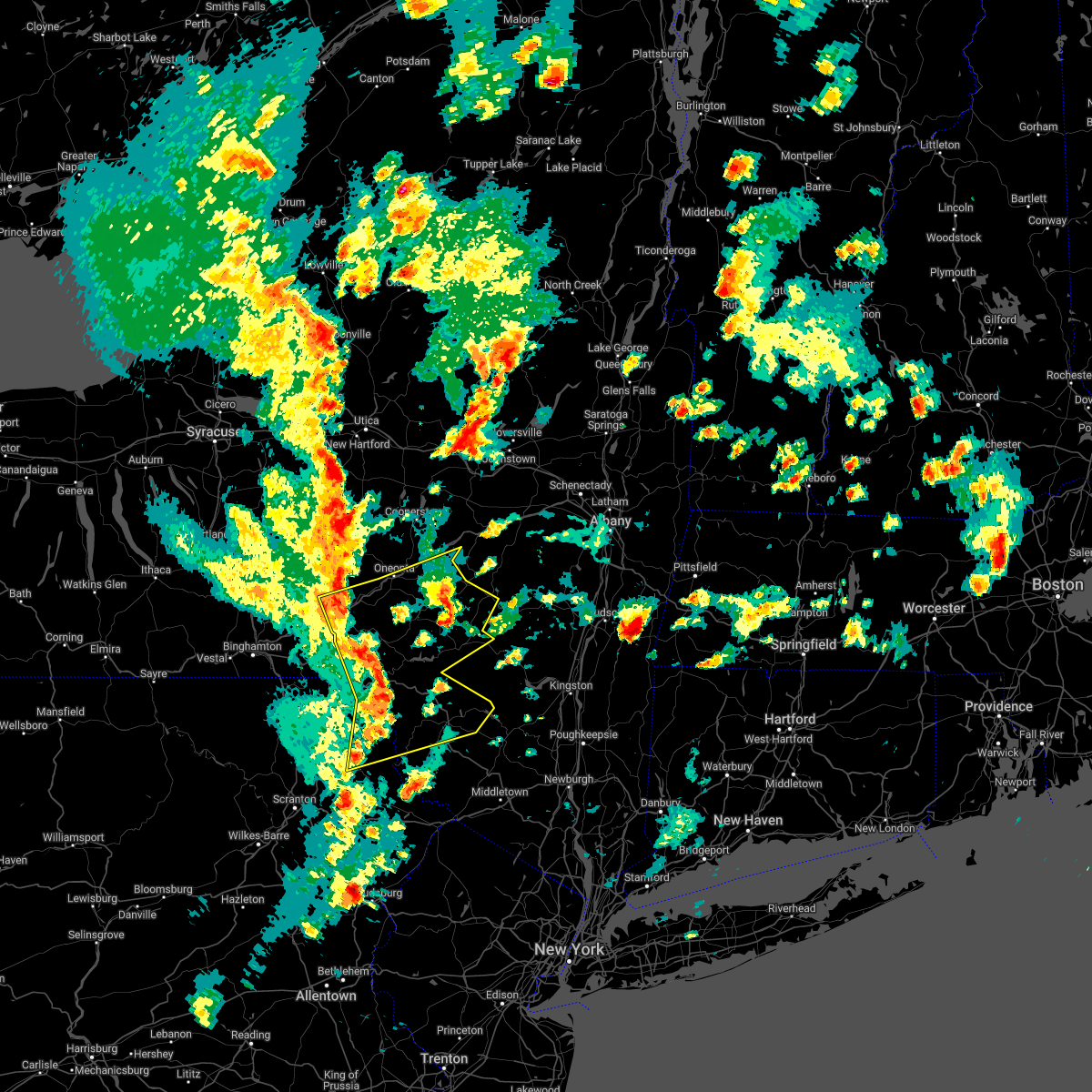
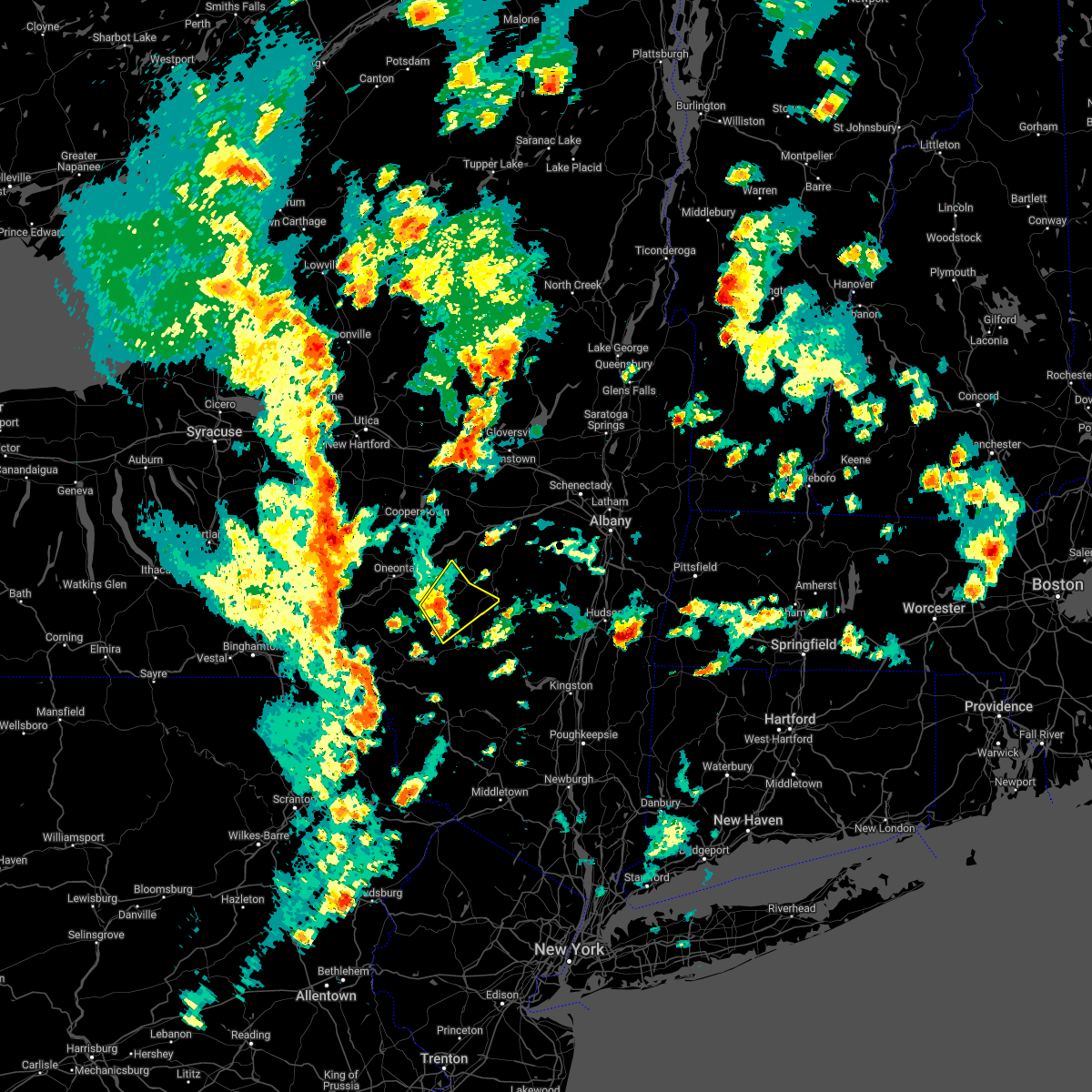
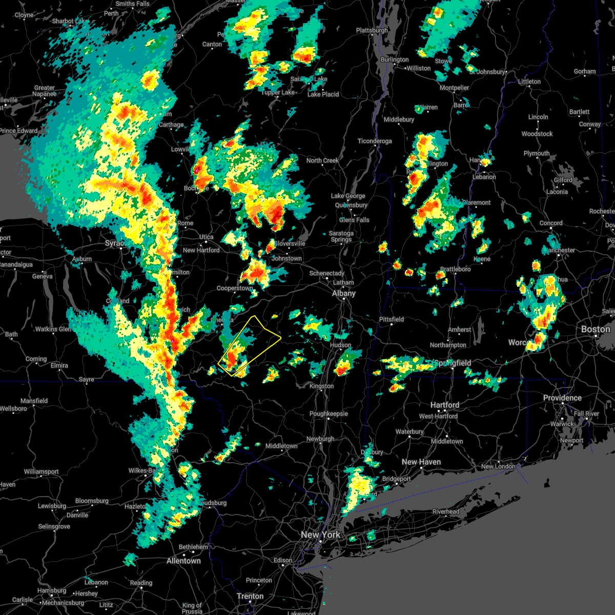
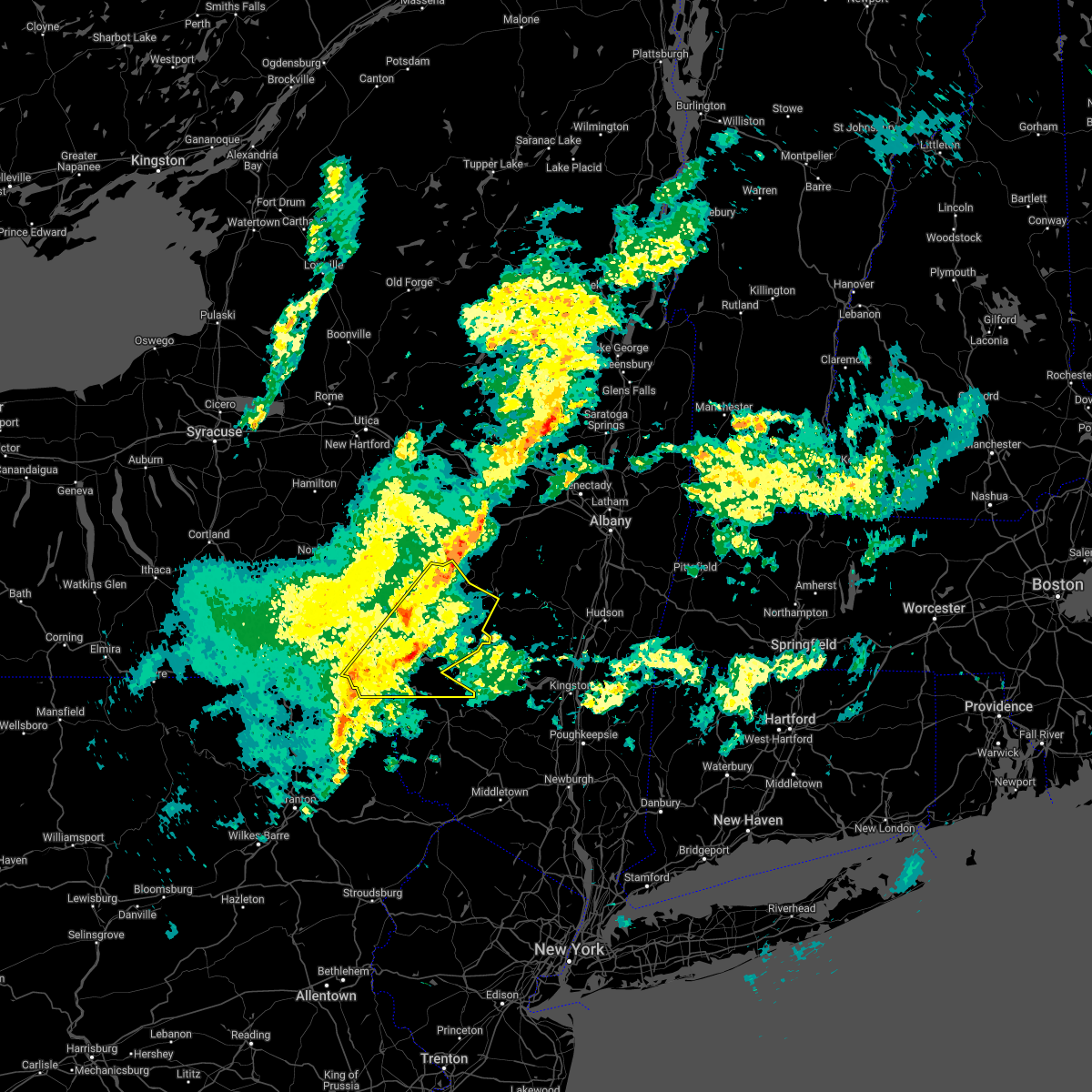
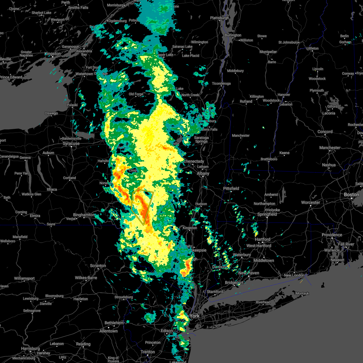
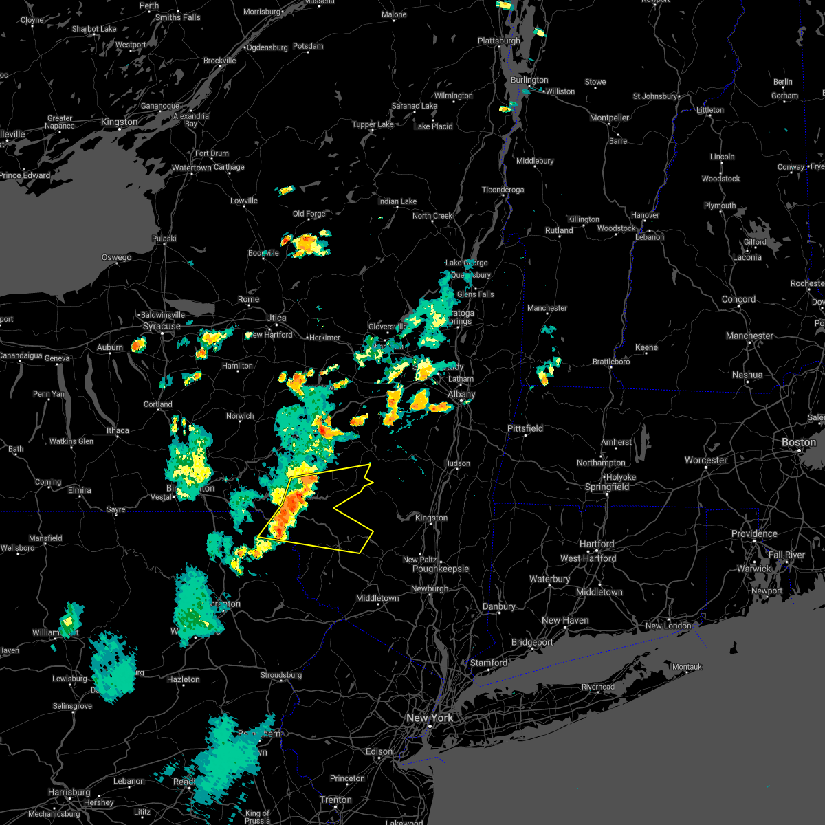
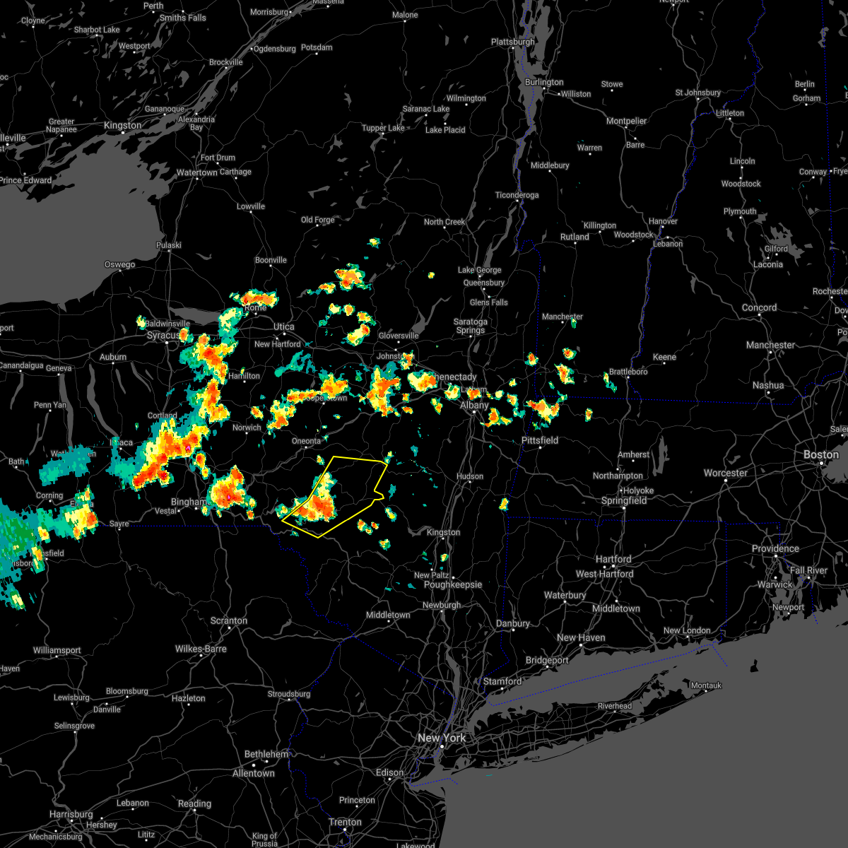
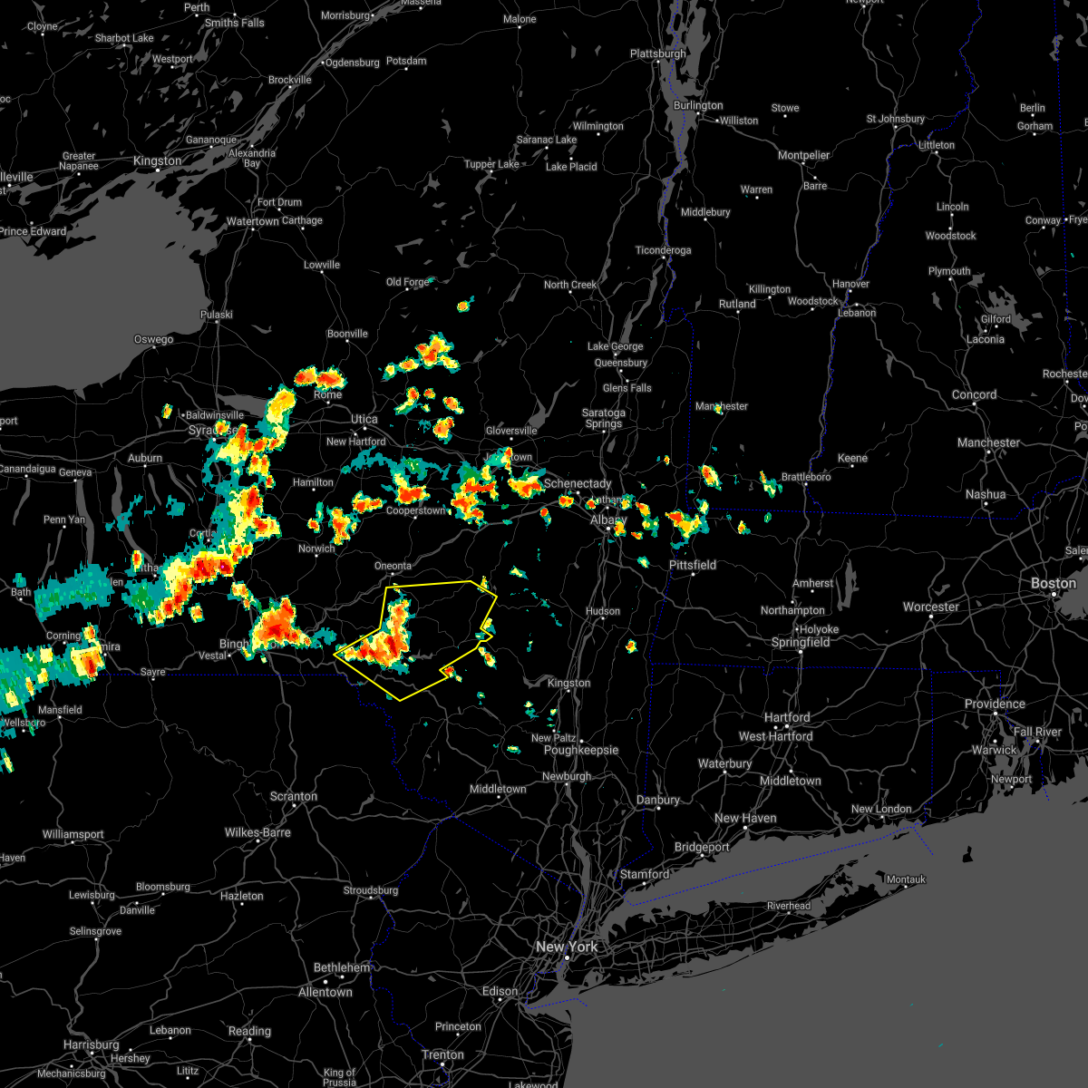
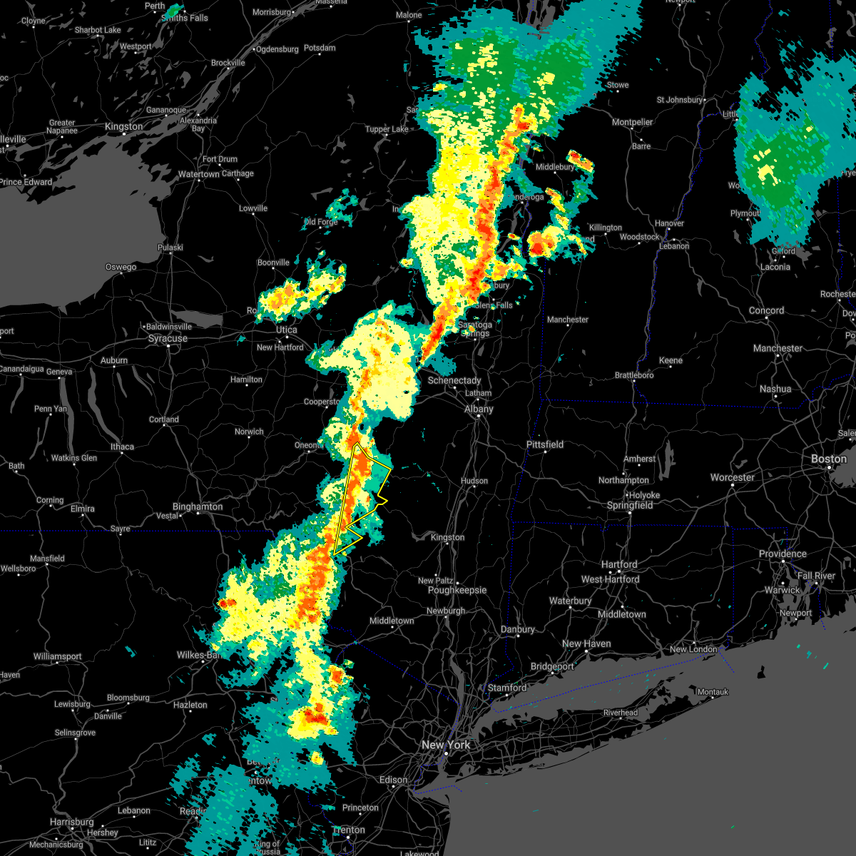
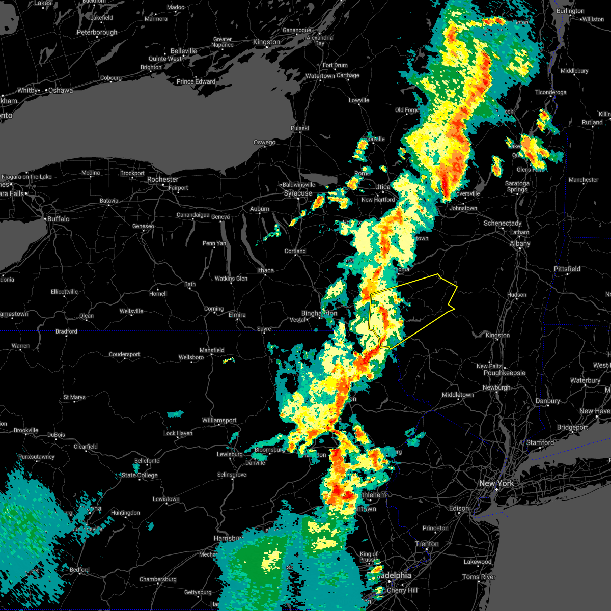
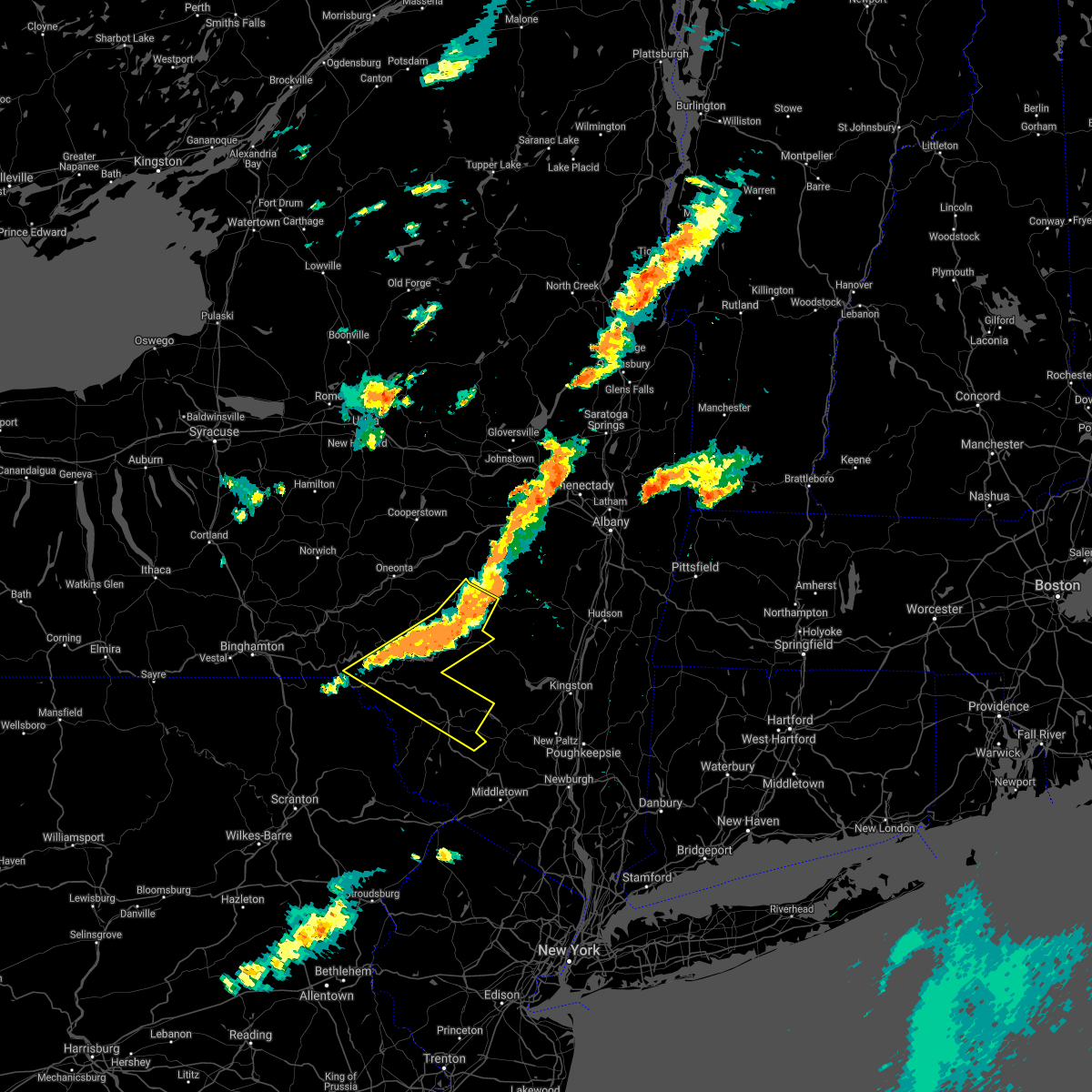
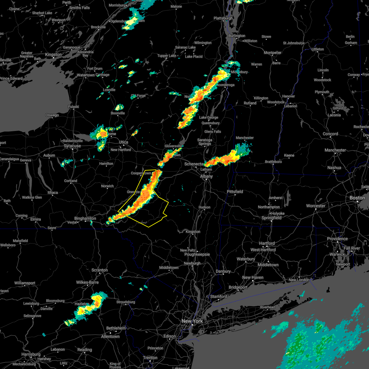
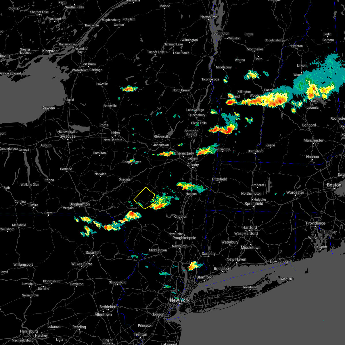
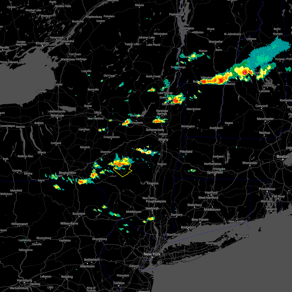
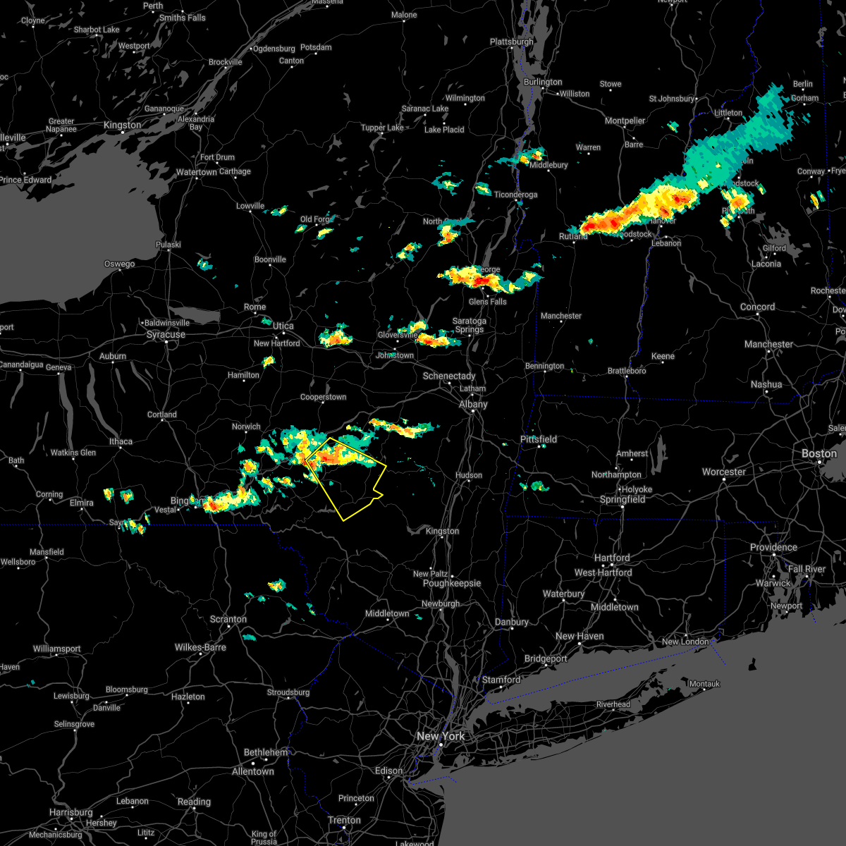
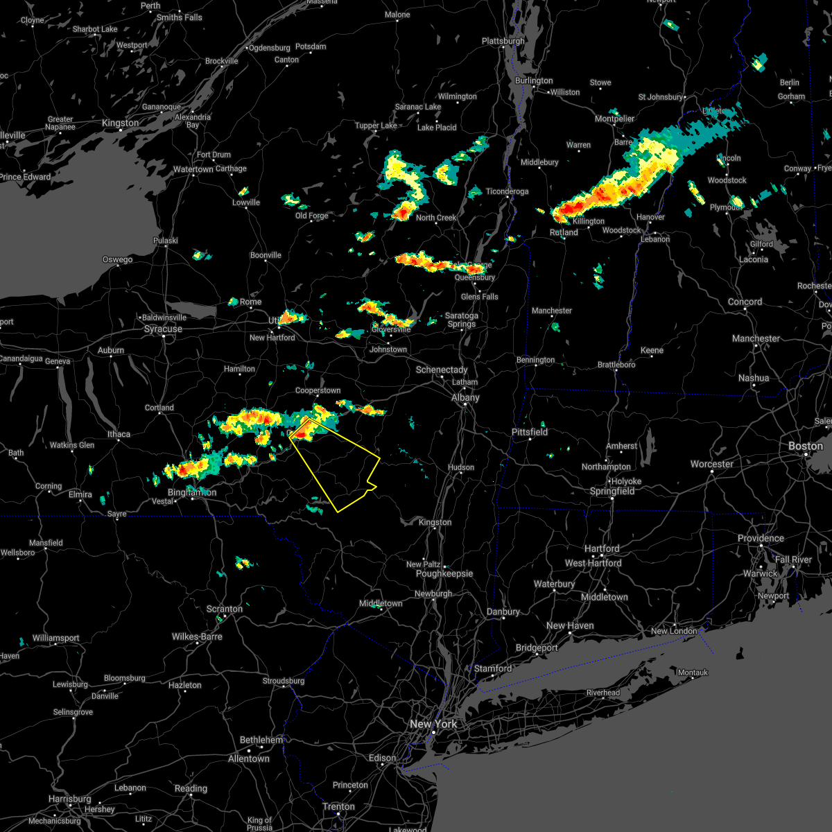
Hail Map for Andes, NY
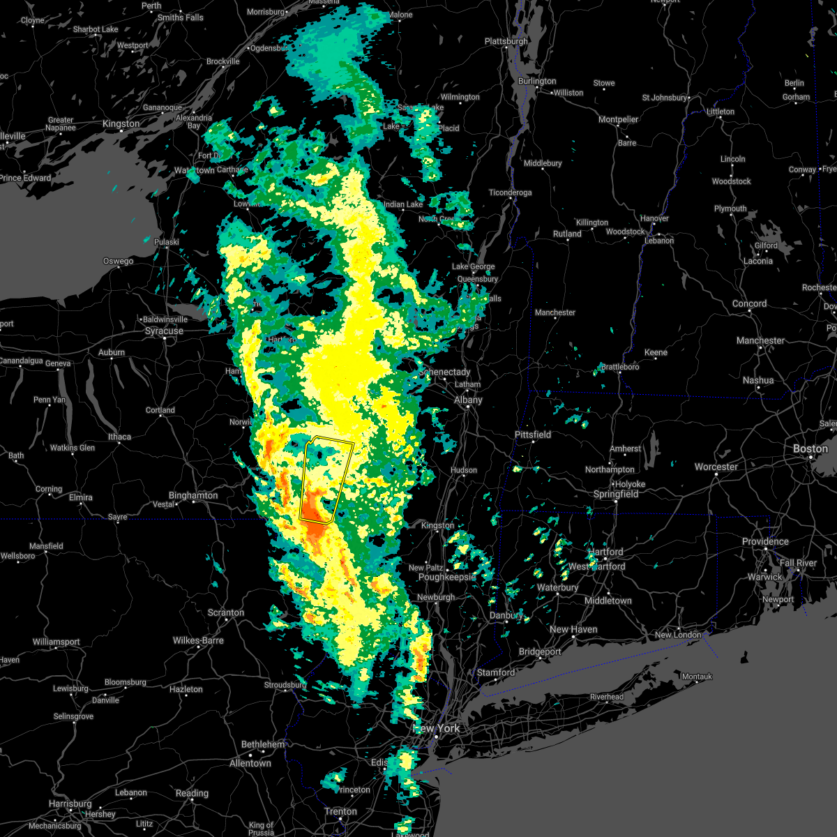
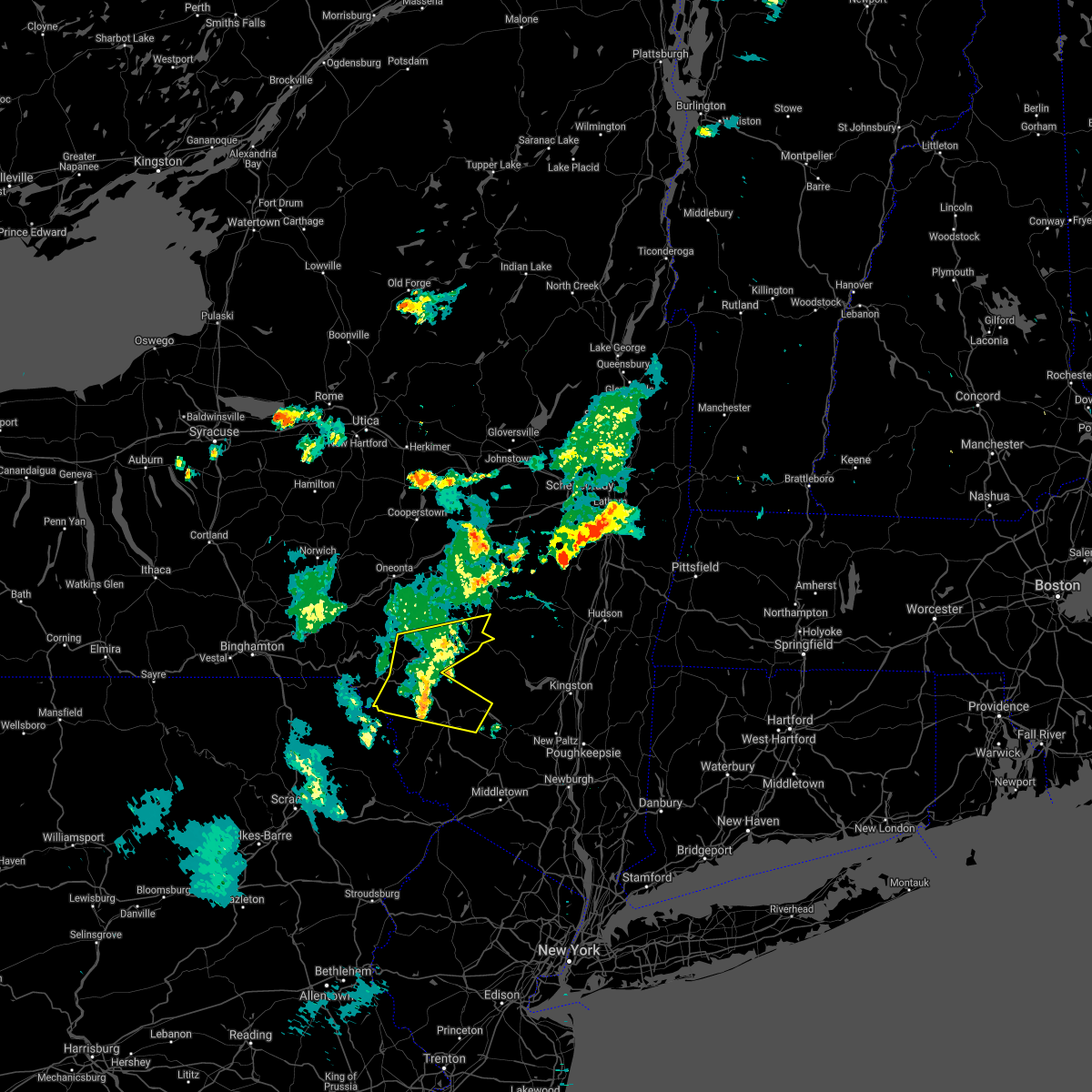
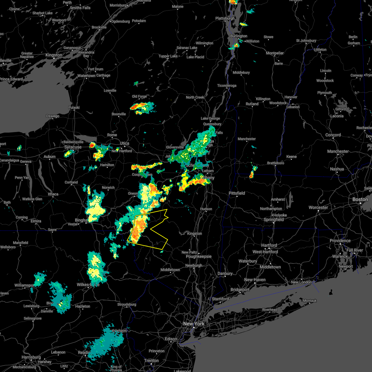
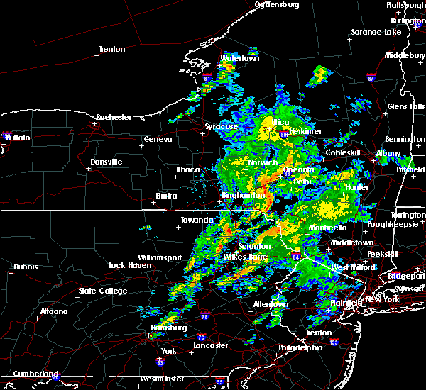
The Andes, NY area has had 0 reports of on-the-ground hail by trained spotters, and has been under severe weather warnings 15 times during the past 12 months. Doppler radar has detected hail at or near Andes, NY on 17 occasions, including 3 occasions during the past year.
| Name: | Andes, NY |
| Where Located: | 60.9 miles SW of Schenectady, NY |
| Map: | Google Map for Andes, NY |
| Population: | 252 |
| Housing Units: | 185 |
| More Info: | Search Google for Andes, NY |
5
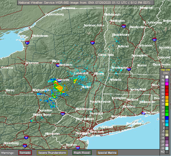
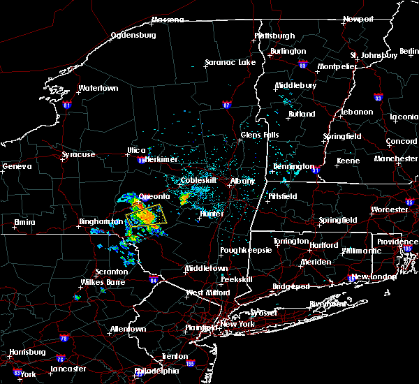
The Top Recent Hail Date for Andes, NY is Thursday, July 13, 2023 (3rd out of 17)

Hail and Wind Damage Spotted near Andes, NY
| Date / Time | Report Details |
|---|---|
| 4/14/2024 1:31 PM EDT |
 Svrbgm the national weather service in binghamton has issued a * severe thunderstorm warning for, broome county in central new york, southern delaware county in central new york, southeastern tioga county in central new york, southern chenango county in central new york, northwestern sullivan county in central new york, northeastern susquehanna county in northeastern pennsylvania, wayne county in northeastern pennsylvania, * until 230 pm edt. * at 130 pm edt, severe thunderstorms were located along a line extending from near smithville flats to near owego, moving southeast at 65 mph (radar indicated). Hazards include 60 mph wind gusts and quarter size hail. Hail damage to vehicles is expected. Expect wind damage to roofs, siding, and trees. Svrbgm the national weather service in binghamton has issued a * severe thunderstorm warning for, broome county in central new york, southern delaware county in central new york, southeastern tioga county in central new york, southern chenango county in central new york, northwestern sullivan county in central new york, northeastern susquehanna county in northeastern pennsylvania, wayne county in northeastern pennsylvania, * until 230 pm edt. * at 130 pm edt, severe thunderstorms were located along a line extending from near smithville flats to near owego, moving southeast at 65 mph (radar indicated). Hazards include 60 mph wind gusts and quarter size hail. Hail damage to vehicles is expected. Expect wind damage to roofs, siding, and trees.
|
| 9/7/2023 6:46 PM EDT |
 At 646 pm edt, a severe thunderstorm was located near delhi, moving northeast at 35 mph (radar indicated). Hazards include 60 mph wind gusts. Expect damage to roofs, siding, and trees. locations impacted include, delhi, andes, bovina center, downsville, east delhi, russell brook campsite, wolf hollow, and new kingston. hail threat, radar indicated max hail size, <. 75 in wind threat, radar indicated max wind gust, 60 mph. At 646 pm edt, a severe thunderstorm was located near delhi, moving northeast at 35 mph (radar indicated). Hazards include 60 mph wind gusts. Expect damage to roofs, siding, and trees. locations impacted include, delhi, andes, bovina center, downsville, east delhi, russell brook campsite, wolf hollow, and new kingston. hail threat, radar indicated max hail size, <. 75 in wind threat, radar indicated max wind gust, 60 mph.
|
| 9/7/2023 6:32 PM EDT |
 At 631 pm edt, a severe thunderstorm was located near downsville, or near walton, moving northeast at 35 mph (radar indicated). Hazards include 60 mph wind gusts. Expect damage to roofs, siding, and trees. locations impacted include, walton, delhi, colchester, hamden, andes, fishs eddy, harvard, bovina center, downsville, and corbett. hail threat, radar indicated max hail size, <. 75 in wind threat, radar indicated max wind gust, 60 mph. At 631 pm edt, a severe thunderstorm was located near downsville, or near walton, moving northeast at 35 mph (radar indicated). Hazards include 60 mph wind gusts. Expect damage to roofs, siding, and trees. locations impacted include, walton, delhi, colchester, hamden, andes, fishs eddy, harvard, bovina center, downsville, and corbett. hail threat, radar indicated max hail size, <. 75 in wind threat, radar indicated max wind gust, 60 mph.
|
| 9/7/2023 6:08 PM EDT |
 At 608 pm edt, a severe thunderstorm was located over fishs eddy, or 13 miles south of walton, moving northeast at 35 mph (radar indicated). Hazards include 60 mph wind gusts. expect damage to roofs, siding, and trees At 608 pm edt, a severe thunderstorm was located over fishs eddy, or 13 miles south of walton, moving northeast at 35 mph (radar indicated). Hazards include 60 mph wind gusts. expect damage to roofs, siding, and trees
|
| 8/12/2023 5:25 PM EDT |
 At 525 pm edt, a severe thunderstorm was located near corbett, or 7 miles southeast of walton, moving east at 10 mph (radar indicated). Hazards include 60 mph wind gusts and quarter size hail. Hail damage to vehicles is expected. Expect wind damage to roofs, siding, and trees. At 525 pm edt, a severe thunderstorm was located near corbett, or 7 miles southeast of walton, moving east at 10 mph (radar indicated). Hazards include 60 mph wind gusts and quarter size hail. Hail damage to vehicles is expected. Expect wind damage to roofs, siding, and trees.
|
| 7/14/2023 8:40 PM EDT |
 The severe thunderstorm warning for east central delaware county will expire at 845 pm edt, the storm which prompted the warning has weakened below severe limits, and has exited the warned area. therefore, the warning will be allowed to expire. however heavy rain is still possible with this thunderstorm. The severe thunderstorm warning for east central delaware county will expire at 845 pm edt, the storm which prompted the warning has weakened below severe limits, and has exited the warned area. therefore, the warning will be allowed to expire. however heavy rain is still possible with this thunderstorm.
|
| 7/14/2023 8:17 PM EDT |
 At 817 pm edt, a severe thunderstorm was located over margaretville, or 15 miles southeast of delhi, moving east at 20 mph (radar indicated). Hazards include 60 mph wind gusts and penny size hail. Expect damage to roofs, siding, and trees. locations impacted include, margaretville, fleischmanns, arkville, dunraven, big pond campsite, halcottsville, little pond campground and new kingston. hail threat, radar indicated max hail size, 0. 75 in wind threat, radar indicated max wind gust, 60 mph. At 817 pm edt, a severe thunderstorm was located over margaretville, or 15 miles southeast of delhi, moving east at 20 mph (radar indicated). Hazards include 60 mph wind gusts and penny size hail. Expect damage to roofs, siding, and trees. locations impacted include, margaretville, fleischmanns, arkville, dunraven, big pond campsite, halcottsville, little pond campground and new kingston. hail threat, radar indicated max hail size, 0. 75 in wind threat, radar indicated max wind gust, 60 mph.
|
| 7/14/2023 7:59 PM EDT |
 At 759 pm edt, a severe thunderstorm was located near andes, or 10 miles south of delhi, moving east at 20 mph (radar indicated). Hazards include 60 mph wind gusts and quarter size hail. Hail damage to vehicles is expected. Expect wind damage to roofs, siding, and trees. At 759 pm edt, a severe thunderstorm was located near andes, or 10 miles south of delhi, moving east at 20 mph (radar indicated). Hazards include 60 mph wind gusts and quarter size hail. Hail damage to vehicles is expected. Expect wind damage to roofs, siding, and trees.
|
| 7/13/2023 7:11 PM EDT |
 At 711 pm edt, a severe thunderstorm was located over bovina center, or 8 miles east of delhi, moving east at 25 mph (radar indicated). Hazards include 60 mph wind gusts and quarter size hail. Hail damage to vehicles is expected. expect wind damage to roofs, siding, and trees. locations impacted include, andes, stamford, margaretville, hobart, arkville, bovina center, wolf hollow, halcottsville and new kingston. hail threat, radar indicated max hail size, 1. 00 in wind threat, radar indicated max wind gust, 60 mph. At 711 pm edt, a severe thunderstorm was located over bovina center, or 8 miles east of delhi, moving east at 25 mph (radar indicated). Hazards include 60 mph wind gusts and quarter size hail. Hail damage to vehicles is expected. expect wind damage to roofs, siding, and trees. locations impacted include, andes, stamford, margaretville, hobart, arkville, bovina center, wolf hollow, halcottsville and new kingston. hail threat, radar indicated max hail size, 1. 00 in wind threat, radar indicated max wind gust, 60 mph.
|
| 7/13/2023 6:47 PM EDT |
 At 647 pm edt, a severe thunderstorm was located over delhi, moving east at 25 mph (radar indicated). Hazards include 60 mph wind gusts and quarter size hail. Hail damage to vehicles is expected. expect wind damage to roofs, siding, and trees. locations impacted include, delhi, kortright, meredith, hamden, andes, stamford, margaretville, hobart, arkville and meridale. hail threat, radar indicated max hail size, 1. 00 in wind threat, radar indicated max wind gust, 60 mph. At 647 pm edt, a severe thunderstorm was located over delhi, moving east at 25 mph (radar indicated). Hazards include 60 mph wind gusts and quarter size hail. Hail damage to vehicles is expected. expect wind damage to roofs, siding, and trees. locations impacted include, delhi, kortright, meredith, hamden, andes, stamford, margaretville, hobart, arkville and meridale. hail threat, radar indicated max hail size, 1. 00 in wind threat, radar indicated max wind gust, 60 mph.
|
| 7/13/2023 6:31 PM EDT |
 At 631 pm edt, a severe thunderstorm was located near colchester, or near walton, moving east at 25 mph (radar indicated). Hazards include 60 mph wind gusts and half dollar size hail. Hail damage to vehicles is expected. Expect wind damage to roofs, siding, and trees. At 631 pm edt, a severe thunderstorm was located near colchester, or near walton, moving east at 25 mph (radar indicated). Hazards include 60 mph wind gusts and half dollar size hail. Hail damage to vehicles is expected. Expect wind damage to roofs, siding, and trees.
|
| 7/12/2023 6:06 PM EDT |
 The severe thunderstorm warning for central delaware county will expire at 615 pm edt, the storm which prompted the warning has weakened below severe limits, and has exited the warned area. therefore, the warning will be allowed to expire. The severe thunderstorm warning for central delaware county will expire at 615 pm edt, the storm which prompted the warning has weakened below severe limits, and has exited the warned area. therefore, the warning will be allowed to expire.
|
| 7/12/2023 5:49 PM EDT |
 At 549 pm edt, a severe thunderstorm was located over andes, or 7 miles southeast of delhi, moving northeast at 35 mph (radar indicated). Hazards include 60 mph wind gusts and quarter size hail. Hail damage to vehicles is expected. expect wind damage to roofs, siding, and trees. locations impacted include, delhi, andes, dunraven, wolf hollow and east delhi. hail threat, radar indicated max hail size, 1. 00 in wind threat, radar indicated max wind gust, 60 mph. At 549 pm edt, a severe thunderstorm was located over andes, or 7 miles southeast of delhi, moving northeast at 35 mph (radar indicated). Hazards include 60 mph wind gusts and quarter size hail. Hail damage to vehicles is expected. expect wind damage to roofs, siding, and trees. locations impacted include, delhi, andes, dunraven, wolf hollow and east delhi. hail threat, radar indicated max hail size, 1. 00 in wind threat, radar indicated max wind gust, 60 mph.
|
| 7/12/2023 5:40 PM EDT |
 At 540 pm edt, a severe thunderstorm was located near downsville, or 8 miles south of delhi, moving northeast at 40 mph (radar indicated). Hazards include 60 mph wind gusts and quarter size hail. Hail damage to vehicles is expected. expect wind damage to roofs, siding, and trees. locations impacted include, delhi, colchester, hamden, andes, downsville, dunraven, wolf hollow and east delhi. hail threat, radar indicated max hail size, 1. 00 in wind threat, radar indicated max wind gust, 60 mph. At 540 pm edt, a severe thunderstorm was located near downsville, or 8 miles south of delhi, moving northeast at 40 mph (radar indicated). Hazards include 60 mph wind gusts and quarter size hail. Hail damage to vehicles is expected. expect wind damage to roofs, siding, and trees. locations impacted include, delhi, colchester, hamden, andes, downsville, dunraven, wolf hollow and east delhi. hail threat, radar indicated max hail size, 1. 00 in wind threat, radar indicated max wind gust, 60 mph.
|
| 7/12/2023 5:32 PM EDT |
 At 532 pm edt, a severe thunderstorm was located over downsville, or 7 miles southeast of walton, moving northeast at 35 mph (radar indicated). Hazards include 60 mph wind gusts and quarter size hail. Hail damage to vehicles is expected. Expect wind damage to roofs, siding, and trees. At 532 pm edt, a severe thunderstorm was located over downsville, or 7 miles southeast of walton, moving northeast at 35 mph (radar indicated). Hazards include 60 mph wind gusts and quarter size hail. Hail damage to vehicles is expected. Expect wind damage to roofs, siding, and trees.
|
| 2/21/2023 4:03 PM EST |
 At 402 pm est, severe thunderstorms were located along a line extending from near walton to hiawatha, moving east at 45 mph (radar indicated). Hazards include 60 mph wind gusts and pea size hail. Expect damage to roofs, siding, and trees. locations impacted include, rockland, walton, colchester, hamden, andes, hancock, starrucca, hiawatha, shehawken and starlight. hail threat, radar indicated max hail size, 0. 75 in wind threat, radar indicated max wind gust, 60 mph. At 402 pm est, severe thunderstorms were located along a line extending from near walton to hiawatha, moving east at 45 mph (radar indicated). Hazards include 60 mph wind gusts and pea size hail. Expect damage to roofs, siding, and trees. locations impacted include, rockland, walton, colchester, hamden, andes, hancock, starrucca, hiawatha, shehawken and starlight. hail threat, radar indicated max hail size, 0. 75 in wind threat, radar indicated max wind gust, 60 mph.
|
| 2/21/2023 3:38 PM EST |
 At 338 pm est, severe thunderstorms were located along a line extending from near sanford to near hallstead, moving east at 45 mph (radar indicated). Hazards include 60 mph wind gusts and penny size hail. expect damage to roofs, siding, and trees At 338 pm est, severe thunderstorms were located along a line extending from near sanford to near hallstead, moving east at 45 mph (radar indicated). Hazards include 60 mph wind gusts and penny size hail. expect damage to roofs, siding, and trees
|
| 7/24/2022 7:09 PM EDT |
 The severe thunderstorm warning for central delaware county will expire at 715 pm edt, the storm which prompted the warning has moved out of the area. therefore, the warning will be allowed to expire. a severe thunderstorm watch remains in effect until 1000 pm edt for central new york. to report severe weather, contact your nearest law enforcement agency. they will relay your report to the national weather service binghamton. remember, a severe thunderstorm warning still remains in effect for eastern delaware counrty until 0745pm. The severe thunderstorm warning for central delaware county will expire at 715 pm edt, the storm which prompted the warning has moved out of the area. therefore, the warning will be allowed to expire. a severe thunderstorm watch remains in effect until 1000 pm edt for central new york. to report severe weather, contact your nearest law enforcement agency. they will relay your report to the national weather service binghamton. remember, a severe thunderstorm warning still remains in effect for eastern delaware counrty until 0745pm.
|
| 7/24/2022 7:08 PM EDT |
 At 707 pm edt, a severe thunderstorm was located near margaretville, or 14 miles southeast of delhi, moving east at 45 mph (radar indicated). Hazards include 60 mph wind gusts. expect damage to roofs, siding, and trees At 707 pm edt, a severe thunderstorm was located near margaretville, or 14 miles southeast of delhi, moving east at 45 mph (radar indicated). Hazards include 60 mph wind gusts. expect damage to roofs, siding, and trees
|
| 7/24/2022 6:44 PM EDT |
 At 644 pm edt, a severe thunderstorm was located near harvard, or 7 miles south of walton, moving east at 45 mph (radar indicated). Hazards include 60 mph wind gusts. expect damage to roofs, siding, and trees At 644 pm edt, a severe thunderstorm was located near harvard, or 7 miles south of walton, moving east at 45 mph (radar indicated). Hazards include 60 mph wind gusts. expect damage to roofs, siding, and trees
|
| 7/24/2022 5:45 PM EDT |
 At 545 pm edt, severe thunderstorms were located along a line extending from colliersville to near meridale to near sidney center, moving east at 55 mph (radar indicated). Hazards include 60 mph wind gusts. expect damage to roofs, siding, and trees At 545 pm edt, severe thunderstorms were located along a line extending from colliersville to near meridale to near sidney center, moving east at 55 mph (radar indicated). Hazards include 60 mph wind gusts. expect damage to roofs, siding, and trees
|
| 7/12/2022 3:15 PM EDT |
 At 315 pm edt, a severe thunderstorm was located near colchester, or near walton, moving east at 45 mph (radar indicated). Hazards include 60 mph wind gusts and penny size hail. expect damage to roofs, siding, and trees At 315 pm edt, a severe thunderstorm was located near colchester, or near walton, moving east at 45 mph (radar indicated). Hazards include 60 mph wind gusts and penny size hail. expect damage to roofs, siding, and trees
|
| 7/1/2022 9:51 PM EDT |
 The severe thunderstorm warning for southern otsego, delaware, southeastern chenango and northern sullivan counties will expire at 1000 pm edt, the storms which prompted the warning have weakened below severe limits, and no longer pose an immediate threat to life or property. therefore, the warning will be allowed to expire. The severe thunderstorm warning for southern otsego, delaware, southeastern chenango and northern sullivan counties will expire at 1000 pm edt, the storms which prompted the warning have weakened below severe limits, and no longer pose an immediate threat to life or property. therefore, the warning will be allowed to expire.
|
| 7/1/2022 9:35 PM EDT |
 At 934 pm edt, severe thunderstorms were located along a line extending from near stamford to near afton, moving east at 30 mph (radar indicated). Hazards include 60 mph wind gusts and quarter size hail. Hail damage to vehicles is expected. expect wind damage to roofs, siding, and trees. locations impacted include, rockland, oneonta, sidney, walton, delhi, davenport, roxbury, colchester, kortright and meredith. hail threat, radar indicated max hail size, 1. 00 in wind threat, radar indicated max wind gust, 60 mph. At 934 pm edt, severe thunderstorms were located along a line extending from near stamford to near afton, moving east at 30 mph (radar indicated). Hazards include 60 mph wind gusts and quarter size hail. Hail damage to vehicles is expected. expect wind damage to roofs, siding, and trees. locations impacted include, rockland, oneonta, sidney, walton, delhi, davenport, roxbury, colchester, kortright and meredith. hail threat, radar indicated max hail size, 1. 00 in wind threat, radar indicated max wind gust, 60 mph.
|
| 7/1/2022 9:20 PM EDT |
 At 919 pm edt, severe thunderstorms were located along a line extending from stamford to near sanford, moving southeast at 30 mph (radar indicated). Hazards include 60 mph wind gusts and quarter size hail. Hail damage to vehicles is expected. Expect wind damage to roofs, siding, and trees. At 919 pm edt, severe thunderstorms were located along a line extending from stamford to near sanford, moving southeast at 30 mph (radar indicated). Hazards include 60 mph wind gusts and quarter size hail. Hail damage to vehicles is expected. Expect wind damage to roofs, siding, and trees.
|
| 5/22/2022 4:52 PM EDT |
 At 452 pm edt, a severe thunderstorm was located over andes, or 9 miles southeast of delhi, moving east at 40 mph (radar indicated). Hazards include 60 mph wind gusts and penny size hail. Expect damage to roofs, siding, and trees. locations impacted include, roxbury, hamden, andes, margaretville, fleischmanns, arkville, bovina center, downsville, dunraven and wolf hollow. hail threat, radar indicated max hail size, 0. 75 in wind threat, radar indicated max wind gust, 60 mph. At 452 pm edt, a severe thunderstorm was located over andes, or 9 miles southeast of delhi, moving east at 40 mph (radar indicated). Hazards include 60 mph wind gusts and penny size hail. Expect damage to roofs, siding, and trees. locations impacted include, roxbury, hamden, andes, margaretville, fleischmanns, arkville, bovina center, downsville, dunraven and wolf hollow. hail threat, radar indicated max hail size, 0. 75 in wind threat, radar indicated max wind gust, 60 mph.
|
| 5/22/2022 4:36 PM EDT |
 At 435 pm edt, a severe thunderstorm was located near colchester, or near walton, moving east at 40 mph (radar indicated). Hazards include 60 mph wind gusts and penny size hail. expect damage to roofs, siding, and trees At 435 pm edt, a severe thunderstorm was located near colchester, or near walton, moving east at 40 mph (radar indicated). Hazards include 60 mph wind gusts and penny size hail. expect damage to roofs, siding, and trees
|
| 5/16/2022 3:36 PM EDT |
 The severe thunderstorm warning for southeastern otsego, eastern delaware, northern sullivan and eastern wayne counties will expire at 345 pm edt, the storms which prompted the warning have moved out of the area. therefore, the warning will be allowed to expire. a severe thunderstorm watch remains in effect until 400 pm edt for central new york, and northeastern pennsylvania. to report severe weather, contact your nearest law enforcement agency. they will relay your report to the national weather service binghamton. The severe thunderstorm warning for southeastern otsego, eastern delaware, northern sullivan and eastern wayne counties will expire at 345 pm edt, the storms which prompted the warning have moved out of the area. therefore, the warning will be allowed to expire. a severe thunderstorm watch remains in effect until 400 pm edt for central new york, and northeastern pennsylvania. to report severe weather, contact your nearest law enforcement agency. they will relay your report to the national weather service binghamton.
|
| 5/16/2022 3:15 PM EDT |
 At 315 pm edt, severe thunderstorms were located along a line extending from near meridale to near hobart to margaretville to livingston manor, moving northeast at 35 mph (radar indicated). Hazards include 60 mph wind gusts. Expect damage to roofs, siding, and trees. locations impacted include, rockland, oneonta, liberty, bethel, damascus, neversink, south fallsburg, delhi, callicoon and davenport. hail threat, radar indicated max hail size, <. 75 in wind threat, radar indicated max wind gust, 60 mph. At 315 pm edt, severe thunderstorms were located along a line extending from near meridale to near hobart to margaretville to livingston manor, moving northeast at 35 mph (radar indicated). Hazards include 60 mph wind gusts. Expect damage to roofs, siding, and trees. locations impacted include, rockland, oneonta, liberty, bethel, damascus, neversink, south fallsburg, delhi, callicoon and davenport. hail threat, radar indicated max hail size, <. 75 in wind threat, radar indicated max wind gust, 60 mph.
|
| 5/16/2022 2:53 PM EDT |
 At 253 pm edt, severe thunderstorms were located along a line extending from near franklin to near delhi to 6 miles northeast of roscoe to near hortonville, moving northeast at 45 mph (radar indicated). Hazards include 60 mph wind gusts. Expect damage to roofs, siding, and trees. locations impacted include, rockland, oneonta, liberty, bethel, damascus, neversink, south fallsburg, walton, delhi and callicoon. hail threat, radar indicated max hail size, <. 75 in wind threat, radar indicated max wind gust, 60 mph. At 253 pm edt, severe thunderstorms were located along a line extending from near franklin to near delhi to 6 miles northeast of roscoe to near hortonville, moving northeast at 45 mph (radar indicated). Hazards include 60 mph wind gusts. Expect damage to roofs, siding, and trees. locations impacted include, rockland, oneonta, liberty, bethel, damascus, neversink, south fallsburg, walton, delhi and callicoon. hail threat, radar indicated max hail size, <. 75 in wind threat, radar indicated max wind gust, 60 mph.
|
| 5/16/2022 2:39 PM EDT |
 At 238 pm edt, severe thunderstorms were located along a line extending from near otego to 6 miles southwest of sidney center to near walton to near east branch to near rutledgedale, moving northeast at 45 mph (radar indicated). Hazards include 60 mph wind gusts. Expect damage to roofs, siding, and trees. locations impacted include, rockland, oneonta, liberty, bethel, sidney, damascus, neversink, south fallsburg, walton and delhi. hail threat, radar indicated max hail size, <. 75 in wind threat, radar indicated max wind gust, 60 mph. At 238 pm edt, severe thunderstorms were located along a line extending from near otego to 6 miles southwest of sidney center to near walton to near east branch to near rutledgedale, moving northeast at 45 mph (radar indicated). Hazards include 60 mph wind gusts. Expect damage to roofs, siding, and trees. locations impacted include, rockland, oneonta, liberty, bethel, sidney, damascus, neversink, south fallsburg, walton and delhi. hail threat, radar indicated max hail size, <. 75 in wind threat, radar indicated max wind gust, 60 mph.
|
| 5/16/2022 2:29 PM EDT |
 At 228 pm edt, a severe thunderstorm was located over bovina center, or 7 miles east of delhi, moving northeast at 40 mph (radar indicated). Hazards include 60 mph wind gusts. Expect damage to roofs, siding, and trees. locations impacted include, roxbury, kortright, andes, stamford, hobart, bovina center, east delhi and new kingston. hail threat, radar indicated max hail size, <. 75 in wind threat, radar indicated max wind gust, 60 mph. At 228 pm edt, a severe thunderstorm was located over bovina center, or 7 miles east of delhi, moving northeast at 40 mph (radar indicated). Hazards include 60 mph wind gusts. Expect damage to roofs, siding, and trees. locations impacted include, roxbury, kortright, andes, stamford, hobart, bovina center, east delhi and new kingston. hail threat, radar indicated max hail size, <. 75 in wind threat, radar indicated max wind gust, 60 mph.
|
| 5/16/2022 2:24 PM EDT |
 At 224 pm edt, severe thunderstorms were located along a line extending from near sidney to near deposit to near stalker to prompton, moving northeast at 35 mph (radar indicated). Hazards include 60 mph wind gusts. expect damage to roofs, siding, and trees At 224 pm edt, severe thunderstorms were located along a line extending from near sidney to near deposit to near stalker to prompton, moving northeast at 35 mph (radar indicated). Hazards include 60 mph wind gusts. expect damage to roofs, siding, and trees
|
| 5/16/2022 2:09 PM EDT |
 At 209 pm edt, a severe thunderstorm was located near downsville, or 8 miles east of walton, moving northeast at 20 mph (radar indicated). Hazards include 60 mph wind gusts and penny size hail. expect damage to roofs, siding, and trees At 209 pm edt, a severe thunderstorm was located near downsville, or 8 miles east of walton, moving northeast at 20 mph (radar indicated). Hazards include 60 mph wind gusts and penny size hail. expect damage to roofs, siding, and trees
|
| 3/31/2022 6:13 PM EDT |
 At 612 pm edt, severe thunderstorms were located along a line extending from near jefferson to near meredith to near andes to hancock, moving northeast at 40 mph (radar indicated). Hazards include 60 mph wind gusts and penny size hail. Expect damage to roofs, siding, and trees. Locations impacted include, rockland, walton, delhi, davenport, roxbury, colchester, kortright, meredith, hamden and andes. At 612 pm edt, severe thunderstorms were located along a line extending from near jefferson to near meredith to near andes to hancock, moving northeast at 40 mph (radar indicated). Hazards include 60 mph wind gusts and penny size hail. Expect damage to roofs, siding, and trees. Locations impacted include, rockland, walton, delhi, davenport, roxbury, colchester, kortright, meredith, hamden and andes.
|
| 3/31/2022 5:39 PM EDT |
 At 538 pm edt, severe thunderstorms were located along a line extending from cooperstown junction to franklin to walton to hancock, moving northeast at 65 mph (radar indicated). Hazards include 60 mph wind gusts and penny size hail. expect damage to roofs, siding, and trees At 538 pm edt, severe thunderstorms were located along a line extending from cooperstown junction to franklin to walton to hancock, moving northeast at 65 mph (radar indicated). Hazards include 60 mph wind gusts and penny size hail. expect damage to roofs, siding, and trees
|
| 3/7/2022 7:55 PM EST |
 At 755 pm est, a severe thunderstorm was located near andes, or 8 miles south of delhi, moving east at 55 mph (radar indicated). Hazards include 70 mph wind gusts. Expect considerable tree damage. Damage is likely to mobile homes, roofs, and outbuildings. At 755 pm est, a severe thunderstorm was located near andes, or 8 miles south of delhi, moving east at 55 mph (radar indicated). Hazards include 70 mph wind gusts. Expect considerable tree damage. Damage is likely to mobile homes, roofs, and outbuildings.
|
| 3/7/2022 7:31 PM EST |
 At 731 pm est, severe thunderstorms were located along a line extending from franklin to conyngham, moving east at 60 mph (radar indicated). Hazards include 60 mph wind gusts. expect damage to roofs, siding, and trees At 731 pm est, severe thunderstorms were located along a line extending from franklin to conyngham, moving east at 60 mph (radar indicated). Hazards include 60 mph wind gusts. expect damage to roofs, siding, and trees
|
| 9/23/2021 6:05 PM EDT |
 At 605 pm edt, a severe thunderstorm was located near east meredith, or near delhi, moving north at 50 mph (radar indicated). Hazards include 60 mph wind gusts. Expect damage to roofs, siding, and trees. locations impacted include, delhi, davenport, kortright, meredith, hamden, andes, bovina center, meridale, east meredith and east delhi. hail threat, radar indicated max hail size, <. 75 in wind threat, radar indicated max wind gust, 60 mph. At 605 pm edt, a severe thunderstorm was located near east meredith, or near delhi, moving north at 50 mph (radar indicated). Hazards include 60 mph wind gusts. Expect damage to roofs, siding, and trees. locations impacted include, delhi, davenport, kortright, meredith, hamden, andes, bovina center, meridale, east meredith and east delhi. hail threat, radar indicated max hail size, <. 75 in wind threat, radar indicated max wind gust, 60 mph.
|
| 9/23/2021 5:43 PM EDT |
 At 542 pm edt, a severe thunderstorm was located over downsville, or 10 miles southeast of walton, moving north at 50 mph (radar indicated). Hazards include 60 mph wind gusts. expect damage to roofs, siding, and trees At 542 pm edt, a severe thunderstorm was located over downsville, or 10 miles southeast of walton, moving north at 50 mph (radar indicated). Hazards include 60 mph wind gusts. expect damage to roofs, siding, and trees
|
| 8/13/2021 7:21 PM EDT |
 The severe thunderstorm warning for southeastern delaware and northern sullivan counties will expire at 730 pm edt, the storms which prompted the warning have weakened below severe limits, and no longer pose an immediate threat to life or property. therefore, the warning will be allowed to expire. however gusty winds and heavy rain are still possible with these thunderstorms. a severe thunderstorm watch remains in effect until 1100 pm edt for central new york, and northeastern pennsylvania. to report severe weather, contact your nearest law enforcement agency. they will relay your report to the national weather service binghamton. The severe thunderstorm warning for southeastern delaware and northern sullivan counties will expire at 730 pm edt, the storms which prompted the warning have weakened below severe limits, and no longer pose an immediate threat to life or property. therefore, the warning will be allowed to expire. however gusty winds and heavy rain are still possible with these thunderstorms. a severe thunderstorm watch remains in effect until 1100 pm edt for central new york, and northeastern pennsylvania. to report severe weather, contact your nearest law enforcement agency. they will relay your report to the national weather service binghamton.
|
| 8/13/2021 7:00 PM EDT |
 At 659 pm edt, severe thunderstorms were located along a line extending from near andes to near corbett to near east branch, moving northeast at 30 mph (radar indicated). Hazards include 60 mph wind gusts and penny size hail. Expect damage to roofs, siding, and trees. locations impacted include, rockland, liberty, neversink, andes, fremont, margaretville, fleischmanns, parksville, loch sheldrake and hazel. hail threat, radar indicated max hail size, 0. 75 in wind threat, radar indicated max wind gust, 60 mph. At 659 pm edt, severe thunderstorms were located along a line extending from near andes to near corbett to near east branch, moving northeast at 30 mph (radar indicated). Hazards include 60 mph wind gusts and penny size hail. Expect damage to roofs, siding, and trees. locations impacted include, rockland, liberty, neversink, andes, fremont, margaretville, fleischmanns, parksville, loch sheldrake and hazel. hail threat, radar indicated max hail size, 0. 75 in wind threat, radar indicated max wind gust, 60 mph.
|
| 8/13/2021 6:42 PM EDT |
 At 642 pm edt, severe thunderstorms were located along a line extending from downsville to near east branch to peabrook, moving northeast at 30 mph (radar indicated). Hazards include 60 mph wind gusts and penny size hail. expect damage to roofs, siding, and trees At 642 pm edt, severe thunderstorms were located along a line extending from downsville to near east branch to peabrook, moving northeast at 30 mph (radar indicated). Hazards include 60 mph wind gusts and penny size hail. expect damage to roofs, siding, and trees
|
| 7/20/2021 8:36 PM EDT |
 At 835 pm edt, severe thunderstorms were located along a line extending from near hartwick to near whitney point, moving east at 25 mph (radar indicated). Hazards include 60 mph wind gusts and quarter size hail. Hail damage to vehicles is expected. expect wind damage to roofs, siding, and trees. Locations impacted include, oneonta, norwich, sidney, walton, delhi, davenport, guilford, roxbury, worcester and middlefield. At 835 pm edt, severe thunderstorms were located along a line extending from near hartwick to near whitney point, moving east at 25 mph (radar indicated). Hazards include 60 mph wind gusts and quarter size hail. Hail damage to vehicles is expected. expect wind damage to roofs, siding, and trees. Locations impacted include, oneonta, norwich, sidney, walton, delhi, davenport, guilford, roxbury, worcester and middlefield.
|
| 7/20/2021 8:05 PM EDT |
 At 805 pm edt, severe thunderstorms were located along a line extending from leonardsville to near marathon, moving east at 70 mph (radar indicated). Hazards include 60 mph wind gusts and quarter size hail. Hail damage to vehicles is expected. Expect wind damage to roofs, siding, and trees. At 805 pm edt, severe thunderstorms were located along a line extending from leonardsville to near marathon, moving east at 70 mph (radar indicated). Hazards include 60 mph wind gusts and quarter size hail. Hail damage to vehicles is expected. Expect wind damage to roofs, siding, and trees.
|
| 7/7/2021 11:26 PM EDT |
 At 1125 pm edt, severe thuhnderstorms were located along a line extending from hartwick to arkville, moving east at 45 mph (reports of downed trees and wires with these storms). Hazards include 60 mph wind gusts and quarter size hail. Hail damage to vehicles is expected. expect wind damage to roofs, siding, and trees. Locations impacted include, oneonta, delhi, davenport, roxbury, worcester, middlefield, hartwick, maryland, cooperstown and westville. At 1125 pm edt, severe thuhnderstorms were located along a line extending from hartwick to arkville, moving east at 45 mph (reports of downed trees and wires with these storms). Hazards include 60 mph wind gusts and quarter size hail. Hail damage to vehicles is expected. expect wind damage to roofs, siding, and trees. Locations impacted include, oneonta, delhi, davenport, roxbury, worcester, middlefield, hartwick, maryland, cooperstown and westville.
|
| 7/7/2021 10:41 PM EDT |
 At 1041 pm edt, severe thunderstorms were located along a line extending from near plymouth to near harvard, moving east at 45 mph (these storms have produced widespread downed trees and wires with widespread power outages). Hazards include 60 mph wind gusts and quarter size hail. Hail damage to vehicles is expected. Expect wind damage to roofs, siding, and trees. At 1041 pm edt, severe thunderstorms were located along a line extending from near plymouth to near harvard, moving east at 45 mph (these storms have produced widespread downed trees and wires with widespread power outages). Hazards include 60 mph wind gusts and quarter size hail. Hail damage to vehicles is expected. Expect wind damage to roofs, siding, and trees.
|
| 7/6/2021 4:14 PM EDT |
 At 414 pm edt, severe thunderstorms were located along a line extending from near walton to near equinunk to near forest city, moving east at 50 mph (radar indicated). Hazards include 60 mph wind gusts. Expect damage to roofs, siding, and trees. Locations impacted include, rockland, fallsburg, monticello, honesdale, liberty, bethel, damascus, jackson, neversink and south fallsburg. At 414 pm edt, severe thunderstorms were located along a line extending from near walton to near equinunk to near forest city, moving east at 50 mph (radar indicated). Hazards include 60 mph wind gusts. Expect damage to roofs, siding, and trees. Locations impacted include, rockland, fallsburg, monticello, honesdale, liberty, bethel, damascus, jackson, neversink and south fallsburg.
|
| 7/6/2021 3:42 PM EDT |
 At 342 pm edt, severe thunderstorms were located along a line extending from near sanitaria springs to near susquehanna to near montrose, moving east at 50 mph (radar indicated). Hazards include 60 mph wind gusts and quarter size hail. Hail damage to vehicles is expected. Expect wind damage to roofs, siding, and trees. At 342 pm edt, severe thunderstorms were located along a line extending from near sanitaria springs to near susquehanna to near montrose, moving east at 50 mph (radar indicated). Hazards include 60 mph wind gusts and quarter size hail. Hail damage to vehicles is expected. Expect wind damage to roofs, siding, and trees.
|
| 7/6/2021 2:25 PM EDT |
 At 225 pm edt, severe thunderstorms were located along a line extending from andes to 7 miles east of downsville to near east branch, moving southeast at 30 mph (radar indicated). Hazards include 60 mph wind gusts and half dollar size hail. Hail damage to vehicles is expected. Expect wind damage to roofs, siding, and trees. At 225 pm edt, severe thunderstorms were located along a line extending from andes to 7 miles east of downsville to near east branch, moving southeast at 30 mph (radar indicated). Hazards include 60 mph wind gusts and half dollar size hail. Hail damage to vehicles is expected. Expect wind damage to roofs, siding, and trees.
|
| 7/6/2021 2:15 PM EDT |
 At 215 pm edt, severe thunderstorms were located along a line extending from near delhi to near downsville to near harvard, moving east at 40 mph (radar indicated). Hazards include 60 mph wind gusts and penny size hail. Expect damage to roofs, siding, and trees. Locations impacted include, rockland, walton, delhi, roxbury, colchester, kortright, meredith, hamden, andes and stamford. At 215 pm edt, severe thunderstorms were located along a line extending from near delhi to near downsville to near harvard, moving east at 40 mph (radar indicated). Hazards include 60 mph wind gusts and penny size hail. Expect damage to roofs, siding, and trees. Locations impacted include, rockland, walton, delhi, roxbury, colchester, kortright, meredith, hamden, andes and stamford.
|
| 7/6/2021 1:49 PM EDT |
 At 148 pm edt, severe thunderstorms were located along a line extending from near franklin to 6 miles south of sidney center to sanford, moving east at 40 mph (radar indicated). Hazards include 60 mph wind gusts and penny size hail. expect damage to roofs, siding, and trees At 148 pm edt, severe thunderstorms were located along a line extending from near franklin to 6 miles south of sidney center to sanford, moving east at 40 mph (radar indicated). Hazards include 60 mph wind gusts and penny size hail. expect damage to roofs, siding, and trees
|
| 6/21/2021 8:22 PM EDT |
 At 822 pm edt, severe thunderstorms were located along a line extending from near hobart to near hazel, moving northeast at 35 mph (radar indicated). Hazards include 60 mph wind gusts. expect damage to roofs, siding, and trees At 822 pm edt, severe thunderstorms were located along a line extending from near hobart to near hazel, moving northeast at 35 mph (radar indicated). Hazards include 60 mph wind gusts. expect damage to roofs, siding, and trees
|
| 6/21/2021 7:35 PM EDT |
 At 735 pm edt, severe thunderstorms were located along a line extending from near forest city to near equinunk, moving northeast at 50 mph (radar indicated). Hazards include 60 mph wind gusts. expect damage to roofs, siding, and trees At 735 pm edt, severe thunderstorms were located along a line extending from near forest city to near equinunk, moving northeast at 50 mph (radar indicated). Hazards include 60 mph wind gusts. expect damage to roofs, siding, and trees
|
| 8/29/2020 6:47 PM EDT |
 At 646 pm edt, severe thunderstorms were located along a line extending from north blenheim to near margaretville to near fishs eddy, moving east at 35 mph (radar indicated). Hazards include 60 mph wind gusts and quarter size hail. Hail damage to vehicles is expected. expect wind damage to roofs, siding, and trees. Locations impacted include, rockland, fallsburg, liberty, neversink, south fallsburg, roxbury, hamden, andes, stamford and woodridge. At 646 pm edt, severe thunderstorms were located along a line extending from north blenheim to near margaretville to near fishs eddy, moving east at 35 mph (radar indicated). Hazards include 60 mph wind gusts and quarter size hail. Hail damage to vehicles is expected. expect wind damage to roofs, siding, and trees. Locations impacted include, rockland, fallsburg, liberty, neversink, south fallsburg, roxbury, hamden, andes, stamford and woodridge.
|
| 8/29/2020 6:29 PM EDT |
 At 628 pm edt, severe thunderstorms were located along a line extending from near summit to near bovina center to near deposit, moving east at 35 mph (radar indicated). Hazards include 60 mph wind gusts and quarter size hail. Hail damage to vehicles is expected. Expect wind damage to roofs, siding, and trees. At 628 pm edt, severe thunderstorms were located along a line extending from near summit to near bovina center to near deposit, moving east at 35 mph (radar indicated). Hazards include 60 mph wind gusts and quarter size hail. Hail damage to vehicles is expected. Expect wind damage to roofs, siding, and trees.
|
| 8/29/2020 6:13 PM EDT |
 At 613 pm edt, severe thunderstorms were located along a line extending from 6 miles southwest of sharon springs to east meredith to near walton, moving east at 45 mph (radar indicated). Hazards include 60 mph wind gusts and quarter size hail. Hail damage to vehicles is expected. expect wind damage to roofs, siding, and trees. Locations impacted include, oneonta, walton, delhi, davenport, roxbury, worcester, middlefield, colchester, maryland and westville. At 613 pm edt, severe thunderstorms were located along a line extending from 6 miles southwest of sharon springs to east meredith to near walton, moving east at 45 mph (radar indicated). Hazards include 60 mph wind gusts and quarter size hail. Hail damage to vehicles is expected. expect wind damage to roofs, siding, and trees. Locations impacted include, oneonta, walton, delhi, davenport, roxbury, worcester, middlefield, colchester, maryland and westville.
|
| 8/29/2020 5:59 PM EDT |
 At 558 pm edt, severe thunderstorms were located along a line extending from near middlefield to near emmons to near sidney center, moving east at 45 mph (radar indicated). Hazards include 60 mph wind gusts and quarter size hail. Hail damage to vehicles is expected. Expect wind damage to roofs, siding, and trees. At 558 pm edt, severe thunderstorms were located along a line extending from near middlefield to near emmons to near sidney center, moving east at 45 mph (radar indicated). Hazards include 60 mph wind gusts and quarter size hail. Hail damage to vehicles is expected. Expect wind damage to roofs, siding, and trees.
|
| 8/25/2020 3:23 PM EDT |
 The severe thunderstorm warning for northeastern delaware county will expire at 330 pm edt, the storm which prompted the warning has moved out of the area. therefore, the warning will be allowed to expire. a severe thunderstorm watch remains in effect until 900 pm edt for central new york. to report severe weather, contact your nearest law enforcement agency. they will relay your report to the national weather service binghamton. The severe thunderstorm warning for northeastern delaware county will expire at 330 pm edt, the storm which prompted the warning has moved out of the area. therefore, the warning will be allowed to expire. a severe thunderstorm watch remains in effect until 900 pm edt for central new york. to report severe weather, contact your nearest law enforcement agency. they will relay your report to the national weather service binghamton.
|
| 8/25/2020 2:59 PM EDT | Trees and wires reported down on route 6 in bovina in delaware county NY, 5.9 miles SSW of Andes, NY |
| 8/25/2020 2:57 PM EDT |
 At 257 pm edt, a severe thunderstorm was located near bovina center, or 12 miles east of delhi, moving southeast at 45 mph (radar indicated). Hazards include 60 mph wind gusts and quarter size hail. Hail damage to vehicles is expected. Expect wind damage to roofs, siding, and trees. At 257 pm edt, a severe thunderstorm was located near bovina center, or 12 miles east of delhi, moving southeast at 45 mph (radar indicated). Hazards include 60 mph wind gusts and quarter size hail. Hail damage to vehicles is expected. Expect wind damage to roofs, siding, and trees.
|
| 8/25/2020 2:38 PM EDT |
 At 238 pm edt, a severe thunderstorm was located near bovina center, or near delhi, moving southeast at 50 mph (radar indicated). Hazards include 60 mph wind gusts and quarter size hail. Hail damage to vehicles is expected. expect wind damage to roofs, siding, and trees. Locations impacted include, delhi, davenport, roxbury, kortright, meredith, andes, stamford, margaretville, hobart and fleischmanns. At 238 pm edt, a severe thunderstorm was located near bovina center, or near delhi, moving southeast at 50 mph (radar indicated). Hazards include 60 mph wind gusts and quarter size hail. Hail damage to vehicles is expected. expect wind damage to roofs, siding, and trees. Locations impacted include, delhi, davenport, roxbury, kortright, meredith, andes, stamford, margaretville, hobart and fleischmanns.
|
| 8/25/2020 2:15 PM EDT |
 At 215 pm edt, a severe thunderstorm was located over emmons, or over oneonta, moving southeast at 55 mph (radar indicated). Hazards include 60 mph wind gusts and quarter size hail. Hail damage to vehicles is expected. Expect wind damage to roofs, siding, and trees. At 215 pm edt, a severe thunderstorm was located over emmons, or over oneonta, moving southeast at 55 mph (radar indicated). Hazards include 60 mph wind gusts and quarter size hail. Hail damage to vehicles is expected. Expect wind damage to roofs, siding, and trees.
|
| 8/11/2020 9:15 PM EDT |
 At 914 pm edt, severe thunderstorms were located along a line extending from near hobart to near colchester to binghamton, moving east at 25 mph (radar indicated). Hazards include 60 mph wind gusts and penny size hail. Expect damage to roofs, siding, and trees. Locations impacted include, binghamton, johnson city, endicott, maine, sidney, walton, delhi, davenport, roxbury and sanford. At 914 pm edt, severe thunderstorms were located along a line extending from near hobart to near colchester to binghamton, moving east at 25 mph (radar indicated). Hazards include 60 mph wind gusts and penny size hail. Expect damage to roofs, siding, and trees. Locations impacted include, binghamton, johnson city, endicott, maine, sidney, walton, delhi, davenport, roxbury and sanford.
|
| 8/11/2020 8:28 PM EDT |
 At 827 pm edt, severe thunderstorms were located along a line extending from near east meredith to near sidney to near sanitaria springs and union center, moving east at 40 mph (radar indicated). Hazards include 60 mph wind gusts and penny size hail. expect damage to roofs, siding, and trees At 827 pm edt, severe thunderstorms were located along a line extending from near east meredith to near sidney to near sanitaria springs and union center, moving east at 40 mph (radar indicated). Hazards include 60 mph wind gusts and penny size hail. expect damage to roofs, siding, and trees
|
| 7/27/2020 9:20 PM EDT |
 At 918 pm edt, severe thunderstorms were located along a line extending from near east meredith to near margaretville, moving east at 40 mph (radar indicated). Hazards include 60 mph wind gusts. expect damage to roofs, siding, and trees At 918 pm edt, severe thunderstorms were located along a line extending from near east meredith to near margaretville, moving east at 40 mph (radar indicated). Hazards include 60 mph wind gusts. expect damage to roofs, siding, and trees
|
| 7/27/2020 9:14 PM EDT |
 At 911 pm edt, a severe thunderstorm was located over delhi, moving east at 30 mph (downed trees confirmed by county dispatchers). Hazards include 60 mph wind gusts. Expect damage to roofs, siding, and trees. Locations impacted include, delhi, kortright, meredith, hamden, andes, bovina center, east delhi and wolf hollow. At 911 pm edt, a severe thunderstorm was located over delhi, moving east at 30 mph (downed trees confirmed by county dispatchers). Hazards include 60 mph wind gusts. Expect damage to roofs, siding, and trees. Locations impacted include, delhi, kortright, meredith, hamden, andes, bovina center, east delhi and wolf hollow.
|
| 7/27/2020 8:55 PM EDT |
 At 852 pm edt, a severe thunderstorm was located near walton, moving east at 30 mph (radar indicated). Hazards include 60 mph wind gusts. expect damage to roofs, siding, and trees At 852 pm edt, a severe thunderstorm was located near walton, moving east at 30 mph (radar indicated). Hazards include 60 mph wind gusts. expect damage to roofs, siding, and trees
|
| 6/11/2020 5:56 AM EDT |
 The severe thunderstorm warning for south central otsego and central delaware counties will expire at 600 am edt, the storm which prompted the warning has weakened below severe limits, but strong storms with gusty winds and heavy downpours remain in the vicinity. therefore, the warning will be allowed to expire. The severe thunderstorm warning for south central otsego and central delaware counties will expire at 600 am edt, the storm which prompted the warning has weakened below severe limits, but strong storms with gusty winds and heavy downpours remain in the vicinity. therefore, the warning will be allowed to expire.
|
| 6/11/2020 5:43 AM EDT |
 At 543 am edt, a severe thunderstorm was located near franklin, or 8 miles northwest of delhi, moving northeast at 50 mph (radar indicated). Hazards include 60 mph wind gusts. Expect damage to roofs, siding, and trees. Locations impacted include, oneonta, walton, delhi, davenport, colchester, maryland, kortright, meredith, hamden and andes. At 543 am edt, a severe thunderstorm was located near franklin, or 8 miles northwest of delhi, moving northeast at 50 mph (radar indicated). Hazards include 60 mph wind gusts. Expect damage to roofs, siding, and trees. Locations impacted include, oneonta, walton, delhi, davenport, colchester, maryland, kortright, meredith, hamden and andes.
|
| 6/11/2020 5:30 AM EDT |
 At 529 am edt, a severe thunderstorm was located near sidney center, or 7 miles northwest of walton, moving northeast at 50 mph (radar indicated). Hazards include 60 mph wind gusts. expect damage to roofs, siding, and trees At 529 am edt, a severe thunderstorm was located near sidney center, or 7 miles northwest of walton, moving northeast at 50 mph (radar indicated). Hazards include 60 mph wind gusts. expect damage to roofs, siding, and trees
|
| 5/29/2020 5:57 PM EDT | Tree down across roa in delaware county NY, 5.9 miles ENE of Andes, NY |
| 5/29/2020 5:50 PM EDT |
 At 548 pm edt, a severe thunderstorm was located near margaretville, or 13 miles east of delhi, moving northeast at 35 mph (law enforcement. wires were reported blown down by this thunderstorm along state highway 23). Hazards include 70 mph wind gusts and half dollar size hail. Hail damage to vehicles is expected. expect considerable tree damage. wind damage is also likely to mobile homes, roofs, and outbuildings. Locations impacted include, roxbury, andes, margaretville, fleischmanns, arkville, bovina center, dunraven, big pond campsite, wolf hollow and halcottsville. At 548 pm edt, a severe thunderstorm was located near margaretville, or 13 miles east of delhi, moving northeast at 35 mph (law enforcement. wires were reported blown down by this thunderstorm along state highway 23). Hazards include 70 mph wind gusts and half dollar size hail. Hail damage to vehicles is expected. expect considerable tree damage. wind damage is also likely to mobile homes, roofs, and outbuildings. Locations impacted include, roxbury, andes, margaretville, fleischmanns, arkville, bovina center, dunraven, big pond campsite, wolf hollow and halcottsville.
|
| 5/29/2020 5:36 PM EDT |
 At 536 pm edt, a severe thunderstorm was located over andes, or 10 miles southeast of delhi, moving northeast at 25 mph (radar indicated). Hazards include 70 mph wind gusts and half dollar size hail. Hail damage to vehicles is expected. expect considerable tree damage. wind damage is also likely to mobile homes, roofs, and outbuildings. Locations impacted include, roxbury, andes, margaretville, fleischmanns, arkville, bovina center, dunraven, big pond campsite, wolf hollow and halcottsville. At 536 pm edt, a severe thunderstorm was located over andes, or 10 miles southeast of delhi, moving northeast at 25 mph (radar indicated). Hazards include 70 mph wind gusts and half dollar size hail. Hail damage to vehicles is expected. expect considerable tree damage. wind damage is also likely to mobile homes, roofs, and outbuildings. Locations impacted include, roxbury, andes, margaretville, fleischmanns, arkville, bovina center, dunraven, big pond campsite, wolf hollow and halcottsville.
|
| 5/29/2020 5:32 PM EDT | Tree down on house. no injuries reported at this tim in delaware county NY, 4.2 miles NNE of Andes, NY |
| 5/29/2020 5:24 PM EDT |
 At 524 pm edt, a severe thunderstorm was located near andes, or 12 miles south of delhi, moving northeast at 35 mph (radar indicated). Hazards include 60 mph wind gusts and quarter size hail. Hail damage to vehicles is expected. Expect wind damage to roofs, siding, and trees. At 524 pm edt, a severe thunderstorm was located near andes, or 12 miles south of delhi, moving northeast at 35 mph (radar indicated). Hazards include 60 mph wind gusts and quarter size hail. Hail damage to vehicles is expected. Expect wind damage to roofs, siding, and trees.
|
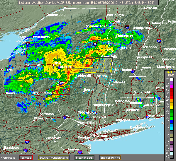
| 5/15/2020 6:09 PM EDT |
 The tornado warning for central delaware county will expire at 615 pm edt, the tornado threat has diminished and the tornado warning has been cancelled. however, damaging winds remain likely and a severe thunderstorm warning remains in effect for the area. a tornado watch remains in effect until 1000 pm edt for central new york. to report severe weather, contact your nearest law enforcement agency. they will relay your report to the national weather service binghamton. The tornado warning for central delaware county will expire at 615 pm edt, the tornado threat has diminished and the tornado warning has been cancelled. however, damaging winds remain likely and a severe thunderstorm warning remains in effect for the area. a tornado watch remains in effect until 1000 pm edt for central new york. to report severe weather, contact your nearest law enforcement agency. they will relay your report to the national weather service binghamton.
|
| 5/15/2020 6:07 PM EDT |
 At 607 pm edt, severe thunderstorms were located along a line extending from near stamford to near andes to fishs eddy, moving east at 55 mph (radar indicated). Hazards include 60 mph wind gusts. Expect damage to roofs, siding, and trees. Locations impacted include, rockland, roxbury, andes, stamford, hancock, margaretville, hobart, fleischmanns, hazel and harvard. At 607 pm edt, severe thunderstorms were located along a line extending from near stamford to near andes to fishs eddy, moving east at 55 mph (radar indicated). Hazards include 60 mph wind gusts. Expect damage to roofs, siding, and trees. Locations impacted include, rockland, roxbury, andes, stamford, hancock, margaretville, hobart, fleischmanns, hazel and harvard.
|
| 5/15/2020 6:03 PM EDT |
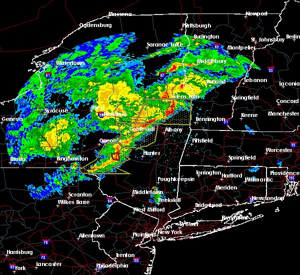
 At 603 pm edt, a severe thunderstorm capable of producing a tornado was located over andes, or 8 miles southeast of delhi, moving east at 50 mph (radar indicated rotation). Hazards include tornado. Flying debris will be dangerous to those caught without shelter. mobile homes will be damaged or destroyed. damage to roofs, windows, and vehicles will occur. tree damage is likely. This tornadic thunderstorm will remain over mainly rural areas of central delaware county. At 603 pm edt, a severe thunderstorm capable of producing a tornado was located over andes, or 8 miles southeast of delhi, moving east at 50 mph (radar indicated rotation). Hazards include tornado. Flying debris will be dangerous to those caught without shelter. mobile homes will be damaged or destroyed. damage to roofs, windows, and vehicles will occur. tree damage is likely. This tornadic thunderstorm will remain over mainly rural areas of central delaware county.
|
| 5/15/2020 5:52 PM EDT |
 At 552 pm edt, severe thunderstorms were located along a line extending from east meredith to near colchester to near hiawatha, moving east at 55 mph (radar indicated). Hazards include 60 mph wind gusts. expect damage to roofs, siding, and trees At 552 pm edt, severe thunderstorms were located along a line extending from east meredith to near colchester to near hiawatha, moving east at 55 mph (radar indicated). Hazards include 60 mph wind gusts. expect damage to roofs, siding, and trees
|
| 5/15/2020 5:49 PM EDT |
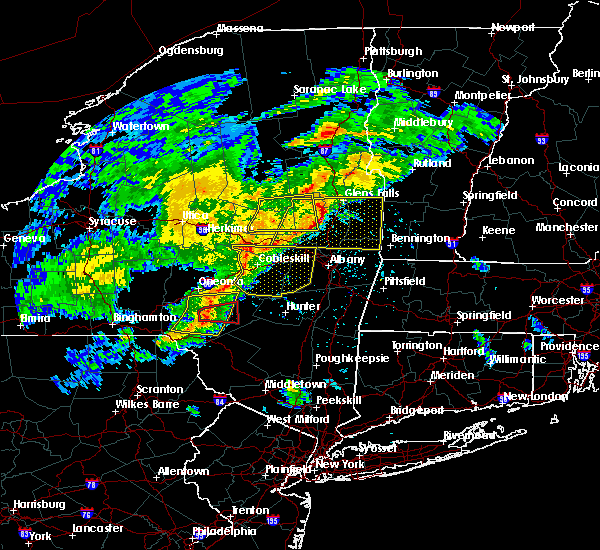
 At 549 pm edt, a severe thunderstorm capable of producing a tornado was located near delhi, moving east at 55 mph (radar indicated rotation). Hazards include tornado. Flying debris will be dangerous to those caught without shelter. mobile homes will be damaged or destroyed. damage to roofs, windows, and vehicles will occur. tree damage is likely. This dangerous storm will be near, andes and bovina center around 600 pm edt. At 549 pm edt, a severe thunderstorm capable of producing a tornado was located near delhi, moving east at 55 mph (radar indicated rotation). Hazards include tornado. Flying debris will be dangerous to those caught without shelter. mobile homes will be damaged or destroyed. damage to roofs, windows, and vehicles will occur. tree damage is likely. This dangerous storm will be near, andes and bovina center around 600 pm edt.
|
| 5/15/2020 5:43 PM EDT |
 At 543 pm edt, severe thunderstorms were located along a line extending from near franklin to near walton to 7 miles east of deposit, moving east at 50 mph (radar indicated). Hazards include 60 mph wind gusts. Expect damage to roofs, siding, and trees. Locations impacted include, walton, delhi, colchester, kortright, meredith, hamden, andes, franklin, meridale and harvard. At 543 pm edt, severe thunderstorms were located along a line extending from near franklin to near walton to 7 miles east of deposit, moving east at 50 mph (radar indicated). Hazards include 60 mph wind gusts. Expect damage to roofs, siding, and trees. Locations impacted include, walton, delhi, colchester, kortright, meredith, hamden, andes, franklin, meridale and harvard.
|
| 5/15/2020 5:38 PM EDT |
 At 538 pm edt, a severe thunderstorm capable of producing a tornado was located near walton, moving east at 50 mph (radar indicated rotation). Hazards include tornado. Flying debris will be dangerous to those caught without shelter. mobile homes will be damaged or destroyed. damage to roofs, windows, and vehicles will occur. tree damage is likely. this dangerous storm will be near, delhi around 555 pm edt. Andes and bovina center around 600 pm edt. At 538 pm edt, a severe thunderstorm capable of producing a tornado was located near walton, moving east at 50 mph (radar indicated rotation). Hazards include tornado. Flying debris will be dangerous to those caught without shelter. mobile homes will be damaged or destroyed. damage to roofs, windows, and vehicles will occur. tree damage is likely. this dangerous storm will be near, delhi around 555 pm edt. Andes and bovina center around 600 pm edt.
|
| 5/15/2020 5:32 PM EDT |
 At 531 pm edt, severe thunderstorms were located along a line extending from sidney center to 6 miles east of sanford to near deposit, moving east at 50 mph (radar indicated). Hazards include 60 mph wind gusts. Expect damage to roofs, siding, and trees. Locations impacted include, walton, delhi, colchester, kortright, deposit, meredith, hamden, masonville, andes and unadilla. At 531 pm edt, severe thunderstorms were located along a line extending from sidney center to 6 miles east of sanford to near deposit, moving east at 50 mph (radar indicated). Hazards include 60 mph wind gusts. Expect damage to roofs, siding, and trees. Locations impacted include, walton, delhi, colchester, kortright, deposit, meredith, hamden, masonville, andes and unadilla.
|
| 5/15/2020 5:17 PM EDT |
 At 516 pm edt, severe thunderstorms were located along a line extending from near bainbridge to near windsor to near kirkwood, moving east at 50 mph (radar indicated). Hazards include 60 mph wind gusts. expect damage to roofs, siding, and trees At 516 pm edt, severe thunderstorms were located along a line extending from near bainbridge to near windsor to near kirkwood, moving east at 50 mph (radar indicated). Hazards include 60 mph wind gusts. expect damage to roofs, siding, and trees
|
| 8/18/2019 5:57 PM EDT |
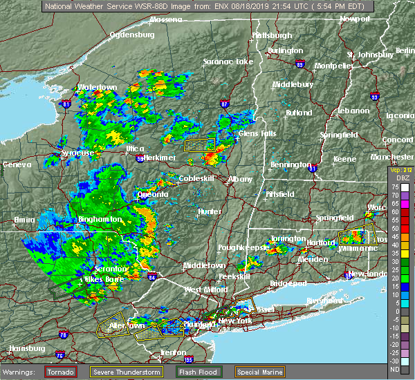 At 556 pm edt, severe thunderstorms were located along a line extending from near davenport to near liberty, moving east at 35 mph (emergency management). Hazards include 60 mph wind gusts. expect damage to roofs, siding, and trees At 556 pm edt, severe thunderstorms were located along a line extending from near davenport to near liberty, moving east at 35 mph (emergency management). Hazards include 60 mph wind gusts. expect damage to roofs, siding, and trees
|
| 8/18/2019 5:21 PM EDT |
 At 520 pm edt, a severe thunderstorm was located over east sidney, or 10 miles northwest of walton, moving east at 30 mph (radar indicated). Hazards include 60 mph wind gusts. Expect damage to roofs, siding, and trees. Locations impacted include, sidney, delhi, kortright, meredith, hamden, masonville, andes, unadilla, otego and franklin. At 520 pm edt, a severe thunderstorm was located over east sidney, or 10 miles northwest of walton, moving east at 30 mph (radar indicated). Hazards include 60 mph wind gusts. Expect damage to roofs, siding, and trees. Locations impacted include, sidney, delhi, kortright, meredith, hamden, masonville, andes, unadilla, otego and franklin.
|
| 8/18/2019 4:55 PM EDT |
 The national weather service in binghamton has issued a * severe thunderstorm warning for. southwestern otsego county in central new york. northwestern delaware county in central new york. southeastern chenango county in central new york. Until 600 pm edt. The national weather service in binghamton has issued a * severe thunderstorm warning for. southwestern otsego county in central new york. northwestern delaware county in central new york. southeastern chenango county in central new york. Until 600 pm edt.
|
| 8/8/2019 4:29 PM EDT | Trees down blocking road in delaware county NY, 5.1 miles S of Andes, NY |
| 8/8/2019 4:26 PM EDT |
 At 425 pm edt, severe thunderstorms were located along a line extending from near hobart to near east branch to near gibson to lovelton, moving east at 45 mph (radar indicated). Hazards include 60 mph wind gusts and penny size hail. expect damage to roofs, siding, and trees At 425 pm edt, severe thunderstorms were located along a line extending from near hobart to near east branch to near gibson to lovelton, moving east at 45 mph (radar indicated). Hazards include 60 mph wind gusts and penny size hail. expect damage to roofs, siding, and trees
|
| 7/30/2019 5:05 PM EDT |
 At 505 pm edt, a severe thunderstorm was located near colchester, or near walton, moving northeast at 30 mph (radar indicated). Hazards include 60 mph wind gusts and penny size hail. expect damage to roofs, siding, and trees At 505 pm edt, a severe thunderstorm was located near colchester, or near walton, moving northeast at 30 mph (radar indicated). Hazards include 60 mph wind gusts and penny size hail. expect damage to roofs, siding, and trees
|
| 7/19/2019 6:00 PM EDT |
 At 600 pm edt, a severe thunderstorm was located over hancock, or 8 miles southeast of deposit, moving east at 30 mph (radar indicated). Hazards include 60 mph wind gusts. Expect damage to roofs, siding, and trees. Locations impacted include, rockland, walton, colchester, hamden, andes, hancock, starrucca, hiawatha, shehawken and starlight. At 600 pm edt, a severe thunderstorm was located over hancock, or 8 miles southeast of deposit, moving east at 30 mph (radar indicated). Hazards include 60 mph wind gusts. Expect damage to roofs, siding, and trees. Locations impacted include, rockland, walton, colchester, hamden, andes, hancock, starrucca, hiawatha, shehawken and starlight.
|
| 7/19/2019 5:39 PM EDT |
 At 539 pm edt, a severe thunderstorm was located near sanford, or near deposit, moving east at 30 mph (radar indicated). Hazards include 60 mph wind gusts and nickel size hail. expect damage to roofs, siding, and trees At 539 pm edt, a severe thunderstorm was located near sanford, or near deposit, moving east at 30 mph (radar indicated). Hazards include 60 mph wind gusts and nickel size hail. expect damage to roofs, siding, and trees
|
| 6/26/2019 6:10 PM EDT |
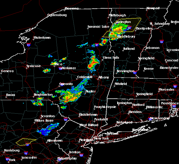 The severe thunderstorm warning for central delaware county will expire at 615 pm edt, the storms which prompted the warning have weakened below severe limits and have exited the warned area. therefore, the warning will be allowed to expire. however gusty winds and heavy rain are still possible with these thunderstorms. The severe thunderstorm warning for central delaware county will expire at 615 pm edt, the storms which prompted the warning have weakened below severe limits and have exited the warned area. therefore, the warning will be allowed to expire. however gusty winds and heavy rain are still possible with these thunderstorms.
|
| 6/26/2019 5:55 PM EDT |
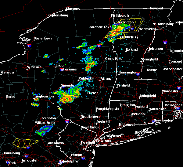 At 555 pm edt, severe thunderstorms were located along a line extending from near andes to near corbett, moving east at 30 mph (radar indicated). Hazards include 60 mph wind gusts. Expect damage to roofs, siding, and trees. Locations impacted include, andes, margaretville, fleischmanns, arkville, downsville, corbett, dunraven, big pond campsite, russell brook campsite and wolf hollow. At 555 pm edt, severe thunderstorms were located along a line extending from near andes to near corbett, moving east at 30 mph (radar indicated). Hazards include 60 mph wind gusts. Expect damage to roofs, siding, and trees. Locations impacted include, andes, margaretville, fleischmanns, arkville, downsville, corbett, dunraven, big pond campsite, russell brook campsite and wolf hollow.
|
| 6/26/2019 5:47 PM EDT |
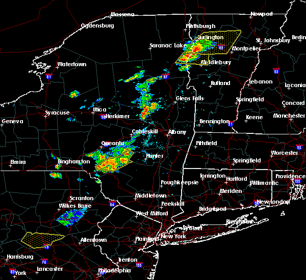 At 546 pm edt, severe thunderstorms were located along a line extending from near roxbury to near andes to near harvard, moving east at 30 mph (radar indicated). Hazards include 60 mph wind gusts. Expect damage to roofs, siding, and trees. Locations impacted include, roxbury, andes, margaretville, fleischmanns, arkville, harvard, downsville, corbett, dunraven and russell brook campsite. At 546 pm edt, severe thunderstorms were located along a line extending from near roxbury to near andes to near harvard, moving east at 30 mph (radar indicated). Hazards include 60 mph wind gusts. Expect damage to roofs, siding, and trees. Locations impacted include, roxbury, andes, margaretville, fleischmanns, arkville, harvard, downsville, corbett, dunraven and russell brook campsite.
|
| 6/26/2019 5:33 PM EDT |
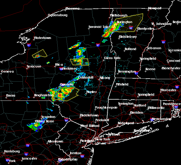 At 532 pm edt, severe thunderstorms were located along a line extending from hobart to near colchester to near harvard, moving east at 25 mph (radar indicated). Hazards include 60 mph wind gusts and penny size hail. Expect damage to roofs, siding, and trees. Locations impacted include, walton, delhi, roxbury, colchester, hamden, andes, stamford, margaretville, hobart and fleischmanns. At 532 pm edt, severe thunderstorms were located along a line extending from hobart to near colchester to near harvard, moving east at 25 mph (radar indicated). Hazards include 60 mph wind gusts and penny size hail. Expect damage to roofs, siding, and trees. Locations impacted include, walton, delhi, roxbury, colchester, hamden, andes, stamford, margaretville, hobart and fleischmanns.
|
| 6/26/2019 5:09 PM EDT |
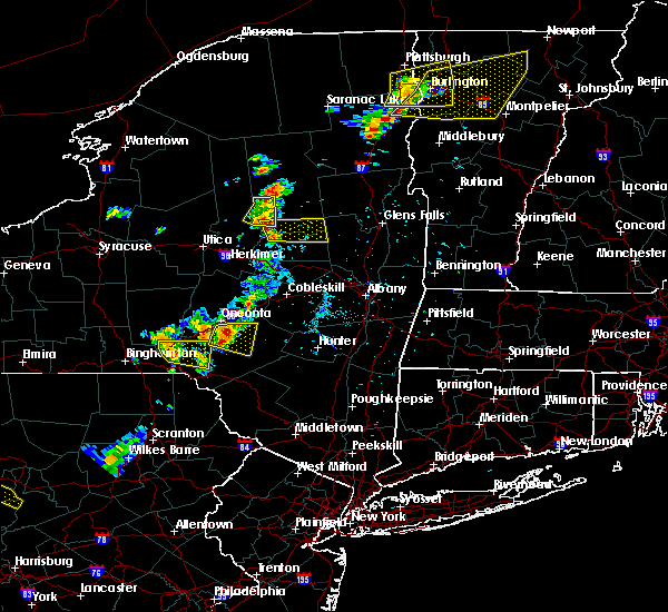 At 508 pm edt, severe thunderstorms were located along a line extending from meridale to near walton, moving east at 30 mph (law enforcement. at 440 pm, downed trees and wires were reported from these thunderstorms near sidney center and in unadilla). Hazards include 60 mph wind gusts and penny size hail. expect damage to roofs, siding, and trees At 508 pm edt, severe thunderstorms were located along a line extending from meridale to near walton, moving east at 30 mph (law enforcement. at 440 pm, downed trees and wires were reported from these thunderstorms near sidney center and in unadilla). Hazards include 60 mph wind gusts and penny size hail. expect damage to roofs, siding, and trees
|
| 6/26/2019 5:04 PM EDT |
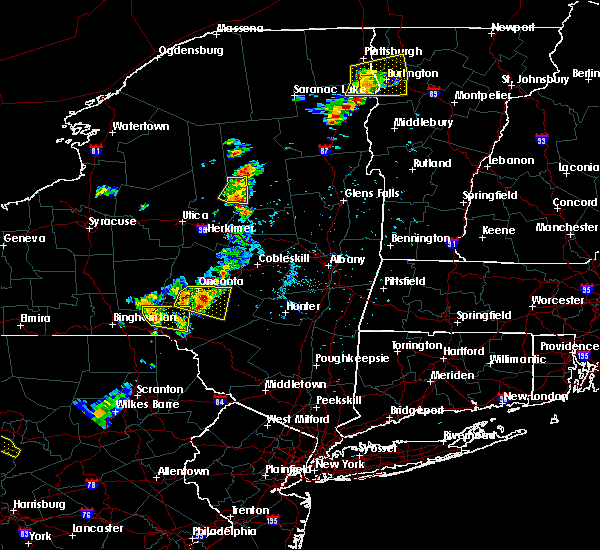 At 447 pm edt, a severe thunderstorm was located over franklin, or 8 miles southwest of oneonta, moving east at 30 mph (radar indicated). Hazards include 60 mph wind gusts and penny size hail. Expect damage to roofs, siding, and trees. Locations impacted include, oneonta, delhi, davenport, kortright, meredith, otego, franklin, west end, sidney center and east sidney. At 447 pm edt, a severe thunderstorm was located over franklin, or 8 miles southwest of oneonta, moving east at 30 mph (radar indicated). Hazards include 60 mph wind gusts and penny size hail. Expect damage to roofs, siding, and trees. Locations impacted include, oneonta, delhi, davenport, kortright, meredith, otego, franklin, west end, sidney center and east sidney.
|
| 4/15/2019 3:00 AM EDT | Wires down in delaware county NY, 0.2 miles SW of Andes, NY |
| 4/15/2019 2:54 AM EDT |
 The severe thunderstorm warning for central delaware and northern sullivan counties will expire at 300 am edt, the storms which prompted the warning have weakened below severe limits. therefore, the warning will be allowed to expire. however gusty winds and heavy rain are still possible with these thunderstorms. a tornado watch remains in effect until 500 am edt for central new york, and northeastern pennsylvania. to report severe weather, contact your nearest law enforcement agency. they will relay your report to the national weather service binghamton. The severe thunderstorm warning for central delaware and northern sullivan counties will expire at 300 am edt, the storms which prompted the warning have weakened below severe limits. therefore, the warning will be allowed to expire. however gusty winds and heavy rain are still possible with these thunderstorms. a tornado watch remains in effect until 500 am edt for central new york, and northeastern pennsylvania. to report severe weather, contact your nearest law enforcement agency. they will relay your report to the national weather service binghamton.
|
| 4/15/2019 2:34 AM EDT |
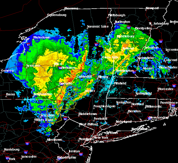 At 233 am edt, severe thunderstorms were located along a line extending from near east meredith to 6 miles west of andes to downsville to near hankins to near fosterdale, moving east at 40 mph (radar indicated). Hazards include 60 mph wind gusts. Expect damage to roofs, siding, and trees. Locations impacted include, rockland, fallsburg, liberty, bethel, neversink, south fallsburg, delhi, callicoon, roxbury and kortright. At 233 am edt, severe thunderstorms were located along a line extending from near east meredith to 6 miles west of andes to downsville to near hankins to near fosterdale, moving east at 40 mph (radar indicated). Hazards include 60 mph wind gusts. Expect damage to roofs, siding, and trees. Locations impacted include, rockland, fallsburg, liberty, bethel, neversink, south fallsburg, delhi, callicoon, roxbury and kortright.
|
| 4/15/2019 2:17 AM EDT |
 At 216 am edt, severe thunderstorms were located along a line extending from near franklin to starlight to near pleasant mount, moving east at 50 mph (radar indicated). Hazards include 60 mph wind gusts. Expect damage to roofs, siding, and trees. Locations impacted include, rockland, fallsburg, liberty, bethel, damascus, neversink, south fallsburg, walton, delhi and callicoon. At 216 am edt, severe thunderstorms were located along a line extending from near franklin to starlight to near pleasant mount, moving east at 50 mph (radar indicated). Hazards include 60 mph wind gusts. Expect damage to roofs, siding, and trees. Locations impacted include, rockland, fallsburg, liberty, bethel, damascus, neversink, south fallsburg, walton, delhi and callicoon.
|
| 4/15/2019 1:59 AM EDT |
 At 158 am edt, severe thunderstorms were located along a line extending from 7 miles east of afton to near gibson to royal, moving east at 45 mph (radar indicated). Hazards include 60 mph wind gusts. expect damage to roofs, siding, and trees At 158 am edt, severe thunderstorms were located along a line extending from 7 miles east of afton to near gibson to royal, moving east at 45 mph (radar indicated). Hazards include 60 mph wind gusts. expect damage to roofs, siding, and trees
|
| 8/29/2018 10:56 PM EDT |
 At 1055 pm edt, severe thunderstorms were located along a line extending from bainbridge to 6 miles north of deposit to near sanford, moving east at 40 mph (radar indicated). Hazards include 60 mph wind gusts. Expect damage to roofs, siding, and trees. these severe storms will be near, sidney and rockdale around 1105 pm edt. unadilla around 1110 pm edt. hancock, east sidney and sidney center around 1115 pm edt. walton and otego around 1120 pm edt. colchester, franklin and east branch around 1125 pm edt. Delhi, meredith and harvard around 1130 pm edt. At 1055 pm edt, severe thunderstorms were located along a line extending from bainbridge to 6 miles north of deposit to near sanford, moving east at 40 mph (radar indicated). Hazards include 60 mph wind gusts. Expect damage to roofs, siding, and trees. these severe storms will be near, sidney and rockdale around 1105 pm edt. unadilla around 1110 pm edt. hancock, east sidney and sidney center around 1115 pm edt. walton and otego around 1120 pm edt. colchester, franklin and east branch around 1125 pm edt. Delhi, meredith and harvard around 1130 pm edt.
|
| 8/29/2018 10:31 PM EDT |
 At 1030 pm edt, severe thunderstorms were located along a line extending from near coventry to near harpursville to near kirkwood, moving east at 40 mph (radar indicated). Hazards include 60 mph wind gusts. Expect damage to roofs, siding, and trees. severe thunderstorms will be near, coventry, harpursville and nineveh around 1035 pm edt. sanford around 1040 pm edt. afton around 1045 pm edt. guilford and bainbridge around 1050 pm edt. deposit, sidney and rockdale around 1055 pm edt. unadilla, hancock and sidney center around 1105 pm edt. walton and east sidney around 1110 pm edt. Colchester, otego and franklin around 1115 pm edt. At 1030 pm edt, severe thunderstorms were located along a line extending from near coventry to near harpursville to near kirkwood, moving east at 40 mph (radar indicated). Hazards include 60 mph wind gusts. Expect damage to roofs, siding, and trees. severe thunderstorms will be near, coventry, harpursville and nineveh around 1035 pm edt. sanford around 1040 pm edt. afton around 1045 pm edt. guilford and bainbridge around 1050 pm edt. deposit, sidney and rockdale around 1055 pm edt. unadilla, hancock and sidney center around 1105 pm edt. walton and east sidney around 1110 pm edt. Colchester, otego and franklin around 1115 pm edt.
|
| 8/3/2018 11:48 AM EDT |
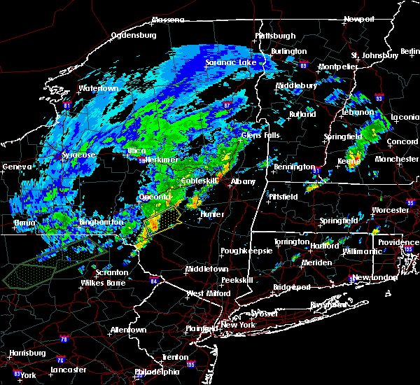 At 1147 am edt, a severe thunderstorm was located near andes, or 12 miles south of delhi, moving northeast at 30 mph (radar indicated). Hazards include 60 mph wind gusts. Expect damage to roofs, siding, and trees. Locations impacted include, roxbury, andes, margaretville, fleischmanns, arkville, bovina center, dunraven, wolf hollow, halcottsville and new kingston. At 1147 am edt, a severe thunderstorm was located near andes, or 12 miles south of delhi, moving northeast at 30 mph (radar indicated). Hazards include 60 mph wind gusts. Expect damage to roofs, siding, and trees. Locations impacted include, roxbury, andes, margaretville, fleischmanns, arkville, bovina center, dunraven, wolf hollow, halcottsville and new kingston.
|
| 8/3/2018 11:35 AM EDT |
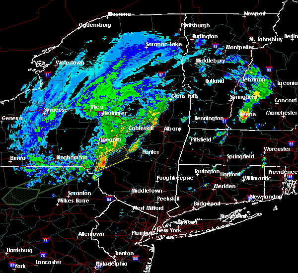 At 1134 am edt, a severe thunderstorm was located near downsville, or 12 miles southeast of walton, moving northeast at 25 mph (radar indicated). Hazards include 60 mph wind gusts. Expect damage to roofs, siding, and trees. Locations impacted include, roxbury, andes, margaretville, fleischmanns, arkville, bovina center, downsville, corbett, dunraven and russell brook campsite. At 1134 am edt, a severe thunderstorm was located near downsville, or 12 miles southeast of walton, moving northeast at 25 mph (radar indicated). Hazards include 60 mph wind gusts. Expect damage to roofs, siding, and trees. Locations impacted include, roxbury, andes, margaretville, fleischmanns, arkville, bovina center, downsville, corbett, dunraven and russell brook campsite.
|
| 8/3/2018 11:18 AM EDT |
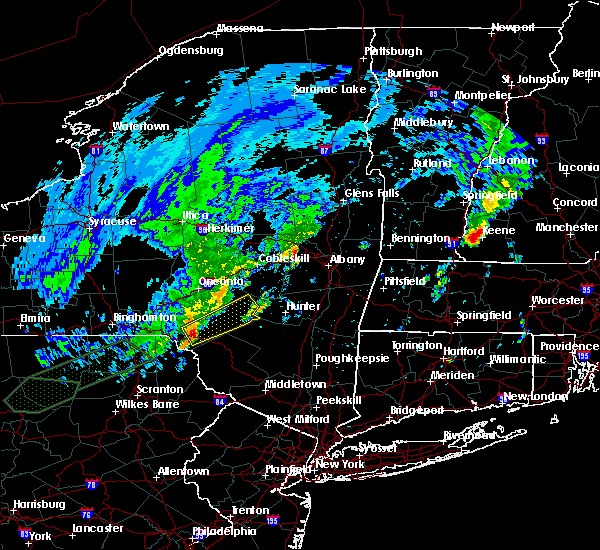 At 1118 am edt, a severe thunderstorm was located over harvard, or 10 miles south of walton, moving northeast at 30 mph (radar indicated). Hazards include 60 mph wind gusts. expect damage to roofs, siding, and trees At 1118 am edt, a severe thunderstorm was located over harvard, or 10 miles south of walton, moving northeast at 30 mph (radar indicated). Hazards include 60 mph wind gusts. expect damage to roofs, siding, and trees
|
| 6/13/2018 9:58 PM EDT |
 At 958 pm edt, severe thunderstorms were located along a line extending from 7 miles west of athens to white sulphur springs, moving east at 65 mph (radar indicated). Hazards include 60 mph wind gusts. Expect damage to roofs, siding, and trees. These severe thunderstorms will remain over mainly rural areas of central delaware and northern sullivan counties. At 958 pm edt, severe thunderstorms were located along a line extending from 7 miles west of athens to white sulphur springs, moving east at 65 mph (radar indicated). Hazards include 60 mph wind gusts. Expect damage to roofs, siding, and trees. These severe thunderstorms will remain over mainly rural areas of central delaware and northern sullivan counties.
|
| 6/13/2018 9:10 PM EDT |
 At 909 pm edt, severe thunderstorms were located along a line extending from near maryland to conklin, moving east at 65 mph (radar indicated). Hazards include 60 mph wind gusts. Expect damage to roofs, siding, and trees. severe thunderstorms will be near, davenport, worcester and maryland around 915 pm edt. deposit and stamford around 925 pm edt. hancock around 935 pm edt. fishs eddy and east branch around 940 pm edt. hazel and livingston manor around 955 pm edt. parksville around 1000 pm edt. Liberty around 1005 pm edt. At 909 pm edt, severe thunderstorms were located along a line extending from near maryland to conklin, moving east at 65 mph (radar indicated). Hazards include 60 mph wind gusts. Expect damage to roofs, siding, and trees. severe thunderstorms will be near, davenport, worcester and maryland around 915 pm edt. deposit and stamford around 925 pm edt. hancock around 935 pm edt. fishs eddy and east branch around 940 pm edt. hazel and livingston manor around 955 pm edt. parksville around 1000 pm edt. Liberty around 1005 pm edt.
|
| 5/4/2018 7:59 PM EDT |
 At 759 pm edt, severe thunderstorms were located along a line extending from near cobleskill to near summit to near east meredith to gibson, moving southeast at 40 mph (radar indicated). Hazards include 60 mph wind gusts. Expect damage to trees, and power lines. severe thunderstorms will be near, delhi around 805 pm edt. stamford and bovina center around 810 pm edt. forest city and hobart around 815 pm edt. roxbury and waymart around 825 pm edt. fleischmanns, prompton and bethany around 830 pm edt. honesdale and rutledgedale around 835 pm edt. damascus around 840 pm edt. Cochecton and narrowsburg around 845 pm edt. At 759 pm edt, severe thunderstorms were located along a line extending from near cobleskill to near summit to near east meredith to gibson, moving southeast at 40 mph (radar indicated). Hazards include 60 mph wind gusts. Expect damage to trees, and power lines. severe thunderstorms will be near, delhi around 805 pm edt. stamford and bovina center around 810 pm edt. forest city and hobart around 815 pm edt. roxbury and waymart around 825 pm edt. fleischmanns, prompton and bethany around 830 pm edt. honesdale and rutledgedale around 835 pm edt. damascus around 840 pm edt. Cochecton and narrowsburg around 845 pm edt.
|
| 5/4/2018 7:32 PM EDT |
 At 731 pm edt, severe thunderstorms were located along a line extending from near springfield to near bowerstown to near west end to near montrose, moving east at 45 mph (radar indicated). Hazards include 70 mph wind gusts. Expect considerable tree damage. damage is likely to mobile homes, roofs, and outbuildings. these severe storms will be near, cooperstown, otego and cherry valley around 735 pm edt. oneonta, middlefield and maryland around 740 pm edt. worcester, colliersville and cooperstown junction around 745 pm edt. davenport, susquehanna and susquehanna depot around 750 pm edt. gibson around 755 pm edt. Stamford, hobart and thompson around 800 pm edt. At 731 pm edt, severe thunderstorms were located along a line extending from near springfield to near bowerstown to near west end to near montrose, moving east at 45 mph (radar indicated). Hazards include 70 mph wind gusts. Expect considerable tree damage. damage is likely to mobile homes, roofs, and outbuildings. these severe storms will be near, cooperstown, otego and cherry valley around 735 pm edt. oneonta, middlefield and maryland around 740 pm edt. worcester, colliersville and cooperstown junction around 745 pm edt. davenport, susquehanna and susquehanna depot around 750 pm edt. gibson around 755 pm edt. Stamford, hobart and thompson around 800 pm edt.
|
| 5/4/2018 7:06 PM EDT |
 At 703 pm edt, severe thunderstorms were located along a line extending from bridgewater to columbus to near oxford to near apalachin, moving southeast at 40 mph (radar indicated). Hazards include 70 mph wind gusts. Expect considerable tree damage. damage is likely to mobile homes, roofs, and outbuildings. severe thunderstorms will be near, norwich, oxford and new berlin around 710 pm edt. guilford, edmeston and pittsfield around 715 pm edt. richfield springs, morris and exeter center around 720 pm edt. sidney, gilbertsville and brackney around 725 pm edt. cooperstown, conklin and hartwick around 730 pm edt. oneonta, kirkwood and otego around 735 pm edt. middlefield, hallstead and great bend around 740 pm edt. maryland, new milford and elk creek around 745 pm edt. A severe thunderstorm watch remains in effect until 900 pm edt for central new york. At 703 pm edt, severe thunderstorms were located along a line extending from bridgewater to columbus to near oxford to near apalachin, moving southeast at 40 mph (radar indicated). Hazards include 70 mph wind gusts. Expect considerable tree damage. damage is likely to mobile homes, roofs, and outbuildings. severe thunderstorms will be near, norwich, oxford and new berlin around 710 pm edt. guilford, edmeston and pittsfield around 715 pm edt. richfield springs, morris and exeter center around 720 pm edt. sidney, gilbertsville and brackney around 725 pm edt. cooperstown, conklin and hartwick around 730 pm edt. oneonta, kirkwood and otego around 735 pm edt. middlefield, hallstead and great bend around 740 pm edt. maryland, new milford and elk creek around 745 pm edt. A severe thunderstorm watch remains in effect until 900 pm edt for central new york.
|
| 7/17/2017 6:00 PM EDT |
 At 559 pm edt, a severe thunderstorm was located near andes, or near delhi, moving east at 30 mph (radar indicated). Hazards include 60 mph wind gusts. Expect damage to trees, and power lines. this severe storm will be near, andes around 605 pm edt. bovina center around 610 pm edt. margaretville around 615 pm edt. hobart around 625 pm edt. Roxbury around 630 pm edt. At 559 pm edt, a severe thunderstorm was located near andes, or near delhi, moving east at 30 mph (radar indicated). Hazards include 60 mph wind gusts. Expect damage to trees, and power lines. this severe storm will be near, andes around 605 pm edt. bovina center around 610 pm edt. margaretville around 615 pm edt. hobart around 625 pm edt. Roxbury around 630 pm edt.
|
| 7/17/2017 5:43 PM EDT |
 At 543 pm edt, a severe thunderstorm was located near colchester, or 7 miles east of walton, moving east at 30 mph (radar indicated). Hazards include 60 mph wind gusts. Expect damage to trees, and power lines. this severe thunderstorm will be near, delhi around 555 pm edt. andes and bovina center around 605 pm edt. margaretville around 615 pm edt. arkville around 620 pm edt. fleischmanns around 625 pm edt. Roxbury around 630 pm edt. At 543 pm edt, a severe thunderstorm was located near colchester, or 7 miles east of walton, moving east at 30 mph (radar indicated). Hazards include 60 mph wind gusts. Expect damage to trees, and power lines. this severe thunderstorm will be near, delhi around 555 pm edt. andes and bovina center around 605 pm edt. margaretville around 615 pm edt. arkville around 620 pm edt. fleischmanns around 625 pm edt. Roxbury around 630 pm edt.
|
| 6/30/2017 6:30 PM EDT |
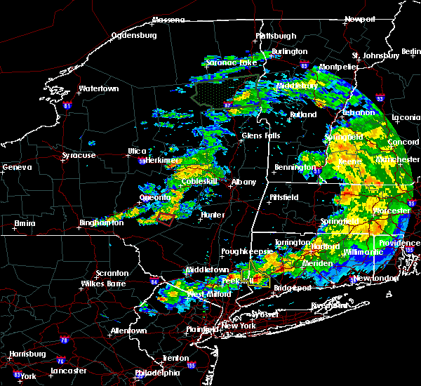 At 630 pm edt, a severe thunderstorm capable of producing a tornado was located near bovina center, or 11 miles east of delhi, moving east at 25 mph (radar indicated rotation). Hazards include tornado and quarter size hail. Flying debris will be dangerous to those caught without shelter. mobile homes could be damaged or destroyed. tree damage is likely. This dangerous storm will be near, margaretville around 640 pm edt. At 630 pm edt, a severe thunderstorm capable of producing a tornado was located near bovina center, or 11 miles east of delhi, moving east at 25 mph (radar indicated rotation). Hazards include tornado and quarter size hail. Flying debris will be dangerous to those caught without shelter. mobile homes could be damaged or destroyed. tree damage is likely. This dangerous storm will be near, margaretville around 640 pm edt.
|
| 6/30/2017 6:05 PM EDT |
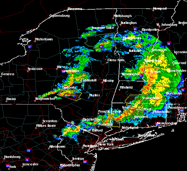 At 605 pm edt, a severe thunderstorm capable of producing a tornado was located over delhi, moving east at 30 mph (radar indicated rotation). Hazards include tornado and quarter size hail. Flying debris will be dangerous to those caught without shelter. mobile homes could be damaged or destroyed. tree damage is likely. this dangerous storm will be near, bovina center around 615 pm edt. andes around 620 pm edt. Margaretville around 635 pm edt. At 605 pm edt, a severe thunderstorm capable of producing a tornado was located over delhi, moving east at 30 mph (radar indicated rotation). Hazards include tornado and quarter size hail. Flying debris will be dangerous to those caught without shelter. mobile homes could be damaged or destroyed. tree damage is likely. this dangerous storm will be near, bovina center around 615 pm edt. andes around 620 pm edt. Margaretville around 635 pm edt.
|
| 6/30/2017 5:54 PM EDT |
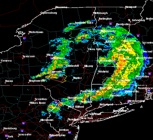 At 553 pm edt, a severe thunderstorm capable of producing a tornado was located near meredith, or near delhi, moving east at 25 mph (radar indicated rotation). Hazards include tornado and quarter size hail. Flying debris will be dangerous to those caught without shelter. mobile homes could be damaged or destroyed. tree damage is likely. this dangerous storm will be near, delhi around 605 pm edt. bovina center around 620 pm edt. andes around 625 pm edt. margaretville around 635 pm edt. Roxbury around 645 pm edt. At 553 pm edt, a severe thunderstorm capable of producing a tornado was located near meredith, or near delhi, moving east at 25 mph (radar indicated rotation). Hazards include tornado and quarter size hail. Flying debris will be dangerous to those caught without shelter. mobile homes could be damaged or destroyed. tree damage is likely. this dangerous storm will be near, delhi around 605 pm edt. bovina center around 620 pm edt. andes around 625 pm edt. margaretville around 635 pm edt. Roxbury around 645 pm edt.
|
| 6/30/2017 5:43 PM EDT |
 At 543 pm edt, a severe thunderstorm was located over meredith, or near delhi, moving east at 35 mph (radar indicated). Hazards include 60 mph wind gusts. Expect damage to trees, and power lines. this severe thunderstorm will be near, east meredith around 550 pm edt. bovina center around 600 pm edt. andes around 605 pm edt. hobart around 610 pm edt. Roxbury around 620 pm edt. At 543 pm edt, a severe thunderstorm was located over meredith, or near delhi, moving east at 35 mph (radar indicated). Hazards include 60 mph wind gusts. Expect damage to trees, and power lines. this severe thunderstorm will be near, east meredith around 550 pm edt. bovina center around 600 pm edt. andes around 605 pm edt. hobart around 610 pm edt. Roxbury around 620 pm edt.
|
| 5/1/2017 8:39 PM EDT |
 At 839 pm edt, severe thunderstorms were located along a line extending from near little falls to walton, moving east at 60 mph (radar indicated). Hazards include 70 mph wind gusts. Expect considerable tree damage. damage is likely to mobile homes, roofs, and outbuildings. severe thunderstorms will be near, andes and bovina center around 855 pm edt. margaretville and arkville around 905 pm edt. Fleischmanns around 910 pm edt. At 839 pm edt, severe thunderstorms were located along a line extending from near little falls to walton, moving east at 60 mph (radar indicated). Hazards include 70 mph wind gusts. Expect considerable tree damage. damage is likely to mobile homes, roofs, and outbuildings. severe thunderstorms will be near, andes and bovina center around 855 pm edt. margaretville and arkville around 905 pm edt. Fleischmanns around 910 pm edt.
|
| 4/16/2017 5:33 PM EDT |
 At 533 pm edt, severe thunderstorms were located along a line extending from near stamford to near andes to fishs eddy, moving east at 50 mph (radar indicated). Hazards include 60 mph wind gusts. Expect damage to trees. these severe storms will be near, margaretville and arkville around 545 pm edt. Fleischmanns around 550 pm edt. At 533 pm edt, severe thunderstorms were located along a line extending from near stamford to near andes to fishs eddy, moving east at 50 mph (radar indicated). Hazards include 60 mph wind gusts. Expect damage to trees. these severe storms will be near, margaretville and arkville around 545 pm edt. Fleischmanns around 550 pm edt.
|
| 4/16/2017 5:14 PM EDT |
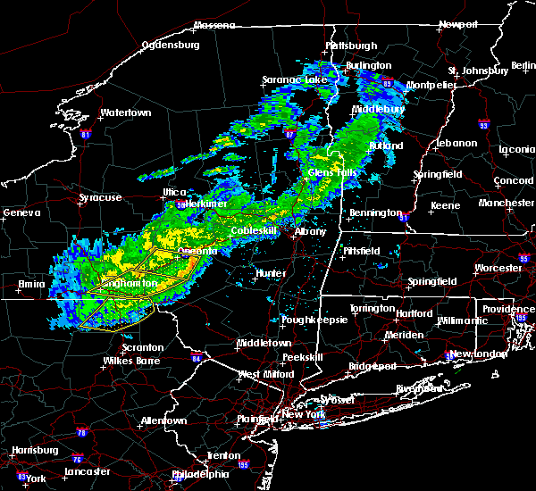 At 514 pm edt, severe thunderstorms were located along a line extending from near schenevus to colchester to near sherman, moving east at 45 mph (radar indicated). Hazards include 60 mph wind gusts. Expect damage to trees. severe thunderstorms will be near, downsville around 520 pm edt. stamford around 525 pm edt. andes, fishs eddy and east branch around 535 pm edt. margaretville around 540 pm edt. arkville around 545 pm edt. Fleischmanns and roscoe around 550 pm edt. At 514 pm edt, severe thunderstorms were located along a line extending from near schenevus to colchester to near sherman, moving east at 45 mph (radar indicated). Hazards include 60 mph wind gusts. Expect damage to trees. severe thunderstorms will be near, downsville around 520 pm edt. stamford around 525 pm edt. andes, fishs eddy and east branch around 535 pm edt. margaretville around 540 pm edt. arkville around 545 pm edt. Fleischmanns and roscoe around 550 pm edt.
|
| 2/25/2017 4:35 PM EST |
 At 435 pm est, severe thunderstorms were located along a line extending from jefferson to near downsville to near rutledgedale, moving east at 15 mph (radar indicated). Hazards include 60 mph wind gusts. Expect damage to roofs, siding, and trees. severe thunderstorms will be near, stamford and hobart around 440 pm est. fosterdale around 515 pm est. Bethel, margaretville and arkville around 530 pm est. At 435 pm est, severe thunderstorms were located along a line extending from jefferson to near downsville to near rutledgedale, moving east at 15 mph (radar indicated). Hazards include 60 mph wind gusts. Expect damage to roofs, siding, and trees. severe thunderstorms will be near, stamford and hobart around 440 pm est. fosterdale around 515 pm est. Bethel, margaretville and arkville around 530 pm est.
|
| 2/25/2017 4:35 PM EST |
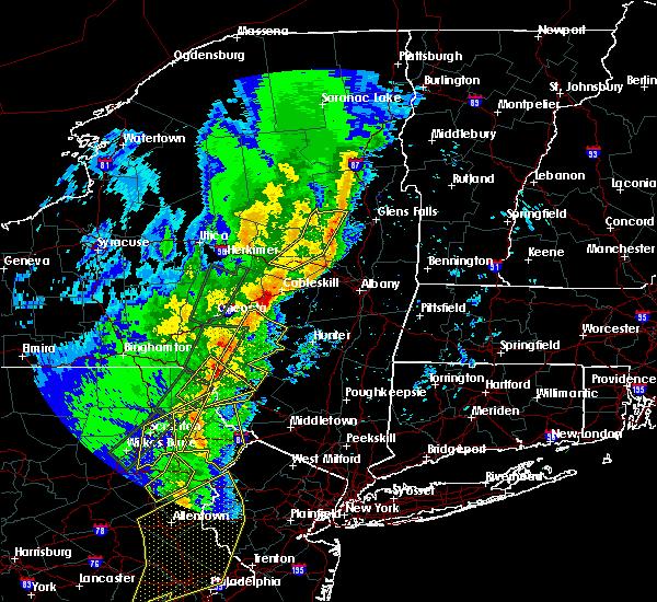 At 435 pm est, severe thunderstorms were located along a line extending from jefferson to near downsville to near rutledgedale, moving east at 15 mph (radar indicated). Hazards include 60 mph wind gusts. Expect damage to roofs, siding, and trees. severe thunderstorms will be near, stamford and hobart around 440 pm est. fosterdale around 515 pm est. Bethel, margaretville and arkville around 530 pm est. At 435 pm est, severe thunderstorms were located along a line extending from jefferson to near downsville to near rutledgedale, moving east at 15 mph (radar indicated). Hazards include 60 mph wind gusts. Expect damage to roofs, siding, and trees. severe thunderstorms will be near, stamford and hobart around 440 pm est. fosterdale around 515 pm est. Bethel, margaretville and arkville around 530 pm est.
|
| 7/25/2016 12:29 PM EDT |
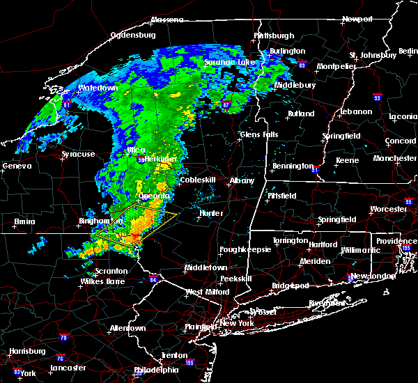 At 1228 pm edt, a severe thunderstorm was located near east branch, or 15 miles south of walton, moving east at 40 mph (radar indicated). Hazards include 60 mph wind gusts. Expect damage to roofs. siding. and trees. this severe thunderstorm will be near, roscoe around 1240 pm edt. jeffersonville, hazel and livingston manor around 1245 pm edt. white sulphur springs around 1250 pm edt. parksville and swan lake around 1255 pm edt. liberty and willowemoc around 100 pm edt. neversink, south fallsburg and loch sheldrake around 105 pm edt. Fallsburg, woodridge and grahamsville around 110 pm edt. At 1228 pm edt, a severe thunderstorm was located near east branch, or 15 miles south of walton, moving east at 40 mph (radar indicated). Hazards include 60 mph wind gusts. Expect damage to roofs. siding. and trees. this severe thunderstorm will be near, roscoe around 1240 pm edt. jeffersonville, hazel and livingston manor around 1245 pm edt. white sulphur springs around 1250 pm edt. parksville and swan lake around 1255 pm edt. liberty and willowemoc around 100 pm edt. neversink, south fallsburg and loch sheldrake around 105 pm edt. Fallsburg, woodridge and grahamsville around 110 pm edt.
|
| 7/25/2016 11:52 AM EDT |
 At 1151 am edt, a severe thunderstorm was located over deposit, moving east at 50 mph (radar indicated). Hazards include 60 mph wind gusts. Expect damage to roofs. siding. and trees. this severe thunderstorm will be near, hancock around 1200 pm edt. harvard, east branch and fishs eddy around 1210 pm edt. corbett around 1215 pm edt. Downsville around 1220 pm edt. At 1151 am edt, a severe thunderstorm was located over deposit, moving east at 50 mph (radar indicated). Hazards include 60 mph wind gusts. Expect damage to roofs. siding. and trees. this severe thunderstorm will be near, hancock around 1200 pm edt. harvard, east branch and fishs eddy around 1210 pm edt. corbett around 1215 pm edt. Downsville around 1220 pm edt.
|
| 6/12/2015 8:41 PM EDT |
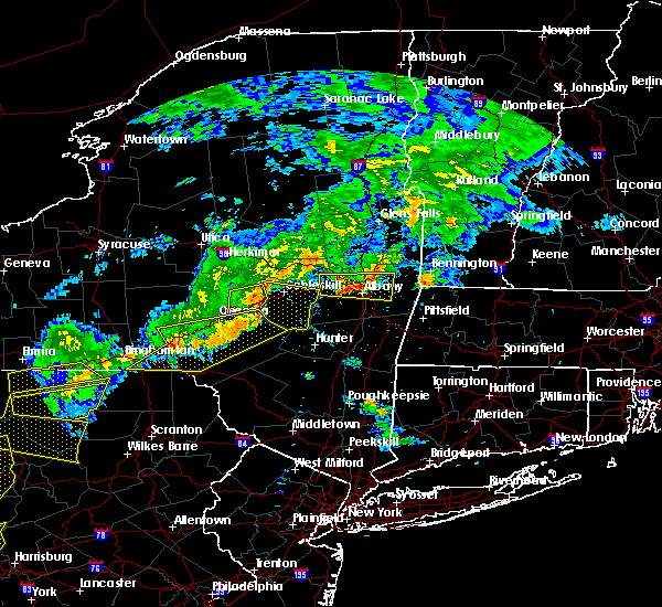 At 841 pm edt, severe thunderstorms were located along a line extending from stamford to near colchester, moving southeast at 45 mph (radar indicated). Hazards include 60 mph wind gusts. Expect damage to roofs. siding and trees. severe thunderstorms will be near, stamford and hobart around 845 pm edt. Roxbury and andes around 850 pm edt. At 841 pm edt, severe thunderstorms were located along a line extending from stamford to near colchester, moving southeast at 45 mph (radar indicated). Hazards include 60 mph wind gusts. Expect damage to roofs. siding and trees. severe thunderstorms will be near, stamford and hobart around 845 pm edt. Roxbury and andes around 850 pm edt.
|
| 6/12/2015 7:57 PM EDT |
 At 757 pm edt, severe thunderstorms were located along a line extending from near laurens to near bainbridge, moving southeast at 55 mph (radar indicated). Hazards include 60 mph wind gusts. Expect damage to roofs. siding and trees. severe thunderstorms will be near, oneonta, emmons and west end around 805 pm edt. davenport, east sidney and east meredith around 810 pm edt. walton around 820 pm edt. Colchester, stamford and hobart around 825 pm edt. At 757 pm edt, severe thunderstorms were located along a line extending from near laurens to near bainbridge, moving southeast at 55 mph (radar indicated). Hazards include 60 mph wind gusts. Expect damage to roofs. siding and trees. severe thunderstorms will be near, oneonta, emmons and west end around 805 pm edt. davenport, east sidney and east meredith around 810 pm edt. walton around 820 pm edt. Colchester, stamford and hobart around 825 pm edt.
|
Hail Maps for Andes, NY


Connect with Interactive Hail Maps