

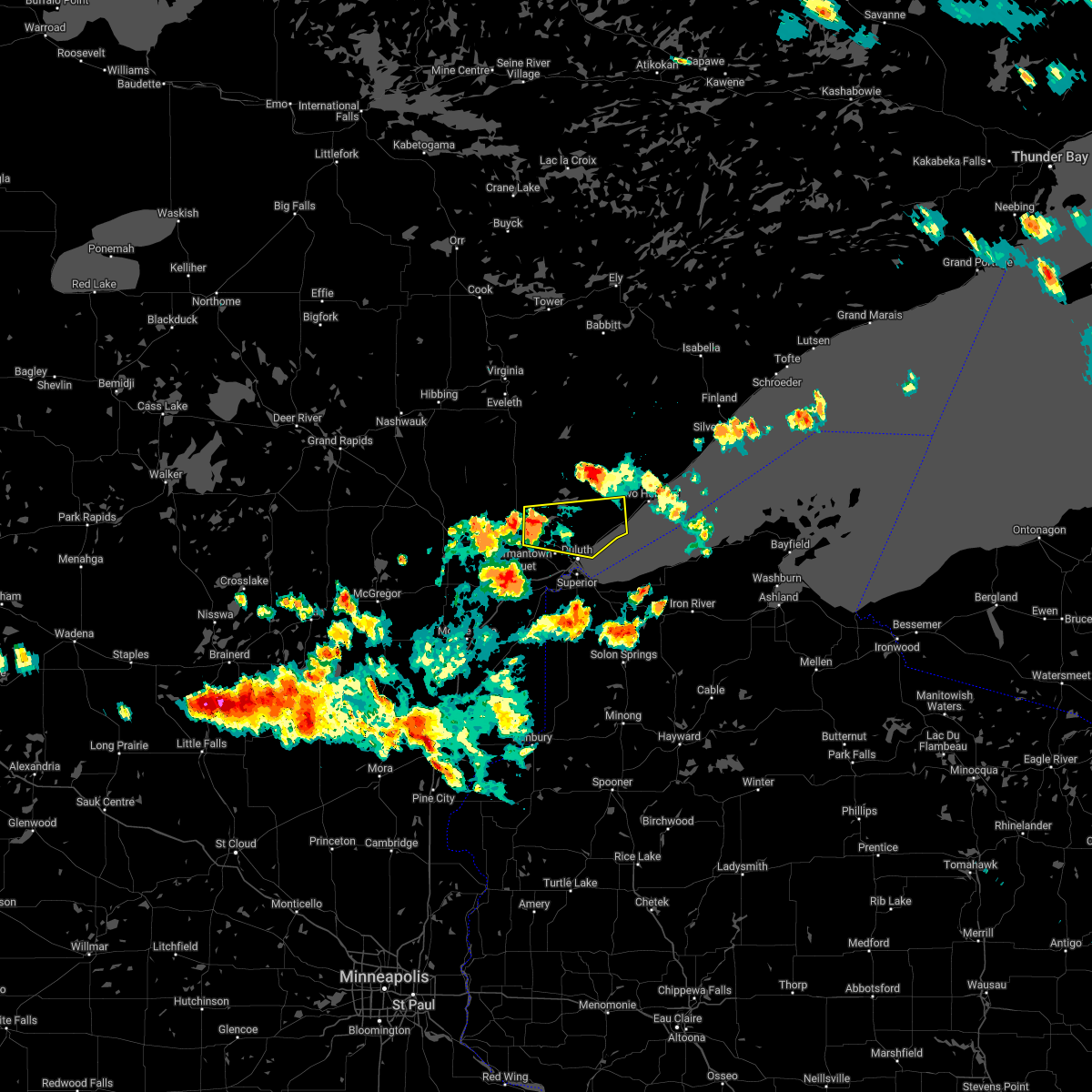
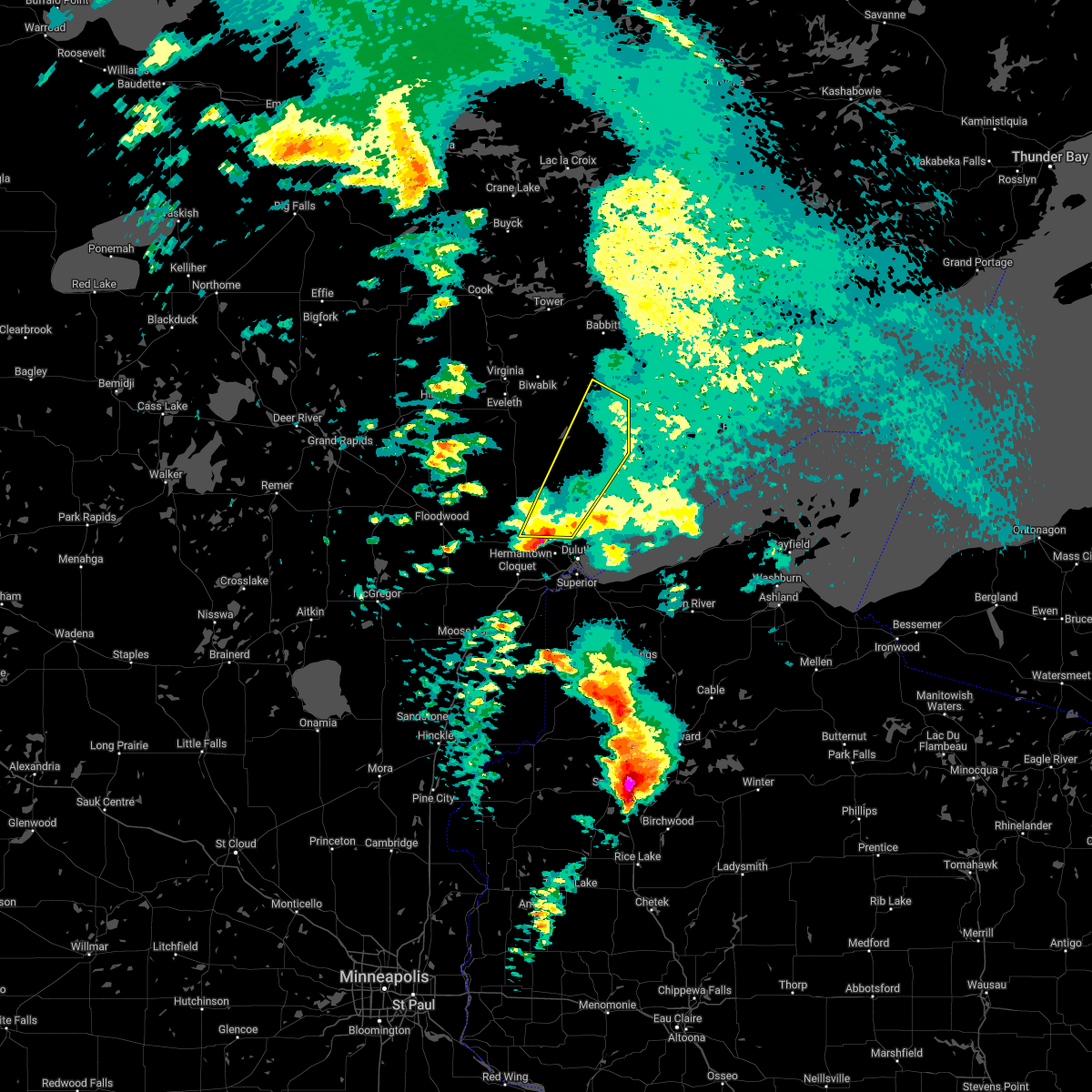
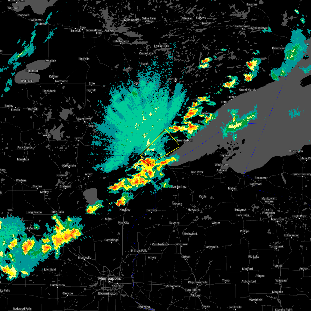
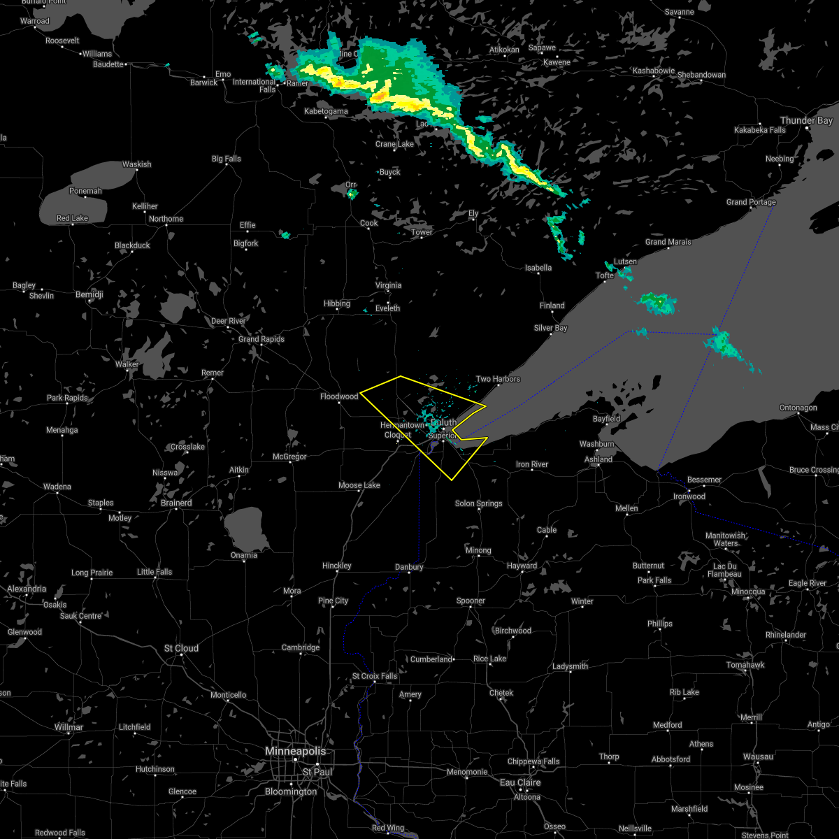
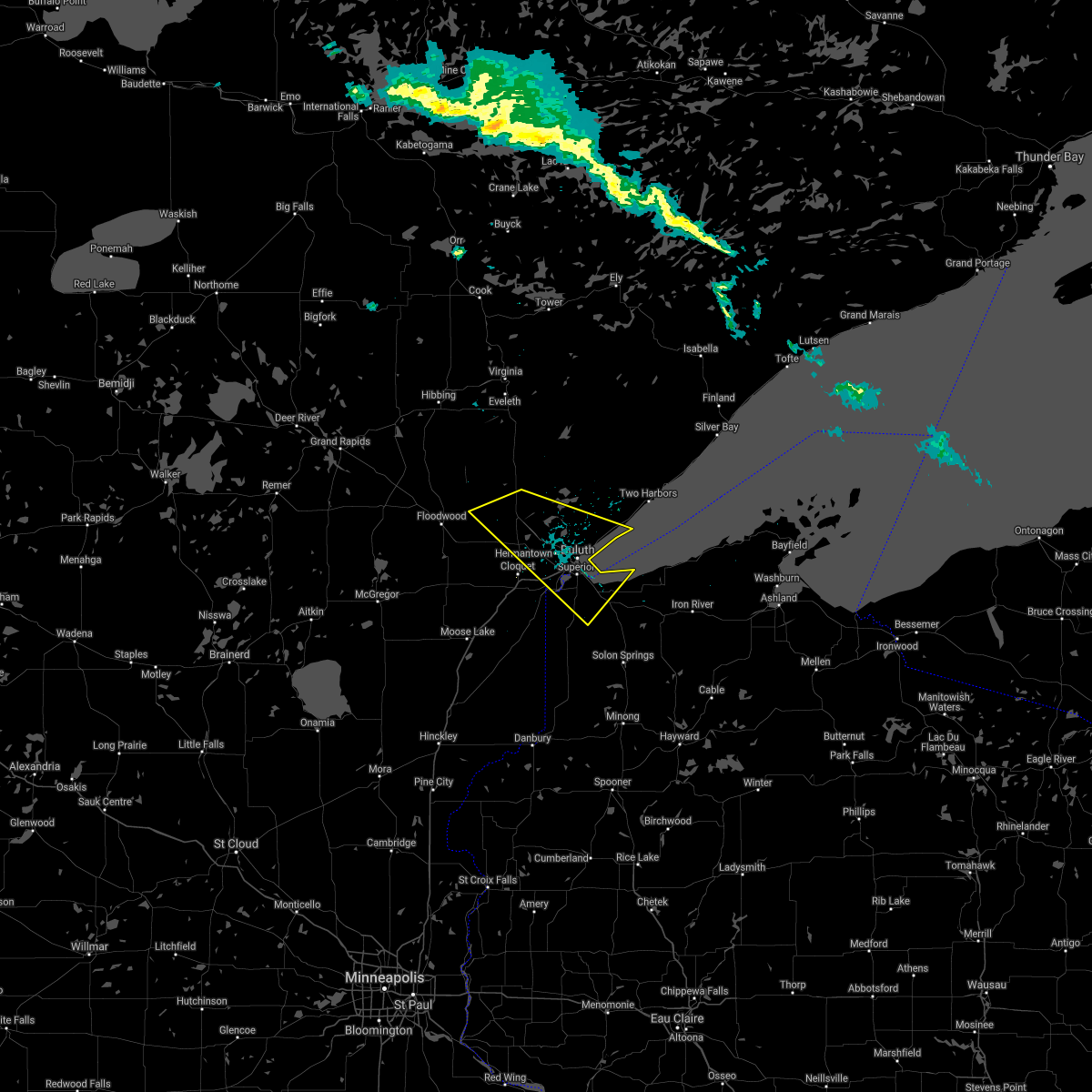
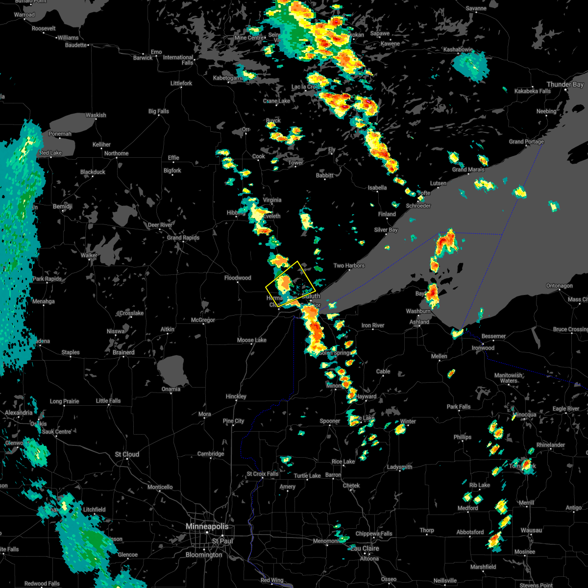
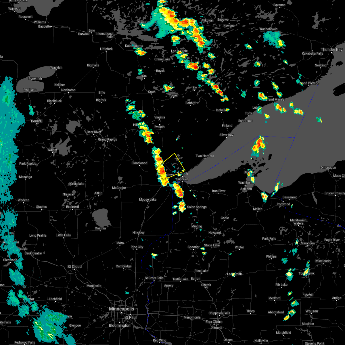
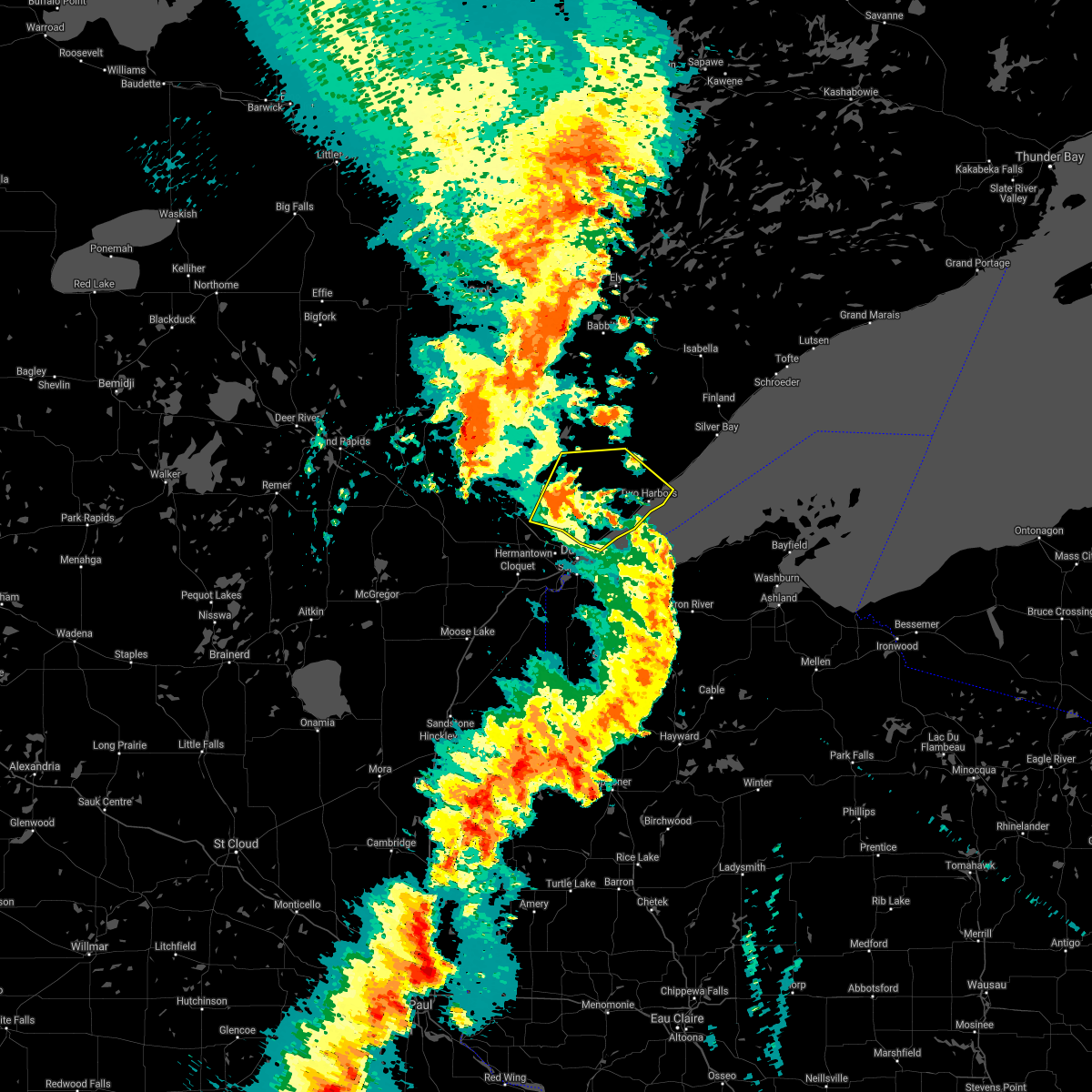
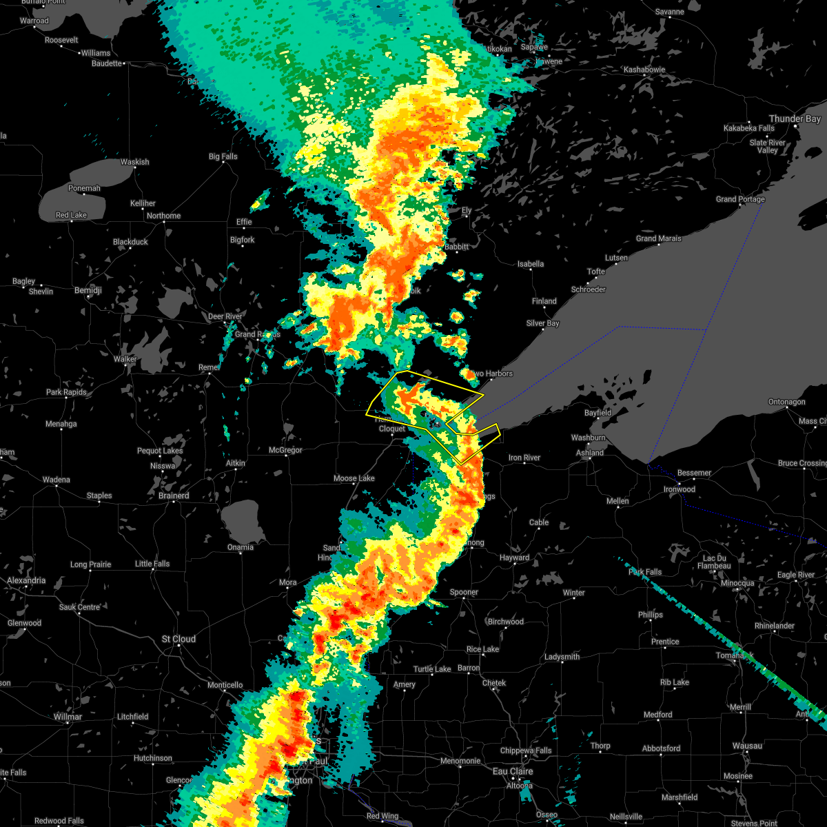
Hail Map for Arnold, MN
The Arnold, MN area has had 0 reports of on-the-ground hail by trained spotters, and has been under severe weather warnings 3 times during the past 12 months. Doppler radar has detected hail at or near Arnold, MN on 20 occasions, including 1 occasion during the past year.
| Name: | Arnold, MN |
| Where Located: | 6.2 miles N of Duluth, MN |
| Map: | Google Map for Arnold, MN |
| Population: | 2960 |
| Housing Units: | 1226 |
| More Info: | Search Google for Arnold, MN |
3
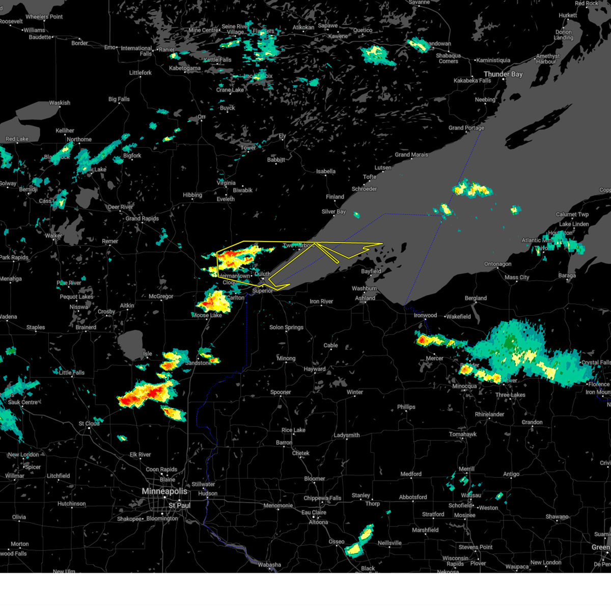
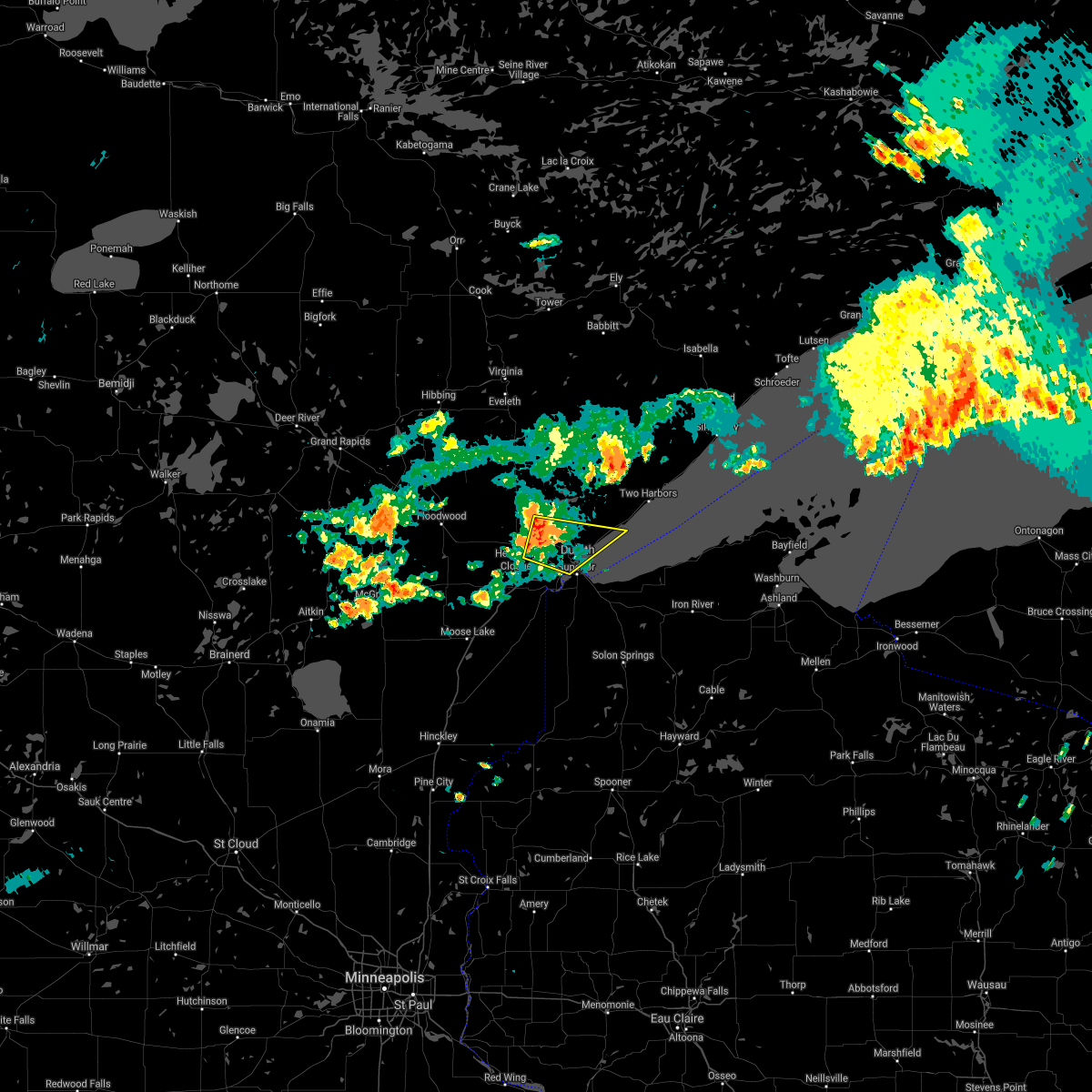
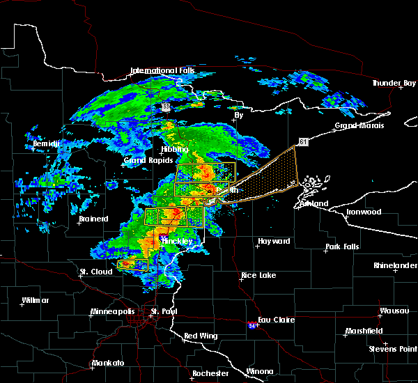
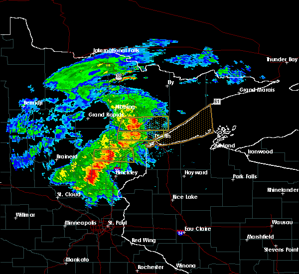
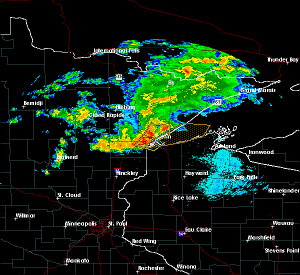
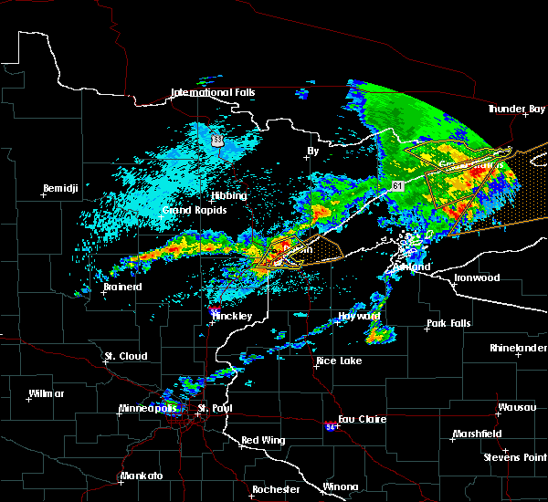
The Top Recent Hail Date for Arnold, MN is Thursday, July 27, 2023 (4th out of 20)

Hail and Wind Damage Spotted near Arnold, MN
| Date / Time | Report Details |
|---|---|
| 7/27/2023 3:14 PM CDT |
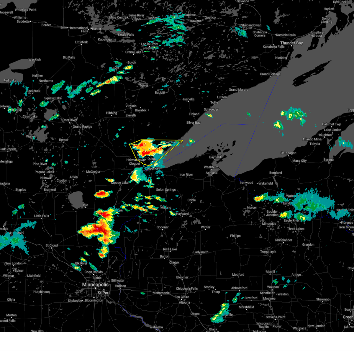 At 314 pm cdt, severe thunderstorms were located along a line extending from near larsmont, to near pike lake near duluth, moving east at 50 mph (radar indicated). Hazards include ping pong ball size hail and 60 mph wind gusts. People and animals outdoors will be injured. expect hail damage to roofs, siding, windows, and vehicles. expect wind damage to roofs, siding, and trees. these severe storms will be near, two harbors and larsmont around 320 pm cdt. other locations in the path of these severe thunderstorms include superior, city of rice lake, french river, stoney point and knife river. hail threat, radar indicated max hail size, 1. 50 in wind threat, radar indicated max wind gust, 60 mph. At 314 pm cdt, severe thunderstorms were located along a line extending from near larsmont, to near pike lake near duluth, moving east at 50 mph (radar indicated). Hazards include ping pong ball size hail and 60 mph wind gusts. People and animals outdoors will be injured. expect hail damage to roofs, siding, windows, and vehicles. expect wind damage to roofs, siding, and trees. these severe storms will be near, two harbors and larsmont around 320 pm cdt. other locations in the path of these severe thunderstorms include superior, city of rice lake, french river, stoney point and knife river. hail threat, radar indicated max hail size, 1. 50 in wind threat, radar indicated max wind gust, 60 mph.
|
| 7/27/2023 3:06 PM CDT |
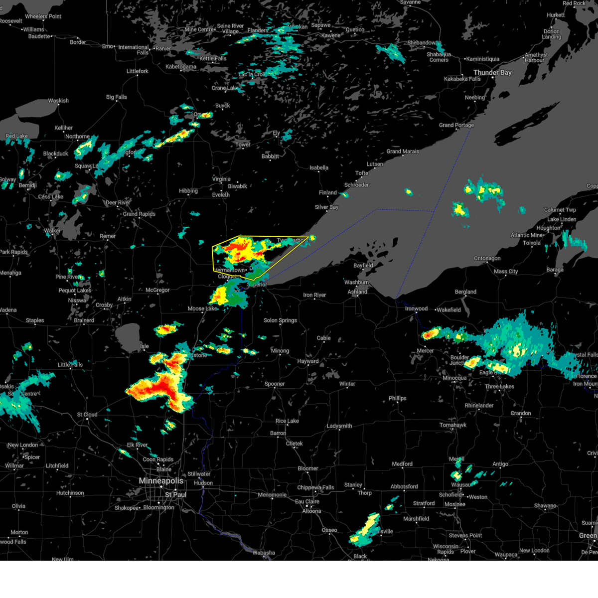 At 306 pm cdt, severe thunderstorms were located along a line extending from near larsmont, to near saginaw, moving east at 50 mph (radar indicated). Hazards include 60 mph wind gusts and quarter size hail. Hail damage to vehicles is expected. expect wind damage to roofs, siding, and trees. these severe storms will be near, larsmont, knife river and stoney point around 310 pm cdt. two harbors around 315 pm cdt. proctor around 320 pm cdt. other locations in the path of these severe thunderstorms include superior, city of rice lake and french river. hail threat, radar indicated max hail size, 1. 00 in wind threat, radar indicated max wind gust, 60 mph. At 306 pm cdt, severe thunderstorms were located along a line extending from near larsmont, to near saginaw, moving east at 50 mph (radar indicated). Hazards include 60 mph wind gusts and quarter size hail. Hail damage to vehicles is expected. expect wind damage to roofs, siding, and trees. these severe storms will be near, larsmont, knife river and stoney point around 310 pm cdt. two harbors around 315 pm cdt. proctor around 320 pm cdt. other locations in the path of these severe thunderstorms include superior, city of rice lake and french river. hail threat, radar indicated max hail size, 1. 00 in wind threat, radar indicated max wind gust, 60 mph.
|
| 7/27/2023 3:04 PM CDT |
 At 304 pm cdt, severe thunderstorms were located along a line extending from near larsmont, to near saginaw, moving east at 50 mph (radar indicated). Hazards include 60 mph wind gusts and quarter size hail. Hail damage to vehicles is expected. expect wind damage to roofs, siding, and trees. severe thunderstorms will be near, larsmont and knife river around 310 pm cdt. two harbors around 315 pm cdt. other locations in the path of these severe thunderstorms include superior, city of rice lake, french river and stoney point. hail threat, radar indicated max hail size, 1. 00 in wind threat, radar indicated max wind gust, 60 mph. At 304 pm cdt, severe thunderstorms were located along a line extending from near larsmont, to near saginaw, moving east at 50 mph (radar indicated). Hazards include 60 mph wind gusts and quarter size hail. Hail damage to vehicles is expected. expect wind damage to roofs, siding, and trees. severe thunderstorms will be near, larsmont and knife river around 310 pm cdt. two harbors around 315 pm cdt. other locations in the path of these severe thunderstorms include superior, city of rice lake, french river and stoney point. hail threat, radar indicated max hail size, 1. 00 in wind threat, radar indicated max wind gust, 60 mph.
|
| 6/23/2022 9:30 PM CDT |
 At 930 pm cdt, a severe thunderstorm was located over city of rice lake, or 13 miles north of superior, moving east at 25 mph (radar indicated). Hazards include 60 mph wind gusts and half dollar size hail. Hail damage to vehicles is expected. expect wind damage to roofs, siding, and trees. locations impacted include, city of rice lake, french river and stoney point. hail threat, radar indicated max hail size, 1. 25 in wind threat, radar indicated max wind gust, 60 mph. At 930 pm cdt, a severe thunderstorm was located over city of rice lake, or 13 miles north of superior, moving east at 25 mph (radar indicated). Hazards include 60 mph wind gusts and half dollar size hail. Hail damage to vehicles is expected. expect wind damage to roofs, siding, and trees. locations impacted include, city of rice lake, french river and stoney point. hail threat, radar indicated max hail size, 1. 25 in wind threat, radar indicated max wind gust, 60 mph.
|
| 6/23/2022 9:08 PM CDT |
 At 908 pm cdt, a severe thunderstorm was located near pike lake near duluth, or 15 miles northeast of cloquet, moving east at 25 mph (radar indicated). Hazards include 60 mph wind gusts and half dollar size hail. Hail damage to vehicles is expected. expect wind damage to roofs, siding, and trees. this severe thunderstorm will be near, hermantown around 925 pm cdt. other locations in the path of this severe thunderstorm include island lake, city of rice lake, french river and stoney point. hail threat, radar indicated max hail size, 1. 25 in wind threat, radar indicated max wind gust, 60 mph. At 908 pm cdt, a severe thunderstorm was located near pike lake near duluth, or 15 miles northeast of cloquet, moving east at 25 mph (radar indicated). Hazards include 60 mph wind gusts and half dollar size hail. Hail damage to vehicles is expected. expect wind damage to roofs, siding, and trees. this severe thunderstorm will be near, hermantown around 925 pm cdt. other locations in the path of this severe thunderstorm include island lake, city of rice lake, french river and stoney point. hail threat, radar indicated max hail size, 1. 25 in wind threat, radar indicated max wind gust, 60 mph.
|
| 5/30/2022 6:20 AM CDT |
 At 620 am cdt, severe thunderstorms were located along a line extending from near warba, to 6 miles southeast of floodwood, to 9 miles northwest of dairyland, moving east at 55 mph (radar indicated). Hazards include 60 mph wind gusts and penny size hail. Expect damage to roofs, siding, and trees. locations impacted include, superior, hibbing, cloquet, hermantown, proctor, coleraine, hawthorne, keewatin, scanlon, nashwauk, carlton, swan river, mahtowa, poplar, floodwood, cotton, wrenshall, oliver, taconite, and cromwell. hail threat, radar indicated max hail size, 0. 75 in wind threat, radar indicated max wind gust, 60 mph. At 620 am cdt, severe thunderstorms were located along a line extending from near warba, to 6 miles southeast of floodwood, to 9 miles northwest of dairyland, moving east at 55 mph (radar indicated). Hazards include 60 mph wind gusts and penny size hail. Expect damage to roofs, siding, and trees. locations impacted include, superior, hibbing, cloquet, hermantown, proctor, coleraine, hawthorne, keewatin, scanlon, nashwauk, carlton, swan river, mahtowa, poplar, floodwood, cotton, wrenshall, oliver, taconite, and cromwell. hail threat, radar indicated max hail size, 0. 75 in wind threat, radar indicated max wind gust, 60 mph.
|
| 5/30/2022 6:03 AM CDT |
 At 603 am cdt, severe thunderstorms were located along a line extending from near hill city, to 6 miles northwest of cromwell, to near duxbury, moving east at 55 mph (radar indicated). Hazards include 60 mph wind gusts and penny size hail. Expect damage to roofs, siding, and trees. locations impacted include, fond du lac band sawyer area, swan river, fond du lac band brookston area, cloquet, fond du lac band cloquet area, scanlon, carlton, floodwood, wrenshall, thomson, superior, proctor, oliver and meadowlands. hail threat, radar indicated max hail size, 0. 75 in wind threat, radar indicated max wind gust, 60 mph. At 603 am cdt, severe thunderstorms were located along a line extending from near hill city, to 6 miles northwest of cromwell, to near duxbury, moving east at 55 mph (radar indicated). Hazards include 60 mph wind gusts and penny size hail. Expect damage to roofs, siding, and trees. locations impacted include, fond du lac band sawyer area, swan river, fond du lac band brookston area, cloquet, fond du lac band cloquet area, scanlon, carlton, floodwood, wrenshall, thomson, superior, proctor, oliver and meadowlands. hail threat, radar indicated max hail size, 0. 75 in wind threat, radar indicated max wind gust, 60 mph.
|
| 5/30/2022 5:49 AM CDT |
 At 548 am cdt, severe thunderstorms were located along a line extending from swatara, to near tamarack, to 6 miles west of mille lacs band lena lake area, moving northeast at 55 mph (radar indicated). Hazards include 60 mph wind gusts and penny size hail. Expect damage to roofs, siding, and trees. severe thunderstorms will be near, tamarack around 555 am cdt. duxbury around 600 am cdt. cromwell and cloverton around 605 am cdt. other locations in the path of these severe thunderstorms include floodwood, warba, gunn, taconite, foxboro, keewatin, nashwauk, meadowlands and pengilly. hail threat, radar indicated max hail size, 0. 75 in wind threat, radar indicated max wind gust, 60 mph. At 548 am cdt, severe thunderstorms were located along a line extending from swatara, to near tamarack, to 6 miles west of mille lacs band lena lake area, moving northeast at 55 mph (radar indicated). Hazards include 60 mph wind gusts and penny size hail. Expect damage to roofs, siding, and trees. severe thunderstorms will be near, tamarack around 555 am cdt. duxbury around 600 am cdt. cromwell and cloverton around 605 am cdt. other locations in the path of these severe thunderstorms include floodwood, warba, gunn, taconite, foxboro, keewatin, nashwauk, meadowlands and pengilly. hail threat, radar indicated max hail size, 0. 75 in wind threat, radar indicated max wind gust, 60 mph.
|
| 5/18/2022 4:29 PM CDT |
 At 429 pm cdt, severe thunderstorms were located along a line extending from near highland lake, to near french river, to near holyoke, moving east at 50 mph (radar indicated). Hazards include 70 mph wind gusts and nickel size hail. Expect considerable tree damage. damage is likely to mobile homes, roofs, and outbuildings. locations impacted include, highland lake, french river, stoney point, knife river, castle danger, split rock lighthouse, port wing, hawthorne, solon springs, herbster and lake nebagamon. thunderstorm damage threat, considerable hail threat, radar indicated max hail size, 0. 88 in wind threat, radar indicated max wind gust, 70 mph. At 429 pm cdt, severe thunderstorms were located along a line extending from near highland lake, to near french river, to near holyoke, moving east at 50 mph (radar indicated). Hazards include 70 mph wind gusts and nickel size hail. Expect considerable tree damage. damage is likely to mobile homes, roofs, and outbuildings. locations impacted include, highland lake, french river, stoney point, knife river, castle danger, split rock lighthouse, port wing, hawthorne, solon springs, herbster and lake nebagamon. thunderstorm damage threat, considerable hail threat, radar indicated max hail size, 0. 88 in wind threat, radar indicated max wind gust, 70 mph.
|
| 5/18/2022 4:10 PM CDT |
 At 409 pm cdt, severe thunderstorms were located along a line extending from 7 miles south of whiteface reservoir, to near pike lake near duluth, to near barnum, moving east at 50 mph (radar indicated). Hazards include 70 mph wind gusts and nickel size hail. Expect considerable tree damage. damage is likely to mobile homes, roofs, and outbuildings. severe thunderstorms will be near, hermantown around 415 pm cdt. superior and city of rice lake around 420 pm cdt. other locations in the path of these severe thunderstorms include holyoke, highland lake, french river, thomas lake near brimson, stoney point, foxboro, knife river, castle danger, split rock lighthouse, hawthorne, solon springs, port wing and herbster. thunderstorm damage threat, considerable hail threat, radar indicated max hail size, 0. 88 in wind threat, radar indicated max wind gust, 70 mph. At 409 pm cdt, severe thunderstorms were located along a line extending from 7 miles south of whiteface reservoir, to near pike lake near duluth, to near barnum, moving east at 50 mph (radar indicated). Hazards include 70 mph wind gusts and nickel size hail. Expect considerable tree damage. damage is likely to mobile homes, roofs, and outbuildings. severe thunderstorms will be near, hermantown around 415 pm cdt. superior and city of rice lake around 420 pm cdt. other locations in the path of these severe thunderstorms include holyoke, highland lake, french river, thomas lake near brimson, stoney point, foxboro, knife river, castle danger, split rock lighthouse, hawthorne, solon springs, port wing and herbster. thunderstorm damage threat, considerable hail threat, radar indicated max hail size, 0. 88 in wind threat, radar indicated max wind gust, 70 mph.
|
| 5/18/2022 4:01 PM CDT |
 At 401 pm cdt, severe thunderstorms were located along a line extending from 6 miles southeast of cotton, to saginaw, to fond du lac band sawyer area, moving east at 55 mph (radar indicated). Hazards include 70 mph wind gusts and quarter size hail. Hail damage to vehicles is expected. expect considerable tree damage. wind damage is also likely to mobile homes, roofs, and outbuildings. locations impacted include, pike lake near duluth, boulder lake, hermantown, carlton, wrenshall, thomson, island lake, city of rice lake and proctor. thunderstorm damage threat, considerable hail threat, radar indicated max hail size, 1. 00 in wind threat, radar indicated max wind gust, 70 mph. At 401 pm cdt, severe thunderstorms were located along a line extending from 6 miles southeast of cotton, to saginaw, to fond du lac band sawyer area, moving east at 55 mph (radar indicated). Hazards include 70 mph wind gusts and quarter size hail. Hail damage to vehicles is expected. expect considerable tree damage. wind damage is also likely to mobile homes, roofs, and outbuildings. locations impacted include, pike lake near duluth, boulder lake, hermantown, carlton, wrenshall, thomson, island lake, city of rice lake and proctor. thunderstorm damage threat, considerable hail threat, radar indicated max hail size, 1. 00 in wind threat, radar indicated max wind gust, 70 mph.
|
| 5/18/2022 3:39 PM CDT |
 At 339 pm cdt, severe thunderstorms were located along a line extending from near meadowlands, to 6 miles southeast of floodwood, to 7 miles northeast of tamarack, moving east at 55 mph (radar indicated). Hazards include 70 mph wind gusts and quarter size hail. Hail damage to vehicles is expected. expect considerable tree damage. wind damage is also likely to mobile homes, roofs, and outbuildings. severe thunderstorms will be near, meadowlands around 345 pm cdt. brookston around 350 pm cdt. cotton, fond du lac band sawyer area and canyon around 355 pm cdt. other locations in the path of these severe thunderstorms include saginaw, fond du lac band brookston area, cloquet, hermantown, scanlon, carlton, boulder lake, pike lake near duluth, fond du lac band cloquet area, proctor, wrenshall, thomson, city of rice lake and island lake. thunderstorm damage threat, considerable hail threat, radar indicated max hail size, 1. 00 in wind threat, radar indicated max wind gust, 70 mph. At 339 pm cdt, severe thunderstorms were located along a line extending from near meadowlands, to 6 miles southeast of floodwood, to 7 miles northeast of tamarack, moving east at 55 mph (radar indicated). Hazards include 70 mph wind gusts and quarter size hail. Hail damage to vehicles is expected. expect considerable tree damage. wind damage is also likely to mobile homes, roofs, and outbuildings. severe thunderstorms will be near, meadowlands around 345 pm cdt. brookston around 350 pm cdt. cotton, fond du lac band sawyer area and canyon around 355 pm cdt. other locations in the path of these severe thunderstorms include saginaw, fond du lac band brookston area, cloquet, hermantown, scanlon, carlton, boulder lake, pike lake near duluth, fond du lac band cloquet area, proctor, wrenshall, thomson, city of rice lake and island lake. thunderstorm damage threat, considerable hail threat, radar indicated max hail size, 1. 00 in wind threat, radar indicated max wind gust, 70 mph.
|
| 5/9/2022 11:26 AM CDT |
 At 1125 am cdt, a severe thunderstorm was located over island lake, or 18 miles north of superior, moving northeast at 60 mph (radar indicated). Hazards include 60 mph wind gusts and quarter size hail. Hail damage to vehicles is expected. expect wind damage to roofs, siding, and trees. locations impacted include, boulder lake, wolf lake, brimson and fairbanks. hail threat, radar indicated max hail size, 1. 00 in wind threat, radar indicated max wind gust, 60 mph. At 1125 am cdt, a severe thunderstorm was located over island lake, or 18 miles north of superior, moving northeast at 60 mph (radar indicated). Hazards include 60 mph wind gusts and quarter size hail. Hail damage to vehicles is expected. expect wind damage to roofs, siding, and trees. locations impacted include, boulder lake, wolf lake, brimson and fairbanks. hail threat, radar indicated max hail size, 1. 00 in wind threat, radar indicated max wind gust, 60 mph.
|
| 5/9/2022 11:12 AM CDT |
 At 1112 am cdt, a severe thunderstorm was located near saginaw, or 7 miles northeast of cloquet, moving northeast at 60 mph (radar indicated). Hazards include quarter size hail. Damage to vehicles is expected. this severe thunderstorm will be near, hermantown and pike lake near duluth around 1120 am cdt. island lake around 1130 am cdt. other locations in the path of this severe thunderstorm include boulder lake, wolf lake, brimson and fairbanks. hail threat, radar indicated max hail size, 1. 00 in wind threat, radar indicated max wind gust, <50 mph. At 1112 am cdt, a severe thunderstorm was located near saginaw, or 7 miles northeast of cloquet, moving northeast at 60 mph (radar indicated). Hazards include quarter size hail. Damage to vehicles is expected. this severe thunderstorm will be near, hermantown and pike lake near duluth around 1120 am cdt. island lake around 1130 am cdt. other locations in the path of this severe thunderstorm include boulder lake, wolf lake, brimson and fairbanks. hail threat, radar indicated max hail size, 1. 00 in wind threat, radar indicated max wind gust, <50 mph.
|
| 9/17/2021 12:22 AM CDT |
 At 1221 am cdt, a severe thunderstorm was located near city of rice lake, or 13 miles north of duluth, moving northeast at 50 mph. trained spotter in hermantown reported quarter sized hail at 1205 am cdt with this storm (trained weather spotters). Hazards include quarter size hail. Damage to vehicles is expected. locations impacted include, duluth, island lake, city of rice lake, boulder lake, fredenberg, kenwood, wild rice lake, lakewood twp, and fish lake. hail threat, observed max hail size, 1. 00 in wind threat, radar indicated max wind gust, <50 mph. At 1221 am cdt, a severe thunderstorm was located near city of rice lake, or 13 miles north of duluth, moving northeast at 50 mph. trained spotter in hermantown reported quarter sized hail at 1205 am cdt with this storm (trained weather spotters). Hazards include quarter size hail. Damage to vehicles is expected. locations impacted include, duluth, island lake, city of rice lake, boulder lake, fredenberg, kenwood, wild rice lake, lakewood twp, and fish lake. hail threat, observed max hail size, 1. 00 in wind threat, radar indicated max wind gust, <50 mph.
|
| 9/17/2021 12:15 AM CDT |
 At 1214 am cdt, a severe thunderstorm was located near city of rice lake, or 9 miles north of duluth, moving northeast at 50 mph. trained spotter in hermantown reported quarter sized hail at 1205 am cdt with this storm (trained weather spotters). Hazards include quarter size hail. Damage to vehicles is expected. this severe thunderstorm will remain over mainly rural areas of southeastern st. louis county, including the following locations, grand lake, kenwood, wild rice lake, fredenberg, duluth heights, twig, lakewood twp, adolph and fish lake. hail threat, observed max hail size, 1. 00 in wind threat, radar indicated max wind gust, <50 mph. At 1214 am cdt, a severe thunderstorm was located near city of rice lake, or 9 miles north of duluth, moving northeast at 50 mph. trained spotter in hermantown reported quarter sized hail at 1205 am cdt with this storm (trained weather spotters). Hazards include quarter size hail. Damage to vehicles is expected. this severe thunderstorm will remain over mainly rural areas of southeastern st. louis county, including the following locations, grand lake, kenwood, wild rice lake, fredenberg, duluth heights, twig, lakewood twp, adolph and fish lake. hail threat, observed max hail size, 1. 00 in wind threat, radar indicated max wind gust, <50 mph.
|
| 9/16/2021 11:58 PM CDT |
 At 1158 pm cdt, a severe thunderstorm was located over saginaw, or 7 miles north of cloquet, moving northeast at 50 mph (radar indicated). Hazards include quarter size hail. Damage to vehicles is expected. this severe thunderstorm will be near, pike lake near duluth around 1205 am cdt. hermantown around 1210 am cdt. island lake and boulder lake around 1225 am cdt. other locations impacted by this severe thunderstorm include grand lake, wild rice lake, fredenberg, twig, munger, burnett, fish lake, kenwood, duluth heights and lakewood twp. hail threat, radar indicated max hail size, 1. 00 in wind threat, radar indicated max wind gust, <50 mph. At 1158 pm cdt, a severe thunderstorm was located over saginaw, or 7 miles north of cloquet, moving northeast at 50 mph (radar indicated). Hazards include quarter size hail. Damage to vehicles is expected. this severe thunderstorm will be near, pike lake near duluth around 1205 am cdt. hermantown around 1210 am cdt. island lake and boulder lake around 1225 am cdt. other locations impacted by this severe thunderstorm include grand lake, wild rice lake, fredenberg, twig, munger, burnett, fish lake, kenwood, duluth heights and lakewood twp. hail threat, radar indicated max hail size, 1. 00 in wind threat, radar indicated max wind gust, <50 mph.
|
| 7/26/2021 8:08 PM CDT |
 At 808 pm cdt, a severe thunderstorm was located over superior, moving southeast at 45 mph (radar indicated). Hazards include 60 mph wind gusts and quarter size hail. Hail damage to vehicles is expected. expect wind damage to roofs, siding, and trees. Locations impacted include, duluth, superior, hermantown, proctor, oliver, south range, wisconsin point, city of rice lake, irving, cody, park point, billings park, gary new duluth, morgan park, lakeside-lester park, spirit valley, central hillside, norton park, piedmont heights, and duluth heights. At 808 pm cdt, a severe thunderstorm was located over superior, moving southeast at 45 mph (radar indicated). Hazards include 60 mph wind gusts and quarter size hail. Hail damage to vehicles is expected. expect wind damage to roofs, siding, and trees. Locations impacted include, duluth, superior, hermantown, proctor, oliver, south range, wisconsin point, city of rice lake, irving, cody, park point, billings park, gary new duluth, morgan park, lakeside-lester park, spirit valley, central hillside, norton park, piedmont heights, and duluth heights.
|
| 7/26/2021 7:48 PM CDT |
 At 748 pm cdt, a severe thunderstorm was located near pike lake near duluth, or 14 miles northeast of cloquet, moving southeast at 35 mph (radar indicated). Hazards include 60 mph wind gusts and half dollar size hail. Hail damage to vehicles is expected. expect wind damage to roofs, siding, and trees. Locations impacted include, pike lake near duluth, hermantown, proctor, superior, oliver, wisconsin point and south range. At 748 pm cdt, a severe thunderstorm was located near pike lake near duluth, or 14 miles northeast of cloquet, moving southeast at 35 mph (radar indicated). Hazards include 60 mph wind gusts and half dollar size hail. Hail damage to vehicles is expected. expect wind damage to roofs, siding, and trees. Locations impacted include, pike lake near duluth, hermantown, proctor, superior, oliver, wisconsin point and south range.
|
| 7/26/2021 7:30 PM CDT |
 At 730 pm cdt, a severe thunderstorm was located near canyon, or 20 miles north of cloquet, moving southeast at 35 mph (radar indicated). Hazards include 60 mph wind gusts and half dollar size hail. Hail damage to vehicles is expected. expect wind damage to roofs, siding, and trees. this severe thunderstorm will be near, saginaw around 750 pm cdt. Other locations in the path of this severe thunderstorm include pike lake near duluth, hermantown, proctor, superior, oliver, wisconsin point and south range. At 730 pm cdt, a severe thunderstorm was located near canyon, or 20 miles north of cloquet, moving southeast at 35 mph (radar indicated). Hazards include 60 mph wind gusts and half dollar size hail. Hail damage to vehicles is expected. expect wind damage to roofs, siding, and trees. this severe thunderstorm will be near, saginaw around 750 pm cdt. Other locations in the path of this severe thunderstorm include pike lake near duluth, hermantown, proctor, superior, oliver, wisconsin point and south range.
|
| 7/24/2021 5:19 AM CDT |
 At 518 am cdt, a severe thunderstorm was located 10 miles southeast of french river, or 15 miles east of superior, moving east at 50 mph (trained weather spotters). Hazards include 70 mph wind gusts. Expect considerable tree damage. damage is likely to mobile homes, roofs, and outbuildings. gusts to 65 mph have been reported at the duluth international airport. Locations impacted include, duluth, superior, hermantown, proctor, hawthorne, iron river, lake nebagamon, barnes, maple, brule, poplar, oulu, oliver, port wing, herbster, wisconsin point, city of rice lake, french river, south range, and larsmont. At 518 am cdt, a severe thunderstorm was located 10 miles southeast of french river, or 15 miles east of superior, moving east at 50 mph (trained weather spotters). Hazards include 70 mph wind gusts. Expect considerable tree damage. damage is likely to mobile homes, roofs, and outbuildings. gusts to 65 mph have been reported at the duluth international airport. Locations impacted include, duluth, superior, hermantown, proctor, hawthorne, iron river, lake nebagamon, barnes, maple, brule, poplar, oulu, oliver, port wing, herbster, wisconsin point, city of rice lake, french river, south range, and larsmont.
|
| 7/24/2021 5:07 AM CDT |
 At 506 am cdt, a severe thunderstorm was located over duluth, moving east at 50 mph (trained weather spotters). Hazards include 70 mph wind gusts. Expect considerable tree damage. Damage is likely to mobile homes, roofs, and outbuildings. At 506 am cdt, a severe thunderstorm was located over duluth, moving east at 50 mph (trained weather spotters). Hazards include 70 mph wind gusts. Expect considerable tree damage. Damage is likely to mobile homes, roofs, and outbuildings.
|
| 7/23/2021 9:08 PM CDT |
 At 905 pm cdt, a severe thunderstorm was located near hermantown, or near duluth, moving east at 35 mph (at 842 pm, law enforcement reported trees down near culver with these storms. doppler radar indicated 70 mph winds at 905 pm). Hazards include 70 mph wind gusts and penny size hail. Expect considerable tree damage. damage is likely to mobile homes, roofs, and outbuildings. this severe storm will be near, canal park around 915 pm cdt. Other locations in the path of this severe thunderstorm include duluth and french river. At 905 pm cdt, a severe thunderstorm was located near hermantown, or near duluth, moving east at 35 mph (at 842 pm, law enforcement reported trees down near culver with these storms. doppler radar indicated 70 mph winds at 905 pm). Hazards include 70 mph wind gusts and penny size hail. Expect considerable tree damage. damage is likely to mobile homes, roofs, and outbuildings. this severe storm will be near, canal park around 915 pm cdt. Other locations in the path of this severe thunderstorm include duluth and french river.
|
| 7/23/2021 8:56 PM CDT |
 At 856 pm cdt, a severe thunderstorm was located over pike lake near duluth, or 9 miles northwest of duluth, moving east at 35 mph (radar indicated). Hazards include 60 mph wind gusts and penny size hail. Expect damage to roofs, siding, and trees. this severe thunderstorm will be near, hermantown and proctor around 905 pm cdt. superior and city of rice lake around 915 pm cdt. Other locations in the path of this severe thunderstorm include duluth and french river. At 856 pm cdt, a severe thunderstorm was located over pike lake near duluth, or 9 miles northwest of duluth, moving east at 35 mph (radar indicated). Hazards include 60 mph wind gusts and penny size hail. Expect damage to roofs, siding, and trees. this severe thunderstorm will be near, hermantown and proctor around 905 pm cdt. superior and city of rice lake around 915 pm cdt. Other locations in the path of this severe thunderstorm include duluth and french river.
|
| 6/11/2021 10:06 AM CDT |
 The severe thunderstorm warning for south central st. louis and northern carlton counties will expire at 1015 am cdt, the storm which prompted the warning has weakened below severe limits, and no longer poses an immediate threat to life or property. therefore, the warning will be allowed to expire. however small hail is still possible with this thunderstorm. The severe thunderstorm warning for south central st. louis and northern carlton counties will expire at 1015 am cdt, the storm which prompted the warning has weakened below severe limits, and no longer poses an immediate threat to life or property. therefore, the warning will be allowed to expire. however small hail is still possible with this thunderstorm.
|
| 6/11/2021 9:49 AM CDT |
 At 949 am cdt, a severe thunderstorm was located over saginaw, or 9 miles north of cloquet, moving northeast at 20 mph (radar indicated). Hazards include quarter size hail. damage to vehicles is expected At 949 am cdt, a severe thunderstorm was located over saginaw, or 9 miles north of cloquet, moving northeast at 20 mph (radar indicated). Hazards include quarter size hail. damage to vehicles is expected
|
| 8/14/2020 8:16 PM CDT |
 At 815 pm cdt, severe thunderstorms were located along a line extending from 7 miles southwest of boulder lake, to near island lake, to near city of rice lake, to near french river, moving northeast at 40 mph (law enforcement reported a few trees down near chub lake as the storms moved through). Hazards include 60 mph wind gusts. Expect damage to roofs, siding, and trees. Locations impacted include, duluth, two harbors, boulder lake, island lake, knife river, city of rice lake, larsmont, french river, fredenberg, alger, palmers, fish lake, lakeside-lester park, lakewood twp, pequaywan lake, taft, north shore, and morley hts/parkview. At 815 pm cdt, severe thunderstorms were located along a line extending from 7 miles southwest of boulder lake, to near island lake, to near city of rice lake, to near french river, moving northeast at 40 mph (law enforcement reported a few trees down near chub lake as the storms moved through). Hazards include 60 mph wind gusts. Expect damage to roofs, siding, and trees. Locations impacted include, duluth, two harbors, boulder lake, island lake, knife river, city of rice lake, larsmont, french river, fredenberg, alger, palmers, fish lake, lakeside-lester park, lakewood twp, pequaywan lake, taft, north shore, and morley hts/parkview.
|
| 8/14/2020 8:10 PM CDT |
 At 809 pm cdt, severe thunderstorms were located along a line extending from near pike lake near duluth, to near city of rice lake, to 7 miles southwest of french river, moving northeast at 45 mph (radar indicated). Hazards include 60 mph wind gusts. expect damage to roofs, siding, and trees At 809 pm cdt, severe thunderstorms were located along a line extending from near pike lake near duluth, to near city of rice lake, to 7 miles southwest of french river, moving northeast at 45 mph (radar indicated). Hazards include 60 mph wind gusts. expect damage to roofs, siding, and trees
|
| 8/14/2020 8:07 PM CDT |
 At 806 pm cdt, severe thunderstorms were located along a line extending from near saginaw, to near city of rice lake, to 7 miles northeast of wisconsin point, to 7 miles north of poplar, moving northeast at 45 mph (radar indicated). Hazards include 60 mph wind gusts. Expect damage to roofs, siding, and trees. Locations impacted include, duluth, superior, hermantown, proctor, brookston, saginaw, island lake, wisconsin point, pike lake near duluth, knife river, city of rice lake, french river, fond du lac reservation, grand lake, fredenberg, culver, cody, park point, billings park, and palmers. At 806 pm cdt, severe thunderstorms were located along a line extending from near saginaw, to near city of rice lake, to 7 miles northeast of wisconsin point, to 7 miles north of poplar, moving northeast at 45 mph (radar indicated). Hazards include 60 mph wind gusts. Expect damage to roofs, siding, and trees. Locations impacted include, duluth, superior, hermantown, proctor, brookston, saginaw, island lake, wisconsin point, pike lake near duluth, knife river, city of rice lake, french river, fond du lac reservation, grand lake, fredenberg, culver, cody, park point, billings park, and palmers.
|
| 8/14/2020 7:57 PM CDT |
 At 756 pm cdt, severe thunderstorms were located along a line extending from fond du lac reservation, to near hermantown, to wisconsin point, to near south range, moving northeast at 45 mph (radar indicated). Hazards include 60 mph wind gusts. Expect damage to roofs, siding, and trees. Locations impacted include, duluth, superior, cloquet, hermantown, proctor, scanlon, oliver, brookston, wisconsin point, pike lake near duluth, city of rice lake, french river, south range, saginaw, fond du lac reservation, island lake, knife river, grand lake, fredenberg, and mahnomen. At 756 pm cdt, severe thunderstorms were located along a line extending from fond du lac reservation, to near hermantown, to wisconsin point, to near south range, moving northeast at 45 mph (radar indicated). Hazards include 60 mph wind gusts. Expect damage to roofs, siding, and trees. Locations impacted include, duluth, superior, cloquet, hermantown, proctor, scanlon, oliver, brookston, wisconsin point, pike lake near duluth, city of rice lake, french river, south range, saginaw, fond du lac reservation, island lake, knife river, grand lake, fredenberg, and mahnomen.
|
| 8/14/2020 7:42 PM CDT |
 At 742 pm cdt, severe thunderstorms were located along a line extending from 6 miles southwest of fond du lac reservation, to near carlton, to near wrenshall, to near foxboro, moving northeast at 45 mph (radar indicated). Hazards include 70 mph wind gusts. Expect considerable tree damage. damage is likely to mobile homes, roofs, and outbuildings. Locations impacted include, duluth, superior, cloquet, hermantown, proctor, hawthorne, lake nebagamon, scanlon, carlton, maple, mahtowa, poplar, wrenshall, oliver, thomson, brookston, wisconsin point, pike lake near duluth, city of rice lake, and french river. At 742 pm cdt, severe thunderstorms were located along a line extending from 6 miles southwest of fond du lac reservation, to near carlton, to near wrenshall, to near foxboro, moving northeast at 45 mph (radar indicated). Hazards include 70 mph wind gusts. Expect considerable tree damage. damage is likely to mobile homes, roofs, and outbuildings. Locations impacted include, duluth, superior, cloquet, hermantown, proctor, hawthorne, lake nebagamon, scanlon, carlton, maple, mahtowa, poplar, wrenshall, oliver, thomson, brookston, wisconsin point, pike lake near duluth, city of rice lake, and french river.
|
| 8/14/2020 7:41 PM CDT |
 At 741 pm cdt, severe thunderstorms were located along a line extending from 6 miles southwest of fond du lac reservation, to near carlton, to near wrenshall, to near foxboro, moving northeast at 50 mph (radar indicated). Hazards include 70 mph wind gusts. Expect considerable tree damage. Damage is likely to mobile homes, roofs, and outbuildings. At 741 pm cdt, severe thunderstorms were located along a line extending from 6 miles southwest of fond du lac reservation, to near carlton, to near wrenshall, to near foxboro, moving northeast at 50 mph (radar indicated). Hazards include 70 mph wind gusts. Expect considerable tree damage. Damage is likely to mobile homes, roofs, and outbuildings.
|
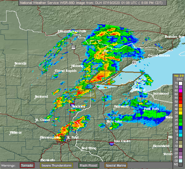
| 7/18/2020 8:39 PM CDT |
 The severe thunderstorm warning for southeastern st. louis and southwestern lake counties will expire at 845 pm cdt, the storms which prompted the warning have moved out of the area. therefore, the warning will be allowed to expire. however gusty winds and heavy rain are still possible with these thunderstorms. a severe thunderstorm watch remains in effect until 1100 pm cdt for northeastern minnesota. The severe thunderstorm warning for southeastern st. louis and southwestern lake counties will expire at 845 pm cdt, the storms which prompted the warning have moved out of the area. therefore, the warning will be allowed to expire. however gusty winds and heavy rain are still possible with these thunderstorms. a severe thunderstorm watch remains in effect until 1100 pm cdt for northeastern minnesota.
|
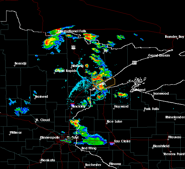
| 7/18/2020 8:32 PM CDT |
 At 831 pm cdt, severe thunderstorms were located along a line extending from near silver bay, to near two harbors, moving east at 45 mph (radar indicated). Hazards include 60 mph wind gusts and quarter size hail. Hail damage to vehicles is expected. expect wind damage to roofs, siding, and trees. Locations impacted include, duluth, two harbors, castle danger, knife river, city of rice lake, thomas lake near brimson, larsmont, highland lake, french river, alger, palmers, gooseberry falls state park, lakewood twp, north shore, and split rock lighthouse state park. At 831 pm cdt, severe thunderstorms were located along a line extending from near silver bay, to near two harbors, moving east at 45 mph (radar indicated). Hazards include 60 mph wind gusts and quarter size hail. Hail damage to vehicles is expected. expect wind damage to roofs, siding, and trees. Locations impacted include, duluth, two harbors, castle danger, knife river, city of rice lake, thomas lake near brimson, larsmont, highland lake, french river, alger, palmers, gooseberry falls state park, lakewood twp, north shore, and split rock lighthouse state park.
|
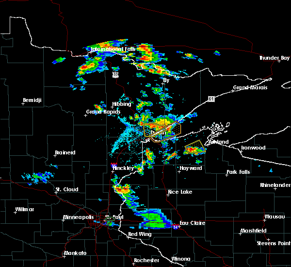
| 7/18/2020 8:14 PM CDT |
 At 813 pm cdt, severe thunderstorms were located along a line extending from 6 miles northeast of thomas lake near brimson, to near knife river, moving east at 45 mph (radar indicated). Hazards include multiple large trees reported down north of island lake. 60 mph wind gusts and half dollar size hail. Hail damage to vehicles is expected. expect wind damage to roofs, siding, and trees. Locations impacted include, duluth, two harbors, boulder lake, island lake, castle danger, knife river, city of rice lake, thomas lake near brimson, larsmont, highland lake, french river, fredenberg, alger, wales, palmers, fish lake, gooseberry falls state park, lakewood twp, pequaywan lake, and north shore. At 813 pm cdt, severe thunderstorms were located along a line extending from 6 miles northeast of thomas lake near brimson, to near knife river, moving east at 45 mph (radar indicated). Hazards include multiple large trees reported down north of island lake. 60 mph wind gusts and half dollar size hail. Hail damage to vehicles is expected. expect wind damage to roofs, siding, and trees. Locations impacted include, duluth, two harbors, boulder lake, island lake, castle danger, knife river, city of rice lake, thomas lake near brimson, larsmont, highland lake, french river, fredenberg, alger, wales, palmers, fish lake, gooseberry falls state park, lakewood twp, pequaywan lake, and north shore.
|
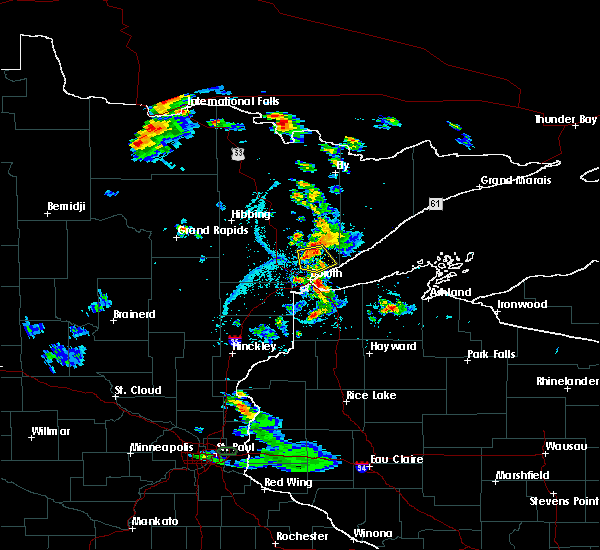
| 7/18/2020 7:56 PM CDT | 2 aspen trees blown over... 6 inches in diamete in st. louis county MN, 19 miles S of Arnold, MN |
| 7/18/2020 7:55 PM CDT |
 At 755 pm cdt, severe thunderstorms were located along a line extending from brimson, to near island lake, moving east at 50 mph (radar indicated). Hazards include 60 mph wind gusts and half dollar size hail. Hail damage to vehicles is expected. Expect wind damage to roofs, siding, and trees. At 755 pm cdt, severe thunderstorms were located along a line extending from brimson, to near island lake, moving east at 50 mph (radar indicated). Hazards include 60 mph wind gusts and half dollar size hail. Hail damage to vehicles is expected. Expect wind damage to roofs, siding, and trees.
|
| 7/14/2020 12:27 AM CDT |
 The severe thunderstorm warning for southeastern st. louis and southwestern lake counties will expire at 1230 am cdt, the storms which prompted the warning have weakened below severe limits, and no longer pose an immediate threat to life or property. therefore, the warning will be allowed to expire. however gusty winds and heavy rain are still possible with these thunderstorms. a severe thunderstorm watch remains in effect until 200 am cdt for northeastern minnesota. The severe thunderstorm warning for southeastern st. louis and southwestern lake counties will expire at 1230 am cdt, the storms which prompted the warning have weakened below severe limits, and no longer pose an immediate threat to life or property. therefore, the warning will be allowed to expire. however gusty winds and heavy rain are still possible with these thunderstorms. a severe thunderstorm watch remains in effect until 200 am cdt for northeastern minnesota.
|
| 7/14/2020 12:15 AM CDT |
 At 1215 am cdt, severe thunderstorms were located along a line extending from 8 miles southwest of whyte, to 8 miles east of island lake, to near cloquet, moving east at 45 mph (radar indicated). Hazards include 60 mph wind gusts and quarter size hail. Hail damage to vehicles is expected. expect wind damage to roofs, siding, and trees. these severe storms will be near, larsmont, knife river and pike lake near duluth around 1230 am cdt. hermantown and proctor around 1235 am cdt. two harbors around 1240 am cdt. superior, silver bay and castle danger around 1245 am cdt. Other locations impacted by these severe thunderstorms include grand lake, cody, fredenberg, wales, palmers, fish lake, lakeside-lester park, spirit valley, central hillside and piedmont heights. At 1215 am cdt, severe thunderstorms were located along a line extending from 8 miles southwest of whyte, to 8 miles east of island lake, to near cloquet, moving east at 45 mph (radar indicated). Hazards include 60 mph wind gusts and quarter size hail. Hail damage to vehicles is expected. expect wind damage to roofs, siding, and trees. these severe storms will be near, larsmont, knife river and pike lake near duluth around 1230 am cdt. hermantown and proctor around 1235 am cdt. two harbors around 1240 am cdt. superior, silver bay and castle danger around 1245 am cdt. Other locations impacted by these severe thunderstorms include grand lake, cody, fredenberg, wales, palmers, fish lake, lakeside-lester park, spirit valley, central hillside and piedmont heights.
|
| 7/13/2020 11:57 PM CDT |
 At 1157 pm cdt, severe thunderstorms were located along a line extending from near fairbanks, to near boulder lake, to 8 miles west of fond du lac reservation, moving southeast at 45 mph (radar indicated). Hazards include 60 mph wind gusts and quarter size hail. Hail damage to vehicles is expected. expect wind damage to roofs, siding, and trees. severe thunderstorms will be near, fairbanks and boulder lake around 1205 am cdt. island lake around 1210 am cdt. cloquet, fond du lac reservation and saginaw around 1215 am cdt. duluth, scanlon and french river around 1225 am cdt. proctor, knife river and larsmont around 1230 am cdt. Other locations impacted by these severe thunderstorms include grand lake, cody, fredenberg, wales, palmers, fish lake, lakeside-lester park, spirit valley, central hillside and norton park. At 1157 pm cdt, severe thunderstorms were located along a line extending from near fairbanks, to near boulder lake, to 8 miles west of fond du lac reservation, moving southeast at 45 mph (radar indicated). Hazards include 60 mph wind gusts and quarter size hail. Hail damage to vehicles is expected. expect wind damage to roofs, siding, and trees. severe thunderstorms will be near, fairbanks and boulder lake around 1205 am cdt. island lake around 1210 am cdt. cloquet, fond du lac reservation and saginaw around 1215 am cdt. duluth, scanlon and french river around 1225 am cdt. proctor, knife river and larsmont around 1230 am cdt. Other locations impacted by these severe thunderstorms include grand lake, cody, fredenberg, wales, palmers, fish lake, lakeside-lester park, spirit valley, central hillside and norton park.
|
| 7/5/2020 4:43 PM CDT |
 At 442 pm cdt, a severe thunderstorm was located near city of rice lake, or 13 miles north of duluth, moving south at 20 mph (trained weather spotters). Hazards include 60 mph wind gusts and quarter size hail. Hail damage to vehicles is expected. expect wind damage to roofs, siding, and trees. Locations impacted include, duluth, hermantown, island lake, city of rice lake, french river, boulder lake, fredenberg, wild rice lake, palmers, congdon park, lakeside-lester park, central hillside, chester park, kenwood, piedmont heights, duluth heights, lakewood twp, east hillside, north shore, and morley hts/parkview. At 442 pm cdt, a severe thunderstorm was located near city of rice lake, or 13 miles north of duluth, moving south at 20 mph (trained weather spotters). Hazards include 60 mph wind gusts and quarter size hail. Hail damage to vehicles is expected. expect wind damage to roofs, siding, and trees. Locations impacted include, duluth, hermantown, island lake, city of rice lake, french river, boulder lake, fredenberg, wild rice lake, palmers, congdon park, lakeside-lester park, central hillside, chester park, kenwood, piedmont heights, duluth heights, lakewood twp, east hillside, north shore, and morley hts/parkview.
|
| 7/5/2020 4:31 PM CDT |
 At 431 pm cdt, a severe thunderstorm was located near island lake, or 16 miles north of duluth, moving south at 20 mph (trained weather spotters). Hazards include ping pong ball size hail and 60 mph wind gusts. People and animals outdoors will be injured. expect hail damage to roofs, siding, windows, and vehicles. Expect wind damage to roofs, siding, and trees. At 431 pm cdt, a severe thunderstorm was located near island lake, or 16 miles north of duluth, moving south at 20 mph (trained weather spotters). Hazards include ping pong ball size hail and 60 mph wind gusts. People and animals outdoors will be injured. expect hail damage to roofs, siding, windows, and vehicles. Expect wind damage to roofs, siding, and trees.
|
| 7/5/2020 4:14 PM CDT |
 At 413 pm cdt, a severe thunderstorm was located near island lake, or 15 miles north of duluth, moving south at 20 mph (radar indicated). Hazards include 60 mph wind gusts and quarter size hail. Hail damage to vehicles is expected. expect wind damage to roofs, siding, and trees. Locations impacted include, island lake, city of rice lake, boulder lake, and lakewood twp. At 413 pm cdt, a severe thunderstorm was located near island lake, or 15 miles north of duluth, moving south at 20 mph (radar indicated). Hazards include 60 mph wind gusts and quarter size hail. Hail damage to vehicles is expected. expect wind damage to roofs, siding, and trees. Locations impacted include, island lake, city of rice lake, boulder lake, and lakewood twp.
|
| 7/5/2020 4:03 PM CDT |
 At 403 pm cdt, a severe thunderstorm was located near boulder lake, or 19 miles north of duluth, moving south at 20 mph (radar indicated). Hazards include 60 mph wind gusts and penny size hail. expect damage to roofs, siding, and trees At 403 pm cdt, a severe thunderstorm was located near boulder lake, or 19 miles north of duluth, moving south at 20 mph (radar indicated). Hazards include 60 mph wind gusts and penny size hail. expect damage to roofs, siding, and trees
|
| 8/5/2019 9:27 AM CDT |
 At 927 am cdt, a severe thunderstorm was located near pike lake near duluth, or 8 miles northwest of duluth, moving east at 40 mph (radar indicated). Hazards include 70 mph wind gusts and penny size hail. Expect considerable tree damage. damage is likely to mobile homes, roofs, and outbuildings. Locations impacted include, duluth, hermantown, pike lake near duluth, city of rice lake, island lake, grand lake, fredenberg, wild rice lake, twig, munger, congdon park, fish lake, lakeside-lester park, central hillside, chester park, kenwood, piedmont heights, duluth heights, lakewood twp, and adolph. At 927 am cdt, a severe thunderstorm was located near pike lake near duluth, or 8 miles northwest of duluth, moving east at 40 mph (radar indicated). Hazards include 70 mph wind gusts and penny size hail. Expect considerable tree damage. damage is likely to mobile homes, roofs, and outbuildings. Locations impacted include, duluth, hermantown, pike lake near duluth, city of rice lake, island lake, grand lake, fredenberg, wild rice lake, twig, munger, congdon park, fish lake, lakeside-lester park, central hillside, chester park, kenwood, piedmont heights, duluth heights, lakewood twp, and adolph.
|
| 8/5/2019 9:08 AM CDT |
 At 908 am cdt, a severe thunderstorm was located near saginaw, or 9 miles north of cloquet, moving east at 40 mph. this is a very dangerous storm (radar indicated). Hazards include 90 mph wind gusts and half dollar size hail. You are in a life-threatening situation. flying debris may be deadly to those caught without shelter. mobile homes will be heavily damaged or destroyed. homes and businesses will have substantial roof and window damage. expect extensive tree damage and power outages. Locations impacted include, duluth, hermantown, proctor, brookston, saginaw, fond du lac reservation, pike lake near duluth, city of rice lake, island lake, grand lake, fredenberg, mahnomen, alborn, culver, fish lake, lakeside-lester park, central hillside, piedmont heights, duluth heights, and wild rice lake. At 908 am cdt, a severe thunderstorm was located near saginaw, or 9 miles north of cloquet, moving east at 40 mph. this is a very dangerous storm (radar indicated). Hazards include 90 mph wind gusts and half dollar size hail. You are in a life-threatening situation. flying debris may be deadly to those caught without shelter. mobile homes will be heavily damaged or destroyed. homes and businesses will have substantial roof and window damage. expect extensive tree damage and power outages. Locations impacted include, duluth, hermantown, proctor, brookston, saginaw, fond du lac reservation, pike lake near duluth, city of rice lake, island lake, grand lake, fredenberg, mahnomen, alborn, culver, fish lake, lakeside-lester park, central hillside, piedmont heights, duluth heights, and wild rice lake.
|
| 8/5/2019 8:54 AM CDT |
 At 854 am cdt, a severe thunderstorm was located near brookston, or 14 miles northwest of cloquet, moving east at 40 mph. this is a very dangerous storm (radar indicated). Hazards include 80 mph wind gusts and ping pong ball size hail. Flying debris will be dangerous to those caught without shelter. mobile homes will be heavily damaged. expect considerable damage to roofs, windows, and vehicles. Extensive tree damage and power outages are likely. At 854 am cdt, a severe thunderstorm was located near brookston, or 14 miles northwest of cloquet, moving east at 40 mph. this is a very dangerous storm (radar indicated). Hazards include 80 mph wind gusts and ping pong ball size hail. Flying debris will be dangerous to those caught without shelter. mobile homes will be heavily damaged. expect considerable damage to roofs, windows, and vehicles. Extensive tree damage and power outages are likely.
|
| 6/4/2019 4:46 PM CDT |
 At 446 pm cdt, severe thunderstorms were located along a line extending from near island lake, to 7 miles north of mahtowa, moving east at 20 mph (radar indicated). Hazards include ping pong ball size hail and 60 mph wind gusts. the largest hail will occur on the southern part of the line near sawyer and moving toward cloquet. People and animals outdoors will be injured. expect hail damage to roofs, siding, windows, and vehicles. expect wind damage to roofs, siding, and trees. Locations impacted include, duluth, cloquet, hermantown, proctor, scanlon, carlton, thomson, brookston, boulder lake, saginaw, fond du lac reservation, island lake, pike lake near duluth, city of rice lake, grand lake, fredenberg, mahnomen, alborn, culver, and fish lake. At 446 pm cdt, severe thunderstorms were located along a line extending from near island lake, to 7 miles north of mahtowa, moving east at 20 mph (radar indicated). Hazards include ping pong ball size hail and 60 mph wind gusts. the largest hail will occur on the southern part of the line near sawyer and moving toward cloquet. People and animals outdoors will be injured. expect hail damage to roofs, siding, windows, and vehicles. expect wind damage to roofs, siding, and trees. Locations impacted include, duluth, cloquet, hermantown, proctor, scanlon, carlton, thomson, brookston, boulder lake, saginaw, fond du lac reservation, island lake, pike lake near duluth, city of rice lake, grand lake, fredenberg, mahnomen, alborn, culver, and fish lake.
|
| 6/4/2019 4:40 PM CDT |
 At 439 pm cdt, severe thunderstorms were located along a line extending from near canyon, to 6 miles north of mahtowa, moving east to northeast at 20 mph (radar indicated). Hazards include 60 mph wind gusts and quarter size hail. Hail damage to vehicles is expected. expect wind damage to roofs, siding, and trees. Locations impacted include, duluth, cloquet, hermantown, proctor, scanlon, carlton, thomson, brookston, boulder lake, saginaw, fond du lac reservation, island lake, pike lake near duluth, city of rice lake, grand lake, fredenberg, mahnomen, alborn, culver, and fish lake. At 439 pm cdt, severe thunderstorms were located along a line extending from near canyon, to 6 miles north of mahtowa, moving east to northeast at 20 mph (radar indicated). Hazards include 60 mph wind gusts and quarter size hail. Hail damage to vehicles is expected. expect wind damage to roofs, siding, and trees. Locations impacted include, duluth, cloquet, hermantown, proctor, scanlon, carlton, thomson, brookston, boulder lake, saginaw, fond du lac reservation, island lake, pike lake near duluth, city of rice lake, grand lake, fredenberg, mahnomen, alborn, culver, and fish lake.
|
| 6/4/2019 4:30 PM CDT |
 At 429 pm cdt, severe thunderstorms were located along a line extending from brookston, to 6 miles east of cromwell, moving northeast at 20 mph (radar indicated). Hazards include 60 mph wind gusts and quarter size hail. Hail damage to vehicles is expected. Expect wind damage to roofs, siding, and trees. At 429 pm cdt, severe thunderstorms were located along a line extending from brookston, to 6 miles east of cromwell, moving northeast at 20 mph (radar indicated). Hazards include 60 mph wind gusts and quarter size hail. Hail damage to vehicles is expected. Expect wind damage to roofs, siding, and trees.
|
| 9/15/2018 2:06 AM CDT |
 At 206 am cdt, severe thunderstorms were located along a line extending from near boulder lake, to near duluth, to scanlon, moving east at 30 mph (radar indicated). Hazards include 70 mph wind gusts and nickel size hail. Expect considerable tree damage. damage is likely to mobile homes, roofs, and outbuildings. Locations impacted include, duluth, superior, cloquet, hermantown, proctor, scanlon, carlton, oliver, wrenshall, thomson, boulder lake, island lake, wisconsin point, pike lake near duluth, city of rice lake, french river, fond du lac reservation, fredenberg, irving, and cody. At 206 am cdt, severe thunderstorms were located along a line extending from near boulder lake, to near duluth, to scanlon, moving east at 30 mph (radar indicated). Hazards include 70 mph wind gusts and nickel size hail. Expect considerable tree damage. damage is likely to mobile homes, roofs, and outbuildings. Locations impacted include, duluth, superior, cloquet, hermantown, proctor, scanlon, carlton, oliver, wrenshall, thomson, boulder lake, island lake, wisconsin point, pike lake near duluth, city of rice lake, french river, fond du lac reservation, fredenberg, irving, and cody.
|
| 9/15/2018 1:44 AM CDT |
 At 144 am cdt, severe thunderstorms were located along a line extending from 7 miles northeast of canyon, to pike lake near duluth, to near fond du lac reservation, moving east at 30 mph (radar indicated). Hazards include 70 mph wind gusts and nickel size hail. Expect considerable tree damage. Damage is likely to mobile homes, roofs, and outbuildings. At 144 am cdt, severe thunderstorms were located along a line extending from 7 miles northeast of canyon, to pike lake near duluth, to near fond du lac reservation, moving east at 30 mph (radar indicated). Hazards include 70 mph wind gusts and nickel size hail. Expect considerable tree damage. Damage is likely to mobile homes, roofs, and outbuildings.
|
| 8/31/2018 10:21 PM CDT |
 At 1021 pm cdt, severe thunderstorms were located along a line extending from near city of rice lake, to duluth, to near oliver, moving east at 55 mph (radar indicated). Hazards include golf ball size hail and 70 mph wind gusts. People and animals outdoors will be injured. expect hail damage to roofs, siding, windows, and vehicles. expect considerable tree damage. wind damage is also likely to mobile homes, roofs, and outbuildings. Locations impacted include, duluth, superior, hermantown, proctor, oliver, thomson, wisconsin point, city of rice lake, french river, irving, cody, park point, billings park, gary new duluth, morgan park, lakeside-lester park, spirit valley, central hillside, jay cooke state park, and norton park. At 1021 pm cdt, severe thunderstorms were located along a line extending from near city of rice lake, to duluth, to near oliver, moving east at 55 mph (radar indicated). Hazards include golf ball size hail and 70 mph wind gusts. People and animals outdoors will be injured. expect hail damage to roofs, siding, windows, and vehicles. expect considerable tree damage. wind damage is also likely to mobile homes, roofs, and outbuildings. Locations impacted include, duluth, superior, hermantown, proctor, oliver, thomson, wisconsin point, city of rice lake, french river, irving, cody, park point, billings park, gary new duluth, morgan park, lakeside-lester park, spirit valley, central hillside, jay cooke state park, and norton park.
|
| 8/31/2018 10:14 PM CDT |
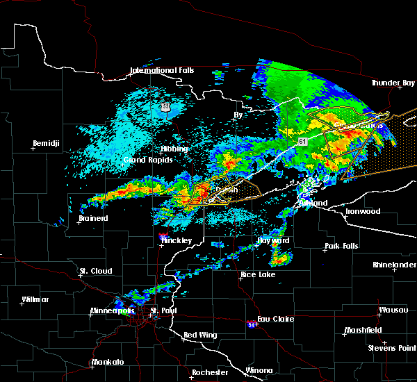 At 1014 pm cdt, severe thunderstorms were located along a line extending from near pike lake near duluth, to near hermantown, to near thomson, moving east at 55 mph (radar indicated. at 1014 pm, quarter size hail was reported at the national weather service). Hazards include golf ball size hail and 70 mph wind gusts. People and animals outdoors will be injured. expect hail damage to roofs, siding, windows, and vehicles. expect considerable tree damage. wind damage is also likely to mobile homes, roofs, and outbuildings. Locations impacted include, duluth, superior, cloquet, hermantown, proctor, scanlon, carlton, oliver, wrenshall, thomson, wisconsin point, pike lake near duluthgolf ball, city of rice lake, french river, island lake, grand lake, fredenberg, irving, cody, and park point. At 1014 pm cdt, severe thunderstorms were located along a line extending from near pike lake near duluth, to near hermantown, to near thomson, moving east at 55 mph (radar indicated. at 1014 pm, quarter size hail was reported at the national weather service). Hazards include golf ball size hail and 70 mph wind gusts. People and animals outdoors will be injured. expect hail damage to roofs, siding, windows, and vehicles. expect considerable tree damage. wind damage is also likely to mobile homes, roofs, and outbuildings. Locations impacted include, duluth, superior, cloquet, hermantown, proctor, scanlon, carlton, oliver, wrenshall, thomson, wisconsin point, pike lake near duluthgolf ball, city of rice lake, french river, island lake, grand lake, fredenberg, irving, cody, and park point.
|
| 8/31/2018 10:14 PM CDT |
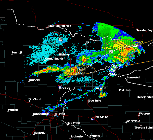 At 1014 pm cdt, severe thunderstorms were located along a line extending from near pike lake near duluth, to near hermantown, to near thomson, moving east at 55 mph (radar indicated. at 1014 pm, quarter size hail was reported at the national weather service). Hazards include golf ball size hail and 70 mph wind gusts. People and animals outdoors will be injured. expect hail damage to roofs, siding, windows, and vehicles. expect considerable tree damage. wind damage is also likely to mobile homes, roofs, and outbuildings. Locations impacted include, duluth, superior, cloquet, hermantown, proctor, scanlon, carlton, oliver, wrenshall, thomson, wisconsin point, pike lake near duluthgolf ball, city of rice lake, french river, island lake, grand lake, fredenberg, irving, cody, and park point. At 1014 pm cdt, severe thunderstorms were located along a line extending from near pike lake near duluth, to near hermantown, to near thomson, moving east at 55 mph (radar indicated. at 1014 pm, quarter size hail was reported at the national weather service). Hazards include golf ball size hail and 70 mph wind gusts. People and animals outdoors will be injured. expect hail damage to roofs, siding, windows, and vehicles. expect considerable tree damage. wind damage is also likely to mobile homes, roofs, and outbuildings. Locations impacted include, duluth, superior, cloquet, hermantown, proctor, scanlon, carlton, oliver, wrenshall, thomson, wisconsin point, pike lake near duluthgolf ball, city of rice lake, french river, island lake, grand lake, fredenberg, irving, cody, and park point.
|
| 8/31/2018 10:02 PM CDT |
 The national weather service in duluth mn has issued a * severe thunderstorm warning for. southeastern st. louis county in northeastern minnesota. northeastern carlton county in northeastern minnesota. northwestern douglas county in northwestern wisconsin. Until 1030 pm cdt. The national weather service in duluth mn has issued a * severe thunderstorm warning for. southeastern st. louis county in northeastern minnesota. northeastern carlton county in northeastern minnesota. northwestern douglas county in northwestern wisconsin. Until 1030 pm cdt.
|
| 8/31/2018 10:02 PM CDT |
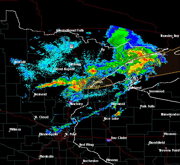 At 1002 pm cdt, severe thunderstorms were located along a line extending from saginaw, to near scanlon, to near carlton, moving east at 55 mph (radar indicated). Hazards include golf ball size hail and 70 mph wind gusts. People and animals outdoors will be injured. expect hail damage to roofs, siding, windows, and vehicles. expect considerable tree damage. Wind damage is also likely to mobile homes, roofs, and outbuildings. At 1002 pm cdt, severe thunderstorms were located along a line extending from saginaw, to near scanlon, to near carlton, moving east at 55 mph (radar indicated). Hazards include golf ball size hail and 70 mph wind gusts. People and animals outdoors will be injured. expect hail damage to roofs, siding, windows, and vehicles. expect considerable tree damage. Wind damage is also likely to mobile homes, roofs, and outbuildings.
|
| 8/31/2018 8:35 PM CDT |
 At 835 pm cdt, severe thunderstorms were located along a line extending from near fairbanks, to near wolf lake, to 7 miles northwest of french river, moving east at 65 mph (radar indicated). Hazards include 70 mph wind gusts and penny size hail. Expect considerable tree damage. damage is likely to mobile homes, roofs, and outbuildings. Locations impacted include, duluth, superior, hermantown, two harbors, fairbanks, wolf lake, boulder lake, larsmont, brimson, whyte, island lake, castle danger, knife river, city of rice lake, thomas lake near brimson, whiteface reservoir, highland lake, french river, irving, and alger. At 835 pm cdt, severe thunderstorms were located along a line extending from near fairbanks, to near wolf lake, to 7 miles northwest of french river, moving east at 65 mph (radar indicated). Hazards include 70 mph wind gusts and penny size hail. Expect considerable tree damage. damage is likely to mobile homes, roofs, and outbuildings. Locations impacted include, duluth, superior, hermantown, two harbors, fairbanks, wolf lake, boulder lake, larsmont, brimson, whyte, island lake, castle danger, knife river, city of rice lake, thomas lake near brimson, whiteface reservoir, highland lake, french river, irving, and alger.
|
| 8/31/2018 8:23 PM CDT |
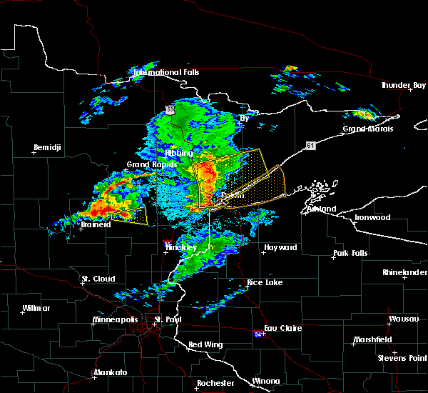 At 812 pm cdt, severe thunderstorms were located along a line extending from 6 miles north of cotton, to near canyon, to near scanlon, moving east at 55 mph. these storms have weakened in the past 15 minutes, but still remain capable of producing widespread damaging winds (radar indicated). Hazards include 70 mph wind gusts and penny size hail. Expect considerable tree damage. damage is likely to mobile homes, roofs, and outbuildings. Locations impacted include, duluth, superior, cloquet, hermantown, two harbors, proctor, scanlon, carlton, cotton, thomson, brookston, fairbanks, wolf lake, boulder lake, brimson, pike lake near duluth, city of rice lake, thomas lake near brimson, whiteface reservoir, and canyon. At 812 pm cdt, severe thunderstorms were located along a line extending from 6 miles north of cotton, to near canyon, to near scanlon, moving east at 55 mph. these storms have weakened in the past 15 minutes, but still remain capable of producing widespread damaging winds (radar indicated). Hazards include 70 mph wind gusts and penny size hail. Expect considerable tree damage. damage is likely to mobile homes, roofs, and outbuildings. Locations impacted include, duluth, superior, cloquet, hermantown, two harbors, proctor, scanlon, carlton, cotton, thomson, brookston, fairbanks, wolf lake, boulder lake, brimson, pike lake near duluth, city of rice lake, thomas lake near brimson, whiteface reservoir, and canyon.
|
| 8/31/2018 8:23 PM CDT |
 At 823 pm cdt, severe thunderstorms were located along a line extending from near whiteface reservoir, to near boulder lake, to proctor, moving east at 55 mph (radar indicated). Hazards include 75 mph wind gusts and penny size hail. Expect considerable tree damage. damage is likely to mobile homes, roofs, and outbuildings. locations impacted include, duluth, superior, cloquet, hermantown, two harbors, proctor, scanlon, carlton, cotton, thomson, fairbanks, wolf lake, boulder lake, brimson, pike lake near duluth, city of rice lake, thomas lake near brimson, whiteface reservoir, french river, and larsmont. Specifically, people in areas between whiteface reservoir and island lake should seek shelter immediately!. At 823 pm cdt, severe thunderstorms were located along a line extending from near whiteface reservoir, to near boulder lake, to proctor, moving east at 55 mph (radar indicated). Hazards include 75 mph wind gusts and penny size hail. Expect considerable tree damage. damage is likely to mobile homes, roofs, and outbuildings. locations impacted include, duluth, superior, cloquet, hermantown, two harbors, proctor, scanlon, carlton, cotton, thomson, fairbanks, wolf lake, boulder lake, brimson, pike lake near duluth, city of rice lake, thomas lake near brimson, whiteface reservoir, french river, and larsmont. Specifically, people in areas between whiteface reservoir and island lake should seek shelter immediately!.
|
| 8/31/2018 8:13 PM CDT |
 At 812 pm cdt, severe thunderstorms were located along a line extending from 6 miles north of cotton, to near canyon, to near scanlon, moving east at 55 mph. these storms have weakened in the past 15 minutes, but still remain capable of producing widespread damaging winds (radar indicated). Hazards include 70 mph wind gusts and penny size hail. Expect considerable tree damage. damage is likely to mobile homes, roofs, and outbuildings. Locations impacted include, duluth, superior, cloquet, hermantown, two harbors, proctor, scanlon, carlton, cotton, thomson, brookston, fairbanks, wolf lake, boulder lake, brimson, pike lake near duluth, city of rice lake, thomas lake near brimson, whiteface reservoir, and canyon. At 812 pm cdt, severe thunderstorms were located along a line extending from 6 miles north of cotton, to near canyon, to near scanlon, moving east at 55 mph. these storms have weakened in the past 15 minutes, but still remain capable of producing widespread damaging winds (radar indicated). Hazards include 70 mph wind gusts and penny size hail. Expect considerable tree damage. damage is likely to mobile homes, roofs, and outbuildings. Locations impacted include, duluth, superior, cloquet, hermantown, two harbors, proctor, scanlon, carlton, cotton, thomson, brookston, fairbanks, wolf lake, boulder lake, brimson, pike lake near duluth, city of rice lake, thomas lake near brimson, whiteface reservoir, and canyon.
|
| 8/31/2018 8:13 PM CDT |
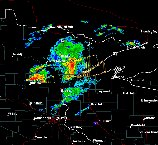 At 812 pm cdt, severe thunderstorms were located along a line extending from 6 miles north of cotton, to near canyon, to near scanlon, moving east at 55 mph. these storms have weakened in the past 15 minutes, but still remain capable of producing widespread damaging winds (radar indicated). Hazards include 70 mph wind gusts and penny size hail. Expect considerable tree damage. damage is likely to mobile homes, roofs, and outbuildings. Locations impacted include, duluth, superior, cloquet, hermantown, two harbors, proctor, scanlon, carlton, cotton, thomson, brookston, fairbanks, wolf lake, boulder lake, brimson, pike lake near duluth, city of rice lake, thomas lake near brimson, whiteface reservoir, and canyon. At 812 pm cdt, severe thunderstorms were located along a line extending from 6 miles north of cotton, to near canyon, to near scanlon, moving east at 55 mph. these storms have weakened in the past 15 minutes, but still remain capable of producing widespread damaging winds (radar indicated). Hazards include 70 mph wind gusts and penny size hail. Expect considerable tree damage. damage is likely to mobile homes, roofs, and outbuildings. Locations impacted include, duluth, superior, cloquet, hermantown, two harbors, proctor, scanlon, carlton, cotton, thomson, brookston, fairbanks, wolf lake, boulder lake, brimson, pike lake near duluth, city of rice lake, thomas lake near brimson, whiteface reservoir, and canyon.
|
| 8/31/2018 8:02 PM CDT |
 At 802 pm cdt, dangerous severe thunderstorms were located along a line extending from near toivola, to near brookston, to 7 miles southwest of cloquet, moving east-northeast at 60 mph. these are very dangerous storms with a history of producing widespread wind damage across aitkin county between 7 and 8 pm (radar indicated). Hazards include 90 mph wind gusts and penny size hail. You are in a life-threatening situation. flying debris may be deadly to those caught without shelter. mobile homes will be heavily damaged or destroyed. homes and businesses will have substantial roof and window damage. Expect extensive tree damage and power outages. At 802 pm cdt, dangerous severe thunderstorms were located along a line extending from near toivola, to near brookston, to 7 miles southwest of cloquet, moving east-northeast at 60 mph. these are very dangerous storms with a history of producing widespread wind damage across aitkin county between 7 and 8 pm (radar indicated). Hazards include 90 mph wind gusts and penny size hail. You are in a life-threatening situation. flying debris may be deadly to those caught without shelter. mobile homes will be heavily damaged or destroyed. homes and businesses will have substantial roof and window damage. Expect extensive tree damage and power outages.
|
| 7/8/2018 5:52 PM CDT |
 At 552 pm cdt, severe thunderstorms were located along a line extending from near two harbors, to near knife river, to near french river, moving east at 40 mph (radar indicated). Hazards include 60 mph wind gusts. Expect damage to roofs, siding, and trees. Locations impacted include, duluth, two harbors, knife river, larsmont, french river, city of rice lake, palmers, congdon park, lakeside-lester park, chester park, lakewood twp, north shore, east hillside, morley hts/parkview, and duluth heights. At 552 pm cdt, severe thunderstorms were located along a line extending from near two harbors, to near knife river, to near french river, moving east at 40 mph (radar indicated). Hazards include 60 mph wind gusts. Expect damage to roofs, siding, and trees. Locations impacted include, duluth, two harbors, knife river, larsmont, french river, city of rice lake, palmers, congdon park, lakeside-lester park, chester park, lakewood twp, north shore, east hillside, morley hts/parkview, and duluth heights.
|
| 7/8/2018 5:41 PM CDT |
 At 540 pm cdt, severe thunderstorms were located along a line extending from near knife river, to near french river, to near city of rice lake, moving east at 40 mph (radar indicated). Hazards include 60 mph wind gusts and half dollar size hail. Hail damage to vehicles is expected. expect wind damage to roofs, siding, and trees. Locations impacted include, duluth, hermantown, two harbors, knife river, city of rice lake, larsmont, french river, pike lake near duluth, wild rice lake, palmers, congdon park, lakeside-lester park, chester park, kenwood, duluth heights, lakewood twp, north shore, east hillside, and morley hts/parkview. At 540 pm cdt, severe thunderstorms were located along a line extending from near knife river, to near french river, to near city of rice lake, moving east at 40 mph (radar indicated). Hazards include 60 mph wind gusts and half dollar size hail. Hail damage to vehicles is expected. expect wind damage to roofs, siding, and trees. Locations impacted include, duluth, hermantown, two harbors, knife river, city of rice lake, larsmont, french river, pike lake near duluth, wild rice lake, palmers, congdon park, lakeside-lester park, chester park, kenwood, duluth heights, lakewood twp, north shore, east hillside, and morley hts/parkview.
|
| 7/8/2018 5:27 PM CDT |
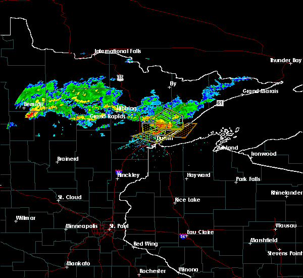 At 527 pm cdt, severe thunderstorms were located along a line extending from 7 miles east of boulder lake, to near city of rice lake, to near saginaw, moving east at 35 mph (radar indicated). Hazards include 60 mph wind gusts and half dollar size hail. Hail damage to vehicles is expected. Expect wind damage to roofs, siding, and trees. At 527 pm cdt, severe thunderstorms were located along a line extending from 7 miles east of boulder lake, to near city of rice lake, to near saginaw, moving east at 35 mph (radar indicated). Hazards include 60 mph wind gusts and half dollar size hail. Hail damage to vehicles is expected. Expect wind damage to roofs, siding, and trees.
|
| 6/30/2018 3:28 AM CDT |
 At 327 am cdt, severe thunderstorms were located along a line extending from 7 miles west of boulder lake, to near proctor, to 6 miles north of duxbury, moving east at 45 mph (radar indicated). Hazards include 60 mph wind gusts and quarter size hail. Hail damage to vehicles is expected. expect wind damage to roofs, siding, and trees. these severe storms will be near, hermantown, proctor and oliver around 335 am cdt. duluth, boulder lake and island lake around 340 am cdt. superior, dairyland, wisconsin point and south range around 345 am cdt. Other locations impacted by these severe thunderstorms include cody, billings park, gary new duluth, duquette, fish lake, moose junction, amnicon lake, banning state park, spirit valley, and jay cooke state park. At 327 am cdt, severe thunderstorms were located along a line extending from 7 miles west of boulder lake, to near proctor, to 6 miles north of duxbury, moving east at 45 mph (radar indicated). Hazards include 60 mph wind gusts and quarter size hail. Hail damage to vehicles is expected. expect wind damage to roofs, siding, and trees. these severe storms will be near, hermantown, proctor and oliver around 335 am cdt. duluth, boulder lake and island lake around 340 am cdt. superior, dairyland, wisconsin point and south range around 345 am cdt. Other locations impacted by these severe thunderstorms include cody, billings park, gary new duluth, duquette, fish lake, moose junction, amnicon lake, banning state park, spirit valley, and jay cooke state park.
|
| 6/30/2018 3:16 AM CDT |
 At 315 am cdt, severe thunderstorms were located along a line extending from near canyon, to scanlon, to near bruno, moving east at 45 mph (radar indicated). Hazards include 60 mph wind gusts and quarter size hail. Hail damage to vehicles is expected. expect wind damage to roofs, siding, and trees. these severe storms will be near, carlton, wrenshall and thomson around 320 am cdt. hermantown and proctor around 330 am cdt. oliver, boulder lake and cloverton around 335 am cdt. superior and island lake around 340 am cdt. dairyland, wisconsin point and south range around 345 am cdt. Other locations impacted by these severe thunderstorms include cody, billings park, gary new duluth, duquette, fish lake, moose junction, amnicon lake, banning state park, spirit valley, and jay cooke state park. At 315 am cdt, severe thunderstorms were located along a line extending from near canyon, to scanlon, to near bruno, moving east at 45 mph (radar indicated). Hazards include 60 mph wind gusts and quarter size hail. Hail damage to vehicles is expected. expect wind damage to roofs, siding, and trees. these severe storms will be near, carlton, wrenshall and thomson around 320 am cdt. hermantown and proctor around 330 am cdt. oliver, boulder lake and cloverton around 335 am cdt. superior and island lake around 340 am cdt. dairyland, wisconsin point and south range around 345 am cdt. Other locations impacted by these severe thunderstorms include cody, billings park, gary new duluth, duquette, fish lake, moose junction, amnicon lake, banning state park, spirit valley, and jay cooke state park.
|
| 6/30/2018 3:00 AM CDT |
 At 259 am cdt, severe thunderstorms were located along a line extending from near meadowlands, to 6 miles southwest of fond du lac reservation, to near askov, moving east at 45 mph (radar indicated). Hazards include 60 mph wind gusts and quarter size hail. Hail damage to vehicles is expected. expect wind damage to roofs, siding, and trees. severe thunderstorms will be near, cloquet around 310 am cdt. scanlon, fond du lac reservation and canyon around 315 am cdt. carlton, wrenshall and thomson around 320 am cdt. hermantown, proctor and oliver around 330 am cdt. boulder lake, cloverton and island lake around 335 am cdt. duluth and superior around 340 am cdt. dairyland, wisconsin point and south range around 345 am cdt. Other locations impacted by these severe thunderstorms include cody, billings park, gary new duluth, duquette, fish lake, moose junction, amnicon lake, banning state park, spirit valley, and jay cooke state park. At 259 am cdt, severe thunderstorms were located along a line extending from near meadowlands, to 6 miles southwest of fond du lac reservation, to near askov, moving east at 45 mph (radar indicated). Hazards include 60 mph wind gusts and quarter size hail. Hail damage to vehicles is expected. expect wind damage to roofs, siding, and trees. severe thunderstorms will be near, cloquet around 310 am cdt. scanlon, fond du lac reservation and canyon around 315 am cdt. carlton, wrenshall and thomson around 320 am cdt. hermantown, proctor and oliver around 330 am cdt. boulder lake, cloverton and island lake around 335 am cdt. duluth and superior around 340 am cdt. dairyland, wisconsin point and south range around 345 am cdt. Other locations impacted by these severe thunderstorms include cody, billings park, gary new duluth, duquette, fish lake, moose junction, amnicon lake, banning state park, spirit valley, and jay cooke state park.
|
| 6/17/2018 2:31 PM CDT |
 At 231 pm cdt, severe thunderstorms were located along a line extending from near french river, to near proctor, moving east at 30 mph (radar indicated). Hazards include 70 mph wind gusts and quarter size hail. Hail damage to vehicles is expected. expect considerable tree damage. wind damage is also likely to mobile homes, roofs, and outbuildings. locations impacted include, duluth, superior, hermantown, proctor, oliver, south range, wisconsin point, city of rice lake, french river, irving, cody, park point, billings park, gary new duluth, morgan park, palmers, lakeside-lester park, spirit valley, central hillside, and norton park. A tornado watch remains in effect until 900 pm cdt for northeastern minnesota, and northwestern wisconsin. At 231 pm cdt, severe thunderstorms were located along a line extending from near french river, to near proctor, moving east at 30 mph (radar indicated). Hazards include 70 mph wind gusts and quarter size hail. Hail damage to vehicles is expected. expect considerable tree damage. wind damage is also likely to mobile homes, roofs, and outbuildings. locations impacted include, duluth, superior, hermantown, proctor, oliver, south range, wisconsin point, city of rice lake, french river, irving, cody, park point, billings park, gary new duluth, morgan park, palmers, lakeside-lester park, spirit valley, central hillside, and norton park. A tornado watch remains in effect until 900 pm cdt for northeastern minnesota, and northwestern wisconsin.
|
| 6/17/2018 2:16 PM CDT |
 At 215 pm cdt, severe thunderstorms were located along a line extending from near the city of rice lake, to scanlon, moving east at 30 mph (radar indicated). Hazards include 70 mph wind gusts and quarter size hail. Hail damage to vehicles is expected. expect considerable tree damage. Wind damage is also likely to mobile homes, roofs, and outbuildings. At 215 pm cdt, severe thunderstorms were located along a line extending from near the city of rice lake, to scanlon, moving east at 30 mph (radar indicated). Hazards include 70 mph wind gusts and quarter size hail. Hail damage to vehicles is expected. expect considerable tree damage. Wind damage is also likely to mobile homes, roofs, and outbuildings.
|
| 6/17/2018 2:16 PM CDT |
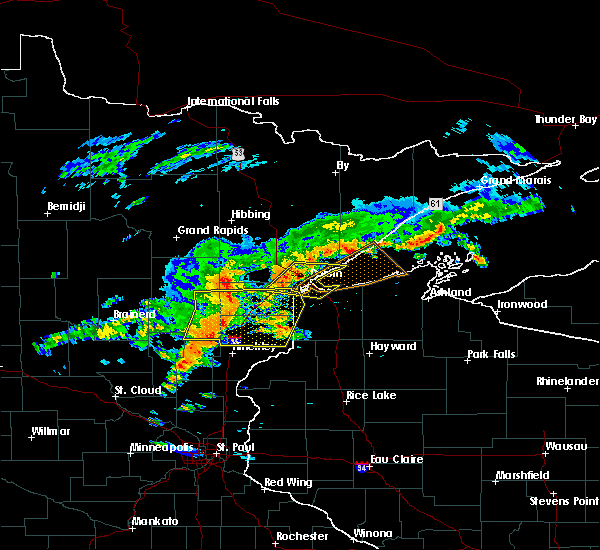 At 215 pm cdt, severe thunderstorms were located along a line extending from near the city of rice lake, to scanlon, moving east at 30 mph (radar indicated). Hazards include 70 mph wind gusts and quarter size hail. Hail damage to vehicles is expected. expect considerable tree damage. Wind damage is also likely to mobile homes, roofs, and outbuildings. At 215 pm cdt, severe thunderstorms were located along a line extending from near the city of rice lake, to scanlon, moving east at 30 mph (radar indicated). Hazards include 70 mph wind gusts and quarter size hail. Hail damage to vehicles is expected. expect considerable tree damage. Wind damage is also likely to mobile homes, roofs, and outbuildings.
|
| 6/17/2018 1:53 PM CDT |
 At 153 pm cdt, a severe thunderstorm was located over pike lake near duluth, or 11 miles northeast of cloquet, moving east at 30 mph (radar indicated). Hazards include 70 mph wind gusts and quarter size hail. Hail damage to vehicles is expected. expect considerable tree damage. Wind damage is also likely to mobile homes, roofs, and outbuildings. At 153 pm cdt, a severe thunderstorm was located over pike lake near duluth, or 11 miles northeast of cloquet, moving east at 30 mph (radar indicated). Hazards include 70 mph wind gusts and quarter size hail. Hail damage to vehicles is expected. expect considerable tree damage. Wind damage is also likely to mobile homes, roofs, and outbuildings.
|
| 6/15/2018 12:45 PM CDT |
 At 1245 pm cdt, severe thunderstorms were located along a line extending from 6 miles east of island lake, to near duluth, to near oliver, moving east at 50 mph (radar indicated). Hazards include 60 mph wind gusts. Expect damage to roofs, siding, and trees. Locations impacted include, duluth, superior, cloquet, hermantown, proctor, scanlon, pike lake near duluth, city of rice lake, french river, island lake, grand lake, fredenberg, irving, cody, billings park, morgan park, palmers, fish lake, lakeside-lester park, and spirit valley. At 1245 pm cdt, severe thunderstorms were located along a line extending from 6 miles east of island lake, to near duluth, to near oliver, moving east at 50 mph (radar indicated). Hazards include 60 mph wind gusts. Expect damage to roofs, siding, and trees. Locations impacted include, duluth, superior, cloquet, hermantown, proctor, scanlon, pike lake near duluth, city of rice lake, french river, island lake, grand lake, fredenberg, irving, cody, billings park, morgan park, palmers, fish lake, lakeside-lester park, and spirit valley.
|
| 6/15/2018 12:45 PM CDT |
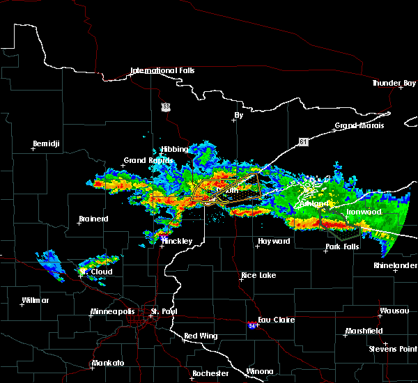 At 1245 pm cdt, severe thunderstorms were located along a line extending from 6 miles east of island lake, to near duluth, to near oliver, moving east at 50 mph (radar indicated). Hazards include 60 mph wind gusts. Expect damage to roofs, siding, and trees. Locations impacted include, duluth, superior, cloquet, hermantown, proctor, scanlon, pike lake near duluth, city of rice lake, french river, island lake, grand lake, fredenberg, irving, cody, billings park, morgan park, palmers, fish lake, lakeside-lester park, and spirit valley. At 1245 pm cdt, severe thunderstorms were located along a line extending from 6 miles east of island lake, to near duluth, to near oliver, moving east at 50 mph (radar indicated). Hazards include 60 mph wind gusts. Expect damage to roofs, siding, and trees. Locations impacted include, duluth, superior, cloquet, hermantown, proctor, scanlon, pike lake near duluth, city of rice lake, french river, island lake, grand lake, fredenberg, irving, cody, billings park, morgan park, palmers, fish lake, lakeside-lester park, and spirit valley.
|
| 6/15/2018 12:31 PM CDT |
 At 1231 pm cdt, severe thunderstorms were located along a line extending from 6 miles east of canyon, to near saginaw, to cloquet, moving east at 50 mph (radar indicated). Hazards include 60 mph wind gusts and penny size hail. expect damage to roofs, siding, and trees At 1231 pm cdt, severe thunderstorms were located along a line extending from 6 miles east of canyon, to near saginaw, to cloquet, moving east at 50 mph (radar indicated). Hazards include 60 mph wind gusts and penny size hail. expect damage to roofs, siding, and trees
|
| 9/22/2017 7:33 AM CDT |
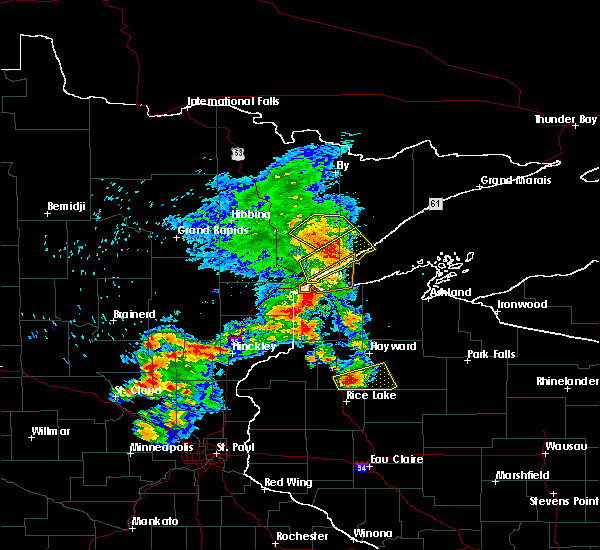 At 732 am cdt, a severe thunderstorm was located near two harbors, or 15 miles west of split rock lighthouse state park, moving northeast at 50 mph (radar indicated. at 710 am a gust to 61 mph was reported at the duluth international airport). Hazards include 60 mph wind gusts. Expect damage to roofs, siding, and trees. Locations impacted include, duluth, two harbors, castle danger, knife river, thomas lake near brimson, larsmont, highland lake, french river, island lake, alger, wales, palmers, congdon park, city of rice lake, central hillside, chester park, lakeside-lester park, kenwood, gooseberry falls state park, and lakewood twp. At 732 am cdt, a severe thunderstorm was located near two harbors, or 15 miles west of split rock lighthouse state park, moving northeast at 50 mph (radar indicated. at 710 am a gust to 61 mph was reported at the duluth international airport). Hazards include 60 mph wind gusts. Expect damage to roofs, siding, and trees. Locations impacted include, duluth, two harbors, castle danger, knife river, thomas lake near brimson, larsmont, highland lake, french river, island lake, alger, wales, palmers, congdon park, city of rice lake, central hillside, chester park, lakeside-lester park, kenwood, gooseberry falls state park, and lakewood twp.
|
| 9/22/2017 7:14 AM CDT |
 At 713 am cdt, a severe thunderstorm was located near french river, or 12 miles northeast of duluth, moving northeast at 45 mph. a gust to 61 mph was reported at the duluth international airport (radar indicated). Hazards include 65 mph wind gusts and penny size hail. expect damage to roofs, siding, and trees At 713 am cdt, a severe thunderstorm was located near french river, or 12 miles northeast of duluth, moving northeast at 45 mph. a gust to 61 mph was reported at the duluth international airport (radar indicated). Hazards include 65 mph wind gusts and penny size hail. expect damage to roofs, siding, and trees
|
| 9/22/2017 6:49 AM CDT |
 At 649 am cdt, a severe thunderstorm was located near hermantown, or 8 miles northeast of cloquet, moving northeast at 50 mph (radar indicated). Hazards include 60 mph wind gusts and quarter size hail. Hail damage to vehicles is expected. expect wind damage to roofs, siding, and trees. Locations impacted include, duluth, superior, cloquet, hermantown, proctor, scanlon, carlton, mahtowa, wrenshall, oliver, thomson, pike lake near duluth, saginaw, island lake, boulder lake, grand lake, fredenberg, mahnomen, irving, and cody. At 649 am cdt, a severe thunderstorm was located near hermantown, or 8 miles northeast of cloquet, moving northeast at 50 mph (radar indicated). Hazards include 60 mph wind gusts and quarter size hail. Hail damage to vehicles is expected. expect wind damage to roofs, siding, and trees. Locations impacted include, duluth, superior, cloquet, hermantown, proctor, scanlon, carlton, mahtowa, wrenshall, oliver, thomson, pike lake near duluth, saginaw, island lake, boulder lake, grand lake, fredenberg, mahnomen, irving, and cody.
|
| 9/22/2017 6:41 AM CDT |
 At 641 am cdt, a severe thunderstorm was located over cloquet, moving northeast at 45 mph (radar indicated). Hazards include 60 mph wind gusts and quarter size hail. Hail damage to vehicles is expected. Expect wind damage to roofs, siding, and trees. At 641 am cdt, a severe thunderstorm was located over cloquet, moving northeast at 45 mph (radar indicated). Hazards include 60 mph wind gusts and quarter size hail. Hail damage to vehicles is expected. Expect wind damage to roofs, siding, and trees.
|
| 9/20/2017 3:32 AM CDT |
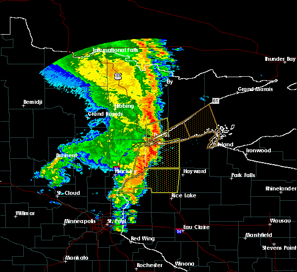 At 331 am cdt, a severe thunderstorm was located near french river, or 11 miles northeast of duluth, moving northeast at 55 mph (radar indicated). Hazards include 60 mph wind gusts and penny size hail. Expect damage to roofs, siding, and trees. Locations impacted include, duluth, superior, hermantown, proctor, boulder lake, island lake, french river, fredenberg, irving, cody, morgan park, palmers, spirit valley, central hillside, norton park, lakeside-lester park, piedmont heights, duluth heights, lincoln park, and denfeld. At 331 am cdt, a severe thunderstorm was located near french river, or 11 miles northeast of duluth, moving northeast at 55 mph (radar indicated). Hazards include 60 mph wind gusts and penny size hail. Expect damage to roofs, siding, and trees. Locations impacted include, duluth, superior, hermantown, proctor, boulder lake, island lake, french river, fredenberg, irving, cody, morgan park, palmers, spirit valley, central hillside, norton park, lakeside-lester park, piedmont heights, duluth heights, lincoln park, and denfeld.
|
| 9/20/2017 3:24 AM CDT |
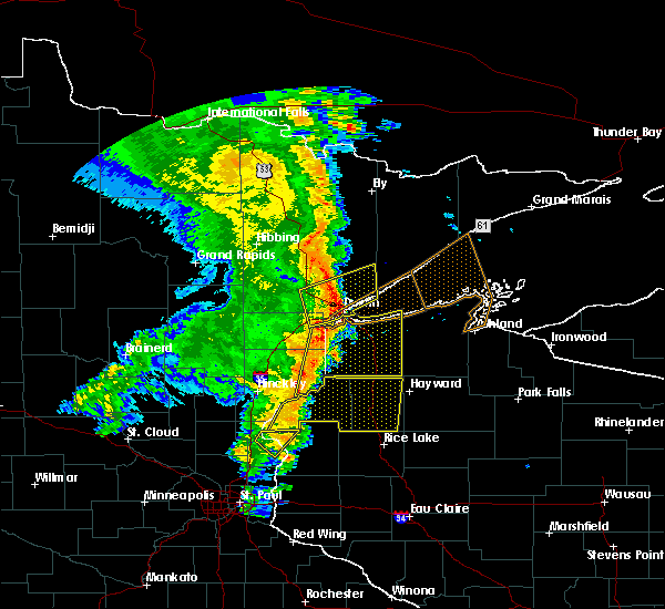 At 324 am cdt, a severe thunderstorm was located over the city of rice lake and duluth, moving northeast at 50 mph (radar indicated). Hazards include 60 mph wind gusts and penny size hail. Expect damage to roofs, siding, and trees. Locations impacted include, duluth, superior, hermantown, proctor, boulder lake, island lake, pike lake near duluth, french river, fredenberg, irving, cody, morgan park, palmers, fish lake, spirit valley, central hillside, norton park, lakeside-lester park, piedmont heights, and duluth heights. At 324 am cdt, a severe thunderstorm was located over the city of rice lake and duluth, moving northeast at 50 mph (radar indicated). Hazards include 60 mph wind gusts and penny size hail. Expect damage to roofs, siding, and trees. Locations impacted include, duluth, superior, hermantown, proctor, boulder lake, island lake, pike lake near duluth, french river, fredenberg, irving, cody, morgan park, palmers, fish lake, spirit valley, central hillside, norton park, lakeside-lester park, piedmont heights, and duluth heights.
|
| 9/20/2017 3:10 AM CDT |
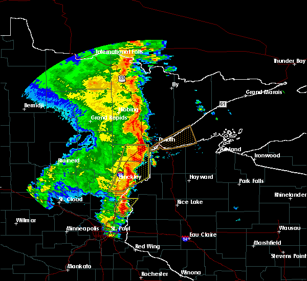 At 309 am cdt, severe thunderstorms were located along a line extending from near saginaw, to thomson, moving northeast at 55 mph (radar indicated). Hazards include 60 mph wind gusts and penny size hail. expect damage to roofs, siding, and trees At 309 am cdt, severe thunderstorms were located along a line extending from near saginaw, to thomson, moving northeast at 55 mph (radar indicated). Hazards include 60 mph wind gusts and penny size hail. expect damage to roofs, siding, and trees
|
| 7/21/2017 8:32 PM CDT |
 At 832 pm cdt, a severe thunderstorm was located over wrenshall, or 9 miles southeast of cloquet, moving east at 35 mph (radar indicated). Hazards include 60 mph wind gusts and penny size hail. Expect damage to roofs, siding, and trees. this severe storm will be near, foxboro around 845 pm cdt. Other locations impacted by this severe thunderstorm include pleasant valley, gary new duluth, munger, morgan park, sawyer, fond du lac, mahnomen, jay cooke state park, norton park, and esko. At 832 pm cdt, a severe thunderstorm was located over wrenshall, or 9 miles southeast of cloquet, moving east at 35 mph (radar indicated). Hazards include 60 mph wind gusts and penny size hail. Expect damage to roofs, siding, and trees. this severe storm will be near, foxboro around 845 pm cdt. Other locations impacted by this severe thunderstorm include pleasant valley, gary new duluth, munger, morgan park, sawyer, fond du lac, mahnomen, jay cooke state park, norton park, and esko.
|
| 7/21/2017 8:20 PM CDT |
 At 820 pm cdt, a severe thunderstorm was located near carlton, or near cloquet, moving east at 30 mph (radar indicated). Hazards include 60 mph wind gusts and penny size hail. Expect damage to roofs, siding, and trees. this severe storm will be near, scanlon around 825 pm cdt. carlton around 830 pm cdt. wrenshall and thomson around 835 pm cdt. oliver and foxboro around 845 pm cdt. Other locations impacted by this severe thunderstorm include gowan, cody, grand lake, pleasant valley, gary new duluth, munger, morgan park, sawyer, spirit valley, and fond du lac. At 820 pm cdt, a severe thunderstorm was located near carlton, or near cloquet, moving east at 30 mph (radar indicated). Hazards include 60 mph wind gusts and penny size hail. Expect damage to roofs, siding, and trees. this severe storm will be near, scanlon around 825 pm cdt. carlton around 830 pm cdt. wrenshall and thomson around 835 pm cdt. oliver and foxboro around 845 pm cdt. Other locations impacted by this severe thunderstorm include gowan, cody, grand lake, pleasant valley, gary new duluth, munger, morgan park, sawyer, spirit valley, and fond du lac.
|
| 7/21/2017 7:59 PM CDT |
 At 757 pm cdt, a severe thunderstorm was located near cromwell, or 12 miles west of cloquet, moving east at 35 mph (radar indicated). Hazards include 60 mph wind gusts and nickel size hail. Expect damage to roofs, siding, and trees. this severe thunderstorm will be near, mahtowa and barnum around 810 pm cdt. scanlon around 820 pm cdt. carlton, wrenshall and thomson around 825 pm cdt. holyoke around 830 pm cdt. oliver and foxboro around 840 pm cdt. Other locations impacted by this severe thunderstorm include gowan, cody, grand lake, gary new duluth, morgan park, wright, sawyer, spirit valley, jay cooke state park, and norton park. At 757 pm cdt, a severe thunderstorm was located near cromwell, or 12 miles west of cloquet, moving east at 35 mph (radar indicated). Hazards include 60 mph wind gusts and nickel size hail. Expect damage to roofs, siding, and trees. this severe thunderstorm will be near, mahtowa and barnum around 810 pm cdt. scanlon around 820 pm cdt. carlton, wrenshall and thomson around 825 pm cdt. holyoke around 830 pm cdt. oliver and foxboro around 840 pm cdt. Other locations impacted by this severe thunderstorm include gowan, cody, grand lake, gary new duluth, morgan park, wright, sawyer, spirit valley, jay cooke state park, and norton park.
|
| 7/21/2017 7:27 PM CDT |
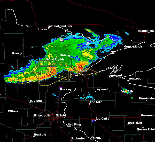 At 726 pm cdt, a severe thunderstorm was located near arnold, or 7 miles northeast of duluth, moving southeast at 35 mph (radar indicated. at 720 pm trees were damaged on fish lake). Hazards include 70 mph wind gusts and quarter size hail. Hail damage to vehicles is expected. expect considerable tree damage. wind damage is also likely to mobile homes, roofs, and outbuildings. Locations impacted include, duluth, hermantown, island lake, french river, boulder lake, fredenberg, wild rice lake, palmers, congdon park, fish lake, city of rice lake, central hillside, chester park, lakeside-lester park, kenwood, duluth heights, lakewood twp, east hillside, north shore, and morley hts/parkview. At 726 pm cdt, a severe thunderstorm was located near arnold, or 7 miles northeast of duluth, moving southeast at 35 mph (radar indicated. at 720 pm trees were damaged on fish lake). Hazards include 70 mph wind gusts and quarter size hail. Hail damage to vehicles is expected. expect considerable tree damage. wind damage is also likely to mobile homes, roofs, and outbuildings. Locations impacted include, duluth, hermantown, island lake, french river, boulder lake, fredenberg, wild rice lake, palmers, congdon park, fish lake, city of rice lake, central hillside, chester park, lakeside-lester park, kenwood, duluth heights, lakewood twp, east hillside, north shore, and morley hts/parkview.
|
| 7/21/2017 7:14 PM CDT |
 At 712 pm cdt, a severe thunderstorm was located near the city of rice lake, or 10 miles north of duluth, moving southeast at 35 mph (radar indicated. wind damage has been reported around fish lake). Hazards include 70 mph wind gusts and quarter size hail. Hail damage to vehicles is expected. expect considerable tree damage. wind damage is also likely to mobile homes, roofs, and outbuildings. Locations impacted include, duluth, hermantown, island lake, pike lake near duluth, french river, boulder lake, fredenberg, wild rice lake, palmers, congdon park, fish lake, city of rice lake, central hillside, chester park, lakeside-lester park, kenwood, duluth heights, lakewood twp, lincoln park, and east hillside. At 712 pm cdt, a severe thunderstorm was located near the city of rice lake, or 10 miles north of duluth, moving southeast at 35 mph (radar indicated. wind damage has been reported around fish lake). Hazards include 70 mph wind gusts and quarter size hail. Hail damage to vehicles is expected. expect considerable tree damage. wind damage is also likely to mobile homes, roofs, and outbuildings. Locations impacted include, duluth, hermantown, island lake, pike lake near duluth, french river, boulder lake, fredenberg, wild rice lake, palmers, congdon park, fish lake, city of rice lake, central hillside, chester park, lakeside-lester park, kenwood, duluth heights, lakewood twp, lincoln park, and east hillside.
|
| 7/21/2017 6:59 PM CDT |
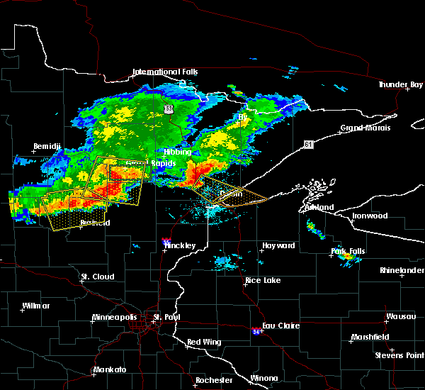 At 658 pm cdt, a severe thunderstorm was located near canyon, or 17 miles northwest of duluth, moving southeast at 35 mph (radar indicated). Hazards include 70 mph wind gusts and quarter size hail. Hail damage to vehicles is expected. expect considerable tree damage. wind damage is also likely to mobile homes, roofs, and outbuildings. Numerous reports of tree damage and strong winds have bee reported with this storm. At 658 pm cdt, a severe thunderstorm was located near canyon, or 17 miles northwest of duluth, moving southeast at 35 mph (radar indicated). Hazards include 70 mph wind gusts and quarter size hail. Hail damage to vehicles is expected. expect considerable tree damage. wind damage is also likely to mobile homes, roofs, and outbuildings. Numerous reports of tree damage and strong winds have bee reported with this storm.
|
| 7/21/2017 6:51 PM CDT |
 At 650 pm cdt, a severe thunderstorm was located near canyon, or 18 miles north of cloquet, moving southeast at 45 mph (radar indicated. at 635 pm wind damage with trees knocked over was reported east of meadowlands). Hazards include 70 mph wind gusts and penny size hail. Expect considerable tree damage. damage is likely to mobile homes, roofs, and outbuildings. Locations impacted include, duluth, hermantown, cotton, island lake, pike lake near duluth, canyon, saginaw, boulder lake, city of rice lake, grand lake, fredenberg, alborn, culver, wild rice lake, twig, munger, burnett, payne, fish lake, and shaw. At 650 pm cdt, a severe thunderstorm was located near canyon, or 18 miles north of cloquet, moving southeast at 45 mph (radar indicated. at 635 pm wind damage with trees knocked over was reported east of meadowlands). Hazards include 70 mph wind gusts and penny size hail. Expect considerable tree damage. damage is likely to mobile homes, roofs, and outbuildings. Locations impacted include, duluth, hermantown, cotton, island lake, pike lake near duluth, canyon, saginaw, boulder lake, city of rice lake, grand lake, fredenberg, alborn, culver, wild rice lake, twig, munger, burnett, payne, fish lake, and shaw.
|
| 7/21/2017 6:34 PM CDT |
 At 632 pm cdt, a severe thunderstorm was located near meadowlands, or 25 miles southeast of hibbing, moving southeast at 45 mph. wind damage has been reported 1 mile southeast of toivola, and near zim (radar indicated). Hazards include 70 mph wind gusts and penny size hail. Expect considerable tree damage. Damage is likely to mobile homes, roofs, and outbuildings. At 632 pm cdt, a severe thunderstorm was located near meadowlands, or 25 miles southeast of hibbing, moving southeast at 45 mph. wind damage has been reported 1 mile southeast of toivola, and near zim (radar indicated). Hazards include 70 mph wind gusts and penny size hail. Expect considerable tree damage. Damage is likely to mobile homes, roofs, and outbuildings.
|
| 7/6/2017 5:52 AM CDT |
 At 552 am cdt, strong to severe thunderstorms were located along a line extending from near whiteface reservoir, to duluth, to 7 miles northwest of dairyland, moving east at 30 mph (radar indicated). Hazards include storms have weakened in the past 15 minutes but remain capable of isolated 60 mph wind gusts. Expect damage to roofs, siding, and trees. Locations impacted include, duluth, superior, cloquet, hermantown, proctor, hawthorne, scanlon, carlton, poplar in douglas county, solon springs, cotton, wrenshall, oliver, gordon, holyoke, thomson, wolf lake, boulder lake, brimson, and wisconsin point. At 552 am cdt, strong to severe thunderstorms were located along a line extending from near whiteface reservoir, to duluth, to 7 miles northwest of dairyland, moving east at 30 mph (radar indicated). Hazards include storms have weakened in the past 15 minutes but remain capable of isolated 60 mph wind gusts. Expect damage to roofs, siding, and trees. Locations impacted include, duluth, superior, cloquet, hermantown, proctor, hawthorne, scanlon, carlton, poplar in douglas county, solon springs, cotton, wrenshall, oliver, gordon, holyoke, thomson, wolf lake, boulder lake, brimson, and wisconsin point.
|
| 7/6/2017 5:31 AM CDT |
 At 531 am cdt, severe thunderstorms were located along a line extending from 6 miles northeast of cotton, to near hermantown, to 8 miles south of holyoke, moving east at 55 mph (radar indicated). Hazards include 60 mph wind gusts and penny size hail. expect damage to roofs, siding, and trees At 531 am cdt, severe thunderstorms were located along a line extending from 6 miles northeast of cotton, to near hermantown, to 8 miles south of holyoke, moving east at 55 mph (radar indicated). Hazards include 60 mph wind gusts and penny size hail. expect damage to roofs, siding, and trees
|
| 7/6/2017 5:17 AM CDT |
 At 515 am cdt, severe thunderstorms were located along a line extending from near toivola, to near cloquet, to near bruno, moving east at 50 mph (radar indicated). Hazards include 70 mph wind gusts and quarter size hail. Hail damage to vehicles is expected. expect considerable tree damage. wind damage is also likely to mobile homes, roofs, and outbuildings. Locations impacted include, duluth, superior, cloquet, hermantown, proctor, scanlon, carlton, mahtowa, barnum, floodwood, cotton, willow river, wrenshall, oliver, cromwell, holyoke, kettle river, toivola, thomson, and brookston. At 515 am cdt, severe thunderstorms were located along a line extending from near toivola, to near cloquet, to near bruno, moving east at 50 mph (radar indicated). Hazards include 70 mph wind gusts and quarter size hail. Hail damage to vehicles is expected. expect considerable tree damage. wind damage is also likely to mobile homes, roofs, and outbuildings. Locations impacted include, duluth, superior, cloquet, hermantown, proctor, scanlon, carlton, mahtowa, barnum, floodwood, cotton, willow river, wrenshall, oliver, cromwell, holyoke, kettle river, toivola, thomson, and brookston.
|
| 7/6/2017 5:02 AM CDT |
 At 502 am cdt, severe thunderstorms were located along a line extending from 8 miles west of toivola, to 6 miles north of cromwell, to 6 miles west of willow river, moving east at 50 mph (radar indicated). Hazards include 70 mph wind gusts and quarter size hail. Hail damage to vehicles is expected. expect considerable tree damage. wind damage is also likely to mobile homes, roofs, and outbuildings. locations impacted include, duluth, superior, cloquet, hermantown, proctor, scanlon, carlton, swan river, mahtowa, barnum, floodwood, cotton, willow river, wrenshall, oliver, cromwell, holyoke, warba, kettle river, and toivola. This also includes interstate 35 between barnum and duluth and state highway 61 between duluth and two harbors. At 502 am cdt, severe thunderstorms were located along a line extending from 8 miles west of toivola, to 6 miles north of cromwell, to 6 miles west of willow river, moving east at 50 mph (radar indicated). Hazards include 70 mph wind gusts and quarter size hail. Hail damage to vehicles is expected. expect considerable tree damage. wind damage is also likely to mobile homes, roofs, and outbuildings. locations impacted include, duluth, superior, cloquet, hermantown, proctor, scanlon, carlton, swan river, mahtowa, barnum, floodwood, cotton, willow river, wrenshall, oliver, cromwell, holyoke, warba, kettle river, and toivola. This also includes interstate 35 between barnum and duluth and state highway 61 between duluth and two harbors.
|
| 7/6/2017 4:44 AM CDT |
 At 443 am cdt, severe thunderstorms were located along a line extending from near warba, to 6 miles north of tamarack, to 6 miles north of mcgrath, moving east at 50 mph (radar indicated). Hazards include 70 mph wind gusts and quarter size hail. Hail damage to vehicles is expected. expect considerable tree damage. Wind damage is also likely to mobile homes, roofs, and outbuildings. At 443 am cdt, severe thunderstorms were located along a line extending from near warba, to 6 miles north of tamarack, to 6 miles north of mcgrath, moving east at 50 mph (radar indicated). Hazards include 70 mph wind gusts and quarter size hail. Hail damage to vehicles is expected. expect considerable tree damage. Wind damage is also likely to mobile homes, roofs, and outbuildings.
|
| 8/4/2016 4:43 AM CDT |
 At 441 am cdt, severe thunderstorms were located along a line extending from 6 miles east of boulder lake, to near south range, moving east at 50 mph. these are very dangerous storms (radar indicated). Hazards include 80 mph wind gusts and penny size hail. Flying debris will be dangerous to those caught without shelter. mobile homes will be heavily damaged. expect considerable damage to roofs, windows, and vehicles. extensive tree damage and power outages are likely. these severe storms will be near, hawthorne around 450 am cdt. poplar in douglas county around 455 am cdt. two harbors and maple around 500 am cdt. Other locations impacted by these severe thunderstorms include billings park, lakewood twp, pattison state park, chester park, kenwood, wentworth, morley hts/parkview, patzau, waino and east hillside. At 441 am cdt, severe thunderstorms were located along a line extending from 6 miles east of boulder lake, to near south range, moving east at 50 mph. these are very dangerous storms (radar indicated). Hazards include 80 mph wind gusts and penny size hail. Flying debris will be dangerous to those caught without shelter. mobile homes will be heavily damaged. expect considerable damage to roofs, windows, and vehicles. extensive tree damage and power outages are likely. these severe storms will be near, hawthorne around 450 am cdt. poplar in douglas county around 455 am cdt. two harbors and maple around 500 am cdt. Other locations impacted by these severe thunderstorms include billings park, lakewood twp, pattison state park, chester park, kenwood, wentworth, morley hts/parkview, patzau, waino and east hillside.
|
| 8/4/2016 4:37 AM CDT |
 At 434 am cdt, severe thunderstorms were located along a line extending from boulder lake, to near oliver, moving east at 50 mph (radar indicated). Hazards include 70 mph wind gusts and penny size hail. Expect considerable tree damage. damage is likely to mobile homes, roofs, and outbuildings. these severe storms will be near, south range and wisconsin point around 445 am cdt. hawthorne around 450 am cdt. poplar in douglas county around 455 am cdt. two harbors, lake nebagamon and maple around 500 am cdt. Other locations impacted by these severe thunderstorms include prosit, billings park, lakewood twp, pattison state park, chester park, wentworth, morley hts/parkview, alborn, patzau and waino. At 434 am cdt, severe thunderstorms were located along a line extending from boulder lake, to near oliver, moving east at 50 mph (radar indicated). Hazards include 70 mph wind gusts and penny size hail. Expect considerable tree damage. damage is likely to mobile homes, roofs, and outbuildings. these severe storms will be near, south range and wisconsin point around 445 am cdt. hawthorne around 450 am cdt. poplar in douglas county around 455 am cdt. two harbors, lake nebagamon and maple around 500 am cdt. Other locations impacted by these severe thunderstorms include prosit, billings park, lakewood twp, pattison state park, chester park, wentworth, morley hts/parkview, alborn, patzau and waino.
|
| 8/4/2016 4:15 AM CDT |
 At 414 am cdt, severe thunderstorms were located along a line extending from canyon, to near nemadji, moving east at 50 mph (radar indicated). Hazards include 70 mph wind gusts and penny size hail. Expect considerable tree damage. damage is likely to mobile homes, roofs, and outbuildings. severe thunderstorms will be near, foxboro around 425 am cdt. duluth and boulder lake around 430 am cdt. superior around 440 am cdt. hawthorne around 450 am cdt. poplar in douglas county around 455 am cdt. two harbors, lake nebagamon, maple and brule around 500 am cdt. Other locations impacted by these severe thunderstorms include prosit, billings park, lakewood twp, pattison state park, chester park, wentworth, morley hts/parkview, alborn, patzau and waino. At 414 am cdt, severe thunderstorms were located along a line extending from canyon, to near nemadji, moving east at 50 mph (radar indicated). Hazards include 70 mph wind gusts and penny size hail. Expect considerable tree damage. damage is likely to mobile homes, roofs, and outbuildings. severe thunderstorms will be near, foxboro around 425 am cdt. duluth and boulder lake around 430 am cdt. superior around 440 am cdt. hawthorne around 450 am cdt. poplar in douglas county around 455 am cdt. two harbors, lake nebagamon, maple and brule around 500 am cdt. Other locations impacted by these severe thunderstorms include prosit, billings park, lakewood twp, pattison state park, chester park, wentworth, morley hts/parkview, alborn, patzau and waino.
|
| 7/21/2016 3:53 AM CDT |
 At 352 am cdt, severe thunderstorms were located along a line extending from near brimson, to south range, moving east at 45 mph. these are very dangerous storms (trained weather spotters). Hazards include 80 mph wind gusts and half dollar size hail. Flying debris will be dangerous to those caught without shelter. mobile homes will be heavily damaged. expect considerable damage to roofs, windows, and vehicles. extensive tree damage and power outages are likely. severe thunderstorms will be near, brimson around 355 am cdt. Other locations impacted by these severe thunderstorms include billings park, lakewood twp, chester park, kenwood, pequaywan lake, morley hts/parkview, east hillside, lakeside-lester park, palmers and congdon park. At 352 am cdt, severe thunderstorms were located along a line extending from near brimson, to south range, moving east at 45 mph. these are very dangerous storms (trained weather spotters). Hazards include 80 mph wind gusts and half dollar size hail. Flying debris will be dangerous to those caught without shelter. mobile homes will be heavily damaged. expect considerable damage to roofs, windows, and vehicles. extensive tree damage and power outages are likely. severe thunderstorms will be near, brimson around 355 am cdt. Other locations impacted by these severe thunderstorms include billings park, lakewood twp, chester park, kenwood, pequaywan lake, morley hts/parkview, east hillside, lakeside-lester park, palmers and congdon park.
|
| 7/21/2016 3:53 AM CDT |
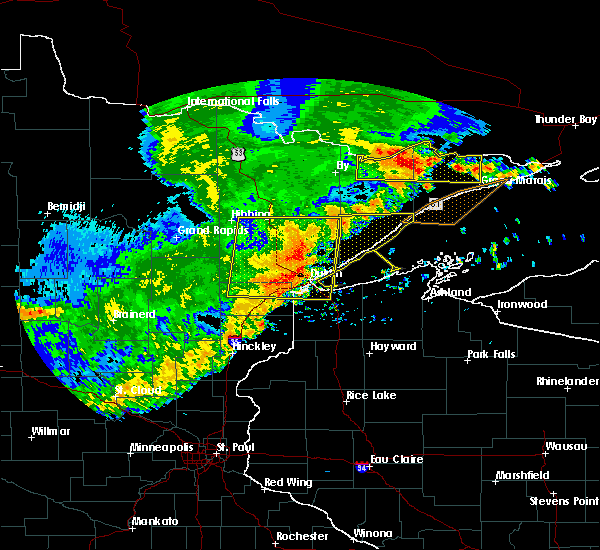 At 352 am cdt, severe thunderstorms were located along a line extending from near brimson, to south range, moving east at 45 mph. these are very dangerous storms (trained weather spotters). Hazards include 80 mph wind gusts and half dollar size hail. Flying debris will be dangerous to those caught without shelter. mobile homes will be heavily damaged. expect considerable damage to roofs, windows, and vehicles. extensive tree damage and power outages are likely. severe thunderstorms will be near, brimson around 355 am cdt. Other locations impacted by these severe thunderstorms include billings park, lakewood twp, chester park, kenwood, pequaywan lake, morley hts/parkview, east hillside, lakeside-lester park, palmers and congdon park. At 352 am cdt, severe thunderstorms were located along a line extending from near brimson, to south range, moving east at 45 mph. these are very dangerous storms (trained weather spotters). Hazards include 80 mph wind gusts and half dollar size hail. Flying debris will be dangerous to those caught without shelter. mobile homes will be heavily damaged. expect considerable damage to roofs, windows, and vehicles. extensive tree damage and power outages are likely. severe thunderstorms will be near, brimson around 355 am cdt. Other locations impacted by these severe thunderstorms include billings park, lakewood twp, chester park, kenwood, pequaywan lake, morley hts/parkview, east hillside, lakeside-lester park, palmers and congdon park.
|
| 7/21/2016 3:44 AM CDT |
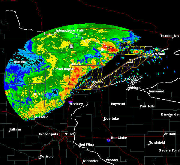 At 343 am cdt, severe thunderstorms were located along a line extending from near wolf lake, to near oliver, moving east at 45 mph. these are very dangerous storms (trained weather spotters). Hazards include 80 mph wind gusts and half dollar size hail. Flying debris will be dangerous to those caught without shelter. mobile homes will be heavily damaged. expect considerable damage to roofs, windows, and vehicles. extensive tree damage and power outages are likely. these severe storms will be near, fairbanks, wolf lake and brimson around 350 am cdt. Other locations impacted by these severe thunderstorms include billings park, lakewood twp, markham, chester park, kenwood, pequaywan lake, morley hts/parkview, east hillside, fish lake and taft. At 343 am cdt, severe thunderstorms were located along a line extending from near wolf lake, to near oliver, moving east at 45 mph. these are very dangerous storms (trained weather spotters). Hazards include 80 mph wind gusts and half dollar size hail. Flying debris will be dangerous to those caught without shelter. mobile homes will be heavily damaged. expect considerable damage to roofs, windows, and vehicles. extensive tree damage and power outages are likely. these severe storms will be near, fairbanks, wolf lake and brimson around 350 am cdt. Other locations impacted by these severe thunderstorms include billings park, lakewood twp, markham, chester park, kenwood, pequaywan lake, morley hts/parkview, east hillside, fish lake and taft.
|
| 7/21/2016 3:35 AM CDT |
 At 335 am cdt, severe thunderstorms were located along a line extending from near whiteface reservoir, to near oliver, moving east at 45 mph. these are very dangerous storms (trained weather spotters). Hazards include 80 mph wind gusts and half dollar size hail. Flying debris will be dangerous to those caught without shelter. mobile homes will be heavily damaged. expect considerable damage to roofs, windows, and vehicles. extensive tree damage and power outages are likely. these severe storms will be near, superior, fairbanks and wolf lake around 345 am cdt. south range, brimson and wisconsin point around 350 am cdt. Other locations impacted by these severe thunderstorms include prosit, billings park, lakewood twp, chester park, morley hts/parkview, alborn, east hillside, taft, congdon park and twig. At 335 am cdt, severe thunderstorms were located along a line extending from near whiteface reservoir, to near oliver, moving east at 45 mph. these are very dangerous storms (trained weather spotters). Hazards include 80 mph wind gusts and half dollar size hail. Flying debris will be dangerous to those caught without shelter. mobile homes will be heavily damaged. expect considerable damage to roofs, windows, and vehicles. extensive tree damage and power outages are likely. these severe storms will be near, superior, fairbanks and wolf lake around 345 am cdt. south range, brimson and wisconsin point around 350 am cdt. Other locations impacted by these severe thunderstorms include prosit, billings park, lakewood twp, chester park, morley hts/parkview, alborn, east hillside, taft, congdon park and twig.
|
| 7/21/2016 3:21 AM CDT |
 At 319 am cdt, severe thunderstorms were located along a line extending from 6 miles west of whiteface reservoir, to near wrenshall, moving east at 55 mph (radar indicated). Hazards include 70 mph wind gusts and half dollar size hail. Hail damage to vehicles is expected. expect considerable tree damage. wind damage is also likely to mobile homes, roofs, and outbuildings. these severe storms will be near, whiteface reservoir around 330 am cdt. oliver and duluth around 335 am cdt. fairbanks, wolf lake and wisconsin point around 340 am cdt. superior, south range and brimson around 345 am cdt. Other locations impacted by these severe thunderstorms include prosit, billings park, lakewood twp, chester park, morley hts/parkview, alborn, east hillside, gowan, taft and congdon park. At 319 am cdt, severe thunderstorms were located along a line extending from 6 miles west of whiteface reservoir, to near wrenshall, moving east at 55 mph (radar indicated). Hazards include 70 mph wind gusts and half dollar size hail. Hail damage to vehicles is expected. expect considerable tree damage. wind damage is also likely to mobile homes, roofs, and outbuildings. these severe storms will be near, whiteface reservoir around 330 am cdt. oliver and duluth around 335 am cdt. fairbanks, wolf lake and wisconsin point around 340 am cdt. superior, south range and brimson around 345 am cdt. Other locations impacted by these severe thunderstorms include prosit, billings park, lakewood twp, chester park, morley hts/parkview, alborn, east hillside, gowan, taft and congdon park.
|
| 7/21/2016 3:00 AM CDT |
 At 257 am cdt, severe thunderstorms were located along a line extending from near cherry, to near cromwell, moving east at 45 mph (radar indicated). Hazards include 60 mph wind gusts. Expect damage to roofs. siding. and trees. severe thunderstorms will be near, eveleth around 315 am cdt. cloquet around 325 am cdt. scanlon and carlton around 330 am cdt. wrenshall and thomson around 335 am cdt. whiteface reservoir around 340 am cdt. duluth, proctor and oliver around 345 am cdt. superior and wolf lake around 350 am cdt. Other locations impacted by these severe thunderstorms include prosit, billings park, lakewood twp, chester park, morley hts/parkview, alborn, east hillside, gowan, taft and congdon park. At 257 am cdt, severe thunderstorms were located along a line extending from near cherry, to near cromwell, moving east at 45 mph (radar indicated). Hazards include 60 mph wind gusts. Expect damage to roofs. siding. and trees. severe thunderstorms will be near, eveleth around 315 am cdt. cloquet around 325 am cdt. scanlon and carlton around 330 am cdt. wrenshall and thomson around 335 am cdt. whiteface reservoir around 340 am cdt. duluth, proctor and oliver around 345 am cdt. superior and wolf lake around 350 am cdt. Other locations impacted by these severe thunderstorms include prosit, billings park, lakewood twp, chester park, morley hts/parkview, alborn, east hillside, gowan, taft and congdon park.
|
| 7/5/2016 7:58 PM CDT |
 At 758 pm cdt, a severe thunderstorm was located 5 miles north of french river, moving east at 45 mph (radar indicated). Hazards include 70 mph wind gusts and penny size hail. Expect considerable tree damage. damage is likely to mobile homes, roofs, and outbuildings. locations impacted include, two harbors, french river, castle danger, knife river, larsmont, arnold, island lake, alger, lakewood township, palmers, and gooseberry falls state park. This also includes highway 61 between duluth and castle danger. At 758 pm cdt, a severe thunderstorm was located 5 miles north of french river, moving east at 45 mph (radar indicated). Hazards include 70 mph wind gusts and penny size hail. Expect considerable tree damage. damage is likely to mobile homes, roofs, and outbuildings. locations impacted include, two harbors, french river, castle danger, knife river, larsmont, arnold, island lake, alger, lakewood township, palmers, and gooseberry falls state park. This also includes highway 61 between duluth and castle danger.
|
| 7/5/2016 7:50 PM CDT |
 At 750 pm cdt, a severe thunderstorm was located 8 miles north of french river, or 18 miles northeast of duluth, moving east at 45 mph (radar indicated. at 745 pm...a wind gust to 71 mph was measured in normanna township, about 15 miles north of duluth). Hazards include 70 mph wind gusts and penny size hail. Expect considerable tree damage. damage is likely to mobile homes, roofs, and outbuildings. Locations impacted include, two harbors, castle danger, knife river, island lake, boulder lake, french river, larsmont, arnold, alger, lakewood twp, palmers, wild rice lake, rice lake twp and gooseberry falls state park. At 750 pm cdt, a severe thunderstorm was located 8 miles north of french river, or 18 miles northeast of duluth, moving east at 45 mph (radar indicated. at 745 pm...a wind gust to 71 mph was measured in normanna township, about 15 miles north of duluth). Hazards include 70 mph wind gusts and penny size hail. Expect considerable tree damage. damage is likely to mobile homes, roofs, and outbuildings. Locations impacted include, two harbors, castle danger, knife river, island lake, boulder lake, french river, larsmont, arnold, alger, lakewood twp, palmers, wild rice lake, rice lake twp and gooseberry falls state park.
|
| 7/5/2016 7:45 PM CDT |
 At 745 pm cdt, a severe thunderstorm was located 9 miles northwest of french river, or 17 miles north of duluth, moving east at 45 mph (radar indicated. this storm has a history of producing wind damage). Hazards include 60 mph wind gusts and penny size hail. Expect damage to roofs. siding. and trees. Locations impacted include, two harbors, castle danger, knife river, island lake, boulder lake, french river, larsmont, arnold, alger, north shore, lakewood twp, palmers, wild rice lake, rice lake twp and gooseberry falls state park. At 745 pm cdt, a severe thunderstorm was located 9 miles northwest of french river, or 17 miles north of duluth, moving east at 45 mph (radar indicated. this storm has a history of producing wind damage). Hazards include 60 mph wind gusts and penny size hail. Expect damage to roofs. siding. and trees. Locations impacted include, two harbors, castle danger, knife river, island lake, boulder lake, french river, larsmont, arnold, alger, north shore, lakewood twp, palmers, wild rice lake, rice lake twp and gooseberry falls state park.
|
| 7/5/2016 7:34 PM CDT |
 At 733 pm cdt, a severe thunderstorm was located over island lake, or 17 miles north of duluth, moving east at 45 mph (radar indicated. this storm has a history of producing wind damage for the past two hours). Hazards include 60 mph wind gusts and penny size hail. Expect damage to roofs. siding. And trees. At 733 pm cdt, a severe thunderstorm was located over island lake, or 17 miles north of duluth, moving east at 45 mph (radar indicated. this storm has a history of producing wind damage for the past two hours). Hazards include 60 mph wind gusts and penny size hail. Expect damage to roofs. siding. And trees.
|
| 6/25/2016 5:14 PM CDT |
 At 514 pm cdt, a severe thunderstorm was located over south range, or 9 miles southeast of superior, moving east at 45 mph (radar indicated). Hazards include 60 mph wind gusts and penny size hail. Expect damage to roofs. siding. And trees. At 514 pm cdt, a severe thunderstorm was located over south range, or 9 miles southeast of superior, moving east at 45 mph (radar indicated). Hazards include 60 mph wind gusts and penny size hail. Expect damage to roofs. siding. And trees.
|
| 6/25/2016 5:14 PM CDT |
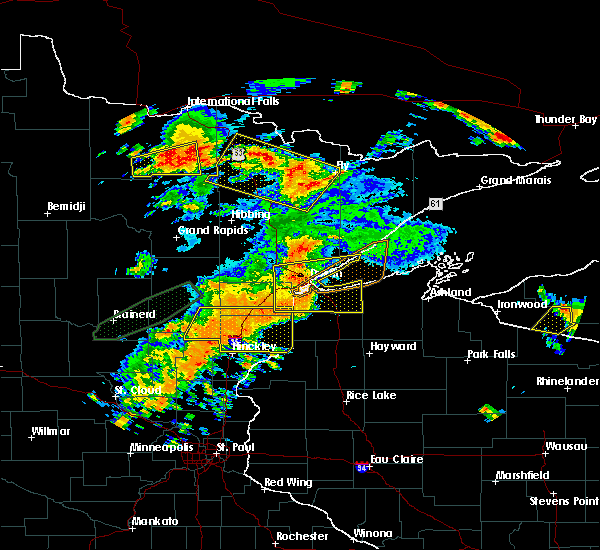 At 514 pm cdt, a severe thunderstorm was located over south range, or 9 miles southeast of superior, moving east at 45 mph (radar indicated). Hazards include 60 mph wind gusts and penny size hail. Expect damage to roofs. siding. And trees. At 514 pm cdt, a severe thunderstorm was located over south range, or 9 miles southeast of superior, moving east at 45 mph (radar indicated). Hazards include 60 mph wind gusts and penny size hail. Expect damage to roofs. siding. And trees.
|
| 6/25/2016 5:05 PM CDT |
 At 504 pm cdt, a severe thunderstorm was located over duluth, moving east at 45 mph (radar indicated). Hazards include 70 mph wind gusts and quarter size hail. Hail damage to vehicles is expected. expect considerable tree damage. wind damage is also likely to mobile homes, roofs, and outbuildings. locations impacted include, duluth, superior, cloquet, hermantown, two harbors, proctor, hawthorne, lake nebagamon, scanlon, carlton, maple, brule, poplar in douglas county, wrenshall, oliver, holyoke, thomson, south range, saginaw and foxboro. A tornado watch remains in effect until 900 pm cdt for northeastern minnesota, and northwestern wisconsin. At 504 pm cdt, a severe thunderstorm was located over duluth, moving east at 45 mph (radar indicated). Hazards include 70 mph wind gusts and quarter size hail. Hail damage to vehicles is expected. expect considerable tree damage. wind damage is also likely to mobile homes, roofs, and outbuildings. locations impacted include, duluth, superior, cloquet, hermantown, two harbors, proctor, hawthorne, lake nebagamon, scanlon, carlton, maple, brule, poplar in douglas county, wrenshall, oliver, holyoke, thomson, south range, saginaw and foxboro. A tornado watch remains in effect until 900 pm cdt for northeastern minnesota, and northwestern wisconsin.
|
| 6/25/2016 5:05 PM CDT |
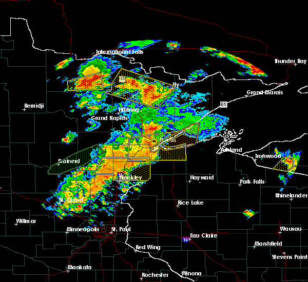 At 504 pm cdt, a severe thunderstorm was located over duluth, moving east at 45 mph (radar indicated). Hazards include 70 mph wind gusts and quarter size hail. Hail damage to vehicles is expected. expect considerable tree damage. wind damage is also likely to mobile homes, roofs, and outbuildings. locations impacted include, duluth, superior, cloquet, hermantown, two harbors, proctor, hawthorne, lake nebagamon, scanlon, carlton, maple, brule, poplar in douglas county, wrenshall, oliver, holyoke, thomson, south range, saginaw and foxboro. A tornado watch remains in effect until 900 pm cdt for northeastern minnesota, and northwestern wisconsin. At 504 pm cdt, a severe thunderstorm was located over duluth, moving east at 45 mph (radar indicated). Hazards include 70 mph wind gusts and quarter size hail. Hail damage to vehicles is expected. expect considerable tree damage. wind damage is also likely to mobile homes, roofs, and outbuildings. locations impacted include, duluth, superior, cloquet, hermantown, two harbors, proctor, hawthorne, lake nebagamon, scanlon, carlton, maple, brule, poplar in douglas county, wrenshall, oliver, holyoke, thomson, south range, saginaw and foxboro. A tornado watch remains in effect until 900 pm cdt for northeastern minnesota, and northwestern wisconsin.
|
| 6/25/2016 4:52 PM CDT |
 At 451 pm cdt, a severe thunderstorm was located over proctor, or 7 miles west of superior, moving east at 40 mph (radar indicated. this storm has a history of producing wind damage in the cromwell and cloquet areas). Hazards include 70 mph wind gusts and quarter size hail. Hail damage to vehicles is expected. expect considerable tree damage. wind damage is also likely to mobile homes, roofs, and outbuildings. locations impacted include, duluth, superior, cloquet, hermantown, two harbors, proctor, hawthorne, lake nebagamon, scanlon, carlton, maple, brule, barnum, mahtowa, poplar in douglas county, wrenshall, oliver, holyoke, thomson and brookston. A tornado watch remains in effect until 900 pm cdt for northeastern minnesota, and northwestern wisconsin. At 451 pm cdt, a severe thunderstorm was located over proctor, or 7 miles west of superior, moving east at 40 mph (radar indicated. this storm has a history of producing wind damage in the cromwell and cloquet areas). Hazards include 70 mph wind gusts and quarter size hail. Hail damage to vehicles is expected. expect considerable tree damage. wind damage is also likely to mobile homes, roofs, and outbuildings. locations impacted include, duluth, superior, cloquet, hermantown, two harbors, proctor, hawthorne, lake nebagamon, scanlon, carlton, maple, brule, barnum, mahtowa, poplar in douglas county, wrenshall, oliver, holyoke, thomson and brookston. A tornado watch remains in effect until 900 pm cdt for northeastern minnesota, and northwestern wisconsin.
|
| 6/25/2016 4:36 PM CDT |
 At 435 pm cdt, a severe thunderstorm was located near carlton, or near cloquet, moving east at 50 mph. this is a very dangerous storm (radar indicated). Hazards include 80 mph wind gusts and quarter size hail. Flying debris will be dangerous to those caught without shelter. mobile homes will be heavily damaged. expect considerable damage to roofs, windows, and vehicles. Extensive tree damage and power outages are likely. At 435 pm cdt, a severe thunderstorm was located near carlton, or near cloquet, moving east at 50 mph. this is a very dangerous storm (radar indicated). Hazards include 80 mph wind gusts and quarter size hail. Flying debris will be dangerous to those caught without shelter. mobile homes will be heavily damaged. expect considerable damage to roofs, windows, and vehicles. Extensive tree damage and power outages are likely.
|
| 6/5/2016 12:42 PM CDT |
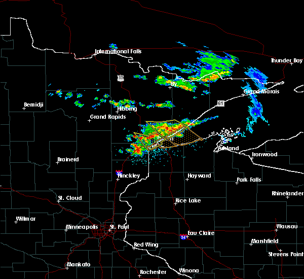 At 1242 pm cdt, severe thunderstorms were located along a line extending from near arnold, to pike lake near duluth to near saginaw, moving southeast at 40 mph (radar indicated). Hazards include 70 mph wind gusts and quarter size hail. Hail damage to vehicles is expected. expect considerable tree damage. wind damage is also likely to mobile homes, roofs, and outbuildings. Locations impacted include, duluth, superior, hermantown, proctor, oliver, saginaw, pike lake near duluth, arnold, grand lake, irving, billings park, chester park, kenwood, morley hts/parkview, east hillside, lakeside-lester park, congdon park, denfeld, wild rice lake and twig. At 1242 pm cdt, severe thunderstorms were located along a line extending from near arnold, to pike lake near duluth to near saginaw, moving southeast at 40 mph (radar indicated). Hazards include 70 mph wind gusts and quarter size hail. Hail damage to vehicles is expected. expect considerable tree damage. wind damage is also likely to mobile homes, roofs, and outbuildings. Locations impacted include, duluth, superior, hermantown, proctor, oliver, saginaw, pike lake near duluth, arnold, grand lake, irving, billings park, chester park, kenwood, morley hts/parkview, east hillside, lakeside-lester park, congdon park, denfeld, wild rice lake and twig.
|
| 6/5/2016 12:30 PM CDT |
 At 1230 pm cdt, a severe thunderstorm was located near canyon, or 18 miles north of cloquet, moving southeast at 40 mph (radar indicated). Hazards include 60 mph wind gusts and quarter size hail. Hail damage to vehicles is expected. Expect wind damage to roofs, siding, and trees. At 1230 pm cdt, a severe thunderstorm was located near canyon, or 18 miles north of cloquet, moving southeast at 40 mph (radar indicated). Hazards include 60 mph wind gusts and quarter size hail. Hail damage to vehicles is expected. Expect wind damage to roofs, siding, and trees.
|
| 6/5/2016 12:30 PM CDT |
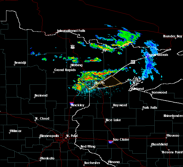 At 1230 pm cdt, a severe thunderstorm was located near canyon, or 18 miles north of cloquet, moving southeast at 40 mph (radar indicated). Hazards include 60 mph wind gusts and quarter size hail. Hail damage to vehicles is expected. Expect wind damage to roofs, siding, and trees. At 1230 pm cdt, a severe thunderstorm was located near canyon, or 18 miles north of cloquet, moving southeast at 40 mph (radar indicated). Hazards include 60 mph wind gusts and quarter size hail. Hail damage to vehicles is expected. Expect wind damage to roofs, siding, and trees.
|
| 7/5/2015 10:27 PM CDT | The severe thunderstorm warning for southeastern st. louis and southern lake counties will expire at 1030 pm cdt, the storms which prompted the warning have weakened below severe limits, and no longer pose an immediate threat to life or property. therefore the warning will be allowed to expire. however gusty winds and heavy rain are still possible with these thunderstorms. a severe thunderstorm watch remains in effect until 1100 pm cdt for northeastern minnesota. |
| 7/5/2015 10:18 PM CDT |
 At 1018 pm cdt, severe thunderstorms were located along a line extending from near silver bay to 10 miles south of beaver bay to 7 miles southeast of french river to proctor, moving southeast at 45 mph (radar indicated). Hazards include 60 mph wind gusts and quarter size hail. Hail damage to vehicles is expected. expect wind damage to roofs, siding and trees. these severe storms will be near, tettgouche state park around 1025 pm cdt. Other locations impacted by these severe thunderstorms include chester park-umd, lakewood twp, kenwood, pequaywam lake, morley hts/parkview, east hillside, fish lake, taft, murphy city and lakeside-lester park. At 1018 pm cdt, severe thunderstorms were located along a line extending from near silver bay to 10 miles south of beaver bay to 7 miles southeast of french river to proctor, moving southeast at 45 mph (radar indicated). Hazards include 60 mph wind gusts and quarter size hail. Hail damage to vehicles is expected. expect wind damage to roofs, siding and trees. these severe storms will be near, tettgouche state park around 1025 pm cdt. Other locations impacted by these severe thunderstorms include chester park-umd, lakewood twp, kenwood, pequaywam lake, morley hts/parkview, east hillside, fish lake, taft, murphy city and lakeside-lester park.
|
| 7/5/2015 9:57 PM CDT |
 At 957 pm cdt, severe thunderstorms were located along a line extending from near whyte to near thomas lake near brimson to near pike lake near duluth to near brookston, moving east at 45 mph (radar indicated). Hazards include 60 mph wind gusts and quarter size hail. Hail damage to vehicles is expected. expect wind damage to roofs, siding and trees. these severe storms will be near, thomas lake near brimson and highland lake around 1000 pm cdt. whyte around 1005 pm cdt. gooseberry falls state park and castle danger around 1010 pm cdt. duluth, beaver bay and french river around 1020 pm cdt. proctor and knife river around 1025 pm cdt. silver bay, little marais, illgen city and larsmont around 1030 pm cdt. Other locations impacted by these severe thunderstorms include chester park-umd, lakewood twp, kenwood, pequaywam lake, morley hts/parkview, east hillside, fish lake, taft, murphy city and lakeside-lester park. At 957 pm cdt, severe thunderstorms were located along a line extending from near whyte to near thomas lake near brimson to near pike lake near duluth to near brookston, moving east at 45 mph (radar indicated). Hazards include 60 mph wind gusts and quarter size hail. Hail damage to vehicles is expected. expect wind damage to roofs, siding and trees. these severe storms will be near, thomas lake near brimson and highland lake around 1000 pm cdt. whyte around 1005 pm cdt. gooseberry falls state park and castle danger around 1010 pm cdt. duluth, beaver bay and french river around 1020 pm cdt. proctor and knife river around 1025 pm cdt. silver bay, little marais, illgen city and larsmont around 1030 pm cdt. Other locations impacted by these severe thunderstorms include chester park-umd, lakewood twp, kenwood, pequaywam lake, morley hts/parkview, east hillside, fish lake, taft, murphy city and lakeside-lester park.
|
| 7/5/2015 9:43 PM CDT |
 At 943 pm cdt, severe thunderstorms were located along a line extending from 7 miles north of fairbanks to brimson to near saginaw to near floodwood, moving east at 45 mph (radar indicated). Hazards include 60 mph wind gusts and quarter size hail. Hail damage to vehicles is expected. expect wind damage to roofs, siding and trees. severe thunderstorms will be near, brimson around 950 pm cdt. thomas lake near brimson and highland lake around 955 pm cdt. brookston around 1000 pm cdt. whyte around 1005 pm cdt. arnold and castle danger around 1010 pm cdt. gooseberry falls state park around 1015 pm cdt. duluth, beaver bay and french river around 1020 pm cdt. hermantown and knife river around 1025 pm cdt. Other locations impacted by these severe thunderstorms include prosit, chester park-umd, lakewood twp, markham, kenwood, pequaywam lake, morley hts/parkview, alborn, seven beaver lake and east hillside. At 943 pm cdt, severe thunderstorms were located along a line extending from 7 miles north of fairbanks to brimson to near saginaw to near floodwood, moving east at 45 mph (radar indicated). Hazards include 60 mph wind gusts and quarter size hail. Hail damage to vehicles is expected. expect wind damage to roofs, siding and trees. severe thunderstorms will be near, brimson around 950 pm cdt. thomas lake near brimson and highland lake around 955 pm cdt. brookston around 1000 pm cdt. whyte around 1005 pm cdt. arnold and castle danger around 1010 pm cdt. gooseberry falls state park around 1015 pm cdt. duluth, beaver bay and french river around 1020 pm cdt. hermantown and knife river around 1025 pm cdt. Other locations impacted by these severe thunderstorms include prosit, chester park-umd, lakewood twp, markham, kenwood, pequaywam lake, morley hts/parkview, alborn, seven beaver lake and east hillside.
|
| 6/29/2015 11:21 AM CDT |
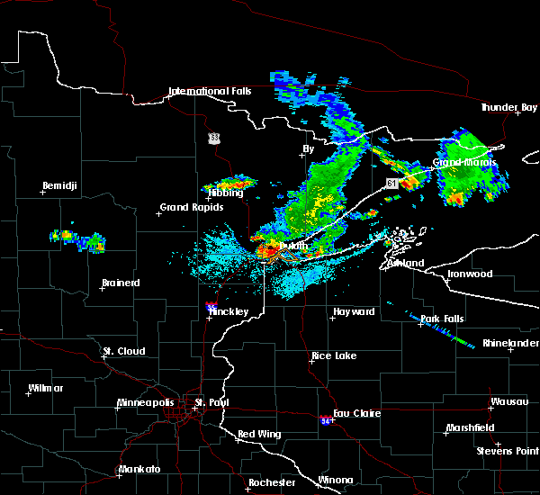 At 1120 am cdt, a severe thunderstorm was located over west duluth and proctor, moving southeast at 40 mph (radar indicated). Hazards include 60 mph wind gusts and nickel size hail. Expect damage to trees and roofs. this severe storm will be near, oliver and cannal park around 1125 am cdt. superior around 1130 am cdt. Other locations impacted by this severe thunderstorm include cody, kenwood, bayview heights, riverside, central business district, central hillside, east hillside, duluth heights, gary new duluth and smithville. At 1120 am cdt, a severe thunderstorm was located over west duluth and proctor, moving southeast at 40 mph (radar indicated). Hazards include 60 mph wind gusts and nickel size hail. Expect damage to trees and roofs. this severe storm will be near, oliver and cannal park around 1125 am cdt. superior around 1130 am cdt. Other locations impacted by this severe thunderstorm include cody, kenwood, bayview heights, riverside, central business district, central hillside, east hillside, duluth heights, gary new duluth and smithville.
|
Hail Maps for Arnold, MN


Connect with Interactive Hail Maps