

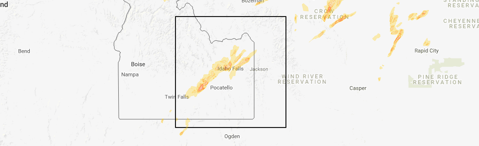
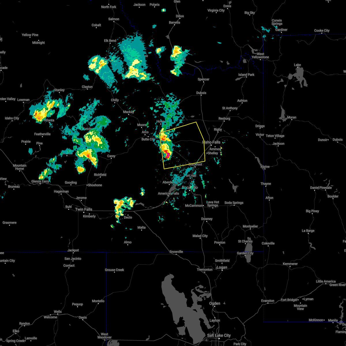
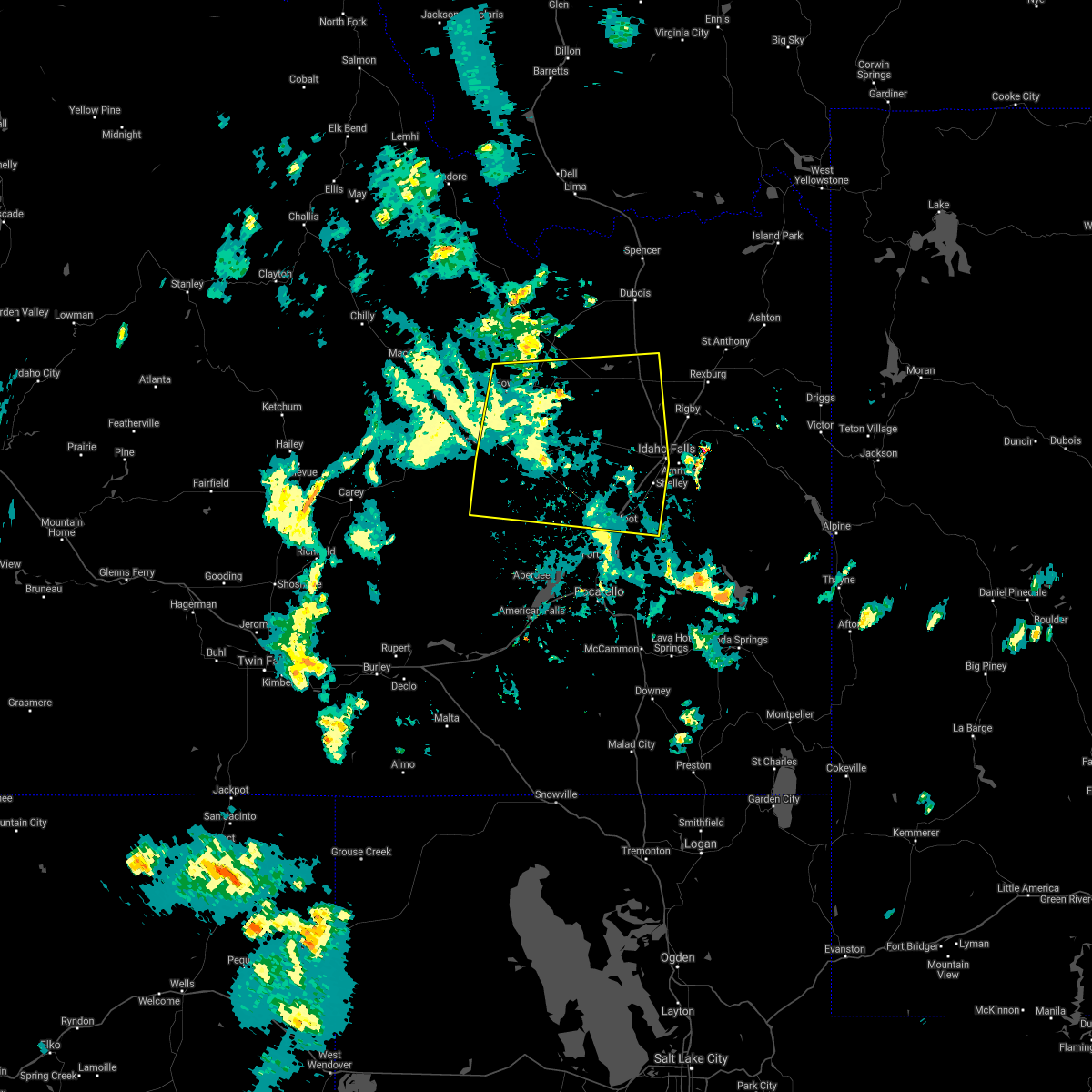
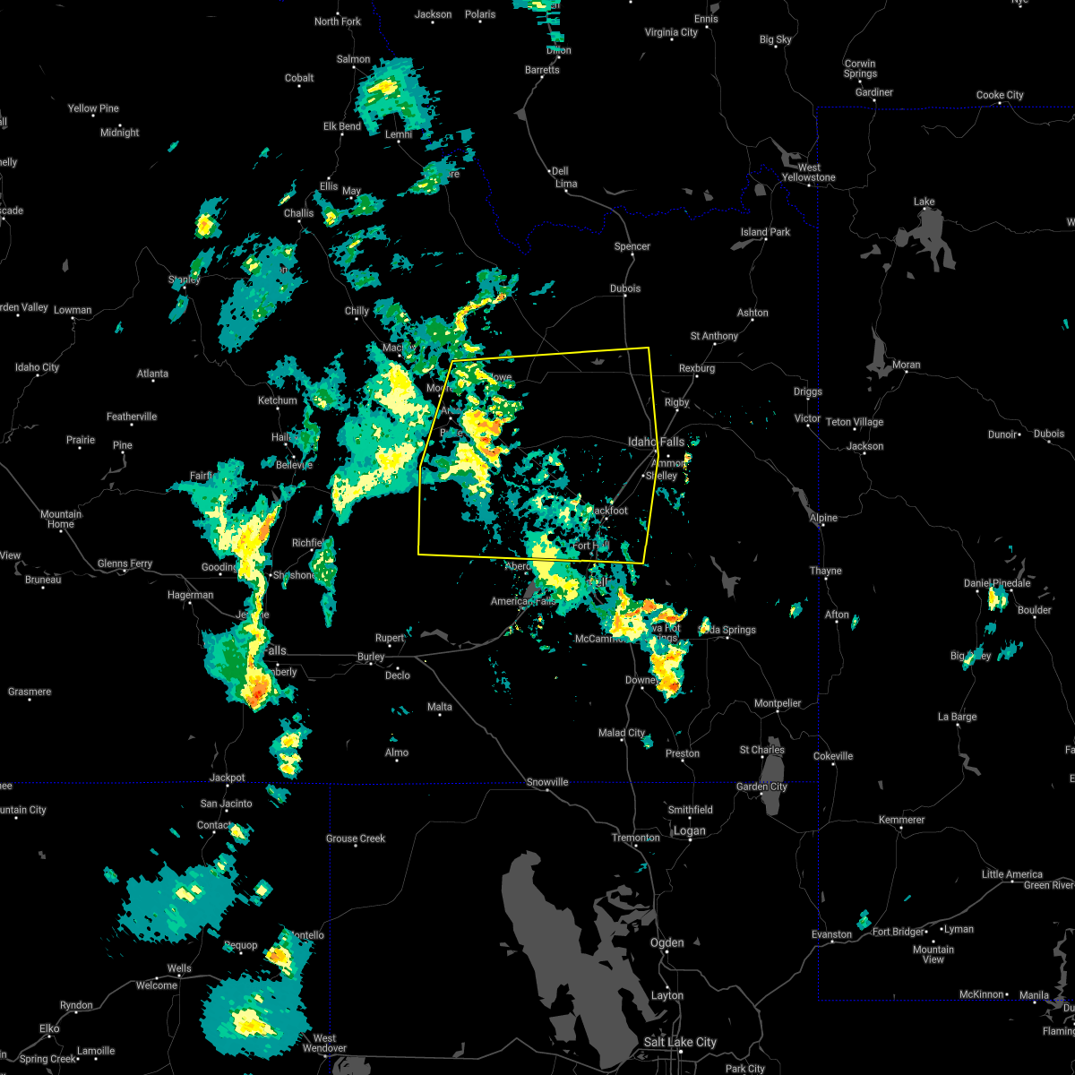
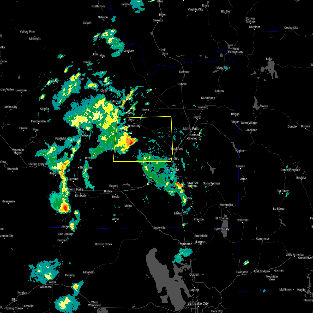
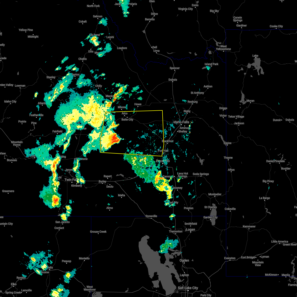
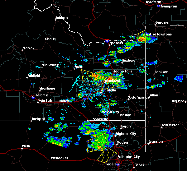
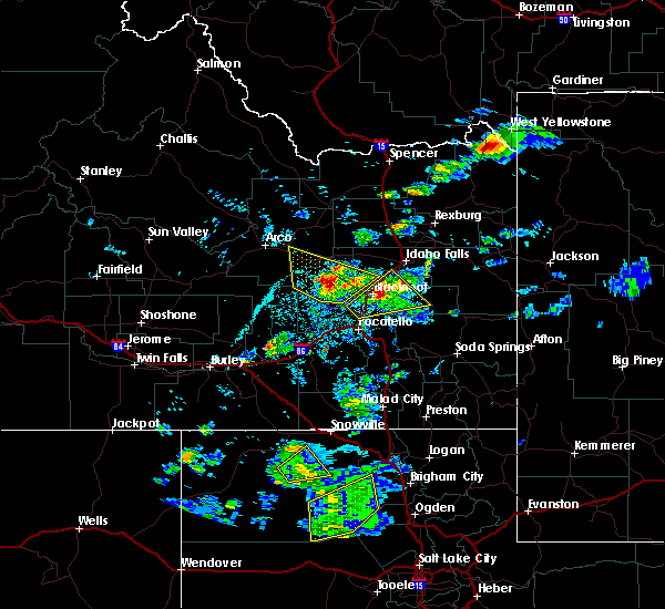
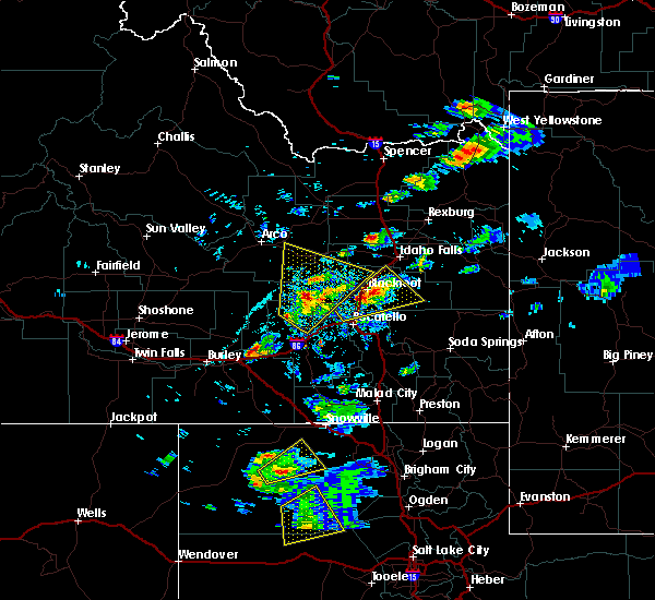
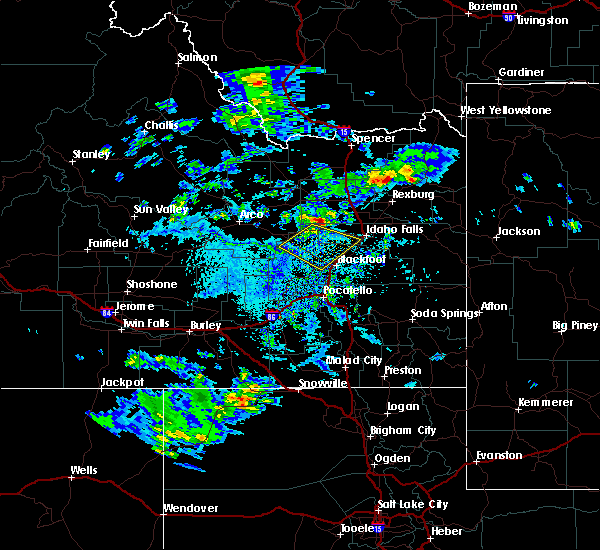
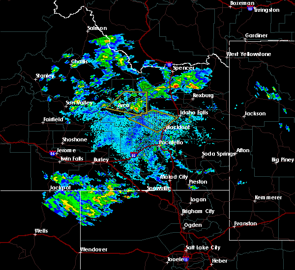
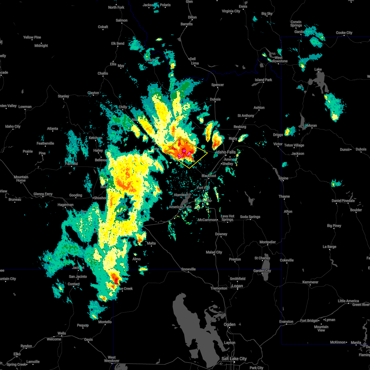
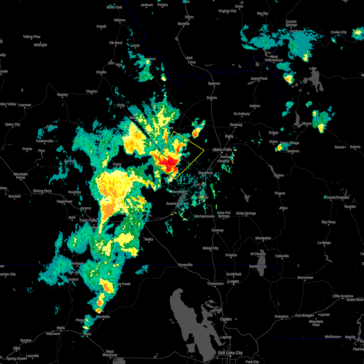
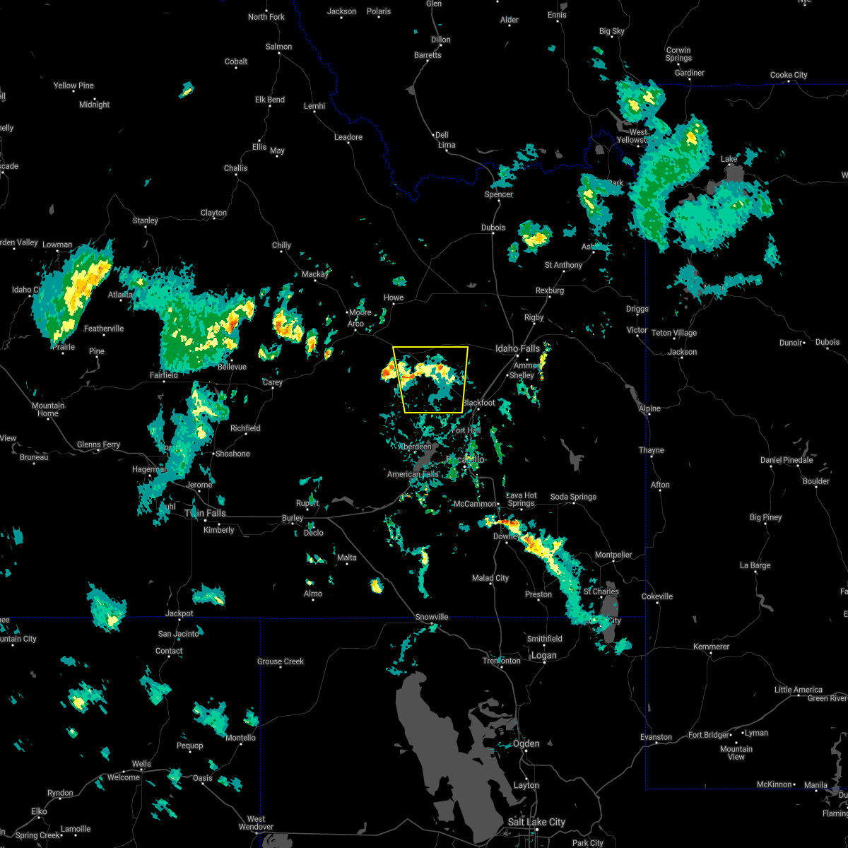
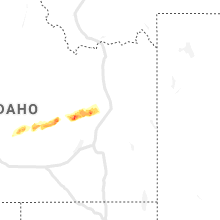
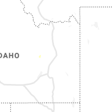
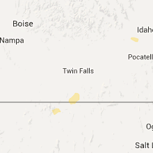
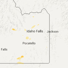
Hail Map for Atomic City, ID
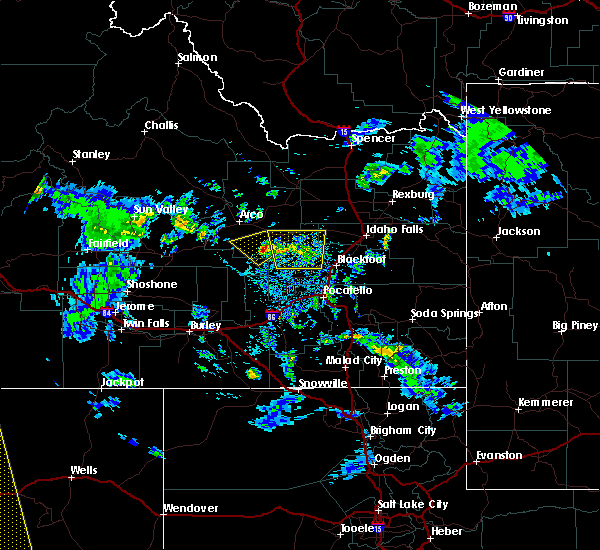
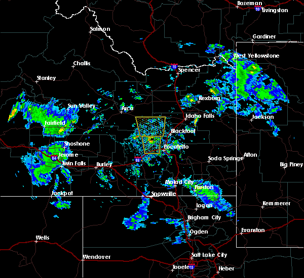
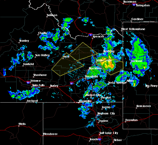
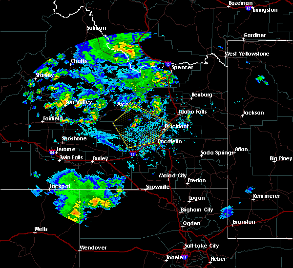
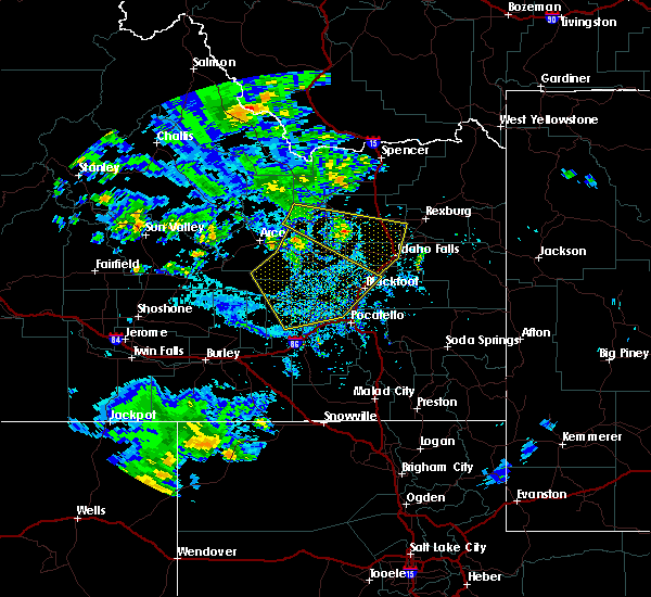
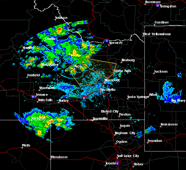
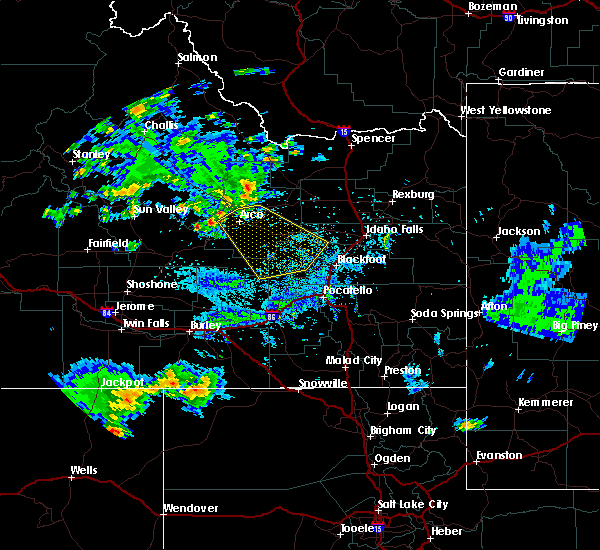
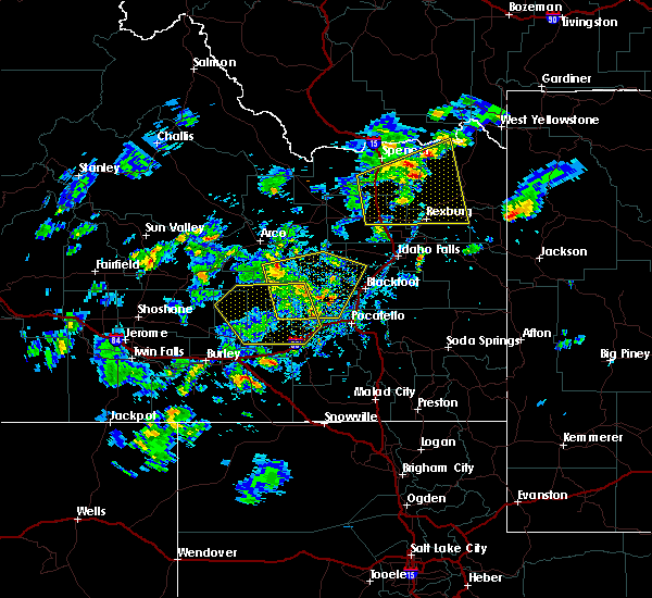
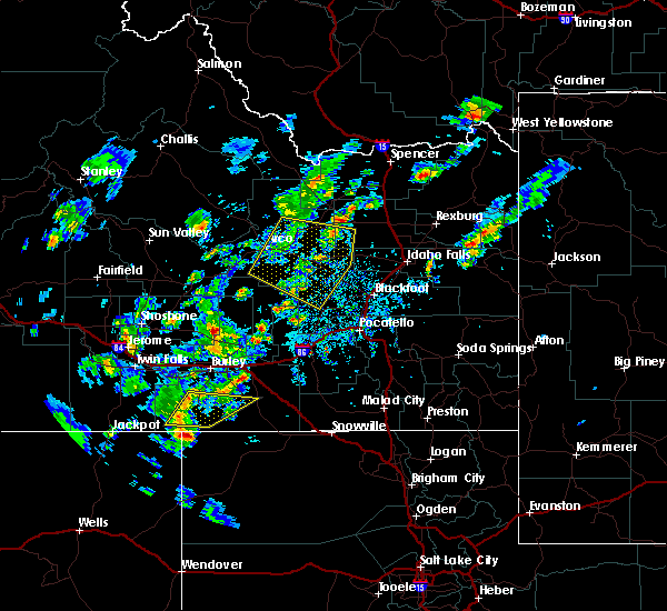
The Atomic City, ID area has had 0 reports of on-the-ground hail by trained spotters, and has been under severe weather warnings 2 times during the past 12 months. Doppler radar has detected hail at or near Atomic City, ID on 6 occasions.
| Name: | Atomic City, ID |
| Where Located: | 38.9 miles W of Idaho Falls, ID |
| Map: | Google Map for Atomic City, ID |
| Population: | 29 |
| Housing Units: | 48 |
| More Info: | Search Google for Atomic City, ID |
5
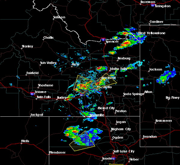
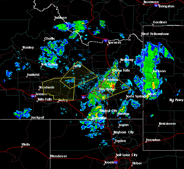
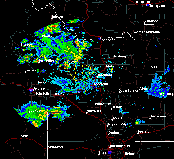
The Top Recent Hail Date for Atomic City, ID is Thursday, May 31, 2018 (1st out of 6)
Hail and Wind Damage Spotted near Atomic City, ID
| Date / Time | Report Details |
|---|---|
| 7/23/2023 6:43 PM MDT |
 At 642 pm mdt, strong outflow winds from thunderstorms were located along a line extending from near taber to 10 miles south of goshen, moving north at 40 mph (radar indicated). Hazards include 60 mph wind gusts. expect damage to roofs, siding, and trees At 642 pm mdt, strong outflow winds from thunderstorms were located along a line extending from near taber to 10 miles south of goshen, moving north at 40 mph (radar indicated). Hazards include 60 mph wind gusts. expect damage to roofs, siding, and trees
|
| 7/20/2023 4:08 PM MDT |
 At 407 pm mdt, a severe thunderstorm was located 8 miles northeast of central inl, or 21 miles east of arco, moving southeast at 30 mph (radar indicated). Hazards include 70 mph wind gusts. Expect considerable tree damage. Damage is likely to mobile homes, roofs, and outbuildings. At 407 pm mdt, a severe thunderstorm was located 8 miles northeast of central inl, or 21 miles east of arco, moving southeast at 30 mph (radar indicated). Hazards include 70 mph wind gusts. Expect considerable tree damage. Damage is likely to mobile homes, roofs, and outbuildings.
|
| 5/4/2023 5:00 PM MDT | Mesonet station 690 inl central facilitie in butte county ID, 9.1 miles SE of Atomic City, ID |
| 5/4/2023 4:40 PM MDT | Mesonet station sum big southern butt in butte county ID, 10.8 miles ENE of Atomic City, ID |
| 9/21/2022 4:30 PM MDT | Itd inl puzzl in butte county ID, 4.3 miles SE of Atomic City, ID |
| 8/19/2022 7:50 PM MDT | Mesonet station nrf inl naval reactors facilit in butte county ID, 15.1 miles SSE of Atomic City, ID |
| 7/2/2022 5:19 PM MDT |
 At 519 pm mdt, severe thunderstorms were located along a line extending from 7 miles southeast of southeast inl to 7 miles west of shelley to near fort hall lincoln creek lodge, moving northeast at 30 mph (radar indicated). Hazards include 60 mph wind gusts and penny size hail. Expect damage to roofs, siding, and trees. locations impacted include, idaho falls, blackfoot, rigby, ririe reservoir, lorenzo, goshen, ammon, shelley, iona, ucon, menan, ririe, roberts, firth, lewisville, atomic city, rose, fort hall eagle lodge, fort hall lincoln creek lodge and taber. hail threat, radar indicated max hail size, 0. 75 in wind threat, radar indicated max wind gust, 60 mph. At 519 pm mdt, severe thunderstorms were located along a line extending from 7 miles southeast of southeast inl to 7 miles west of shelley to near fort hall lincoln creek lodge, moving northeast at 30 mph (radar indicated). Hazards include 60 mph wind gusts and penny size hail. Expect damage to roofs, siding, and trees. locations impacted include, idaho falls, blackfoot, rigby, ririe reservoir, lorenzo, goshen, ammon, shelley, iona, ucon, menan, ririe, roberts, firth, lewisville, atomic city, rose, fort hall eagle lodge, fort hall lincoln creek lodge and taber. hail threat, radar indicated max hail size, 0. 75 in wind threat, radar indicated max wind gust, 60 mph.
|
| 7/2/2022 4:55 PM MDT | Mesonet station tra inl reactor tech comple in butte county ID, 12.3 miles SE of Atomic City, ID |
| 7/2/2022 4:54 PM MDT |
 At 453 pm mdt, severe thunderstorms were located along a line extending from near atomic city to 6 miles north of moreland to fort hall eagle lodge, moving northeast at 30 mph (radar indicated). Hazards include 60 mph wind gusts and penny size hail. expect damage to roofs, siding, and trees At 453 pm mdt, severe thunderstorms were located along a line extending from near atomic city to 6 miles north of moreland to fort hall eagle lodge, moving northeast at 30 mph (radar indicated). Hazards include 60 mph wind gusts and penny size hail. expect damage to roofs, siding, and trees
|
| 7/2/2022 4:45 PM MDT | Corrects previous non-tstm wnd gst report from 11 wsw atomic city. mesonet station sum big southern butt in butte county ID, 10.8 miles ENE of Atomic City, ID |
| 5/26/2022 3:55 PM MDT | Mesonet station tra inl reactor tech comple in butte county ID, 12.3 miles SE of Atomic City, ID |
| 5/2/2022 6:18 PM MDT |
 At 617 pm mdt, severe thunderstorms were located along a line extending from 7 miles southwest of northwest inl to near rockford to near fort hall bannock peak, moving northeast at 40 mph (radar indicated). Hazards include 60 mph wind gusts. Expect damage to roofs, siding, and trees. locations impacted include, idaho falls, pocatello, blackfoot, american falls, arco, american falls reservoir, terreton, goshen, chubbuck, shelley, aberdeen, roberts, firth, mud lake, atomic city, rose, southeast inl, southwest inl, fort hall bannock creek lodge and pingree. hail threat, radar indicated max hail size, <. 75 in wind threat, radar indicated max wind gust, 60 mph. At 617 pm mdt, severe thunderstorms were located along a line extending from 7 miles southwest of northwest inl to near rockford to near fort hall bannock peak, moving northeast at 40 mph (radar indicated). Hazards include 60 mph wind gusts. Expect damage to roofs, siding, and trees. locations impacted include, idaho falls, pocatello, blackfoot, american falls, arco, american falls reservoir, terreton, goshen, chubbuck, shelley, aberdeen, roberts, firth, mud lake, atomic city, rose, southeast inl, southwest inl, fort hall bannock creek lodge and pingree. hail threat, radar indicated max hail size, <. 75 in wind threat, radar indicated max wind gust, 60 mph.
|
| 5/2/2022 5:59 PM MDT |
 At 559 pm mdt, severe thunderstorms were located along a line extending from 12 miles southwest of northwest inl to near pingree to near fort hall bannock peak, moving east at 40 mph (radar indicated). Hazards include 70 mph wind gusts and penny size hail. Expect considerable tree damage. Damage is likely to mobile homes, roofs, and outbuildings. At 559 pm mdt, severe thunderstorms were located along a line extending from 12 miles southwest of northwest inl to near pingree to near fort hall bannock peak, moving east at 40 mph (radar indicated). Hazards include 70 mph wind gusts and penny size hail. Expect considerable tree damage. Damage is likely to mobile homes, roofs, and outbuildings.
|
| 5/2/2022 5:48 PM MDT |
 At 547 pm mdt, severe thunderstorms were located along a line extending from near darlington to 7 miles northwest of central inl to 9 miles northwest of springfield to rockland, moving east at 40 mph (radar indicated). Hazards include 70 mph wind gusts and penny size hail. Expect considerable tree damage. damage is likely to mobile homes, roofs, and outbuildings. locations impacted include, pocatello, american falls, arco, mackay, lake walcott, american falls reservoir, grouse, neeley, chubbuck, aberdeen, rockland, minidoka, atomic city, darlington, southeast inl, southwest inl, fort hall bannock creek lodge, pingree, pocatello airport and cold water rest area. thunderstorm damage threat, considerable hail threat, radar indicated max hail size, 0. 75 in wind threat, observed max wind gust, 70 mph. At 547 pm mdt, severe thunderstorms were located along a line extending from near darlington to 7 miles northwest of central inl to 9 miles northwest of springfield to rockland, moving east at 40 mph (radar indicated). Hazards include 70 mph wind gusts and penny size hail. Expect considerable tree damage. damage is likely to mobile homes, roofs, and outbuildings. locations impacted include, pocatello, american falls, arco, mackay, lake walcott, american falls reservoir, grouse, neeley, chubbuck, aberdeen, rockland, minidoka, atomic city, darlington, southeast inl, southwest inl, fort hall bannock creek lodge, pingree, pocatello airport and cold water rest area. thunderstorm damage threat, considerable hail threat, radar indicated max hail size, 0. 75 in wind threat, observed max wind gust, 70 mph.
|
| 5/2/2022 5:33 PM MDT |
 At 533 pm mdt, severe thunderstorms were located along a line extending from near darlington to 7 miles northwest of southwest inl to 13 miles west of springfield to near rockland, moving east at 40 mph (radar indicated). Hazards include 70 mph wind gusts and penny size hail. Expect considerable tree damage. Damage is likely to mobile homes, roofs, and outbuildings. At 533 pm mdt, severe thunderstorms were located along a line extending from near darlington to 7 miles northwest of southwest inl to 13 miles west of springfield to near rockland, moving east at 40 mph (radar indicated). Hazards include 70 mph wind gusts and penny size hail. Expect considerable tree damage. Damage is likely to mobile homes, roofs, and outbuildings.
|
| 9/10/2021 3:50 PM MDT | Mesonet station nrf inl naval reactors facilit in butte county ID, 15.1 miles SSE of Atomic City, ID |
| 9/10/2021 3:35 PM MDT | Mesonet station pbf inl critical infrastructur in butte county ID, 7.9 miles SSE of Atomic City, ID |
| 9/10/2021 3:20 PM MDT | Mesonet station sum big southern summi in butte county ID, 10.8 miles ENE of Atomic City, ID |
| 8/5/2021 6:56 PM MDT |
 At 653 pm mdt, severe thunderstorms were located along a line extending from 7 miles northeast of darlington to near southeast idaho national laboratory to 6 miles southeast of fort hall lincoln creek lodge, moving northeast at 40 mph (surface weather stations). Hazards include 55 to 65 mph wind gusts. multiple wind gusts of 55 to 65 mph have been recorded from arco across the idaho national laboratory. Expect damage to roofs, siding, and trees. Locations impacted include, idaho falls, blackfoot, terreton, goshen, ammon, shelley, firth, mud lake, atomic city, rose, southeast inl, southwest inl, fort hall lincoln creek lodge, central inl, taber, northwest inl, moreland, bone, groveland and basalt. At 653 pm mdt, severe thunderstorms were located along a line extending from 7 miles northeast of darlington to near southeast idaho national laboratory to 6 miles southeast of fort hall lincoln creek lodge, moving northeast at 40 mph (surface weather stations). Hazards include 55 to 65 mph wind gusts. multiple wind gusts of 55 to 65 mph have been recorded from arco across the idaho national laboratory. Expect damage to roofs, siding, and trees. Locations impacted include, idaho falls, blackfoot, terreton, goshen, ammon, shelley, firth, mud lake, atomic city, rose, southeast inl, southwest inl, fort hall lincoln creek lodge, central inl, taber, northwest inl, moreland, bone, groveland and basalt.
|
| 8/5/2021 6:45 PM MDT | Itd rwis station at the inl puzzle/us-2 in butte county ID, 5.5 miles SE of Atomic City, ID |
| 8/5/2021 6:45 PM MDT | Mesonet station tra - inl reactor technologies comple in butte county ID, 12.3 miles SE of Atomic City, ID |
| 8/5/2021 6:38 PM MDT |
 At 637 pm mdt, severe thunderstorms were located along a line extending from near darlington to near southeast inl to fort hall putnam lodge, moving northeast at 30 mph (radar indicated). Hazards include 60 mph wind gusts. multiple wind gusts of 55 to 65 mph have been recorded along this line. expect damage to roofs, siding, and trees At 637 pm mdt, severe thunderstorms were located along a line extending from near darlington to near southeast inl to fort hall putnam lodge, moving northeast at 30 mph (radar indicated). Hazards include 60 mph wind gusts. multiple wind gusts of 55 to 65 mph have been recorded along this line. expect damage to roofs, siding, and trees
|
| 8/5/2021 6:35 PM MDT | Mesonet station 690 - inl central facilitie in butte county ID, 9.1 miles SE of Atomic City, ID |
| 8/5/2021 6:35 PM MDT | Mesonet station pbf - inl critical infrastructure comple in butte county ID, 7.9 miles SSE of Atomic City, ID |
| 8/5/2021 4:40 PM MDT | Mesonet station gri - inl intec/grid in butte county ID, 12 miles SSE of Atomic City, ID |
| 8/26/2020 9:15 PM MDT | Itd - telegraph hill in bonneville county ID, 16.5 miles WSW of Atomic City, ID |
| 8/26/2020 9:02 PM MDT |
 At 900 pm mdt, a severe thunderstorm was located near taber, or 17 miles northwest of blackfoot, moving east at 35 mph (radar indicated and confirmed by surface observations. the inl puzzle mesonet site recorded a wind gust to 67 mph at 845 pm mdt). Hazards include 60 mph wind gusts and quarter size hail. Hail damage to vehicles is expected. expect wind damage to roofs, siding, and trees. Locations impacted include, firth, atomic city, rose, taber, southeast inl, basalt, kettle butte and east butte. At 900 pm mdt, a severe thunderstorm was located near taber, or 17 miles northwest of blackfoot, moving east at 35 mph (radar indicated and confirmed by surface observations. the inl puzzle mesonet site recorded a wind gust to 67 mph at 845 pm mdt). Hazards include 60 mph wind gusts and quarter size hail. Hail damage to vehicles is expected. expect wind damage to roofs, siding, and trees. Locations impacted include, firth, atomic city, rose, taber, southeast inl, basalt, kettle butte and east butte.
|
| 8/26/2020 8:45 PM MDT | Itd - inl puzzle in butte county ID, 11.1 miles SSE of Atomic City, ID |
| 8/26/2020 8:43 PM MDT |
 At 842 pm mdt, a severe thunderstorm was located near atomic city, or 25 miles northwest of blackfoot, moving east at 45 mph (radar indicated). Hazards include 60 mph wind gusts and quarter size hail. Hail damage to vehicles is expected. Expect wind damage to roofs, siding, and trees. At 842 pm mdt, a severe thunderstorm was located near atomic city, or 25 miles northwest of blackfoot, moving east at 45 mph (radar indicated). Hazards include 60 mph wind gusts and quarter size hail. Hail damage to vehicles is expected. Expect wind damage to roofs, siding, and trees.
|
| 8/26/2020 8:40 PM MDT | Inl arl frd - critical infrastructure complex in butte county ID, 3.5 miles SSE of Atomic City, ID |
| 8/26/2020 8:30 PM MDT | Inl arl frd - inl puzzle observation site in butte county ID, 12 miles SSE of Atomic City, ID |
| 8/26/2020 8:25 PM MDT | Inl arl frd - big southern butte in butte county ID, 7.9 miles E of Atomic City, ID |
| 8/25/2020 5:44 PM MDT |
 At 543 pm mdt, severe thunderstorms are located along a line extending from near monteview to 14 miles southeast of southeast inl to near rockford, moving east at 35 mph (mesonet observations. these storms have a history of producing winds up to 70 mph!). Hazards include 70 mph wind gusts. Expect considerable tree damage. damage is likely to mobile homes, roofs, and outbuildings. Locations impacted include, idaho falls, blackfoot, terreton, goshen, shelley, roberts, firth, mud lake, hamer, atomic city, rose, inl complex, taber, moreland, groveland, basalt, east butte and sage junction. At 543 pm mdt, severe thunderstorms are located along a line extending from near monteview to 14 miles southeast of southeast inl to near rockford, moving east at 35 mph (mesonet observations. these storms have a history of producing winds up to 70 mph!). Hazards include 70 mph wind gusts. Expect considerable tree damage. damage is likely to mobile homes, roofs, and outbuildings. Locations impacted include, idaho falls, blackfoot, terreton, goshen, shelley, roberts, firth, mud lake, hamer, atomic city, rose, inl complex, taber, moreland, groveland, basalt, east butte and sage junction.
|
| 8/25/2020 5:33 PM MDT |
 At 532 pm mdt, severe thunderstorms were located along a line extending from near northwest inl to 10 miles southeast of southeast inl to near pingree, moving east at 50 mph (mesonet observations. these storms have a history of producing wind gusts up to 70 mph!). Hazards include 70 mph wind gusts. Expect considerable tree damage. damage is likely to mobile homes, roofs, and outbuildings. Locations impacted include, idaho falls, blackfoot, terreton, goshen, shelley, roberts, firth, mud lake, hamer, atomic city, rose, southeast inl, southwest inl, fort hall lincoln creek lodge, central inl, taber, northwest inl, moreland, rockford and groveland. At 532 pm mdt, severe thunderstorms were located along a line extending from near northwest inl to 10 miles southeast of southeast inl to near pingree, moving east at 50 mph (mesonet observations. these storms have a history of producing wind gusts up to 70 mph!). Hazards include 70 mph wind gusts. Expect considerable tree damage. damage is likely to mobile homes, roofs, and outbuildings. Locations impacted include, idaho falls, blackfoot, terreton, goshen, shelley, roberts, firth, mud lake, hamer, atomic city, rose, southeast inl, southwest inl, fort hall lincoln creek lodge, central inl, taber, northwest inl, moreland, rockford and groveland.
|
| 8/25/2020 5:30 PM MDT | Itd inl puzzle - central facilities in butte county ID, 10.5 miles E of Atomic City, ID |
| 8/25/2020 5:25 PM MDT | Inl arl frd observation in butte county ID, 12 miles SSE of Atomic City, ID |
| 8/25/2020 5:22 PM MDT |
 At 521 pm mdt, severe thunderstorms were located along a line extending from near northwest inl to 6 miles east of atomic city to 6 miles west of springfield, moving east at 45 mph (mesonet observations and radar. these storms have a history of producing winds near 60 mph). Hazards include 60 mph wind gusts. Expect damage to roofs, siding, and trees. Locations impacted include, idaho falls, blackfoot, arco, terreton, goshen, shelley, roberts, firth, mud lake, hamer, atomic city, rose, inl complex, pingree, fort hall eagle lodge, fort hall lincoln creek lodge, and taber. At 521 pm mdt, severe thunderstorms were located along a line extending from near northwest inl to 6 miles east of atomic city to 6 miles west of springfield, moving east at 45 mph (mesonet observations and radar. these storms have a history of producing winds near 60 mph). Hazards include 60 mph wind gusts. Expect damage to roofs, siding, and trees. Locations impacted include, idaho falls, blackfoot, arco, terreton, goshen, shelley, roberts, firth, mud lake, hamer, atomic city, rose, inl complex, pingree, fort hall eagle lodge, fort hall lincoln creek lodge, and taber.
|
| 8/25/2020 5:09 PM MDT |
 At 508 pm mdt, severe thunderstorms were located along a line extending from 10 miles west of northwest inl to near atomic city to 14 miles northwest of aberdeen, moving east at 45 mph (radar indicated). Hazards include 60 mph wind gusts. expect damage to roofs, siding, and trees At 508 pm mdt, severe thunderstorms were located along a line extending from 10 miles west of northwest inl to near atomic city to 14 miles northwest of aberdeen, moving east at 45 mph (radar indicated). Hazards include 60 mph wind gusts. expect damage to roofs, siding, and trees
|
| 8/25/2020 4:52 PM MDT |
 At 450 pm mdt, severe thunderstorms were located along a line extending from 6 miles northeast of arco to 15 miles southwest of southwest inl to 22 miles west of aberdeen, moving east at 55 mph (radar indicated. at 430 pm, 58 mph winds were reported at tom cat summit and craters of the moon). Hazards include 60 mph wind gusts. Expect damage to roofs, siding, and trees. Locations impacted include, arco, atomic city, craters of the moon, central inl, taber, southeast inl, southwest inl, springfield, rockford, moreland, pingree, butte city, east butte, big southern butte, coxs well airport and sterling. At 450 pm mdt, severe thunderstorms were located along a line extending from 6 miles northeast of arco to 15 miles southwest of southwest inl to 22 miles west of aberdeen, moving east at 55 mph (radar indicated. at 430 pm, 58 mph winds were reported at tom cat summit and craters of the moon). Hazards include 60 mph wind gusts. Expect damage to roofs, siding, and trees. Locations impacted include, arco, atomic city, craters of the moon, central inl, taber, southeast inl, southwest inl, springfield, rockford, moreland, pingree, butte city, east butte, big southern butte, coxs well airport and sterling.
|
| 8/25/2020 4:37 PM MDT |
 At 436 pm mdt, severe thunderstorms were located along a line extending from 7 miles east of grouse to 10 miles southeast of craters of the moon to 20 miles north of minidoka, moving east at 55 mph (radar indicated). Hazards include 60 mph wind gusts. expect damage to roofs, siding, and trees At 436 pm mdt, severe thunderstorms were located along a line extending from 7 miles east of grouse to 10 miles southeast of craters of the moon to 20 miles north of minidoka, moving east at 55 mph (radar indicated). Hazards include 60 mph wind gusts. expect damage to roofs, siding, and trees
|
| 4/30/2020 5:55 PM MDT | Mesonet station gri intec/grid in butte county ID, 12 miles SSE of Atomic City, ID |
| 4/30/2020 5:55 PM MDT | Mesonet station tra reactor technologies comple in butte county ID, 12.3 miles SE of Atomic City, ID |
| 4/30/2020 5:45 PM MDT | Mesonet station 3699 d6 - puzzl in butte county ID, 6 miles SE of Atomic City, ID |
| 7/27/2019 4:20 PM MDT | Mesonet station sum big southern summi in butte county ID, 10.8 miles ENE of Atomic City, ID |
| 6/6/2019 4:45 PM MDT | Mesonet station itd95 hwy 20/2 in butte county ID, 6 miles SE of Atomic City, ID |
| 6/6/2019 4:41 PM MDT |
 The severe thunderstorm warning for eastern blaine, southeastern butte, western bonneville and northwestern bingham counties will expire at 445 pm mdt, the storm which prompted the warning has weakened below severe limits, and has exited the warned area. therefore, the warning will be allowed to expire. however small hail, gusty winds and heavy rain are still possible with this thunderstorm. a severe thunderstorm watch remains in effect until 1100 pm mdt for southeastern idaho. The severe thunderstorm warning for eastern blaine, southeastern butte, western bonneville and northwestern bingham counties will expire at 445 pm mdt, the storm which prompted the warning has weakened below severe limits, and has exited the warned area. therefore, the warning will be allowed to expire. however small hail, gusty winds and heavy rain are still possible with this thunderstorm. a severe thunderstorm watch remains in effect until 1100 pm mdt for southeastern idaho.
|
| 6/6/2019 4:27 PM MDT |
 At 426 pm mdt, a severe thunderstorm was located near atomic city or 26 miles northwest of blackfoot, moving north at 55 mph (radar indicated). Hazards include 60 mph wind gusts and quarter size hail. Hail damage to vehicles is expected. expect wind damage to roofs, siding, and trees. Locations impacted include, atomic city, central inl, rockford, taber, southwest inl and big southern butte. At 426 pm mdt, a severe thunderstorm was located near atomic city or 26 miles northwest of blackfoot, moving north at 55 mph (radar indicated). Hazards include 60 mph wind gusts and quarter size hail. Hail damage to vehicles is expected. expect wind damage to roofs, siding, and trees. Locations impacted include, atomic city, central inl, rockford, taber, southwest inl and big southern butte.
|
| 6/6/2019 4:11 PM MDT |
 At 410 pm mdt, a severe thunderstorm was located 8 miles northwest of springfield or 16 miles north of american falls reservoir, moving northeast at 40 mph. other storms near taber and west of aberdeen may become severe at any time (radar indicated). Hazards include 60 mph wind gusts and quarter size hail. Hail damage to vehicles is expected. expect wind damage to roofs, siding, and trees. Locations impacted include, western american falls reservoir, aberdeen, atomic city, springfield, rockford, moreland, pingree, central inl, taber, southwest inl, sterling and big southern butte. At 410 pm mdt, a severe thunderstorm was located 8 miles northwest of springfield or 16 miles north of american falls reservoir, moving northeast at 40 mph. other storms near taber and west of aberdeen may become severe at any time (radar indicated). Hazards include 60 mph wind gusts and quarter size hail. Hail damage to vehicles is expected. expect wind damage to roofs, siding, and trees. Locations impacted include, western american falls reservoir, aberdeen, atomic city, springfield, rockford, moreland, pingree, central inl, taber, southwest inl, sterling and big southern butte.
|
| 6/6/2019 3:58 PM MDT |
 At 356 pm mdt, a severe thunderstorm was located 7 miles north of aberdeen or 11 miles northwest of american falls reservoir, moving northeast at 50 mph. a second severe storm was located just north of springfield (radar indicated). Hazards include 60 mph wind gusts and quarter size hail. Hail damage to vehicles is expected. Expect wind damage to roofs, siding, and trees. At 356 pm mdt, a severe thunderstorm was located 7 miles north of aberdeen or 11 miles northwest of american falls reservoir, moving northeast at 50 mph. a second severe storm was located just north of springfield (radar indicated). Hazards include 60 mph wind gusts and quarter size hail. Hail damage to vehicles is expected. Expect wind damage to roofs, siding, and trees.
|
| 5/14/2019 5:00 PM MDT | Mesonet station itd95... intersection of us-20 and us-26. thunderstorm outflo in butte county ID, 6 miles SE of Atomic City, ID |
| 5/14/2019 4:55 PM MDT | Mesonet station pbf - critical infrastructure complex. thunderstorm outflow wind in butte county ID, 7.9 miles SSE of Atomic City, ID |
| 8/17/2018 6:41 PM MDT |
 At 640 pm mdt, severe thunderstorm outflow winds were located along a line extending from near atomic city to 11 miles west of taber to 12 miles northwest of aberdeen, moving east at 45 mph (radar indicated). Hazards include 60 mph wind gusts. Expect damage to roofs, siding, and trees. Locations impacted include, atomic city, taber, big southern butte and coxs well airport. At 640 pm mdt, severe thunderstorm outflow winds were located along a line extending from near atomic city to 11 miles west of taber to 12 miles northwest of aberdeen, moving east at 45 mph (radar indicated). Hazards include 60 mph wind gusts. Expect damage to roofs, siding, and trees. Locations impacted include, atomic city, taber, big southern butte and coxs well airport.
|
| 8/17/2018 6:37 PM MDT | Storm damage reported in butte county ID, 11.3 miles ENE of Atomic City, ID |
| 8/17/2018 6:19 PM MDT |
 At 618 pm mdt, severe thunderstorm outflow winds were located along a line extending from 6 miles southwest of southwest inl to 20 miles southwest of atomic city to 23 miles northwest of aberdeen, moving east at 55 mph (radar indicated). Hazards include 60 mph wind gusts. expect damage to roofs, siding, and trees At 618 pm mdt, severe thunderstorm outflow winds were located along a line extending from 6 miles southwest of southwest inl to 20 miles southwest of atomic city to 23 miles northwest of aberdeen, moving east at 55 mph (radar indicated). Hazards include 60 mph wind gusts. expect damage to roofs, siding, and trees
|
| 8/1/2018 5:25 PM MDT |
 The severe thunderstorm warning for west central bonneville and northwestern bingham counties will expire at 530 pm mdt, the storms which prompted the warning have weakened below severe limits, and no longer pose an immediate threat to life or property. therefore, the warning will be allowed to expire. however gusty winds are still possible with these thunderstorms. The severe thunderstorm warning for west central bonneville and northwestern bingham counties will expire at 530 pm mdt, the storms which prompted the warning have weakened below severe limits, and no longer pose an immediate threat to life or property. therefore, the warning will be allowed to expire. however gusty winds are still possible with these thunderstorms.
|
| 8/1/2018 5:07 PM MDT |
 At 507 pm mdt, severe thunderstorms were located along a line extending from 13 miles northwest of shelley to near taber, moving southeast at 30 mph (radar indicated). Hazards include 60 mph wind gusts. Expect damage to roofs, siding, and trees. Locations impacted include, atomic city, moreland, taber and east butte. At 507 pm mdt, severe thunderstorms were located along a line extending from 13 miles northwest of shelley to near taber, moving southeast at 30 mph (radar indicated). Hazards include 60 mph wind gusts. Expect damage to roofs, siding, and trees. Locations impacted include, atomic city, moreland, taber and east butte.
|
| 8/1/2018 4:44 PM MDT |
 At 444 pm mdt, severe thunderstorms were located along a line extending from 7 miles east of southeast inl to near atomic city, moving southeast at 30 mph (radar indicated). Hazards include 60 mph wind gusts. expect damage to roofs, siding, and trees At 444 pm mdt, severe thunderstorms were located along a line extending from 7 miles east of southeast inl to near atomic city, moving southeast at 30 mph (radar indicated). Hazards include 60 mph wind gusts. expect damage to roofs, siding, and trees
|
| 8/1/2018 4:30 PM MDT | Mesonet station arltr in butte county ID, 12.3 miles SE of Atomic City, ID |
| 5/31/2018 4:15 PM MDT |
 At 414 pm mdt, a severe thunderstorm was located near southeast inl or 24 miles southwest of terreton, moving northeast at 55 mph (radar indicated). Hazards include 60 mph wind gusts and half dollar size hail. Hail damage to vehicles is expected. expect wind damage to roofs, siding, and trees. Locations impacted include, atomic city, central inl, southeast inl, southwest inl and east butte. At 414 pm mdt, a severe thunderstorm was located near southeast inl or 24 miles southwest of terreton, moving northeast at 55 mph (radar indicated). Hazards include 60 mph wind gusts and half dollar size hail. Hail damage to vehicles is expected. expect wind damage to roofs, siding, and trees. Locations impacted include, atomic city, central inl, southeast inl, southwest inl and east butte.
|
| 5/31/2018 3:57 PM MDT |
 At 356 pm mdt, a severe thunderstorm was located 12 miles southwest of atomic city or 26 miles southeast of arco, moving northeast at 30 mph (radar indicated). Hazards include 60 mph wind gusts and half dollar size hail. Hail damage to vehicles is expected. Expect wind damage to roofs, siding, and trees. At 356 pm mdt, a severe thunderstorm was located 12 miles southwest of atomic city or 26 miles southeast of arco, moving northeast at 30 mph (radar indicated). Hazards include 60 mph wind gusts and half dollar size hail. Hail damage to vehicles is expected. Expect wind damage to roofs, siding, and trees.
|
| 5/6/2017 5:12 PM MDT |
 The severe thunderstorm warning for southeastern butte, western bonneville and northwestern bingham counties will expire at 515 pm mdt, the storm which prompted the warning has weakened below severe limits, and no longer poses an immediate threat to life or property. therefore the warning will be allowed to expire. however gusty winds around 50 mph and blowing dust are still possible with this thunderstorm. The severe thunderstorm warning for southeastern butte, western bonneville and northwestern bingham counties will expire at 515 pm mdt, the storm which prompted the warning has weakened below severe limits, and no longer poses an immediate threat to life or property. therefore the warning will be allowed to expire. however gusty winds around 50 mph and blowing dust are still possible with this thunderstorm.
|
| 5/6/2017 5:02 PM MDT |
 At 501 pm mdt, doppler radar indicated a severe thunderstorm capable of producing destructive winds in excess of 70 mph. this storm was located near taber, or 19 miles northwest of blackfoot. this storm was nearly stationary. locations impacted include, atomic city, central inl, rockford, taber and east butte. At 501 pm mdt, doppler radar indicated a severe thunderstorm capable of producing destructive winds in excess of 70 mph. this storm was located near taber, or 19 miles northwest of blackfoot. this storm was nearly stationary. locations impacted include, atomic city, central inl, rockford, taber and east butte.
|
| 5/6/2017 4:37 PM MDT |
 At 435 pm mdt, doppler radar indicated a severe thunderstorm capable of producing destructive winds in excess of 70 mph. this storm was located over springfield, or 11 miles north of american falls reservoir, and moving north at 40 mph. * at 424 pm mdt, a wind gust to 55 mph occurred at the pocatello airport with this storm. * winds with this thunderstorm will produce significant blowing dust which will dramatically reduce visibilities. reduce driving speeds and activate headlights if encountering blowing dust. At 435 pm mdt, doppler radar indicated a severe thunderstorm capable of producing destructive winds in excess of 70 mph. this storm was located over springfield, or 11 miles north of american falls reservoir, and moving north at 40 mph. * at 424 pm mdt, a wind gust to 55 mph occurred at the pocatello airport with this storm. * winds with this thunderstorm will produce significant blowing dust which will dramatically reduce visibilities. reduce driving speeds and activate headlights if encountering blowing dust.
|
| 10/30/2016 8:35 PM MDT |
 At 835 pm mdt, doppler radar indicated severe thunderstorms capable of producing damaging winds in excess of 60 mph. these storms were located along a line extending from 6 miles southeast of southeast inl to 6 miles north of pocatello airport, moving northeast at 40 mph. locations impacted include, idaho falls, pocatello, blackfoot, american falls, american falls reservoir, neeley, chubbuck, shelley, aberdeen, roberts, firth, atomic city, fort hall buffalo lodge, springfield, fort hall lincoln creek lodge, taber, rockford, pingree, fort hall putnam lodge and rose. At 835 pm mdt, doppler radar indicated severe thunderstorms capable of producing damaging winds in excess of 60 mph. these storms were located along a line extending from 6 miles southeast of southeast inl to 6 miles north of pocatello airport, moving northeast at 40 mph. locations impacted include, idaho falls, pocatello, blackfoot, american falls, american falls reservoir, neeley, chubbuck, shelley, aberdeen, roberts, firth, atomic city, fort hall buffalo lodge, springfield, fort hall lincoln creek lodge, taber, rockford, pingree, fort hall putnam lodge and rose.
|
| 10/30/2016 8:15 PM MDT | Critical infrastructure complex arl sit in butte county ID, 7.9 miles SSE of Atomic City, ID |
| 10/30/2016 8:12 PM MDT |
 At 812 pm mdt, doppler radar indicated a line of severe thunderstorms capable of producing damaging winds in excess of 60 mph. these storms were located along a line extending from near atomic city to near aberdeen, and moving northeast at 40 mph. At 812 pm mdt, doppler radar indicated a line of severe thunderstorms capable of producing damaging winds in excess of 60 mph. these storms were located along a line extending from near atomic city to near aberdeen, and moving northeast at 40 mph.
|
| 10/30/2016 8:10 PM MDT | Central facilities arl sit in butte county ID, 9.1 miles SE of Atomic City, ID |
| 10/30/2016 7:53 PM MDT |
 At 752 pm mdt, doppler radar indicated severe thunderstorms capable of producing damaging winds in excess of 60 mph. these storms were located along a line extending from 13 miles east of craters of the moon to 17 miles west of aberdeen to 8 miles northwest of cold water rest area, moving northeast at 50 mph. locations impacted include, american falls, lake walcott, american falls reservoir, neeley, aberdeen, atomic city, southwest inl, fort hall buffalo lodge, springfield, monteview, taber, rockford, pingree, pocatello airport, northwest inl, fort hall townsite, central inl, southeast inl, moreland and fort hall eagle lodge. At 752 pm mdt, doppler radar indicated severe thunderstorms capable of producing damaging winds in excess of 60 mph. these storms were located along a line extending from 13 miles east of craters of the moon to 17 miles west of aberdeen to 8 miles northwest of cold water rest area, moving northeast at 50 mph. locations impacted include, american falls, lake walcott, american falls reservoir, neeley, aberdeen, atomic city, southwest inl, fort hall buffalo lodge, springfield, monteview, taber, rockford, pingree, pocatello airport, northwest inl, fort hall townsite, central inl, southeast inl, moreland and fort hall eagle lodge.
|
| 10/30/2016 7:50 PM MDT | Storm damage reported in butte county ID, 17.3 miles ENE of Atomic City, ID |
| 10/30/2016 7:31 PM MDT |
 At 730 pm mdt, doppler radar indicated a line of severe thunderstorms capable of producing damaging winds in excess of 60 mph. these storms were located along a line extending from 12 miles south of craters of the moon to 11 miles northeast of minidoka to near lake walcott, and moving northeast at 65 mph. At 730 pm mdt, doppler radar indicated a line of severe thunderstorms capable of producing damaging winds in excess of 60 mph. these storms were located along a line extending from 12 miles south of craters of the moon to 11 miles northeast of minidoka to near lake walcott, and moving northeast at 65 mph.
|
| 7/10/2016 4:25 PM MDT | Arl station critical infrastructure comple in butte county ID, 7.9 miles SSE of Atomic City, ID |
| 7/10/2016 4:20 PM MDT |
 The severe thunderstorm warning for northwestern bingham, northwestern power, east central blaine, southeastern butte and northeastern minidoka counties will expire at 430 pm mdt, the strong thunderstorm outflow winds which prompted the warning have weakened below severe limits and exited the warned area. therefore the warning will be allowed to expire. The severe thunderstorm warning for northwestern bingham, northwestern power, east central blaine, southeastern butte and northeastern minidoka counties will expire at 430 pm mdt, the strong thunderstorm outflow winds which prompted the warning have weakened below severe limits and exited the warned area. therefore the warning will be allowed to expire.
|
| 7/10/2016 4:00 PM MDT | Storm damage reported in butte county ID, 12.3 miles SE of Atomic City, ID |
| 7/10/2016 4:00 PM MDT | Storm damage reported in butte county ID, 12 miles SSE of Atomic City, ID |
| 7/10/2016 4:00 PM MDT | Storm damage reported in butte county ID, 15.1 miles SSE of Atomic City, ID |
| 7/10/2016 3:45 PM MDT | Storm damage reported in butte county ID, 10.8 miles ENE of Atomic City, ID |
| 7/10/2016 3:45 PM MDT | Storm damage reported in butte county ID, 6 miles SE of Atomic City, ID |
| 7/10/2016 3:45 PM MDT | Arl station 9 wnw atomic cit in butte county ID, 9.1 miles SE of Atomic City, ID |
| 7/10/2016 3:42 PM MDT |
 At 340 pm mdt, doppler radar indicated a severe thunderstorm capable of producing destructive winds in excess of 70 mph. thunderstorm outflow winds of 67 mph have recently been reported at craters of the moon. this storm was located 17 miles southeast of craters of the moon, or 30 miles east of carey, and moving northeast at 55 mph. At 340 pm mdt, doppler radar indicated a severe thunderstorm capable of producing destructive winds in excess of 70 mph. thunderstorm outflow winds of 67 mph have recently been reported at craters of the moon. this storm was located 17 miles southeast of craters of the moon, or 30 miles east of carey, and moving northeast at 55 mph.
|
| 6/30/2016 4:23 PM MDT |
 The severe thunderstorm warning for western bingham, northern power, east central blaine, northwestern bannock, southeastern butte and western bonneville counties will expire at 430 pm mdt, storms and outflow winds have weakened and therefore the warning will expire. gusts of 40 to 50 mph are ongoing with some blowing dust possible. The severe thunderstorm warning for western bingham, northern power, east central blaine, northwestern bannock, southeastern butte and western bonneville counties will expire at 430 pm mdt, storms and outflow winds have weakened and therefore the warning will expire. gusts of 40 to 50 mph are ongoing with some blowing dust possible.
|
| 6/30/2016 4:06 PM MDT |
 At 404 pm mdt, doppler radar and mesonet observations indicated severe thunderstorms capable of producing damaging winds in excess of 60 mph. the leading edge of these outflow winds were located along a line extending from 9 miles southeast of southeast inl to 11 miles southwest of taber to 24 miles northwest of aberdeen, moving southeast at 25 mph. locations impacted include, blackfoot, american falls reservoir, aberdeen, firth, atomic city, southwest inl, fort hall buffalo lodge, springfield, central inl, taber, rockford, moreland, pingree, rose, fort hall eagle lodge, groveland, big southern butte, wapello, coxs well airport and sterling. At 404 pm mdt, doppler radar and mesonet observations indicated severe thunderstorms capable of producing damaging winds in excess of 60 mph. the leading edge of these outflow winds were located along a line extending from 9 miles southeast of southeast inl to 11 miles southwest of taber to 24 miles northwest of aberdeen, moving southeast at 25 mph. locations impacted include, blackfoot, american falls reservoir, aberdeen, firth, atomic city, southwest inl, fort hall buffalo lodge, springfield, central inl, taber, rockford, moreland, pingree, rose, fort hall eagle lodge, groveland, big southern butte, wapello, coxs well airport and sterling.
|
| 6/30/2016 3:42 PM MDT |
 At 340 pm mdt, doppler radar indicated a line of severe thunderstorms capable of producing damaging winds in excess of 60 mph. the leading edge of outflow winds from these storms was located along a line extending from near southeast inl to 9 miles southwest of atomic city to 16 miles southeast of craters of the moon, and moving southeast at 35 mph. these storms have a history of producing 60 mph winds and minor wind damage in arco. At 340 pm mdt, doppler radar indicated a line of severe thunderstorms capable of producing damaging winds in excess of 60 mph. the leading edge of outflow winds from these storms was located along a line extending from near southeast inl to 9 miles southwest of atomic city to 16 miles southeast of craters of the moon, and moving southeast at 35 mph. these storms have a history of producing 60 mph winds and minor wind damage in arco.
|
| 6/30/2016 3:40 PM MDT | Inl reactor technologies complex mesonet sit in butte county ID, 12.3 miles SE of Atomic City, ID |
| 6/30/2016 3:38 PM MDT |
 The severe thunderstorm warning for northwestern bingham, northern power, southeastern blaine, southeastern butte and western bonneville counties will expire at 345 pm mdt, a new warning will be issued shortly to replace the current warning. The severe thunderstorm warning for northwestern bingham, northern power, southeastern blaine, southeastern butte and western bonneville counties will expire at 345 pm mdt, a new warning will be issued shortly to replace the current warning.
|
| 6/30/2016 3:35 PM MDT | Inl naval reactors facility mesonet sit in butte county ID, 15.1 miles SSE of Atomic City, ID |
| 6/30/2016 3:21 PM MDT |
 At 319 pm mdt, doppler radar and mesonet observations indicated severe thunderstorms capable of producing damaging winds in excess of 60 mph. the leading edge of outflow winds was located along a line extending from near central inl to near southwest inl, moving southeast at 40 mph. in addition, at 310 pm, the arco arl site reported 60 mph winds. locations impacted include, arco, atomic city, taber, southwest inl, central inl, butte city, big southern butte and east butte. At 319 pm mdt, doppler radar and mesonet observations indicated severe thunderstorms capable of producing damaging winds in excess of 60 mph. the leading edge of outflow winds was located along a line extending from near central inl to near southwest inl, moving southeast at 40 mph. in addition, at 310 pm, the arco arl site reported 60 mph winds. locations impacted include, arco, atomic city, taber, southwest inl, central inl, butte city, big southern butte and east butte.
|
| 6/30/2016 2:54 PM MDT |
 At 253 pm mdt, doppler radar indicated a line of severe thunderstorms capable of producing damaging winds in excess of 60 mph. the leading edge of outflow winds from these storms was located along a line extending from 13 miles north of southwest inl to near arco, and moving southeast at 40 mph. At 253 pm mdt, doppler radar indicated a line of severe thunderstorms capable of producing damaging winds in excess of 60 mph. the leading edge of outflow winds from these storms was located along a line extending from 13 miles north of southwest inl to near arco, and moving southeast at 40 mph.
|
| 8/14/2015 6:23 PM MDT |
 At 622 pm mdt, doppler radar indicated a severe thunderstorm capable of producing damaging winds in excess of 60 mph. this storm was located 13 miles northwest of aberdeen, or 18 miles northwest of american falls reservoir. this storm was nearly stationary, but strong winds continue to move through the rockford and moreland area. locations impacted include, american falls reservoir, aberdeen, atomic city, taber, rockford, moreland, pingree, springfield, big southern butte, east butte and sterling. At 622 pm mdt, doppler radar indicated a severe thunderstorm capable of producing damaging winds in excess of 60 mph. this storm was located 13 miles northwest of aberdeen, or 18 miles northwest of american falls reservoir. this storm was nearly stationary, but strong winds continue to move through the rockford and moreland area. locations impacted include, american falls reservoir, aberdeen, atomic city, taber, rockford, moreland, pingree, springfield, big southern butte, east butte and sterling.
|
| 8/14/2015 5:58 PM MDT |
 At 557 pm mdt, doppler radar indicated a severe thunderstorm capable of producing damaging winds in excess of 60 mph. this storm was located 13 miles northwest of aberdeen, or 18 miles northwest of american falls reservoir. this storm was nearly stationary. At 557 pm mdt, doppler radar indicated a severe thunderstorm capable of producing damaging winds in excess of 60 mph. this storm was located 13 miles northwest of aberdeen, or 18 miles northwest of american falls reservoir. this storm was nearly stationary.
|
| 8/14/2015 4:56 PM MDT |
 At 455 pm mdt, doppler radar indicated a severe thunderstorm capable of producing damaging winds in excess of 60 mph. this storm was located near atomic city, or 26 miles east of arco, moving east at 20 mph. locations impacted include, arco, atomic city, southwest inl, central inl, southeast inl, taber, butte city, howe, big southern butte and east butte. At 455 pm mdt, doppler radar indicated a severe thunderstorm capable of producing damaging winds in excess of 60 mph. this storm was located near atomic city, or 26 miles east of arco, moving east at 20 mph. locations impacted include, arco, atomic city, southwest inl, central inl, southeast inl, taber, butte city, howe, big southern butte and east butte.
|
| 8/14/2015 4:27 PM MDT |
 At 425 pm mdt, doppler radar indicated a severe thunderstorm capable of producing damaging winds in excess of 60 mph. this storm was located 7 miles south of arco. this storm was nearly stationary. outflow winds from the storm are moving eat towards arco. At 425 pm mdt, doppler radar indicated a severe thunderstorm capable of producing damaging winds in excess of 60 mph. this storm was located 7 miles south of arco. this storm was nearly stationary. outflow winds from the storm are moving eat towards arco.
|
| 8/5/2015 2:55 PM MDT |
 At 254 pm mdt, doppler radar indicated a line of severe thunderstorms capable of producing damaging winds in excess of 60 mph. these storms were located along a line extending from 9 miles southwest of roberts to bone to 9 miles north of chesterfield reservoir, moving northeast at 55 mph. locations impacted include, idaho falls, rexburg, blackfoot, rigby, swan valley, terreton, goshen, lorenzo, ririe reservoir, wayan, northern palisades reservoir, northern blackfoot reservoir, ammon, shelley, iona, sugar city, ucon, menan, ririe and roberts. At 254 pm mdt, doppler radar indicated a line of severe thunderstorms capable of producing damaging winds in excess of 60 mph. these storms were located along a line extending from 9 miles southwest of roberts to bone to 9 miles north of chesterfield reservoir, moving northeast at 55 mph. locations impacted include, idaho falls, rexburg, blackfoot, rigby, swan valley, terreton, goshen, lorenzo, ririe reservoir, wayan, northern palisades reservoir, northern blackfoot reservoir, ammon, shelley, iona, sugar city, ucon, menan, ririe and roberts.
|
| 8/5/2015 2:42 PM MDT |
 At 240 pm mdt, doppler radar and area observations indicated a line of severe thunderstorms capable of producing damaging winds in excess of 60 mph. these storms were located along a line extending from 8 miles east of southeast inl to near goshen to near fort hall mount putnam, and moving east at 55 mph. At 240 pm mdt, doppler radar and area observations indicated a line of severe thunderstorms capable of producing damaging winds in excess of 60 mph. these storms were located along a line extending from 8 miles east of southeast inl to near goshen to near fort hall mount putnam, and moving east at 55 mph.
|
| 8/5/2015 2:26 PM MDT |
 At 225 pm mdt, doppler radar indicated a line of severe thunderstorms capable of producing damaging winds in excess of 60 mph. these storms were located along a line extending from 6 miles south of southeast inl to near rose to near fort hall townsite, moving northeast at 55 mph. in addition, at 310pm, 64 mph winds were reported at the taber inl site. . locations impacted include, idaho falls, western pocatello, blackfoot, american falls reservoir, goshen, chubbuck, ammon, shelley, aberdeen, firth, atomic city, fort hall buffalo lodge, springfield, fort hall lincoln creek lodge, taber, rockford, pingree, fort hall putnam lodge, rose and pocatello airport. At 225 pm mdt, doppler radar indicated a line of severe thunderstorms capable of producing damaging winds in excess of 60 mph. these storms were located along a line extending from 6 miles south of southeast inl to near rose to near fort hall townsite, moving northeast at 55 mph. in addition, at 310pm, 64 mph winds were reported at the taber inl site. . locations impacted include, idaho falls, western pocatello, blackfoot, american falls reservoir, goshen, chubbuck, ammon, shelley, aberdeen, firth, atomic city, fort hall buffalo lodge, springfield, fort hall lincoln creek lodge, taber, rockford, pingree, fort hall putnam lodge, rose and pocatello airport.
|
| 8/5/2015 2:18 PM MDT |
 At 216 pm mdt, doppler radar indicated a line of severe thunderstorms capable of producing damaging winds in excess up to 70 mph. these storms were located along a line extending from near atomic city to near moreland to near pocatello airport, moving northeast at 55 mph. in addition, at 3pm, 63 mph winds were reported on top of big southern butte. winds across the valley floor are ranging 45 to 55mph. locations impacted include, idaho falls, western pocatello, blackfoot, american falls reservoir, goshen, chubbuck, ammon, shelley, aberdeen, firth, atomic city, fort hall buffalo lodge, springfield, fort hall lincoln creek lodge, taber, rockford, pingree, fort hall putnam lodge, rose and pocatello airport. At 216 pm mdt, doppler radar indicated a line of severe thunderstorms capable of producing damaging winds in excess up to 70 mph. these storms were located along a line extending from near atomic city to near moreland to near pocatello airport, moving northeast at 55 mph. in addition, at 3pm, 63 mph winds were reported on top of big southern butte. winds across the valley floor are ranging 45 to 55mph. locations impacted include, idaho falls, western pocatello, blackfoot, american falls reservoir, goshen, chubbuck, ammon, shelley, aberdeen, firth, atomic city, fort hall buffalo lodge, springfield, fort hall lincoln creek lodge, taber, rockford, pingree, fort hall putnam lodge, rose and pocatello airport.
|
| 8/5/2015 2:15 PM MDT | Measured at the taber inl sit in bingham county ID, 10.5 miles NW of Atomic City, ID |
| 8/5/2015 1:57 PM MDT |
 At 156 pm mdt, doppler radar indicated a line of severe thunderstorms capable of producing winds in excess of 70 mph. these storms were located along a line extending from 8 miles south of southwest inl to near springfield to near american falls, and moving east at 55 mph. At 156 pm mdt, doppler radar indicated a line of severe thunderstorms capable of producing winds in excess of 70 mph. these storms were located along a line extending from 8 miles south of southwest inl to near springfield to near american falls, and moving east at 55 mph.
|
| 8/5/2015 1:44 PM MDT |
 A severe thunderstorm warning remains in effect until 200 pm mdt for bingham. southwestern jefferson. northwestern bannock. southeastern blaine. northeastern cassia. southeastern butte. western bonneville. power and eastern minidoka counties. at 143 pm mdt. Doppler radar indicated a line of severe thunderstorms capable of producing destructive winds in excess of 70. A severe thunderstorm warning remains in effect until 200 pm mdt for bingham. southwestern jefferson. northwestern bannock. southeastern blaine. northeastern cassia. southeastern butte. western bonneville. power and eastern minidoka counties. at 143 pm mdt. Doppler radar indicated a line of severe thunderstorms capable of producing destructive winds in excess of 70.
|
| 8/5/2015 1:44 PM MDT |
 At 143 pm mdt, doppler radar indicated a line of severe thunderstorms capable of producing destructive winds in excess of 70 mph. these storms were located along a line extending from 18 miles south of southwest inl to 9 miles west of springfield to 10 miles north of cold water rest area, moving east at 50 mph. locations impacted include, pocatello, blackfoot, american falls, lake walcott, american falls reservoir, neeley, chubbuck, aberdeen, rockland, minidoka, atomic city, fort hall buffalo lodge, springfield, fort hall bannock peak, rockford, pingree, fort hall bannock creek lodge and rose. At 143 pm mdt, doppler radar indicated a line of severe thunderstorms capable of producing destructive winds in excess of 70 mph. these storms were located along a line extending from 18 miles south of southwest inl to 9 miles west of springfield to 10 miles north of cold water rest area, moving east at 50 mph. locations impacted include, pocatello, blackfoot, american falls, lake walcott, american falls reservoir, neeley, chubbuck, aberdeen, rockland, minidoka, atomic city, fort hall buffalo lodge, springfield, fort hall bannock peak, rockford, pingree, fort hall bannock creek lodge and rose.
|
| 8/5/2015 1:30 PM MDT |
 At 129 pm mdt, doppler radar indicated a line of severe thunderstorms capable of producing winds in excess of 70 mph. these storms were located along a line extending from 19 miles southeast of craters of the moon to 14 miles northwest of aberdeen to near lake walcott, moving northeast at 45 mph. locations impacted include, pocatello, blackfoot, rupert, american falls, lake walcott, american falls reservoir, neeley, chubbuck, aberdeen, rockland, minidoka, atomic city, fort hall buffalo lodge, springfield, fort hall bannock peak, taber, rockford, pingree, fort hall bannock creek lodge and rose. At 129 pm mdt, doppler radar indicated a line of severe thunderstorms capable of producing winds in excess of 70 mph. these storms were located along a line extending from 19 miles southeast of craters of the moon to 14 miles northwest of aberdeen to near lake walcott, moving northeast at 45 mph. locations impacted include, pocatello, blackfoot, rupert, american falls, lake walcott, american falls reservoir, neeley, chubbuck, aberdeen, rockland, minidoka, atomic city, fort hall buffalo lodge, springfield, fort hall bannock peak, taber, rockford, pingree, fort hall bannock creek lodge and rose.
|
| 8/5/2015 1:16 PM MDT |
 At 115 pm mdt, doppler radar indicated a line of severe thunderstorms capable of producing damaging winds in excess of 60 mph. these storms were located along a line extending from 20 miles south of craters of the moon to 18 miles northeast of minidoka to 6 miles west of lake walcott, and moving northeast at 45 mph. At 115 pm mdt, doppler radar indicated a line of severe thunderstorms capable of producing damaging winds in excess of 60 mph. these storms were located along a line extending from 20 miles south of craters of the moon to 18 miles northeast of minidoka to 6 miles west of lake walcott, and moving northeast at 45 mph.
|
| 8/8/2014 6:20 PM MDT | Big southern summi in butte county ID, 10.8 miles ENE of Atomic City, ID |
| 8/3/2014 4:50 PM MDT | Mesonet station materials fuels complex /ebr/ in bingham county ID, 13 miles SW of Atomic City, ID |
| 7/31/2013 10:05 PM MDT | Maximum gust from arl site at big southern summi in bingham county ID, 0.3 miles NNW of Atomic City, ID |
| 7/31/2013 8:16 PM MDT | Maximum gust from the itd site at inl puzzl in bingham county ID, 4.2 miles SW of Atomic City, ID |
| 7/31/2013 5:05 PM MDT | Maximum gust from the arl rover sit in butte county ID, 15.7 miles S of Atomic City, ID |
| 7/31/2013 5:05 PM MDT | Maximum gust from the arl rover site. an additional gust to 58 mph occurred at 855 p in butte county ID, 10.5 miles SSW of Atomic City, ID |
| 8/31/2012 8:40 PM MDT | Storm damage reported in bingham county ID, 13 miles SW of Atomic City, ID |
| 1/1/0001 12:00 AM | Big southern butte registered a wind gust to 66 miles an hou in butte county ID, 10.8 miles ENE of Atomic City, ID |
| 1/1/0001 12:00 AM | 70 mile an hour wind gust at critical infrastucture complex in in butte county ID, 7.9 miles SSE of Atomic City, ID |
| 1/1/0001 12:00 AM | Central inl facility weather instrument measured gust to 67 miles an hou in butte county ID, 12 miles SSE of Atomic City, ID |
| 1/1/0001 12:00 AM | Inl reactor tech sit in butte county ID, 12.3 miles SE of Atomic City, ID |
| 1/1/0001 12:00 AM | Central inl facility wind senso in butte county ID, 12.3 miles SE of Atomic City, ID |
| 1/1/0001 12:00 AM | Storm damage reported in butte county ID, 10.8 miles ENE of Atomic City, ID |
| 1/1/0001 12:00 AM | Storm damage reported in bingham county ID, 0.3 miles NNW of Atomic City, ID |
Hail Maps for Atomic City, ID


Connect with Interactive Hail Maps