

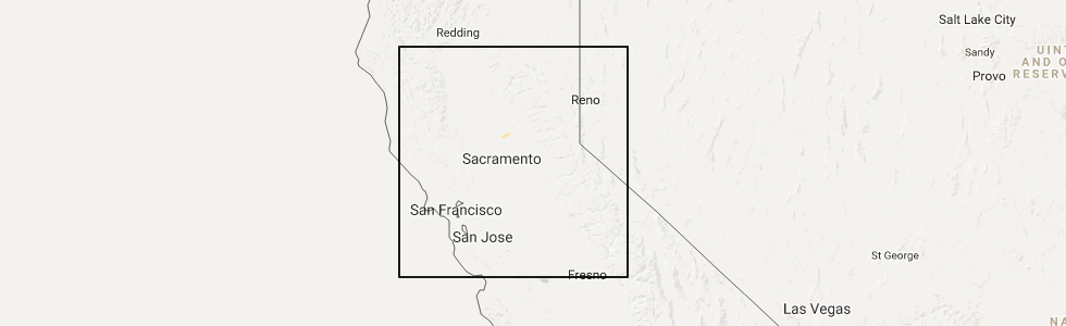
Hail Map for Beale AFB, CA
The Beale AFB, CA area has had 0 reports of on-the-ground hail by trained spotters, and has been under severe weather warnings 0 times during the past 12 months. Doppler radar has detected hail at or near Beale AFB, CA on 1 occasion.
| Name: | Beale AFB, CA |
| Where Located: | 28.8 miles N of Citrus Heights, CA |
| Map: | Google Map for Beale AFB, CA |
| Population: | 1319 |
| Housing Units: | 843 |
| More Info: | Search Google for Beale AFB, CA |
5
The Top Recent Hail Date for Beale AFB, CA is Thursday, April 13, 2017 (1st out of 1)
Hail and Wind Damage Spotted near Beale AFB, CA
| Date / Time | Report Details |
|---|---|
| 4/13/2017 3:11 PM PDT |
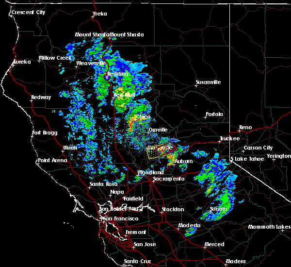 At 311 pm pdt, a severe thunderstorm capable of producing a tornado was located over smartville, or 12 miles west of grass valley, moving northeast at 25 mph (radar indicated rotation). Hazards include tornado. Flying debris will be dangerous to those caught without shelter. damage to roofs, windows, and vehicles will occur. tree damage is likely. this dangerous storm will be near, lake wildwood and rough and ready around 320 pm pdt. grass valley and cedar ridge around 325 pm pdt. Other locations impacted by this tornadic thunderstorm include penn valley. At 311 pm pdt, a severe thunderstorm capable of producing a tornado was located over smartville, or 12 miles west of grass valley, moving northeast at 25 mph (radar indicated rotation). Hazards include tornado. Flying debris will be dangerous to those caught without shelter. damage to roofs, windows, and vehicles will occur. tree damage is likely. this dangerous storm will be near, lake wildwood and rough and ready around 320 pm pdt. grass valley and cedar ridge around 325 pm pdt. Other locations impacted by this tornadic thunderstorm include penn valley.
|
| 4/13/2017 2:51 PM PDT |
 At 250 pm pdt, a severe thunderstorm was located over beale afb, or 10 miles east of marysville, moving east at 5 mph (radar indicated). Hazards include quarter size hail. At 250 pm pdt, a severe thunderstorm was located over beale afb, or 10 miles east of marysville, moving east at 5 mph (radar indicated). Hazards include quarter size hail.
|
Hail Maps for Beale AFB, CA
Connect with Interactive Hail Maps