

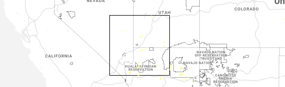
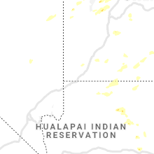
Hail Map for Big Water, UT
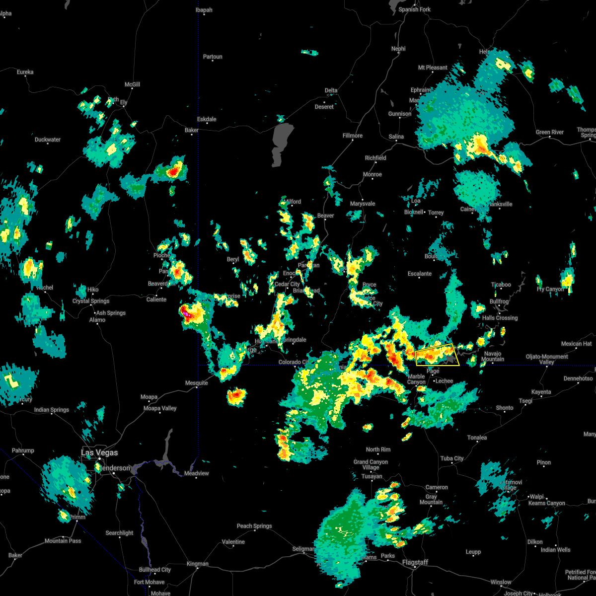
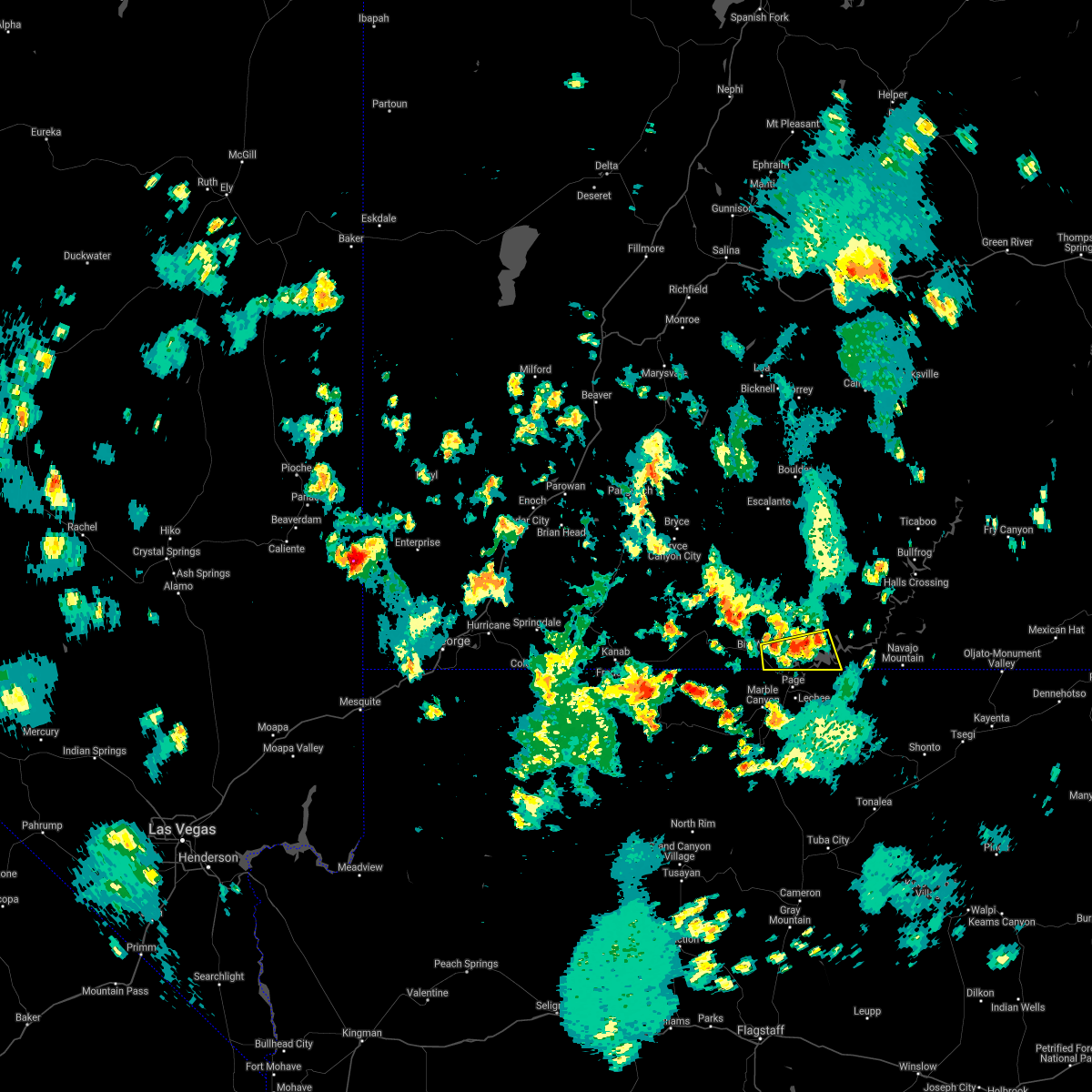
The Big Water, UT area has had 0 reports of on-the-ground hail by trained spotters, and has been under severe weather warnings 0 times during the past 12 months. Doppler radar has detected hail at or near Big Water, UT on 5 occasions, including 1 occasion during the past year.
| Name: | Big Water, UT |
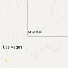
| Where Located: | 106.6 miles E of Saint George, UT |
| Map: | Google Map for Big Water, UT |
| Population: | 475 |
| Housing Units: | 297 |
| More Info: | Search Google for Big Water, UT |
0
The Top Recent Hail Date for Big Water, UT is Wednesday, August 2, 2023 (5th out of 5)
Hail and Wind Damage Spotted near Big Water, UT
| Date / Time | Report Details |
|---|---|
| 6/29/2021 4:18 PM MDT |
 At 418 pm mdt, severe thunderstorms were located along a line extending from lake powell to near big water, moving south at 20 mph (radar indicated). Hazards include 60 mph wind gusts. Expect damage to roofs, siding, and trees. locations impacted include, big water and lake powell. This includes us route 89 between mile markers 0 and 5. At 418 pm mdt, severe thunderstorms were located along a line extending from lake powell to near big water, moving south at 20 mph (radar indicated). Hazards include 60 mph wind gusts. Expect damage to roofs, siding, and trees. locations impacted include, big water and lake powell. This includes us route 89 between mile markers 0 and 5.
|
| 6/29/2021 4:03 PM MDT |
 At 403 pm mdt, a severe thunderstorm was located near lake powell, or 14 miles northeast of page, moving south at 10 mph (radar indicated). Hazards include 60 mph wind gusts. expect damage to roofs, siding, and trees At 403 pm mdt, a severe thunderstorm was located near lake powell, or 14 miles northeast of page, moving south at 10 mph (radar indicated). Hazards include 60 mph wind gusts. expect damage to roofs, siding, and trees
|
| 6/6/2015 1:14 PM MDT | At 113 pm mdt, doppler radar indicated a severe thunderstorm capable of producing quarter size hail and damaging winds in excess of 60 mph. this storm was located 17 miles north of big water, or 32 miles south of escalante, moving northeast at 15 mph. locations impacted include, big water. |
| 6/6/2015 12:44 PM MDT | At 1243 pm mdt, doppler radar indicated a severe thunderstorm capable of producing quarter size hail and damaging winds in excess of 60 mph. this storm was located 15 miles northwest of big water, or 31 miles northwest of page, and moving northeast at 25 mph. |
| 6/6/2015 12:23 PM MDT | At 1222 pm mdt, doppler radar indicated a severe thunderstorm capable of producing quarter size hail and damaging winds in excess of 60 mph. this storm was located 15 miles west of big water, or 30 miles northwest of page, moving northeast at 10 mph. a flash flood warning is also in effect through 315 pm for the lower paria river drainage, the house rock valley, and buckskin gulch areas for rain in association with this storm. locations impacted include, big water. |
| 6/6/2015 12:03 PM MDT | At 1202 pm mdt, doppler radar indicated a severe thunderstorm capable of producing quarter size hail and damaging winds in excess of 60 mph. this storm was located 16 miles west of big water, or 30 miles northwest of page, and moving northeast at 10 mph. |
Hail Maps for Big Water, UT


Connect with Interactive Hail Maps