

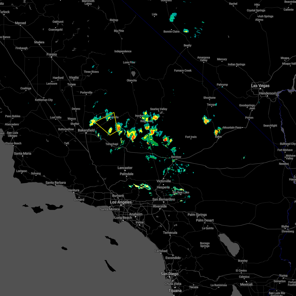
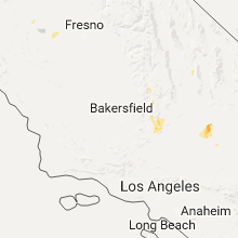
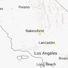
Hail Map for Bodfish, CA
The Bodfish, CA area has had 0 reports of on-the-ground hail by trained spotters, and has been under severe weather warnings 0 times during the past 12 months. Doppler radar has detected hail at or near Bodfish, CA on 2 occasions.
| Name: | Bodfish, CA |
| Where Located: | 33.3 miles ENE of Bakersfield, CA |
| Map: | Google Map for Bodfish, CA |
| Population: | 1956 |
| Housing Units: | 1184 |
| More Info: | Search Google for Bodfish, CA |
0
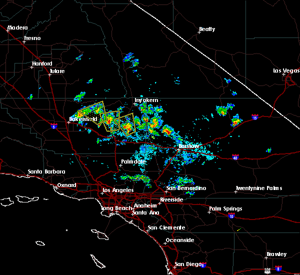
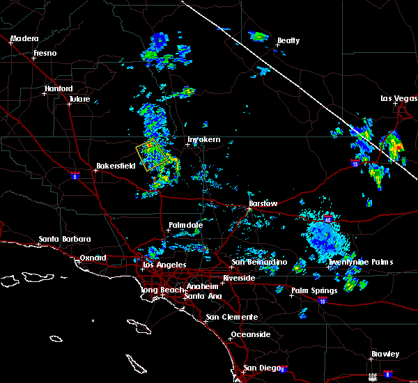
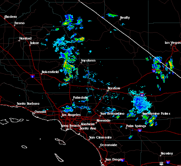
The Top Recent Hail Date for Bodfish, CA is Monday, September 11, 2017 (2nd out of 2)

Hail and Wind Damage Spotted near Bodfish, CA
| Date / Time | Report Details |
|---|---|
| 9/11/2017 4:40 PM PDT |
 At 440 pm pdt, doppler radar indicated a severe thunderstorm capable of producing quarter size hail and damaging winds in excess of 60 mph. this storm was located over south lake cdp, or near lake isabella, and moving north at 25 mph. At 440 pm pdt, doppler radar indicated a severe thunderstorm capable of producing quarter size hail and damaging winds in excess of 60 mph. this storm was located over south lake cdp, or near lake isabella, and moving north at 25 mph.
|
| 9/11/2017 4:10 PM PDT |
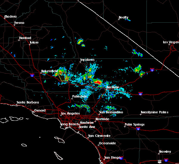
 The severe thunderstorm warning for north central kern county will expire at 415 pm pdt, the storm which prompted the warning has weakened below severe limits, and no longer poses an immediate threat to life or property. therefore the warning will be allowed to expire. The severe thunderstorm warning for north central kern county will expire at 415 pm pdt, the storm which prompted the warning has weakened below severe limits, and no longer poses an immediate threat to life or property. therefore the warning will be allowed to expire.
|
| 9/11/2017 3:59 PM PDT |
 At 356 pm pdt, a severe thunderstorm was located over bodfish, or near lake isabella, moving northwest at 30 mph. the storm is weakening; however, additional thunderstorms remain possible through late this afternoon (radar indicated). Hazards include 60 mph wind gusts and quarter size hail. Hail damage to vehicles is expected. expect wind damage to roofs, siding, and trees. Locations impacted include, lake isabella, squirrel mountain valley, bodfish, south lake cdp, weldon, democrat, breckenridge mtn, mountain mesa, wofford heights and kernville. At 356 pm pdt, a severe thunderstorm was located over bodfish, or near lake isabella, moving northwest at 30 mph. the storm is weakening; however, additional thunderstorms remain possible through late this afternoon (radar indicated). Hazards include 60 mph wind gusts and quarter size hail. Hail damage to vehicles is expected. expect wind damage to roofs, siding, and trees. Locations impacted include, lake isabella, squirrel mountain valley, bodfish, south lake cdp, weldon, democrat, breckenridge mtn, mountain mesa, wofford heights and kernville.
|
| 9/11/2017 3:32 PM PDT |
 At 331 pm pdt, a severe thunderstorm was located 13 miles south of bodfish, or 16 miles south of lake isabella, moving northwest at 30 mph (radar indicated). Hazards include 60 mph wind gusts and quarter size hail. Hail damage to vehicles is expected. Expect wind damage to roofs, siding, and trees. At 331 pm pdt, a severe thunderstorm was located 13 miles south of bodfish, or 16 miles south of lake isabella, moving northwest at 30 mph (radar indicated). Hazards include 60 mph wind gusts and quarter size hail. Hail damage to vehicles is expected. Expect wind damage to roofs, siding, and trees.
|
| 9/3/2017 5:31 PM PDT | California highway patrol reported tree branches down from thunderstorm wind gusts on westbound state route 178 at oswell street south of bodfis in kern county CA, 13 miles N of Bodfish, CA |
| 6/28/2016 4:22 PM PDT |
 The severe thunderstorm warning for northeastern kern county will expire at 430 pm pdt, the storm which prompted the warning has weakened below severe limits. therefore the warning will be allowed to expire. however gusty winds are still possible with this thunderstorm. The severe thunderstorm warning for northeastern kern county will expire at 430 pm pdt, the storm which prompted the warning has weakened below severe limits. therefore the warning will be allowed to expire. however gusty winds are still possible with this thunderstorm.
|
| 6/28/2016 4:01 PM PDT |
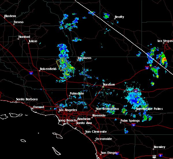
 At 359 pm pdt, doppler radar indicated a complex of severe thunderstorms capable of producing damaging winds in excess of 60 mph. these storms were located from miles southwest of bodfish, or 23 miles northeast of bakersfield, to near kernville and were moving slowly west at 15 mph. locations impacted include, erskine fire, weldon, south lake cdp, squirrel mountain valley, onyx, bodfish, lake isabella, mountain mesa and piutes. At 359 pm pdt, doppler radar indicated a complex of severe thunderstorms capable of producing damaging winds in excess of 60 mph. these storms were located from miles southwest of bodfish, or 23 miles northeast of bakersfield, to near kernville and were moving slowly west at 15 mph. locations impacted include, erskine fire, weldon, south lake cdp, squirrel mountain valley, onyx, bodfish, lake isabella, mountain mesa and piutes.
|
| 6/28/2016 3:45 PM PDT |
 At 343 pm pdt, doppler radar indicated a severe thunderstorm capable of producing damaging winds in excess of 60 mph. this storm was located over bodfish, or 32 miles northeast of bakersfield, and moving west at 15 mph. At 343 pm pdt, doppler radar indicated a severe thunderstorm capable of producing damaging winds in excess of 60 mph. this storm was located over bodfish, or 32 miles northeast of bakersfield, and moving west at 15 mph.
|
Hail Maps for Bodfish, CA
Connect with Interactive Hail Maps