

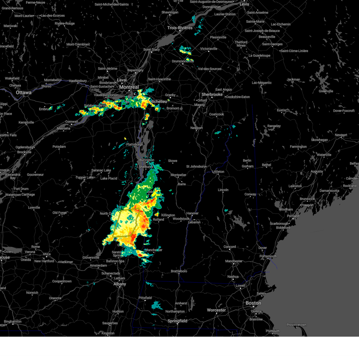
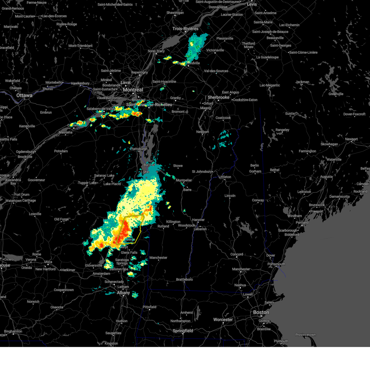
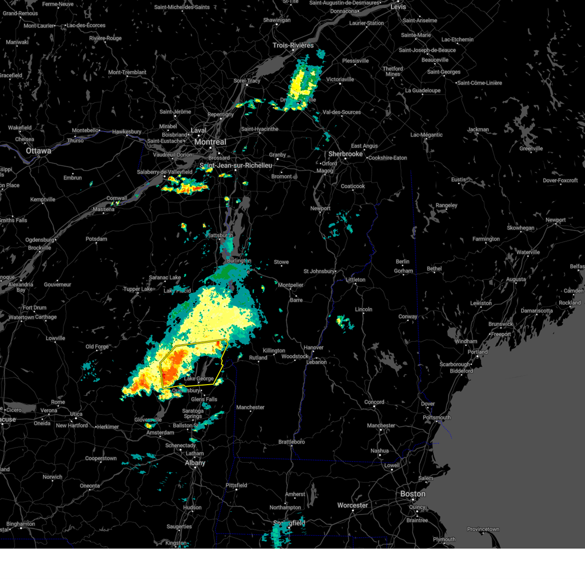
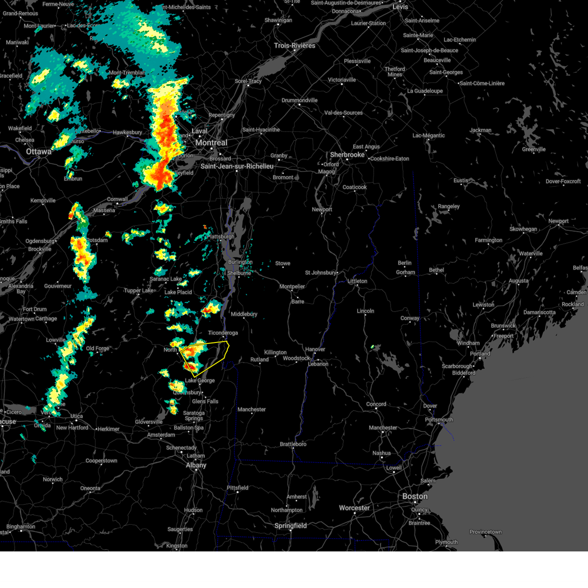
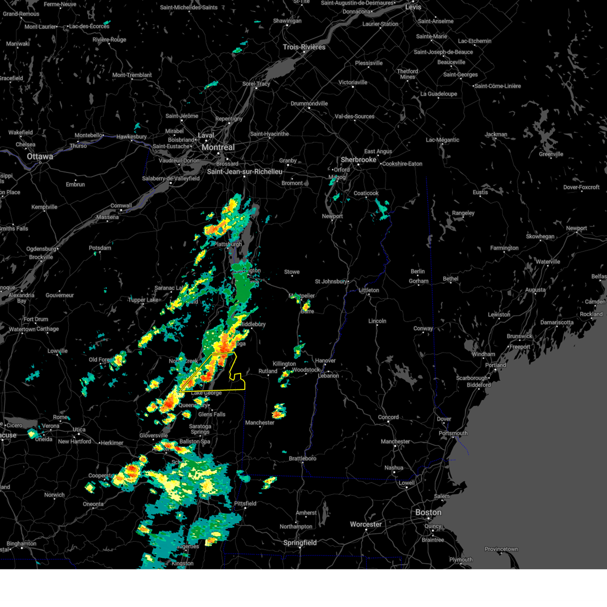
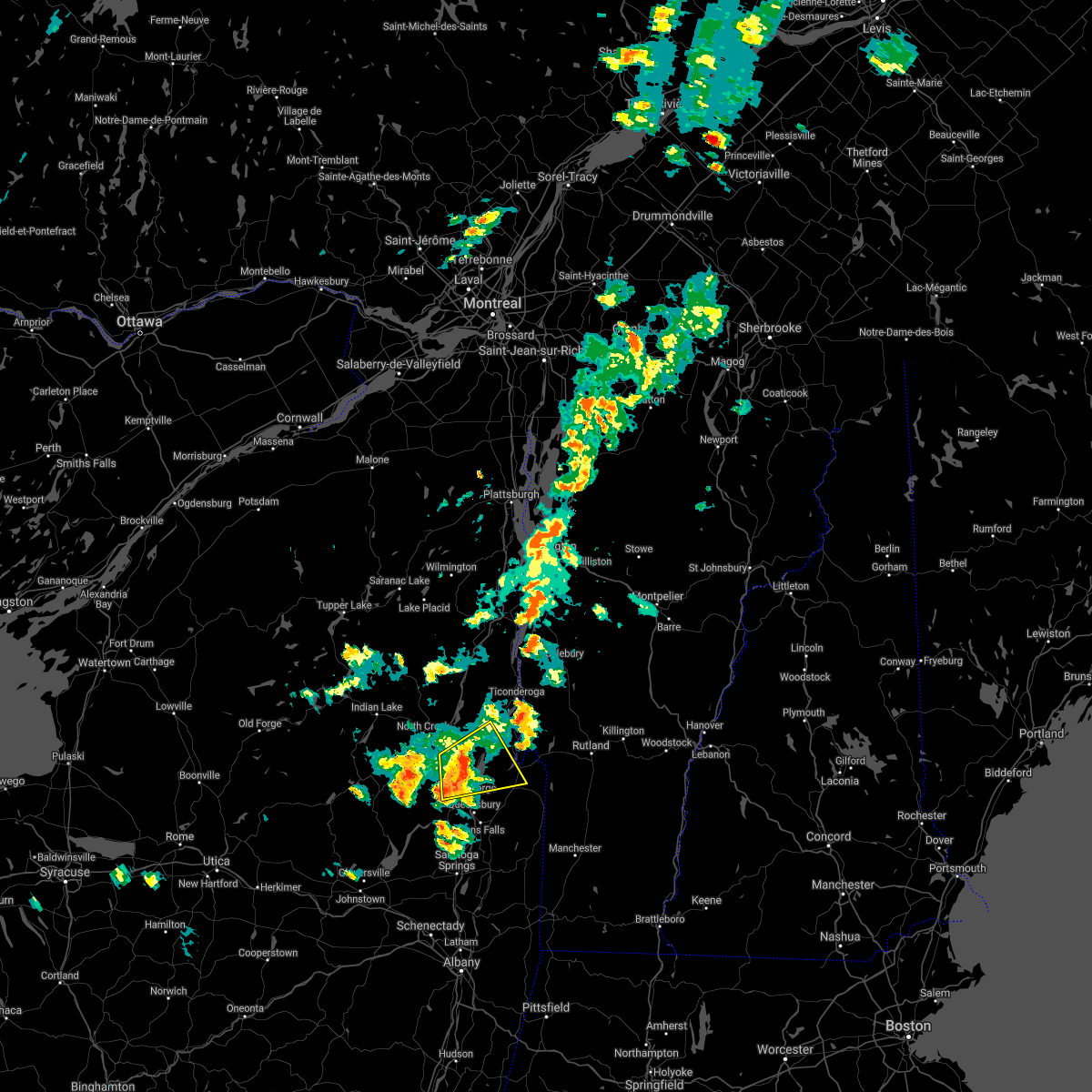
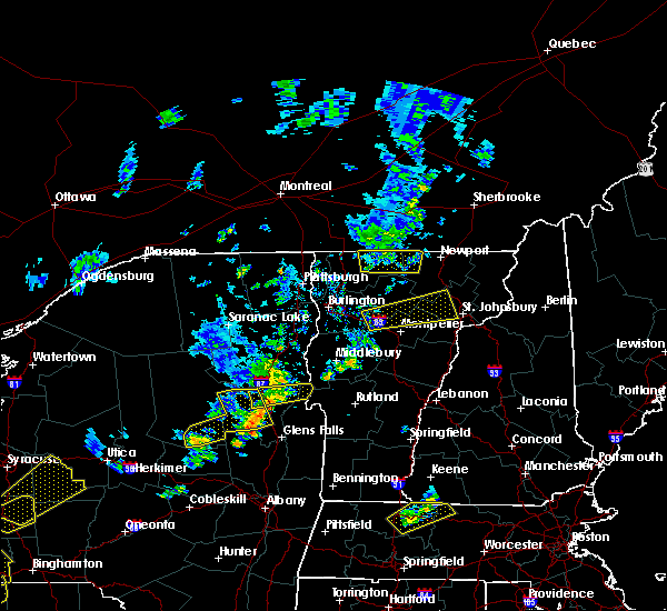
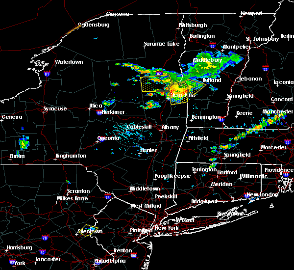
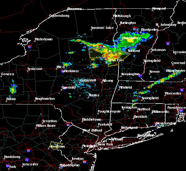
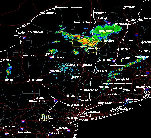
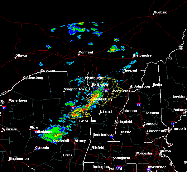
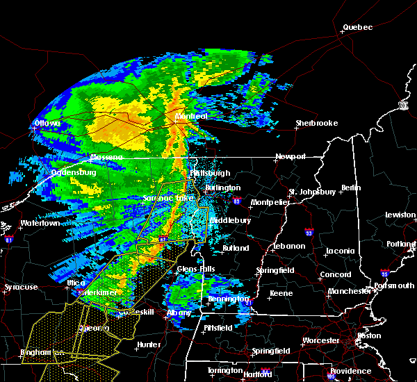
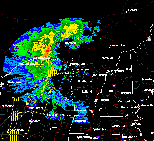
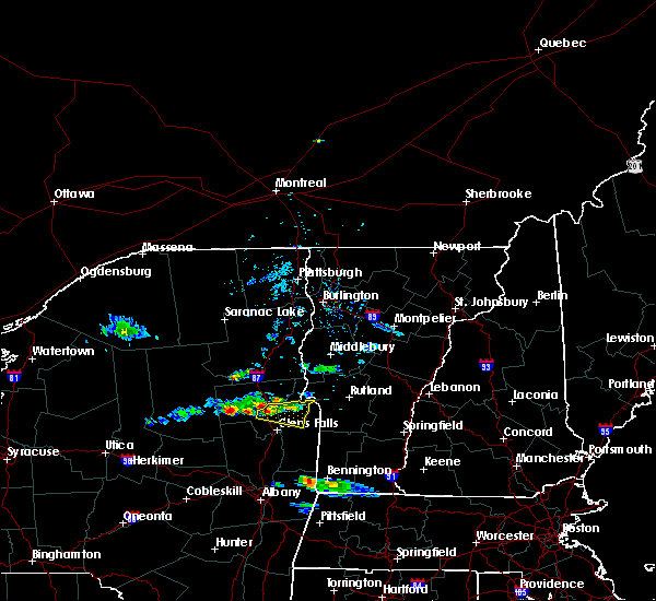
Hail Map for Bolton Landing, NY
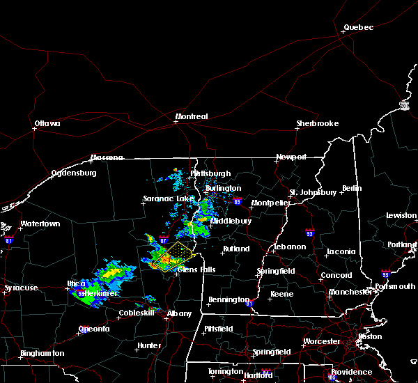
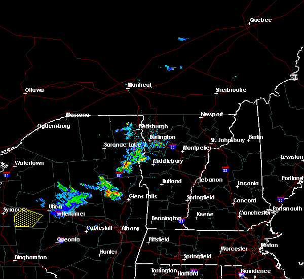
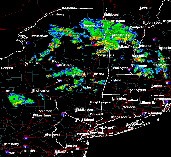
The Bolton Landing, NY area has had 4 reports of on-the-ground hail by trained spotters, and has been under severe weather warnings 10 times during the past 12 months. Doppler radar has detected hail at or near Bolton Landing, NY on 15 occasions, including 2 occasions during the past year.
| Name: | Bolton Landing, NY |
| Where Located: | 53.8 miles NNE of Schenectady, NY |
| Map: | Google Map for Bolton Landing, NY |
| Population: | 513 |
| Housing Units: | 547 |
| More Info: | Search Google for Bolton Landing, NY |
1
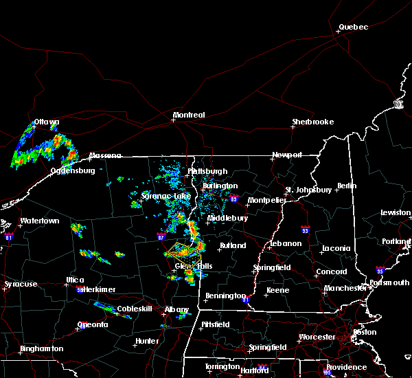
The Top Recent Hail Date for Bolton Landing, NY is Thursday, July 13, 2023 (6th out of 15)

Hail and Wind Damage Spotted near Bolton Landing, NY
| Date / Time | Report Details |
|---|---|
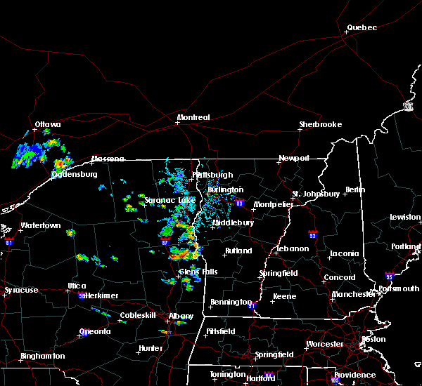
| 9/7/2023 7:28 PM EDT |
 At 728 pm edt, a severe thunderstorm was located over lake luzerne-hadley, or 9 miles southwest of lake george village, moving northeast at 20 mph (radar indicated). Hazards include 60 mph wind gusts and quarter size hail. Hail damage to vehicles is expected. Expect wind damage to roofs, siding, and trees. At 728 pm edt, a severe thunderstorm was located over lake luzerne-hadley, or 9 miles southwest of lake george village, moving northeast at 20 mph (radar indicated). Hazards include 60 mph wind gusts and quarter size hail. Hail damage to vehicles is expected. Expect wind damage to roofs, siding, and trees.
|
| 8/12/2023 11:21 PM EDT |
 The severe thunderstorm warning for northeastern warren and northwestern washington counties will expire at 1130 pm edt, the storms which prompted the warning have moved out of the area. therefore, the warning will be allowed to expire. The severe thunderstorm warning for northeastern warren and northwestern washington counties will expire at 1130 pm edt, the storms which prompted the warning have moved out of the area. therefore, the warning will be allowed to expire.
|
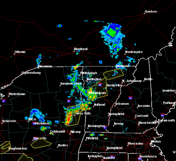
| 8/12/2023 10:50 PM EDT |
 At 1049 pm edt, severe thunderstorms were located along a line extending from near schroon lake to near lake luzerne campground, moving east at 25 mph (radar indicated). Hazards include 60 mph wind gusts and quarter size hail. Hail damage to vehicles is expected. expect wind damage to roofs, siding, and trees. locations impacted include, warrensburg, lake george village, hague, rogers rock campground, bolton landing, huletts landing, putnam, mount hope, bolton, wright, lake george, shelving rock, thurman station, cleverdale, south bay, big hollow, chipman point, putnam station, south bay village and snody dock. hail threat, radar indicated max hail size, 1. 00 in wind threat, radar indicated max wind gust, 60 mph. At 1049 pm edt, severe thunderstorms were located along a line extending from near schroon lake to near lake luzerne campground, moving east at 25 mph (radar indicated). Hazards include 60 mph wind gusts and quarter size hail. Hail damage to vehicles is expected. expect wind damage to roofs, siding, and trees. locations impacted include, warrensburg, lake george village, hague, rogers rock campground, bolton landing, huletts landing, putnam, mount hope, bolton, wright, lake george, shelving rock, thurman station, cleverdale, south bay, big hollow, chipman point, putnam station, south bay village and snody dock. hail threat, radar indicated max hail size, 1. 00 in wind threat, radar indicated max wind gust, 60 mph.
|
| 8/12/2023 10:25 PM EDT |
 At 1024 pm edt, severe thunderstorms were located along a line extending from near eagle point campground to 7 miles northwest of day center, moving east at 25 mph (radar indicated). Hazards include 60 mph wind gusts and quarter size hail. Hail damage to vehicles is expected. Expect wind damage to roofs, siding, and trees. At 1024 pm edt, severe thunderstorms were located along a line extending from near eagle point campground to 7 miles northwest of day center, moving east at 25 mph (radar indicated). Hazards include 60 mph wind gusts and quarter size hail. Hail damage to vehicles is expected. Expect wind damage to roofs, siding, and trees.
|
| 7/13/2023 6:02 PM EDT |
 At 602 pm edt, severe thunderstorms were located along a line extending from 6 miles northwest of huletts landing to near corinth to near galway, moving east at 35 mph (radar indicated). Hazards include 60 mph wind gusts and penny size hail. expect damage to roofs, siding, and trees At 602 pm edt, severe thunderstorms were located along a line extending from 6 miles northwest of huletts landing to near corinth to near galway, moving east at 35 mph (radar indicated). Hazards include 60 mph wind gusts and penny size hail. expect damage to roofs, siding, and trees
|
| 7/13/2023 5:46 PM EDT |
 At 546 pm edt, severe thunderstorms were located along a line extending from 6 miles west of hague to near sharon springs, moving east at 45 mph (radar indicated). Hazards include 70 mph wind gusts and quarter size hail. Hail damage to vehicles is expected. expect considerable tree damage. wind damage is also likely to mobile homes, roofs, and outbuildings. locations impacted include, amsterdam, gloversville, johnstown, warrensburg, canajoharie, fonda, johnsburg, fort plain, ephratah, broadalbin, hagaman, edinburg, northville, mayfield, hague, sharon springs, fort johnson, ames, eagle point campground and day center. thunderstorm damage threat, considerable hail threat, radar indicated max hail size, 1. 00 in wind threat, radar indicated max wind gust, 70 mph. At 546 pm edt, severe thunderstorms were located along a line extending from 6 miles west of hague to near sharon springs, moving east at 45 mph (radar indicated). Hazards include 70 mph wind gusts and quarter size hail. Hail damage to vehicles is expected. expect considerable tree damage. wind damage is also likely to mobile homes, roofs, and outbuildings. locations impacted include, amsterdam, gloversville, johnstown, warrensburg, canajoharie, fonda, johnsburg, fort plain, ephratah, broadalbin, hagaman, edinburg, northville, mayfield, hague, sharon springs, fort johnson, ames, eagle point campground and day center. thunderstorm damage threat, considerable hail threat, radar indicated max hail size, 1. 00 in wind threat, radar indicated max wind gust, 70 mph.
|
| 1/1/0001 12:00 AM | Several trees and powerlines down in warren county NY, 3.1 miles S of Bolton Landing, NY |
| 7/13/2023 5:15 PM EDT |
 At 515 pm edt, severe thunderstorms were located along a line extending from near north creek to near cooperstown, moving east at 55 mph (radar indicated). Hazards include 60 mph wind gusts and quarter size hail. Hail damage to vehicles is expected. Expect wind damage to roofs, siding, and trees. At 515 pm edt, severe thunderstorms were located along a line extending from near north creek to near cooperstown, moving east at 55 mph (radar indicated). Hazards include 60 mph wind gusts and quarter size hail. Hail damage to vehicles is expected. Expect wind damage to roofs, siding, and trees.
|
| 7/13/2023 3:27 PM EDT |
 At 327 pm edt, a severe thunderstorm was located near chestertown, or near warrensburg, moving northeast at 35 mph (radar indicated). Hazards include 60 mph wind gusts and quarter size hail. Hail damage to vehicles is expected. Expect wind damage to roofs, siding, and trees. At 327 pm edt, a severe thunderstorm was located near chestertown, or near warrensburg, moving northeast at 35 mph (radar indicated). Hazards include 60 mph wind gusts and quarter size hail. Hail damage to vehicles is expected. Expect wind damage to roofs, siding, and trees.
|
| 7/7/2023 3:20 PM EDT |
 At 320 pm edt, a severe thunderstorm was located near lake george village, moving east at 20 mph (radar indicated). Hazards include 60 mph wind gusts and quarter size hail. Hail damage to vehicles is expected. expect wind damage to roofs, siding, and trees. this severe thunderstorm will be near, hartford and comstock around 345 pm edt. whitehall around 350 pm edt. granville, poultney village and wells around 400 pm edt. other locations impacted by this severe thunderstorm include thurman station, cleverdale, beartown, dunham basin, smiths basin, lake luzerne, adamsville, north granville, south bay village and south granville. please report hail size, damaging winds and reports of trees down to the national weather service by email at alb. stormreport@noaa. gov, on facebook at www. facebook. com/nwsalbany or twitter @nwsalbany hail threat, radar indicated max hail size, 1. 00 in wind threat, radar indicated max wind gust, 60 mph. At 320 pm edt, a severe thunderstorm was located near lake george village, moving east at 20 mph (radar indicated). Hazards include 60 mph wind gusts and quarter size hail. Hail damage to vehicles is expected. expect wind damage to roofs, siding, and trees. this severe thunderstorm will be near, hartford and comstock around 345 pm edt. whitehall around 350 pm edt. granville, poultney village and wells around 400 pm edt. other locations impacted by this severe thunderstorm include thurman station, cleverdale, beartown, dunham basin, smiths basin, lake luzerne, adamsville, north granville, south bay village and south granville. please report hail size, damaging winds and reports of trees down to the national weather service by email at alb. stormreport@noaa. gov, on facebook at www. facebook. com/nwsalbany or twitter @nwsalbany hail threat, radar indicated max hail size, 1. 00 in wind threat, radar indicated max wind gust, 60 mph.
|
| 7/7/2023 2:41 PM EDT | Tree on wir in warren county NY, 1.2 miles SSW of Bolton Landing, NY |
| 7/7/2023 2:29 PM EDT |
 At 229 pm edt, severe thunderstorms were located along a line extending from near orwell to near hague to near bolton landing to warrensburg, moving northeast at 55 mph (radar indicated). Hazards include 60 mph wind gusts and quarter size hail. Hail damage to vehicles is expected. expect wind damage to roofs, siding, and trees. severe thunderstorms will be near, whitehall around 240 pm edt. west haven around 250 pm edt. hague around 255 pm edt. other locations impacted by these severe thunderstorms include shelving rock, thurman station, south bay, chipman point, starbuckville, wright, putnam station, south bay village, snody dock and mount hope. please report hail size, damaging winds and reports of trees down to the national weather service by email at alb. stormreport@noaa. gov, on facebook at www. facebook. com/nwsalbany or twitter @nwsalbany hail threat, radar indicated max hail size, 1. 00 in wind threat, radar indicated max wind gust, 60 mph. At 229 pm edt, severe thunderstorms were located along a line extending from near orwell to near hague to near bolton landing to warrensburg, moving northeast at 55 mph (radar indicated). Hazards include 60 mph wind gusts and quarter size hail. Hail damage to vehicles is expected. expect wind damage to roofs, siding, and trees. severe thunderstorms will be near, whitehall around 240 pm edt. west haven around 250 pm edt. hague around 255 pm edt. other locations impacted by these severe thunderstorms include shelving rock, thurman station, south bay, chipman point, starbuckville, wright, putnam station, south bay village, snody dock and mount hope. please report hail size, damaging winds and reports of trees down to the national weather service by email at alb. stormreport@noaa. gov, on facebook at www. facebook. com/nwsalbany or twitter @nwsalbany hail threat, radar indicated max hail size, 1. 00 in wind threat, radar indicated max wind gust, 60 mph.
|
| 7/12/2022 2:27 PM EDT |
 At 226 pm edt, severe thunderstorms were located along a line extending from near huletts landing to near lake george village to northville, moving east at 50 mph (radar indicated). Hazards include 60 mph wind gusts and quarter size hail. Hail damage to vehicles is expected. Expect wind damage to roofs, siding, and trees. At 226 pm edt, severe thunderstorms were located along a line extending from near huletts landing to near lake george village to northville, moving east at 50 mph (radar indicated). Hazards include 60 mph wind gusts and quarter size hail. Hail damage to vehicles is expected. Expect wind damage to roofs, siding, and trees.
|
| 10/16/2021 2:20 PM EDT |
 At 220 pm edt, severe thunderstorms were located along a line extending from eagle point campground to lake luzerne-hadley to 6 miles northwest of rock city falls, moving east at 35 mph (radar indicated). Hazards include 60 mph wind gusts. Expect damage to roofs, siding, and trees. these severe storms will be near, scaroon manor public campground, eagle point campground and chestertown around 225 pm edt. lake george village around 230 pm edt. glens falls, glens falls north and west glens falls around 235 pm edt. saratoga springs and hudson falls around 240 pm edt. hague and rogers rock campground around 250 pm edt. Other locations impacted by these severe thunderstorms include thurman station, cleverdale, beartown, lake luzerne, wevertown, grangerville, kings station, northumberland, greenfield center and wiley corners. At 220 pm edt, severe thunderstorms were located along a line extending from eagle point campground to lake luzerne-hadley to 6 miles northwest of rock city falls, moving east at 35 mph (radar indicated). Hazards include 60 mph wind gusts. Expect damage to roofs, siding, and trees. these severe storms will be near, scaroon manor public campground, eagle point campground and chestertown around 225 pm edt. lake george village around 230 pm edt. glens falls, glens falls north and west glens falls around 235 pm edt. saratoga springs and hudson falls around 240 pm edt. hague and rogers rock campground around 250 pm edt. Other locations impacted by these severe thunderstorms include thurman station, cleverdale, beartown, lake luzerne, wevertown, grangerville, kings station, northumberland, greenfield center and wiley corners.
|
| 10/16/2021 1:48 PM EDT |
 At 148 pm edt, severe thunderstorms were located along a line extending from near indian lake to near northville to near mayfield, moving east at 40 mph (radar indicated). Hazards include 60 mph wind gusts. Expect damage to roofs, siding, and trees. severe thunderstorms will be near, day center around 200 pm edt. lake luzerne-hadley, lake luzerne campground, scaroon manor public campground and eagle point campground around 215 pm edt. saratoga springs, glens falls, lake george village, corinth, glens falls north and west glens falls around 225 pm edt. hudson falls around 230 pm edt. other locations impacted by these severe thunderstorms include lake luzerne, wevertown, grangerville, glenwild, northumberland, greenfield center, wiley corners, conklingville, north river and porter corners. please report hail size, damaging winds and reports of trees down to the national weather service by email at alb. stormreport@noaa. gov, on facebook at www. facebook. Com/nwsalbany or twitter @nwsalbany. At 148 pm edt, severe thunderstorms were located along a line extending from near indian lake to near northville to near mayfield, moving east at 40 mph (radar indicated). Hazards include 60 mph wind gusts. Expect damage to roofs, siding, and trees. severe thunderstorms will be near, day center around 200 pm edt. lake luzerne-hadley, lake luzerne campground, scaroon manor public campground and eagle point campground around 215 pm edt. saratoga springs, glens falls, lake george village, corinth, glens falls north and west glens falls around 225 pm edt. hudson falls around 230 pm edt. other locations impacted by these severe thunderstorms include lake luzerne, wevertown, grangerville, glenwild, northumberland, greenfield center, wiley corners, conklingville, north river and porter corners. please report hail size, damaging winds and reports of trees down to the national weather service by email at alb. stormreport@noaa. gov, on facebook at www. facebook. Com/nwsalbany or twitter @nwsalbany.
|
| 9/8/2021 6:33 PM EDT |
 At 633 pm edt, a severe thunderstorm was located over lake george village, moving northeast at 55 mph (radar indicated). Hazards include 60 mph wind gusts. expect damage to roofs, siding, and trees At 633 pm edt, a severe thunderstorm was located over lake george village, moving northeast at 55 mph (radar indicated). Hazards include 60 mph wind gusts. expect damage to roofs, siding, and trees
|
| 9/8/2021 6:28 PM EDT | Downed trees between walker lane and stonebridge road in the town of hague in warren county NY, 2.9 miles SSW of Bolton Landing, NY |
| 9/8/2021 6:11 PM EDT |
 At 611 pm edt, a severe thunderstorm was located near warrensburg, moving northeast at 45 mph (radar indicated). Hazards include 60 mph wind gusts. expect damage to roofs, siding, and trees At 611 pm edt, a severe thunderstorm was located near warrensburg, moving northeast at 45 mph (radar indicated). Hazards include 60 mph wind gusts. expect damage to roofs, siding, and trees
|
| 6/21/2021 8:29 PM EDT |
 At 828 pm edt, severe thunderstorms were located along a line extending from 6 miles east of scaroon manor public campground to bolton landing to near corinth, moving east at 40 mph (radar indicated). Hazards include 60 mph wind gusts and penny size hail. expect damage to roofs, siding, and trees At 828 pm edt, severe thunderstorms were located along a line extending from 6 miles east of scaroon manor public campground to bolton landing to near corinth, moving east at 40 mph (radar indicated). Hazards include 60 mph wind gusts and penny size hail. expect damage to roofs, siding, and trees
|
| 6/21/2021 8:26 PM EDT | Tree on wire in warren county NY, 2.3 miles NE of Bolton Landing, NY |
| 6/21/2021 8:20 PM EDT |
 At 820 pm edt, severe thunderstorms were located along a line extending from near chestertown to near lake luzerne-hadley to near edinburg, moving northeast at 50 mph (radar indicated). Hazards include 60 mph wind gusts and penny size hail. Expect damage to roofs, siding, and trees. Locations impacted include, warrensburg, lake george village, corinth, edinburg, day center, bolton landing, west glens falls, lake luzerne campground, chestertown, glens falls north, queensbury, lake luzerne, bolton, hadley, lake george, stony creek, thurman station, cleverdale, beartown and conklingville. At 820 pm edt, severe thunderstorms were located along a line extending from near chestertown to near lake luzerne-hadley to near edinburg, moving northeast at 50 mph (radar indicated). Hazards include 60 mph wind gusts and penny size hail. Expect damage to roofs, siding, and trees. Locations impacted include, warrensburg, lake george village, corinth, edinburg, day center, bolton landing, west glens falls, lake luzerne campground, chestertown, glens falls north, queensbury, lake luzerne, bolton, hadley, lake george, stony creek, thurman station, cleverdale, beartown and conklingville.
|
| 6/21/2021 7:52 PM EDT |
 At 752 pm edt, severe thunderstorms were located along a line extending from 6 miles southwest of north creek to 6 miles northwest of day center to near mayfield, moving northeast at 50 mph (radar indicated). Hazards include 60 mph wind gusts and penny size hail. Expect damage to roofs, siding, and trees. Locations impacted include, warrensburg, lake george village, corinth, johnsburg, edinburg, northville, mayfield, eagle point campground, cranberry creek, day center, northampton beach public campground, bolton landing, glens falls north, caroga lake public campground, west glens falls, lake luzerne campground, chestertown, north creek, sacandaga campground and scaroon manor public campground. At 752 pm edt, severe thunderstorms were located along a line extending from 6 miles southwest of north creek to 6 miles northwest of day center to near mayfield, moving northeast at 50 mph (radar indicated). Hazards include 60 mph wind gusts and penny size hail. Expect damage to roofs, siding, and trees. Locations impacted include, warrensburg, lake george village, corinth, johnsburg, edinburg, northville, mayfield, eagle point campground, cranberry creek, day center, northampton beach public campground, bolton landing, glens falls north, caroga lake public campground, west glens falls, lake luzerne campground, chestertown, north creek, sacandaga campground and scaroon manor public campground.
|
| 6/21/2021 7:28 PM EDT |
 At 727 pm edt, severe thunderstorms were located along a line extending from near speculator to 9 miles southwest of sacandaga campground to near stratford, moving east at 50 mph (radar indicated). Hazards include 60 mph wind gusts and penny size hail. expect damage to roofs, siding, and trees At 727 pm edt, severe thunderstorms were located along a line extending from near speculator to 9 miles southwest of sacandaga campground to near stratford, moving east at 50 mph (radar indicated). Hazards include 60 mph wind gusts and penny size hail. expect damage to roofs, siding, and trees
|
| 6/21/2021 5:03 PM EDT |
 At 503 pm edt, severe thunderstorms were located along a line extending from near huletts landing to near bolton landing to lake george village, moving east at 35 mph (radar indicated). Hazards include 60 mph wind gusts and penny size hail. Expect damage to roofs, siding, and trees. Locations impacted include, warrensburg, bolton landing, huletts landing, mount hope, bolton, lake george, shelving rock, south bay, cleverdale, big hollow, south bay village, diamond point, pilot knob, sabbath day point, brayton, iron furnace, rockhurst, north bolton and hogtown. At 503 pm edt, severe thunderstorms were located along a line extending from near huletts landing to near bolton landing to lake george village, moving east at 35 mph (radar indicated). Hazards include 60 mph wind gusts and penny size hail. Expect damage to roofs, siding, and trees. Locations impacted include, warrensburg, bolton landing, huletts landing, mount hope, bolton, lake george, shelving rock, south bay, cleverdale, big hollow, south bay village, diamond point, pilot knob, sabbath day point, brayton, iron furnace, rockhurst, north bolton and hogtown.
|
| 6/21/2021 5:03 PM EDT |
 At 503 pm edt, a severe thunderstorm was located near bolton landing, or 7 miles west of whitehall, moving east at 30 mph (radar indicated). Hazards include 60 mph wind gusts and penny size hail. expect damage to roofs, siding, and trees At 503 pm edt, a severe thunderstorm was located near bolton landing, or 7 miles west of whitehall, moving east at 30 mph (radar indicated). Hazards include 60 mph wind gusts and penny size hail. expect damage to roofs, siding, and trees
|
| 6/21/2021 4:56 PM EDT | Tree and wires down near route 9 in warren county NY, 1.8 miles SSW of Bolton Landing, NY |
| 6/21/2021 4:48 PM EDT |
 At 447 pm edt, a severe thunderstorm was located near warrensburg, moving east at 40 mph (radar indicated). Hazards include 60 mph wind gusts and penny size hail. expect damage to roofs, siding, and trees At 447 pm edt, a severe thunderstorm was located near warrensburg, moving east at 40 mph (radar indicated). Hazards include 60 mph wind gusts and penny size hail. expect damage to roofs, siding, and trees
|
| 8/10/2020 3:47 PM EDT |
 At 346 pm edt, a severe thunderstorm was located near bolton landing, or 7 miles west of whitehall, moving southeast at 10 mph (radar indicated). Hazards include 60 mph wind gusts and quarter size hail. Hail damage to vehicles is expected. expect wind damage to roofs, siding, and trees. Locations impacted include, whitehall, hartford, comstock, bolton landing, huletts landing, mount hope, hampton, shelving rock, south bay, low hampton, north granville, south bay village, snody dock, truthville, sabbath day point, hampton flats, grays corner, west granville, east whitehall and ottenburgs ramp. At 346 pm edt, a severe thunderstorm was located near bolton landing, or 7 miles west of whitehall, moving southeast at 10 mph (radar indicated). Hazards include 60 mph wind gusts and quarter size hail. Hail damage to vehicles is expected. expect wind damage to roofs, siding, and trees. Locations impacted include, whitehall, hartford, comstock, bolton landing, huletts landing, mount hope, hampton, shelving rock, south bay, low hampton, north granville, south bay village, snody dock, truthville, sabbath day point, hampton flats, grays corner, west granville, east whitehall and ottenburgs ramp.
|
| 8/10/2020 3:24 PM EDT |
 At 324 pm edt, a severe thunderstorm was located near huletts landing, or 8 miles northwest of whitehall, moving southeast at 10 mph (radar indicated). Hazards include 60 mph wind gusts and quarter size hail. Hail damage to vehicles is expected. Expect wind damage to roofs, siding, and trees. At 324 pm edt, a severe thunderstorm was located near huletts landing, or 8 miles northwest of whitehall, moving southeast at 10 mph (radar indicated). Hazards include 60 mph wind gusts and quarter size hail. Hail damage to vehicles is expected. Expect wind damage to roofs, siding, and trees.
|
| 5/29/2020 5:48 PM EDT |
 At 548 pm edt, a severe thunderstorm was located near bolton landing, or near warrensburg, moving northeast at 50 mph (radar indicated). Hazards include 60 mph wind gusts and quarter size hail. Hail damage to vehicles is expected. expect wind damage to roofs, siding, and trees. this severe storm will be near, huletts landing around 600 pm edt. hague around 605 pm edt. rogers rock campground around 610 pm edt. Other locations impacted by this severe thunderstorm include thurman station, cleverdale, beartown, tenantville, lake luzerne, putnam station, south bay village, snody dock, conklingville and sabbath day point. At 548 pm edt, a severe thunderstorm was located near bolton landing, or near warrensburg, moving northeast at 50 mph (radar indicated). Hazards include 60 mph wind gusts and quarter size hail. Hail damage to vehicles is expected. expect wind damage to roofs, siding, and trees. this severe storm will be near, huletts landing around 600 pm edt. hague around 605 pm edt. rogers rock campground around 610 pm edt. Other locations impacted by this severe thunderstorm include thurman station, cleverdale, beartown, tenantville, lake luzerne, putnam station, south bay village, snody dock, conklingville and sabbath day point.
|
| 5/29/2020 5:22 PM EDT |
 At 521 pm edt, a severe thunderstorm was located over day center, or 17 miles southwest of lake george village, moving northeast at 50 mph (radar indicated). Hazards include 60 mph wind gusts and quarter size hail. Hail damage to vehicles is expected. expect wind damage to roofs, siding, and trees. this severe thunderstorm will be near, lake luzerne-hadley around 530 pm edt. lake luzerne campground around 535 pm edt. lake george village around 540 pm edt. warrensburg and chestertown around 550 pm edt. bolton landing around 555 pm edt. huletts landing around 605 pm edt. hague around 610 pm edt. rogers rock campground around 615 pm edt. Other locations impacted by this severe thunderstorm include thurman station, cleverdale, beartown, tenantville, lake luzerne, putnam station, south bay village, snody dock, conklingville and sabbath day point. At 521 pm edt, a severe thunderstorm was located over day center, or 17 miles southwest of lake george village, moving northeast at 50 mph (radar indicated). Hazards include 60 mph wind gusts and quarter size hail. Hail damage to vehicles is expected. expect wind damage to roofs, siding, and trees. this severe thunderstorm will be near, lake luzerne-hadley around 530 pm edt. lake luzerne campground around 535 pm edt. lake george village around 540 pm edt. warrensburg and chestertown around 550 pm edt. bolton landing around 555 pm edt. huletts landing around 605 pm edt. hague around 610 pm edt. rogers rock campground around 615 pm edt. Other locations impacted by this severe thunderstorm include thurman station, cleverdale, beartown, tenantville, lake luzerne, putnam station, south bay village, snody dock, conklingville and sabbath day point.
|
| 5/29/2020 2:24 PM EDT |
 At 224 pm edt, severe thunderstorms were located along a line extending from west glens falls to near rock city falls, moving northeast at 35 mph (radar indicated). Hazards include 60 mph wind gusts and quarter size hail. Hail damage to vehicles is expected. Expect wind damage to roofs, siding, and trees. At 224 pm edt, severe thunderstorms were located along a line extending from west glens falls to near rock city falls, moving northeast at 35 mph (radar indicated). Hazards include 60 mph wind gusts and quarter size hail. Hail damage to vehicles is expected. Expect wind damage to roofs, siding, and trees.
|
| 7/30/2019 5:55 PM EDT |
 The severe thunderstorm warning for central warren and northern washington counties will expire at 600 pm edt, the storm which prompted the warning has weakened below severe limits, and no longer poses an immediate threat to life or property. therefore, the warning will be allowed to expire. however small hail and gusty winds are still possible with this thunderstorm in northern washington county. a severe thunderstorm watch remains in effect until 900 pm edt for east central new york. The severe thunderstorm warning for central warren and northern washington counties will expire at 600 pm edt, the storm which prompted the warning has weakened below severe limits, and no longer poses an immediate threat to life or property. therefore, the warning will be allowed to expire. however small hail and gusty winds are still possible with this thunderstorm in northern washington county. a severe thunderstorm watch remains in effect until 900 pm edt for east central new york.
|
| 7/30/2019 4:56 PM EDT |
 At 455 pm edt, a severe thunderstorm was located over lake luzerne campground, or near lake george village, moving east at 50 mph (radar indicated). Hazards include 60 mph wind gusts. expect damage to roofs, siding, and trees At 455 pm edt, a severe thunderstorm was located over lake luzerne campground, or near lake george village, moving east at 50 mph (radar indicated). Hazards include 60 mph wind gusts. expect damage to roofs, siding, and trees
|
| 5/19/2019 5:46 PM EDT |
 At 546 pm edt, a severe thunderstorm was located near lake george village, moving east at 30 mph (radar indicated). Hazards include 60 mph wind gusts and quarter size hail. Hail damage to vehicles is expected. Expect wind damage to roofs, siding, and trees. At 546 pm edt, a severe thunderstorm was located near lake george village, moving east at 30 mph (radar indicated). Hazards include 60 mph wind gusts and quarter size hail. Hail damage to vehicles is expected. Expect wind damage to roofs, siding, and trees.
|
| 8/4/2018 5:07 PM EDT |
 The severe thunderstorm warning for warren county will expire at 515 pm edt, the storm which prompted the warning has moved out of the area. therefore, the warning will be allowed to expire. however heavy rain is still possible with this thunderstorm. The severe thunderstorm warning for warren county will expire at 515 pm edt, the storm which prompted the warning has moved out of the area. therefore, the warning will be allowed to expire. however heavy rain is still possible with this thunderstorm.
|
| 8/4/2018 4:55 PM EDT |
 At 455 pm edt, a severe thunderstorm was located near bolton landing, or near lake george village, moving southeast at 25 mph (radar indicated). Hazards include 60 mph wind gusts and quarter size hail. Hail damage to vehicles is expected. expect wind damage to roofs, siding, and trees. Locations impacted include, warrensburg, johnsburg, eagle point campground, chestertown, north creek, bolton landing, scaroon manor public campground, bolton, thurman, shelving rock, thurman station, cleverdale, sodom, starbuckville, edwards hill, wevertown, pottersville, holcombville, north river and south horicon. At 455 pm edt, a severe thunderstorm was located near bolton landing, or near lake george village, moving southeast at 25 mph (radar indicated). Hazards include 60 mph wind gusts and quarter size hail. Hail damage to vehicles is expected. expect wind damage to roofs, siding, and trees. Locations impacted include, warrensburg, johnsburg, eagle point campground, chestertown, north creek, bolton landing, scaroon manor public campground, bolton, thurman, shelving rock, thurman station, cleverdale, sodom, starbuckville, edwards hill, wevertown, pottersville, holcombville, north river and south horicon.
|
| 8/4/2018 4:44 PM EDT |
 At 408 pm edt, severe thunderstorms were located along a line extending from near hague to near north creek, moving east at 15 mph (radar indicated). Hazards include 60 mph wind gusts and quarter size hail. Hail damage to vehicles is expected. expect wind damage to roofs, siding, and trees. severe thunderstorms will be near, johnsburg around 440 pm edt. eagle point campground and scaroon manor public campground around 500 pm edt. chestertown around 505 pm edt. warrensburg and bolton landing around 515 pm edt. Other locations impacted by these severe thunderstorms include shelving rock, thurman station, cleverdale, sodom, starbuckville, edwards hill, wevertown, pottersville, holcombville and north river. At 408 pm edt, severe thunderstorms were located along a line extending from near hague to near north creek, moving east at 15 mph (radar indicated). Hazards include 60 mph wind gusts and quarter size hail. Hail damage to vehicles is expected. expect wind damage to roofs, siding, and trees. severe thunderstorms will be near, johnsburg around 440 pm edt. eagle point campground and scaroon manor public campground around 500 pm edt. chestertown around 505 pm edt. warrensburg and bolton landing around 515 pm edt. Other locations impacted by these severe thunderstorms include shelving rock, thurman station, cleverdale, sodom, starbuckville, edwards hill, wevertown, pottersville, holcombville and north river.
|
| 8/4/2018 4:43 PM EDT | Trees down on route 9n in warren county NY, 0.6 miles WNW of Bolton Landing, NY |
| 8/4/2018 4:09 PM EDT |
 At 408 pm edt, severe thunderstorms were located along a line extending from near hague to near north creek, moving east at 15 mph (radar indicated). Hazards include 60 mph wind gusts and quarter size hail. Hail damage to vehicles is expected. expect wind damage to roofs, siding, and trees. severe thunderstorms will be near, johnsburg around 440 pm edt. eagle point campground and scaroon manor public campground around 500 pm edt. chestertown around 505 pm edt. warrensburg and bolton landing around 515 pm edt. Other locations impacted by these severe thunderstorms include shelving rock, thurman station, cleverdale, sodom, starbuckville, edwards hill, wevertown, pottersville, holcombville and north river. At 408 pm edt, severe thunderstorms were located along a line extending from near hague to near north creek, moving east at 15 mph (radar indicated). Hazards include 60 mph wind gusts and quarter size hail. Hail damage to vehicles is expected. expect wind damage to roofs, siding, and trees. severe thunderstorms will be near, johnsburg around 440 pm edt. eagle point campground and scaroon manor public campground around 500 pm edt. chestertown around 505 pm edt. warrensburg and bolton landing around 515 pm edt. Other locations impacted by these severe thunderstorms include shelving rock, thurman station, cleverdale, sodom, starbuckville, edwards hill, wevertown, pottersville, holcombville and north river.
|
| 7/10/2018 3:49 PM EDT | Trees and wires down near pilot knob in washington county NY, 3.5 miles NNW of Bolton Landing, NY |
| 7/10/2018 3:48 PM EDT | Tree down near bolton landing in warren county NY, 2.4 miles N of Bolton Landing, NY |
| 7/10/2018 3:43 PM EDT |
 The national weather service in albany has issued a * severe thunderstorm warning for. east central warren county in east central new york. central washington county in east central new york. until 430 pm edt. At 343 pm edt, a severe thunderstorm was located over bolton. The national weather service in albany has issued a * severe thunderstorm warning for. east central warren county in east central new york. central washington county in east central new york. until 430 pm edt. At 343 pm edt, a severe thunderstorm was located over bolton.
|
| 5/4/2018 8:14 PM EDT |
 At 813 pm edt, severe thunderstorms were located along a line extending from near hague to near fort edward to near mechanicville, moving east at 70 mph (radar indicated). Hazards include 60 mph wind gusts. Expect damage to roofs, siding, and trees. these severe storms will be near, salem and west haven around 820 pm edt. cambridge around 830 pm edt. A tornado watch remains in effect until 1000 pm edt for east central new york. At 813 pm edt, severe thunderstorms were located along a line extending from near hague to near fort edward to near mechanicville, moving east at 70 mph (radar indicated). Hazards include 60 mph wind gusts. Expect damage to roofs, siding, and trees. these severe storms will be near, salem and west haven around 820 pm edt. cambridge around 830 pm edt. A tornado watch remains in effect until 1000 pm edt for east central new york.
|
| 5/4/2018 7:50 PM EDT |
 At 749 pm edt, severe thunderstorms were located along a line extending from near eagle point campground to 7 miles north of rock city falls to fort johnson, moving east at 55 mph (radar indicated). Hazards include 60 mph wind gusts. Expect damage to roofs, siding, and trees. severe thunderstorms will be near, eagle point campground around 755 pm edt. saratoga springs and corinth around 800 pm edt. hague and huletts landing around 805 pm edt. milton, ballston spa, country knolls and north ballston spa around 810 pm edt. greenwich, round lake and west haven around 815 pm edt. salem around 825 pm edt. A tornado watch remains in effect until 1000 pm edt for eastern and east central new york. At 749 pm edt, severe thunderstorms were located along a line extending from near eagle point campground to 7 miles north of rock city falls to fort johnson, moving east at 55 mph (radar indicated). Hazards include 60 mph wind gusts. Expect damage to roofs, siding, and trees. severe thunderstorms will be near, eagle point campground around 755 pm edt. saratoga springs and corinth around 800 pm edt. hague and huletts landing around 805 pm edt. milton, ballston spa, country knolls and north ballston spa around 810 pm edt. greenwich, round lake and west haven around 815 pm edt. salem around 825 pm edt. A tornado watch remains in effect until 1000 pm edt for eastern and east central new york.
|
| 5/4/2018 7:37 PM EDT |
 At 736 pm edt, severe thunderstorms were located along a line extending from near minerva to mayfield to cherry valley, moving east at 55 mph (radar indicated). Hazards include 60 mph wind gusts. Expect damage to roofs, siding, and trees. locations impacted include, amsterdam, gloversville, johnstown, warrensburg, canajoharie, fonda, speculator, johnsburg, fort plain, st. johnsville, ephratah, broadalbin, edinburg, northville, mayfield, wells, fort johnson, ames, eagle point campground and day center. A tornado watch remains in effect until 1000 pm edt for eastern and east central new york. At 736 pm edt, severe thunderstorms were located along a line extending from near minerva to mayfield to cherry valley, moving east at 55 mph (radar indicated). Hazards include 60 mph wind gusts. Expect damage to roofs, siding, and trees. locations impacted include, amsterdam, gloversville, johnstown, warrensburg, canajoharie, fonda, speculator, johnsburg, fort plain, st. johnsville, ephratah, broadalbin, edinburg, northville, mayfield, wells, fort johnson, ames, eagle point campground and day center. A tornado watch remains in effect until 1000 pm edt for eastern and east central new york.
|
| 5/4/2018 7:12 PM EDT |
 At 712 pm edt, severe thunderstorms were located along a line extending from newcomb to 6 miles southwest of lake pleasant to near jordanville, moving east at 50 mph (radar indicated). Hazards include 60 mph wind gusts. expect damage to roofs, siding, and trees At 712 pm edt, severe thunderstorms were located along a line extending from newcomb to 6 miles southwest of lake pleasant to near jordanville, moving east at 50 mph (radar indicated). Hazards include 60 mph wind gusts. expect damage to roofs, siding, and trees
|
| 8/22/2017 5:35 PM EDT |
 At 535 pm edt, a severe thunderstorm was located near chestertown, or 12 miles north of warrensburg, moving east at 55 mph (radar indicated). Hazards include 60 mph wind gusts. Expect damage to trees, and power lines. this severe thunderstorm will be near, hague, huletts landing and rogers rock campground around 550 pm edt. A tornado watch remains in effect until 900 pm edt for east central new york. At 535 pm edt, a severe thunderstorm was located near chestertown, or 12 miles north of warrensburg, moving east at 55 mph (radar indicated). Hazards include 60 mph wind gusts. Expect damage to trees, and power lines. this severe thunderstorm will be near, hague, huletts landing and rogers rock campground around 550 pm edt. A tornado watch remains in effect until 900 pm edt for east central new york.
|
| 8/22/2017 5:18 PM EDT |
 At 518 pm edt, severe thunderstorms were located along a line extending from 9 miles north of newcomb to 10 miles west of johnsburg, moving east at 15 mph (radar indicated). Hazards include 60 mph wind gusts. Expect damage to trees, and power lines. these severe thunderstorms will remain over mainly rural areas of east central hamilton and northern warren counties, including the following locations: byrnes corners, shelving rock, sodom, starbuckville, riparius, edwards hill, christian hill, wevertown, silver bay and pottersville. A tornado watch remains in effect until 900 pm edt for eastern and east central new york. At 518 pm edt, severe thunderstorms were located along a line extending from 9 miles north of newcomb to 10 miles west of johnsburg, moving east at 15 mph (radar indicated). Hazards include 60 mph wind gusts. Expect damage to trees, and power lines. these severe thunderstorms will remain over mainly rural areas of east central hamilton and northern warren counties, including the following locations: byrnes corners, shelving rock, sodom, starbuckville, riparius, edwards hill, christian hill, wevertown, silver bay and pottersville. A tornado watch remains in effect until 900 pm edt for eastern and east central new york.
|
| 8/22/2017 4:47 PM EDT |
 At 447 pm edt, severe thunderstorms were located along a line extending from 10 miles north of newcomb to 9 miles south of indian lake, moving east at 45 mph (radar indicated). Hazards include 60 mph wind gusts. Expect damage to trees, and power lines. severe thunderstorms will be near, north creek around 500 pm edt. johnsburg around 505 pm edt. warrensburg, chestertown, eagle point campground and scaroon manor public campground around 515 pm edt. hague and huletts landing around 530 pm edt. A tornado watch remains in effect until 900 pm edt for eastern and east central new york. At 447 pm edt, severe thunderstorms were located along a line extending from 10 miles north of newcomb to 9 miles south of indian lake, moving east at 45 mph (radar indicated). Hazards include 60 mph wind gusts. Expect damage to trees, and power lines. severe thunderstorms will be near, north creek around 500 pm edt. johnsburg around 505 pm edt. warrensburg, chestertown, eagle point campground and scaroon manor public campground around 515 pm edt. hague and huletts landing around 530 pm edt. A tornado watch remains in effect until 900 pm edt for eastern and east central new york.
|
| 6/27/2017 12:51 PM EDT |
 At 450 pm edt, severe thunderstorms were located along a line extending from near warrensburg to near glens falls north to near west glens falls to 8 miles southeast of corinth to near saratoga springs, moving northeast at 40 mph (radar indicated). Hazards include 60 mph wind gusts and quarter size hail. Minor damage to vehicles is possible. expect wind damage to trees, and power lines. Locations impacted include, saratoga springs, glens falls, hudson falls, warrensburg, whitehall, lake george village, milton, ballston spa, fort edward, corinth, hartford, greenwich, hague, comstock, bolton landing, glens falls north, north ballston spa, lake luzerne-hadley and west glens falls. At 450 pm edt, severe thunderstorms were located along a line extending from near warrensburg to near glens falls north to near west glens falls to 8 miles southeast of corinth to near saratoga springs, moving northeast at 40 mph (radar indicated). Hazards include 60 mph wind gusts and quarter size hail. Minor damage to vehicles is possible. expect wind damage to trees, and power lines. Locations impacted include, saratoga springs, glens falls, hudson falls, warrensburg, whitehall, lake george village, milton, ballston spa, fort edward, corinth, hartford, greenwich, hague, comstock, bolton landing, glens falls north, north ballston spa, lake luzerne-hadley and west glens falls.
|
| 6/27/2017 12:16 PM EDT |
 At 415 pm edt, severe thunderstorms were located along a line extending from near northville to near edinburg to near galway to near hagaman to near pattersonville-rotterdam junction, moving northeast at 40 mph (radar indicated). Hazards include 60 mph wind gusts and quarter size hail. Minor damage to vehicles is possible. expect wind damage to trees, and power lines. severe thunderstorms will be near, edinburg around 420 pm edt. day center around 425 pm edt. rock city falls and east glenville around 430 pm edt. milton and burnt hills around 435 pm edt. ballston spa, corinth and lake luzerne-hadle around 440 pm edt. saratoga springs, round lake, north ballston spa and lake luzerne campground around 445 pm edt. warrensburg, lake george village, glens falls north and west glens falls around 455 pm edt. Glens falls and fort edward around 500 pm edt. At 415 pm edt, severe thunderstorms were located along a line extending from near northville to near edinburg to near galway to near hagaman to near pattersonville-rotterdam junction, moving northeast at 40 mph (radar indicated). Hazards include 60 mph wind gusts and quarter size hail. Minor damage to vehicles is possible. expect wind damage to trees, and power lines. severe thunderstorms will be near, edinburg around 420 pm edt. day center around 425 pm edt. rock city falls and east glenville around 430 pm edt. milton and burnt hills around 435 pm edt. ballston spa, corinth and lake luzerne-hadle around 440 pm edt. saratoga springs, round lake, north ballston spa and lake luzerne campground around 445 pm edt. warrensburg, lake george village, glens falls north and west glens falls around 455 pm edt. Glens falls and fort edward around 500 pm edt.
|
| 5/31/2017 4:00 PM EDT |
 At 359 pm edt, a severe thunderstorm was located near bolton landing, or 9 miles northeast of warrensburg, moving east at 20 mph (radar indicated). Hazards include 60 mph wind gusts and quarter size hail. Hail damage to vehicles is expected. expect wind damage to roofs, siding, and trees. this severe storm will be near, huletts landing around 415 pm edt. Other locations impacted by this severe thunderstorm include lock twelve marina, shelving rock, thurman station, dresden center, south bay, low hampton, silver bay, south bay village, snody dock and clemons. At 359 pm edt, a severe thunderstorm was located near bolton landing, or 9 miles northeast of warrensburg, moving east at 20 mph (radar indicated). Hazards include 60 mph wind gusts and quarter size hail. Hail damage to vehicles is expected. expect wind damage to roofs, siding, and trees. this severe storm will be near, huletts landing around 415 pm edt. Other locations impacted by this severe thunderstorm include lock twelve marina, shelving rock, thurman station, dresden center, south bay, low hampton, silver bay, south bay village, snody dock and clemons.
|
| 5/31/2017 3:34 PM EDT |
 At 333 pm edt, a severe thunderstorm was located near chestertown, or near warrensburg, moving east at 20 mph (radar indicated). Hazards include 60 mph wind gusts and quarter size hail. Hail damage to vehicles is expected. expect wind damage to roofs, siding, and trees. this severe thunderstorm will be near, warrensburg around 340 pm edt. chestertown around 345 pm edt. bolton landing around 400 pm edt. huletts landing around 415 pm edt. Other locations impacted by this severe thunderstorm include shelving rock, thurman station, south bay, low hampton, wevertown, south bay village, snody dock, sabbath day point, south horicon and hampton flats. At 333 pm edt, a severe thunderstorm was located near chestertown, or near warrensburg, moving east at 20 mph (radar indicated). Hazards include 60 mph wind gusts and quarter size hail. Hail damage to vehicles is expected. expect wind damage to roofs, siding, and trees. this severe thunderstorm will be near, warrensburg around 340 pm edt. chestertown around 345 pm edt. bolton landing around 400 pm edt. huletts landing around 415 pm edt. Other locations impacted by this severe thunderstorm include shelving rock, thurman station, south bay, low hampton, wevertown, south bay village, snody dock, sabbath day point, south horicon and hampton flats.
|
| 5/1/2017 8:53 PM EDT |
 At 852 pm edt, severe thunderstorms were located along a line extending from near elizabethtown to near schroon lake to johnsburg, moving east at 50 mph (radar indicated). Hazards include 60 mph wind gusts. Expect damage to roofs, siding, and trees. Locations impacted include, warrensburg, johnsburg, hague, rogers rock campground, eagle point campground, scaroon manor public campground, chestertown, north creek, bolton landing, huletts landing, bolton, shelving rock, sodom, starbuckville, edwards hill, wevertown, pottersville, holcombville, north river and sabbath day point. At 852 pm edt, severe thunderstorms were located along a line extending from near elizabethtown to near schroon lake to johnsburg, moving east at 50 mph (radar indicated). Hazards include 60 mph wind gusts. Expect damage to roofs, siding, and trees. Locations impacted include, warrensburg, johnsburg, hague, rogers rock campground, eagle point campground, scaroon manor public campground, chestertown, north creek, bolton landing, huletts landing, bolton, shelving rock, sodom, starbuckville, edwards hill, wevertown, pottersville, holcombville, north river and sabbath day point.
|
| 5/1/2017 8:13 PM EDT |
 At 813 pm edt, severe thunderstorms were located along a line extending from 9 miles south of wawbeek to near lake durant campground to 10 miles west of speculator, moving east at 50 mph (radar indicated). Hazards include 60 mph wind gusts. Expect damage to roofs, siding, and trees. severe thunderstorms will be near, indian lake around 825 pm edt. johnsburg, scaroon manor public campground, eagle point campground and north creek around 850 pm edt. warrensburg and chestertown around 900 pm edt. hague, rogers rock campground and bolton landing around 910 pm edt. huletts landing around 915 pm edt. Other locations impacted by these severe thunderstorms include shelving rock, sodom, starbuckville, edwards hill, wevertown, pottersville, holcombville, north river, sabbath day point and south horicon. At 813 pm edt, severe thunderstorms were located along a line extending from 9 miles south of wawbeek to near lake durant campground to 10 miles west of speculator, moving east at 50 mph (radar indicated). Hazards include 60 mph wind gusts. Expect damage to roofs, siding, and trees. severe thunderstorms will be near, indian lake around 825 pm edt. johnsburg, scaroon manor public campground, eagle point campground and north creek around 850 pm edt. warrensburg and chestertown around 900 pm edt. hague, rogers rock campground and bolton landing around 910 pm edt. huletts landing around 915 pm edt. Other locations impacted by these severe thunderstorms include shelving rock, sodom, starbuckville, edwards hill, wevertown, pottersville, holcombville, north river, sabbath day point and south horicon.
|
| 8/13/2016 7:07 PM EDT |
 At 706 pm edt, severe thunderstorms were located along a line extending from near north creek to 6 miles southwest of corinth to near pattersonville-rotterdam junction, moving northeast at 60 mph (radar indicated). Hazards include 60 mph wind gusts and quarter size hail. Hail damage to vehicles is expected. expect wind damage to roofs, siding, and trees. severe thunderstorms will be near, chestertown and north creek around 710 pm edt. corinth, scaroon manor public campground, eagle point campground and lake luzerne-hadle around 715 pm edt. ballston spa, country knolls and rock city falls around 720 pm edt. glens falls, hudson falls, milton, fort edward, round lake, west glens falls, glens falls north and north ballston spa around 725 pm edt. rogers rock campground around 730 pm edt. hartford and comstock around 735 pm edt. greenwich around 740 pm edt. other locations impacted by these severe thunderstorms include goose island, ballard corners, west milton, dresden center, north bolton, glenburnie, overlook, saratoga performing arts center, french mountain and fly summit. this includes the following highways, interstate 90 near mile marker 10-9. Interstate 87 near mile marker 13, near mile marker 12-13, near mile marker 13, and between mile markers 14 and 16. At 706 pm edt, severe thunderstorms were located along a line extending from near north creek to 6 miles southwest of corinth to near pattersonville-rotterdam junction, moving northeast at 60 mph (radar indicated). Hazards include 60 mph wind gusts and quarter size hail. Hail damage to vehicles is expected. expect wind damage to roofs, siding, and trees. severe thunderstorms will be near, chestertown and north creek around 710 pm edt. corinth, scaroon manor public campground, eagle point campground and lake luzerne-hadle around 715 pm edt. ballston spa, country knolls and rock city falls around 720 pm edt. glens falls, hudson falls, milton, fort edward, round lake, west glens falls, glens falls north and north ballston spa around 725 pm edt. rogers rock campground around 730 pm edt. hartford and comstock around 735 pm edt. greenwich around 740 pm edt. other locations impacted by these severe thunderstorms include goose island, ballard corners, west milton, dresden center, north bolton, glenburnie, overlook, saratoga performing arts center, french mountain and fly summit. this includes the following highways, interstate 90 near mile marker 10-9. Interstate 87 near mile marker 13, near mile marker 12-13, near mile marker 13, and between mile markers 14 and 16.
|
| 7/28/2016 6:54 PM EDT |
 At 652 pm edt, a severe thunderstorm was located near comstock, or 7 miles southwest of whitehall, moving east at 15 mph. another severe thunderstorm was about 5 miles west northwest of lake george village, moving east at 15 mph (radar indicated). Hazards include 60 mph wind gusts and quarter size hail. Hail damage to vehicles is expected. expect wind damage to roofs, siding, and trees. Locations impacted include, warrensburg, whitehall, lake george village, hartford, bolton landing, comstock, mount hope, bolton, lake george, fort ann, west fort ann, low hampton, rockhurst, tripoli, hogtown, thurman station, grays corner, baldwin corner, brayton and south hartford. At 652 pm edt, a severe thunderstorm was located near comstock, or 7 miles southwest of whitehall, moving east at 15 mph. another severe thunderstorm was about 5 miles west northwest of lake george village, moving east at 15 mph (radar indicated). Hazards include 60 mph wind gusts and quarter size hail. Hail damage to vehicles is expected. expect wind damage to roofs, siding, and trees. Locations impacted include, warrensburg, whitehall, lake george village, hartford, bolton landing, comstock, mount hope, bolton, lake george, fort ann, west fort ann, low hampton, rockhurst, tripoli, hogtown, thurman station, grays corner, baldwin corner, brayton and south hartford.
|
| 7/28/2016 6:19 PM EDT |
 At 618 pm edt, a severe thunderstorm was located near warrensburg, moving east at 20 mph (radar indicated). Hazards include 60 mph wind gusts and quarter size hail. Hail damage to vehicles is expected. Expect wind damage to roofs, siding, and trees. At 618 pm edt, a severe thunderstorm was located near warrensburg, moving east at 20 mph (radar indicated). Hazards include 60 mph wind gusts and quarter size hail. Hail damage to vehicles is expected. Expect wind damage to roofs, siding, and trees.
|
| 7/13/2016 7:14 PM EDT |
 At 714 pm edt, a severe thunderstorm was located near bolton landing, or near warrensburg, moving northeast at 15 mph (radar indicated). Hazards include 60 mph wind gusts and quarter size hail. Hail damage to vehicles is expected. expect wind damage to roofs, siding, and trees. Locations impacted include, warrensburg, lake george village, huletts landing, bolton landing, lake luzerne campground, mount hope, bolton, lake george, lake vanare, athol, riverbank, dresden center, rockhurst, north bolton, south horicon, high street, hogtown, snody dock, silver bay and sabbath day point. At 714 pm edt, a severe thunderstorm was located near bolton landing, or near warrensburg, moving northeast at 15 mph (radar indicated). Hazards include 60 mph wind gusts and quarter size hail. Hail damage to vehicles is expected. expect wind damage to roofs, siding, and trees. Locations impacted include, warrensburg, lake george village, huletts landing, bolton landing, lake luzerne campground, mount hope, bolton, lake george, lake vanare, athol, riverbank, dresden center, rockhurst, north bolton, south horicon, high street, hogtown, snody dock, silver bay and sabbath day point.
|
| 7/13/2016 6:45 PM EDT |
 At 644 pm edt, a severe thunderstorm was located near warrensburg, moving northeast at 15 mph (radar indicated). Hazards include 60 mph wind gusts and quarter size hail. Hail damage to vehicles is expected. Expect wind damage to roofs, siding, and trees. At 644 pm edt, a severe thunderstorm was located near warrensburg, moving northeast at 15 mph (radar indicated). Hazards include 60 mph wind gusts and quarter size hail. Hail damage to vehicles is expected. Expect wind damage to roofs, siding, and trees.
|
| 7/1/2016 5:28 PM EDT |
 At 527 pm edt, severe thunderstorms were located along a line extending from near huletts landing to near fort edward to clifton park, moving east at 40 mph (radar indicated). Hazards include 60 mph wind gusts. Expect damage to roofs. siding. And trees. At 527 pm edt, severe thunderstorms were located along a line extending from near huletts landing to near fort edward to clifton park, moving east at 40 mph (radar indicated). Hazards include 60 mph wind gusts. Expect damage to roofs. siding. And trees.
|
| 7/1/2016 4:32 PM EDT |
 At 431 pm edt, a severe thunderstorm was located near warrensburg, moving northeast at 35 mph (radar indicated). Hazards include 60 mph wind gusts and quarter size hail. Hail damage to vehicles is expected. Expect wind damage to roofs, siding, and trees. At 431 pm edt, a severe thunderstorm was located near warrensburg, moving northeast at 35 mph (radar indicated). Hazards include 60 mph wind gusts and quarter size hail. Hail damage to vehicles is expected. Expect wind damage to roofs, siding, and trees.
|
| 4/7/2016 5:05 PM EDT |
 At 504 pm edt, severe thunderstorms were located along a line extending from 6 miles northwest of huletts landing to near berlin, moving east at 25 mph (radar indicated). Hazards include 60 mph wind gusts and penny size hail. Expect damage to roofs. siding. and trees. Locations impacted include, bennington, glens falls, north adams, hudson falls, warrensburg, hoosick falls, whitehall, arlington, salem, lake george village, adams, williamstown, shaftsbury, pownal, fort edward, granville, hartford, cambridge, greenwich and stamford. At 504 pm edt, severe thunderstorms were located along a line extending from 6 miles northwest of huletts landing to near berlin, moving east at 25 mph (radar indicated). Hazards include 60 mph wind gusts and penny size hail. Expect damage to roofs. siding. and trees. Locations impacted include, bennington, glens falls, north adams, hudson falls, warrensburg, hoosick falls, whitehall, arlington, salem, lake george village, adams, williamstown, shaftsbury, pownal, fort edward, granville, hartford, cambridge, greenwich and stamford.
|
| 4/7/2016 4:28 PM EDT |
 At 427 pm edt, severe thunderstorms were located along a line extending from near johnsburg to near averill park, moving east at 25 mph (radar indicated). Hazards include 60 mph wind gusts and penny size hail. Expect damage to roofs. siding. And trees. At 427 pm edt, severe thunderstorms were located along a line extending from near johnsburg to near averill park, moving east at 25 mph (radar indicated). Hazards include 60 mph wind gusts and penny size hail. Expect damage to roofs. siding. And trees.
|
| 8/15/2015 4:13 PM EDT |
 At 412 pm edt, a severe thunderstorm was located near bolton landing, or near lake george village, moving southeast at 15 mph (radar indicated). Hazards include 60 mph wind gusts and quarter size hail. Hail damage to vehicles is expected. expect wind damage to roofs, siding and trees. this severe thunderstorm will be near, comstock around 445 pm edt. hartford around 505 pm edt. Other locations impacted by this severe thunderstorm include smiths basin, north hebron, north granville, brayton, west fort ann, south hartford, pilot knob, mount hope, slyboro and rockhurst. At 412 pm edt, a severe thunderstorm was located near bolton landing, or near lake george village, moving southeast at 15 mph (radar indicated). Hazards include 60 mph wind gusts and quarter size hail. Hail damage to vehicles is expected. expect wind damage to roofs, siding and trees. this severe thunderstorm will be near, comstock around 445 pm edt. hartford around 505 pm edt. Other locations impacted by this severe thunderstorm include smiths basin, north hebron, north granville, brayton, west fort ann, south hartford, pilot knob, mount hope, slyboro and rockhurst.
|
| 6/9/2015 3:09 PM EDT |
 At 308 pm edt, severe thunderstorms were located along a line extending from near bolton landing to near greenwich, moving east at 35 mph (radar indicated). Hazards include 60 mph wind gusts and quarter size hail. Hail damage to vehicles is expected. expect wind damage to roofs, siding and trees. severe thunderstorms will be near, huletts landing around 320 pm edt. salem around 335 pm edt. manchester, dorset and manchester center around 355 pm edt. Other locations impacted by these severe thunderstorms include schuylerville, east whitehall, goose island, peru town center, west sandgate, dresden center, north bolton, manchester depot, kingsbury and northumberland. At 308 pm edt, severe thunderstorms were located along a line extending from near bolton landing to near greenwich, moving east at 35 mph (radar indicated). Hazards include 60 mph wind gusts and quarter size hail. Hail damage to vehicles is expected. expect wind damage to roofs, siding and trees. severe thunderstorms will be near, huletts landing around 320 pm edt. salem around 335 pm edt. manchester, dorset and manchester center around 355 pm edt. Other locations impacted by these severe thunderstorms include schuylerville, east whitehall, goose island, peru town center, west sandgate, dresden center, north bolton, manchester depot, kingsbury and northumberland.
|
| 5/11/2015 6:11 PM EDT | At 611 pm edt, a severe thunderstorm was located near lake luzerne campground, or near lake george village, moving east at 45 mph (radar indicated). Hazards include 60 mph wind gusts and quarter size hail. Hail damage to vehicles is expected. expect wind damage to roofs, siding and trees. this severe thunderstorm will be near, glens falls, lake george village, glens falls north and west glens falls around 620 pm edt. whitehall, hartford and comstock around 640 pm edt. granville around 645 pm edt. other locations impacted by this severe thunderstorm include oneida corners, big hollow, fenimore, cleverdale, hogtown, bolton, mount hope, baldwin corner, thurman station and grays corner. 1. 00in. |
| 5/11/2015 6:09 PM EDT | Tree down on mohican r in warren county NY, 1.8 miles NNE of Bolton Landing, NY |
| 4/19/2013 9:26 PM EDT | Tree fell on house in warren county NY, 0.6 miles WNW of Bolton Landing, NY |
| 5/29/2012 1:40 PM EDT | Ping Pong Ball sized hail reported 4.1 miles SSW of Bolton Landing, NY, via shave program |
| 5/29/2012 1:40 PM EDT | Tea Cup sized hail reported 2.5 miles SSW of Bolton Landing, NY, measured via photo with tape measure |
| 5/29/2012 1:35 PM EDT | Tennis Ball sized hail reported 0.6 miles WNW of Bolton Landing, NY |
| 5/29/2012 1:30 PM EDT | Golf Ball sized hail reported 2.5 miles SSW of Bolton Landing, NY |
| 1/1/0001 12:00 AM | Several trees down in warren county NY, 1.8 miles NNE of Bolton Landing, NY |
| 1/1/0001 12:00 AM | Rt 9n trees and wires down in warren county NY, 1.8 miles NNE of Bolton Landing, NY |
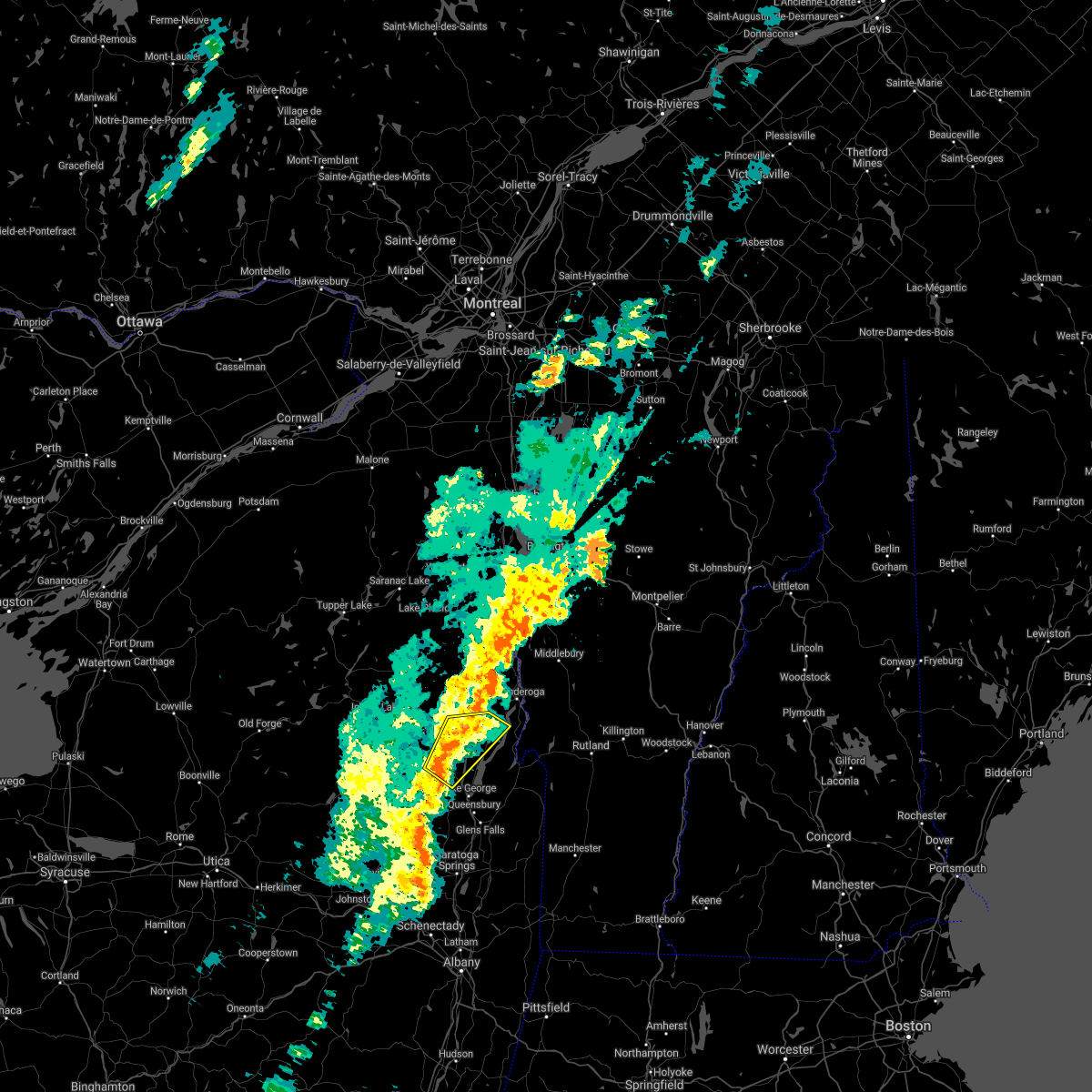
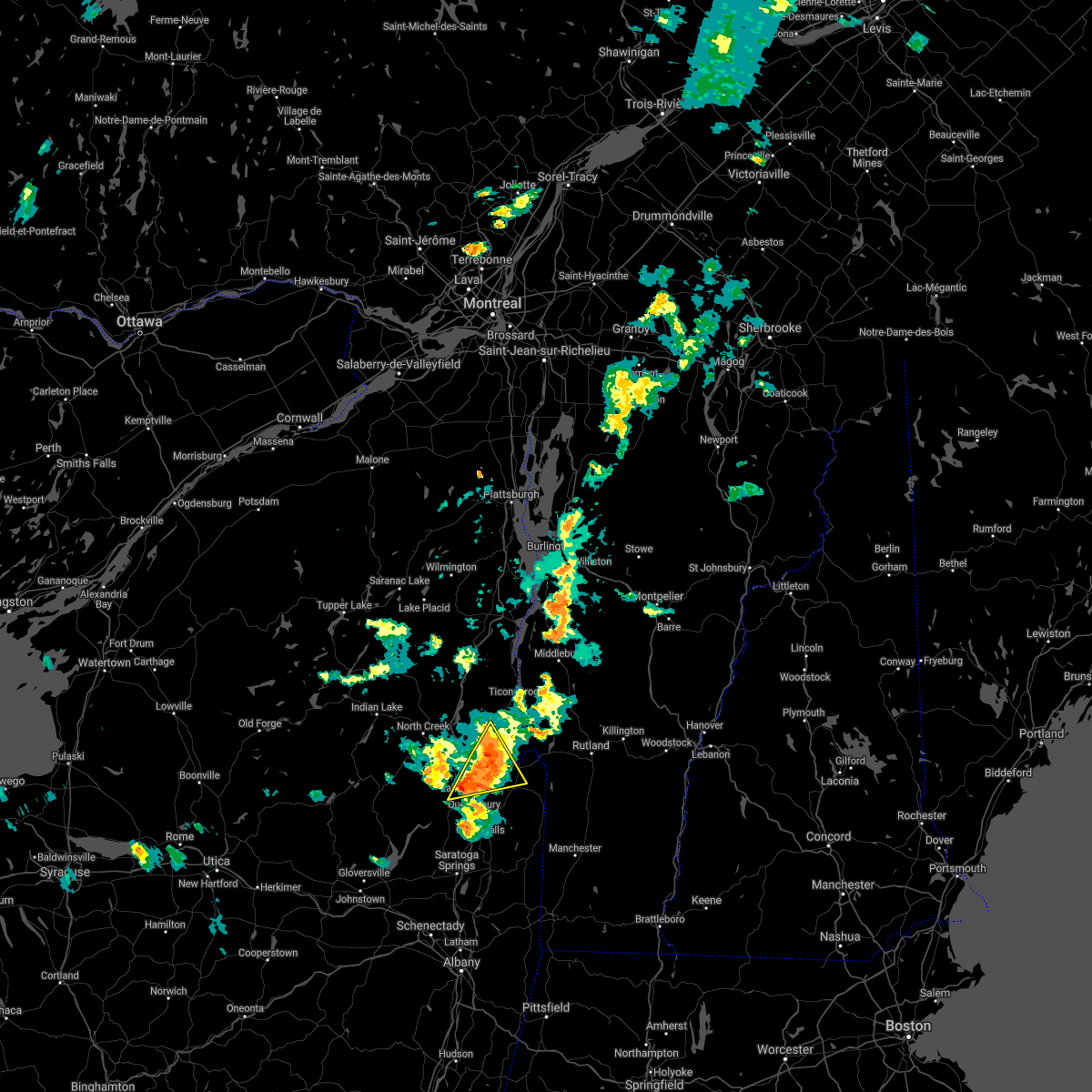
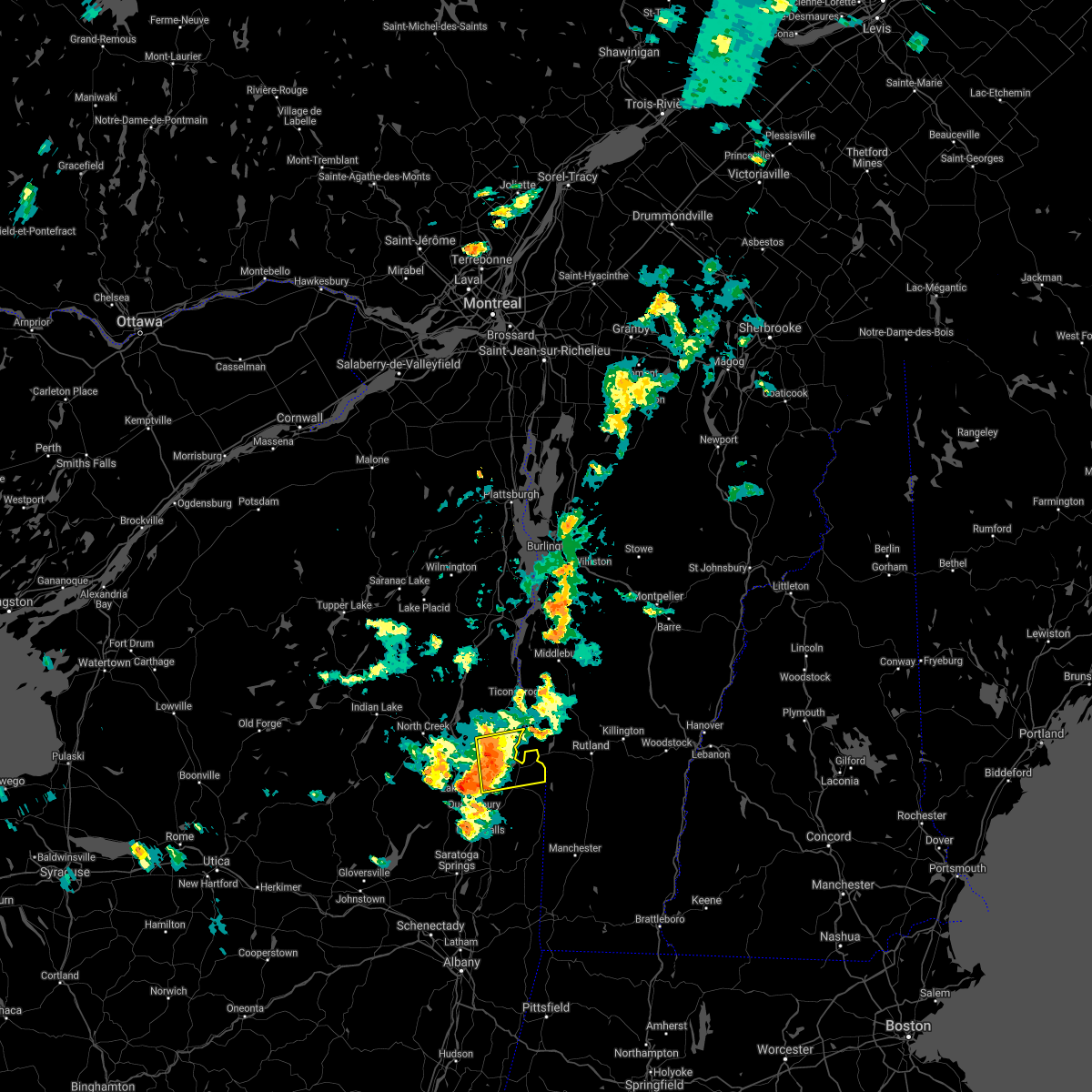
Hail Maps for Bolton Landing, NY


Connect with Interactive Hail Maps