

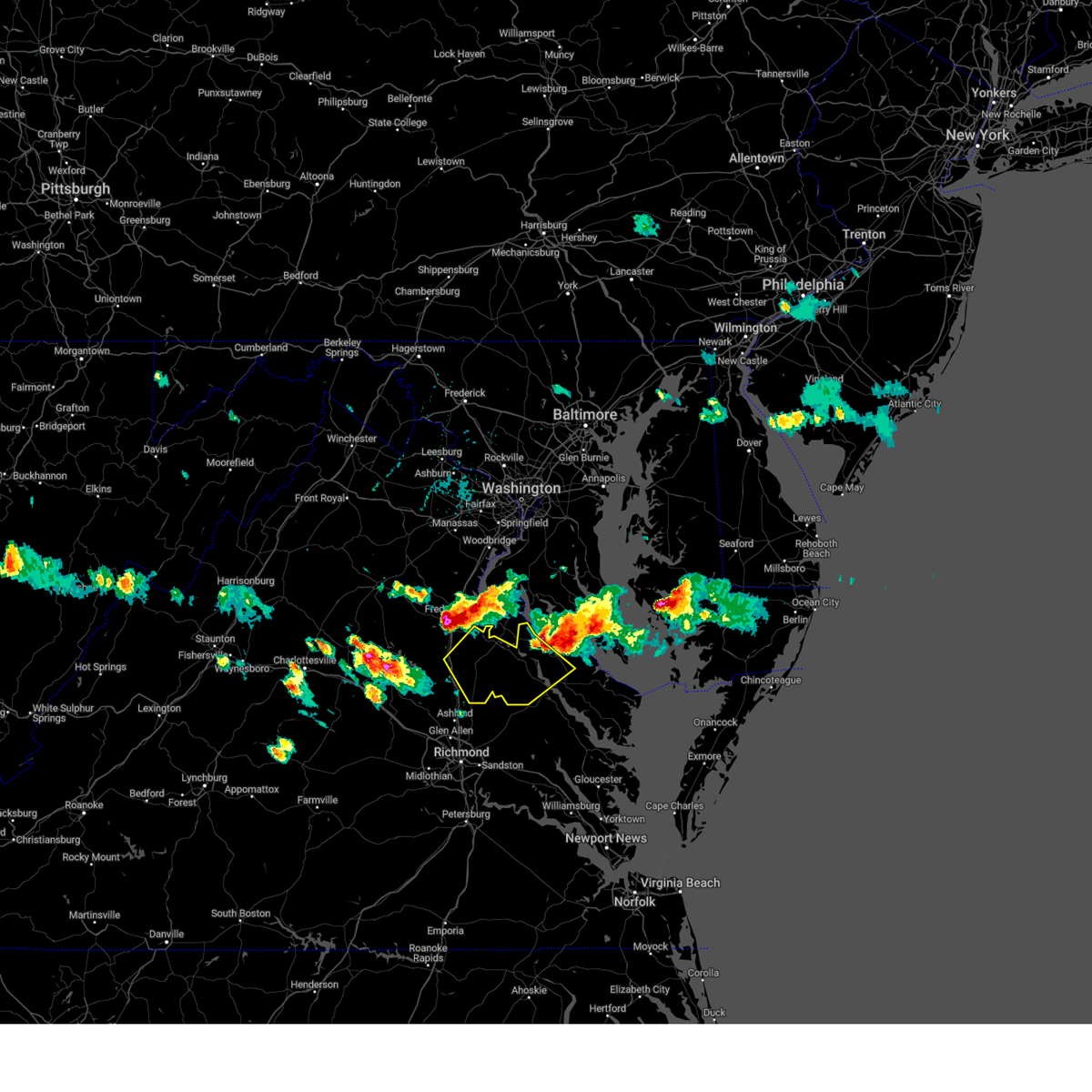
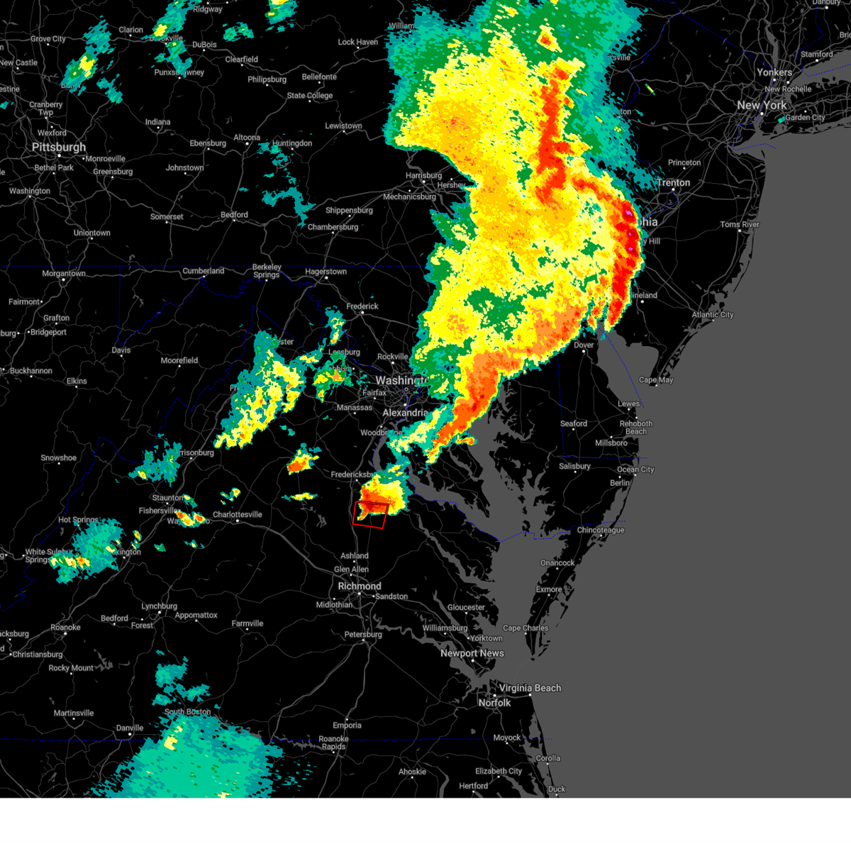
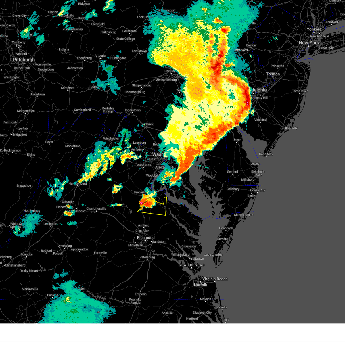
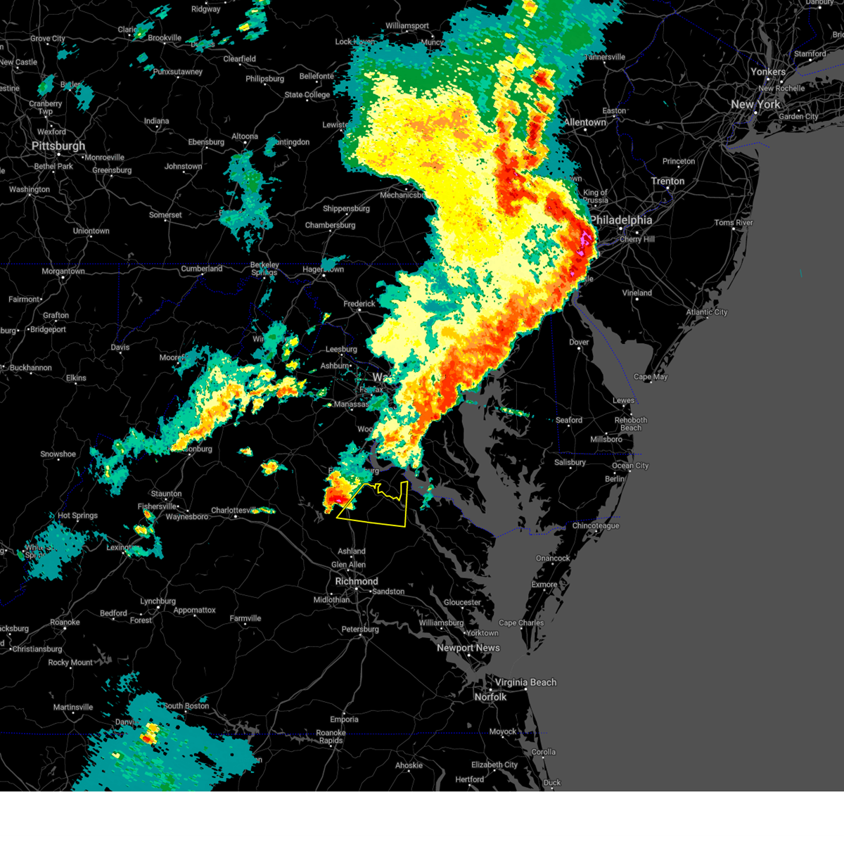
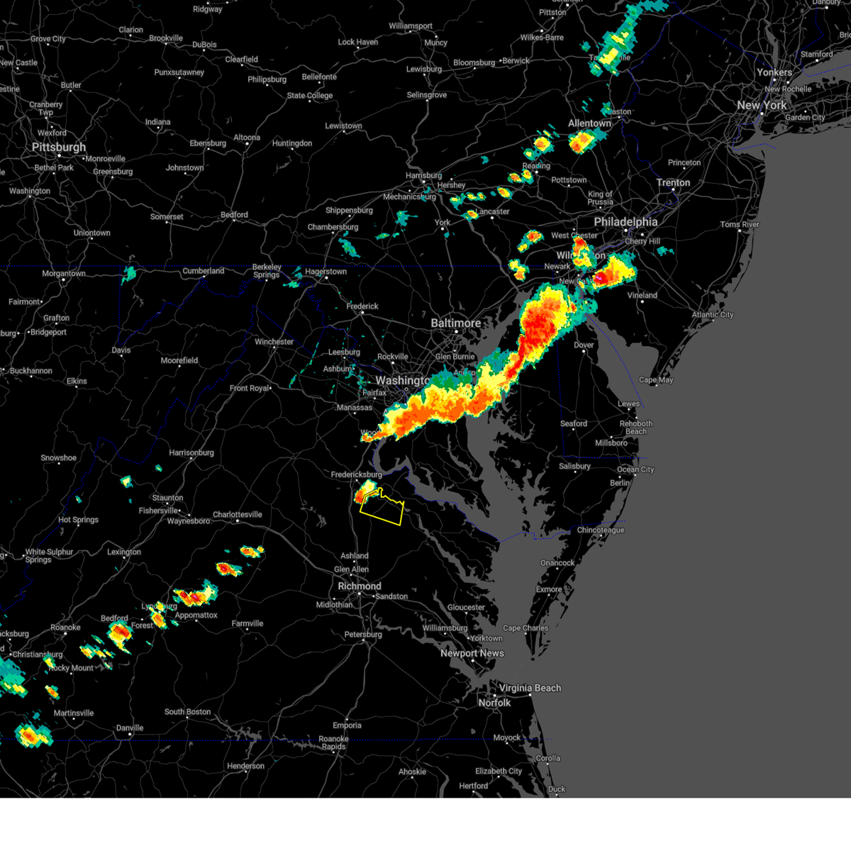
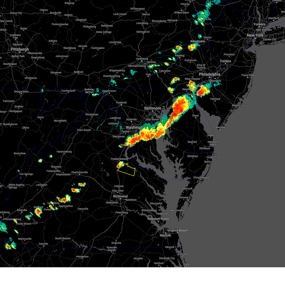
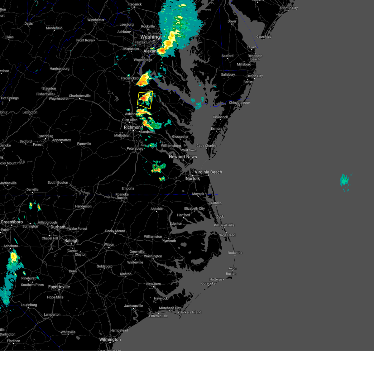
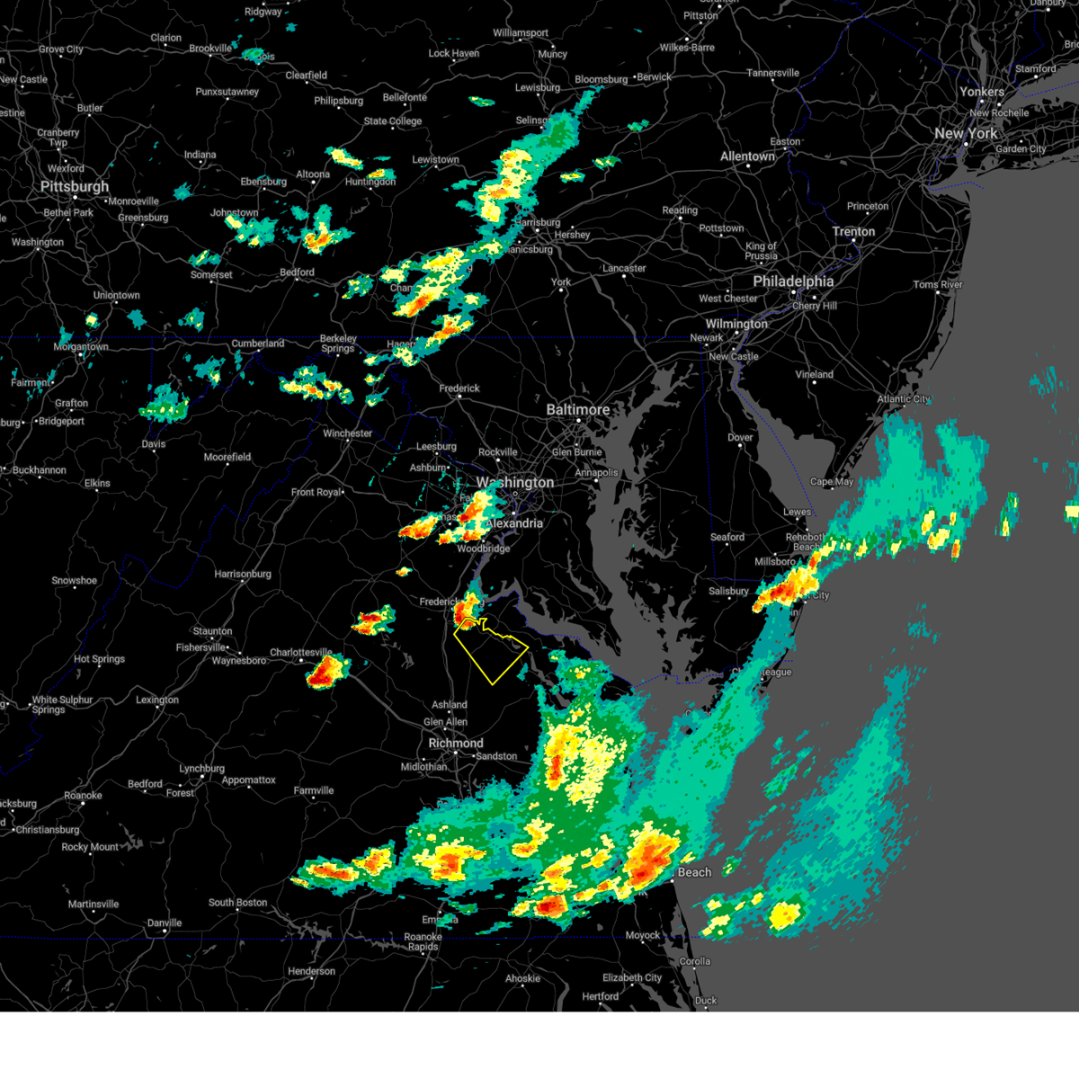
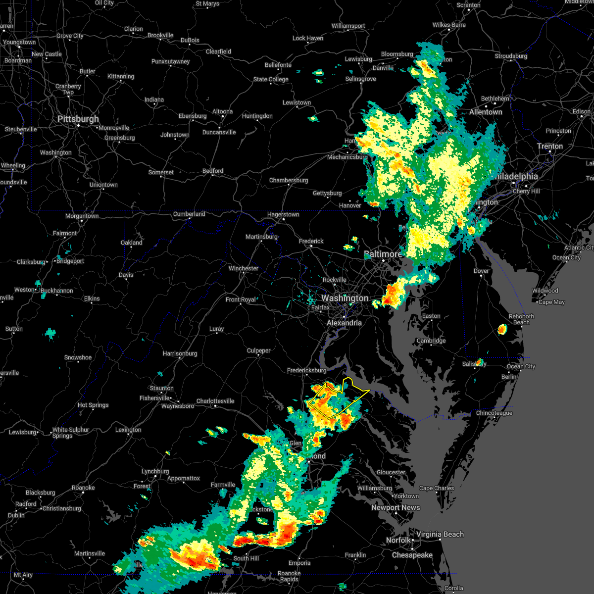
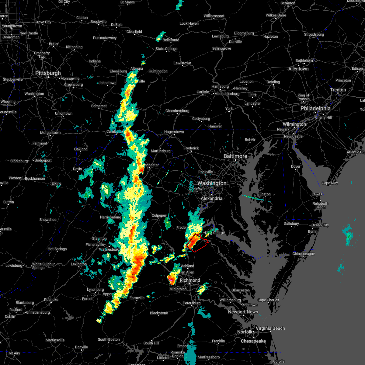
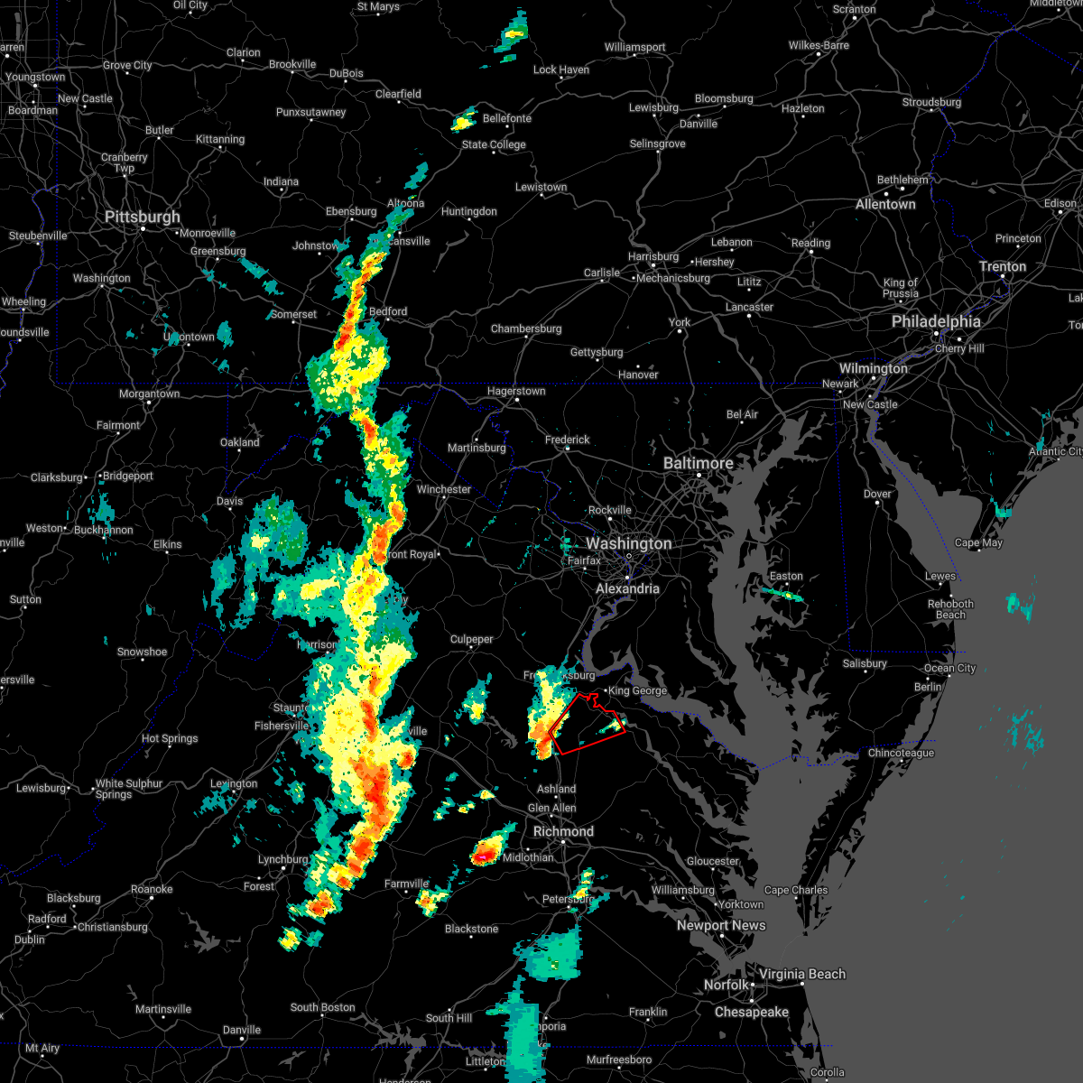
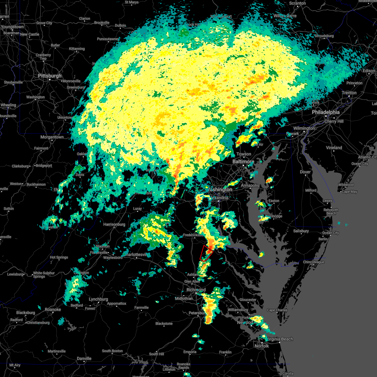
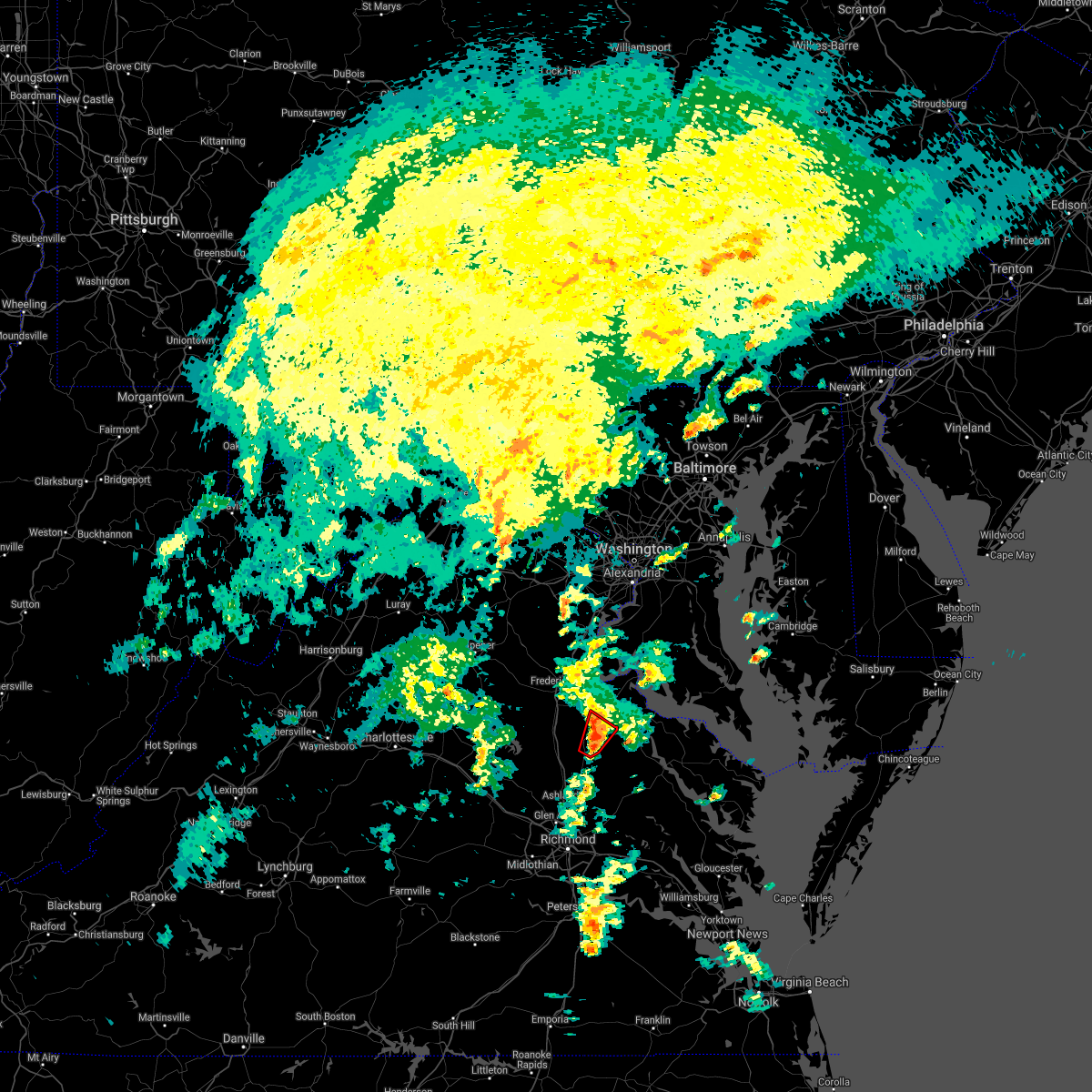
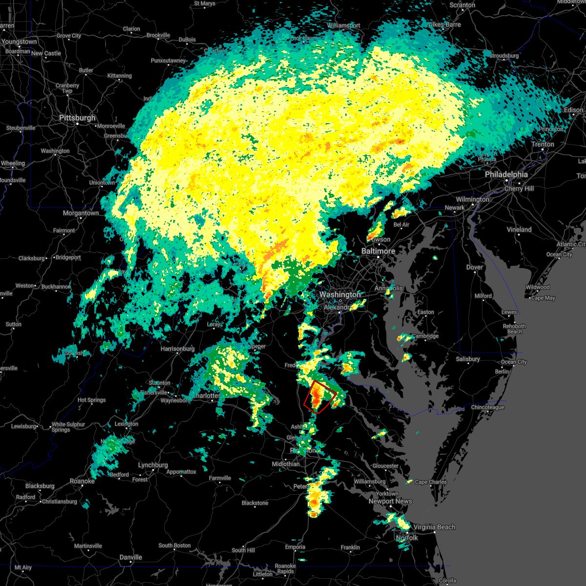
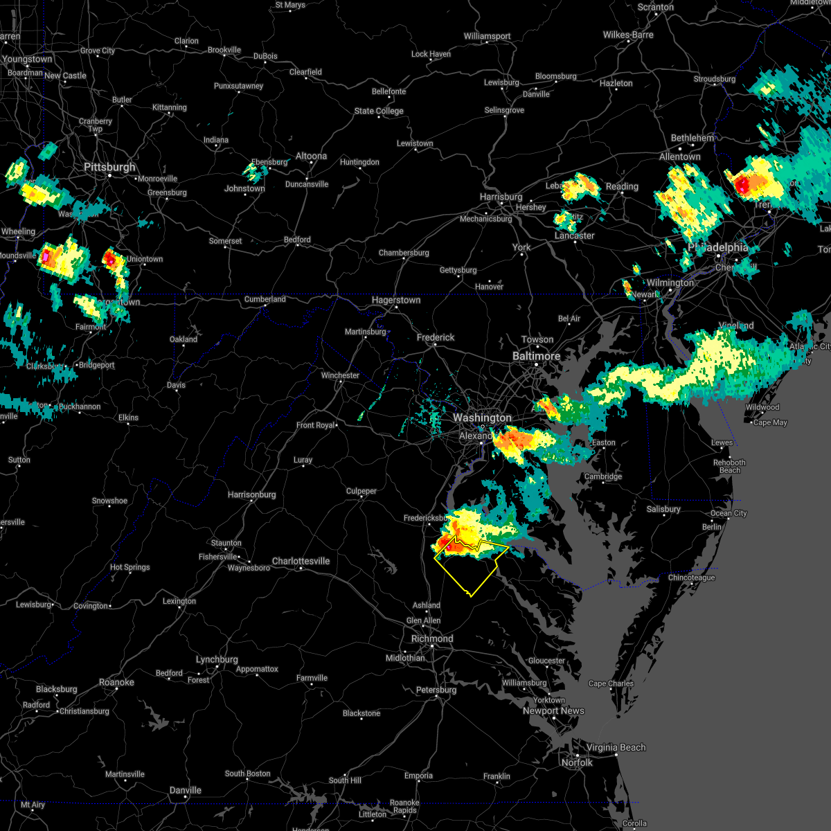
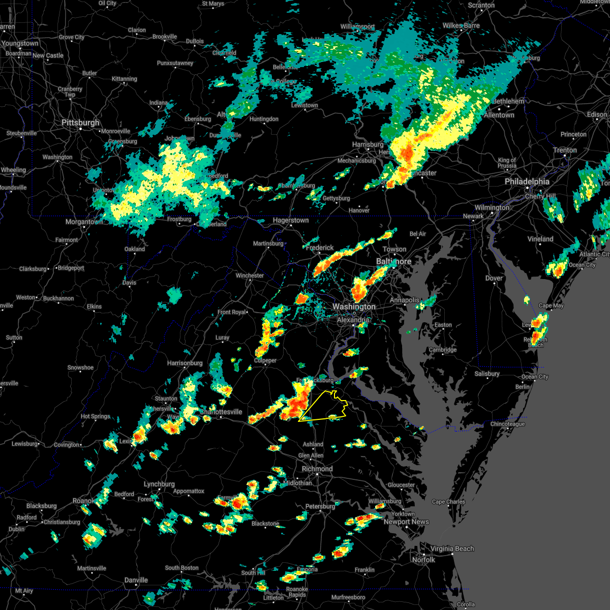
Hail Map for Bowling Green, VA
The Bowling Green, VA area has had 5 reports of on-the-ground hail by trained spotters, and has been under severe weather warnings 21 times during the past 12 months. Doppler radar has detected hail at or near Bowling Green, VA on 40 occasions, including 7 occasions during the past year.
| Name: | Bowling Green, VA |
| Where Located: | 41.6 miles NNE of Richmond, VA |
| Map: | Google Map for Bowling Green, VA |
| Population: | 1111 |
| Housing Units: | 482 |
| More Info: | Search Google for Bowling Green, VA |
0
The Top Recent Hail Date for Bowling Green, VA is Monday, April 15, 2024 (15th out of 40)

Hail and Wind Damage Spotted near Bowling Green, VA
| Date / Time | Report Details |
|---|---|
| 4/15/2024 6:10 PM EDT | High winds and a couple of trees down near spart in caroline county VA, 7.8 miles NW of Bowling Green, VA |
| 4/15/2024 5:24 PM EDT |
 Svrakq the national weather service in wakefield has issued a * severe thunderstorm warning for, northwestern king and queen county in east central virginia, northwestern richmond county in east central virginia, caroline county in north central virginia, western westmoreland county in east central virginia, essex county in east central virginia, * until 615 pm edt. * at 524 pm edt, severe thunderstorms were located along a line extending from near fairview beach to 7 miles southeast of fredericksburg to near spotsylvania, moving southeast at 35 mph (radar indicated). Hazards include 60 mph wind gusts and half dollar size hail. Minor damage to vehicles is possible. expect wind damage to trees and powerlines. severe thunderstorms will be near, port royal around 535 pm edt. fort walker around 540 pm edt. bowling green around 545 pm edt. milford, loretto, and leedstown around 550 pm edt. champlain around 600 pm edt. Other locations impacted by these severe thunderstorms include beazley, hustle, guinea, corbin, elevon, supply, penola, nancy wrights corner, mount landing, and piney grove. Svrakq the national weather service in wakefield has issued a * severe thunderstorm warning for, northwestern king and queen county in east central virginia, northwestern richmond county in east central virginia, caroline county in north central virginia, western westmoreland county in east central virginia, essex county in east central virginia, * until 615 pm edt. * at 524 pm edt, severe thunderstorms were located along a line extending from near fairview beach to 7 miles southeast of fredericksburg to near spotsylvania, moving southeast at 35 mph (radar indicated). Hazards include 60 mph wind gusts and half dollar size hail. Minor damage to vehicles is possible. expect wind damage to trees and powerlines. severe thunderstorms will be near, port royal around 535 pm edt. fort walker around 540 pm edt. bowling green around 545 pm edt. milford, loretto, and leedstown around 550 pm edt. champlain around 600 pm edt. Other locations impacted by these severe thunderstorms include beazley, hustle, guinea, corbin, elevon, supply, penola, nancy wrights corner, mount landing, and piney grove.
|
| 4/12/2024 1:15 AM EDT |
 the severe thunderstorm warning has been cancelled and is no longer in effect the severe thunderstorm warning has been cancelled and is no longer in effect
|
| 4/12/2024 12:55 AM EDT | Tree down on pepmeir hill rd near corbin. time estimate in caroline county VA, 10.7 miles S of Bowling Green, VA |
| 4/12/2024 12:45 AM EDT |
 Svrakq the national weather service in wakefield has issued a * severe thunderstorm warning for, northwestern king and queen county in east central virginia, caroline county in north central virginia, central hanover county in central virginia, northwestern king william county in east central virginia, * until 130 am edt. * at 1245 am edt, severe thunderstorms were located along a line extending from 6 miles northwest of ladysmith to hanover to near highland springs, moving northeast at 25 mph (radar indicated). Hazards include 60 mph wind gusts. Expect damage to trees and powerlines. severe thunderstorms will be near, mechanicsville, hanover, ladysmith, dawn, mangohick, and studley around 1250 am edt. milford around 1255 am edt. bowling green around 100 am edt. manquin and beulahville around 105 am edt. aylett around 110 am edt. newtown and fort a. p. hill around 115 am edt. Other locations impacted by these severe thunderstorms include chilesburg, beazley, enfield, golansville, guinea, corbin, gum tree, elevon, etna mills, and penola. Svrakq the national weather service in wakefield has issued a * severe thunderstorm warning for, northwestern king and queen county in east central virginia, caroline county in north central virginia, central hanover county in central virginia, northwestern king william county in east central virginia, * until 130 am edt. * at 1245 am edt, severe thunderstorms were located along a line extending from 6 miles northwest of ladysmith to hanover to near highland springs, moving northeast at 25 mph (radar indicated). Hazards include 60 mph wind gusts. Expect damage to trees and powerlines. severe thunderstorms will be near, mechanicsville, hanover, ladysmith, dawn, mangohick, and studley around 1250 am edt. milford around 1255 am edt. bowling green around 100 am edt. manquin and beulahville around 105 am edt. aylett around 110 am edt. newtown and fort a. p. hill around 115 am edt. Other locations impacted by these severe thunderstorms include chilesburg, beazley, enfield, golansville, guinea, corbin, gum tree, elevon, etna mills, and penola.
|
| 4/3/2024 3:24 PM EDT | 911 call center reported a tree down on ap hill blvd northbound. time estimated from rada in caroline county VA, 5.6 miles SW of Bowling Green, VA |
| 1/9/2024 5:22 PM EST |
 At 522 pm est, severe thunderstorms were located along a line extending from near bowling green to near randolph macon college to near bon air, moving northeast at 60 mph (radar indicated). Hazards include 60 mph wind gusts. Expect damage to trees and powerlines. these severe storms will be near, richmond, ashland, bowling green, randolph macon college, university of richmond, milford, tuckahoe, bon air, hanover, and laurel around 525 pm est. mechanicsville and fort walker around 530 pm est. port royal, east highland park, and mangohick around 535 pm est. beulahville around 545 pm est. other locations impacted by these severe thunderstorms include chilesburg, maidens, gum tree, etna mills, pocahontas state park, skinquarter, beach, chamberlayne, fine creek mills, and michaux. hail threat, radar indicated max hail size, <. 75 in wind threat, radar indicated max wind gust, 60 mph. At 522 pm est, severe thunderstorms were located along a line extending from near bowling green to near randolph macon college to near bon air, moving northeast at 60 mph (radar indicated). Hazards include 60 mph wind gusts. Expect damage to trees and powerlines. these severe storms will be near, richmond, ashland, bowling green, randolph macon college, university of richmond, milford, tuckahoe, bon air, hanover, and laurel around 525 pm est. mechanicsville and fort walker around 530 pm est. port royal, east highland park, and mangohick around 535 pm est. beulahville around 545 pm est. other locations impacted by these severe thunderstorms include chilesburg, maidens, gum tree, etna mills, pocahontas state park, skinquarter, beach, chamberlayne, fine creek mills, and michaux. hail threat, radar indicated max hail size, <. 75 in wind threat, radar indicated max wind gust, 60 mph.
|
| 1/9/2024 5:01 PM EST |
 At 501 pm est, severe thunderstorms were located along a line extending from near bumpass to near sabot to scotts fork, moving northeast at 70 mph (radar indicated). Hazards include 60 mph wind gusts. Expect damage to trees and powerlines. these severe storms will be near, moseley, tuckahoe, montpelier, chula, wyndham, manakin, and sabot around 505 pm est. ashland and ladysmith around 510 pm est. randolph macon college and kings dominion around 515 pm est. bowling green, milford, laurel, and glen allen around 520 pm est. dawn and fort walker around 530 pm est. hanover and port royal around 535 pm est. Other locations impacted by these severe thunderstorms include chilesburg, maidens, gum tree, etna mills, pocahontas state park, skinquarter, beach, chamberlayne, fine creek mills, and michaux. At 501 pm est, severe thunderstorms were located along a line extending from near bumpass to near sabot to scotts fork, moving northeast at 70 mph (radar indicated). Hazards include 60 mph wind gusts. Expect damage to trees and powerlines. these severe storms will be near, moseley, tuckahoe, montpelier, chula, wyndham, manakin, and sabot around 505 pm est. ashland and ladysmith around 510 pm est. randolph macon college and kings dominion around 515 pm est. bowling green, milford, laurel, and glen allen around 520 pm est. dawn and fort walker around 530 pm est. hanover and port royal around 535 pm est. Other locations impacted by these severe thunderstorms include chilesburg, maidens, gum tree, etna mills, pocahontas state park, skinquarter, beach, chamberlayne, fine creek mills, and michaux.
|
| 1/9/2024 4:40 PM EST |
 At 439 pm est, severe thunderstorms were located along a line extending from near goochland to near amelia courthouse to near crewe, moving northeast at 60 mph (radar indicated). Hazards include 60 mph wind gusts. Expect damage to trees and powerlines. severe thunderstorms will be near, powhatan, goochland, crewe, amelia courthouse, scotts fork, chula, and macon around 445 pm est. oilville and sabot around 450 pm est. moseley, montpelier, and manakin around 455 pm est. tuckahoe and wyndham around 500 pm est. richmond and bon air around 505 pm est. ashland, randolph macon college, laurel, ladysmith, lakeside, and glen allen around 510 pm est. university of richmond and kings dominion around 515 pm est. bowling green, virginia union university, mechanicsville, milford, downtown richmond, hanover, and dawn around 520 pm est. other locations impacted by these severe thunderstorms include chilesburg, maidens, gum tree, etna mills, pocahontas state park, skinquarter, beach, chamberlayne, fine creek mills, and michaux. hail threat, radar indicated max hail size, <. 75 in wind threat, radar indicated max wind gust, 60 mph. At 439 pm est, severe thunderstorms were located along a line extending from near goochland to near amelia courthouse to near crewe, moving northeast at 60 mph (radar indicated). Hazards include 60 mph wind gusts. Expect damage to trees and powerlines. severe thunderstorms will be near, powhatan, goochland, crewe, amelia courthouse, scotts fork, chula, and macon around 445 pm est. oilville and sabot around 450 pm est. moseley, montpelier, and manakin around 455 pm est. tuckahoe and wyndham around 500 pm est. richmond and bon air around 505 pm est. ashland, randolph macon college, laurel, ladysmith, lakeside, and glen allen around 510 pm est. university of richmond and kings dominion around 515 pm est. bowling green, virginia union university, mechanicsville, milford, downtown richmond, hanover, and dawn around 520 pm est. other locations impacted by these severe thunderstorms include chilesburg, maidens, gum tree, etna mills, pocahontas state park, skinquarter, beach, chamberlayne, fine creek mills, and michaux. hail threat, radar indicated max hail size, <. 75 in wind threat, radar indicated max wind gust, 60 mph.
|
| 9/10/2023 7:12 PM EDT |
 At 712 pm edt, a severe thunderstorm was located over fort a.p. hill, or 7 miles northeast of bowling green, moving north at 20 mph (radar indicated). Hazards include 60 mph wind gusts and quarter size hail. Minor damage to vehicles is possible. expect wind damage to trees and powerlines. this severe storm will be near, port royal around 715 pm edt. other locations impacted by this severe thunderstorm include rappahannock academy. hail threat, radar indicated max hail size, 1. 00 in wind threat, radar indicated max wind gust, 60 mph. At 712 pm edt, a severe thunderstorm was located over fort a.p. hill, or 7 miles northeast of bowling green, moving north at 20 mph (radar indicated). Hazards include 60 mph wind gusts and quarter size hail. Minor damage to vehicles is possible. expect wind damage to trees and powerlines. this severe storm will be near, port royal around 715 pm edt. other locations impacted by this severe thunderstorm include rappahannock academy. hail threat, radar indicated max hail size, 1. 00 in wind threat, radar indicated max wind gust, 60 mph.
|
| 9/10/2023 7:02 PM EDT |
 At 702 pm edt, a severe thunderstorm was located over fort a.p. hill, or near bowling green, moving north at 20 mph (radar indicated). Hazards include 60 mph wind gusts and quarter size hail. Minor damage to vehicles is possible. expect wind damage to trees and powerlines. this severe thunderstorm will be near, port royal and fort a. p. hill around 710 pm edt. other locations impacted by this severe thunderstorm include rappahannock academy and corbin. hail threat, radar indicated max hail size, 1. 00 in wind threat, radar indicated max wind gust, 60 mph. At 702 pm edt, a severe thunderstorm was located over fort a.p. hill, or near bowling green, moving north at 20 mph (radar indicated). Hazards include 60 mph wind gusts and quarter size hail. Minor damage to vehicles is possible. expect wind damage to trees and powerlines. this severe thunderstorm will be near, port royal and fort a. p. hill around 710 pm edt. other locations impacted by this severe thunderstorm include rappahannock academy and corbin. hail threat, radar indicated max hail size, 1. 00 in wind threat, radar indicated max wind gust, 60 mph.
|
| 8/7/2023 7:20 PM EDT | Baseball sized hail reported 10.6 miles WSW of Bowling Green, VA |
| 8/7/2023 7:05 PM EDT | Grapefruit sized hail reported 5.1 miles SW of Bowling Green, VA, time estimated from radar. hail stone was measured approximately 15 minutes after the hail core passed over this location. |
| 8/7/2023 7:05 PM EDT | Softball sized hail reported 5.1 miles SW of Bowling Green, VA, corrects previous hail report from 1 ssw fort a.p. hill. time estimated from radar. hail stone was measured approximately 15 minutes after the hail core passed over thi |
| 8/7/2023 7:05 PM EDT |
 At 705 pm edt, a severe thunderstorm was located over fort a.p. hill, or near bowling green, moving east at 40 mph (radar indicated). Hazards include two inch hail and 60 mph wind gusts. People and animals outdoors will be injured. expect hail damage to roofs, siding, windows, and vehicles. expect wind damage to trees and powerlines. this severe storm will be near, loretto around 715 pm edt. Other locations impacted by this severe thunderstorm include rappahannock academy, beazley, sparta, villboro, hustle, elevon, supply, central point, and woodford. At 705 pm edt, a severe thunderstorm was located over fort a.p. hill, or near bowling green, moving east at 40 mph (radar indicated). Hazards include two inch hail and 60 mph wind gusts. People and animals outdoors will be injured. expect hail damage to roofs, siding, windows, and vehicles. expect wind damage to trees and powerlines. this severe storm will be near, loretto around 715 pm edt. Other locations impacted by this severe thunderstorm include rappahannock academy, beazley, sparta, villboro, hustle, elevon, supply, central point, and woodford.
|
| 8/7/2023 7:01 PM EDT |
 At 701 pm edt, a severe thunderstorm was located over bowling green, moving east at 30 mph (radar indicated). Hazards include golf ball size hail and 60 mph wind gusts. People and animals outdoors will be injured. expect hail damage to roofs, siding, windows, and vehicles. expect wind damage to trees and powerlines. this severe storm will be near, fort a. p. hill around 705 pm edt. loretto around 720 pm edt. Other locations impacted by this severe thunderstorm include rappahannock academy, beazley, sparta, villboro, hustle, elevon, supply, central point, and woodford. At 701 pm edt, a severe thunderstorm was located over bowling green, moving east at 30 mph (radar indicated). Hazards include golf ball size hail and 60 mph wind gusts. People and animals outdoors will be injured. expect hail damage to roofs, siding, windows, and vehicles. expect wind damage to trees and powerlines. this severe storm will be near, fort a. p. hill around 705 pm edt. loretto around 720 pm edt. Other locations impacted by this severe thunderstorm include rappahannock academy, beazley, sparta, villboro, hustle, elevon, supply, central point, and woodford.
|
| 8/7/2023 6:54 PM EDT |
 At 654 pm edt, a severe thunderstorm capable of producing a tornado was located over bowling green, moving east at 35 mph (radar indicated rotation). Hazards include tornado and half dollar size hail. Flying debris will be dangerous to those caught without shelter. mobile homes will be damaged or destroyed. damage to roofs, windows, and vehicles will occur. tree damage is likely. this dangerous storm will be near, bowling green and fort a. p. hill around 700 pm edt. Other locations impacted by this tornadic thunderstorm include woodford, guinea, and villboro. At 654 pm edt, a severe thunderstorm capable of producing a tornado was located over bowling green, moving east at 35 mph (radar indicated rotation). Hazards include tornado and half dollar size hail. Flying debris will be dangerous to those caught without shelter. mobile homes will be damaged or destroyed. damage to roofs, windows, and vehicles will occur. tree damage is likely. this dangerous storm will be near, bowling green and fort a. p. hill around 700 pm edt. Other locations impacted by this tornadic thunderstorm include woodford, guinea, and villboro.
|
| 8/7/2023 6:48 PM EDT |
 At 648 pm edt, a severe thunderstorm was located near bowling green, moving east at 40 mph (radar indicated). Hazards include 60 mph wind gusts and half dollar size hail. Minor damage to vehicles is possible. expect wind damage to trees and powerlines. this severe storm will be near, bowling green and fort a. p. hill around 655 pm edt. port royal around 705 pm edt. loretto around 715 pm edt. Other locations impacted by this severe thunderstorm include rappahannock academy, sparta, villboro, hustle, guinea, corbin, elevon, supply, central point, and nancy wrights corner. At 648 pm edt, a severe thunderstorm was located near bowling green, moving east at 40 mph (radar indicated). Hazards include 60 mph wind gusts and half dollar size hail. Minor damage to vehicles is possible. expect wind damage to trees and powerlines. this severe storm will be near, bowling green and fort a. p. hill around 655 pm edt. port royal around 705 pm edt. loretto around 715 pm edt. Other locations impacted by this severe thunderstorm include rappahannock academy, sparta, villboro, hustle, guinea, corbin, elevon, supply, central point, and nancy wrights corner.
|
| 8/7/2023 6:47 PM EDT |
 At 647 pm edt, a severe thunderstorm capable of producing a tornado was located near ladysmith, or near milford, moving east at 30 mph (radar indicated rotation). Hazards include tornado and half dollar size hail. Flying debris will be dangerous to those caught without shelter. mobile homes will be damaged or destroyed. damage to roofs, windows, and vehicles will occur. tree damage is likely. this dangerous storm will be near, bowling green and milford around 655 pm edt. Other locations impacted by this tornadic thunderstorm include villboro, nancy wrights corner, guinea, ruther glen, woodford, penola, and cedon. At 647 pm edt, a severe thunderstorm capable of producing a tornado was located near ladysmith, or near milford, moving east at 30 mph (radar indicated rotation). Hazards include tornado and half dollar size hail. Flying debris will be dangerous to those caught without shelter. mobile homes will be damaged or destroyed. damage to roofs, windows, and vehicles will occur. tree damage is likely. this dangerous storm will be near, bowling green and milford around 655 pm edt. Other locations impacted by this tornadic thunderstorm include villboro, nancy wrights corner, guinea, ruther glen, woodford, penola, and cedon.
|
| 8/7/2023 6:40 PM EDT | Golf Ball sized hail reported 6 miles SW of Bowling Green, VA, corrects previous hail report from 1 nnw fort a.p. hill. golf ball sized hail reported near fort ap hill. |
| 8/7/2023 6:37 PM EDT |
 At 637 pm edt, a severe thunderstorm was located near ladysmith, or 11 miles northwest of milford, moving east at 40 mph (radar indicated). Hazards include ping pong ball size hail and 60 mph wind gusts. People and animals outdoors will be injured. expect hail damage to roofs, siding, windows, and vehicles. expect wind damage to trees and powerlines. this severe storm will be near, bowling green around 650 pm edt. fort a. p. hill around 655 pm edt. port royal around 705 pm edt. loretto around 715 pm edt. Other locations impacted by this severe thunderstorm include rappahannock academy, sparta, villboro, hustle, guinea, corbin, elevon, supply, central point, and nancy wrights corner. At 637 pm edt, a severe thunderstorm was located near ladysmith, or 11 miles northwest of milford, moving east at 40 mph (radar indicated). Hazards include ping pong ball size hail and 60 mph wind gusts. People and animals outdoors will be injured. expect hail damage to roofs, siding, windows, and vehicles. expect wind damage to trees and powerlines. this severe storm will be near, bowling green around 650 pm edt. fort a. p. hill around 655 pm edt. port royal around 705 pm edt. loretto around 715 pm edt. Other locations impacted by this severe thunderstorm include rappahannock academy, sparta, villboro, hustle, guinea, corbin, elevon, supply, central point, and nancy wrights corner.
|
| 8/7/2023 6:35 PM EDT |
 At 635 pm edt, a severe thunderstorm capable of producing a tornado was located near ladysmith, or 12 miles west of milford, moving east at 35 mph (radar indicated rotation). Hazards include tornado and ping pong ball size hail. Flying debris will be dangerous to those caught without shelter. mobile homes will be damaged or destroyed. damage to roofs, windows, and vehicles will occur. tree damage is likely. this dangerous storm will be near, ladysmith around 640 pm edt. bowling green and milford around 650 pm edt. Other locations impacted by this tornadic thunderstorm include villboro, nancy wrights corner, guinea, ruther glen, woodford, penola, and cedon. At 635 pm edt, a severe thunderstorm capable of producing a tornado was located near ladysmith, or 12 miles west of milford, moving east at 35 mph (radar indicated rotation). Hazards include tornado and ping pong ball size hail. Flying debris will be dangerous to those caught without shelter. mobile homes will be damaged or destroyed. damage to roofs, windows, and vehicles will occur. tree damage is likely. this dangerous storm will be near, ladysmith around 640 pm edt. bowling green and milford around 650 pm edt. Other locations impacted by this tornadic thunderstorm include villboro, nancy wrights corner, guinea, ruther glen, woodford, penola, and cedon.
|
| 8/7/2023 6:32 PM EDT |
 At 631 pm edt, a severe thunderstorm was located 7 miles south of spotsylvania, or 15 miles west of milford, moving east at 40 mph (radar indicated). Hazards include 60 mph wind gusts and quarter size hail. Minor damage to vehicles is possible. expect wind damage to trees and powerlines. this severe thunderstorm will be near, bowling green around 650 pm edt. fort a. p. hill around 655 pm edt. port royal around 705 pm edt. Other locations impacted by this severe thunderstorm include rappahannock academy, sparta, villboro, hustle, guinea, corbin, elevon, supply, central point, and nancy wrights corner. At 631 pm edt, a severe thunderstorm was located 7 miles south of spotsylvania, or 15 miles west of milford, moving east at 40 mph (radar indicated). Hazards include 60 mph wind gusts and quarter size hail. Minor damage to vehicles is possible. expect wind damage to trees and powerlines. this severe thunderstorm will be near, bowling green around 650 pm edt. fort a. p. hill around 655 pm edt. port royal around 705 pm edt. Other locations impacted by this severe thunderstorm include rappahannock academy, sparta, villboro, hustle, guinea, corbin, elevon, supply, central point, and nancy wrights corner.
|
| 8/7/2023 6:10 PM EDT | Golf Ball sized hail reported 6 miles SW of Bowling Green, VA, golf ball sized hail reported near fort ap hill. |
| 7/29/2023 6:00 PM EDT | Trees down at highway 301 and highway 1 in caroline county VA, 10.7 miles SW of Bowling Green, VA |
| 7/29/2023 5:49 PM EDT |
 At 549 pm edt, a severe thunderstorm was located near fort a.p. hill, or near bowling green, moving east at 30 mph (radar indicated). Hazards include 60 mph wind gusts and penny size hail. Expect damage to trees and powerlines. locations impacted include, bowling green, port royal, fort a. p. hill, rappahannock academy, villboro, corbin, supply, and woodford. hail threat, radar indicated max hail size, 0. 75 in wind threat, radar indicated max wind gust, 60 mph. At 549 pm edt, a severe thunderstorm was located near fort a.p. hill, or near bowling green, moving east at 30 mph (radar indicated). Hazards include 60 mph wind gusts and penny size hail. Expect damage to trees and powerlines. locations impacted include, bowling green, port royal, fort a. p. hill, rappahannock academy, villboro, corbin, supply, and woodford. hail threat, radar indicated max hail size, 0. 75 in wind threat, radar indicated max wind gust, 60 mph.
|
| 7/29/2023 5:30 PM EDT |
 At 530 pm edt, a severe thunderstorm was located over massaponax, or 8 miles south of fredericksburg, moving east at 30 mph (radar indicated). Hazards include 60 mph wind gusts and penny size hail. expect damage to trees and powerlines At 530 pm edt, a severe thunderstorm was located over massaponax, or 8 miles south of fredericksburg, moving east at 30 mph (radar indicated). Hazards include 60 mph wind gusts and penny size hail. expect damage to trees and powerlines
|
| 7/3/2023 4:35 PM EDT |
 At 434 pm edt, severe thunderstorms were located along a line extending from 8 miles northeast of louisa to mineral to near hadensville, moving east to northeast at 35 mph (radar indicated). Hazards include 60 mph wind gusts and quarter size hail. Minor damage to vehicles is possible. expect wind damage to trees and powerlines. severe thunderstorms will be near, bumpass around 500 pm edt. ladysmith around 515 pm edt. other locations impacted by these severe thunderstorms include chilesburg, rappahannock academy, golansville, pendleton, villboro, louisa airport, guinea, corbin, hewlett and cuckoo. hail threat, radar indicated max hail size, 1. 00 in wind threat, radar indicated max wind gust, 60 mph. At 434 pm edt, severe thunderstorms were located along a line extending from 8 miles northeast of louisa to mineral to near hadensville, moving east to northeast at 35 mph (radar indicated). Hazards include 60 mph wind gusts and quarter size hail. Minor damage to vehicles is possible. expect wind damage to trees and powerlines. severe thunderstorms will be near, bumpass around 500 pm edt. ladysmith around 515 pm edt. other locations impacted by these severe thunderstorms include chilesburg, rappahannock academy, golansville, pendleton, villboro, louisa airport, guinea, corbin, hewlett and cuckoo. hail threat, radar indicated max hail size, 1. 00 in wind threat, radar indicated max wind gust, 60 mph.
|
| 6/30/2023 5:48 PM EDT | County 911 reports a tree down near the corner of perimeter rd and maracossic d in caroline county VA, 4.8 miles WNW of Bowling Green, VA |
| 6/30/2023 5:42 PM EDT |
 At 542 pm edt, a severe thunderstorm was located near bowling green, and is nearly stationary (radar indicated). Hazards include 60 mph wind gusts and quarter size hail. Minor damage to vehicles is possible. expect wind damage to trees and powerlines. this severe thunderstorm will remain over mainly rural areas of northwestern king and queen, east central caroline and northwestern essex counties, including the following locations, supply, sparta, gether, central point and salvia. hail threat, radar indicated max hail size, 1. 00 in wind threat, radar indicated max wind gust, 60 mph. At 542 pm edt, a severe thunderstorm was located near bowling green, and is nearly stationary (radar indicated). Hazards include 60 mph wind gusts and quarter size hail. Minor damage to vehicles is possible. expect wind damage to trees and powerlines. this severe thunderstorm will remain over mainly rural areas of northwestern king and queen, east central caroline and northwestern essex counties, including the following locations, supply, sparta, gether, central point and salvia. hail threat, radar indicated max hail size, 1. 00 in wind threat, radar indicated max wind gust, 60 mph.
|
| 6/19/2023 2:57 PM EDT | Vdot reports a tree down on bath road blocking traffi in caroline county VA, 5.2 miles ENE of Bowling Green, VA |
| 6/16/2023 5:37 PM EDT |
 At 537 pm edt, a severe thunderstorm was located 7 miles east of massaponax, or 9 miles southeast of fredericksburg, moving southeast at 30 mph (radar indicated). Hazards include 60 mph wind gusts and quarter size hail. Minor damage to vehicles is possible. expect wind damage to trees and powerlines. this severe thunderstorm will be near, bowling green around 550 pm edt. port royal and fort a. p. hill around 555 pm edt. loretto around 615 pm edt. other locations impacted by this severe thunderstorm include rappahannock academy, sparta, villboro, hustle, corbin, supply, central point, salvia and chance. hail threat, radar indicated max hail size, 1. 00 in wind threat, radar indicated max wind gust, 60 mph. At 537 pm edt, a severe thunderstorm was located 7 miles east of massaponax, or 9 miles southeast of fredericksburg, moving southeast at 30 mph (radar indicated). Hazards include 60 mph wind gusts and quarter size hail. Minor damage to vehicles is possible. expect wind damage to trees and powerlines. this severe thunderstorm will be near, bowling green around 550 pm edt. port royal and fort a. p. hill around 555 pm edt. loretto around 615 pm edt. other locations impacted by this severe thunderstorm include rappahannock academy, sparta, villboro, hustle, corbin, supply, central point, salvia and chance. hail threat, radar indicated max hail size, 1. 00 in wind threat, radar indicated max wind gust, 60 mph.
|
| 8/10/2022 4:51 PM EDT |
 At 451 pm edt, severe thunderstorms were located along a line extending from 8 miles southwest of spotsylvania to near montpelier to gum spring, moving east at 25 mph (radar indicated). Hazards include 60 mph wind gusts and penny size hail. Expect damage to trees and powerlines. severe thunderstorms will be near, ladysmith around 515 pm edt. montpelier around 520 pm edt. ashland and randolph macon college around 525 pm edt. bowling green, milford, kings dominion, dawn, wyndham and fort a. p. hill around 530 pm edt. other locations impacted by these severe thunderstorms include chilesburg, golansville, guinea, vontay, gum tree, elmont, penola, gilman, nancy wrights corner and cedar fork. hail threat, radar indicated max hail size, 0. 75 in wind threat, radar indicated max wind gust, 60 mph. At 451 pm edt, severe thunderstorms were located along a line extending from 8 miles southwest of spotsylvania to near montpelier to gum spring, moving east at 25 mph (radar indicated). Hazards include 60 mph wind gusts and penny size hail. Expect damage to trees and powerlines. severe thunderstorms will be near, ladysmith around 515 pm edt. montpelier around 520 pm edt. ashland and randolph macon college around 525 pm edt. bowling green, milford, kings dominion, dawn, wyndham and fort a. p. hill around 530 pm edt. other locations impacted by these severe thunderstorms include chilesburg, golansville, guinea, vontay, gum tree, elmont, penola, gilman, nancy wrights corner and cedar fork. hail threat, radar indicated max hail size, 0. 75 in wind threat, radar indicated max wind gust, 60 mph.
|
| 7/25/2022 5:34 PM EDT |
 At 534 pm edt, severe thunderstorms were located along a line extending from near fort a.p. hill to near beulahville to near mangohick, moving east at 40 mph (radar indicated). Hazards include 60 mph wind gusts. Expect damage to trees and powerlines. locations impacted include, ashland, bowling green, randolph macon college, milford, hanover, beulahville, ladysmith, dawn, aylett, kings dominion, mangohick, fort a. p. hill, golansville, guinea, corbin, gum tree, etna mills, penola, epworth and nancy wrights corner. hail threat, radar indicated max hail size, <. 75 in wind threat, radar indicated max wind gust, 60 mph. At 534 pm edt, severe thunderstorms were located along a line extending from near fort a.p. hill to near beulahville to near mangohick, moving east at 40 mph (radar indicated). Hazards include 60 mph wind gusts. Expect damage to trees and powerlines. locations impacted include, ashland, bowling green, randolph macon college, milford, hanover, beulahville, ladysmith, dawn, aylett, kings dominion, mangohick, fort a. p. hill, golansville, guinea, corbin, gum tree, etna mills, penola, epworth and nancy wrights corner. hail threat, radar indicated max hail size, <. 75 in wind threat, radar indicated max wind gust, 60 mph.
|
| 7/25/2022 5:20 PM EDT |
 At 519 pm edt, severe thunderstorms were located along a line extending from ladysmith to near kings dominion to hanover, moving east at 25 mph (radar indicated). Hazards include 60 mph wind gusts. expect damage to trees and powerlines At 519 pm edt, severe thunderstorms were located along a line extending from ladysmith to near kings dominion to hanover, moving east at 25 mph (radar indicated). Hazards include 60 mph wind gusts. expect damage to trees and powerlines
|
| 7/16/2022 4:23 PM EDT |
 The severe thunderstorm warning for northwestern king and queen, northwestern richmond, northwestern westmoreland, northeastern caroline and northwestern essex counties will expire at 430 pm edt, the storm which prompted the warning has weakened below severe limits, and no longer poses an immediate threat to life or property. therefore, the warning will be allowed to expire. however gusty winds to 40 mph and heavy rain are still possible with this thunderstorm. The severe thunderstorm warning for northwestern king and queen, northwestern richmond, northwestern westmoreland, northeastern caroline and northwestern essex counties will expire at 430 pm edt, the storm which prompted the warning has weakened below severe limits, and no longer poses an immediate threat to life or property. therefore, the warning will be allowed to expire. however gusty winds to 40 mph and heavy rain are still possible with this thunderstorm.
|
| 7/16/2022 4:05 PM EDT |
 At 405 pm edt, a severe thunderstorm was located near milford, moving northeast at 15 mph (radar indicated). Hazards include 60 mph wind gusts. Expect damage to trees and powerlines. locations impacted include, colonial beach, bowling green, milford, port royal, loretto, leedstown, fort a. p. hill, rappahannock academy, lerty, sparta, hustle, potomac beach, rollins fork, elevon, oak grove, supply, peeds, central point, foneswood and chance. hail threat, radar indicated max hail size, <. 75 in wind threat, radar indicated max wind gust, 60 mph. At 405 pm edt, a severe thunderstorm was located near milford, moving northeast at 15 mph (radar indicated). Hazards include 60 mph wind gusts. Expect damage to trees and powerlines. locations impacted include, colonial beach, bowling green, milford, port royal, loretto, leedstown, fort a. p. hill, rappahannock academy, lerty, sparta, hustle, potomac beach, rollins fork, elevon, oak grove, supply, peeds, central point, foneswood and chance. hail threat, radar indicated max hail size, <. 75 in wind threat, radar indicated max wind gust, 60 mph.
|
| 7/16/2022 3:46 PM EDT |
 At 346 pm edt, a severe thunderstorm was located near bowling green, moving northeast at 20 mph (radar indicated). Hazards include 60 mph wind gusts and quarter size hail. Minor damage to vehicles is possible. Expect wind damage to trees and powerlines. At 346 pm edt, a severe thunderstorm was located near bowling green, moving northeast at 20 mph (radar indicated). Hazards include 60 mph wind gusts and quarter size hail. Minor damage to vehicles is possible. Expect wind damage to trees and powerlines.
|
| 7/13/2022 12:03 AM EDT | Trees knocked down across northern and central parts of the county. time estimated from rada in caroline county VA, 10.4 miles SSW of Bowling Green, VA |
| 7/12/2022 11:59 PM EDT |
 At 1159 pm edt, a severe thunderstorm was located over fort a.p. hill, or near bowling green, moving east at 35 mph (radar indicated). Hazards include 60 mph wind gusts. Expect damage to trees and powerlines. this severe thunderstorm will be near, port royal around 1210 am edt. leedstown and loretto around 1225 am edt. champlain around 1230 am edt. montross and newland around 1240 am edt. other locations impacted by this severe thunderstorm include rappahannock academy, lerty, villboro, hustle, corbin, oak grove, supply, singerly, peeds and foneswood. hail threat, radar indicated max hail size, <. 75 in wind threat, radar indicated max wind gust, 60 mph. At 1159 pm edt, a severe thunderstorm was located over fort a.p. hill, or near bowling green, moving east at 35 mph (radar indicated). Hazards include 60 mph wind gusts. Expect damage to trees and powerlines. this severe thunderstorm will be near, port royal around 1210 am edt. leedstown and loretto around 1225 am edt. champlain around 1230 am edt. montross and newland around 1240 am edt. other locations impacted by this severe thunderstorm include rappahannock academy, lerty, villboro, hustle, corbin, oak grove, supply, singerly, peeds and foneswood. hail threat, radar indicated max hail size, <. 75 in wind threat, radar indicated max wind gust, 60 mph.
|
| 6/22/2022 2:58 PM EDT |
 At 257 pm edt, severe thunderstorms were located along a line extending from port royal to near bowling green to near bumpass, moving south at 45 mph (radar indicated). Hazards include 70 mph wind gusts and quarter size hail. Minor damage to vehicles is possible. expect considerable tree damage. wind damage is also likely to mobile homes, roofs, and outbuildings. these severe storms will be near, montpelier around 315 pm edt. dawn and kings dominion around 320 pm edt. ashland and newtown around 325 pm edt. randolph macon college, hanover and beulahville around 330 pm edt. mangohick around 335 pm edt. other locations impacted by these severe thunderstorms include chilesburg, beazley, golansville, hustle, gum tree, elevon, supply, elmont, penola and gilman. thunderstorm damage threat, considerable hail threat, radar indicated max hail size, 1. 00 in wind threat, radar indicated max wind gust, 70 mph. At 257 pm edt, severe thunderstorms were located along a line extending from port royal to near bowling green to near bumpass, moving south at 45 mph (radar indicated). Hazards include 70 mph wind gusts and quarter size hail. Minor damage to vehicles is possible. expect considerable tree damage. wind damage is also likely to mobile homes, roofs, and outbuildings. these severe storms will be near, montpelier around 315 pm edt. dawn and kings dominion around 320 pm edt. ashland and newtown around 325 pm edt. randolph macon college, hanover and beulahville around 330 pm edt. mangohick around 335 pm edt. other locations impacted by these severe thunderstorms include chilesburg, beazley, golansville, hustle, gum tree, elevon, supply, elmont, penola and gilman. thunderstorm damage threat, considerable hail threat, radar indicated max hail size, 1. 00 in wind threat, radar indicated max wind gust, 70 mph.
|
| 6/22/2022 2:55 PM EDT | Around 1...000 power outages clustered just to the west and southwest of bowling green. time estimated from rada in caroline county VA, 2.6 miles NE of Bowling Green, VA |
| 6/22/2022 2:53 PM EDT |
 At 252 pm edt, a severe thunderstorm was located over milford, moving south at 45 mph. this is a destructive storm for hanover and vicinity! (radar indicated). Hazards include 80 mph wind gusts and quarter size hail. Flying debris will be dangerous to those caught without shelter. mobile homes will be heavily damaged. expect considerable damage to roofs, windows, and vehicles. extensive tree damage and power outages are likely. this severe thunderstorm will be near, dawn and kings dominion around 305 pm edt. ashland and mangohick around 310 pm edt. hanover around 315 pm edt. other locations impacted by this severe thunderstorm include calno, burruss corner, globe, hanover airport, doswell, duane fork, penola, epworth and etna mills. thunderstorm damage threat, destructive hail threat, radar indicated max hail size, 1. 00 in wind threat, radar indicated max wind gust, 80 mph. At 252 pm edt, a severe thunderstorm was located over milford, moving south at 45 mph. this is a destructive storm for hanover and vicinity! (radar indicated). Hazards include 80 mph wind gusts and quarter size hail. Flying debris will be dangerous to those caught without shelter. mobile homes will be heavily damaged. expect considerable damage to roofs, windows, and vehicles. extensive tree damage and power outages are likely. this severe thunderstorm will be near, dawn and kings dominion around 305 pm edt. ashland and mangohick around 310 pm edt. hanover around 315 pm edt. other locations impacted by this severe thunderstorm include calno, burruss corner, globe, hanover airport, doswell, duane fork, penola, epworth and etna mills. thunderstorm damage threat, destructive hail threat, radar indicated max hail size, 1. 00 in wind threat, radar indicated max wind gust, 80 mph.
|
| 6/22/2022 2:40 PM EDT | Very large tree down blocking the entire road just south of the intersection of woodford road and fredericksburg turnpik in caroline county VA, 5.6 miles SSE of Bowling Green, VA |
| 6/22/2022 2:40 PM EDT | Large tree down on vehicle on rozell road about one half mile from woodford roa in caroline county VA, 6.2 miles SE of Bowling Green, VA |
| 6/22/2022 2:31 PM EDT |
 At 231 pm edt, severe thunderstorms were located along a line extending from near nanjemoy creek to near potomac creek to near spotsylvania, moving south at 45 mph (radar indicated). Hazards include 70 mph wind gusts and quarter size hail. Minor damage to vehicles is possible. expect considerable tree damage. wind damage is also likely to mobile homes, roofs, and outbuildings. these severe storms will be near, bowling green, port royal and ladysmith around 255 pm edt. milford around 300 pm edt. fort a. p. hill and loretto around 305 pm edt. ashland, montpelier, dawn, kings dominion and newtown around 315 pm edt. other locations impacted by these severe thunderstorms include chilesburg, beazley, golansville, hustle, guinea, corbin, vontay, gum tree, elevon and supply. thunderstorm damage threat, considerable hail threat, radar indicated max hail size, 1. 00 in wind threat, radar indicated max wind gust, 70 mph. At 231 pm edt, severe thunderstorms were located along a line extending from near nanjemoy creek to near potomac creek to near spotsylvania, moving south at 45 mph (radar indicated). Hazards include 70 mph wind gusts and quarter size hail. Minor damage to vehicles is possible. expect considerable tree damage. wind damage is also likely to mobile homes, roofs, and outbuildings. these severe storms will be near, bowling green, port royal and ladysmith around 255 pm edt. milford around 300 pm edt. fort a. p. hill and loretto around 305 pm edt. ashland, montpelier, dawn, kings dominion and newtown around 315 pm edt. other locations impacted by these severe thunderstorms include chilesburg, beazley, golansville, hustle, guinea, corbin, vontay, gum tree, elevon and supply. thunderstorm damage threat, considerable hail threat, radar indicated max hail size, 1. 00 in wind threat, radar indicated max wind gust, 70 mph.
|
| 6/22/2022 2:24 PM EDT |
 At 224 pm edt, severe thunderstorms were located along a line extending from near nanjemoy creek to near potomac creek to near spotsylvania, moving south at 45 mph (radar indicated). Hazards include 60 mph wind gusts and quarter size hail. Minor damage to vehicles is possible. expect wind damage to trees and powerlines. severe thunderstorms will be near, bowling green and port royal around 250 pm edt. milford, fort a. p. hill, ladysmith and loretto around 255 pm edt. montpelier around 305 pm edt. dawn and kings dominion around 310 pm edt. ashland, randolph macon college, hanover, beulahville, newtown and mangohick around 315 pm edt. other locations impacted by these severe thunderstorms include chilesburg, beazley, golansville, hustle, guinea, corbin, vontay, gum tree, elevon and supply. please report severe weather by calling 757-899-2415, posting to the nws wakefield facebook page, or using twitter @nwswakefieldva. hail threat, radar indicated max hail size, 1. 00 in wind threat, radar indicated max wind gust, 60 mph. At 224 pm edt, severe thunderstorms were located along a line extending from near nanjemoy creek to near potomac creek to near spotsylvania, moving south at 45 mph (radar indicated). Hazards include 60 mph wind gusts and quarter size hail. Minor damage to vehicles is possible. expect wind damage to trees and powerlines. severe thunderstorms will be near, bowling green and port royal around 250 pm edt. milford, fort a. p. hill, ladysmith and loretto around 255 pm edt. montpelier around 305 pm edt. dawn and kings dominion around 310 pm edt. ashland, randolph macon college, hanover, beulahville, newtown and mangohick around 315 pm edt. other locations impacted by these severe thunderstorms include chilesburg, beazley, golansville, hustle, guinea, corbin, vontay, gum tree, elevon and supply. please report severe weather by calling 757-899-2415, posting to the nws wakefield facebook page, or using twitter @nwswakefieldva. hail threat, radar indicated max hail size, 1. 00 in wind threat, radar indicated max wind gust, 60 mph.
|
| 6/17/2022 6:02 PM EDT |
 At 602 pm edt, severe thunderstorms were located along a line extending from near loretto to near hanover to 6 miles east of gum spring, moving southeast at 45 mph (radar indicated). Hazards include 70 mph wind gusts and quarter size hail. Minor damage to vehicles is possible. expect considerable tree damage. wind damage is also likely to mobile homes, roofs, and outbuildings. these severe storms will be near, hanover, mangohick and dawn around 605 pm edt. studley around 610 pm edt. wyndham and aylett around 615 pm edt. tuckahoe around 620 pm edt. randolph macon college, laurel and glen allen around 625 pm edt. richmond and lakeside around 630 pm edt. mechanicsville and east highland park around 635 pm edt. other locations impacted by these severe thunderstorms include chilesburg, orchid, gum tree, etna mills, chamberlayne, atlee, ashcake, nancy wrights corner, ruther glen and duane fork. thunderstorm damage threat, considerable hail threat, radar indicated max hail size, 1. 00 in wind threat, radar indicated max wind gust, 70 mph. At 602 pm edt, severe thunderstorms were located along a line extending from near loretto to near hanover to 6 miles east of gum spring, moving southeast at 45 mph (radar indicated). Hazards include 70 mph wind gusts and quarter size hail. Minor damage to vehicles is possible. expect considerable tree damage. wind damage is also likely to mobile homes, roofs, and outbuildings. these severe storms will be near, hanover, mangohick and dawn around 605 pm edt. studley around 610 pm edt. wyndham and aylett around 615 pm edt. tuckahoe around 620 pm edt. randolph macon college, laurel and glen allen around 625 pm edt. richmond and lakeside around 630 pm edt. mechanicsville and east highland park around 635 pm edt. other locations impacted by these severe thunderstorms include chilesburg, orchid, gum tree, etna mills, chamberlayne, atlee, ashcake, nancy wrights corner, ruther glen and duane fork. thunderstorm damage threat, considerable hail threat, radar indicated max hail size, 1. 00 in wind threat, radar indicated max wind gust, 70 mph.
|
| 6/17/2022 5:38 PM EDT |
 At 538 pm edt, severe thunderstorms were located along a line extending from 6 miles east of massaponax to 8 miles southeast of bumpass to near ferncliff, moving southeast at 30 mph (radar indicated). Hazards include 60 mph wind gusts and quarter size hail. Minor damage to vehicles is possible. expect wind damage to trees and powerlines. severe thunderstorms will be near, montpelier around 545 pm edt. bowling green, milford and fort a. p. hill around 550 pm edt. ashland and kings dominion around 555 pm edt. randolph macon college, gum spring and dawn around 600 pm edt. hanover, glen allen and laurel around 605 pm edt. goochland, mechanicsville, oilville and lakeside around 610 pm edt. richmond, newtown, studley, beulahville and east highland park around 615 pm edt. sabot around 620 pm edt. other locations impacted by these severe thunderstorms include chilesburg, orchid, gum tree, etna mills, chamberlayne, atlee, ashcake, nancy wrights corner, ruther glen and duane fork. hail threat, radar indicated max hail size, 1. 00 in wind threat, radar indicated max wind gust, 60 mph. At 538 pm edt, severe thunderstorms were located along a line extending from 6 miles east of massaponax to 8 miles southeast of bumpass to near ferncliff, moving southeast at 30 mph (radar indicated). Hazards include 60 mph wind gusts and quarter size hail. Minor damage to vehicles is possible. expect wind damage to trees and powerlines. severe thunderstorms will be near, montpelier around 545 pm edt. bowling green, milford and fort a. p. hill around 550 pm edt. ashland and kings dominion around 555 pm edt. randolph macon college, gum spring and dawn around 600 pm edt. hanover, glen allen and laurel around 605 pm edt. goochland, mechanicsville, oilville and lakeside around 610 pm edt. richmond, newtown, studley, beulahville and east highland park around 615 pm edt. sabot around 620 pm edt. other locations impacted by these severe thunderstorms include chilesburg, orchid, gum tree, etna mills, chamberlayne, atlee, ashcake, nancy wrights corner, ruther glen and duane fork. hail threat, radar indicated max hail size, 1. 00 in wind threat, radar indicated max wind gust, 60 mph.
|
| 6/11/2022 8:23 PM EDT |
 At 823 pm edt, a severe thunderstorm was located near massaponax, or 9 miles northwest of bowling green, moving southeast at 20 mph (radar indicated). Hazards include 60 mph wind gusts and quarter size hail. Minor damage to vehicles is possible. expect wind damage to trees and powerlines. this severe thunderstorm will be near, bowling green and milford around 850 pm edt. fort a. p. hill around 855 pm edt. port royal around 905 pm edt. other locations impacted by this severe thunderstorm include rappahannock academy, sparta, villboro, guinea, corbin, supply and woodford. hail threat, radar indicated max hail size, 1. 00 in wind threat, radar indicated max wind gust, 60 mph. At 823 pm edt, a severe thunderstorm was located near massaponax, or 9 miles northwest of bowling green, moving southeast at 20 mph (radar indicated). Hazards include 60 mph wind gusts and quarter size hail. Minor damage to vehicles is possible. expect wind damage to trees and powerlines. this severe thunderstorm will be near, bowling green and milford around 850 pm edt. fort a. p. hill around 855 pm edt. port royal around 905 pm edt. other locations impacted by this severe thunderstorm include rappahannock academy, sparta, villboro, guinea, corbin, supply and woodford. hail threat, radar indicated max hail size, 1. 00 in wind threat, radar indicated max wind gust, 60 mph.
|
| 6/2/2022 5:59 PM EDT | Tree down on sparta rd near pendleton r in caroline county VA, 7.4 miles NW of Bowling Green, VA |
| 6/2/2022 5:55 PM EDT | Trees and power lines down throughout caroline county... especially near bowling green. there are thousands of power outages in the county. time estimate in caroline county VA, 0.5 miles NNE of Bowling Green, VA |
| 6/2/2022 5:53 PM EDT |
 At 553 pm edt, severe thunderstorms were located along a line extending from 6 miles southwest of fairview beach to near bowling green to hanover, moving east at 45 mph (radar indicated). Hazards include 60 mph wind gusts and penny size hail. Expect damage to trees and powerlines. these severe storms will be near, port royal around 600 pm edt. beulahville around 610 pm edt. other locations impacted by these severe thunderstorms include rappahannock academy, enfield, sparta, golansville, villboro, oliver, guinea, corbin, gum tree and doswell. hail threat, radar indicated max hail size, 0. 75 in wind threat, radar indicated max wind gust, 60 mph. At 553 pm edt, severe thunderstorms were located along a line extending from 6 miles southwest of fairview beach to near bowling green to hanover, moving east at 45 mph (radar indicated). Hazards include 60 mph wind gusts and penny size hail. Expect damage to trees and powerlines. these severe storms will be near, port royal around 600 pm edt. beulahville around 610 pm edt. other locations impacted by these severe thunderstorms include rappahannock academy, enfield, sparta, golansville, villboro, oliver, guinea, corbin, gum tree and doswell. hail threat, radar indicated max hail size, 0. 75 in wind threat, radar indicated max wind gust, 60 mph.
|
| 6/2/2022 5:52 PM EDT | Tree down on us-301. time estimated from rada in caroline county VA, 3.3 miles NNW of Bowling Green, VA |
| 6/2/2022 5:30 PM EDT |
 At 530 pm edt, severe thunderstorms were located along a line extending from near spotsylvania to 6 miles west of ladysmith to near montpelier, moving east at 35 mph (radar indicated). Hazards include 60 mph wind gusts and penny size hail. Expect damage to trees and powerlines. severe thunderstorms will be near, ladysmith around 540 pm edt. ashland and randolph macon college around 550 pm edt. milford and kings dominion around 555 pm edt. bowling green, hanover and dawn around 600 pm edt. fort a. p. hill around 605 pm edt. mangohick around 610 pm edt. port royal and beulahville around 615 pm edt. other locations impacted by these severe thunderstorms include chilesburg, enfield, golansville, guinea, corbin, gum tree, etna mills, penola, epworth and gilman. hail threat, radar indicated max hail size, 0. 75 in wind threat, radar indicated max wind gust, 60 mph. At 530 pm edt, severe thunderstorms were located along a line extending from near spotsylvania to 6 miles west of ladysmith to near montpelier, moving east at 35 mph (radar indicated). Hazards include 60 mph wind gusts and penny size hail. Expect damage to trees and powerlines. severe thunderstorms will be near, ladysmith around 540 pm edt. ashland and randolph macon college around 550 pm edt. milford and kings dominion around 555 pm edt. bowling green, hanover and dawn around 600 pm edt. fort a. p. hill around 605 pm edt. mangohick around 610 pm edt. port royal and beulahville around 615 pm edt. other locations impacted by these severe thunderstorms include chilesburg, enfield, golansville, guinea, corbin, gum tree, etna mills, penola, epworth and gilman. hail threat, radar indicated max hail size, 0. 75 in wind threat, radar indicated max wind gust, 60 mph.
|
| 5/27/2022 7:20 PM EDT |
 At 720 pm edt, a severe thunderstorm capable of producing a tornado was located over bowling green, moving northeast at 30 mph (radar indicated rotation). Hazards include tornado. Flying debris will be dangerous to those caught without shelter. mobile homes will be damaged or destroyed. damage to roofs, windows, and vehicles will occur. tree damage is likely. this dangerous storm will be near, fort a. p. hill around 730 pm edt. port royal around 740 pm edt. Other locations impacted by this tornadic thunderstorm include rappahannock academy, villboro, woodford, guinea and corbin. At 720 pm edt, a severe thunderstorm capable of producing a tornado was located over bowling green, moving northeast at 30 mph (radar indicated rotation). Hazards include tornado. Flying debris will be dangerous to those caught without shelter. mobile homes will be damaged or destroyed. damage to roofs, windows, and vehicles will occur. tree damage is likely. this dangerous storm will be near, fort a. p. hill around 730 pm edt. port royal around 740 pm edt. Other locations impacted by this tornadic thunderstorm include rappahannock academy, villboro, woodford, guinea and corbin.
|
| 5/27/2022 7:13 PM EDT |
 The severe thunderstorm warning for west central caroline county will expire at 715 pm edt, the storm which prompted the warning has moved out of the area. therefore, the warning will be allowed to expire. a severe thunderstorm watch remains in effect until 1000 pm edt for central and north central virginia. The severe thunderstorm warning for west central caroline county will expire at 715 pm edt, the storm which prompted the warning has moved out of the area. therefore, the warning will be allowed to expire. a severe thunderstorm watch remains in effect until 1000 pm edt for central and north central virginia.
|
| 5/27/2022 7:06 PM EDT |
 At 705 pm edt, a severe thunderstorm capable of producing a tornado was located over ladysmith, or near milford, moving northeast at 25 mph. this storm has a history of producing a tornado near beaverdam in hanover county (radar indicated rotation). Hazards include tornado. Flying debris will be dangerous to those caught without shelter. mobile homes will be damaged or destroyed. damage to roofs, windows, and vehicles will occur. tree damage is likely. this dangerous storm will be near, milford around 720 pm edt. bowling green around 725 pm edt. fort a. p. hill around 730 pm edt. Other locations impacted by this tornadic thunderstorm include rappahannock academy, supply, villboro, woodford, guinea and corbin. At 705 pm edt, a severe thunderstorm capable of producing a tornado was located over ladysmith, or near milford, moving northeast at 25 mph. this storm has a history of producing a tornado near beaverdam in hanover county (radar indicated rotation). Hazards include tornado. Flying debris will be dangerous to those caught without shelter. mobile homes will be damaged or destroyed. damage to roofs, windows, and vehicles will occur. tree damage is likely. this dangerous storm will be near, milford around 720 pm edt. bowling green around 725 pm edt. fort a. p. hill around 730 pm edt. Other locations impacted by this tornadic thunderstorm include rappahannock academy, supply, villboro, woodford, guinea and corbin.
|
| 5/27/2022 7:03 PM EDT |
 At 702 pm edt, a severe thunderstorm was located over ladysmith, or 7 miles west of milford, moving northeast at 25 mph (radar indicated). Hazards include 60 mph wind gusts and quarter size hail. Minor damage to vehicles is possible. expect wind damage to trees and powerlines. this severe storm will be near, milford around 720 pm edt. Other locations impacted by this severe thunderstorm include chilesburg, golansville, nancy wrights corner, cedar fork, ruther glen, penola and cedon. At 702 pm edt, a severe thunderstorm was located over ladysmith, or 7 miles west of milford, moving northeast at 25 mph (radar indicated). Hazards include 60 mph wind gusts and quarter size hail. Minor damage to vehicles is possible. expect wind damage to trees and powerlines. this severe storm will be near, milford around 720 pm edt. Other locations impacted by this severe thunderstorm include chilesburg, golansville, nancy wrights corner, cedar fork, ruther glen, penola and cedon.
|
| 5/27/2022 6:44 PM EDT |
 At 643 pm edt, a severe thunderstorm was located near bumpass, or 13 miles northwest of randolph macon college, moving northeast at 25 mph (radar indicated). Hazards include 60 mph wind gusts. Expect damage to trees and powerlines. this severe storm will be near, ladysmith around 705 pm edt. milford around 720 pm edt. Other locations impacted by this severe thunderstorm include chilesburg, golansville, coatesville, hewlett, mabelton, penola, noel, beaverdam, burruss corner and nancy wrights corner. At 643 pm edt, a severe thunderstorm was located near bumpass, or 13 miles northwest of randolph macon college, moving northeast at 25 mph (radar indicated). Hazards include 60 mph wind gusts. Expect damage to trees and powerlines. this severe storm will be near, ladysmith around 705 pm edt. milford around 720 pm edt. Other locations impacted by this severe thunderstorm include chilesburg, golansville, coatesville, hewlett, mabelton, penola, noel, beaverdam, burruss corner and nancy wrights corner.
|
| 5/27/2022 6:29 PM EDT |
 At 628 pm edt, a severe thunderstorm was located near montpelier, or 12 miles southeast of mineral, moving northeast at 25 mph. in addition, a possible funnel cloud has been spotted with this storm and a tornado warning may be needed if the storm strengthens further (radar indicated). Hazards include 60 mph wind gusts. Expect damage to trees and powerlines. this severe thunderstorm will be near, bumpass around 640 pm edt. ladysmith around 705 pm edt. milford around 715 pm edt. Other locations impacted by this severe thunderstorm include chilesburg, golansville, oliver, coatesville, hewlett, mabelton, penola, noel, beaverdam and burruss corner. At 628 pm edt, a severe thunderstorm was located near montpelier, or 12 miles southeast of mineral, moving northeast at 25 mph. in addition, a possible funnel cloud has been spotted with this storm and a tornado warning may be needed if the storm strengthens further (radar indicated). Hazards include 60 mph wind gusts. Expect damage to trees and powerlines. this severe thunderstorm will be near, bumpass around 640 pm edt. ladysmith around 705 pm edt. milford around 715 pm edt. Other locations impacted by this severe thunderstorm include chilesburg, golansville, oliver, coatesville, hewlett, mabelton, penola, noel, beaverdam and burruss corner.
|
| 9/1/2021 1:07 PM EDT |
 The tornado warning for northeastern caroline county will expire at 115 pm edt, the storm which prompted the warning has moved out of the area. therefore, the warning will be allowed to expire. a tornado watch remains in effect until 700 pm edt for north central and east central virginia. The tornado warning for northeastern caroline county will expire at 115 pm edt, the storm which prompted the warning has moved out of the area. therefore, the warning will be allowed to expire. a tornado watch remains in effect until 700 pm edt for north central and east central virginia.
|
| 9/1/2021 12:52 PM EDT |
 At 1252 pm edt, a severe thunderstorm capable of producing a tornado was located near bowling green, moving northeast at 40 mph (radar indicated rotation). Hazards include tornado. Flying debris will be dangerous to those caught without shelter. mobile homes will be damaged or destroyed. damage to roofs, windows, and vehicles will occur. tree damage is likely. this dangerous storm will be near, fort a. p. hill around 100 pm edt. Other locations impacted by this tornadic thunderstorm include rappahannock academy. At 1252 pm edt, a severe thunderstorm capable of producing a tornado was located near bowling green, moving northeast at 40 mph (radar indicated rotation). Hazards include tornado. Flying debris will be dangerous to those caught without shelter. mobile homes will be damaged or destroyed. damage to roofs, windows, and vehicles will occur. tree damage is likely. this dangerous storm will be near, fort a. p. hill around 100 pm edt. Other locations impacted by this tornadic thunderstorm include rappahannock academy.
|
| 9/1/2021 12:46 PM EDT |
 At 1246 pm edt, a severe thunderstorm capable of producing a tornado was located near milford, moving northeast at 40 mph (radar indicated rotation). Hazards include tornado. Flying debris will be dangerous to those caught without shelter. mobile homes will be damaged or destroyed. damage to roofs, windows, and vehicles will occur. tree damage is likely. this dangerous storm will be near, fort a. p. hill around 1255 pm edt. Other locations impacted by this tornadic thunderstorm include rappahannock academy, supply, sparta and penola. At 1246 pm edt, a severe thunderstorm capable of producing a tornado was located near milford, moving northeast at 40 mph (radar indicated rotation). Hazards include tornado. Flying debris will be dangerous to those caught without shelter. mobile homes will be damaged or destroyed. damage to roofs, windows, and vehicles will occur. tree damage is likely. this dangerous storm will be near, fort a. p. hill around 1255 pm edt. Other locations impacted by this tornadic thunderstorm include rappahannock academy, supply, sparta and penola.
|
| 9/1/2021 12:41 PM EDT |
 At 1240 pm edt, a severe thunderstorm capable of producing a tornado was located near milford, moving northeast at 40 mph (radar indicated rotation). Hazards include tornado. Flying debris will be dangerous to those caught without shelter. mobile homes will be damaged or destroyed. damage to roofs, windows, and vehicles will occur. tree damage is likely. this dangerous storm will be near, milford around 1245 pm edt. bowling green around 1250 pm edt. fort a. p. hill around 100 pm edt. Other locations impacted by this tornadic thunderstorm include rappahannock academy, supply, sparta, central point, penola and burruss corner. At 1240 pm edt, a severe thunderstorm capable of producing a tornado was located near milford, moving northeast at 40 mph (radar indicated rotation). Hazards include tornado. Flying debris will be dangerous to those caught without shelter. mobile homes will be damaged or destroyed. damage to roofs, windows, and vehicles will occur. tree damage is likely. this dangerous storm will be near, milford around 1245 pm edt. bowling green around 1250 pm edt. fort a. p. hill around 100 pm edt. Other locations impacted by this tornadic thunderstorm include rappahannock academy, supply, sparta, central point, penola and burruss corner.
|
| 8/13/2021 6:36 PM EDT |
 The severe thunderstorm warning for caroline and northwestern essex counties will expire at 645 pm edt, the storm which prompted the warning has weakened below severe limits, and no longer poses an immediate threat to life or property. therefore, the warning will be allowed to expire. a severe thunderstorm watch remains in effect until 800 pm edt for north central and east central virginia. The severe thunderstorm warning for caroline and northwestern essex counties will expire at 645 pm edt, the storm which prompted the warning has weakened below severe limits, and no longer poses an immediate threat to life or property. therefore, the warning will be allowed to expire. a severe thunderstorm watch remains in effect until 800 pm edt for north central and east central virginia.
|
| 8/13/2021 6:10 PM EDT | Numerous trees down across eastern caroline county. trees down along richmond turnpike south of bowling green. trees also down around bowling gree in caroline county VA, 3.3 miles NNW of Bowling Green, VA |
| 8/13/2021 6:03 PM EDT |
 At 602 pm edt, a severe thunderstorm was located near milford, moving northeast at 15 mph (radar indicated). Hazards include 60 mph wind gusts, quarter size hail and heavy rain. Minor damage to vehicles is possible. expect wind damage to trees and powerlines. rainfall up to 2 inches is possible. this severe thunderstorm will be near, milford around 620 pm edt. bowling green around 630 pm edt. port royal and fort a. p. hill around 645 pm edt. other locations impacted by this severe thunderstorm include rappahannock academy, sparta, villboro, corbin, supply, woodford, penola and golansville. hail threat, radar indicated max hail size, 1. 00 in wind threat, radar indicated max wind gust, 60 mph. At 602 pm edt, a severe thunderstorm was located near milford, moving northeast at 15 mph (radar indicated). Hazards include 60 mph wind gusts, quarter size hail and heavy rain. Minor damage to vehicles is possible. expect wind damage to trees and powerlines. rainfall up to 2 inches is possible. this severe thunderstorm will be near, milford around 620 pm edt. bowling green around 630 pm edt. port royal and fort a. p. hill around 645 pm edt. other locations impacted by this severe thunderstorm include rappahannock academy, sparta, villboro, corbin, supply, woodford, penola and golansville. hail threat, radar indicated max hail size, 1. 00 in wind threat, radar indicated max wind gust, 60 mph.
|
| 7/29/2021 6:19 PM EDT | Rv destroyed along alps driv in caroline county VA, 11.3 miles WNW of Bowling Green, VA |
| 7/29/2021 6:17 PM EDT | Report of roof lifted off of a house along alps dr. time estimated via rada in caroline county VA, 10.1 miles WNW of Bowling Green, VA |
| 7/29/2021 6:15 PM EDT | Numerous trees and powerlines down across caroline county. time approximated from rada in caroline county VA, 4.9 miles NW of Bowling Green, VA |
| 7/29/2021 5:55 PM EDT |
 At 554 pm edt, a severe thunderstorm was located over fort a.p. hill, or near bowling green, moving southeast at 30 mph (radar indicated). Hazards include two inch hail and 70 mph wind gusts. People and animals outdoors will be injured. expect hail damage to roofs, siding, windows, and vehicles. expect considerable tree damage. wind damage is also likely to mobile homes, roofs, and outbuildings. this severe thunderstorm will be near, loretto around 620 pm edt. champlain and newtown around 630 pm edt. Other locations impacted by this severe thunderstorm include rappahannock academy, lerty, beazley, sparta, owenton, hustle, elevon, oak grove, supply and peeds. At 554 pm edt, a severe thunderstorm was located over fort a.p. hill, or near bowling green, moving southeast at 30 mph (radar indicated). Hazards include two inch hail and 70 mph wind gusts. People and animals outdoors will be injured. expect hail damage to roofs, siding, windows, and vehicles. expect considerable tree damage. wind damage is also likely to mobile homes, roofs, and outbuildings. this severe thunderstorm will be near, loretto around 620 pm edt. champlain and newtown around 630 pm edt. Other locations impacted by this severe thunderstorm include rappahannock academy, lerty, beazley, sparta, owenton, hustle, elevon, oak grove, supply and peeds.
|
| 7/29/2021 5:44 PM EDT |
 At 543 pm edt, a severe thunderstorm was located near fort a.p. hill, or near bowling green, moving southeast at 40 mph (radar indicated). Hazards include two inch hail and 70 mph wind gusts. People and animals outdoors will be injured. expect hail damage to roofs, siding, windows, and vehicles. expect considerable tree damage. wind damage is also likely to mobile homes, roofs, and outbuildings. this severe storm will be near, bowling green, milford, port royal and fort a. p. hill around 550 pm edt. Other locations impacted by this severe thunderstorm include rappahannock academy, villboro, woodford, guinea and corbin. At 543 pm edt, a severe thunderstorm was located near fort a.p. hill, or near bowling green, moving southeast at 40 mph (radar indicated). Hazards include two inch hail and 70 mph wind gusts. People and animals outdoors will be injured. expect hail damage to roofs, siding, windows, and vehicles. expect considerable tree damage. wind damage is also likely to mobile homes, roofs, and outbuildings. this severe storm will be near, bowling green, milford, port royal and fort a. p. hill around 550 pm edt. Other locations impacted by this severe thunderstorm include rappahannock academy, villboro, woodford, guinea and corbin.
|
| 7/29/2021 5:27 PM EDT |
 At 526 pm edt, a severe thunderstorm was located over fredericksburg, moving southeast at 35 mph (radar indicated). Hazards include two inch hail and 70 mph wind gusts. People and animals outdoors will be injured. expect hail damage to roofs, siding, windows, and vehicles. expect considerable tree damage. wind damage is also likely to mobile homes, roofs, and outbuildings. this severe thunderstorm will be near, bowling green, port royal and fort a. p. hill around 550 pm edt. milford around 555 pm edt. Other locations impacted by this severe thunderstorm include rappahannock academy, villboro, woodford, guinea and corbin. At 526 pm edt, a severe thunderstorm was located over fredericksburg, moving southeast at 35 mph (radar indicated). Hazards include two inch hail and 70 mph wind gusts. People and animals outdoors will be injured. expect hail damage to roofs, siding, windows, and vehicles. expect considerable tree damage. wind damage is also likely to mobile homes, roofs, and outbuildings. this severe thunderstorm will be near, bowling green, port royal and fort a. p. hill around 550 pm edt. milford around 555 pm edt. Other locations impacted by this severe thunderstorm include rappahannock academy, villboro, woodford, guinea and corbin.
|
| 7/26/2021 9:16 PM EDT |
 At 916 pm edt, a severe thunderstorm was located over fredericksburg, moving southeast at 25 mph (radar indicated). Hazards include 60 mph wind gusts and nickel size hail. Expect damage to trees and powerlines. this severe thunderstorm will be near, bowling green, milford and fort a. p. hill around 950 pm edt. Other locations impacted by this severe thunderstorm include rappahannock academy, sparta, golansville, villboro, hustle, guinea, corbin, supply, central point and penola. At 916 pm edt, a severe thunderstorm was located over fredericksburg, moving southeast at 25 mph (radar indicated). Hazards include 60 mph wind gusts and nickel size hail. Expect damage to trees and powerlines. this severe thunderstorm will be near, bowling green, milford and fort a. p. hill around 950 pm edt. Other locations impacted by this severe thunderstorm include rappahannock academy, sparta, golansville, villboro, hustle, guinea, corbin, supply, central point and penola.
|
| 7/1/2021 2:28 PM EDT |
 At 227 pm edt, severe thunderstorms were located along a line extending from near king george to 6 miles northeast of bumpass, moving east at 25 mph (radar indicated). Hazards include 60 mph wind gusts and quarter size hail. Minor damage to vehicles is possible. expect wind damage to trees and powerlines. locations impacted include, bowling green, milford, port royal, ladysmith, fort a. p. Hill, chilesburg, rappahannock academy, villboro, guinea, corbin, nancy wrights corner, ruther glen, woodford and cedon. At 227 pm edt, severe thunderstorms were located along a line extending from near king george to 6 miles northeast of bumpass, moving east at 25 mph (radar indicated). Hazards include 60 mph wind gusts and quarter size hail. Minor damage to vehicles is possible. expect wind damage to trees and powerlines. locations impacted include, bowling green, milford, port royal, ladysmith, fort a. p. Hill, chilesburg, rappahannock academy, villboro, guinea, corbin, nancy wrights corner, ruther glen, woodford and cedon.
|
| 7/1/2021 1:59 PM EDT |
 At 158 pm edt, severe thunderstorms were located along a line extending from near fredericksburg to near ladysmith, moving east at 30 mph (radar indicated). Hazards include 60 mph wind gusts and penny size hail. Expect damage to trees and powerlines. severe thunderstorms will be near, milford around 225 pm edt. bowling green around 230 pm edt. fort a. p. hill around 240 pm edt. Other locations impacted by these severe thunderstorms include chilesburg, rappahannock academy, villboro, nancy wrights corner, guinea, corbin, ruther glen, woodford and cedon. At 158 pm edt, severe thunderstorms were located along a line extending from near fredericksburg to near ladysmith, moving east at 30 mph (radar indicated). Hazards include 60 mph wind gusts and penny size hail. Expect damage to trees and powerlines. severe thunderstorms will be near, milford around 225 pm edt. bowling green around 230 pm edt. fort a. p. hill around 240 pm edt. Other locations impacted by these severe thunderstorms include chilesburg, rappahannock academy, villboro, nancy wrights corner, guinea, corbin, ruther glen, woodford and cedon.
|
| 5/28/2021 5:22 PM EDT |
 The severe thunderstorm warning for caroline county will expire at 530 pm edt, the storm which prompted the warning has weakened below severe limits, and no longer poses an immediate threat to life or property. therefore, the warning will be allowed to expire. however, gusty winds and heavy rain are still possible with this thunderstorm. to report severe weather, contact your nearest law enforcement agency. they will relay your report to the national weather service wakefield. The severe thunderstorm warning for caroline county will expire at 530 pm edt, the storm which prompted the warning has weakened below severe limits, and no longer poses an immediate threat to life or property. therefore, the warning will be allowed to expire. however, gusty winds and heavy rain are still possible with this thunderstorm. to report severe weather, contact your nearest law enforcement agency. they will relay your report to the national weather service wakefield.
|
| 5/28/2021 5:14 PM EDT |
 At 513 pm edt, a severe thunderstorm was located over fort a.p. hill, or 7 miles northeast of bowling green, moving northeast at 35 mph (radar indicated). Hazards include 60 mph wind gusts and penny size hail. Expect damage to trees and powerlines. This severe thunderstorm will remain over mainly rural areas of caroline county, including the following locations, chilesburg, rappahannock academy, golansville, villboro, nancy wrights corner, guinea, corbin, cedar fork, ruther glen and woodford. At 513 pm edt, a severe thunderstorm was located over fort a.p. hill, or 7 miles northeast of bowling green, moving northeast at 35 mph (radar indicated). Hazards include 60 mph wind gusts and penny size hail. Expect damage to trees and powerlines. This severe thunderstorm will remain over mainly rural areas of caroline county, including the following locations, chilesburg, rappahannock academy, golansville, villboro, nancy wrights corner, guinea, corbin, cedar fork, ruther glen and woodford.
|
| 5/28/2021 4:47 PM EDT |
 At 447 pm edt, a severe thunderstorm was located over ladysmith, or 9 miles west of milford, moving northeast at 35 mph (radar indicated). Hazards include 60 mph wind gusts and quarter size hail. Minor damage to vehicles is possible. expect wind damage to trees and powerlines. this severe thunderstorm will be near, milford around 500 pm edt. bowling green around 505 pm edt. fort a. p. hill around 510 pm edt. port royal around 520 pm edt. Other locations impacted by this severe thunderstorm include chilesburg, rappahannock academy, golansville, villboro, oliver, guinea, corbin, coatesville, hewlett and penola. At 447 pm edt, a severe thunderstorm was located over ladysmith, or 9 miles west of milford, moving northeast at 35 mph (radar indicated). Hazards include 60 mph wind gusts and quarter size hail. Minor damage to vehicles is possible. expect wind damage to trees and powerlines. this severe thunderstorm will be near, milford around 500 pm edt. bowling green around 505 pm edt. fort a. p. hill around 510 pm edt. port royal around 520 pm edt. Other locations impacted by this severe thunderstorm include chilesburg, rappahannock academy, golansville, villboro, oliver, guinea, corbin, coatesville, hewlett and penola.
|
| 5/4/2021 5:47 PM EDT |
 At 546 pm edt, severe thunderstorms were located along a line extending from king george to near loretto to richmond, moving east at 50 mph (radar indicated). Hazards include 60 mph wind gusts and penny size hail. Expect damage to trees and powerlines. these severe storms will be near, leedstown and loretto around 550 pm edt. colonial beach and montross around 600 pm edt. tunstall around 610 pm edt. king william around 620 pm edt. Other locations impacted by these severe thunderstorms include beazley, currioman landing, gum tree, etna mills, montrose, sandston, biscoe, chamberlayne, atlee and ashcake. At 546 pm edt, severe thunderstorms were located along a line extending from king george to near loretto to richmond, moving east at 50 mph (radar indicated). Hazards include 60 mph wind gusts and penny size hail. Expect damage to trees and powerlines. these severe storms will be near, leedstown and loretto around 550 pm edt. colonial beach and montross around 600 pm edt. tunstall around 610 pm edt. king william around 620 pm edt. Other locations impacted by these severe thunderstorms include beazley, currioman landing, gum tree, etna mills, montrose, sandston, biscoe, chamberlayne, atlee and ashcake.
|
| 5/4/2021 5:35 PM EDT | Trees down along tidewater trail blocking several section of the highwa in caroline county VA, 10.7 miles SW of Bowling Green, VA |
| 5/4/2021 5:28 PM EDT | Business 301 closed due to fallen tree in caroline county VA, 0.5 miles NNE of Bowling Green, VA |
| 5/4/2021 5:27 PM EDT |
 At 526 pm edt, severe thunderstorms were located along a line extending from near fredericksburg to near bowling green to near manakin, moving east at 50 mph (radar indicated). Hazards include 60 mph wind gusts and penny size hail. Expect damage to trees and powerlines. severe thunderstorms will be near, bowling green and milford around 530 pm edt. fort a. p. hill around 535 pm edt. virginia union university, virginia commonwealth university, downtown richmond, port royal and glen allen around 540 pm edt. mechanicsville, highland springs and east highland park around 545 pm edt. studley, leedstown and loretto around 550 pm edt. colonial beach, manquin and tunstall around 600 pm edt. montross and aylett around 605 pm edt. king william and saint stephens church around 610 pm edt. Other locations impacted by these severe thunderstorms include beazley, currioman landing, gum tree, etna mills, montrose, sandston, biscoe, chamberlayne, atlee and ashcake. At 526 pm edt, severe thunderstorms were located along a line extending from near fredericksburg to near bowling green to near manakin, moving east at 50 mph (radar indicated). Hazards include 60 mph wind gusts and penny size hail. Expect damage to trees and powerlines. severe thunderstorms will be near, bowling green and milford around 530 pm edt. fort a. p. hill around 535 pm edt. virginia union university, virginia commonwealth university, downtown richmond, port royal and glen allen around 540 pm edt. mechanicsville, highland springs and east highland park around 545 pm edt. studley, leedstown and loretto around 550 pm edt. colonial beach, manquin and tunstall around 600 pm edt. montross and aylett around 605 pm edt. king william and saint stephens church around 610 pm edt. Other locations impacted by these severe thunderstorms include beazley, currioman landing, gum tree, etna mills, montrose, sandston, biscoe, chamberlayne, atlee and ashcake.
|
| 5/4/2021 5:25 PM EDT | Trees down widespread across caroline county. fredericksburg highway blocked along with several other road in caroline county VA, 5 miles SSE of Bowling Green, VA |
| 5/4/2021 5:18 PM EDT |
 At 518 pm edt, severe thunderstorms were located along a line extending from spotsylvania to ladysmith to near oilville, moving northeast at 50 mph (radar indicated). Hazards include 60 mph wind gusts and penny size hail. Expect damage to trees and powerlines. these severe storms will be near, milford around 525 pm edt. bowling green around 530 pm edt. ashland and fort a. p. hill around 535 pm edt. hanover, port royal, kings dominion and dawn around 540 pm edt. Other locations impacted by these severe thunderstorms include chilesburg, golansville, crozier, rock castle, guinea, corbin, vontay, maidens, gum tree and three square. At 518 pm edt, severe thunderstorms were located along a line extending from spotsylvania to ladysmith to near oilville, moving northeast at 50 mph (radar indicated). Hazards include 60 mph wind gusts and penny size hail. Expect damage to trees and powerlines. these severe storms will be near, milford around 525 pm edt. bowling green around 530 pm edt. ashland and fort a. p. hill around 535 pm edt. hanover, port royal, kings dominion and dawn around 540 pm edt. Other locations impacted by these severe thunderstorms include chilesburg, golansville, crozier, rock castle, guinea, corbin, vontay, maidens, gum tree and three square.
|
| 5/4/2021 4:52 PM EDT |
 At 451 pm edt, severe thunderstorms were located along a line extending from 6 miles northeast of louisa to near bumpass to trenholm, moving east at 60 mph (radar indicated). Hazards include 60 mph wind gusts and penny size hail. Expect damage to trees and powerlines. severe thunderstorms will be near, bumpass around 500 pm edt. gum spring around 505 pm edt. ladysmith, oilville and sabot around 510 pm edt. tuckahoe, wyndham and montpelier around 515 pm edt. bowling green and milford around 520 pm edt. ashland, randolph macon college, fort a. p. hill, glen allen and laurel around 525 pm edt. hanover, port royal, kings dominion and dawn around 530 pm edt. Other locations impacted by these severe thunderstorms include chilesburg, orchid, maidens, gum tree, three square, fine creek mills, michaux, atlee, west view and ashcake. At 451 pm edt, severe thunderstorms were located along a line extending from 6 miles northeast of louisa to near bumpass to trenholm, moving east at 60 mph (radar indicated). Hazards include 60 mph wind gusts and penny size hail. Expect damage to trees and powerlines. severe thunderstorms will be near, bumpass around 500 pm edt. gum spring around 505 pm edt. ladysmith, oilville and sabot around 510 pm edt. tuckahoe, wyndham and montpelier around 515 pm edt. bowling green and milford around 520 pm edt. ashland, randolph macon college, fort a. p. hill, glen allen and laurel around 525 pm edt. hanover, port royal, kings dominion and dawn around 530 pm edt. Other locations impacted by these severe thunderstorms include chilesburg, orchid, maidens, gum tree, three square, fine creek mills, michaux, atlee, west view and ashcake.
|
| 8/24/2020 5:36 PM EDT |
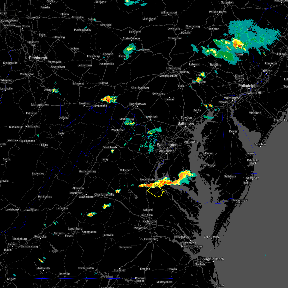 At 536 pm edt, a severe thunderstorm was located over fredericksburg, moving southeast at 20 mph (radar indicated). Hazards include 60 mph wind gusts and nickel size hail. Expect damage to trees and powerlines. locations impacted include, bowling green, port royal, fort a. p. Hill, rappahannock academy, villboro, guinea, corbin and woodford. At 536 pm edt, a severe thunderstorm was located over fredericksburg, moving southeast at 20 mph (radar indicated). Hazards include 60 mph wind gusts and nickel size hail. Expect damage to trees and powerlines. locations impacted include, bowling green, port royal, fort a. p. Hill, rappahannock academy, villboro, guinea, corbin and woodford.
|
| 8/24/2020 5:08 PM EDT |
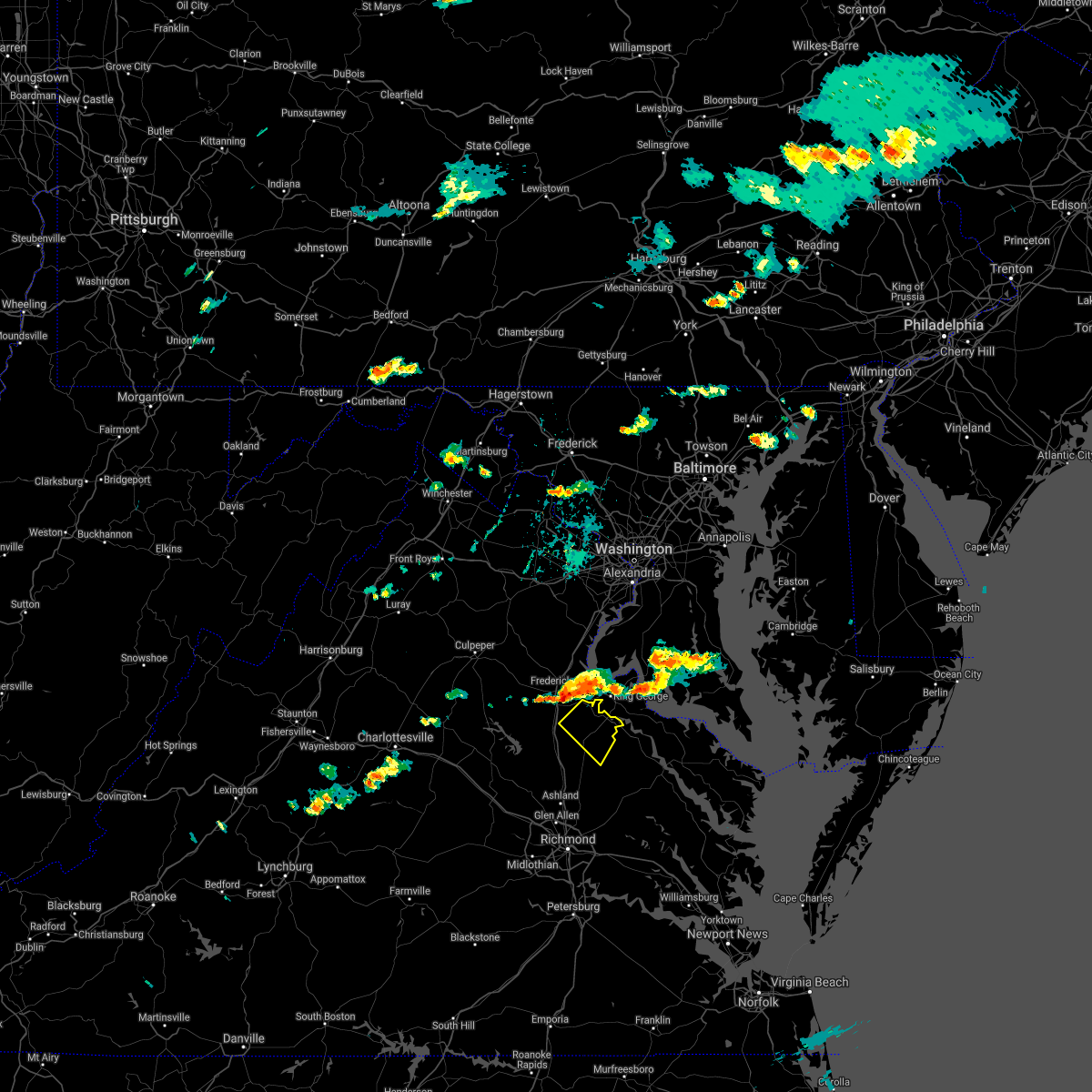 At 508 pm edt, a severe thunderstorm was located 8 miles northwest of fredericksburg, moving southeast at 20 mph (radar indicated). Hazards include 60 mph wind gusts and nickel size hail. Expect damage to trees and powerlines. This severe thunderstorm will remain over mainly rural areas of northeastern caroline county, including the following locations, rappahannock academy, sparta, villboro, woodford, guinea and corbin. At 508 pm edt, a severe thunderstorm was located 8 miles northwest of fredericksburg, moving southeast at 20 mph (radar indicated). Hazards include 60 mph wind gusts and nickel size hail. Expect damage to trees and powerlines. This severe thunderstorm will remain over mainly rural areas of northeastern caroline county, including the following locations, rappahannock academy, sparta, villboro, woodford, guinea and corbin.
|
| 7/28/2020 7:16 PM EDT | Tree knocked down. time estimated from rada in caroline county VA, 4.3 miles NE of Bowling Green, VA |
| 7/28/2020 7:01 PM EDT |
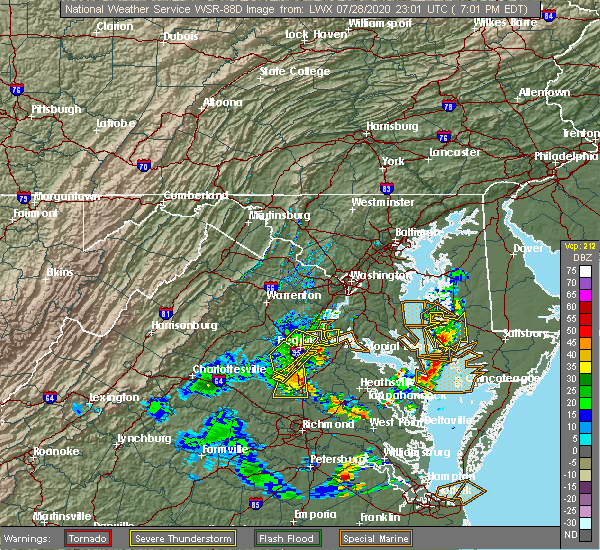 The national weather service in wakefield has issued a * severe thunderstorm warning for. northwestern king and queen county in east central virginia. central caroline county in north central virginia. northwestern essex county in east central virginia. Until 745 pm edt. The national weather service in wakefield has issued a * severe thunderstorm warning for. northwestern king and queen county in east central virginia. central caroline county in north central virginia. northwestern essex county in east central virginia. Until 745 pm edt.
|
| 6/6/2020 8:50 PM EDT | Trees reported down. time estimated by rada in caroline county VA, 2.2 miles NE of Bowling Green, VA |
| 6/6/2020 8:40 PM EDT |
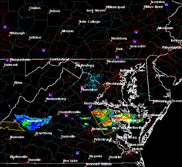 The severe thunderstorm warning for northeastern caroline county will expire at 845 pm edt, however, a severe thunderstorm warning still remains in effect for central caroline county until 915 pm edt. The severe thunderstorm warning for northeastern caroline county will expire at 845 pm edt, however, a severe thunderstorm warning still remains in effect for central caroline county until 915 pm edt.
|
| 6/6/2020 8:37 PM EDT |
 At 837 pm edt, a severe thunderstorm was located near bowling green, moving southeast at 25 mph (radar indicated). Hazards include 60 mph wind gusts and quarter size hail. Minor damage to vehicles is possible. expect wind damage to trees and powerlines. this severe thunderstorm will be near, newtown around 855 pm edt. beulahville and mangohick around 900 pm edt. Other locations impacted by this severe thunderstorm include rappahannock academy, beazley, sparta, owenton, villboro, elevon, supply, central point, etna mills and rexburg. At 837 pm edt, a severe thunderstorm was located near bowling green, moving southeast at 25 mph (radar indicated). Hazards include 60 mph wind gusts and quarter size hail. Minor damage to vehicles is possible. expect wind damage to trees and powerlines. this severe thunderstorm will be near, newtown around 855 pm edt. beulahville and mangohick around 900 pm edt. Other locations impacted by this severe thunderstorm include rappahannock academy, beazley, sparta, owenton, villboro, elevon, supply, central point, etna mills and rexburg.
|
| 6/6/2020 8:22 PM EDT |
 At 821 pm edt, a severe thunderstorm was located near fort a.p. hill, or near bowling green, moving southeast at 25 mph (radar indicated). Hazards include 60 mph wind gusts and quarter size hail. Minor damage to vehicles is possible. expect wind damage to trees and powerlines. this severe storm will be near, bowling green around 830 pm edt. fort a. p. hill around 835 pm edt. Other locations impacted by this severe thunderstorm include rappahannock academy, woodford and villboro. At 821 pm edt, a severe thunderstorm was located near fort a.p. hill, or near bowling green, moving southeast at 25 mph (radar indicated). Hazards include 60 mph wind gusts and quarter size hail. Minor damage to vehicles is possible. expect wind damage to trees and powerlines. this severe storm will be near, bowling green around 830 pm edt. fort a. p. hill around 835 pm edt. Other locations impacted by this severe thunderstorm include rappahannock academy, woodford and villboro.
|
| 6/6/2020 8:02 PM EDT |
 At 801 pm edt, a severe thunderstorm was located near massaponax, or 9 miles south of fredericksburg, moving southeast at 20 mph (radar indicated). Hazards include 60 mph wind gusts and quarter size hail. Minor damage to vehicles is possible. expect wind damage to trees and powerlines. this severe thunderstorm will be near, bowling green and fort a. p. hill around 830 pm edt. milford around 835 pm edt. Other locations impacted by this severe thunderstorm include rappahannock academy, villboro, woodford, guinea and corbin. At 801 pm edt, a severe thunderstorm was located near massaponax, or 9 miles south of fredericksburg, moving southeast at 20 mph (radar indicated). Hazards include 60 mph wind gusts and quarter size hail. Minor damage to vehicles is possible. expect wind damage to trees and powerlines. this severe thunderstorm will be near, bowling green and fort a. p. hill around 830 pm edt. milford around 835 pm edt. Other locations impacted by this severe thunderstorm include rappahannock academy, villboro, woodford, guinea and corbin.
|
| 4/13/2020 8:10 AM EDT |
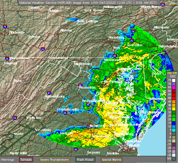 The severe thunderstorm warning for northeastern caroline county will expire at 815 am edt, the storms which prompted the warning have moved out of the area. therefore, the warning will be allowed to expire. The severe thunderstorm warning for northeastern caroline county will expire at 815 am edt, the storms which prompted the warning have moved out of the area. therefore, the warning will be allowed to expire.
|
| 4/13/2020 8:04 AM EDT |
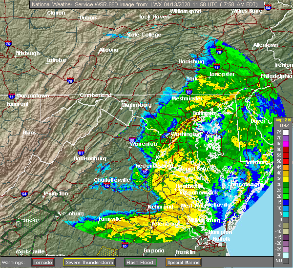 At 804 am edt, severe thunderstorms were located along a line extending from near waldorf to near king george, moving east at 60 mph (radar indicated). Hazards include 60 mph wind gusts. Expect damage to trees and powerlines. locations impacted include, bowling green, port royal, fort a. p. Hill and rappahannock academy. At 804 am edt, severe thunderstorms were located along a line extending from near waldorf to near king george, moving east at 60 mph (radar indicated). Hazards include 60 mph wind gusts. Expect damage to trees and powerlines. locations impacted include, bowling green, port royal, fort a. p. Hill and rappahannock academy.
|
| 4/13/2020 7:47 AM EDT |
 At 747 am edt, severe thunderstorms were located along a line extending from near port tobacco river to near bowling green, moving northeast at 60 mph (radar indicated). Hazards include 60 mph wind gusts. Expect damage to trees and powerlines. These severe thunderstorms will remain over mainly rural areas of caroline county, including the following locations, chilesburg, rappahannock academy, golansville, villboro, nancy wrights corner, guinea, corbin, cedar fork, ruther glen and woodford. At 747 am edt, severe thunderstorms were located along a line extending from near port tobacco river to near bowling green, moving northeast at 60 mph (radar indicated). Hazards include 60 mph wind gusts. Expect damage to trees and powerlines. These severe thunderstorms will remain over mainly rural areas of caroline county, including the following locations, chilesburg, rappahannock academy, golansville, villboro, nancy wrights corner, guinea, corbin, cedar fork, ruther glen and woodford.
|
| 4/13/2020 7:24 AM EDT |
 At 723 am edt, severe thunderstorms were located along a line extending from fredericksburg to near montpelier, moving northeast at 60 mph (radar indicated). Hazards include 60 mph wind gusts. Expect damage to trees and powerlines. severe thunderstorms will be near, bowling green and milford around 745 am edt. fort a. p. hill around 750 am edt. port royal around 755 am edt. Other locations impacted by these severe thunderstorms include chilesburg, rappahannock academy, golansville, villboro, nancy wrights corner, guinea, corbin, cedar fork, ruther glen and woodford. At 723 am edt, severe thunderstorms were located along a line extending from fredericksburg to near montpelier, moving northeast at 60 mph (radar indicated). Hazards include 60 mph wind gusts. Expect damage to trees and powerlines. severe thunderstorms will be near, bowling green and milford around 745 am edt. fort a. p. hill around 750 am edt. port royal around 755 am edt. Other locations impacted by these severe thunderstorms include chilesburg, rappahannock academy, golansville, villboro, nancy wrights corner, guinea, corbin, cedar fork, ruther glen and woodford.
|
| 2/7/2020 8:09 AM EST |
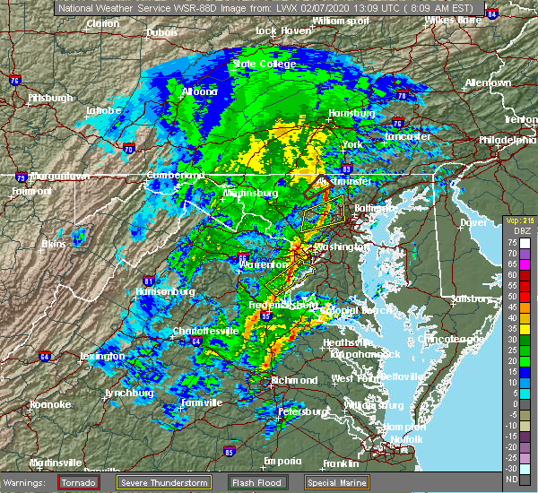 At 809 am est, a severe thunderstorm was located near bowling green, moving northeast at 40 mph (radar indicated). Hazards include 60 mph wind gusts and quarter size hail. Minor damage to vehicles is possible. expect wind damage to trees and powerlines. this severe thunderstorm will be near, loretto around 825 am est. Other locations impacted by this severe thunderstorm include supply, sparta, hustle and chance. At 809 am est, a severe thunderstorm was located near bowling green, moving northeast at 40 mph (radar indicated). Hazards include 60 mph wind gusts and quarter size hail. Minor damage to vehicles is possible. expect wind damage to trees and powerlines. this severe thunderstorm will be near, loretto around 825 am est. Other locations impacted by this severe thunderstorm include supply, sparta, hustle and chance.
|
| 7/11/2019 6:25 PM EDT | Tree down near romas restaurant. sporadic power outages reported in and around bowling green. time estimated from rada in caroline county VA, 0.5 miles NNE of Bowling Green, VA |
| 7/11/2019 6:05 PM EDT |
 The national weather service in wakefield has issued a * severe thunderstorm warning for. northern caroline county in north central virginia. until 630 pm edt. At 604 pm edt, severe thunderstorms were located along a line extending from near fredericksburg to near massaponax to 8 miles. The national weather service in wakefield has issued a * severe thunderstorm warning for. northern caroline county in north central virginia. until 630 pm edt. At 604 pm edt, severe thunderstorms were located along a line extending from near fredericksburg to near massaponax to 8 miles.
|
| 6/24/2019 6:30 PM EDT | Tree down on camden road. time estimated from rada in caroline county VA, 11.7 miles WSW of Bowling Green, VA |
| 6/18/2019 6:08 PM EDT |
 The severe thunderstorm warning for central caroline county will expire at 615 pm edt, the storm which prompted the warning has weakened below severe limits, and no longer poses an immediate threat to life or property. therefore, the warning will be allowed to expire. a severe thunderstorm watch remains in effect until 1000 pm edt for north central virginia. The severe thunderstorm warning for central caroline county will expire at 615 pm edt, the storm which prompted the warning has weakened below severe limits, and no longer poses an immediate threat to life or property. therefore, the warning will be allowed to expire. a severe thunderstorm watch remains in effect until 1000 pm edt for north central virginia.
|
| 6/18/2019 5:50 PM EDT |
 At 549 pm edt, a severe thunderstorm was located near ladysmith, or 8 miles west of milford, moving east at 30 mph (radar indicated). Hazards include ping pong ball size hail and 60 mph wind gusts. People and animals outdoors will be injured. expect hail damage to roofs, siding, windows, and vehicles. expect wind damage to trees and powerlines. this severe storm will be near, milford around 605 pm edt. bowling green around 610 pm edt. fort a. p. hill around 615 pm edt. Other locations impacted by this severe thunderstorm include rappahannock academy, sparta, villboro, nancy wrights corner, guinea, ruther glen, woodford, cedon and golansville. At 549 pm edt, a severe thunderstorm was located near ladysmith, or 8 miles west of milford, moving east at 30 mph (radar indicated). Hazards include ping pong ball size hail and 60 mph wind gusts. People and animals outdoors will be injured. expect hail damage to roofs, siding, windows, and vehicles. expect wind damage to trees and powerlines. this severe storm will be near, milford around 605 pm edt. bowling green around 610 pm edt. fort a. p. hill around 615 pm edt. Other locations impacted by this severe thunderstorm include rappahannock academy, sparta, villboro, nancy wrights corner, guinea, ruther glen, woodford, cedon and golansville.
|
| 6/18/2019 5:27 PM EDT |
 At 526 pm edt, a severe thunderstorm was located 7 miles north of bumpass, or 11 miles northeast of mineral, moving east at 30 mph (radar indicated). Hazards include 60 mph wind gusts and quarter size hail. Minor damage to vehicles is possible. expect wind damage to trees and powerlines. this severe thunderstorm will be near, ladysmith around 550 pm edt. milford around 605 pm edt. bowling green around 610 pm edt. fort a. p. hill around 615 pm edt. Other locations impacted by this severe thunderstorm include chilesburg, rappahannock academy, sparta, golansville, villboro, nancy wrights corner, guinea, ruther glen, woodford and penola. At 526 pm edt, a severe thunderstorm was located 7 miles north of bumpass, or 11 miles northeast of mineral, moving east at 30 mph (radar indicated). Hazards include 60 mph wind gusts and quarter size hail. Minor damage to vehicles is possible. expect wind damage to trees and powerlines. this severe thunderstorm will be near, ladysmith around 550 pm edt. milford around 605 pm edt. bowling green around 610 pm edt. fort a. p. hill around 615 pm edt. Other locations impacted by this severe thunderstorm include chilesburg, rappahannock academy, sparta, golansville, villboro, nancy wrights corner, guinea, ruther glen, woodford and penola.
|
| 5/26/2019 4:22 PM EDT |
 The severe thunderstorm warning for caroline and north central hanover counties will expire at 430 pm edt, the severe thunderstorm which prompted the warning has weakened over the past ten minutes. therefore, the warning will be allowed to expire. The severe thunderstorm warning for caroline and north central hanover counties will expire at 430 pm edt, the severe thunderstorm which prompted the warning has weakened over the past ten minutes. therefore, the warning will be allowed to expire.
|
| 5/26/2019 4:01 PM EDT |
 At 401 pm edt, a severe thunderstorm was located over ladysmith, or near milford, moving southeast at 25 mph (radar indicated). Hazards include 60 mph wind gusts and quarter size hail. Minor damage to vehicles is possible. expect wind damage to trees and powerlines. locations impacted include, bowling green, milford, ladysmith, dawn, fort a. p. Hill, kings dominion, chilesburg, rappahannock academy, sparta, golansville, villboro, guinea, corbin, hewlett, doswell, penola, noel, burruss corner, nancy wrights corner and cedar fork. At 401 pm edt, a severe thunderstorm was located over ladysmith, or near milford, moving southeast at 25 mph (radar indicated). Hazards include 60 mph wind gusts and quarter size hail. Minor damage to vehicles is possible. expect wind damage to trees and powerlines. locations impacted include, bowling green, milford, ladysmith, dawn, fort a. p. Hill, kings dominion, chilesburg, rappahannock academy, sparta, golansville, villboro, guinea, corbin, hewlett, doswell, penola, noel, burruss corner, nancy wrights corner and cedar fork.
|
| 5/26/2019 3:38 PM EDT |
 At 337 pm edt, a severe thunderstorm was located near ladysmith, or 13 miles west of milford, moving southeast at 25 mph (radar indicated). Hazards include 60 mph wind gusts and quarter size hail. Minor damage to vehicles is possible. Expect wind damage to trees and powerlines. At 337 pm edt, a severe thunderstorm was located near ladysmith, or 13 miles west of milford, moving southeast at 25 mph (radar indicated). Hazards include 60 mph wind gusts and quarter size hail. Minor damage to vehicles is possible. Expect wind damage to trees and powerlines.
|
| 5/23/2019 4:52 PM EDT |
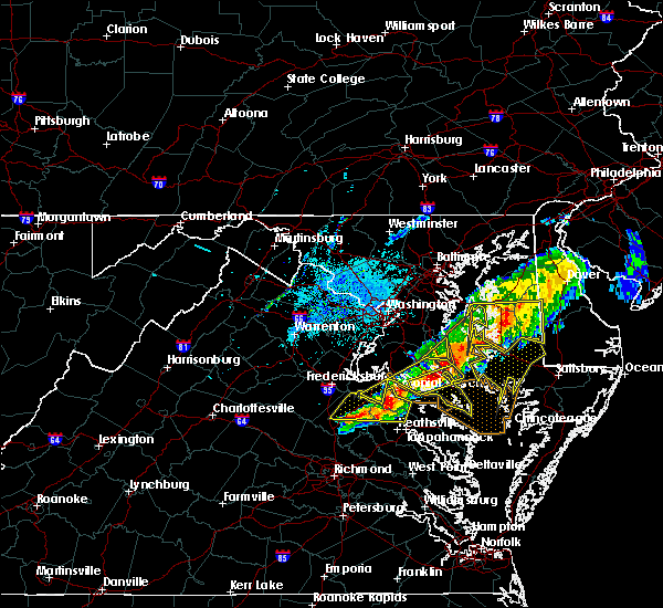 At 452 pm edt, a severe thunderstorm was located near leedstown, or 9 miles northwest of champlain, moving east at 40 mph (radar indicated). Hazards include 60 mph wind gusts. Expect damage to trees and powerlines. this severe storm will be near, champlain and leedstown around 500 pm edt. montross and newland around 510 pm edt. Other locations impacted by this severe thunderstorm include lerty, stratford hall, hustle, potomac beach, potomac mills, oak grove, supply, singerly, peeds and foneswood. At 452 pm edt, a severe thunderstorm was located near leedstown, or 9 miles northwest of champlain, moving east at 40 mph (radar indicated). Hazards include 60 mph wind gusts. Expect damage to trees and powerlines. this severe storm will be near, champlain and leedstown around 500 pm edt. montross and newland around 510 pm edt. Other locations impacted by this severe thunderstorm include lerty, stratford hall, hustle, potomac beach, potomac mills, oak grove, supply, singerly, peeds and foneswood.
|
| 5/23/2019 4:39 PM EDT |
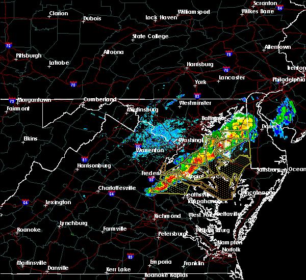 At 439 pm edt, a severe thunderstorm was located over port royal, or 9 miles south of king george, moving east at 40 mph (radar indicated). Hazards include 60 mph wind gusts and quarter size hail. Minor damage to vehicles is possible. expect wind damage to trees and powerlines. this severe storm will be near, loretto around 455 pm edt. champlain and leedstown around 500 pm edt. newland around 510 pm edt. montross around 515 pm edt. Other locations impacted by this severe thunderstorm include rappahannock academy, lerty, villboro, hustle, potomac beach, oak grove, supply, singerly, peeds and foneswood. At 439 pm edt, a severe thunderstorm was located over port royal, or 9 miles south of king george, moving east at 40 mph (radar indicated). Hazards include 60 mph wind gusts and quarter size hail. Minor damage to vehicles is possible. expect wind damage to trees and powerlines. this severe storm will be near, loretto around 455 pm edt. champlain and leedstown around 500 pm edt. newland around 510 pm edt. montross around 515 pm edt. Other locations impacted by this severe thunderstorm include rappahannock academy, lerty, villboro, hustle, potomac beach, oak grove, supply, singerly, peeds and foneswood.
|
| 5/23/2019 4:38 PM EDT | Tree down on roadway near the intersection of us 17 and ap hill boulevard. time estimated from rada in caroline county VA, 10.7 miles SW of Bowling Green, VA |
| 5/23/2019 4:23 PM EDT |
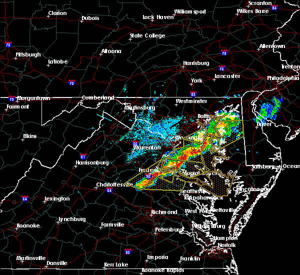 At 422 pm edt, a severe thunderstorm was located near massaponax, or 9 miles northwest of bowling green, moving east at 40 mph (radar indicated). Hazards include 60 mph wind gusts and quarter size hail. Minor damage to vehicles is possible. expect wind damage to trees and powerlines. this severe thunderstorm will be near, bowling green around 430 pm edt. fort a. p. hill around 435 pm edt. port royal around 445 pm edt. loretto around 455 pm edt. champlain and leedstown around 500 pm edt. newland around 510 pm edt. montross around 515 pm edt. Other locations impacted by this severe thunderstorm include rappahannock academy, lerty, villboro, hustle, potomac beach, guinea, corbin, oak grove, supply and singerly. At 422 pm edt, a severe thunderstorm was located near massaponax, or 9 miles northwest of bowling green, moving east at 40 mph (radar indicated). Hazards include 60 mph wind gusts and quarter size hail. Minor damage to vehicles is possible. expect wind damage to trees and powerlines. this severe thunderstorm will be near, bowling green around 430 pm edt. fort a. p. hill around 435 pm edt. port royal around 445 pm edt. loretto around 455 pm edt. champlain and leedstown around 500 pm edt. newland around 510 pm edt. montross around 515 pm edt. Other locations impacted by this severe thunderstorm include rappahannock academy, lerty, villboro, hustle, potomac beach, guinea, corbin, oak grove, supply and singerly.
|
| 4/19/2019 2:03 PM EDT |
 At 203 pm edt, a severe thunderstorm was located near port royal, or 7 miles southwest of king george, moving north at 60 mph (radar indicated). Hazards include 60 mph wind gusts. Expect damage to trees and powerlines. this severe thunderstorm will remain over mainly rural areas of northeastern caroline, northwestern westmoreland and northwestern essex counties, including the following locations, rappahannock academy, villboro, hustle, potomac beach, guinea, corbin, elevon, oak grove, supply and woodford. A tornado watch remains in effect until midnight edt for north central and east central virginia. At 203 pm edt, a severe thunderstorm was located near port royal, or 7 miles southwest of king george, moving north at 60 mph (radar indicated). Hazards include 60 mph wind gusts. Expect damage to trees and powerlines. this severe thunderstorm will remain over mainly rural areas of northeastern caroline, northwestern westmoreland and northwestern essex counties, including the following locations, rappahannock academy, villboro, hustle, potomac beach, guinea, corbin, elevon, oak grove, supply and woodford. A tornado watch remains in effect until midnight edt for north central and east central virginia.
|
| 4/19/2019 1:55 PM EDT |
 At 154 pm edt, a severe thunderstorm was located over bowling green, moving north at 60 mph (radar indicated). Hazards include 60 mph wind gusts. Expect damage to trees and powerlines. this severe storm will be near, port royal around 200 pm edt. other locations impacted by this severe thunderstorm include rappahannock academy, beazley, sparta, golansville, villboro, hustle, potomac beach, guinea, corbin and elevon. A tornado watch remains in effect until midnight edt for north central and east central virginia. At 154 pm edt, a severe thunderstorm was located over bowling green, moving north at 60 mph (radar indicated). Hazards include 60 mph wind gusts. Expect damage to trees and powerlines. this severe storm will be near, port royal around 200 pm edt. other locations impacted by this severe thunderstorm include rappahannock academy, beazley, sparta, golansville, villboro, hustle, potomac beach, guinea, corbin and elevon. A tornado watch remains in effect until midnight edt for north central and east central virginia.
|
| 4/19/2019 1:35 PM EDT |
 At 134 pm edt, a severe thunderstorm was located over kings dominion, or near ashland, moving north at 55 mph (radar indicated). Hazards include 60 mph wind gusts. Expect damage to trees and powerlines. this severe thunderstorm will be near, milford around 150 pm edt. bowling green around 155 pm edt. fort a. p. hill around 200 pm edt. port royal around 205 pm edt. other locations impacted by this severe thunderstorm include beazley, golansville, hustle, potomac beach, guinea, corbin, elevon, supply, penola and nancy wrights corner. A tornado watch remains in effect until midnight edt for central, north central and east central virginia. At 134 pm edt, a severe thunderstorm was located over kings dominion, or near ashland, moving north at 55 mph (radar indicated). Hazards include 60 mph wind gusts. Expect damage to trees and powerlines. this severe thunderstorm will be near, milford around 150 pm edt. bowling green around 155 pm edt. fort a. p. hill around 200 pm edt. port royal around 205 pm edt. other locations impacted by this severe thunderstorm include beazley, golansville, hustle, potomac beach, guinea, corbin, elevon, supply, penola and nancy wrights corner. A tornado watch remains in effect until midnight edt for central, north central and east central virginia.
|
| 4/15/2019 1:55 AM EDT |
 At 155 am edt, severe thunderstorms were located along a line extending from near fairview beach to near ladysmith, moving northeast at 40 mph (radar indicated). Hazards include 60 mph wind gusts and quarter size hail. Minor damage to vehicles is possible. expect wind damage to trees and powerlines. locations impacted include, bowling green, port royal, fort a. p. hill, ladysmith, rappahannock academy, villboro, nancy wrights corner, guinea, corbin, woodford and cedon. A tornado watch remains in effect until 700 am edt for north central and east central virginia. At 155 am edt, severe thunderstorms were located along a line extending from near fairview beach to near ladysmith, moving northeast at 40 mph (radar indicated). Hazards include 60 mph wind gusts and quarter size hail. Minor damage to vehicles is possible. expect wind damage to trees and powerlines. locations impacted include, bowling green, port royal, fort a. p. hill, ladysmith, rappahannock academy, villboro, nancy wrights corner, guinea, corbin, woodford and cedon. A tornado watch remains in effect until 700 am edt for north central and east central virginia.
|
| 1/1/0001 12:00 AM | Trees down reported near fort ap hill... v in caroline county VA, 1.7 miles SW of Bowling Green, VA |
| 4/15/2019 1:28 AM EDT |
 At 128 am edt, a severe thunderstorm was located near massaponax, or 7 miles south of fredericksburg, moving northeast at 80 mph (radar indicated). Hazards include 60 mph wind gusts and quarter size hail. Minor damage to vehicles is possible. expect wind damage to trees and powerlines. this severe thunderstorm will remain over mainly rural areas of northern caroline county, including the following locations, rappahannock academy, villboro, nancy wrights corner, guinea, corbin, woodford and cedon. A tornado watch remains in effect until 700 am edt for north central and east central virginia. At 128 am edt, a severe thunderstorm was located near massaponax, or 7 miles south of fredericksburg, moving northeast at 80 mph (radar indicated). Hazards include 60 mph wind gusts and quarter size hail. Minor damage to vehicles is possible. expect wind damage to trees and powerlines. this severe thunderstorm will remain over mainly rural areas of northern caroline county, including the following locations, rappahannock academy, villboro, nancy wrights corner, guinea, corbin, woodford and cedon. A tornado watch remains in effect until 700 am edt for north central and east central virginia.
|
| 3/22/2019 5:11 PM EDT |
 At 510 pm edt, a severe thunderstorm was located near fredericksburg, moving southeast at 50 mph (radar indicated). Hazards include 60 mph wind gusts and penny size hail. Expect damage to trees and powerlines. this severe thunderstorm will be near, port royal and fort a. p. hill around 525 pm edt. leedstown and loretto around 535 pm edt. champlain around 540 pm edt. montross and newland around 545 pm edt. warsaw and hague around 555 pm edt. Other locations impacted by this severe thunderstorm include currioman landing, hustle, guinea, corbin, elevon, supply, mount holly, penola, stratford hall and lyells. At 510 pm edt, a severe thunderstorm was located near fredericksburg, moving southeast at 50 mph (radar indicated). Hazards include 60 mph wind gusts and penny size hail. Expect damage to trees and powerlines. this severe thunderstorm will be near, port royal and fort a. p. hill around 525 pm edt. leedstown and loretto around 535 pm edt. champlain around 540 pm edt. montross and newland around 545 pm edt. warsaw and hague around 555 pm edt. Other locations impacted by this severe thunderstorm include currioman landing, hustle, guinea, corbin, elevon, supply, mount holly, penola, stratford hall and lyells.
|
| 8/12/2018 4:28 PM EDT |
 At 428 pm edt, severe thunderstorms were located along a line extending from near potomac creek to near bowling green, moving east at 25 mph (radar indicated). Hazards include 60 mph wind gusts. Expect damage to trees and powerlines. these severe storms will be near, port royal and fort a. p. hill around 445 pm edt. Other locations impacted by these severe thunderstorms include rappahannock academy, villboro, woodford, nancy wrights corner, guinea and corbin. At 428 pm edt, severe thunderstorms were located along a line extending from near potomac creek to near bowling green, moving east at 25 mph (radar indicated). Hazards include 60 mph wind gusts. Expect damage to trees and powerlines. these severe storms will be near, port royal and fort a. p. hill around 445 pm edt. Other locations impacted by these severe thunderstorms include rappahannock academy, villboro, woodford, nancy wrights corner, guinea and corbin.
|
| 8/12/2018 4:07 PM EDT |
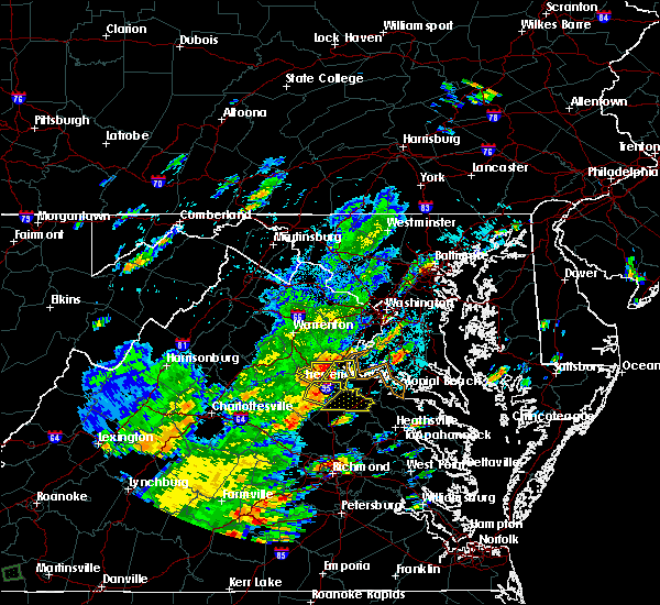 At 407 pm edt, severe thunderstorms were located along a line extending from near fredericksburg to near ladysmith, moving east at 40 mph (radar indicated). Hazards include 60 mph wind gusts. Expect damage to trees and powerlines. severe thunderstorms will be near, bowling green around 425 pm edt. fort a. p. hill around 430 pm edt. port royal around 440 pm edt. Other locations impacted by these severe thunderstorms include rappahannock academy, villboro, woodford, nancy wrights corner, guinea and corbin. At 407 pm edt, severe thunderstorms were located along a line extending from near fredericksburg to near ladysmith, moving east at 40 mph (radar indicated). Hazards include 60 mph wind gusts. Expect damage to trees and powerlines. severe thunderstorms will be near, bowling green around 425 pm edt. fort a. p. hill around 430 pm edt. port royal around 440 pm edt. Other locations impacted by these severe thunderstorms include rappahannock academy, villboro, woodford, nancy wrights corner, guinea and corbin.
|
| 6/24/2018 4:40 PM EDT | Numerous trees reported down county wid in caroline county VA, 2.7 miles NW of Bowling Green, VA |
| 6/24/2018 4:35 PM EDT |
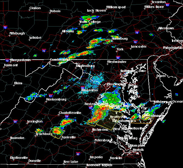 At 435 pm edt, severe thunderstorms were located along a line extending from fort a.p. hill to near bowling green to near milford to 6 miles northwest of randolph macon college, moving east at 40 mph (radar indicated). Hazards include 60 mph wind gusts and penny size hail. Expect damage to trees and powerlines. locations impacted include, ashland, bowling green, milford, randolph macon college, hanover, port royal, dawn, fort a. p. Hill, kings dominion, rappahannock academy, sparta, oliver, gum tree, doswell, penola, gilman and burruss corner. At 435 pm edt, severe thunderstorms were located along a line extending from fort a.p. hill to near bowling green to near milford to 6 miles northwest of randolph macon college, moving east at 40 mph (radar indicated). Hazards include 60 mph wind gusts and penny size hail. Expect damage to trees and powerlines. locations impacted include, ashland, bowling green, milford, randolph macon college, hanover, port royal, dawn, fort a. p. Hill, kings dominion, rappahannock academy, sparta, oliver, gum tree, doswell, penola, gilman and burruss corner.
|
| 6/24/2018 4:20 PM EDT |
 At 420 pm edt, severe thunderstorms were located along a line extending from near massaponax to near milford to near ladysmith to near montpelier, moving east at 40 mph (radar indicated). Hazards include 60 mph wind gusts and quarter size hail. Minor damage to vehicles is possible. expect wind damage to trees and powerlines. these severe storms will be near, milford around 425 pm edt. bowling green around 430 pm edt. fort a. p. hill around 435 pm edt. ashland, randolph macon college, port royal and kings dominion around 440 pm edt. hanover and dawn around 445 pm edt. Other locations impacted by these severe thunderstorms include rappahannock academy, chilesburg, sparta, golansville, villboro, oliver, guinea, corbin, gum tree and coatesville. At 420 pm edt, severe thunderstorms were located along a line extending from near massaponax to near milford to near ladysmith to near montpelier, moving east at 40 mph (radar indicated). Hazards include 60 mph wind gusts and quarter size hail. Minor damage to vehicles is possible. expect wind damage to trees and powerlines. these severe storms will be near, milford around 425 pm edt. bowling green around 430 pm edt. fort a. p. hill around 435 pm edt. ashland, randolph macon college, port royal and kings dominion around 440 pm edt. hanover and dawn around 445 pm edt. Other locations impacted by these severe thunderstorms include rappahannock academy, chilesburg, sparta, golansville, villboro, oliver, guinea, corbin, gum tree and coatesville.
|
| 6/24/2018 4:05 PM EDT |
 At 405 pm edt, severe thunderstorms were located along a line extending from near spotsylvania to near ladysmith to near bumpass to 6 miles northeast of hadensville, moving east at 35 mph (radar indicated). Hazards include 60 mph wind gusts and quarter size hail. Minor damage to vehicles is possible. expect wind damage to trees and powerlines. severe thunderstorms will be near, ladysmith around 415 pm edt. milford and montpelier around 425 pm edt. bowling green and fort a. p. hill around 430 pm edt. port royal around 435 pm edt. ashland and randolph macon college around 440 pm edt. hanover, kings dominion and dawn around 445 pm edt. Other locations impacted by these severe thunderstorms include chilesburg, golansville, guinea, corbin, gum tree, penola, gilman, nancy wrights corner, cedar fork and ruther glen. At 405 pm edt, severe thunderstorms were located along a line extending from near spotsylvania to near ladysmith to near bumpass to 6 miles northeast of hadensville, moving east at 35 mph (radar indicated). Hazards include 60 mph wind gusts and quarter size hail. Minor damage to vehicles is possible. expect wind damage to trees and powerlines. severe thunderstorms will be near, ladysmith around 415 pm edt. milford and montpelier around 425 pm edt. bowling green and fort a. p. hill around 430 pm edt. port royal around 435 pm edt. ashland and randolph macon college around 440 pm edt. hanover, kings dominion and dawn around 445 pm edt. Other locations impacted by these severe thunderstorms include chilesburg, golansville, guinea, corbin, gum tree, penola, gilman, nancy wrights corner, cedar fork and ruther glen.
|
| 5/14/2018 7:17 PM EDT |
 At 717 pm edt, severe thunderstorms were located along a line extending from nanjemoy creek to near ladysmith to new canton, moving east at 50 mph (radar indicated). Hazards include 60 mph wind gusts and quarter size hail. Minor damage to vehicles is possible. expect wind damage to trees and powerlines. these severe storms will be near, ladysmith around 720 pm edt. milford and kings dominion around 725 pm edt. fife and dawn around 730 pm edt. oilville around 745 pm edt. Other locations impacted by these severe thunderstorms include chilesburg, orchid, gum tree, three square, central plains, bremo bluff, west view, nancy wrights corner, ruther glen and wilmington. At 717 pm edt, severe thunderstorms were located along a line extending from nanjemoy creek to near ladysmith to new canton, moving east at 50 mph (radar indicated). Hazards include 60 mph wind gusts and quarter size hail. Minor damage to vehicles is possible. expect wind damage to trees and powerlines. these severe storms will be near, ladysmith around 720 pm edt. milford and kings dominion around 725 pm edt. fife and dawn around 730 pm edt. oilville around 745 pm edt. Other locations impacted by these severe thunderstorms include chilesburg, orchid, gum tree, three square, central plains, bremo bluff, west view, nancy wrights corner, ruther glen and wilmington.
|
| 5/14/2018 7:02 PM EDT |
 At 702 pm edt, severe thunderstorms were located along a line extending from near aquia creek to near bumpass to near centenary, moving east at 50 mph (radar indicated). Hazards include 60 mph wind gusts and penny size hail. Expect damage to trees and powerlines. severe thunderstorms will be near, bumpass around 705 pm edt. fork union and ladysmith around 715 pm edt. milford around 720 pm edt. columbia, dawn and kings dominion around 725 pm edt. fife around 730 pm edt. oilville around 745 pm edt. Other locations impacted by these severe thunderstorms include chilesburg, orchid, gum tree, three square, central plains, bremo bluff, west view, nancy wrights corner, wares crossroads and ruther glen. At 702 pm edt, severe thunderstorms were located along a line extending from near aquia creek to near bumpass to near centenary, moving east at 50 mph (radar indicated). Hazards include 60 mph wind gusts and penny size hail. Expect damage to trees and powerlines. severe thunderstorms will be near, bumpass around 705 pm edt. fork union and ladysmith around 715 pm edt. milford around 720 pm edt. columbia, dawn and kings dominion around 725 pm edt. fife around 730 pm edt. oilville around 745 pm edt. Other locations impacted by these severe thunderstorms include chilesburg, orchid, gum tree, three square, central plains, bremo bluff, west view, nancy wrights corner, wares crossroads and ruther glen.
|
| 5/10/2018 4:13 PM EDT |
 At 413 pm edt, severe thunderstorms were located along a line extending from near randolph macon college to near kings dominion to near milford, moving east at 35 mph (radar indicated). Hazards include 60 mph wind gusts and quarter size hail. Minor damage to vehicles is possible. expect wind damage to trees and powerlines. severe thunderstorms will be near, bowling green around 420 pm edt. dawn around 425 pm edt. mangohick and beulahville around 435 pm edt. newtown around 440 pm edt. loretto around 445 pm edt. champlain around 450 pm edt. saint stephens church and millers tavern around 455 pm edt. tappahannock around 500 pm edt. Other locations impacted by these severe thunderstorms include beazley, hustle, elevon, gum tree, penola, epworth, biscoe, globe, mount landing and duane fork. At 413 pm edt, severe thunderstorms were located along a line extending from near randolph macon college to near kings dominion to near milford, moving east at 35 mph (radar indicated). Hazards include 60 mph wind gusts and quarter size hail. Minor damage to vehicles is possible. expect wind damage to trees and powerlines. severe thunderstorms will be near, bowling green around 420 pm edt. dawn around 425 pm edt. mangohick and beulahville around 435 pm edt. newtown around 440 pm edt. loretto around 445 pm edt. champlain around 450 pm edt. saint stephens church and millers tavern around 455 pm edt. tappahannock around 500 pm edt. Other locations impacted by these severe thunderstorms include beazley, hustle, elevon, gum tree, penola, epworth, biscoe, globe, mount landing and duane fork.
|
| 8/18/2017 7:28 PM EDT |
 At 727 pm edt, a severe thunderstorm was located near fort a.p. hill, or 7 miles east of bowling green, moving east at 50 mph (radar indicated). Hazards include 60 mph wind gusts. Expect damage to trees and powerlines. this severe storm will be near, champlain, leedstown and loretto around 740 pm edt. newland around 745 pm edt. montross around 750 pm edt. Other locations impacted by this severe thunderstorm include lerty, beazley, sparta, hustle, elevon, oak grove, supply, peeds, singerly and central point. At 727 pm edt, a severe thunderstorm was located near fort a.p. hill, or 7 miles east of bowling green, moving east at 50 mph (radar indicated). Hazards include 60 mph wind gusts. Expect damage to trees and powerlines. this severe storm will be near, champlain, leedstown and loretto around 740 pm edt. newland around 745 pm edt. montross around 750 pm edt. Other locations impacted by this severe thunderstorm include lerty, beazley, sparta, hustle, elevon, oak grove, supply, peeds, singerly and central point.
|
| 8/18/2017 7:21 PM EDT | Numerous trees down in sparta with damage to a hom in caroline county VA, 7.8 miles NW of Bowling Green, VA |
| 8/18/2017 7:20 PM EDT | Numerous trees down across caroline county primarily in the central and eastern portions of the county. numerous roads blocked by fallen tree in caroline county VA, 1.8 miles N of Bowling Green, VA |
| 8/18/2017 7:13 PM EDT |
 At 713 pm edt, a severe thunderstorm was located near milford, moving east at 50 mph (radar indicated). Hazards include 60 mph wind gusts. Expect damage to trees and powerlines. this severe thunderstorm will be near, fort a. p. hill around 725 pm edt. port royal around 730 pm edt. champlain, leedstown and loretto around 740 pm edt. montross and newland around 750 pm edt. Other locations impacted by this severe thunderstorm include beazley, golansville, hustle, elevon, supply, penola, stratford hall, cedon, lerty and sparta. At 713 pm edt, a severe thunderstorm was located near milford, moving east at 50 mph (radar indicated). Hazards include 60 mph wind gusts. Expect damage to trees and powerlines. this severe thunderstorm will be near, fort a. p. hill around 725 pm edt. port royal around 730 pm edt. champlain, leedstown and loretto around 740 pm edt. montross and newland around 750 pm edt. Other locations impacted by this severe thunderstorm include beazley, golansville, hustle, elevon, supply, penola, stratford hall, cedon, lerty and sparta.
|
| 7/22/2017 6:40 PM EDT | Trees down on rt. 2 near stonewall jackson r in caroline county VA, 8.2 miles SSE of Bowling Green, VA |
| 7/6/2017 8:01 PM EDT |
 At 758 pm edt, severe thunderstorms were located along a line extending from near king george to near port royal to bowling green, moving east at 30 mph (radar indicated). Hazards include 70 mph wind gusts and quarter size hail. Minor damage to vehicles is possible. expect considerable tree damage. Wind damage is also likely to mobile homes, roofs, and outbuildings. At 758 pm edt, severe thunderstorms were located along a line extending from near king george to near port royal to bowling green, moving east at 30 mph (radar indicated). Hazards include 70 mph wind gusts and quarter size hail. Minor damage to vehicles is possible. expect considerable tree damage. Wind damage is also likely to mobile homes, roofs, and outbuildings.
|
| 7/6/2017 8:00 PM EDT | Trees down in the fort ap hill are in caroline county VA, 5.6 miles SW of Bowling Green, VA |
| 5/19/2017 6:25 PM EDT |
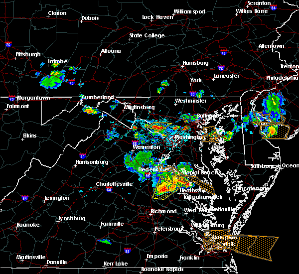 At 624 pm edt, a severe thunderstorm was located near montross, moving east at 15 mph (radar indicated). Hazards include 60 mph wind gusts and quarter size hail. Minor damage to vehicles is possible. expect wind damage to trees and powerlines. This severe thunderstorm will remain over mainly rural areas of northwestern king and queen, northwestern richmond, eastern caroline, northwestern westmoreland, northwestern king william and northwestern essex counties, including the following locations: rappahannock academy, lerty, beazley, sparta, currioman landing, hustle, potomac beach, rollins fork, elevon and oak grove. At 624 pm edt, a severe thunderstorm was located near montross, moving east at 15 mph (radar indicated). Hazards include 60 mph wind gusts and quarter size hail. Minor damage to vehicles is possible. expect wind damage to trees and powerlines. This severe thunderstorm will remain over mainly rural areas of northwestern king and queen, northwestern richmond, eastern caroline, northwestern westmoreland, northwestern king william and northwestern essex counties, including the following locations: rappahannock academy, lerty, beazley, sparta, currioman landing, hustle, potomac beach, rollins fork, elevon and oak grove.
|
| 5/19/2017 6:23 PM EDT | One tree down on sparta r in caroline county VA, 9.2 miles WNW of Bowling Green, VA |
| 5/19/2017 6:07 PM EDT |
 At 607 pm edt, a severe thunderstorm was located near leedstown, or near colonial beach, moving east at 25 mph (radar indicated). Hazards include 60 mph wind gusts and quarter size hail. Minor damage to vehicles is possible. expect wind damage to trees and powerlines. this severe thunderstorm will be near, montross around 625 pm edt. Other locations impacted by this severe thunderstorm include beazley, currioman landing, hustle, potomac beach, elevon, supply, penola, stratford hall, duane fork and rappahannock academy. At 607 pm edt, a severe thunderstorm was located near leedstown, or near colonial beach, moving east at 25 mph (radar indicated). Hazards include 60 mph wind gusts and quarter size hail. Minor damage to vehicles is possible. expect wind damage to trees and powerlines. this severe thunderstorm will be near, montross around 625 pm edt. Other locations impacted by this severe thunderstorm include beazley, currioman landing, hustle, potomac beach, elevon, supply, penola, stratford hall, duane fork and rappahannock academy.
|
| 5/5/2017 9:26 PM EDT |
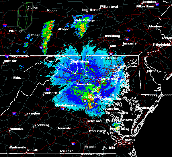 At 926 pm edt, a severe thunderstorm was located over bowling green, moving northeast at 25 mph (radar indicated). Hazards include 60 mph wind gusts and penny size hail. Expect damage to trees and powerlines. this severe thunderstorm will be near, fort a. p. hill around 935 pm edt. port royal around 950 pm edt. Other locations impacted by this severe thunderstorm include rappahannock academy, villboro and woodford. At 926 pm edt, a severe thunderstorm was located over bowling green, moving northeast at 25 mph (radar indicated). Hazards include 60 mph wind gusts and penny size hail. Expect damage to trees and powerlines. this severe thunderstorm will be near, fort a. p. hill around 935 pm edt. port royal around 950 pm edt. Other locations impacted by this severe thunderstorm include rappahannock academy, villboro and woodford.
|
| 5/5/2017 6:27 PM EDT |
 At 627 pm edt, a severe thunderstorm was located near ladysmith, or 11 miles west of milford, moving northeast at 30 mph (radar indicated). Hazards include 60 mph wind gusts and quarter size hail. Minor damage to vehicles is possible. expect wind damage to trees and powerlines. this severe thunderstorm will be near, ladysmith around 635 pm edt. bowling green around 655 pm edt. Other locations impacted by this severe thunderstorm include rappahannock academy, chilesburg, golansville, villboro, nancy wrights corner, guinea, corbin, cedar fork, ruther glen and woodford. At 627 pm edt, a severe thunderstorm was located near ladysmith, or 11 miles west of milford, moving northeast at 30 mph (radar indicated). Hazards include 60 mph wind gusts and quarter size hail. Minor damage to vehicles is possible. expect wind damage to trees and powerlines. this severe thunderstorm will be near, ladysmith around 635 pm edt. bowling green around 655 pm edt. Other locations impacted by this severe thunderstorm include rappahannock academy, chilesburg, golansville, villboro, nancy wrights corner, guinea, corbin, cedar fork, ruther glen and woodford.
|
| 5/5/2017 6:03 PM EDT |
 At 602 pm edt, a severe thunderstorm was located near bumpass, or 14 miles northwest of randolph macon college, moving northeast at 35 mph (radar indicated). Hazards include 60 mph wind gusts and quarter size hail. Minor damage to vehicles is possible. expect wind damage to trees and powerlines. this severe thunderstorm will be near, ladysmith around 625 pm edt. bowling green and milford around 630 pm edt. Other locations impacted by this severe thunderstorm include chilesburg, golansville, beaverdam, nancy wrights corner, cedar fork, coatesville, hewlett, ruther glen, penola and noel. At 602 pm edt, a severe thunderstorm was located near bumpass, or 14 miles northwest of randolph macon college, moving northeast at 35 mph (radar indicated). Hazards include 60 mph wind gusts and quarter size hail. Minor damage to vehicles is possible. expect wind damage to trees and powerlines. this severe thunderstorm will be near, ladysmith around 625 pm edt. bowling green and milford around 630 pm edt. Other locations impacted by this severe thunderstorm include chilesburg, golansville, beaverdam, nancy wrights corner, cedar fork, coatesville, hewlett, ruther glen, penola and noel.
|
| 5/5/2017 7:39 AM EDT |
 At 738 am edt, severe thunderstorms were located along a line extending from near bowling green to near mangohick to near highland springs, moving northeast at 40 mph (radar indicated). Hazards include 60 mph wind gusts. Expect damage to roofs, siding, and trees. severe thunderstorms will be near, bowling green, beulahville and aylett around 745 am edt. saint stephens church, newtown and fort a. p. hill around 750 am edt. port royal and tunstall around 755 am edt. manquin and millers tavern around 800 am edt. tappahannock and champlain around 805 am edt. king william around 810 am edt. colonial beach, king and queen court house, stevensville and newland around 815 am edt. warsaw and montross around 820 am edt. other locations impacted by these severe thunderstorms include beazley, currioman landing, threeway, etna mills, montrose, sandston, biscoe, lyells, chamberlayne and atlee. A tornado watch remains in effect until 100 pm edt for east central virginia. At 738 am edt, severe thunderstorms were located along a line extending from near bowling green to near mangohick to near highland springs, moving northeast at 40 mph (radar indicated). Hazards include 60 mph wind gusts. Expect damage to roofs, siding, and trees. severe thunderstorms will be near, bowling green, beulahville and aylett around 745 am edt. saint stephens church, newtown and fort a. p. hill around 750 am edt. port royal and tunstall around 755 am edt. manquin and millers tavern around 800 am edt. tappahannock and champlain around 805 am edt. king william around 810 am edt. colonial beach, king and queen court house, stevensville and newland around 815 am edt. warsaw and montross around 820 am edt. other locations impacted by these severe thunderstorms include beazley, currioman landing, threeway, etna mills, montrose, sandston, biscoe, lyells, chamberlayne and atlee. A tornado watch remains in effect until 100 pm edt for east central virginia.
|
| 2/25/2017 2:50 PM EST |
 At 250 pm est, a severe thunderstorm was located 7 miles northwest of kings dominion, or 10 miles northwest of randolph macon college, moving northeast at 45 mph (radar indicated). Hazards include 60 mph wind gusts and half dollar size hail. Hail damage to vehicles is expected. expect wind damage to roofs, siding, and trees. this severe thunderstorm will be near, bowling green and milford around 310 pm est. fort a. p. hill around 320 pm est. port royal around 325 pm est. champlain and loretto around 330 pm est. Other locations impacted by this severe thunderstorm include rappahannock academy, sparta, golansville, hustle, oliver, elevon, supply, coatesville, central point and hewlett. At 250 pm est, a severe thunderstorm was located 7 miles northwest of kings dominion, or 10 miles northwest of randolph macon college, moving northeast at 45 mph (radar indicated). Hazards include 60 mph wind gusts and half dollar size hail. Hail damage to vehicles is expected. expect wind damage to roofs, siding, and trees. this severe thunderstorm will be near, bowling green and milford around 310 pm est. fort a. p. hill around 320 pm est. port royal around 325 pm est. champlain and loretto around 330 pm est. Other locations impacted by this severe thunderstorm include rappahannock academy, sparta, golansville, hustle, oliver, elevon, supply, coatesville, central point and hewlett.
|
| 8/17/2016 8:46 PM EDT |
 At 846 pm edt, severe thunderstorms were located along a line extending from milford to 7 miles northwest of newtown to near millers tavern, moving northeast at 25 mph (law enforcement). Hazards include 60 mph wind gusts. Expect damage to roofs. siding. And trees. At 846 pm edt, severe thunderstorms were located along a line extending from milford to 7 miles northwest of newtown to near millers tavern, moving northeast at 25 mph (law enforcement). Hazards include 60 mph wind gusts. Expect damage to roofs. siding. And trees.
|
| 8/17/2016 8:40 PM EDT | Tree down blocking south bound 30 in caroline county VA, 2.6 miles NNW of Bowling Green, VA |
| 8/17/2016 8:30 PM EDT | Trees dow in caroline county VA, 7.4 miles N of Bowling Green, VA |
| 7/19/2016 3:37 PM EDT |
 At 337 pm edt, a severe thunderstorm was located over ladysmith, or 8 miles west of milford, moving southeast at 25 mph (radar indicated). Hazards include 70 mph wind gusts and ping pong ball size hail. People and animals outdoors will be injured. expect hail damage to roofs, siding, windows, and vehicles. expect considerable tree damage. wind damage is also likely to mobile homes, roofs, and outbuildings. this severe storm will be near, milford around 350 pm edt. kings dominion around 400 pm edt. other locations impacted by this severe thunderstorm include cedar fork, woodford, golansville, sparta, burruss corner, gum tree, cedon, hewlett, guinea and noel. precautionary/preparedness actions, for your protection move to an interior room on the lowest floor of a building. please send your reports of hail and or wind damage, including trees or large limbs downed, by calling noaa`s national weather service in wakefield at , 7 5 7, 8 9 9, 2 4 1 5. At 337 pm edt, a severe thunderstorm was located over ladysmith, or 8 miles west of milford, moving southeast at 25 mph (radar indicated). Hazards include 70 mph wind gusts and ping pong ball size hail. People and animals outdoors will be injured. expect hail damage to roofs, siding, windows, and vehicles. expect considerable tree damage. wind damage is also likely to mobile homes, roofs, and outbuildings. this severe storm will be near, milford around 350 pm edt. kings dominion around 400 pm edt. other locations impacted by this severe thunderstorm include cedar fork, woodford, golansville, sparta, burruss corner, gum tree, cedon, hewlett, guinea and noel. precautionary/preparedness actions, for your protection move to an interior room on the lowest floor of a building. please send your reports of hail and or wind damage, including trees or large limbs downed, by calling noaa`s national weather service in wakefield at , 7 5 7, 8 9 9, 2 4 1 5.
|
| 7/19/2016 3:16 PM EDT |
 At 315 pm edt, a severe thunderstorm was located near spotsylvania, or 12 miles northwest of milford, moving southeast at 35 mph (radar indicated). Hazards include 60 mph wind gusts and quarter size hail. Hail damage to vehicles is expected. expect wind damage to roofs, siding, and trees. this severe thunderstorm will be near, ladysmith around 325 pm edt. bowling green and milford around 335 pm edt. Other locations impacted by this severe thunderstorm include cedar fork, woodford, golansville, sparta, burruss corner, gum tree, cedon, hewlett, guinea and noel. At 315 pm edt, a severe thunderstorm was located near spotsylvania, or 12 miles northwest of milford, moving southeast at 35 mph (radar indicated). Hazards include 60 mph wind gusts and quarter size hail. Hail damage to vehicles is expected. expect wind damage to roofs, siding, and trees. this severe thunderstorm will be near, ladysmith around 325 pm edt. bowling green and milford around 335 pm edt. Other locations impacted by this severe thunderstorm include cedar fork, woodford, golansville, sparta, burruss corner, gum tree, cedon, hewlett, guinea and noel.
|
| 7/1/2016 7:05 PM EDT | Strong wind caused huge branches to break off trees and fly into house in caroline county VA, 3 miles NE of Bowling Green, VA |
| 6/16/2016 8:55 PM EDT |
 At 854 pm edt, severe thunderstorms were located along a line extending from near quantico to near kents store, moving east at 40 mph (radar indicated). Hazards include 60 mph wind gusts and quarter size hail. Hail damage to vehicles is expected. expect wind damage to roofs, siding, and trees. severe thunderstorms will be near, montpelier around 925 pm edt. wyndham around 930 pm edt. ashland and randolph macon college around 935 pm edt. glen allen around 940 pm edt. hanover around 945 pm edt. Other locations impacted by these severe thunderstorms include supply, elevon, hustle, woodford, pendleton, sparta, burruss corner, cedon, hewlett and guinea. At 854 pm edt, severe thunderstorms were located along a line extending from near quantico to near kents store, moving east at 40 mph (radar indicated). Hazards include 60 mph wind gusts and quarter size hail. Hail damage to vehicles is expected. expect wind damage to roofs, siding, and trees. severe thunderstorms will be near, montpelier around 925 pm edt. wyndham around 930 pm edt. ashland and randolph macon college around 935 pm edt. glen allen around 940 pm edt. hanover around 945 pm edt. Other locations impacted by these severe thunderstorms include supply, elevon, hustle, woodford, pendleton, sparta, burruss corner, cedon, hewlett and guinea.
|
| 6/16/2016 8:53 PM EDT |
 At 853 pm edt, a severe thunderstorm was located near ladysmith, or 12 miles southwest of milford, moving southeast at 25 mph (radar indicated). Hazards include two inch hail and 70 mph wind gusts. People and animals outdoors will be injured. expect hail damage to roofs, siding, windows, and vehicles. expect considerable tree damage. wind damage is also likely to mobile homes, roofs, and outbuildings. locations impacted include, bowling green, milford, ladysmith, oliver, cedar fork, beaverdam, doswell, chilesburg, golansville, gilman, penola, cedon, coatesville, hewlett, noel, nancy wrights corner and ruther glen. precautionary/preparedness actions, this thunderstorm is capable of producing all types of severe weather including extremely large hail, destructive straight line winds and tornadoes. move quickly to a safe shelter, such as an interior room, a bathroom or closet or basement. torrential rainfall is occurring with this storm, and may lead to flash flooding. do not drive your vehicle through flooded roadways. please send your reports of hail and or wind damage, including trees or large limbs downed, by calling noaa`s national weather service in wakefield at , 7 5 7, 8 9 9, 2 4 1 5. At 853 pm edt, a severe thunderstorm was located near ladysmith, or 12 miles southwest of milford, moving southeast at 25 mph (radar indicated). Hazards include two inch hail and 70 mph wind gusts. People and animals outdoors will be injured. expect hail damage to roofs, siding, windows, and vehicles. expect considerable tree damage. wind damage is also likely to mobile homes, roofs, and outbuildings. locations impacted include, bowling green, milford, ladysmith, oliver, cedar fork, beaverdam, doswell, chilesburg, golansville, gilman, penola, cedon, coatesville, hewlett, noel, nancy wrights corner and ruther glen. precautionary/preparedness actions, this thunderstorm is capable of producing all types of severe weather including extremely large hail, destructive straight line winds and tornadoes. move quickly to a safe shelter, such as an interior room, a bathroom or closet or basement. torrential rainfall is occurring with this storm, and may lead to flash flooding. do not drive your vehicle through flooded roadways. please send your reports of hail and or wind damage, including trees or large limbs downed, by calling noaa`s national weather service in wakefield at , 7 5 7, 8 9 9, 2 4 1 5.
|
| 6/16/2016 8:27 PM EDT |
 At 827 pm edt, a severe thunderstorm was located over bumpass, or 9 miles east of mineral, moving southeast at 30 mph (radar indicated). Hazards include two inch hail and 70 mph wind gusts. People and animals outdoors will be injured. expect hail damage to roofs, siding, windows, and vehicles. expect considerable tree damage. wind damage is also likely to mobile homes, roofs, and outbuildings. This severe thunderstorm will remain over mainly rural areas of southwestern caroline and northwestern hanover counties, including the following locations: oliver, cedar fork, beaverdam, doswell, chilesburg, golansville, gilman, penola, cedon and coatesville. At 827 pm edt, a severe thunderstorm was located over bumpass, or 9 miles east of mineral, moving southeast at 30 mph (radar indicated). Hazards include two inch hail and 70 mph wind gusts. People and animals outdoors will be injured. expect hail damage to roofs, siding, windows, and vehicles. expect considerable tree damage. wind damage is also likely to mobile homes, roofs, and outbuildings. This severe thunderstorm will remain over mainly rural areas of southwestern caroline and northwestern hanover counties, including the following locations: oliver, cedar fork, beaverdam, doswell, chilesburg, golansville, gilman, penola, cedon and coatesville.
|
| 6/16/2016 5:56 PM EDT |
 At 556 pm edt, a severe thunderstorm was located near massaponax, or 8 miles northwest of bowling green, moving south at 20 mph (radar indicated). Hazards include 60 mph wind gusts and quarter size hail. Hail damage to vehicles is expected. expect wind damage to roofs, siding, and trees. this severe storm will be near, bowling green, milford and ladysmith around 615 pm edt. Other locations impacted by this severe thunderstorm include golansville, cedon, nancy wrights corner, guinea and woodford. At 556 pm edt, a severe thunderstorm was located near massaponax, or 8 miles northwest of bowling green, moving south at 20 mph (radar indicated). Hazards include 60 mph wind gusts and quarter size hail. Hail damage to vehicles is expected. expect wind damage to roofs, siding, and trees. this severe storm will be near, bowling green, milford and ladysmith around 615 pm edt. Other locations impacted by this severe thunderstorm include golansville, cedon, nancy wrights corner, guinea and woodford.
|
| 6/16/2016 5:41 PM EDT |
 At 541 pm edt, a severe thunderstorm was located near massaponax, or 10 miles northwest of bowling green, moving south at 30 mph (trained weather spotters). Hazards include 60 mph wind gusts and quarter size hail. Hail damage to vehicles is expected. expect wind damage to roofs, siding, and trees. this severe storm will be near, bowling green and ladysmith around 555 pm edt. milford around 600 pm edt. Other locations impacted by this severe thunderstorm include corbin, cedon, guinea, woodford, golansville, nancy wrights corner and villboro. At 541 pm edt, a severe thunderstorm was located near massaponax, or 10 miles northwest of bowling green, moving south at 30 mph (trained weather spotters). Hazards include 60 mph wind gusts and quarter size hail. Hail damage to vehicles is expected. expect wind damage to roofs, siding, and trees. this severe storm will be near, bowling green and ladysmith around 555 pm edt. milford around 600 pm edt. Other locations impacted by this severe thunderstorm include corbin, cedon, guinea, woodford, golansville, nancy wrights corner and villboro.
|
| 6/16/2016 5:25 PM EDT |
 At 525 pm edt, a severe thunderstorm was located near spotsylvania, or near fredericksburg, moving south at 30 mph (trained weather spotters). Hazards include 60 mph wind gusts and half dollar size hail. Hail damage to vehicles is expected. expect wind damage to roofs, siding, and trees. this severe thunderstorm will be near, bowling green and ladysmith around 555 pm edt. milford around 600 pm edt. Other locations impacted by this severe thunderstorm include corbin, cedon, cedar fork, chilesburg, guinea, woodford, golansville, nancy wrights corner, ruther glen and villboro. At 525 pm edt, a severe thunderstorm was located near spotsylvania, or near fredericksburg, moving south at 30 mph (trained weather spotters). Hazards include 60 mph wind gusts and half dollar size hail. Hail damage to vehicles is expected. expect wind damage to roofs, siding, and trees. this severe thunderstorm will be near, bowling green and ladysmith around 555 pm edt. milford around 600 pm edt. Other locations impacted by this severe thunderstorm include corbin, cedon, cedar fork, chilesburg, guinea, woodford, golansville, nancy wrights corner, ruther glen and villboro.
|
| 2/24/2016 6:16 PM EST |
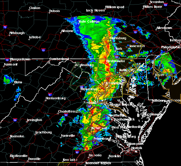 At 616 pm est, doppler radar indicated severe thunderstorms capable of producing tornadoes. these dangerous storms were located along a line extending from near fort a.p. hill to near milford, moving northeast at 75 mph. these dangerous storms will be near, port royal around 630 pm est. other locations impacted by these tornadic storms include corbin, rappahannock academy, guinea, villboro and woodford. At 616 pm est, doppler radar indicated severe thunderstorms capable of producing tornadoes. these dangerous storms were located along a line extending from near fort a.p. hill to near milford, moving northeast at 75 mph. these dangerous storms will be near, port royal around 630 pm est. other locations impacted by these tornadic storms include corbin, rappahannock academy, guinea, villboro and woodford.
|
| 2/24/2016 6:01 PM EST |
 At 601 pm est, doppler radar indicated a severe thunderstorm capable of producing a tornado. this dangerous storm was located over spotsylvania, or 10 miles south of fredericksburg, moving northeast at 60 mph. locations impacted include, bowling green, milford, ladysmith, oliver, cedar fork, chilesburg, woodford, golansville, penola, cedon, coatesville, hewlett, guinea, noel, nancy wrights corner, ruther glen and villboro. At 601 pm est, doppler radar indicated a severe thunderstorm capable of producing a tornado. this dangerous storm was located over spotsylvania, or 10 miles south of fredericksburg, moving northeast at 60 mph. locations impacted include, bowling green, milford, ladysmith, oliver, cedar fork, chilesburg, woodford, golansville, penola, cedon, coatesville, hewlett, guinea, noel, nancy wrights corner, ruther glen and villboro.
|
| 2/24/2016 5:58 PM EST |
 At 558 pm est, doppler radar indicated a line of severe thunderstorms capable of producing a tornado. these dangerous storms were located along a line extending from near ladysmith to near montpelier, and moving northeast at 75 mph. * these dangerous storms will be near, ladysmith around 610 pm est. milford around 615 pm est. bowling green and fort a.p. hill around 620 pm est. port royal around 625 pm est. other locations impacted by these tornadic storms include oliver, cedar fork, beaverdam, doswell, rappahannock academy, chilesburg, woodford, golansville, burruss corner and corbin. At 558 pm est, doppler radar indicated a line of severe thunderstorms capable of producing a tornado. these dangerous storms were located along a line extending from near ladysmith to near montpelier, and moving northeast at 75 mph. * these dangerous storms will be near, ladysmith around 610 pm est. milford around 615 pm est. bowling green and fort a.p. hill around 620 pm est. port royal around 625 pm est. other locations impacted by these tornadic storms include oliver, cedar fork, beaverdam, doswell, rappahannock academy, chilesburg, woodford, golansville, burruss corner and corbin.
|
| 2/24/2016 5:55 PM EST |
 At 555 pm est, doppler radar indicated a severe thunderstorm capable of producing a tornado. this dangerous storm was located 7 miles south of spotsylvania, or 14 miles west of milford, moving northeast at 60 mph. this tornadic thunderstorm will remain over mainly rural areas of northwestern hanover, east central louisa and northwestern caroline counties, including the following locations: oliver, cedar fork, beaverdam, chilesburg, woodford, golansville, penola, cedon, coatesville and hewlett. At 555 pm est, doppler radar indicated a severe thunderstorm capable of producing a tornado. this dangerous storm was located 7 miles south of spotsylvania, or 14 miles west of milford, moving northeast at 60 mph. this tornadic thunderstorm will remain over mainly rural areas of northwestern hanover, east central louisa and northwestern caroline counties, including the following locations: oliver, cedar fork, beaverdam, chilesburg, woodford, golansville, penola, cedon, coatesville and hewlett.
|
| 2/24/2016 5:39 PM EST |
 At 538 pm est, doppler radar indicated a tornado. this dangerous storm was located near bumpass, or 9 miles southeast of mineral, and moving northeast at 55 mph. * this dangerous storm will be near, bumpass around 545 pm est. ladysmith around 555 pm est. other locations impacted by this tornadic thunderstorm include oliver, cedar fork, beaverdam, chilesburg, woodford, golansville, fredericks hall, apple grove, maidens and penola. At 538 pm est, doppler radar indicated a tornado. this dangerous storm was located near bumpass, or 9 miles southeast of mineral, and moving northeast at 55 mph. * this dangerous storm will be near, bumpass around 545 pm est. ladysmith around 555 pm est. other locations impacted by this tornadic thunderstorm include oliver, cedar fork, beaverdam, chilesburg, woodford, golansville, fredericks hall, apple grove, maidens and penola.
|
| 6/27/2015 3:40 PM EDT |
 At 339 pm edt, doppler radar indicated a tornado. this dangerous storm was located near ladysmith, or 8 miles southwest of milford, and moving northeast at 35 mph. * this dangerous storm will be near, milford around 355 pm edt. bowling green around 400 pm edt. fort a.p. hill around 405 pm edt. other locations impacted by this tornadic thunderstorm include golansville, penola, cedar fork, guinea, villboro and woodford. At 339 pm edt, doppler radar indicated a tornado. this dangerous storm was located near ladysmith, or 8 miles southwest of milford, and moving northeast at 35 mph. * this dangerous storm will be near, milford around 355 pm edt. bowling green around 400 pm edt. fort a.p. hill around 405 pm edt. other locations impacted by this tornadic thunderstorm include golansville, penola, cedar fork, guinea, villboro and woodford.
|
| 6/20/2015 8:45 PM EDT |
 At 844 pm edt, doppler radar indicated a line of severe thunderstorms capable of producing damaging winds in excess of 60 mph. these storms were located along a line extending from 8 miles northwest of stafford to near fort a.p. hill to near bottoms bridge, moving northeast at 50 mph. these severe storms will be near, port royal around 850 pm edt. other locations impacted by these severe thunderstorms include supply, upshaw, cedar fork, elevon, pollards corner, duane fork, rumford, hustle, turpin and orapax farms. At 844 pm edt, doppler radar indicated a line of severe thunderstorms capable of producing damaging winds in excess of 60 mph. these storms were located along a line extending from 8 miles northwest of stafford to near fort a.p. hill to near bottoms bridge, moving northeast at 50 mph. these severe storms will be near, port royal around 850 pm edt. other locations impacted by these severe thunderstorms include supply, upshaw, cedar fork, elevon, pollards corner, duane fork, rumford, hustle, turpin and orapax farms.
|
| 6/20/2015 8:30 PM EDT | Trees down across 301n in caroline county VA, 0.5 miles NNE of Bowling Green, VA |
| 6/20/2015 8:24 PM EDT |
 At 823 pm edt, doppler radar indicated a line of severe thunderstorms capable of producing damaging winds in excess of 60 mph. these storms were located along a line extending from 14 miles northwest of spotsylvania to 6 miles southeast of ladysmith to near chesterfield court house, moving northeast at 50 mph. these severe storms will be near, bowling green and milford around 835 pm edt. highland springs and fort a.p. hill around 840 pm edt. bottoms bridge around 845 pm edt. talleysville, port royal and loretto around 850 pm edt. tunstall around 855 pm edt. other locations impacted by these severe thunderstorms include supply, chesterfield, elevon, hustle, turpin, orapax farms, woodford, epworth, sparta and burruss corner. At 823 pm edt, doppler radar indicated a line of severe thunderstorms capable of producing damaging winds in excess of 60 mph. these storms were located along a line extending from 14 miles northwest of spotsylvania to 6 miles southeast of ladysmith to near chesterfield court house, moving northeast at 50 mph. these severe storms will be near, bowling green and milford around 835 pm edt. highland springs and fort a.p. hill around 840 pm edt. bottoms bridge around 845 pm edt. talleysville, port royal and loretto around 850 pm edt. tunstall around 855 pm edt. other locations impacted by these severe thunderstorms include supply, chesterfield, elevon, hustle, turpin, orapax farms, woodford, epworth, sparta and burruss corner.
|
| 6/20/2015 8:13 PM EDT |
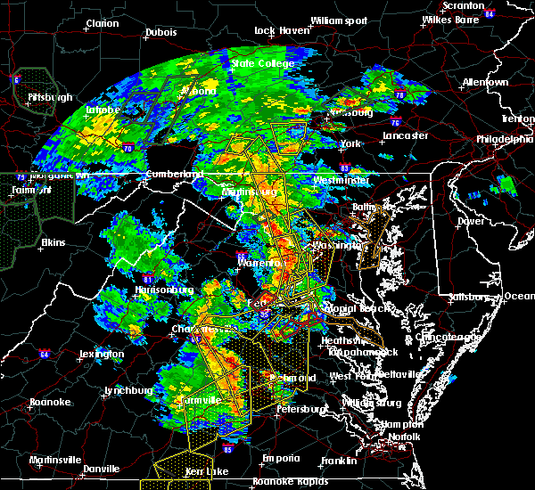 At 813 pm edt, doppler radar indicated a tornado. this dangerous storm was located near fort a.p. hill, or near bowling green, and moving northeast at 35 mph. * this dangerous storm will be near, port royal around 830 pm edt. colonial beach around 850 pm edt. other locations impacted by this tornadic thunderstorm include potomac beach, oak grove and rollins fork. At 813 pm edt, doppler radar indicated a tornado. this dangerous storm was located near fort a.p. hill, or near bowling green, and moving northeast at 35 mph. * this dangerous storm will be near, port royal around 830 pm edt. colonial beach around 850 pm edt. other locations impacted by this tornadic thunderstorm include potomac beach, oak grove and rollins fork.
|
| 6/20/2015 8:09 PM EDT |
 At 808 pm edt, doppler radar indicated a line of severe thunderstorms capable of producing damaging winds in excess of 60 mph. these storms were located along a line extending from 8 miles east of orange to near montpelier to 7 miles northwest of sutherland, and moving northeast at 50 mph. * severe thunderstorms will be near, ashland around 815 pm edt. kings dominion around 820 pm edt. chester and ladysmith around 825 pm edt. milford, bellwood and bensley around 830 pm edt. bowling green around 835 pm edt. highland springs and fort a.p. hill around 840 pm edt. bottoms bridge around 845 pm edt. talleysville, port royal, tunstall and loretto around 850 pm edt. other locations impacted by these severe thunderstorms include supply, elevon, hustle, orapax farms, epworth, sparta, maidens, burruss corner, irwin and roslyn hills. At 808 pm edt, doppler radar indicated a line of severe thunderstorms capable of producing damaging winds in excess of 60 mph. these storms were located along a line extending from 8 miles east of orange to near montpelier to 7 miles northwest of sutherland, and moving northeast at 50 mph. * severe thunderstorms will be near, ashland around 815 pm edt. kings dominion around 820 pm edt. chester and ladysmith around 825 pm edt. milford, bellwood and bensley around 830 pm edt. bowling green around 835 pm edt. highland springs and fort a.p. hill around 840 pm edt. bottoms bridge around 845 pm edt. talleysville, port royal, tunstall and loretto around 850 pm edt. other locations impacted by these severe thunderstorms include supply, elevon, hustle, orapax farms, epworth, sparta, maidens, burruss corner, irwin and roslyn hills.
|
| 6/20/2015 8:04 PM EDT |
 At 804 pm edt, doppler radar indicated a severe thunderstorm capable of producing quarter size hail and destructive winds in excess of 70 mph. this storm was located over bowling green, moving northeast at 30 mph. this severe storm will be near, fort a.p. hill around 815 pm edt. port royal around 825 pm edt. other locations impacted by this severe thunderstorm include villboro, woodford and rappahannock academy. At 804 pm edt, doppler radar indicated a severe thunderstorm capable of producing quarter size hail and destructive winds in excess of 70 mph. this storm was located over bowling green, moving northeast at 30 mph. this severe storm will be near, fort a.p. hill around 815 pm edt. port royal around 825 pm edt. other locations impacted by this severe thunderstorm include villboro, woodford and rappahannock academy.
|
| 6/20/2015 7:48 PM EDT |
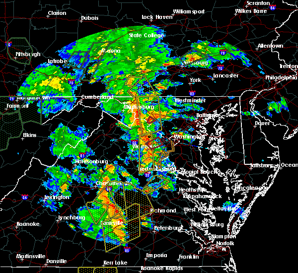 At 748 pm edt, doppler radar indicated a severe thunderstorm capable of producing quarter size hail and destructive winds in excess of 70 mph. this storm was located over ladysmith, or near milford, and moving northeast at 25 mph. * this severe thunderstorm will be near, milford around 800 pm edt. bowling green around 810 pm edt. fort a.p. hill around 820 pm edt. port royal around 835 pm edt. other locations impacted by this severe thunderstorm include corbin, cedon, rappahannock academy, guinea, villboro and woodford. At 748 pm edt, doppler radar indicated a severe thunderstorm capable of producing quarter size hail and destructive winds in excess of 70 mph. this storm was located over ladysmith, or near milford, and moving northeast at 25 mph. * this severe thunderstorm will be near, milford around 800 pm edt. bowling green around 810 pm edt. fort a.p. hill around 820 pm edt. port royal around 835 pm edt. other locations impacted by this severe thunderstorm include corbin, cedon, rappahannock academy, guinea, villboro and woodford.
|
| 6/19/2014 4:45 PM EDT | Numerous trees downed in bowling green along west broaddus ave and a mile to the west. trees also downed onto homes with significant roof damag in caroline county VA, 0.5 miles NNE of Bowling Green, VA |
| 6/19/2014 4:45 PM EDT | Numerous trees downed along new baltimore road. one tree fell on a home...one on a shed and one on a garage. trees were all leaning in the same directio in caroline county VA, 2.2 miles NE of Bowling Green, VA |
| 5/22/2014 5:24 PM EDT | Trees down in caroline county VA, 8.7 miles WNW of Bowling Green, VA |
| 6/13/2013 3:15 PM EDT | Numerous trees down across the county including along rt2... rt301... rt1 and several secondary road in caroline county VA, 5 miles SSE of Bowling Green, VA |
| 4/19/2013 6:46 PM EDT | Trees down across northwestern caroline county along paige rd...anderson rd and donn blv in caroline county VA, 3.5 miles E of Bowling Green, VA |
| 6/29/2012 10:50 PM EDT | Several large trees down along penola rd in caroline county VA, 5.4 miles NNE of Bowling Green, VA |
| 6/22/2012 4:30 PM EDT | Trees down along rte 301 in caroline county VA, 5.8 miles NNE of Bowling Green, VA |
| 1/1/0001 12:00 AM | Reports of lots of trees down and power outages in the bowling green and port royal area in caroline county VA, 0.5 miles NNE of Bowling Green, VA |
| 1/1/0001 12:00 AM | Large tree limbs down. winds estimated 50 mp in caroline county VA, 4.1 miles E of Bowling Green, VA |
| 1/1/0001 12:00 AM | Tree down on fredricksburg tp in caroline county VA, 1.7 miles S of Bowling Green, VA |
| 1/1/0001 12:00 AM | Tree down on sparta r in caroline county VA, 5.3 miles N of Bowling Green, VA |
Hail Maps for Bowling Green, VA


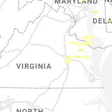


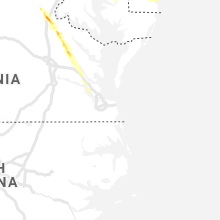


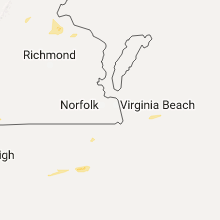


Connect with Interactive Hail Maps