

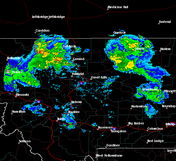
Hail Map for Browning, MT
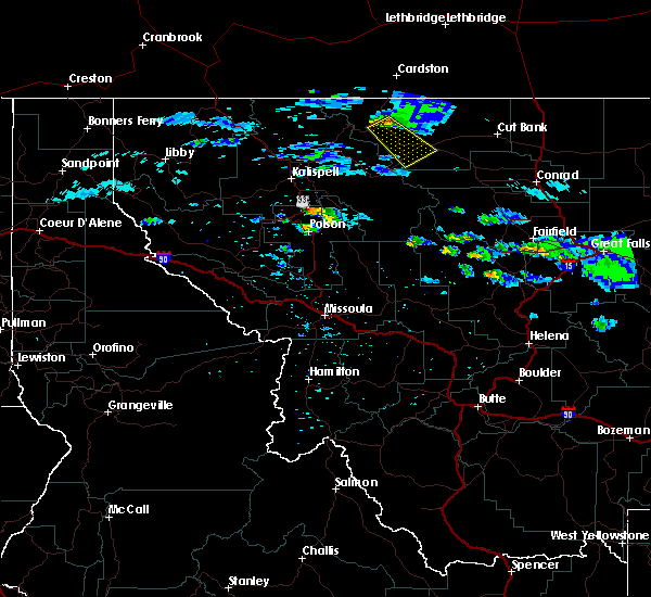
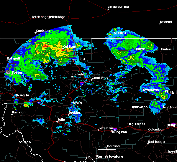
The Browning, MT area has had 10 reports of on-the-ground hail by trained spotters, and has been under severe weather warnings 0 times during the past 12 months. Doppler radar has detected hail at or near Browning, MT on 6 occasions.
| Name: | Browning, MT |
| Where Located: | 61.5 miles E of Whitefish, MT |
| Map: | Google Map for Browning, MT |
| Population: | 1016 |
| Housing Units: | 394 |
| More Info: | Search Google for Browning, MT |
0
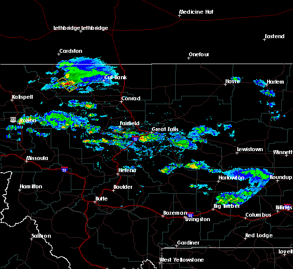
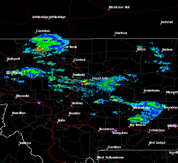
The Top Recent Hail Date for Browning, MT is Wednesday, July 6, 2022 (4th out of 6)

Hail and Wind Damage Spotted near Browning, MT
| Date / Time | Report Details |
|---|---|
| 7/18/2022 2:47 AM MDT |
 At 247 am mdt, a severe thunderstorm was located 10 miles northeast of north browning, or 21 miles west of cut bank, moving northeast at 45 mph (radar indicated). Hazards include 70 mph wind gusts and ping pong ball size hail. People and animals outdoors will be injured. expect hail damage to roofs, siding, windows, and vehicles. expect considerable tree damage. wind damage is also likely to mobile homes, roofs, and outbuildings. locations impacted include, cut bank, browning, north browning and south browning. thunderstorm damage threat, considerable hail threat, radar indicated max hail size, 1. 50 in wind threat, radar indicated max wind gust, 70 mph. At 247 am mdt, a severe thunderstorm was located 10 miles northeast of north browning, or 21 miles west of cut bank, moving northeast at 45 mph (radar indicated). Hazards include 70 mph wind gusts and ping pong ball size hail. People and animals outdoors will be injured. expect hail damage to roofs, siding, windows, and vehicles. expect considerable tree damage. wind damage is also likely to mobile homes, roofs, and outbuildings. locations impacted include, cut bank, browning, north browning and south browning. thunderstorm damage threat, considerable hail threat, radar indicated max hail size, 1. 50 in wind threat, radar indicated max wind gust, 70 mph.
|
| 7/18/2022 2:40 AM MDT |
 At 239 am mdt, a severe thunderstorm was located near north browning, or 26 miles west of cut bank, moving northeast at 45 mph (radar indicated). Hazards include ping pong ball size hail and 60 mph wind gusts. People and animals outdoors will be injured. expect hail damage to roofs, siding, windows, and vehicles. expect wind damage to roofs, siding, and trees. locations impacted include, cut bank, browning, south browning, north browning and starr school. hail threat, radar indicated max hail size, 1. 50 in wind threat, radar indicated max wind gust, 60 mph. At 239 am mdt, a severe thunderstorm was located near north browning, or 26 miles west of cut bank, moving northeast at 45 mph (radar indicated). Hazards include ping pong ball size hail and 60 mph wind gusts. People and animals outdoors will be injured. expect hail damage to roofs, siding, windows, and vehicles. expect wind damage to roofs, siding, and trees. locations impacted include, cut bank, browning, south browning, north browning and starr school. hail threat, radar indicated max hail size, 1. 50 in wind threat, radar indicated max wind gust, 60 mph.
|
| 7/18/2022 2:36 AM MDT | Reports of broken windows in the town of browning per social medi in glacier county MT, 0.3 miles SW of Browning, MT |
| 7/18/2022 2:36 AM MDT | Ping Pong Ball sized hail reported 0.3 miles SW of Browning, MT, report relayed via social media. multiple reports of broken windows in the city of browning. |
| 7/18/2022 2:31 AM MDT |
 At 231 am mdt, a severe thunderstorm was located over south browning, or 33 miles west of cut bank, moving northeast at 45 mph (radar indicated). Hazards include ping pong ball size hail and 60 mph wind gusts. People and animals outdoors will be injured. expect hail damage to roofs, siding, windows, and vehicles. expect wind damage to roofs, siding, and trees. locations impacted include, cut bank, browning, south browning, north browning, east glacier park, east glacier park village and starr school. hail threat, radar indicated max hail size, 1. 50 in wind threat, radar indicated max wind gust, 60 mph. At 231 am mdt, a severe thunderstorm was located over south browning, or 33 miles west of cut bank, moving northeast at 45 mph (radar indicated). Hazards include ping pong ball size hail and 60 mph wind gusts. People and animals outdoors will be injured. expect hail damage to roofs, siding, windows, and vehicles. expect wind damage to roofs, siding, and trees. locations impacted include, cut bank, browning, south browning, north browning, east glacier park, east glacier park village and starr school. hail threat, radar indicated max hail size, 1. 50 in wind threat, radar indicated max wind gust, 60 mph.
|
| 7/18/2022 2:25 AM MDT |
 At 224 am mdt, a severe thunderstorm was located near east glacier park, or 39 miles west of cut bank, moving northeast at 45 mph (radar indicated). Hazards include 60 mph wind gusts and quarter size hail. Hail damage to vehicles is expected. Expect wind damage to roofs, siding, and trees. At 224 am mdt, a severe thunderstorm was located near east glacier park, or 39 miles west of cut bank, moving northeast at 45 mph (radar indicated). Hazards include 60 mph wind gusts and quarter size hail. Hail damage to vehicles is expected. Expect wind damage to roofs, siding, and trees.
|
| 6/17/2022 7:05 PM MDT | Ping Pong Ball sized hail reported 14.2 miles WNW of Browning, MT, social media report of ping pong sized hail. report relayed via facebook. location estimated. |
| 6/13/2020 6:00 PM MDT | Ping Pong Ball sized hail reported 7.5 miles SSW of Browning, MT, spotter emailed a picture. also reported 0.25 inches of rain. time estimated based on radar. |
| 6/14/2019 12:45 PM MDT | Half Dollar sized hail reported 13.7 miles WNW of Browning, MT, measured 1.25 inch hail with 0.4 inches rain. estimated wind gusts 40 to 50 mph. |
| 6/14/2019 12:45 PM MDT | Quarter sized hail reported 20.2 miles W of Browning, MT, quarter sized hail occurred at the beginning of the storm... then it decreased to pea size. |
| 7/26/2018 4:10 PM MDT |
 At 354 pm mdt, a severe thunderstorm was located near kiowa, or 42 miles west of cut bank, moving southeast at 20 mph (trained weather spotters). Hazards include 60 mph wind gusts and quarter size hail. Hail damage to vehicles is expected. expect wind damage to roofs, siding, and trees. Locations impacted include, browning, south browning, north browning and starr school. At 354 pm mdt, a severe thunderstorm was located near kiowa, or 42 miles west of cut bank, moving southeast at 20 mph (trained weather spotters). Hazards include 60 mph wind gusts and quarter size hail. Hail damage to vehicles is expected. expect wind damage to roofs, siding, and trees. Locations impacted include, browning, south browning, north browning and starr school.
|
| 7/26/2018 3:55 PM MDT |
 At 354 pm mdt, a severe thunderstorm was located near kiowa, or 42 miles west of cut bank, moving southeast at 20 mph (trained weather spotters). Hazards include 60 mph wind gusts and quarter size hail. Hail damage to vehicles is expected. expect wind damage to roofs, siding, and trees. Locations impacted include, browning, south browning, north browning and starr school. At 354 pm mdt, a severe thunderstorm was located near kiowa, or 42 miles west of cut bank, moving southeast at 20 mph (trained weather spotters). Hazards include 60 mph wind gusts and quarter size hail. Hail damage to vehicles is expected. expect wind damage to roofs, siding, and trees. Locations impacted include, browning, south browning, north browning and starr school.
|
| 7/26/2018 3:21 PM MDT |
 At 320 pm mdt, a severe thunderstorm was located 13 miles north of kiowa, or 49 miles west of cut bank, moving southeast at 20 mph (radar indicated). Hazards include 60 mph wind gusts and quarter size hail. Hail damage to vehicles is expected. Expect wind damage to roofs, siding, and trees. At 320 pm mdt, a severe thunderstorm was located 13 miles north of kiowa, or 49 miles west of cut bank, moving southeast at 20 mph (radar indicated). Hazards include 60 mph wind gusts and quarter size hail. Hail damage to vehicles is expected. Expect wind damage to roofs, siding, and trees.
|
| 6/4/2017 7:36 PM MDT |
 The severe thunderstorm warning for central glacier county will expire at 745 pm mdt, the storm which prompted the warning has weakened below severe limits, and no longer poses an immediate threat to life or property. therefore the warning will be allowed to expire. however heavy rain, dime-size hail, and frequent lightning are possible with this thunderstorm. The severe thunderstorm warning for central glacier county will expire at 745 pm mdt, the storm which prompted the warning has weakened below severe limits, and no longer poses an immediate threat to life or property. therefore the warning will be allowed to expire. however heavy rain, dime-size hail, and frequent lightning are possible with this thunderstorm.
|
| 6/4/2017 7:11 PM MDT |
 At 711 pm mdt, a severe thunderstorm was located near south browning, or 37 miles west of cut bank, moving north at 35 mph (radar indicated). Hazards include 60 mph wind gusts and half dollar size hail. Hail damage to vehicles is expected. Expect wind damage to roofs, siding, and trees. At 711 pm mdt, a severe thunderstorm was located near south browning, or 37 miles west of cut bank, moving north at 35 mph (radar indicated). Hazards include 60 mph wind gusts and half dollar size hail. Hail damage to vehicles is expected. Expect wind damage to roofs, siding, and trees.
|
| 7/18/2016 9:00 PM MDT | Quarter sized hail reported 20.2 miles W of Browning, MT, mostly pea size hail but they did find a few quarter size hail stones. |
| 6/18/2013 4:25 PM MDT | Quarter sized hail reported 7.5 miles SSW of Browning, MT, hail up to quarter size falling. |
| 6/18/2013 4:12 PM MDT | Golf Ball sized hail reported 1.2 miles NNW of Browning, MT |
| 6/18/2013 4:05 PM MDT | Golf Ball sized hail reported 0.3 miles SW of Browning, MT, golf ball size hail falling in the city of browning. |
| 6/26/2012 11:45 AM MDT | Golf Ball sized hail reported 0.3 miles SW of Browning, MT, golf ball size hail in the browning area this morning. |
Hail Maps for Browning, MT


Connect with Interactive Hail Maps