

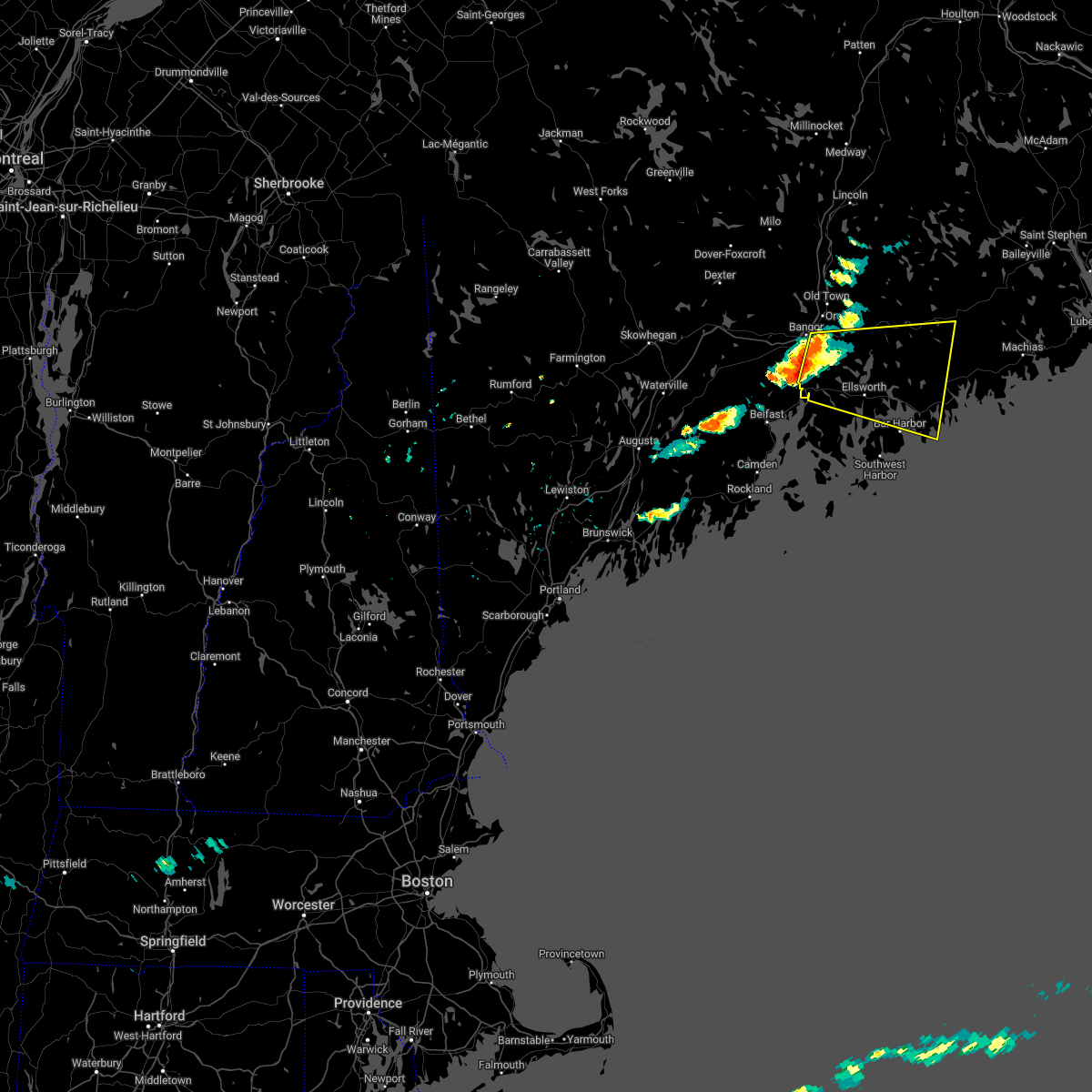
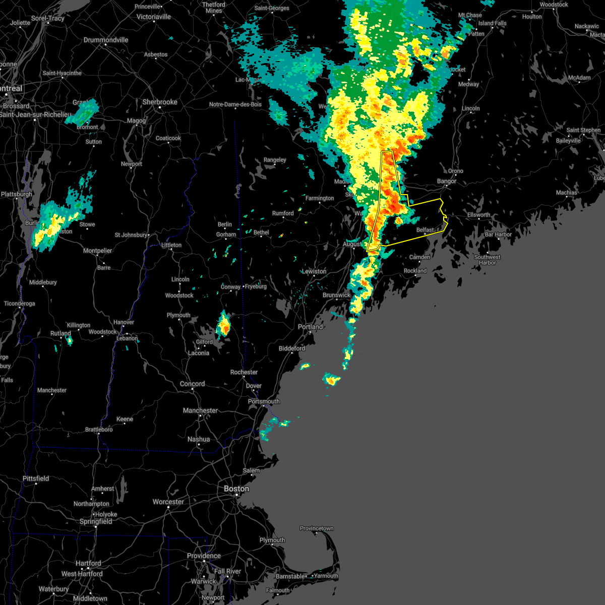
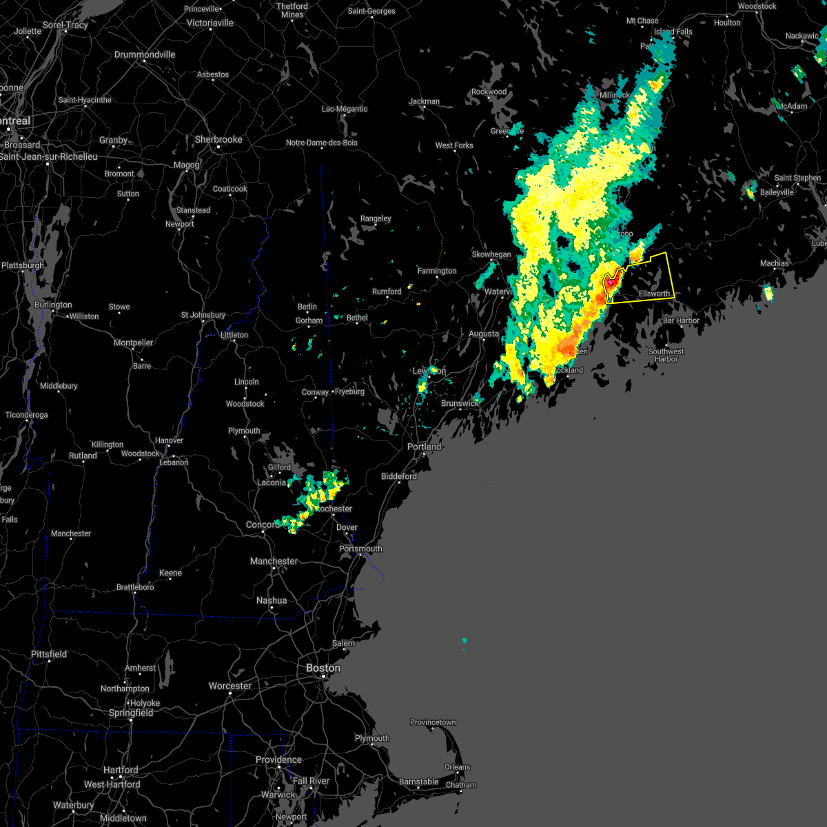
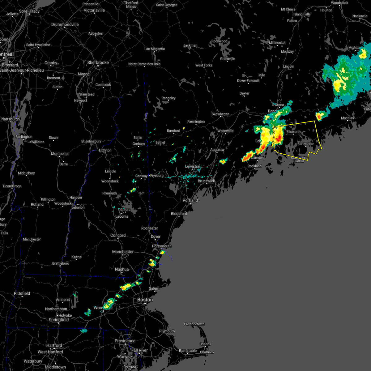
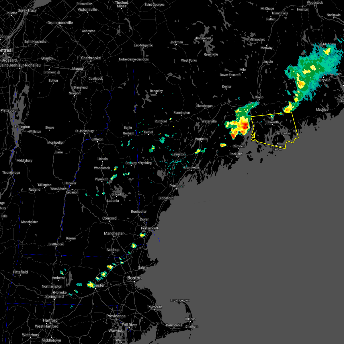
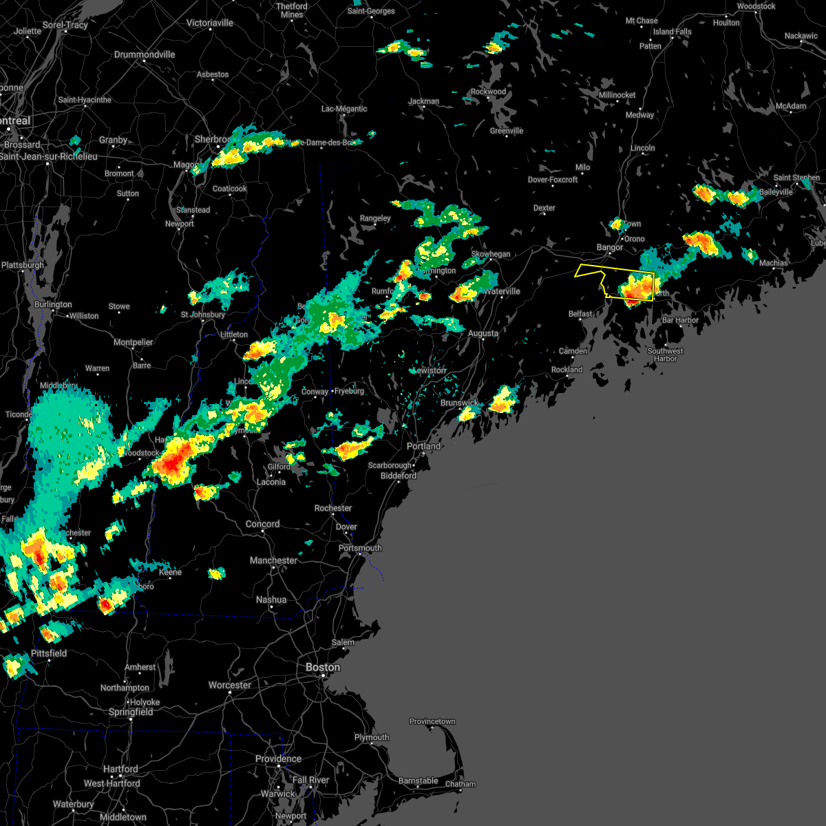
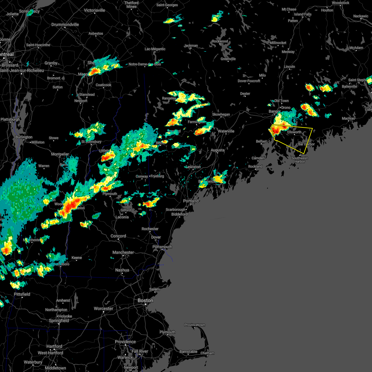
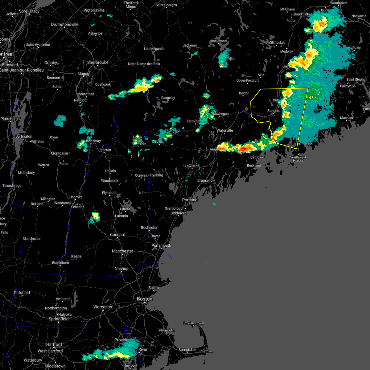
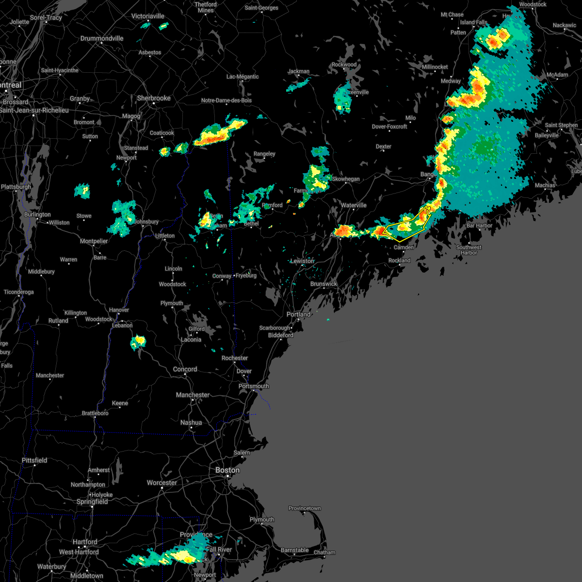
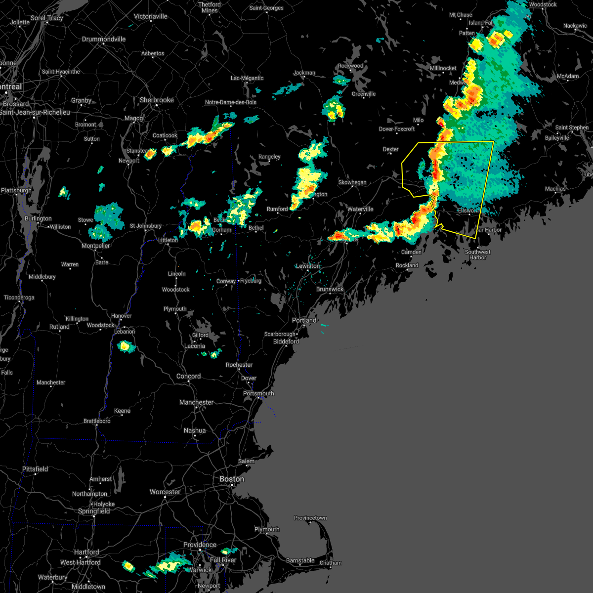
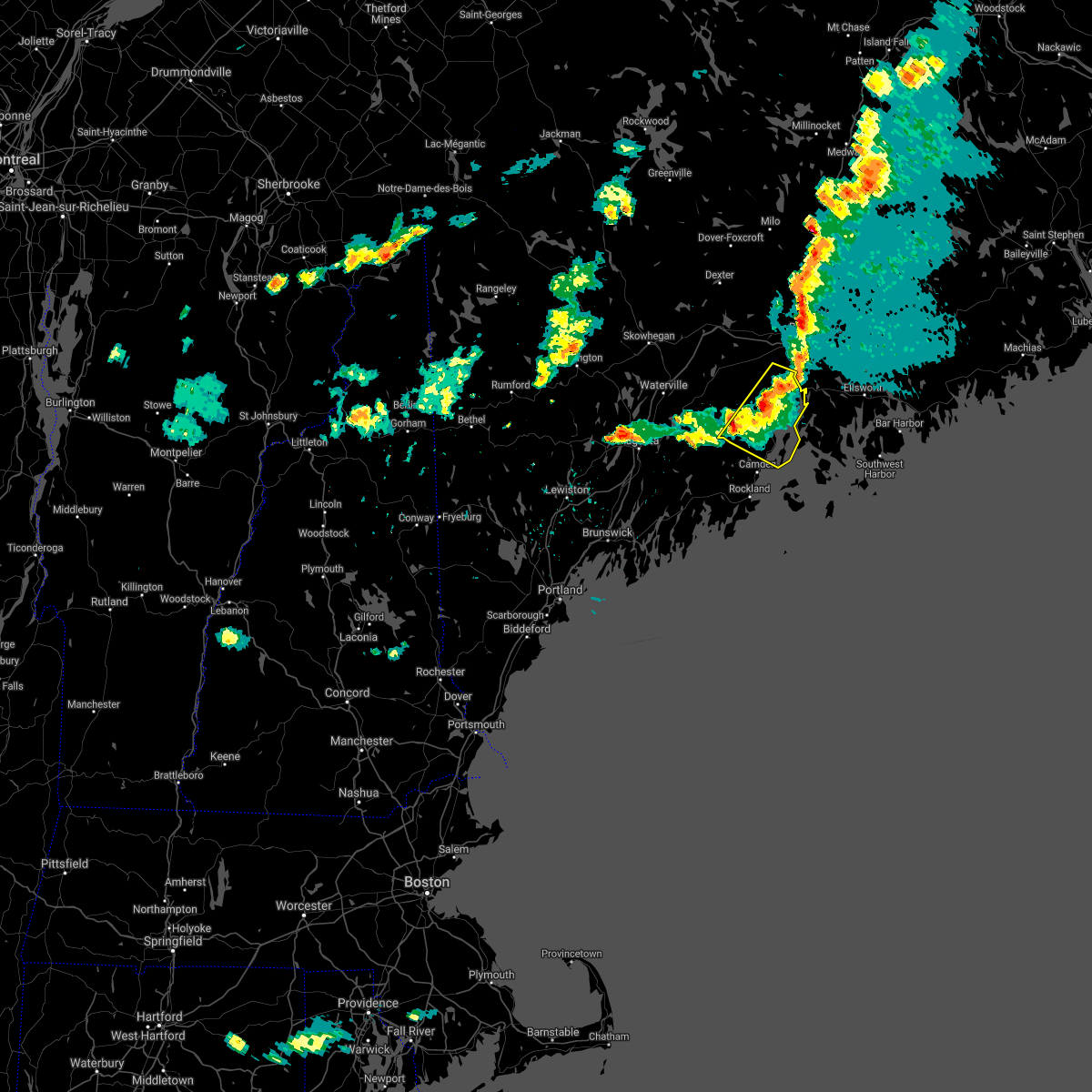
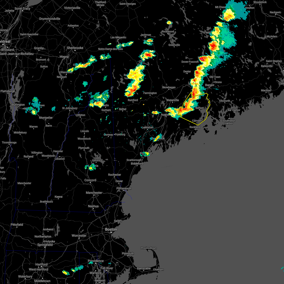
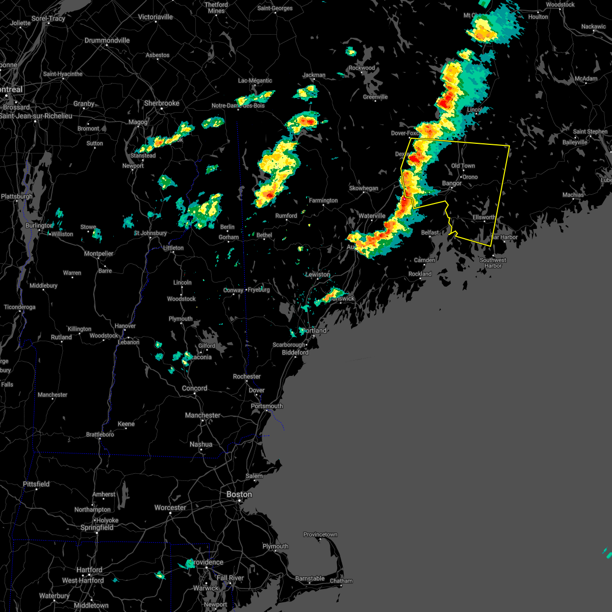
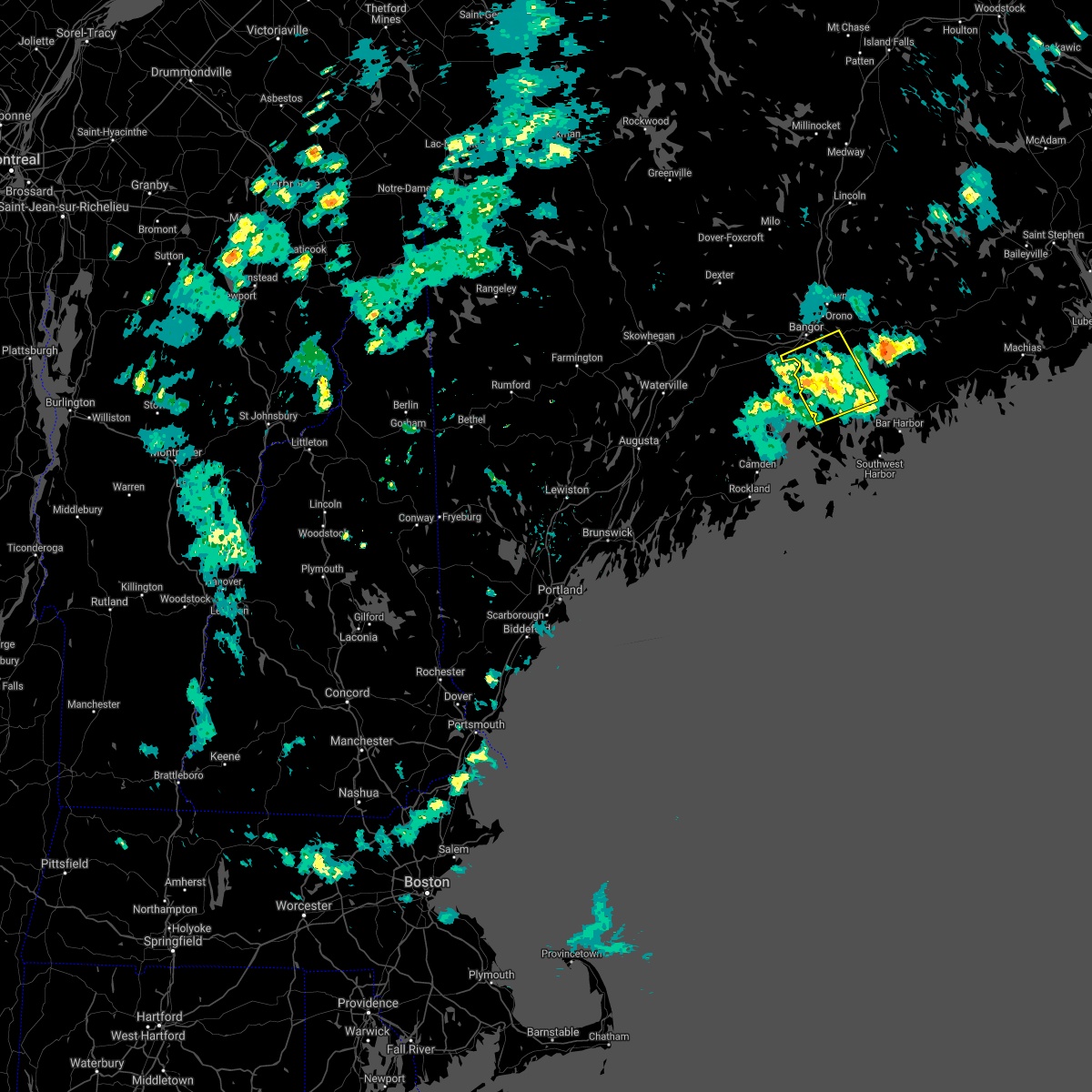
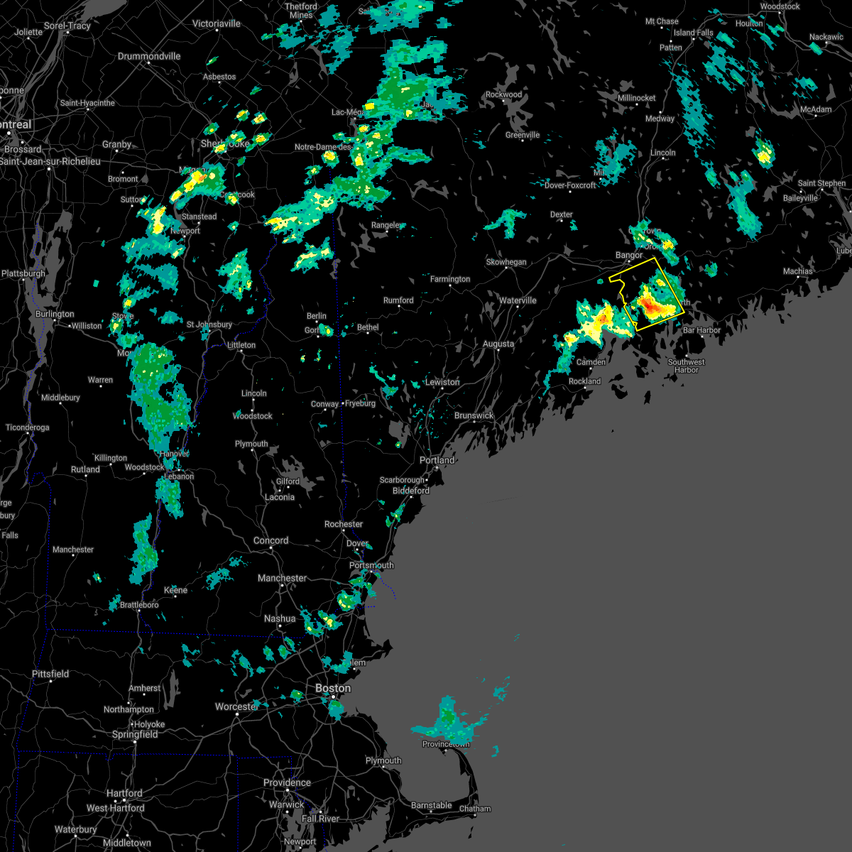
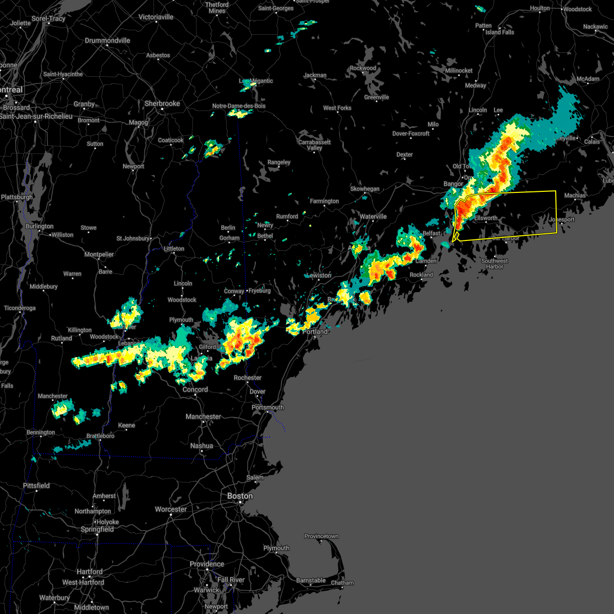
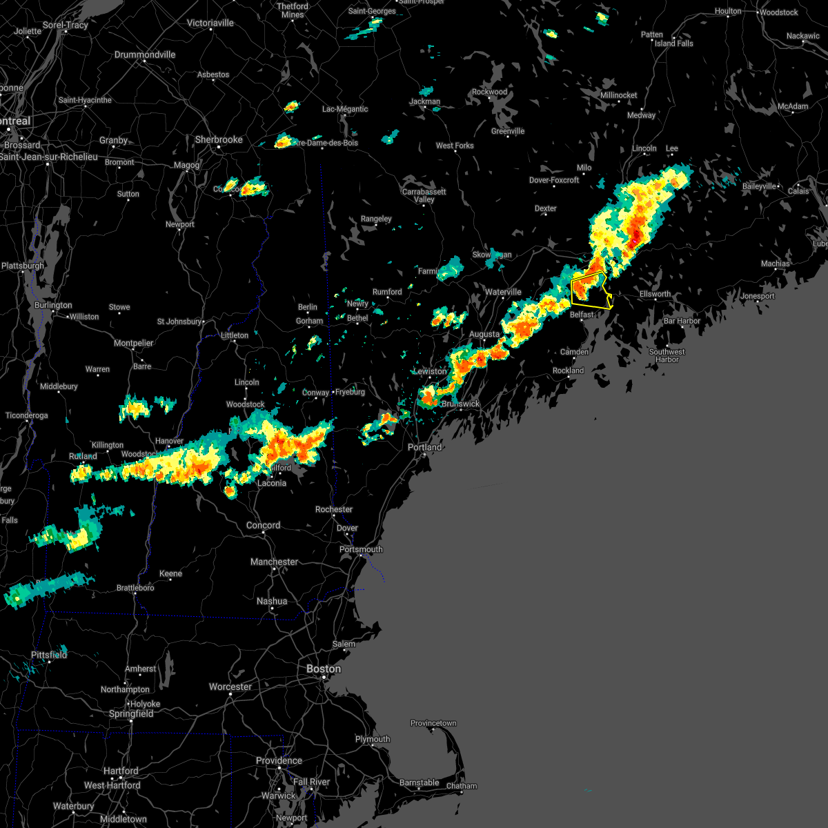
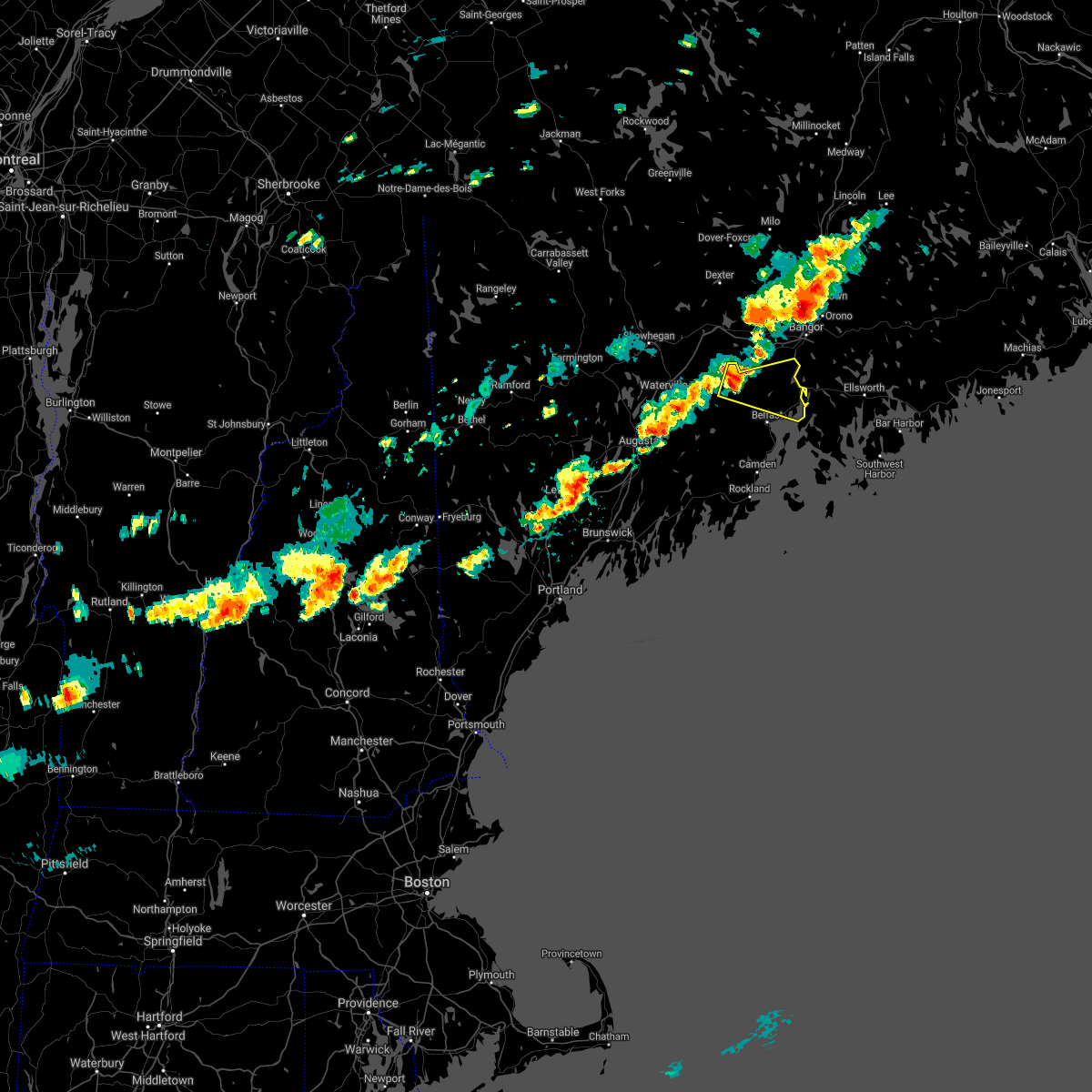
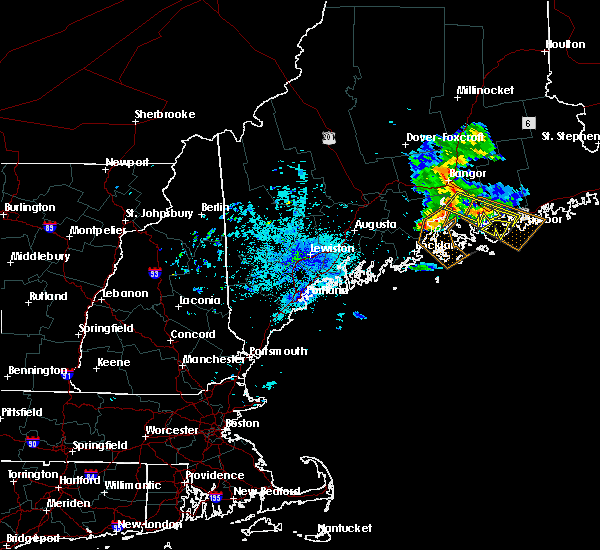
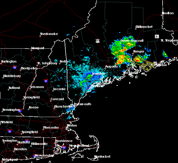
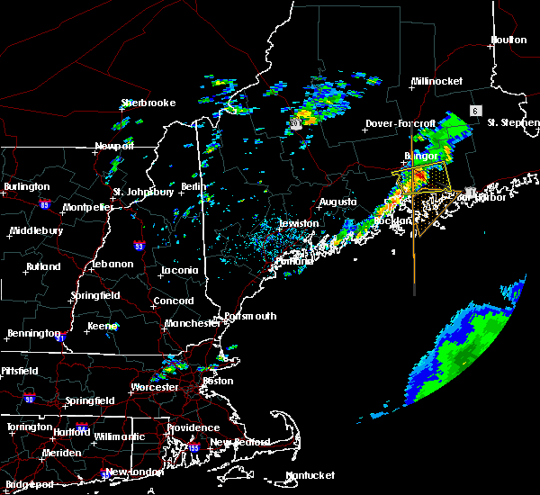
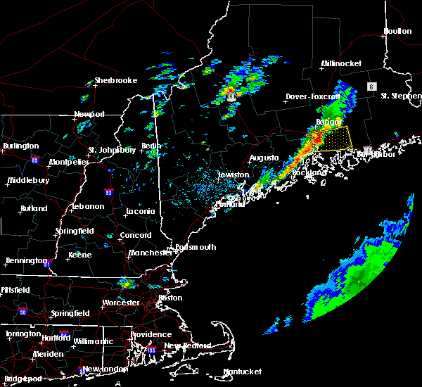
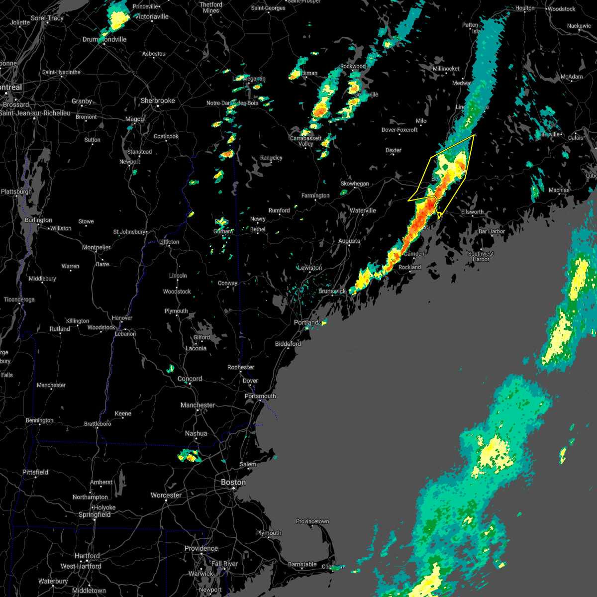
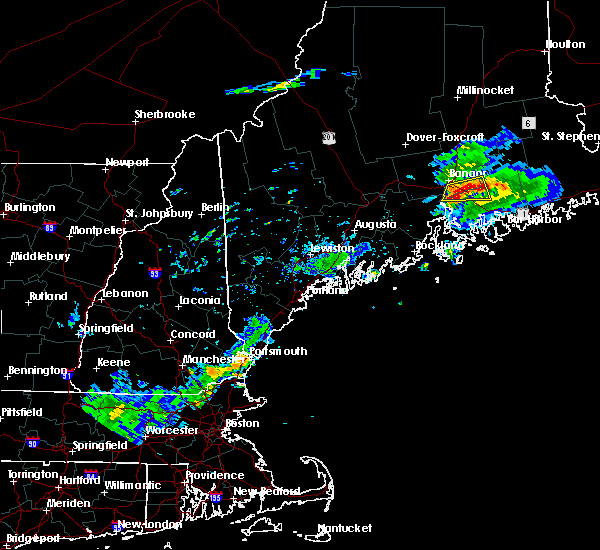
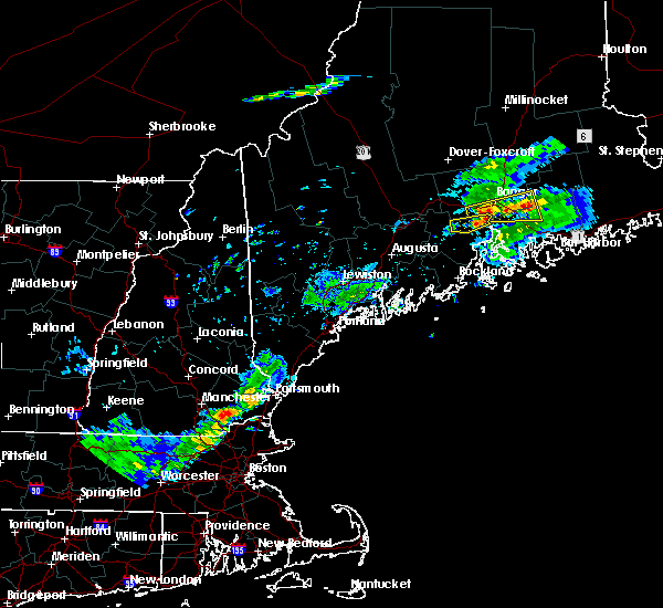
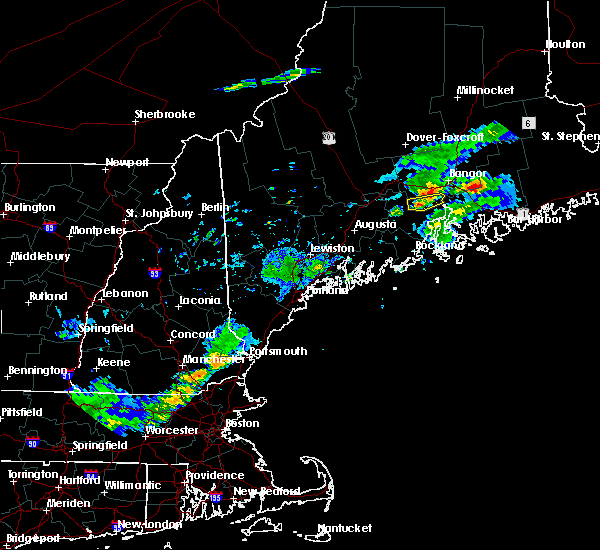
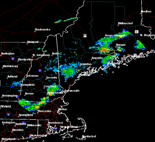
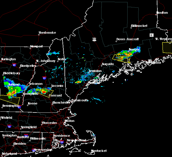
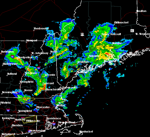
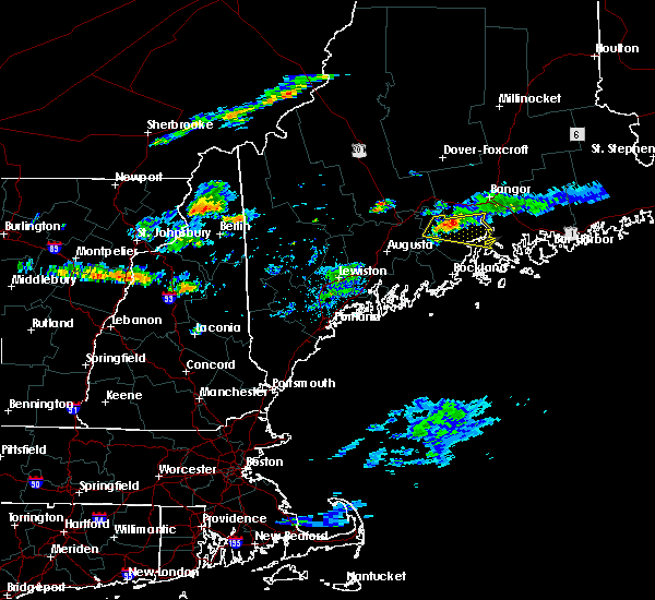
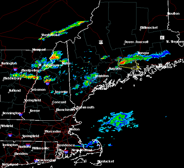
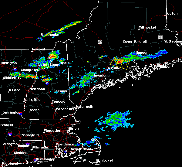
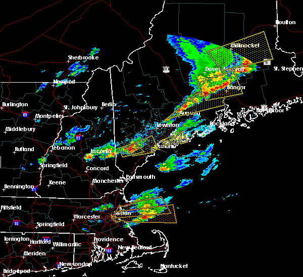
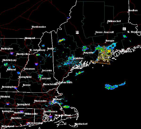
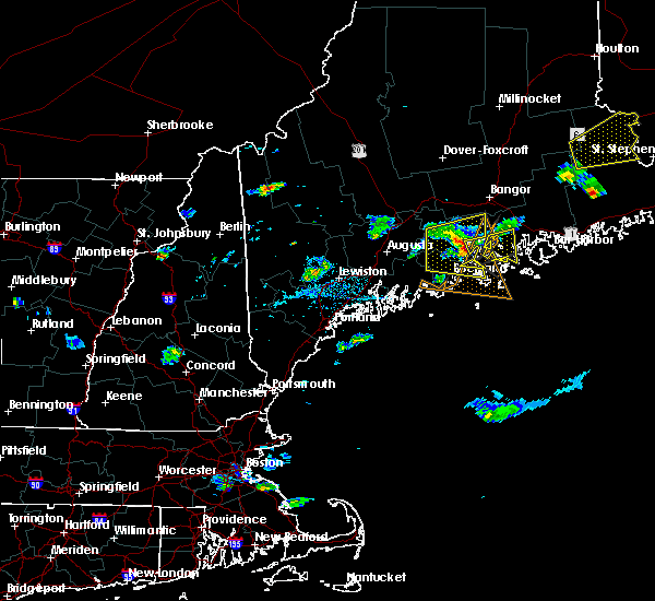
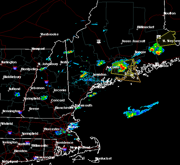
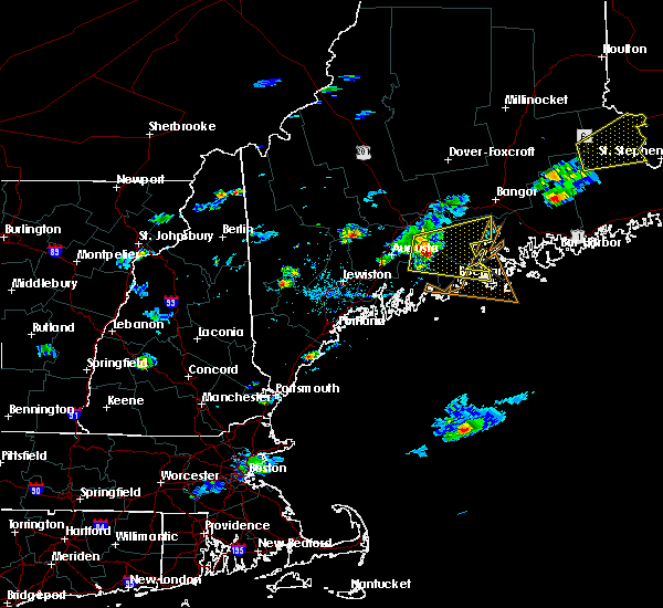
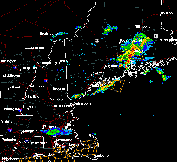
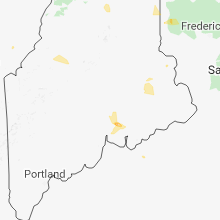
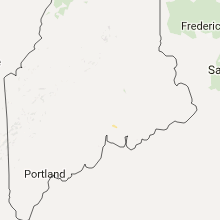
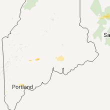
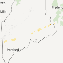
Hail Map for Bucksport, ME
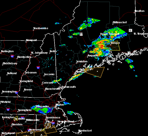
The Bucksport, ME area has had 1 report of on-the-ground hail by trained spotters, and has been under severe weather warnings 0 times during the past 12 months. Doppler radar has detected hail at or near Bucksport, ME on 8 occasions.
| Name: | Bucksport, ME |
| Where Located: | 13.4 miles S of Bangor, ME |
| Map: | Google Map for Bucksport, ME |
| Population: | 2885 |
| Housing Units: | 1495 |
| More Info: | Search Google for Bucksport, ME |
5
The Top Recent Hail Date for Bucksport, ME is Wednesday, June 30, 2021 (1st out of 8)

Hail and Wind Damage Spotted near Bucksport, ME
| Date / Time | Report Details |
|---|---|
| 7/2/2022 3:41 PM EDT |
 At 341 pm edt, a severe thunderstorm was located over bucksport, moving east at 45 mph (radar indicated). Hazards include 60 mph wind gusts and quarter size hail. Minor hail damage to vehicles is possible. Expect wind damage to trees and power lines. At 341 pm edt, a severe thunderstorm was located over bucksport, moving east at 45 mph (radar indicated). Hazards include 60 mph wind gusts and quarter size hail. Minor hail damage to vehicles is possible. Expect wind damage to trees and power lines.
|
| 5/22/2022 7:33 PM EDT |
 At 732 pm edt, a line of severe thunderstorms was located near china to monroe, moving east at 35 mph (radar indicated). Hazards include 60 mph wind gusts and quarter size hail. Hail damage to vehicles is expected. expect wind damage to roofs, siding, and trees. locations impacted include, waterville, fairfield, thorndike, searsport, clinton, winterport, unity, prospect, knox, benton, albion, burnham, frankfort, brooks, freedom, jackson, monroe, troy, winslow and swanville. This includes interstate 95 between mile markers 131 and 141. At 732 pm edt, a line of severe thunderstorms was located near china to monroe, moving east at 35 mph (radar indicated). Hazards include 60 mph wind gusts and quarter size hail. Hail damage to vehicles is expected. expect wind damage to roofs, siding, and trees. locations impacted include, waterville, fairfield, thorndike, searsport, clinton, winterport, unity, prospect, knox, benton, albion, burnham, frankfort, brooks, freedom, jackson, monroe, troy, winslow and swanville. This includes interstate 95 between mile markers 131 and 141.
|
| 5/22/2022 6:55 PM EDT |
 At 654 pm edt, a severe thunderstorm was located over unity, or near thorndike, moving east at 35 mph (radar indicated). Hazards include 60 mph wind gusts and quarter size hail. Hail damage to vehicles is expected. Expect wind damage to roofs, siding, and trees. At 654 pm edt, a severe thunderstorm was located over unity, or near thorndike, moving east at 35 mph (radar indicated). Hazards include 60 mph wind gusts and quarter size hail. Hail damage to vehicles is expected. Expect wind damage to roofs, siding, and trees.
|
| 5/22/2022 6:05 PM EDT |
 The severe thunderstorm warning for northeastern waldo county will expire at 615 pm edt, the storm which prompted the warning has weakened below severe limits, and no longer poses an immediate threat to life or property. therefore, the warning will be allowed to expire. however heavy rain is still possible with this thunderstorm. The severe thunderstorm warning for northeastern waldo county will expire at 615 pm edt, the storm which prompted the warning has weakened below severe limits, and no longer poses an immediate threat to life or property. therefore, the warning will be allowed to expire. however heavy rain is still possible with this thunderstorm.
|
| 5/22/2022 5:59 PM EDT |
 At 559 pm edt, a severe thunderstorm was located near thorndike, moving east at 40 mph (radar indicated). Hazards include 60 mph wind gusts and quarter size hail. Hail damage to vehicles is expected. expect wind damage to roofs, siding, and trees. locations impacted include, thorndike, winterport, unity, prospect, knox, frankfort, brooks, jackson, monroe, troy and swanville. hail threat, radar indicated max hail size, 1. 00 in wind threat, radar indicated max wind gust, 60 mph. At 559 pm edt, a severe thunderstorm was located near thorndike, moving east at 40 mph (radar indicated). Hazards include 60 mph wind gusts and quarter size hail. Hail damage to vehicles is expected. expect wind damage to roofs, siding, and trees. locations impacted include, thorndike, winterport, unity, prospect, knox, frankfort, brooks, jackson, monroe, troy and swanville. hail threat, radar indicated max hail size, 1. 00 in wind threat, radar indicated max wind gust, 60 mph.
|
| 5/22/2022 5:38 PM EDT |
 At 537 pm edt, a severe thunderstorm was located near clinton, or near fairfield, moving east at 40 mph (radar indicated). Hazards include 60 mph wind gusts and quarter size hail. Hail damage to vehicles is expected. Expect wind damage to roofs, siding, and trees. At 537 pm edt, a severe thunderstorm was located near clinton, or near fairfield, moving east at 40 mph (radar indicated). Hazards include 60 mph wind gusts and quarter size hail. Hail damage to vehicles is expected. Expect wind damage to roofs, siding, and trees.
|
| 9/6/2021 5:31 PM EDT |
 At 530 pm edt, severe thunderstorms were located along a line extending from 24 miles northeast of pittsfield to near winterport to 7 miles east of thorndike to 6 miles east of liberty, moving east at 55 mph (radar indicated). Hazards include 60 mph wind gusts and quarter size hail. Hail damage to vehicles is expected. expect wind damage to roofs, siding, and trees. locations impacted include, belfast, searsport, thorndike, liberty, winterport, stockton springs, prospect, unity, palermo, knox, frankfort, brooks, freedom, jackson, morrill, monroe, montville, waldo, swanville and searsmont. hail threat, radar indicated max hail size, 1. 00 in wind threat, radar indicated max wind gust, 60 mph. At 530 pm edt, severe thunderstorms were located along a line extending from 24 miles northeast of pittsfield to near winterport to 7 miles east of thorndike to 6 miles east of liberty, moving east at 55 mph (radar indicated). Hazards include 60 mph wind gusts and quarter size hail. Hail damage to vehicles is expected. expect wind damage to roofs, siding, and trees. locations impacted include, belfast, searsport, thorndike, liberty, winterport, stockton springs, prospect, unity, palermo, knox, frankfort, brooks, freedom, jackson, morrill, monroe, montville, waldo, swanville and searsmont. hail threat, radar indicated max hail size, 1. 00 in wind threat, radar indicated max wind gust, 60 mph.
|
| 9/6/2021 5:08 PM EDT |
 At 508 pm edt, severe thunderstorms were located along a line extending from 12 miles north of pittsfield to thorndike to china to 6 miles southwest of palermo, moving east at 45 mph (radar indicated). Hazards include 60 mph wind gusts and nickel size hail. expect damage to roofs, siding, and trees At 508 pm edt, severe thunderstorms were located along a line extending from 12 miles north of pittsfield to thorndike to china to 6 miles southwest of palermo, moving east at 45 mph (radar indicated). Hazards include 60 mph wind gusts and nickel size hail. expect damage to roofs, siding, and trees
|
| 8/14/2021 3:12 PM EDT | Law enforcement from bucksport reported several trees down on turkey path road. a shed was destroyed by a lightning strik in hancock county ME, 3.3 miles NW of Bucksport, ME |
| 8/14/2021 3:07 PM EDT |
 At 307 pm edt, a severe thunderstorm was located near bucksport, moving east at 20 mph (radar indicated). Hazards include 60 mph wind gusts and quarter size hail. Minor hail damage to vehicles is possible. Expect wind damage to trees and power lines. At 307 pm edt, a severe thunderstorm was located near bucksport, moving east at 20 mph (radar indicated). Hazards include 60 mph wind gusts and quarter size hail. Minor hail damage to vehicles is possible. Expect wind damage to trees and power lines.
|
| 7/16/2021 2:40 PM EDT |
 At 240 pm edt, a severe thunderstorm was located near penobscot township, or near blue hill, moving east at 50 mph (radar indicated). Hazards include 60 mph wind gusts and quarter size hail. Minor hail damage to vehicles is possible. expect wind damage to trees and power lines. Locations impacted include, ellsworth, bar harbor, bucksport, blue hill, dedham, castine, steuben, verona island, penobscot township, hancock, franklin, orland, gouldsboro, lamoine, tremont, trenton, surry, penobscot, sullivan and sedgwick. At 240 pm edt, a severe thunderstorm was located near penobscot township, or near blue hill, moving east at 50 mph (radar indicated). Hazards include 60 mph wind gusts and quarter size hail. Minor hail damage to vehicles is possible. expect wind damage to trees and power lines. Locations impacted include, ellsworth, bar harbor, bucksport, blue hill, dedham, castine, steuben, verona island, penobscot township, hancock, franklin, orland, gouldsboro, lamoine, tremont, trenton, surry, penobscot, sullivan and sedgwick.
|
| 7/16/2021 2:23 PM EDT |
 At 223 pm edt, a severe thunderstorm was located near searsport, moving east at 50 mph (radar indicated). Hazards include 60 mph wind gusts and quarter size hail. Minor hail damage to vehicles is possible. Expect wind damage to trees and power lines. At 223 pm edt, a severe thunderstorm was located near searsport, moving east at 50 mph (radar indicated). Hazards include 60 mph wind gusts and quarter size hail. Minor hail damage to vehicles is possible. Expect wind damage to trees and power lines.
|
| 6/30/2021 3:21 PM EDT |
 The severe thunderstorm warning for west central hancock and south central penobscot counties will expire at 330 pm edt, the severe thunderstorm warning has been reissued for portions of hancock county. please refer to that statement for the latest information. a severe thunderstorm watch remains in effect until 700 pm edt for southeastern and east central maine. The severe thunderstorm warning for west central hancock and south central penobscot counties will expire at 330 pm edt, the severe thunderstorm warning has been reissued for portions of hancock county. please refer to that statement for the latest information. a severe thunderstorm watch remains in effect until 700 pm edt for southeastern and east central maine.
|
| 6/30/2021 3:12 PM EDT | Several trees down on powerlines closing portions of castine road in orland. time estimated via rada in hancock county ME, 5.1 miles NNW of Bucksport, ME |
| 6/30/2021 3:10 PM EDT |
 At 309 pm edt, a severe thunderstorm was located near verona island, or near bucksport, moving east at 40 mph (radar indicated). Hazards include 60 mph wind gusts and quarter size hail. Minor hail damage to vehicles is possible. Expect wind damage to trees and power lines. At 309 pm edt, a severe thunderstorm was located near verona island, or near bucksport, moving east at 40 mph (radar indicated). Hazards include 60 mph wind gusts and quarter size hail. Minor hail damage to vehicles is possible. Expect wind damage to trees and power lines.
|
| 6/30/2021 3:08 PM EDT | Numerous trees and wires down on several roadways. time estimated via rada in hancock county ME, 3.3 miles N of Bucksport, ME |
| 6/30/2021 3:08 PM EDT | Large tree down blocking route 1 before buckspor in hancock county ME, 2.7 miles N of Bucksport, ME |
| 6/30/2021 3:05 PM EDT | Multiple trees down on wires in town. time estimated by rada in hancock county ME, 2.7 miles N of Bucksport, ME |
| 6/30/2021 3:03 PM EDT | Multiple trees down on verona island... including across us1 blocking access to bucksport. time estimated by rada in hancock county ME, 2.7 miles N of Bucksport, ME |
| 6/30/2021 2:55 PM EDT |
 At 255 pm edt, a severe thunderstorm was located over winterport, or near bucksport, moving east at 40 mph (radar indicated). Hazards include 60 mph wind gusts and quarter size hail. Minor hail damage to vehicles is possible. expect wind damage to trees and power lines. Locations impacted include, ellsworth, bucksport, hampden, dedham, verona island, orrington, holden, orland, newburgh, surry, otis and verona. At 255 pm edt, a severe thunderstorm was located over winterport, or near bucksport, moving east at 40 mph (radar indicated). Hazards include 60 mph wind gusts and quarter size hail. Minor hail damage to vehicles is possible. expect wind damage to trees and power lines. Locations impacted include, ellsworth, bucksport, hampden, dedham, verona island, orrington, holden, orland, newburgh, surry, otis and verona.
|
| 6/30/2021 2:25 PM EDT |
 At 225 pm edt, a severe thunderstorm was located near unity, or 7 miles north of thorndike, moving east at 35 mph (radar indicated). Hazards include 60 mph wind gusts and quarter size hail. Minor hail damage to vehicles is possible. Expect wind damage to trees and power lines. At 225 pm edt, a severe thunderstorm was located near unity, or 7 miles north of thorndike, moving east at 35 mph (radar indicated). Hazards include 60 mph wind gusts and quarter size hail. Minor hail damage to vehicles is possible. Expect wind damage to trees and power lines.
|
| 6/19/2021 4:41 PM EDT |
 The severe thunderstorm warning for central hancock and southwestern penobscot counties will expire at 445 pm edt, the storm which prompted the warning has weakened below severe limits, but frequent cloud to ground lightning and heavy downpours are still likely. therefore, the warning will be allowed to expire. The severe thunderstorm warning for central hancock and southwestern penobscot counties will expire at 445 pm edt, the storm which prompted the warning has weakened below severe limits, but frequent cloud to ground lightning and heavy downpours are still likely. therefore, the warning will be allowed to expire.
|
| 6/19/2021 4:35 PM EDT |
 At 434 pm edt, severe thunderstorms were located along a line extending from near prospect to searsport to near liberty, moving east at 35 mph (radar indicated). Hazards include 60 mph wind gusts and nickel size hail. Expect damage to roofs, siding, and trees. locations impacted include, belfast, lincolnville, searsport, liberty, stockton springs, prospect, islesboro, belmont, searsmont, northport, morrill, montville and waldo. This also includes, moose point state park. At 434 pm edt, severe thunderstorms were located along a line extending from near prospect to searsport to near liberty, moving east at 35 mph (radar indicated). Hazards include 60 mph wind gusts and nickel size hail. Expect damage to roofs, siding, and trees. locations impacted include, belfast, lincolnville, searsport, liberty, stockton springs, prospect, islesboro, belmont, searsmont, northport, morrill, montville and waldo. This also includes, moose point state park.
|
| 6/19/2021 4:20 PM EDT |
 At 414 pm edt, an area of severe thunderstorms extended from near bradfford to near bucksport, moving southeast at 45 mph (radar indicated). Hazards include 60 mph wind gusts and quarter size hail. Minor hail damage to vehicles is possible. expect wind damage to trees and power lines. Locations impacted include, bangor, old town, ellsworth, bucksport, blue hill, orono, brewer, hampden, hermon, corinth, veazie, dedham, castine, kenduskeag, verona island, penobscot township, indian island, east corinth, grand falls and franklin. At 414 pm edt, an area of severe thunderstorms extended from near bradfford to near bucksport, moving southeast at 45 mph (radar indicated). Hazards include 60 mph wind gusts and quarter size hail. Minor hail damage to vehicles is possible. expect wind damage to trees and power lines. Locations impacted include, bangor, old town, ellsworth, bucksport, blue hill, orono, brewer, hampden, hermon, corinth, veazie, dedham, castine, kenduskeag, verona island, penobscot township, indian island, east corinth, grand falls and franklin.
|
| 6/19/2021 4:19 PM EDT |
 At 418 pm edt, severe thunderstorms were located along a line extending from near winterport to near belfast to 6 miles southeast of liberty, moving east at 35 mph (radar indicated). Hazards include 60 mph wind gusts and nickel size hail. Expect damage to roofs, siding, and trees. locations impacted include, belfast, lincolnville, searsport, liberty, winterport, stockton springs, islesboro, prospect, knox, frankfort, brooks, morrill, northport, belmont, monroe, searsmont, waldo, swanville and montville. This also includes, moose point state park. At 418 pm edt, severe thunderstorms were located along a line extending from near winterport to near belfast to 6 miles southeast of liberty, moving east at 35 mph (radar indicated). Hazards include 60 mph wind gusts and nickel size hail. Expect damage to roofs, siding, and trees. locations impacted include, belfast, lincolnville, searsport, liberty, winterport, stockton springs, islesboro, prospect, knox, frankfort, brooks, morrill, northport, belmont, monroe, searsmont, waldo, swanville and montville. This also includes, moose point state park.
|
| 6/19/2021 3:56 PM EDT |
 At 355 pm edt, severe thunderstorms were located along a line extending from 8 miles northeast of thorndike to 6 miles northeast of liberty to near palermo, moving southeast at 35 mph (radar indicated). Hazards include 60 mph wind gusts and quarter size hail. Hail damage to vehicles is expected. expect wind damage to roofs, siding, and trees. Some power outages expected. At 355 pm edt, severe thunderstorms were located along a line extending from 8 miles northeast of thorndike to 6 miles northeast of liberty to near palermo, moving southeast at 35 mph (radar indicated). Hazards include 60 mph wind gusts and quarter size hail. Hail damage to vehicles is expected. expect wind damage to roofs, siding, and trees. Some power outages expected.
|
| 6/19/2021 3:44 PM EDT |
 At 343 pm edt, a severe thunderstorm was located near newport, moving southeast at 45 mph (radar indicated). Hazards include 60 mph wind gusts and quarter size hail. Minor hail damage to vehicles is possible. Expect wind damage to trees and power lines. At 343 pm edt, a severe thunderstorm was located near newport, moving southeast at 45 mph (radar indicated). Hazards include 60 mph wind gusts and quarter size hail. Minor hail damage to vehicles is possible. Expect wind damage to trees and power lines.
|
| 5/16/2021 5:09 PM EDT |
 At 507 pm edt, a severe thunderstorm was located 7 miles northeast of penobscot township, or 8 miles east of bucksport, and is nearly stationary (public report of 1 inch hail near toddy pond). Hazards include 60 mph wind gusts and quarter size hail. Minor hail damage to vehicles is possible. expect wind damage to trees and power lines. Locations impacted include, ellsworth, bucksport, blue hill, brewer, hampden, dedham, verona island, penobscot township, orrington, holden, orland, eddington, surry, penobscot, clifton, otis and verona. At 507 pm edt, a severe thunderstorm was located 7 miles northeast of penobscot township, or 8 miles east of bucksport, and is nearly stationary (public report of 1 inch hail near toddy pond). Hazards include 60 mph wind gusts and quarter size hail. Minor hail damage to vehicles is possible. expect wind damage to trees and power lines. Locations impacted include, ellsworth, bucksport, blue hill, brewer, hampden, dedham, verona island, penobscot township, orrington, holden, orland, eddington, surry, penobscot, clifton, otis and verona.
|
| 5/16/2021 4:45 PM EDT | Quarter sized hail reported 5.8 miles WNW of Bucksport, ME, time estimated at 445 pm edt based on report and radar signature location. |
| 5/16/2021 4:42 PM EDT |
 At 441 pm edt, a severe thunderstorm was located near penobscot township, or 9 miles east of bucksport, and is nearly stationary (radar indicated). Hazards include 60 mph wind gusts and quarter size hail. Minor hail damage to vehicles is possible. Expect wind damage to trees and power lines. At 441 pm edt, a severe thunderstorm was located near penobscot township, or 9 miles east of bucksport, and is nearly stationary (radar indicated). Hazards include 60 mph wind gusts and quarter size hail. Minor hail damage to vehicles is possible. Expect wind damage to trees and power lines.
|
| 8/25/2020 4:37 PM EDT |
 At 435 pm edt, a severe thunderstorm was located 8 miles southeast of machias, moving east at 50 mph (radar indicated). Hazards include 60 mph wind gusts and quarter size hail. Minor hail damage to vehicles is possible. expect wind damage to trees and power lines. Locations impacted include, ellsworth, bucksport, blue hill, cherryfield, dedham, castine, steuben, harrington, jonesboro, columbia falls, columbia, deblois, penobscot township, centerville, millbridge, hancock, franklin, orland, gouldsboro and lamoine. At 435 pm edt, a severe thunderstorm was located 8 miles southeast of machias, moving east at 50 mph (radar indicated). Hazards include 60 mph wind gusts and quarter size hail. Minor hail damage to vehicles is possible. expect wind damage to trees and power lines. Locations impacted include, ellsworth, bucksport, blue hill, cherryfield, dedham, castine, steuben, harrington, jonesboro, columbia falls, columbia, deblois, penobscot township, centerville, millbridge, hancock, franklin, orland, gouldsboro and lamoine.
|
| 8/25/2020 3:58 PM EDT |
 At 356 pm edt, a severe thunderstorm was located 7 miles south of dedham, or 9 miles east of bucksport, moving east at 50 mph (radar indicated). Hazards include 60 mph wind gusts and quarter size hail. Minor hail damage to vehicles is possible. Expect wind damage to trees and power lines. At 356 pm edt, a severe thunderstorm was located 7 miles south of dedham, or 9 miles east of bucksport, moving east at 50 mph (radar indicated). Hazards include 60 mph wind gusts and quarter size hail. Minor hail damage to vehicles is possible. Expect wind damage to trees and power lines.
|
| 8/25/2020 3:30 PM EDT |
 At 330 pm edt, a severe thunderstorm was located near prospect, or 9 miles north of searsport, moving east at 35 mph (radar indicated). Hazards include 60 mph wind gusts and penny size hail. Expect damage to roofs, siding, and trees. Locations impacted include, searsport, winterport, prospect, stockton springs, frankfort, brooks, monroe and swanville. At 330 pm edt, a severe thunderstorm was located near prospect, or 9 miles north of searsport, moving east at 35 mph (radar indicated). Hazards include 60 mph wind gusts and penny size hail. Expect damage to roofs, siding, and trees. Locations impacted include, searsport, winterport, prospect, stockton springs, frankfort, brooks, monroe and swanville.
|
| 8/25/2020 3:15 PM EDT |
 At 315 pm edt, a severe thunderstorm was located near thorndike, moving east at 40 mph (radar indicated). Hazards include 60 mph wind gusts and penny size hail. expect damage to roofs, siding, and trees At 315 pm edt, a severe thunderstorm was located near thorndike, moving east at 40 mph (radar indicated). Hazards include 60 mph wind gusts and penny size hail. expect damage to roofs, siding, and trees
|
| 7/27/2020 8:13 PM EDT |
 At 813 pm edt, a severe thunderstorm was located near dedham, or near bucksport, moving east at 25 mph (radar indicated). Hazards include 60 mph wind gusts. Expect damage to trees and power lines. Locations impacted include, ellsworth, bucksport, brewer, dedham, penobscot township, franklin, orrington, holden, orland, trenton, surry, otis, mariaville and waltham. At 813 pm edt, a severe thunderstorm was located near dedham, or near bucksport, moving east at 25 mph (radar indicated). Hazards include 60 mph wind gusts. Expect damage to trees and power lines. Locations impacted include, ellsworth, bucksport, brewer, dedham, penobscot township, franklin, orrington, holden, orland, trenton, surry, otis, mariaville and waltham.
|
| 7/27/2020 7:47 PM EDT |
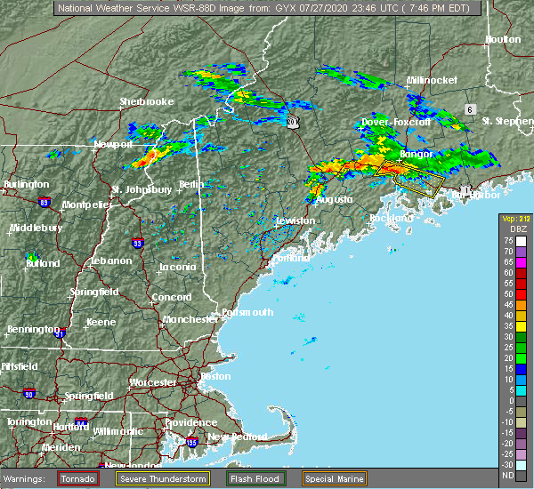 At 746 pm edt, a severe thunderstorm was located 7 miles northwest of winterport, or 17 miles north of searsport, moving southeast at 35 mph (radar indicated). Hazards include 60 mph wind gusts. expect damage to roofs, siding, and trees At 746 pm edt, a severe thunderstorm was located 7 miles northwest of winterport, or 17 miles north of searsport, moving southeast at 35 mph (radar indicated). Hazards include 60 mph wind gusts. expect damage to roofs, siding, and trees
|
| 7/27/2020 7:45 PM EDT |
 At 744 pm edt, a severe thunderstorm was located near hampden, or 9 miles southwest of bangor, moving southeast at 35 mph (radar indicated). Hazards include 60 mph wind gusts. expect damage to trees and power lines At 744 pm edt, a severe thunderstorm was located near hampden, or 9 miles southwest of bangor, moving southeast at 35 mph (radar indicated). Hazards include 60 mph wind gusts. expect damage to trees and power lines
|
| 8/9/2019 7:14 PM EDT |
 At 714 pm edt, a severe thunderstorm was located 8 miles northwest of searsport, moving east at 30 mph (radar indicated). Hazards include 60 mph wind gusts and quarter size hail. Hail damage to vehicles is expected. expect wind damage to roofs, siding, and trees. Locations impacted include, belfast, searsport, thorndike, winterport, stockton springs, prospect, knox, frankfort, brooks, jackson, monroe, waldo and swanville. At 714 pm edt, a severe thunderstorm was located 8 miles northwest of searsport, moving east at 30 mph (radar indicated). Hazards include 60 mph wind gusts and quarter size hail. Hail damage to vehicles is expected. expect wind damage to roofs, siding, and trees. Locations impacted include, belfast, searsport, thorndike, winterport, stockton springs, prospect, knox, frankfort, brooks, jackson, monroe, waldo and swanville.
|
| 8/9/2019 7:04 PM EDT |
 At 704 pm edt, a severe thunderstorm was located near thorndike, moving east at 30 mph (radar indicated). Hazards include 60 mph wind gusts and quarter size hail. Hail damage to vehicles is expected. Expect wind damage to roofs, siding, and trees. At 704 pm edt, a severe thunderstorm was located near thorndike, moving east at 30 mph (radar indicated). Hazards include 60 mph wind gusts and quarter size hail. Hail damage to vehicles is expected. Expect wind damage to roofs, siding, and trees.
|
| 7/6/2019 3:39 PM EDT |
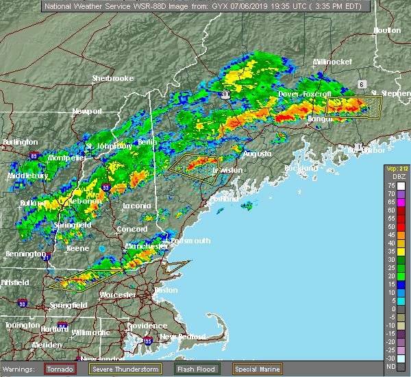 At 338 pm edt, severe thunderstorms were located along a line extending from near indian island to near newport, moving east at 40 mph (radar indicated). Hazards include 60 mph wind gusts. expect damage to trees and power lines At 338 pm edt, severe thunderstorms were located along a line extending from near indian island to near newport, moving east at 40 mph (radar indicated). Hazards include 60 mph wind gusts. expect damage to trees and power lines
|
| 8/16/2018 1:43 AM EDT |
 The severe thunderstorm warning for southern hancock county will expire at 145 am edt, the storm which prompted the warning has weakened below severe limits, but frequent cloud to ground lightning and heavy downpours are still likely. therefore, the warning will be allowed to expire. however gusty winds and heavy rain are still possible with this thunderstorm. to report severe weather, contact your nearest law enforcement agency. they will relay your report to the national weather service caribou maine. The severe thunderstorm warning for southern hancock county will expire at 145 am edt, the storm which prompted the warning has weakened below severe limits, but frequent cloud to ground lightning and heavy downpours are still likely. therefore, the warning will be allowed to expire. however gusty winds and heavy rain are still possible with this thunderstorm. to report severe weather, contact your nearest law enforcement agency. they will relay your report to the national weather service caribou maine.
|
| 8/16/2018 1:24 AM EDT |
 At 121 am edt, a severe thunderstorm was located near ellsworth, moving southeast at 30 mph (radar indicated). Hazards include 60 mph wind gusts and quarter size hail. Minor hail damage to vehicles is possible. expect wind damage to trees and power lines. Locations impacted include, ellsworth, bar harbor, bucksport, blue hill, dedham, verona island, penobscot township, hancock, orland, trenton, surry, sullivan, somesville and verona. At 121 am edt, a severe thunderstorm was located near ellsworth, moving southeast at 30 mph (radar indicated). Hazards include 60 mph wind gusts and quarter size hail. Minor hail damage to vehicles is possible. expect wind damage to trees and power lines. Locations impacted include, ellsworth, bar harbor, bucksport, blue hill, dedham, verona island, penobscot township, hancock, orland, trenton, surry, sullivan, somesville and verona.
|
| 8/16/2018 12:52 AM EDT |
 At 1251 am edt, a severe thunderstorm was located near bucksport, moving southeast at 25 mph (radar indicated). Hazards include 60 mph wind gusts and quarter size hail. Minor hail damage to vehicles is possible. Expect wind damage to trees and power lines. At 1251 am edt, a severe thunderstorm was located near bucksport, moving southeast at 25 mph (radar indicated). Hazards include 60 mph wind gusts and quarter size hail. Minor hail damage to vehicles is possible. Expect wind damage to trees and power lines.
|
| 8/9/2018 2:25 PM EDT |
 At 224 pm edt, a severe thunderstorm was located near dedham, or 12 miles southeast of bangor, moving east at 30 mph (radar indicated). Hazards include 60 mph wind gusts and quarter size hail. Minor hail damage to vehicles is possible. expect wind damage to trees and power lines. Locations impacted include, ellsworth, bucksport, blue hill, brewer, dedham, verona island, penobscot township, franklin, orrington, holden, orland, eddington, surry, clifton, otis, mariaville, waltham, amherst and verona. At 224 pm edt, a severe thunderstorm was located near dedham, or 12 miles southeast of bangor, moving east at 30 mph (radar indicated). Hazards include 60 mph wind gusts and quarter size hail. Minor hail damage to vehicles is possible. expect wind damage to trees and power lines. Locations impacted include, ellsworth, bucksport, blue hill, brewer, dedham, verona island, penobscot township, franklin, orrington, holden, orland, eddington, surry, clifton, otis, mariaville, waltham, amherst and verona.
|
| 8/9/2018 2:20 PM EDT | Tree down on masthill rd. tree down on williams pond rd involving power line in hancock county ME, 2 miles NNE of Bucksport, ME |
| 8/9/2018 2:06 PM EDT |
 At 205 pm edt, a severe thunderstorm was located over winterport, or near bucksport, moving east at 25 mph (radar indicated). Hazards include 60 mph wind gusts and quarter size hail. Minor hail damage to vehicles is possible. Expect wind damage to trees and power lines. At 205 pm edt, a severe thunderstorm was located over winterport, or near bucksport, moving east at 25 mph (radar indicated). Hazards include 60 mph wind gusts and quarter size hail. Minor hail damage to vehicles is possible. Expect wind damage to trees and power lines.
|
| 8/9/2018 1:57 PM EDT |
 The severe thunderstorm warning for west central hancock and south central penobscot counties will expire at 200 pm edt, the storms which prompted the warning have weakened below severe limits, but frequent cloud to ground lightning and heavy downpours are still likely. therefore, the warning will be allowed to expire. The severe thunderstorm warning for west central hancock and south central penobscot counties will expire at 200 pm edt, the storms which prompted the warning have weakened below severe limits, but frequent cloud to ground lightning and heavy downpours are still likely. therefore, the warning will be allowed to expire.
|
| 8/9/2018 1:36 PM EDT |
 At 136 pm edt, severe thunderstorms were located along a line extending from near indian island to bangor to near winterport, moving northeast at 35 mph (radar indicated). Hazards include 60 mph wind gusts and quarter size hail. Minor hail damage to vehicles is possible. expect wind damage to trees and power lines. Locations impacted include, bangor, old town, bucksport, orono, brewer, hampden, hermon, veazie, dedham, kenduskeag, verona island, indian island, winterport, grand falls, glenburn, orrington, holden, milford, levant and carmel. At 136 pm edt, severe thunderstorms were located along a line extending from near indian island to bangor to near winterport, moving northeast at 35 mph (radar indicated). Hazards include 60 mph wind gusts and quarter size hail. Minor hail damage to vehicles is possible. expect wind damage to trees and power lines. Locations impacted include, bangor, old town, bucksport, orono, brewer, hampden, hermon, veazie, dedham, kenduskeag, verona island, indian island, winterport, grand falls, glenburn, orrington, holden, milford, levant and carmel.
|
| 8/9/2018 1:11 PM EDT |
 At 111 pm edt, severe thunderstorms were located along a line extending from near kenduskeag to 7 miles west of hermon to near thorndike, moving east at 25 mph (radar indicated). Hazards include 60 mph wind gusts and quarter size hail. Minor hail damage to vehicles is possible. Expect wind damage to trees and power lines. At 111 pm edt, severe thunderstorms were located along a line extending from near kenduskeag to 7 miles west of hermon to near thorndike, moving east at 25 mph (radar indicated). Hazards include 60 mph wind gusts and quarter size hail. Minor hail damage to vehicles is possible. Expect wind damage to trees and power lines.
|
| 8/7/2018 8:05 PM EDT |
 At 804 pm edt, a severe thunderstorm was located over dedham, or 9 miles southeast of bangor, moving east at 40 mph (radar indicated). Hazards include 60 mph wind gusts and quarter size hail. Minor hail damage to vehicles is possible. expect wind damage to trees and power lines. Locations impacted include, ellsworth, bucksport, brewer, dedham, orrington, holden, eddington, orland, bradley, clifton, otis, mariaville, waltham and amherst. At 804 pm edt, a severe thunderstorm was located over dedham, or 9 miles southeast of bangor, moving east at 40 mph (radar indicated). Hazards include 60 mph wind gusts and quarter size hail. Minor hail damage to vehicles is possible. expect wind damage to trees and power lines. Locations impacted include, ellsworth, bucksport, brewer, dedham, orrington, holden, eddington, orland, bradley, clifton, otis, mariaville, waltham and amherst.
|
| 8/7/2018 7:47 PM EDT |
 At 747 pm edt, a severe thunderstorm was located near hampden, or 8 miles southwest of bangor, moving east at 40 mph (radar indicated). Hazards include 60 mph wind gusts and quarter size hail. Minor hail damage to vehicles is possible. Expect wind damage to trees and power lines. At 747 pm edt, a severe thunderstorm was located near hampden, or 8 miles southwest of bangor, moving east at 40 mph (radar indicated). Hazards include 60 mph wind gusts and quarter size hail. Minor hail damage to vehicles is possible. Expect wind damage to trees and power lines.
|
| 8/7/2018 7:35 PM EDT |
 At 735 pm edt, a severe thunderstorm was located 11 miles west of winterport, or 12 miles northeast of thorndike, moving east at 30 mph (radar indicated). Hazards include 60 mph wind gusts and quarter size hail. Hail damage to vehicles is expected. expect wind damage to roofs, siding, and trees. Locations impacted include, searsport, winterport, prospect, frankfort, brooks, jackson, monroe and swanville. At 735 pm edt, a severe thunderstorm was located 11 miles west of winterport, or 12 miles northeast of thorndike, moving east at 30 mph (radar indicated). Hazards include 60 mph wind gusts and quarter size hail. Hail damage to vehicles is expected. expect wind damage to roofs, siding, and trees. Locations impacted include, searsport, winterport, prospect, frankfort, brooks, jackson, monroe and swanville.
|
| 8/7/2018 7:15 PM EDT |
 At 715 pm edt, a severe thunderstorm was located over unity, or near thorndike, moving east at 30 mph (radar indicated). Hazards include 60 mph wind gusts and quarter size hail. Hail damage to vehicles is expected. Expect wind damage to roofs, siding, and trees. At 715 pm edt, a severe thunderstorm was located over unity, or near thorndike, moving east at 30 mph (radar indicated). Hazards include 60 mph wind gusts and quarter size hail. Hail damage to vehicles is expected. Expect wind damage to roofs, siding, and trees.
|
| 7/10/2018 5:10 PM EDT |
 At 510 pm edt, a severe thunderstorm was located 8 miles west of prospect, or 8 miles northwest of searsport, moving east at 30 mph (radar indicated). Hazards include 60 mph wind gusts and quarter size hail. Hail damage to vehicles is expected. Expect wind damage to roofs, siding, and trees. At 510 pm edt, a severe thunderstorm was located 8 miles west of prospect, or 8 miles northwest of searsport, moving east at 30 mph (radar indicated). Hazards include 60 mph wind gusts and quarter size hail. Hail damage to vehicles is expected. Expect wind damage to roofs, siding, and trees.
|
| 6/27/2017 3:21 PM EDT |
 At 720 pm edt, a severe thunderstorm was located over stockton springs, or near searsport, moving northeast at 30 mph (radar indicated). Hazards include 60 mph wind gusts and quarter size hail. Minor hail damage to vehicles is possible. Expect wind damage to roofs, siding, and trees. At 720 pm edt, a severe thunderstorm was located over stockton springs, or near searsport, moving northeast at 30 mph (radar indicated). Hazards include 60 mph wind gusts and quarter size hail. Minor hail damage to vehicles is possible. Expect wind damage to roofs, siding, and trees.
|
| 7/18/2016 9:02 PM EDT |
 At 902 pm edt, a severe thunderstorm was located 9 miles west of prospect, or 10 miles northwest of searsport, moving east at 30 mph (radar indicated). Hazards include 60 mph wind gusts. Expect damage to roofs. siding. and trees. Locations impacted include, belfast, bucksport, searsport, thorndike, verona island, winterport, prospect, stockton springs, knox, frankfort, brooks, jackson, waldo, verona, swanville, monroe, morrill and montville. At 902 pm edt, a severe thunderstorm was located 9 miles west of prospect, or 10 miles northwest of searsport, moving east at 30 mph (radar indicated). Hazards include 60 mph wind gusts. Expect damage to roofs. siding. and trees. Locations impacted include, belfast, bucksport, searsport, thorndike, verona island, winterport, prospect, stockton springs, knox, frankfort, brooks, jackson, waldo, verona, swanville, monroe, morrill and montville.
|
| 7/18/2016 8:50 PM EDT |
 At 849 pm edt, a severe thunderstorm was located near thorndike, moving east at 30 mph (radar indicated). Hazards include 60 mph wind gusts and quarter size hail. Hail damage to vehicles is expected. expect wind damage to roofs, siding, and trees. Locations impacted include, belfast, bucksport, searsport, thorndike, castine, verona island, winterport, prospect, stockton springs, unity, penobscot township, knox, frankfort, brooks, brooksville, freedom, jackson, waldo, troy and morrill. At 849 pm edt, a severe thunderstorm was located near thorndike, moving east at 30 mph (radar indicated). Hazards include 60 mph wind gusts and quarter size hail. Hail damage to vehicles is expected. expect wind damage to roofs, siding, and trees. Locations impacted include, belfast, bucksport, searsport, thorndike, castine, verona island, winterport, prospect, stockton springs, unity, penobscot township, knox, frankfort, brooks, brooksville, freedom, jackson, waldo, troy and morrill.
|
| 7/18/2016 8:43 PM EDT |
 At 842 pm edt, a severe thunderstorm was located over unity, or near thorndike, moving east at 25 mph (radar indicated). Hazards include 60 mph wind gusts and quarter size hail. Hail damage to vehicles is expected. Expect wind damage to roofs, siding, and trees. At 842 pm edt, a severe thunderstorm was located over unity, or near thorndike, moving east at 25 mph (radar indicated). Hazards include 60 mph wind gusts and quarter size hail. Hail damage to vehicles is expected. Expect wind damage to roofs, siding, and trees.
|
| 8/4/2015 5:26 PM EDT |
 The severe thunderstorm warning for southeastern somerset, northeastern kennebec and northern waldo counties will expire at 530 pm edt, the storms which prompted the warning have weakened below severe limits, and no longer poses an immediate threat to life or property. therefore the warning will be allowed to expire. The severe thunderstorm warning for southeastern somerset, northeastern kennebec and northern waldo counties will expire at 530 pm edt, the storms which prompted the warning have weakened below severe limits, and no longer poses an immediate threat to life or property. therefore the warning will be allowed to expire.
|
| 8/4/2015 5:00 PM EDT |
 At 459 pm edt, doppler radar indicated a line of severe thunderstorms capable of producing quarter size hail and damaging winds in excess of 60 mph. these storms were located along a line extending from near pittsfield to augusta, moving east at 25 mph. locations impacted include, northern augusta, southeastern waterville, thorndike, pittsfield, searsport, china, clinton, manchester, liberty, palermo, winterport, prospect, unity, winthrop, stockton springs, knox, benton, albion, burnham and frankfort. At 459 pm edt, doppler radar indicated a line of severe thunderstorms capable of producing quarter size hail and damaging winds in excess of 60 mph. these storms were located along a line extending from near pittsfield to augusta, moving east at 25 mph. locations impacted include, northern augusta, southeastern waterville, thorndike, pittsfield, searsport, china, clinton, manchester, liberty, palermo, winterport, prospect, unity, winthrop, stockton springs, knox, benton, albion, burnham and frankfort.
|
| 8/4/2015 4:30 PM EDT |
 At 429 pm edt, doppler radar indicated a line of severe thunderstorms capable of producing half dollar size hail and damaging winds in excess of 60 mph. these storms were located along a line extending from 6 miles east of skowhegan to near winthrop, and moving northeast at 30 mph. At 429 pm edt, doppler radar indicated a line of severe thunderstorms capable of producing half dollar size hail and damaging winds in excess of 60 mph. these storms were located along a line extending from 6 miles east of skowhegan to near winthrop, and moving northeast at 30 mph.
|
| 8/1/2015 4:51 PM EDT |
 At 451 pm edt, doppler radar indicated a severe thunderstorm capable of producing damaging winds in excess of 60 mph. this storm was located over castine, or 7 miles west of blue hill, moving east at 40 mph. penny size hail may also accompany the damaging winds. locations impacted include, belfast, eastern camden, lincolnville, searsport, stockton springs, islesboro, camden hills state park, winterport, prospect, warren island state park, rockport, frankfort, swan lake state park, northport, swanville, north haven, waldo and vinalhaven. At 451 pm edt, doppler radar indicated a severe thunderstorm capable of producing damaging winds in excess of 60 mph. this storm was located over castine, or 7 miles west of blue hill, moving east at 40 mph. penny size hail may also accompany the damaging winds. locations impacted include, belfast, eastern camden, lincolnville, searsport, stockton springs, islesboro, camden hills state park, winterport, prospect, warren island state park, rockport, frankfort, swan lake state park, northport, swanville, north haven, waldo and vinalhaven.
|
| 8/1/2015 4:39 PM EDT |
 At 438 pm edt, doppler radar indicated a severe thunderstorm capable of producing damaging winds in excess of 60 mph. this storm was located over searsport, moving east at 40 mph. penny size hail may also accompany the damaging winds. locations impacted include, belfast, camden, lincolnville, searsport, thorndike, camden hills state park, rockport, stockton springs, islesboro, winterport, prospect, warren island state park, knox, hope, frankfort, brooks, jackson, swan lake state park, northport and swanville. At 438 pm edt, doppler radar indicated a severe thunderstorm capable of producing damaging winds in excess of 60 mph. this storm was located over searsport, moving east at 40 mph. penny size hail may also accompany the damaging winds. locations impacted include, belfast, camden, lincolnville, searsport, thorndike, camden hills state park, rockport, stockton springs, islesboro, winterport, prospect, warren island state park, knox, hope, frankfort, brooks, jackson, swan lake state park, northport and swanville.
|
| 8/1/2015 4:38 PM EDT |
 At 437 pm edt, doppler radar indicated a severe thunderstorm capable of producing damaging winds in excess of 60 mph. this storm was located near islesboro, or near belfast, and moving east at 40 mph. At 437 pm edt, doppler radar indicated a severe thunderstorm capable of producing damaging winds in excess of 60 mph. this storm was located near islesboro, or near belfast, and moving east at 40 mph.
|
| 8/1/2015 4:27 PM EDT |
 At 426 pm edt, doppler radar indicated a severe thunderstorm capable of producing damaging winds in excess of 60 mph. this storm was located near belfast, moving east at 40 mph. penny size hail may also accompany the damaging winds. locations impacted include, rockland, belfast, camden, lincolnville, searsport, thorndike, liberty, camden hills state park, rockport, stockton springs, islesboro, winterport, prospect, warren island state park, lake st. george state park, unity, knox, hope, appleton and frankfort. At 426 pm edt, doppler radar indicated a severe thunderstorm capable of producing damaging winds in excess of 60 mph. this storm was located near belfast, moving east at 40 mph. penny size hail may also accompany the damaging winds. locations impacted include, rockland, belfast, camden, lincolnville, searsport, thorndike, liberty, camden hills state park, rockport, stockton springs, islesboro, winterport, prospect, warren island state park, lake st. george state park, unity, knox, hope, appleton and frankfort.
|
| 8/1/2015 4:12 PM EDT |
 At 411 pm edt, doppler radar indicated a severe thunderstorm capable of producing damaging winds in excess of 60 mph. this storm was located over liberty, or 13 miles west of belfast, moving east at 40 mph. penny size hail may also accompany the damaging winds. locations impacted include, rockland, belfast, camden, lincolnville, searsport, thorndike, china, liberty, camden hills state park, palermo, rockport, stockton springs, lake st. george state park, islesboro, damariscotta lake state park, winterport, prospect, warren island state park, unity and knox. At 411 pm edt, doppler radar indicated a severe thunderstorm capable of producing damaging winds in excess of 60 mph. this storm was located over liberty, or 13 miles west of belfast, moving east at 40 mph. penny size hail may also accompany the damaging winds. locations impacted include, rockland, belfast, camden, lincolnville, searsport, thorndike, china, liberty, camden hills state park, palermo, rockport, stockton springs, lake st. george state park, islesboro, damariscotta lake state park, winterport, prospect, warren island state park, unity and knox.
|
| 8/1/2015 3:55 PM EDT |
 At 354 pm edt, doppler radar indicated a severe thunderstorm capable of producing quarter size hail and damaging winds in excess of 60 mph. this storm was located near palermo, or 14 miles east of augusta, moving east at 40 mph. locations impacted include, augusta, rockland, belfast, gardiner, camden, lincolnville, searsport, thorndike, china, farmingdale, hallowell, liberty, camden hills state park, rockport, islesboro, damariscotta lake state park, winterport, warren island state park, palermo and stockton springs. At 354 pm edt, doppler radar indicated a severe thunderstorm capable of producing quarter size hail and damaging winds in excess of 60 mph. this storm was located near palermo, or 14 miles east of augusta, moving east at 40 mph. locations impacted include, augusta, rockland, belfast, gardiner, camden, lincolnville, searsport, thorndike, china, farmingdale, hallowell, liberty, camden hills state park, rockport, islesboro, damariscotta lake state park, winterport, warren island state park, palermo and stockton springs.
|
| 8/1/2015 3:51 PM EDT |
 At 351 pm edt, doppler radar indicated a severe thunderstorm capable of producing quarter size hail and damaging winds in excess of 60 mph. this storm was located near palermo, or 12 miles east of augusta, and moving east at 40 mph. At 351 pm edt, doppler radar indicated a severe thunderstorm capable of producing quarter size hail and damaging winds in excess of 60 mph. this storm was located near palermo, or 12 miles east of augusta, and moving east at 40 mph.
|
| 6/23/2015 9:15 PM EDT |
 At 913 pm edt, a severe thunderstorm was located 7 miles southeast of orono, or 9 miles southeast of old town, moving east at 35 mph (radar indicated). Hazards include 60 mph wind gusts. Damage is possible to siding and trees. Locations impacted include, bangor, old town, ellsworth, bucksport, orono, brewer, hampden, hermon, veazie, dedham, kenduskeag, indian island, glenburn, orrington, holden, milford, levant, eddington, orland and bradley. At 913 pm edt, a severe thunderstorm was located 7 miles southeast of orono, or 9 miles southeast of old town, moving east at 35 mph (radar indicated). Hazards include 60 mph wind gusts. Damage is possible to siding and trees. Locations impacted include, bangor, old town, ellsworth, bucksport, orono, brewer, hampden, hermon, veazie, dedham, kenduskeag, indian island, glenburn, orrington, holden, milford, levant, eddington, orland and bradley.
|
| 6/23/2015 8:47 PM EDT |
 At 846 pm edt, a severe thunderstorm was located 7 miles southwest of hermon, or 12 miles southeast of newport, moving east at 35 mph (radar indicated). Hazards include 60 mph wind gusts. radar indicated some weak rotation with this storm. Damage to roofs. Siding and trees is possible. At 846 pm edt, a severe thunderstorm was located 7 miles southwest of hermon, or 12 miles southeast of newport, moving east at 35 mph (radar indicated). Hazards include 60 mph wind gusts. radar indicated some weak rotation with this storm. Damage to roofs. Siding and trees is possible.
|
| 7/20/2013 5:50 PM EDT | Several trees and power lines dow in hancock county ME, 2 miles N of Bucksport, ME |
Hail Maps for Bucksport, ME


Connect with Interactive Hail Maps