

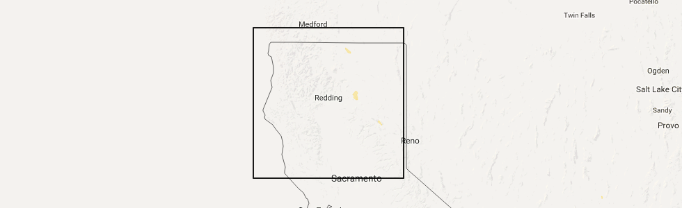
Hail Map for Cassel, CA
The Cassel, CA area has had 0 reports of on-the-ground hail by trained spotters, and has been under severe weather warnings 0 times during the past 12 months. Doppler radar has detected hail at or near Cassel, CA on 1 occasion.
| Name: | Cassel, CA |
| Where Located: | 49.9 miles ENE of Redding, CA |
| Map: | Google Map for Cassel, CA |
| Population: | 207 |
| Housing Units: | 140 |
| More Info: | Search Google for Cassel, CA |
0
The Top Recent Hail Date for Cassel, CA is Wednesday, September 6, 2017 (1st out of 1)
Hail and Wind Damage Spotted near Cassel, CA
| Date / Time | Report Details |
|---|---|
| 9/6/2017 5:03 PM PDT |
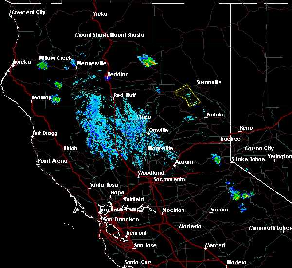 At 501 pm pdt, a severe thunderstorm was located 8 miles south of cassel, or 21 miles south of dana, moving northeast at 20 mph (radar indicated). Hazards include ping pong ball size hail. People and animals outdoors will be injured. expect damage to roofs, siding, windows, and vehicles. This severe thunderstorm will remain over mainly rural areas of east central shasta county and over highway 89 north of old station. At 501 pm pdt, a severe thunderstorm was located 8 miles south of cassel, or 21 miles south of dana, moving northeast at 20 mph (radar indicated). Hazards include ping pong ball size hail. People and animals outdoors will be injured. expect damage to roofs, siding, windows, and vehicles. This severe thunderstorm will remain over mainly rural areas of east central shasta county and over highway 89 north of old station.
|
Hail Maps for Cassel, CA

Connect with Interactive Hail Maps