

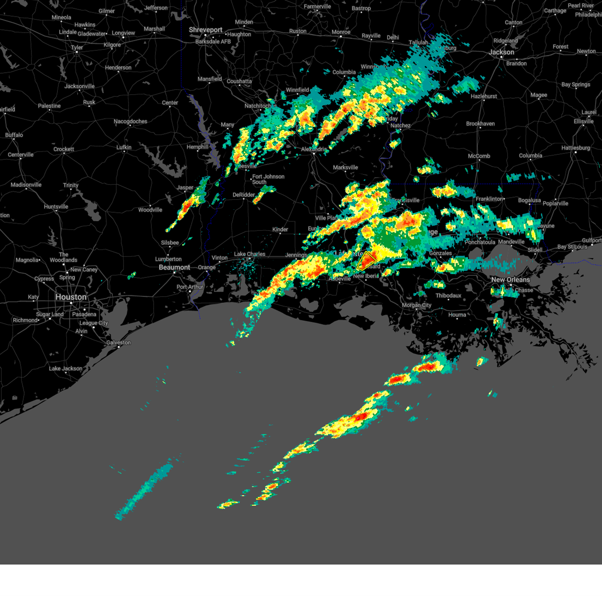
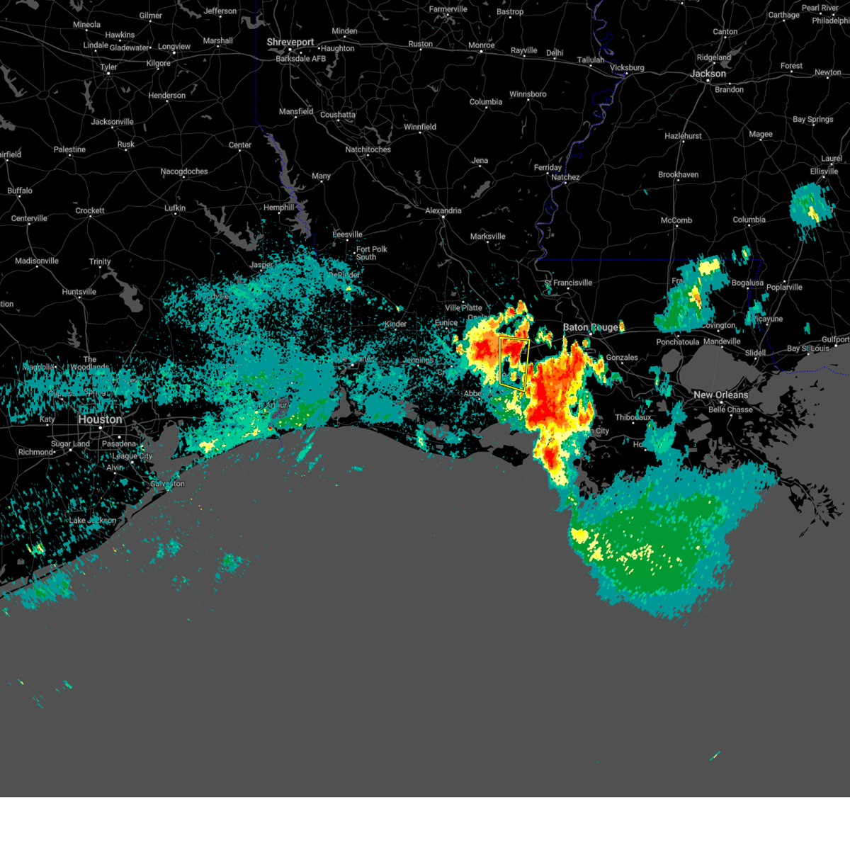
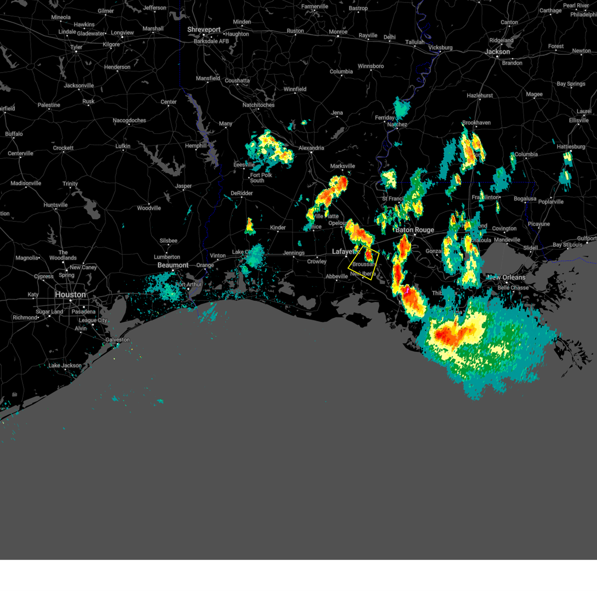
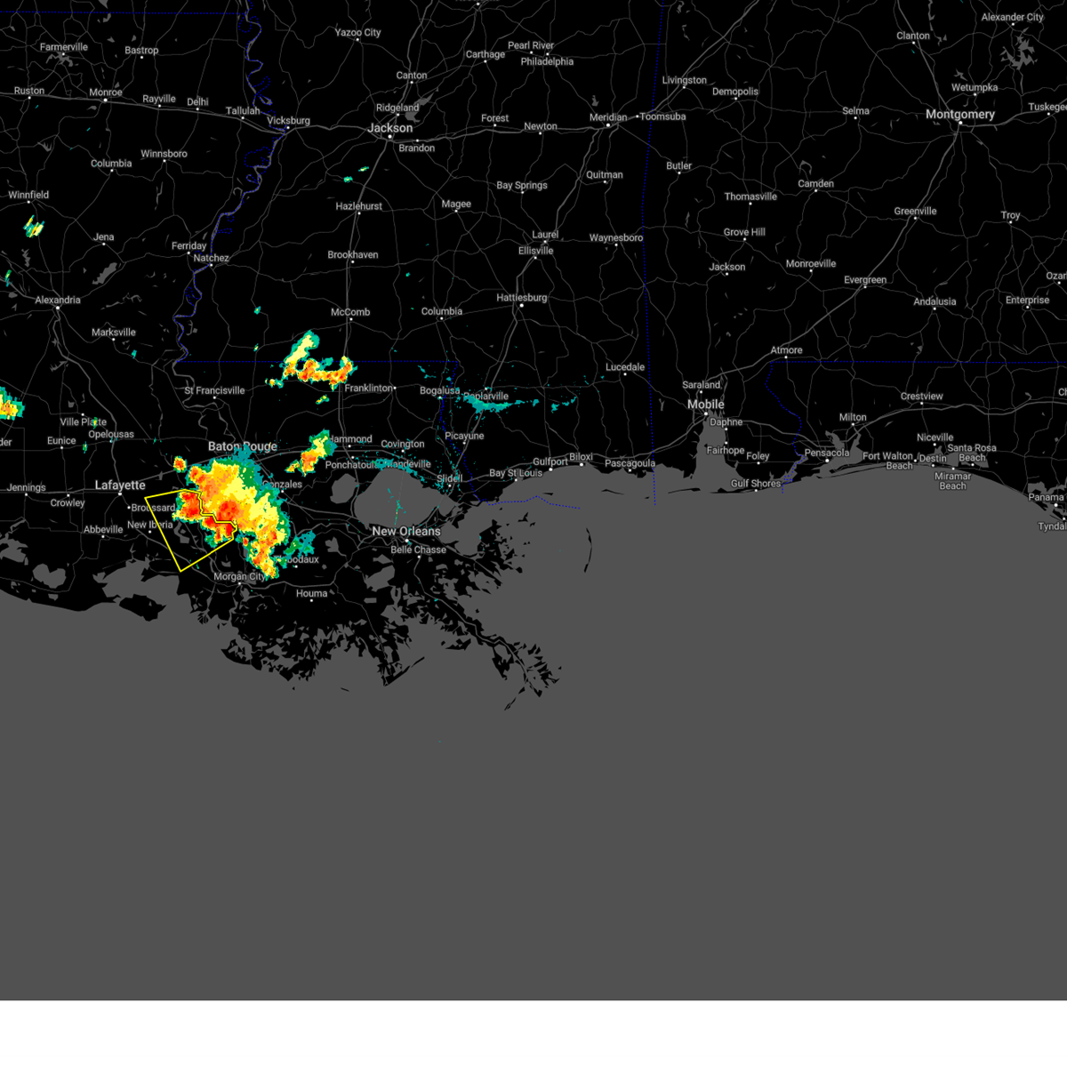
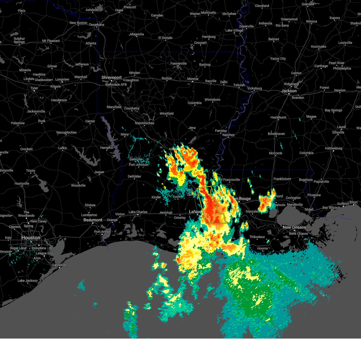
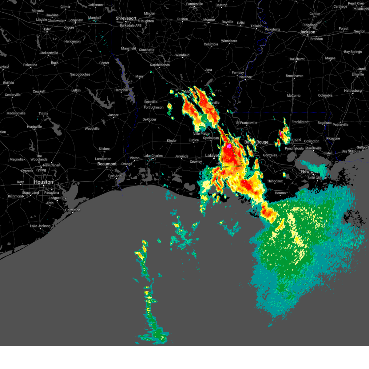
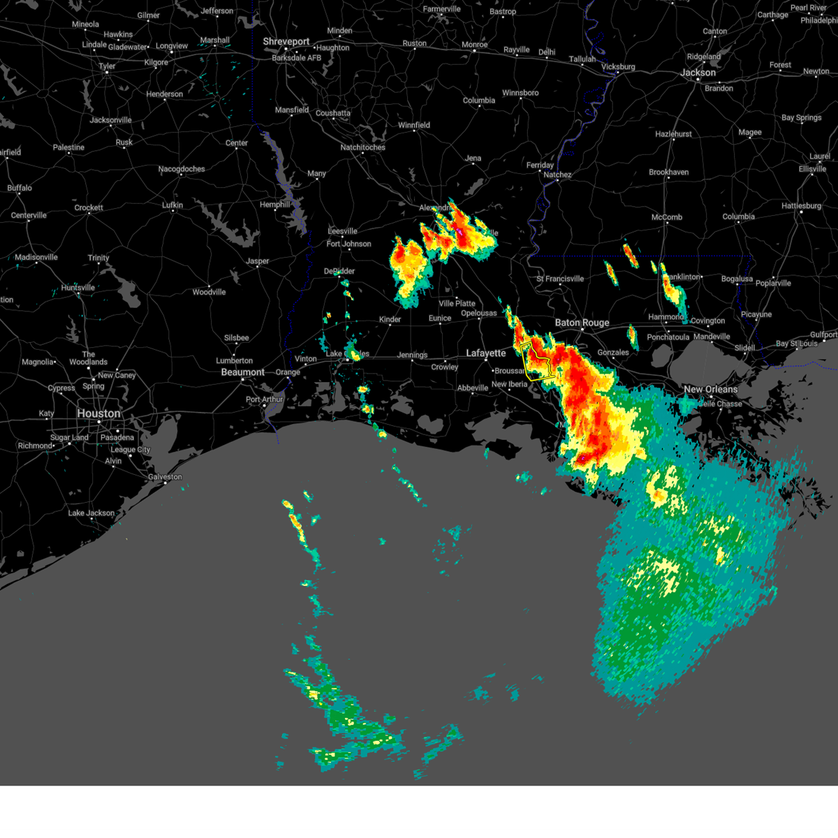
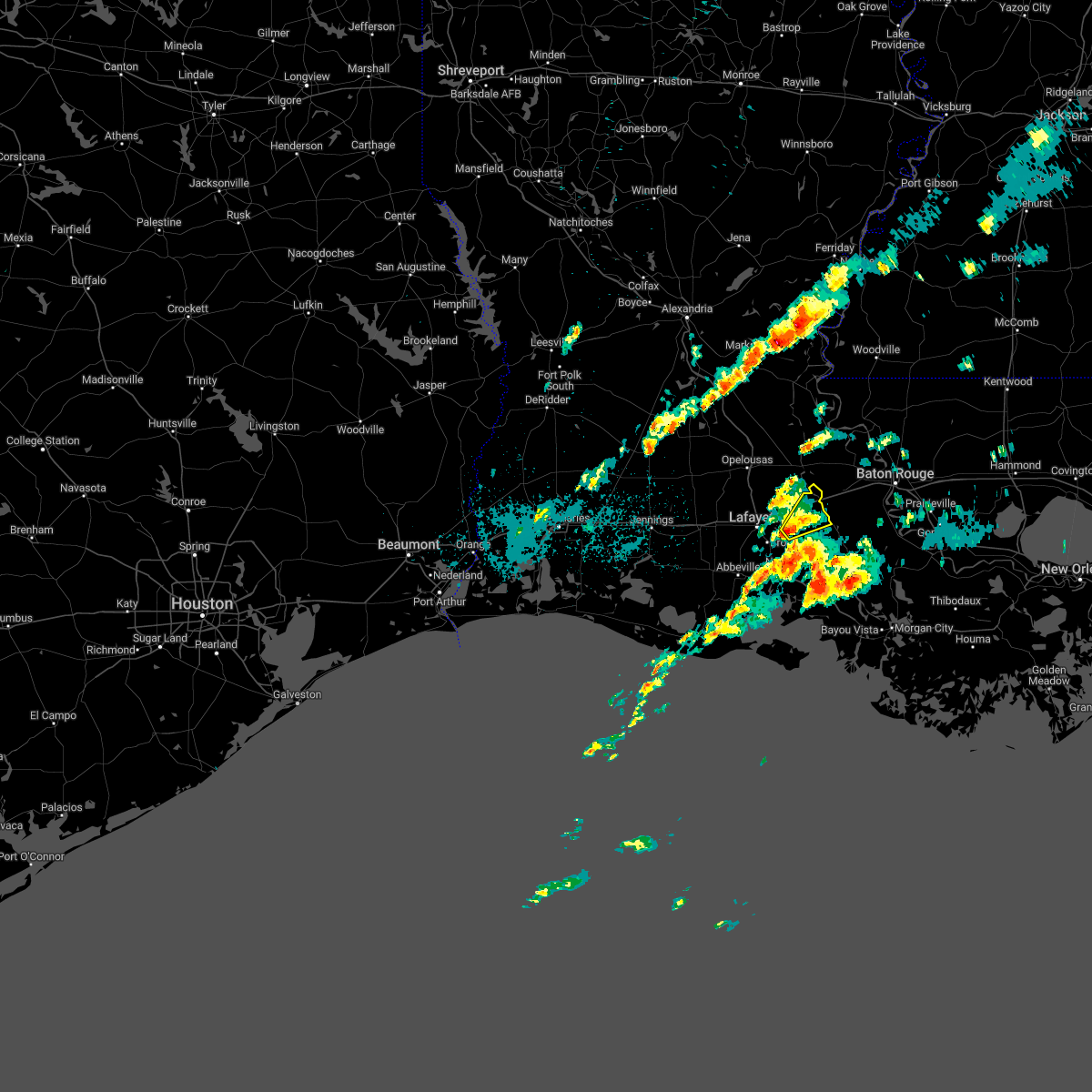
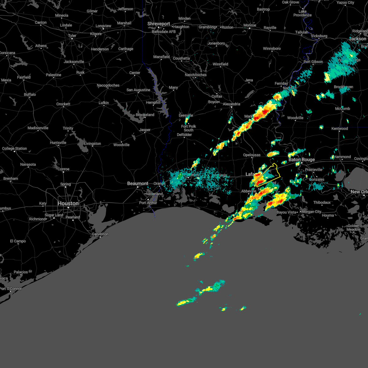
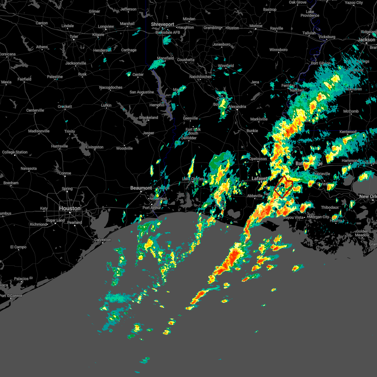
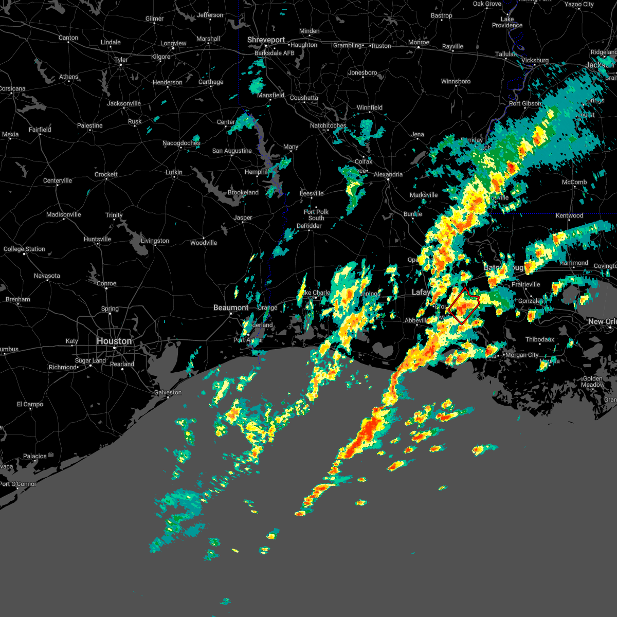
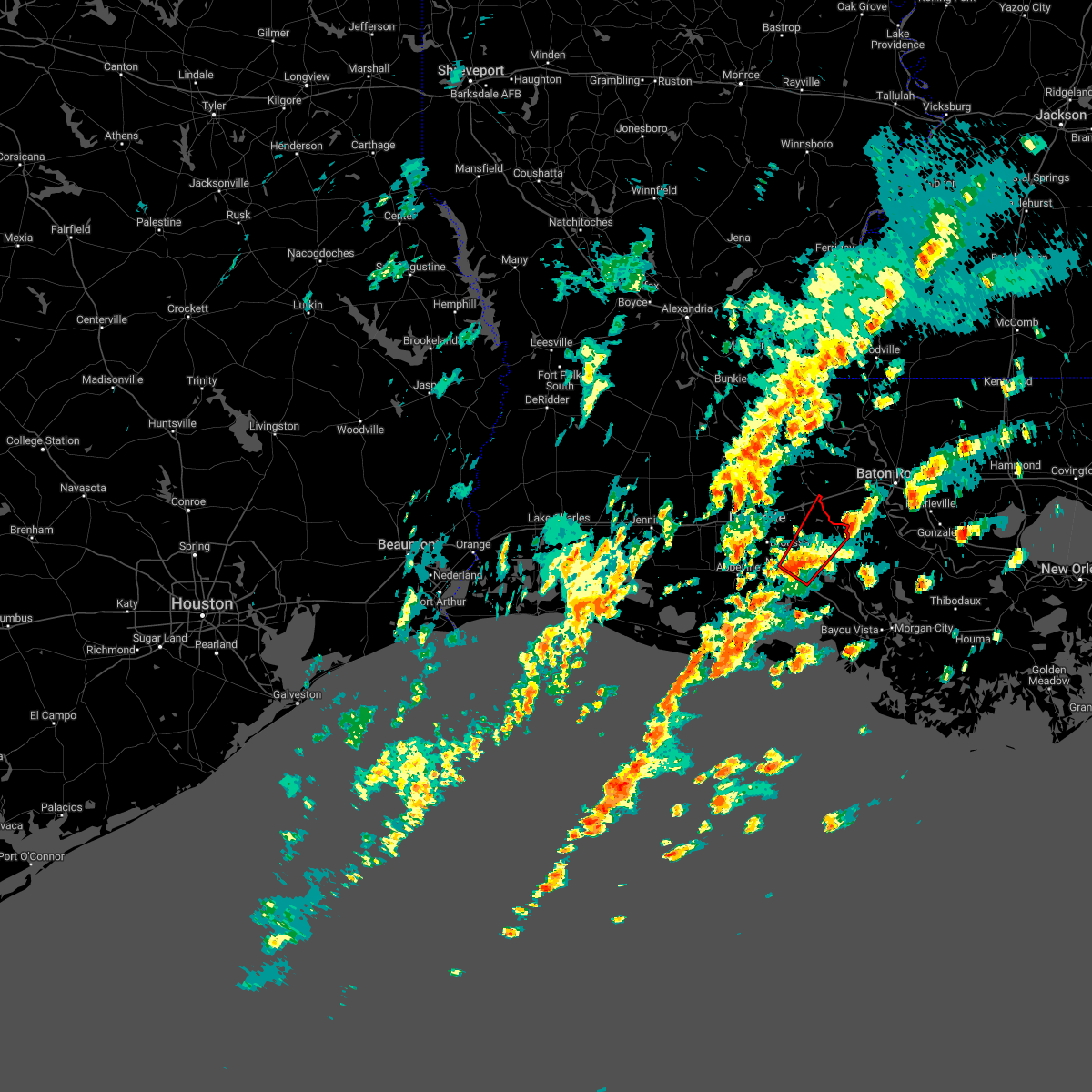
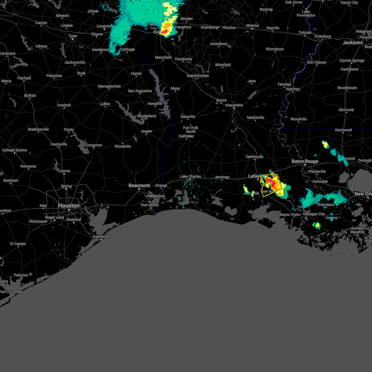
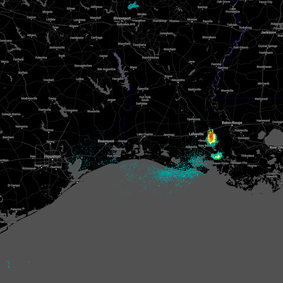
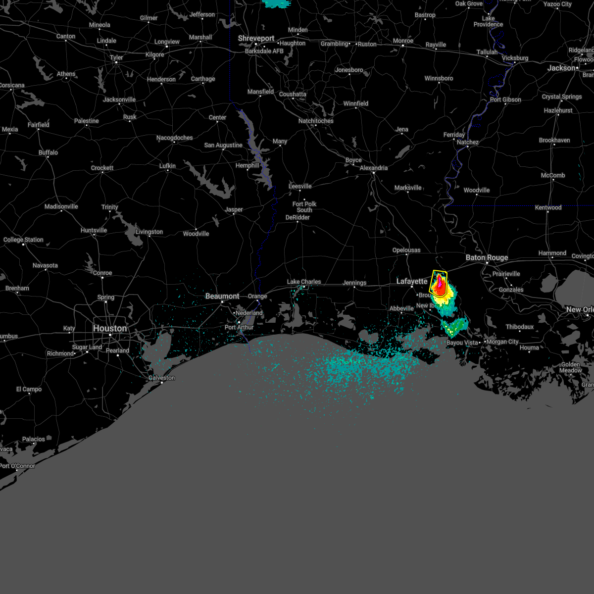
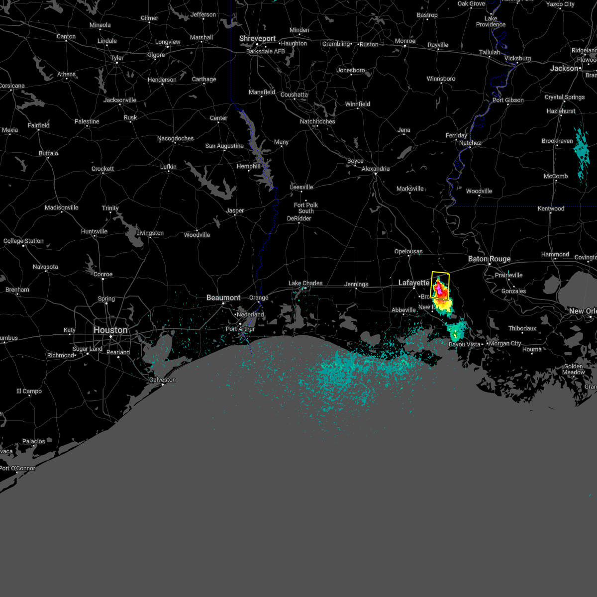
Hail Map for Catahoula, LA
The Catahoula, LA area has had 1 report of on-the-ground hail by trained spotters, and has been under severe weather warnings 26 times during the past 12 months. Doppler radar has detected hail at or near Catahoula, LA on 52 occasions, including 5 occasions during the past year.
| Name: | Catahoula, LA |
| Where Located: | 18.1 miles E of Lafayette, LA |
| Map: | Google Map for Catahoula, LA |
| Population: | 1094 |
| Housing Units: | 465 |
| More Info: | Search Google for Catahoula, LA |
1
The Top Recent Hail Date for Catahoula, LA is Tuesday, June 20, 2023 (16th out of 52)

Hail and Wind Damage Spotted near Catahoula, LA
| Date / Time | Report Details |
|---|---|
| 4/10/2024 8:14 AM CDT |
 Svrlch the national weather service in lake charles has issued a * severe thunderstorm warning for, iberia parish in south central louisiana, southern lafayette parish in south central louisiana, st. mary parish in south central louisiana, vermilion parish in southwestern louisiana, central st. martin parish in south central louisiana, * until 915 am cdt. * at 814 am cdt, severe thunderstorms were located along a line extending from broussard to 7 miles southwest of intracoastal city to freshwater city, moving east at 40 mph (radar indicated). Hazards include 60 mph wind gusts and quarter size hail. Hail damage to vehicles is expected. Expect wind damage to roofs, siding, and trees. Svrlch the national weather service in lake charles has issued a * severe thunderstorm warning for, iberia parish in south central louisiana, southern lafayette parish in south central louisiana, st. mary parish in south central louisiana, vermilion parish in southwestern louisiana, central st. martin parish in south central louisiana, * until 915 am cdt. * at 814 am cdt, severe thunderstorms were located along a line extending from broussard to 7 miles southwest of intracoastal city to freshwater city, moving east at 40 mph (radar indicated). Hazards include 60 mph wind gusts and quarter size hail. Hail damage to vehicles is expected. Expect wind damage to roofs, siding, and trees.
|
| 4/10/2024 7:51 AM CDT |
 The storms which prompted the warning have moved out of the area. therefore, the warning will be allowed to expire. a tornado watch remains in effect until 900 am cdt for central, south central and southwestern louisiana. The storms which prompted the warning have moved out of the area. therefore, the warning will be allowed to expire. a tornado watch remains in effect until 900 am cdt for central, south central and southwestern louisiana.
|
| 4/10/2024 7:50 AM CDT |
 Svrlch the national weather service in lake charles has issued a * severe thunderstorm warning for, northeastern lafayette parish in south central louisiana, northwestern st. martin parish in south central louisiana, southeastern st. landry parish in central louisiana, * until 815 am cdt. * at 750 am cdt, severe thunderstorms were located along a line extending from near melville to near cecilia to near breaux bridge, moving east at 75 mph (radar indicated). Hazards include 60 mph wind gusts. expect damage to roofs, siding, and trees Svrlch the national weather service in lake charles has issued a * severe thunderstorm warning for, northeastern lafayette parish in south central louisiana, northwestern st. martin parish in south central louisiana, southeastern st. landry parish in central louisiana, * until 815 am cdt. * at 750 am cdt, severe thunderstorms were located along a line extending from near melville to near cecilia to near breaux bridge, moving east at 75 mph (radar indicated). Hazards include 60 mph wind gusts. expect damage to roofs, siding, and trees
|
| 4/10/2024 7:02 AM CDT |
 Svrlch the national weather service in lake charles has issued a * severe thunderstorm warning for, northeastern cameron parish in southwestern louisiana, northwestern iberia parish in south central louisiana, lafayette parish in south central louisiana, eastern jefferson davis parish in southwestern louisiana, southern evangeline parish in central louisiana, acadia parish in southwestern louisiana, northern vermilion parish in southwestern louisiana, northwestern st. martin parish in south central louisiana, st. landry parish in central louisiana, * until 800 am cdt. * at 702 am cdt, severe thunderstorms were located along a line extending from near elton to near jennings to 9 miles southeast of lacassine national wildlife refuge, moving northeast at 75 mph (radar indicated). Hazards include 70 mph wind gusts and nickel size hail. Expect considerable tree damage. Damage is likely to mobile homes, roofs, and outbuildings. Svrlch the national weather service in lake charles has issued a * severe thunderstorm warning for, northeastern cameron parish in southwestern louisiana, northwestern iberia parish in south central louisiana, lafayette parish in south central louisiana, eastern jefferson davis parish in southwestern louisiana, southern evangeline parish in central louisiana, acadia parish in southwestern louisiana, northern vermilion parish in southwestern louisiana, northwestern st. martin parish in south central louisiana, st. landry parish in central louisiana, * until 800 am cdt. * at 702 am cdt, severe thunderstorms were located along a line extending from near elton to near jennings to 9 miles southeast of lacassine national wildlife refuge, moving northeast at 75 mph (radar indicated). Hazards include 70 mph wind gusts and nickel size hail. Expect considerable tree damage. Damage is likely to mobile homes, roofs, and outbuildings.
|
| 3/8/2024 1:40 PM CST |
 The storm which prompted the warning has weakened below severe limits, and no longer poses an immediate threat to life or property. therefore, the warning will be allowed to expire. however gusty winds are still possible with this thunderstorm. The storm which prompted the warning has weakened below severe limits, and no longer poses an immediate threat to life or property. therefore, the warning will be allowed to expire. however gusty winds are still possible with this thunderstorm.
|
| 3/8/2024 1:38 PM CST |
 At 137 pm cst, a severe thunderstorm was located near st. martinville, moving northeast at 35 mph (radar indicated). Hazards include 60 mph wind gusts and penny size hail. Expect damage to roofs, siding, and trees. locations impacted include, catahoula, st. Martinville, and parks. At 137 pm cst, a severe thunderstorm was located near st. martinville, moving northeast at 35 mph (radar indicated). Hazards include 60 mph wind gusts and penny size hail. Expect damage to roofs, siding, and trees. locations impacted include, catahoula, st. Martinville, and parks.
|
| 3/8/2024 1:38 PM CST |
 the severe thunderstorm warning has been cancelled and is no longer in effect the severe thunderstorm warning has been cancelled and is no longer in effect
|
| 3/8/2024 1:30 PM CST |
 the severe thunderstorm warning has been cancelled and is no longer in effect the severe thunderstorm warning has been cancelled and is no longer in effect
|
| 3/8/2024 1:30 PM CST |
 At 130 pm cst, a severe thunderstorm was located near st. martinville, moving northeast at 35 mph (radar indicated). Hazards include 60 mph wind gusts and quarter size hail. Hail damage to vehicles is expected. expect wind damage to roofs, siding, and trees. locations impacted include, lafayette, catahoula, breaux bridge, st. Martinville, broussard, youngsville, cade, cecilia, and parks. At 130 pm cst, a severe thunderstorm was located near st. martinville, moving northeast at 35 mph (radar indicated). Hazards include 60 mph wind gusts and quarter size hail. Hail damage to vehicles is expected. expect wind damage to roofs, siding, and trees. locations impacted include, lafayette, catahoula, breaux bridge, st. Martinville, broussard, youngsville, cade, cecilia, and parks.
|
| 3/8/2024 1:18 PM CST |
 At 118 pm cst, a severe thunderstorm was located near youngsville, or near lafayette, moving northeast at 35 mph (radar indicated). Hazards include 60 mph wind gusts and quarter size hail. Hail damage to vehicles is expected. expect wind damage to roofs, siding, and trees. locations impacted include, lafayette, catahoula, scott, breaux bridge, carencro, st. Martinville, arnaudville, broussard, youngsville, maurice, cade, cecilia, parks, and milton. At 118 pm cst, a severe thunderstorm was located near youngsville, or near lafayette, moving northeast at 35 mph (radar indicated). Hazards include 60 mph wind gusts and quarter size hail. Hail damage to vehicles is expected. expect wind damage to roofs, siding, and trees. locations impacted include, lafayette, catahoula, scott, breaux bridge, carencro, st. Martinville, arnaudville, broussard, youngsville, maurice, cade, cecilia, parks, and milton.
|
| 3/8/2024 1:12 PM CST |
 Svrlch the national weather service in lake charles has issued a * severe thunderstorm warning for, lafayette parish in south central louisiana, northeastern vermilion parish in southwestern louisiana, west central st. martin parish in south central louisiana, * until 145 pm cst. * at 111 pm cst, a severe thunderstorm was located over maurice, or 8 miles southwest of lafayette, moving northeast at 35 mph (radar indicated). Hazards include 60 mph wind gusts and quarter size hail. Hail damage to vehicles is expected. Expect wind damage to roofs, siding, and trees. Svrlch the national weather service in lake charles has issued a * severe thunderstorm warning for, lafayette parish in south central louisiana, northeastern vermilion parish in southwestern louisiana, west central st. martin parish in south central louisiana, * until 145 pm cst. * at 111 pm cst, a severe thunderstorm was located over maurice, or 8 miles southwest of lafayette, moving northeast at 35 mph (radar indicated). Hazards include 60 mph wind gusts and quarter size hail. Hail damage to vehicles is expected. Expect wind damage to roofs, siding, and trees.
|
| 2/11/2024 9:30 PM CST |
 At 930 pm cst, a severe thunderstorm was located near catahoula, moving northeast at 55 mph (radar indicated). Hazards include ping pong ball size hail. People and animals outdoors will be injured. expect damage to roofs, siding, windows, and vehicles. locations impacted include, catahoula. hail threat, radar indicated max hail size, 1. 50 in wind threat, radar indicated max wind gust, <50 mph. At 930 pm cst, a severe thunderstorm was located near catahoula, moving northeast at 55 mph (radar indicated). Hazards include ping pong ball size hail. People and animals outdoors will be injured. expect damage to roofs, siding, windows, and vehicles. locations impacted include, catahoula. hail threat, radar indicated max hail size, 1. 50 in wind threat, radar indicated max wind gust, <50 mph.
|
| 2/11/2024 9:24 PM CST |
 At 924 pm cst, a severe thunderstorm was located over loreauville, or 7 miles east of st. martinville, moving northeast at 55 mph (radar indicated). Hazards include quarter size hail. damage to vehicles is expected At 924 pm cst, a severe thunderstorm was located over loreauville, or 7 miles east of st. martinville, moving northeast at 55 mph (radar indicated). Hazards include quarter size hail. damage to vehicles is expected
|
| 1/25/2024 7:22 AM CST |
 The severe thunderstorm warning for northwestern iberia, lafayette, northeastern vermilion and northwestern st. martin parishes will expire at 730 am cst, the storms which prompted the warning have weakened. therefore, the warning will be allowed to expire. &&. The severe thunderstorm warning for northwestern iberia, lafayette, northeastern vermilion and northwestern st. martin parishes will expire at 730 am cst, the storms which prompted the warning have weakened. therefore, the warning will be allowed to expire. &&.
|
| 1/25/2024 6:59 AM CST |
 At 658 am cst, severe thunderstorms were located along a line extending from near mire to near esther, moving east at 45 mph (radar indicated). Hazards include 60 mph wind gusts. Expect damage to roofs, siding, and trees. locations impacted include, lafayette, new iberia, abbeville, scott, breaux bridge, carencro, st. Martinville, kaplan, forked island, avery island, broussard, youngsville, erath, delcambre, duson, henderson, maurice, loreauville, lydia, and acadiana regional airport. At 658 am cst, severe thunderstorms were located along a line extending from near mire to near esther, moving east at 45 mph (radar indicated). Hazards include 60 mph wind gusts. Expect damage to roofs, siding, and trees. locations impacted include, lafayette, new iberia, abbeville, scott, breaux bridge, carencro, st. Martinville, kaplan, forked island, avery island, broussard, youngsville, erath, delcambre, duson, henderson, maurice, loreauville, lydia, and acadiana regional airport.
|
| 1/25/2024 6:44 AM CST |
 At 644 am cst, severe thunderstorms were located along a line extending from near rayne to 6 miles northwest of forked island, moving east at 45 mph (radar indicated). Hazards include 60 mph wind gusts and quarter size hail. Hail damage to vehicles is expected. Expect wind damage to roofs, siding, and trees. At 644 am cst, severe thunderstorms were located along a line extending from near rayne to 6 miles northwest of forked island, moving east at 45 mph (radar indicated). Hazards include 60 mph wind gusts and quarter size hail. Hail damage to vehicles is expected. Expect wind damage to roofs, siding, and trees.
|
| 9/8/2023 2:20 PM CDT |
 The severe thunderstorm warning for lafayette and st. martin parishes will expire at 230 pm cdt, the storms which prompted the warning have moved out of the area. therefore, the warning will be allowed to expire. however heavy rain is still possible with these thunderstorms. The severe thunderstorm warning for lafayette and st. martin parishes will expire at 230 pm cdt, the storms which prompted the warning have moved out of the area. therefore, the warning will be allowed to expire. however heavy rain is still possible with these thunderstorms.
|
| 9/8/2023 1:27 PM CDT |
 At 127 pm cdt, severe thunderstorms were located along a line extending from near atchafalaya national wildlife refuge to eunice, moving south at 20 mph (radar indicated). Hazards include 60 mph wind gusts and penny size hail. expect damage to roofs, siding, and trees At 127 pm cdt, severe thunderstorms were located along a line extending from near atchafalaya national wildlife refuge to eunice, moving south at 20 mph (radar indicated). Hazards include 60 mph wind gusts and penny size hail. expect damage to roofs, siding, and trees
|
| 9/7/2023 8:32 PM CDT |
 At 832 pm cdt, a severe thunderstorm was located over cecilia, or near arnaudville, moving southhwest at 10 mph (radar indicated). Hazards include 60 mph wind gusts and quarter size hail. Hail damage to vehicles is expected. Expect wind damage to roofs, siding, and trees. At 832 pm cdt, a severe thunderstorm was located over cecilia, or near arnaudville, moving southhwest at 10 mph (radar indicated). Hazards include 60 mph wind gusts and quarter size hail. Hail damage to vehicles is expected. Expect wind damage to roofs, siding, and trees.
|
| 9/7/2023 7:19 PM CDT |
 At 719 pm cdt, a severe thunderstorm was located near catahoula, moving southwest at 10 mph (radar indicated). Hazards include 60 mph wind gusts and quarter size hail. Hail damage to vehicles is expected. Expect wind damage to roofs, siding, and trees. At 719 pm cdt, a severe thunderstorm was located near catahoula, moving southwest at 10 mph (radar indicated). Hazards include 60 mph wind gusts and quarter size hail. Hail damage to vehicles is expected. Expect wind damage to roofs, siding, and trees.
|
| 8/2/2023 5:42 PM CDT |
 At 542 pm cdt, a severe thunderstorm was located 7 miles southwest of bayou sorrel, or 16 miles northwest of belle river, moving west at 10 mph (radar indicated). Hazards include 60 mph wind gusts. expect damage to roofs, siding, and trees At 542 pm cdt, a severe thunderstorm was located 7 miles southwest of bayou sorrel, or 16 miles northwest of belle river, moving west at 10 mph (radar indicated). Hazards include 60 mph wind gusts. expect damage to roofs, siding, and trees
|
| 6/20/2023 9:01 PM CDT |
 At 900 pm cdt, severe thunderstorms were located from breaux bridge to butte la rose, moving south at 10 mph (radar indicated). Hazards include 60 mph wind gusts and quarter size hail. Hail damage to vehicles is expected. expect wind damage to roofs, siding, and trees. locations impacted include, catahoula, breaux bridge, st. martinville, krotz springs, leonville, arnaudville, melville, port barre, henderson, butte la rose, cecilia, atchafalaya national wildlife refuge, atchafalaya welcome center and parks. hail threat, radar indicated max hail size, 1. 00 in wind threat, radar indicated max wind gust, 60 mph. At 900 pm cdt, severe thunderstorms were located from breaux bridge to butte la rose, moving south at 10 mph (radar indicated). Hazards include 60 mph wind gusts and quarter size hail. Hail damage to vehicles is expected. expect wind damage to roofs, siding, and trees. locations impacted include, catahoula, breaux bridge, st. martinville, krotz springs, leonville, arnaudville, melville, port barre, henderson, butte la rose, cecilia, atchafalaya national wildlife refuge, atchafalaya welcome center and parks. hail threat, radar indicated max hail size, 1. 00 in wind threat, radar indicated max wind gust, 60 mph.
|
| 6/20/2023 8:18 PM CDT |
 At 817 pm cdt, a band of severe thunderstorms were located from atchafalaya national wildlife refuge, or 10 miles south of krotz springs, to butte la rose moving south at 10 mph (radar indicated). Hazards include ping pong ball size hail and 60 mph wind gusts. People and animals outdoors will be injured. expect hail damage to roofs, siding, windows, and vehicles. Expect wind damage to roofs, siding, and trees. At 817 pm cdt, a band of severe thunderstorms were located from atchafalaya national wildlife refuge, or 10 miles south of krotz springs, to butte la rose moving south at 10 mph (radar indicated). Hazards include ping pong ball size hail and 60 mph wind gusts. People and animals outdoors will be injured. expect hail damage to roofs, siding, windows, and vehicles. Expect wind damage to roofs, siding, and trees.
|
| 6/20/2023 8:03 PM CDT |
 At 802 pm cdt, a band of severe thunderstorms were located from atchafalaya national wildlife refuge, or 9 miles south of krotz springs, to butte la rose moving south at 15 mph (radar indicated). Hazards include ping pong ball size hail and 60 mph wind gusts. People and animals outdoors will be injured. expect hail damage to roofs, siding, windows, and vehicles. expect wind damage to roofs, siding, and trees. locations impacted include, catahoula, st. martinville, krotz springs, henderson, butte la rose, cecilia, atchafalaya welcome center, atchafalaya national wildlife refuge and parks. hail threat, radar indicated max hail size, 1. 50 in wind threat, radar indicated max wind gust, 60 mph. At 802 pm cdt, a band of severe thunderstorms were located from atchafalaya national wildlife refuge, or 9 miles south of krotz springs, to butte la rose moving south at 15 mph (radar indicated). Hazards include ping pong ball size hail and 60 mph wind gusts. People and animals outdoors will be injured. expect hail damage to roofs, siding, windows, and vehicles. expect wind damage to roofs, siding, and trees. locations impacted include, catahoula, st. martinville, krotz springs, henderson, butte la rose, cecilia, atchafalaya welcome center, atchafalaya national wildlife refuge and parks. hail threat, radar indicated max hail size, 1. 50 in wind threat, radar indicated max wind gust, 60 mph.
|
| 6/20/2023 7:28 PM CDT |
 At 726 pm cdt, a band of severe thunderstorms were located from krotz springs to butte la rose, moving south at 20 mph (radar indicated). Hazards include ping pong ball size hail and 60 mph wind gusts. People and animals outdoors will be injured. expect hail damage to roofs, siding, windows, and vehicles. Expect wind damage to roofs, siding, and trees. At 726 pm cdt, a band of severe thunderstorms were located from krotz springs to butte la rose, moving south at 20 mph (radar indicated). Hazards include ping pong ball size hail and 60 mph wind gusts. People and animals outdoors will be injured. expect hail damage to roofs, siding, windows, and vehicles. Expect wind damage to roofs, siding, and trees.
|
| 6/20/2023 6:48 PM CDT |
 At 647 pm cdt, a severe thunderstorm was located near butte la rose, or 8 miles northeast of catahoula, moving south at 20 mph (radar indicated). Hazards include 60 mph wind gusts and quarter size hail. Hail damage to vehicles is expected. Expect wind damage to roofs, siding, and trees. At 647 pm cdt, a severe thunderstorm was located near butte la rose, or 8 miles northeast of catahoula, moving south at 20 mph (radar indicated). Hazards include 60 mph wind gusts and quarter size hail. Hail damage to vehicles is expected. Expect wind damage to roofs, siding, and trees.
|
| 4/16/2023 1:55 AM CDT |
 The severe thunderstorm warning for northeastern iberia, north central st. mary and central st. martin parishes will expire at 200 am cdt, the storm which prompted the warning has moved out of the area. therefore, the warning will be allowed to expire. a severe thunderstorm watch remains in effect until 200 am cdt for south central louisiana. The severe thunderstorm warning for northeastern iberia, north central st. mary and central st. martin parishes will expire at 200 am cdt, the storm which prompted the warning has moved out of the area. therefore, the warning will be allowed to expire. a severe thunderstorm watch remains in effect until 200 am cdt for south central louisiana.
|
| 4/16/2023 1:38 AM CDT |
 At 137 am cdt, a severe thunderstorm was located 10 miles east of lake fausse pointe, or 14 miles northeast of jeanerette, moving east at 45 mph (radar indicated). Hazards include 60 mph wind gusts and quarter size hail. Hail damage to vehicles is expected. expect wind damage to roofs, siding, and trees. locations impacted include, catahoula, jeanerette, sorrel, lake fausse pointe and charenton. hail threat, radar indicated max hail size, 1. 00 in wind threat, radar indicated max wind gust, 60 mph. At 137 am cdt, a severe thunderstorm was located 10 miles east of lake fausse pointe, or 14 miles northeast of jeanerette, moving east at 45 mph (radar indicated). Hazards include 60 mph wind gusts and quarter size hail. Hail damage to vehicles is expected. expect wind damage to roofs, siding, and trees. locations impacted include, catahoula, jeanerette, sorrel, lake fausse pointe and charenton. hail threat, radar indicated max hail size, 1. 00 in wind threat, radar indicated max wind gust, 60 mph.
|
| 4/16/2023 1:17 AM CDT |
 At 116 am cdt, a severe thunderstorm was located over new iberia, moving east at 35 mph (radar indicated). Hazards include 60 mph wind gusts and quarter size hail. Hail damage to vehicles is expected. Expect wind damage to roofs, siding, and trees. At 116 am cdt, a severe thunderstorm was located over new iberia, moving east at 35 mph (radar indicated). Hazards include 60 mph wind gusts and quarter size hail. Hail damage to vehicles is expected. Expect wind damage to roofs, siding, and trees.
|
| 1/24/2023 7:19 PM CST |
 At 719 pm cst, severe thunderstorms were located along a line extending from 7 miles southeast of fort adams to near st. martinville to 8 miles south of intracoastal city, moving east at 40 mph (radar indicated). Hazards include 60 mph wind gusts and penny size hail. Expect damage to roofs, siding, and trees. locations impacted include, lafayette, new iberia, morgan city, abbeville, catahoula, breaux bridge, franklin, carencro, st. Martinville, patterson, jeanerette, berwick, arnaudville, freshwater city, belle river, intracoastal city, bayou vista, avery island, burns point and cypremort point. At 719 pm cst, severe thunderstorms were located along a line extending from 7 miles southeast of fort adams to near st. martinville to 8 miles south of intracoastal city, moving east at 40 mph (radar indicated). Hazards include 60 mph wind gusts and penny size hail. Expect damage to roofs, siding, and trees. locations impacted include, lafayette, new iberia, morgan city, abbeville, catahoula, breaux bridge, franklin, carencro, st. Martinville, patterson, jeanerette, berwick, arnaudville, freshwater city, belle river, intracoastal city, bayou vista, avery island, burns point and cypremort point.
|
| 1/24/2023 6:46 PM CST |
 At 645 pm cst, severe thunderstorms were located along a line extending from 6 miles south of simmesport to near maurice to 8 miles southwest of pecan island, moving east at 40 mph (radar indicated). Hazards include 60 mph wind gusts and penny size hail. expect damage to roofs, siding, and trees At 645 pm cst, severe thunderstorms were located along a line extending from 6 miles south of simmesport to near maurice to 8 miles southwest of pecan island, moving east at 40 mph (radar indicated). Hazards include 60 mph wind gusts and penny size hail. expect damage to roofs, siding, and trees
|
| 1/3/2023 6:33 PM CST |
 At 632 pm cst, a severe thunderstorm was located near henderson, or near catahoula, moving northeast at 35 mph (radar indicated). Hazards include quarter size hail. Damage to vehicles is expected. locations impacted include, catahoula, henderson, atchafalaya welcome center, butte la rose, atchafalaya national wildlife refuge and parks. hail threat, radar indicated max hail size, 1. 00 in wind threat, radar indicated max wind gust, <50 mph. At 632 pm cst, a severe thunderstorm was located near henderson, or near catahoula, moving northeast at 35 mph (radar indicated). Hazards include quarter size hail. Damage to vehicles is expected. locations impacted include, catahoula, henderson, atchafalaya welcome center, butte la rose, atchafalaya national wildlife refuge and parks. hail threat, radar indicated max hail size, 1. 00 in wind threat, radar indicated max wind gust, <50 mph.
|
| 1/3/2023 6:17 PM CST |
 At 617 pm cst, a severe thunderstorm was located near broussard, or near st. martinville, moving northeast at 35 mph (radar indicated). Hazards include 60 mph wind gusts and quarter size hail. Hail damage to vehicles is expected. Expect wind damage to roofs, siding, and trees. At 617 pm cst, a severe thunderstorm was located near broussard, or near st. martinville, moving northeast at 35 mph (radar indicated). Hazards include 60 mph wind gusts and quarter size hail. Hail damage to vehicles is expected. Expect wind damage to roofs, siding, and trees.
|
| 12/14/2022 11:26 AM CST |
 The tornado warning for north central iberia and central st. martin parishes will expire at 1130 am cst, the storm which prompted the warning has weakened below severe limits, and no longer appears capable of producing a tornado. therefore, the warning will be allowed to expire. however gusty winds and heavy rain are still possible with this thunderstorm. a tornado watch remains in effect until 100 pm cst for south central louisiana. The tornado warning for north central iberia and central st. martin parishes will expire at 1130 am cst, the storm which prompted the warning has weakened below severe limits, and no longer appears capable of producing a tornado. therefore, the warning will be allowed to expire. however gusty winds and heavy rain are still possible with this thunderstorm. a tornado watch remains in effect until 100 pm cst for south central louisiana.
|
| 12/14/2022 11:14 AM CST |
 At 1113 am cst, a severe thunderstorm capable of producing a tornado was located near loreauville, or 7 miles south of catahoula, moving northeast at 35 mph (radar indicated rotation). Hazards include tornado. Flying debris will be dangerous to those caught without shelter. mobile homes will be damaged or destroyed. damage to roofs, windows, and vehicles will occur. tree damage is likely. this tornadic thunderstorm will remain over mainly rural areas of north central iberia and central st. Martin parishes. At 1113 am cst, a severe thunderstorm capable of producing a tornado was located near loreauville, or 7 miles south of catahoula, moving northeast at 35 mph (radar indicated rotation). Hazards include tornado. Flying debris will be dangerous to those caught without shelter. mobile homes will be damaged or destroyed. damage to roofs, windows, and vehicles will occur. tree damage is likely. this tornadic thunderstorm will remain over mainly rural areas of north central iberia and central st. Martin parishes.
|
| 12/14/2022 11:01 AM CST |
 At 1101 am cst, a tornado producing storm was located over mainly rural areas northeast of new iberia in iberia parish, moving northeast at 35 mph (radar confirmed tornado). Hazards include damaging tornado. Flying debris will be dangerous to those caught without shelter. mobile homes will be damaged or destroyed. damage to roofs, windows, and vehicles will occur. tree damage is likely. this tornadic storm will be near, lake fausse pointe around 1105 am cst. catahoula around 1120 am cst. butte la rose around 1130 am cst. This includes interstate 10 in louisiana between mile markers 125 and 126. At 1101 am cst, a tornado producing storm was located over mainly rural areas northeast of new iberia in iberia parish, moving northeast at 35 mph (radar confirmed tornado). Hazards include damaging tornado. Flying debris will be dangerous to those caught without shelter. mobile homes will be damaged or destroyed. damage to roofs, windows, and vehicles will occur. tree damage is likely. this tornadic storm will be near, lake fausse pointe around 1105 am cst. catahoula around 1120 am cst. butte la rose around 1130 am cst. This includes interstate 10 in louisiana between mile markers 125 and 126.
|
| 6/5/2022 6:14 PM CDT |
 At 614 pm cdt, severe thunderstorms were located along a line extending from near breaux bridge to near loreauville, moving west at 10 mph (radar indicated). Hazards include 60 mph wind gusts and quarter size hail. Hail damage to vehicles is expected. Expect wind damage to roofs, siding, and trees. At 614 pm cdt, severe thunderstorms were located along a line extending from near breaux bridge to near loreauville, moving west at 10 mph (radar indicated). Hazards include 60 mph wind gusts and quarter size hail. Hail damage to vehicles is expected. Expect wind damage to roofs, siding, and trees.
|
| 5/14/2022 8:05 PM CDT |
 The severe thunderstorm warning for north central st. martin parish will expire at 815 pm cdt, the storm which prompted the warning has weakened below severe limits, and has exited the warned area. therefore, the warning will be allowed to expire. The severe thunderstorm warning for north central st. martin parish will expire at 815 pm cdt, the storm which prompted the warning has weakened below severe limits, and has exited the warned area. therefore, the warning will be allowed to expire.
|
| 5/14/2022 7:55 PM CDT |
 At 755 pm cdt, a severe thunderstorm was located over butte la rose, or near catahoula, moving northeast at 10 mph (radar indicated). Hazards include 60 mph wind gusts and quarter size hail. Hail damage to vehicles is expected. expect wind damage to roofs, siding, and trees. locations impacted include, catahoula, atchafalaya welcome center and butte la rose. hail threat, radar indicated max hail size, 1. 00 in wind threat, radar indicated max wind gust, 60 mph. At 755 pm cdt, a severe thunderstorm was located over butte la rose, or near catahoula, moving northeast at 10 mph (radar indicated). Hazards include 60 mph wind gusts and quarter size hail. Hail damage to vehicles is expected. expect wind damage to roofs, siding, and trees. locations impacted include, catahoula, atchafalaya welcome center and butte la rose. hail threat, radar indicated max hail size, 1. 00 in wind threat, radar indicated max wind gust, 60 mph.
|
| 5/14/2022 7:40 PM CDT |
 At 740 pm cdt, a severe thunderstorm was located over butte la rose, or near catahoula, moving northeast at 10 mph (radar indicated). Hazards include ping pong ball size hail and 60 mph wind gusts. People and animals outdoors will be injured. expect hail damage to roofs, siding, windows, and vehicles. expect wind damage to roofs, siding, and trees. locations impacted include, catahoula, henderson, atchafalaya welcome center and butte la rose. hail threat, radar indicated max hail size, 1. 50 in wind threat, radar indicated max wind gust, 60 mph. At 740 pm cdt, a severe thunderstorm was located over butte la rose, or near catahoula, moving northeast at 10 mph (radar indicated). Hazards include ping pong ball size hail and 60 mph wind gusts. People and animals outdoors will be injured. expect hail damage to roofs, siding, windows, and vehicles. expect wind damage to roofs, siding, and trees. locations impacted include, catahoula, henderson, atchafalaya welcome center and butte la rose. hail threat, radar indicated max hail size, 1. 50 in wind threat, radar indicated max wind gust, 60 mph.
|
| 5/14/2022 7:21 PM CDT |
 At 721 pm cdt, a severe thunderstorm was located over catahoula, moving northeast at 10 mph (radar indicated). Hazards include ping pong ball size hail and 60 mph wind gusts. People and animals outdoors will be injured. expect hail damage to roofs, siding, windows, and vehicles. expect wind damage to roofs, siding, and trees. locations impacted include, catahoula, st. martinville, henderson, atchafalaya welcome center, butte la rose and parks. hail threat, radar indicated max hail size, 1. 50 in wind threat, radar indicated max wind gust, 60 mph. At 721 pm cdt, a severe thunderstorm was located over catahoula, moving northeast at 10 mph (radar indicated). Hazards include ping pong ball size hail and 60 mph wind gusts. People and animals outdoors will be injured. expect hail damage to roofs, siding, windows, and vehicles. expect wind damage to roofs, siding, and trees. locations impacted include, catahoula, st. martinville, henderson, atchafalaya welcome center, butte la rose and parks. hail threat, radar indicated max hail size, 1. 50 in wind threat, radar indicated max wind gust, 60 mph.
|
| 5/14/2022 7:11 PM CDT |
 At 711 pm cdt, a severe thunderstorm was located near catahoula, moving north at 10 mph (radar indicated). Hazards include quarter size hail. damage to vehicles is expected At 711 pm cdt, a severe thunderstorm was located near catahoula, moving north at 10 mph (radar indicated). Hazards include quarter size hail. damage to vehicles is expected
|
| 5/13/2022 5:06 PM CDT |
 At 506 pm cdt, a severe thunderstorm was located 8 miles southeast of catahoula, moving southeast at 25 mph (radar indicated). Hazards include 60 mph wind gusts and quarter size hail. Hail damage to vehicles is expected. Expect wind damage to roofs, siding, and trees. At 506 pm cdt, a severe thunderstorm was located 8 miles southeast of catahoula, moving southeast at 25 mph (radar indicated). Hazards include 60 mph wind gusts and quarter size hail. Hail damage to vehicles is expected. Expect wind damage to roofs, siding, and trees.
|
| 3/30/2022 4:32 PM CDT |
 At 432 pm cdt, severe thunderstorms were located along a line extending from 7 miles southwest of little springs to near new roads to catahoula, moving east at 40 mph (radar indicated). Hazards include 60 mph wind gusts. Expect damage to roofs, siding, and trees. Locations impacted include, catahoula, krotz springs, henderson, butte la rose, atchafalaya welcome center, atchafalaya national wildlife refuge, cecilia and parks. At 432 pm cdt, severe thunderstorms were located along a line extending from 7 miles southwest of little springs to near new roads to catahoula, moving east at 40 mph (radar indicated). Hazards include 60 mph wind gusts. Expect damage to roofs, siding, and trees. Locations impacted include, catahoula, krotz springs, henderson, butte la rose, atchafalaya welcome center, atchafalaya national wildlife refuge, cecilia and parks.
|
| 3/30/2022 4:18 PM CDT |
 At 418 pm cdt, severe thunderstorms were located along a line extending from near st. martinville to henry, moving east at 40 mph (radar indicated). Hazards include 60 mph wind gusts and quarter size hail. Hail damage to vehicles is expected. Expect wind damage to roofs, siding, and trees. At 418 pm cdt, severe thunderstorms were located along a line extending from near st. martinville to henry, moving east at 40 mph (radar indicated). Hazards include 60 mph wind gusts and quarter size hail. Hail damage to vehicles is expected. Expect wind damage to roofs, siding, and trees.
|
| 3/30/2022 4:12 PM CDT |
 At 411 pm cdt, severe thunderstorms were located along a line extending from near garden city to near morganza to near lafayette, moving east at 25 mph (radar indicated). Hazards include 60 mph wind gusts. Expect damage to roofs, siding, and trees. Locations impacted include, lafayette, catahoula, breaux bridge, krotz springs, arnaudville, melville, henderson, butte la rose, cecilia, atchafalaya welcome center, atchafalaya national wildlife refuge and parks. At 411 pm cdt, severe thunderstorms were located along a line extending from near garden city to near morganza to near lafayette, moving east at 25 mph (radar indicated). Hazards include 60 mph wind gusts. Expect damage to roofs, siding, and trees. Locations impacted include, lafayette, catahoula, breaux bridge, krotz springs, arnaudville, melville, henderson, butte la rose, cecilia, atchafalaya welcome center, atchafalaya national wildlife refuge and parks.
|
| 3/30/2022 3:43 PM CDT |
 At 341 pm cdt, severe thunderstorms were located along a line extending from near slocum to near palmetto to ridge, moving east at 45 mph (radar indicated). Hazards include 60 mph wind gusts. expect damage to roofs, siding, and trees At 341 pm cdt, severe thunderstorms were located along a line extending from near slocum to near palmetto to ridge, moving east at 45 mph (radar indicated). Hazards include 60 mph wind gusts. expect damage to roofs, siding, and trees
|
| 10/27/2021 3:30 PM CDT |
 At 330 pm cdt, severe thunderstorms were located along a line extending from near new roads to near catahoula to 13 miles east of freshwater city, moving east at 30 mph (radar indicated). Hazards include 60 mph wind gusts. expect damage to roofs, siding, and trees At 330 pm cdt, severe thunderstorms were located along a line extending from near new roads to near catahoula to 13 miles east of freshwater city, moving east at 30 mph (radar indicated). Hazards include 60 mph wind gusts. expect damage to roofs, siding, and trees
|
| 10/27/2021 2:55 PM CDT |
 At 255 pm cdt, severe thunderstorms were located along a line extending from near morganza to near breaux bridge to near pecan island, moving east at 10 mph (radar indicated). Hazards include 60 mph wind gusts. Expect damage to roofs, siding, and trees. locations impacted include, lafayette, new iberia, abbeville, catahoula, scott, breaux bridge, carencro, st. Martinville, kaplan, krotz springs, leonville, arnaudville, melville, freshwater city, forked island, intracoastal city, pecan island, avery island, broussard and youngsville. At 255 pm cdt, severe thunderstorms were located along a line extending from near morganza to near breaux bridge to near pecan island, moving east at 10 mph (radar indicated). Hazards include 60 mph wind gusts. Expect damage to roofs, siding, and trees. locations impacted include, lafayette, new iberia, abbeville, catahoula, scott, breaux bridge, carencro, st. Martinville, kaplan, krotz springs, leonville, arnaudville, melville, freshwater city, forked island, intracoastal city, pecan island, avery island, broussard and youngsville.
|
| 10/27/2021 2:24 PM CDT |
 At 224 pm cdt, severe thunderstorms were located along a line extending from near melville to near lafayette to near pecan island, moving east at 20 mph (radar indicated). Hazards include 60 mph wind gusts. expect damage to roofs, siding, and trees At 224 pm cdt, severe thunderstorms were located along a line extending from near melville to near lafayette to near pecan island, moving east at 20 mph (radar indicated). Hazards include 60 mph wind gusts. expect damage to roofs, siding, and trees
|
| 10/27/2021 2:15 PM CDT |
 At 214 pm cdt, severe thunderstorms were located along a line extending from palmetto to lafayette to near pecan island, moving east at 30 mph (radar indicated). Hazards include 60 mph wind gusts and quarter size hail. Hail damage to vehicles is expected. expect wind damage to roofs, siding, and trees. locations impacted include, lafayette, new iberia, opelousas, crowley, abbeville, catahoula, scott, breaux bridge, rayne, carencro, st. Martinville, jeanerette, kaplan, church point, gueydan, krotz springs, leonville, arnaudville, melville and palmetto. At 214 pm cdt, severe thunderstorms were located along a line extending from palmetto to lafayette to near pecan island, moving east at 30 mph (radar indicated). Hazards include 60 mph wind gusts and quarter size hail. Hail damage to vehicles is expected. expect wind damage to roofs, siding, and trees. locations impacted include, lafayette, new iberia, opelousas, crowley, abbeville, catahoula, scott, breaux bridge, rayne, carencro, st. Martinville, jeanerette, kaplan, church point, gueydan, krotz springs, leonville, arnaudville, melville and palmetto.
|
| 10/27/2021 1:53 PM CDT |
 At 153 pm cdt, severe thunderstorms were located along a line extending from near grand prairie to duson to near rockefeller wildlife range, moving east at 40 mph (radar indicated). Hazards include 60 mph wind gusts and quarter size hail. Hail damage to vehicles is expected. expect wind damage to roofs, siding, and trees. locations impacted include, lafayette, new iberia, opelousas, crowley, abbeville, catahoula, scott, breaux bridge, rayne, carencro, ville platte, st. Martinville, jeanerette, kaplan, church point, gueydan, krotz springs, leonville, arnaudville and melville. At 153 pm cdt, severe thunderstorms were located along a line extending from near grand prairie to duson to near rockefeller wildlife range, moving east at 40 mph (radar indicated). Hazards include 60 mph wind gusts and quarter size hail. Hail damage to vehicles is expected. expect wind damage to roofs, siding, and trees. locations impacted include, lafayette, new iberia, opelousas, crowley, abbeville, catahoula, scott, breaux bridge, rayne, carencro, ville platte, st. Martinville, jeanerette, kaplan, church point, gueydan, krotz springs, leonville, arnaudville and melville.
|
| 10/27/2021 1:30 PM CDT |
 At 130 pm cdt, severe thunderstorms were located along a line extending from near reddell to near crowley to near rockefeller wildlife range, moving east at 45 mph (radar indicated). Hazards include 60 mph wind gusts and quarter size hail. Hail damage to vehicles is expected. Expect wind damage to roofs, siding, and trees. At 130 pm cdt, severe thunderstorms were located along a line extending from near reddell to near crowley to near rockefeller wildlife range, moving east at 45 mph (radar indicated). Hazards include 60 mph wind gusts and quarter size hail. Hail damage to vehicles is expected. Expect wind damage to roofs, siding, and trees.
|
| 4/16/2021 6:09 AM CDT |
 The severe thunderstorm warning for northeastern iberia, northern st. mary and st. martin parishes will expire at 615 am cdt, the storms which prompted the warning have weakened and moved out of the warned area. therefore, the warning will be allowed to expire. The severe thunderstorm warning for northeastern iberia, northern st. mary and st. martin parishes will expire at 615 am cdt, the storms which prompted the warning have weakened and moved out of the warned area. therefore, the warning will be allowed to expire.
|
| 4/16/2021 5:41 AM CDT |
 At 540 am cdt, severe thunderstorms were located along a line extending from near catahoula to near jeanerette, moving east at 50 mph (radar indicated). Hazards include 60 mph wind gusts and nickel size hail. Expect damage to roofs, siding, and trees. locations impacted include, new iberia, morgan city, catahoula, franklin, patterson, jeanerette, berwick, bayou vista, stephensville, baldwin, loreauville, patterson memorial airport, butte la rose, glencoe, lydia, sorrel, atchafalaya welcome center, lake fausse pointe, charenton and amelia. This includes interstate 10 in louisiana between mile markers 120 and 126. At 540 am cdt, severe thunderstorms were located along a line extending from near catahoula to near jeanerette, moving east at 50 mph (radar indicated). Hazards include 60 mph wind gusts and nickel size hail. Expect damage to roofs, siding, and trees. locations impacted include, new iberia, morgan city, catahoula, franklin, patterson, jeanerette, berwick, bayou vista, stephensville, baldwin, loreauville, patterson memorial airport, butte la rose, glencoe, lydia, sorrel, atchafalaya welcome center, lake fausse pointe, charenton and amelia. This includes interstate 10 in louisiana between mile markers 120 and 126.
|
| 4/16/2021 5:27 AM CDT |
 At 527 am cdt, severe thunderstorms were located along a line extending from near henderson to near new iberia, moving east at 50 mph (radar indicated). Hazards include 60 mph wind gusts and nickel size hail. Expect damage to roofs, siding, and trees. locations impacted include, new iberia, morgan city, catahoula, breaux bridge, franklin, st. martinville, patterson, jeanerette, berwick, arnaudville, bayou vista, stephensville, avery island, broussard, baldwin, delcambre, henderson, loreauville, patterson memorial airport and butte la rose. This includes interstate 10 in louisiana between mile markers 109 and 126. At 527 am cdt, severe thunderstorms were located along a line extending from near henderson to near new iberia, moving east at 50 mph (radar indicated). Hazards include 60 mph wind gusts and nickel size hail. Expect damage to roofs, siding, and trees. locations impacted include, new iberia, morgan city, catahoula, breaux bridge, franklin, st. martinville, patterson, jeanerette, berwick, arnaudville, bayou vista, stephensville, avery island, broussard, baldwin, delcambre, henderson, loreauville, patterson memorial airport and butte la rose. This includes interstate 10 in louisiana between mile markers 109 and 126.
|
| 4/16/2021 5:11 AM CDT |
 At 511 am cdt, severe thunderstorms were located along a line extending from near carencro to near maurice, moving east at 55 mph (radar indicated). Hazards include 60 mph wind gusts and nickel size hail. expect damage to roofs, siding, and trees At 511 am cdt, severe thunderstorms were located along a line extending from near carencro to near maurice, moving east at 55 mph (radar indicated). Hazards include 60 mph wind gusts and nickel size hail. expect damage to roofs, siding, and trees
|
| 3/23/2021 10:13 AM CDT |
 The national weather service in lake charles has issued a * severe thunderstorm warning for. north central iberia parish in south central louisiana. central st. martin parish in south central louisiana. until 1045 am cdt. At 1013 am cdt, a severe thunderstorm was located over loreauville,. The national weather service in lake charles has issued a * severe thunderstorm warning for. north central iberia parish in south central louisiana. central st. martin parish in south central louisiana. until 1045 am cdt. At 1013 am cdt, a severe thunderstorm was located over loreauville,.
|
| 3/23/2021 9:25 AM CDT |
 At 924 am cdt, a severe thunderstorm was located over abbeville, moving northeast at 35 mph (radar indicated). Hazards include 60 mph wind gusts. expect damage to roofs, siding, and trees At 924 am cdt, a severe thunderstorm was located over abbeville, moving northeast at 35 mph (radar indicated). Hazards include 60 mph wind gusts. expect damage to roofs, siding, and trees
|
| 12/13/2020 7:03 PM CST |
 At 703 pm cst, a severe thunderstorm capable of producing a tornado was located over washington, or 8 miles north of opelousas, moving east at 40 mph (radar indicated rotation). Hazards include tornado. Flying debris will be dangerous to those caught without shelter. mobile homes will be damaged or destroyed. damage to roofs, windows, and vehicles will occur. tree damage is likely. this dangerous storm will be near, port barre around 715 pm cst. krotz springs around 730 pm cst. other locations impacted by this tornadic thunderstorm include parks. this includes the following highways, interstate 10 in louisiana between mile markers 102 and 126. Interstate 49 between mile markers 1 and 14. At 703 pm cst, a severe thunderstorm capable of producing a tornado was located over washington, or 8 miles north of opelousas, moving east at 40 mph (radar indicated rotation). Hazards include tornado. Flying debris will be dangerous to those caught without shelter. mobile homes will be damaged or destroyed. damage to roofs, windows, and vehicles will occur. tree damage is likely. this dangerous storm will be near, port barre around 715 pm cst. krotz springs around 730 pm cst. other locations impacted by this tornadic thunderstorm include parks. this includes the following highways, interstate 10 in louisiana between mile markers 102 and 126. Interstate 49 between mile markers 1 and 14.
|
| 12/13/2020 6:48 PM CST |
 At 648 pm cst, a severe thunderstorm capable of producing a tornado was located near grand prairie, or near ville platte, moving east at 40 mph (radar indicated rotation). Hazards include tornado. Flying debris will be dangerous to those caught without shelter. mobile homes will be damaged or destroyed. damage to roofs, windows, and vehicles will occur. tree damage is likely. this dangerous storm will be near, opelousas and washington around 700 pm cst. port barre around 710 pm cst. other locations impacted by this tornadic thunderstorm include parks. this includes the following highways, interstate 10 in louisiana between mile markers 102 and 126. Interstate 49 between mile markers 1 and 32. At 648 pm cst, a severe thunderstorm capable of producing a tornado was located near grand prairie, or near ville platte, moving east at 40 mph (radar indicated rotation). Hazards include tornado. Flying debris will be dangerous to those caught without shelter. mobile homes will be damaged or destroyed. damage to roofs, windows, and vehicles will occur. tree damage is likely. this dangerous storm will be near, opelousas and washington around 700 pm cst. port barre around 710 pm cst. other locations impacted by this tornadic thunderstorm include parks. this includes the following highways, interstate 10 in louisiana between mile markers 102 and 126. Interstate 49 between mile markers 1 and 32.
|
| 11/27/2020 3:51 PM CST |
 The severe thunderstorm warning for northwestern st. martin and southeastern st. landry parishes will expire at 400 pm cst, the storm which prompted the warning has weakened below severe limits, and no longer poses an immediate threat to life or property. therefore, the warning will be allowed to expire. The severe thunderstorm warning for northwestern st. martin and southeastern st. landry parishes will expire at 400 pm cst, the storm which prompted the warning has weakened below severe limits, and no longer poses an immediate threat to life or property. therefore, the warning will be allowed to expire.
|
| 11/27/2020 3:23 PM CST |
 At 323 pm cst, a severe thunderstorm was located over cecilia, or near breaux bridge, moving east at 30 mph (radar indicated). Hazards include 60 mph wind gusts and penny size hail. expect damage to roofs, siding, and trees At 323 pm cst, a severe thunderstorm was located over cecilia, or near breaux bridge, moving east at 30 mph (radar indicated). Hazards include 60 mph wind gusts and penny size hail. expect damage to roofs, siding, and trees
|
| 8/27/2020 2:01 AM CDT |
 At 201 am cdt, a severe thunderstorm capable of producing a tornado was located over st. martinville, moving north at 55 mph (radar indicated rotation). Hazards include tornado. Flying debris will be dangerous to those caught without shelter. mobile homes will be damaged or destroyed. damage to roofs, windows, and vehicles will occur. tree damage is likely. locations impacted include, lafayette, new iberia, catahoula, breaux bridge, carencro, st. martinville, broussard, henderson, loreauville and cade. this includes the following highways, interstate 10 in louisiana between mile markers 102 and 123. Interstate 49 between mile markers 1 and 6. At 201 am cdt, a severe thunderstorm capable of producing a tornado was located over st. martinville, moving north at 55 mph (radar indicated rotation). Hazards include tornado. Flying debris will be dangerous to those caught without shelter. mobile homes will be damaged or destroyed. damage to roofs, windows, and vehicles will occur. tree damage is likely. locations impacted include, lafayette, new iberia, catahoula, breaux bridge, carencro, st. martinville, broussard, henderson, loreauville and cade. this includes the following highways, interstate 10 in louisiana between mile markers 102 and 123. Interstate 49 between mile markers 1 and 6.
|
| 8/27/2020 1:42 AM CDT |
 At 142 am cdt, a severe thunderstorm capable of producing a tornado was located near lydia, or 7 miles west of jeanerette, moving north at 60 mph (radar indicated rotation). Hazards include tornado. Flying debris will be dangerous to those caught without shelter. mobile homes will be damaged or destroyed. damage to roofs, windows, and vehicles will occur. Tree damage is likely. At 142 am cdt, a severe thunderstorm capable of producing a tornado was located near lydia, or 7 miles west of jeanerette, moving north at 60 mph (radar indicated rotation). Hazards include tornado. Flying debris will be dangerous to those caught without shelter. mobile homes will be damaged or destroyed. damage to roofs, windows, and vehicles will occur. Tree damage is likely.
|
| 2/5/2020 2:08 PM CST |
 At 207 pm cst, a severe thunderstorm was located over henderson, or 7 miles northwest of catahoula, moving northeast at 60 mph (radar indicated). Hazards include 60 mph wind gusts and quarter size hail. Hail damage to vehicles is expected. expect wind damage to roofs, siding, and trees. locations impacted include, lafayette, catahoula, breaux bridge, henderson, butte la rose, cecilia, lake pelba, atchafalaya national wildlife refuge and parks. This includes interstate 10 in louisiana between mile markers 106 and 126. At 207 pm cst, a severe thunderstorm was located over henderson, or 7 miles northwest of catahoula, moving northeast at 60 mph (radar indicated). Hazards include 60 mph wind gusts and quarter size hail. Hail damage to vehicles is expected. expect wind damage to roofs, siding, and trees. locations impacted include, lafayette, catahoula, breaux bridge, henderson, butte la rose, cecilia, lake pelba, atchafalaya national wildlife refuge and parks. This includes interstate 10 in louisiana between mile markers 106 and 126.
|
| 2/5/2020 2:05 PM CST |
 At 205 pm cst, severe thunderstorms were located along a line extending from near grosse tete to 11 miles northeast of lake fausse pointe, moving northeast at 45 mph (radar indicated). Hazards include 60 mph wind gusts and quarter size hail. Hail damage to vehicles is expected. expect wind damage to roofs, siding, and trees. Locations impacted include, catahoula. At 205 pm cst, severe thunderstorms were located along a line extending from near grosse tete to 11 miles northeast of lake fausse pointe, moving northeast at 45 mph (radar indicated). Hazards include 60 mph wind gusts and quarter size hail. Hail damage to vehicles is expected. expect wind damage to roofs, siding, and trees. Locations impacted include, catahoula.
|
| 2/5/2020 1:48 PM CST |
 At 147 pm cst, severe thunderstorms were located 6 miles southeast of butte la rose and near lydia, moving northeast at 45 mph (radar indicated). Hazards include 60 mph wind gusts and quarter size hail. Hail damage to vehicles is expected. expect wind damage to roofs, siding, and trees. locations impacted include, catahoula, st. Martinville, jeanerette, loreauville and lake fausse pointe. At 147 pm cst, severe thunderstorms were located 6 miles southeast of butte la rose and near lydia, moving northeast at 45 mph (radar indicated). Hazards include 60 mph wind gusts and quarter size hail. Hail damage to vehicles is expected. expect wind damage to roofs, siding, and trees. locations impacted include, catahoula, st. Martinville, jeanerette, loreauville and lake fausse pointe.
|
| 2/5/2020 1:46 PM CST |
 At 145 pm cst, a severe thunderstorm was located near maurice, or 8 miles northeast of abbeville, moving northeast at 60 mph (radar indicated). Hazards include 60 mph wind gusts and quarter size hail. Hail damage to vehicles is expected. Expect wind damage to roofs, siding, and trees. At 145 pm cst, a severe thunderstorm was located near maurice, or 8 miles northeast of abbeville, moving northeast at 60 mph (radar indicated). Hazards include 60 mph wind gusts and quarter size hail. Hail damage to vehicles is expected. Expect wind damage to roofs, siding, and trees.
|
| 2/5/2020 1:38 PM CST |
 At 137 pm cst, severe thunderstorms were located near catahoula and near lydia, moving northeast at 45 mph (radar indicated). Hazards include 60 mph wind gusts and quarter size hail. Hail damage to vehicles is expected. expect wind damage to roofs, siding, and trees. locations impacted include, new iberia, catahoula, st. Martinville, jeanerette, loreauville, lydia and lake fausse pointe. At 137 pm cst, severe thunderstorms were located near catahoula and near lydia, moving northeast at 45 mph (radar indicated). Hazards include 60 mph wind gusts and quarter size hail. Hail damage to vehicles is expected. expect wind damage to roofs, siding, and trees. locations impacted include, new iberia, catahoula, st. Martinville, jeanerette, loreauville, lydia and lake fausse pointe.
|
| 2/5/2020 1:32 PM CST |
 At 131 pm cst, severe thunderstorms were located 9 miles east of butte la rose, near catahoula, near new iberia, and near cypremort point, moving northeast at 50 mph (radar indicated). Hazards include 60 mph wind gusts and quarter size hail. Hail damage to vehicles is expected. expect wind damage to roofs, siding, and trees. Locations impacted include, new iberia, catahoula, jeanerette, avery island, loreauville, lydia, lake fausse pointe, acadiana regional airport and weeks island. At 131 pm cst, severe thunderstorms were located 9 miles east of butte la rose, near catahoula, near new iberia, and near cypremort point, moving northeast at 50 mph (radar indicated). Hazards include 60 mph wind gusts and quarter size hail. Hail damage to vehicles is expected. expect wind damage to roofs, siding, and trees. Locations impacted include, new iberia, catahoula, jeanerette, avery island, loreauville, lydia, lake fausse pointe, acadiana regional airport and weeks island.
|
| 2/5/2020 1:19 PM CST |
 At 119 pm cst, severe thunderstorms were located along a line extending from near loreauville to near avery island to 9 miles west of cypremort point, moving northeast at 50 mph (radar indicated). Hazards include 60 mph wind gusts and half dollar size hail. Hail damage to vehicles is expected. Expect wind damage to roofs, siding, and trees. At 119 pm cst, severe thunderstorms were located along a line extending from near loreauville to near avery island to 9 miles west of cypremort point, moving northeast at 50 mph (radar indicated). Hazards include 60 mph wind gusts and half dollar size hail. Hail damage to vehicles is expected. Expect wind damage to roofs, siding, and trees.
|
| 1/11/2020 6:13 AM CST |
 At 612 am cst, severe thunderstorms were located along a line extending from black hawk to near melville to near krotz springs to st. martinville, moving northeast at 45 mph (radar indicated). Hazards include 60 mph wind gusts. expect damage to roofs, siding, and trees At 612 am cst, severe thunderstorms were located along a line extending from black hawk to near melville to near krotz springs to st. martinville, moving northeast at 45 mph (radar indicated). Hazards include 60 mph wind gusts. expect damage to roofs, siding, and trees
|
| 1/11/2020 5:39 AM CST |
 At 539 am cst, severe thunderstorms were located along a line extending from new era to near evergreen to near cankton to near esther, moving east at 40 mph (radar indicated). Hazards include 60 mph wind gusts. Expect damage to roofs, siding, and trees. locations impacted include, lafayette, new iberia, opelousas, abbeville, catahoula, scott, breaux bridge, rayne, carencro, ville platte, st. Martinville, marksville, kaplan, church point, bunkie, simmesport, krotz springs, leonville, arnaudville and melville. At 539 am cst, severe thunderstorms were located along a line extending from new era to near evergreen to near cankton to near esther, moving east at 40 mph (radar indicated). Hazards include 60 mph wind gusts. Expect damage to roofs, siding, and trees. locations impacted include, lafayette, new iberia, opelousas, abbeville, catahoula, scott, breaux bridge, rayne, carencro, ville platte, st. Martinville, marksville, kaplan, church point, bunkie, simmesport, krotz springs, leonville, arnaudville and melville.
|
| 1/11/2020 5:13 AM CST |
 At 513 am cst, severe thunderstorms were located along a line extending from 6 miles east of deville to near cheneyville to near branch to 6 miles northwest of forked island, moving east at 40 mph (radar indicated). Hazards include 60 mph wind gusts. expect damage to roofs, siding, and trees At 513 am cst, severe thunderstorms were located along a line extending from 6 miles east of deville to near cheneyville to near branch to 6 miles northwest of forked island, moving east at 40 mph (radar indicated). Hazards include 60 mph wind gusts. expect damage to roofs, siding, and trees
|
| 5/19/2019 7:39 AM CDT |
 A severe thunderstorm warning remains in effect until 815 am cdt for iberia. northwestern st. mary. east central vermilion and central st. martin parishes. At 739 am cdt, severe thunderstorms were located along a line extending from 6 miles south of ramah to near lake fausse pointe to near delcambre, moving east at 30 mph. A severe thunderstorm warning remains in effect until 815 am cdt for iberia. northwestern st. mary. east central vermilion and central st. martin parishes. At 739 am cdt, severe thunderstorms were located along a line extending from 6 miles south of ramah to near lake fausse pointe to near delcambre, moving east at 30 mph.
|
| 5/19/2019 7:20 AM CDT |
 At 718 am cdt, severe thunderstorms were located along a line extending from near lake pelba to coteau to near abbeville, moving east at 35 mph. a 62 mph gust was measured with this line of thunderstorms as it moved through lafayette (radar indicated). Hazards include 60 mph wind gusts. expect damage to roofs, siding, and trees At 718 am cdt, severe thunderstorms were located along a line extending from near lake pelba to coteau to near abbeville, moving east at 35 mph. a 62 mph gust was measured with this line of thunderstorms as it moved through lafayette (radar indicated). Hazards include 60 mph wind gusts. expect damage to roofs, siding, and trees
|
| 5/19/2019 7:09 AM CDT |
 The severe thunderstorm warning for northeastern lafayette, northwestern st. martin and southeastern st. landry parishes will expire at 715 am cdt, the storms which prompted the warning have moved out of the area. therefore, the warning will be allowed to expire. however gusty winds and heavy rain are still possible with these thunderstorms. a tornado watch remains in effect until 1000 am cdt for south central and central louisiana. The severe thunderstorm warning for northeastern lafayette, northwestern st. martin and southeastern st. landry parishes will expire at 715 am cdt, the storms which prompted the warning have moved out of the area. therefore, the warning will be allowed to expire. however gusty winds and heavy rain are still possible with these thunderstorms. a tornado watch remains in effect until 1000 am cdt for south central and central louisiana.
|
| 5/19/2019 7:02 AM CDT |
 At 702 am cdt, severe thunderstorms were located along a line extending from cecilia to near youngsville to near kaplan, moving east at 25 mph (radar indicated). Hazards include 60 mph wind gusts. Expect damage to roofs, siding, and trees. locations impacted include, lafayette, new iberia, abbeville, catahoula, scott, breaux bridge, carencro, st. Martinville, kaplan, broussard, youngsville, erath, delcambre, maurice, loreauville, wright, acadiana regional airport, jefferson island, coteau and henry. At 702 am cdt, severe thunderstorms were located along a line extending from cecilia to near youngsville to near kaplan, moving east at 25 mph (radar indicated). Hazards include 60 mph wind gusts. Expect damage to roofs, siding, and trees. locations impacted include, lafayette, new iberia, abbeville, catahoula, scott, breaux bridge, carencro, st. Martinville, kaplan, broussard, youngsville, erath, delcambre, maurice, loreauville, wright, acadiana regional airport, jefferson island, coteau and henry.
|
| 5/19/2019 6:57 AM CDT |
 At 657 am cdt, severe thunderstorms were located along a line extending from fordoche to near maringouin to near lake pelba to near henderson, moving east at 30 mph (radar indicated). Hazards include 60 mph wind gusts. Expect damage to roofs, siding, and trees. Locations impacted include, lafayette, breaux bridge, carencro, krotz springs, arnaudville, melville, henderson, butte la rose, cecilia, lake pelba and atchafalaya national wildlife refuge. At 657 am cdt, severe thunderstorms were located along a line extending from fordoche to near maringouin to near lake pelba to near henderson, moving east at 30 mph (radar indicated). Hazards include 60 mph wind gusts. Expect damage to roofs, siding, and trees. Locations impacted include, lafayette, breaux bridge, carencro, krotz springs, arnaudville, melville, henderson, butte la rose, cecilia, lake pelba and atchafalaya national wildlife refuge.
|
| 5/19/2019 6:32 AM CDT |
 At 631 am cdt, severe thunderstorms were located along a line extending from near arnaudville to indian bayou to gueydan, moving east at 30 mph (radar indicated). Hazards include 60 mph wind gusts. expect damage to roofs, siding, and trees At 631 am cdt, severe thunderstorms were located along a line extending from near arnaudville to indian bayou to gueydan, moving east at 30 mph (radar indicated). Hazards include 60 mph wind gusts. expect damage to roofs, siding, and trees
|
| 5/19/2019 6:21 AM CDT |
 The national weather service in lake charles has issued a * severe thunderstorm warning for. northeastern lafayette parish in south central louisiana. northeastern acadia parish in southwestern louisiana. northwestern st. martin parish in south central louisiana. st. Landry parish in central louisiana. The national weather service in lake charles has issued a * severe thunderstorm warning for. northeastern lafayette parish in south central louisiana. northeastern acadia parish in southwestern louisiana. northwestern st. martin parish in south central louisiana. st. Landry parish in central louisiana.
|
| 4/4/2019 8:42 AM CDT |
 At 842 am cdt, a severe thunderstorm was located over delcambre, or near avery island, moving northeast at 30 mph (radar indicated). Hazards include 60 mph wind gusts and penny size hail. expect damage to roofs, siding, and trees At 842 am cdt, a severe thunderstorm was located over delcambre, or near avery island, moving northeast at 30 mph (radar indicated). Hazards include 60 mph wind gusts and penny size hail. expect damage to roofs, siding, and trees
|
| 4/14/2018 7:51 AM CDT |
 At 751 am cdt, severe thunderstorms were located along a line extending from 6 miles west of bayou sorrel to near cote blanche island, moving east at 45 mph (radar indicated). Hazards include 60 mph wind gusts and quarter size hail. Hail damage to vehicles is expected. Expect wind damage to roofs, siding, and trees. At 751 am cdt, severe thunderstorms were located along a line extending from 6 miles west of bayou sorrel to near cote blanche island, moving east at 45 mph (radar indicated). Hazards include 60 mph wind gusts and quarter size hail. Hail damage to vehicles is expected. Expect wind damage to roofs, siding, and trees.
|
| 4/14/2018 7:22 AM CDT |
 At 722 am cdt, severe thunderstorms were located along a line extending from dolorosa to near delcambre, moving northeast at 65 mph (radar indicated). Hazards include 60 mph wind gusts and quarter size hail. Hail damage to vehicles is expected. Expect wind damage to roofs, siding, and trees. At 722 am cdt, severe thunderstorms were located along a line extending from dolorosa to near delcambre, moving northeast at 65 mph (radar indicated). Hazards include 60 mph wind gusts and quarter size hail. Hail damage to vehicles is expected. Expect wind damage to roofs, siding, and trees.
|
| 4/7/2018 3:12 AM CDT |
 At 312 am cdt, severe thunderstorms were located along a line extending from whiteville to near opelousas to near carencro to near rayne, moving east at 55 mph (radar indicated). Hazards include 60 mph wind gusts and nickel size hail. expect damage to roofs, siding, and trees At 312 am cdt, severe thunderstorms were located along a line extending from whiteville to near opelousas to near carencro to near rayne, moving east at 55 mph (radar indicated). Hazards include 60 mph wind gusts and nickel size hail. expect damage to roofs, siding, and trees
|
| 5/3/2017 7:11 PM CDT |
 The severe thunderstorm warning for northern lafayette, central acadia, northwestern st. martin and st. landry parishes will expire at 715 pm cdt, the storms which prompted the warning have weakened below severe limits, and have exited the warned area. therefore the warning will be allowed to expire. a severe thunderstorm watch remains in effect until midnight cdt for southwestern louisiana. The severe thunderstorm warning for northern lafayette, central acadia, northwestern st. martin and st. landry parishes will expire at 715 pm cdt, the storms which prompted the warning have weakened below severe limits, and have exited the warned area. therefore the warning will be allowed to expire. a severe thunderstorm watch remains in effect until midnight cdt for southwestern louisiana.
|
| 5/3/2017 6:28 PM CDT |
 At 626 pm cdt, severe thunderstorms were located along a line extending from near palmetto to near grand coteau to near crowley, moving east at 50 mph (public reported 60 mph winds at eunice around 603 pm). Hazards include 60 mph wind gusts and penny size hail. Expect damage to roofs, siding, and trees. Locations impacted include, lafayette, opelousas, crowley, catahoula, scott, breaux bridge, rayne, carencro, church point, krotz springs, leonville, arnaudville, melville, palmetto, sunset, port barre, duson, henderson, washington and grand coteau. At 626 pm cdt, severe thunderstorms were located along a line extending from near palmetto to near grand coteau to near crowley, moving east at 50 mph (public reported 60 mph winds at eunice around 603 pm). Hazards include 60 mph wind gusts and penny size hail. Expect damage to roofs, siding, and trees. Locations impacted include, lafayette, opelousas, crowley, catahoula, scott, breaux bridge, rayne, carencro, church point, krotz springs, leonville, arnaudville, melville, palmetto, sunset, port barre, duson, henderson, washington and grand coteau.
|
| 5/3/2017 6:08 PM CDT |
 At 608 pm cdt, severe thunderstorms were located along a line extending from near grand prairie to branch to near evangeline, moving east at 50 mph (radar indicated). Hazards include 60 mph wind gusts and nickel size hail. expect damage to roofs, siding, and trees At 608 pm cdt, severe thunderstorms were located along a line extending from near grand prairie to branch to near evangeline, moving east at 50 mph (radar indicated). Hazards include 60 mph wind gusts and nickel size hail. expect damage to roofs, siding, and trees
|
| 5/3/2017 12:25 PM CDT |
 At 1224 pm cdt, severe thunderstorms were located along a line extending from near breaux bridge to near st. martinville to avery island to near henry, moving east at 40 mph (radar indicated). Hazards include 60 mph wind gusts and quarter size hail. Hail damage to vehicles is expected. Expect wind damage to roofs, siding, and trees. At 1224 pm cdt, severe thunderstorms were located along a line extending from near breaux bridge to near st. martinville to avery island to near henry, moving east at 40 mph (radar indicated). Hazards include 60 mph wind gusts and quarter size hail. Hail damage to vehicles is expected. Expect wind damage to roofs, siding, and trees.
|
| 4/30/2017 7:04 AM CDT |
 At 702 am cdt, scattered severe thunderstorms were advancing over the warned area, moving northeast at 50 mph (radar indicated). Hazards include 60 mph wind gusts and half dollar size hail. Hail damage to vehicles is expected. Expect wind damage to roofs, siding, and trees. At 702 am cdt, scattered severe thunderstorms were advancing over the warned area, moving northeast at 50 mph (radar indicated). Hazards include 60 mph wind gusts and half dollar size hail. Hail damage to vehicles is expected. Expect wind damage to roofs, siding, and trees.
|
| 4/2/2017 9:24 AM CDT | At 924 am cdt, a severe thunderstorm was located over breaux bridge, moving northeast at 30 mph (radar indicated). Hazards include half dollar size hail. Damage to vehicles is expected. Locations impacted include, lafayette, catahoula, breaux bridge, carencro, broussard, henderson, butte la rose, cecilia, lake pelba, atchafalaya national wildlife refuge and parks. |
| 4/2/2017 9:09 AM CDT | At 908 am cdt, a severe thunderstorm was located near broussard, or near lafayette, moving northeast at 30 mph (radar indicated). Hazards include ping pong ball size hail. People and animals outdoors will be injured. expect damage to roofs, siding, windows, and vehicles. locations impacted include, lafayette, catahoula, breaux bridge, st. Martinville, broussard, henderson, butte la rose, cecilia, lake pelba, atchafalaya national wildlife refuge and parks. |
| 4/2/2017 8:52 AM CDT |
 At 852 am cdt, a severe thunderstorm was located over lafayette, moving east at 30 mph (radar indicated). Hazards include ping pong ball size hail. People and animals outdoors will be injured. Expect damage to roofs, siding, windows, and vehicles. At 852 am cdt, a severe thunderstorm was located over lafayette, moving east at 30 mph (radar indicated). Hazards include ping pong ball size hail. People and animals outdoors will be injured. Expect damage to roofs, siding, windows, and vehicles.
|
| 3/29/2017 9:18 PM CDT |
 At 917 pm cdt, severe thunderstorms were located along a line extending from 6 miles northwest of krotz springs to near acadiana regional airport, moving east at 30 mph (radar indicated). Hazards include quarter size hail. Damage to vehicles is expected. locations impacted include, lafayette, new iberia, catahoula, breaux bridge, st. martinville, jeanerette, arnaudville, broussard, youngsville, henderson, loreauville, cade, butte la rose, cecilia, lake pelba, acadiana regional airport, atchafalaya national wildlife refuge, coteau, lake fausse pointe and parks. A tornado watch remains in effect until 300 am cdt for south central, central and southwestern louisiana. At 917 pm cdt, severe thunderstorms were located along a line extending from 6 miles northwest of krotz springs to near acadiana regional airport, moving east at 30 mph (radar indicated). Hazards include quarter size hail. Damage to vehicles is expected. locations impacted include, lafayette, new iberia, catahoula, breaux bridge, st. martinville, jeanerette, arnaudville, broussard, youngsville, henderson, loreauville, cade, butte la rose, cecilia, lake pelba, acadiana regional airport, atchafalaya national wildlife refuge, coteau, lake fausse pointe and parks. A tornado watch remains in effect until 300 am cdt for south central, central and southwestern louisiana.
|
| 3/29/2017 9:07 PM CDT |
 At 906 pm cdt, severe thunderstorms were located along a line extending from near port barre to near cade, moving east at 30 mph (radar indicated). Hazards include 60 mph wind gusts and quarter size hail. Hail damage to vehicles is expected. expect wind damage to roofs, siding, and trees. locations impacted include, lafayette, new iberia, opelousas, catahoula, breaux bridge, carencro, st. martinville, jeanerette, krotz springs, leonville, arnaudville, melville, broussard, youngsville, sunset, port barre, henderson, grand coteau, loreauville and butte la rose. A tornado watch remains in effect until 300 am cdt for south central, central and southwestern louisiana. At 906 pm cdt, severe thunderstorms were located along a line extending from near port barre to near cade, moving east at 30 mph (radar indicated). Hazards include 60 mph wind gusts and quarter size hail. Hail damage to vehicles is expected. expect wind damage to roofs, siding, and trees. locations impacted include, lafayette, new iberia, opelousas, catahoula, breaux bridge, carencro, st. martinville, jeanerette, krotz springs, leonville, arnaudville, melville, broussard, youngsville, sunset, port barre, henderson, grand coteau, loreauville and butte la rose. A tornado watch remains in effect until 300 am cdt for south central, central and southwestern louisiana.
|
| 3/29/2017 8:50 PM CDT |
 At 849 pm cdt, severe thunderstorms were located along a line extending from washington to near maurice, moving east at 30 mph (radar indicated). Hazards include 60 mph wind gusts and quarter size hail. Hail damage to vehicles is expected. Expect wind damage to roofs, siding, and trees. At 849 pm cdt, severe thunderstorms were located along a line extending from washington to near maurice, moving east at 30 mph (radar indicated). Hazards include 60 mph wind gusts and quarter size hail. Hail damage to vehicles is expected. Expect wind damage to roofs, siding, and trees.
|
| 5/19/2016 8:28 PM CDT |
 At 826 pm cdt, severe thunderstorms were located along a line extending from cankton to avery island to 7 miles southwest of cypremort point to 12 miles east of freshwater city, moving east at 45 mph (observation. at 815 pm...an observation site over east central vermilion parish reported a wind gust of 70 mph). Hazards include 70 mph wind gusts. Expect considerable tree damage. damage is likely to mobile homes, roofs, and outbuildings. locations impacted include, lafayette, new iberia, abbeville, catahoula, scott, breaux bridge, rayne, franklin, carencro, st. Martinville, jeanerette, church point, arnaudville, cypremort point, avery island, broussard, youngsville, sunset, baldwin and erath. At 826 pm cdt, severe thunderstorms were located along a line extending from cankton to avery island to 7 miles southwest of cypremort point to 12 miles east of freshwater city, moving east at 45 mph (observation. at 815 pm...an observation site over east central vermilion parish reported a wind gust of 70 mph). Hazards include 70 mph wind gusts. Expect considerable tree damage. damage is likely to mobile homes, roofs, and outbuildings. locations impacted include, lafayette, new iberia, abbeville, catahoula, scott, breaux bridge, rayne, franklin, carencro, st. Martinville, jeanerette, church point, arnaudville, cypremort point, avery island, broussard, youngsville, sunset, baldwin and erath.
|
| 4/13/2016 2:43 AM CDT |
 At 243 am cdt, a severe thunderstorm was located over ridge, or near scott, moving east at 60 mph (radar indicated). Hazards include quarter size hail. damage to vehicles is expected At 243 am cdt, a severe thunderstorm was located over ridge, or near scott, moving east at 60 mph (radar indicated). Hazards include quarter size hail. damage to vehicles is expected
|
| 3/18/2016 7:53 PM CDT |
 The severe thunderstorm warning for northwestern st. martin, northern iberia and southeastern st. landry parishes will expire at 800 pm cdt, the severe thunderstorm which prompted the warning has moved out of the warned area. therefore the warning will be allowed to expire. The severe thunderstorm warning for northwestern st. martin, northern iberia and southeastern st. landry parishes will expire at 800 pm cdt, the severe thunderstorm which prompted the warning has moved out of the warned area. therefore the warning will be allowed to expire.
|
| 3/18/2016 7:00 PM CDT |
 At 700 pm cdt, a severe thunderstorm was located near catahoula, moving east at 25 mph (public). Hazards include golf ball size hail and 60 mph wind gusts. People and animals outdoors will be injured. expect hail damage to roofs, siding, windows and vehicles. Expect wind damage to roofs, siding and trees. At 700 pm cdt, a severe thunderstorm was located near catahoula, moving east at 25 mph (public). Hazards include golf ball size hail and 60 mph wind gusts. People and animals outdoors will be injured. expect hail damage to roofs, siding, windows and vehicles. Expect wind damage to roofs, siding and trees.
|
| 3/18/2016 6:34 PM CDT |
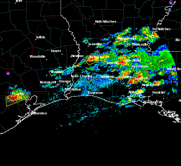 At 634 pm cdt, a severe thunderstorm was located over breaux bridge, moving east at 15 mph (radar indicated). Hazards include 60 mph wind gusts and quarter size hail. Hail damage to vehicles is expected. Expect wind damage to roofs, siding and trees. At 634 pm cdt, a severe thunderstorm was located over breaux bridge, moving east at 15 mph (radar indicated). Hazards include 60 mph wind gusts and quarter size hail. Hail damage to vehicles is expected. Expect wind damage to roofs, siding and trees.
|
| 2/23/2016 1:05 PM CST |
 At 105 pm cst, a severe thunderstorm was located near lafayette, moving east at 40 mph (radar indicated). Hazards include 60 mph wind gusts and penny size hail. Expect damage to roofs. siding and trees. locations impacted include, lafayette, catahoula, scott, breaux bridge, carencro, st. martinville, broussard, henderson, cecilia, lake pelba, atchafalaya national wildlife refuge, butte la rose and parks. A tornado watch remains in effect until 500 pm cst for southwestern louisiana. At 105 pm cst, a severe thunderstorm was located near lafayette, moving east at 40 mph (radar indicated). Hazards include 60 mph wind gusts and penny size hail. Expect damage to roofs. siding and trees. locations impacted include, lafayette, catahoula, scott, breaux bridge, carencro, st. martinville, broussard, henderson, cecilia, lake pelba, atchafalaya national wildlife refuge, butte la rose and parks. A tornado watch remains in effect until 500 pm cst for southwestern louisiana.
|
| 2/23/2016 12:54 PM CST |
 At 1254 pm cst, a severe thunderstorm was located over scott, moving east at 40 mph (radar indicated). Hazards include 60 mph wind gusts and penny size hail. Expect damage to roofs. Siding and trees. At 1254 pm cst, a severe thunderstorm was located over scott, moving east at 40 mph (radar indicated). Hazards include 60 mph wind gusts and penny size hail. Expect damage to roofs. Siding and trees.
|
| 1/9/2016 1:03 AM CST |
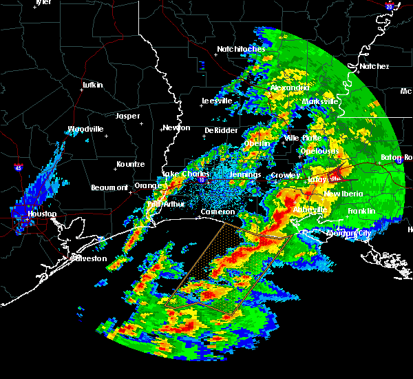 At 103 am cst, a severe thunderstorm capable of producing a tornado was located over butte la rose, or near catahoula, moving northeast at 35 mph (radar indicated rotation). Hazards include tornado and quarter size hail. Flying debris will be dangerous to those caught without shelter. mobile homes will be damaged or destroyed. damage to roofs, windows and vehicles will occur. tree damage is likely. this tornadic thunderstorm will remain over mainly rural areas of north central st. Martin parish. At 103 am cst, a severe thunderstorm capable of producing a tornado was located over butte la rose, or near catahoula, moving northeast at 35 mph (radar indicated rotation). Hazards include tornado and quarter size hail. Flying debris will be dangerous to those caught without shelter. mobile homes will be damaged or destroyed. damage to roofs, windows and vehicles will occur. tree damage is likely. this tornadic thunderstorm will remain over mainly rural areas of north central st. Martin parish.
|
| 1/9/2016 12:49 AM CST |
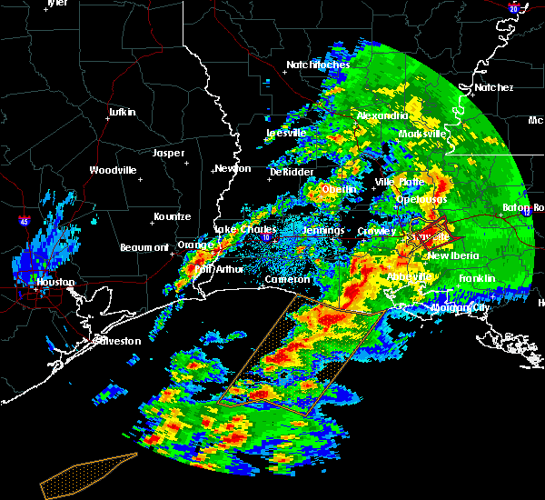 At 1249 am cst, a severe thunderstorm capable of producing a tornado was located near catahoula, moving northeast at 35 mph (radar indicated rotation). Hazards include tornado and quarter size hail. Flying debris will be dangerous to those caught without shelter. mobile homes will be damaged or destroyed. damage to roofs, windows and vehicles will occur. tree damage is likely. this dangerous storm will be near, butte la rose and lake pelba around 100 am cst. Other locations impacted by this tornadic thunderstorm include parks. At 1249 am cst, a severe thunderstorm capable of producing a tornado was located near catahoula, moving northeast at 35 mph (radar indicated rotation). Hazards include tornado and quarter size hail. Flying debris will be dangerous to those caught without shelter. mobile homes will be damaged or destroyed. damage to roofs, windows and vehicles will occur. tree damage is likely. this dangerous storm will be near, butte la rose and lake pelba around 100 am cst. Other locations impacted by this tornadic thunderstorm include parks.
|
| 6/9/2015 1:42 PM CDT |
 At 141 pm cdt, doppler radar indicated a line of severe thunderstorms capable of producing quarter size hail and damaging winds in excess of 60 mph. these storms were located along a line extending from near henderson to near lake fausse pointe to 11 miles northeast of charenton, and moving south at 20 mph. At 141 pm cdt, doppler radar indicated a line of severe thunderstorms capable of producing quarter size hail and damaging winds in excess of 60 mph. these storms were located along a line extending from near henderson to near lake fausse pointe to 11 miles northeast of charenton, and moving south at 20 mph.
|
| 5/27/2015 9:51 AM CDT | At 950 am cdt, doppler radar indicated a line of severe thunderstorms capable of producing damaging winds in excess of 60 mph. these storms were located along a line extending from near bayou sorrel to near glencoe to 10 miles south of cypremort point, moving east at 55 mph. penny size hail may also accompany the damaging winds. locations impacted include, new iberia, morgan city, catahoula, franklin, patterson, jeanerette, berwick, bayou vista, stephensville, cypremort point, burns point, avery island, baldwin, loreauville, charenton, cote blanche island, amelia, patterson memorial airport, lydia and sorrel. |
| 5/27/2015 9:28 AM CDT | At 927 am cdt, doppler radar indicated a line of severe thunderstorms capable of producing damaging winds in excess of 60 mph. these storms were located along a line extending from near butte la rose to near freshwater city, and moving southeast at 40 mph. penny size hail may also accompany the damaging winds. |
| 5/27/2015 8:59 AM CDT | At 858 am cdt, doppler radar indicated a line of severe thunderstorms capable of producing damaging winds in excess of 60 mph. these storms were located along a line extending from near krotz springs to near forked island, moving east at 30 mph. penny size hail may also accompany the damaging winds. locations impacted include, lafayette, new iberia, opelousas, abbeville, catahoula, scott, breaux bridge, carencro, st. martinville, kaplan, krotz springs, leonville, arnaudville, melville, palmetto, forked island, pecan island, intracoastal city, avery island and freshwater city. |
| 5/27/2015 8:32 AM CDT | At 831 am cdt, doppler radar indicated a line of severe thunderstorms capable of producing damaging winds in excess of 60 mph. these storms were located along a line extending from near palmetto to near wright, and moving east at 40 mph. penny size hail may also accompany the damaging winds. |
| 5/24/2015 5:28 PM CDT | At 527 pm cdt, doppler radar indicated a line of severe thunderstorms located along a line extending from lake pelba to near glencoe, and moving east at 15 mph. |
| 4/27/2015 8:51 AM CDT | At 850 am cdt, doppler radar indicated a line of severe thunderstorms capable of producing quarter size hail and damaging winds in excess of 60 mph. these storms were located along a line extending from near fort adams to near st. francisville to near erwinville to near ramah to 9 miles southeast of catahoula to near jeanerette to near cypremort point to 16 miles south of freshwater city, and moving east at 60 mph. |
| 4/27/2015 8:01 AM CDT | At 801 am cdt, doppler radar indicated a line of severe thunderstorms capable of producing damaging winds in excess of 60 mph. these storms were located along a line extending from near alexandria international airport to near whiteville to near lyons point, and moving east at 55 mph. |
| 4/25/2015 11:27 AM CDT | At 1126 am cdt, doppler radar indicated a line of severe thunderstorms capable of producing quarter size hail and damaging winds in excess of 60 mph. these storms were located along a line extending from near ramah to 7 miles northeast of lake fausse pointe to avery island, and moving east at 40 mph. |
| 4/25/2015 11:12 AM CDT | At 1112 am cdt, doppler radar indicated a line of severe thunderstorms capable of producing quarter size hail and damaging winds in excess of 60 mph. these storms were located along a line extending from near atchafalaya national wildlife refuge to near loreauville to erath, moving southeast at 30 mph. locations impacted include, lafayette, new iberia, abbeville, catahoula, scott, breaux bridge, carencro, st. martinville, jeanerette, kaplan, krotz springs, leonville, arnaudville, broussard, youngsville, sunset, erath, port barre, duson and henderson. |
| 4/25/2015 10:42 AM CDT | At 1042 am cdt, doppler radar indicated a line of severe thunderstorms capable of producing quarter size hail and damaging winds in excess of 60 mph. these storms were located along a line extending from near grand coteau to near breaux bridge to wright, and moving east at 40 mph. |
| 4/24/2015 3:40 PM CDT | Baseball sized hail reported 0.3 miles WSW of Catahoula, LA, several public photos of tennis ball to baseball sized hail in catahoula |
| 4/24/2015 3:36 PM CDT | At 333 pm cdt, doppler radar indicated a severe thunderstorm capable of producing half dollar size hail. this storm was located near butte la rose, or near catahoula, moving east at 35 mph. in addition, at 3:23 pm half dollar size hail was reported in breaux bridge. locations impacted include, catahoula, lake pelba and butte la rose. a tornado watch remains in effect until 600 pm cdt for south central louisiana. |
| 4/24/2015 3:09 PM CDT | At 309 pm cdt, doppler radar indicated a severe thunderstorm capable of producing quarter size hail. this storm was located over breaux bridge, and moving east at 35 mph. |
| 4/19/2015 11:52 PM CDT | At 1149 pm cdt, doppler radar indicated a large area of strong winds of 50 to 70 mph with light to moderate rain across eastern jeff davis and northern vermilion parishes. this area will continue to move east at 40 mph, and affect the remainder of south central louisiana for the next hour and a half. |
| 4/19/2015 11:52 PM CDT | At 1149 pm cdt, doppler radar indicated a large area of strong winds of 50 to 70 mph with light to moderate rain across eastern jeff davis and northern vermilion parishes. this area will continue to move east at 40 mph, and affect the remainder of south central louisiana for the next hour and a half. |
| 4/19/2015 11:52 PM CDT | At 1149 pm cdt, doppler radar indicated a large area of strong winds of 50 to 70 mph with light to moderate rain across eastern jeff davis and northern vermilion parishes. this area will continue to move east at 40 mph, and affect the remainder of south central louisiana for the next hour and a half. |
Hail Maps for Catahoula, LA


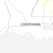


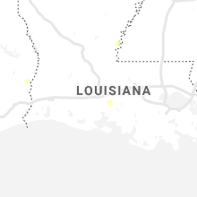


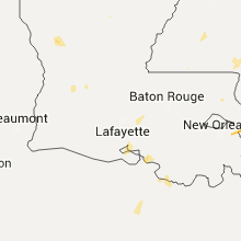


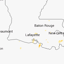


Connect with Interactive Hail Maps