

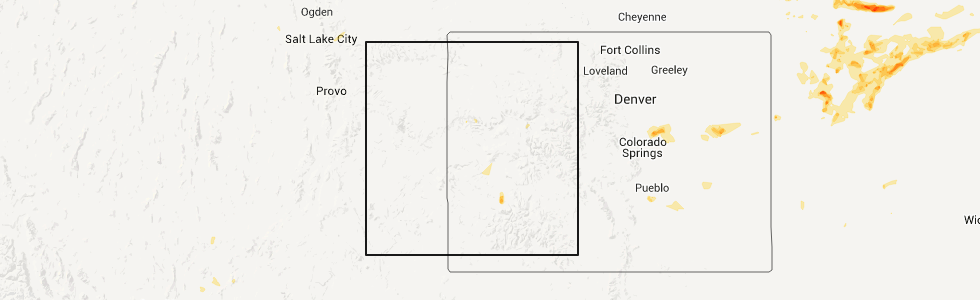
Hail Map for Cattle Creek, CO
The Cattle Creek, CO area has had 0 reports of on-the-ground hail by trained spotters, and has been under severe weather warnings 0 times during the past 12 months. Doppler radar has detected hail at or near Cattle Creek, CO on 1 occasion.
| Name: | Cattle Creek, CO |
| Where Located: | 74.1 miles SSE of Craig, CO |
| Map: | Google Map for Cattle Creek, CO |
| Population: | 641 |
| Housing Units: | 190 |
| More Info: | Search Google for Cattle Creek, CO |
0
The Top Recent Hail Date for Cattle Creek, CO is Sunday, July 10, 2011 (1st out of 1)
Hail and Wind Damage Spotted near Cattle Creek, CO
| Date / Time | Report Details |
|---|---|
| 10/4/2018 11:30 AM MDT |
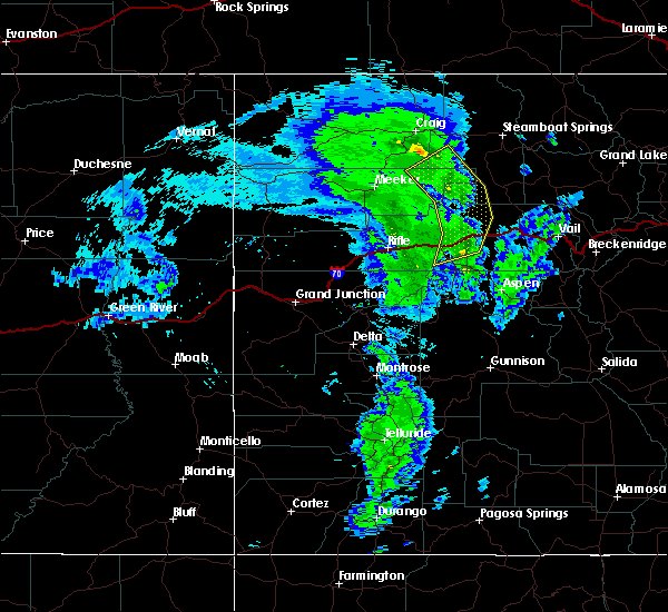 At 1130 am mdt, severe thunderstorms were located along a line extending from 24 miles south of hayden to 21 miles southwest of yampa to 11 miles northwest of gypsum to 6 miles east of glenwood springs, moving northeast at 45 mph (radar indicated). Hazards include 60 mph wind gusts. Expect damage to roofs, siding, and trees. locations impacted include, glenwood springs, gypsum, dotsero, shoshone, sweetwater and cattle creek. this includes the following highways, interstate 70 in colorado between mile markers 116 and 140. Colorado 82 between mile markers 1 and 9. At 1130 am mdt, severe thunderstorms were located along a line extending from 24 miles south of hayden to 21 miles southwest of yampa to 11 miles northwest of gypsum to 6 miles east of glenwood springs, moving northeast at 45 mph (radar indicated). Hazards include 60 mph wind gusts. Expect damage to roofs, siding, and trees. locations impacted include, glenwood springs, gypsum, dotsero, shoshone, sweetwater and cattle creek. this includes the following highways, interstate 70 in colorado between mile markers 116 and 140. Colorado 82 between mile markers 1 and 9.
|
| 10/4/2018 11:06 AM MDT |
 At 1105 am mdt, severe thunderstorms were located along a line extending from 9 miles east of meeker to 21 miles northwest of glenwood springs to near new castle to 13 miles southeast of silt, moving northeast at 45 mph (numerous observations of 60-70 mph winds have been reported with these storms). Hazards include 60 mph wind gusts. expect damage to roofs, siding, and trees At 1105 am mdt, severe thunderstorms were located along a line extending from 9 miles east of meeker to 21 miles northwest of glenwood springs to near new castle to 13 miles southeast of silt, moving northeast at 45 mph (numerous observations of 60-70 mph winds have been reported with these storms). Hazards include 60 mph wind gusts. expect damage to roofs, siding, and trees
|
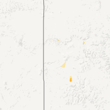
Hail Maps for Cattle Creek, CO
Connect with Interactive Hail Maps