

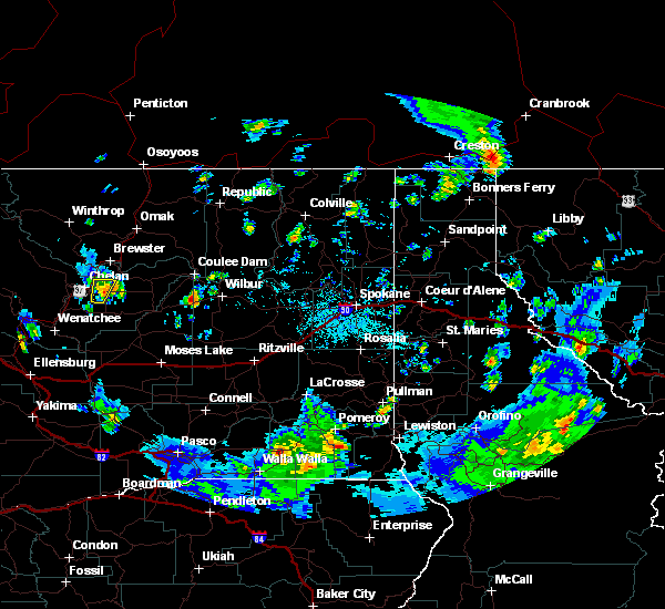
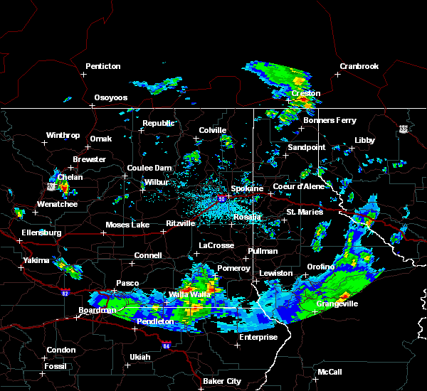
Hail Map for Chelan, WA
The Chelan, WA area has had 1 report of on-the-ground hail by trained spotters, and has been under severe weather warnings 0 times during the past 12 months. Doppler radar has detected hail at or near Chelan, WA on 3 occasions.
| Name: | Chelan, WA |
| Where Located: | 45.5 miles SSW of Omak, WA |
| Map: | Google Map for Chelan, WA |
| Population: | 3890 |
| Housing Units: | 2516 |
| More Info: | Search Google for Chelan, WA |
0
The Top Recent Hail Date for Chelan, WA is Saturday, August 10, 2019 (3rd out of 3)

Hail and Wind Damage Spotted near Chelan, WA
| Date / Time | Report Details |
|---|---|
| 11/15/2021 9:37 PM PST | Report from mping: 1-inch tree limbs broken; shingles blown of in chelan county WA, 0.6 miles SW of Chelan, WA |
| 11/15/2021 9:22 PM PST | Report from mping: 1-inch tree limbs broken; shingles blown of in chelan county WA, 0.6 miles SW of Chelan, WA |
| 8/10/2019 3:26 PM PDT |
 At 304 pm pdt, a severe thunderstorm was located 8 miles east of chelan, or 34 miles northeast of wenatchee, moving north at 15 mph (radar indicated). Hazards include 60 mph wind gusts and quarter size hail. Hail damage to vehicles is expected. expect wind damage to roofs, siding, and trees. This severe thunderstorm will remain over mainly rural areas of central douglas and eastern chelan counties. At 304 pm pdt, a severe thunderstorm was located 8 miles east of chelan, or 34 miles northeast of wenatchee, moving north at 15 mph (radar indicated). Hazards include 60 mph wind gusts and quarter size hail. Hail damage to vehicles is expected. expect wind damage to roofs, siding, and trees. This severe thunderstorm will remain over mainly rural areas of central douglas and eastern chelan counties.
|
| 8/10/2019 3:04 PM PDT |
 At 304 pm pdt, a severe thunderstorm was located 8 miles east of chelan, or 34 miles northeast of wenatchee, moving north at 15 mph (radar indicated). Hazards include 60 mph wind gusts and quarter size hail. Hail damage to vehicles is expected. expect wind damage to roofs, siding, and trees. This severe thunderstorm will remain over mainly rural areas of central douglas and eastern chelan counties. At 304 pm pdt, a severe thunderstorm was located 8 miles east of chelan, or 34 miles northeast of wenatchee, moving north at 15 mph (radar indicated). Hazards include 60 mph wind gusts and quarter size hail. Hail damage to vehicles is expected. expect wind damage to roofs, siding, and trees. This severe thunderstorm will remain over mainly rural areas of central douglas and eastern chelan counties.
|
| 5/29/2015 3:12 PM PDT | Quarter sized hail reported 2.8 miles E of Chelan, WA, hail increased from dimes to quarters. denting cars in manson area. |
| 5/29/2015 3:03 PM PDT | At 301 pm pdt, doppler radar indicated a severe thunderstorm capable of producing pennie to quarter size hail. this storm was located near chelan, or 30 miles north of wenatchee, moving east at 15 mph. this storm is likely producing torrential rains which could lead to flash flooding, especially in steep drainages. this will impact southern reaches of lake chelan. locations impacted include, chelan, lake chelan state park, manson, chelan falls and azwell. |
| 5/29/2015 2:54 PM PDT | At 253 pm pdt, doppler radar indicated a severe thunderstorm capable of producing quarter size hail and damaging winds near 60 mph. torrential rain is also possible with this storm. this storm was located 8 miles west of chelan, or 30 miles north of wenatchee, and moving east at 15 mph. |
| 8/10/2013 11:45 PM PDT | Chelan county pud reported numerous trees on power lines and power poles broken on the southern end of lake chela in chelan county WA, 1.8 miles ESE of Chelan, WA |
| 8/10/2013 11:00 PM PDT | Chelan county pud reported numerous trees on power lines and power poles broken on the southern end of lake chela in chelan county WA, 1.8 miles ESE of Chelan, WA |
Hail Maps for Chelan, WA


Connect with Interactive Hail Maps