

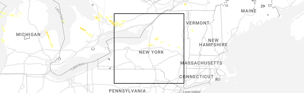
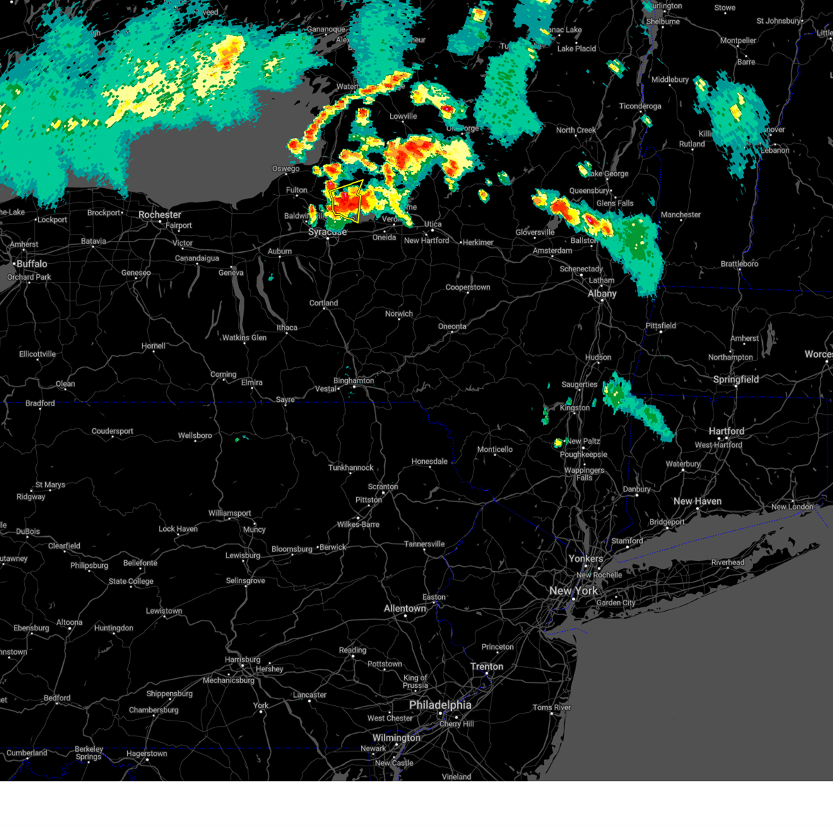
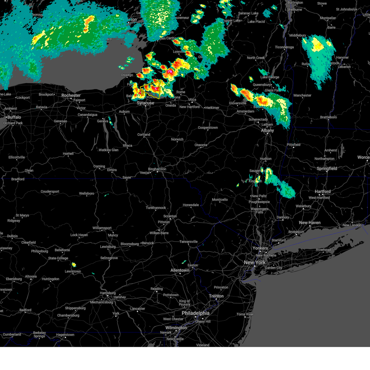
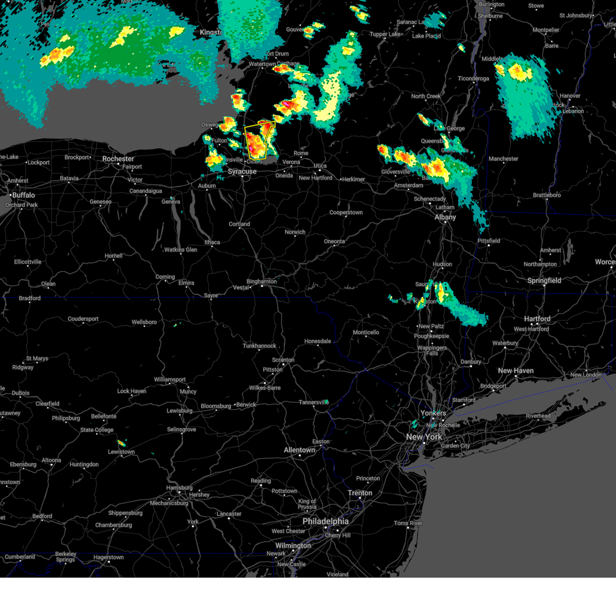
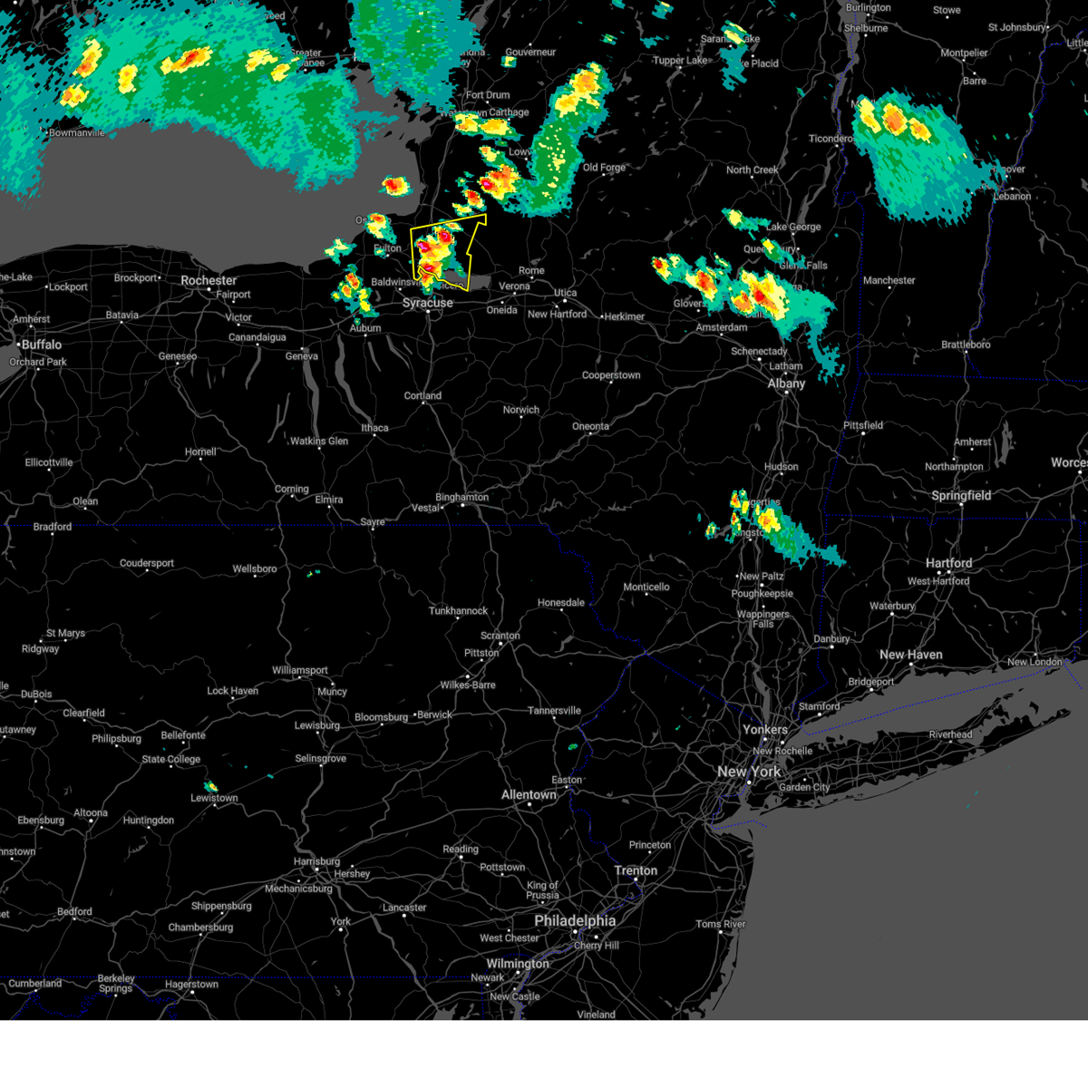
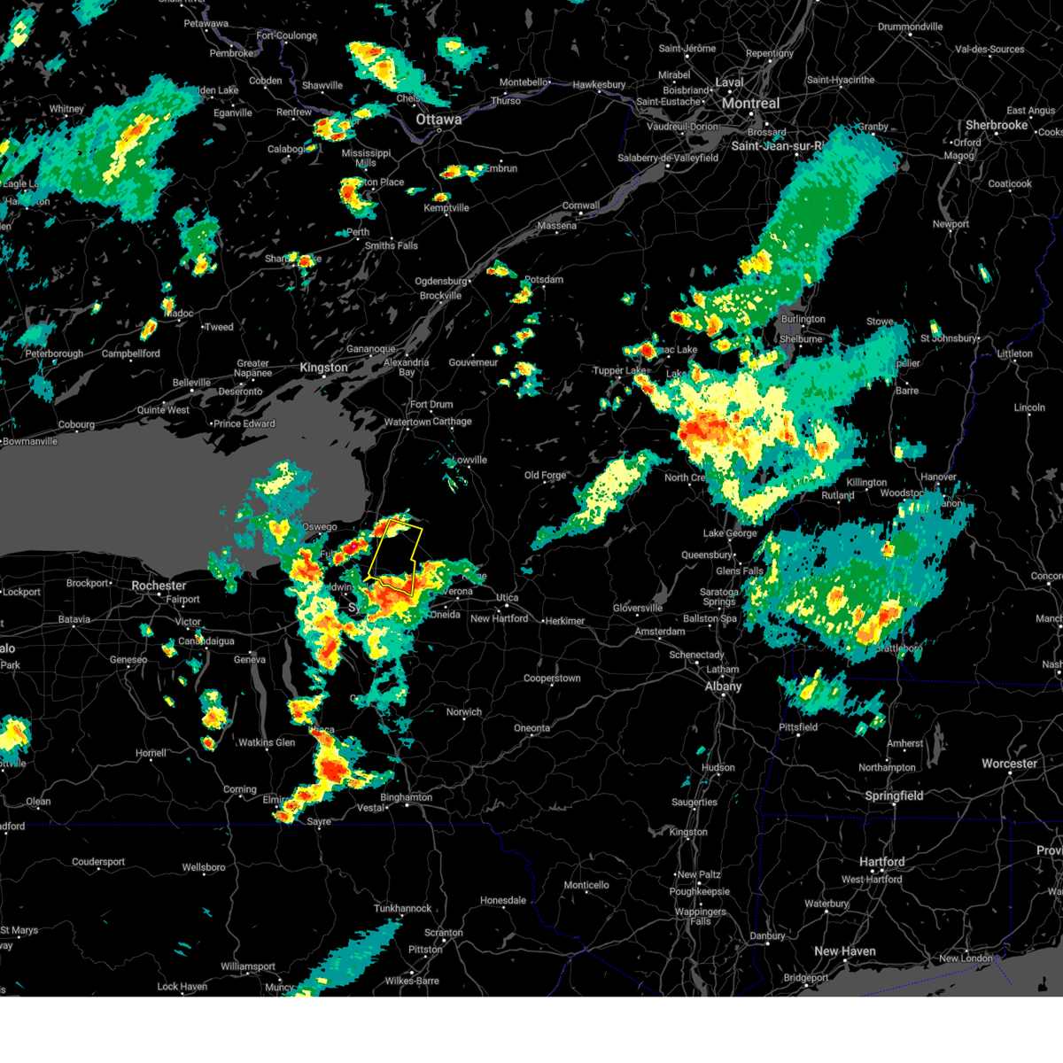
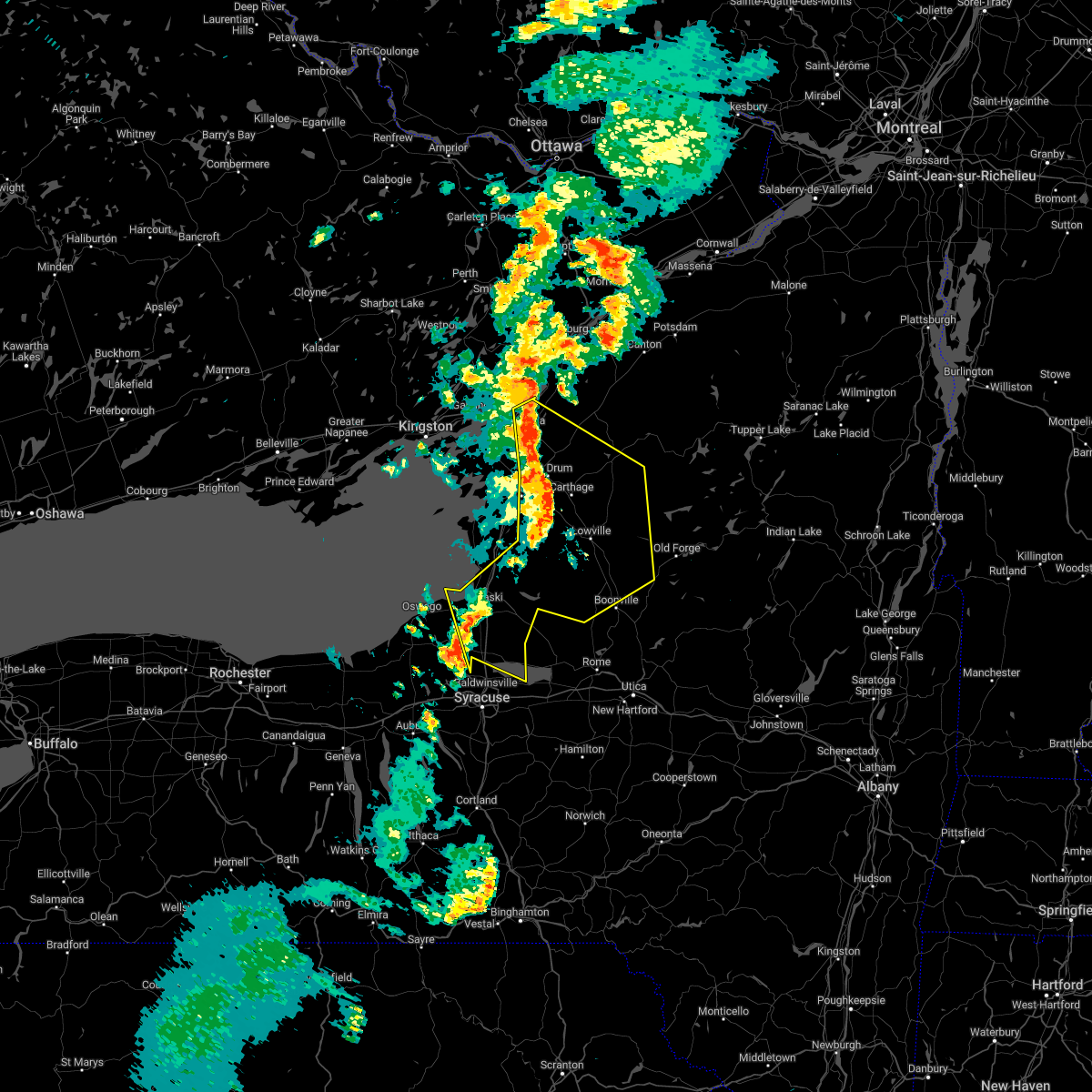
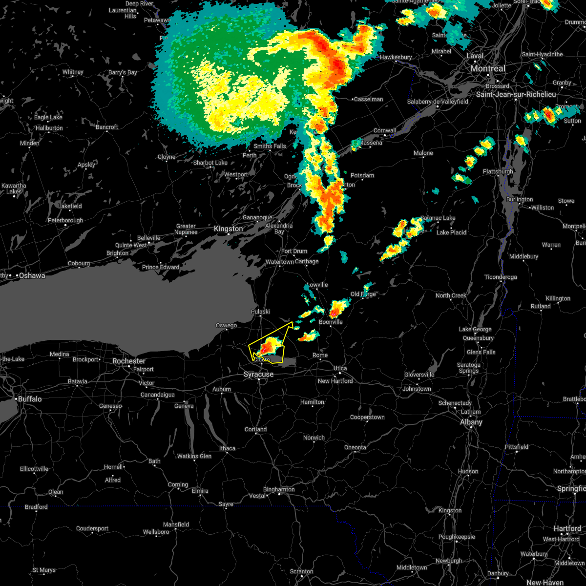
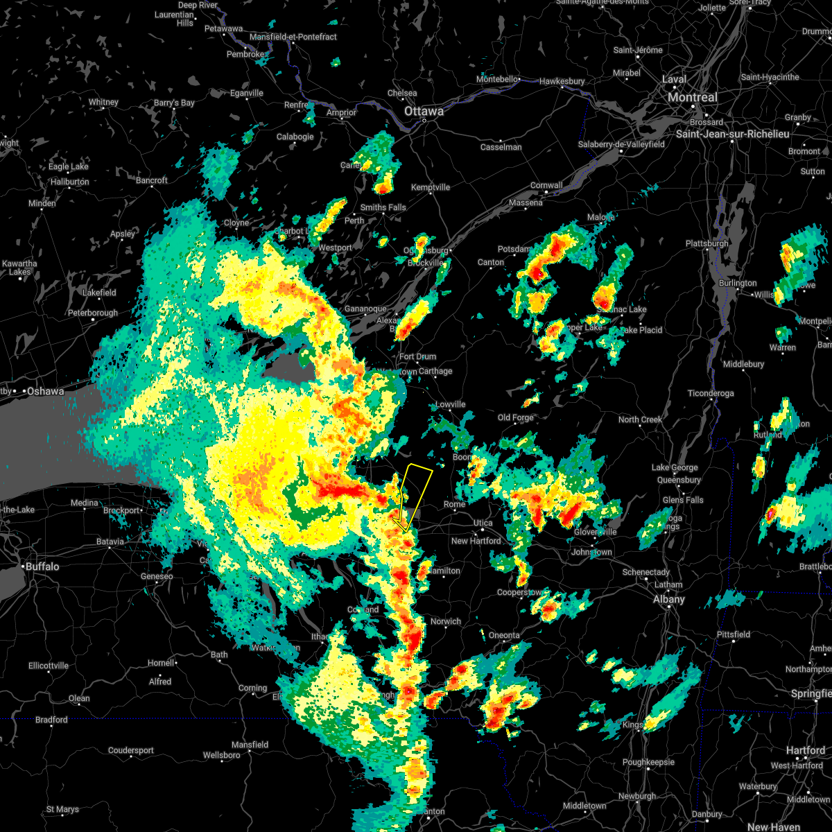
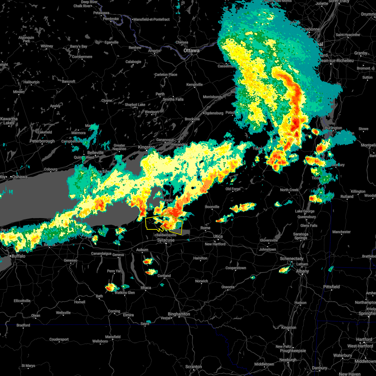
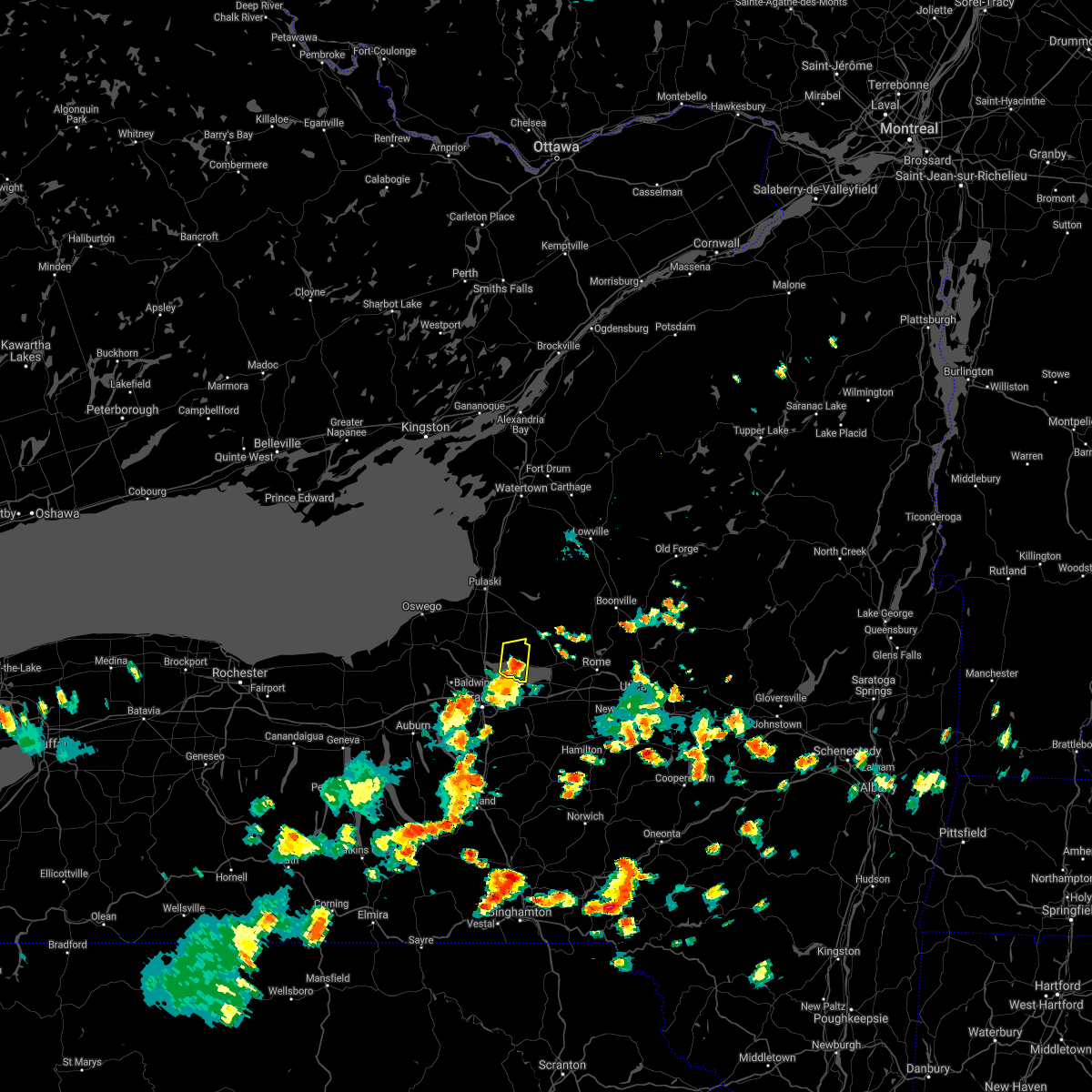
Hail Map for Cleveland, NY
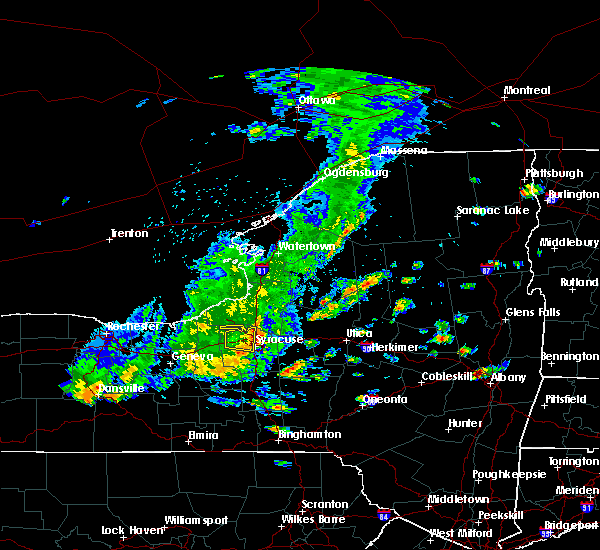
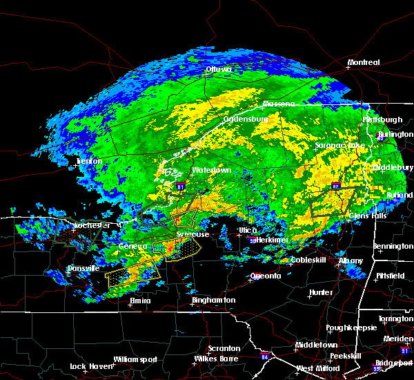
The Cleveland, NY area has had 0 reports of on-the-ground hail by trained spotters, and has been under severe weather warnings 22 times during the past 12 months. Doppler radar has detected hail at or near Cleveland, NY on 23 occasions, including 1 occasion during the past year.
| Name: | Cleveland, NY |
| Where Located: | 18.7 miles NE of Syracuse, NY |
| Map: | Google Map for Cleveland, NY |
| Population: | 750 |
| Housing Units: | 324 |
| More Info: | Search Google for Cleveland, NY |
0
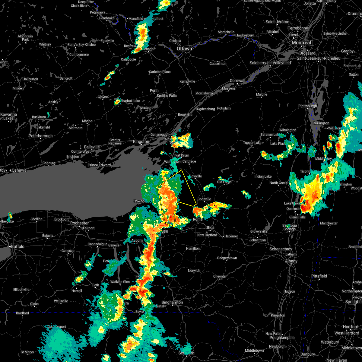
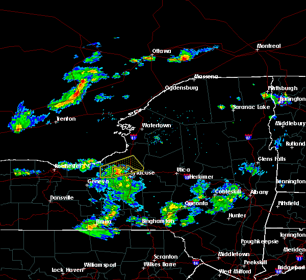
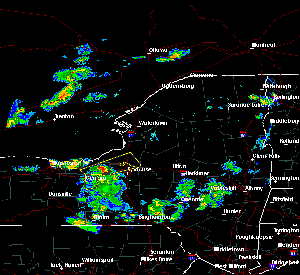
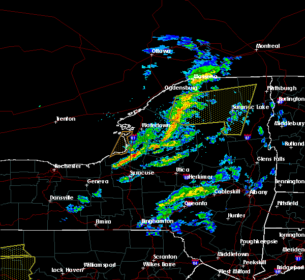
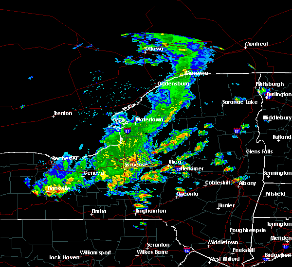
The Top Recent Hail Date for Cleveland, NY is Thursday, August 3, 2023 (18th out of 23)
Hail and Wind Damage Spotted near Cleveland, NY
| Date / Time | Report Details |
|---|---|
| 9/7/2023 7:23 PM EDT | Tree down on marsh roa in oneida county NY, 4.9 miles SW of Cleveland, NY |
| 9/7/2023 7:13 PM EDT |
 At 713 pm edt, a severe thunderstorm was located 7 miles north of central square, or 16 miles east of fulton, moving northeast at 35 mph (radar indicated). Hazards include 60 mph wind gusts. Expect damage to roofs, siding, and trees. locations impacted include, oswego, fulton, sandy island beach state park, pulaski, central square, redfield, selkirk shores state park, mexico point state park, nine mile point, and battle island state park. this includes interstate 81 between exits 32 and 36. hail threat, radar indicated max hail size, <. 75 in wind threat, radar indicated max wind gust, 60 mph. At 713 pm edt, a severe thunderstorm was located 7 miles north of central square, or 16 miles east of fulton, moving northeast at 35 mph (radar indicated). Hazards include 60 mph wind gusts. Expect damage to roofs, siding, and trees. locations impacted include, oswego, fulton, sandy island beach state park, pulaski, central square, redfield, selkirk shores state park, mexico point state park, nine mile point, and battle island state park. this includes interstate 81 between exits 32 and 36. hail threat, radar indicated max hail size, <. 75 in wind threat, radar indicated max wind gust, 60 mph.
|
| 9/7/2023 7:01 PM EDT |
 At 701 pm edt, a severe thunderstorm was located over verona beach, or 8 miles north of oneida, moving northeast at 30 mph (radar indicated). Hazards include 60 mph wind gusts. Expect damage to roofs, siding, and trees. locations impacted include, rome, oneida, lenox, verona, vienna, canastota, sherrill, camden, vernon, and sylvan beach. hail threat, radar indicated max hail size, <. 75 in wind threat, radar indicated max wind gust, 60 mph. At 701 pm edt, a severe thunderstorm was located over verona beach, or 8 miles north of oneida, moving northeast at 30 mph (radar indicated). Hazards include 60 mph wind gusts. Expect damage to roofs, siding, and trees. locations impacted include, rome, oneida, lenox, verona, vienna, canastota, sherrill, camden, vernon, and sylvan beach. hail threat, radar indicated max hail size, <. 75 in wind threat, radar indicated max wind gust, 60 mph.
|
| 9/7/2023 6:47 PM EDT |
 At 647 pm edt, a severe thunderstorm was located over canastota, or near oneida, moving northeast at 25 mph (radar indicated). Hazards include 60 mph wind gusts. expect damage to roofs, siding, and trees At 647 pm edt, a severe thunderstorm was located over canastota, or near oneida, moving northeast at 25 mph (radar indicated). Hazards include 60 mph wind gusts. expect damage to roofs, siding, and trees
|
| 9/7/2023 6:33 PM EDT |
 At 632 pm edt, a severe thunderstorm was located near jordan, or near baldwinsville, moving north at 35 mph (radar indicated). Hazards include 60 mph wind gusts. expect damage to roofs, siding, and trees At 632 pm edt, a severe thunderstorm was located near jordan, or near baldwinsville, moving north at 35 mph (radar indicated). Hazards include 60 mph wind gusts. expect damage to roofs, siding, and trees
|
| 8/7/2023 7:08 PM EDT |
 At 708 pm edt, severe thunderstorms were located along a line extending from near pulaski to near brewerton to near skaneateles, moving northeast at 30 mph (radar indicated). Hazards include 60 mph wind gusts and penny size hail. expect damage to roofs, siding, and trees At 708 pm edt, severe thunderstorms were located along a line extending from near pulaski to near brewerton to near skaneateles, moving northeast at 30 mph (radar indicated). Hazards include 60 mph wind gusts and penny size hail. expect damage to roofs, siding, and trees
|
| 8/3/2023 10:15 PM EDT |
 At 1015 pm edt, a severe thunderstorm was located 7 miles north of bridgeport, or 10 miles southwest of camden, moving east at 20 mph (radar indicated). Hazards include 60 mph wind gusts and nickel size hail. Expect damage to roofs, siding, and trees. locations impacted include, constantia, cleveland, and bernhards bay. hail threat, radar indicated max hail size, 0. 88 in wind threat, radar indicated max wind gust, 60 mph. At 1015 pm edt, a severe thunderstorm was located 7 miles north of bridgeport, or 10 miles southwest of camden, moving east at 20 mph (radar indicated). Hazards include 60 mph wind gusts and nickel size hail. Expect damage to roofs, siding, and trees. locations impacted include, constantia, cleveland, and bernhards bay. hail threat, radar indicated max hail size, 0. 88 in wind threat, radar indicated max wind gust, 60 mph.
|
| 8/3/2023 9:57 PM EDT |
 The severe thunderstorm warning for northwestern oneida county will expire at 1000 pm edt, the storm which prompted the warning has weakened below severe limits, and no longer poses an immediate threat to life or property. therefore, the warning will be allowed to expire. The severe thunderstorm warning for northwestern oneida county will expire at 1000 pm edt, the storm which prompted the warning has weakened below severe limits, and no longer poses an immediate threat to life or property. therefore, the warning will be allowed to expire.
|
| 8/3/2023 9:56 PM EDT |
 At 955 pm edt, a severe thunderstorm was located near brewerton, or 14 miles northeast of baldwinsville, moving east at 20 mph (radar indicated). Hazards include 60 mph wind gusts and half dollar size hail. Hail damage to vehicles is expected. Expect wind damage to roofs, siding, and trees. At 955 pm edt, a severe thunderstorm was located near brewerton, or 14 miles northeast of baldwinsville, moving east at 20 mph (radar indicated). Hazards include 60 mph wind gusts and half dollar size hail. Hail damage to vehicles is expected. Expect wind damage to roofs, siding, and trees.
|
| 8/3/2023 9:36 PM EDT |
 At 935 pm edt, a severe thunderstorm was located 9 miles west of camden, moving east at 30 mph (radar indicated). Hazards include 60 mph wind gusts and quarter size hail. Hail damage to vehicles is expected. expect wind damage to roofs, siding, and trees. locations impacted include, constantia, west monroe, cleveland, bernhards bay, amboy center, mallory, gayville, lower south bay, and lakeport. hail threat, radar indicated max hail size, 1. 00 in wind threat, radar indicated max wind gust, 60 mph. At 935 pm edt, a severe thunderstorm was located 9 miles west of camden, moving east at 30 mph (radar indicated). Hazards include 60 mph wind gusts and quarter size hail. Hail damage to vehicles is expected. expect wind damage to roofs, siding, and trees. locations impacted include, constantia, west monroe, cleveland, bernhards bay, amboy center, mallory, gayville, lower south bay, and lakeport. hail threat, radar indicated max hail size, 1. 00 in wind threat, radar indicated max wind gust, 60 mph.
|
| 8/3/2023 9:27 PM EDT |
 At 926 pm edt, a severe thunderstorm was located over camden, moving east at 25 mph (radar indicated). Hazards include 60 mph wind gusts. Expect damage to roofs, siding, and trees. locations impacted include, rome, lee, vienna, camden, florence, taberg, blossvale, point rock, jewell and glenmore. hail threat, radar indicated max hail size, <. 75 in wind threat, radar indicated max wind gust, 60 mph. At 926 pm edt, a severe thunderstorm was located over camden, moving east at 25 mph (radar indicated). Hazards include 60 mph wind gusts. Expect damage to roofs, siding, and trees. locations impacted include, rome, lee, vienna, camden, florence, taberg, blossvale, point rock, jewell and glenmore. hail threat, radar indicated max hail size, <. 75 in wind threat, radar indicated max wind gust, 60 mph.
|
| 8/3/2023 9:16 PM EDT |
 At 916 pm edt, a severe thunderstorm was located over central square, or 12 miles northeast of baldwinsville, moving east at 30 mph (radar indicated). Hazards include 60 mph wind gusts and quarter size hail. Hail damage to vehicles is expected. Expect wind damage to roofs, siding, and trees. At 916 pm edt, a severe thunderstorm was located over central square, or 12 miles northeast of baldwinsville, moving east at 30 mph (radar indicated). Hazards include 60 mph wind gusts and quarter size hail. Hail damage to vehicles is expected. Expect wind damage to roofs, siding, and trees.
|
| 8/3/2023 9:00 PM EDT |
 At 900 pm edt, a severe thunderstorm was located 8 miles east of central square, or 11 miles west of camden, moving east at 20 mph (radar indicated). Hazards include 60 mph wind gusts and quarter size hail. Hail damage to vehicles is expected. Expect wind damage to roofs, siding, and trees. At 900 pm edt, a severe thunderstorm was located 8 miles east of central square, or 11 miles west of camden, moving east at 20 mph (radar indicated). Hazards include 60 mph wind gusts and quarter size hail. Hail damage to vehicles is expected. Expect wind damage to roofs, siding, and trees.
|
| 8/3/2023 8:56 PM EDT |
 At 854 pm edt, severe thunderstorms were located from williamstown to constantia, moving east at 30 mph (radar indicated). Hazards include 60 mph wind gusts and nickel size hail. Expect damage to roofs, siding, and trees. locations impacted include, constantia, west monroe, williamstown, cleveland, kasoag, bernhards bay, amboy center, howardville, and gayville. hail threat, radar indicated max hail size, 0. 88 in wind threat, radar indicated max wind gust, 60 mph. At 854 pm edt, severe thunderstorms were located from williamstown to constantia, moving east at 30 mph (radar indicated). Hazards include 60 mph wind gusts and nickel size hail. Expect damage to roofs, siding, and trees. locations impacted include, constantia, west monroe, williamstown, cleveland, kasoag, bernhards bay, amboy center, howardville, and gayville. hail threat, radar indicated max hail size, 0. 88 in wind threat, radar indicated max wind gust, 60 mph.
|
| 8/3/2023 8:36 PM EDT |
 At 836 pm edt, a severe thunderstorm was located 10 miles southwest of redfield, or 10 miles northwest of camden, moving east at 30 mph (radar indicated). Hazards include 60 mph wind gusts and nickel size hail. expect damage to roofs, siding, and trees At 836 pm edt, a severe thunderstorm was located 10 miles southwest of redfield, or 10 miles northwest of camden, moving east at 30 mph (radar indicated). Hazards include 60 mph wind gusts and nickel size hail. expect damage to roofs, siding, and trees
|
| 7/24/2023 4:10 PM EDT |
 At 410 pm edt, a severe thunderstorm was located 7 miles west of sylvan beach, or 9 miles southwest of camden, moving northeast at 25 mph (radar indicated). Hazards include 60 mph wind gusts and nickel size hail. Expect damage to roofs, siding, and trees. locations impacted include, rome, vienna, camden, sylvan beach, verona beach, blossvale, lakeport, jewell and verona beach state park. hail threat, radar indicated max hail size, 0. 88 in wind threat, radar indicated max wind gust, 60 mph. At 410 pm edt, a severe thunderstorm was located 7 miles west of sylvan beach, or 9 miles southwest of camden, moving northeast at 25 mph (radar indicated). Hazards include 60 mph wind gusts and nickel size hail. Expect damage to roofs, siding, and trees. locations impacted include, rome, vienna, camden, sylvan beach, verona beach, blossvale, lakeport, jewell and verona beach state park. hail threat, radar indicated max hail size, 0. 88 in wind threat, radar indicated max wind gust, 60 mph.
|
| 7/24/2023 4:00 PM EDT |
 At 359 pm edt, a severe thunderstorm was located 7 miles north of bridgeport, or 12 miles southwest of camden, moving northeast at 35 mph (radar indicated). Hazards include 60 mph wind gusts. Expect damage to roofs, siding, and trees. locations impacted include, oneida lake, central square, constantia, west monroe, williamstown, cleveland, altmar, amboy center, and mallory. this includes interstate 81 near exit 32. hail threat, radar indicated max hail size, <. 75 in wind threat, radar indicated max wind gust, 60 mph. At 359 pm edt, a severe thunderstorm was located 7 miles north of bridgeport, or 12 miles southwest of camden, moving northeast at 35 mph (radar indicated). Hazards include 60 mph wind gusts. Expect damage to roofs, siding, and trees. locations impacted include, oneida lake, central square, constantia, west monroe, williamstown, cleveland, altmar, amboy center, and mallory. this includes interstate 81 near exit 32. hail threat, radar indicated max hail size, <. 75 in wind threat, radar indicated max wind gust, 60 mph.
|
| 7/24/2023 3:35 PM EDT |
 At 334 pm edt, a severe thunderstorm was located near lyndon, or near syracuse, moving northeast at 25 mph (radar indicated). Hazards include 60 mph wind gusts and quarter size hail. Hail damage to vehicles is expected. Expect wind damage to roofs, siding, and trees. At 334 pm edt, a severe thunderstorm was located near lyndon, or near syracuse, moving northeast at 25 mph (radar indicated). Hazards include 60 mph wind gusts and quarter size hail. Hail damage to vehicles is expected. Expect wind damage to roofs, siding, and trees.
|
| 7/24/2023 3:35 PM EDT |
 At 334 pm edt, a severe thunderstorm was located near syracuse, moving northeast at 35 mph (radar indicated). Hazards include 60 mph wind gusts and quarter size hail. Hail damage to vehicles is expected. Expect wind damage to roofs, siding, and trees. At 334 pm edt, a severe thunderstorm was located near syracuse, moving northeast at 35 mph (radar indicated). Hazards include 60 mph wind gusts and quarter size hail. Hail damage to vehicles is expected. Expect wind damage to roofs, siding, and trees.
|
| 7/24/2023 1:59 PM EDT |
 At 159 pm edt, severe thunderstorms were located along a line extending from 6 miles northwest of canastota to near delta lake to northwood, moving north at 15 mph (radar indicated). Hazards include 60 mph wind gusts and quarter size hail. Hail damage to vehicles is expected. Expect wind damage to roofs, siding, and trees. At 159 pm edt, severe thunderstorms were located along a line extending from 6 miles northwest of canastota to near delta lake to northwood, moving north at 15 mph (radar indicated). Hazards include 60 mph wind gusts and quarter size hail. Hail damage to vehicles is expected. Expect wind damage to roofs, siding, and trees.
|
| 7/13/2023 2:50 PM EDT |
 At 250 pm edt, severe thunderstorms were located along a line extending from 7 miles south of highmarket to near canastota, moving northeast at 30 mph (radar indicated). Hazards include 60 mph wind gusts and penny size hail. expect damage to roofs, siding, and trees At 250 pm edt, severe thunderstorms were located along a line extending from 7 miles south of highmarket to near canastota, moving northeast at 30 mph (radar indicated). Hazards include 60 mph wind gusts and penny size hail. expect damage to roofs, siding, and trees
|
| 7/13/2023 2:42 PM EDT |
 At 240 pm edt, a severe thunderstorm was located near brewerton, or 8 miles northeast of baldwinsville, moving east at 30 mph (radar indicated). Hazards include 60 mph wind gusts and quarter size hail. Minor damage to vehicles is possible. expect wind damage to trees and power lines. locations impacted include, pulaski, central square, redfield, hastings, richland, constantia, west monroe, palermo, phoenix, and mexico. this includes interstate 81 between exits 32 and 36. hail threat, radar indicated max hail size, 1. 00 in wind threat, radar indicated max wind gust, 60 mph. At 240 pm edt, a severe thunderstorm was located near brewerton, or 8 miles northeast of baldwinsville, moving east at 30 mph (radar indicated). Hazards include 60 mph wind gusts and quarter size hail. Minor damage to vehicles is possible. expect wind damage to trees and power lines. locations impacted include, pulaski, central square, redfield, hastings, richland, constantia, west monroe, palermo, phoenix, and mexico. this includes interstate 81 between exits 32 and 36. hail threat, radar indicated max hail size, 1. 00 in wind threat, radar indicated max wind gust, 60 mph.
|
| 7/13/2023 2:08 PM EDT |
 At 208 pm edt, a severe thunderstorm was located over cato, or 10 miles west of baldwinsville, moving east at 30 mph (radar indicated). Hazards include 60 mph wind gusts and quarter size hail. Minor damage to vehicles is possible. Expect wind damage to trees and power lines. At 208 pm edt, a severe thunderstorm was located over cato, or 10 miles west of baldwinsville, moving east at 30 mph (radar indicated). Hazards include 60 mph wind gusts and quarter size hail. Minor damage to vehicles is possible. Expect wind damage to trees and power lines.
|
| 10/13/2022 1:46 PM EDT |
 At 146 pm edt, severe thunderstorms were located along a line extending from near redfield to bridgeport, moving east at 35 mph (radar indicated). Hazards include 60 mph wind gusts. expect damage to roofs, siding, and trees At 146 pm edt, severe thunderstorms were located along a line extending from near redfield to bridgeport, moving east at 35 mph (radar indicated). Hazards include 60 mph wind gusts. expect damage to roofs, siding, and trees
|
| 8/29/2022 7:11 PM EDT |
 At 710 pm edt, severe thunderstorms were located along a line extending from near kring point state park to near barnes corners, moving northeast at 45 mph. additional storms were over southern oswego county. these storms were showing some strengthening (radar indicated). Hazards include 60 mph wind gusts. Expect damage to trees and power lines. locations impacted include, watertown, fort drum, carthage, lowville, pulaski, west carthage, central square, redfield, herrings and selkirk shores state park. this includes interstate 81 between exits 32 and 38, and between exits 47 and 49. hail threat, radar indicated max hail size, <. 75 in wind threat, radar indicated max wind gust, 60 mph. At 710 pm edt, severe thunderstorms were located along a line extending from near kring point state park to near barnes corners, moving northeast at 45 mph. additional storms were over southern oswego county. these storms were showing some strengthening (radar indicated). Hazards include 60 mph wind gusts. Expect damage to trees and power lines. locations impacted include, watertown, fort drum, carthage, lowville, pulaski, west carthage, central square, redfield, herrings and selkirk shores state park. this includes interstate 81 between exits 32 and 38, and between exits 47 and 49. hail threat, radar indicated max hail size, <. 75 in wind threat, radar indicated max wind gust, 60 mph.
|
| 8/29/2022 6:39 PM EDT |
 At 639 pm edt, severe thunderstorms were located along a line extending from cedar point state park to near sandy island beach state park, moving northeast at 45 mph (radar indicated). Hazards include 60 mph wind gusts. Expect damage to trees and power lines. locations impacted include, watertown, fort drum, sandy island beach state park, stony point, carthage, lowville, pulaski, west carthage, clayton and central square. this includes interstate 81 between exits 32 and 51. hail threat, radar indicated max hail size, <. 75 in wind threat, radar indicated max wind gust, 60 mph. At 639 pm edt, severe thunderstorms were located along a line extending from cedar point state park to near sandy island beach state park, moving northeast at 45 mph (radar indicated). Hazards include 60 mph wind gusts. Expect damage to trees and power lines. locations impacted include, watertown, fort drum, sandy island beach state park, stony point, carthage, lowville, pulaski, west carthage, clayton and central square. this includes interstate 81 between exits 32 and 51. hail threat, radar indicated max hail size, <. 75 in wind threat, radar indicated max wind gust, 60 mph.
|
| 8/29/2022 6:06 PM EDT |
 At 606 pm edt, severe thunderstorms were located along a line extending from 20 miles west of cedar point state park to 9 miles north of fair haven beach state park, moving northeast at 40 mph (radar indicated). Hazards include 60 mph wind gusts. expect damage to trees and power lines At 606 pm edt, severe thunderstorms were located along a line extending from 20 miles west of cedar point state park to 9 miles north of fair haven beach state park, moving northeast at 40 mph (radar indicated). Hazards include 60 mph wind gusts. expect damage to trees and power lines
|
| 8/21/2022 5:41 PM EDT |
 The severe thunderstorm warning for southeastern oswego county will expire at 545 pm edt, the storm which prompted the warning has weakened below severe limits, and no longer poses an immediate threat to life or property. therefore, the warning will be allowed to expire. however gusty winds and heavy rain are still possible with this thunderstorm. The severe thunderstorm warning for southeastern oswego county will expire at 545 pm edt, the storm which prompted the warning has weakened below severe limits, and no longer poses an immediate threat to life or property. therefore, the warning will be allowed to expire. however gusty winds and heavy rain are still possible with this thunderstorm.
|
| 8/21/2022 5:33 PM EDT |
 At 533 pm edt, a severe thunderstorm was located 7 miles west of camden, moving northeast at 30 mph (radar indicated). Hazards include 60 mph wind gusts. Expect damage to trees and power lines. locations impacted include, central square, constantia, west monroe, williamstown, cleveland, altmar, amboy center, howardville, mallory and gayville. this includes interstate 81 near exit 32. hail threat, radar indicated max hail size, <. 75 in wind threat, radar indicated max wind gust, 60 mph. At 533 pm edt, a severe thunderstorm was located 7 miles west of camden, moving northeast at 30 mph (radar indicated). Hazards include 60 mph wind gusts. Expect damage to trees and power lines. locations impacted include, central square, constantia, west monroe, williamstown, cleveland, altmar, amboy center, howardville, mallory and gayville. this includes interstate 81 near exit 32. hail threat, radar indicated max hail size, <. 75 in wind threat, radar indicated max wind gust, 60 mph.
|
| 8/21/2022 5:14 PM EDT |
 At 514 pm edt, a severe thunderstorm was located near bridgeport, or 8 miles northeast of syracuse, moving northeast at 35 mph (radar indicated). Hazards include 60 mph wind gusts and penny size hail. Expect damage to roofs, siding, and trees. this severe thunderstorm will be near, bridgeport around 520 pm edt. camden around 550 pm edt. hail threat, radar indicated max hail size, 0. 75 in wind threat, radar indicated max wind gust, 60 mph. At 514 pm edt, a severe thunderstorm was located near bridgeport, or 8 miles northeast of syracuse, moving northeast at 35 mph (radar indicated). Hazards include 60 mph wind gusts and penny size hail. Expect damage to roofs, siding, and trees. this severe thunderstorm will be near, bridgeport around 520 pm edt. camden around 550 pm edt. hail threat, radar indicated max hail size, 0. 75 in wind threat, radar indicated max wind gust, 60 mph.
|
| 8/21/2022 5:12 PM EDT |
 At 512 pm edt, a severe thunderstorm was located near bridgeport, or 7 miles northeast of syracuse, moving northeast at 25 mph (radar indicated). Hazards include 60 mph wind gusts and penny size hail. expect damage to trees and power lines At 512 pm edt, a severe thunderstorm was located near bridgeport, or 7 miles northeast of syracuse, moving northeast at 25 mph (radar indicated). Hazards include 60 mph wind gusts and penny size hail. expect damage to trees and power lines
|
| 8/8/2022 3:28 PM EDT |
 At 327 pm edt, severe thunderstorms were located along a line extending from 7 miles east of sandy island beach state park to 9 miles southwest of redfield, moving northeast at 40 mph (radar indicated). Hazards include 60 mph wind gusts. expect damage to trees and power lines At 327 pm edt, severe thunderstorms were located along a line extending from 7 miles east of sandy island beach state park to 9 miles southwest of redfield, moving northeast at 40 mph (radar indicated). Hazards include 60 mph wind gusts. expect damage to trees and power lines
|
| 6/16/2022 6:57 PM EDT |
 The severe thunderstorm warning for southwestern lewis and southern oswego counties will expire at 700 pm edt, the storm which prompted the warning has weakened below severe limits, and no longer poses an immediate threat to life or property. therefore, the warning will be allowed to expire. a tornado watch remains in effect until 1100 pm edt for central new york. The severe thunderstorm warning for southwestern lewis and southern oswego counties will expire at 700 pm edt, the storm which prompted the warning has weakened below severe limits, and no longer poses an immediate threat to life or property. therefore, the warning will be allowed to expire. a tornado watch remains in effect until 1100 pm edt for central new york.
|
| 6/16/2022 6:49 PM EDT |
 At 648 pm edt, a severe thunderstorm was located near fulton, moving east at 50 mph (radar indicated). Hazards include 60 mph wind gusts. Expect damage to trees and power lines. locations impacted include, fulton, central square, redfield, hastings, volney, constantia, west monroe, palermo, williamstown and cleveland. this includes interstate 81 between exits 32 and 34. hail threat, radar indicated max hail size, <. 75 in wind threat, radar indicated max wind gust, 60 mph. At 648 pm edt, a severe thunderstorm was located near fulton, moving east at 50 mph (radar indicated). Hazards include 60 mph wind gusts. Expect damage to trees and power lines. locations impacted include, fulton, central square, redfield, hastings, volney, constantia, west monroe, palermo, williamstown and cleveland. this includes interstate 81 between exits 32 and 34. hail threat, radar indicated max hail size, <. 75 in wind threat, radar indicated max wind gust, 60 mph.
|
| 6/16/2022 6:30 PM EDT |
 At 629 pm edt, a severe thunderstorm was located 7 miles southeast of mexico point state park, or 14 miles south of sandy island beach state park, moving east at 40 mph (radar indicated). Hazards include 60 mph wind gusts and quarter size hail. Minor damage to vehicles is possible. expect wind damage to trees and power lines. locations impacted include, oswego, fulton, sandy island beach state park, pulaski, central square, adams, redfield, selkirk shores state park, mexico point state park and adams center. This includes interstate 81 between exits 32 and 42. At 629 pm edt, a severe thunderstorm was located 7 miles southeast of mexico point state park, or 14 miles south of sandy island beach state park, moving east at 40 mph (radar indicated). Hazards include 60 mph wind gusts and quarter size hail. Minor damage to vehicles is possible. expect wind damage to trees and power lines. locations impacted include, oswego, fulton, sandy island beach state park, pulaski, central square, adams, redfield, selkirk shores state park, mexico point state park and adams center. This includes interstate 81 between exits 32 and 42.
|
| 6/16/2022 5:58 PM EDT |
 At 556 pm edt, a severe thunderstorm was located near fair haven beach state park, moving northeast at 40 mph (radar indicated). Hazards include ping pong ball size hail and 60 mph wind gusts. People and animals outdoors will be injured. expect hail damage to roofs, siding, windows, and vehicles. Expect wind damage to trees and power lines. At 556 pm edt, a severe thunderstorm was located near fair haven beach state park, moving northeast at 40 mph (radar indicated). Hazards include ping pong ball size hail and 60 mph wind gusts. People and animals outdoors will be injured. expect hail damage to roofs, siding, windows, and vehicles. Expect wind damage to trees and power lines.
|
| 6/16/2022 5:48 PM EDT |
 At 547 pm edt, severe thunderstorms were located along a line extending from 6 miles northwest of central square to 6 miles north of cato, moving northeast at 35 mph (radar indicated). Hazards include 60 mph wind gusts and quarter size hail. Minor damage to vehicles is possible. expect wind damage to trees and power lines. locations impacted include, fulton, central square, cato, battle island state park, brewerton, hastings, volney, constantia, west monroe and palermo. This includes interstate 81 between exits 32 and 34. At 547 pm edt, severe thunderstorms were located along a line extending from 6 miles northwest of central square to 6 miles north of cato, moving northeast at 35 mph (radar indicated). Hazards include 60 mph wind gusts and quarter size hail. Minor damage to vehicles is possible. expect wind damage to trees and power lines. locations impacted include, fulton, central square, cato, battle island state park, brewerton, hastings, volney, constantia, west monroe and palermo. This includes interstate 81 between exits 32 and 34.
|
| 6/16/2022 5:04 PM EDT |
 At 504 pm edt, severe thunderstorms were located along a line extending from plainville to near clifton springs, moving east at 40 mph (radar indicated). Hazards include 60 mph wind gusts and quarter size hail. Minor damage to vehicles is possible. Expect wind damage to trees and power lines. At 504 pm edt, severe thunderstorms were located along a line extending from plainville to near clifton springs, moving east at 40 mph (radar indicated). Hazards include 60 mph wind gusts and quarter size hail. Minor damage to vehicles is possible. Expect wind damage to trees and power lines.
|
| 6/16/2022 4:14 PM EDT |
 At 414 pm edt, a severe thunderstorm was located near oswego, moving northeast at 40 mph (radar indicated). Hazards include ping pong ball size hail and 60 mph wind gusts. People and animals outdoors will be injured. expect hail damage to roofs, siding, windows, and vehicles. Expect wind damage to trees and power lines. At 414 pm edt, a severe thunderstorm was located near oswego, moving northeast at 40 mph (radar indicated). Hazards include ping pong ball size hail and 60 mph wind gusts. People and animals outdoors will be injured. expect hail damage to roofs, siding, windows, and vehicles. Expect wind damage to trees and power lines.
|
| 5/21/2022 4:36 PM EDT |
 The severe thunderstorm warning for northwestern oneida county will expire at 445 pm edt, the storm which prompted the warning has weakened below severe limits, and no longer poses an immediate threat to life or property. therefore, the warning will be allowed to expire. however gusty winds are still possible with this thunderstorm. a severe thunderstorm watch remains in effect until 1100 pm edt for central new york. The severe thunderstorm warning for northwestern oneida county will expire at 445 pm edt, the storm which prompted the warning has weakened below severe limits, and no longer poses an immediate threat to life or property. therefore, the warning will be allowed to expire. however gusty winds are still possible with this thunderstorm. a severe thunderstorm watch remains in effect until 1100 pm edt for central new york.
|
| 5/21/2022 4:19 PM EDT |
 At 419 pm edt, a severe thunderstorm was located 8 miles east of central square, or 11 miles west of camden, moving east at 45 mph (radar indicated). Hazards include 60 mph wind gusts and quarter size hail. Hail damage to vehicles is expected. Expect wind damage to roofs, siding, and trees. At 419 pm edt, a severe thunderstorm was located 8 miles east of central square, or 11 miles west of camden, moving east at 45 mph (radar indicated). Hazards include 60 mph wind gusts and quarter size hail. Hail damage to vehicles is expected. Expect wind damage to roofs, siding, and trees.
|
| 5/21/2022 4:14 PM EDT |
 At 414 pm edt, a severe thunderstorm was located over central square, or 13 miles northeast of baldwinsville, moving east at 20 mph (radar indicated). Hazards include 60 mph wind gusts and quarter size hail. Minor damage to vehicles is possible. expect wind damage to trees and power lines. locations impacted include, central square, constantia, west monroe, williamstown, cleveland, bernhards bay, sand ridge, amboy center, mallory and gayville. this includes interstate 81 near exit 32. hail threat, radar indicated max hail size, 1. 00 in wind threat, radar indicated max wind gust, 60 mph. At 414 pm edt, a severe thunderstorm was located over central square, or 13 miles northeast of baldwinsville, moving east at 20 mph (radar indicated). Hazards include 60 mph wind gusts and quarter size hail. Minor damage to vehicles is possible. expect wind damage to trees and power lines. locations impacted include, central square, constantia, west monroe, williamstown, cleveland, bernhards bay, sand ridge, amboy center, mallory and gayville. this includes interstate 81 near exit 32. hail threat, radar indicated max hail size, 1. 00 in wind threat, radar indicated max wind gust, 60 mph.
|
| 5/21/2022 3:52 PM EDT |
 At 352 pm edt, a severe thunderstorm was located near brewerton, or near baldwinsville, moving east at 20 mph (radar indicated). Hazards include 60 mph wind gusts and quarter size hail. Minor damage to vehicles is possible. Expect wind damage to trees and power lines. At 352 pm edt, a severe thunderstorm was located near brewerton, or near baldwinsville, moving east at 20 mph (radar indicated). Hazards include 60 mph wind gusts and quarter size hail. Minor damage to vehicles is possible. Expect wind damage to trees and power lines.
|
| 5/16/2022 1:50 PM EDT |
 At 147 pm edt, severe thunderstorms were located along a line extending from 8 miles southeast of mexico point state park to 6 miles northeast of bridgeport, moving north at 45 mph (radar indicated). Hazards include 60 mph wind gusts and quarter size hail. Hail damage to vehicles is expected. expect wind damage to roofs, siding, and trees. locations impacted include, camden, florence, lakeport and jewell. hail threat, radar indicated max hail size, 1. 00 in wind threat, radar indicated max wind gust, 60 mph. At 147 pm edt, severe thunderstorms were located along a line extending from 8 miles southeast of mexico point state park to 6 miles northeast of bridgeport, moving north at 45 mph (radar indicated). Hazards include 60 mph wind gusts and quarter size hail. Hail damage to vehicles is expected. expect wind damage to roofs, siding, and trees. locations impacted include, camden, florence, lakeport and jewell. hail threat, radar indicated max hail size, 1. 00 in wind threat, radar indicated max wind gust, 60 mph.
|
| 5/16/2022 1:43 PM EDT |
 At 142 pm edt, a severe thunderstorm was located over central square, or 11 miles east of fulton, moving northeast at 45 mph (radar indicated). Hazards include 70 mph wind gusts. Expect considerable tree damage. damage is likely to mobile homes, roofs, and outbuildings. locations impacted include, pulaski, central square, redfield, selkirk shores state park, mexico point state park, hastings, richland, constantia, west monroe and palermo. this includes interstate 81 between exits 32 and 36. thunderstorm damage threat, considerable hail threat, radar indicated max hail size, <. 75 in wind threat, radar indicated max wind gust, 70 mph. At 142 pm edt, a severe thunderstorm was located over central square, or 11 miles east of fulton, moving northeast at 45 mph (radar indicated). Hazards include 70 mph wind gusts. Expect considerable tree damage. damage is likely to mobile homes, roofs, and outbuildings. locations impacted include, pulaski, central square, redfield, selkirk shores state park, mexico point state park, hastings, richland, constantia, west monroe and palermo. this includes interstate 81 between exits 32 and 36. thunderstorm damage threat, considerable hail threat, radar indicated max hail size, <. 75 in wind threat, radar indicated max wind gust, 70 mph.
|
| 5/16/2022 1:28 PM EDT |
 At 127 pm edt, a severe thunderstorm was located near plainville, or near baldwinsville, moving north at 50 mph (radar indicated). Hazards include 60 mph wind gusts. expect damage to trees and power lines At 127 pm edt, a severe thunderstorm was located near plainville, or near baldwinsville, moving north at 50 mph (radar indicated). Hazards include 60 mph wind gusts. expect damage to trees and power lines
|
| 5/16/2022 1:25 PM EDT |
 At 124 pm edt, severe thunderstorms were located along a line extending from near cato to near baldwinsville to watervale, moving north at 45 mph (radar indicated). Hazards include 60 mph wind gusts and quarter size hail. Hail damage to vehicles is expected. Expect wind damage to roofs, siding, and trees. At 124 pm edt, severe thunderstorms were located along a line extending from near cato to near baldwinsville to watervale, moving north at 45 mph (radar indicated). Hazards include 60 mph wind gusts and quarter size hail. Hail damage to vehicles is expected. Expect wind damage to roofs, siding, and trees.
|
| 7/20/2021 6:30 PM EDT |
 At 630 pm edt, severe thunderstorms were located along a line extending from 12 miles northeast of lowville to camden, moving east at 50 mph (radar indicated). Hazards include 60 mph wind gusts and quarter size hail. Hail damage to vehicles is expected. expect wind damage to roofs, siding, and trees. Locations impacted include, rome, lee, verona, vienna, camden, boonville, vernon, florence, sylvan beach and ava. At 630 pm edt, severe thunderstorms were located along a line extending from 12 miles northeast of lowville to camden, moving east at 50 mph (radar indicated). Hazards include 60 mph wind gusts and quarter size hail. Hail damage to vehicles is expected. expect wind damage to roofs, siding, and trees. Locations impacted include, rome, lee, verona, vienna, camden, boonville, vernon, florence, sylvan beach and ava.
|
| 7/20/2021 6:27 PM EDT | Strong thunderstorm winds knocked down tree on wires and across elpis r in oneida county NY, 5.9 miles SW of Cleveland, NY |
| 7/20/2021 6:10 PM EDT |
 At 609 pm edt, a severe thunderstorm was located over central square, or 11 miles northeast of baldwinsville, moving east at 25 mph (radar indicated). Hazards include 60 mph wind gusts and quarter size hail. Minor damage to vehicles is possible. expect wind damage to roofs, siding, and trees. locations impacted include, fulton, central square, battle island state park, hastings, volney, constantia, west monroe, palermo, phoenix and cleveland. This includes interstate 81 between exits 32 and 33. At 609 pm edt, a severe thunderstorm was located over central square, or 11 miles northeast of baldwinsville, moving east at 25 mph (radar indicated). Hazards include 60 mph wind gusts and quarter size hail. Minor damage to vehicles is possible. expect wind damage to roofs, siding, and trees. locations impacted include, fulton, central square, battle island state park, hastings, volney, constantia, west monroe, palermo, phoenix and cleveland. This includes interstate 81 between exits 32 and 33.
|
| 7/20/2021 5:57 PM EDT |
 At 556 pm edt, severe thunderstorms were located along a line extending from barnes corners to near brewerton, moving east at 50 mph (radar indicated). Hazards include 60 mph wind gusts and quarter size hail. Hail damage to vehicles is expected. Expect wind damage to roofs, siding, and trees. At 556 pm edt, severe thunderstorms were located along a line extending from barnes corners to near brewerton, moving east at 50 mph (radar indicated). Hazards include 60 mph wind gusts and quarter size hail. Hail damage to vehicles is expected. Expect wind damage to roofs, siding, and trees.
|
| 7/20/2021 5:43 PM EDT |
 At 542 pm edt, a severe thunderstorm was located over fulton, moving east at 25 mph (radar indicated). Hazards include 60 mph wind gusts and quarter size hail. Minor damage to vehicles is possible. Expect wind damage to roofs, siding, and trees. At 542 pm edt, a severe thunderstorm was located over fulton, moving east at 25 mph (radar indicated). Hazards include 60 mph wind gusts and quarter size hail. Minor damage to vehicles is possible. Expect wind damage to roofs, siding, and trees.
|
| 7/13/2021 10:10 PM EDT |
 At 1009 pm edt, severe thunderstorms were located along a line extending from 6 miles south of redwood to near adams center to 8 miles west of camden, moving northeast at 55 mph (radar indicated). Hazards include 70 mph wind gusts and penny size hail. Expect considerable tree damage. damage is likely to mobile homes, roofs, and outbuildings. locations impacted include, watertown, sandy island beach state park, fort drum, stony point, carthage, pulaski, west carthage, clayton, central square and adams. This includes interstate 81 between exits 32 and 52. At 1009 pm edt, severe thunderstorms were located along a line extending from 6 miles south of redwood to near adams center to 8 miles west of camden, moving northeast at 55 mph (radar indicated). Hazards include 70 mph wind gusts and penny size hail. Expect considerable tree damage. damage is likely to mobile homes, roofs, and outbuildings. locations impacted include, watertown, sandy island beach state park, fort drum, stony point, carthage, pulaski, west carthage, clayton, central square and adams. This includes interstate 81 between exits 32 and 52.
|
| 7/13/2021 9:57 PM EDT |
 At 956 pm edt, severe thunderstorms were located along a line extending from near cicero to near watervale to near truxton, moving east at 40 mph (radar indicated). Hazards include 60 mph wind gusts. expect damage to roofs, siding, and trees At 956 pm edt, severe thunderstorms were located along a line extending from near cicero to near watervale to near truxton, moving east at 40 mph (radar indicated). Hazards include 60 mph wind gusts. expect damage to roofs, siding, and trees
|
| 7/13/2021 9:25 PM EDT |
 At 924 pm edt, severe thunderstorms were located along a line extending from 25 miles west of cedar point state park to 9 miles southwest of southwick beach state park to near skaneateles, moving northeast at 40 mph (radar indicated). Hazards include 70 mph wind gusts and quarter size hail. Minor damage to vehicles is possible. expect considerable tree damage. Wind damage is also likely to mobile homes, roofs, and outbuildings. At 924 pm edt, severe thunderstorms were located along a line extending from 25 miles west of cedar point state park to 9 miles southwest of southwick beach state park to near skaneateles, moving northeast at 40 mph (radar indicated). Hazards include 70 mph wind gusts and quarter size hail. Minor damage to vehicles is possible. expect considerable tree damage. Wind damage is also likely to mobile homes, roofs, and outbuildings.
|
| 7/6/2021 1:53 PM EDT |
 At 153 pm edt, a severe thunderstorm was located near bridgeport, or 10 miles southwest of camden, moving east at 30 mph (radar indicated). Hazards include 60 mph wind gusts and half dollar size hail. Hail damage to vehicles is expected. Expect wind damage to roofs, siding, and trees. At 153 pm edt, a severe thunderstorm was located near bridgeport, or 10 miles southwest of camden, moving east at 30 mph (radar indicated). Hazards include 60 mph wind gusts and half dollar size hail. Hail damage to vehicles is expected. Expect wind damage to roofs, siding, and trees.
|
| 7/6/2021 1:49 PM EDT |
 At 149 pm edt, a severe thunderstorm was located near constantia, moving east at 40 mph (radar indicated). Hazards include 60 mph wind gusts and quarter size hail. Minor damage to vehicles is possible. expect wind damage to roofs, siding, and trees. Locations impacted include, constantia, cleveland, and bernhards bay. At 149 pm edt, a severe thunderstorm was located near constantia, moving east at 40 mph (radar indicated). Hazards include 60 mph wind gusts and quarter size hail. Minor damage to vehicles is possible. expect wind damage to roofs, siding, and trees. Locations impacted include, constantia, cleveland, and bernhards bay.
|
| 7/6/2021 1:36 PM EDT |
 At 135 pm edt, a severe thunderstorm was located over brewerton, or 12 miles north of syracuse, moving east at 40 mph (radar indicated). Hazards include 60 mph wind gusts and quarter size hail. Minor damage to vehicles is possible. Expect wind damage to roofs, siding, and trees. At 135 pm edt, a severe thunderstorm was located over brewerton, or 12 miles north of syracuse, moving east at 40 mph (radar indicated). Hazards include 60 mph wind gusts and quarter size hail. Minor damage to vehicles is possible. Expect wind damage to roofs, siding, and trees.
|
| 6/28/2021 6:10 PM EDT |
 At 609 pm edt, a severe thunderstorm was located over new london, or near rome, moving east at 25 mph (radar indicated). Hazards include 60 mph wind gusts. Expect damage to roofs, siding, and trees. locations impacted include, rome, oneida, lenox, lee, verona, westmoreland, vienna, canastota, sherrill and vernon. An additional thunderstorm was located near lakeport, and although not severe, may bring additional wind gusts to 40 mph and lightning to oneida lake in the next 30 minutes. At 609 pm edt, a severe thunderstorm was located over new london, or near rome, moving east at 25 mph (radar indicated). Hazards include 60 mph wind gusts. Expect damage to roofs, siding, and trees. locations impacted include, rome, oneida, lenox, lee, verona, westmoreland, vienna, canastota, sherrill and vernon. An additional thunderstorm was located near lakeport, and although not severe, may bring additional wind gusts to 40 mph and lightning to oneida lake in the next 30 minutes.
|
| 6/28/2021 6:01 PM EDT |
 At 600 pm edt, a severe thunderstorm was located over sylvan beach, or 8 miles west of rome, moving east at 25 mph (radar indicated). Hazards include 60 mph wind gusts. Expect damage to roofs, siding, and trees. Locations impacted include, rome, sullivan, oneida, lenox, lee, verona, westmoreland, vienna, chittenango and canastota. At 600 pm edt, a severe thunderstorm was located over sylvan beach, or 8 miles west of rome, moving east at 25 mph (radar indicated). Hazards include 60 mph wind gusts. Expect damage to roofs, siding, and trees. Locations impacted include, rome, sullivan, oneida, lenox, lee, verona, westmoreland, vienna, chittenango and canastota.
|
| 6/28/2021 5:45 PM EDT |
 At 544 pm edt, a severe thunderstorm was located near verona beach, or 8 miles northwest of oneida, moving east at 25 mph (radar indicated). Hazards include 60 mph wind gusts and pea size hail. expect damage to roofs, siding, and trees At 544 pm edt, a severe thunderstorm was located near verona beach, or 8 miles northwest of oneida, moving east at 25 mph (radar indicated). Hazards include 60 mph wind gusts and pea size hail. expect damage to roofs, siding, and trees
|
| 6/21/2021 5:32 PM EDT |
 At 532 pm edt, severe thunderstorms were located along a line extending from 10 miles southeast of adams to near camden, moving east at 55 mph (radar indicated). Hazards include 60 mph wind gusts and quarter size hail. Minor damage to vehicles is possible. expect wind damage to roofs, siding, and trees. locations impacted include, pulaski, redfield, barnes corners, richland, constantia, west monroe, williamstown, orwell, lorraine and sandy creek. This includes interstate 81 between exits 33 and 39. At 532 pm edt, severe thunderstorms were located along a line extending from 10 miles southeast of adams to near camden, moving east at 55 mph (radar indicated). Hazards include 60 mph wind gusts and quarter size hail. Minor damage to vehicles is possible. expect wind damage to roofs, siding, and trees. locations impacted include, pulaski, redfield, barnes corners, richland, constantia, west monroe, williamstown, orwell, lorraine and sandy creek. This includes interstate 81 between exits 33 and 39.
|
| 6/21/2021 5:25 PM EDT | Trees and wires dow in oswego county NY, 5.6 miles SSE of Cleveland, NY |
| 6/21/2021 5:02 PM EDT |
 At 501 pm edt, severe thunderstorms were located along a line extending from near nine mile point to baldwinsville, moving east at 55 mph (radar indicated). Hazards include 60 mph wind gusts and quarter size hail. Minor damage to vehicles is possible. Expect wind damage to roofs, siding, and trees. At 501 pm edt, severe thunderstorms were located along a line extending from near nine mile point to baldwinsville, moving east at 55 mph (radar indicated). Hazards include 60 mph wind gusts and quarter size hail. Minor damage to vehicles is possible. Expect wind damage to roofs, siding, and trees.
|
| 6/14/2021 1:08 AM EDT |
 At 108 am edt, a severe thunderstorm was located over canastota, or near oneida, moving east at 40 mph (radar indicated). Hazards include 60 mph wind gusts and quarter size hail. Hail damage to vehicles is expected. Expect wind damage to roofs, siding, and trees. At 108 am edt, a severe thunderstorm was located over canastota, or near oneida, moving east at 40 mph (radar indicated). Hazards include 60 mph wind gusts and quarter size hail. Hail damage to vehicles is expected. Expect wind damage to roofs, siding, and trees.
|
| 5/26/2021 1:36 PM EDT |
 At 135 pm edt, severe thunderstorms were located along a line extending from 6 miles west of boonville to near sempronius, moving east at 40 mph (law enforcement has reported numerous trees and wires down in onondaga county). Hazards include 60 mph wind gusts and penny size hail. Expect damage to roofs, siding, and trees. Locations impacted include, syracuse, utica, rome, de witt, sullivan, oneida, kirkland, lenox, pompey and lee. At 135 pm edt, severe thunderstorms were located along a line extending from 6 miles west of boonville to near sempronius, moving east at 40 mph (law enforcement has reported numerous trees and wires down in onondaga county). Hazards include 60 mph wind gusts and penny size hail. Expect damage to roofs, siding, and trees. Locations impacted include, syracuse, utica, rome, de witt, sullivan, oneida, kirkland, lenox, pompey and lee.
|
| 5/26/2021 1:19 PM EDT |
 At 118 pm edt, severe thunderstorms were located along a line extending from 8 miles east of redfield to genoa, moving east at 40 mph (trees and wires downed in marcellus). Hazards include 60 mph wind gusts and penny size hail. expect damage to roofs, siding, and trees At 118 pm edt, severe thunderstorms were located along a line extending from 8 miles east of redfield to genoa, moving east at 40 mph (trees and wires downed in marcellus). Hazards include 60 mph wind gusts and penny size hail. expect damage to roofs, siding, and trees
|
| 5/26/2021 1:14 PM EDT |
 At 113 pm edt, severe thunderstorms were located along a line extending from bridgeport to near taughannock falls, moving east at 45 mph (trees and wires downed southwest of syracuse). Hazards include 60 mph wind gusts and penny size hail. Expect damage to roofs, siding, and trees. Locations impacted include, onondaga, syracuse, clay, cicero, de witt, pompey, north syracuse, solvay, vienna and manlius. At 113 pm edt, severe thunderstorms were located along a line extending from bridgeport to near taughannock falls, moving east at 45 mph (trees and wires downed southwest of syracuse). Hazards include 60 mph wind gusts and penny size hail. Expect damage to roofs, siding, and trees. Locations impacted include, onondaga, syracuse, clay, cicero, de witt, pompey, north syracuse, solvay, vienna and manlius.
|
| 5/26/2021 1:01 PM EDT |
 At 100 pm edt, severe thunderstorms were located along a line extending from cicero to townsendville, moving east at 45 mph (radar indicated). Hazards include 60 mph wind gusts and penny size hail. Expect damage to roofs, siding, and trees. Locations impacted include, onondaga, syracuse, clay, cicero, ithaca, auburn, de witt, van buren, baldwinsville and pompey. At 100 pm edt, severe thunderstorms were located along a line extending from cicero to townsendville, moving east at 45 mph (radar indicated). Hazards include 60 mph wind gusts and penny size hail. Expect damage to roofs, siding, and trees. Locations impacted include, onondaga, syracuse, clay, cicero, ithaca, auburn, de witt, van buren, baldwinsville and pompey.
|
| 5/26/2021 12:36 PM EDT |
 At 1236 pm edt, severe thunderstorms were located along a line extending from mexico point state park to lysander, moving east at 50 mph (radar indicated). Hazards include 60 mph wind gusts and penny size hail. expect damage to roofs, siding, and trees At 1236 pm edt, severe thunderstorms were located along a line extending from mexico point state park to lysander, moving east at 50 mph (radar indicated). Hazards include 60 mph wind gusts and penny size hail. expect damage to roofs, siding, and trees
|
| 11/15/2020 6:24 PM EST |
 At 623 pm est, severe thunderstorms were located along a line extending from near redfield to near la fayette, moving east at 55 mph (radar indicated. syracuse airport also just measured a gust to 58 mph). Hazards include 60 mph wind gusts. expect damage to roofs, siding, and trees At 623 pm est, severe thunderstorms were located along a line extending from near redfield to near la fayette, moving east at 55 mph (radar indicated. syracuse airport also just measured a gust to 58 mph). Hazards include 60 mph wind gusts. expect damage to roofs, siding, and trees
|
| 11/15/2020 6:10 PM EST |
 At 609 pm est, severe thunderstorms were located along a line extending from near redwood to central square, moving northeast at 55 mph (radar indicated). Hazards include 70 mph wind gusts. Expect considerable tree damage. damage is likely to mobile homes, roofs, and outbuildings. locations impacted include, watertown, fort drum, carthage, pulaski, west carthage, central square, adams, dexter, redfield and glen park. This includes interstate 81 between exits 32 and 51. At 609 pm est, severe thunderstorms were located along a line extending from near redwood to central square, moving northeast at 55 mph (radar indicated). Hazards include 70 mph wind gusts. Expect considerable tree damage. damage is likely to mobile homes, roofs, and outbuildings. locations impacted include, watertown, fort drum, carthage, pulaski, west carthage, central square, adams, dexter, redfield and glen park. This includes interstate 81 between exits 32 and 51.
|
| 11/15/2020 5:26 PM EST |
 At 525 pm est, severe thunderstorms were located along a line extending from 19 miles northwest of stony point to 7 miles east of chimney bluffs state park, moving northeast at 65 mph (radar indicated). Hazards include 70 mph wind gusts. Expect considerable tree damage. Damage is likely to mobile homes, roofs, and outbuildings. At 525 pm est, severe thunderstorms were located along a line extending from 19 miles northwest of stony point to 7 miles east of chimney bluffs state park, moving northeast at 65 mph (radar indicated). Hazards include 70 mph wind gusts. Expect considerable tree damage. Damage is likely to mobile homes, roofs, and outbuildings.
|
| 10/7/2020 2:20 PM EDT |
 The severe thunderstorm warning for southern oswego county will expire at 230 pm edt, the storm which prompted the warning has moved out of the area. therefore, the warning will be allowed to expire. The severe thunderstorm warning for southern oswego county will expire at 230 pm edt, the storm which prompted the warning has moved out of the area. therefore, the warning will be allowed to expire.
|
| 10/7/2020 2:01 PM EDT |
 At 200 pm edt, a severe thunderstorm was located near bridgeport, or 11 miles northwest of oneida, moving southeast at 60 mph (radar indicated). Hazards include 60 mph wind gusts and quarter size hail. Hail damage to vehicles is expected. Expect wind damage to roofs, siding, and trees. At 200 pm edt, a severe thunderstorm was located near bridgeport, or 11 miles northwest of oneida, moving southeast at 60 mph (radar indicated). Hazards include 60 mph wind gusts and quarter size hail. Hail damage to vehicles is expected. Expect wind damage to roofs, siding, and trees.
|
| 10/7/2020 1:45 PM EDT |
 At 145 pm edt, a severe thunderstorm was located near fulton, moving southeast at 40 mph (radar indicated). Hazards include 60 mph wind gusts and quarter size hail. Minor damage to vehicles is possible. expect wind damage to roofs, siding, and trees. locations impacted include, fulton, central square, hastings, volney, constantia, west monroe, palermo, phoenix, cleveland and parish. This includes interstate 81 between exits 32 and 34. At 145 pm edt, a severe thunderstorm was located near fulton, moving southeast at 40 mph (radar indicated). Hazards include 60 mph wind gusts and quarter size hail. Minor damage to vehicles is possible. expect wind damage to roofs, siding, and trees. locations impacted include, fulton, central square, hastings, volney, constantia, west monroe, palermo, phoenix, cleveland and parish. This includes interstate 81 between exits 32 and 34.
|
| 10/7/2020 1:36 PM EDT |
 At 135 pm edt, a severe thunderstorm was located over battle island state park, or near fulton, moving southeast at 40 mph (radar indicated). Hazards include 60 mph wind gusts and quarter size hail. Minor damage to vehicles is possible. Expect wind damage to roofs, siding, and trees. At 135 pm edt, a severe thunderstorm was located over battle island state park, or near fulton, moving southeast at 40 mph (radar indicated). Hazards include 60 mph wind gusts and quarter size hail. Minor damage to vehicles is possible. Expect wind damage to roofs, siding, and trees.
|
| 7/29/2020 5:51 PM EDT |
 At 551 pm edt, a severe thunderstorm was located over cicero, or 9 miles north of syracuse, moving east at 40 mph (radar indicated). Hazards include 60 mph wind gusts. Expect damage to roofs, siding, and trees. Locations impacted include, constantia, cleveland, lower south bay, bernhards bay and lakeport. At 551 pm edt, a severe thunderstorm was located over cicero, or 9 miles north of syracuse, moving east at 40 mph (radar indicated). Hazards include 60 mph wind gusts. Expect damage to roofs, siding, and trees. Locations impacted include, constantia, cleveland, lower south bay, bernhards bay and lakeport.
|
| 7/29/2020 5:31 PM EDT |
 At 531 pm edt, a severe thunderstorm was located near baldwinsville, moving northeast at 45 mph (radar indicated). Hazards include 60 mph wind gusts and quarter size hail. Minor damage to vehicles is possible. expect wind damage to roofs, siding, and trees. locations impacted include, central square, hastings, constantia, west monroe, phoenix, cleveland, parish, pennellville, mallory and gayville. This includes interstate 81 between exits 32 and 33. At 531 pm edt, a severe thunderstorm was located near baldwinsville, moving northeast at 45 mph (radar indicated). Hazards include 60 mph wind gusts and quarter size hail. Minor damage to vehicles is possible. expect wind damage to roofs, siding, and trees. locations impacted include, central square, hastings, constantia, west monroe, phoenix, cleveland, parish, pennellville, mallory and gayville. This includes interstate 81 between exits 32 and 33.
|
| 7/29/2020 5:19 PM EDT |
 At 519 pm edt, a severe thunderstorm was located near cato, or 9 miles west of baldwinsville, moving northeast at 45 mph (radar indicated). Hazards include 60 mph wind gusts and quarter size hail. Minor damage to vehicles is possible. expect wind damage to roofs, siding, and trees. locations impacted include, fulton, central square, weedsport, cato, hastings, volney, constantia, west monroe, palermo and phoenix. this includes the following highways, interstate 90 near exit 40. Interstate 81 between exits 32 and 33. At 519 pm edt, a severe thunderstorm was located near cato, or 9 miles west of baldwinsville, moving northeast at 45 mph (radar indicated). Hazards include 60 mph wind gusts and quarter size hail. Minor damage to vehicles is possible. expect wind damage to roofs, siding, and trees. locations impacted include, fulton, central square, weedsport, cato, hastings, volney, constantia, west monroe, palermo and phoenix. this includes the following highways, interstate 90 near exit 40. Interstate 81 between exits 32 and 33.
|
| 7/29/2020 4:56 PM EDT |
 At 455 pm edt, a severe thunderstorm was located over clyde, or 11 miles north of seneca falls, moving northeast at 45 mph (radar indicated). Hazards include 60 mph wind gusts and quarter size hail. Minor damage to vehicles is possible. Expect wind damage to roofs, siding, and trees. At 455 pm edt, a severe thunderstorm was located over clyde, or 11 miles north of seneca falls, moving northeast at 45 mph (radar indicated). Hazards include 60 mph wind gusts and quarter size hail. Minor damage to vehicles is possible. Expect wind damage to roofs, siding, and trees.
|
| 5/15/2020 4:07 PM EDT |
 At 406 pm edt, severe thunderstorms were located along a line extending from near boonville to kirkville, moving southeast at 55 mph (radar indicated). Hazards include 60 mph wind gusts and quarter size hail. Hail damage to vehicles is expected. Expect wind damage to roofs, siding, and trees. At 406 pm edt, severe thunderstorms were located along a line extending from near boonville to kirkville, moving southeast at 55 mph (radar indicated). Hazards include 60 mph wind gusts and quarter size hail. Hail damage to vehicles is expected. Expect wind damage to roofs, siding, and trees.
|
| 3/20/2020 3:09 PM EDT |
 The severe thunderstorm warning for eastern oswego county will expire at 315 pm edt, the storm which prompted the warning has moved out of the area. therefore, the warning will be allowed to expire. gusty winds are still possible through the afternoon. The severe thunderstorm warning for eastern oswego county will expire at 315 pm edt, the storm which prompted the warning has moved out of the area. therefore, the warning will be allowed to expire. gusty winds are still possible through the afternoon.
|
| 3/20/2020 3:06 PM EDT | Trees and wires down on reservoir d in oswego county NY, 1.3 miles S of Cleveland, NY |
| 3/20/2020 2:59 PM EDT |
 A severe thunderstorm warning remains in effect until 330 pm edt for northern oneida county. at 258 pm edt, severe thunderstorms were located along a line extending from near highmarket to 7 miles west of camden, moving east at 60 mph. hazard. 60 mph wind gusts. A severe thunderstorm warning remains in effect until 330 pm edt for northern oneida county. at 258 pm edt, severe thunderstorms were located along a line extending from near highmarket to 7 miles west of camden, moving east at 60 mph. hazard. 60 mph wind gusts.
|
| 3/20/2020 2:50 PM EDT |
 At 250 pm edt, severe thunderstorms were located along a line extending from 6 miles southwest of highmarket to 6 miles east of central square, moving east at 60 mph (radar indicated). Hazards include 60 mph wind gusts. Expect damage to roofs, siding, and trees. Locations impacted include, clay, rome, cicero, lysander, baldwinsville, lee, vienna, trenton, camden and boonville. At 250 pm edt, severe thunderstorms were located along a line extending from 6 miles southwest of highmarket to 6 miles east of central square, moving east at 60 mph (radar indicated). Hazards include 60 mph wind gusts. Expect damage to roofs, siding, and trees. Locations impacted include, clay, rome, cicero, lysander, baldwinsville, lee, vienna, trenton, camden and boonville.
|
| 3/20/2020 2:46 PM EDT |
 At 245 pm edt, a severe thunderstorm was located near redfield, or 11 miles northwest of camden, moving east at 45 mph (radar indicated). Hazards include 60 mph wind gusts. Expect damage to roofs, siding, and trees. locations impacted include, central square, redfield, hastings, constantia, west monroe, williamstown, orwell, cleveland, parish and altmar. This includes interstate 81 between exits 32 and 34. At 245 pm edt, a severe thunderstorm was located near redfield, or 11 miles northwest of camden, moving east at 45 mph (radar indicated). Hazards include 60 mph wind gusts. Expect damage to roofs, siding, and trees. locations impacted include, central square, redfield, hastings, constantia, west monroe, williamstown, orwell, cleveland, parish and altmar. This includes interstate 81 between exits 32 and 34.
|
| 3/20/2020 2:31 PM EDT |
 At 230 pm edt, a severe thunderstorm was located 9 miles southeast of pulaski, or 14 miles southeast of sandy island beach state park, moving east at 50 mph (radar indicated). Hazards include 60 mph wind gusts. expect damage to roofs, siding, and trees At 230 pm edt, a severe thunderstorm was located 9 miles southeast of pulaski, or 14 miles southeast of sandy island beach state park, moving east at 50 mph (radar indicated). Hazards include 60 mph wind gusts. expect damage to roofs, siding, and trees
|
| 3/20/2020 2:29 PM EDT |
 At 229 pm edt, severe thunderstorms were located along a line extending from 8 miles northwest of central square to cato, moving east at 85 mph (radar indicated). Hazards include 60 mph wind gusts. expect damage to roofs, siding, and trees At 229 pm edt, severe thunderstorms were located along a line extending from 8 miles northwest of central square to cato, moving east at 85 mph (radar indicated). Hazards include 60 mph wind gusts. expect damage to roofs, siding, and trees
|
| 10/31/2019 6:16 PM EDT |
 At 616 pm edt, severe thunderstorms were located along a line extending from lowville to near bridgeport, moving northeast at 65 mph. seek shleter if out trick or treating (radar indicated). Hazards include 60 mph wind gusts. expect damage to roofs, siding, and trees At 616 pm edt, severe thunderstorms were located along a line extending from lowville to near bridgeport, moving northeast at 65 mph. seek shleter if out trick or treating (radar indicated). Hazards include 60 mph wind gusts. expect damage to roofs, siding, and trees
|
| 8/17/2019 2:43 PM EDT |
 At 243 pm edt, a severe thunderstorm was located near bridgeport, or 12 miles west of oneida, moving east at 30 mph (radar indicated). Hazards include 60 mph wind gusts and quarter size hail. Hail damage to vehicles is expected. expect wind damage to roofs, siding, and trees. Locations impacted include, rome, oneida, verona, vienna, canastota, camden, sylvan beach, oneida castle, wampsville and blossvale. At 243 pm edt, a severe thunderstorm was located near bridgeport, or 12 miles west of oneida, moving east at 30 mph (radar indicated). Hazards include 60 mph wind gusts and quarter size hail. Hail damage to vehicles is expected. expect wind damage to roofs, siding, and trees. Locations impacted include, rome, oneida, verona, vienna, canastota, camden, sylvan beach, oneida castle, wampsville and blossvale.
|
| 8/17/2019 2:39 PM EDT |
 At 239 pm edt, a severe thunderstorm was located over bridgeport, or 12 miles northeast of syracuse, moving east at 30 mph (radar indicated). Hazards include 60 mph wind gusts and quarter size hail. Hail damage to vehicles is expected. expect wind damage to roofs, siding, and trees. Locations impacted include, rome, oneida, verona, vienna, canastota, minoa, camden, sylvan beach, oneida castle and wampsville. At 239 pm edt, a severe thunderstorm was located over bridgeport, or 12 miles northeast of syracuse, moving east at 30 mph (radar indicated). Hazards include 60 mph wind gusts and quarter size hail. Hail damage to vehicles is expected. expect wind damage to roofs, siding, and trees. Locations impacted include, rome, oneida, verona, vienna, canastota, minoa, camden, sylvan beach, oneida castle and wampsville.
|
| 8/17/2019 2:39 PM EDT |
 At 238 pm edt, a severe thunderstorm was located near bridgeport, or 11 miles southwest of camden, moving east at 35 mph (radar indicated). Hazards include 60 mph wind gusts and quarter size hail. Minor damage to vehicles is possible. expect wind damage to roofs, siding, and trees. Locations impacted include, oneida lake, constantia, cleveland, bernhards bay and lakeport. At 238 pm edt, a severe thunderstorm was located near bridgeport, or 11 miles southwest of camden, moving east at 35 mph (radar indicated). Hazards include 60 mph wind gusts and quarter size hail. Minor damage to vehicles is possible. expect wind damage to roofs, siding, and trees. Locations impacted include, oneida lake, constantia, cleveland, bernhards bay and lakeport.
|
| 8/17/2019 2:22 PM EDT |
 At 222 pm edt, a severe thunderstorm was located over cicero, or 8 miles north of syracuse, moving east at 30 mph (radar indicated). Hazards include 60 mph wind gusts and quarter size hail. Minor damage to vehicles is possible. Expect wind damage to roofs, siding, and trees. At 222 pm edt, a severe thunderstorm was located over cicero, or 8 miles north of syracuse, moving east at 30 mph (radar indicated). Hazards include 60 mph wind gusts and quarter size hail. Minor damage to vehicles is possible. Expect wind damage to roofs, siding, and trees.
|
| 8/17/2019 2:18 PM EDT |
 The national weather service in binghamton has issued a * severe thunderstorm warning for. west central oneida county in central new york. northwestern madison county in central new york. northeastern onondaga county in central new york. Until 315 pm edt. The national weather service in binghamton has issued a * severe thunderstorm warning for. west central oneida county in central new york. northwestern madison county in central new york. northeastern onondaga county in central new york. Until 315 pm edt.
|
| 8/17/2019 2:18 PM EDT |
 At 217 pm edt, a severe thunderstorm was located over galeville, or near syracuse, moving east at 30 mph (radar indicated). Hazards include 60 mph wind gusts and quarter size hail. Hail damage to vehicles is expected. Expect wind damage to roofs, siding, and trees. At 217 pm edt, a severe thunderstorm was located over galeville, or near syracuse, moving east at 30 mph (radar indicated). Hazards include 60 mph wind gusts and quarter size hail. Hail damage to vehicles is expected. Expect wind damage to roofs, siding, and trees.
|
| 8/8/2019 2:35 PM EDT |
 At 234 pm edt, severe thunderstorms were located along a line extending from brewerton to near east homer to near spencer, moving east at 55 mph (radar indicated). Hazards include 60 mph wind gusts and penny size hail. expect damage to roofs, siding, and trees At 234 pm edt, severe thunderstorms were located along a line extending from brewerton to near east homer to near spencer, moving east at 55 mph (radar indicated). Hazards include 60 mph wind gusts and penny size hail. expect damage to roofs, siding, and trees
|
| 8/8/2019 2:34 PM EDT |
 At 233 pm edt, severe thunderstorms were located along a line extending from 6 miles northeast of sandy island beach state park to 6 miles northwest of central square to near camillus, moving east at 40 mph (radar indicated). Hazards include 60 mph wind gusts and penny size hail. Expect damage to roofs, siding, and trees. locations impacted include, pulaski, central square, redfield, selkirk shores state park, hastings, richland, constantia, west monroe, palermo and mexico. This includes interstate 81 between exits 32 and 39. At 233 pm edt, severe thunderstorms were located along a line extending from 6 miles northeast of sandy island beach state park to 6 miles northwest of central square to near camillus, moving east at 40 mph (radar indicated). Hazards include 60 mph wind gusts and penny size hail. Expect damage to roofs, siding, and trees. locations impacted include, pulaski, central square, redfield, selkirk shores state park, hastings, richland, constantia, west monroe, palermo and mexico. This includes interstate 81 between exits 32 and 39.
|
| 8/8/2019 1:50 PM EDT |
 At 150 pm edt, severe thunderstorms were located along a line extending from near oswego to near lodi, moving east at 40 mph (radar indicated). Hazards include 60 mph wind gusts and penny size hail. expect damage to roofs, siding, and trees At 150 pm edt, severe thunderstorms were located along a line extending from near oswego to near lodi, moving east at 40 mph (radar indicated). Hazards include 60 mph wind gusts and penny size hail. expect damage to roofs, siding, and trees
|
| 7/20/2019 6:06 PM EDT |
 At 605 pm edt, a severe thunderstorm was located near bridgeport, or 10 miles southwest of camden, moving east at 25 mph (radar indicated). Hazards include 60 mph wind gusts and penny size hail. expect damage to roofs, siding, and trees At 605 pm edt, a severe thunderstorm was located near bridgeport, or 10 miles southwest of camden, moving east at 25 mph (radar indicated). Hazards include 60 mph wind gusts and penny size hail. expect damage to roofs, siding, and trees
|
| 6/20/2019 12:54 PM EDT |
 The severe thunderstorm warning for southeastern oswego county will expire at 100 pm edt, the storm which prompted the warning has moved out of the area. therefore, the warning will be allowed to expire. however heavy rain is still possible with this thunderstorm. The severe thunderstorm warning for southeastern oswego county will expire at 100 pm edt, the storm which prompted the warning has moved out of the area. therefore, the warning will be allowed to expire. however heavy rain is still possible with this thunderstorm.
|
| 6/20/2019 12:23 PM EDT |
 At 1222 pm edt, a severe thunderstorm was located near central square, or 15 miles west of camden, moving east at 25 mph (radar indicated). Hazards include 60 mph wind gusts. expect damage to roofs, siding, and trees At 1222 pm edt, a severe thunderstorm was located near central square, or 15 miles west of camden, moving east at 25 mph (radar indicated). Hazards include 60 mph wind gusts. expect damage to roofs, siding, and trees
|
| 5/25/2019 9:21 PM EDT |
 The severe thunderstorm warning for southwestern lewis and eastern oswego counties will expire at 930 pm edt, the storms which prompted the warning have weakened below severe limits, and have exited the warned area. therefore, the warning will be allowed to expire. however gusty winds are still possible with these thunderstorms. The severe thunderstorm warning for southwestern lewis and eastern oswego counties will expire at 930 pm edt, the storms which prompted the warning have weakened below severe limits, and have exited the warned area. therefore, the warning will be allowed to expire. however gusty winds are still possible with these thunderstorms.
|
| 5/25/2019 9:05 PM EDT |
 At 904 pm edt, severe thunderstorms were located along a line extending from 6 miles north of redfield to near cicero, moving southeast at 50 mph (radar indicated). Hazards include 60 mph wind gusts. Expect damage to roofs, siding, and trees. locations impacted include, pulaski, central square, redfield, hastings, richland, constantia, west monroe, williamstown, orwell and sandy creek. This includes interstate 81 between exits 32 and 37. At 904 pm edt, severe thunderstorms were located along a line extending from 6 miles north of redfield to near cicero, moving southeast at 50 mph (radar indicated). Hazards include 60 mph wind gusts. Expect damage to roofs, siding, and trees. locations impacted include, pulaski, central square, redfield, hastings, richland, constantia, west monroe, williamstown, orwell and sandy creek. This includes interstate 81 between exits 32 and 37.
|
| 5/25/2019 8:21 PM EDT |
 At 821 pm edt, severe thunderstorms were located along a line extending from 7 miles north of stony point to near fair haven beach state park, moving east at 35 mph (radar indicated). Hazards include 70 mph wind gusts and penny size hail. Expect considerable tree damage. damage is likely to mobile homes, roofs, and outbuildings. locations impacted include, watertown, oswego, fulton, sandy island beach state park, fort drum, lysander, stony point, carthage, pulaski and west carthage. This includes interstate 81 between exits 32 and 48. At 821 pm edt, severe thunderstorms were located along a line extending from 7 miles north of stony point to near fair haven beach state park, moving east at 35 mph (radar indicated). Hazards include 70 mph wind gusts and penny size hail. Expect considerable tree damage. damage is likely to mobile homes, roofs, and outbuildings. locations impacted include, watertown, oswego, fulton, sandy island beach state park, fort drum, lysander, stony point, carthage, pulaski and west carthage. This includes interstate 81 between exits 32 and 48.
|
| 5/25/2019 8:08 PM EDT |
 At 808 pm edt, severe thunderstorms were located along a line extending from 11 miles northwest of stony point to near fair haven beach state park, moving east at 45 mph (radar indicated). Hazards include 60 mph wind gusts and penny size hail. expect damage to roofs, siding, and trees At 808 pm edt, severe thunderstorms were located along a line extending from 11 miles northwest of stony point to near fair haven beach state park, moving east at 45 mph (radar indicated). Hazards include 60 mph wind gusts and penny size hail. expect damage to roofs, siding, and trees
|
| 5/23/2019 7:34 PM EDT |
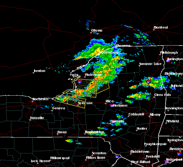 At 733 pm edt, a severe thunderstorm was located near cato, or 10 miles southeast of fair haven beach state park, moving east at 50 mph (radar indicated). Hazards include 60 mph wind gusts and nickel size hail. Expect damage to roofs, siding, and trees. locations impacted include, fulton, central square, cato, constantia, sterling, phoenix, ira, cleveland, hannibal and meridian. This includes interstate 81 near exit 32. At 733 pm edt, a severe thunderstorm was located near cato, or 10 miles southeast of fair haven beach state park, moving east at 50 mph (radar indicated). Hazards include 60 mph wind gusts and nickel size hail. Expect damage to roofs, siding, and trees. locations impacted include, fulton, central square, cato, constantia, sterling, phoenix, ira, cleveland, hannibal and meridian. This includes interstate 81 near exit 32.
|
| 5/23/2019 7:19 PM EDT |
 The national weather service in buffalo has issued a * severe thunderstorm warning for. northeastern wayne county in western new york. cayuga county in central new york. southern oswego county in central new york. Until 800 pm edt. The national weather service in buffalo has issued a * severe thunderstorm warning for. northeastern wayne county in western new york. cayuga county in central new york. southern oswego county in central new york. Until 800 pm edt.
|
| 5/19/2019 4:36 PM EDT |
 At 436 pm edt, a severe thunderstorm was located over bridgeport, or 13 miles northeast of syracuse, moving east at 45 mph (law enforcement). Hazards include 60 mph wind gusts and quarter size hail. Hail damage to vehicles is expected. expect wind damage to roofs, siding, and trees. Locations impacted include, syracuse, clay, rome, cicero, de witt, sullivan, oneida, lenox, north syracuse and lee. At 436 pm edt, a severe thunderstorm was located over bridgeport, or 13 miles northeast of syracuse, moving east at 45 mph (law enforcement). Hazards include 60 mph wind gusts and quarter size hail. Hail damage to vehicles is expected. expect wind damage to roofs, siding, and trees. Locations impacted include, syracuse, clay, rome, cicero, de witt, sullivan, oneida, lenox, north syracuse and lee.
|
| 5/19/2019 4:34 PM EDT |
 At 433 pm edt, a severe thunderstorm was located near cicero, or 13 miles northeast of syracuse, moving east at 35 mph (radar indicated). Hazards include 60 mph wind gusts and quarter size hail. Minor damage to vehicles is possible. expect wind damage to roofs, siding, and trees. locations impacted include, central square, constantia, west monroe, cleveland, bernhards bay, amboy center, mallory, gayville, lower south bay, and oneida lake. This includes interstate 81 near exit 32. At 433 pm edt, a severe thunderstorm was located near cicero, or 13 miles northeast of syracuse, moving east at 35 mph (radar indicated). Hazards include 60 mph wind gusts and quarter size hail. Minor damage to vehicles is possible. expect wind damage to roofs, siding, and trees. locations impacted include, central square, constantia, west monroe, cleveland, bernhards bay, amboy center, mallory, gayville, lower south bay, and oneida lake. This includes interstate 81 near exit 32.
|
| 5/19/2019 4:28 PM EDT |
 At 428 pm edt, a severe thunderstorm capable of producing a tornado was located near bridgeport, or 7 miles northeast of syracuse, moving east at 45 mph (radar indicated rotation). Hazards include tornado and quarter size hail. Flying debris will be dangerous to those caught without shelter. mobile homes will be damaged or destroyed. damage to roofs, windows, and vehicles will occur. tree damage is likely. this dangerous storm will be near, sullivan and chittenango around 440 pm edt. Canastota around 445 pm edt. At 428 pm edt, a severe thunderstorm capable of producing a tornado was located near bridgeport, or 7 miles northeast of syracuse, moving east at 45 mph (radar indicated rotation). Hazards include tornado and quarter size hail. Flying debris will be dangerous to those caught without shelter. mobile homes will be damaged or destroyed. damage to roofs, windows, and vehicles will occur. tree damage is likely. this dangerous storm will be near, sullivan and chittenango around 440 pm edt. Canastota around 445 pm edt.
|
| 5/19/2019 4:28 PM EDT |
 At 427 pm edt, a severe thunderstorm was located over bridgeport, or 10 miles northeast of syracuse, moving east at 45 mph (radar indicated). Hazards include 60 mph wind gusts and quarter size hail. Hail damage to vehicles is expected. expect wind damage to roofs, siding, and trees. Locations impacted include, syracuse, clay, rome, cicero, de witt, sullivan, oneida, lenox, north syracuse and lee. At 427 pm edt, a severe thunderstorm was located over bridgeport, or 10 miles northeast of syracuse, moving east at 45 mph (radar indicated). Hazards include 60 mph wind gusts and quarter size hail. Hail damage to vehicles is expected. expect wind damage to roofs, siding, and trees. Locations impacted include, syracuse, clay, rome, cicero, de witt, sullivan, oneida, lenox, north syracuse and lee.
|
| 5/19/2019 4:24 PM EDT |
 At 423 pm edt, a severe thunderstorm capable of producing a tornado was located near syracuse, moving northeast at 45 mph (radar indicated rotation). Hazards include tornado and ping pong ball size hail. Flying debris will be dangerous to those caught without shelter. mobile homes will be damaged or destroyed. damage to roofs, windows, and vehicles will occur. tree damage is likely. this dangerous storm will be near, kirkville around 430 pm edt. bridgeport around 435 pm edt. Canastota around 445 pm edt. At 423 pm edt, a severe thunderstorm capable of producing a tornado was located near syracuse, moving northeast at 45 mph (radar indicated rotation). Hazards include tornado and ping pong ball size hail. Flying debris will be dangerous to those caught without shelter. mobile homes will be damaged or destroyed. damage to roofs, windows, and vehicles will occur. tree damage is likely. this dangerous storm will be near, kirkville around 430 pm edt. bridgeport around 435 pm edt. Canastota around 445 pm edt.
|
| 5/19/2019 4:12 PM EDT |
 At 412 pm edt, a severe thunderstorm capable of producing a tornado was located over new york state fairgrounds, or near syracuse, moving east at 45 mph (radar indicated rotation). Hazards include tornado. Flying debris will be dangerous to those caught without shelter. mobile homes will be damaged or destroyed. damage to roofs, windows, and vehicles will occur. tree damage is likely. this dangerous storm will be near, liverpool and galeville around 415 pm edt. syracuse around 420 pm edt. lyndon around 425 pm edt. kirkville around 430 pm edt. sullivan and bridgeport around 435 pm edt. chittenango around 440 pm edt. Canastota around 445 pm edt. At 412 pm edt, a severe thunderstorm capable of producing a tornado was located over new york state fairgrounds, or near syracuse, moving east at 45 mph (radar indicated rotation). Hazards include tornado. Flying debris will be dangerous to those caught without shelter. mobile homes will be damaged or destroyed. damage to roofs, windows, and vehicles will occur. tree damage is likely. this dangerous storm will be near, liverpool and galeville around 415 pm edt. syracuse around 420 pm edt. lyndon around 425 pm edt. kirkville around 430 pm edt. sullivan and bridgeport around 435 pm edt. chittenango around 440 pm edt. Canastota around 445 pm edt.
|
| 5/19/2019 4:08 PM EDT |
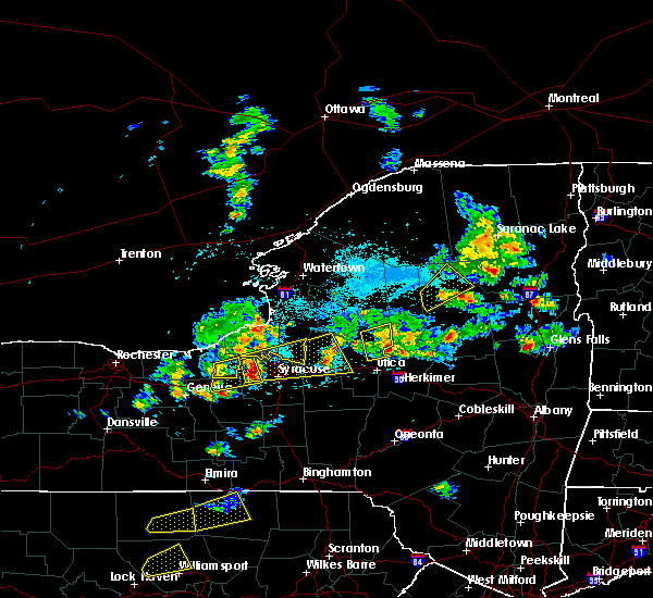 At 407 pm edt, a severe thunderstorm was located over baldwinsville, moving east at 35 mph (radar indicated). Hazards include 60 mph wind gusts and quarter size hail. Minor damage to vehicles is possible. Expect wind damage to roofs, siding, and trees. At 407 pm edt, a severe thunderstorm was located over baldwinsville, moving east at 35 mph (radar indicated). Hazards include 60 mph wind gusts and quarter size hail. Minor damage to vehicles is possible. Expect wind damage to roofs, siding, and trees.
|
| 5/19/2019 4:04 PM EDT |
 At 402 pm edt, a severe thunderstorm was located near camillus, or near baldwinsville, moving east at 45 mph (radar indicated). Hazards include 60 mph wind gusts and quarter size hail. Hail damage to vehicles is expected. Expect wind damage to roofs, siding, and trees. At 402 pm edt, a severe thunderstorm was located near camillus, or near baldwinsville, moving east at 45 mph (radar indicated). Hazards include 60 mph wind gusts and quarter size hail. Hail damage to vehicles is expected. Expect wind damage to roofs, siding, and trees.
|
| 5/19/2019 3:07 PM EDT | Tree and wires down across maple flats road in oneida county NY, 2.6 miles SW of Cleveland, NY |
| 5/10/2019 1:51 PM EDT |
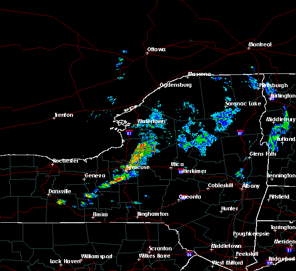 At 150 pm edt, a severe thunderstorm was located near camden, moving east at 40 mph (radar indicated). Hazards include 60 mph wind gusts and penny size hail. Expect damage to roofs, siding, and trees. Locations impacted include, constantia, williamstown, cleveland, osceola, kasoag, bernhards bay, swancott mill and amboy center. At 150 pm edt, a severe thunderstorm was located near camden, moving east at 40 mph (radar indicated). Hazards include 60 mph wind gusts and penny size hail. Expect damage to roofs, siding, and trees. Locations impacted include, constantia, williamstown, cleveland, osceola, kasoag, bernhards bay, swancott mill and amboy center.
|
| 5/10/2019 1:33 PM EDT |
 At 132 pm edt, a severe thunderstorm was located near central square, or 16 miles northeast of baldwinsville, moving east at 400 mph (radar indicated). Hazards include 60 mph wind gusts and penny size hail. expect damage to roofs, siding, and trees At 132 pm edt, a severe thunderstorm was located near central square, or 16 miles northeast of baldwinsville, moving east at 400 mph (radar indicated). Hazards include 60 mph wind gusts and penny size hail. expect damage to roofs, siding, and trees
|
| 5/4/2018 5:57 PM EDT |
 At 557 pm edt, severe thunderstorms were located along a line extending from near redfield to 9 miles west of camden to bridgeport to syracuse, moving east at 55 mph (radar indicated). Hazards include 60 mph wind gusts. Expect damage to trees, and power lines. severe thunderstorms will be near, camden and verona beach around 610 pm edt. vienna, sylvan beach and taberg around 615 pm edt. lenox, lee and canastota around 620 pm edt. oneida and boonville around 625 pm edt. rome, verona and sherrill around 630 pm edt. floyd and stittville around 635 pm edt. westmoreland, clinton and forestport around 640 pm edt. utica, new hartford and trenton around 645 pm edt. A tornado watch remains in effect until 1000 pm edt for central new york. At 557 pm edt, severe thunderstorms were located along a line extending from near redfield to 9 miles west of camden to bridgeport to syracuse, moving east at 55 mph (radar indicated). Hazards include 60 mph wind gusts. Expect damage to trees, and power lines. severe thunderstorms will be near, camden and verona beach around 610 pm edt. vienna, sylvan beach and taberg around 615 pm edt. lenox, lee and canastota around 620 pm edt. oneida and boonville around 625 pm edt. rome, verona and sherrill around 630 pm edt. floyd and stittville around 635 pm edt. westmoreland, clinton and forestport around 640 pm edt. utica, new hartford and trenton around 645 pm edt. A tornado watch remains in effect until 1000 pm edt for central new york.
|
| 10/15/2017 6:55 PM EDT |
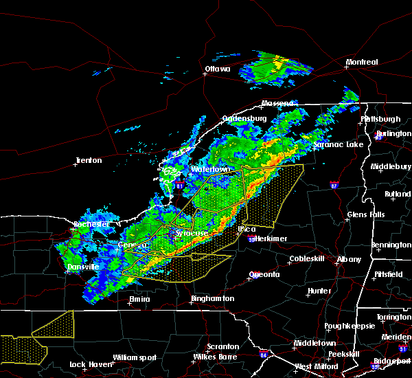 The severe thunderstorm warning for south central jefferson, lewis and eastern oswego counties will expire at 700 pm edt, the storms which prompted the warning have moved out of the area. therefore the warning will be allowed to expire. The severe thunderstorm warning for south central jefferson, lewis and eastern oswego counties will expire at 700 pm edt, the storms which prompted the warning have moved out of the area. therefore the warning will be allowed to expire.
|
| 10/15/2017 6:17 PM EDT |
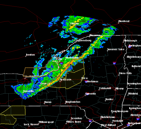 At 616 pm edt, severe thunderstorms were located along a line extending from 6 miles northwest of lowville to redfield to near new york state fairgrounds, moving east at 55 mph (radar indicated). Hazards include 70 mph wind gusts. Expect considerable tree damage. damage is likely to mobile homes, roofs, and outbuildings. locations impacted include, lowville, central square, redfield, highmarket, whetstone gulf state park, constantia, west monroe and denmark. This includes interstate 81 near exit 32. At 616 pm edt, severe thunderstorms were located along a line extending from 6 miles northwest of lowville to redfield to near new york state fairgrounds, moving east at 55 mph (radar indicated). Hazards include 70 mph wind gusts. Expect considerable tree damage. damage is likely to mobile homes, roofs, and outbuildings. locations impacted include, lowville, central square, redfield, highmarket, whetstone gulf state park, constantia, west monroe and denmark. This includes interstate 81 near exit 32.
|
| 10/15/2017 6:08 PM EDT |
 At 607 pm edt, severe thunderstorms were located along a line extending from 7 miles northwest of redfield to i-81 exit 33 to near phoenix to near camillus to sennett to cayuga, moving east at 45 mph (radar indicated). Hazards include 60 mph wind gusts. Expect damage to trees and power lines. severe thunderstorms will be near, brewerton around 615 pm edt. syracuse, cicero and galeville around 620 pm edt. owasco around 625 pm edt. camden, manlius and niles around 630 pm edt. kirkville around 635 pm edt. sullivan, chittenango and taberg around 640 pm edt. pompey, vienna and canastota around 645 pm edt. Boonville, lenox and tully around 650 pm edt. At 607 pm edt, severe thunderstorms were located along a line extending from 7 miles northwest of redfield to i-81 exit 33 to near phoenix to near camillus to sennett to cayuga, moving east at 45 mph (radar indicated). Hazards include 60 mph wind gusts. Expect damage to trees and power lines. severe thunderstorms will be near, brewerton around 615 pm edt. syracuse, cicero and galeville around 620 pm edt. owasco around 625 pm edt. camden, manlius and niles around 630 pm edt. kirkville around 635 pm edt. sullivan, chittenango and taberg around 640 pm edt. pompey, vienna and canastota around 645 pm edt. Boonville, lenox and tully around 650 pm edt.
|
| 10/15/2017 5:56 PM EDT |
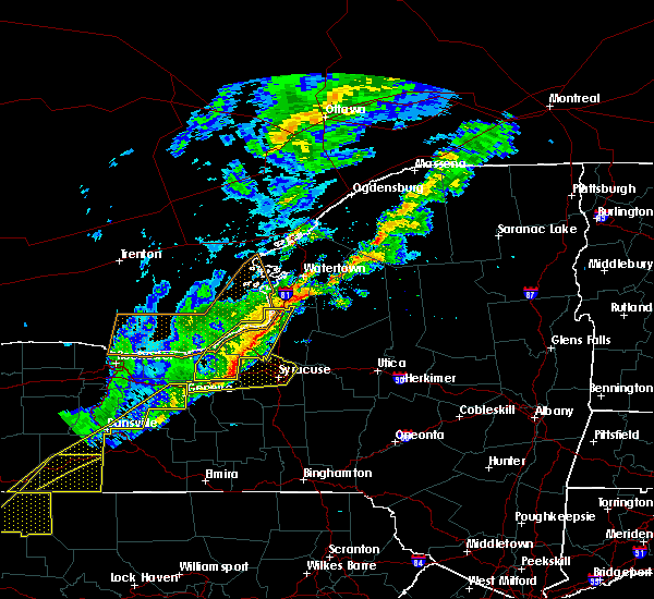 At 556 pm edt, severe thunderstorms were located along a line extending from near adams center to pulaski to near weedsport, moving east at 55 mph (radar indicated). Hazards include 60 mph wind gusts. expect wind damage to trees and power lines At 556 pm edt, severe thunderstorms were located along a line extending from near adams center to pulaski to near weedsport, moving east at 55 mph (radar indicated). Hazards include 60 mph wind gusts. expect wind damage to trees and power lines
|
| 8/22/2017 5:37 PM EDT |
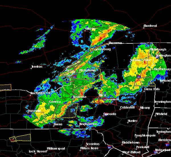 The severe thunderstorm warning for southeastern oswego county will expire at 545 pm edt, the storm which prompted the warning has moved out of the area. therefore the warning will be allowed to expire. a tornado watch remains in effect until 900 pm edt for central new york. The severe thunderstorm warning for southeastern oswego county will expire at 545 pm edt, the storm which prompted the warning has moved out of the area. therefore the warning will be allowed to expire. a tornado watch remains in effect until 900 pm edt for central new york.
|
| 8/22/2017 5:26 PM EDT |
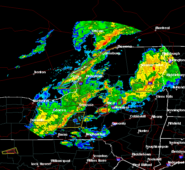 At 525 pm edt, a severe thunderstorm was located near bridgeport, or 12 miles southwest of camden, moving east at 60 mph (radar indicated). Hazards include 60 mph wind gusts. Expect wind damage to trees and power lines. locations impacted include, constantia, west monroe, williamstown, cleveland, bernhards bay, amboy center and gayville. A tornado watch remains in effect until 900 pm edt for central new york. At 525 pm edt, a severe thunderstorm was located near bridgeport, or 12 miles southwest of camden, moving east at 60 mph (radar indicated). Hazards include 60 mph wind gusts. Expect wind damage to trees and power lines. locations impacted include, constantia, west monroe, williamstown, cleveland, bernhards bay, amboy center and gayville. A tornado watch remains in effect until 900 pm edt for central new york.
|
| 8/22/2017 5:10 PM EDT |
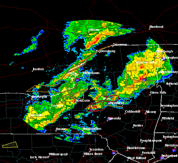 At 509 pm edt, a severe thunderstorm was located over liverpool, or near baldwinsville, moving east at 55 mph (radar indicated). Hazards include 60 mph wind gusts. expect wind damage to trees and power lines At 509 pm edt, a severe thunderstorm was located over liverpool, or near baldwinsville, moving east at 55 mph (radar indicated). Hazards include 60 mph wind gusts. expect wind damage to trees and power lines
|
| 8/22/2017 3:18 PM EDT |
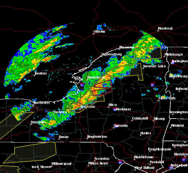 At 318 pm edt, severe thunderstorms were located along a line extending from near star lake to 8 miles west of camden, moving east at 40 mph (radar indicated). Hazards include 70 mph wind gusts. Expect considerable tree damage. damage is likely to mobile homes, roofs, and outbuildings. locations impacted include, lowville, central square, redfield, highmarket, whetstone gulf state park, constantia, west monroe and denmark. this includes interstate 81 near exit 32. A tornado watch remains in effect until 900 pm edt for central new york. At 318 pm edt, severe thunderstorms were located along a line extending from near star lake to 8 miles west of camden, moving east at 40 mph (radar indicated). Hazards include 70 mph wind gusts. Expect considerable tree damage. damage is likely to mobile homes, roofs, and outbuildings. locations impacted include, lowville, central square, redfield, highmarket, whetstone gulf state park, constantia, west monroe and denmark. this includes interstate 81 near exit 32. A tornado watch remains in effect until 900 pm edt for central new york.
|
| 8/22/2017 3:16 PM EDT |
 At 315 pm edt, severe thunderstorms were located along a line extending from near i-81 exit 32 to marcellus, moving east at 45 mph (radar indicated). Hazards include 60 mph wind gusts. Expect damage to trees, and power lines. these severe storms will be near, bridgeport around 320 pm edt. vienna, sylvan beach and lyndon around 330 pm edt. A tornado watch remains in effect until 900 pm edt for central new york. At 315 pm edt, severe thunderstorms were located along a line extending from near i-81 exit 32 to marcellus, moving east at 45 mph (radar indicated). Hazards include 60 mph wind gusts. Expect damage to trees, and power lines. these severe storms will be near, bridgeport around 320 pm edt. vienna, sylvan beach and lyndon around 330 pm edt. A tornado watch remains in effect until 900 pm edt for central new york.
|
| 8/22/2017 2:55 PM EDT |
 At 255 pm edt, severe thunderstorms were located along a line extending from phoenix to throopsville, moving east at 50 mph (radar indicated). Hazards include 60 mph wind gusts. Expect damage to trees, and power lines. severe thunderstorms will be near, baldwinsville, liverpool and galeville around 300 pm edt. cicero around 305 pm edt. marcellus and bridgeport around 315 pm edt. vienna, sylvan beach and lyndon around 330 pm edt. A tornado watch remains in effect until 900 pm edt for central new york. At 255 pm edt, severe thunderstorms were located along a line extending from phoenix to throopsville, moving east at 50 mph (radar indicated). Hazards include 60 mph wind gusts. Expect damage to trees, and power lines. severe thunderstorms will be near, baldwinsville, liverpool and galeville around 300 pm edt. cicero around 305 pm edt. marcellus and bridgeport around 315 pm edt. vienna, sylvan beach and lyndon around 330 pm edt. A tornado watch remains in effect until 900 pm edt for central new york.
|
| 8/22/2017 2:52 PM EDT |
 The severe thunderstorm warning for south central lewis, cayuga and southern oswego counties will expire at 300 pm edt, the storms which prompted the warning have moved out of the area. therefore the warning will be allowed to expire. remember, a severe thunderstorm warning still remains in effect for far eastern jefferson, eastern oswego and all of lewis county. a tornado watch remains in effect until 900 pm edt for central new york. The severe thunderstorm warning for south central lewis, cayuga and southern oswego counties will expire at 300 pm edt, the storms which prompted the warning have moved out of the area. therefore the warning will be allowed to expire. remember, a severe thunderstorm warning still remains in effect for far eastern jefferson, eastern oswego and all of lewis county. a tornado watch remains in effect until 900 pm edt for central new york.
|
| 8/22/2017 2:47 PM EDT |
 At 246 pm edt, severe thunderstorms were located along a line extending from 7 miles south of fowler to 6 miles southeast of fulton, moving east at 45 mph (radar indicated). Hazards include 70 mph wind gusts. Expect considerable tree damage. Damage is likely to mobile homes, roofs, and outbuildings. At 246 pm edt, severe thunderstorms were located along a line extending from 7 miles south of fowler to 6 miles southeast of fulton, moving east at 45 mph (radar indicated). Hazards include 70 mph wind gusts. Expect considerable tree damage. Damage is likely to mobile homes, roofs, and outbuildings.
|
| 8/22/2017 2:28 PM EDT |
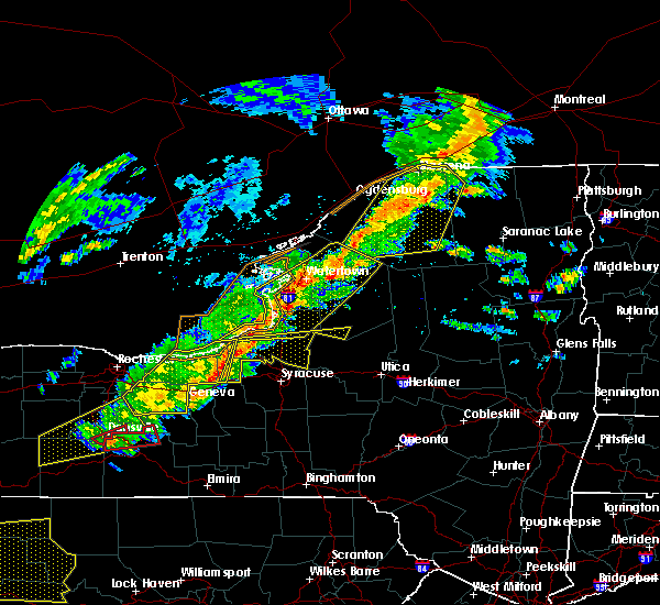 At 227 pm edt, severe thunderstorms were located along a line extending from 6 miles southeast of nine mile point to jordan, moving east at 50 mph (radar indicated). Hazards include 70 mph wind gusts. Expect considerable tree damage. damage is likely to mobile homes, roofs, and outbuildings. locations impacted include, oswego, fulton, central square, weedsport, cato, battle island state park, brewerton and hastings. this includes the following highways, interstate 90 near exit 40. interstate 81 between exits 32 and 34. A tornado watch remains in effect until 900 pm edt for central new york. At 227 pm edt, severe thunderstorms were located along a line extending from 6 miles southeast of nine mile point to jordan, moving east at 50 mph (radar indicated). Hazards include 70 mph wind gusts. Expect considerable tree damage. damage is likely to mobile homes, roofs, and outbuildings. locations impacted include, oswego, fulton, central square, weedsport, cato, battle island state park, brewerton and hastings. this includes the following highways, interstate 90 near exit 40. interstate 81 between exits 32 and 34. A tornado watch remains in effect until 900 pm edt for central new york.
|
| 8/22/2017 2:05 PM EDT |
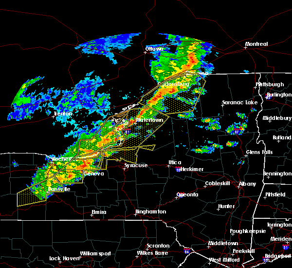 At 205 pm edt, severe thunderstorms were located along a line extending from near battle island state park to near weedsport, moving east at 35 mph (radar indicated). Hazards include 60 mph wind gusts and penny size hail. expect wind damage to trees and power lines At 205 pm edt, severe thunderstorms were located along a line extending from near battle island state park to near weedsport, moving east at 35 mph (radar indicated). Hazards include 60 mph wind gusts and penny size hail. expect wind damage to trees and power lines
|
| 8/12/2017 2:59 PM EDT |
 At 258 pm edt, severe thunderstorms were located along a line extending from 10 miles southwest of redfield to near central square, moving east at 30 mph (radar indicated). Hazards include 60 mph wind gusts and half dollar size hail. Minor damage to vehicles is possible. expect wind damage to trees and power lines. Locations impacted include, redfield, highmarket, constantia, west monroe, williamstown, cleveland, altmar and osceola. At 258 pm edt, severe thunderstorms were located along a line extending from 10 miles southwest of redfield to near central square, moving east at 30 mph (radar indicated). Hazards include 60 mph wind gusts and half dollar size hail. Minor damage to vehicles is possible. expect wind damage to trees and power lines. Locations impacted include, redfield, highmarket, constantia, west monroe, williamstown, cleveland, altmar and osceola.
|
| 8/12/2017 2:40 PM EDT |
 At 240 pm edt, severe thunderstorms were located along a line extending from 8 miles southeast of mexico point state park to near central square, moving east at 30 mph (radar indicated). Hazards include 60 mph wind gusts and quarter size hail. Minor damage to vehicles is possible. Expect wind damage to trees and power lines. At 240 pm edt, severe thunderstorms were located along a line extending from 8 miles southeast of mexico point state park to near central square, moving east at 30 mph (radar indicated). Hazards include 60 mph wind gusts and quarter size hail. Minor damage to vehicles is possible. Expect wind damage to trees and power lines.
|
| 7/14/2017 2:03 PM EDT |
 At 203 pm edt, a severe thunderstorm was located over taberg, or near camden, moving east at 25 mph (radar indicated). Hazards include 60 mph wind gusts and quarter size hail. Minor hail damage to vehicles is possible. expect wind to cause damage to trees, and power lines. This severe storm will be near, rome around 230 pm edt. At 203 pm edt, a severe thunderstorm was located over taberg, or near camden, moving east at 25 mph (radar indicated). Hazards include 60 mph wind gusts and quarter size hail. Minor hail damage to vehicles is possible. expect wind to cause damage to trees, and power lines. This severe storm will be near, rome around 230 pm edt.
|
| 7/14/2017 1:55 PM EDT |
 The severe thunderstorm warning for southeastern oswego county will expire at 200 pm edt, the storm which prompted the warning has moved out of the area. therefore the warning will be allowed to expire. however heavy rain is still possible with this thunderstorm. The severe thunderstorm warning for southeastern oswego county will expire at 200 pm edt, the storm which prompted the warning has moved out of the area. therefore the warning will be allowed to expire. however heavy rain is still possible with this thunderstorm.
|
| 7/14/2017 1:36 PM EDT | Trees down on cty rt 17 in oswego county NY, 6.9 miles S of Cleveland, NY |
| 7/14/2017 1:25 PM EDT |
 At 125 pm edt, a severe thunderstorm was located 9 miles west of camden, moving east at 25 mph (radar indicated). Hazards include 60 mph wind gusts and quarter size hail. Minor hail damage to vehicles is possible. expect wind to cause damage to trees, and power lines. this severe thunderstorm will be near, camden around 145 pm edt. vienna and sylvan beach around 155 pm edt. blossvale around 200 pm edt. taberg around 205 pm edt. lee around 210 pm edt. Rome around 230 pm edt. At 125 pm edt, a severe thunderstorm was located 9 miles west of camden, moving east at 25 mph (radar indicated). Hazards include 60 mph wind gusts and quarter size hail. Minor hail damage to vehicles is possible. expect wind to cause damage to trees, and power lines. this severe thunderstorm will be near, camden around 145 pm edt. vienna and sylvan beach around 155 pm edt. blossvale around 200 pm edt. taberg around 205 pm edt. lee around 210 pm edt. Rome around 230 pm edt.
|
| 7/14/2017 1:15 PM EDT |
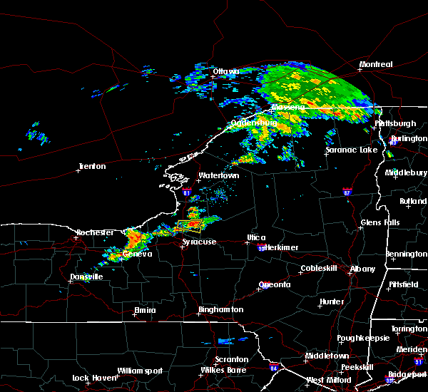 At 114 pm edt, a severe thunderstorm was located near central square, or 15 miles west of camden, moving east at 15 mph (radar indicated). Hazards include 60 mph wind gusts and quarter size hail. Minor damage to vehicles is possible. expect wind damage to trees and power lines. locations impacted include, gayville and amboy center. This includes interstate 81 near exit 33. At 114 pm edt, a severe thunderstorm was located near central square, or 15 miles west of camden, moving east at 15 mph (radar indicated). Hazards include 60 mph wind gusts and quarter size hail. Minor damage to vehicles is possible. expect wind damage to trees and power lines. locations impacted include, gayville and amboy center. This includes interstate 81 near exit 33.
|
| 7/14/2017 12:55 PM EDT |
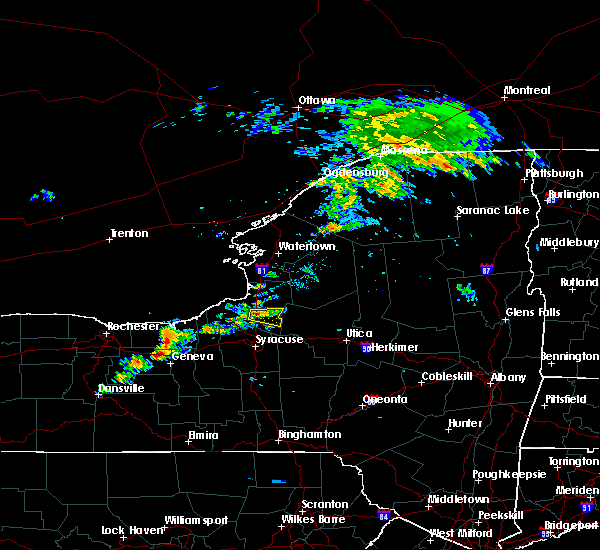 At 1255 pm edt, a severe thunderstorm was located near central square, or 13 miles east of fulton, moving east at 15 mph (radar indicated). Hazards include 60 mph wind gusts and quarter size hail. Minor damage to vehicles is possible. Expect wind damage to trees and power lines. At 1255 pm edt, a severe thunderstorm was located near central square, or 13 miles east of fulton, moving east at 15 mph (radar indicated). Hazards include 60 mph wind gusts and quarter size hail. Minor damage to vehicles is possible. Expect wind damage to trees and power lines.
|
| 6/18/2017 7:13 PM EDT |
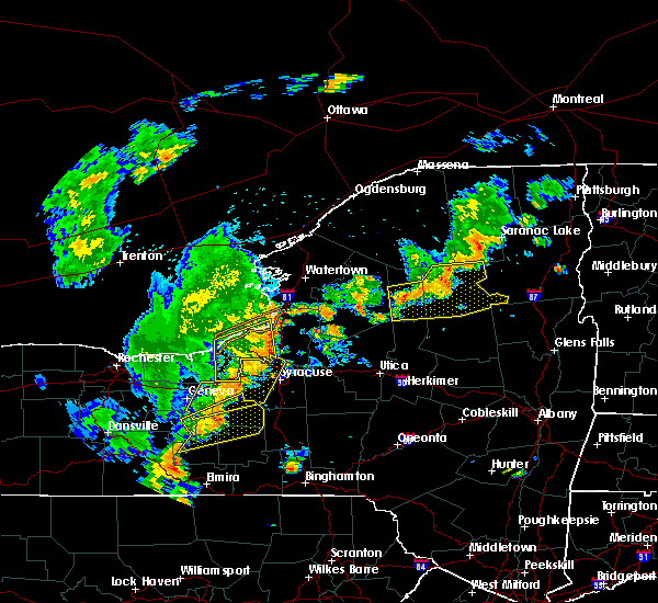 At 713 pm edt, severe thunderstorms were located along a line extending from near nine mile point to near wedgewood, moving northeast at 60 mph (radar indicated). Hazards include 60 mph wind gusts. expect wind damage to trees and power lines At 713 pm edt, severe thunderstorms were located along a line extending from near nine mile point to near wedgewood, moving northeast at 60 mph (radar indicated). Hazards include 60 mph wind gusts. expect wind damage to trees and power lines
|
| 5/18/2017 6:28 PM EDT |
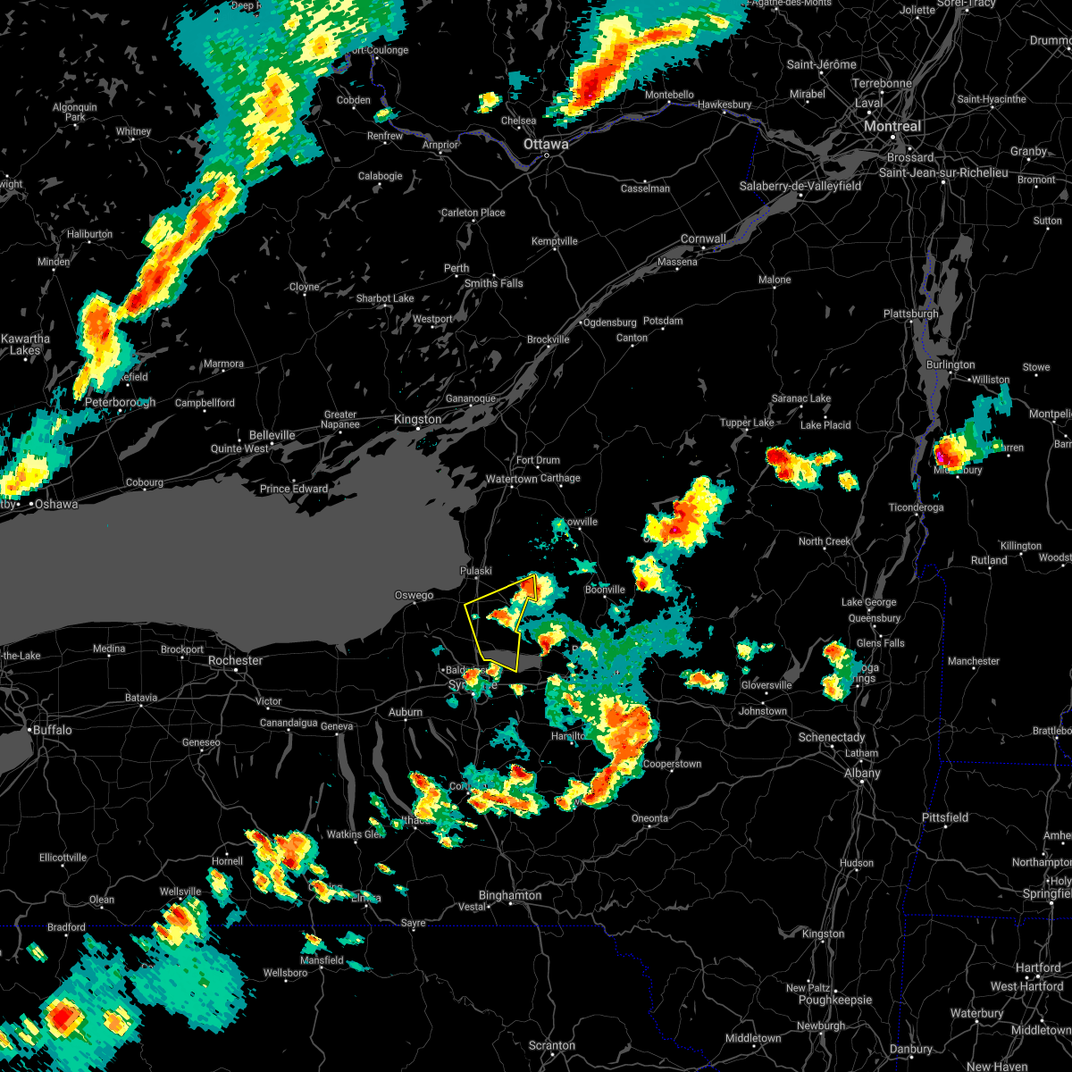 The severe thunderstorm warning for southeastern oswego county will expire at 630 pm edt. the storm which prompted the warning has moved out of the area. therefore the warning will be allowed to expire. Remember, a severe thunderstorm warning still remains in effect for east central oswego and southwest lewis counties. The severe thunderstorm warning for southeastern oswego county will expire at 630 pm edt. the storm which prompted the warning has moved out of the area. therefore the warning will be allowed to expire. Remember, a severe thunderstorm warning still remains in effect for east central oswego and southwest lewis counties.
|
| 5/18/2017 6:21 PM EDT | Trees and wires dow in oswego county NY, 0.3 miles ENE of Cleveland, NY |
| 5/18/2017 6:18 PM EDT |
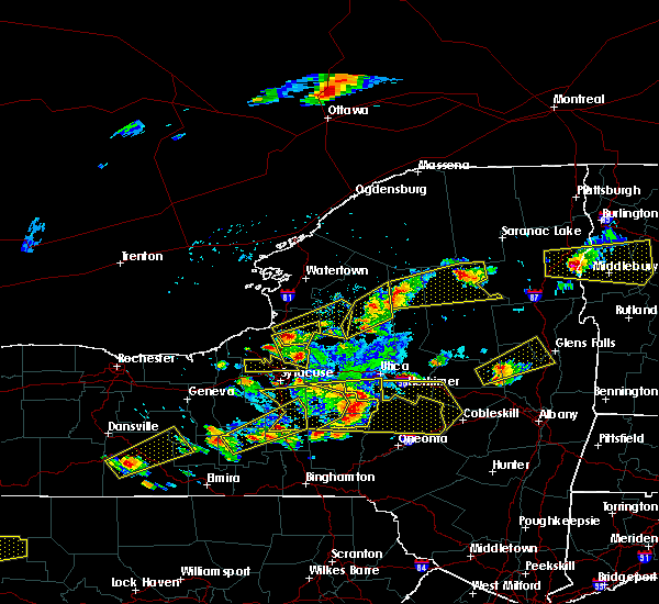 At 618 pm edt, a severe thunderstorm was located 9 miles west of camden, moving east at 50 mph (trained weather spotters). Hazards include golf ball size hail and 60 mph wind gusts. People and animals outdoors will be injured. expect hail damage to roofs, siding, windows, and vehicles. expect wind damage to trees and power lines. locations impacted include, central square, redfield, hastings, constantia, west monroe, williamstown, cleveland and parish. This includes interstate 81 between exits 32 and 34. At 618 pm edt, a severe thunderstorm was located 9 miles west of camden, moving east at 50 mph (trained weather spotters). Hazards include golf ball size hail and 60 mph wind gusts. People and animals outdoors will be injured. expect hail damage to roofs, siding, windows, and vehicles. expect wind damage to trees and power lines. locations impacted include, central square, redfield, hastings, constantia, west monroe, williamstown, cleveland and parish. This includes interstate 81 between exits 32 and 34.
|
| 5/18/2017 5:57 PM EDT |
 At 556 pm edt, a severe thunderstorm was located near fulton, moving east at 50 mph (radar indicated). Hazards include tennis ball size hail and 60 mph wind gusts. People and animals outdoors will be injured. expect hail damage to roofs, siding, windows, and vehicles. expect wind damage to trees and power lines. locations impacted include, fulton, central square, redfield, battle island state park, hastings, volney, constantia and west monroe. This includes interstate 81 between exits 32 and 34. At 556 pm edt, a severe thunderstorm was located near fulton, moving east at 50 mph (radar indicated). Hazards include tennis ball size hail and 60 mph wind gusts. People and animals outdoors will be injured. expect hail damage to roofs, siding, windows, and vehicles. expect wind damage to trees and power lines. locations impacted include, fulton, central square, redfield, battle island state park, hastings, volney, constantia and west monroe. This includes interstate 81 between exits 32 and 34.
|
| 5/18/2017 5:51 PM EDT |
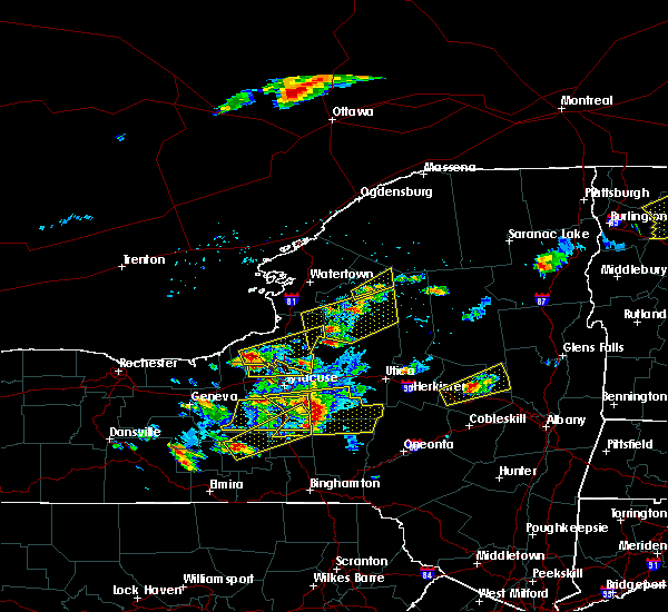 At 551 pm edt, a severe thunderstorm was located near fulton, moving east at 50 mph (radar indicated). Hazards include 60 mph wind gusts and half dollar size hail. Minor damage to vehicles is possible. Expect wind damage to trees and power lines. At 551 pm edt, a severe thunderstorm was located near fulton, moving east at 50 mph (radar indicated). Hazards include 60 mph wind gusts and half dollar size hail. Minor damage to vehicles is possible. Expect wind damage to trees and power lines.
|
| 5/1/2017 6:30 PM EDT |
 At 630 pm edt, a severe thunderstorm was located over marcellus, or 11 miles west of syracuse, moving northeast at 50 mph (radar indicated). Hazards include 60 mph wind gusts. Expect damage to roofs, siding, and trees. this severe thunderstorm will be near, liverpool, new york state fairgrounds and galeville around 640 pm edt. syracuse and lyndon around 645 pm edt. cicero and kirkville around 650 pm edt. bridgeport around 655 pm edt. camden, vienna and sylvan beach around 710 pm edt. blossvale, taberg and new london around 715 pm edt. lee around 720 pm edt. rome around 725 pm edt. A tornado watch remains in effect until 1000 pm edt for central new york. At 630 pm edt, a severe thunderstorm was located over marcellus, or 11 miles west of syracuse, moving northeast at 50 mph (radar indicated). Hazards include 60 mph wind gusts. Expect damage to roofs, siding, and trees. this severe thunderstorm will be near, liverpool, new york state fairgrounds and galeville around 640 pm edt. syracuse and lyndon around 645 pm edt. cicero and kirkville around 650 pm edt. bridgeport around 655 pm edt. camden, vienna and sylvan beach around 710 pm edt. blossvale, taberg and new london around 715 pm edt. lee around 720 pm edt. rome around 725 pm edt. A tornado watch remains in effect until 1000 pm edt for central new york.
|
| 10/2/2016 5:57 PM EDT |
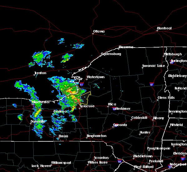 At 557 pm edt, a severe thunderstorm was located over central square, moving northeast at 25 mph (radar indicated). Hazards include 60 mph wind gusts and penny size hail. Expect damage to roofs. siding. And trees. At 557 pm edt, a severe thunderstorm was located over central square, moving northeast at 25 mph (radar indicated). Hazards include 60 mph wind gusts and penny size hail. Expect damage to roofs. siding. And trees.
|
| 9/18/2016 7:16 PM EDT |
 At 714 pm edt, a severe thunderstorm was located 7 miles north of bridgeport, or 9 miles southwest of camden, moving east at 25 mph (radar indicated). Hazards include 60 mph wind gusts and penny size hail. Expect damage to roofs. siding. and trees. this severe thunderstorm will be near, camden around 735 pm edt. vienna, sylvan beach and verona beach around 740 pm edt. blossvale around 750 pm edt. lee, taberg and new london around 755 pm edt. Rome and delta lake around 800 pm edt. At 714 pm edt, a severe thunderstorm was located 7 miles north of bridgeport, or 9 miles southwest of camden, moving east at 25 mph (radar indicated). Hazards include 60 mph wind gusts and penny size hail. Expect damage to roofs. siding. and trees. this severe thunderstorm will be near, camden around 735 pm edt. vienna, sylvan beach and verona beach around 740 pm edt. blossvale around 750 pm edt. lee, taberg and new london around 755 pm edt. Rome and delta lake around 800 pm edt.
|
| 9/8/2016 2:33 PM EDT |
 At 231 pm edt, severe thunderstorms were located along a line extending from redfield to 6 miles east of central square, moving east at 35 mph (radar indicated). Hazards include 60 mph wind gusts. Expect damage to roofs. siding. and trees. locations impacted include, central square, redfield, highmarket, constantia, west monroe, williamstown, orwell and cleveland. This includes interstate 81 between exits 32 and 33. At 231 pm edt, severe thunderstorms were located along a line extending from redfield to 6 miles east of central square, moving east at 35 mph (radar indicated). Hazards include 60 mph wind gusts. Expect damage to roofs. siding. and trees. locations impacted include, central square, redfield, highmarket, constantia, west monroe, williamstown, orwell and cleveland. This includes interstate 81 between exits 32 and 33.
|
| 9/8/2016 2:10 PM EDT |
 The national weather service in buffalo has issued a * severe thunderstorm warning for. southwestern lewis county in central new york. eastern oswego county in central new york. until 245 pm edt. at 210 pm edt. A severe thunderstorm was located near. The national weather service in buffalo has issued a * severe thunderstorm warning for. southwestern lewis county in central new york. eastern oswego county in central new york. until 245 pm edt. at 210 pm edt. A severe thunderstorm was located near.
|
| 7/18/2016 12:44 PM EDT |
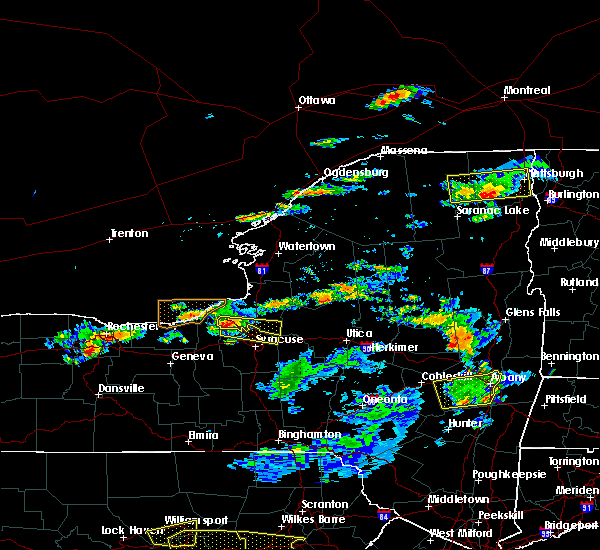 At 1242 pm edt, a severe thunderstorm was located near lysander, or near fulton, moving east at 40 mph (radar indicated). Hazards include 60 mph wind gusts and quarter size hail. Hail damage to vehicles is expected. expect wind damage to roofs, siding, and trees. Locations impacted include, fulton, central square, constantia, west monroe, phoenix, cleveland, sand ridge and hinmansville. At 1242 pm edt, a severe thunderstorm was located near lysander, or near fulton, moving east at 40 mph (radar indicated). Hazards include 60 mph wind gusts and quarter size hail. Hail damage to vehicles is expected. expect wind damage to roofs, siding, and trees. Locations impacted include, fulton, central square, constantia, west monroe, phoenix, cleveland, sand ridge and hinmansville.
|
| 7/18/2016 12:12 PM EDT |
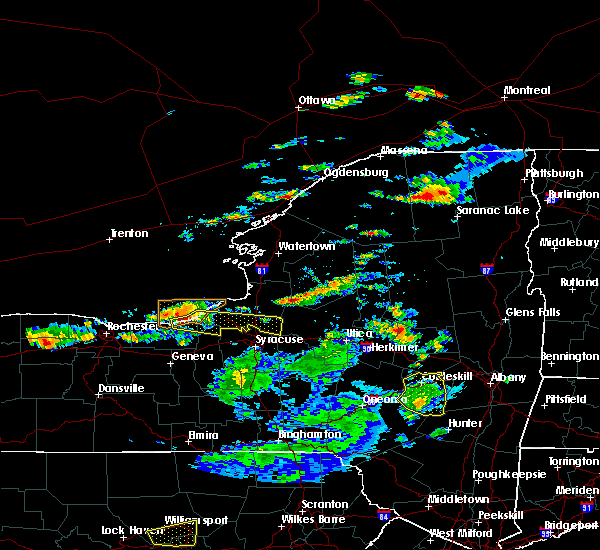 At 1210 pm edt, a severe thunderstorm was located near chimney bluffs state park, or 7 miles west of fair haven beach state park, moving east at 45 mph (radar indicated). Hazards include 60 mph wind gusts and quarter size hail. Hail damage to vehicles is expected. Expect wind damage to roofs, siding, and trees. At 1210 pm edt, a severe thunderstorm was located near chimney bluffs state park, or 7 miles west of fair haven beach state park, moving east at 45 mph (radar indicated). Hazards include 60 mph wind gusts and quarter size hail. Hail damage to vehicles is expected. Expect wind damage to roofs, siding, and trees.
|
| 7/13/2016 4:48 PM EDT |
 At 448 pm edt, a severe thunderstorm was located over sylvan beach, or 8 miles south of camden, moving east at 45 mph (radar indicated). Hazards include 60 mph wind gusts and quarter size hail. Hail damage to vehicles is expected. expect wind damage to roofs, siding, and trees. this severe thunderstorm will be near, taberg around 455 pm edt. lee, verona and new london around 500 pm edt. rome, westmoreland and delta lake around 510 pm edt. floyd, oriskany and clark mills around 515 pm edt. new york mills, yorkville and steuben around 520 pm edt. Utica, trenton and barnveld around 525 pm edt. At 448 pm edt, a severe thunderstorm was located over sylvan beach, or 8 miles south of camden, moving east at 45 mph (radar indicated). Hazards include 60 mph wind gusts and quarter size hail. Hail damage to vehicles is expected. expect wind damage to roofs, siding, and trees. this severe thunderstorm will be near, taberg around 455 pm edt. lee, verona and new london around 500 pm edt. rome, westmoreland and delta lake around 510 pm edt. floyd, oriskany and clark mills around 515 pm edt. new york mills, yorkville and steuben around 520 pm edt. Utica, trenton and barnveld around 525 pm edt.
|
| 6/20/2016 11:48 PM EDT |
 At 1147 pm edt, severe thunderstorms were located along a line extending from 8 miles southwest of boonville to near bridgeport to near jordan, moving southeast at 30 mph (radar indicated). Hazards include 60 mph wind gusts and penny size hail. Expect damage to roofs. siding. and trees. these severe storms will be near, boonville around 1155 pm edt. rome, sullivan and chittenango around 1200 am edt. canastota around 1205 am edt. oneida, lenox and wampsville around 1210 am edt. Lyndon around 1215 am edt. At 1147 pm edt, severe thunderstorms were located along a line extending from 8 miles southwest of boonville to near bridgeport to near jordan, moving southeast at 30 mph (radar indicated). Hazards include 60 mph wind gusts and penny size hail. Expect damage to roofs. siding. and trees. these severe storms will be near, boonville around 1155 pm edt. rome, sullivan and chittenango around 1200 am edt. canastota around 1205 am edt. oneida, lenox and wampsville around 1210 am edt. Lyndon around 1215 am edt.
|
| 6/20/2016 11:42 PM EDT | The severe thunderstorm warning for central oswego county will expire at 1145 pm edt, the storms which prompted the warning have moved out of the area. therefore the warning will be allowed to expire. a severe thunderstorm watch remains in effect until 100 am edt for central new york. |
| 6/20/2016 11:15 PM EDT |
 At 1115 pm edt, severe thunderstorms were located along a line extending from 6 miles southeast of pulaski to near fulton, moving east at 40 mph (radar indicated). Hazards include 60 mph wind gusts and quarter size hail. Hail damage to vehicles is expected. expect wind damage to roofs, siding, and trees. Locations impacted include, fulton, central square, brewerton, hastings, volney, constantia, west monroe and palermo. At 1115 pm edt, severe thunderstorms were located along a line extending from 6 miles southeast of pulaski to near fulton, moving east at 40 mph (radar indicated). Hazards include 60 mph wind gusts and quarter size hail. Hail damage to vehicles is expected. expect wind damage to roofs, siding, and trees. Locations impacted include, fulton, central square, brewerton, hastings, volney, constantia, west monroe and palermo.
|
| 6/20/2016 11:11 PM EDT |
 At 1111 pm edt, severe thunderstorms were located along a line extending from near redfield to near phoenix to near cato, moving southeast at 30 mph (radar indicated). Hazards include 60 mph wind gusts and quarter size hail. Hail damage to vehicles is expected. expect wind damage to roofs, siding, and trees. severe thunderstorms will be near, camden and cicero around 1130 pm edt. marcellus, camillus and bridgeport around 1140 pm edt. liverpool, new york state fairgrounds and galeville around 1145 pm edt. syracuse, lee and kirkville around 1150 pm edt. sullivan around 1155 pm edt. rome, chittenango and canastota around 1200 am edt. lyndon and wampsville around 1205 am edt. Oneida, lenox and manlius around 1210 am edt. At 1111 pm edt, severe thunderstorms were located along a line extending from near redfield to near phoenix to near cato, moving southeast at 30 mph (radar indicated). Hazards include 60 mph wind gusts and quarter size hail. Hail damage to vehicles is expected. expect wind damage to roofs, siding, and trees. severe thunderstorms will be near, camden and cicero around 1130 pm edt. marcellus, camillus and bridgeport around 1140 pm edt. liverpool, new york state fairgrounds and galeville around 1145 pm edt. syracuse, lee and kirkville around 1150 pm edt. sullivan around 1155 pm edt. rome, chittenango and canastota around 1200 am edt. lyndon and wampsville around 1205 am edt. Oneida, lenox and manlius around 1210 am edt.
|
| 6/20/2016 10:53 PM EDT |
 At 1053 pm edt, a severe thunderstorm was located over battle island state park, or near fulton, moving east at 50 mph (radar indicated). Hazards include 60 mph wind gusts and quarter size hail. Hail damage to vehicles is expected. Expect wind damage to roofs, siding, and trees. At 1053 pm edt, a severe thunderstorm was located over battle island state park, or near fulton, moving east at 50 mph (radar indicated). Hazards include 60 mph wind gusts and quarter size hail. Hail damage to vehicles is expected. Expect wind damage to roofs, siding, and trees.
|
| 6/11/2016 9:28 AM EDT |
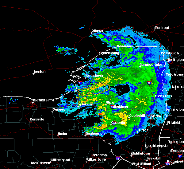 At 927 am edt, severe thunderstorms were located along a line extending from near whetstone gulf state park to near highmarket to near redfield, moving southeast at 50 mph (law enforcement). Hazards include 60 mph wind gusts. Expect damage to roofs. siding. And trees. At 927 am edt, severe thunderstorms were located along a line extending from near whetstone gulf state park to near highmarket to near redfield, moving southeast at 50 mph (law enforcement). Hazards include 60 mph wind gusts. Expect damage to roofs. siding. And trees.
|
| 6/7/2016 1:35 PM EDT |
 At 135 pm edt, a severe thunderstorm was located near canastota, or 7 miles northwest of oneida, moving east at 35 mph (radar indicated). Hazards include 60 mph wind gusts and quarter size hail. Hail damage to vehicles is expected. expect wind damage to roofs, siding, and trees. this severe thunderstorm will be near, vienna, sylvan beach and wampsville around 140 pm edt. oneida and sherrill around 145 pm edt. verona, vernon and new london around 150 pm edt. westmoreland, clinton and clark mills around 200 pm edt. Floyd and oriskany around 205 pm edt. At 135 pm edt, a severe thunderstorm was located near canastota, or 7 miles northwest of oneida, moving east at 35 mph (radar indicated). Hazards include 60 mph wind gusts and quarter size hail. Hail damage to vehicles is expected. expect wind damage to roofs, siding, and trees. this severe thunderstorm will be near, vienna, sylvan beach and wampsville around 140 pm edt. oneida and sherrill around 145 pm edt. verona, vernon and new london around 150 pm edt. westmoreland, clinton and clark mills around 200 pm edt. Floyd and oriskany around 205 pm edt.
|
| 9/9/2015 12:51 PM EDT |
 At 1250 pm edt, doppler radar continued to indicate a severe thunderstorm capable of producing half dollar size hail and destructive winds in excess of 70 mph. this storm was located over boonville, moving east at 40 mph. this storm has a history of producing destructive winds, at 1220 pm trees were reported down near oswego. take shelter immediately if you are in the path of this storm. locations impacted include, pulaski, central square, redfield, highmarket, mexico point state park, selkirk shores state park, hastings and constantia. At 1250 pm edt, doppler radar continued to indicate a severe thunderstorm capable of producing half dollar size hail and destructive winds in excess of 70 mph. this storm was located over boonville, moving east at 40 mph. this storm has a history of producing destructive winds, at 1220 pm trees were reported down near oswego. take shelter immediately if you are in the path of this storm. locations impacted include, pulaski, central square, redfield, highmarket, mexico point state park, selkirk shores state park, hastings and constantia.
|
| 9/9/2015 12:43 PM EDT |
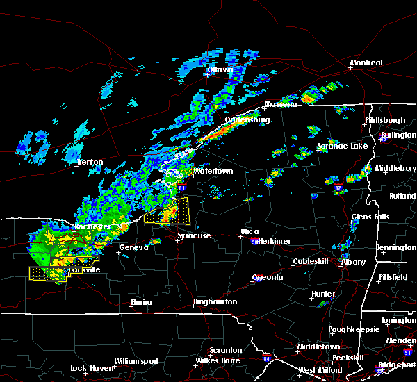 At 1242 pm edt, doppler radar indicated a severe thunderstorm capable of producing destructive winds in excess of 70 mph. in addition, at about 1220 pm downed trees were reported from this storm near oswego. this storm was located near mexico point state park, or 12 miles south of sandy island beach state park, and moving east at 40 mph. penny size hail may also accompany the damaging winds. At 1242 pm edt, doppler radar indicated a severe thunderstorm capable of producing destructive winds in excess of 70 mph. in addition, at about 1220 pm downed trees were reported from this storm near oswego. this storm was located near mexico point state park, or 12 miles south of sandy island beach state park, and moving east at 40 mph. penny size hail may also accompany the damaging winds.
|
| 6/10/2015 10:14 PM EDT |
 At 1013 pm edt, doppler radar indicated a line of severe thunderstorms capable of producing quarter size hail and damaging winds in excess of 60 mph. these storms were located along a line extending from near lowville to near cato, moving east at 45 mph. locations impacted include, lowville, pulaski, central square, redfield and cato. At 1013 pm edt, doppler radar indicated a line of severe thunderstorms capable of producing quarter size hail and damaging winds in excess of 60 mph. these storms were located along a line extending from near lowville to near cato, moving east at 45 mph. locations impacted include, lowville, pulaski, central square, redfield and cato.
|
| 6/10/2015 9:44 PM EDT |
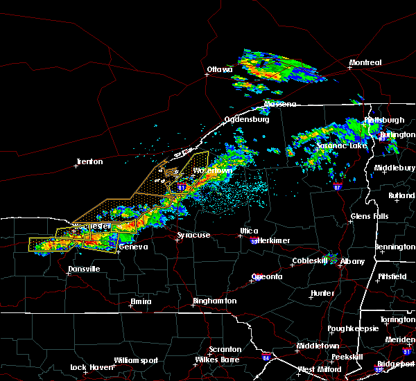 At 943 pm edt, doppler radar indicated a line of severe thunderstorms capable of producing quarter size hail and damaging winds in excess of 60 mph. these storms were located along a line extending from sandy island beach state park to near fair haven beach state park, and moving east at 55 mph. At 943 pm edt, doppler radar indicated a line of severe thunderstorms capable of producing quarter size hail and damaging winds in excess of 60 mph. these storms were located along a line extending from sandy island beach state park to near fair haven beach state park, and moving east at 55 mph.
|
| 6/8/2015 1:22 PM EDT |
 At 121 pm edt, a severe thunderstorm was located near verona beach, or 8 miles southwest of camden, moving east at 55 mph (radar indicated). Hazards include 60 mph wind gusts. Expect damage to roofs. siding and trees. this severe thunderstorm will be near, camden, vienna and sylvan beach around 125 pm edt. blossvale, taberg and new london around 130 pm edt. lee around 135 pm edt. rome and delta lake around 140 pm edt. boonville and steuben around 145 pm edt. Remsen around 150 pm edt. At 121 pm edt, a severe thunderstorm was located near verona beach, or 8 miles southwest of camden, moving east at 55 mph (radar indicated). Hazards include 60 mph wind gusts. Expect damage to roofs. siding and trees. this severe thunderstorm will be near, camden, vienna and sylvan beach around 125 pm edt. blossvale, taberg and new london around 130 pm edt. lee around 135 pm edt. rome and delta lake around 140 pm edt. boonville and steuben around 145 pm edt. Remsen around 150 pm edt.
|
| 9/11/2013 5:55 PM EDT | Trees and wires dow in oswego county NY, 0.2 miles WNW of Cleveland, NY |
| 9/11/2013 5:54 PM EDT | Trees and wires dow in oswego county NY, 4.8 miles S of Cleveland, NY |
Hail Maps for Cleveland, NY


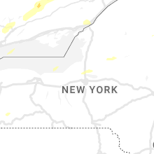


Connect with Interactive Hail Maps