

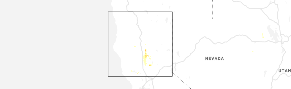
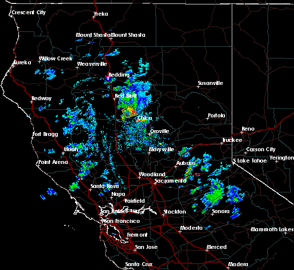
Hail Map for Cohasset, CA
The Cohasset, CA area has had 0 reports of on-the-ground hail by trained spotters, and has been under severe weather warnings 0 times during the past 12 months. Doppler radar has detected hail at or near Cohasset, CA on 5 occasions.
| Name: | Cohasset, CA |
| Where Located: | 58 miles SE of Redding, CA |
| Map: | Google Map for Cohasset, CA |
| Population: | 847 |
| Housing Units: | 408 |
| More Info: | Search Google for Cohasset, CA |
5
The Top Recent Hail Date for Cohasset, CA is Thursday, May 30, 2019 (1st out of 5)
Hail and Wind Damage Spotted near Cohasset, CA
| Date / Time | Report Details |
|---|---|
| 3/23/2023 5:18 PM PDT |
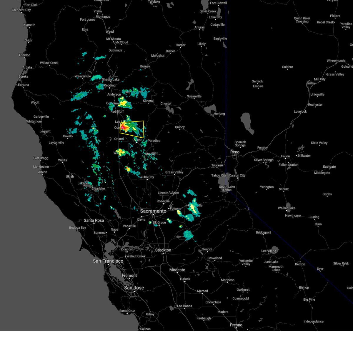 At 517 pm pdt, a severe thunderstorm was located over vina, or near corning, moving east at 15 mph (radar indicated). Hazards include quarter size hail. damage to vehicles is expected At 517 pm pdt, a severe thunderstorm was located over vina, or near corning, moving east at 15 mph (radar indicated). Hazards include quarter size hail. damage to vehicles is expected
|
| 3/6/2023 5:26 PM PST |
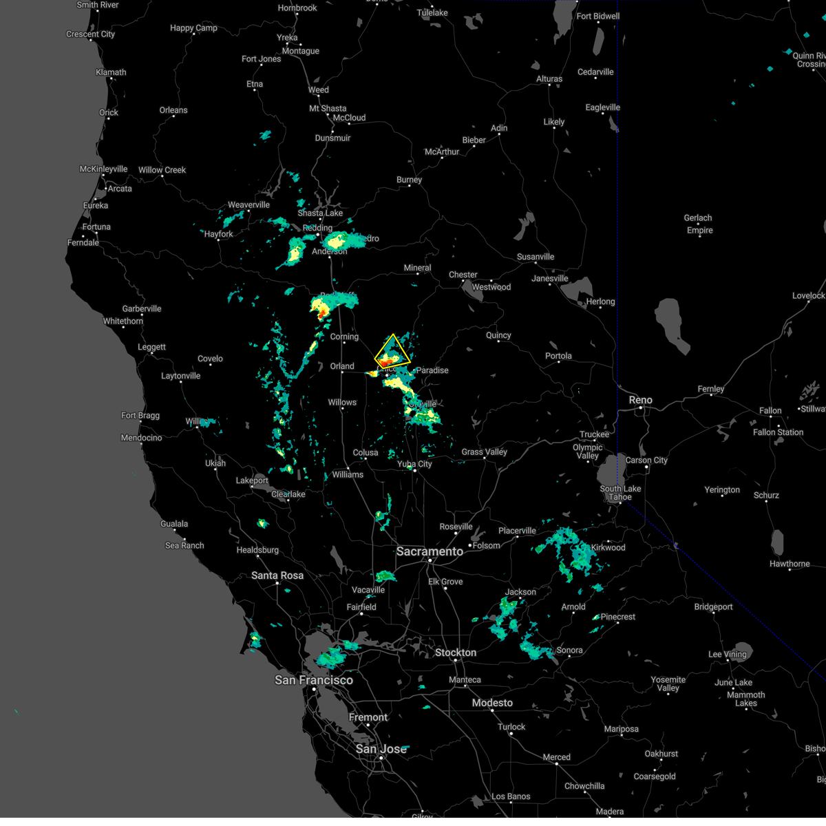 At 526 pm pst, a severe thunderstorm was located near chico, moving northeast at 10 mph (trained weather spotters). Hazards include quarter size hail. damage to vehicles is expected At 526 pm pst, a severe thunderstorm was located near chico, moving northeast at 10 mph (trained weather spotters). Hazards include quarter size hail. damage to vehicles is expected
|
| 5/25/2019 2:45 AM PDT |
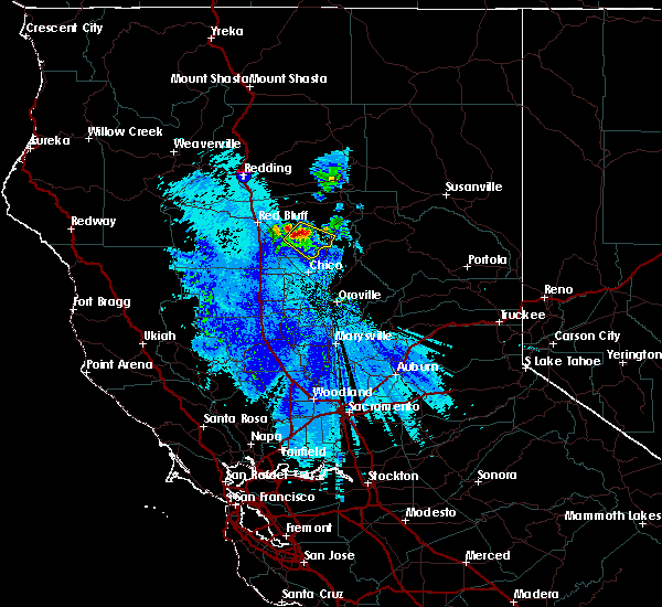 At 244 am pdt, a severe thunderstorm was located 12 miles east of tehama, or 18 miles northeast of corning, moving southeast at 20 mph (radar indicated). Hazards include 60 mph wind gusts and quarter size hail. Hail damage to vehicles is expected. expect wind damage to roofs, siding, and trees. This severe thunderstorm will remain over mainly rural areas of southeastern tehama county. At 244 am pdt, a severe thunderstorm was located 12 miles east of tehama, or 18 miles northeast of corning, moving southeast at 20 mph (radar indicated). Hazards include 60 mph wind gusts and quarter size hail. Hail damage to vehicles is expected. expect wind damage to roofs, siding, and trees. This severe thunderstorm will remain over mainly rural areas of southeastern tehama county.
|
| 3/16/2018 6:18 PM PDT |
 At 615 pm pdt, a severe thunderstorm was located 8 miles east of vina, or 15 miles north of chico, moving northeast at 15 mph. the storm has shown signs of weakening since 605 pm, but is still capable of producing half inch or larger hail which may accumulate on the ground (radar indicated). Hazards include half to three quarter inch size hail. Damage to vehicles, and hail accumulating on the ground. Locations impacted include, rural areas east of vina. At 615 pm pdt, a severe thunderstorm was located 8 miles east of vina, or 15 miles north of chico, moving northeast at 15 mph. the storm has shown signs of weakening since 605 pm, but is still capable of producing half inch or larger hail which may accumulate on the ground (radar indicated). Hazards include half to three quarter inch size hail. Damage to vehicles, and hail accumulating on the ground. Locations impacted include, rural areas east of vina.
|
| 3/16/2018 6:02 PM PDT |
 The national weather service in sacramento has issued a * severe thunderstorm warning for. south central tehama county in northern california. west central butte county in northern california. Until 630 pm pdt * at 600 pm pdt, a severe thunderstorm was located near vina, or 11. The national weather service in sacramento has issued a * severe thunderstorm warning for. south central tehama county in northern california. west central butte county in northern california. Until 630 pm pdt * at 600 pm pdt, a severe thunderstorm was located near vina, or 11.
|
| 10/2/2016 4:46 PM PDT |
 At 440 pm pdt, doppler radar indicated a severe thunderstorm capable of producing quarter size or larger hail. this storm was located near chico, moving east-southeast at 20 mph. residents should prepare for large hail and heavy downpours. locations possibly impacted include, chico, paradise, de sabla powerhouse, forest ranch, richardson springs, nord, magalia, durham and hamilton city. At 440 pm pdt, doppler radar indicated a severe thunderstorm capable of producing quarter size or larger hail. this storm was located near chico, moving east-southeast at 20 mph. residents should prepare for large hail and heavy downpours. locations possibly impacted include, chico, paradise, de sabla powerhouse, forest ranch, richardson springs, nord, magalia, durham and hamilton city.
|
| 10/2/2016 4:28 PM PDT |
 At 425 pm pdt, doppler radar indicated a severe thunderstorm capable of producing quarter size hail and gusty outflow winds. this storm was located near nord, and moving east at 30 mph towards chico. At 425 pm pdt, doppler radar indicated a severe thunderstorm capable of producing quarter size hail and gusty outflow winds. this storm was located near nord, and moving east at 30 mph towards chico.
|
Hail Maps for Cohasset, CA


Connect with Interactive Hail Maps