

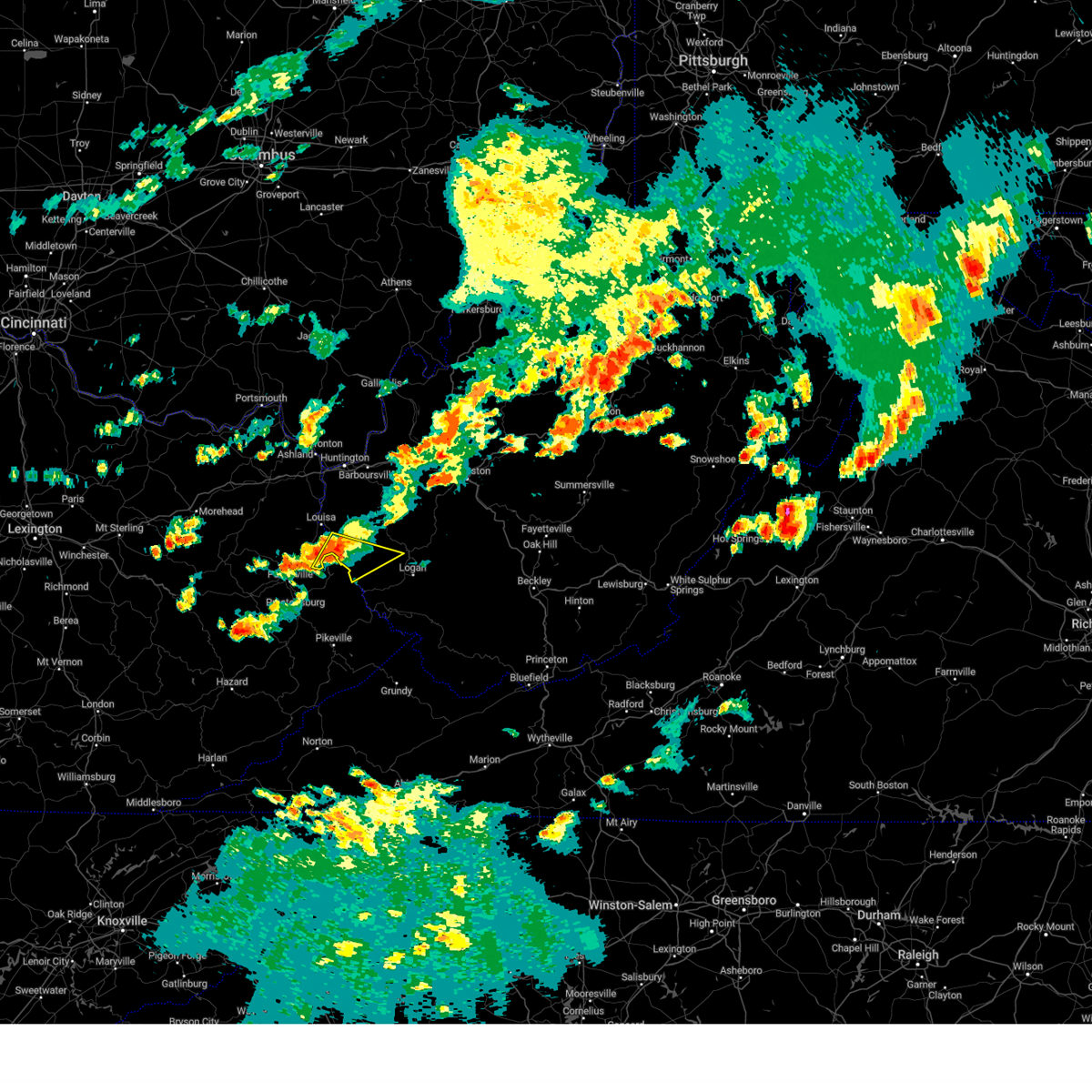
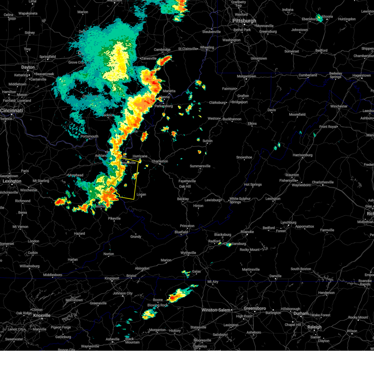
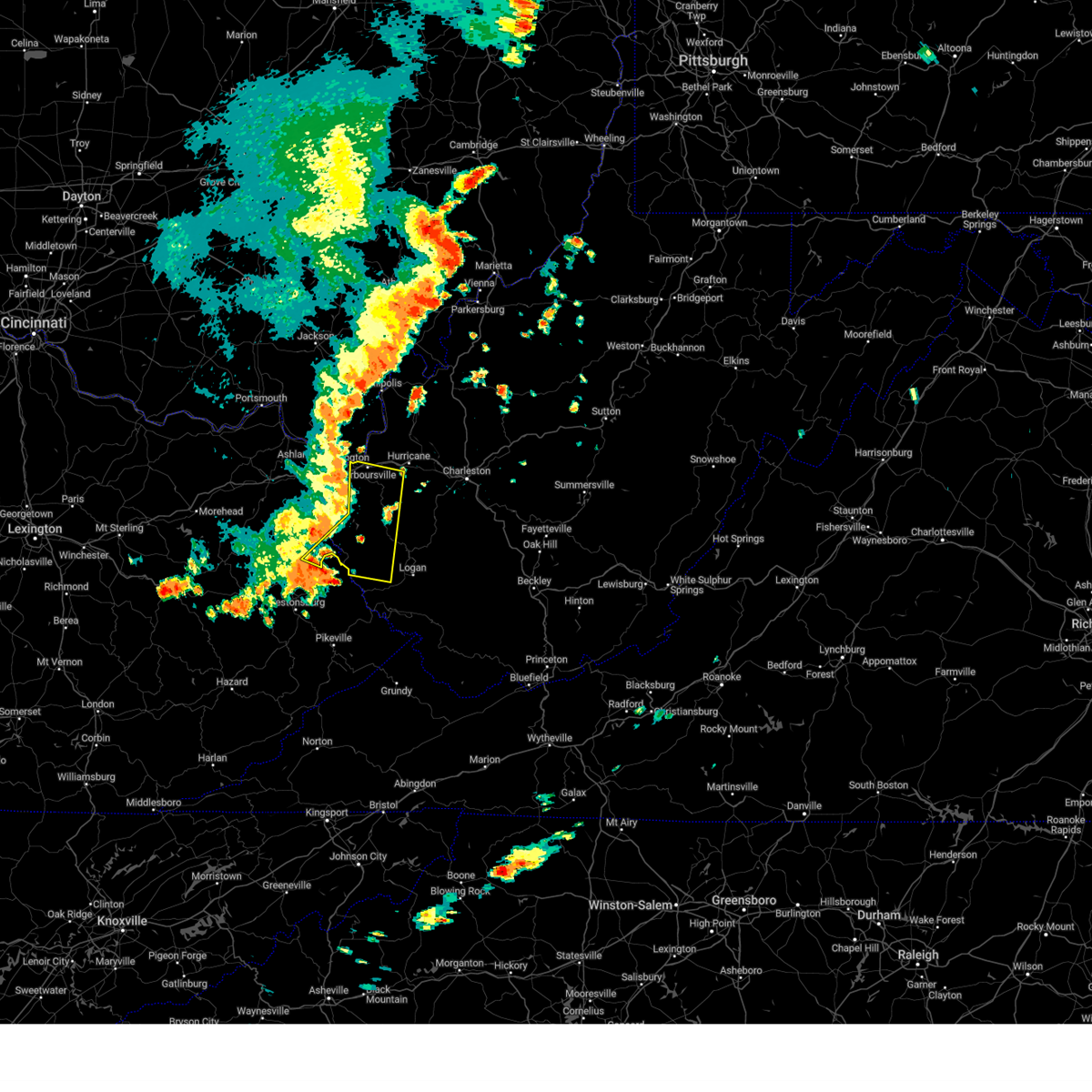
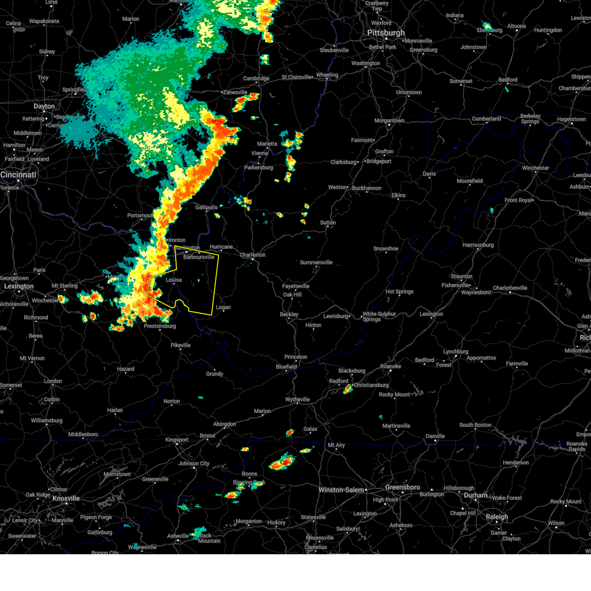
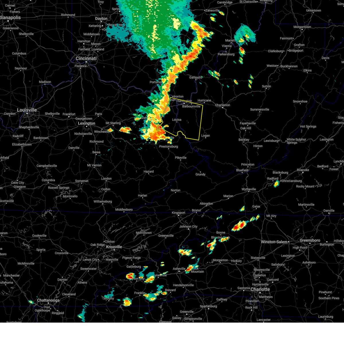
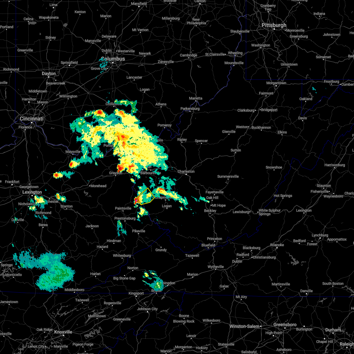
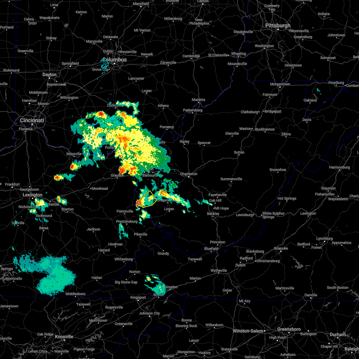
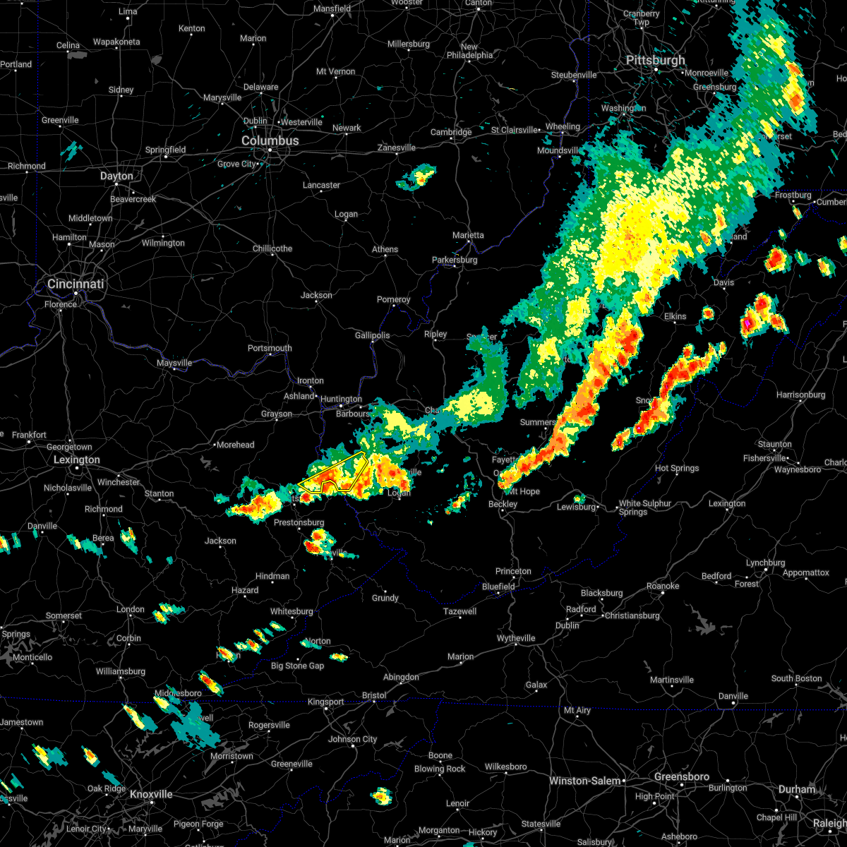
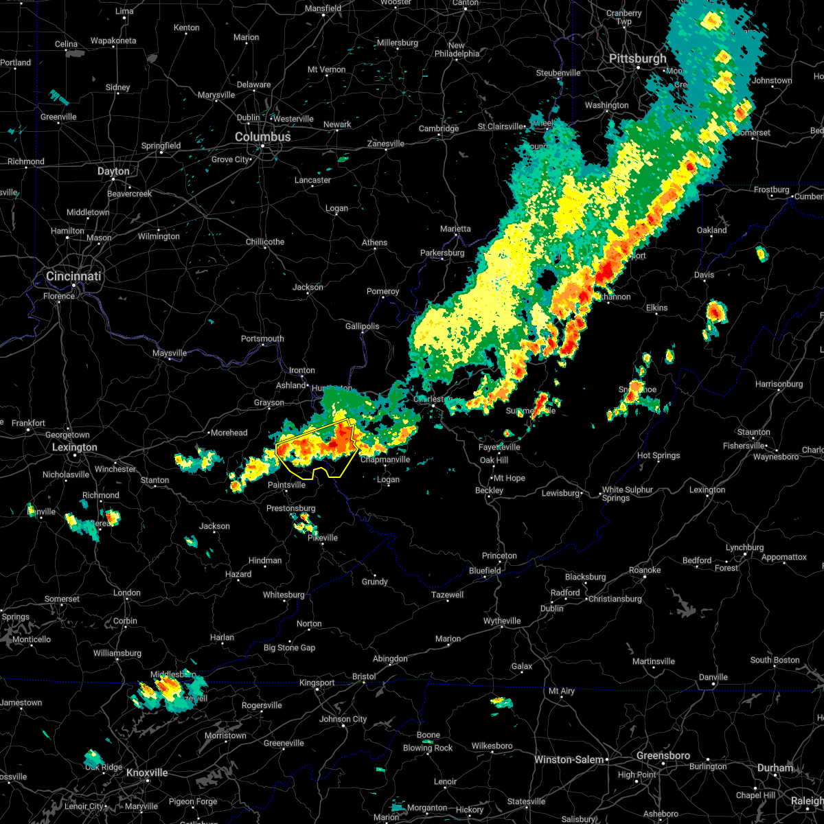
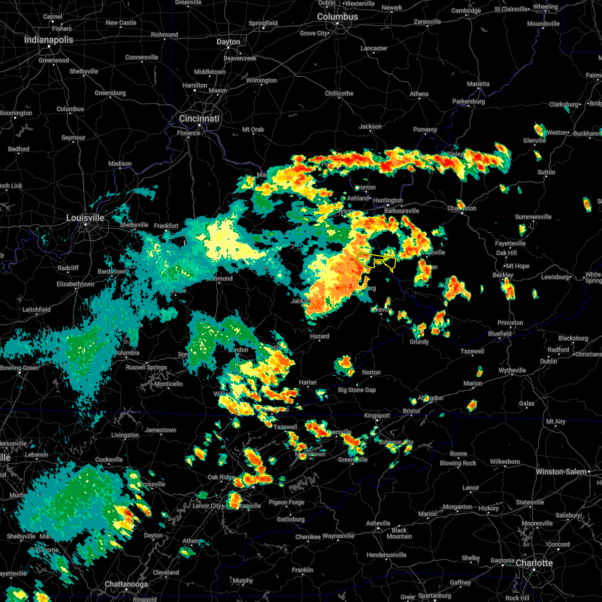
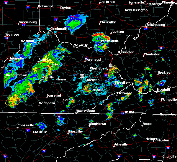
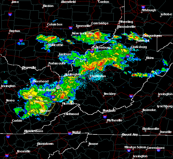
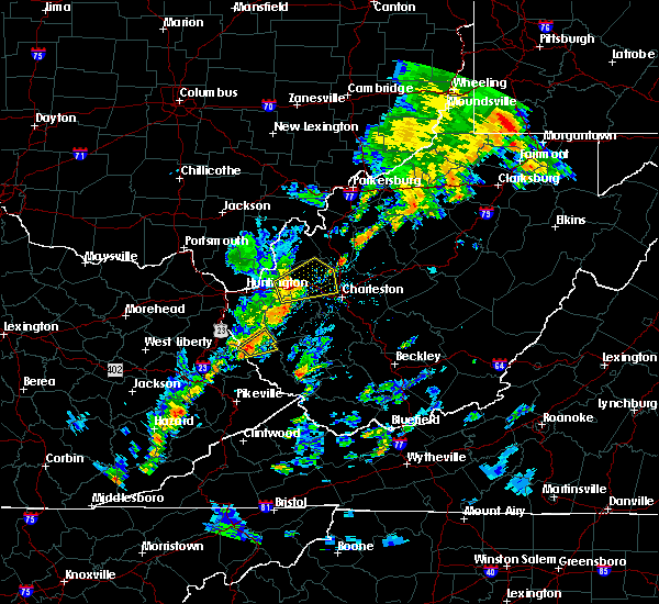
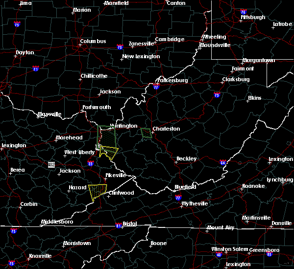
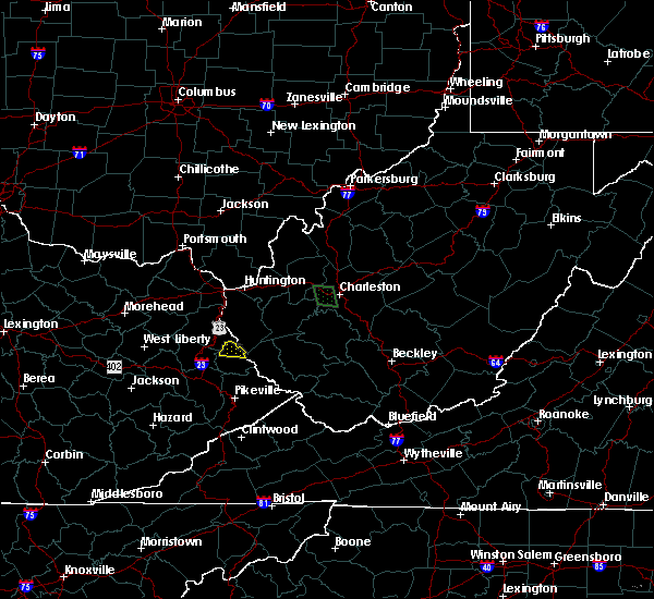
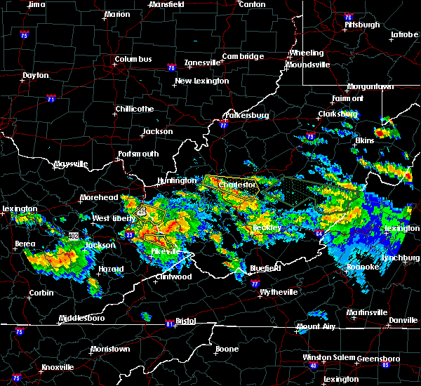
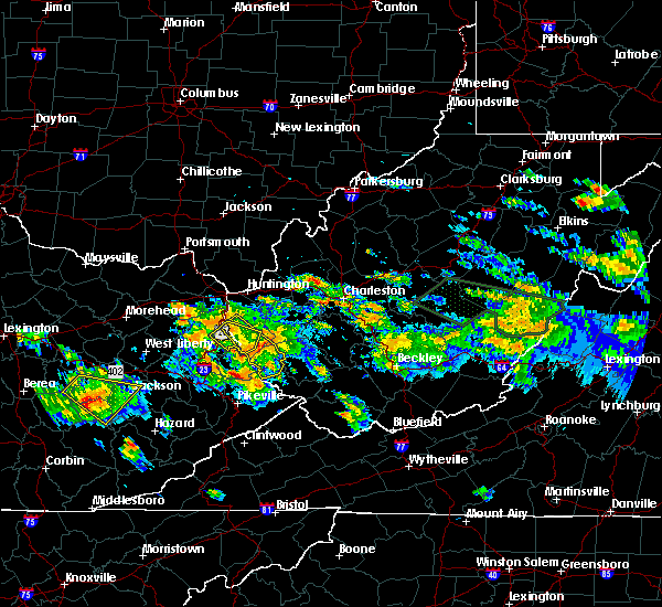
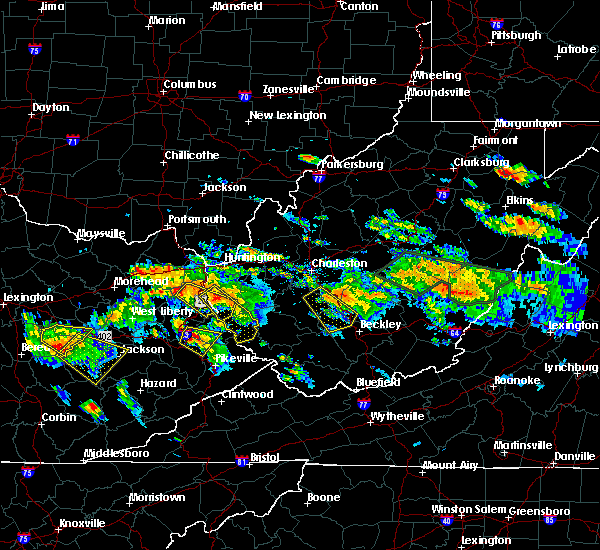
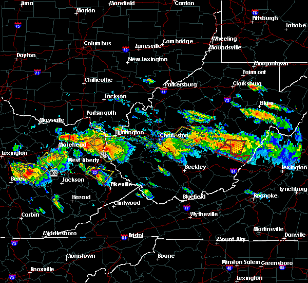
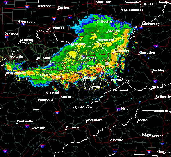
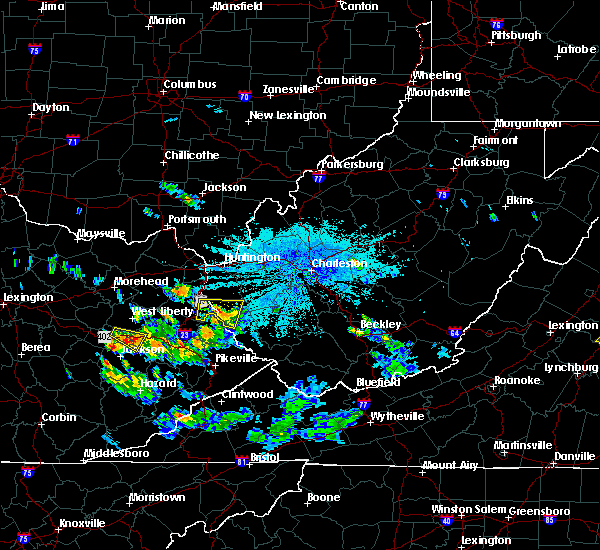
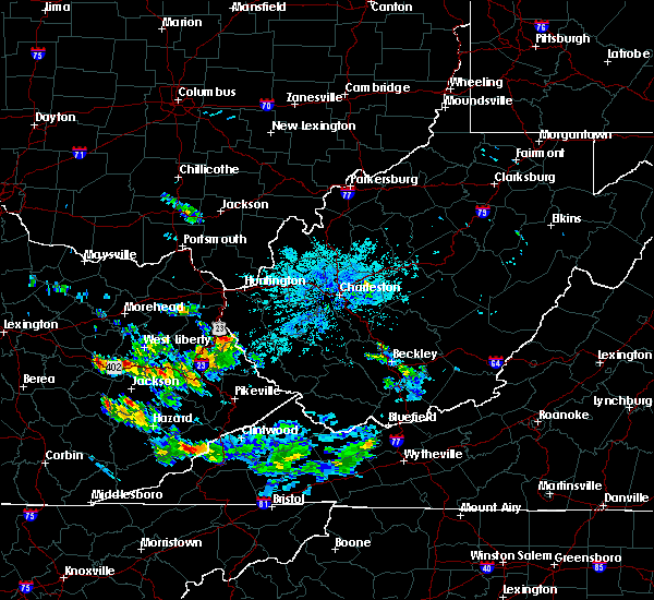
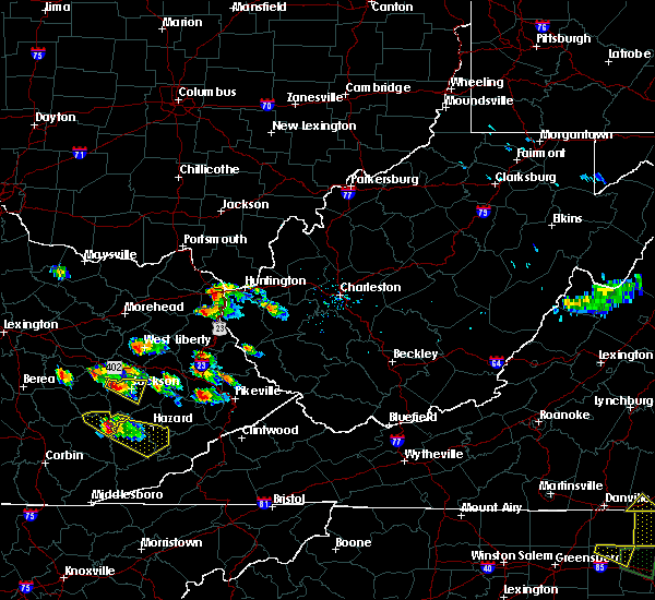
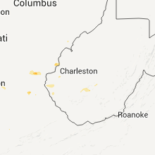
Hail Map for Crum, WV
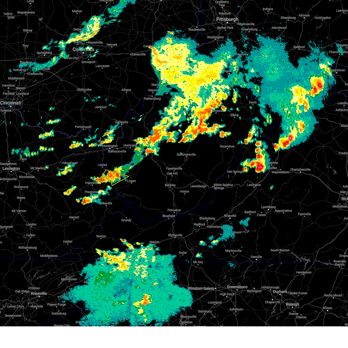
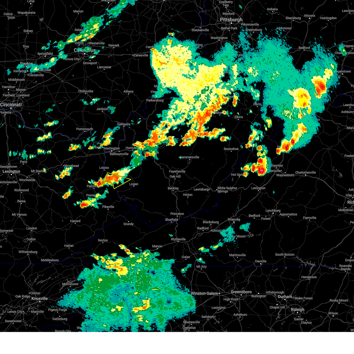
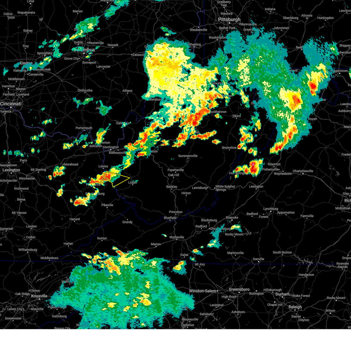
The Crum, WV area has had 3 reports of on-the-ground hail by trained spotters, and has been under severe weather warnings 14 times during the past 12 months. Doppler radar has detected hail at or near Crum, WV on 27 occasions, including 3 occasions during the past year.
| Name: | Crum, WV |
| Where Located: | 53.5 miles SW of Charleston, WV |
| Map: | Google Map for Crum, WV |
| Population: | 182 |
| Housing Units: | 86 |
| More Info: | Search Google for Crum, WV |
2
The Top Recent Hail Date for Crum, WV is Tuesday, May 9, 2023 (8th out of 27)
Hail and Wind Damage Spotted near Crum, WV
| Date / Time | Report Details |
|---|---|
| 8/7/2023 4:05 PM EDT |
 The severe thunderstorm warning for southeastern lawrence, northwestern mingo, southwestern lincoln, northwestern logan and southern wayne counties will expire at 415 pm edt, the storm which prompted the warning has moved out of the area. therefore, the warning will be allowed to expire. a tornado watch remains in effect until 600 pm edt for northeastern kentucky, and central, southern and western west virginia. The severe thunderstorm warning for southeastern lawrence, northwestern mingo, southwestern lincoln, northwestern logan and southern wayne counties will expire at 415 pm edt, the storm which prompted the warning has moved out of the area. therefore, the warning will be allowed to expire. a tornado watch remains in effect until 600 pm edt for northeastern kentucky, and central, southern and western west virginia.
|
| 8/7/2023 3:55 PM EDT |
 At 355 pm edt, a severe thunderstorm was located near calf creek, or 8 miles northeast of inez, moving east at 30 mph (radar indicated). Hazards include 60 mph wind gusts and quarter size hail. Hail damage to vehicles is expected. expect wind damage to roofs, siding, and trees. Locations impacted include, dunlow, kermit, wilsondale, crum, clifford, glenhayes, and breeden. At 355 pm edt, a severe thunderstorm was located near calf creek, or 8 miles northeast of inez, moving east at 30 mph (radar indicated). Hazards include 60 mph wind gusts and quarter size hail. Hail damage to vehicles is expected. expect wind damage to roofs, siding, and trees. Locations impacted include, dunlow, kermit, wilsondale, crum, clifford, glenhayes, and breeden.
|
| 8/7/2023 3:48 PM EDT |
 At 348 pm edt, a severe thunderstorm was located over calf creek, or near inez, moving east at 25 mph (radar indicated). Hazards include 60 mph wind gusts and quarter size hail. Hail damage to vehicles is expected. Expect wind damage to roofs, siding, and trees. At 348 pm edt, a severe thunderstorm was located over calf creek, or near inez, moving east at 25 mph (radar indicated). Hazards include 60 mph wind gusts and quarter size hail. Hail damage to vehicles is expected. Expect wind damage to roofs, siding, and trees.
|
| 7/28/2023 2:36 PM EDT |
 At 236 pm edt, a severe thunderstorm was located near ranger, or 14 miles southeast of wayne, moving southeast at 50 mph (radar indicated). Hazards include 60 mph wind gusts and penny size hail. Expect damage to roofs, siding, and trees. locations impacted include, huntington, hamlin, beech fork state park, barboursville, ranger, harts, gill, ulysses, east lynn lake, kiahsville, dunlow, west hamlin, crum, glenhayes, salt rock, pea ridge, wilsondale, east lynn, genoa, and breeden. hail threat, radar indicated max hail size, 0. 75 in wind threat, radar indicated max wind gust, 60 mph. At 236 pm edt, a severe thunderstorm was located near ranger, or 14 miles southeast of wayne, moving southeast at 50 mph (radar indicated). Hazards include 60 mph wind gusts and penny size hail. Expect damage to roofs, siding, and trees. locations impacted include, huntington, hamlin, beech fork state park, barboursville, ranger, harts, gill, ulysses, east lynn lake, kiahsville, dunlow, west hamlin, crum, glenhayes, salt rock, pea ridge, wilsondale, east lynn, genoa, and breeden. hail threat, radar indicated max hail size, 0. 75 in wind threat, radar indicated max wind gust, 60 mph.
|
| 7/28/2023 2:23 PM EDT |
 At 223 pm edt, a severe thunderstorm was located over east lynn lake, or near wayne, moving southeast at 50 mph (radar indicated). Hazards include 60 mph wind gusts and penny size hail. Expect damage to roofs, siding, and trees. locations impacted include, huntington, louisa, wayne, hamlin, chesapeake, proctorville, blaine, beech fork state park, yatesville lake state park, barboursville, kenova, ceredo, fort gay, ranger, harts, martha, gill, ulysses, east lynn lake, and charley. hail threat, radar indicated max hail size, 0. 75 in wind threat, radar indicated max wind gust, 60 mph. At 223 pm edt, a severe thunderstorm was located over east lynn lake, or near wayne, moving southeast at 50 mph (radar indicated). Hazards include 60 mph wind gusts and penny size hail. Expect damage to roofs, siding, and trees. locations impacted include, huntington, louisa, wayne, hamlin, chesapeake, proctorville, blaine, beech fork state park, yatesville lake state park, barboursville, kenova, ceredo, fort gay, ranger, harts, martha, gill, ulysses, east lynn lake, and charley. hail threat, radar indicated max hail size, 0. 75 in wind threat, radar indicated max wind gust, 60 mph.
|
| 7/28/2023 2:06 PM EDT |
 At 206 pm edt, a severe thunderstorm was located near durbin, or near yatesville lake state park, moving southeast at 50 mph (radar indicated). Hazards include 60 mph wind gusts and nickel size hail. expect damage to roofs, siding, and trees At 206 pm edt, a severe thunderstorm was located near durbin, or near yatesville lake state park, moving southeast at 50 mph (radar indicated). Hazards include 60 mph wind gusts and nickel size hail. expect damage to roofs, siding, and trees
|
| 3/3/2023 5:00 PM EST | Wayne county 911 has several reports of trees and power lines down in the town of crum... wv. there are power outages associated with this as well. time estimated by ra in wayne county WV, 2.2 miles SE of Crum, WV |
| 3/3/2023 4:56 PM EST | Wayne county 911 center advised there are several reports of trees and lines down in the dunlow area of the county. time estimated by rada in wayne county WV, 9.7 miles S of Crum, WV |
| 10/12/2022 4:54 PM EDT |
 At 454 pm edt, a severe thunderstorm was located near calf creek, or 7 miles northeast of inez, moving northeast at 30 mph (radar indicated). Hazards include 60 mph wind gusts and quarter size hail. Hail damage to vehicles is expected. Expect wind damage to roofs, siding, and trees. At 454 pm edt, a severe thunderstorm was located near calf creek, or 7 miles northeast of inez, moving northeast at 30 mph (radar indicated). Hazards include 60 mph wind gusts and quarter size hail. Hail damage to vehicles is expected. Expect wind damage to roofs, siding, and trees.
|
| 7/23/2022 4:36 PM EDT |
 At 436 pm edt, a severe thunderstorm was located near kiahsville, or 14 miles southeast of wayne, moving southeast at 25 mph (radar indicated). Hazards include 60 mph wind gusts and quarter size hail. Hail damage to vehicles is expected. expect wind damage to roofs, siding, and trees. locations impacted include, kiahsville, dunlow, ulysses, charley, crum, clifford and glenhayes. hail threat, radar indicated max hail size, 1. 00 in wind threat, radar indicated max wind gust, 60 mph. At 436 pm edt, a severe thunderstorm was located near kiahsville, or 14 miles southeast of wayne, moving southeast at 25 mph (radar indicated). Hazards include 60 mph wind gusts and quarter size hail. Hail damage to vehicles is expected. expect wind damage to roofs, siding, and trees. locations impacted include, kiahsville, dunlow, ulysses, charley, crum, clifford and glenhayes. hail threat, radar indicated max hail size, 1. 00 in wind threat, radar indicated max wind gust, 60 mph.
|
| 7/23/2022 4:08 PM EDT |
 At 407 pm edt, a severe thunderstorm was located near east lynn lake, or near wayne, moving southeast at 25 mph (radar indicated). Hazards include 60 mph wind gusts and quarter size hail. Hail damage to vehicles is expected. expect wind damage to roofs, siding, and trees. locations impacted include, louisa, wayne, blaine, yatesville lake state park, fort gay, ulysses, east lynn lake, charley, kiahsville, dunlow, gallup, crum, clifford, glenhayes, houckville, east lynn and genoa. hail threat, radar indicated max hail size, 1. 00 in wind threat, radar indicated max wind gust, 60 mph. At 407 pm edt, a severe thunderstorm was located near east lynn lake, or near wayne, moving southeast at 25 mph (radar indicated). Hazards include 60 mph wind gusts and quarter size hail. Hail damage to vehicles is expected. expect wind damage to roofs, siding, and trees. locations impacted include, louisa, wayne, blaine, yatesville lake state park, fort gay, ulysses, east lynn lake, charley, kiahsville, dunlow, gallup, crum, clifford, glenhayes, houckville, east lynn and genoa. hail threat, radar indicated max hail size, 1. 00 in wind threat, radar indicated max wind gust, 60 mph.
|
| 7/23/2022 3:38 PM EDT |
 At 338 pm edt, a severe thunderstorm was located over durbin, or 7 miles northeast of yatesville lake state park, moving southeast at 25 mph (radar indicated). Hazards include 60 mph wind gusts and quarter size hail. Hail damage to vehicles is expected. Expect wind damage to roofs, siding, and trees. At 338 pm edt, a severe thunderstorm was located over durbin, or 7 miles northeast of yatesville lake state park, moving southeast at 25 mph (radar indicated). Hazards include 60 mph wind gusts and quarter size hail. Hail damage to vehicles is expected. Expect wind damage to roofs, siding, and trees.
|
| 7/5/2022 2:47 PM EDT |
 At 246 pm edt, severe thunderstorms were located along a line extending from near whitepost to ivel, moving southeast at 45 mph (radar indicated). Hazards include 60 mph wind gusts. Expect damage to roofs, siding, and trees. severe thunderstorms will be near, forest hills around 250 pm edt. pikeville around 255 pm edt. buskirk around 300 pm edt. chloe around 305 pm edt. other locations in the path of these severe thunderstorms include fishtrap lake and belcher. hail threat, radar indicated max hail size, <. 75 in wind threat, radar indicated max wind gust, 60 mph. At 246 pm edt, severe thunderstorms were located along a line extending from near whitepost to ivel, moving southeast at 45 mph (radar indicated). Hazards include 60 mph wind gusts. Expect damage to roofs, siding, and trees. severe thunderstorms will be near, forest hills around 250 pm edt. pikeville around 255 pm edt. buskirk around 300 pm edt. chloe around 305 pm edt. other locations in the path of these severe thunderstorms include fishtrap lake and belcher. hail threat, radar indicated max hail size, <. 75 in wind threat, radar indicated max wind gust, 60 mph.
|
| 6/17/2022 1:53 PM EDT |
 The severe thunderstorm warning for southeastern lawrence and south central wayne counties will expire at 200 pm edt, the storm which prompted the warning has weakened below severe limits, and has exited the warned area. therefore, the warning will be allowed to expire. however gusty winds are still possible with this thunderstorm. a severe thunderstorm watch remains in effect until 300 pm edt for northeastern kentucky. a severe thunderstorm watch also remains in effect until 500 pm edt for southern and western west virginia. to report severe weather, contact your nearest law enforcement agency. they will relay your report to the national weather service charleston west virginia. The severe thunderstorm warning for southeastern lawrence and south central wayne counties will expire at 200 pm edt, the storm which prompted the warning has weakened below severe limits, and has exited the warned area. therefore, the warning will be allowed to expire. however gusty winds are still possible with this thunderstorm. a severe thunderstorm watch remains in effect until 300 pm edt for northeastern kentucky. a severe thunderstorm watch also remains in effect until 500 pm edt for southern and western west virginia. to report severe weather, contact your nearest law enforcement agency. they will relay your report to the national weather service charleston west virginia.
|
| 6/17/2022 1:35 PM EDT |
 At 134 pm edt, a severe thunderstorm was located over ulysses, or 8 miles northeast of paintsville, moving east at 35 mph (radar indicated). Hazards include 60 mph wind gusts. expect damage to roofs, siding, and trees At 134 pm edt, a severe thunderstorm was located over ulysses, or 8 miles northeast of paintsville, moving east at 35 mph (radar indicated). Hazards include 60 mph wind gusts. expect damage to roofs, siding, and trees
|
| 6/17/2022 1:12 PM EDT | Multiple trees and powerlines down in dunlo in wayne county WV, 9.7 miles S of Crum, WV |
| 6/13/2022 9:01 PM EDT |
 The national weather service in charleston west virginia has issued a * severe thunderstorm warning for. southern boyd county in northeastern kentucky. lawrence county in northeastern kentucky. southeastern carter county in northeastern kentucky. Southwestern cabell county in central west virginia. The national weather service in charleston west virginia has issued a * severe thunderstorm warning for. southern boyd county in northeastern kentucky. lawrence county in northeastern kentucky. southeastern carter county in northeastern kentucky. Southwestern cabell county in central west virginia.
|
| 12/29/2019 11:27 PM EST |
 The severe thunderstorm warning for martin, johnson, northern floyd and northwestern pike counties will expire at 1130 pm est, the storms which prompted the warning have weakened below severe limits, and no longer pose an immediate threat to life or property. therefore, the warning will be allowed to expire. The severe thunderstorm warning for martin, johnson, northern floyd and northwestern pike counties will expire at 1130 pm est, the storms which prompted the warning have weakened below severe limits, and no longer pose an immediate threat to life or property. therefore, the warning will be allowed to expire.
|
| 12/29/2019 11:17 PM EST |
 At 1116 pm est, severe thunderstorms were located along a line extending from falcon to near ivyton to orchard, moving northeast at 55 mph (radar indicated). Hazards include 60 mph wind gusts. Expect damage to roofs, siding, and trees. Locations impacted include, paintsville, prestonsburg, inez, martin, allen, oaklawn estates, bammer, davella, lancer, whitehouse, collista and west van lear. At 1116 pm est, severe thunderstorms were located along a line extending from falcon to near ivyton to orchard, moving northeast at 55 mph (radar indicated). Hazards include 60 mph wind gusts. Expect damage to roofs, siding, and trees. Locations impacted include, paintsville, prestonsburg, inez, martin, allen, oaklawn estates, bammer, davella, lancer, whitehouse, collista and west van lear.
|
| 12/29/2019 11:05 PM EST |
 At 1105 pm est, severe thunderstorms were located along a line extending from gullett to carver station to near vail, moving northeast at 55 mph (radar indicated). Hazards include 60 mph wind gusts. expect damage to roofs, siding, and trees At 1105 pm est, severe thunderstorms were located along a line extending from gullett to carver station to near vail, moving northeast at 55 mph (radar indicated). Hazards include 60 mph wind gusts. expect damage to roofs, siding, and trees
|
| 8/20/2019 7:22 PM EDT |
 At 721 pm edt, a severe thunderstorm was located near job, or 8 miles north of inez, moving northeast at 15 mph (radar indicated). Hazards include 60 mph wind gusts and quarter size hail. Hail damage to vehicles is expected. expect wind damage to roofs, siding, and trees. Locations impacted include, crum, clifford and glenhayes. At 721 pm edt, a severe thunderstorm was located near job, or 8 miles north of inez, moving northeast at 15 mph (radar indicated). Hazards include 60 mph wind gusts and quarter size hail. Hail damage to vehicles is expected. expect wind damage to roofs, siding, and trees. Locations impacted include, crum, clifford and glenhayes.
|
| 8/20/2019 6:55 PM EDT |
 The national weather service in charleston west virginia has issued a * severe thunderstorm warning for. southeastern lawrence county in northeastern kentucky. southwestern wayne county in western west virginia. until 745 pm edt. At 654 pm edt, a severe thunderstorm was located over milo, or near. The national weather service in charleston west virginia has issued a * severe thunderstorm warning for. southeastern lawrence county in northeastern kentucky. southwestern wayne county in western west virginia. until 745 pm edt. At 654 pm edt, a severe thunderstorm was located over milo, or near.
|
| 6/24/2019 6:41 PM EDT |
 The severe thunderstorm warning for northwestern mingo, southwestern lincoln, northwestern logan, southeastern wayne and west central boone counties will expire at 645 pm edt, the storms which prompted the warning have moved out of the area. therefore, the warning will be allowed to expire. however gusty winds are still possible with these thunderstorms. a severe thunderstorm watch remains in effect until 900 pm edt for central, southern and western west virginia. The severe thunderstorm warning for northwestern mingo, southwestern lincoln, northwestern logan, southeastern wayne and west central boone counties will expire at 645 pm edt, the storms which prompted the warning have moved out of the area. therefore, the warning will be allowed to expire. however gusty winds are still possible with these thunderstorms. a severe thunderstorm watch remains in effect until 900 pm edt for central, southern and western west virginia.
|
| 6/24/2019 6:20 PM EDT |
 At 620 pm edt, severe thunderstorms were located along a line extending from near ranger to near delbarton to garden village, moving east at 50 mph (radar indicated). Hazards include 60 mph wind gusts. Expect damage to roofs, siding, and trees. Locations impacted include, logan, chapmanville, chief logan state, ranger, holden, gill, mount gay-shamrock, spurlockville, dunlow, harts, west logan, kermit, mitchell heights, mount gay, verdunville, naugatuck, dingess, wilsondale, mud and lenore. At 620 pm edt, severe thunderstorms were located along a line extending from near ranger to near delbarton to garden village, moving east at 50 mph (radar indicated). Hazards include 60 mph wind gusts. Expect damage to roofs, siding, and trees. Locations impacted include, logan, chapmanville, chief logan state, ranger, holden, gill, mount gay-shamrock, spurlockville, dunlow, harts, west logan, kermit, mitchell heights, mount gay, verdunville, naugatuck, dingess, wilsondale, mud and lenore.
|
| 6/24/2019 5:55 PM EDT |
 At 555 pm edt, severe thunderstorms were located along a line extending from near louisa to mcclure to demo, moving east at 50 mph (radar indicated). Hazards include 60 mph wind gusts. expect damage to roofs, siding, and trees At 555 pm edt, severe thunderstorms were located along a line extending from near louisa to mcclure to demo, moving east at 50 mph (radar indicated). Hazards include 60 mph wind gusts. expect damage to roofs, siding, and trees
|
| 6/16/2019 9:06 PM EDT |
 At 905 pm edt, severe thunderstorms were located along a line extending from 7 miles south of gallipolis to near milton to near kiahsville to near charley, moving east at 40 mph (radar indicated). Hazards include 60 mph wind gusts and nickel size hail. Expect damage to roofs, siding, and trees. Locations impacted include, huntington, nitro, louisa, winfield, wayne, hamlin, proctorville, blaine, beech fork state park, yatesville lake state park, hurricane, barboursville, milton, eleanor, buffalo, poca, fort gay, ranger, harts and martha. At 905 pm edt, severe thunderstorms were located along a line extending from 7 miles south of gallipolis to near milton to near kiahsville to near charley, moving east at 40 mph (radar indicated). Hazards include 60 mph wind gusts and nickel size hail. Expect damage to roofs, siding, and trees. Locations impacted include, huntington, nitro, louisa, winfield, wayne, hamlin, proctorville, blaine, beech fork state park, yatesville lake state park, hurricane, barboursville, milton, eleanor, buffalo, poca, fort gay, ranger, harts and martha.
|
| 6/16/2019 8:42 PM EDT |
 At 840 pm edt, severe thunderstorms were located along a line extending from 11 miles northeast of lake vesuvius to near huntington to near fort gay to martha, moving east at 40 mph. this line of storms recently produced damage in ashland (radar indicated). Hazards include 60 mph wind gusts and quarter size hail. Hail damage to vehicles is expected. Expect wind damage to roofs, siding, and trees. At 840 pm edt, severe thunderstorms were located along a line extending from 11 miles northeast of lake vesuvius to near huntington to near fort gay to martha, moving east at 40 mph. this line of storms recently produced damage in ashland (radar indicated). Hazards include 60 mph wind gusts and quarter size hail. Hail damage to vehicles is expected. Expect wind damage to roofs, siding, and trees.
|
| 6/2/2019 6:18 PM EDT |
 At 617 pm edt, a severe thunderstorm was located near dunlow, or 11 miles northeast of inez, moving southeast at 40 mph (radar indicated). Hazards include 60 mph wind gusts and half dollar size hail. Hail damage to vehicles is expected. Expect wind damage to roofs, siding, and trees. At 617 pm edt, a severe thunderstorm was located near dunlow, or 11 miles northeast of inez, moving southeast at 40 mph (radar indicated). Hazards include 60 mph wind gusts and half dollar size hail. Hail damage to vehicles is expected. Expect wind damage to roofs, siding, and trees.
|
| 5/26/2019 7:27 PM EDT |
 At 727 pm edt, a severe thunderstorm was located over oppy, or 10 miles northwest of williamson, moving east at 50 mph (radar indicated). Hazards include 60 mph wind gusts. expect damage to roofs, siding, and trees At 727 pm edt, a severe thunderstorm was located over oppy, or 10 miles northwest of williamson, moving east at 50 mph (radar indicated). Hazards include 60 mph wind gusts. expect damage to roofs, siding, and trees
|
| 7/31/2018 2:22 PM EDT |
 At 222 pm edt, a severe thunderstorm was located over hode, or near inez, moving northeast at 20 mph (radar indicated). Hazards include 60 mph wind gusts and quarter size hail. Hail damage to vehicles is expected. Expect wind damage to roofs, siding, and trees. At 222 pm edt, a severe thunderstorm was located over hode, or near inez, moving northeast at 20 mph (radar indicated). Hazards include 60 mph wind gusts and quarter size hail. Hail damage to vehicles is expected. Expect wind damage to roofs, siding, and trees.
|
| 7/1/2018 7:32 PM EDT |
 At 732 pm edt, a severe thunderstorm was located near job, or 7 miles south of louisa, moving north at 15 mph (radar indicated). Hazards include 60 mph wind gusts and penny size hail. Expect damage to roofs, siding, and trees. Locations impacted include, dunlow, clifford, glenhayes, wilsondale and crum. At 732 pm edt, a severe thunderstorm was located near job, or 7 miles south of louisa, moving north at 15 mph (radar indicated). Hazards include 60 mph wind gusts and penny size hail. Expect damage to roofs, siding, and trees. Locations impacted include, dunlow, clifford, glenhayes, wilsondale and crum.
|
| 7/1/2018 7:10 PM EDT |
 At 709 pm edt, a severe thunderstorm was located over calf creek, or near inez, moving north at 15 mph (radar indicated). Hazards include 60 mph wind gusts and quarter size hail. Hail damage to vehicles is expected. Expect wind damage to roofs, siding, and trees. At 709 pm edt, a severe thunderstorm was located over calf creek, or near inez, moving north at 15 mph (radar indicated). Hazards include 60 mph wind gusts and quarter size hail. Hail damage to vehicles is expected. Expect wind damage to roofs, siding, and trees.
|
| 7/1/2018 7:10 PM EDT |
 The national weather service in charleston west virginia has issued a * severe thunderstorm warning for. southeastern lawrence county in northeastern kentucky. northwestern mingo county in southern west virginia. southern wayne county in western west virginia. Until 745 pm edt. The national weather service in charleston west virginia has issued a * severe thunderstorm warning for. southeastern lawrence county in northeastern kentucky. northwestern mingo county in southern west virginia. southern wayne county in western west virginia. Until 745 pm edt.
|
| 7/1/2018 7:07 PM EDT |
 At 707 pm edt, a severe thunderstorm was located over calf creek, or near inez, moving north at 20 mph (radar indicated). Hazards include 60 mph wind gusts and nickel size hail. expect damage to roofs, siding, and trees At 707 pm edt, a severe thunderstorm was located over calf creek, or near inez, moving north at 20 mph (radar indicated). Hazards include 60 mph wind gusts and nickel size hail. expect damage to roofs, siding, and trees
|
| 4/3/2018 11:52 PM EDT |
 At 1152 pm edt, a severe thunderstorm was located over blaine, moving northeast at 55 mph (radar indicated). Hazards include 60 mph wind gusts and penny size hail. Expect damage to roofs, siding, and trees. Locations impacted include, louisa, blaine, yatesville lake state park, fort gay, ulysses, charley, houckville, gallup, fallsburg, clifford, glenhayes and buchanan. At 1152 pm edt, a severe thunderstorm was located over blaine, moving northeast at 55 mph (radar indicated). Hazards include 60 mph wind gusts and penny size hail. Expect damage to roofs, siding, and trees. Locations impacted include, louisa, blaine, yatesville lake state park, fort gay, ulysses, charley, houckville, gallup, fallsburg, clifford, glenhayes and buchanan.
|
| 4/3/2018 11:37 PM EDT |
 The national weather service in charleston west virginia has issued a * severe thunderstorm warning for. lawrence county in northeastern kentucky. southwestern wayne county in western west virginia. Until midnight edt * at 1137 pm edt, a severe thunderstorm was located over moon, or 9. The national weather service in charleston west virginia has issued a * severe thunderstorm warning for. lawrence county in northeastern kentucky. southwestern wayne county in western west virginia. Until midnight edt * at 1137 pm edt, a severe thunderstorm was located over moon, or 9.
|
| 4/3/2018 11:37 PM EDT |
 At 1137 pm edt, a severe thunderstorm was located over moon, or 9 miles south of sandy hook, moving east at 55 mph (radar indicated). Hazards include 60 mph wind gusts and penny size hail. expect damage to roofs, siding, and trees At 1137 pm edt, a severe thunderstorm was located over moon, or 9 miles south of sandy hook, moving east at 55 mph (radar indicated). Hazards include 60 mph wind gusts and penny size hail. expect damage to roofs, siding, and trees
|
| 3/1/2017 9:47 AM EST |
 At 947 am est, severe thunderstorms were located along a line extending from near nitro to near hode, moving east at 45 mph (radar indicated). Hazards include 70 mph wind gusts and quarter size hail. Hail damage to vehicles is expected. expect considerable tree damage. wind damage is also likely to mobile homes, roofs, and outbuildings. locations impacted include, charleston, hamlin, jefferson, south charleston, st. albans, dunbar, hurricane, barboursville, milton, ranger, ona, culloden, spurlockville, tornado, harts, gill, alum creek, east lynn lake, kiahsville and dunlow. this includes the following highways, interstate 64 in west virginia between mile markers 19 and 33. Route 119 between mile markers 60 and 79. At 947 am est, severe thunderstorms were located along a line extending from near nitro to near hode, moving east at 45 mph (radar indicated). Hazards include 70 mph wind gusts and quarter size hail. Hail damage to vehicles is expected. expect considerable tree damage. wind damage is also likely to mobile homes, roofs, and outbuildings. locations impacted include, charleston, hamlin, jefferson, south charleston, st. albans, dunbar, hurricane, barboursville, milton, ranger, ona, culloden, spurlockville, tornado, harts, gill, alum creek, east lynn lake, kiahsville and dunlow. this includes the following highways, interstate 64 in west virginia between mile markers 19 and 33. Route 119 between mile markers 60 and 79.
|
| 3/1/2017 9:30 AM EST | Multpile trees down along route 152 in wayne county WV, 7.7 miles S of Crum, WV |
| 3/1/2017 9:26 AM EST |
 At 926 am est, severe thunderstorms were located along a line extending from near milton to near ulysses, moving east at 45 mph (radar indicated). Hazards include 70 mph wind gusts and quarter size hail. Hail damage to vehicles is expected. expect considerable tree damage. Wind damage is also likely to mobile homes, roofs, and outbuildings. At 926 am est, severe thunderstorms were located along a line extending from near milton to near ulysses, moving east at 45 mph (radar indicated). Hazards include 70 mph wind gusts and quarter size hail. Hail damage to vehicles is expected. expect considerable tree damage. Wind damage is also likely to mobile homes, roofs, and outbuildings.
|
| 6/23/2016 5:05 PM EDT | Trees down between dunlow and genoa along sr 152 in wayne county WV, 9.7 miles S of Crum, WV |
| 6/23/2016 7:47 AM EDT |
 At 746 am edt, severe thunderstorms were located along a line extending from 8 miles south of chesapeake to coalpoint, moving southeast at 45 mph (radar indicated). Hazards include 60 mph wind gusts. Expect damage to roofs. siding. And trees. At 746 am edt, severe thunderstorms were located along a line extending from 8 miles south of chesapeake to coalpoint, moving southeast at 45 mph (radar indicated). Hazards include 60 mph wind gusts. Expect damage to roofs. siding. And trees.
|
| 6/23/2016 7:22 AM EDT |
 At 721 am edt, severe thunderstorms were located along a line extending from near milton to near culver, moving southeast at 45 mph (radar indicated). Hazards include 60 mph wind gusts. Expect damage to roofs. siding. and trees. locations impacted include, nitro, madison, louisa, wayne, hamlin, blaine, beech fork state park, yatesville lake state park, south charleston, st. Albans, hurricane, barboursville, milton, chapmanville, fort gay, durbin, ulysses, kiahsville, centerville and charley. At 721 am edt, severe thunderstorms were located along a line extending from near milton to near culver, moving southeast at 45 mph (radar indicated). Hazards include 60 mph wind gusts. Expect damage to roofs. siding. and trees. locations impacted include, nitro, madison, louisa, wayne, hamlin, blaine, beech fork state park, yatesville lake state park, south charleston, st. Albans, hurricane, barboursville, milton, chapmanville, fort gay, durbin, ulysses, kiahsville, centerville and charley.
|
| 6/23/2016 6:58 AM EDT |
 At 658 am edt, severe thunderstorms were located along a line extending from 14 miles east of lake vesuvius to near farley, moving southeast at 45 mph (radar indicated). Hazards include 60 mph wind gusts. Expect damage to roofs. siding. And trees. At 658 am edt, severe thunderstorms were located along a line extending from 14 miles east of lake vesuvius to near farley, moving southeast at 45 mph (radar indicated). Hazards include 60 mph wind gusts. Expect damage to roofs. siding. And trees.
|
| 6/21/2016 4:10 PM EDT |
 The severe thunderstorm warning for southeastern lawrence and southwestern wayne counties will expire at 415 pm edt, the storm which prompted the warning has weakened below severe limits, and no longer pose an immediate threat to life or property. therefore, the warning will be allowed to expire. however gusty winds and heavy rain are still possible with this thunderstorm. a severe thunderstorm watch remains in effect until 1000 pm edt for northeastern kentucky, and western west virginia. The severe thunderstorm warning for southeastern lawrence and southwestern wayne counties will expire at 415 pm edt, the storm which prompted the warning has weakened below severe limits, and no longer pose an immediate threat to life or property. therefore, the warning will be allowed to expire. however gusty winds and heavy rain are still possible with this thunderstorm. a severe thunderstorm watch remains in effect until 1000 pm edt for northeastern kentucky, and western west virginia.
|
| 6/21/2016 4:10 PM EDT | The severe thunderstorm warning for southeastern lawrence and southwestern wayne counties will expire at 415 pm edt, the storm which prompted the warning has weakened below severe limits, and no longer pose an immediate threat to life or property. therefore, the warning will be allowed to expire. however gusty winds and heavy rain are still possible with this thunderstorm. a severe thunderstorm watch remains in effect until 1000 pm edt for northeastern kentucky, and western west virginia. |
| 6/21/2016 3:51 PM EDT |
 At 351 pm edt, a severe thunderstorm was located near louisa, moving southeast at 30 mph (radar indicated). Hazards include 60 mph wind gusts and quarter size hail. Hail damage to vehicles is expected. expect wind damage to roofs, siding, and trees. Locations impacted include, louisa, fort gay, dunlow, gallup, glenhayes, clifford, crum and genoa. At 351 pm edt, a severe thunderstorm was located near louisa, moving southeast at 30 mph (radar indicated). Hazards include 60 mph wind gusts and quarter size hail. Hail damage to vehicles is expected. expect wind damage to roofs, siding, and trees. Locations impacted include, louisa, fort gay, dunlow, gallup, glenhayes, clifford, crum and genoa.
|
| 6/21/2016 3:31 PM EDT |
 At 331 pm edt, a severe thunderstorm was located near yatesville lake state park, moving southeast at 30 mph (radar indicated). Hazards include ping pong ball size hail and 60 mph wind gusts. People and animals outdoors will be injured. expect hail damage to roofs, siding, windows, and vehicles. Expect wind damage to roofs, siding, and trees. At 331 pm edt, a severe thunderstorm was located near yatesville lake state park, moving southeast at 30 mph (radar indicated). Hazards include ping pong ball size hail and 60 mph wind gusts. People and animals outdoors will be injured. expect hail damage to roofs, siding, windows, and vehicles. Expect wind damage to roofs, siding, and trees.
|
| 6/21/2016 3:14 PM EDT |
 At 314 pm edt, a severe thunderstorm was located near fort gay, or near louisa, moving southeast at 30 mph (radar indicated). Hazards include 60 mph wind gusts and quarter size hail. Hail damage to vehicles is expected. Expect wind damage to roofs, siding, and trees. At 314 pm edt, a severe thunderstorm was located near fort gay, or near louisa, moving southeast at 30 mph (radar indicated). Hazards include 60 mph wind gusts and quarter size hail. Hail damage to vehicles is expected. Expect wind damage to roofs, siding, and trees.
|
| 6/4/2016 4:51 PM EDT |
 At 451 pm edt, a severe thunderstorm was located over heisey, or 8 miles west of williamson, moving northeast at 25 mph (radar indicated). Hazards include 60 mph wind gusts and penny size hail. Expect damage to roofs. siding. And trees. At 451 pm edt, a severe thunderstorm was located over heisey, or 8 miles west of williamson, moving northeast at 25 mph (radar indicated). Hazards include 60 mph wind gusts and penny size hail. Expect damage to roofs. siding. And trees.
|
| 7/14/2015 6:35 PM EDT |
 At 634 pm edt, doppler radar indicated a line of severe thunderstorms capable of producing damaging winds in excess of 60 mph. these storms were located along a line extending from near gauley bridge to near madison to blaine, and moving southeast at 30 mph. At 634 pm edt, doppler radar indicated a line of severe thunderstorms capable of producing damaging winds in excess of 60 mph. these storms were located along a line extending from near gauley bridge to near madison to blaine, and moving southeast at 30 mph.
|
| 7/14/2015 6:25 PM EDT |
 At 624 pm edt, doppler radar indicated a line of severe thunderstorms capable of producing damaging winds in excess of 60 mph. these storms were located along a line extending from near chesapeake to near ranger to near webbville, moving southeast at 35 mph. locations impacted include, madison, louisa, blaine, yatesville lake state park, oak hill, chesapeake, marmet, mount hope, belle, chapmanville, east bank, fort gay, wharton, ulysses, kiahsville, charley, east lynn lake, chief logan state, powellton and spurlockville. At 624 pm edt, doppler radar indicated a line of severe thunderstorms capable of producing damaging winds in excess of 60 mph. these storms were located along a line extending from near chesapeake to near ranger to near webbville, moving southeast at 35 mph. locations impacted include, madison, louisa, blaine, yatesville lake state park, oak hill, chesapeake, marmet, mount hope, belle, chapmanville, east bank, fort gay, wharton, ulysses, kiahsville, charley, east lynn lake, chief logan state, powellton and spurlockville.
|
| 7/14/2015 5:43 PM EDT |
 At 542 pm edt, doppler radar indicated a line of severe thunderstorms capable of producing damaging winds in excess of 70 mph. these storms were located along a line extending from near culloden to near catlettsburg to carter caves state park, and moving southeast at 60 mph. At 542 pm edt, doppler radar indicated a line of severe thunderstorms capable of producing damaging winds in excess of 70 mph. these storms were located along a line extending from near culloden to near catlettsburg to carter caves state park, and moving southeast at 60 mph.
|
| 7/13/2015 4:12 PM EDT |
 At 412 pm edt, doppler radar indicated a severe thunderstorm capable of producing damaging winds in excess of 60 mph. this storm was located near dunlow, or 14 miles south of wayne, moving southeast at 50 mph. locations impacted include, louisa, fort gay, charley, dunlow, ulysses, kiahsville, hode, gallup, clifford, glenhayes, wilsondale, crum and genoa. At 412 pm edt, doppler radar indicated a severe thunderstorm capable of producing damaging winds in excess of 60 mph. this storm was located near dunlow, or 14 miles south of wayne, moving southeast at 50 mph. locations impacted include, louisa, fort gay, charley, dunlow, ulysses, kiahsville, hode, gallup, clifford, glenhayes, wilsondale, crum and genoa.
|
| 7/13/2015 3:44 PM EDT |
 At 343 pm edt, doppler radar indicated a severe thunderstorm capable of producing damaging winds in excess of 60 mph. this storm was located near yatesville lake state park, and moving southeast at 50 mph. At 343 pm edt, doppler radar indicated a severe thunderstorm capable of producing damaging winds in excess of 60 mph. this storm was located near yatesville lake state park, and moving southeast at 50 mph.
|
| 7/9/2015 4:22 PM EDT |
 At 422 pm edt, doppler radar indicated a line of severe thunderstorms capable of producing damaging winds in excess of 60 mph. these storms were located along a line extending from wells to kimper, and moving east at 50 mph. At 422 pm edt, doppler radar indicated a line of severe thunderstorms capable of producing damaging winds in excess of 60 mph. these storms were located along a line extending from wells to kimper, and moving east at 50 mph.
|
| 7/9/2015 4:22 PM EDT | At 422 pm edt, doppler radar indicated a line of severe thunderstorms capable of producing damaging winds in excess of 60 mph. these storms were located along a line extending from wells to kimper, and moving east at 50 mph. |
| 7/9/2015 2:35 PM EDT | Tree down on little elk of hode roa in martin county KY, 1.7 miles NW of Crum, WV |
| 7/9/2015 1:47 PM EDT |
 At 146 pm edt, doppler radar indicated a severe thunderstorm capable of producing damaging winds in excess of 60 mph. this storm was located near mount gay-shamrock, or 9 miles west of logan, and moving east at 40 mph. At 146 pm edt, doppler radar indicated a severe thunderstorm capable of producing damaging winds in excess of 60 mph. this storm was located near mount gay-shamrock, or 9 miles west of logan, and moving east at 40 mph.
|
| 7/9/2015 1:35 PM EDT | Tree down on little elk of hode roa in martin county KY, 1.7 miles NW of Crum, WV |
| 6/25/2015 9:37 PM EDT |
 At 932 pm edt, trained weather spotters reported a severe thunderstorm producing quarter size hail 2 miles east southeast of gallup. this storm is also capable of damaging winds in excess of 60 mph. this storm was located near dunlow, or 8 miles northeast of inez, moving east at 30 mph. locations impacted include, dunlow, hode, wilsondale, crum, glenhayes and clifford. At 932 pm edt, trained weather spotters reported a severe thunderstorm producing quarter size hail 2 miles east southeast of gallup. this storm is also capable of damaging winds in excess of 60 mph. this storm was located near dunlow, or 8 miles northeast of inez, moving east at 30 mph. locations impacted include, dunlow, hode, wilsondale, crum, glenhayes and clifford.
|
| 6/25/2015 9:22 PM EDT |
 At 922 pm edt, doppler radar indicated a severe thunderstorm capable of producing half dollar size hail and damaging winds in excess of 60 mph. this storm was located near job, or 8 miles south of louisa, and moving east at 30 mph. At 922 pm edt, doppler radar indicated a severe thunderstorm capable of producing half dollar size hail and damaging winds in excess of 60 mph. this storm was located near job, or 8 miles south of louisa, and moving east at 30 mph.
|
| 6/25/2015 8:00 PM EDT | Ping Pong Ball sized hail reported 3.8 miles SW of Crum, WV, after the storm....found a few ping pong balls |
| 6/25/2015 7:57 PM EDT |
 At 755 pm edt, trained weather spotters reported a severe thunderstorm producing half dollar size hail 4 miles northeast of crum in wayne county. this storm is also capable of producing damaging winds in excess of 60 mph. this storm was located 7 miles east of hode, or 13 miles east of inez, and moving southeast at 35 mph. At 755 pm edt, trained weather spotters reported a severe thunderstorm producing half dollar size hail 4 miles northeast of crum in wayne county. this storm is also capable of producing damaging winds in excess of 60 mph. this storm was located 7 miles east of hode, or 13 miles east of inez, and moving southeast at 35 mph.
|
| 6/25/2015 7:49 PM EDT | Half Dollar sized hail reported 3.8 miles SW of Crum, WV, half dollar hail |
| 6/25/2015 6:55 PM EDT |
 At 654 pm edt, doppler radar indicated a severe thunderstorm capable of producing large hail up to ping pong ball size and damaging winds in excess of 60 mph. this storm was located over yatesville lake state park, and moving southeast at 30 mph. At 654 pm edt, doppler radar indicated a severe thunderstorm capable of producing large hail up to ping pong ball size and damaging winds in excess of 60 mph. this storm was located over yatesville lake state park, and moving southeast at 30 mph.
|
| 5/11/2015 4:50 PM EDT | At 449 pm edt, a severe thunderstorm was located near job, or 7 miles south of louisa, moving northeast at 35 mph (radar indicated). Hazards include 60 mph wind gusts and penny size hail. Expect damage to roofs. siding and trees. locations impacted include, inez, job, wells, tomahawk, milo, calf creek and stidham. 0. 75in. |
| 5/11/2015 4:20 PM EDT | At 418 pm edt, a severe thunderstorm was located over barnetts creek, or near paintsville, moving northeast at 35 mph (radar indicated). Hazards include 60 mph wind gusts and penny size hail. Expect damage to roofs. Siding and trees. |
| 4/8/2015 3:18 PM EDT | The national weather service in charleston has issued a * severe thunderstorm warning for. logan county in west virginia. this includes the city of logan. northern mingo county in west virginia. This includes the city of williamson. |
| 4/3/2015 6:52 PM EDT | A severe thunderstorm warning remains in effect until 700 pm edt for southeastern lawrence county in kentucky. and southern wayne county in west virginia. at 649 pm edt. national weather service doppler radar continued to indicate a severe thunderstorm capable of producing damaging winds in excess of 60 mph. this storm was located near clifford. Or 8 miles. |
| 4/3/2015 6:52 PM EDT | A severe thunderstorm warning remains in effect until 700 pm edt for southeastern lawrence county in kentucky. and southern wayne county in west virginia. at 649 pm edt. national weather service doppler radar continued to indicate a severe thunderstorm capable of producing damaging winds in excess of 60 mph. this storm was located near clifford. Or 8 miles. |
| 4/3/2015 6:36 PM EDT | The national weather service in charleston has issued a * severe thunderstorm warning for. southern lawrence county in kentucky. this includes the city of blaine. southern wayne county in west virginia. Until 700 pm edt. |
| 4/3/2015 6:36 PM EDT | The national weather service in charleston has issued a * severe thunderstorm warning for. southern lawrence county in kentucky. this includes the city of blaine. southern wayne county in west virginia. Until 700 pm edt. |
| 2/21/2014 1:42 AM EST | Multiple trees and powerlines down in cru in wayne county WV, 0.8 miles NW of Crum, WV |
| 3/2/2012 8:00 PM EST | Golf Ball sized hail reported 8 miles WSW of Crum, WV |
| 1/1/0001 12:00 AM | 4 h in wayne county WV, 7.7 miles S of Crum, WV |
| 3/2/2012 6:40 PM EST | Numerous trees down and structural damage between dunlow wv and kiahsville w in wayne county WV, 11 miles SSW of Crum, WV |
| 1/1/0001 12:00 AM | Trees down at observer home. nickel size hai in wayne county WV, 7.7 miles S of Crum, WV |
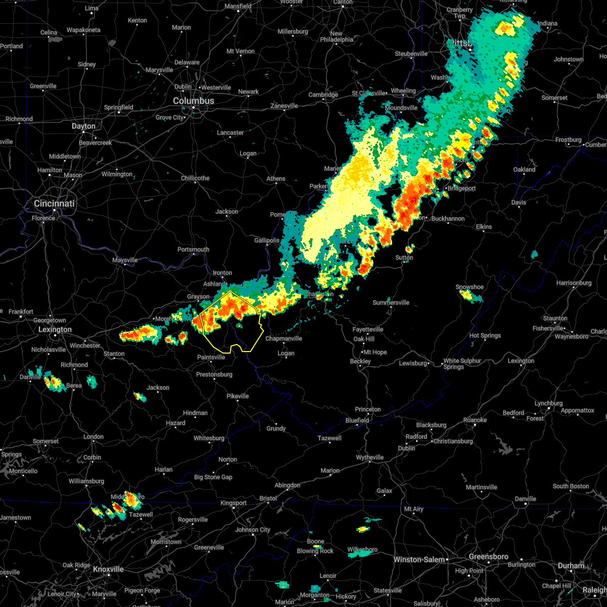
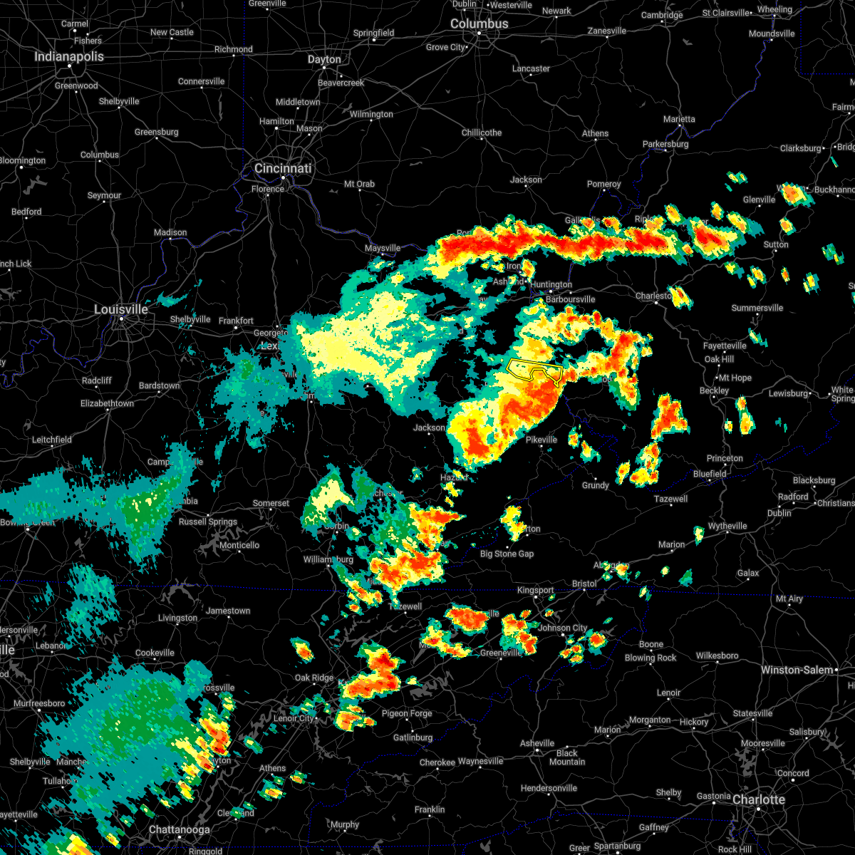
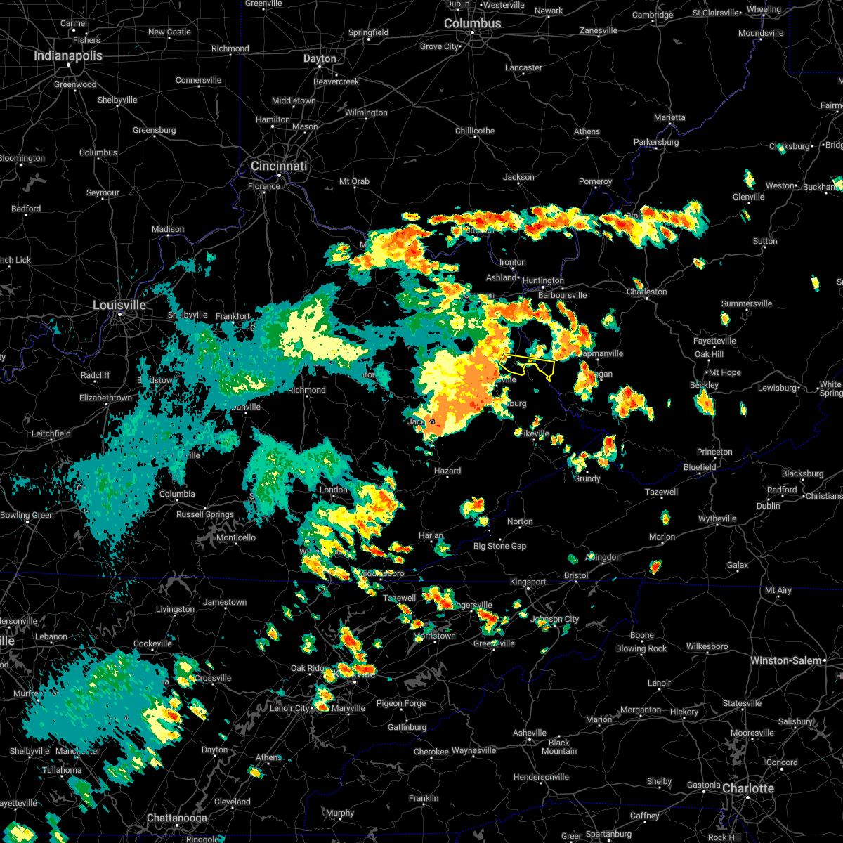
Hail Maps for Crum, WV


Connect with Interactive Hail Maps