

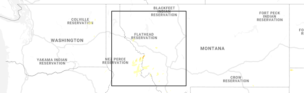
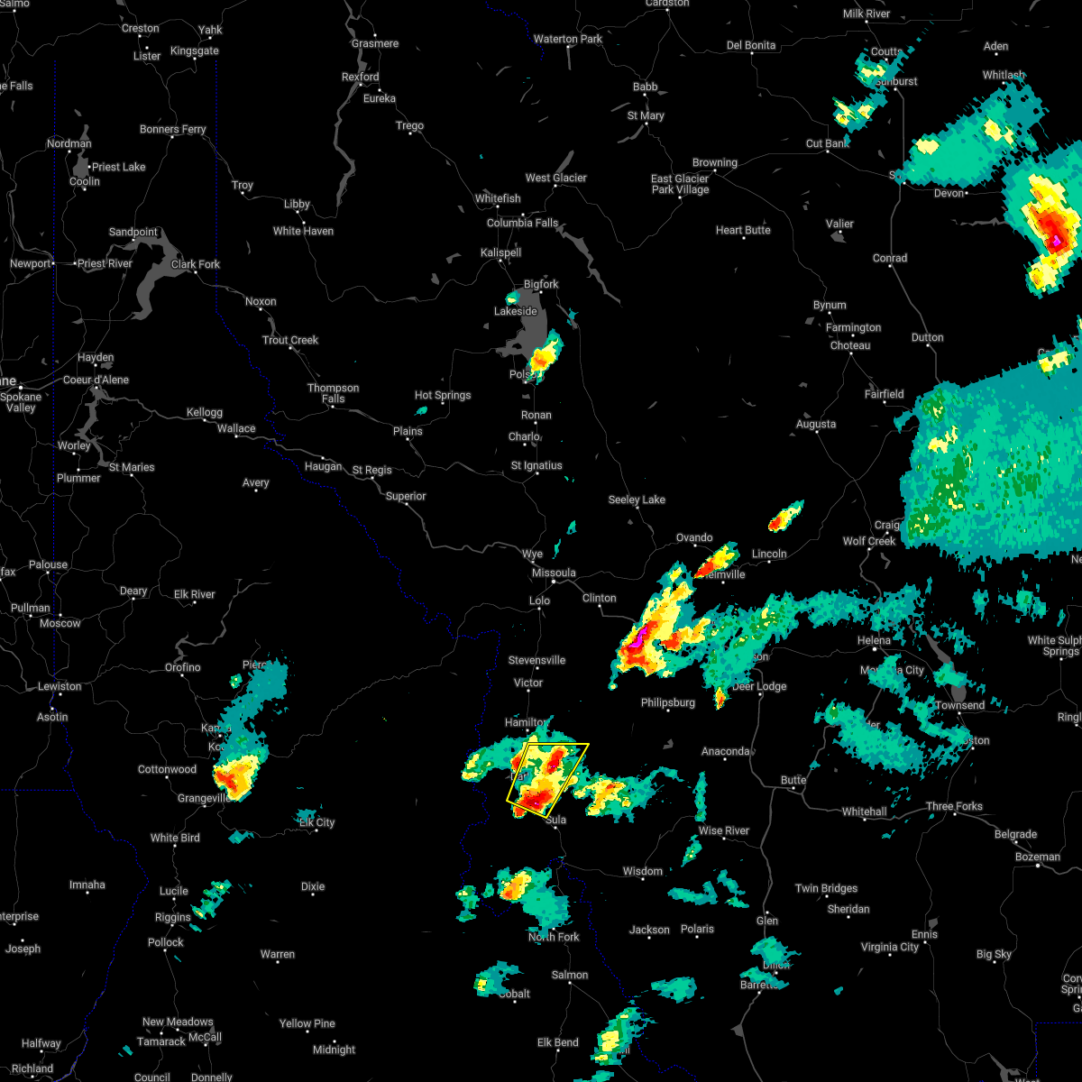
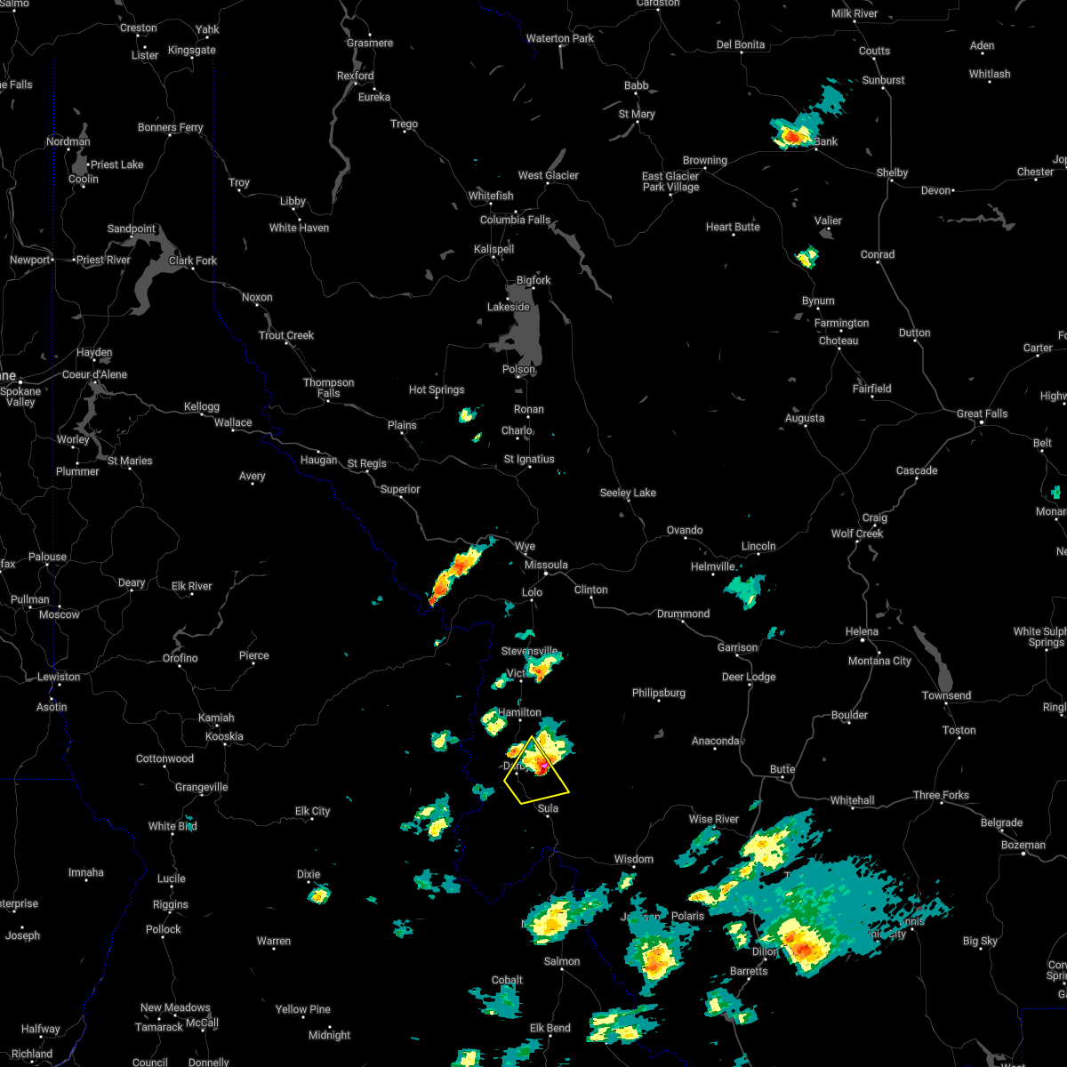
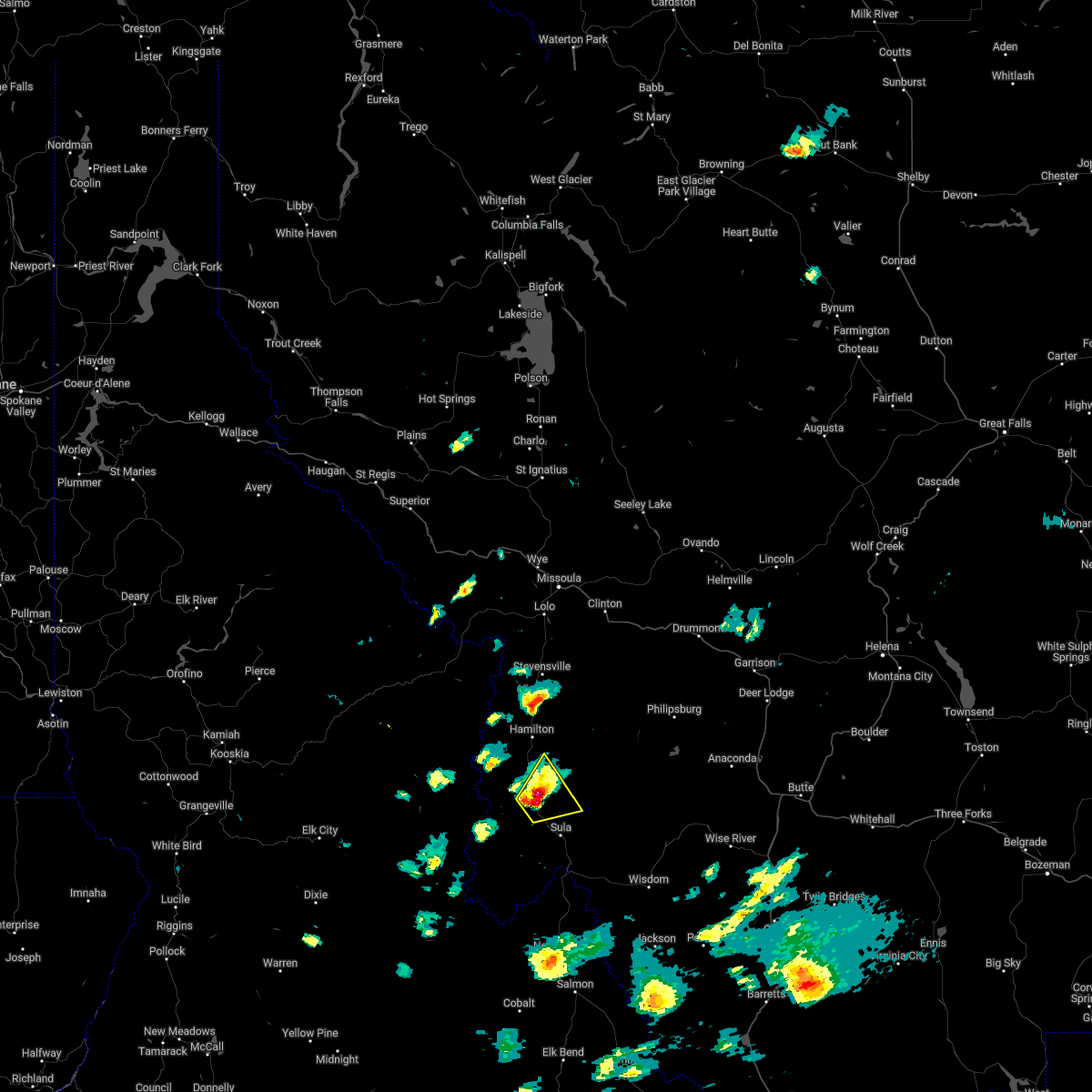
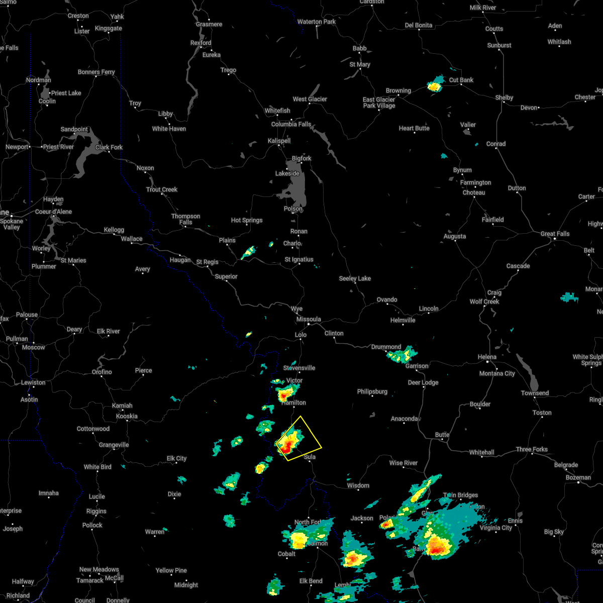
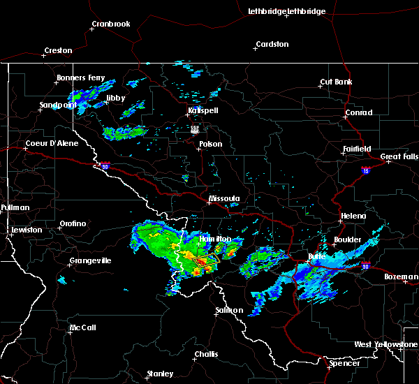
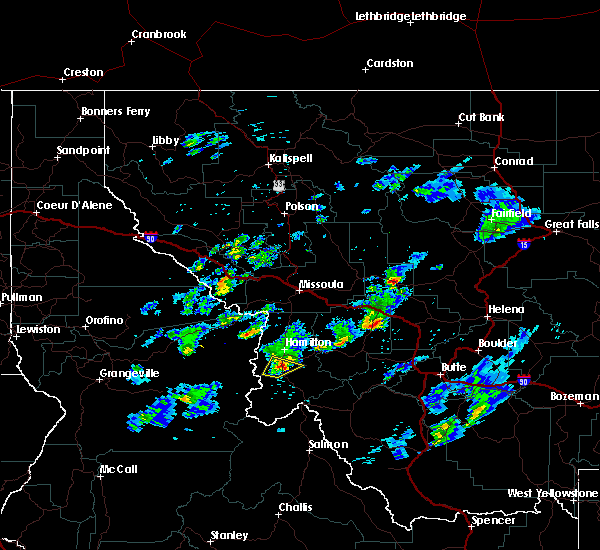
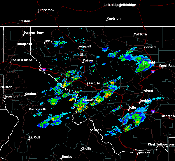
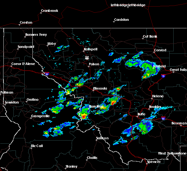
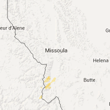
Hail Map for Darby, MT
The Darby, MT area has had 1 report of on-the-ground hail by trained spotters, and has been under severe weather warnings 0 times during the past 12 months. Doppler radar has detected hail at or near Darby, MT on 10 occasions.
| Name: | Darby, MT |
| Where Located: | 59.4 miles S of Missoula, MT |
| Map: | Google Map for Darby, MT |
| Population: | 720 |
| Housing Units: | 360 |
| More Info: | Search Google for Darby, MT |
5
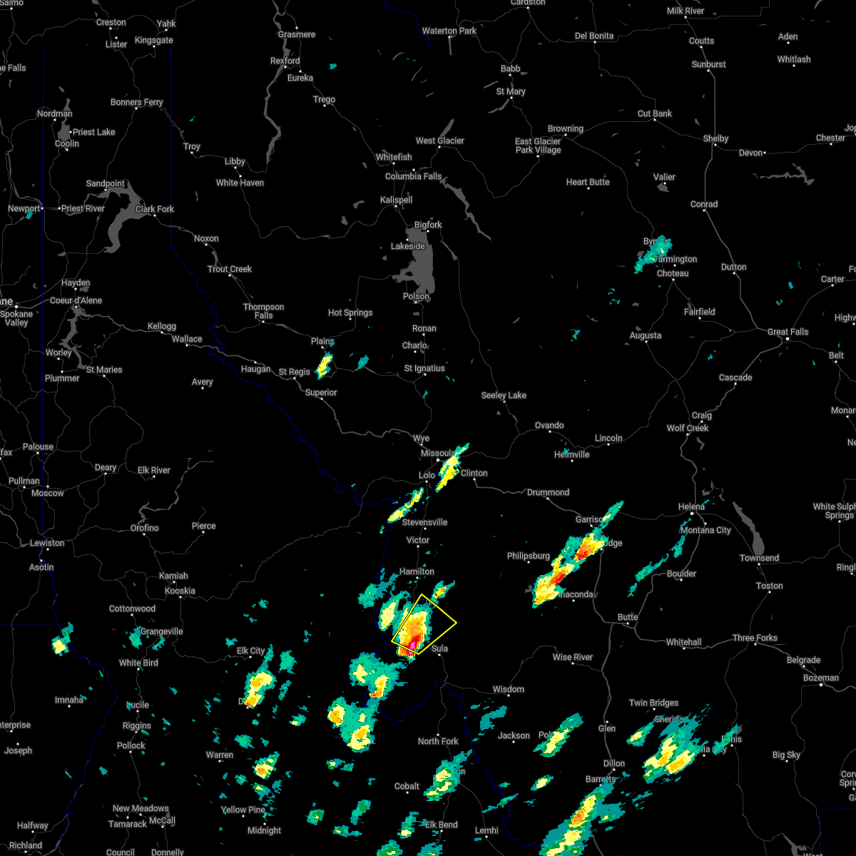
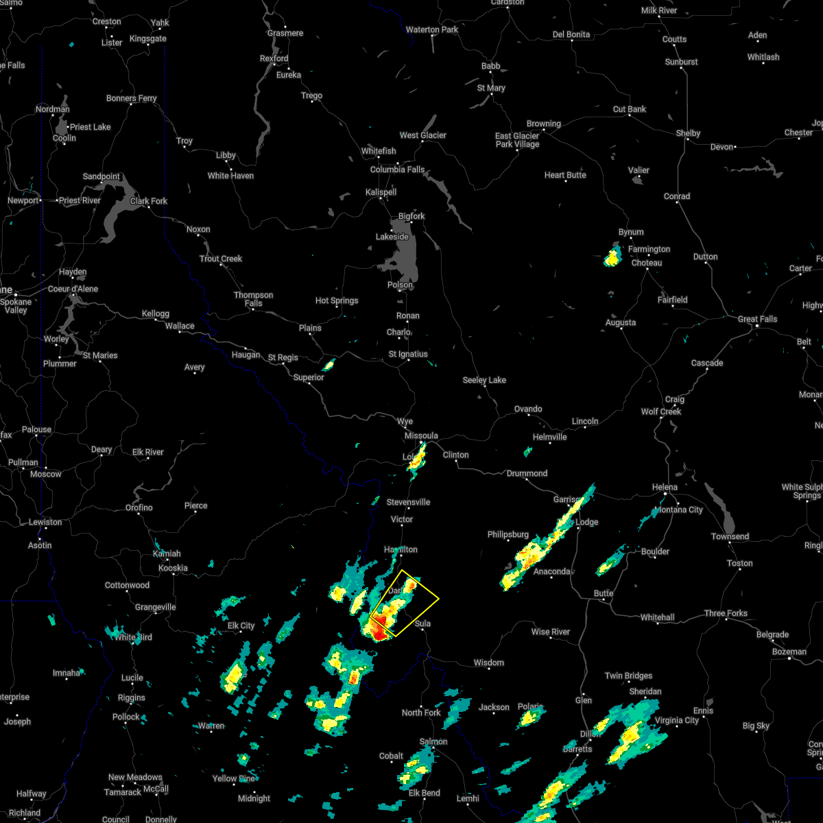
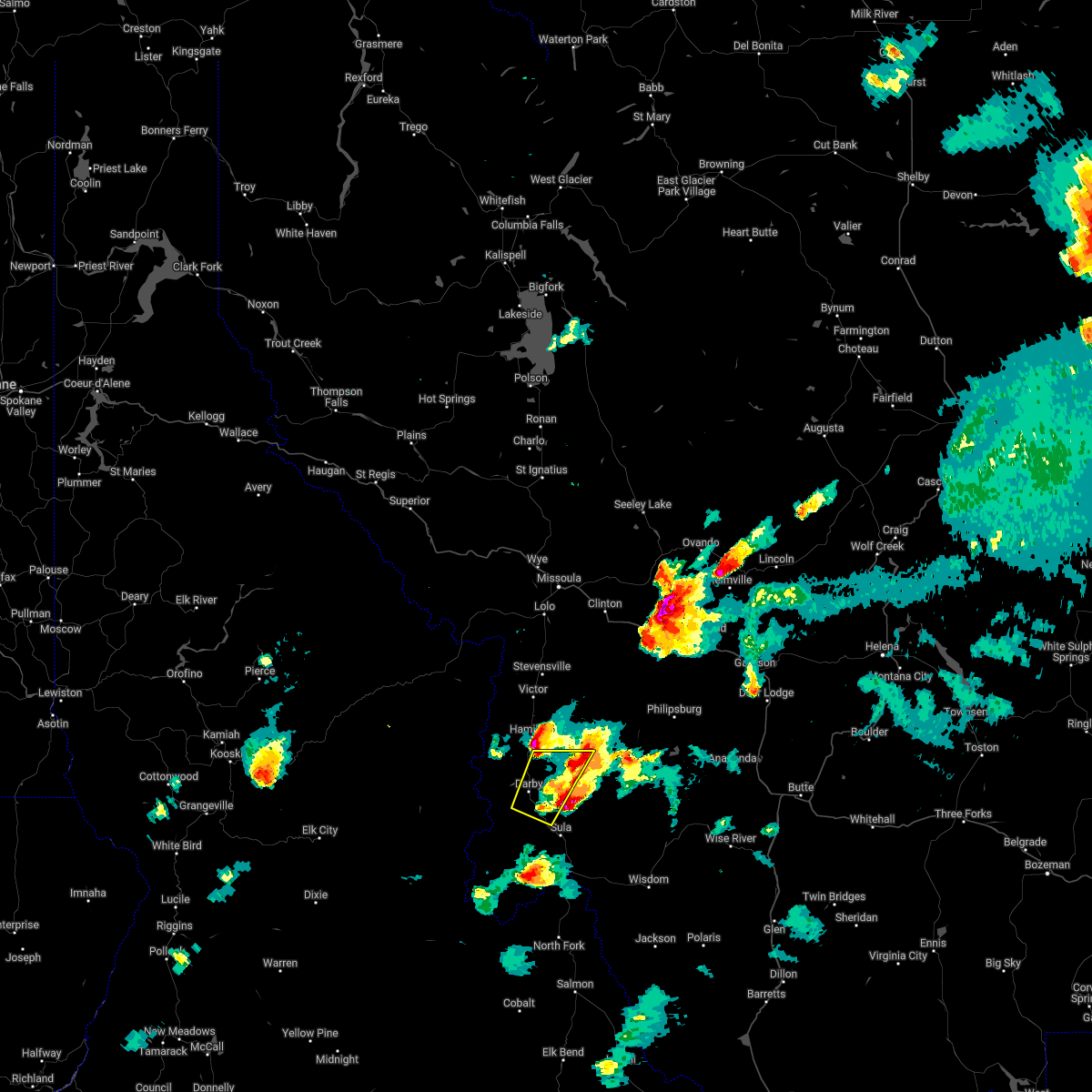
The Top Recent Hail Date for Darby, MT is Wednesday, August 24, 2022 (1st out of 10)
Hail and Wind Damage Spotted near Darby, MT
| Date / Time | Report Details |
|---|---|
| 7/9/2022 3:02 PM MDT |
 At 302 pm mdt, a severe thunderstorm was located 7 miles northeast of darby, or 10 miles southeast of hamilton, moving northeast at 35 mph (radar indicated). Hazards include ping pong ball size hail and 60 mph wind gusts. People and animals outdoors will be injured. expect hail damage to roofs, siding, windows, and vehicles. expect wind damage to roofs, siding, and trees. locations impacted include, darby, conner and como. hail threat, radar indicated max hail size, 1. 50 in wind threat, radar indicated max wind gust, 60 mph. At 302 pm mdt, a severe thunderstorm was located 7 miles northeast of darby, or 10 miles southeast of hamilton, moving northeast at 35 mph (radar indicated). Hazards include ping pong ball size hail and 60 mph wind gusts. People and animals outdoors will be injured. expect hail damage to roofs, siding, windows, and vehicles. expect wind damage to roofs, siding, and trees. locations impacted include, darby, conner and como. hail threat, radar indicated max hail size, 1. 50 in wind threat, radar indicated max wind gust, 60 mph.
|
| 7/9/2022 2:47 PM MDT |
 At 246 pm mdt, a severe thunderstorm was located near darby, or 18 miles south of hamilton, moving northeast at 35 mph (radar indicated). Hazards include 60 mph wind gusts and quarter size hail. Hail damage to vehicles is expected. Expect wind damage to roofs, siding, and trees. At 246 pm mdt, a severe thunderstorm was located near darby, or 18 miles south of hamilton, moving northeast at 35 mph (radar indicated). Hazards include 60 mph wind gusts and quarter size hail. Hail damage to vehicles is expected. Expect wind damage to roofs, siding, and trees.
|
| 7/8/2022 7:23 PM MDT |
 The severe thunderstorm warning for central ravalli and southwestern granite counties will expire at 730 pm mdt, the storm which prompted the warning has moved out of the area. therefore, the warning will be allowed to expire. a severe thunderstorm watch remains in effect until 1000 pm mdt for west central montana. The severe thunderstorm warning for central ravalli and southwestern granite counties will expire at 730 pm mdt, the storm which prompted the warning has moved out of the area. therefore, the warning will be allowed to expire. a severe thunderstorm watch remains in effect until 1000 pm mdt for west central montana.
|
| 7/8/2022 7:07 PM MDT |
 At 707 pm mdt, a severe thunderstorm was located near darby, or 17 miles south of hamilton, moving north at 25 mph (radar indicated). Hazards include 60 mph wind gusts and quarter size hail. Hail damage to vehicles is expected. Expect wind damage to roofs, siding, and trees. At 707 pm mdt, a severe thunderstorm was located near darby, or 17 miles south of hamilton, moving north at 25 mph (radar indicated). Hazards include 60 mph wind gusts and quarter size hail. Hail damage to vehicles is expected. Expect wind damage to roofs, siding, and trees.
|
| 7/8/2022 3:12 PM MDT |
 The severe thunderstorm warning for central ravalli county will expire at 315 pm mdt, the storm which prompted the warning has moved out of the area. therefore, the warning will be allowed to expire. a severe thunderstorm watch remains in effect until 1000 pm mdt for west central montana. The severe thunderstorm warning for central ravalli county will expire at 315 pm mdt, the storm which prompted the warning has moved out of the area. therefore, the warning will be allowed to expire. a severe thunderstorm watch remains in effect until 1000 pm mdt for west central montana.
|
| 7/8/2022 3:00 PM MDT |
 At 259 pm mdt, a severe thunderstorm was located near darby, or 16 miles south of hamilton, moving northeast at 20 mph (radar indicated). Hazards include 60 mph wind gusts and quarter size hail. Hail damage to vehicles is expected. expect wind damage to roofs, siding, and trees. locations impacted include, darby and conner. hail threat, radar indicated max hail size, 1. 00 in wind threat, radar indicated max wind gust, 60 mph. At 259 pm mdt, a severe thunderstorm was located near darby, or 16 miles south of hamilton, moving northeast at 20 mph (radar indicated). Hazards include 60 mph wind gusts and quarter size hail. Hail damage to vehicles is expected. expect wind damage to roofs, siding, and trees. locations impacted include, darby and conner. hail threat, radar indicated max hail size, 1. 00 in wind threat, radar indicated max wind gust, 60 mph.
|
| 7/8/2022 2:49 PM MDT |
 At 248 pm mdt, a severe thunderstorm was located near conner, or 18 miles south of hamilton, moving northeast at 20 mph (radar indicated). Hazards include 60 mph wind gusts and quarter size hail. Hail damage to vehicles is expected. Expect wind damage to roofs, siding, and trees. At 248 pm mdt, a severe thunderstorm was located near conner, or 18 miles south of hamilton, moving northeast at 20 mph (radar indicated). Hazards include 60 mph wind gusts and quarter size hail. Hail damage to vehicles is expected. Expect wind damage to roofs, siding, and trees.
|
| 7/3/2019 8:28 AM MDT |
 At 828 am mdt, a severe thunderstorm was located near darby, or 17 miles south of hamilton, moving east at 30 mph (radar indicated). Hazards include 60 mph wind gusts and half dollar size hail. Hail damage to vehicles is expected. expect wind damage to roofs, siding, and trees. Locations impacted include, darby and conner. At 828 am mdt, a severe thunderstorm was located near darby, or 17 miles south of hamilton, moving east at 30 mph (radar indicated). Hazards include 60 mph wind gusts and half dollar size hail. Hail damage to vehicles is expected. expect wind damage to roofs, siding, and trees. Locations impacted include, darby and conner.
|
| 7/3/2019 8:25 AM MDT |
 At 825 am mdt, a severe thunderstorm was located over darby, or 18 miles south of hamilton, moving east at 30 mph (radar indicated). Hazards include 60 mph wind gusts and quarter size hail. Hail damage to vehicles is expected. Expect wind damage to roofs, siding, and trees. At 825 am mdt, a severe thunderstorm was located over darby, or 18 miles south of hamilton, moving east at 30 mph (radar indicated). Hazards include 60 mph wind gusts and quarter size hail. Hail damage to vehicles is expected. Expect wind damage to roofs, siding, and trees.
|
| 6/26/2019 3:25 PM MDT |
 The severe thunderstorm warning for west central ravalli county will expire at 330 pm mdt, the storm which prompted the warning has weakened below severe limits, and no longer poses an immediate threat to life or property. therefore, the warning will be allowed to expire. however small hail and gusty winds are still possible with this thunderstorm. The severe thunderstorm warning for west central ravalli county will expire at 330 pm mdt, the storm which prompted the warning has weakened below severe limits, and no longer poses an immediate threat to life or property. therefore, the warning will be allowed to expire. however small hail and gusty winds are still possible with this thunderstorm.
|
| 6/26/2019 3:15 PM MDT |
 At 315 pm mdt, a severe thunderstorm was located over darby, or 15 miles south of hamilton, moving northeast at 30 mph (radar indicated). Hazards include 60 mph wind gusts and quarter size hail. Hail damage to vehicles is expected. expect wind damage to roofs, siding, and trees. Locations impacted include, darby, charlos heights and como. At 315 pm mdt, a severe thunderstorm was located over darby, or 15 miles south of hamilton, moving northeast at 30 mph (radar indicated). Hazards include 60 mph wind gusts and quarter size hail. Hail damage to vehicles is expected. expect wind damage to roofs, siding, and trees. Locations impacted include, darby, charlos heights and como.
|
| 6/26/2019 3:04 PM MDT |
 At 304 pm mdt, a severe thunderstorm was located near darby, or 19 miles south of hamilton, moving northeast at 25 mph (radar indicated). Hazards include 60 mph wind gusts and half dollar size hail. Hail damage to vehicles is expected. Expect wind damage to roofs, siding, and trees. At 304 pm mdt, a severe thunderstorm was located near darby, or 19 miles south of hamilton, moving northeast at 25 mph (radar indicated). Hazards include 60 mph wind gusts and half dollar size hail. Hail damage to vehicles is expected. Expect wind damage to roofs, siding, and trees.
|
| 8/9/2016 2:26 PM MDT |
 The severe thunderstorm warning for central ravalli county will expire at 230 pm mdt, the storm which prompted the warning has weakened below severe limits, and no longer poses an immediate threat to life or property. therefore the warning will be allowed to expire. however small hail is still possible with this thunderstorm. The severe thunderstorm warning for central ravalli county will expire at 230 pm mdt, the storm which prompted the warning has weakened below severe limits, and no longer poses an immediate threat to life or property. therefore the warning will be allowed to expire. however small hail is still possible with this thunderstorm.
|
| 8/9/2016 1:56 PM MDT |
 At 155 pm mdt, doppler radar indicated a severe thunderstorm capable of producing quarter size hail and gusty winds. this storm was located near darby, or 9 miles south of hamilton, and moving northeast at 30 mph. At 155 pm mdt, doppler radar indicated a severe thunderstorm capable of producing quarter size hail and gusty winds. this storm was located near darby, or 9 miles south of hamilton, and moving northeast at 30 mph.
|
| 7/9/2016 9:42 PM MDT |
 The severe thunderstorm warning for central ravalli county will expire at 945 pm mdt. the storm which prompted the warning has weakened below severe limits. therefore the warning will be allowed to expire. However gusty winds and heavy rain are still occurring with this thunderstorm. The severe thunderstorm warning for central ravalli county will expire at 945 pm mdt. the storm which prompted the warning has weakened below severe limits. therefore the warning will be allowed to expire. However gusty winds and heavy rain are still occurring with this thunderstorm.
|
| 7/9/2016 9:21 PM MDT |
 At 920 pm mdt, doppler radar indicated a severe thunderstorm capable of producing damaging winds in excess of 60 mph. this storm was located just west of hamilton, moving northeast at 40 mph. nickel size hail may also accompany the damaging winds. locations impacted include, hamilton, darby, woodside, pinesdale, corvallis, charlos heights, como and grantsdale. At 920 pm mdt, doppler radar indicated a severe thunderstorm capable of producing damaging winds in excess of 60 mph. this storm was located just west of hamilton, moving northeast at 40 mph. nickel size hail may also accompany the damaging winds. locations impacted include, hamilton, darby, woodside, pinesdale, corvallis, charlos heights, como and grantsdale.
|
| 7/9/2016 9:06 PM MDT |
 At 905 pm mdt, doppler radar indicated a severe thunderstorm capable of producing damaging winds in excess of 60 mph. this storm was located 8 miles southwest of hamilton, and moving east at 45 mph. penny size hail may also accompany the damaging winds. At 905 pm mdt, doppler radar indicated a severe thunderstorm capable of producing damaging winds in excess of 60 mph. this storm was located 8 miles southwest of hamilton, and moving east at 45 mph. penny size hail may also accompany the damaging winds.
|
| 8/10/2015 5:25 PM MDT | Power lines and trees have been blown dow in ravalli county MT, 0.1 miles N of Darby, MT |
| 8/10/2015 5:00 PM MDT |
 At 459 pm mdt /359 pm pdt/, doppler radar indicated a severe thunderstorm capable of producing damaging winds in excess of 60 mph. this storm was located near conner, or 26 miles south of hamilton, and moving north at 30 mph. At 459 pm mdt /359 pm pdt/, doppler radar indicated a severe thunderstorm capable of producing damaging winds in excess of 60 mph. this storm was located near conner, or 26 miles south of hamilton, and moving north at 30 mph.
|
| 6/4/2012 3:40 PM MDT | Quarter sized hail reported 11.4 miles N of Darby, MT, very heavy rain also. |
Hail Maps for Darby, MT


Connect with Interactive Hail Maps