

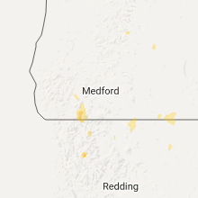
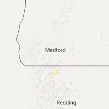
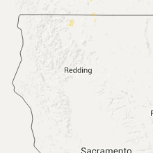
Hail Map for Dorris, CA
The Dorris, CA area has had 0 reports of on-the-ground hail by trained spotters, and has been under severe weather warnings 0 times during the past 12 months. Doppler radar has detected hail at or near Dorris, CA on 5 occasions.
| Name: | Dorris, CA |
| Where Located: | 55 miles ESE of Medford, OR |
| Map: | Google Map for Dorris, CA |
| Population: | 939 |
| Housing Units: | 414 |
| More Info: | Search Google for Dorris, CA |
2
The Top Recent Hail Date for Dorris, CA is Tuesday, August 2, 2022 (2nd out of 5)

Hail and Wind Damage Spotted near Dorris, CA
| Date / Time | Report Details |
|---|---|
| 7/24/2018 4:25 PM PDT |
 At 424 pm pdt, a severe thunderstorm was located near macdoel, or 25 miles southwest of klamath falls, moving north at 10 mph (radar indicated). Hazards include 60 mph wind gusts and quarter size hail. Hail damage to vehicles is expected. expect wind damage to roofs, siding, and trees. locations impacted include, dorris and lower klamath wildlife refuge. This includes, us 97 in california between mile markers 43 and 53. At 424 pm pdt, a severe thunderstorm was located near macdoel, or 25 miles southwest of klamath falls, moving north at 10 mph (radar indicated). Hazards include 60 mph wind gusts and quarter size hail. Hail damage to vehicles is expected. expect wind damage to roofs, siding, and trees. locations impacted include, dorris and lower klamath wildlife refuge. This includes, us 97 in california between mile markers 43 and 53.
|
| 7/24/2018 4:10 PM PDT |
 At 410 pm pdt, a severe thunderstorm was located near macdoel, or 27 miles southwest of klamath falls, moving north at 10 mph (radar indicated). Hazards include 60 mph wind gusts and quarter size hail. Hail damage to vehicles is expected. Expect wind damage to roofs, siding, and trees. At 410 pm pdt, a severe thunderstorm was located near macdoel, or 27 miles southwest of klamath falls, moving north at 10 mph (radar indicated). Hazards include 60 mph wind gusts and quarter size hail. Hail damage to vehicles is expected. Expect wind damage to roofs, siding, and trees.
|
| 6/25/2017 4:33 PM PDT |
 At 430 pm pdt, a severe thunderstorm was located near dorris, or 24 miles southwest of klamath falls, moving north at 20 mph. this warning replaces the previous warning in this area (radar indicated). Hazards include quarter size hail. damage to vehicles is expected At 430 pm pdt, a severe thunderstorm was located near dorris, or 24 miles southwest of klamath falls, moving north at 20 mph. this warning replaces the previous warning in this area (radar indicated). Hazards include quarter size hail. damage to vehicles is expected
|
| 6/25/2017 4:01 PM PDT |
 At 401 pm pdt, a severe thunderstorm was located near juanita lake campground, or 29 miles east of yreka, moving north at 25 mph (radar indicated). Hazards include quarter size hail. damage to vehicles is expected At 401 pm pdt, a severe thunderstorm was located near juanita lake campground, or 29 miles east of yreka, moving north at 25 mph (radar indicated). Hazards include quarter size hail. damage to vehicles is expected
|
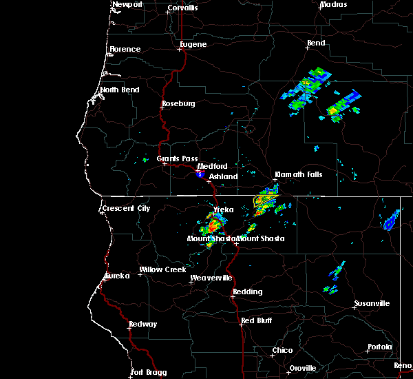
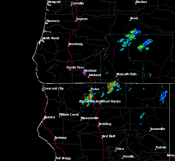
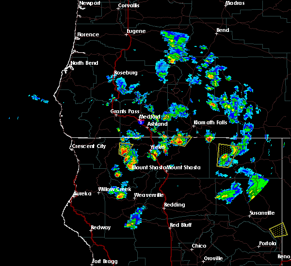
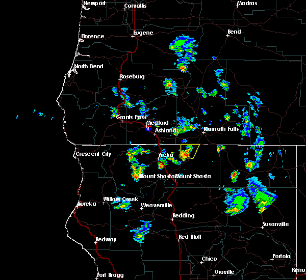
Hail Maps for Dorris, CA


Connect with Interactive Hail Maps