

Hail Map for Elbe, WA
The Elbe, WA area has had 0 reports of on-the-ground hail by trained spotters, and has been under severe weather warnings 0 times during the past 12 months. Doppler radar has detected hail at or near Elbe, WA on 3 occasions.
| Name: | Elbe, WA |
| Where Located: | 58.2 miles S of Seattle, WA |
| Map: | Google Map for Elbe, WA |
| Population: | 29 |
| Housing Units: | 17 |
| More Info: | Search Google for Elbe, WA |
5
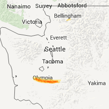
The Top Recent Hail Date for Elbe, WA is Friday, March 23, 2012 (1st out of 3)

Hail and Wind Damage Spotted near Elbe, WA
| Date / Time | Report Details |
|---|---|
| 5/4/2017 3:25 PM PDT |
 The severe thunderstorm warning for northeastern lewis and south central pierce counties will expire at 330 pm pdt, the storm which prompted the warning has weakened below severe limits, and has exited the warned area. therefore, the warning will be allowed to expire. however heavy rain is still possible with this thunderstorm. The severe thunderstorm warning for northeastern lewis and south central pierce counties will expire at 330 pm pdt, the storm which prompted the warning has weakened below severe limits, and has exited the warned area. therefore, the warning will be allowed to expire. however heavy rain is still possible with this thunderstorm.
|
| 5/4/2017 3:16 PM PDT |
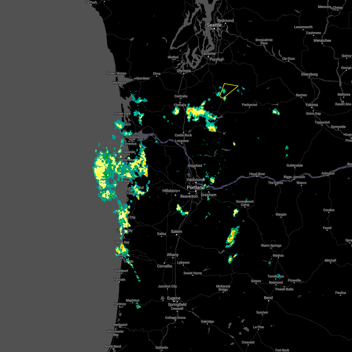
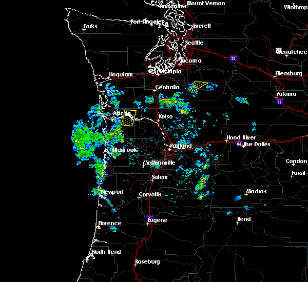 At 315 pm pdt, a severe thunderstorm was located 11 miles southeast of eatonville, or 22 miles northwest of packwood, moving northeast at 30 mph (radar indicated). Hazards include quarter size hail. Damage to vehicles is expected. Locations impacted include, elbe. At 315 pm pdt, a severe thunderstorm was located 11 miles southeast of eatonville, or 22 miles northwest of packwood, moving northeast at 30 mph (radar indicated). Hazards include quarter size hail. Damage to vehicles is expected. Locations impacted include, elbe.
|
| 5/4/2017 3:06 PM PDT |
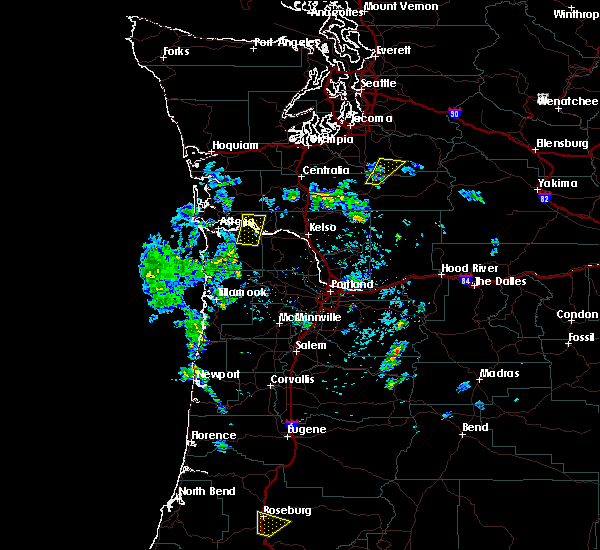 At 305 pm pdt, a severe thunderstorm was located 13 miles northwest of randle, or 22 miles west of packwood, moving northeast at 30 mph (radar indicated). Hazards include quarter size hail. damage to vehicles is expected At 305 pm pdt, a severe thunderstorm was located 13 miles northwest of randle, or 22 miles west of packwood, moving northeast at 30 mph (radar indicated). Hazards include quarter size hail. damage to vehicles is expected
|
Hail Maps for Elbe, WA


Connect with Interactive Hail Maps