

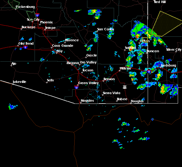
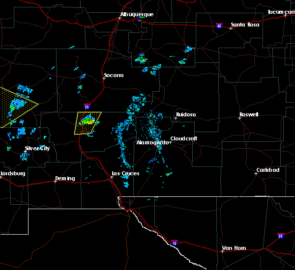
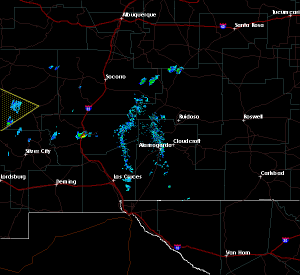
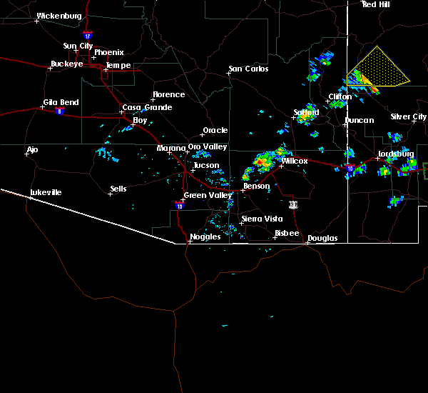
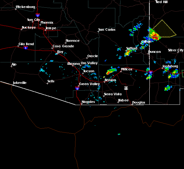
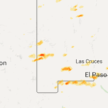
Hail Map for Glenwood, NM
The Glenwood, NM area has had 9 reports of on-the-ground hail by trained spotters, and has been under severe weather warnings 0 times during the past 12 months. Doppler radar has detected hail at or near Glenwood, NM on 6 occasions, including 1 occasion during the past year.
| Name: | Glenwood, NM |
| Where Located: | 51.8 miles NW of Silver City, NM |
| Map: | Google Map for Glenwood, NM |
| Population: | 143 |
| Housing Units: | 115 |
| More Info: | Search Google for Glenwood, NM |
2
The Top Recent Hail Date for Glenwood, NM is Sunday, September 17, 2023 (2nd out of 6)

Hail and Wind Damage Spotted near Glenwood, NM
| Date / Time | Report Details |
|---|---|
| 10/20/2015 11:40 AM MDT |
 At 1139 am mdt, a severe thunderstorm was located 10 miles northeast of mogollon, or 12 miles south of reserve, moving northeast at 45 mph (spotter reports and radar indicated). Hazards include ping pong ball size hail and 60 mph wind gusts. People and animals outdoors will be injured. expect hail damage to roofs, siding, windows and vehicles. expect wind damage to roofs, siding and trees. Locations impacted include, reserve, san francisco plaza, glenwood, mogollon and alma. At 1139 am mdt, a severe thunderstorm was located 10 miles northeast of mogollon, or 12 miles south of reserve, moving northeast at 45 mph (spotter reports and radar indicated). Hazards include ping pong ball size hail and 60 mph wind gusts. People and animals outdoors will be injured. expect hail damage to roofs, siding, windows and vehicles. expect wind damage to roofs, siding and trees. Locations impacted include, reserve, san francisco plaza, glenwood, mogollon and alma.
|
| 10/20/2015 11:26 AM MDT |
 At 1122 am mdt, a severe thunderstorm was located 8 miles northeast of mogollon, or 15 miles south of reserve, moving northeast at 60 mph (public). Hazards include one inch hail was reported by the public three miles south of glenwood at 1111 am mdt. ping pong ball size hail and 60 mph wind gusts can be expected. People and animals outdoors will be injured. expect hail damage to roofs, siding, windows and vehicles. expect wind damage to roofs, siding and trees. Locations impacted include, reserve, san francisco plaza, pleasanton, cruzville, glenwood, mogollon, alma and apache creek. At 1122 am mdt, a severe thunderstorm was located 8 miles northeast of mogollon, or 15 miles south of reserve, moving northeast at 60 mph (public). Hazards include one inch hail was reported by the public three miles south of glenwood at 1111 am mdt. ping pong ball size hail and 60 mph wind gusts can be expected. People and animals outdoors will be injured. expect hail damage to roofs, siding, windows and vehicles. expect wind damage to roofs, siding and trees. Locations impacted include, reserve, san francisco plaza, pleasanton, cruzville, glenwood, mogollon, alma and apache creek.
|
| 10/20/2015 11:24 AM MDT | Quarter sized hail reported 7.6 miles SW of Glenwood, NM, hail just larger than quarters was reported in mogollon. |
| 10/20/2015 11:17 AM MDT | Quarter sized hail reported 0.6 miles NW of Glenwood, NM |
| 10/20/2015 11:15 AM MDT | Quarter sized hail reported 0.4 miles WSW of Glenwood, NM |
| 10/20/2015 11:13 AM MDT | Quarter sized hail reported 0.4 miles WSW of Glenwood, NM |
| 10/20/2015 11:11 AM MDT | Quarter sized hail reported 3.3 miles N of Glenwood, NM |
| 10/20/2015 11:11 AM MDT | Quarter sized hail reported 2.8 miles NNW of Glenwood, NM |
| 10/20/2015 11:10 AM MDT | Quarter sized hail reported 3.4 miles NNW of Glenwood, NM |
| 10/20/2015 11:10 AM MDT | Half Dollar sized hail reported 2.8 miles NNW of Glenwood, NM |
| 10/20/2015 11:10 AM MDT | Golf Ball sized hail reported 2.8 miles NNW of Glenwood, NM |
| 10/20/2015 11:02 AM MDT |
 At 1101 am mdt, a severe thunderstorm was located near pleasanton, or 16 miles northwest of buckhorn, moving northeast at 60 mph (radar indicated). Hazards include ping pong size hail and 60 mph wind gusts. People and animals outdoors will be injured. expect hail damage to roofs, siding, windows and vehicles. Expect wind damage to roofs, siding and trees. At 1101 am mdt, a severe thunderstorm was located near pleasanton, or 16 miles northwest of buckhorn, moving northeast at 60 mph (radar indicated). Hazards include ping pong size hail and 60 mph wind gusts. People and animals outdoors will be injured. expect hail damage to roofs, siding, windows and vehicles. Expect wind damage to roofs, siding and trees.
|
| 7/10/2015 2:04 PM MDT |
 At 204 pm mdt, a severe thunderstorm was located 10 miles southeast of mogollon, or 17 miles north of buckhorn, moving east at 25 mph (radar indicated). Hazards include 60 mph wind gusts and quarter size hail. Hail damage to vehicles is expected. expect wind damage to roofs, siding and trees. Locations impacted include, glenwood, mogollon, pleasanton and alma. At 204 pm mdt, a severe thunderstorm was located 10 miles southeast of mogollon, or 17 miles north of buckhorn, moving east at 25 mph (radar indicated). Hazards include 60 mph wind gusts and quarter size hail. Hail damage to vehicles is expected. expect wind damage to roofs, siding and trees. Locations impacted include, glenwood, mogollon, pleasanton and alma.
|
| 7/10/2015 1:38 PM MDT |
 At 138 pm mdt, a severe thunderstorm was located near pleasanton, or 15 miles northwest of buckhorn, moving northeast at 40 mph (radar indicated). Hazards include quarter size hail and 60 mph wind gusts. Hail damage to vehicles is expected. Expect wind damage to roofs, siding and trees. At 138 pm mdt, a severe thunderstorm was located near pleasanton, or 15 miles northwest of buckhorn, moving northeast at 40 mph (radar indicated). Hazards include quarter size hail and 60 mph wind gusts. Hail damage to vehicles is expected. Expect wind damage to roofs, siding and trees.
|
Hail Maps for Glenwood, NM


Connect with Interactive Hail Maps