

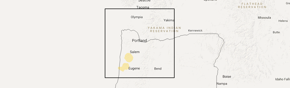
Hail Map for Grand Ronde, OR
The Grand Ronde, OR area has had 0 reports of on-the-ground hail by trained spotters, and has been under severe weather warnings 0 times during the past 12 months. Doppler radar has detected hail at or near Grand Ronde, OR on 1 occasion.
| Name: | Grand Ronde, OR |
| Where Located: | 54.8 miles WSW of Portland, OR |
| Map: | Google Map for Grand Ronde, OR |
| Population: | 1661 |
| Housing Units: | 720 |
| More Info: | Search Google for Grand Ronde, OR |
0
The Top Recent Hail Date for Grand Ronde, OR is Thursday, January 11, 2018 (1st out of 1)
Hail and Wind Damage Spotted near Grand Ronde, OR
| Date / Time | Report Details |
|---|---|
| 5/4/2017 1:57 PM PDT |
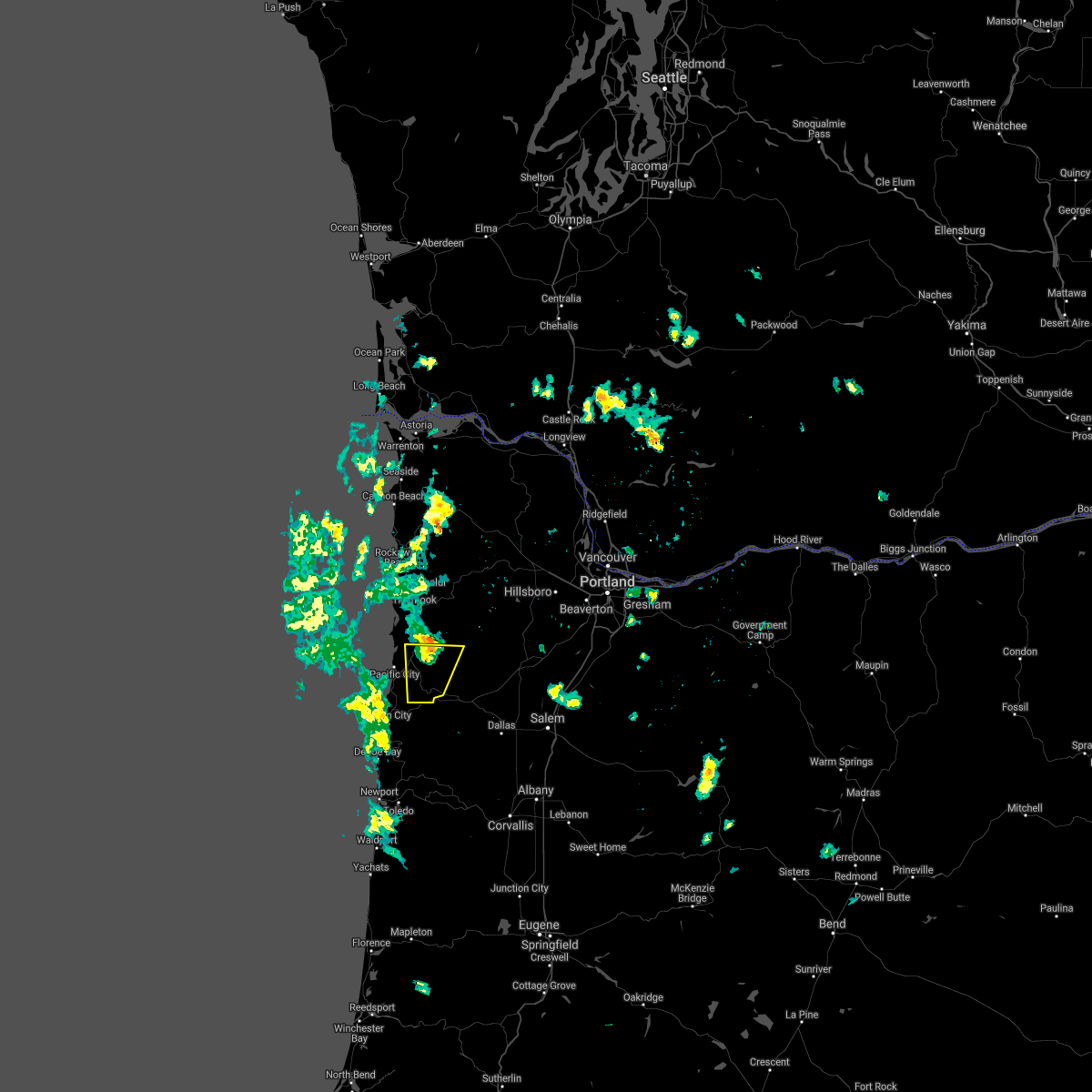 At 136 pm pdt, doppler radar indicated a severe thunderstorm capable of producing quarter size hail. this storm was located 7 miles west of grand ronde, or 12 miles southeast of pacific city, moving north at 30 mph. locations impacted include, cloverdale, hebo, grand ronde indian reservation, beaver and blaine. this includes the following highways in oregon, u.s. highway 101 between mile markers 79 and 85. state highway 18 between mile markers 12 and 15. At 136 pm pdt, doppler radar indicated a severe thunderstorm capable of producing quarter size hail. this storm was located 7 miles west of grand ronde, or 12 miles southeast of pacific city, moving north at 30 mph. locations impacted include, cloverdale, hebo, grand ronde indian reservation, beaver and blaine. this includes the following highways in oregon, u.s. highway 101 between mile markers 79 and 85. state highway 18 between mile markers 12 and 15.
|
| 5/4/2017 1:37 PM PDT |
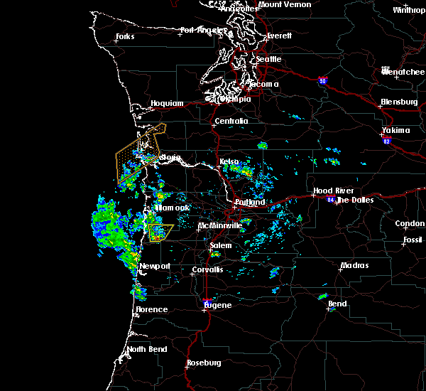 At 136 pm pdt, doppler radar indicated a severe thunderstorm capable of producing quarter size hail. this storm was located 7 miles west of grand ronde, or 12 miles southeast of pacific city, moving north at 30 mph. locations impacted include, cloverdale, hebo, grand ronde indian reservation, beaver and blaine. this includes the following highways in oregon, u.s. highway 101 between mile markers 79 and 85. state highway 18 between mile markers 12 and 15. At 136 pm pdt, doppler radar indicated a severe thunderstorm capable of producing quarter size hail. this storm was located 7 miles west of grand ronde, or 12 miles southeast of pacific city, moving north at 30 mph. locations impacted include, cloverdale, hebo, grand ronde indian reservation, beaver and blaine. this includes the following highways in oregon, u.s. highway 101 between mile markers 79 and 85. state highway 18 between mile markers 12 and 15.
|
| 5/4/2017 1:28 PM PDT |
 At 127 pm pdt, doppler radar indicated a severe thunderstorm capable of producing quarter size hail. this storm was located 9 miles southwest of grand ronde, or 13 miles east of lincoln city, and moving north at 25 mph. At 127 pm pdt, doppler radar indicated a severe thunderstorm capable of producing quarter size hail. this storm was located 9 miles southwest of grand ronde, or 13 miles east of lincoln city, and moving north at 25 mph.
|
Hail Maps for Grand Ronde, OR

Connect with Interactive Hail Maps