

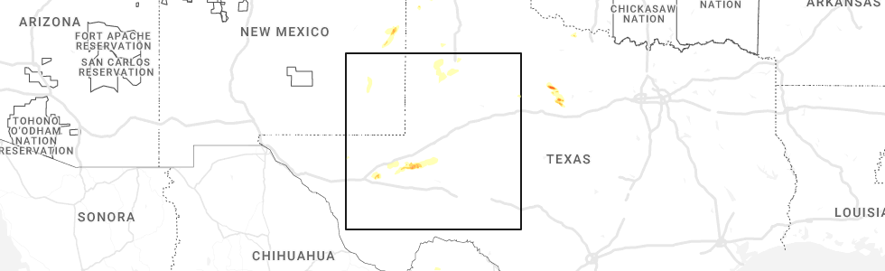
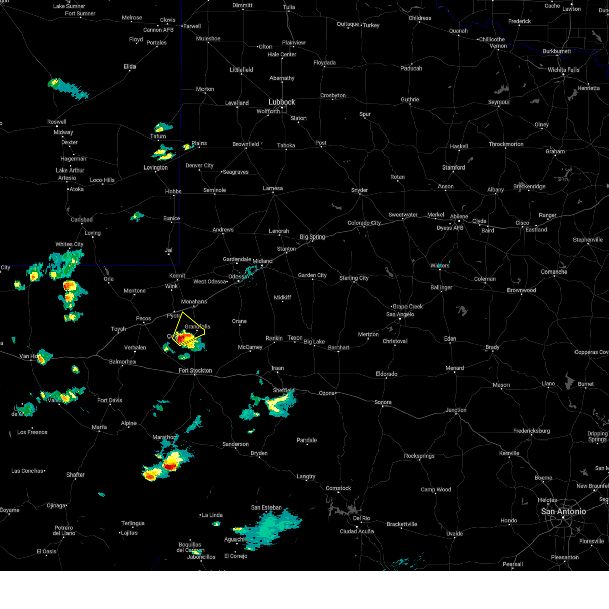
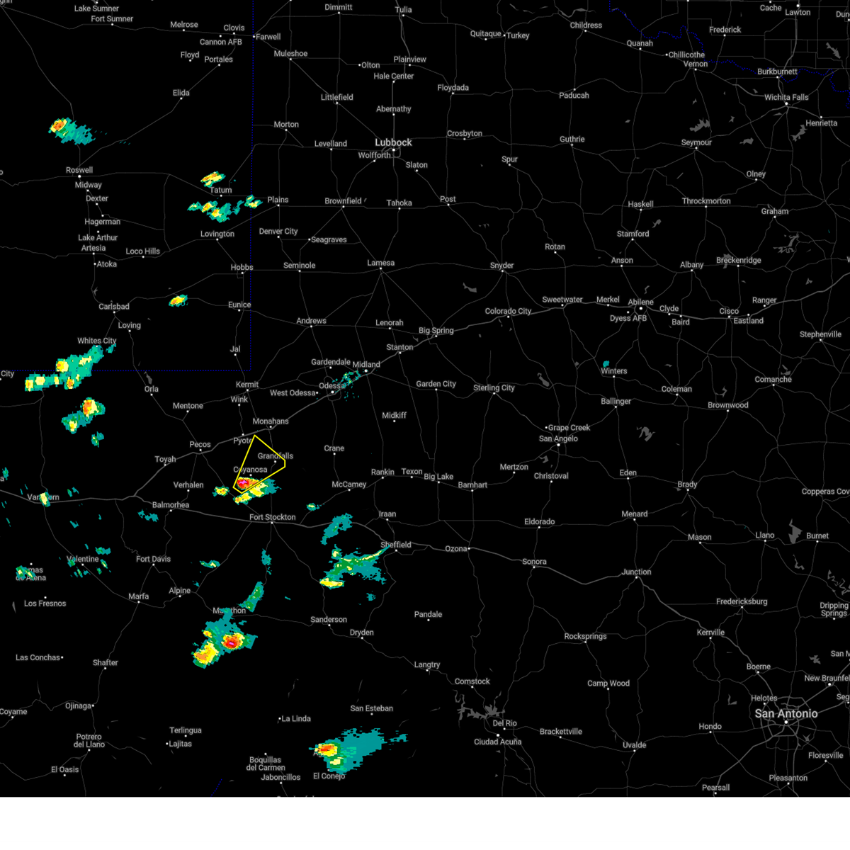
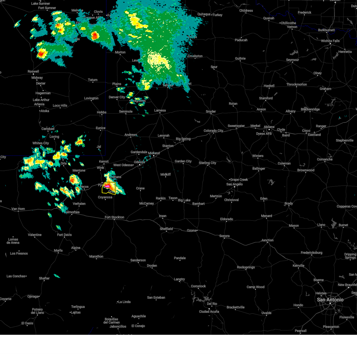
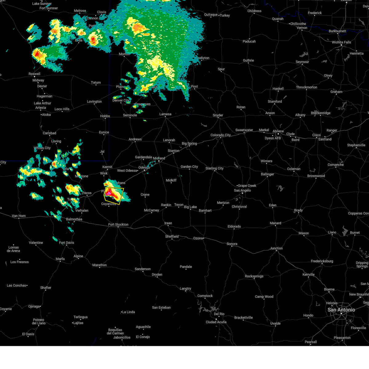
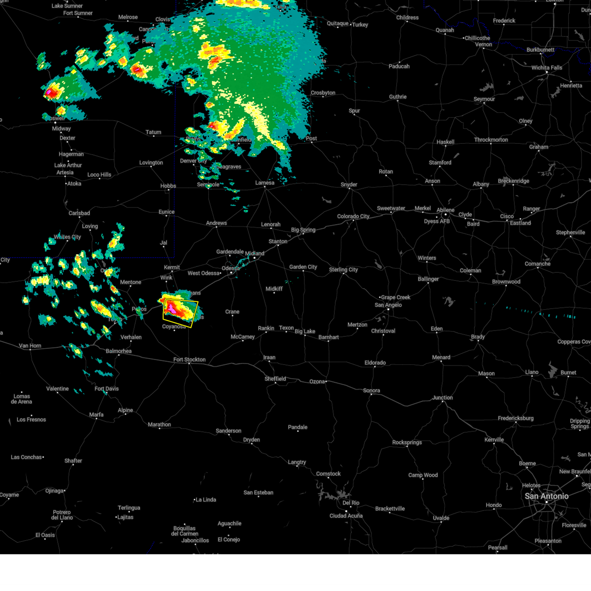
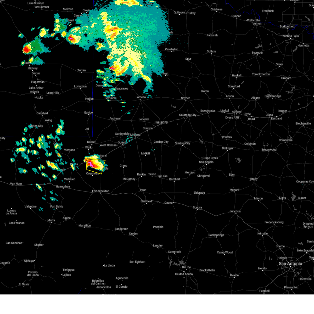
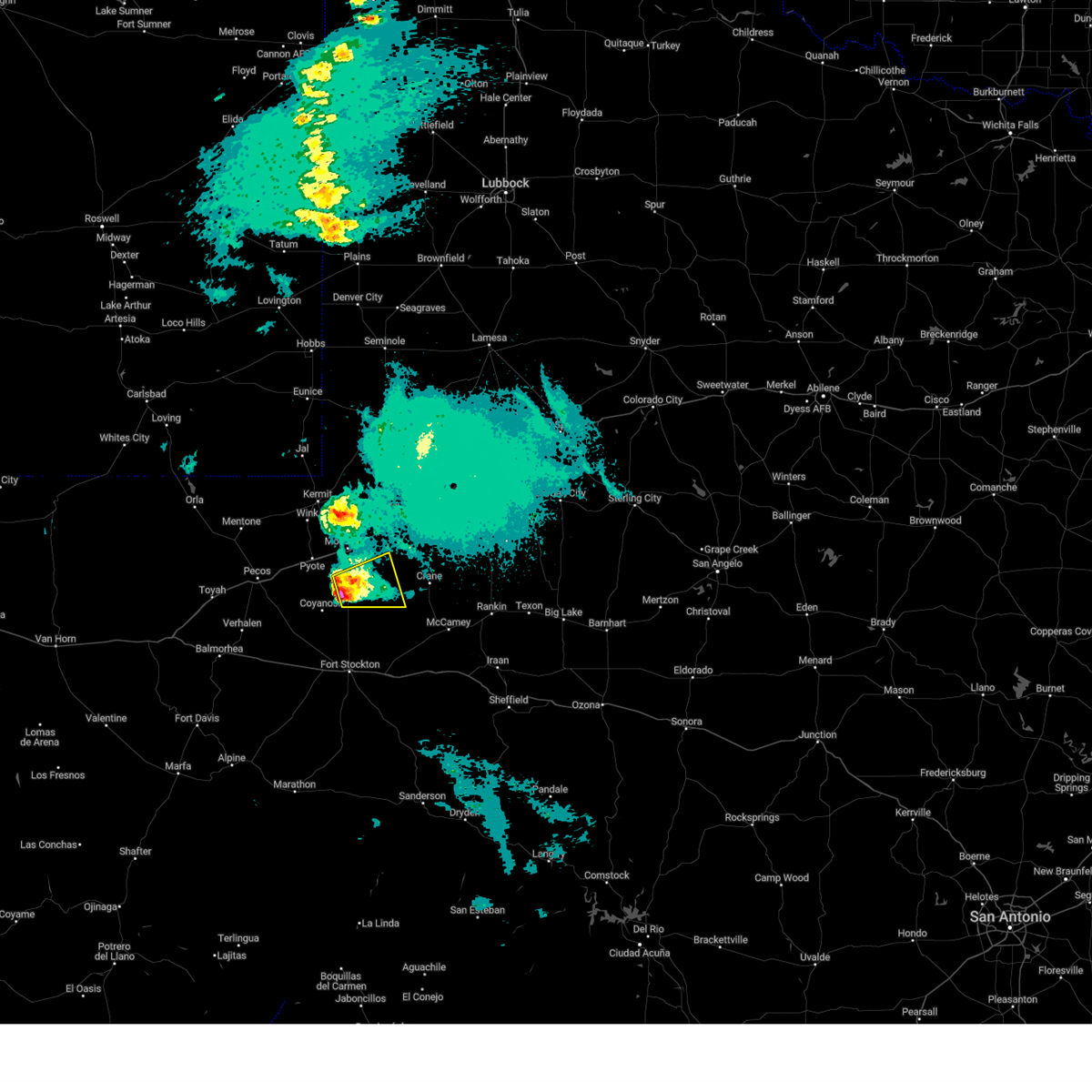
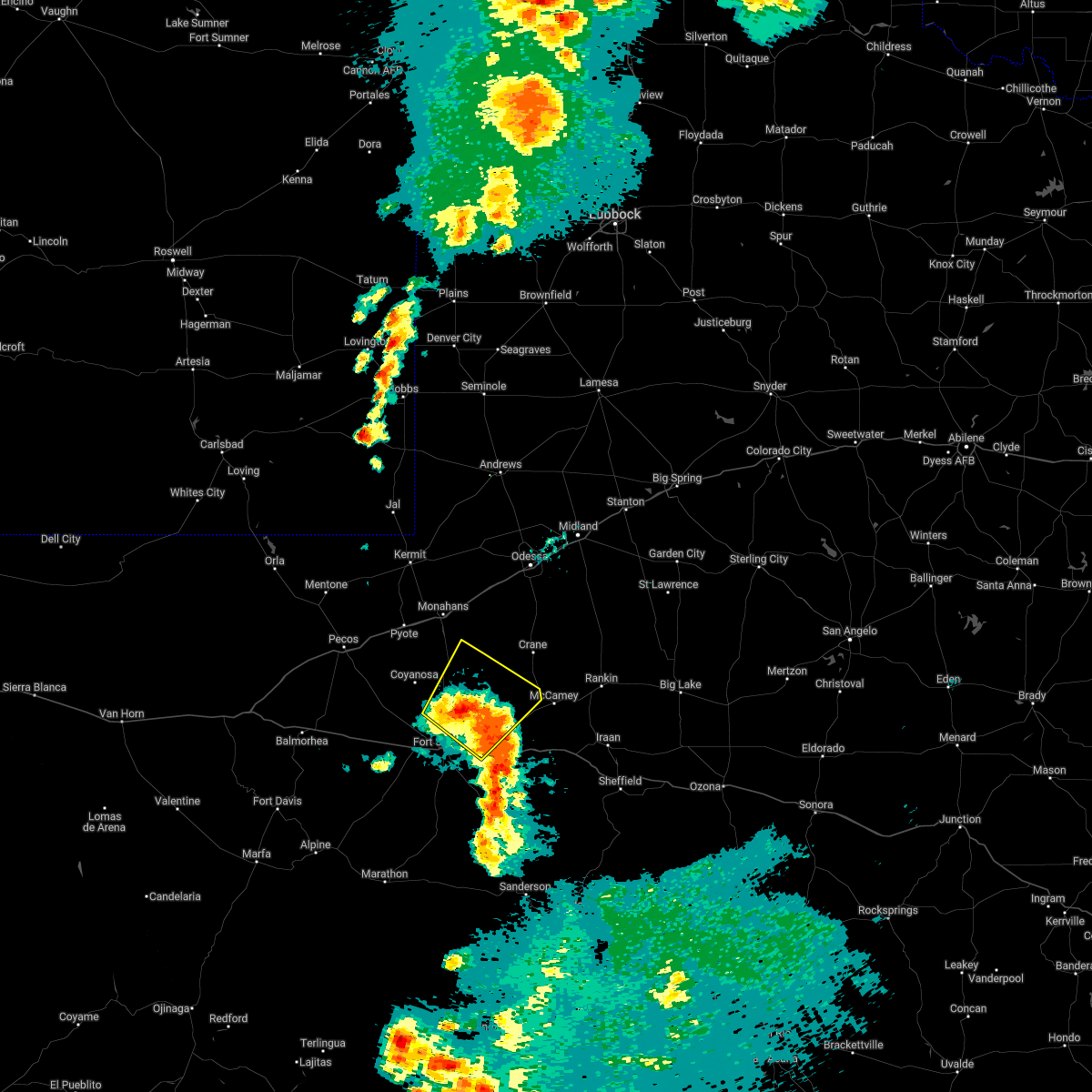
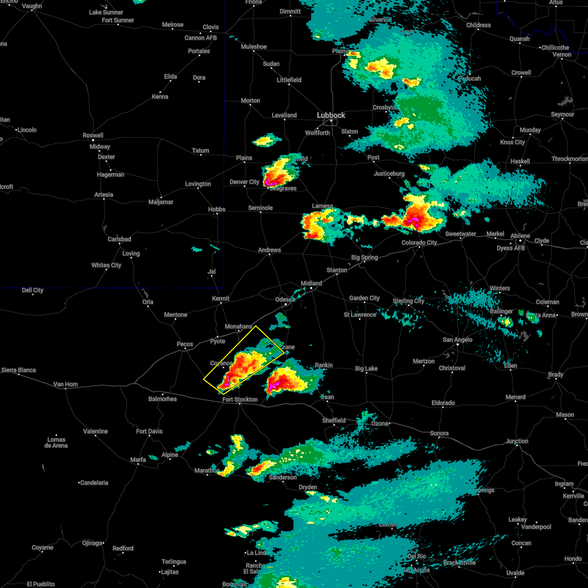
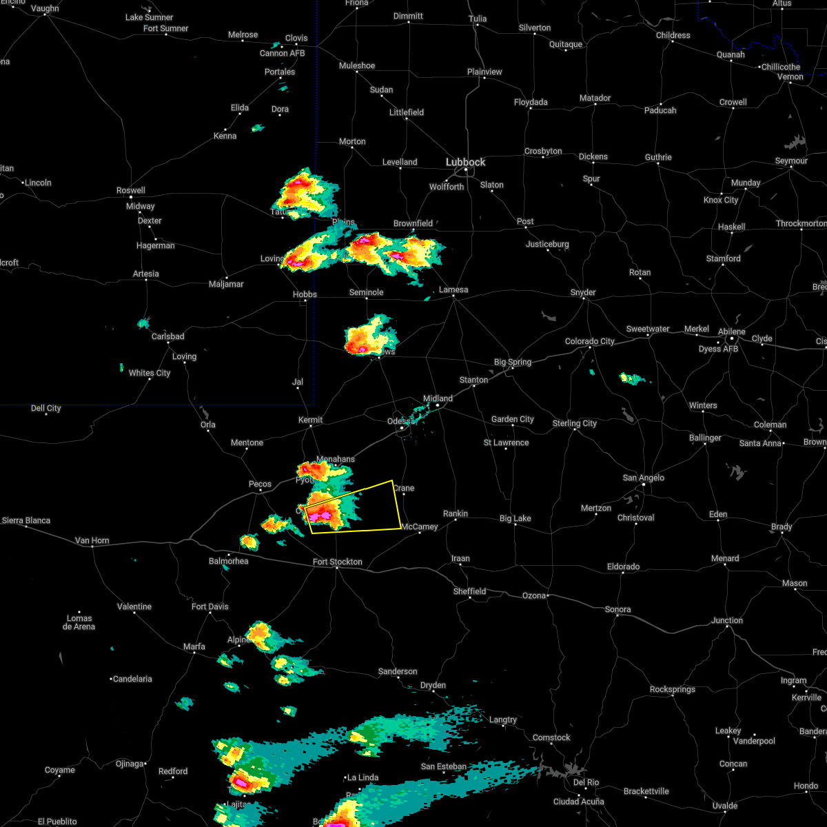
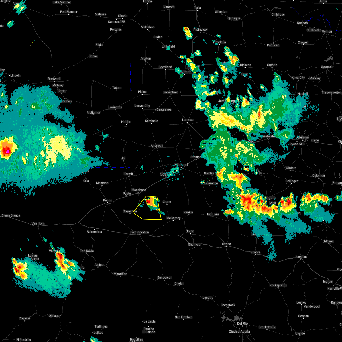
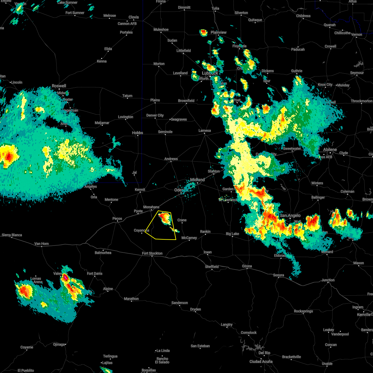
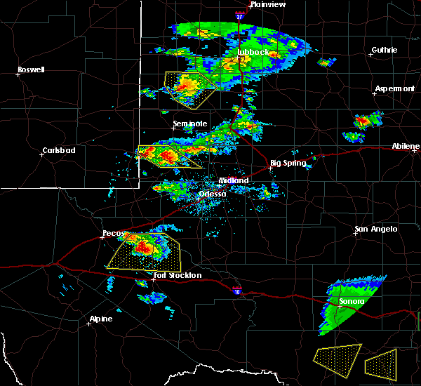
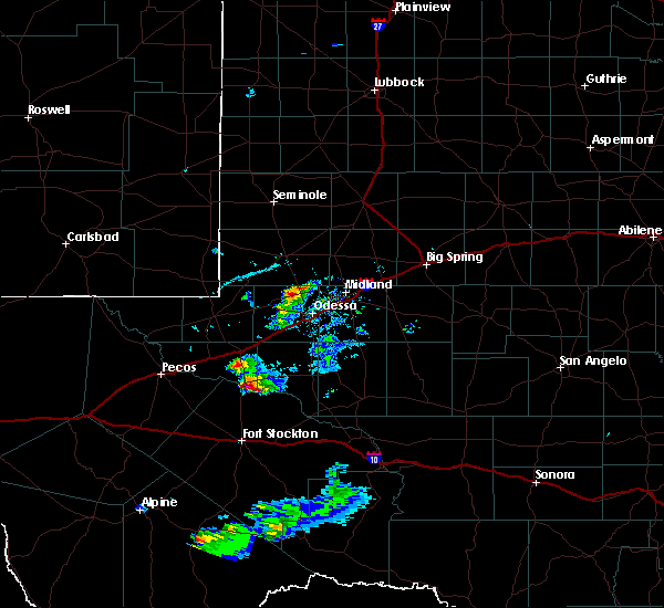
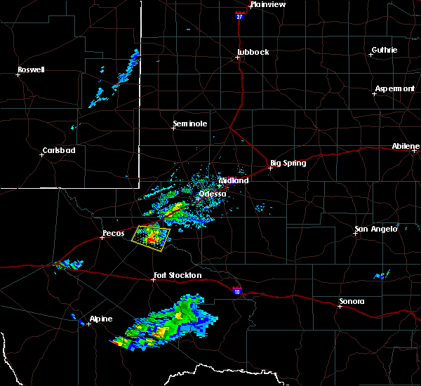
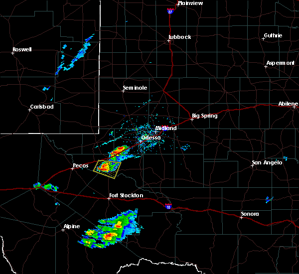
Hail Map for Grandfalls, TX
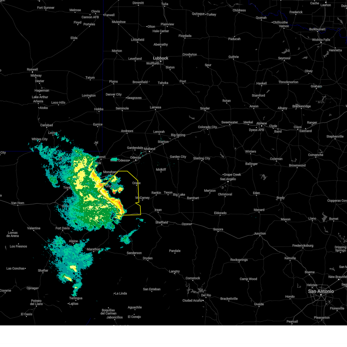
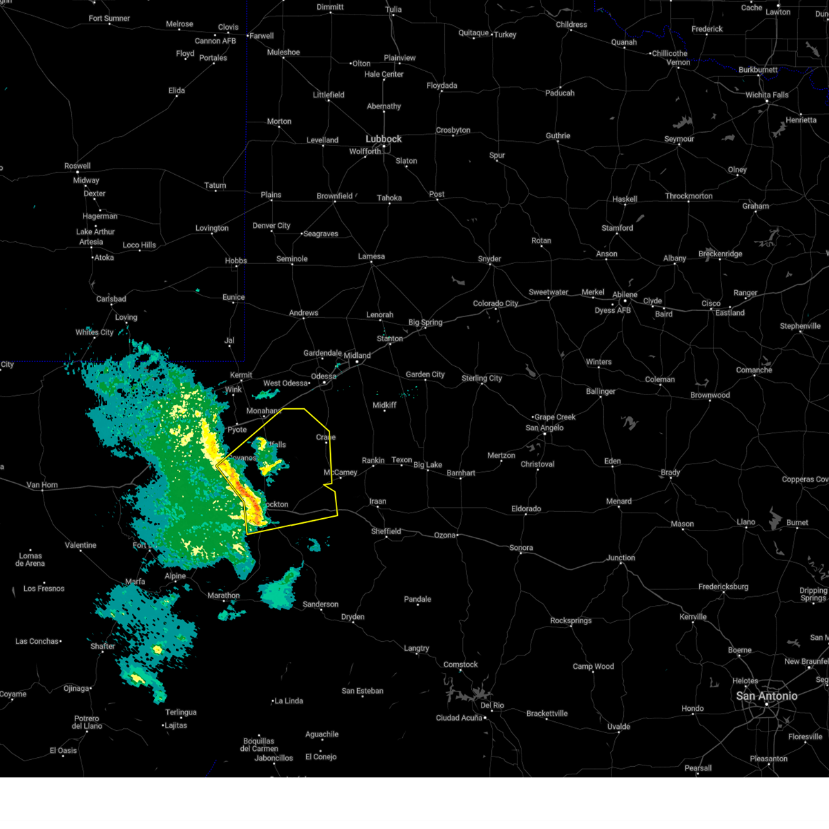
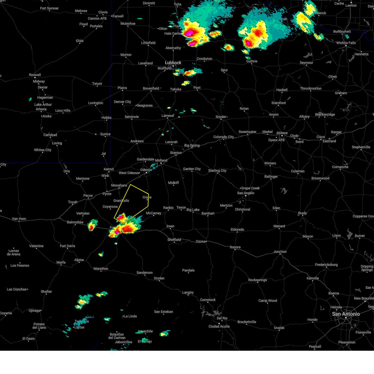
The Grandfalls, TX area has had 9 reports of on-the-ground hail by trained spotters, and has been under severe weather warnings 12 times during the past 12 months. Doppler radar has detected hail at or near Grandfalls, TX on 47 occasions, including 4 occasions during the past year.
| Name: | Grandfalls, TX |
| Where Located: | 45.1 miles SW of Odessa, TX |
| Map: | Google Map for Grandfalls, TX |
| Population: | 360 |
| Housing Units: | 172 |
| More Info: | Search Google for Grandfalls, TX |
5
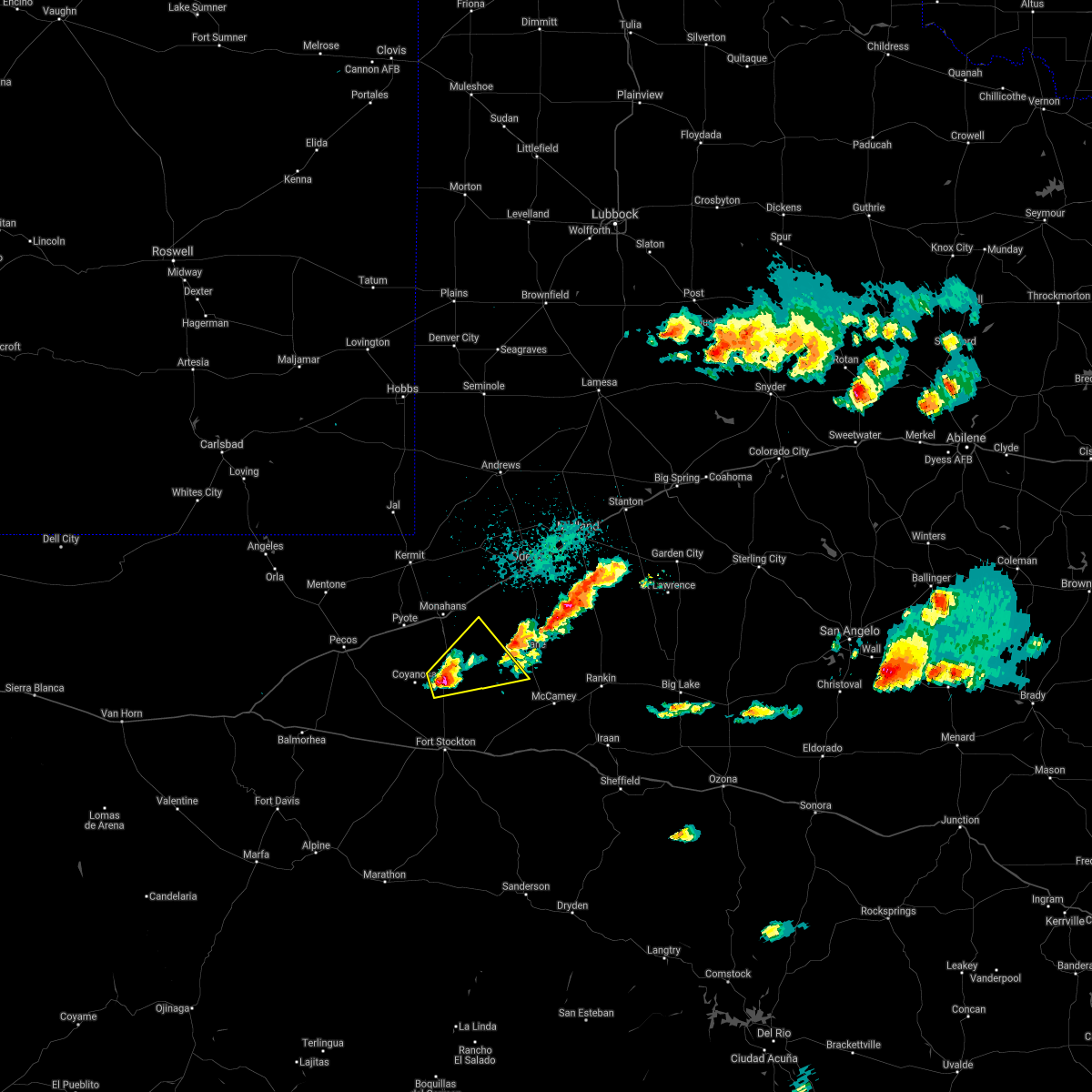
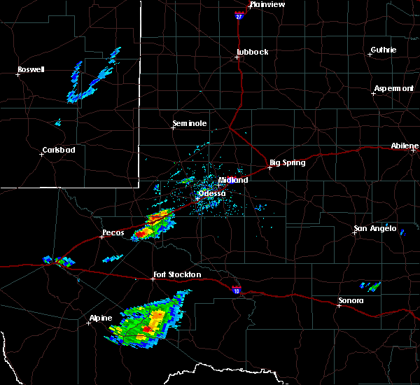
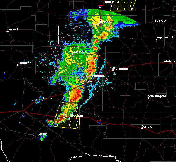
The Top Recent Hail Date for Grandfalls, TX is Wednesday, May 3, 2023 (1st out of 47)
Hail and Wind Damage Spotted near Grandfalls, TX
| Date / Time | Report Details |
|---|---|
| 1/23/2024 8:40 PM CST |
 At 840 pm cst, severe thunderstorms were located along a line extending from 10 miles west of grandfalls to 26 miles southwest of crane to 15 miles northeast of fort stockton, moving northeast at 50 mph (radar indicated). Hazards include 60 mph wind gusts. Expect damage to roofs, siding, and trees. locations impacted include, crane, grandfalls, royalty, coyanosa, imperial reservoir, crane county airport, imperial, bakersfield, girvin, and cordona lake. this includes interstate 10 between mile markers 270 and 277, and between mile markers 283 and 297. hail threat, radar indicated max hail size, <. 75 in wind threat, radar indicated max wind gust, 60 mph. At 840 pm cst, severe thunderstorms were located along a line extending from 10 miles west of grandfalls to 26 miles southwest of crane to 15 miles northeast of fort stockton, moving northeast at 50 mph (radar indicated). Hazards include 60 mph wind gusts. Expect damage to roofs, siding, and trees. locations impacted include, crane, grandfalls, royalty, coyanosa, imperial reservoir, crane county airport, imperial, bakersfield, girvin, and cordona lake. this includes interstate 10 between mile markers 270 and 277, and between mile markers 283 and 297. hail threat, radar indicated max hail size, <. 75 in wind threat, radar indicated max wind gust, 60 mph.
|
| 1/23/2024 8:16 PM CST |
 At 816 pm cst, severe thunderstorms were located along a line extending from 20 miles southeast of barstow to 21 miles south of grandfalls to 7 miles southwest of fort stockton, moving northeast at 45 mph (belding mesonet reported a 58 mph wind gust at 802 pm cst). Hazards include 60 mph wind gusts. expect damage to roofs, siding, and trees At 816 pm cst, severe thunderstorms were located along a line extending from 20 miles southeast of barstow to 21 miles south of grandfalls to 7 miles southwest of fort stockton, moving northeast at 45 mph (belding mesonet reported a 58 mph wind gust at 802 pm cst). Hazards include 60 mph wind gusts. expect damage to roofs, siding, and trees
|
| 10/4/2023 2:59 PM CDT |
 At 259 pm cdt, a severe thunderstorm was located 15 miles south of grandfalls, or 15 miles north of fort stockton, moving northeast at 30 mph (radar indicated). Hazards include ping pong ball size hail and 60 mph wind gusts. People and animals outdoors will be injured. expect hail damage to roofs, siding, windows, and vehicles. Expect wind damage to roofs, siding, and trees. At 259 pm cdt, a severe thunderstorm was located 15 miles south of grandfalls, or 15 miles north of fort stockton, moving northeast at 30 mph (radar indicated). Hazards include ping pong ball size hail and 60 mph wind gusts. People and animals outdoors will be injured. expect hail damage to roofs, siding, windows, and vehicles. Expect wind damage to roofs, siding, and trees.
|
| 9/15/2023 6:17 PM CDT |
 At 617 pm cdt, a severe thunderstorm was located 11 miles west of grandfalls, or 21 miles southwest of monahans, moving northeast at 20 mph (radar indicated). Hazards include ping pong ball size hail and 60 mph wind gusts. People and animals outdoors will be injured. expect hail damage to roofs, siding, windows, and vehicles. expect wind damage to roofs, siding, and trees. locations impacted include, grandfalls, royalty, coyanosa, and imperial reservoir. hail threat, radar indicated max hail size, 1. 50 in wind threat, radar indicated max wind gust, 60 mph. At 617 pm cdt, a severe thunderstorm was located 11 miles west of grandfalls, or 21 miles southwest of monahans, moving northeast at 20 mph (radar indicated). Hazards include ping pong ball size hail and 60 mph wind gusts. People and animals outdoors will be injured. expect hail damage to roofs, siding, windows, and vehicles. expect wind damage to roofs, siding, and trees. locations impacted include, grandfalls, royalty, coyanosa, and imperial reservoir. hail threat, radar indicated max hail size, 1. 50 in wind threat, radar indicated max wind gust, 60 mph.
|
| 9/15/2023 5:54 PM CDT |
 At 554 pm cdt, a severe thunderstorm was located 17 miles southwest of grandfalls, or 26 miles northwest of fort stockton, moving northeast at 20 mph (radar indicated). Hazards include 60 mph wind gusts and quarter size hail. Hail damage to vehicles is expected. Expect wind damage to roofs, siding, and trees. At 554 pm cdt, a severe thunderstorm was located 17 miles southwest of grandfalls, or 26 miles northwest of fort stockton, moving northeast at 20 mph (radar indicated). Hazards include 60 mph wind gusts and quarter size hail. Hail damage to vehicles is expected. Expect wind damage to roofs, siding, and trees.
|
| 9/11/2023 10:03 PM CDT |
 At 1002 pm cdt, a severe thunderstorm was located near thorntonville, or 8 miles southwest of monahans, moving southeast at 40 mph (a 65 mph wind gust was observed in pyote). Hazards include 70 mph wind gusts. Expect considerable tree damage. damage is likely to mobile homes, roofs, and outbuildings. locations impacted include, pecos, monahans, thorntonville, grandfalls, barstow, pyote, wickett, toyah lake, coyanosa, imperial reservoir, pecos municipal airport, roy hurd memorial airport, monahans sandhills state park, royalty, b f goodrich testing track, and imperial. this includes interstate 20 between mile markers 24 and 90. thunderstorm damage threat, considerable hail threat, radar indicated max hail size, <. 75 in wind threat, observed max wind gust, 70 mph. At 1002 pm cdt, a severe thunderstorm was located near thorntonville, or 8 miles southwest of monahans, moving southeast at 40 mph (a 65 mph wind gust was observed in pyote). Hazards include 70 mph wind gusts. Expect considerable tree damage. damage is likely to mobile homes, roofs, and outbuildings. locations impacted include, pecos, monahans, thorntonville, grandfalls, barstow, pyote, wickett, toyah lake, coyanosa, imperial reservoir, pecos municipal airport, roy hurd memorial airport, monahans sandhills state park, royalty, b f goodrich testing track, and imperial. this includes interstate 20 between mile markers 24 and 90. thunderstorm damage threat, considerable hail threat, radar indicated max hail size, <. 75 in wind threat, observed max wind gust, 70 mph.
|
| 9/11/2023 9:36 PM CDT |
 At 935 pm cdt, a severe thunderstorm was located over wink, moving southeast at 40 mph (68 mph wind gust was observed at wink asos at 929 pm cdt). Hazards include 70 mph wind gusts. Expect considerable tree damage. Damage is likely to mobile homes, roofs, and outbuildings. At 935 pm cdt, a severe thunderstorm was located over wink, moving southeast at 40 mph (68 mph wind gust was observed at wink asos at 929 pm cdt). Hazards include 70 mph wind gusts. Expect considerable tree damage. Damage is likely to mobile homes, roofs, and outbuildings.
|
| 5/31/2023 8:20 PM CDT |
 At 819 pm cdt, a severe thunderstorm was located 9 miles south of thorntonville, or 10 miles south of monahans, moving east at 15 mph (radar indicated). Hazards include ping pong ball size hail and 60 mph wind gusts. People and animals outdoors will be injured. expect hail damage to roofs, siding, windows, and vehicles. expect wind damage to roofs, siding, and trees. locations impacted include, grandfalls and royalty. hail threat, radar indicated max hail size, 1. 50 in wind threat, radar indicated max wind gust, 60 mph. At 819 pm cdt, a severe thunderstorm was located 9 miles south of thorntonville, or 10 miles south of monahans, moving east at 15 mph (radar indicated). Hazards include ping pong ball size hail and 60 mph wind gusts. People and animals outdoors will be injured. expect hail damage to roofs, siding, windows, and vehicles. expect wind damage to roofs, siding, and trees. locations impacted include, grandfalls and royalty. hail threat, radar indicated max hail size, 1. 50 in wind threat, radar indicated max wind gust, 60 mph.
|
| 5/31/2023 8:08 PM CDT |
 At 808 pm cdt, a severe thunderstorm was located 9 miles southeast of pyote, or 11 miles southwest of monahans, moving east at 15 mph (radar indicated). Hazards include golf ball size hail and 70 mph wind gusts. People and animals outdoors will be injured. expect hail damage to roofs, siding, windows, and vehicles. expect considerable tree damage. wind damage is also likely to mobile homes, roofs, and outbuildings. locations impacted include, grandfalls, pyote and royalty. This includes interstate 20 between mile markers 66 and 72. At 808 pm cdt, a severe thunderstorm was located 9 miles southeast of pyote, or 11 miles southwest of monahans, moving east at 15 mph (radar indicated). Hazards include golf ball size hail and 70 mph wind gusts. People and animals outdoors will be injured. expect hail damage to roofs, siding, windows, and vehicles. expect considerable tree damage. wind damage is also likely to mobile homes, roofs, and outbuildings. locations impacted include, grandfalls, pyote and royalty. This includes interstate 20 between mile markers 66 and 72.
|
| 5/31/2023 7:54 PM CDT |
 At 754 pm cdt, a severe thunderstorm was located near pyote, or 12 miles southwest of monahans, moving east at 15 mph (radar indicated). Hazards include tennis ball size hail and 70 mph wind gusts. People and animals outdoors will be injured. expect hail damage to roofs, siding, windows, and vehicles. expect considerable tree damage. wind damage is also likely to mobile homes, roofs, and outbuildings. locations impacted include, grandfalls, pyote and royalty. This includes interstate 20 between mile markers 62 and 73. At 754 pm cdt, a severe thunderstorm was located near pyote, or 12 miles southwest of monahans, moving east at 15 mph (radar indicated). Hazards include tennis ball size hail and 70 mph wind gusts. People and animals outdoors will be injured. expect hail damage to roofs, siding, windows, and vehicles. expect considerable tree damage. wind damage is also likely to mobile homes, roofs, and outbuildings. locations impacted include, grandfalls, pyote and royalty. This includes interstate 20 between mile markers 62 and 73.
|
| 5/31/2023 7:44 PM CDT |
 At 744 pm cdt, a severe thunderstorm was located near pyote, or 14 miles southwest of monahans, moving east at 15 mph (radar indicated). Hazards include golf ball size hail and 70 mph wind gusts. People and animals outdoors will be injured. expect hail damage to roofs, siding, windows, and vehicles. expect considerable tree damage. Wind damage is also likely to mobile homes, roofs, and outbuildings. At 744 pm cdt, a severe thunderstorm was located near pyote, or 14 miles southwest of monahans, moving east at 15 mph (radar indicated). Hazards include golf ball size hail and 70 mph wind gusts. People and animals outdoors will be injured. expect hail damage to roofs, siding, windows, and vehicles. expect considerable tree damage. Wind damage is also likely to mobile homes, roofs, and outbuildings.
|
| 5/3/2023 10:05 PM CDT | Golf Ball sized hail reported 0.4 miles W of Grandfalls, TX, public photo showing golf-ball sized hail. time estimated by radar. |
| 5/3/2023 9:56 PM CDT |
 At 956 pm cdt, a severe thunderstorm was located over grandfalls, or 17 miles south of monahans, moving east at 25 mph (radar indicated). Hazards include 60 mph wind gusts and quarter size hail. Hail damage to vehicles is expected. Expect wind damage to roofs, siding, and trees. At 956 pm cdt, a severe thunderstorm was located over grandfalls, or 17 miles south of monahans, moving east at 25 mph (radar indicated). Hazards include 60 mph wind gusts and quarter size hail. Hail damage to vehicles is expected. Expect wind damage to roofs, siding, and trees.
|
| 6/14/2022 7:38 PM CDT |
 The severe thunderstorm warning for ward county will expire at 745 pm cdt, the storm which prompted the warning has moved out of the area. therefore, the warning will be allowed to expire. The severe thunderstorm warning for ward county will expire at 745 pm cdt, the storm which prompted the warning has moved out of the area. therefore, the warning will be allowed to expire.
|
| 6/14/2022 7:22 PM CDT |
 At 721 pm cdt, a severe thunderstorm was located near pyote, or 15 miles southwest of monahans, moving northeast at 5 mph (radar indicated). Hazards include 70 mph wind gusts and half dollar size hail. Hail damage to vehicles is expected. expect considerable tree damage. wind damage is also likely to mobile homes, roofs, and outbuildings. locations impacted include, monahans, thorntonville, grandfalls, pyote, wickett, royalty, roy hurd memorial airport and monahans sandhills state park. this includes interstate 20 between mile markers 54 and 85. thunderstorm damage threat, considerable hail threat, radar indicated max hail size, 1. 25 in wind threat, radar indicated max wind gust, 70 mph. At 721 pm cdt, a severe thunderstorm was located near pyote, or 15 miles southwest of monahans, moving northeast at 5 mph (radar indicated). Hazards include 70 mph wind gusts and half dollar size hail. Hail damage to vehicles is expected. expect considerable tree damage. wind damage is also likely to mobile homes, roofs, and outbuildings. locations impacted include, monahans, thorntonville, grandfalls, pyote, wickett, royalty, roy hurd memorial airport and monahans sandhills state park. this includes interstate 20 between mile markers 54 and 85. thunderstorm damage threat, considerable hail threat, radar indicated max hail size, 1. 25 in wind threat, radar indicated max wind gust, 70 mph.
|
| 6/14/2022 6:55 PM CDT |
 At 655 pm cdt, a severe thunderstorm was located 11 miles south of pyote, or 21 miles southwest of monahans, moving northeast at 10 mph (radar indicated). Hazards include ping pong ball size hail and 60 mph wind gusts. People and animals outdoors will be injured. expect hail damage to roofs, siding, windows, and vehicles. expect wind damage to roofs, siding, and trees. locations impacted include, monahans, thorntonville, grandfalls, pyote, wickett, royalty, coyanosa, b f goodrich testing track, imperial reservoir, roy hurd memorial airport and monahans sandhills state park. this includes interstate 20 between mile markers 54 and 85. hail threat, radar indicated max hail size, 1. 50 in wind threat, radar indicated max wind gust, 60 mph. At 655 pm cdt, a severe thunderstorm was located 11 miles south of pyote, or 21 miles southwest of monahans, moving northeast at 10 mph (radar indicated). Hazards include ping pong ball size hail and 60 mph wind gusts. People and animals outdoors will be injured. expect hail damage to roofs, siding, windows, and vehicles. expect wind damage to roofs, siding, and trees. locations impacted include, monahans, thorntonville, grandfalls, pyote, wickett, royalty, coyanosa, b f goodrich testing track, imperial reservoir, roy hurd memorial airport and monahans sandhills state park. this includes interstate 20 between mile markers 54 and 85. hail threat, radar indicated max hail size, 1. 50 in wind threat, radar indicated max wind gust, 60 mph.
|
| 6/14/2022 6:38 PM CDT |
 At 638 pm cdt, a severe thunderstorm was located 16 miles south of pyote, or 20 miles east of pecos, moving east at 10 mph (radar indicated). Hazards include ping pong ball size hail and 60 mph wind gusts. People and animals outdoors will be injured. expect hail damage to roofs, siding, windows, and vehicles. Expect wind damage to roofs, siding, and trees. At 638 pm cdt, a severe thunderstorm was located 16 miles south of pyote, or 20 miles east of pecos, moving east at 10 mph (radar indicated). Hazards include ping pong ball size hail and 60 mph wind gusts. People and animals outdoors will be injured. expect hail damage to roofs, siding, windows, and vehicles. Expect wind damage to roofs, siding, and trees.
|
| 5/10/2022 6:11 PM CDT |
 At 611 pm cdt, a severe thunderstorm was located 17 miles northeast of fort stockton, moving northeast at 30 mph (emergency management reported wind damage in fort stockton associated with this storm). Hazards include 70 mph wind gusts and penny size hail. Expect considerable tree damage. damage is likely to mobile homes, roofs, and outbuildings. locations impacted include, grandfalls, imperial, imperial reservoir and cordona lake. this includes interstate 10 between mile markers 269 and 275. thunderstorm damage threat, considerable hail threat, radar indicated max hail size, 0. 75 in wind threat, observed max wind gust, 70 mph. At 611 pm cdt, a severe thunderstorm was located 17 miles northeast of fort stockton, moving northeast at 30 mph (emergency management reported wind damage in fort stockton associated with this storm). Hazards include 70 mph wind gusts and penny size hail. Expect considerable tree damage. damage is likely to mobile homes, roofs, and outbuildings. locations impacted include, grandfalls, imperial, imperial reservoir and cordona lake. this includes interstate 10 between mile markers 269 and 275. thunderstorm damage threat, considerable hail threat, radar indicated max hail size, 0. 75 in wind threat, observed max wind gust, 70 mph.
|
| 5/10/2022 5:45 PM CDT |
 At 544 pm cdt, a severe thunderstorm was located near fort stockton, moving northeast at 30 mph (emergency management reported wind damage in fort stockton. wind gusts up to 65 mph were observed at the airport in fort stockton). Hazards include 70 mph wind gusts and quarter size hail. Hail damage to vehicles is expected. expect considerable tree damage. Wind damage is also likely to mobile homes, roofs, and outbuildings. At 544 pm cdt, a severe thunderstorm was located near fort stockton, moving northeast at 30 mph (emergency management reported wind damage in fort stockton. wind gusts up to 65 mph were observed at the airport in fort stockton). Hazards include 70 mph wind gusts and quarter size hail. Hail damage to vehicles is expected. expect considerable tree damage. Wind damage is also likely to mobile homes, roofs, and outbuildings.
|
| 5/1/2022 6:57 PM CDT |
 At 656 pm cdt, a severe thunderstorm was located 11 miles northeast of grandfalls, or 13 miles southeast of monahans, moving northeast at 55 mph (radar indicated). Hazards include golf ball size hail and 60 mph wind gusts. People and animals outdoors will be injured. expect hail damage to roofs, siding, windows, and vehicles. expect wind damage to roofs, siding, and trees. locations impacted include, grandfalls, royalty, imperial, coyanosa, imperial reservoir and cordona lake. thunderstorm damage threat, considerable hail threat, radar indicated max hail size, 1. 75 in wind threat, radar indicated max wind gust, 60 mph. At 656 pm cdt, a severe thunderstorm was located 11 miles northeast of grandfalls, or 13 miles southeast of monahans, moving northeast at 55 mph (radar indicated). Hazards include golf ball size hail and 60 mph wind gusts. People and animals outdoors will be injured. expect hail damage to roofs, siding, windows, and vehicles. expect wind damage to roofs, siding, and trees. locations impacted include, grandfalls, royalty, imperial, coyanosa, imperial reservoir and cordona lake. thunderstorm damage threat, considerable hail threat, radar indicated max hail size, 1. 75 in wind threat, radar indicated max wind gust, 60 mph.
|
| 5/1/2022 6:33 PM CDT |
 At 633 pm cdt, a severe thunderstorm was located 10 miles southwest of grandfalls, or 24 miles south of monahans, moving northeast at 55 mph (radar indicated). Hazards include 60 mph wind gusts and half dollar size hail. Hail damage to vehicles is expected. Expect wind damage to roofs, siding, and trees. At 633 pm cdt, a severe thunderstorm was located 10 miles southwest of grandfalls, or 24 miles south of monahans, moving northeast at 55 mph (radar indicated). Hazards include 60 mph wind gusts and half dollar size hail. Hail damage to vehicles is expected. Expect wind damage to roofs, siding, and trees.
|
| 5/1/2022 4:57 PM CDT |
 At 457 pm cdt, a severe thunderstorm capable of producing a tornado was located 11 miles southwest of grandfalls, or 23 miles north of fort stockton, moving east at 20 mph (radar indicated rotation). Hazards include tornado and hail up to two inches in diameter. Flying debris will be dangerous to those caught without shelter. mobile homes will be damaged or destroyed. damage to roofs, windows, and vehicles will occur. tree damage is likely. this dangerous storm will be near, grandfalls around 530 pm cdt. Other locations impacted by this tornadic thunderstorm include coyanosa, imperial reservoir and imperial. At 457 pm cdt, a severe thunderstorm capable of producing a tornado was located 11 miles southwest of grandfalls, or 23 miles north of fort stockton, moving east at 20 mph (radar indicated rotation). Hazards include tornado and hail up to two inches in diameter. Flying debris will be dangerous to those caught without shelter. mobile homes will be damaged or destroyed. damage to roofs, windows, and vehicles will occur. tree damage is likely. this dangerous storm will be near, grandfalls around 530 pm cdt. Other locations impacted by this tornadic thunderstorm include coyanosa, imperial reservoir and imperial.
|
| 5/1/2022 4:51 PM CDT |
 At 451 pm cdt, a severe thunderstorm was located near grandfalls, or 21 miles south of monahans, moving east at 40 mph (radar indicated). Hazards include two inch hail and 60 mph wind gusts. People and animals outdoors will be injured. expect hail damage to roofs, siding, windows, and vehicles. expect wind damage to roofs, siding, and trees. Locations impacted include, grandfalls, royalty, imperial, coyanosa, imperial reservoir and cordona lake. At 451 pm cdt, a severe thunderstorm was located near grandfalls, or 21 miles south of monahans, moving east at 40 mph (radar indicated). Hazards include two inch hail and 60 mph wind gusts. People and animals outdoors will be injured. expect hail damage to roofs, siding, windows, and vehicles. expect wind damage to roofs, siding, and trees. Locations impacted include, grandfalls, royalty, imperial, coyanosa, imperial reservoir and cordona lake.
|
| 5/1/2022 4:40 PM CDT |
 At 440 pm cdt, a severe thunderstorm was located 9 miles southwest of grandfalls, or 23 miles south of monahans, moving east at 40 mph (radar indicated). Hazards include ping pong ball size hail and 60 mph wind gusts. People and animals outdoors will be injured. expect hail damage to roofs, siding, windows, and vehicles. Expect wind damage to roofs, siding, and trees. At 440 pm cdt, a severe thunderstorm was located 9 miles southwest of grandfalls, or 23 miles south of monahans, moving east at 40 mph (radar indicated). Hazards include ping pong ball size hail and 60 mph wind gusts. People and animals outdoors will be injured. expect hail damage to roofs, siding, windows, and vehicles. Expect wind damage to roofs, siding, and trees.
|
| 7/11/2021 7:29 PM CDT |
 At 728 pm cdt, a severe thunderstorm was located 8 miles east of grandfalls, or 20 miles southeast of monahans, moving south at 15 mph (radar indicated). Hazards include 60 mph wind gusts and quarter size hail. Hail damage to vehicles is expected. expect wind damage to roofs, siding, and trees. Locations impacted include, grandfalls, imperial, imperial reservoir and cordona lake. At 728 pm cdt, a severe thunderstorm was located 8 miles east of grandfalls, or 20 miles southeast of monahans, moving south at 15 mph (radar indicated). Hazards include 60 mph wind gusts and quarter size hail. Hail damage to vehicles is expected. expect wind damage to roofs, siding, and trees. Locations impacted include, grandfalls, imperial, imperial reservoir and cordona lake.
|
| 7/11/2021 7:08 PM CDT |
 At 707 pm cdt, a severe thunderstorm was located 10 miles northeast of grandfalls, or 13 miles southeast of monahans, moving south at 15 mph (radar indicated). Hazards include 60 mph wind gusts and quarter size hail. Hail damage to vehicles is expected. expect wind damage to roofs, siding, and trees. Locations impacted include, grandfalls, royalty, imperial, imperial reservoir and cordona lake. At 707 pm cdt, a severe thunderstorm was located 10 miles northeast of grandfalls, or 13 miles southeast of monahans, moving south at 15 mph (radar indicated). Hazards include 60 mph wind gusts and quarter size hail. Hail damage to vehicles is expected. expect wind damage to roofs, siding, and trees. Locations impacted include, grandfalls, royalty, imperial, imperial reservoir and cordona lake.
|
| 7/11/2021 6:57 PM CDT |
 At 656 pm cdt, a severe thunderstorm was located 12 miles southeast of monahans, moving south at 10 mph (radar indicated). Hazards include 60 mph wind gusts and quarter size hail. Hail damage to vehicles is expected. Expect wind damage to roofs, siding, and trees. At 656 pm cdt, a severe thunderstorm was located 12 miles southeast of monahans, moving south at 10 mph (radar indicated). Hazards include 60 mph wind gusts and quarter size hail. Hail damage to vehicles is expected. Expect wind damage to roofs, siding, and trees.
|
| 6/25/2021 4:09 PM CDT |
 At 408 pm cdt, a severe thunderstorm was located 7 miles northeast of grandfalls, or 13 miles southeast of monahans, moving northeast at 10 mph (radar indicated). Hazards include 60 mph wind gusts and quarter size hail. Hail damage to vehicles is expected. expect wind damage to roofs, siding, and trees. locations impacted include, monahans, grandfalls, royalty, monahans sandhills state park and roy hurd memorial airport. This includes interstate 20 between mile markers 80 and 90. At 408 pm cdt, a severe thunderstorm was located 7 miles northeast of grandfalls, or 13 miles southeast of monahans, moving northeast at 10 mph (radar indicated). Hazards include 60 mph wind gusts and quarter size hail. Hail damage to vehicles is expected. expect wind damage to roofs, siding, and trees. locations impacted include, monahans, grandfalls, royalty, monahans sandhills state park and roy hurd memorial airport. This includes interstate 20 between mile markers 80 and 90.
|
| 6/25/2021 3:46 PM CDT |
 At 346 pm cdt, a severe thunderstorm was located near grandfalls, or 12 miles south of monahans, moving north at 10 mph (radar indicated). Hazards include 60 mph wind gusts and quarter size hail. Hail damage to vehicles is expected. Expect wind damage to roofs, siding, and trees. At 346 pm cdt, a severe thunderstorm was located near grandfalls, or 12 miles south of monahans, moving north at 10 mph (radar indicated). Hazards include 60 mph wind gusts and quarter size hail. Hail damage to vehicles is expected. Expect wind damage to roofs, siding, and trees.
|
| 6/9/2021 6:56 PM CDT | Half Dollar sized hail reported 3.2 miles NNW of Grandfalls, TX, most hail is around dime size... some quarter and half dollar size |
| 6/9/2021 6:56 PM CDT |
 At 656 pm cdt, a severe thunderstorm was located near grandfalls, or 20 miles south of monahans, and is nearly stationary (trained spotter on the ground reported up to half dollar size hail). Hazards include 60 mph wind gusts and half dollar size hail. Hail damage to vehicles is expected. Expect wind damage to roofs, siding, and trees. At 656 pm cdt, a severe thunderstorm was located near grandfalls, or 20 miles south of monahans, and is nearly stationary (trained spotter on the ground reported up to half dollar size hail). Hazards include 60 mph wind gusts and half dollar size hail. Hail damage to vehicles is expected. Expect wind damage to roofs, siding, and trees.
|
| 6/2/2021 8:38 PM CDT |
 At 838 pm cdt, severe thunderstorms were located along a line extending from 6 miles north of pyote to 15 miles northwest of fort stockton, moving east at 35 mph (radar indicated). Hazards include 60 mph wind gusts and quarter size hail. Hail damage to vehicles is expected. expect wind damage to roofs, siding, and trees. locations impacted include, thorntonville, grandfalls, barstow, pyote, wickett, royalty, coyanosa, b f goodrich testing track and imperial reservoir. This includes interstate 20 between mile markers 49 and 77. At 838 pm cdt, severe thunderstorms were located along a line extending from 6 miles north of pyote to 15 miles northwest of fort stockton, moving east at 35 mph (radar indicated). Hazards include 60 mph wind gusts and quarter size hail. Hail damage to vehicles is expected. expect wind damage to roofs, siding, and trees. locations impacted include, thorntonville, grandfalls, barstow, pyote, wickett, royalty, coyanosa, b f goodrich testing track and imperial reservoir. This includes interstate 20 between mile markers 49 and 77.
|
| 6/2/2021 8:18 PM CDT |
 At 817 pm cdt, severe thunderstorms were located along a line extending from 8 miles west of pyote to 18 miles northwest of fort stockton, moving east at 40 mph (radar indicated). Hazards include 60 mph wind gusts and half dollar size hail. Hail damage to vehicles is expected. Expect wind damage to roofs, siding, and trees. At 817 pm cdt, severe thunderstorms were located along a line extending from 8 miles west of pyote to 18 miles northwest of fort stockton, moving east at 40 mph (radar indicated). Hazards include 60 mph wind gusts and half dollar size hail. Hail damage to vehicles is expected. Expect wind damage to roofs, siding, and trees.
|
| 5/31/2021 5:39 PM CDT |
 At 538 pm cdt, a severe thunderstorm was located over grandfalls, or 16 miles south of monahans, moving east at 25 mph (radar indicated). Hazards include two inch hail and 70 mph wind gusts. there has been a report on the ground of two inch hail in this storm. People and animals outdoors will be injured. expect hail damage to roofs, siding, windows, and vehicles. expect considerable tree damage. wind damage is also likely to mobile homes, roofs, and outbuildings. Locations impacted include, monahans, grandfalls, royalty, imperial and imperial reservoir. At 538 pm cdt, a severe thunderstorm was located over grandfalls, or 16 miles south of monahans, moving east at 25 mph (radar indicated). Hazards include two inch hail and 70 mph wind gusts. there has been a report on the ground of two inch hail in this storm. People and animals outdoors will be injured. expect hail damage to roofs, siding, windows, and vehicles. expect considerable tree damage. wind damage is also likely to mobile homes, roofs, and outbuildings. Locations impacted include, monahans, grandfalls, royalty, imperial and imperial reservoir.
|
| 5/31/2021 5:25 PM CDT |
 At 525 pm cdt, a severe thunderstorm was located near grandfalls, or 15 miles south of monahans, moving east at 25 mph (radar indicated). Hazards include golf ball size hail and 70 mph wind gusts. reports on the ground of strong wind. People and animals outdoors will be injured. expect hail damage to roofs, siding, windows, and vehicles. expect considerable tree damage. wind damage is also likely to mobile homes, roofs, and outbuildings. Locations impacted include, monahans, grandfalls, royalty, imperial and imperial reservoir. At 525 pm cdt, a severe thunderstorm was located near grandfalls, or 15 miles south of monahans, moving east at 25 mph (radar indicated). Hazards include golf ball size hail and 70 mph wind gusts. reports on the ground of strong wind. People and animals outdoors will be injured. expect hail damage to roofs, siding, windows, and vehicles. expect considerable tree damage. wind damage is also likely to mobile homes, roofs, and outbuildings. Locations impacted include, monahans, grandfalls, royalty, imperial and imperial reservoir.
|
| 5/31/2021 5:12 PM CDT |
 At 512 pm cdt, a severe thunderstorm was located 10 miles west of grandfalls, or 16 miles southwest of monahans, moving east at 25 mph (radar indicated). Hazards include ping pong ball size hail and 60 mph wind gusts. People and animals outdoors will be injured. expect hail damage to roofs, siding, windows, and vehicles. Expect wind damage to roofs, siding, and trees. At 512 pm cdt, a severe thunderstorm was located 10 miles west of grandfalls, or 16 miles southwest of monahans, moving east at 25 mph (radar indicated). Hazards include ping pong ball size hail and 60 mph wind gusts. People and animals outdoors will be injured. expect hail damage to roofs, siding, windows, and vehicles. Expect wind damage to roofs, siding, and trees.
|
| 5/28/2021 6:15 PM CDT |
 At 615 pm cdt, a severe thunderstorm was located 15 miles northeast of grandfalls, or 17 miles southeast of monahans, moving northeast at 20 mph (radar indicated). Hazards include two inch hail and 60 mph wind gusts. People and animals outdoors will be injured. expect hail damage to roofs, siding, windows, and vehicles. expect wind damage to roofs, siding, and trees. Locations impacted include, crane, grandfalls, royalty, coyanosa, imperial reservoir, crane county airport, imperial, king mountain and cordona lake. At 615 pm cdt, a severe thunderstorm was located 15 miles northeast of grandfalls, or 17 miles southeast of monahans, moving northeast at 20 mph (radar indicated). Hazards include two inch hail and 60 mph wind gusts. People and animals outdoors will be injured. expect hail damage to roofs, siding, windows, and vehicles. expect wind damage to roofs, siding, and trees. Locations impacted include, crane, grandfalls, royalty, coyanosa, imperial reservoir, crane county airport, imperial, king mountain and cordona lake.
|
| 5/28/2021 6:10 PM CDT | Quarter sized hail reported 3.2 miles NNW of Grandfalls, TX |
| 5/28/2021 6:05 PM CDT |
 At 605 pm cdt, a severe thunderstorm was located 8 miles east of grandfalls, or 16 miles southeast of monahans, moving northeast at 25 mph (radar indicated). Hazards include 70 mph wind gusts and ping pong ball size hail. People and animals outdoors will be injured. expect hail damage to roofs, siding, windows, and vehicles. expect considerable tree damage. wind damage is also likely to mobile homes, roofs, and outbuildings. Locations impacted include, crane, grandfalls, royalty, coyanosa, imperial reservoir, crane county airport, imperial, king mountain and cordona lake. At 605 pm cdt, a severe thunderstorm was located 8 miles east of grandfalls, or 16 miles southeast of monahans, moving northeast at 25 mph (radar indicated). Hazards include 70 mph wind gusts and ping pong ball size hail. People and animals outdoors will be injured. expect hail damage to roofs, siding, windows, and vehicles. expect considerable tree damage. wind damage is also likely to mobile homes, roofs, and outbuildings. Locations impacted include, crane, grandfalls, royalty, coyanosa, imperial reservoir, crane county airport, imperial, king mountain and cordona lake.
|
| 5/28/2021 5:46 PM CDT |
 At 546 pm cdt, a severe thunderstorm was located over grandfalls, or 19 miles south of monahans, moving northeast at 25 mph (radar indicated). Hazards include golf ball size hail and 70 mph wind gusts. People and animals outdoors will be injured. expect hail damage to roofs, siding, windows, and vehicles. expect considerable tree damage. Wind damage is also likely to mobile homes, roofs, and outbuildings. At 546 pm cdt, a severe thunderstorm was located over grandfalls, or 19 miles south of monahans, moving northeast at 25 mph (radar indicated). Hazards include golf ball size hail and 70 mph wind gusts. People and animals outdoors will be injured. expect hail damage to roofs, siding, windows, and vehicles. expect considerable tree damage. Wind damage is also likely to mobile homes, roofs, and outbuildings.
|
| 5/26/2021 7:33 PM CDT |
 At 733 pm cdt, a severe thunderstorm was located 7 miles west of grandfalls, or 16 miles south of monahans, moving southeast at 15 mph (radar indicated). Hazards include two inch hail and 70 mph wind gusts. People and animals outdoors will be injured. expect hail damage to roofs, siding, windows, and vehicles. expect considerable tree damage. wind damage is also likely to mobile homes, roofs, and outbuildings. locations impacted include, monahans, thorntonville, grandfalls, pyote, wickett, royalty, roy hurd memorial airport and monahans sandhills state park. This includes interstate 20 between mile markers 63 and 87. At 733 pm cdt, a severe thunderstorm was located 7 miles west of grandfalls, or 16 miles south of monahans, moving southeast at 15 mph (radar indicated). Hazards include two inch hail and 70 mph wind gusts. People and animals outdoors will be injured. expect hail damage to roofs, siding, windows, and vehicles. expect considerable tree damage. wind damage is also likely to mobile homes, roofs, and outbuildings. locations impacted include, monahans, thorntonville, grandfalls, pyote, wickett, royalty, roy hurd memorial airport and monahans sandhills state park. This includes interstate 20 between mile markers 63 and 87.
|
| 5/26/2021 7:15 PM CDT |
 At 715 pm cdt, a severe thunderstorm was located 10 miles northwest of grandfalls, or 14 miles southwest of monahans, moving southeast at 15 mph (radar indicated). Hazards include 60 mph wind gusts and quarter size hail. Hail damage to vehicles is expected. expect wind damage to roofs, siding, and trees. locations impacted include, monahans, thorntonville, grandfalls, pyote, wickett, royalty, roy hurd memorial airport and monahans sandhills state park. This includes interstate 20 between mile markers 63 and 87. At 715 pm cdt, a severe thunderstorm was located 10 miles northwest of grandfalls, or 14 miles southwest of monahans, moving southeast at 15 mph (radar indicated). Hazards include 60 mph wind gusts and quarter size hail. Hail damage to vehicles is expected. expect wind damage to roofs, siding, and trees. locations impacted include, monahans, thorntonville, grandfalls, pyote, wickett, royalty, roy hurd memorial airport and monahans sandhills state park. This includes interstate 20 between mile markers 63 and 87.
|
| 5/26/2021 6:43 PM CDT |
 At 643 pm cdt, a severe thunderstorm was located near pyote, or 14 miles southwest of monahans, moving southeast at 15 mph (radar indicated). Hazards include two inch hail and 70 mph wind gusts. People and animals outdoors will be injured. expect hail damage to roofs, siding, windows, and vehicles. expect considerable tree damage. Wind damage is also likely to mobile homes, roofs, and outbuildings. At 643 pm cdt, a severe thunderstorm was located near pyote, or 14 miles southwest of monahans, moving southeast at 15 mph (radar indicated). Hazards include two inch hail and 70 mph wind gusts. People and animals outdoors will be injured. expect hail damage to roofs, siding, windows, and vehicles. expect considerable tree damage. Wind damage is also likely to mobile homes, roofs, and outbuildings.
|
| 5/18/2021 1:59 AM CDT |
 At 159 am cdt, a severe thunderstorm was located near grandfalls, or 20 miles southeast of monahans, moving northeast at 35 mph (radar indicated). Hazards include ping pong ball size hail and 60 mph wind gusts. People and animals outdoors will be injured. expect hail damage to roofs, siding, windows, and vehicles. expect wind damage to roofs, siding, and trees. Locations impacted include, grandfalls, royalty, imperial, imperial reservoir and cordona lake. At 159 am cdt, a severe thunderstorm was located near grandfalls, or 20 miles southeast of monahans, moving northeast at 35 mph (radar indicated). Hazards include ping pong ball size hail and 60 mph wind gusts. People and animals outdoors will be injured. expect hail damage to roofs, siding, windows, and vehicles. expect wind damage to roofs, siding, and trees. Locations impacted include, grandfalls, royalty, imperial, imperial reservoir and cordona lake.
|
| 5/18/2021 1:50 AM CDT |
 At 149 am cdt, a severe thunderstorm was located near grandfalls, or 22 miles south of monahans, moving northeast at 35 mph (radar indicated). Hazards include 60 mph wind gusts and half dollar size hail. Hail damage to vehicles is expected. Expect wind damage to roofs, siding, and trees. At 149 am cdt, a severe thunderstorm was located near grandfalls, or 22 miles south of monahans, moving northeast at 35 mph (radar indicated). Hazards include 60 mph wind gusts and half dollar size hail. Hail damage to vehicles is expected. Expect wind damage to roofs, siding, and trees.
|
| 5/13/2020 4:52 PM CDT |
 At 452 pm cdt, a severe thunderstorm was located 7 miles southeast of monahans, moving north at 30 mph (radar indicated). Hazards include 60 mph wind gusts and half dollar size hail. Hail damage to vehicles is expected. expect wind damage to roofs, siding, and trees. locations impacted include, monahans, thorntonville, grandfalls, royalty, roy hurd memorial airport and monahans sandhills state park. This includes interstate 20 between mile markers 77 and 98. At 452 pm cdt, a severe thunderstorm was located 7 miles southeast of monahans, moving north at 30 mph (radar indicated). Hazards include 60 mph wind gusts and half dollar size hail. Hail damage to vehicles is expected. expect wind damage to roofs, siding, and trees. locations impacted include, monahans, thorntonville, grandfalls, royalty, roy hurd memorial airport and monahans sandhills state park. This includes interstate 20 between mile markers 77 and 98.
|
| 5/13/2020 4:31 PM CDT |
 At 431 pm cdt, a severe thunderstorm was located near grandfalls, or 13 miles south of monahans, moving north at 30 mph (radar indicated). Hazards include 60 mph wind gusts and quarter size hail. Hail damage to vehicles is expected. Expect wind damage to roofs, siding, and trees. At 431 pm cdt, a severe thunderstorm was located near grandfalls, or 13 miles south of monahans, moving north at 30 mph (radar indicated). Hazards include 60 mph wind gusts and quarter size hail. Hail damage to vehicles is expected. Expect wind damage to roofs, siding, and trees.
|
| 4/10/2020 6:38 PM CDT |
 At 637 pm cdt, a severe thunderstorm was located near grandfalls, or 11 miles south of monahans, moving east at 25 mph (radar indicated). Hazards include 60 mph wind gusts and quarter size hail. Hail damage to vehicles is expected. expect wind damage to roofs, siding, and trees. locations impacted include, monahans, thorntonville, grandfalls, pyote, wickett, royalty, roy hurd memorial airport and monahans sandhills state park. This includes interstate 20 between mile markers 62 and 88. At 637 pm cdt, a severe thunderstorm was located near grandfalls, or 11 miles south of monahans, moving east at 25 mph (radar indicated). Hazards include 60 mph wind gusts and quarter size hail. Hail damage to vehicles is expected. expect wind damage to roofs, siding, and trees. locations impacted include, monahans, thorntonville, grandfalls, pyote, wickett, royalty, roy hurd memorial airport and monahans sandhills state park. This includes interstate 20 between mile markers 62 and 88.
|
| 4/10/2020 6:15 PM CDT |
 At 615 pm cdt, a severe thunderstorm was located over pyote, or 14 miles west of monahans, moving north at 25 mph (radar indicated). Hazards include 60 mph wind gusts and quarter size hail. Hail damage to vehicles is expected. expect wind damage to roofs, siding, and trees. locations impacted include, monahans, thorntonville, grandfalls, pyote, wickett, royalty, roy hurd memorial airport and monahans sandhills state park. This includes interstate 20 between mile markers 62 and 88. At 615 pm cdt, a severe thunderstorm was located over pyote, or 14 miles west of monahans, moving north at 25 mph (radar indicated). Hazards include 60 mph wind gusts and quarter size hail. Hail damage to vehicles is expected. expect wind damage to roofs, siding, and trees. locations impacted include, monahans, thorntonville, grandfalls, pyote, wickett, royalty, roy hurd memorial airport and monahans sandhills state park. This includes interstate 20 between mile markers 62 and 88.
|
| 4/10/2020 6:00 PM CDT |
 At 559 pm cdt, a severe thunderstorm was located 7 miles south of pyote, or 17 miles southwest of monahans, moving northeast at 30 mph (radar indicated). Hazards include 60 mph wind gusts and quarter size hail. Hail damage to vehicles is expected. Expect wind damage to roofs, siding, and trees. At 559 pm cdt, a severe thunderstorm was located 7 miles south of pyote, or 17 miles southwest of monahans, moving northeast at 30 mph (radar indicated). Hazards include 60 mph wind gusts and quarter size hail. Hail damage to vehicles is expected. Expect wind damage to roofs, siding, and trees.
|
| 8/27/2019 7:23 PM CDT |
 At 722 pm cdt, a cluster of severe thunderstorms was located over portions of ward and winkler counties, moving south at 10 mph (radar indicated). Hazards include 60 mph wind gusts and half dollar size hail. Hail damage to vehicles is expected. Expect wind damage to roofs, siding, and trees. At 722 pm cdt, a cluster of severe thunderstorms was located over portions of ward and winkler counties, moving south at 10 mph (radar indicated). Hazards include 60 mph wind gusts and half dollar size hail. Hail damage to vehicles is expected. Expect wind damage to roofs, siding, and trees.
|
| 6/1/2019 5:51 PM CDT |
 At 550 pm cdt, a severe thunderstorm was located 22 miles southwest of grandfalls, or 24 miles southeast of pecos, moving east at 15 mph (radar indicated). Hazards include tennis ball size hail and 60 mph wind gusts. People and animals outdoors will be injured. expect hail damage to roofs, siding, windows, and vehicles. expect wind damage to roofs, siding, and trees. Locations impacted include, grandfalls, coyanosa, b f goodrich testing track and imperial reservoir. At 550 pm cdt, a severe thunderstorm was located 22 miles southwest of grandfalls, or 24 miles southeast of pecos, moving east at 15 mph (radar indicated). Hazards include tennis ball size hail and 60 mph wind gusts. People and animals outdoors will be injured. expect hail damage to roofs, siding, windows, and vehicles. expect wind damage to roofs, siding, and trees. Locations impacted include, grandfalls, coyanosa, b f goodrich testing track and imperial reservoir.
|
| 6/1/2019 5:43 PM CDT |
 At 543 pm cdt, a severe thunderstorm was located 20 miles southeast of barstow, or 21 miles southeast of pecos, moving east at 15 mph (radar indicated). Hazards include ping pong ball size hail and 60 mph wind gusts. People and animals outdoors will be injured. expect hail damage to roofs, siding, windows, and vehicles. Expect wind damage to roofs, siding, and trees. At 543 pm cdt, a severe thunderstorm was located 20 miles southeast of barstow, or 21 miles southeast of pecos, moving east at 15 mph (radar indicated). Hazards include ping pong ball size hail and 60 mph wind gusts. People and animals outdoors will be injured. expect hail damage to roofs, siding, windows, and vehicles. Expect wind damage to roofs, siding, and trees.
|
| 5/30/2019 9:38 AM CDT |
 At 915 am cdt, a severe thunderstorm was located 10 miles west of grandfalls, or 20 miles southwest of monahans, moving northeast at 15 mph (radar indicated). Hazards include 60 mph wind gusts and half dollar size hail. Hail damage to vehicles is expected. Expect wind damage to roofs, siding, and trees. At 915 am cdt, a severe thunderstorm was located 10 miles west of grandfalls, or 20 miles southwest of monahans, moving northeast at 15 mph (radar indicated). Hazards include 60 mph wind gusts and half dollar size hail. Hail damage to vehicles is expected. Expect wind damage to roofs, siding, and trees.
|
| 5/30/2019 9:15 AM CDT |
 At 915 am cdt, a severe thunderstorm was located 10 miles west of grandfalls, or 20 miles southwest of monahans, moving northeast at 15 mph (radar indicated). Hazards include 60 mph wind gusts and half dollar size hail. Hail damage to vehicles is expected. Expect wind damage to roofs, siding, and trees. At 915 am cdt, a severe thunderstorm was located 10 miles west of grandfalls, or 20 miles southwest of monahans, moving northeast at 15 mph (radar indicated). Hazards include 60 mph wind gusts and half dollar size hail. Hail damage to vehicles is expected. Expect wind damage to roofs, siding, and trees.
|
| 5/25/2019 3:57 PM CDT | Quarter sized hail reported 9.2 miles NNE of Grandfalls, TX |
| 5/25/2019 3:02 PM CDT |
 At 302 pm cdt, a severe thunderstorm was located near grandfalls, or 19 miles southeast of monahans, moving northeast at 30 mph. trained spotter has reported hail to baseball sized near imperial reservoir. this is a very dangerous storm (trained weather spotters). Hazards include three inch hail and 60 mph wind gusts. People and animals outdoors will be severely injured. expect shattered windows, extensive damage to roofs, siding, and vehicles. locations impacted include, monahans, crane, grandfalls, royalty, coyanosa, imperial reservoir, crane county airport, imperial, monahans sandhills state park and cordona lake. This includes interstate 20 between mile markers 81 and 96. At 302 pm cdt, a severe thunderstorm was located near grandfalls, or 19 miles southeast of monahans, moving northeast at 30 mph. trained spotter has reported hail to baseball sized near imperial reservoir. this is a very dangerous storm (trained weather spotters). Hazards include three inch hail and 60 mph wind gusts. People and animals outdoors will be severely injured. expect shattered windows, extensive damage to roofs, siding, and vehicles. locations impacted include, monahans, crane, grandfalls, royalty, coyanosa, imperial reservoir, crane county airport, imperial, monahans sandhills state park and cordona lake. This includes interstate 20 between mile markers 81 and 96.
|
| 5/25/2019 2:58 PM CDT |
 At 257 pm cdt, a severe thunderstorm was located near grandfalls, or 19 miles south of monahans, moving northeast at 30 mph. trained spotter near imperial reservoir reported ping pong ball sized at 252 pm cdt (trained weather spotters). Hazards include two inch hail and 70 mph wind gusts. People and animals outdoors will be injured. expect hail damage to roofs, siding, windows, and vehicles. expect wind damage to roofs, siding, and trees. locations impacted include, monahans, crane, grandfalls, royalty, coyanosa, imperial reservoir, crane county airport, imperial, monahans sandhills state park and cordona lake. This includes interstate 20 between mile markers 81 and 96. At 257 pm cdt, a severe thunderstorm was located near grandfalls, or 19 miles south of monahans, moving northeast at 30 mph. trained spotter near imperial reservoir reported ping pong ball sized at 252 pm cdt (trained weather spotters). Hazards include two inch hail and 70 mph wind gusts. People and animals outdoors will be injured. expect hail damage to roofs, siding, windows, and vehicles. expect wind damage to roofs, siding, and trees. locations impacted include, monahans, crane, grandfalls, royalty, coyanosa, imperial reservoir, crane county airport, imperial, monahans sandhills state park and cordona lake. This includes interstate 20 between mile markers 81 and 96.
|
| 5/25/2019 2:44 PM CDT |
 At 243 pm cdt, a severe thunderstorm was located near grandfalls, or 22 miles south of monahans, moving northeast at 30 mph (radar indicated). Hazards include golf ball size hail and 60 mph wind gusts. People and animals outdoors will be injured. expect hail damage to roofs, siding, windows, and vehicles. Expect wind damage to roofs, siding, and trees. At 243 pm cdt, a severe thunderstorm was located near grandfalls, or 22 miles south of monahans, moving northeast at 30 mph (radar indicated). Hazards include golf ball size hail and 60 mph wind gusts. People and animals outdoors will be injured. expect hail damage to roofs, siding, windows, and vehicles. Expect wind damage to roofs, siding, and trees.
|
| 5/25/2019 2:34 PM CDT |
 At 234 pm cdt, a severe thunderstorm was located near grandfalls, or 23 miles south of monahans, moving northeast at 30 mph (radar indicated). Hazards include 60 mph wind gusts and half dollar size hail. Hail damage to vehicles is expected. expect wind damage to roofs, siding, and trees. Locations impacted include, grandfalls, royalty, imperial, coyanosa and imperial reservoir. At 234 pm cdt, a severe thunderstorm was located near grandfalls, or 23 miles south of monahans, moving northeast at 30 mph (radar indicated). Hazards include 60 mph wind gusts and half dollar size hail. Hail damage to vehicles is expected. expect wind damage to roofs, siding, and trees. Locations impacted include, grandfalls, royalty, imperial, coyanosa and imperial reservoir.
|
| 5/25/2019 2:18 PM CDT |
 At 218 pm cdt, a severe thunderstorm was located 10 miles south of grandfalls, or 21 miles north of fort stockton, moving northeast at 30 mph (radar indicated). Hazards include 60 mph wind gusts and quarter size hail. Hail damage to vehicles is expected. expect wind damage to roofs, siding, and trees. Locations impacted include, grandfalls, royalty, imperial, coyanosa and imperial reservoir. At 218 pm cdt, a severe thunderstorm was located 10 miles south of grandfalls, or 21 miles north of fort stockton, moving northeast at 30 mph (radar indicated). Hazards include 60 mph wind gusts and quarter size hail. Hail damage to vehicles is expected. expect wind damage to roofs, siding, and trees. Locations impacted include, grandfalls, royalty, imperial, coyanosa and imperial reservoir.
|
| 5/25/2019 2:10 PM CDT |
 At 210 pm cdt, a severe thunderstorm was located 13 miles southwest of grandfalls, or 19 miles north of fort stockton, moving northeast at 30 mph (radar indicated). Hazards include 60 mph wind gusts and quarter size hail. Hail damage to vehicles is expected. expect wind damage to roofs, siding, and trees. Locations impacted include, grandfalls, royalty, imperial, coyanosa and imperial reservoir. At 210 pm cdt, a severe thunderstorm was located 13 miles southwest of grandfalls, or 19 miles north of fort stockton, moving northeast at 30 mph (radar indicated). Hazards include 60 mph wind gusts and quarter size hail. Hail damage to vehicles is expected. expect wind damage to roofs, siding, and trees. Locations impacted include, grandfalls, royalty, imperial, coyanosa and imperial reservoir.
|
| 5/25/2019 1:45 PM CDT |
 At 145 pm cdt, a severe thunderstorm was located 19 miles northwest of fort stockton, moving northeast at 30 mph (radar indicated). Hazards include 60 mph wind gusts and quarter size hail. Hail damage to vehicles is expected. Expect wind damage to roofs, siding, and trees. At 145 pm cdt, a severe thunderstorm was located 19 miles northwest of fort stockton, moving northeast at 30 mph (radar indicated). Hazards include 60 mph wind gusts and quarter size hail. Hail damage to vehicles is expected. Expect wind damage to roofs, siding, and trees.
|
| 5/3/2019 5:53 PM CDT |
 At 549 pm cdt, a trained spotter reported lime size hail 1 mile north of coyanosa. at 550 pm cdt doppler radar indicated a severe thunderstorm over coyanosa. the storm was moving to the south at 20 mph (trained weather spotters). Hazards include two inch hail. People and animals outdoors will be injured. expect damage to roofs, siding, windows, and vehicles. Locations impacted include, grandfalls, royalty, imperial, coyanosa, b f goodrich testing track and imperial reservoir. At 549 pm cdt, a trained spotter reported lime size hail 1 mile north of coyanosa. at 550 pm cdt doppler radar indicated a severe thunderstorm over coyanosa. the storm was moving to the south at 20 mph (trained weather spotters). Hazards include two inch hail. People and animals outdoors will be injured. expect damage to roofs, siding, windows, and vehicles. Locations impacted include, grandfalls, royalty, imperial, coyanosa, b f goodrich testing track and imperial reservoir.
|
| 5/3/2019 5:44 PM CDT |
 At 544 pm cdt, a severe thunderstorm was located 12 miles west of grandfalls, or 22 miles southwest of monahans, moving south at 20 mph (radar indicated). Hazards include golf ball size hail and 60 mph wind gusts. People and animals outdoors will be injured. expect hail damage to roofs, siding, windows, and vehicles. expect wind damage to roofs, siding, and trees. Locations impacted include, grandfalls, royalty, imperial, coyanosa, b f goodrich testing track and imperial reservoir. At 544 pm cdt, a severe thunderstorm was located 12 miles west of grandfalls, or 22 miles southwest of monahans, moving south at 20 mph (radar indicated). Hazards include golf ball size hail and 60 mph wind gusts. People and animals outdoors will be injured. expect hail damage to roofs, siding, windows, and vehicles. expect wind damage to roofs, siding, and trees. Locations impacted include, grandfalls, royalty, imperial, coyanosa, b f goodrich testing track and imperial reservoir.
|
| 5/3/2019 5:30 PM CDT |
 At 529 pm cdt, a severe thunderstorm was located 9 miles northwest of grandfalls, or 14 miles southwest of monahans, moving south at 10 mph (radar indicated). Hazards include ping pong ball size hail and 60 mph wind gusts. People and animals outdoors will be injured. expect hail damage to roofs, siding, windows, and vehicles. Expect wind damage to roofs, siding, and trees. At 529 pm cdt, a severe thunderstorm was located 9 miles northwest of grandfalls, or 14 miles southwest of monahans, moving south at 10 mph (radar indicated). Hazards include ping pong ball size hail and 60 mph wind gusts. People and animals outdoors will be injured. expect hail damage to roofs, siding, windows, and vehicles. Expect wind damage to roofs, siding, and trees.
|
| 4/23/2019 9:43 PM CDT |
 At 942 pm cdt, a severe thunderstorm was located 8 miles south of grandfalls, or 22 miles north of fort stockton, moving east at 40 mph (radar indicated). Hazards include golf ball size hail and 60 mph wind gusts. People and animals outdoors will be injured. expect hail damage to roofs, siding, windows, and vehicles. Expect wind damage to roofs, siding, and trees. At 942 pm cdt, a severe thunderstorm was located 8 miles south of grandfalls, or 22 miles north of fort stockton, moving east at 40 mph (radar indicated). Hazards include golf ball size hail and 60 mph wind gusts. People and animals outdoors will be injured. expect hail damage to roofs, siding, windows, and vehicles. Expect wind damage to roofs, siding, and trees.
|
| 4/23/2019 9:27 PM CDT |
 At 927 pm cdt, a severe thunderstorm was located 11 miles southwest of grandfalls, or 24 miles south of monahans, moving east at 45 mph (radar indicated). Hazards include ping pong ball size hail and 60 mph wind gusts. People and animals outdoors will be injured. expect hail damage to roofs, siding, windows, and vehicles. expect wind damage to roofs, siding, and trees. locations impacted include, monahans, thorntonville, grandfalls, pyote, wickett, royalty, coyanosa, imperial reservoir, imperial, roy hurd memorial airport, monahans sandhills state park and cordona lake. This includes interstate 20 between mile markers 58 and 95. At 927 pm cdt, a severe thunderstorm was located 11 miles southwest of grandfalls, or 24 miles south of monahans, moving east at 45 mph (radar indicated). Hazards include ping pong ball size hail and 60 mph wind gusts. People and animals outdoors will be injured. expect hail damage to roofs, siding, windows, and vehicles. expect wind damage to roofs, siding, and trees. locations impacted include, monahans, thorntonville, grandfalls, pyote, wickett, royalty, coyanosa, imperial reservoir, imperial, roy hurd memorial airport, monahans sandhills state park and cordona lake. This includes interstate 20 between mile markers 58 and 95.
|
| 4/23/2019 9:09 PM CDT |
 At 907 pm cdt, a severe thunderstorm was located 9 miles southeast of barstow, or 12 miles east of pecos, moving east at 50 mph (radar indicated). Hazards include golf ball size hail and 60 mph wind gusts. People and animals outdoors will be injured. expect hail damage to roofs, siding, windows, and vehicles. expect wind damage to roofs, siding, and trees. locations impacted include, pecos, monahans, thorntonville, grandfalls, barstow, pyote, wickett, toyah lake, coyanosa, imperial reservoir, roy hurd memorial airport, monahans sandhills state park, royalty, b f goodrich testing track, imperial and cordona lake. This includes interstate 20 between mile markers 42 and 100. At 907 pm cdt, a severe thunderstorm was located 9 miles southeast of barstow, or 12 miles east of pecos, moving east at 50 mph (radar indicated). Hazards include golf ball size hail and 60 mph wind gusts. People and animals outdoors will be injured. expect hail damage to roofs, siding, windows, and vehicles. expect wind damage to roofs, siding, and trees. locations impacted include, pecos, monahans, thorntonville, grandfalls, barstow, pyote, wickett, toyah lake, coyanosa, imperial reservoir, roy hurd memorial airport, monahans sandhills state park, royalty, b f goodrich testing track, imperial and cordona lake. This includes interstate 20 between mile markers 42 and 100.
|
| 4/23/2019 8:50 PM CDT |
 At 849 pm cdt, a severe thunderstorm was located near pecos, moving east at 50 mph (radar indicated). Hazards include golf ball size hail and 60 mph wind gusts. People and animals outdoors will be injured. expect hail damage to roofs, siding, windows, and vehicles. Expect wind damage to roofs, siding, and trees. At 849 pm cdt, a severe thunderstorm was located near pecos, moving east at 50 mph (radar indicated). Hazards include golf ball size hail and 60 mph wind gusts. People and animals outdoors will be injured. expect hail damage to roofs, siding, windows, and vehicles. Expect wind damage to roofs, siding, and trees.
|
| 3/28/2019 8:00 PM CDT | Golf Ball sized hail reported 3.2 miles NNW of Grandfalls, TX |
| 3/28/2019 7:57 PM CDT |
 At 756 pm cdt, a severe thunderstorm was located near grandfalls, or 21 miles south of monahans, moving east at 10 mph (radar indicated). Hazards include ping pong ball size hail and 60 mph wind gusts. People and animals outdoors will be injured. expect hail damage to roofs, siding, windows, and vehicles. expect wind damage to roofs, siding, and trees. Locations impacted include, grandfalls, royalty, imperial and imperial reservoir. At 756 pm cdt, a severe thunderstorm was located near grandfalls, or 21 miles south of monahans, moving east at 10 mph (radar indicated). Hazards include ping pong ball size hail and 60 mph wind gusts. People and animals outdoors will be injured. expect hail damage to roofs, siding, windows, and vehicles. expect wind damage to roofs, siding, and trees. Locations impacted include, grandfalls, royalty, imperial and imperial reservoir.
|
| 3/28/2019 7:43 PM CDT |
 At 743 pm cdt, a severe thunderstorm was located near grandfalls, or 19 miles south of monahans, moving east at 10 mph (radar indicated). Hazards include 60 mph wind gusts and quarter size hail. Hail damage to vehicles is expected. Expect wind damage to roofs, siding, and trees. At 743 pm cdt, a severe thunderstorm was located near grandfalls, or 19 miles south of monahans, moving east at 10 mph (radar indicated). Hazards include 60 mph wind gusts and quarter size hail. Hail damage to vehicles is expected. Expect wind damage to roofs, siding, and trees.
|
| 3/28/2019 7:00 PM CDT |
 At 659 pm cdt, a severe thunderstorm was located 8 miles northwest of grandfalls, or 13 miles southwest of monahans, moving southeast at 5 mph (radar indicated). Hazards include 60 mph wind gusts and quarter size hail. Hail damage to vehicles is expected. expect wind damage to roofs, siding, and trees. locations impacted include, grandfalls, imperial reservoir and royalty. This includes interstate 20 between mile markers 70 and 71. At 659 pm cdt, a severe thunderstorm was located 8 miles northwest of grandfalls, or 13 miles southwest of monahans, moving southeast at 5 mph (radar indicated). Hazards include 60 mph wind gusts and quarter size hail. Hail damage to vehicles is expected. expect wind damage to roofs, siding, and trees. locations impacted include, grandfalls, imperial reservoir and royalty. This includes interstate 20 between mile markers 70 and 71.
|
| 3/28/2019 6:45 PM CDT |
 At 644 pm cdt, a severe thunderstorm was located 10 miles southeast of pyote, or 13 miles southwest of monahans, moving southeast at 5 mph (radar indicated). Hazards include 60 mph wind gusts and quarter size hail. Hail damage to vehicles is expected. expect wind damage to roofs, siding, and trees. locations impacted include, grandfalls, imperial reservoir and royalty. This includes interstate 20 between mile markers 70 and 71. At 644 pm cdt, a severe thunderstorm was located 10 miles southeast of pyote, or 13 miles southwest of monahans, moving southeast at 5 mph (radar indicated). Hazards include 60 mph wind gusts and quarter size hail. Hail damage to vehicles is expected. expect wind damage to roofs, siding, and trees. locations impacted include, grandfalls, imperial reservoir and royalty. This includes interstate 20 between mile markers 70 and 71.
|
| 3/28/2019 6:28 PM CDT |
 At 628 pm cdt, a severe thunderstorm was located 8 miles southeast of pyote, or 13 miles southwest of monahans, moving southeast at 5 mph (radar indicated). Hazards include ping pong ball size hail and 60 mph wind gusts. People and animals outdoors will be injured. expect hail damage to roofs, siding, windows, and vehicles. Expect wind damage to roofs, siding, and trees. At 628 pm cdt, a severe thunderstorm was located 8 miles southeast of pyote, or 13 miles southwest of monahans, moving southeast at 5 mph (radar indicated). Hazards include ping pong ball size hail and 60 mph wind gusts. People and animals outdoors will be injured. expect hail damage to roofs, siding, windows, and vehicles. Expect wind damage to roofs, siding, and trees.
|
| 6/3/2018 11:43 PM CDT |
 At 1143 pm cdt, severe thunderstorms were located along a line extending from 14 miles east of kermit to 14 miles east of monahans to 14 miles southeast of grandfalls to 10 miles northwest of fort stockton, moving east at 25 mph (radar indicated). Hazards include 60 mph wind gusts and quarter size hail. Hail damage to vehicles is expected. expect wind damage to roofs, siding, and trees. locations impacted include, monahans, crane, wink, thorntonville, grandfalls, pyote, west odessa, wickett, coyanosa, imperial reservoir, crane county airport, roy hurd memorial airport, monahans sandhills state park, royalty, b f goodrich testing track, penwell, imperial and cordona lake. This includes interstate 20 between mile markers 60 and 109. At 1143 pm cdt, severe thunderstorms were located along a line extending from 14 miles east of kermit to 14 miles east of monahans to 14 miles southeast of grandfalls to 10 miles northwest of fort stockton, moving east at 25 mph (radar indicated). Hazards include 60 mph wind gusts and quarter size hail. Hail damage to vehicles is expected. expect wind damage to roofs, siding, and trees. locations impacted include, monahans, crane, wink, thorntonville, grandfalls, pyote, west odessa, wickett, coyanosa, imperial reservoir, crane county airport, roy hurd memorial airport, monahans sandhills state park, royalty, b f goodrich testing track, penwell, imperial and cordona lake. This includes interstate 20 between mile markers 60 and 109.
|
| 6/3/2018 11:28 PM CDT |
 At 1128 pm cdt, severe thunderstorms were located along a line extending from 8 miles east of kermit to 9 miles southeast of monahans to 12 miles south of grandfalls to 12 miles northwest of fort stockton, moving east at 20 mph (radar indicated). Hazards include 60 mph wind gusts and quarter size hail. Hail damage to vehicles is expected. Expect wind damage to roofs, siding, and trees. At 1128 pm cdt, severe thunderstorms were located along a line extending from 8 miles east of kermit to 9 miles southeast of monahans to 12 miles south of grandfalls to 12 miles northwest of fort stockton, moving east at 20 mph (radar indicated). Hazards include 60 mph wind gusts and quarter size hail. Hail damage to vehicles is expected. Expect wind damage to roofs, siding, and trees.
|
| 6/23/2017 7:23 PM CDT |
 At 714 pm cdt a wind gust of 64 mph was reported in pecos. this storm was moving south at 30 mph (radar indicated). Hazards include 70 mph wind gusts and quarter size hail. Hail damage to vehicles is expected. expect considerable tree damage. wind damage is also likely to mobile homes, roofs, and outbuildings. Locations impacted include, pecos, monahans, crane, grandfalls, wickett, thorntonville, barstow, pyote, coyanosa, imperial reservoir, girvin, royalty, imperial, monahans sandhills state park, fort stockton-pecos county airport, toyah lake, crane county airport, pecos municipal airport, roy hurd memorial airport and b f goodrich testing track. At 714 pm cdt a wind gust of 64 mph was reported in pecos. this storm was moving south at 30 mph (radar indicated). Hazards include 70 mph wind gusts and quarter size hail. Hail damage to vehicles is expected. expect considerable tree damage. wind damage is also likely to mobile homes, roofs, and outbuildings. Locations impacted include, pecos, monahans, crane, grandfalls, wickett, thorntonville, barstow, pyote, coyanosa, imperial reservoir, girvin, royalty, imperial, monahans sandhills state park, fort stockton-pecos county airport, toyah lake, crane county airport, pecos municipal airport, roy hurd memorial airport and b f goodrich testing track.
|
| 6/23/2017 6:46 PM CDT |
 At 646 pm cdt, a severe thunderstorm was located over monahans, moving south at 25 mph (radar indicated). Hazards include 70 mph wind gusts and quarter size hail. Hail damage to vehicles is expected. expect considerable tree damage. Wind damage is also likely to mobile homes, roofs, and outbuildings. At 646 pm cdt, a severe thunderstorm was located over monahans, moving south at 25 mph (radar indicated). Hazards include 70 mph wind gusts and quarter size hail. Hail damage to vehicles is expected. expect considerable tree damage. Wind damage is also likely to mobile homes, roofs, and outbuildings.
|
| 6/12/2017 5:17 PM CDT |
 At 517 pm cdt, a severe thunderstorm was located near roy hurd memorial airport, or near monahans, moving northeast at 25 mph (radar indicated). Hazards include 60 mph wind gusts and quarter size hail. Hail damage to vehicles is expected. expect wind damage to roofs, siding, and trees. Locations impacted include, monahans, royalty, monahans sand hills state park, roy hurd memorial airport, monahans sandhills state park, thorntonville and grandfalls. At 517 pm cdt, a severe thunderstorm was located near roy hurd memorial airport, or near monahans, moving northeast at 25 mph (radar indicated). Hazards include 60 mph wind gusts and quarter size hail. Hail damage to vehicles is expected. expect wind damage to roofs, siding, and trees. Locations impacted include, monahans, royalty, monahans sand hills state park, roy hurd memorial airport, monahans sandhills state park, thorntonville and grandfalls.
|
| 6/12/2017 4:54 PM CDT |
 At 454 pm cdt, a severe thunderstorm was located 7 miles north of coyanosa, or 18 miles southwest of monahans, moving northeast at 25 mph (radar indicated). Hazards include 60 mph wind gusts and quarter size hail. Hail damage to vehicles is expected. Expect wind damage to roofs, siding, and trees. At 454 pm cdt, a severe thunderstorm was located 7 miles north of coyanosa, or 18 miles southwest of monahans, moving northeast at 25 mph (radar indicated). Hazards include 60 mph wind gusts and quarter size hail. Hail damage to vehicles is expected. Expect wind damage to roofs, siding, and trees.
|
| 5/22/2017 9:23 PM CDT |
 At 922 pm cdt, a severe thunderstorm was located 8 miles southeast of penwell, or 10 miles south of west odessa, moving southeast at 55 mph (radar indicated). Hazards include 70 mph wind gusts and quarter size hail. Hail damage to vehicles is expected. expect considerable tree damage. wind damage is also likely to mobile homes, roofs, and outbuildings. locations impacted include, midland, odessa, monahans, crane, wink, grandfalls, west odessa, wickett, thorntonville, goldsmith, pyote, cotton flat, monahans sandhills state park, midland international air and space port, royalty, penwell, midkiff, notrees, tubbs corner and crane county airport. This includes interstate 20 between mile markers 67 and 135. At 922 pm cdt, a severe thunderstorm was located 8 miles southeast of penwell, or 10 miles south of west odessa, moving southeast at 55 mph (radar indicated). Hazards include 70 mph wind gusts and quarter size hail. Hail damage to vehicles is expected. expect considerable tree damage. wind damage is also likely to mobile homes, roofs, and outbuildings. locations impacted include, midland, odessa, monahans, crane, wink, grandfalls, west odessa, wickett, thorntonville, goldsmith, pyote, cotton flat, monahans sandhills state park, midland international air and space port, royalty, penwell, midkiff, notrees, tubbs corner and crane county airport. This includes interstate 20 between mile markers 67 and 135.
|
| 5/22/2017 9:05 PM CDT |
 At 904 pm cdt, a severe thunderstorm was located near goldsmith, or 9 miles northwest of west odessa, moving southeast at 55 mph (winkler asos reported a gust of 54 knots). Hazards include 70 mph wind gusts and quarter size hail. Hail damage to vehicles is expected. expect considerable tree damage. Wind damage is also likely to mobile homes, roofs, and outbuildings. At 904 pm cdt, a severe thunderstorm was located near goldsmith, or 9 miles northwest of west odessa, moving southeast at 55 mph (winkler asos reported a gust of 54 knots). Hazards include 70 mph wind gusts and quarter size hail. Hail damage to vehicles is expected. expect considerable tree damage. Wind damage is also likely to mobile homes, roofs, and outbuildings.
|
| 3/11/2017 8:25 PM CDT |
 At 725 pm cst, a severe thunderstorm was located near grandfalls, moving south at 10 mph (radar indicated). Hazards include 60 mph wind gusts and quarter size hail. Hail damage to vehicles is expected. Expect wind damage to roofs, siding, and trees. At 725 pm cst, a severe thunderstorm was located near grandfalls, moving south at 10 mph (radar indicated). Hazards include 60 mph wind gusts and quarter size hail. Hail damage to vehicles is expected. Expect wind damage to roofs, siding, and trees.
|
| 9/16/2016 5:53 PM CDT |
 At 540 pm cdt, the public reported a severe thunderstorm passed over grandfalls producing hail up to quarter size. locations impacted include, crane, grandfalls, imperial reservoir, imperial, royalty, crane county airport, cordona lake and tubbs corner. At 540 pm cdt, the public reported a severe thunderstorm passed over grandfalls producing hail up to quarter size. locations impacted include, crane, grandfalls, imperial reservoir, imperial, royalty, crane county airport, cordona lake and tubbs corner.
|
| 9/16/2016 5:40 PM CDT | Quarter sized hail reported 0.4 miles W of Grandfalls, TX, nickel to quarter size hail in grandfalls |
| 9/16/2016 5:38 PM CDT |
 At 537 pm cdt, a severe thunderstorm was located over grandfalls, moving northeast at 30 mph (radar indicated). Hazards include ping pong ball size hail and 60 mph wind gusts. People and animals outdoors will be injured. expect hail damage to roofs, siding, windows, and vehicles. Expect wind damage to roofs, siding, and trees. At 537 pm cdt, a severe thunderstorm was located over grandfalls, moving northeast at 30 mph (radar indicated). Hazards include ping pong ball size hail and 60 mph wind gusts. People and animals outdoors will be injured. expect hail damage to roofs, siding, windows, and vehicles. Expect wind damage to roofs, siding, and trees.
|
| 6/15/2016 8:16 PM CDT |
 At 755 pm cdt, the public reported quarter size hail 3 miles southeast of grandfalls. at 814 pm cdt doppler radar indicated a severe thunderstorm was located near fort stockton-pecos county airport, or near fort stockton, moving east at 20 mph (public). Hazards include 60 mph wind gusts and quarter size hail. Hail damage to vehicles is expected. expect wind damage to roofs, siding, and trees. locations impacted include, fort stockton, belding, firestone test track, fort stockton-pecos county airport, imperial, cordona lake, grandfalls and imperial reservoir. This includes interstate 10 between mile markers 245 and 287. At 755 pm cdt, the public reported quarter size hail 3 miles southeast of grandfalls. at 814 pm cdt doppler radar indicated a severe thunderstorm was located near fort stockton-pecos county airport, or near fort stockton, moving east at 20 mph (public). Hazards include 60 mph wind gusts and quarter size hail. Hail damage to vehicles is expected. expect wind damage to roofs, siding, and trees. locations impacted include, fort stockton, belding, firestone test track, fort stockton-pecos county airport, imperial, cordona lake, grandfalls and imperial reservoir. This includes interstate 10 between mile markers 245 and 287.
|
| 6/15/2016 7:55 PM CDT | Quarter sized hail reported 3 miles NW of Grandfalls, TX |
| 6/15/2016 7:44 PM CDT |
 At 742 pm cdt, doppler radar indicated a line of severe thunderstorms from near grandfalls south to coyanosa to 7 miles west of fort stockton. the line was moving to the east at 20 mph (radar indicated). Hazards include 60 mph wind gusts and quarter size hail. Hail damage to vehicles is expected. Expect wind damage to roofs, siding, and trees. At 742 pm cdt, doppler radar indicated a line of severe thunderstorms from near grandfalls south to coyanosa to 7 miles west of fort stockton. the line was moving to the east at 20 mph (radar indicated). Hazards include 60 mph wind gusts and quarter size hail. Hail damage to vehicles is expected. Expect wind damage to roofs, siding, and trees.
|
| 6/15/2016 7:14 PM CDT |
 At 713 pm cdt, a severe thunderstorm was located over pyote, or 13 miles west of monahans, moving east at 20 mph (radar indicated). Hazards include 60 mph wind gusts and quarter size hail. Hail damage to vehicles is expected. expect wind damage to roofs, siding, and trees. locations impacted include, monahans, wickett, pyote, monahans sandhills state park, roy hurd memorial airport, royalty, thorntonville and grandfalls. This includes interstate 20 between mile markers 52 and 86. At 713 pm cdt, a severe thunderstorm was located over pyote, or 13 miles west of monahans, moving east at 20 mph (radar indicated). Hazards include 60 mph wind gusts and quarter size hail. Hail damage to vehicles is expected. expect wind damage to roofs, siding, and trees. locations impacted include, monahans, wickett, pyote, monahans sandhills state park, roy hurd memorial airport, royalty, thorntonville and grandfalls. This includes interstate 20 between mile markers 52 and 86.
|
| 6/15/2016 6:53 PM CDT |
 At 652 pm cdt, a severe thunderstorm was located 7 miles west of pyote, or 17 miles northeast of pecos, moving east at 25 mph (radar indicated). Hazards include 60 mph wind gusts and quarter size hail. Hail damage to vehicles is expected. Expect wind damage to roofs, siding, and trees. At 652 pm cdt, a severe thunderstorm was located 7 miles west of pyote, or 17 miles northeast of pecos, moving east at 25 mph (radar indicated). Hazards include 60 mph wind gusts and quarter size hail. Hail damage to vehicles is expected. Expect wind damage to roofs, siding, and trees.
|
| 10/7/2015 7:00 PM CDT |
 At 700 pm cdt, a severe thunderstorm was located near royalty, or 15 miles southeast of monahans, moving northeast at 25 mph (radar indicated). Hazards include 70 mph wind gusts and quarter size hail. Hail damage to vehicles is expected. expect considerable tree damage. wind damage is also likely to mobile homes, roofs and outbuildings. locations impacted include, monahans, wickett, pyote, monahans sandhills state park, monahans sand hills state park, roy hurd memorial airport, cordona lake, tubbs corner, royalty, thorntonville and grandfalls. This includes interstate 20 between mile markers 65 and 90. At 700 pm cdt, a severe thunderstorm was located near royalty, or 15 miles southeast of monahans, moving northeast at 25 mph (radar indicated). Hazards include 70 mph wind gusts and quarter size hail. Hail damage to vehicles is expected. expect considerable tree damage. wind damage is also likely to mobile homes, roofs and outbuildings. locations impacted include, monahans, wickett, pyote, monahans sandhills state park, monahans sand hills state park, roy hurd memorial airport, cordona lake, tubbs corner, royalty, thorntonville and grandfalls. This includes interstate 20 between mile markers 65 and 90.
|
| 10/7/2015 6:29 PM CDT |
 At 629 pm cdt, a severe thunderstorm was located 7 miles southwest of royalty, or 19 miles south of monahans, moving northeast at 25 mph (radar indicated). Hazards include 70 mph wind gusts and quarter size hail. Hail damage to vehicles is expected. expect considerable tree damage. Wind damage is also likely to mobile homes, roofs and outbuildings. At 629 pm cdt, a severe thunderstorm was located 7 miles southwest of royalty, or 19 miles south of monahans, moving northeast at 25 mph (radar indicated). Hazards include 70 mph wind gusts and quarter size hail. Hail damage to vehicles is expected. expect considerable tree damage. Wind damage is also likely to mobile homes, roofs and outbuildings.
|
| 5/23/2015 5:42 PM CDT | At 539 pm cdt, severe thunderstorms were located along a line extending from 7 miles west of pleasant farms to 13 miles southwest of bakersfield, and moving east at 60 mph (radar indicated). Hazards include 60 mph wind gusts and quarter size hail. Hail damage to vehicles is expected. expect wind damage to roofs, siding and trees. Locations impacted include, crane, bakersfield, girvin, pleasant farms, crane county airport and king mountain. |
| 5/23/2015 5:16 PM CDT | At 511 pm cdt, severe thunderstorms were located along a line extending from 5 miles northwest of roy hurd memorial airport to 6 miles east of belding, and moving east at 50 mph (radar indicated). Hazards include 60 mph wind gusts and quarter size hail. Hail damage to vehicles is expected. Expect wind damage to roofs, siding and trees. |
| 5/18/2015 9:23 PM CDT | At 918 pm cdt, a severe thunderstorm was located 11 miles east of coyanosa, and moving east at 20 mph (radar indicated). Hazards include 60 mph wind gusts and quarter size hail. Hail damage to vehicles is expected. expect wind damage to roofs, siding and trees. locations impacted include, imperial, cordona lake and tubbs corner. 1. 00in. |
| 5/18/2015 9:01 PM CDT | At 900 pm cdt, a severe thunderstorm was located 6 miles southeast of coyanosa, and moving east at 20 mph (radar indicated). Hazards include 60 mph wind gusts and half dollar size hail. Hail damage to vehicles is expected. Expect wind damage to roofs, siding and trees. |
| 5/18/2015 8:34 PM CDT | At 832 pm cdt, a severe thunderstorm was located 7 miles west of imperial, and moving east at 15 mph (trained weather spotters. a spotter reported a large tree down by strong winds in grandfalls). Hazards include 60 mph wind gusts and half dollar size hail. Hail damage to vehicles is expected. expect wind damage to roofs, siding and trees. locations impacted include, imperial, cordona lake and tubbs corner. 1. 25in. |
| 5/18/2015 8:28 PM CDT | Winds caused a 20 foot tree to split in hal in ward county TX, 0.4 miles W of Grandfalls, TX |
| 5/18/2015 8:12 PM CDT | At 809 pm cdt, a severe thunderstorm was located 10 miles south of royalty, and moving east at 5 mph (radar indicated). Hazards include ping pong ball size hail and 60 mph wind gusts. People and animals outdoors will be injured. expect hail damage to roofs, siding, windows and vehicles. Expect wind damage to roofs, siding and trees. |
| 5/18/2015 7:21 PM CDT | At 719 pm cdt, a severe thunderstorm was located near coyanosa, and moving east at 5 mph (radar indicated). Hazards include tennis ball size hail and 60 mph wind gusts. People and animals outdoors will be injured. expect hail damage to roofs, siding, windows and vehicles. expect wind damage to roofs, siding and trees. locations impacted include, imperial reservoir. 2. 50in. |
| 5/18/2015 7:00 PM CDT | At 656 pm cdt, a severe thunderstorm was located near coyanosa, and moving east at 5 mph (spotters indicated). Hazards include tennis ball size hail and 60 mph wind gusts. People and animals outdoors will be injured. expect hail damage to roofs, siding, windows and vehicles. Expect wind damage to roofs, siding and trees. |
| 5/18/2015 6:35 PM CDT | At 633 pm cdt, a severe thunderstorm was located near coyanosa, and moving east at 20 mph. this is a very dangerous storm (radar indicated). Hazards include baseball size hail and 60 mph wind gusts. People and animals outdoors will be severely injured. expect shattered windows, extensive damage to roofs, siding and vehicles. locations impacted include, monahans, wickett, coyanosa, roy hurd memorial airport, royalty, thorntonville, imperial reservoir and grandfalls. 2. 75in. |
| 5/18/2015 6:13 PM CDT | At 610 pm cdt, a severe thunderstorm was located near b f goodrich testing track, and moving east at 20 mph. this is a very dangerous storm (radar indicated). Hazards include baseball size hail and 60 mph wind gusts. People and animals outdoors will be severely injured. Expect shattered windows, extensive damage to roofs, siding and vehicles. |
| 5/14/2015 7:42 PM CDT | At 739 pm cdt, severe thunderstorms were located along a line extending from 9 miles east of kermit to royalty, and moving east at 25 mph (radar indicated). Hazards include 60 mph wind gusts and quarter size hail. Hail damage to vehicles is expected. expect wind damage to roofs, siding and trees. locations impacted include, royalty, monahans sand hills state park, notrees, tubbs corner and grandfalls. 1. 00in. |
| 5/14/2015 7:20 PM CDT | At 716 pm cdt, severe thunderstorms were located along a line extending from kermit to 10 miles southeast of pyote, and moving east at 25 mph (radar indicated). Hazards include golf ball size hail and 60 mph wind gusts. People and animals outdoors will be injured. expect hail damage to roofs, siding, windows and vehicles. Expect wind damage to roofs, siding and trees. |
| 5/4/2015 10:38 PM CDT | At 1033 pm cdt, a severe thunderstorm was located near imperial, and moving northeast at 10 mph (radar indicated). Hazards include 60 mph wind gusts and quarter size hail. Hail damage to vehicles is expected. expect wind damage to roofs, siding and trees. locations impacted include, imperial. 1. 00in. |
| 5/4/2015 10:19 PM CDT | Quarter sized hail reported 6.8 miles NNE of Grandfalls, TX, measured 1.17 inches with a micrometer. |
| 5/4/2015 10:00 PM CDT | At 956 pm cdt, a severe thunderstorm was located near coyanosa, and moving northeast at 10 mph (radar indicated). Hazards include 60 mph wind gusts and quarter size hail. Hail damage to vehicles is expected. Expect wind damage to roofs, siding and trees. |
| 4/16/2015 6:56 PM CDT | At 650 pm cdt, the public reported half dollar size hail in the town of imperial. a severe thunderstorm was located near imperial, and moving southeast at 15 mph (public). Hazards include half dollar size hail. Damage to vehicles is expected. locations impacted include, mainly rural areas of central crane and extreme northern pecos counties. 1. 25in. |
| 4/16/2015 6:33 PM CDT | At 632 pm cdt, a severe thunderstorm was located 6 miles west of imperial, and moving southeast at 20 mph (radar indicated). Hazards include golf ball size hail and 60 mph wind gusts. People and animals outdoors will be injured. expect hail damage to roofs, siding, windows and vehicles. expect wind damage to roofs, siding and trees. locations impacted include, royalty and imperial. 1. 75in. |
| 4/16/2015 6:12 PM CDT | At 609 pm cdt, a severe thunderstorm was located near grandfalls, and moving southeast at 20 mph (radar indicated). Hazards include golf ball size hail and 60 mph wind gusts. People and animals outdoors will be injured. expect hail damage to roofs, siding, windows and vehicles. Expect wind damage to roofs, siding and trees. |
| 4/12/2015 6:06 PM CDT | A severe thunderstorm warning remains in effect for southeastern ward. western upton. north central pecos and crane counties until 615 pm cdt. at 551 pm cdt. a severe thunderstorm was located 12 miles northeast of tubbs corner. and moving northeast at 20 mph. hazard. 60 mph wind gusts. |
| 4/12/2015 5:33 PM CDT | The national weather service in midland has issued a * severe thunderstorm warning for. crane county in west texas. north central pecos county in southwest texas. western upton county in west texas. Southeastern ward county in west texas. |
| 4/12/2015 3:56 PM CDT | The national weather service in midland has issued a * severe thunderstorm warning for. crane county in west texas. southern ector county in west texas. northwestern upton county in west texas. Eastern ward county in west texas. |
| 4/11/2012 9:30 PM CDT | Quarter sized hail reported 3 miles NW of Grandfalls, TX |
Hail Maps for Grandfalls, TX


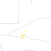


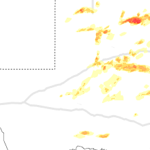


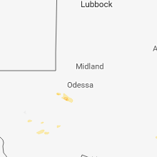


Connect with Interactive Hail Maps