

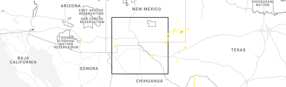
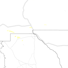
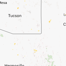
Hail Map for Hachita, NM
The Hachita, NM area has had 2 reports of on-the-ground hail by trained spotters, and has been under severe weather warnings 1 time during the past 12 months. Doppler radar has detected hail at or near Hachita, NM on 11 occasions, including 2 occasions during the past year.
| Name: | Hachita, NM |
| Where Located: | 58.8 miles S of Silver City, NM |
| Map: | Google Map for Hachita, NM |
| Population: | 49 |
| Housing Units: | 56 |
| More Info: | Search Google for Hachita, NM |
0
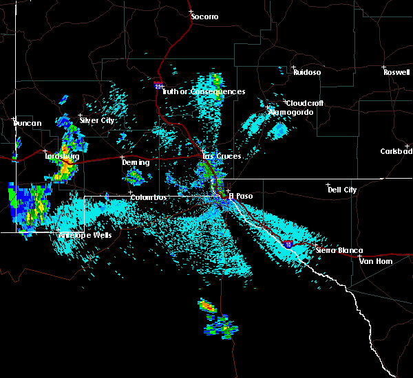
The Top Recent Hail Date for Hachita, NM is Tuesday, October 24, 2023 (8th out of 11)
Hail and Wind Damage Spotted near Hachita, NM
| Date / Time | Report Details |
|---|---|
| 10/24/2023 9:22 AM MDT |
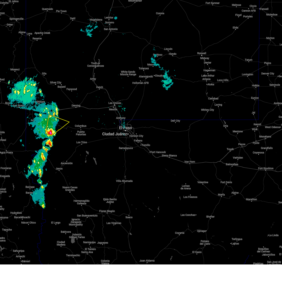 At 922 am mdt, a severe thunderstorm was located 12 miles south of hachita, moving northeast at 35 mph (radar indicated). Hazards include 60 mph wind gusts and quarter size hail. Hail damage to vehicles is expected. Expect wind damage to roofs, siding, and trees. At 922 am mdt, a severe thunderstorm was located 12 miles south of hachita, moving northeast at 35 mph (radar indicated). Hazards include 60 mph wind gusts and quarter size hail. Hail damage to vehicles is expected. Expect wind damage to roofs, siding, and trees.
|
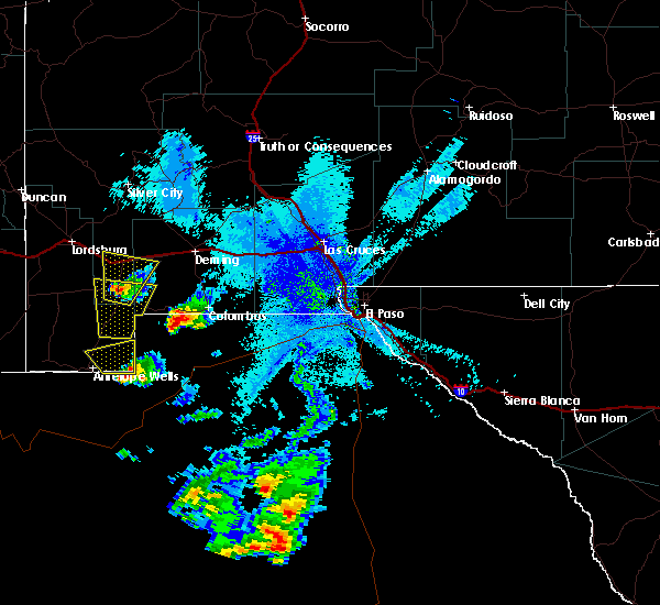
| 8/1/2020 2:11 AM MDT |
 The severe thunderstorm warning for south central grant, southwestern luna and east central hidalgo counties will expire at 215 am mdt, the storm which prompted the warning has weakened below severe limits, and no longer poses an immediate threat to life or property. therefore, the warning will be allowed to expire. however gusty winds to 50 mph are still possible with this thunderstorm along with areas of blowing dust. The severe thunderstorm warning for south central grant, southwestern luna and east central hidalgo counties will expire at 215 am mdt, the storm which prompted the warning has weakened below severe limits, and no longer poses an immediate threat to life or property. therefore, the warning will be allowed to expire. however gusty winds to 50 mph are still possible with this thunderstorm along with areas of blowing dust.
|
| 8/1/2020 1:45 AM MDT |
 At 144 am mdt, a severe thunderstorm was located near separ, moving south at 10 mph (radar indicated). Hazards include 60 mph wind gusts. Expect damage to roofs, siding, and trees. locations impacted include, hachita, playas, separ, hachita valley, playas valley and big hatchet refuge. This includes interstate 10 in new mexico between mile markers 36 and 51. At 144 am mdt, a severe thunderstorm was located near separ, moving south at 10 mph (radar indicated). Hazards include 60 mph wind gusts. Expect damage to roofs, siding, and trees. locations impacted include, hachita, playas, separ, hachita valley, playas valley and big hatchet refuge. This includes interstate 10 in new mexico between mile markers 36 and 51.
|
| 8/1/2020 1:18 AM MDT |
 At 116 am mdt, a severe thunderstorm was located over separ, moving south at 20 mph (radar indicated). Hazards include 60 mph wind gusts. expect damage to roofs, siding, and trees At 116 am mdt, a severe thunderstorm was located over separ, moving south at 20 mph (radar indicated). Hazards include 60 mph wind gusts. expect damage to roofs, siding, and trees
|
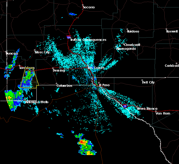
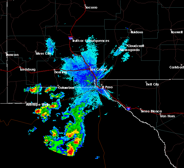
| 9/28/2017 8:54 PM MDT | Golf Ball sized hail reported 2.9 miles S of Hachita, NM, storm chaser reports golf ball size hail north of hachita via twitter. |
| 9/28/2017 8:54 PM MDT |
 At 854 pm mdt, a severe thunderstorm was located near hachita, or 28 miles east of animas, moving north at 25 mph (radar indicated). Hazards include 60 mph wind gusts and half dollar size hail. Hail damage to vehicles is expected. Expect wind damage to roofs, siding, and trees. At 854 pm mdt, a severe thunderstorm was located near hachita, or 28 miles east of animas, moving north at 25 mph (radar indicated). Hazards include 60 mph wind gusts and half dollar size hail. Hail damage to vehicles is expected. Expect wind damage to roofs, siding, and trees.
|
| 9/28/2017 8:45 PM MDT | Golf Ball sized hail reported 0.2 miles SW of Hachita, NM, co-op observer in hachita reports golf ball size hail and multiple broken windows at 845 pm mdt. |
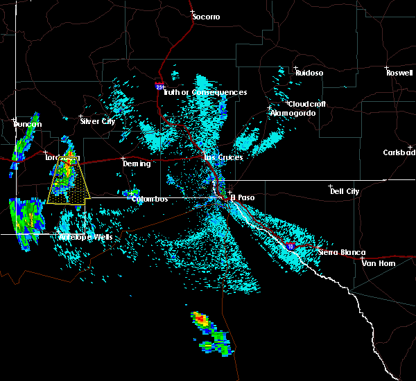
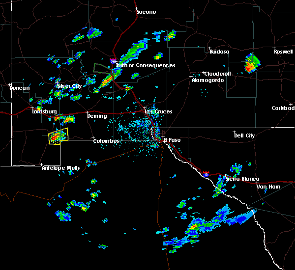
| 9/28/2017 8:10 PM MDT |
 At 810 pm mdt, a severe thunderstorm was located 10 miles south of hachita, or 30 miles southeast of animas, moving north at 35 mph (radar indicated). Hazards include 60 mph wind gusts and quarter size hail. Hail damage to vehicles is expected. Expect wind damage to roofs, siding, and trees. At 810 pm mdt, a severe thunderstorm was located 10 miles south of hachita, or 30 miles southeast of animas, moving north at 35 mph (radar indicated). Hazards include 60 mph wind gusts and quarter size hail. Hail damage to vehicles is expected. Expect wind damage to roofs, siding, and trees.
|
| 7/19/2017 6:18 PM MDT |
 At 614 pm mdt, severe thunderstorms were moving to the west across the area at 40 mph (radar indicated). Hazards include 60 mph wind gusts and quarter size hail. Hail damage to vehicles is expected. expect wind damage to roofs, siding, and trees. Blowing dust may lower the visibility to less than a mile. At 614 pm mdt, severe thunderstorms were moving to the west across the area at 40 mph (radar indicated). Hazards include 60 mph wind gusts and quarter size hail. Hail damage to vehicles is expected. expect wind damage to roofs, siding, and trees. Blowing dust may lower the visibility to less than a mile.
|
| 8/22/2016 4:33 PM MDT |
 At 433 pm mdt, a severe thunderstorm was located 6 miles south of hachita, moving east at 15 mph (radar indicated). Hazards include quarter size hail. damage to vehicles is expected At 433 pm mdt, a severe thunderstorm was located 6 miles south of hachita, moving east at 15 mph (radar indicated). Hazards include quarter size hail. damage to vehicles is expected
|
| 10/20/2015 12:45 PM MDT |
 At 1244 pm mdt, possible severe thunderstorms were moving into the area moving northeast at 40 mph (radar indicated). Hazards include 60 mph wind gusts and quarter size hail. Hail damage to vehicles is expected. Expect wind damage to roofs, siding and trees. At 1244 pm mdt, possible severe thunderstorms were moving into the area moving northeast at 40 mph (radar indicated). Hazards include 60 mph wind gusts and quarter size hail. Hail damage to vehicles is expected. Expect wind damage to roofs, siding and trees.
|
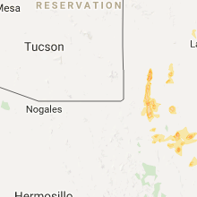
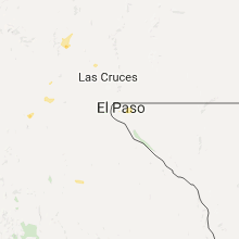
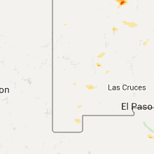
Hail Maps for Hachita, NM


Connect with Interactive Hail Maps