

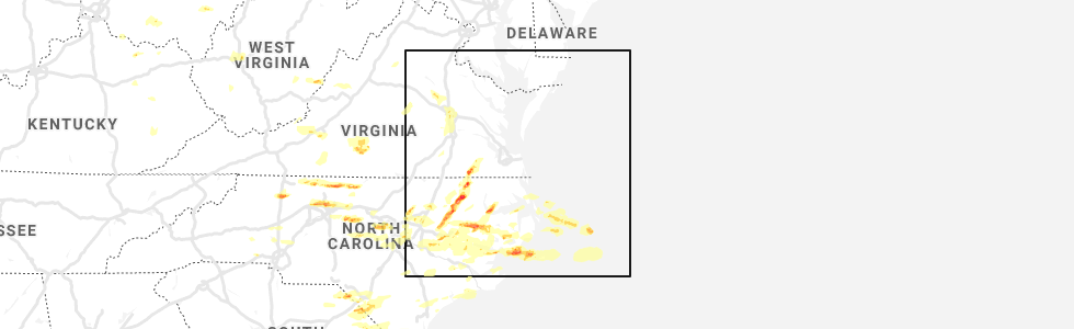
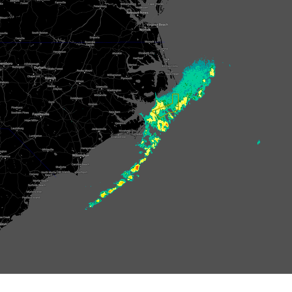
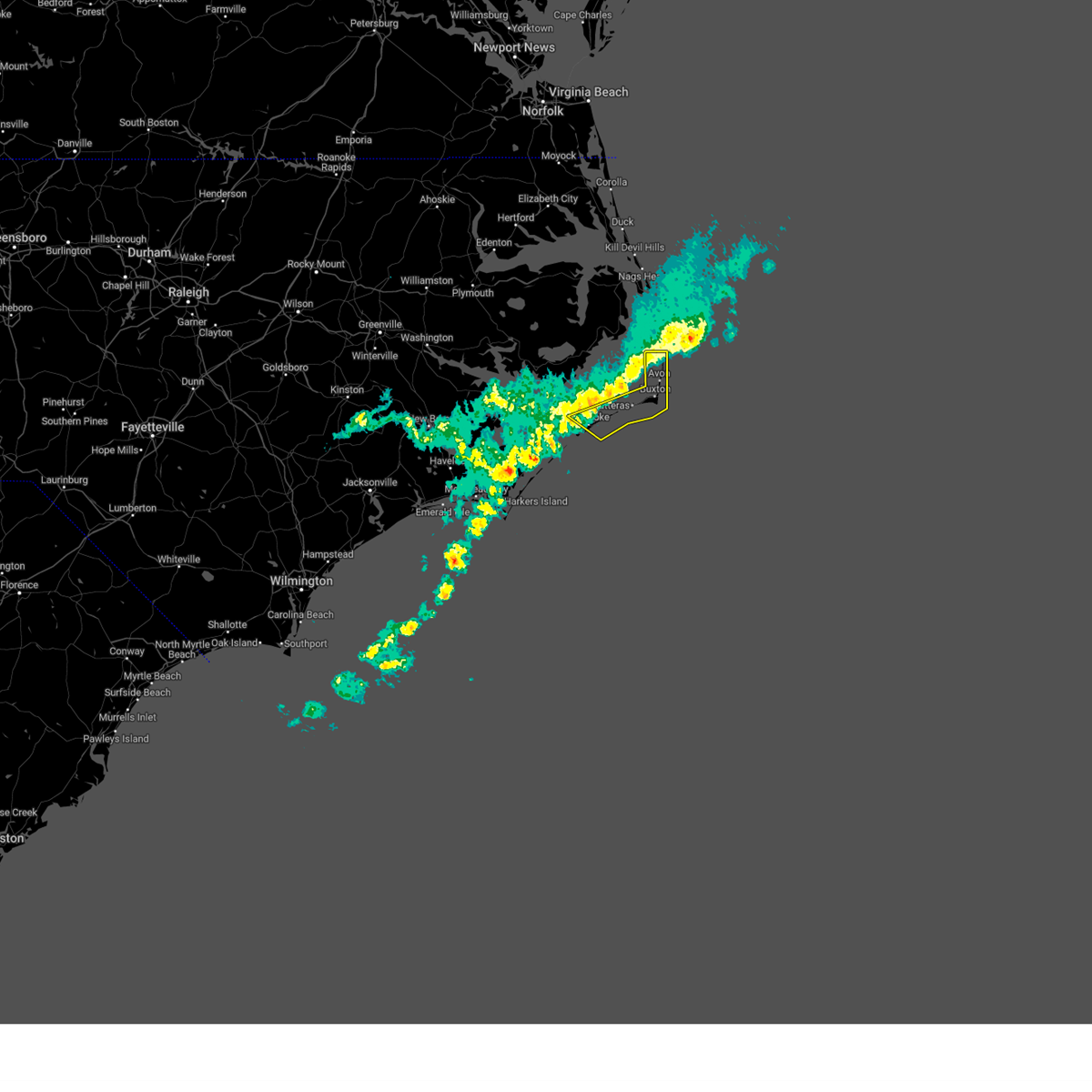
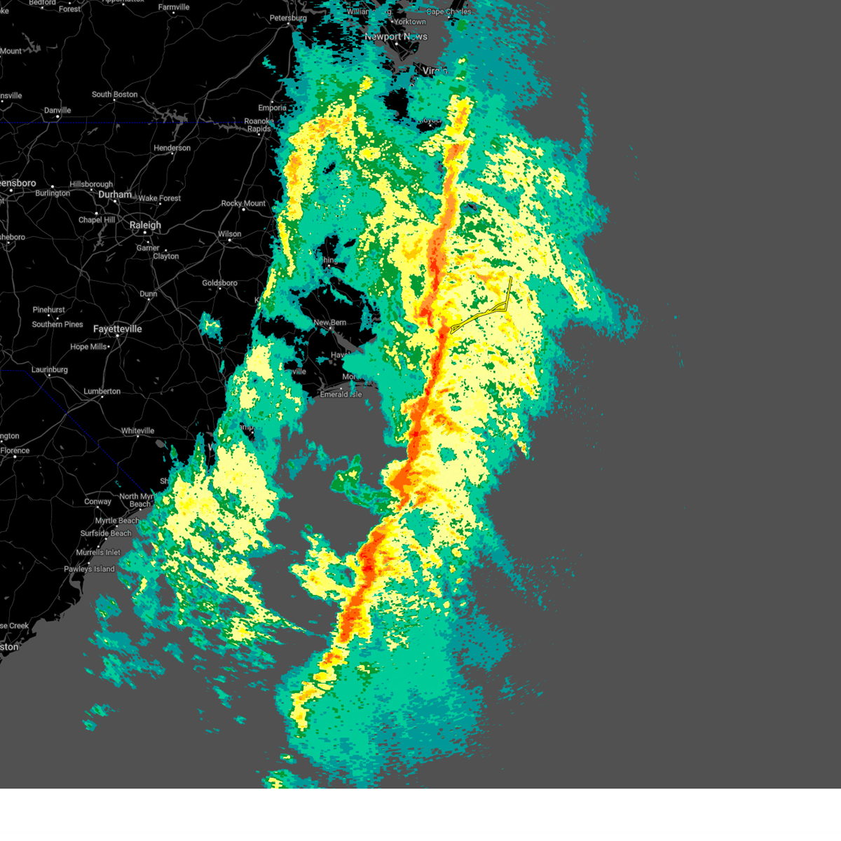
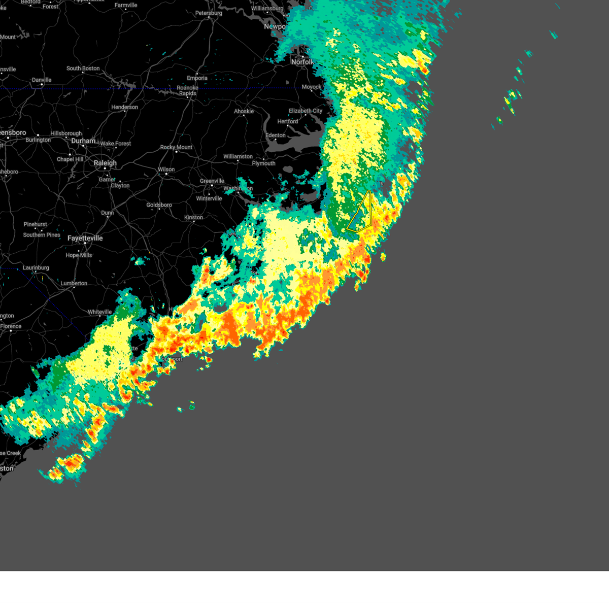
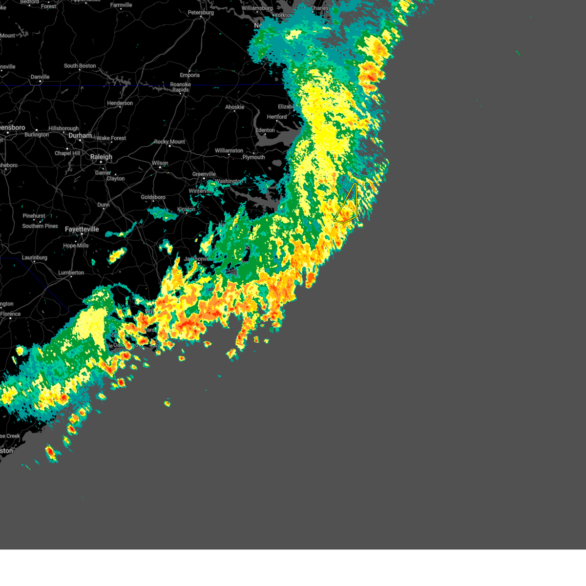
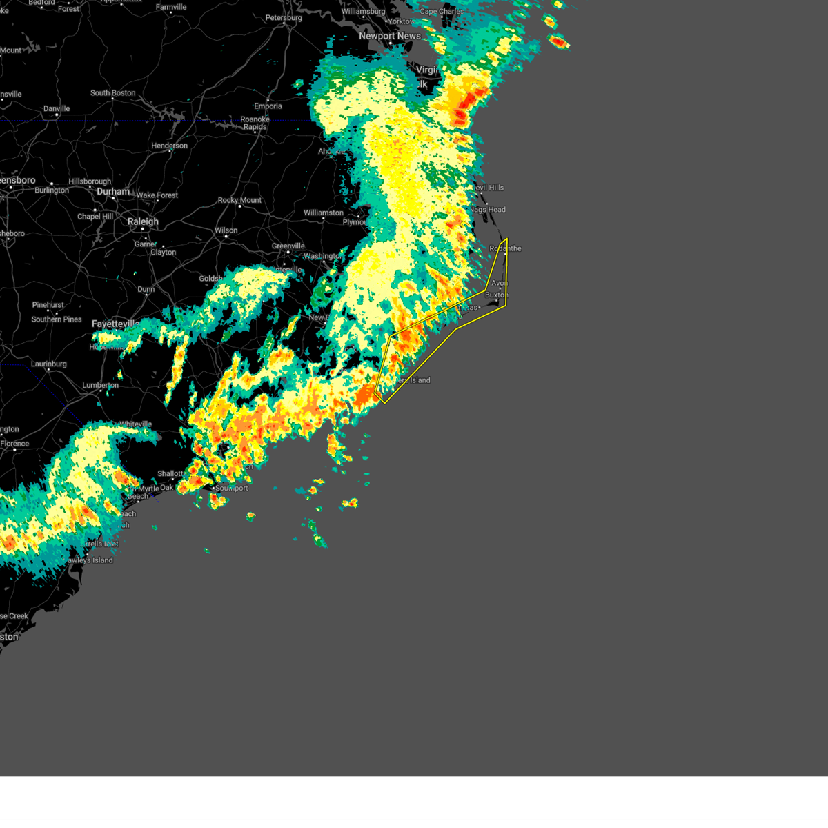
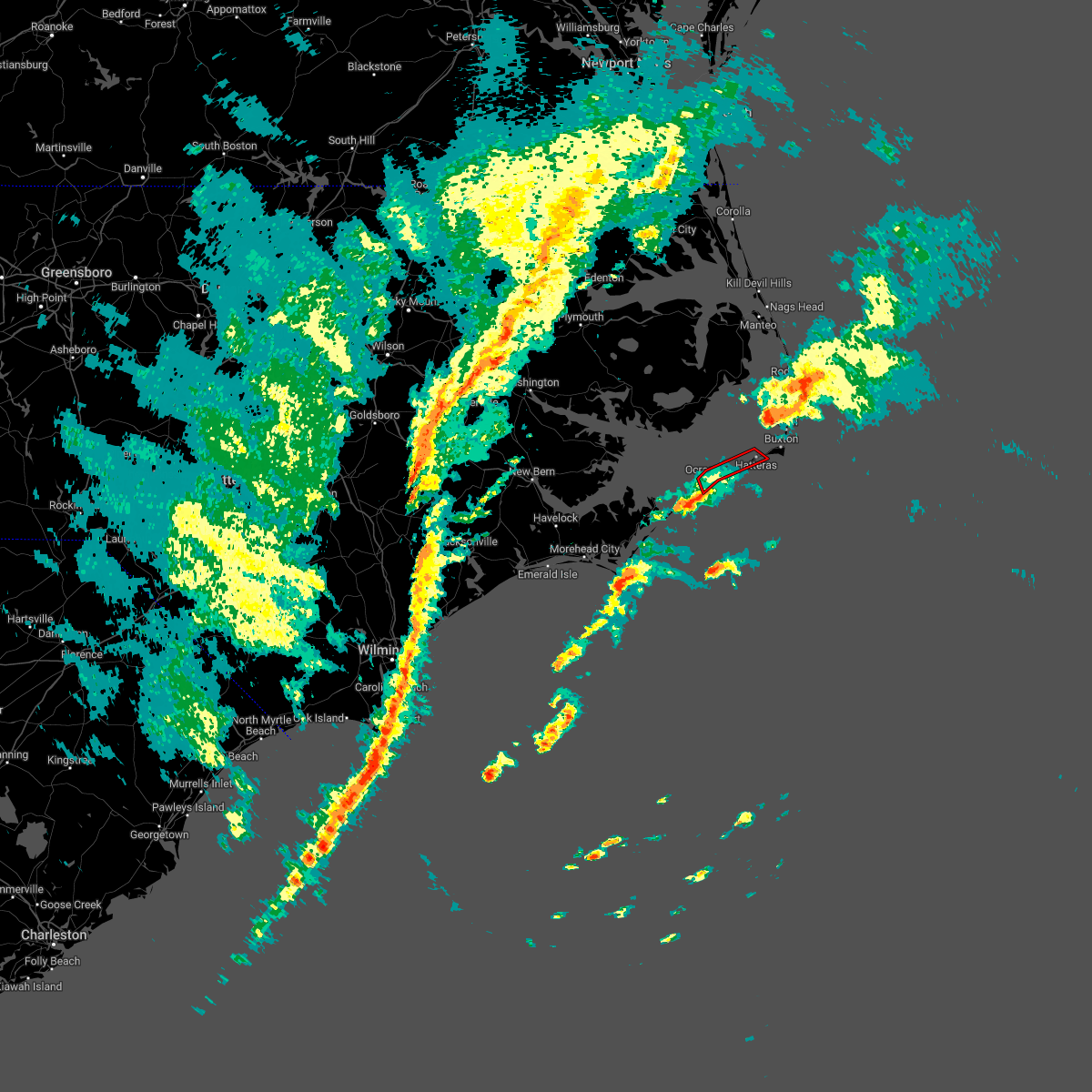
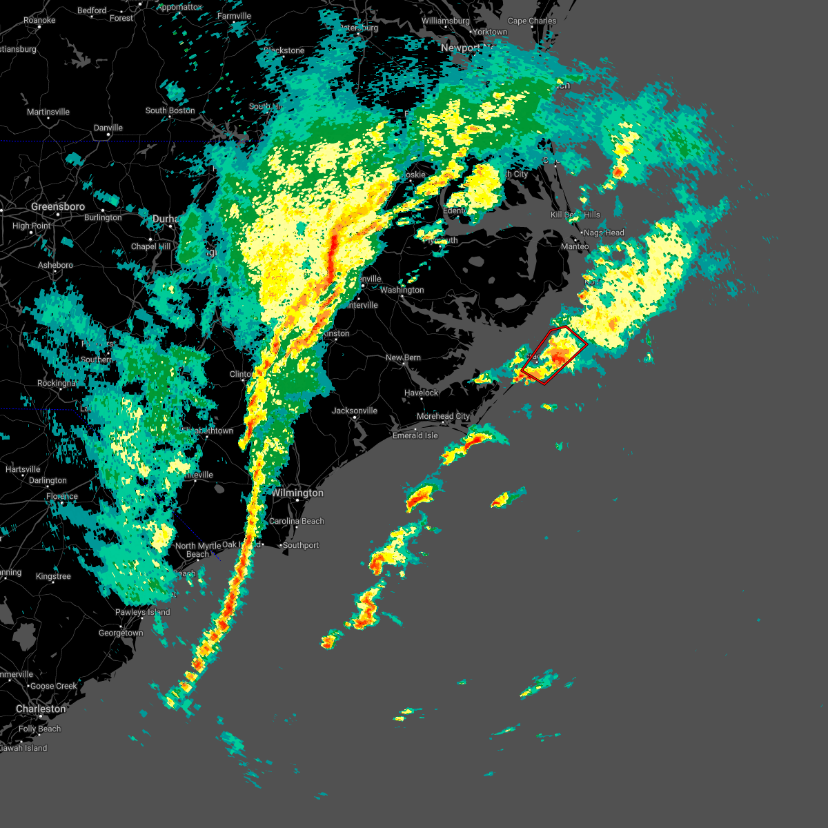
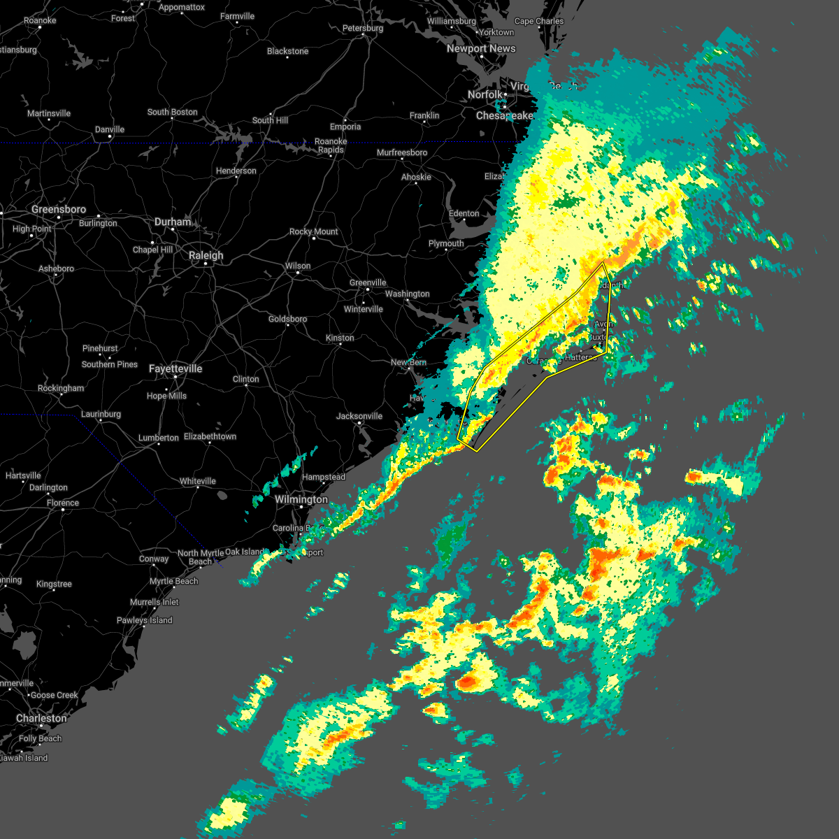
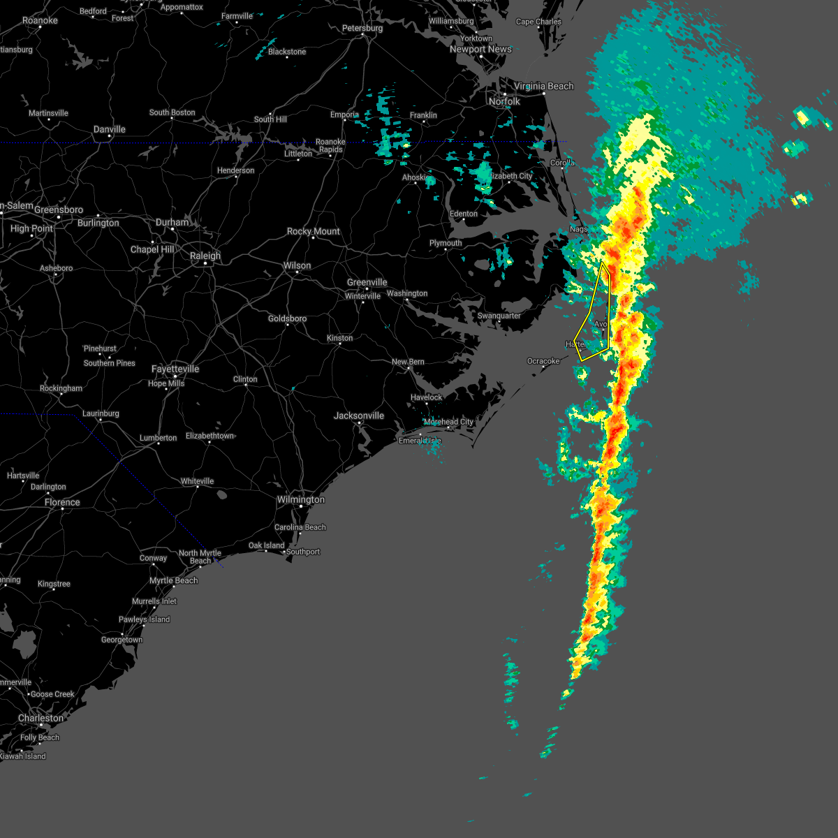
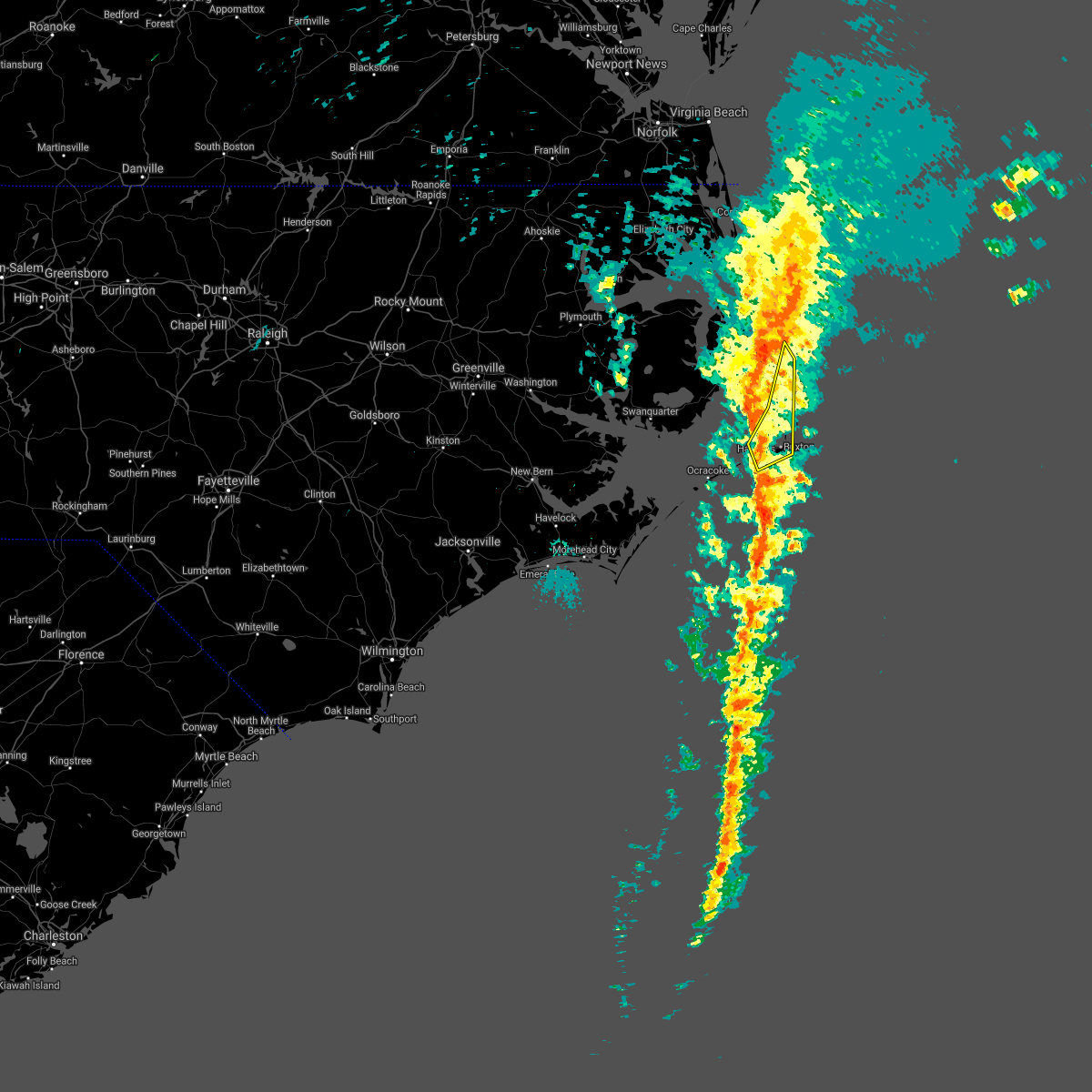
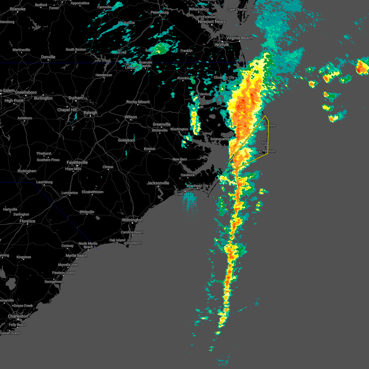
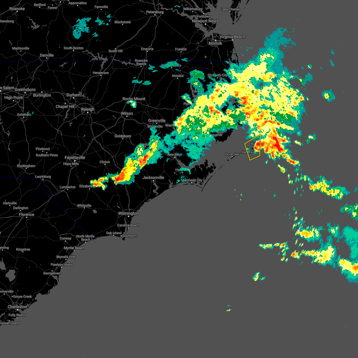
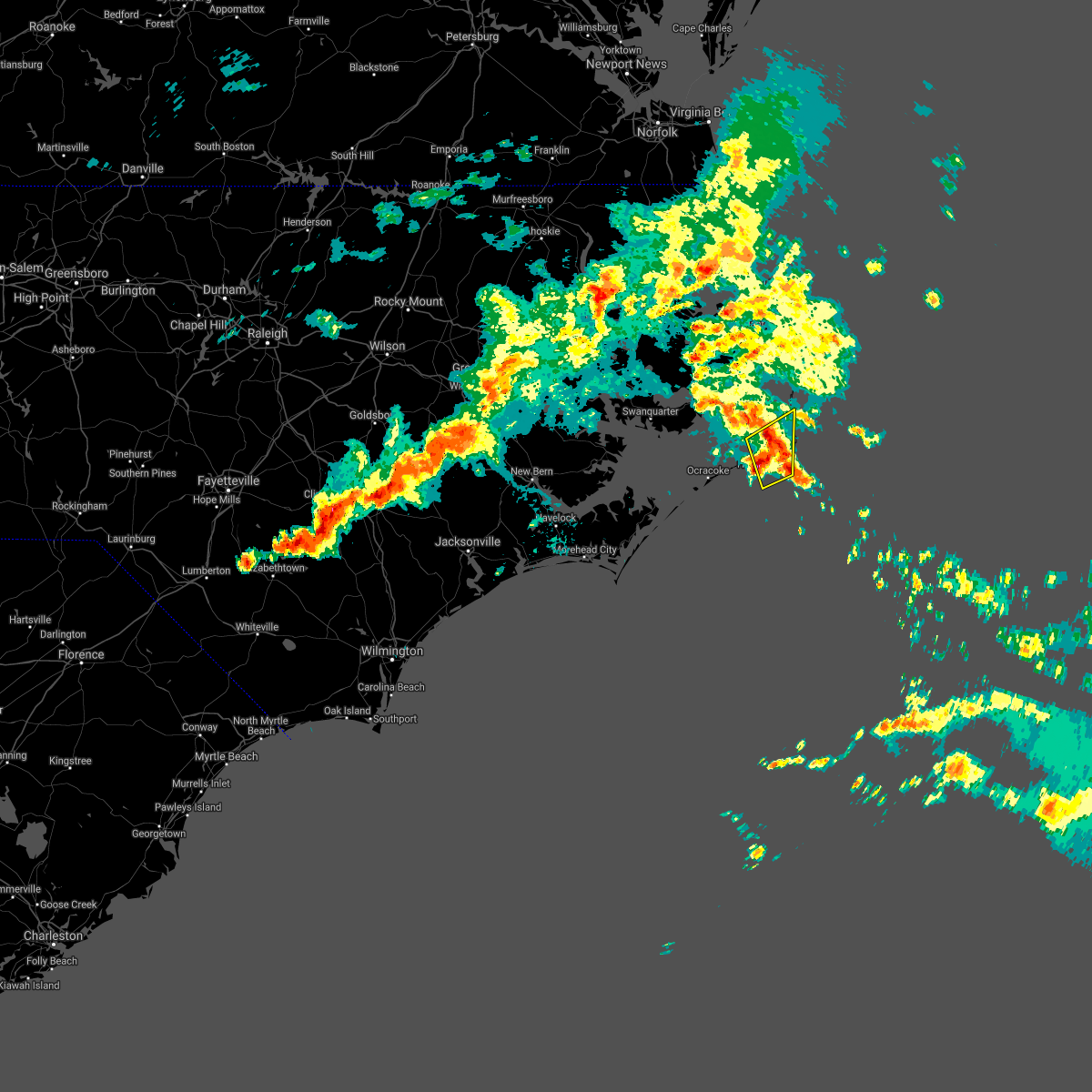
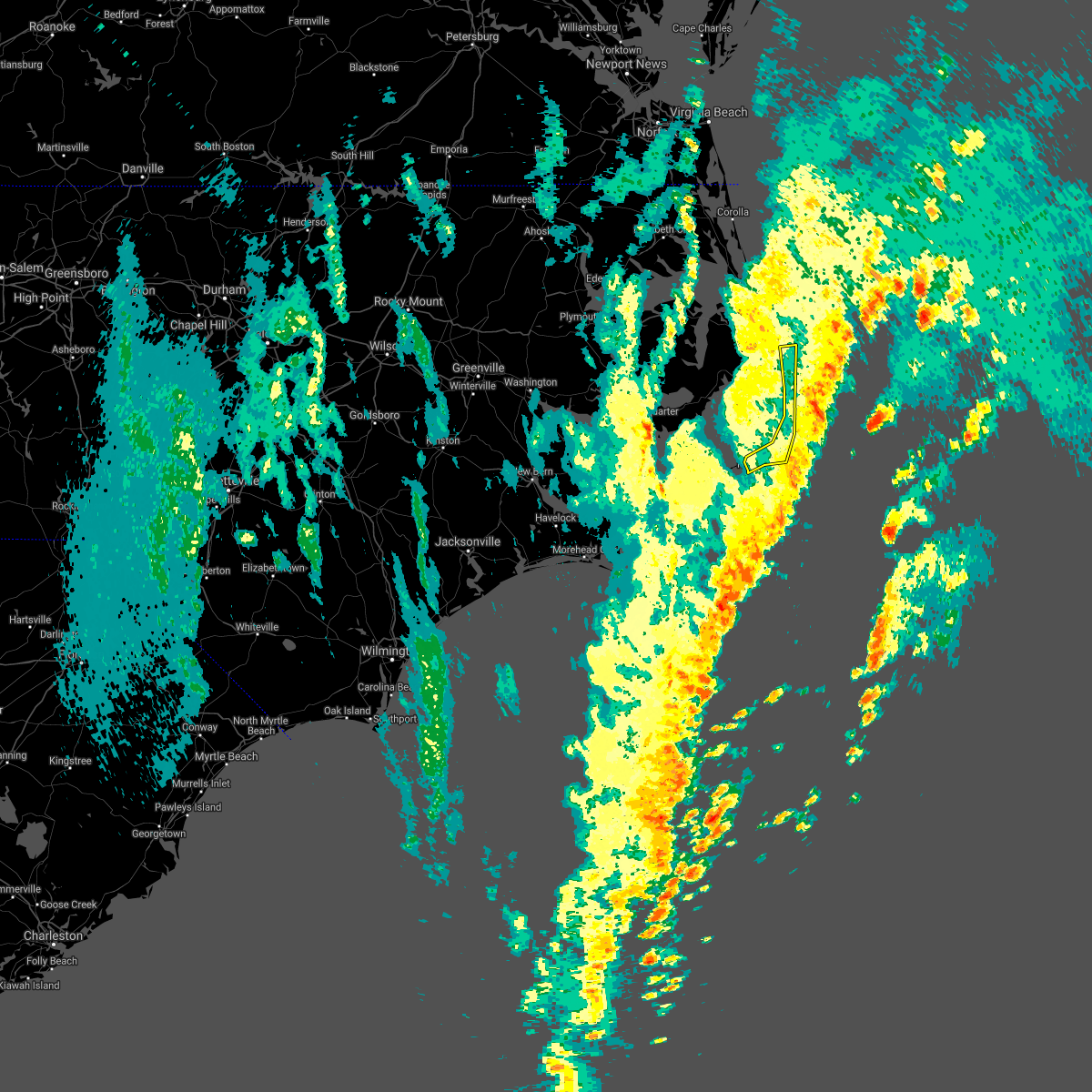
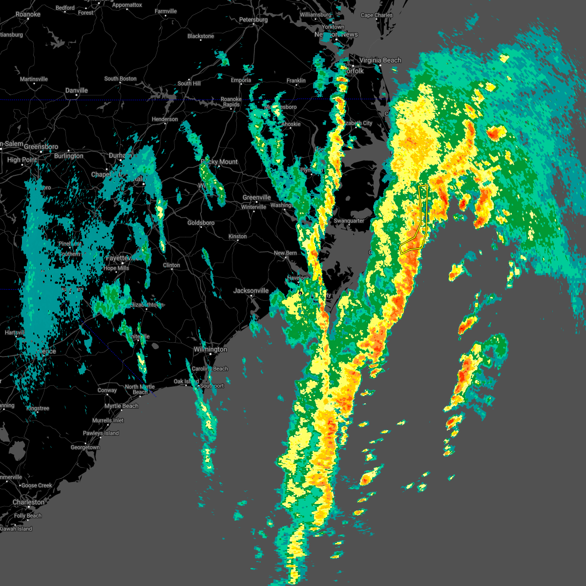
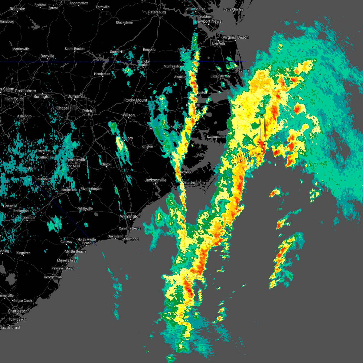
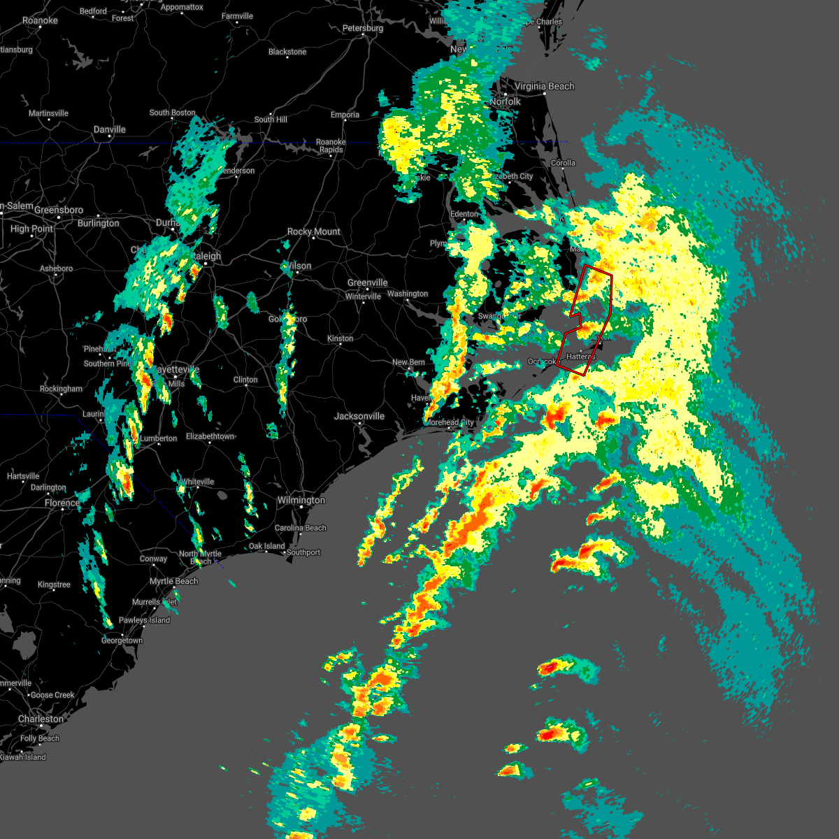
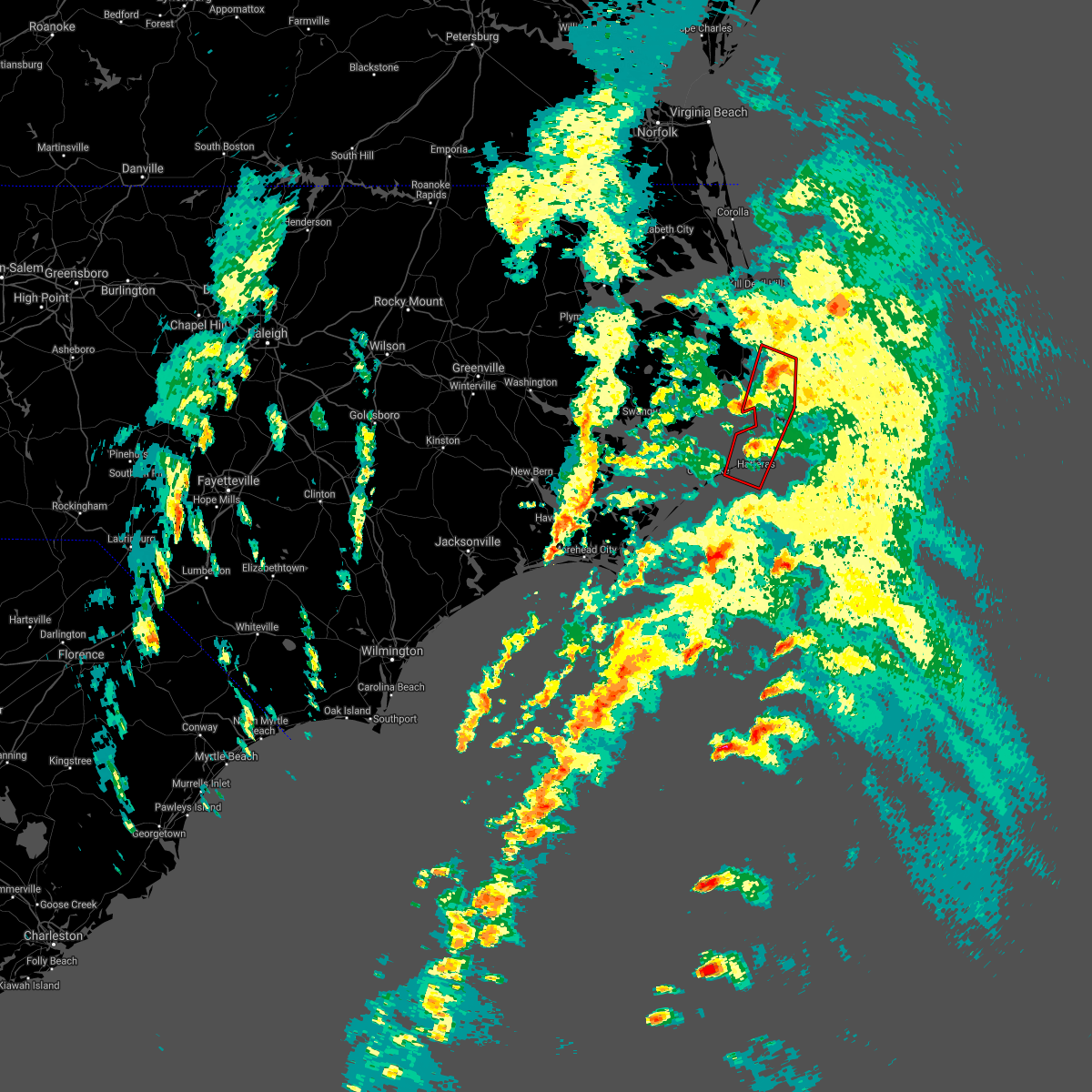
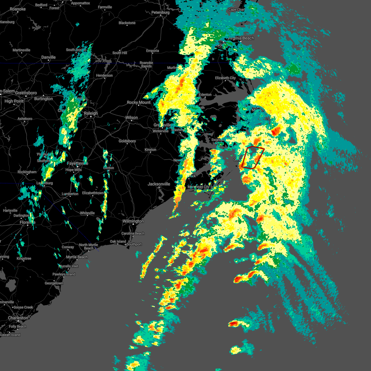
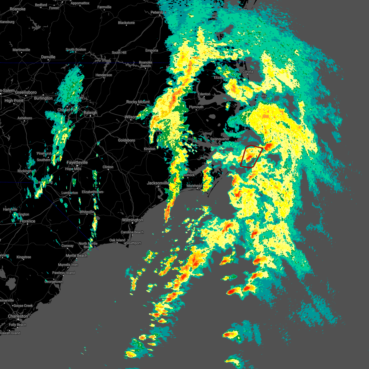
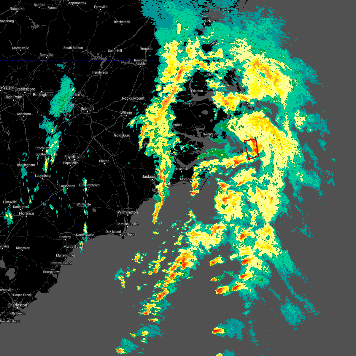
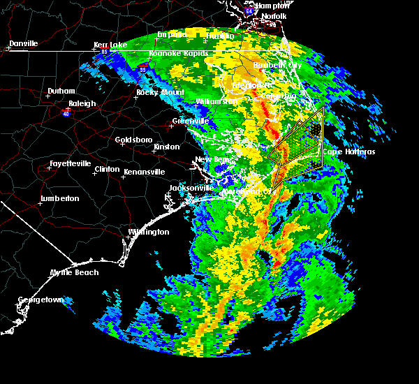
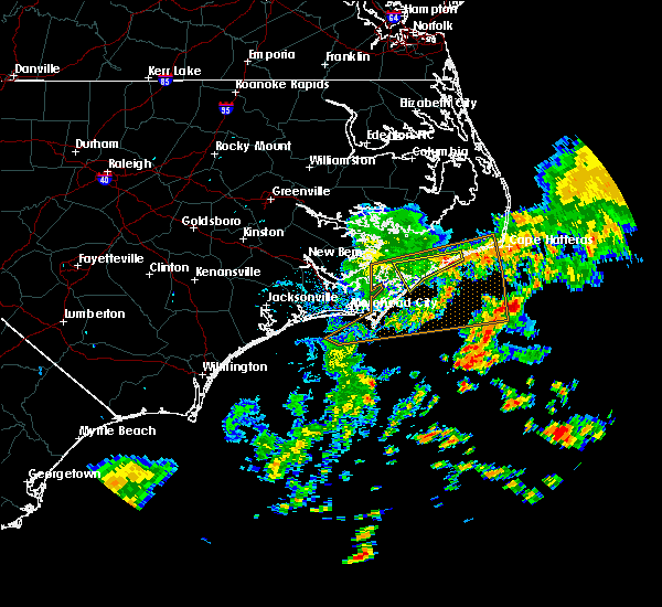
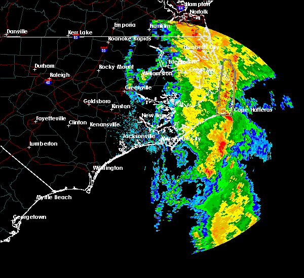
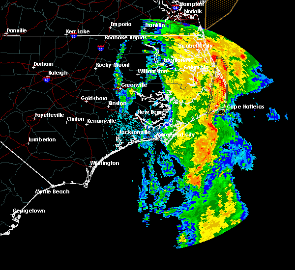
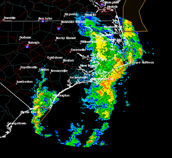
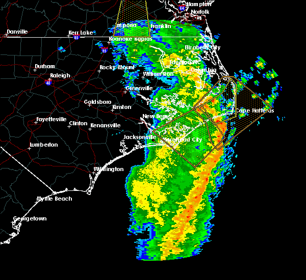
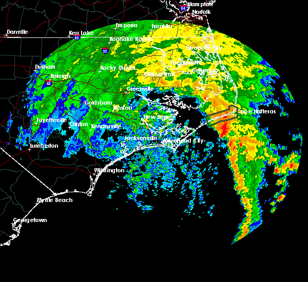
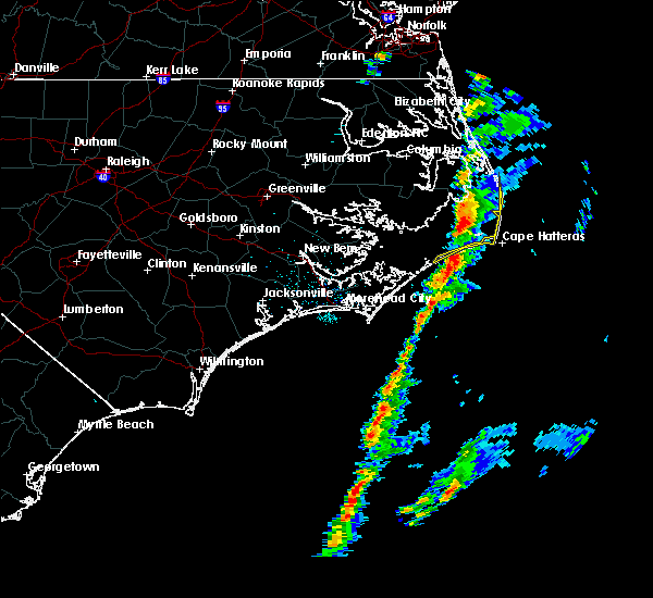
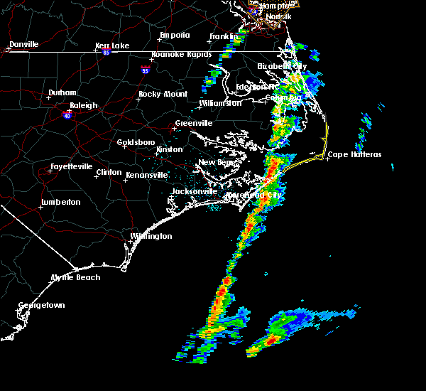
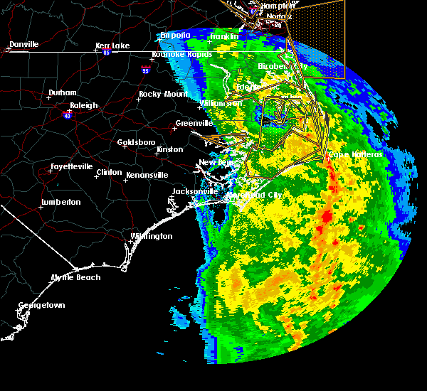
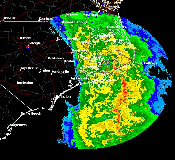
Hail Map for Hatteras, NC
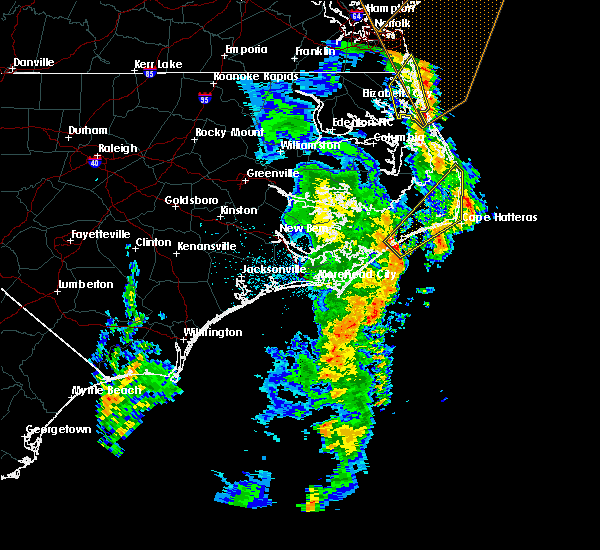
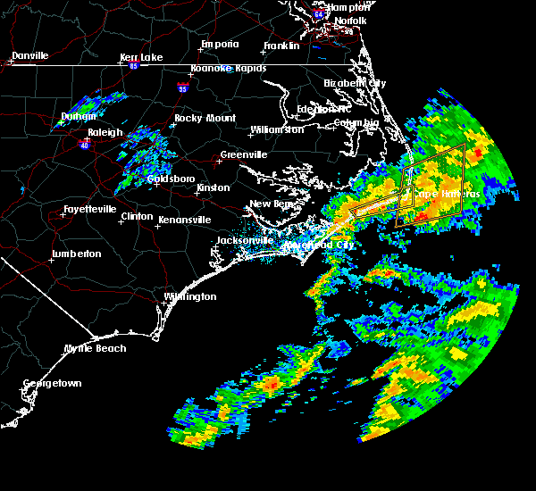
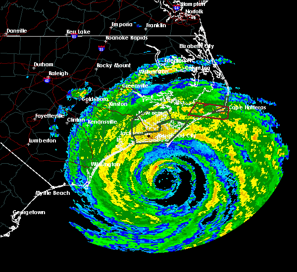
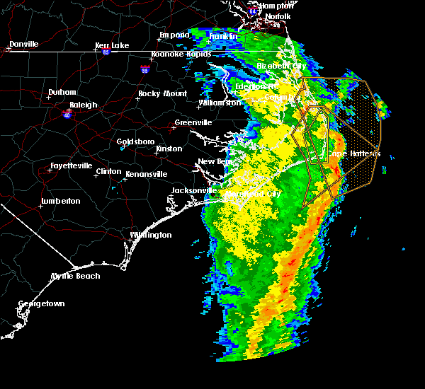
The Hatteras, NC area has had 0 reports of on-the-ground hail by trained spotters, and has been under severe weather warnings 6 times during the past 12 months. Doppler radar has detected hail at or near Hatteras, NC on 6 occasions.
| Name: | Hatteras, NC |
| Where Located: | 107.9 miles S of Virginia Beach, VA |
| Map: | Google Map for Hatteras, NC |
| Population: | 504 |
| Housing Units: | 876 |
| More Info: | Search Google for Hatteras, NC |
0
The Top Recent Hail Date for Hatteras, NC is Friday, May 31, 2019 (5th out of 6)
Hail and Wind Damage Spotted near Hatteras, NC
| Date / Time | Report Details |
|---|---|
| 4/12/2024 9:56 PM EDT |
 The storms which prompted the warning have weakened below severe limits, and no longer pose an immediate threat to life or property. therefore, the warning will be allowed to expire. The storms which prompted the warning have weakened below severe limits, and no longer pose an immediate threat to life or property. therefore, the warning will be allowed to expire.
|
| 4/12/2024 9:16 PM EDT |
 Svrmhx the national weather service in newport has issued a * severe thunderstorm warning for, southeastern hyde county in eastern north carolina, southeastern dare county in eastern north carolina, * until 1000 pm edt. * at 915 pm edt, severe thunderstorms were located along a line extending from 7 miles southwest of salvo to near hatteras ferry terminal to near ocracoke ferry terminal, moving east at 20 mph (weather observations. these storms have a history of producing severe wind gusts). Hazards include 60 mph wind gusts. expect damage to roofs, siding, and trees Svrmhx the national weather service in newport has issued a * severe thunderstorm warning for, southeastern hyde county in eastern north carolina, southeastern dare county in eastern north carolina, * until 1000 pm edt. * at 915 pm edt, severe thunderstorms were located along a line extending from 7 miles southwest of salvo to near hatteras ferry terminal to near ocracoke ferry terminal, moving east at 20 mph (weather observations. these storms have a history of producing severe wind gusts). Hazards include 60 mph wind gusts. expect damage to roofs, siding, and trees
|
| 1/9/2024 9:38 PM EST |
 At 937 pm est, a severe thunderstorm was located over portsmouth village, or 14 miles east of cedar island, moving northeast at 85 mph (radar indicated). Hazards include 70 mph wind gusts. Expect considerable tree damage. Damage is likely to mobile homes, roofs, and outbuildings. At 937 pm est, a severe thunderstorm was located over portsmouth village, or 14 miles east of cedar island, moving northeast at 85 mph (radar indicated). Hazards include 70 mph wind gusts. Expect considerable tree damage. Damage is likely to mobile homes, roofs, and outbuildings.
|
| 6/27/2023 3:43 AM EDT |
 The severe thunderstorm warning for southeastern dare county will expire at 345 am edt, the storms which prompted the warning have moved out of the area. therefore, the warning will be allowed to expire. a severe thunderstorm watch remains in effect until 600 am edt for eastern north carolina. The severe thunderstorm warning for southeastern dare county will expire at 345 am edt, the storms which prompted the warning have moved out of the area. therefore, the warning will be allowed to expire. a severe thunderstorm watch remains in effect until 600 am edt for eastern north carolina.
|
| 6/27/2023 3:24 AM EDT |
 At 324 am edt, severe thunderstorms were located along a line extending from near avon to near frisco, moving east at 35 mph (radar indicated). Hazards include 60 mph wind gusts. Expect damage to roofs, siding, and trees. locations impacted include, frisco, avon, buxton, hatteras ferry terminal, avon pier and cape hatteras lighthouse. hail threat, radar indicated max hail size, <. 75 in wind threat, radar indicated max wind gust, 60 mph. At 324 am edt, severe thunderstorms were located along a line extending from near avon to near frisco, moving east at 35 mph (radar indicated). Hazards include 60 mph wind gusts. Expect damage to roofs, siding, and trees. locations impacted include, frisco, avon, buxton, hatteras ferry terminal, avon pier and cape hatteras lighthouse. hail threat, radar indicated max hail size, <. 75 in wind threat, radar indicated max wind gust, 60 mph.
|
| 6/27/2023 2:44 AM EDT |
 At 244 am edt, severe thunderstorms were located along a line extending from 9 miles southeast of gull rock to near atlantic, moving northeast at 55 mph (radar indicated). Hazards include 70 mph wind gusts. Expect considerable tree damage. Damage is likely to mobile homes, roofs, and outbuildings. At 244 am edt, severe thunderstorms were located along a line extending from 9 miles southeast of gull rock to near atlantic, moving northeast at 55 mph (radar indicated). Hazards include 70 mph wind gusts. Expect considerable tree damage. Damage is likely to mobile homes, roofs, and outbuildings.
|
| 1/25/2023 9:01 PM EST |
 At 901 pm est, a severe thunderstorm capable of producing a tornado was located near portsmouth village, or 17 miles east of cedar island, moving northeast at 50 mph (radar indicated rotation). Hazards include tornado. Flying debris will be dangerous to those caught without shelter. mobile homes will be damaged or destroyed. damage to roofs, windows, and vehicles will occur. Tree damage is likely. At 901 pm est, a severe thunderstorm capable of producing a tornado was located near portsmouth village, or 17 miles east of cedar island, moving northeast at 50 mph (radar indicated rotation). Hazards include tornado. Flying debris will be dangerous to those caught without shelter. mobile homes will be damaged or destroyed. damage to roofs, windows, and vehicles will occur. Tree damage is likely.
|
| 1/25/2023 8:13 PM EST |
 At 813 pm est, a severe thunderstorm capable of producing a tornado was located near ocracoke, moving northeast at 50 mph (radar indicated rotation). Hazards include tornado. Flying debris will be dangerous to those caught without shelter. mobile homes will be damaged or destroyed. damage to roofs, windows, and vehicles will occur. Tree damage is likely. At 813 pm est, a severe thunderstorm capable of producing a tornado was located near ocracoke, moving northeast at 50 mph (radar indicated rotation). Hazards include tornado. Flying debris will be dangerous to those caught without shelter. mobile homes will be damaged or destroyed. damage to roofs, windows, and vehicles will occur. Tree damage is likely.
|
| 1/4/2023 3:25 PM EST |
 At 325 pm est, severe thunderstorms were located along a line extending from near roper to near fort landing to 8 miles east of south river, moving east at 60 mph (radar indicated). Hazards include 60 mph wind gusts. Expect damage to roofs, siding, and trees. Locations impacted include, plymouth, stumpy point, cedar island, killkenny, manns harbor, gull rock, alligator, gum neck, kilkenny, fairfield, mashoes, manteo, new holland, columbia, east lake, woodley, nebraska, lake landing, middletown and newfoundland. At 325 pm est, severe thunderstorms were located along a line extending from near roper to near fort landing to 8 miles east of south river, moving east at 60 mph (radar indicated). Hazards include 60 mph wind gusts. Expect damage to roofs, siding, and trees. Locations impacted include, plymouth, stumpy point, cedar island, killkenny, manns harbor, gull rock, alligator, gum neck, kilkenny, fairfield, mashoes, manteo, new holland, columbia, east lake, woodley, nebraska, lake landing, middletown and newfoundland.
|
| 1/4/2023 3:09 PM EST |
 At 307 pm est, severe thunderstorms were located along a line extending from near hinson to near rose bay to near south river, moving east at 60 mph (radar indicated). Hazards include 60 mph wind gusts. expect damage to roofs, siding, and trees At 307 pm est, severe thunderstorms were located along a line extending from near hinson to near rose bay to near south river, moving east at 60 mph (radar indicated). Hazards include 60 mph wind gusts. expect damage to roofs, siding, and trees
|
| 3/12/2022 11:03 AM EST |
 At 1103 am est, severe thunderstorms were located along a line extending from 20 miles east of bodie island lighthouse to near broad creek, moving east at 50 mph (radar indicated). Hazards include 70 mph wind gusts. Expect considerable tree damage. damage is likely to mobile homes, roofs, and outbuildings. locations impacted include, cedar island, frisco, harkers island, buxton, salvo, sealevel, marshallberg, waves, davis, smyrna, avon, straits, atlantic, rodanthe, otway, williston, open grounds farm, stacy, bettie and portsmouth village. thunderstorm damage threat, considerable hail threat, radar indicated max hail size, <. 75 in wind threat, radar indicated max wind gust, 70 mph. At 1103 am est, severe thunderstorms were located along a line extending from 20 miles east of bodie island lighthouse to near broad creek, moving east at 50 mph (radar indicated). Hazards include 70 mph wind gusts. Expect considerable tree damage. damage is likely to mobile homes, roofs, and outbuildings. locations impacted include, cedar island, frisco, harkers island, buxton, salvo, sealevel, marshallberg, waves, davis, smyrna, avon, straits, atlantic, rodanthe, otway, williston, open grounds farm, stacy, bettie and portsmouth village. thunderstorm damage threat, considerable hail threat, radar indicated max hail size, <. 75 in wind threat, radar indicated max wind gust, 70 mph.
|
| 3/12/2022 10:40 AM EST |
 At 1039 am est, severe thunderstorms were located along a line extending from near bodie island lighthouse to near hammocks beach state park, moving east at 50 mph (radar indicated). Hazards include 70 mph wind gusts. Expect considerable tree damage. Damage is likely to mobile homes, roofs, and outbuildings. At 1039 am est, severe thunderstorms were located along a line extending from near bodie island lighthouse to near hammocks beach state park, moving east at 50 mph (radar indicated). Hazards include 70 mph wind gusts. Expect considerable tree damage. Damage is likely to mobile homes, roofs, and outbuildings.
|
| 3/12/2022 10:24 AM EST |
 At 1023 am est, severe thunderstorms were located along a line extending from near sladesville to near fairfield harbour to near verona, moving east at 20 mph (radar indicated). Hazards include 70 mph wind gusts. Expect considerable tree damage. damage is likely to mobile homes, roofs, and outbuildings. locations impacted include, jacksonville, new bern, havelock, morehead city, north topsail beach, newport, kill devil hills, stumpy point, cedar island, frisco, harkers island, camp lejeune center, piney green, stella, southern shores, swansboro, hubert, south river, cape carteret and north river. thunderstorm damage threat, considerable hail threat, radar indicated max hail size, <. 75 in wind threat, radar indicated max wind gust, 70 mph. At 1023 am est, severe thunderstorms were located along a line extending from near sladesville to near fairfield harbour to near verona, moving east at 20 mph (radar indicated). Hazards include 70 mph wind gusts. Expect considerable tree damage. damage is likely to mobile homes, roofs, and outbuildings. locations impacted include, jacksonville, new bern, havelock, morehead city, north topsail beach, newport, kill devil hills, stumpy point, cedar island, frisco, harkers island, camp lejeune center, piney green, stella, southern shores, swansboro, hubert, south river, cape carteret and north river. thunderstorm damage threat, considerable hail threat, radar indicated max hail size, <. 75 in wind threat, radar indicated max wind gust, 70 mph.
|
| 3/12/2022 9:40 AM EST |
 At 939 am est, severe thunderstorms were located along a line extending from sidney crossroads to near rhems to near cypress creek, moving east at 20 mph (radar indicated). Hazards include 70 mph wind gusts. Expect considerable tree damage. Damage is likely to mobile homes, roofs, and outbuildings. At 939 am est, severe thunderstorms were located along a line extending from sidney crossroads to near rhems to near cypress creek, moving east at 20 mph (radar indicated). Hazards include 70 mph wind gusts. Expect considerable tree damage. Damage is likely to mobile homes, roofs, and outbuildings.
|
| 1/3/2022 10:26 AM EST |
 The severe thunderstorm warning for southeastern dare county will expire at 1030 am est, the storm which prompted the warning has moved out of the area. therefore, the warning will be allowed to expire. The severe thunderstorm warning for southeastern dare county will expire at 1030 am est, the storm which prompted the warning has moved out of the area. therefore, the warning will be allowed to expire.
|
| 1/3/2022 10:06 AM EST |
 At 1005 am est, a severe thunderstorm was located over frisco, moving northeast at 70 mph (doppler radar). Hazards include 60 mph wind gusts. Expect damage to roofs, siding, and trees. locations impacted include, frisco, buxton, salvo, avon, waves, rodanthe, hatteras ferry terminal, avon pier and cape hatteras lighthouse. hail threat, radar indicated max hail size, <. 75 in wind threat, radar indicated max wind gust, 60 mph. At 1005 am est, a severe thunderstorm was located over frisco, moving northeast at 70 mph (doppler radar). Hazards include 60 mph wind gusts. Expect damage to roofs, siding, and trees. locations impacted include, frisco, buxton, salvo, avon, waves, rodanthe, hatteras ferry terminal, avon pier and cape hatteras lighthouse. hail threat, radar indicated max hail size, <. 75 in wind threat, radar indicated max wind gust, 60 mph.
|
| 1/3/2022 9:45 AM EST |
 At 944 am est, a severe thunderstorm was located over portsmouth village, or 17 miles east of cedar island, moving northeast at 60 mph (radar indicated). Hazards include 60 mph wind gusts. expect damage to roofs, siding, and trees At 944 am est, a severe thunderstorm was located over portsmouth village, or 17 miles east of cedar island, moving northeast at 60 mph (radar indicated). Hazards include 60 mph wind gusts. expect damage to roofs, siding, and trees
|
| 3/27/2021 8:27 PM EDT |
 The severe thunderstorm warning for southeastern dare county will expire at 830 pm edt, the storm which prompted the warning has weakened below severe limits, and no longer poses an immediate threat to life or property. therefore, the warning will be allowed to expire. however gusty winds and heavy rain are still possible with this thunderstorm. to report severe weather, contact your nearest law enforcement agency. they will relay your report to the national weather service newport. The severe thunderstorm warning for southeastern dare county will expire at 830 pm edt, the storm which prompted the warning has weakened below severe limits, and no longer poses an immediate threat to life or property. therefore, the warning will be allowed to expire. however gusty winds and heavy rain are still possible with this thunderstorm. to report severe weather, contact your nearest law enforcement agency. they will relay your report to the national weather service newport.
|
| 3/27/2021 8:02 PM EDT |
 At 802 pm edt, a severe thunderstorm was located near frisco, moving east at 60 mph (radar indicated). Hazards include 60 mph wind gusts and quarter size hail. Hail damage to vehicles is expected. Expect wind damage to roofs, siding, and trees. At 802 pm edt, a severe thunderstorm was located near frisco, moving east at 60 mph (radar indicated). Hazards include 60 mph wind gusts and quarter size hail. Hail damage to vehicles is expected. Expect wind damage to roofs, siding, and trees.
|
| 12/25/2020 12:28 AM EST |
 The severe thunderstorm warning for southeastern dare county will expire at 1230 am est, the storms which prompted the warning have weakened below severe limits, and have exited the warned area. therefore, the warning will be allowed to expire. however gusty winds are still possible with these thunderstorms. The severe thunderstorm warning for southeastern dare county will expire at 1230 am est, the storms which prompted the warning have weakened below severe limits, and have exited the warned area. therefore, the warning will be allowed to expire. however gusty winds are still possible with these thunderstorms.
|
| 12/24/2020 11:59 PM EST |
 At 1158 pm est, severe thunderstorms were located along a line extending from 15 miles east of salvo to 9 miles southeast of stumpy point, moving east at 70 mph (radar indicated). Hazards include 70 mph wind gusts. Expect considerable tree damage. damage is likely to mobile homes, roofs, and outbuildings. Locations impacted include, frisco, buxton, salvo, avon, waves, rodanthe, hatteras island fishing pier, hatteras ferry terminal, avon pier and cape hatteras lighthouse. At 1158 pm est, severe thunderstorms were located along a line extending from 15 miles east of salvo to 9 miles southeast of stumpy point, moving east at 70 mph (radar indicated). Hazards include 70 mph wind gusts. Expect considerable tree damage. damage is likely to mobile homes, roofs, and outbuildings. Locations impacted include, frisco, buxton, salvo, avon, waves, rodanthe, hatteras island fishing pier, hatteras ferry terminal, avon pier and cape hatteras lighthouse.
|
| 12/24/2020 11:32 PM EST |
 At 1131 pm est, severe thunderstorms were located along a line extending from 13 miles south of cape hatteras lighthouse to ocracoke ferry terminal, moving northeast at 70 mph (radar indicated). Hazards include 70 mph wind gusts. Expect considerable tree damage. Damage is likely to mobile homes, roofs, and outbuildings. At 1131 pm est, severe thunderstorms were located along a line extending from 13 miles south of cape hatteras lighthouse to ocracoke ferry terminal, moving northeast at 70 mph (radar indicated). Hazards include 70 mph wind gusts. Expect considerable tree damage. Damage is likely to mobile homes, roofs, and outbuildings.
|
| 12/24/2020 8:28 PM EST |
 The tornado warning for southeastern hyde and southeastern dare counties will expire at 830 pm est, the storm which prompted the warning has weakened below severe limits, and has exited the warned area. therefore, the warning will be allowed to expire. however gusty winds are still possible with this thunderstorm. The tornado warning for southeastern hyde and southeastern dare counties will expire at 830 pm est, the storm which prompted the warning has weakened below severe limits, and has exited the warned area. therefore, the warning will be allowed to expire. however gusty winds are still possible with this thunderstorm.
|
| 12/24/2020 8:17 PM EST |
 At 816 pm est, a severe thunderstorm capable of producing a tornado was located over hatteras ferry terminal, or near frisco, moving northeast at 65 mph (radar indicated rotation). Hazards include tornado. Flying debris will be dangerous to those caught without shelter. mobile homes will be damaged or destroyed. damage to roofs, windows, and vehicles will occur. Tree damage is likely. At 816 pm est, a severe thunderstorm capable of producing a tornado was located over hatteras ferry terminal, or near frisco, moving northeast at 65 mph (radar indicated rotation). Hazards include tornado. Flying debris will be dangerous to those caught without shelter. mobile homes will be damaged or destroyed. damage to roofs, windows, and vehicles will occur. Tree damage is likely.
|
| 12/24/2020 7:49 PM EST |
 At 748 pm est, a severe thunderstorm capable of producing a tornado was located near hatteras ferry terminal, or 9 miles southwest of frisco, moving north at 70 mph (radar indicated rotation). Hazards include tornado. Flying debris will be dangerous to those caught without shelter. mobile homes will be damaged or destroyed. damage to roofs, windows, and vehicles will occur. tree damage is likely. Locations impacted include, frisco and hatteras ferry terminal. At 748 pm est, a severe thunderstorm capable of producing a tornado was located near hatteras ferry terminal, or 9 miles southwest of frisco, moving north at 70 mph (radar indicated rotation). Hazards include tornado. Flying debris will be dangerous to those caught without shelter. mobile homes will be damaged or destroyed. damage to roofs, windows, and vehicles will occur. tree damage is likely. Locations impacted include, frisco and hatteras ferry terminal.
|
| 12/24/2020 7:32 PM EST |
 At 731 pm est, a severe thunderstorm capable of producing a tornado was located 8 miles southwest of hatteras ferry terminal, or 13 miles southwest of frisco, moving northeast at 70 mph (radar indicated rotation). Hazards include tornado. Flying debris will be dangerous to those caught without shelter. mobile homes will be damaged or destroyed. damage to roofs, windows, and vehicles will occur. Tree damage is likely. At 731 pm est, a severe thunderstorm capable of producing a tornado was located 8 miles southwest of hatteras ferry terminal, or 13 miles southwest of frisco, moving northeast at 70 mph (radar indicated rotation). Hazards include tornado. Flying debris will be dangerous to those caught without shelter. mobile homes will be damaged or destroyed. damage to roofs, windows, and vehicles will occur. Tree damage is likely.
|
| 12/24/2020 7:23 PM EST |
 At 723 pm est, a severe thunderstorm capable of producing a tornado was located near cape hatteras lighthouse, or 7 miles southeast of frisco, moving north at 30 mph (radar indicated rotation). Hazards include tornado. Flying debris will be dangerous to those caught without shelter. mobile homes will be damaged or destroyed. damage to roofs, windows, and vehicles will occur. Tree damage is likely. At 723 pm est, a severe thunderstorm capable of producing a tornado was located near cape hatteras lighthouse, or 7 miles southeast of frisco, moving north at 30 mph (radar indicated rotation). Hazards include tornado. Flying debris will be dangerous to those caught without shelter. mobile homes will be damaged or destroyed. damage to roofs, windows, and vehicles will occur. Tree damage is likely.
|
| 4/30/2020 3:42 PM EDT |
 At 341 pm edt, severe thunderstorms were located along a line extending from near bodie island lighthouse to 8 miles southwest of salvo to hatteras ferry terminal, moving northeast at 50 mph (radar indicated). Hazards include 60 mph wind gusts. Expect damage to roofs, siding, and trees. Locations impacted include, frisco, buxton, salvo, avon, waves, rodanthe, hatteras island fishing pier, hatteras ferry terminal, avon pier and cape hatteras lighthouse. At 341 pm edt, severe thunderstorms were located along a line extending from near bodie island lighthouse to 8 miles southwest of salvo to hatteras ferry terminal, moving northeast at 50 mph (radar indicated). Hazards include 60 mph wind gusts. Expect damage to roofs, siding, and trees. Locations impacted include, frisco, buxton, salvo, avon, waves, rodanthe, hatteras island fishing pier, hatteras ferry terminal, avon pier and cape hatteras lighthouse.
|
| 4/30/2020 2:59 PM EDT |
 The national weather service in newport has issued a * severe thunderstorm warning for. southeastern hyde county in eastern north carolina. southeastern dare county in eastern north carolina. until 400 pm edt. At 258 pm edt, severe thunderstorms were located along a line. The national weather service in newport has issued a * severe thunderstorm warning for. southeastern hyde county in eastern north carolina. southeastern dare county in eastern north carolina. until 400 pm edt. At 258 pm edt, severe thunderstorms were located along a line.
|
| 4/18/2020 1:31 PM EDT | Measured at hatteras landing nos statio in dare county NC, 1.1 miles NE of Hatteras, NC |
| 4/18/2020 1:25 PM EDT |
 The severe thunderstorm warning for southeastern hyde and southeastern dare counties will expire at 130 pm edt, the storm which prompted the warning has moved out of the area. therefore, the warning will be allowed to expire. The severe thunderstorm warning for southeastern hyde and southeastern dare counties will expire at 130 pm edt, the storm which prompted the warning has moved out of the area. therefore, the warning will be allowed to expire.
|
| 4/18/2020 1:06 PM EDT | Corrects time of previous tstm wnd gst report from hatteras ferry terminal. measured at hatteras landing nos statio in dare county NC, 1.1 miles NE of Hatteras, NC |
| 4/18/2020 12:43 PM EDT |
 At 1243 pm edt, a severe thunderstorm was located 10 miles southeast of gull rock, or 20 miles west of frisco, moving east at 60 mph (radar indicated). Hazards include 70 mph wind gusts and penny size hail. Expect considerable tree damage. Damage is likely to mobile homes, roofs, and outbuildings. At 1243 pm edt, a severe thunderstorm was located 10 miles southeast of gull rock, or 20 miles west of frisco, moving east at 60 mph (radar indicated). Hazards include 70 mph wind gusts and penny size hail. Expect considerable tree damage. Damage is likely to mobile homes, roofs, and outbuildings.
|
| 4/13/2020 11:52 AM EDT |
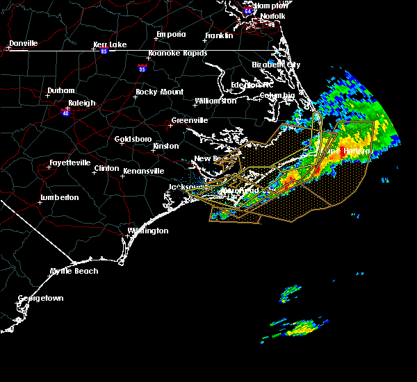
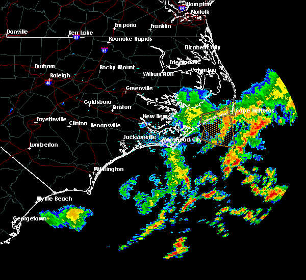
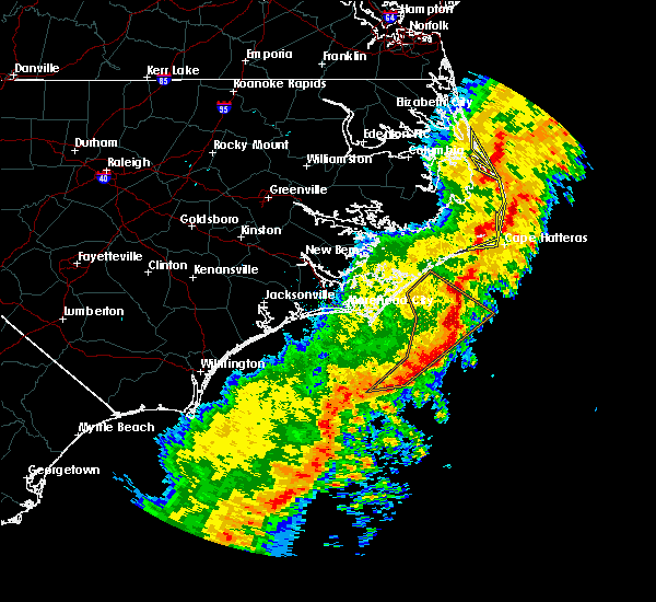 At 1152 am edt, severe thunderstorms were located along a line extending from whalebone to salvo to hatteras ferry terminal, moving northeast at 60 mph (radar indicated). Hazards include 60 mph wind gusts. Expect damage to roofs, siding, and trees. locations impacted include, kill devil hills, frisco, buxton, salvo, avon, waves, nags head, rodanthe, manteo, colington, whalebone, jockeys ridge state park, wright brothers national monument, hatteras ferry terminal, cape hatteras lighthouse, wanchese, bodie island lighthouse, outer banks fishing pier and avalon pier. A tornado watch remains in effect until noon edt for eastern north carolina. At 1152 am edt, severe thunderstorms were located along a line extending from whalebone to salvo to hatteras ferry terminal, moving northeast at 60 mph (radar indicated). Hazards include 60 mph wind gusts. Expect damage to roofs, siding, and trees. locations impacted include, kill devil hills, frisco, buxton, salvo, avon, waves, nags head, rodanthe, manteo, colington, whalebone, jockeys ridge state park, wright brothers national monument, hatteras ferry terminal, cape hatteras lighthouse, wanchese, bodie island lighthouse, outer banks fishing pier and avalon pier. A tornado watch remains in effect until noon edt for eastern north carolina.
|
| 4/13/2020 11:37 AM EDT |
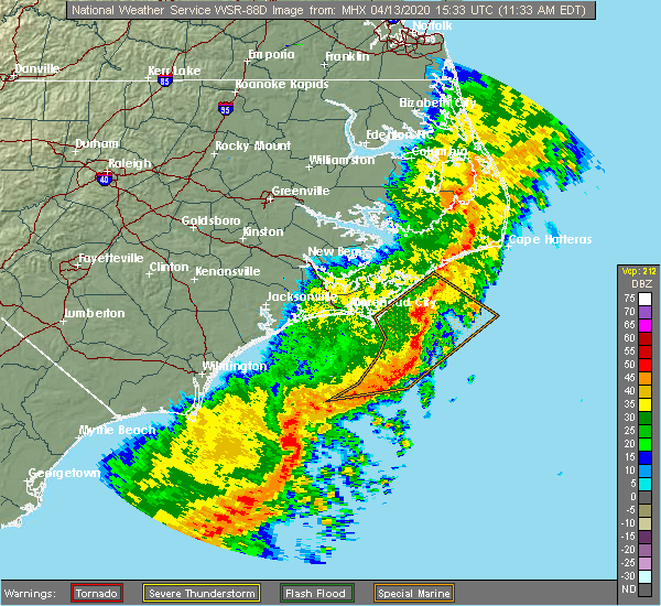 At 1136 am edt, severe thunderstorms were located along a line extending from near colington to 10 miles northwest of avon to near hatteras ferry terminal, moving northeast at 70 mph (radar indicated). Hazards include 60 mph wind gusts. expect damage to roofs, siding, and trees At 1136 am edt, severe thunderstorms were located along a line extending from near colington to 10 miles northwest of avon to near hatteras ferry terminal, moving northeast at 70 mph (radar indicated). Hazards include 60 mph wind gusts. expect damage to roofs, siding, and trees
|
| 6/20/2019 6:58 PM EDT |
 At 657 pm edt, severe thunderstorms were located along a line extending from 22 miles east of bodie island lighthouse to 10 miles east of middletown to 10 miles east of florence, moving southeast at 55 mph (radar indicated). Hazards include 70 mph wind gusts. Expect considerable tree damage. damage is likely to mobile homes, roofs, and outbuildings. Locations impacted include, stumpy point, frisco, buxton, salvo, waves, swindell fork, avon, gull rock, fairfield, rodanthe, new holland, nebraska, rose bay, lake landing, middletown, fort landing, lake mattamuskeet, swan quarter ferry terminal, ocracoke ferry terminal and bodie island lighthouse. At 657 pm edt, severe thunderstorms were located along a line extending from 22 miles east of bodie island lighthouse to 10 miles east of middletown to 10 miles east of florence, moving southeast at 55 mph (radar indicated). Hazards include 70 mph wind gusts. Expect considerable tree damage. damage is likely to mobile homes, roofs, and outbuildings. Locations impacted include, stumpy point, frisco, buxton, salvo, waves, swindell fork, avon, gull rock, fairfield, rodanthe, new holland, nebraska, rose bay, lake landing, middletown, fort landing, lake mattamuskeet, swan quarter ferry terminal, ocracoke ferry terminal and bodie island lighthouse.
|
| 6/20/2019 6:38 PM EDT |
 At 637 pm edt, severe thunderstorms were located along a line extending from 10 miles east of whalebone to near fort landing to near royal, moving southeast at 55 mph (radar indicated). Hazards include 70 mph wind gusts. Expect considerable tree damage. Damage is likely to mobile homes, roofs, and outbuildings. At 637 pm edt, severe thunderstorms were located along a line extending from 10 miles east of whalebone to near fort landing to near royal, moving southeast at 55 mph (radar indicated). Hazards include 70 mph wind gusts. Expect considerable tree damage. Damage is likely to mobile homes, roofs, and outbuildings.
|
| 5/31/2019 7:13 PM EDT |
 At 713 pm edt, a severe thunderstorm was located 7 miles northwest of hatteras ferry terminal, or 9 miles west of frisco, moving east at 35 mph (radar indicated). Hazards include 60 mph wind gusts and half dollar size hail. Hail damage to vehicles is expected. Expect wind damage to roofs, siding, and trees. At 713 pm edt, a severe thunderstorm was located 7 miles northwest of hatteras ferry terminal, or 9 miles west of frisco, moving east at 35 mph (radar indicated). Hazards include 60 mph wind gusts and half dollar size hail. Hail damage to vehicles is expected. Expect wind damage to roofs, siding, and trees.
|
| 5/12/2019 5:37 PM EDT |
 At 537 pm edt, a severe thunderstorm was located over frisco, moving northeast at 50 mph (radar indicated). Hazards include 60 mph wind gusts. Expect damage to roofs, siding, and trees. Locations impacted include, frisco, avon, buxton, hatteras ferry terminal, avon pier and cape hatteras lighthouse. At 537 pm edt, a severe thunderstorm was located over frisco, moving northeast at 50 mph (radar indicated). Hazards include 60 mph wind gusts. Expect damage to roofs, siding, and trees. Locations impacted include, frisco, avon, buxton, hatteras ferry terminal, avon pier and cape hatteras lighthouse.
|
| 5/12/2019 5:15 PM EDT |
 At 514 pm edt, a severe thunderstorm was located over ocracoke ferry terminal, or 20 miles southwest of frisco, moving northeast at 50 mph (radar indicated). Hazards include 70 mph wind gusts and penny size hail. Expect considerable tree damage. Damage is likely to mobile homes, roofs, and outbuildings. At 514 pm edt, a severe thunderstorm was located over ocracoke ferry terminal, or 20 miles southwest of frisco, moving northeast at 50 mph (radar indicated). Hazards include 70 mph wind gusts and penny size hail. Expect considerable tree damage. Damage is likely to mobile homes, roofs, and outbuildings.
|
| 4/20/2019 4:55 AM EDT |
 At 455 am edt, a severe thunderstorm was located over buxton, or near frisco, moving north at 75 mph (radar indicated). Hazards include 60 mph wind gusts. Expect damage to roofs, siding, and trees. Locations impacted include, frisco, buxton, salvo, avon, waves, nags head, rodanthe, manteo, whalebone, jockeys ridge state park, roanoke island festival park, hatteras ferry terminal, nags head fishing pier, avon pier, cape hatteras lighthouse, wanchese, hatteras island fishing pier, bodie island lighthouse and outer banks fishing pier. At 455 am edt, a severe thunderstorm was located over buxton, or near frisco, moving north at 75 mph (radar indicated). Hazards include 60 mph wind gusts. Expect damage to roofs, siding, and trees. Locations impacted include, frisco, buxton, salvo, avon, waves, nags head, rodanthe, manteo, whalebone, jockeys ridge state park, roanoke island festival park, hatteras ferry terminal, nags head fishing pier, avon pier, cape hatteras lighthouse, wanchese, hatteras island fishing pier, bodie island lighthouse and outer banks fishing pier.
|
| 4/20/2019 4:34 AM EDT |
 At 434 am edt, a severe thunderstorm was located over frisco, moving north at 55 mph (radar indicated). Hazards include 60 mph wind gusts. expect damage to roofs, siding, and trees At 434 am edt, a severe thunderstorm was located over frisco, moving north at 55 mph (radar indicated). Hazards include 60 mph wind gusts. expect damage to roofs, siding, and trees
|
| 4/19/2019 11:14 PM EDT |
 At 1114 pm edt, a severe thunderstorm was located over hatteras ferry terminal, or near frisco, moving northeast at 50 mph (radar indicated). Hazards include 60 mph wind gusts. Expect damage to roofs, siding, and trees. locations impacted include, frisco, buxton, salvo, avon, waves, rodanthe, hatteras ferry terminal, ocracoke ferry terminal, ocracoke lighthouse, avon pier and cape hatteras lighthouse. A tornado watch remains in effect until midnight edt for eastern north carolina. At 1114 pm edt, a severe thunderstorm was located over hatteras ferry terminal, or near frisco, moving northeast at 50 mph (radar indicated). Hazards include 60 mph wind gusts. Expect damage to roofs, siding, and trees. locations impacted include, frisco, buxton, salvo, avon, waves, rodanthe, hatteras ferry terminal, ocracoke ferry terminal, ocracoke lighthouse, avon pier and cape hatteras lighthouse. A tornado watch remains in effect until midnight edt for eastern north carolina.
|
| 4/19/2019 10:50 PM EDT |
 At 1050 pm edt, a severe thunderstorm was located near portsmouth village, or 18 miles east of cedar island, moving northeast at 50 mph (radar indicated). Hazards include 70 mph wind gusts. Expect considerable tree damage. Damage is likely to mobile homes, roofs, and outbuildings. At 1050 pm edt, a severe thunderstorm was located near portsmouth village, or 18 miles east of cedar island, moving northeast at 50 mph (radar indicated). Hazards include 70 mph wind gusts. Expect considerable tree damage. Damage is likely to mobile homes, roofs, and outbuildings.
|
| 4/15/2019 5:41 AM EDT |
 At 540 am edt, severe thunderstorms were located along a line extending from 6 miles east of avalon pier to 6 miles southwest of hatteras ferry terminal, moving northeast at 60 mph (radar indicated). Hazards include 60 mph wind gusts. Expect damage to roofs, siding, and trees. Locations impacted include, kill devil hills, stumpy point, frisco, buxton, salvo, manns harbor, waves, avon, nags head, rodanthe, manteo, colington, whalebone, roanoke island festival park, nags head fishing pier, bodie island lighthouse, jockeys ridge state park, wright brothers national monument, hatteras ferry terminal and avalon pier. At 540 am edt, severe thunderstorms were located along a line extending from 6 miles east of avalon pier to 6 miles southwest of hatteras ferry terminal, moving northeast at 60 mph (radar indicated). Hazards include 60 mph wind gusts. Expect damage to roofs, siding, and trees. Locations impacted include, kill devil hills, stumpy point, frisco, buxton, salvo, manns harbor, waves, avon, nags head, rodanthe, manteo, colington, whalebone, roanoke island festival park, nags head fishing pier, bodie island lighthouse, jockeys ridge state park, wright brothers national monument, hatteras ferry terminal and avalon pier.
|
| 4/15/2019 5:16 AM EDT |
 At 516 am edt, severe thunderstorms were located along a line extending from 6 miles northeast of sanderling to 11 miles southeast of atlantic, moving northeast at 50 mph (radar indicated). Hazards include 60 mph wind gusts. Expect damage to roofs, siding, and trees. Locations impacted include, kill devil hills, stumpy point, frisco, southern shores, buxton, salvo, manns harbor, waves, avon, gull rock, nags head, atlantic, rodanthe, mashoes, manteo, east lake, sanderling, colington, whalebone and nebraska. At 516 am edt, severe thunderstorms were located along a line extending from 6 miles northeast of sanderling to 11 miles southeast of atlantic, moving northeast at 50 mph (radar indicated). Hazards include 60 mph wind gusts. Expect damage to roofs, siding, and trees. Locations impacted include, kill devil hills, stumpy point, frisco, southern shores, buxton, salvo, manns harbor, waves, avon, gull rock, nags head, atlantic, rodanthe, mashoes, manteo, east lake, sanderling, colington, whalebone and nebraska.
|
| 4/15/2019 4:54 AM EDT |
 At 453 am edt, severe thunderstorms were located along a line extending from near indiantown to near davis, moving northeast at 55 mph (radar indicated). Hazards include 60 mph wind gusts. expect damage to roofs, siding, and trees At 453 am edt, severe thunderstorms were located along a line extending from near indiantown to near davis, moving northeast at 55 mph (radar indicated). Hazards include 60 mph wind gusts. expect damage to roofs, siding, and trees
|
| 11/13/2018 7:17 AM EST |
 At 717 am est, severe thunderstorms were located along a line extending from 13 miles east of hatteras island fishing pier to near avon, moving northeast at 45 mph (radar indicated). Hazards include 60 mph wind gusts and quarter size hail. Hail damage to vehicles is expected. expect wind damage to roofs, siding, and trees. Locations impacted include, frisco, buxton, avon, hatteras ferry terminal, ocracoke ferry terminal, ocracoke lighthouse, avon pier and cape hatteras lighthouse. At 717 am est, severe thunderstorms were located along a line extending from 13 miles east of hatteras island fishing pier to near avon, moving northeast at 45 mph (radar indicated). Hazards include 60 mph wind gusts and quarter size hail. Hail damage to vehicles is expected. expect wind damage to roofs, siding, and trees. Locations impacted include, frisco, buxton, avon, hatteras ferry terminal, ocracoke ferry terminal, ocracoke lighthouse, avon pier and cape hatteras lighthouse.
|
| 11/13/2018 7:07 AM EST | Storm damage reported in dare county NC, 3.4 miles ENE of Hatteras, NC |
| 11/13/2018 7:06 AM EST | Storm damage reported in dare county NC, 3.4 miles ENE of Hatteras, NC |
| 11/13/2018 6:37 AM EST |
 At 636 am est, severe thunderstorms were located along a line extending from 6 miles northwest of frisco to near ocracoke ferry terminal, moving northeast at 45 mph (radar indicated). Hazards include 60 mph wind gusts and quarter size hail. Hail damage to vehicles is expected. Expect wind damage to roofs, siding, and trees. At 636 am est, severe thunderstorms were located along a line extending from 6 miles northwest of frisco to near ocracoke ferry terminal, moving northeast at 45 mph (radar indicated). Hazards include 60 mph wind gusts and quarter size hail. Hail damage to vehicles is expected. Expect wind damage to roofs, siding, and trees.
|
| 9/13/2018 8:49 PM EDT |
 At 849 pm edt, a severe thunderstorm capable of producing a tornado was located near frisco, moving northwest at 70 mph (radar indicated rotation). Hazards include tornado. Flying debris will be dangerous to those caught without shelter. mobile homes will be damaged or destroyed. damage to roofs, windows, and vehicles will occur. tree damage is likely. This tornadic thunderstorm will remain over mainly rural areas of southeastern hyde and southeastern dare counties. At 849 pm edt, a severe thunderstorm capable of producing a tornado was located near frisco, moving northwest at 70 mph (radar indicated rotation). Hazards include tornado. Flying debris will be dangerous to those caught without shelter. mobile homes will be damaged or destroyed. damage to roofs, windows, and vehicles will occur. tree damage is likely. This tornadic thunderstorm will remain over mainly rural areas of southeastern hyde and southeastern dare counties.
|
| 1/12/2018 11:24 PM EST |
 At 1124 pm est, severe thunderstorms were located along a line extending from 7 miles southeast of stumpy point to 10 miles southeast of cape hatteras lighthouse, moving northeast at 65 mph (radar indicated). Hazards include 70 mph wind gusts. Expect considerable tree damage. damage is likely to mobile homes, roofs, and outbuildings. Locations impacted include, frisco, buxton, salvo, avon, waves, rodanthe, hatteras island fishing pier, avon pier and cape hatteras lighthouse. At 1124 pm est, severe thunderstorms were located along a line extending from 7 miles southeast of stumpy point to 10 miles southeast of cape hatteras lighthouse, moving northeast at 65 mph (radar indicated). Hazards include 70 mph wind gusts. Expect considerable tree damage. damage is likely to mobile homes, roofs, and outbuildings. Locations impacted include, frisco, buxton, salvo, avon, waves, rodanthe, hatteras island fishing pier, avon pier and cape hatteras lighthouse.
|
| 1/12/2018 10:57 PM EST |
 At 1057 pm est, severe thunderstorms were located along a line extending from near gull rock to 20 miles southeast of ocracoke lighthouse, moving northeast at 65 mph (radar indicated). Hazards include 60 mph wind gusts. expect damage to roofs, siding, and trees At 1057 pm est, severe thunderstorms were located along a line extending from near gull rock to 20 miles southeast of ocracoke lighthouse, moving northeast at 65 mph (radar indicated). Hazards include 60 mph wind gusts. expect damage to roofs, siding, and trees
|
| 9/3/2016 1:16 AM EDT |
 At 115 am edt, a severe thunderstorm capable of producing a tornado was located southeast of the hatteras ferry terminal, moving north at 40 mph (radar indicated rotation). Hazards include tornado. Flying debris will be dangerous to those caught without shelter. mobile homes will be damaged or destroyed. damage to roofs, windows, and vehicles will occur. tree damage is likely. This dangerous storm will be near, hatteras ferry terminal around 120 am edt. At 115 am edt, a severe thunderstorm capable of producing a tornado was located southeast of the hatteras ferry terminal, moving north at 40 mph (radar indicated rotation). Hazards include tornado. Flying debris will be dangerous to those caught without shelter. mobile homes will be damaged or destroyed. damage to roofs, windows, and vehicles will occur. tree damage is likely. This dangerous storm will be near, hatteras ferry terminal around 120 am edt.
|
| 9/3/2016 1:02 AM EDT | House destroyed on eagle pass rd. due to possible tornado in mainland dare county NC, 0.8 miles NNE of Hatteras, NC |
| 9/3/2016 12:52 AM EDT |
 At 1251 am edt, a severe thunderstorm capable of producing a tornado was located near hatteras ferry terminal, .moving northwest at 30 mph (radar indicated rotation). Hazards include tornado. Flying debris will be dangerous to those caught without shelter. mobile homes will be damaged or destroyed. damage to roofs, windows, and vehicles will occur. tree damage is likely. This dangerous storm will be near, hatteras ferry terminal around 1255 am edt. At 1251 am edt, a severe thunderstorm capable of producing a tornado was located near hatteras ferry terminal, .moving northwest at 30 mph (radar indicated rotation). Hazards include tornado. Flying debris will be dangerous to those caught without shelter. mobile homes will be damaged or destroyed. damage to roofs, windows, and vehicles will occur. tree damage is likely. This dangerous storm will be near, hatteras ferry terminal around 1255 am edt.
|
| 2/24/2016 10:26 PM EST |
 At 1024 pm est, doppler radar indicated a line of severe thunderstorms capable of producing damaging winds in excess of 60 mph. a wind gust to 53 mph was recently recorded over ocracoke island. these storms were located along a line extending from 15 miles northwest of hatteras ferry terminal to 8 miles southeast of ocracoke lighthouse, moving northeast at 55 mph. locations impacted include, hatteras ferry terminal, ocracoke lighthouse and cape hatteras lighthouse. a tornado watch remains in effect until 1100 pm est for eastern north carolina. At 1024 pm est, doppler radar indicated a line of severe thunderstorms capable of producing damaging winds in excess of 60 mph. a wind gust to 53 mph was recently recorded over ocracoke island. these storms were located along a line extending from 15 miles northwest of hatteras ferry terminal to 8 miles southeast of ocracoke lighthouse, moving northeast at 55 mph. locations impacted include, hatteras ferry terminal, ocracoke lighthouse and cape hatteras lighthouse. a tornado watch remains in effect until 1100 pm est for eastern north carolina.
|
| 2/24/2016 9:58 PM EST |
 At 957 pm est, doppler radar indicated a line of severe thunderstorms capable of producing damaging winds in excess of 60 mph. these storms were located along a line extending from 10 miles northeast of cedar island ferry terminal to 14 miles northeast of cape lookout lighthouse, and moving northeast at 50 mph. At 957 pm est, doppler radar indicated a line of severe thunderstorms capable of producing damaging winds in excess of 60 mph. these storms were located along a line extending from 10 miles northeast of cedar island ferry terminal to 14 miles northeast of cape lookout lighthouse, and moving northeast at 50 mph.
|
| 2/16/2016 9:54 AM EST |
 At 953 am est, doppler radar indicated a line of severe thunderstorms capable of producing destructive winds in excess of 70 mph. these storms were located along a line extending from 17 miles southwest of wanchese to 10 miles northwest of avon pier to near cape hatteras lighthouse, moving northeast at 60 mph. locations impacted include, manteo, hatteras ferry terminal, cape hatteras lighthouse and roanoke island festival park. At 953 am est, doppler radar indicated a line of severe thunderstorms capable of producing destructive winds in excess of 70 mph. these storms were located along a line extending from 17 miles southwest of wanchese to 10 miles northwest of avon pier to near cape hatteras lighthouse, moving northeast at 60 mph. locations impacted include, manteo, hatteras ferry terminal, cape hatteras lighthouse and roanoke island festival park.
|
| 2/16/2016 9:23 AM EST |
 At 923 am est, doppler radar indicated a line of severe thunderstorms capable of producing destructive winds in excess of 70 mph. these storms were located along a line extending from 12 miles northwest of ocracoke ferry terminal to near ocracoke lighthouse, and moving northeast at 55 mph. At 923 am est, doppler radar indicated a line of severe thunderstorms capable of producing destructive winds in excess of 70 mph. these storms were located along a line extending from 12 miles northwest of ocracoke ferry terminal to near ocracoke lighthouse, and moving northeast at 55 mph.
|
| 4/15/2014 11:42 PM EDT | National ocean service hatteras coast guard observation gust to 59 kt in dare county NC, 0.3 miles E of Hatteras, NC |
| 1/31/2013 4:18 AM EST | National ocean service tide gauge at coast guard station hatteras reported a 52 knot thunderstorm wind gus in mainland dare county NC, 1.1 miles NE of Hatteras, NC |
| 1/1/0001 12:00 AM | Skywarn spotter report. time estimated by radar in dare county NC, 0.3 miles E of Hatteras, NC |
Hail Maps for Hatteras, NC


Connect with Interactive Hail Maps