

Hail Map for Homestead Meadows North, TX
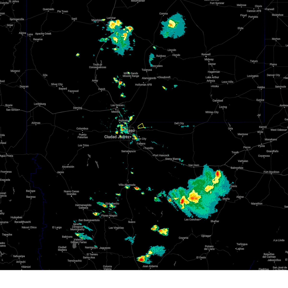
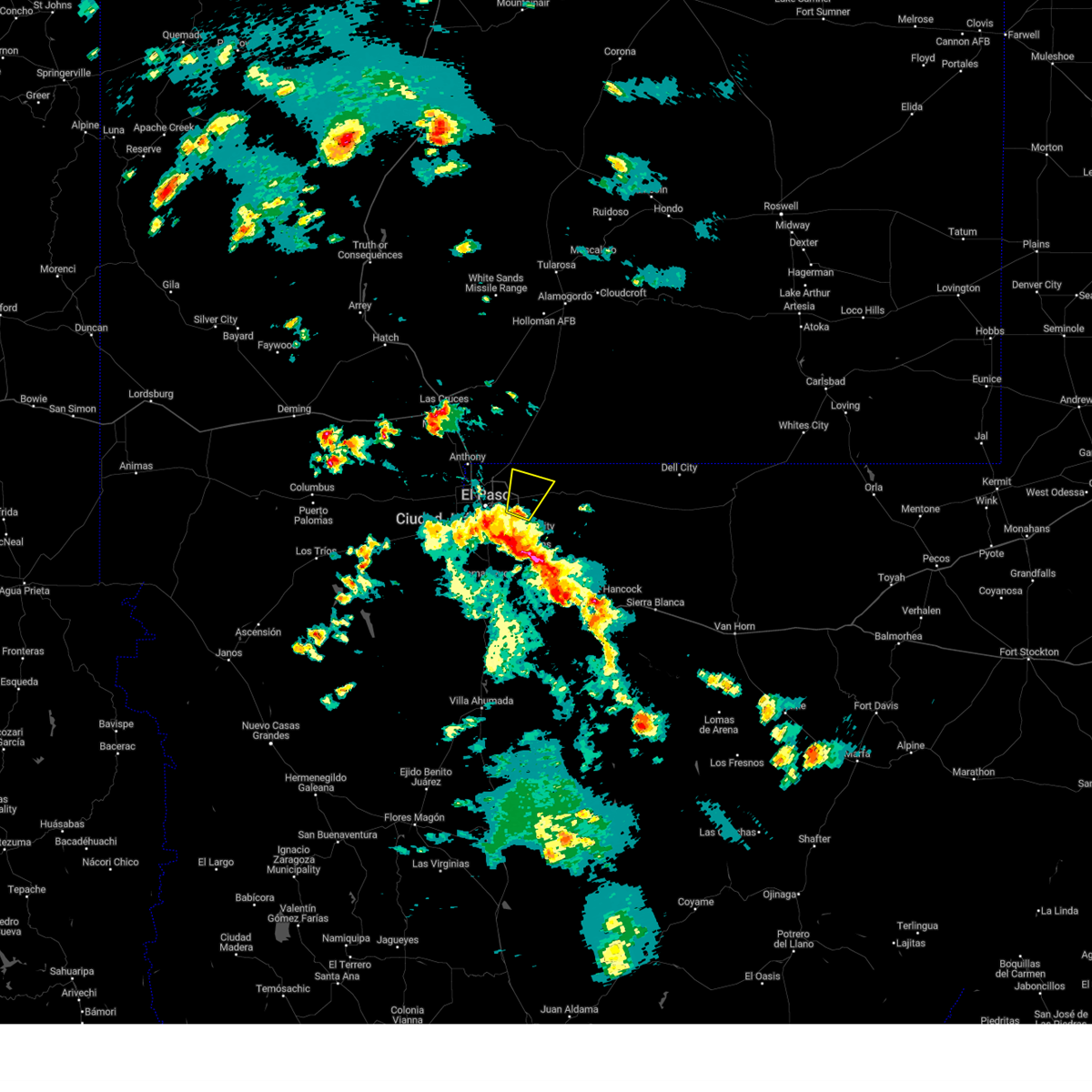
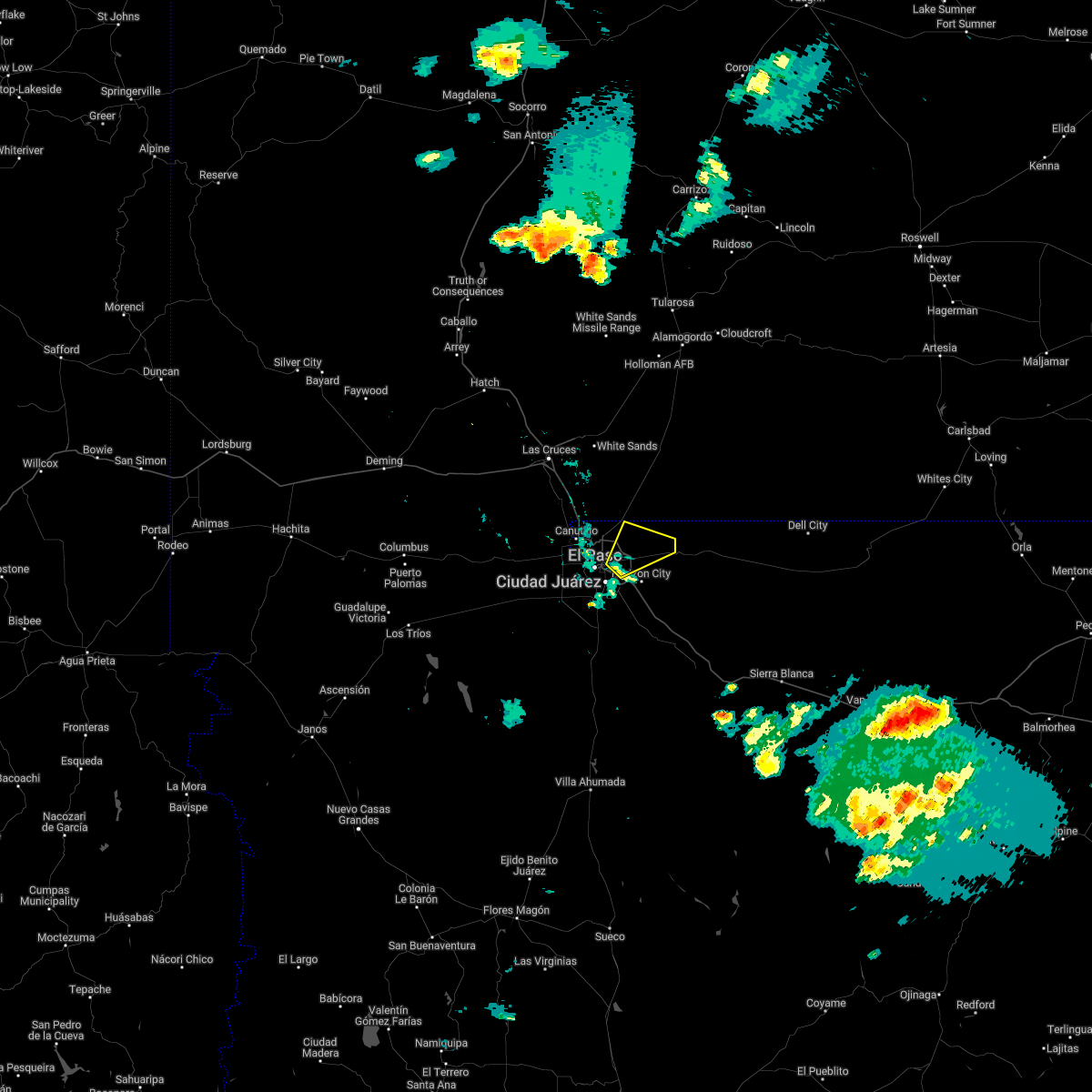
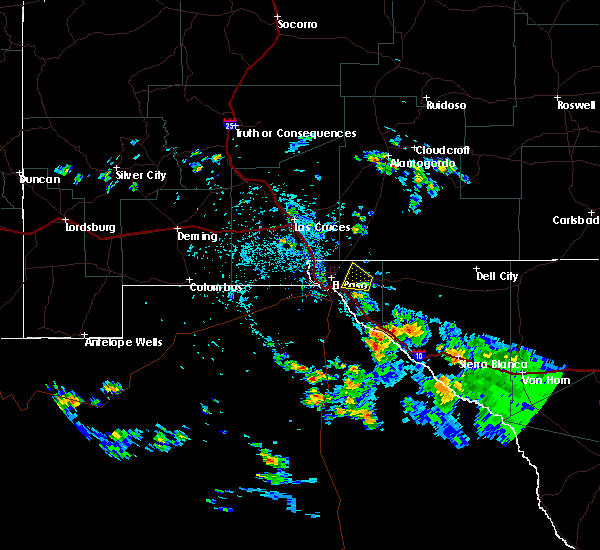
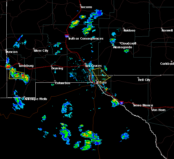
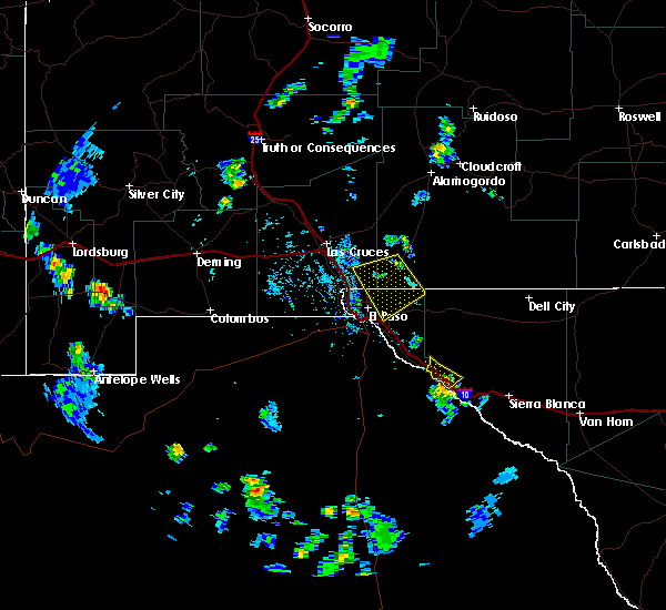
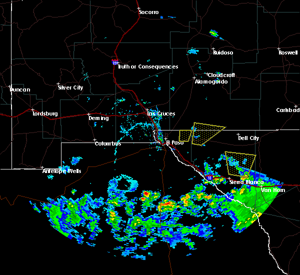
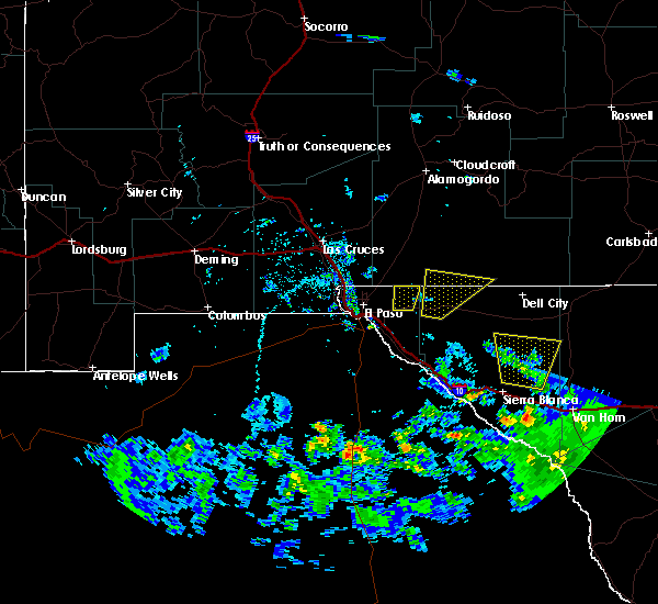
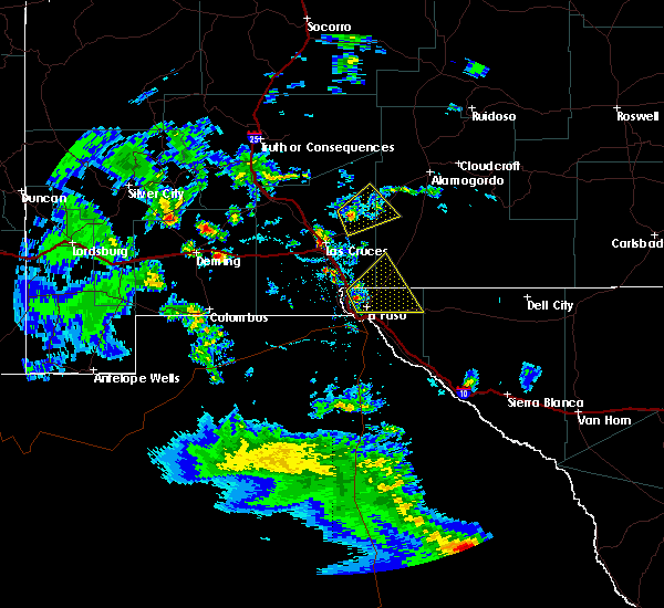
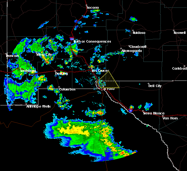
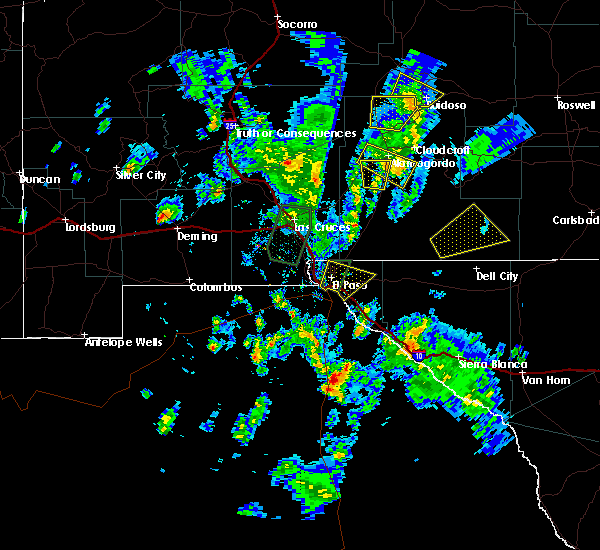
The Homestead Meadows North, TX area has had 0 reports of on-the-ground hail by trained spotters, and has been under severe weather warnings 4 times during the past 12 months. Doppler radar has detected hail at or near Homestead Meadows North, TX on 12 occasions.
| Name: | Homestead Meadows North, TX |
| Where Located: | 20.1 miles ENE of El Paso, TX |
| Map: | Google Map for Homestead Meadows North, TX |
| Population: | 5124 |
| Housing Units: | 1570 |
| More Info: | Search Google for Homestead Meadows North, TX |
5
The Top Recent Hail Date for Homestead Meadows North, TX is Saturday, April 19, 2014 (1st out of 12)

Hail and Wind Damage Spotted near Homestead Meadows North, TX
| Date / Time | Report Details |
|---|---|
| 9/26/2023 5:49 PM MDT |
 At 549 pm mdt, a severe thunderstorm was located 8 miles west of hueco tanks, moving east at 5 mph (radar indicated). Hazards include 60 mph wind gusts and quarter size hail. Hail damage to vehicles is expected. Expect wind damage to roofs, siding, and trees. At 549 pm mdt, a severe thunderstorm was located 8 miles west of hueco tanks, moving east at 5 mph (radar indicated). Hazards include 60 mph wind gusts and quarter size hail. Hail damage to vehicles is expected. Expect wind damage to roofs, siding, and trees.
|
| 6/6/2023 6:26 PM MDT |
 The severe thunderstorm warning for northeastern el paso county will expire at 630 pm mdt, the severe thunderstorm which prompted the warning has weakened and moved out of the warned area. therefore, the warning will be allowed to expire. however gusty winds and heavy rain are still possible with this thunderstorm. The severe thunderstorm warning for northeastern el paso county will expire at 630 pm mdt, the severe thunderstorm which prompted the warning has weakened and moved out of the warned area. therefore, the warning will be allowed to expire. however gusty winds and heavy rain are still possible with this thunderstorm.
|
| 6/6/2023 5:41 PM MDT |
 At 541 pm mdt, a severe thunderstorm was located over far east el paso, moving north at 20 mph (radar indicated). Hazards include 60 mph wind gusts and half dollar size hail. Hail damage to vehicles is expected. Expect wind damage to roofs, siding, and trees. At 541 pm mdt, a severe thunderstorm was located over far east el paso, moving north at 20 mph (radar indicated). Hazards include 60 mph wind gusts and half dollar size hail. Hail damage to vehicles is expected. Expect wind damage to roofs, siding, and trees.
|
| 6/6/2023 4:57 PM MDT |
 At 456 pm mdt, a severe thunderstorm was located near san elizario, moving northeast at 5 mph (radar indicated). Hazards include 60 mph wind gusts and quarter size hail. Hail damage to vehicles is expected. Expect wind damage to roofs, siding, and trees. At 456 pm mdt, a severe thunderstorm was located near san elizario, moving northeast at 5 mph (radar indicated). Hazards include 60 mph wind gusts and quarter size hail. Hail damage to vehicles is expected. Expect wind damage to roofs, siding, and trees.
|
| 6/2/2022 6:40 PM MDT |
 At 639 pm mdt, a severe thunderstorm was located 7 miles northeast of far east el paso, moving northeast at 15 mph (radar indicated). Hazards include 60 mph wind gusts and quarter size hail. Hail damage to vehicles is expected. expect wind damage to roofs, siding, and trees. locations impacted include, far east el paso, hueco tanks, hueco mountain estates, homestead meadows, montana vista and butterfield. hail threat, observed max hail size, 1. 00 in wind threat, radar indicated max wind gust, 60 mph. At 639 pm mdt, a severe thunderstorm was located 7 miles northeast of far east el paso, moving northeast at 15 mph (radar indicated). Hazards include 60 mph wind gusts and quarter size hail. Hail damage to vehicles is expected. expect wind damage to roofs, siding, and trees. locations impacted include, far east el paso, hueco tanks, hueco mountain estates, homestead meadows, montana vista and butterfield. hail threat, observed max hail size, 1. 00 in wind threat, radar indicated max wind gust, 60 mph.
|
| 6/2/2022 6:20 PM MDT |
 At 620 pm mdt, a severe thunderstorm was located near east el paso, moving northeast at 15 mph (radar indicated). Hazards include 60 mph wind gusts and quarter size hail. Hail damage to vehicles is expected. Expect wind damage to roofs, siding, and trees. At 620 pm mdt, a severe thunderstorm was located near east el paso, moving northeast at 15 mph (radar indicated). Hazards include 60 mph wind gusts and quarter size hail. Hail damage to vehicles is expected. Expect wind damage to roofs, siding, and trees.
|
| 7/11/2021 8:55 PM MDT |
 The severe thunderstorm warning for south central dona ana and el paso counties will expire at 900 pm mdt, the storms which prompted the warning have weakened below severe limits, and have exited the warned area. therefore, the warning will be allowed to expire. however gusty winds are still possible with these thunderstorms. a severe thunderstorm watch remains in effect until 1000 pm mdt for south central new mexico, and western texas. The severe thunderstorm warning for south central dona ana and el paso counties will expire at 900 pm mdt, the storms which prompted the warning have weakened below severe limits, and have exited the warned area. therefore, the warning will be allowed to expire. however gusty winds are still possible with these thunderstorms. a severe thunderstorm watch remains in effect until 1000 pm mdt for south central new mexico, and western texas.
|
| 7/11/2021 8:35 PM MDT |
 At 835 pm mdt, severe thunderstorms were located along a line extending from 7 miles north of far east el paso to 3 miles east of west el paso to 6 miles west of santa teresa, moving southeast at 25 mph (radar indicated). Hazards include 60 mph wind gusts. Expect damage to roofs, siding, and trees. locations impacted include, west el paso, east el paso, central el paso, northeast el paso, far east el paso, mission valley, tornillo, fabens, clint, horizon city, santa teresa, anthony, sunland park, indian cliffs ranch, canutillo, san elizario, vinton, westway, fort bliss and socorro. This includes interstate 10 in texas between mile markers 1 and 56. At 835 pm mdt, severe thunderstorms were located along a line extending from 7 miles north of far east el paso to 3 miles east of west el paso to 6 miles west of santa teresa, moving southeast at 25 mph (radar indicated). Hazards include 60 mph wind gusts. Expect damage to roofs, siding, and trees. locations impacted include, west el paso, east el paso, central el paso, northeast el paso, far east el paso, mission valley, tornillo, fabens, clint, horizon city, santa teresa, anthony, sunland park, indian cliffs ranch, canutillo, san elizario, vinton, westway, fort bliss and socorro. This includes interstate 10 in texas between mile markers 1 and 56.
|
| 7/11/2021 8:11 PM MDT |
 At 811 pm mdt, severe thunderstorms were located along a line extending from 3 miles northeast of northeast el paso to canutillo to 8 miles southeast of afton, moving southeast at 55 mph (radar indicated). Hazards include 70 mph wind gusts and ping pong ball size hail. People and animals outdoors will be injured. expect hail damage to roofs, siding, windows, and vehicles. expect considerable tree damage. Wind damage is also likely to mobile homes, roofs, and outbuildings. At 811 pm mdt, severe thunderstorms were located along a line extending from 3 miles northeast of northeast el paso to canutillo to 8 miles southeast of afton, moving southeast at 55 mph (radar indicated). Hazards include 70 mph wind gusts and ping pong ball size hail. People and animals outdoors will be injured. expect hail damage to roofs, siding, windows, and vehicles. expect considerable tree damage. Wind damage is also likely to mobile homes, roofs, and outbuildings.
|
| 7/11/2021 7:49 PM MDT |
 At 748 pm mdt, severe thunderstorms were located along a line extending from 7 miles south of afton to near sunland park to 6 miles northeast of hueco tanks, moving southwest at 40 mph. these are very dangerous storms (radar indicated). Hazards include 80 mph wind gusts and golf ball size hail. Flying debris will be dangerous to those caught without shelter. mobile homes will be heavily damaged. expect considerable damage to roofs, windows, and vehicles. extensive tree damage and power outages are likely. locations impacted include, west el paso, east el paso, central el paso, northeast el paso, far east el paso, mission valley, chaparral, loma linda, clint, horizon city, santa teresa, anthony, desert haven, hueco tanks, vado, sunland park, canutillo, afton, san elizario and anthony gap. this includes the following highways, interstate 10 in new mexico between mile markers 157 and 164. interstate 10 in texas between mile markers 1 and 46. Highway 54 in new mexico between mile markers 1 and 5. At 748 pm mdt, severe thunderstorms were located along a line extending from 7 miles south of afton to near sunland park to 6 miles northeast of hueco tanks, moving southwest at 40 mph. these are very dangerous storms (radar indicated). Hazards include 80 mph wind gusts and golf ball size hail. Flying debris will be dangerous to those caught without shelter. mobile homes will be heavily damaged. expect considerable damage to roofs, windows, and vehicles. extensive tree damage and power outages are likely. locations impacted include, west el paso, east el paso, central el paso, northeast el paso, far east el paso, mission valley, chaparral, loma linda, clint, horizon city, santa teresa, anthony, desert haven, hueco tanks, vado, sunland park, canutillo, afton, san elizario and anthony gap. this includes the following highways, interstate 10 in new mexico between mile markers 157 and 164. interstate 10 in texas between mile markers 1 and 46. Highway 54 in new mexico between mile markers 1 and 5.
|
| 7/11/2021 7:31 PM MDT |
 At 730 pm mdt, severe thunderstorms were located along a line extending from 7 miles northeast of afton to near anthony gap to 19 miles east of mcgregor range base, moving southwest at 35 mph. near zero visibility is possible from blowing dust ahead of the rain (radar indicated). Hazards include 70 mph wind gusts and penny size hail. Expect considerable tree damage. Damage is likely to mobile homes, roofs, and outbuildings. At 730 pm mdt, severe thunderstorms were located along a line extending from 7 miles northeast of afton to near anthony gap to 19 miles east of mcgregor range base, moving southwest at 35 mph. near zero visibility is possible from blowing dust ahead of the rain (radar indicated). Hazards include 70 mph wind gusts and penny size hail. Expect considerable tree damage. Damage is likely to mobile homes, roofs, and outbuildings.
|
| 6/27/2021 2:23 PM MDT |
 At 223 pm mdt, a severe thunderstorm was located 7 miles east of northeast el paso, moving east at 15 mph (radar indicated). Hazards include ping pong ball size hail and 60 mph wind gusts. People and animals outdoors will be injured. expect hail damage to roofs, siding, windows, and vehicles. expect wind damage to roofs, siding, and trees. Locations impacted include, northeast el paso, east el paso, far east el paso, montana vista, biggs field, fort bliss northeast and homestead meadows. At 223 pm mdt, a severe thunderstorm was located 7 miles east of northeast el paso, moving east at 15 mph (radar indicated). Hazards include ping pong ball size hail and 60 mph wind gusts. People and animals outdoors will be injured. expect hail damage to roofs, siding, windows, and vehicles. expect wind damage to roofs, siding, and trees. Locations impacted include, northeast el paso, east el paso, far east el paso, montana vista, biggs field, fort bliss northeast and homestead meadows.
|
| 6/27/2021 1:59 PM MDT |
 At 159 pm mdt, a severe thunderstorm was located near northeast el paso, moving east at 15 mph (radar indicated). Hazards include ping pong ball size hail and 60 mph wind gusts. People and animals outdoors will be injured. expect hail damage to roofs, siding, windows, and vehicles. Expect wind damage to roofs, siding, and trees. At 159 pm mdt, a severe thunderstorm was located near northeast el paso, moving east at 15 mph (radar indicated). Hazards include ping pong ball size hail and 60 mph wind gusts. People and animals outdoors will be injured. expect hail damage to roofs, siding, windows, and vehicles. Expect wind damage to roofs, siding, and trees.
|
| 3/19/2020 12:08 AM MDT |
 The severe thunderstorm warning for southwestern otero, southeastern dona ana, western hudspeth and el paso counties will expire at 1215 am mdt, the storm which prompted the warning has weakened below severe limits, and no longer poses an immediate threat to life or property. therefore, the warning will be allowed to expire. however gusty winds to near 50 mph are still possible with this line of showers and thunderstorms as it moves across northern el paso county and into southwest otero county. The severe thunderstorm warning for southwestern otero, southeastern dona ana, western hudspeth and el paso counties will expire at 1215 am mdt, the storm which prompted the warning has weakened below severe limits, and no longer poses an immediate threat to life or property. therefore, the warning will be allowed to expire. however gusty winds to near 50 mph are still possible with this line of showers and thunderstorms as it moves across northern el paso county and into southwest otero county.
|
| 3/18/2020 11:54 PM MDT |
 At 1152 pm mdt, a line of fast moving showers and thunderstorm, with very strong winds, was moving across the i-10 corridor between las cruces and el paso. this line was moving east at 60 mph (radar indicated). Hazards include 60 mph wind gusts and penny size hail. Expect damage to roofs, siding, and trees. Locations impacted include, west el paso, east el paso, central el paso, northeast el paso, far east el paso, mission valley, chaparral, santa teresa, anthony, hueco tanks, vado, las cruces, white sands missile range headquarters, sunland park, nmsu main campus, canutillo, anthony gap, berino, vinton and san miguel. At 1152 pm mdt, a line of fast moving showers and thunderstorm, with very strong winds, was moving across the i-10 corridor between las cruces and el paso. this line was moving east at 60 mph (radar indicated). Hazards include 60 mph wind gusts and penny size hail. Expect damage to roofs, siding, and trees. Locations impacted include, west el paso, east el paso, central el paso, northeast el paso, far east el paso, mission valley, chaparral, santa teresa, anthony, hueco tanks, vado, las cruces, white sands missile range headquarters, sunland park, nmsu main campus, canutillo, anthony gap, berino, vinton and san miguel.
|
| 3/18/2020 11:38 PM MDT |
 At 1136 pm mdt, a severe thunderstorm was located near santa teresa, moving east at 50 mph (radar indicated). Hazards include 60 mph wind gusts and penny size hail. expect damage to roofs, siding, and trees At 1136 pm mdt, a severe thunderstorm was located near santa teresa, moving east at 50 mph (radar indicated). Hazards include 60 mph wind gusts and penny size hail. expect damage to roofs, siding, and trees
|
| 8/23/2019 6:26 PM MDT |
 The severe thunderstorm warning for northeastern el paso county will expire at 630 pm mdt, the storm which prompted the warning has weakened below severe limits, and no longer poses an immediate threat to life or property. therefore, the warning will be allowed to expire. however, heavy rain is still possible with this thunderstorm. The severe thunderstorm warning for northeastern el paso county will expire at 630 pm mdt, the storm which prompted the warning has weakened below severe limits, and no longer poses an immediate threat to life or property. therefore, the warning will be allowed to expire. however, heavy rain is still possible with this thunderstorm.
|
| 8/23/2019 5:48 PM MDT |
 At 547 pm mdt, a severe thunderstorm was located 6 miles north of far east el paso, moving east at 5 mph (radar indicated). Hazards include 60 mph wind gusts and quarter size hail. Hail damage to vehicles is expected. Expect wind damage to roofs, siding, and trees. At 547 pm mdt, a severe thunderstorm was located 6 miles north of far east el paso, moving east at 5 mph (radar indicated). Hazards include 60 mph wind gusts and quarter size hail. Hail damage to vehicles is expected. Expect wind damage to roofs, siding, and trees.
|
| 6/4/2019 3:44 PM MDT |
 At 344 pm mdt, a severe thunderstorm was located over hueco tanks, moving north at 35 mph (trained weather spotters reported hail sized up to an inch). Hazards include 60 mph wind gusts and quarter size hail. Hail damage to vehicles is expected. Expect wind damage to roofs, siding, and trees. At 344 pm mdt, a severe thunderstorm was located over hueco tanks, moving north at 35 mph (trained weather spotters reported hail sized up to an inch). Hazards include 60 mph wind gusts and quarter size hail. Hail damage to vehicles is expected. Expect wind damage to roofs, siding, and trees.
|
| 6/4/2019 3:39 PM MDT |
 The national weather service in el paso has issued a * severe thunderstorm warning for. southwestern otero county in south central new mexico. east central dona ana county in south central new mexico. north central el paso county in southwestern texas. Until 415 pm mdt. The national weather service in el paso has issued a * severe thunderstorm warning for. southwestern otero county in south central new mexico. east central dona ana county in south central new mexico. north central el paso county in southwestern texas. Until 415 pm mdt.
|
| 6/4/2019 2:57 PM MDT |
 At 257 pm mdt, a severe thunderstorm was located 4 miles southwest of tornillo, moving north at 25 mph (radar indicated). Hazards include 60 mph wind gusts and half dollar size hail. Hail damage to vehicles is expected. Expect wind damage to roofs, siding, and trees. At 257 pm mdt, a severe thunderstorm was located 4 miles southwest of tornillo, moving north at 25 mph (radar indicated). Hazards include 60 mph wind gusts and half dollar size hail. Hail damage to vehicles is expected. Expect wind damage to roofs, siding, and trees.
|
| 6/3/2019 5:14 PM MDT |
 At 513 pm mdt, a severe thunderstorm was located near east el paso, moving northeast at 15 mph (radar indicated). Hazards include 60 mph wind gusts and quarter size hail. Hail damage to vehicles is expected. Expect wind damage to roofs, siding, and trees. At 513 pm mdt, a severe thunderstorm was located near east el paso, moving northeast at 15 mph (radar indicated). Hazards include 60 mph wind gusts and quarter size hail. Hail damage to vehicles is expected. Expect wind damage to roofs, siding, and trees.
|
| 4/22/2019 4:59 PM MDT |
 At 456 pm mdt, severe thunderstorms with strong possibly damaging winds were moving into the vicinity of el paso texas and surrounding locations (radar indicated). Hazards include 60 mph wind gusts. expect damage to roofs, siding, and trees At 456 pm mdt, severe thunderstorms with strong possibly damaging winds were moving into the vicinity of el paso texas and surrounding locations (radar indicated). Hazards include 60 mph wind gusts. expect damage to roofs, siding, and trees
|
| 7/13/2018 7:31 PM MDT |
 At 729 pm mdt, a severe thunderstorm was located over el paso, moving northeast at 10 mph. this is a very dangerous storm (radar indicated). Hazards include 80 mph wind gusts and quarter size hail. Flying debris will be dangerous to those caught without shelter. mobile homes will be heavily damaged. expect considerable damage to roofs, windows, and vehicles. extensive tree damage and power outages are likely. Locations impacted include, central el paso, east el paso, far east el paso, mission valley, montana vista, fort bliss, fort bliss northeast, and horizon city. At 729 pm mdt, a severe thunderstorm was located over el paso, moving northeast at 10 mph. this is a very dangerous storm (radar indicated). Hazards include 80 mph wind gusts and quarter size hail. Flying debris will be dangerous to those caught without shelter. mobile homes will be heavily damaged. expect considerable damage to roofs, windows, and vehicles. extensive tree damage and power outages are likely. Locations impacted include, central el paso, east el paso, far east el paso, mission valley, montana vista, fort bliss, fort bliss northeast, and horizon city.
|
| 7/13/2018 7:04 PM MDT |
 At 704 pm mdt, a severe thunderstorm was located near east el paso, moving northeast at 15 mph (radar indicated). Hazards include 70 mph wind gusts and quarter size hail. Hail damage to vehicles is expected. expect considerable tree damage. Wind damage is also likely to mobile homes, roofs, and outbuildings. At 704 pm mdt, a severe thunderstorm was located near east el paso, moving northeast at 15 mph (radar indicated). Hazards include 70 mph wind gusts and quarter size hail. Hail damage to vehicles is expected. expect considerable tree damage. Wind damage is also likely to mobile homes, roofs, and outbuildings.
|
| 6/3/2018 4:48 PM MDT |
 At 447 pm mdt, severe thunderstorms were moving into the warned area moving northeast at 35 mph (radar indicated). Hazards include 70 mph wind gusts and quarter size hail. Hail damage to vehicles is expected. expect considerable tree damage. Wind damage is also likely to mobile homes, roofs, and outbuildings. At 447 pm mdt, severe thunderstorms were moving into the warned area moving northeast at 35 mph (radar indicated). Hazards include 70 mph wind gusts and quarter size hail. Hail damage to vehicles is expected. expect considerable tree damage. Wind damage is also likely to mobile homes, roofs, and outbuildings.
|
| 6/3/2018 4:44 PM MDT |
 At 443 pm mdt, severe thunderstorms were approaching the area moving northeast at 35 mph (radar indicated). Hazards include 70 mph wind gusts and quarter size hail. Hail damage to vehicles is expected. expect considerable tree damage. Wind damage is also likely to mobile homes, roofs, and outbuildings. At 443 pm mdt, severe thunderstorms were approaching the area moving northeast at 35 mph (radar indicated). Hazards include 70 mph wind gusts and quarter size hail. Hail damage to vehicles is expected. expect considerable tree damage. Wind damage is also likely to mobile homes, roofs, and outbuildings.
|
| 5/21/2018 6:35 PM MDT |
 At 615 pm mdt, severe thunderstorms continued over the el paso area, moving northeast at 30 mph (trained weather spotters). Hazards include ping pong ball size hail and 60 mph wind gusts. People and animals outdoors will be injured. expect hail damage to roofs, siding, windows, and vehicles. Expect wind damage to roofs, siding, and trees. At 615 pm mdt, severe thunderstorms continued over the el paso area, moving northeast at 30 mph (trained weather spotters). Hazards include ping pong ball size hail and 60 mph wind gusts. People and animals outdoors will be injured. expect hail damage to roofs, siding, windows, and vehicles. Expect wind damage to roofs, siding, and trees.
|
| 5/21/2018 6:35 PM MDT |
 At 633 pm mdt, a severe thunderstorm was located over chaparral, new mexico moving northeast at 25 mph (trained weather spotters). Hazards include two inch hail and 60 mph wind gusts have been reported. People and animals outdoors will be injured. expect hail damage to roofs, siding, windows, and vehicles. expect wind damage to roofs, siding, and trees. Locations impacted include, central el paso, chaparral, east el paso, west el paso, mcgregor range base, northeast el paso, el paso, anthony gap, fort bliss, montana vista, westway, and franklin mountains state park. At 633 pm mdt, a severe thunderstorm was located over chaparral, new mexico moving northeast at 25 mph (trained weather spotters). Hazards include two inch hail and 60 mph wind gusts have been reported. People and animals outdoors will be injured. expect hail damage to roofs, siding, windows, and vehicles. expect wind damage to roofs, siding, and trees. Locations impacted include, central el paso, chaparral, east el paso, west el paso, mcgregor range base, northeast el paso, el paso, anthony gap, fort bliss, montana vista, westway, and franklin mountains state park.
|
| 5/21/2018 6:16 PM MDT |
 At 615 pm mdt, severe thunderstorms continued over the el paso area, moving northeast at 30 mph (trained weather spotters). Hazards include ping pong ball size hail and 60 mph wind gusts. People and animals outdoors will be injured. expect hail damage to roofs, siding, windows, and vehicles. Expect wind damage to roofs, siding, and trees. At 615 pm mdt, severe thunderstorms continued over the el paso area, moving northeast at 30 mph (trained weather spotters). Hazards include ping pong ball size hail and 60 mph wind gusts. People and animals outdoors will be injured. expect hail damage to roofs, siding, windows, and vehicles. Expect wind damage to roofs, siding, and trees.
|
| 8/8/2017 9:26 PM MDT |
 The severe thunderstorm warning for southern dona ana and northwestern el paso counties will expire at 930 pm mdt, the storm which prompted the warning has weakened below severe limits, and no longer pose an immediate threat to life or property. therefore, the warning will be allowed to expire. The severe thunderstorm warning for southern dona ana and northwestern el paso counties will expire at 930 pm mdt, the storm which prompted the warning has weakened below severe limits, and no longer pose an immediate threat to life or property. therefore, the warning will be allowed to expire.
|
| 8/8/2017 9:14 PM MDT |
 At 911 pm mdt, a severe thunderstorm was located near northeast el paso, moving south at 10 mph. storm is slowly weakening but still remains strong and could reintensify (radar indicated). Hazards include 60 mph wind gusts and small hail. Expect damage to roofs, siding, and trees. Locations impacted include, sunland park, central el paso, east el paso, northeast el paso, el paso, fort bliss, and sparks. At 911 pm mdt, a severe thunderstorm was located near northeast el paso, moving south at 10 mph. storm is slowly weakening but still remains strong and could reintensify (radar indicated). Hazards include 60 mph wind gusts and small hail. Expect damage to roofs, siding, and trees. Locations impacted include, sunland park, central el paso, east el paso, northeast el paso, el paso, fort bliss, and sparks.
|
| 8/8/2017 8:46 PM MDT |
 At 845 pm mdt, a severe thunderstorm was located 5 miles southeast of chaparral, moving south southwest at 15 mph (radar indicated). Hazards include 60 mph wind gusts and quarter size hail. Hail damage to vehicles is expected. Expect wind damage to roofs, siding, and trees. At 845 pm mdt, a severe thunderstorm was located 5 miles southeast of chaparral, moving south southwest at 15 mph (radar indicated). Hazards include 60 mph wind gusts and quarter size hail. Hail damage to vehicles is expected. Expect wind damage to roofs, siding, and trees.
|
| 7/27/2017 1:26 PM MDT |
 At 125 pm mdt, a severe thunderstorm was located near montana vista, or 5 miles northeast of east el paso, moving west at 10 mph (radar indicated). Hazards include 60 mph wind gusts and quarter size hail. Hail damage to vehicles is expected. expect wind damage to roofs, siding, and trees. heavy rainfall with flash flooding likely. Locations impacted include, mission valley, east el paso, northeast el paso, el paso, and montana vista. At 125 pm mdt, a severe thunderstorm was located near montana vista, or 5 miles northeast of east el paso, moving west at 10 mph (radar indicated). Hazards include 60 mph wind gusts and quarter size hail. Hail damage to vehicles is expected. expect wind damage to roofs, siding, and trees. heavy rainfall with flash flooding likely. Locations impacted include, mission valley, east el paso, northeast el paso, el paso, and montana vista.
|
| 7/27/2017 12:56 PM MDT |
 At 1256 pm mdt, a severe thunderstorm was located near montana vista, or 10 miles east of east el paso, moving west at 10 mph (radar indicated). Hazards include 60 mph wind gusts and quarter size hail. Hail damage to vehicles is expected. Expect wind damage to roofs, siding, and trees. At 1256 pm mdt, a severe thunderstorm was located near montana vista, or 10 miles east of east el paso, moving west at 10 mph (radar indicated). Hazards include 60 mph wind gusts and quarter size hail. Hail damage to vehicles is expected. Expect wind damage to roofs, siding, and trees.
|
| 7/19/2017 3:12 PM MDT |
 At 311 pm mdt, a severe thunderstorm was located over montana vista, or 9 miles north of horizon city, and is nearly stationary (radar indicated). Hazards include 50 mph wind gusts and quarter size hail. Hail damage to vehicles is expected. Expect wind damage to roofs, siding, and trees. At 311 pm mdt, a severe thunderstorm was located over montana vista, or 9 miles north of horizon city, and is nearly stationary (radar indicated). Hazards include 50 mph wind gusts and quarter size hail. Hail damage to vehicles is expected. Expect wind damage to roofs, siding, and trees.
|
| 7/12/2017 7:20 PM MDT |
 The severe thunderstorm warning for southwestern otero, southeastern dona ana and northern el paso counties will expire at 730 pm mdt, the storms which prompted the warning have weakened below severe limits, and no longer pose an immediate threat to life or property. therefore the warning will be allowed to expire. however gusty winds are still possible with these thunderstorms. The severe thunderstorm warning for southwestern otero, southeastern dona ana and northern el paso counties will expire at 730 pm mdt, the storms which prompted the warning have weakened below severe limits, and no longer pose an immediate threat to life or property. therefore the warning will be allowed to expire. however gusty winds are still possible with these thunderstorms.
|
| 7/12/2017 6:46 PM MDT |
 At 646 pm mdt, severe thunderstorms were located along a line extending from 10 miles south of white sands main post to 3 miles east of east el paso, moving west at 15 mph (radar indicated). Hazards include 60 mph wind gusts and quarter size hail. Hail damage to vehicles is expected. Expect wind damage to roofs, siding, and trees. At 646 pm mdt, severe thunderstorms were located along a line extending from 10 miles south of white sands main post to 3 miles east of east el paso, moving west at 15 mph (radar indicated). Hazards include 60 mph wind gusts and quarter size hail. Hail damage to vehicles is expected. Expect wind damage to roofs, siding, and trees.
|
| 7/12/2017 6:31 PM MDT |
 At 631 pm mdt, severe thunderstorms were located along a line extending from 9 miles north of chaparral to 6 miles north of montana vista, moving southwest at 15 mph (radar indicated). Hazards include 60 mph wind gusts and quarter size hail. Hail damage to vehicles is expected. expect wind damage to roofs, siding, and trees. Locations impacted include, chaparral, east el paso and el paso. At 631 pm mdt, severe thunderstorms were located along a line extending from 9 miles north of chaparral to 6 miles north of montana vista, moving southwest at 15 mph (radar indicated). Hazards include 60 mph wind gusts and quarter size hail. Hail damage to vehicles is expected. expect wind damage to roofs, siding, and trees. Locations impacted include, chaparral, east el paso and el paso.
|
| 7/12/2017 6:07 PM MDT |
 At 606 pm mdt, severe thunderstorms were located along a line extending from 14 miles northeast of chaparral to 9 miles southeast of mcgregor range base, moving southwest at 10 mph (radar indicated). Hazards include 60 mph wind gusts and quarter size hail. Hail damage to vehicles is expected. Expect wind damage to roofs, siding, and trees. At 606 pm mdt, severe thunderstorms were located along a line extending from 14 miles northeast of chaparral to 9 miles southeast of mcgregor range base, moving southwest at 10 mph (radar indicated). Hazards include 60 mph wind gusts and quarter size hail. Hail damage to vehicles is expected. Expect wind damage to roofs, siding, and trees.
|
| 7/1/2017 6:53 PM MDT |
 The severe thunderstorm warning for northeastern el paso county will expire at 700 pm mdt, the storm which prompted the warning has moved out of the area. therefore, the warning will be allowed to expire. The severe thunderstorm warning for northeastern el paso county will expire at 700 pm mdt, the storm which prompted the warning has moved out of the area. therefore, the warning will be allowed to expire.
|
| 7/1/2017 6:38 PM MDT |
 At 637 pm mdt, a severe thunderstorm was located 5 miles southeast of mcgregor range base, moving north at 30 mph (radar indicated). Hazards include 60 mph wind gusts and quarter size hail. Hail damage to vehicles is expected. expect wind damage to roofs, siding, and trees. Locations impacted include, montana vista, and hueco tanks. At 637 pm mdt, a severe thunderstorm was located 5 miles southeast of mcgregor range base, moving north at 30 mph (radar indicated). Hazards include 60 mph wind gusts and quarter size hail. Hail damage to vehicles is expected. expect wind damage to roofs, siding, and trees. Locations impacted include, montana vista, and hueco tanks.
|
| 7/1/2017 6:13 PM MDT |
 At 612 pm mdt, a severe thunderstorm was located near montana vista, or 8 miles northeast of east el paso, moving north at 20 mph (radar indicated). Hazards include 60 mph wind gusts and quarter size hail. Hail damage to vehicles is expected. Expect wind damage to roofs, siding, and trees. At 612 pm mdt, a severe thunderstorm was located near montana vista, or 8 miles northeast of east el paso, moving north at 20 mph (radar indicated). Hazards include 60 mph wind gusts and quarter size hail. Hail damage to vehicles is expected. Expect wind damage to roofs, siding, and trees.
|
| 5/30/2017 7:52 PM MDT |
 At 751 pm mdt, a severe thunderstorm was located near northeast el paso, and is nearly stationary (trained weather spotters). Hazards include quarter size hail. Damage to vehicles is expected. Locations impacted include, chaparral, mcgregor range base, northeast el paso, el paso, anthony gap, westway, fort bliss, montana vista, and franklin mountains state park. At 751 pm mdt, a severe thunderstorm was located near northeast el paso, and is nearly stationary (trained weather spotters). Hazards include quarter size hail. Damage to vehicles is expected. Locations impacted include, chaparral, mcgregor range base, northeast el paso, el paso, anthony gap, westway, fort bliss, montana vista, and franklin mountains state park.
|
| 5/30/2017 7:28 PM MDT |
 At 727 pm mdt, a severe thunderstorm was located over northeast el paso, and is nearly stationary (radar indicated). Hazards include 60 mph wind gusts and quarter size hail. Hail damage to vehicles is expected. Expect wind damage to roofs, siding, and trees. At 727 pm mdt, a severe thunderstorm was located over northeast el paso, and is nearly stationary (radar indicated). Hazards include 60 mph wind gusts and quarter size hail. Hail damage to vehicles is expected. Expect wind damage to roofs, siding, and trees.
|
| 11/4/2016 6:09 PM MDT |
 At 608 pm mdt, a severe thunderstorm was located near mission valley, moving east at 20 mph (public). Hazards include ping pong ball size hail and 60 mph wind gusts. People and animals outdoors will be injured. expect hail damage to roofs, siding, windows, and vehicles. Expect wind damage to roofs, siding, and trees. At 608 pm mdt, a severe thunderstorm was located near mission valley, moving east at 20 mph (public). Hazards include ping pong ball size hail and 60 mph wind gusts. People and animals outdoors will be injured. expect hail damage to roofs, siding, windows, and vehicles. Expect wind damage to roofs, siding, and trees.
|
| 7/19/2016 3:14 PM MDT |
 At 313 pm mdt, a severe thunderstorm was located near far east el paso, moving west at 10 mph (radar indicated). Hazards include 60 mph wind gusts and dime size hail. Expect damage to roofs. siding. And trees. At 313 pm mdt, a severe thunderstorm was located near far east el paso, moving west at 10 mph (radar indicated). Hazards include 60 mph wind gusts and dime size hail. Expect damage to roofs. siding. And trees.
|
| 6/24/2016 8:42 PM MDT | The severe thunderstorm warning for southwestern otero, southeastern dona ana and northern el paso counties will expire at 845 pm mdt, the storms which prompted the warning have weakened below severe limits, and no longer pose an immediate threat to life or property. therefore the warning will be allowed to expire. however gusty winds to 45 mph are still possible with along with blowing dust reducing visibilities to under a half mile. |
| 6/24/2016 8:42 PM MDT | The severe thunderstorm warning for southwestern otero, southeastern dona ana and northern el paso counties will expire at 845 pm mdt, the storms which prompted the warning have weakened below severe limits, and no longer pose an immediate threat to life or property. therefore the warning will be allowed to expire. however gusty winds to 45 mph are still possible with along with blowing dust reducing visibilities to under a half mile. |
| 6/24/2016 8:15 PM MDT |
 At 814 pm mdt, severe thunderstorms were located along a line extending from near anthony gap to 4 miles northwest of northeast el paso to near central el paso, moving east at 45 mph. blowing dust is accompanying this boundary with visibilities possibly near zero (radar indicated). Hazards include 60 mph wind gusts. Expect damage to roofs. siding. and trees. Locations impacted include, sunland park, west el paso, northeast el paso, anthony, east el paso, chaparral, mcgregor range base, central el paso, el paso, vinton, fort bliss, la union, berino, santa teresa, canutillo, montana vista, chamberino, westway, anthony gap, franklin mountains state park. At 814 pm mdt, severe thunderstorms were located along a line extending from near anthony gap to 4 miles northwest of northeast el paso to near central el paso, moving east at 45 mph. blowing dust is accompanying this boundary with visibilities possibly near zero (radar indicated). Hazards include 60 mph wind gusts. Expect damage to roofs. siding. and trees. Locations impacted include, sunland park, west el paso, northeast el paso, anthony, east el paso, chaparral, mcgregor range base, central el paso, el paso, vinton, fort bliss, la union, berino, santa teresa, canutillo, montana vista, chamberino, westway, anthony gap, franklin mountains state park.
|
| 6/24/2016 7:56 PM MDT |
 At 755 pm mdt, severe thunderstorms were located along a line extending from 6 miles southwest of chamberino to 3 miles northwest of santa teresa to 8 miles southwest of sunland park, moving east at 45 mph (radar indicated). Hazards include 70 mph wind gusts. Expect considerable tree damage. Damage is likely to mobile homes, roofs, and outbuildings. At 755 pm mdt, severe thunderstorms were located along a line extending from 6 miles southwest of chamberino to 3 miles northwest of santa teresa to 8 miles southwest of sunland park, moving east at 45 mph (radar indicated). Hazards include 70 mph wind gusts. Expect considerable tree damage. Damage is likely to mobile homes, roofs, and outbuildings.
|
| 10/21/2015 4:13 PM MDT |
 At 412 pm mdt, a severe thunderstorm was located over northeast el paso, moving northeast at 35 mph (radar indicated). Hazards include quarter size hail. Damage to vehicles is expected. Locations impacted include, northeast el paso, east el paso, northeast fort bliss. At 412 pm mdt, a severe thunderstorm was located over northeast el paso, moving northeast at 35 mph (radar indicated). Hazards include quarter size hail. Damage to vehicles is expected. Locations impacted include, northeast el paso, east el paso, northeast fort bliss.
|
| 10/21/2015 3:53 PM MDT |
 At 352 pm mdt, a severe thunderstorm was located over juarez moving 5 miles west of the mission valley, moving northeast at 25 mph (radar indicated). Hazards include 50 mph wind gusts and half dollar size hail. Hail damage to vehicles is expected. Expect wind damage to roofs, siding and trees. At 352 pm mdt, a severe thunderstorm was located over juarez moving 5 miles west of the mission valley, moving northeast at 25 mph (radar indicated). Hazards include 50 mph wind gusts and half dollar size hail. Hail damage to vehicles is expected. Expect wind damage to roofs, siding and trees.
|
| 10/20/2015 7:23 PM MDT |
 The severe thunderstorm warning for el paso and northwestern hudspeth counties will expire at 730 pm mdt, the storm which prompted the warning has moved out of the area. therefore the warning will be allowed to expire. a severe thunderstorm watch remains in effect until 800 pm mdt for south central new mexico. a severe thunderstorm watch also remains in effect until 900 pm mdt for southwestern texas. The severe thunderstorm warning for el paso and northwestern hudspeth counties will expire at 730 pm mdt, the storm which prompted the warning has moved out of the area. therefore the warning will be allowed to expire. a severe thunderstorm watch remains in effect until 800 pm mdt for south central new mexico. a severe thunderstorm watch also remains in effect until 900 pm mdt for southwestern texas.
|
| 10/20/2015 7:11 PM MDT |
 At 710 pm mdt, a severe thunderstorm was located over east el paso moving to the northeast at 30 mph (radar indicated). Hazards include 60 mph wind gusts and quarter size hail. Hail damage to vehicles is expected. expect wind damage to roofs, siding and trees. Locations impacted include, horizon city, west el paso, mission valley, northeast el paso, east el paso, central el paso, el paso, socorro, clint, agua dulce, fort bliss, montana vista, sparks, san elizario, franklin mountains state park, hueco tanks. At 710 pm mdt, a severe thunderstorm was located over east el paso moving to the northeast at 30 mph (radar indicated). Hazards include 60 mph wind gusts and quarter size hail. Hail damage to vehicles is expected. expect wind damage to roofs, siding and trees. Locations impacted include, horizon city, west el paso, mission valley, northeast el paso, east el paso, central el paso, el paso, socorro, clint, agua dulce, fort bliss, montana vista, sparks, san elizario, franklin mountains state park, hueco tanks.
|
| 10/20/2015 6:58 PM MDT |
 At 658 pm mdt, a severe thunderstorm was located 47 miles southwest of san elizario, or 48 miles southwest of fabens, moving to the northeast at 30 mph (radar indicated). Hazards include 60 mph wind gusts and quarter size hail. Hail damage to vehicles is expected. expect wind damage to roofs, siding and trees. Locations impacted include, horizon city, west el paso, mission valley, northeast el paso, east el paso, central el paso, el paso, socorro, clint, agua dulce, fort bliss, montana vista, sparks, san elizario, franklin mountains state park, hueco tanks. At 658 pm mdt, a severe thunderstorm was located 47 miles southwest of san elizario, or 48 miles southwest of fabens, moving to the northeast at 30 mph (radar indicated). Hazards include 60 mph wind gusts and quarter size hail. Hail damage to vehicles is expected. expect wind damage to roofs, siding and trees. Locations impacted include, horizon city, west el paso, mission valley, northeast el paso, east el paso, central el paso, el paso, socorro, clint, agua dulce, fort bliss, montana vista, sparks, san elizario, franklin mountains state park, hueco tanks.
|
| 10/20/2015 6:42 PM MDT |
 At 642 pm mdt, a severe thunderstorm was located 18 miles southwest of san elizario, or 21 miles southwest of mission valley, moving southwest at 110 mph (radar indicated). Hazards include 60 mph wind gusts and quarter size hail. Hail damage to vehicles is expected. Expect wind damage to roofs, siding and trees. At 642 pm mdt, a severe thunderstorm was located 18 miles southwest of san elizario, or 21 miles southwest of mission valley, moving southwest at 110 mph (radar indicated). Hazards include 60 mph wind gusts and quarter size hail. Hail damage to vehicles is expected. Expect wind damage to roofs, siding and trees.
|
| 10/20/2015 4:48 PM MDT |
 At 447 pm mdt, a severe thunderstorm was located over el paso, or 5 miles east of central el paso, and is nearly stationary (radar indicated). Hazards include 60 mph wind gusts and quarter size hail. Hail damage to vehicles is expected. expect wind damage to roofs, siding and trees. Locations impacted include, sunland park, west el paso, northeast el paso, anthony, east el paso, chaparral, central el paso, el paso, vinton, fort bliss, la union, santa teresa, canutillo, montana vista, westway, anthony gap, franklin mountains state park, hueco tanks. At 447 pm mdt, a severe thunderstorm was located over el paso, or 5 miles east of central el paso, and is nearly stationary (radar indicated). Hazards include 60 mph wind gusts and quarter size hail. Hail damage to vehicles is expected. expect wind damage to roofs, siding and trees. Locations impacted include, sunland park, west el paso, northeast el paso, anthony, east el paso, chaparral, central el paso, el paso, vinton, fort bliss, la union, santa teresa, canutillo, montana vista, westway, anthony gap, franklin mountains state park, hueco tanks.
|
| 10/20/2015 4:36 PM MDT |
 At 435 pm mdt, a severe thunderstorm was located over sunland park, moving east at 45 mph (radar indicated). Hazards include 60 mph wind gusts and quarter size hail. Hail damage to vehicles is expected. Expect wind damage to roofs, siding and trees. At 435 pm mdt, a severe thunderstorm was located over sunland park, moving east at 45 mph (radar indicated). Hazards include 60 mph wind gusts and quarter size hail. Hail damage to vehicles is expected. Expect wind damage to roofs, siding and trees.
|
| 10/6/2015 3:00 PM MDT |
 At 300 pm mdt, a severe thunderstorm capable of producing a tornado was located near mission valley, moving northeast at 30 mph (radar indicated rotation). Hazards include tornado and golf ball size hail. Flying debris will be dangerous to those caught without shelter. mobile homes will be damaged or destroyed. damage to roofs, windows and vehicles will occur. tree damage is likely. this dangerous storm will be near, socorro around 305 pm mdt. clint and sparks around 310 pm mdt. horizon city and agua dulce around 320 pm mdt. montana vista around 330 pm mdt. Other locations impacted by this tornadic thunderstorm include lake way estates. At 300 pm mdt, a severe thunderstorm capable of producing a tornado was located near mission valley, moving northeast at 30 mph (radar indicated rotation). Hazards include tornado and golf ball size hail. Flying debris will be dangerous to those caught without shelter. mobile homes will be damaged or destroyed. damage to roofs, windows and vehicles will occur. tree damage is likely. this dangerous storm will be near, socorro around 305 pm mdt. clint and sparks around 310 pm mdt. horizon city and agua dulce around 320 pm mdt. montana vista around 330 pm mdt. Other locations impacted by this tornadic thunderstorm include lake way estates.
|
| 10/6/2015 2:53 PM MDT |
 At 253 pm mdt, a severe thunderstorm was located 4 miles southwest of mission valley, moving northeast at 30 mph (radar indicated). Hazards include golf ball size hail and 60 mph wind gusts. People and animals outdoors will be injured. expect hail damage to roofs, siding, windows and vehicles. Expect wind damage to roofs, siding and trees. At 253 pm mdt, a severe thunderstorm was located 4 miles southwest of mission valley, moving northeast at 30 mph (radar indicated). Hazards include golf ball size hail and 60 mph wind gusts. People and animals outdoors will be injured. expect hail damage to roofs, siding, windows and vehicles. Expect wind damage to roofs, siding and trees.
|
| 10/3/2015 4:11 PM MDT |
 At 410 pm mdt, a severe thunderstorm was located 7 miles northwest of montana vista, or 9 miles northeast of east el paso, moving northeast at 25 mph (radar indicated). Hazards include 60 mph wind gusts and quarter size hail. Hail damage to vehicles is expected. expect wind damage to roofs, siding and trees. Locations impacted include, el paso, montana vista. At 410 pm mdt, a severe thunderstorm was located 7 miles northwest of montana vista, or 9 miles northeast of east el paso, moving northeast at 25 mph (radar indicated). Hazards include 60 mph wind gusts and quarter size hail. Hail damage to vehicles is expected. expect wind damage to roofs, siding and trees. Locations impacted include, el paso, montana vista.
|
| 10/3/2015 3:48 PM MDT |
 At 348 pm mdt, a severe thunderstorm was located 5 miles northwest of montana vista, or 7 miles northeast of east el paso, moving northeast at 20 mph (radar indicated). Hazards include ping pong ball size hail and 60 mph wind gusts. People and animals outdoors will be injured. expect hail damage to roofs, siding, windows and vehicles. Expect wind damage to roofs, siding and trees. At 348 pm mdt, a severe thunderstorm was located 5 miles northwest of montana vista, or 7 miles northeast of east el paso, moving northeast at 20 mph (radar indicated). Hazards include ping pong ball size hail and 60 mph wind gusts. People and animals outdoors will be injured. expect hail damage to roofs, siding, windows and vehicles. Expect wind damage to roofs, siding and trees.
|
| 10/3/2015 3:06 PM MDT |
 At 306 pm mdt, a severe thunderstorm was located 4 miles northeast of fort bliss, or 4 miles southeast of northeast el paso, moving northeast at 20 mph (radar indicated). Hazards include ping pong ball size hail and 60 mph wind gusts. People and animals outdoors will be injured. expect hail damage to roofs, siding, windows and vehicles. Expect wind damage to roofs, siding and trees. At 306 pm mdt, a severe thunderstorm was located 4 miles northeast of fort bliss, or 4 miles southeast of northeast el paso, moving northeast at 20 mph (radar indicated). Hazards include ping pong ball size hail and 60 mph wind gusts. People and animals outdoors will be injured. expect hail damage to roofs, siding, windows and vehicles. Expect wind damage to roofs, siding and trees.
|
| 8/2/2015 6:53 PM MDT |
 At 651 pm mdt, a severe thunderstorm was located 5 miles north of east el paso, and is nearly stationary. the storm was located near the intersection of loop 375 and spur 601 (radar indicated). Hazards include 60 mph wind gusts and penny size hail. Expect damage to roofs. Siding and trees. At 651 pm mdt, a severe thunderstorm was located 5 miles north of east el paso, and is nearly stationary. the storm was located near the intersection of loop 375 and spur 601 (radar indicated). Hazards include 60 mph wind gusts and penny size hail. Expect damage to roofs. Siding and trees.
|
| 7/25/2015 4:40 PM MDT |
 The severe thunderstorm warning for east central el paso and western hudspeth counties will expire at 445 pm mdt, the storm which prompted the warning has weakened below severe limits, and no longer poses an immediate threat to life or property. therefore the warning will be allowed to expire. another thunderstorm is moving into this area from hudspeth county. this storm is moderately strong but should remain below severe levels and weaken further before reaching el paso county. The severe thunderstorm warning for east central el paso and western hudspeth counties will expire at 445 pm mdt, the storm which prompted the warning has weakened below severe limits, and no longer poses an immediate threat to life or property. therefore the warning will be allowed to expire. another thunderstorm is moving into this area from hudspeth county. this storm is moderately strong but should remain below severe levels and weaken further before reaching el paso county.
|
| 7/25/2015 3:58 PM MDT |
 At 357 pm mdt, a severe thunderstorm was located near agua dulce, or near horizon city, moving southwest at 20 mph (radar indicated). Hazards include 60 mph wind gusts and quarter size hail. Hail damage to vehicles is expected. Expect wind damage to roofs, siding and trees. At 357 pm mdt, a severe thunderstorm was located near agua dulce, or near horizon city, moving southwest at 20 mph (radar indicated). Hazards include 60 mph wind gusts and quarter size hail. Hail damage to vehicles is expected. Expect wind damage to roofs, siding and trees.
|
| 7/10/2015 6:10 PM MDT |
 The severe thunderstorm warning for southern dona ana and northwestern el paso counties will expire at 615 pm mdt, the storm which prompted the warning has weakened below severe limits, and no longer poses an immediate threat to life or property. therefore the warning will be allowed to expire. however heavy rain and pea size hail is still possible with this thunderstorm. The severe thunderstorm warning for southern dona ana and northwestern el paso counties will expire at 615 pm mdt, the storm which prompted the warning has weakened below severe limits, and no longer poses an immediate threat to life or property. therefore the warning will be allowed to expire. however heavy rain and pea size hail is still possible with this thunderstorm.
|
| 7/10/2015 5:40 PM MDT |
 At 539 pm mdt, a severe thunderstorm was located over northeast el paso, and is moving east southeast at 30 mph (radar indicated). Hazards include ping pong ball size hail and 60 mph wind gusts. People and animals outdoors will be injured. expect hail damage to roofs, siding, windows and vehicles. expect wind damage to roofs, siding and trees. Locations impacted include, horizon city, west el paso, northeast el paso, east el paso, central el paso, el paso, fort bliss, montana vista, westway, and franklin mountains state park. At 539 pm mdt, a severe thunderstorm was located over northeast el paso, and is moving east southeast at 30 mph (radar indicated). Hazards include ping pong ball size hail and 60 mph wind gusts. People and animals outdoors will be injured. expect hail damage to roofs, siding, windows and vehicles. expect wind damage to roofs, siding and trees. Locations impacted include, horizon city, west el paso, northeast el paso, east el paso, central el paso, el paso, fort bliss, montana vista, westway, and franklin mountains state park.
|
| 7/10/2015 5:24 PM MDT |
 At 524 pm mdt, a severe thunderstorm was located near northeast el paso, moving east at 30 mph (radar indicated). Hazards include 60 mph wind gusts and quarter size hail. Hail damage to vehicles is expected. Expect wind damage to roofs, siding and trees. At 524 pm mdt, a severe thunderstorm was located near northeast el paso, moving east at 30 mph (radar indicated). Hazards include 60 mph wind gusts and quarter size hail. Hail damage to vehicles is expected. Expect wind damage to roofs, siding and trees.
|
| 5/14/2015 3:29 PM MDT | At 325 pm mdt, national weather service meteorologists detected a line of severe thunderstorms capable of producing damaging winds in excess of 60 mph. these storms were moving into the city of el paso and surrounding areas. winds gusts from 50 to 60 mph have been measured with these storms. locations impacted include, mcgregor range base, mission valley, east el paso, northeast el paso, west el paso, sunland park, chaparral, anthony, horizon city, fabens, colonia del paso, lake way estates, franklin mountains state park, hueco tanks,. |
| 5/14/2015 3:29 PM MDT | At 325 pm mdt, national weather service meteorologists detected a line of severe thunderstorms capable of producing damaging winds in excess of 60 mph. these storms were moving into the city of el paso and surrounding areas. winds gusts from 50 to 60 mph have been measured with these storms. locations impacted include, mcgregor range base, mission valley, east el paso, northeast el paso, west el paso, sunland park, chaparral, anthony, horizon city, fabens, colonia del paso, lake way estates, franklin mountains state park, hueco tanks,. |
| 5/14/2015 2:58 PM MDT | At 247 pm mdt, national weather service meteorologists detected a line of severe thunderstorms capable of producing damaging winds in excess of 60 mph. |
| 5/14/2015 2:58 PM MDT | At 247 pm mdt, national weather service meteorologists detected a line of severe thunderstorms capable of producing damaging winds in excess of 60 mph. |
Hail Maps for Homestead Meadows North, TX


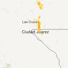

Connect with Interactive Hail Maps