

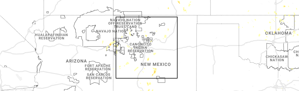
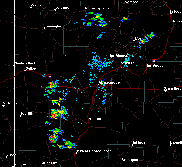
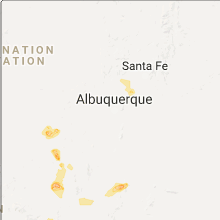
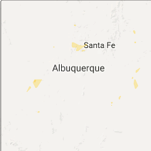
Hail Map for Homestead, NM
The Homestead, NM area has had 0 reports of on-the-ground hail by trained spotters, and has been under severe weather warnings 3 times during the past 12 months. Doppler radar has detected hail at or near Homestead, NM on 7 occasions, including 1 occasion during the past year.
| Name: | Homestead, NM |
| Where Located: | 95.8 miles SW of Albuquerque, NM |
| Map: | Google Map for Homestead, NM |
| Population: | 47 |
| Housing Units: | 68 |
| More Info: | Search Google for Homestead, NM |
0
The Top Recent Hail Date for Homestead, NM is Tuesday, June 6, 2023 (3rd out of 7)
Hail and Wind Damage Spotted near Homestead, NM
| Date / Time | Report Details |
|---|---|
| 6/6/2023 3:57 PM MDT |
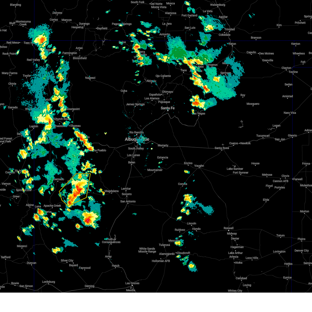 The severe thunderstorm warning for northeastern catron county will expire at 400 pm mdt, the storm that prompted the warning has weakened below severe limits, and no longer poses an immediate threat to life or property. therefore, the warning will be allowed to expire. however small hail is still possible with this thunderstorm. The severe thunderstorm warning for northeastern catron county will expire at 400 pm mdt, the storm that prompted the warning has weakened below severe limits, and no longer poses an immediate threat to life or property. therefore, the warning will be allowed to expire. however small hail is still possible with this thunderstorm.
|
| 6/6/2023 3:20 PM MDT |
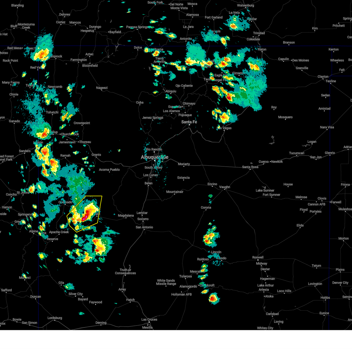 At 319 pm mdt, a severe thunderstorm was located 7 miles southeast of pietown, or 12 miles northwest of datil, moving north at 15 mph (radar indicated). Hazards include golf ball size hail and 60 mph wind gusts. People and animals outdoors will be injured. expect hail damage to roofs, siding, windows, and vehicles. expect wind damage to roofs, siding, and trees. locations impacted include, datil, old horse springs and pietown. this includes highway 60 between mile markers 48 and 78. thunderstorm damage threat, considerable hail threat, radar indicated max hail size, 1. 75 in wind threat, radar indicated max wind gust, 60 mph. At 319 pm mdt, a severe thunderstorm was located 7 miles southeast of pietown, or 12 miles northwest of datil, moving north at 15 mph (radar indicated). Hazards include golf ball size hail and 60 mph wind gusts. People and animals outdoors will be injured. expect hail damage to roofs, siding, windows, and vehicles. expect wind damage to roofs, siding, and trees. locations impacted include, datil, old horse springs and pietown. this includes highway 60 between mile markers 48 and 78. thunderstorm damage threat, considerable hail threat, radar indicated max hail size, 1. 75 in wind threat, radar indicated max wind gust, 60 mph.
|
| 6/6/2023 3:13 PM MDT |
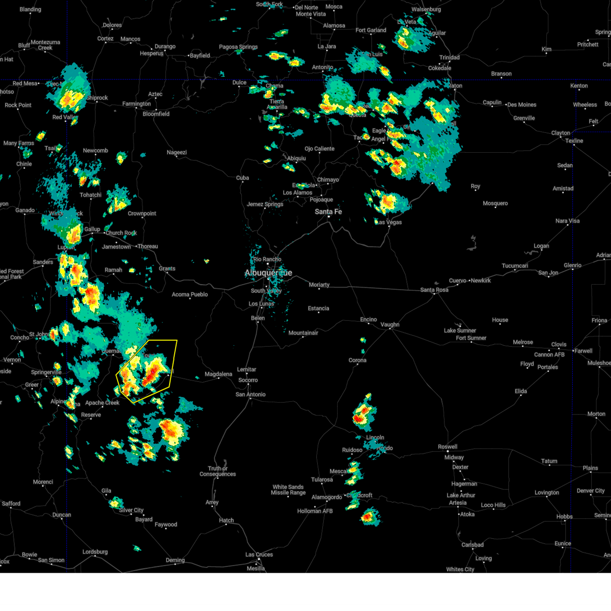 At 312 pm mdt, a severe thunderstorm was located 9 miles southeast of pietown, or 11 miles west of datil, moving northeast at 10 mph (radar indicated). Hazards include 60 mph wind gusts and quarter size hail. Hail damage to vehicles is expected. Expect wind damage to roofs, siding, and trees. At 312 pm mdt, a severe thunderstorm was located 9 miles southeast of pietown, or 11 miles west of datil, moving northeast at 10 mph (radar indicated). Hazards include 60 mph wind gusts and quarter size hail. Hail damage to vehicles is expected. Expect wind damage to roofs, siding, and trees.
|
| 5/21/2018 11:06 AM MDT |
 At 1106 am mdt, a severe thunderstorm was located 7 miles northwest of datil, moving north at 25 mph (radar indicated). Hazards include ping pong ball size hail and 60 mph wind gusts. People and animals outdoors will be injured. expect hail damage to roofs, siding, windows, and vehicles. expect wind damage to roofs, siding, and trees. Locations impacted include, datil. At 1106 am mdt, a severe thunderstorm was located 7 miles northwest of datil, moving north at 25 mph (radar indicated). Hazards include ping pong ball size hail and 60 mph wind gusts. People and animals outdoors will be injured. expect hail damage to roofs, siding, windows, and vehicles. expect wind damage to roofs, siding, and trees. Locations impacted include, datil.
|
Hail Maps for Homestead, NM


Connect with Interactive Hail Maps