

Hail Map for Hyampom, CA
The Hyampom, CA area has had 0 reports of on-the-ground hail by trained spotters, and has been under severe weather warnings 0 times during the past 12 months. Doppler radar has detected hail at or near Hyampom, CA on 4 occasions.
| Name: | Hyampom, CA |
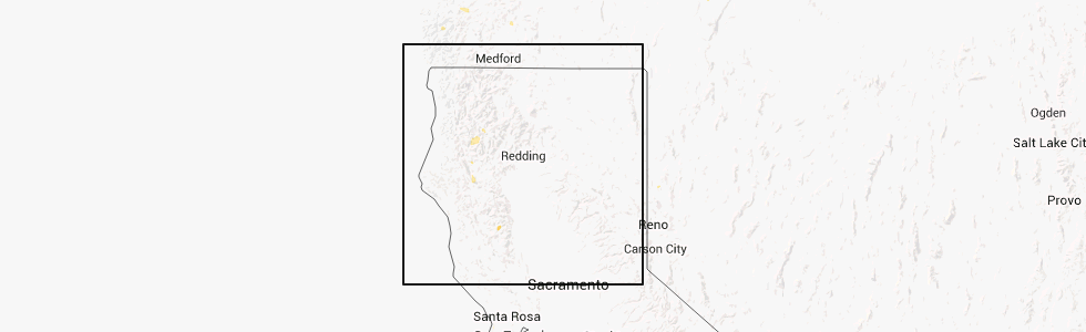
| Where Located: | 56.7 miles W of Redding, CA |
| Map: | Google Map for Hyampom, CA |
| Population: | 241 |
| Housing Units: | 181 |
| More Info: | Search Google for Hyampom, CA |
5
The Top Recent Hail Date for Hyampom, CA is Friday, August 9, 2013 (1st out of 4)
Hail and Wind Damage Spotted near Hyampom, CA
| Date / Time | Report Details |
|---|---|
| 9/6/2017 4:51 PM PDT |
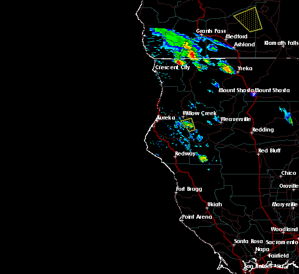 At 450 pm pdt, a severe thunderstorm was located 7 miles northwest of hyampom, or 17 miles south of willow creek, moving north at 25 mph (radar indicated). Hazards include quarter size hail. damage to vehicles is expected At 450 pm pdt, a severe thunderstorm was located 7 miles northwest of hyampom, or 17 miles south of willow creek, moving north at 25 mph (radar indicated). Hazards include quarter size hail. damage to vehicles is expected
|
| 7/8/2015 5:50 PM PDT |
 At 549 pm pdt, doppler radar indicated a severe thunderstorm capable of producing damaging winds in excess of 60 mph. this storm was located over hayfork, and moving northwest at 15 mph. nickel size hail may also accompany the damaging winds. At 549 pm pdt, doppler radar indicated a severe thunderstorm capable of producing damaging winds in excess of 60 mph. this storm was located over hayfork, and moving northwest at 15 mph. nickel size hail may also accompany the damaging winds.
|
Hail Maps for Hyampom, CA


Connect with Interactive Hail Maps