

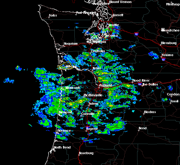
Hail Map for Ilwaco, WA
The Ilwaco, WA area has had 0 reports of on-the-ground hail by trained spotters, and has been under severe weather warnings 0 times during the past 12 months. Doppler radar has detected hail at or near Ilwaco, WA on 1 occasion.
| Name: | Ilwaco, WA |
| Where Located: | 85.4 miles NW of Portland, OR |
| Map: | Google Map for Ilwaco, WA |
| Population: | 936 |
| Housing Units: | 567 |
| More Info: | Search Google for Ilwaco, WA |
0
The Top Recent Hail Date for Ilwaco, WA is Friday, October 14, 2016 (1st out of 1)

Hail and Wind Damage Spotted near Ilwaco, WA
| Date / Time | Report Details |
|---|---|
| 10/24/2021 8:00 PM PDT | Storm damage reported in pacific county WA, 1.9 miles NE of Ilwaco, WA |
| 9/18/2017 4:15 PM PDT |
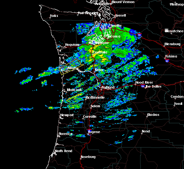
 At 414 pm pdt, a severe thunderstorm was located near hammond town, or near warrenton, moving northeast at 20 mph (radar indicated). Hazards include 60 mph wind gusts and quarter size hail. Hail damage to vehicles is expected. Expect wind damage to roofs, siding, and trees. At 414 pm pdt, a severe thunderstorm was located near hammond town, or near warrenton, moving northeast at 20 mph (radar indicated). Hazards include 60 mph wind gusts and quarter size hail. Hail damage to vehicles is expected. Expect wind damage to roofs, siding, and trees.
|
| 9/18/2017 4:15 PM PDT |
 At 414 pm pdt, a severe thunderstorm was located near hammond town, or near warrenton, moving northeast at 20 mph (radar indicated). Hazards include 60 mph wind gusts and quarter size hail. Hail damage to vehicles is expected. Expect wind damage to roofs, siding, and trees. At 414 pm pdt, a severe thunderstorm was located near hammond town, or near warrenton, moving northeast at 20 mph (radar indicated). Hazards include 60 mph wind gusts and quarter size hail. Hail damage to vehicles is expected. Expect wind damage to roofs, siding, and trees.
|
| 9/18/2017 4:04 PM PDT |
 At 403 pm pdt, a severe thunderstorm capable of producing a tornado was located near ilwaco, or 7 miles northwest of warrenton, moving northeast at 20 mph (radar indicated rotation). Hazards include tornado and quarter size hail. Flying debris will be dangerous to those caught without shelter. mobile homes will be damaged or destroyed. damage to roofs, windows, and vehicles will occur. tree damage is likely. this tornadic thunderstorm will remain over mainly rural areas of northwestern clatsop and southwestern pacific counties, including the following locations: seaview and hammond. in washington this includes u. s. Highway 101 between mile markers 11 and 14. At 403 pm pdt, a severe thunderstorm capable of producing a tornado was located near ilwaco, or 7 miles northwest of warrenton, moving northeast at 20 mph (radar indicated rotation). Hazards include tornado and quarter size hail. Flying debris will be dangerous to those caught without shelter. mobile homes will be damaged or destroyed. damage to roofs, windows, and vehicles will occur. tree damage is likely. this tornadic thunderstorm will remain over mainly rural areas of northwestern clatsop and southwestern pacific counties, including the following locations: seaview and hammond. in washington this includes u. s. Highway 101 between mile markers 11 and 14.
|
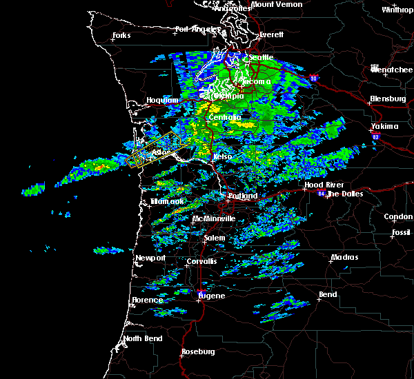
| 9/18/2017 3:42 PM PDT |
 At 340 pm pdt, a severe thunderstorm capable of producing a tornado was located 9 miles southwest of ilwaco, or 10 miles west of warrenton, moving northeast at 20 mph (radar indicated rotation). Hazards include tornado and quarter size hail. Flying debris will be dangerous to those caught without shelter. mobile homes will be damaged or destroyed. damage to roofs, windows, and vehicles will occur. tree damage is likely. this dangerous storm will be near, warrenton and hammond town around 405 pm pdt. ilwaco around 410 pm pdt. other locations impacted by this tornadic thunderstorm include seaview and hammond. in washington this includes u. s. Highway 101 between mile markers 11 and 14. At 340 pm pdt, a severe thunderstorm capable of producing a tornado was located 9 miles southwest of ilwaco, or 10 miles west of warrenton, moving northeast at 20 mph (radar indicated rotation). Hazards include tornado and quarter size hail. Flying debris will be dangerous to those caught without shelter. mobile homes will be damaged or destroyed. damage to roofs, windows, and vehicles will occur. tree damage is likely. this dangerous storm will be near, warrenton and hammond town around 405 pm pdt. ilwaco around 410 pm pdt. other locations impacted by this tornadic thunderstorm include seaview and hammond. in washington this includes u. s. Highway 101 between mile markers 11 and 14.
|
| 10/14/2016 11:47 AM PDT |
 At 1147 am pdt, doppler radar indicated a line of severe thunderstorms capable of producing destructive winds in excess of 70 mph. these storms were located along a line extending from 7 miles southeast of frances to ilwaco, and moving northeast at 50 mph. At 1147 am pdt, doppler radar indicated a line of severe thunderstorms capable of producing destructive winds in excess of 70 mph. these storms were located along a line extending from 7 miles southeast of frances to ilwaco, and moving northeast at 50 mph.
|
| 10/14/2016 11:36 AM PDT |
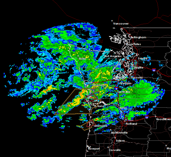
 At 1136 am pdt, doppler radar indicated a severe thunderstorm capable of producing destructive winds in excess of 70 mph. this storm was located near grays river, moving northeast at 65 mph. penny size hail may also accompany the damaging winds. locations impacted include, astoria, warrenton, grays river, frances, naselle, hammond town, rosburg, lebam, deep river, megler, pillar rock, altoona, knappton, hammond and chinook. this includes the following highways in washington, u. s. highway 101 between mile markers 1 and 7. state route 4 between mile markers 4 and 28. state route 6 between mile markers 15 and 20. this includes the following highways in oregon, u.s. highway 30 west of portland between mile markers 89 and 99. u.s. highway 101 between mile markers 1 and 15. At 1136 am pdt, doppler radar indicated a severe thunderstorm capable of producing destructive winds in excess of 70 mph. this storm was located near grays river, moving northeast at 65 mph. penny size hail may also accompany the damaging winds. locations impacted include, astoria, warrenton, grays river, frances, naselle, hammond town, rosburg, lebam, deep river, megler, pillar rock, altoona, knappton, hammond and chinook. this includes the following highways in washington, u. s. highway 101 between mile markers 1 and 7. state route 4 between mile markers 4 and 28. state route 6 between mile markers 15 and 20. this includes the following highways in oregon, u.s. highway 30 west of portland between mile markers 89 and 99. u.s. highway 101 between mile markers 1 and 15.
|
| 10/14/2016 11:36 AM PDT |
 At 1136 am pdt, doppler radar indicated a severe thunderstorm capable of producing destructive winds in excess of 70 mph. this storm was located near grays river, moving northeast at 65 mph. penny size hail may also accompany the damaging winds. locations impacted include, astoria, warrenton, grays river, frances, naselle, hammond town, rosburg, lebam, deep river, megler, pillar rock, altoona, knappton, hammond and chinook. this includes the following highways in washington, u. s. highway 101 between mile markers 1 and 7. state route 4 between mile markers 4 and 28. state route 6 between mile markers 15 and 20. this includes the following highways in oregon, u.s. highway 30 west of portland between mile markers 89 and 99. u.s. highway 101 between mile markers 1 and 15. At 1136 am pdt, doppler radar indicated a severe thunderstorm capable of producing destructive winds in excess of 70 mph. this storm was located near grays river, moving northeast at 65 mph. penny size hail may also accompany the damaging winds. locations impacted include, astoria, warrenton, grays river, frances, naselle, hammond town, rosburg, lebam, deep river, megler, pillar rock, altoona, knappton, hammond and chinook. this includes the following highways in washington, u. s. highway 101 between mile markers 1 and 7. state route 4 between mile markers 4 and 28. state route 6 between mile markers 15 and 20. this includes the following highways in oregon, u.s. highway 30 west of portland between mile markers 89 and 99. u.s. highway 101 between mile markers 1 and 15.
|
| 10/14/2016 11:11 AM PDT |
 At 1110 am pdt, doppler radar indicated a severe thunderstorm capable of producing destructive winds in excess of 70 mph. a tornado is also possible wit this storm. this storm was located near warrenton, and moving northeast at 65 mph. penny size hail may also accompany the damaging winds. At 1110 am pdt, doppler radar indicated a severe thunderstorm capable of producing destructive winds in excess of 70 mph. a tornado is also possible wit this storm. this storm was located near warrenton, and moving northeast at 65 mph. penny size hail may also accompany the damaging winds.
|
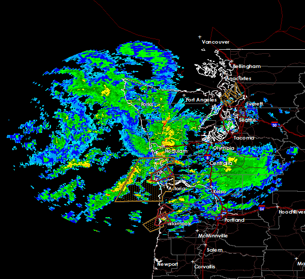
| 10/14/2016 9:25 AM PDT |
 At 924 am pdt, doppler radar indicated a severe thunderstorm capable of producing a tornado. this dangerous storm was located near ilwaco, or near long beach, moving northeast at 60 mph. locations impacted include, long beach, ilwaco, naselle, nemah, oceanside and seaview. this includes the following highways in washington, u. s. highway 101 between mile markers 8 and 35. state route 4 between mile markers 1 and 6. At 924 am pdt, doppler radar indicated a severe thunderstorm capable of producing a tornado. this dangerous storm was located near ilwaco, or near long beach, moving northeast at 60 mph. locations impacted include, long beach, ilwaco, naselle, nemah, oceanside and seaview. this includes the following highways in washington, u. s. highway 101 between mile markers 8 and 35. state route 4 between mile markers 1 and 6.
|
| 10/14/2016 9:11 AM PDT |
 At 910 am pdt, doppler radar indicated a severe thunderstorm capable of producing a tornado. this dangerous storm was located 10 miles southwest of ilwaco, or 11 miles southwest of long beach, and moving northeast at 60 mph. At 910 am pdt, doppler radar indicated a severe thunderstorm capable of producing a tornado. this dangerous storm was located 10 miles southwest of ilwaco, or 11 miles southwest of long beach, and moving northeast at 60 mph.
|
| 10/14/2016 4:26 AM PDT |
 At 425 am pdt, doppler radar indicated a severe thunderstorm capable of producing a tornado. this dangerous storm was located over ilwaco, or near long beach, and moving northeast at 50 mph. At 425 am pdt, doppler radar indicated a severe thunderstorm capable of producing a tornado. this dangerous storm was located over ilwaco, or near long beach, and moving northeast at 50 mph.
|
Hail Maps for Ilwaco, WA
Connect with Interactive Hail Maps