

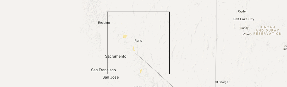
Hail Map for Indian Falls, CA
The Indian Falls, CA area has had 0 reports of on-the-ground hail by trained spotters, and has been under severe weather warnings 1 time during the past 12 months. Doppler radar has detected hail at or near Indian Falls, CA on 2 occasions.
| Name: | Indian Falls, CA |
| Where Located: | 71.9 miles WNW of Reno, NV |
| Map: | Google Map for Indian Falls, CA |
| Population: | 54 |
| Housing Units: | 33 |
| More Info: | Search Google for Indian Falls, CA |
0
The Top Recent Hail Date for Indian Falls, CA is Wednesday, August 2, 2017 (2nd out of 2)
Hail and Wind Damage Spotted near Indian Falls, CA
| Date / Time | Report Details |
|---|---|
| 6/11/2023 6:30 PM PDT |
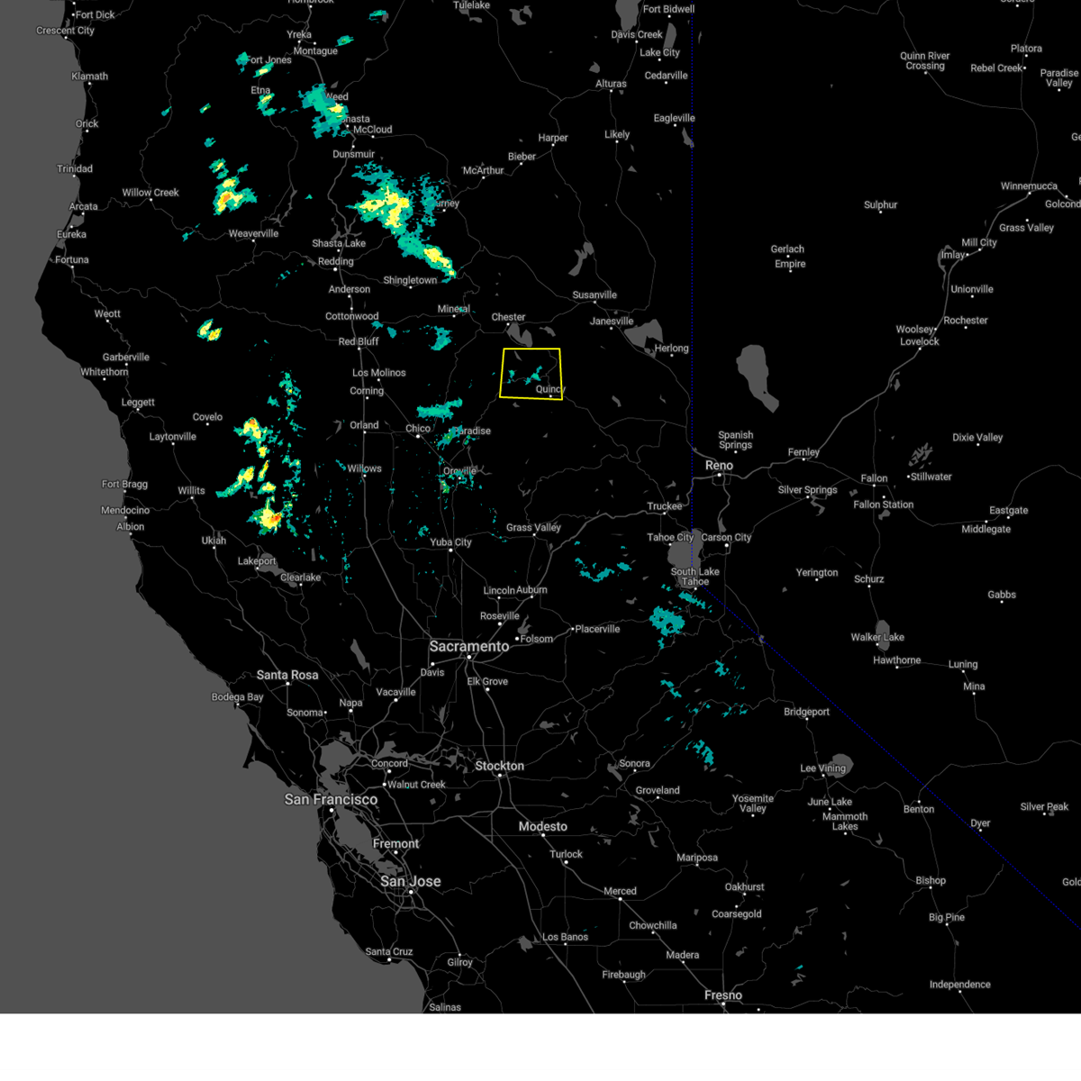 At 630 pm pdt, a severe thunderstorm was located over twain, or 8 miles northwest of quincy, and is nearly stationary (radar indicated). Hazards include half dollar size hail. damage to vehicles is expected At 630 pm pdt, a severe thunderstorm was located over twain, or 8 miles northwest of quincy, and is nearly stationary (radar indicated). Hazards include half dollar size hail. damage to vehicles is expected
|
| 6/5/2016 6:27 PM PDT |
 At 626 pm pdt, doppler radar indicated a severe thunderstorm capable of producing quarter size hail and damaging winds in excess of 60 mph. this storm was located over canyondam, or 9 miles southeast of chester, and moving southwest at 10 mph. At 626 pm pdt, doppler radar indicated a severe thunderstorm capable of producing quarter size hail and damaging winds in excess of 60 mph. this storm was located over canyondam, or 9 miles southeast of chester, and moving southwest at 10 mph.
|
Hail Maps for Indian Falls, CA

Connect with Interactive Hail Maps