

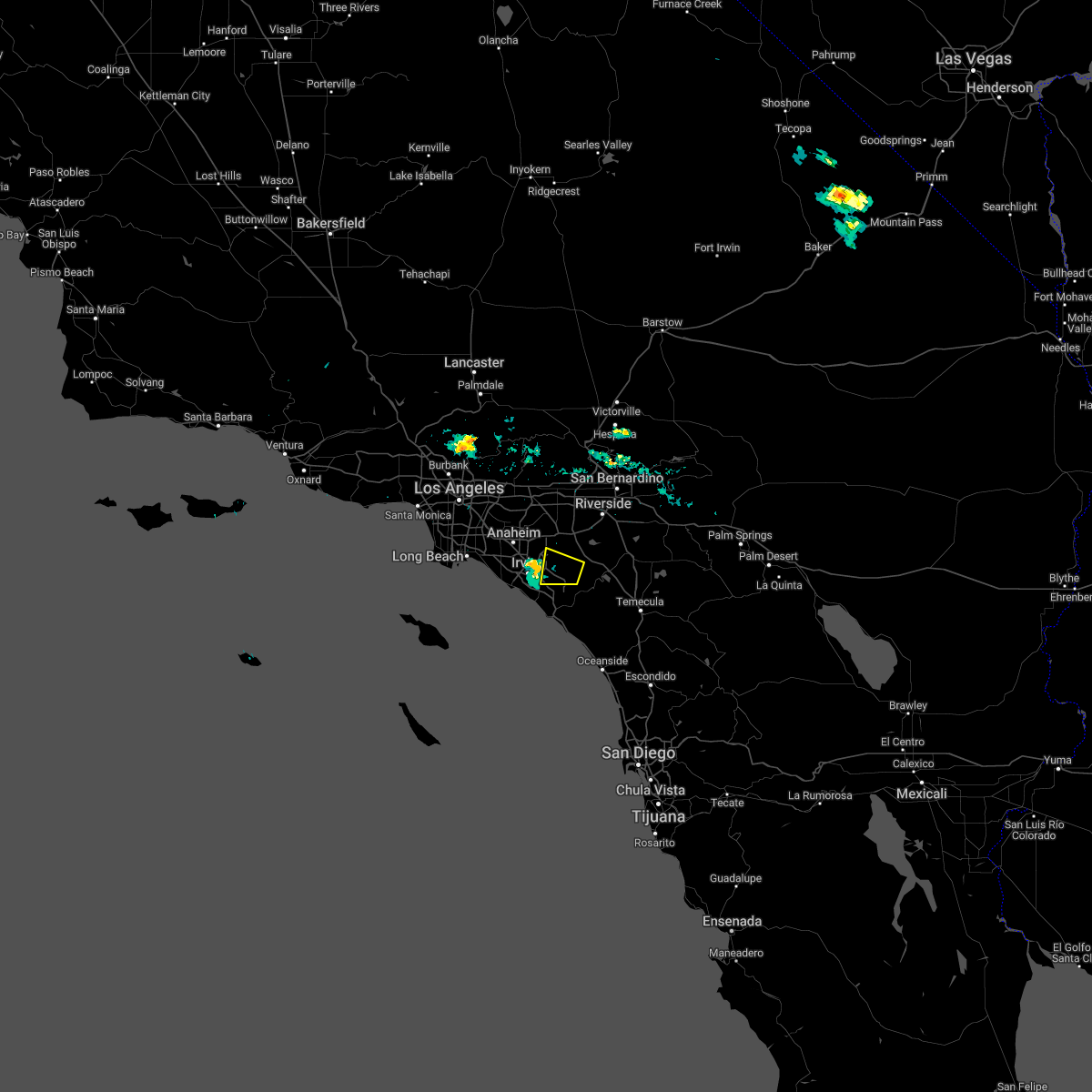
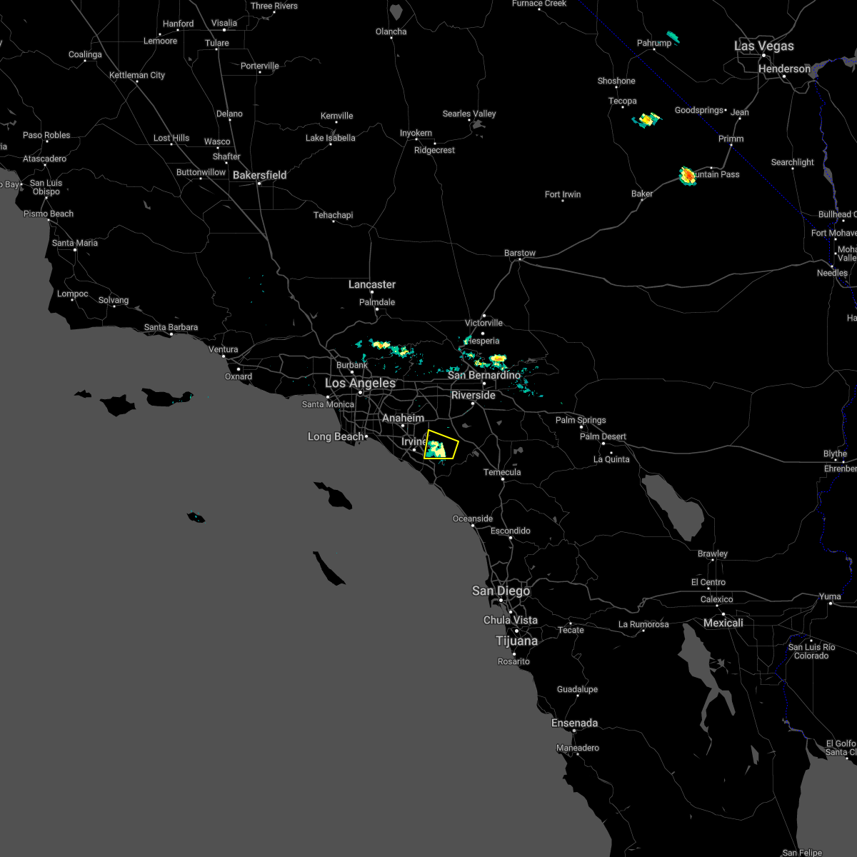
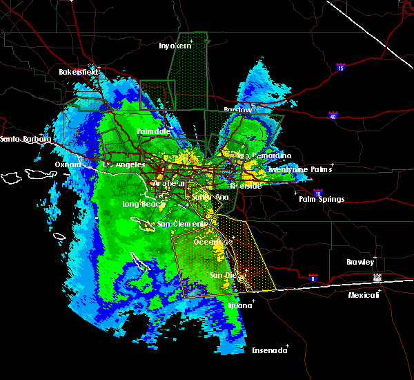
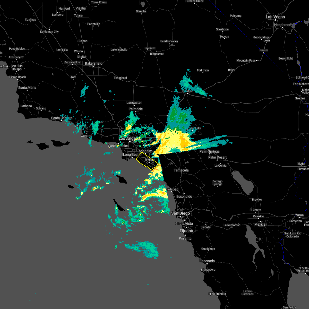
Hail Map for Irvine, CA
The Irvine, CA area has had 0 reports of on-the-ground hail by trained spotters, and has been under severe weather warnings 0 times during the past 12 months. Doppler radar has detected hail at or near Irvine, CA on 1 occasion.
| Name: | Irvine, CA |
| Where Located: | 36.7 miles SE of Los Angeles, CA |
| Map: | Google Map for Irvine, CA |
| Population: | 212375 |
| Housing Units: | 83899 |
| More Info: | Search Google for Irvine, CA |
0
The Top Recent Hail Date for Irvine, CA is Saturday, September 10, 2011 (1st out of 1)

Hail and Wind Damage Spotted near Irvine, CA
| Date / Time | Report Details |
|---|---|
| 9/3/2022 3:10 PM PDT |
 The severe thunderstorm warning for riverside and east central orange counties will expire at 315 pm pdt, the severe thunderstorm which prompted the warning has moved out of the warned area. therefore, the warning will be allowed to expire. The severe thunderstorm warning for riverside and east central orange counties will expire at 315 pm pdt, the severe thunderstorm which prompted the warning has moved out of the warned area. therefore, the warning will be allowed to expire.
|
| 9/3/2022 2:32 PM PDT |
 At 232 pm pdt, a severe thunderstorm was located over trabuco canyon, or 8 miles northeast of mission viejo, moving west at 20 mph (radar indicated). Hazards include 60 mph wind gusts and penny size hail. expect damage to roofs, siding, and trees At 232 pm pdt, a severe thunderstorm was located over trabuco canyon, or 8 miles northeast of mission viejo, moving west at 20 mph (radar indicated). Hazards include 60 mph wind gusts and penny size hail. expect damage to roofs, siding, and trees
|
| 12/26/2019 12:11 AM PST |
 At 1211 am pst, a severe thunderstorm capable of producing a tornado was located near john wayne airport, or over costa mesa, moving north at 35 mph (radar indicated rotation). Hazards include tornado. Flying debris will be dangerous to those caught without shelter. mobile homes will be damaged or destroyed. damage to roofs, windows, and vehicles will occur. tree damage is likely. Locations impacted include, santa ana, irvine, garden grove, orange, costa mesa, tustin, newport beach, westminster, fountain valley and john wayne airport. At 1211 am pst, a severe thunderstorm capable of producing a tornado was located near john wayne airport, or over costa mesa, moving north at 35 mph (radar indicated rotation). Hazards include tornado. Flying debris will be dangerous to those caught without shelter. mobile homes will be damaged or destroyed. damage to roofs, windows, and vehicles will occur. tree damage is likely. Locations impacted include, santa ana, irvine, garden grove, orange, costa mesa, tustin, newport beach, westminster, fountain valley and john wayne airport.
|
| 12/26/2019 12:05 AM PST |
 At 1204 am pst, a severe thunderstorm capable of producing a tornado was located northwest of laguna beach, or near newport beach, moving north at 35 mph (radar indicated rotation). Hazards include tornado. Flying debris will be dangerous to those caught without shelter. mobile homes will be damaged or destroyed. damage to roofs, windows, and vehicles will occur. Tree damage is likely. At 1204 am pst, a severe thunderstorm capable of producing a tornado was located northwest of laguna beach, or near newport beach, moving north at 35 mph (radar indicated rotation). Hazards include tornado. Flying debris will be dangerous to those caught without shelter. mobile homes will be damaged or destroyed. damage to roofs, windows, and vehicles will occur. Tree damage is likely.
|
| 2/17/2017 6:28 PM PST |
 At 625 pm pst, doppler radar indicated severe thunderstorms capable of producing damaging winds in excess of 60 mph over eastern orange county in the santa ana canyons. there are reports of numerous trees down in laguna beach at 600 pm. in addition, dangerous flooding is occurring. this line of storms is moving east at 15 mph. locations impacted include, santa ana, irvine, orange, mission viejo, tustin, yorba linda, dana point, laguna beach, san clemente, fullerton, anaheim, laguna niguel, placentia, rancho santa margarita and aliso viejo. At 625 pm pst, doppler radar indicated severe thunderstorms capable of producing damaging winds in excess of 60 mph over eastern orange county in the santa ana canyons. there are reports of numerous trees down in laguna beach at 600 pm. in addition, dangerous flooding is occurring. this line of storms is moving east at 15 mph. locations impacted include, santa ana, irvine, orange, mission viejo, tustin, yorba linda, dana point, laguna beach, san clemente, fullerton, anaheim, laguna niguel, placentia, rancho santa margarita and aliso viejo.
|
| 2/17/2017 5:48 PM PST |
 At 546 pm pst, nws doppler radar indicated a line of severe thunderstorms moving through laguna beach and irvine. this line of heavy rain and high wind will move across orange county and into the santa ana foothills producing damaging winds. winds will decrease rapidly after the storms move through. At 546 pm pst, nws doppler radar indicated a line of severe thunderstorms moving through laguna beach and irvine. this line of heavy rain and high wind will move across orange county and into the santa ana foothills producing damaging winds. winds will decrease rapidly after the storms move through.
|
| 2/17/2017 4:51 PM PST |
 At 448 pm pst, nws doppler radar indicated a line of severe thunderstorms capable of producing damaging winds in excess of 65 mph. these storms were located along a line extending from los alamitos and huntington beach to offshore 20 miles west of san clemente, and moving east at 15 mph. wind gusts of 65 mph are expected with the line of heavy rain. At 448 pm pst, nws doppler radar indicated a line of severe thunderstorms capable of producing damaging winds in excess of 65 mph. these storms were located along a line extending from los alamitos and huntington beach to offshore 20 miles west of san clemente, and moving east at 15 mph. wind gusts of 65 mph are expected with the line of heavy rain.
|
| 1/20/2017 1:12 PM PST |
 The severe thunderstorm warning for northwestern orange county will expire at 115 pm pst, the storm which prompted the warning has weakened below severe limits and exited the warned area. therefore the warning will be allowed to expire. however gusty winds are still possible with this thunderstorm. The severe thunderstorm warning for northwestern orange county will expire at 115 pm pst, the storm which prompted the warning has weakened below severe limits and exited the warned area. therefore the warning will be allowed to expire. however gusty winds are still possible with this thunderstorm.
|
| 1/20/2017 12:52 PM PST |
 At 1251 pm pst, doppler radar indicated a severe thunderstorm capable of producing damaging winds in excess of 60 mph. this storm was located 12 miles southwest of huntington beach, and moving east at 40 mph. At 1251 pm pst, doppler radar indicated a severe thunderstorm capable of producing damaging winds in excess of 60 mph. this storm was located 12 miles southwest of huntington beach, and moving east at 40 mph.
|
| 1/20/2017 12:38 PM PST |
 At 1234 pm pst, doppler radar indicated a severe thunderstorm capable of producing damaging winds in excess of 60 mph. this storm was located 9 miles east of two harbors, and moving eastnortheast at 35 mph. At 1234 pm pst, doppler radar indicated a severe thunderstorm capable of producing damaging winds in excess of 60 mph. this storm was located 9 miles east of two harbors, and moving eastnortheast at 35 mph.
|
| 3/7/2016 7:43 AM PST |
 At 740 am pst, doppler radar indicated a line of severe thunderstorms capable of producing damaging wind gusts of 45 to 60 mph over eastern orange county. this line of storms was located near canyon lake, moving east at 30 mph. the storms will progress eastward over the next hour, impacting the inland empire and northwest san diego county. locations impacted include but are not limited to, riverside, san bernardino, oceanside, ontario, irvine, moreno valley, corona, rialto, tustin, chino, redlands. At 740 am pst, doppler radar indicated a line of severe thunderstorms capable of producing damaging wind gusts of 45 to 60 mph over eastern orange county. this line of storms was located near canyon lake, moving east at 30 mph. the storms will progress eastward over the next hour, impacting the inland empire and northwest san diego county. locations impacted include but are not limited to, riverside, san bernardino, oceanside, ontario, irvine, moreno valley, corona, rialto, tustin, chino, redlands.
|
| 3/7/2016 7:10 AM PST |
 At 706 am pst, doppler radar indicated a line of severe thunderstorms capable of producing damaging wind gusts of 45 to 60 mph moving through central orange county. this line of storms was located near el toro, moving east at 35 mph. the stroms will progress eastward over the next hour, impacting the inland empire and northwest san diego county. locations impacted include, santa ana, anaheim, riverside, huntington beach, san bernardino, oceanside, ontario, irvine, fontana, orange, rancho cucamonga, corona, costa mesa, mission viejo, rialto. At 706 am pst, doppler radar indicated a line of severe thunderstorms capable of producing damaging wind gusts of 45 to 60 mph moving through central orange county. this line of storms was located near el toro, moving east at 35 mph. the stroms will progress eastward over the next hour, impacting the inland empire and northwest san diego county. locations impacted include, santa ana, anaheim, riverside, huntington beach, san bernardino, oceanside, ontario, irvine, fontana, orange, rancho cucamonga, corona, costa mesa, mission viejo, rialto.
|
| 3/7/2016 7:00 AM PST | Youtube video of tree damage in irvine at kazan street. numerous very large tree branches down...some on top of cars. tree branches look about a half foot in diameter w in orange county CA, 0.8 miles WSW of Irvine, CA |
| 3/7/2016 6:36 AM PST |
 At 635 am pst, doppler radar indicated a line of severe thunderstorms capable of producing damaging wind gusts of 45 to 60 mph approaching the orange county coast. the leading edge of the storms was located 5 miles southwest of seal beach, and moving east at 35 mph. At 635 am pst, doppler radar indicated a line of severe thunderstorms capable of producing damaging wind gusts of 45 to 60 mph approaching the orange county coast. the leading edge of the storms was located 5 miles southwest of seal beach, and moving east at 35 mph.
|
| 1/31/2016 2:51 PM PST |
 The severe thunderstorm warning for orange county will expire at 300 pm pst, the line of storms which prompted the warning have moved out of the area. therefore the warning will be allowed to expire. however gusty winds are still possible in the area following the passage of a cold front. The severe thunderstorm warning for orange county will expire at 300 pm pst, the line of storms which prompted the warning have moved out of the area. therefore the warning will be allowed to expire. however gusty winds are still possible in the area following the passage of a cold front.
|
| 1/31/2016 2:43 PM PST |
 At 236 pm pst, trained weather spotters reported a line of severe thunderstorms producing damaging winds. these storms have moved east out of orange county, and continue to move northeast at 35 mph. damaging winds up to 55 mph were reported in several locations around orange county with these storms. trained spotters have also reported numerous instances of downed tree limbs and power lines. locations impacted include, santa ana, anaheim, huntington beach, garden grove, irvine, orange, costa mesa, mission viejo, westminster, tustin, el toro, laguna niguel, yorba linda, fountain valley, san clemente, placentia, san juan capistrano, laguna hills, tustin foothills and laguna beach. At 236 pm pst, trained weather spotters reported a line of severe thunderstorms producing damaging winds. these storms have moved east out of orange county, and continue to move northeast at 35 mph. damaging winds up to 55 mph were reported in several locations around orange county with these storms. trained spotters have also reported numerous instances of downed tree limbs and power lines. locations impacted include, santa ana, anaheim, huntington beach, garden grove, irvine, orange, costa mesa, mission viejo, westminster, tustin, el toro, laguna niguel, yorba linda, fountain valley, san clemente, placentia, san juan capistrano, laguna hills, tustin foothills and laguna beach.
|
| 1/31/2016 1:55 PM PST | Spotter report in irvine in orange county CA, 1.6 miles ESE of Irvine, CA |
| 1/31/2016 1:38 PM PST |
 At 137 pm pst, doppler radar indicated a line of severe thunderstorms capable of producing damaging winds in excess of 60 mph. these storms were located along a line extending from near westminster to 14 miles southwest of laguna beach to 23 miles southeast of avalon, and moving northeast at 35 mph. At 137 pm pst, doppler radar indicated a line of severe thunderstorms capable of producing damaging winds in excess of 60 mph. these storms were located along a line extending from near westminster to 14 miles southwest of laguna beach to 23 miles southeast of avalon, and moving northeast at 35 mph.
|
| 1/6/2016 1:12 PM PST |
 At 106 pm pst, doppler radar indicated a severe thunderstorm capable of producing damaging winds in excess of 60 mph. this storm was located near corona, moving northeast at 20 mph. locations impacted include, santa ana, anaheim, riverside, garden grove, ontario, irvine, moreno valley, fontana, orange, corona, mission viejo, rialto, tustin, chino, el toro, yorba linda, colton, placentia, perris and laguna hills. At 106 pm pst, doppler radar indicated a severe thunderstorm capable of producing damaging winds in excess of 60 mph. this storm was located near corona, moving northeast at 20 mph. locations impacted include, santa ana, anaheim, riverside, garden grove, ontario, irvine, moreno valley, fontana, orange, corona, mission viejo, rialto, tustin, chino, el toro, yorba linda, colton, placentia, perris and laguna hills.
|
| 1/6/2016 12:46 PM PST |
 At 1244 pm pst, doppler radar indicated a severe thunderstorm capable of producing damaging winds in excess of 60 mph. this storm was located over southwestern corona, and moving northeast at 25 mph. a line of storms will be capable of severe wind and heavy rain. cities of tustin and norco are in the path of the severe storm. At 1244 pm pst, doppler radar indicated a severe thunderstorm capable of producing damaging winds in excess of 60 mph. this storm was located over southwestern corona, and moving northeast at 25 mph. a line of storms will be capable of severe wind and heavy rain. cities of tustin and norco are in the path of the severe storm.
|
| 2/28/2014 2:30 PM PST | John wayne airport officials reported a plane moved 3 feet from severe in orange county CA, 4.5 miles E of Irvine, CA |
Hail Maps for Irvine, CA

Connect with Interactive Hail Maps