

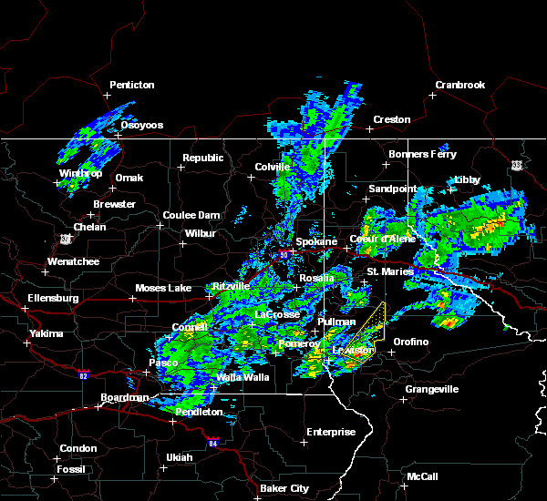
Hail Map for Juliaetta, ID
The Juliaetta, ID area has had 2 reports of on-the-ground hail by trained spotters, and has been under severe weather warnings 0 times during the past 12 months. Doppler radar has detected hail at or near Juliaetta, ID on 3 occasions.
| Name: | Juliaetta, ID |
| Where Located: | 53 miles NNW of Grangeville, ID |
| Map: | Google Map for Juliaetta, ID |
| Population: | 579 |
| Housing Units: | 294 |
| More Info: | Search Google for Juliaetta, ID |
0
The Top Recent Hail Date for Juliaetta, ID is Sunday, June 5, 2022 (3rd out of 3)

Hail and Wind Damage Spotted near Juliaetta, ID
| Date / Time | Report Details |
|---|---|
| 6/5/2022 1:37 PM PDT | Quarter sized hail reported 7 miles NNE of Juliaetta, ID, corrects previous hail report from 6 nne lapwai. |
| 6/12/2020 7:53 PM PDT |
 The severe thunderstorm warning for southwestern latah, northwestern nez perce, eastern garfield, southeastern whitman and northeastern asotin counties will expire at 800 pm pdt, the severe thunderstorm which prompted the warning has weakened slightly but still poses a threat for hail and heavy rainfall. therefore, the warning will be allowed to expire at 800 pm. small hail and heavy rain are still possible with this thunderstorm. The severe thunderstorm warning for southwestern latah, northwestern nez perce, eastern garfield, southeastern whitman and northeastern asotin counties will expire at 800 pm pdt, the severe thunderstorm which prompted the warning has weakened slightly but still poses a threat for hail and heavy rainfall. therefore, the warning will be allowed to expire at 800 pm. small hail and heavy rain are still possible with this thunderstorm.
|
| 6/12/2020 7:14 PM PDT |
 At 713 pm pdt, a severe thunderstorm was located over clarkston heights-vineland, or near clarkston, moving northeast at 20 mph (radar indicated). Hazards include 60 mph wind gusts and quarter size hail. Hail damage to vehicles is expected. Expect wind damage to roofs, siding, and trees. At 713 pm pdt, a severe thunderstorm was located over clarkston heights-vineland, or near clarkston, moving northeast at 20 mph (radar indicated). Hazards include 60 mph wind gusts and quarter size hail. Hail damage to vehicles is expected. Expect wind damage to roofs, siding, and trees.
|
| 6/8/2016 4:48 PM PDT |
 At 447 pm pdt, doppler radar indicated a severe thunderstorm capable of producing quarter size hail. this storm was located near juliaetta, or 11 miles northeast of lapwai, and moving northeast at 40 mph. * this severe thunderstorm will be near, bovill around 515 pm pdt. other locations impacted by this severe thunderstorm include lenore, gifford, helmer and southwick. At 447 pm pdt, doppler radar indicated a severe thunderstorm capable of producing quarter size hail. this storm was located near juliaetta, or 11 miles northeast of lapwai, and moving northeast at 40 mph. * this severe thunderstorm will be near, bovill around 515 pm pdt. other locations impacted by this severe thunderstorm include lenore, gifford, helmer and southwick.
|
| 6/1/2015 6:36 PM PDT | At 633 pm pdt, doppler radar indicated a severe thunderstorm capable of producing hail between nickels and quarters and damaging winds to 60 mph. this storm has a history of producing extremely heavy rainfall with spotters reporting just under an inch of rain in under 30 minutes. this storm was located between lenore and juliaetta, moving northeast at 45 mph. locations impacted include, genesee, troy, juliaetta, deary, kendrick, bovill, lenore, southwick, harvard, joel and helmer. |
| 6/1/2015 6:12 PM PDT | At 611 pm pdt, doppler radar indicated a line of severe thunderstorms capable of producing quarter to half dollar size hail and damaging winds to 60 mph. this storm was located near culdesac, or near lapwai, and moving northeast at 45 mph. there are multiple cells in this line capable of producing large hail. |
| 7/20/2012 12:48 PM PDT | Golf Ball sized hail reported 0.4 miles SSE of Juliaetta, ID, spotter la 34 slightly larger than golf ball size hail. |
Hail Maps for Juliaetta, ID


Connect with Interactive Hail Maps