

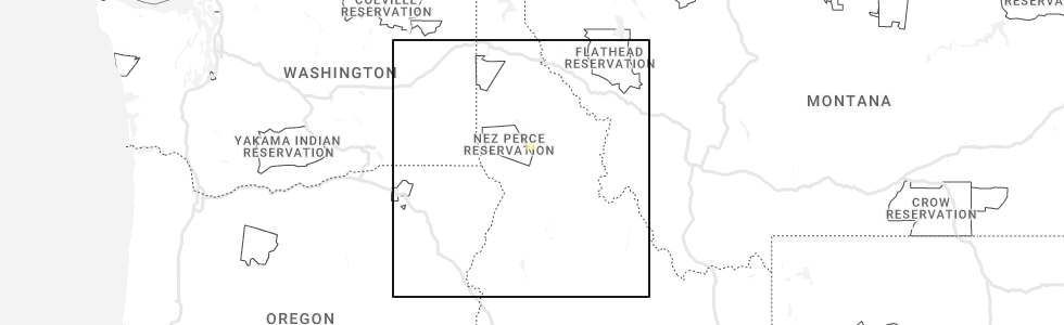
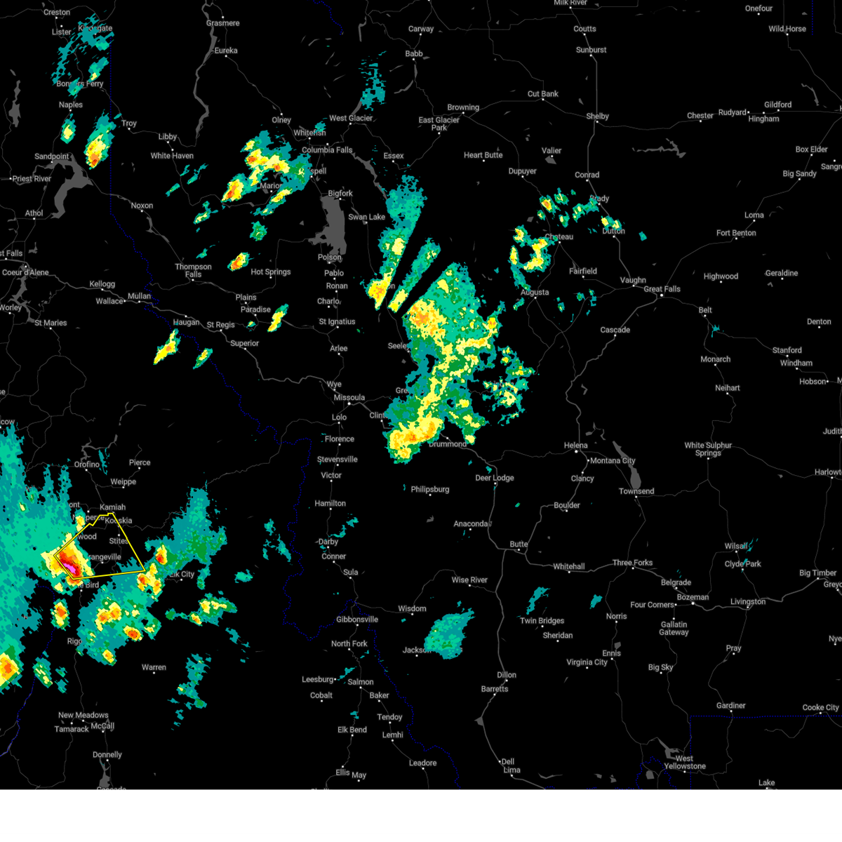
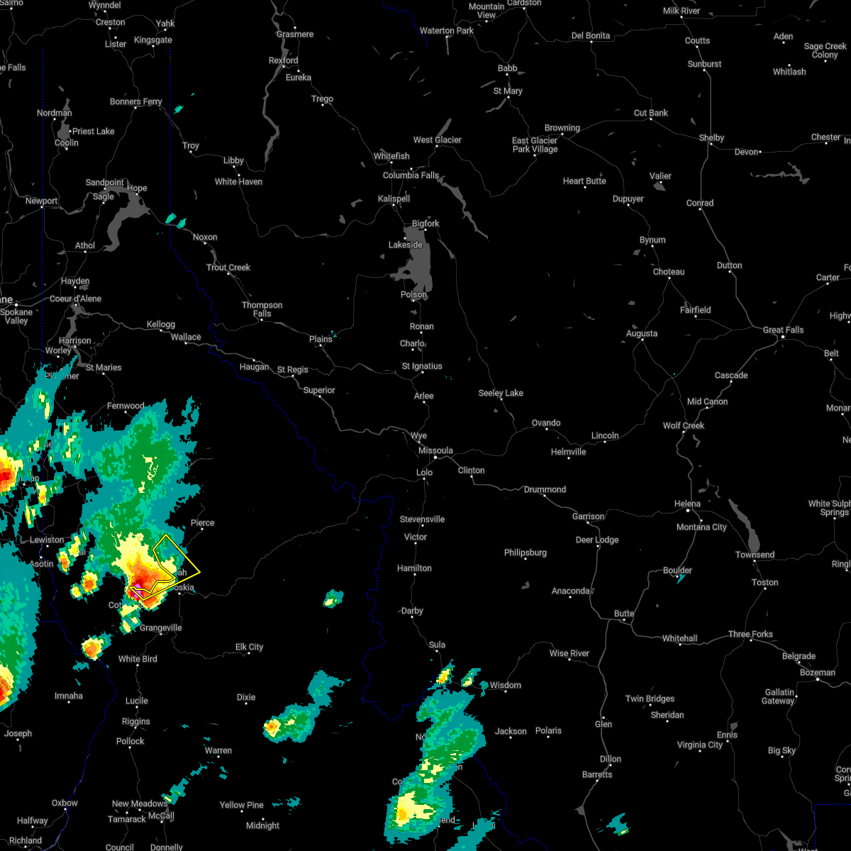
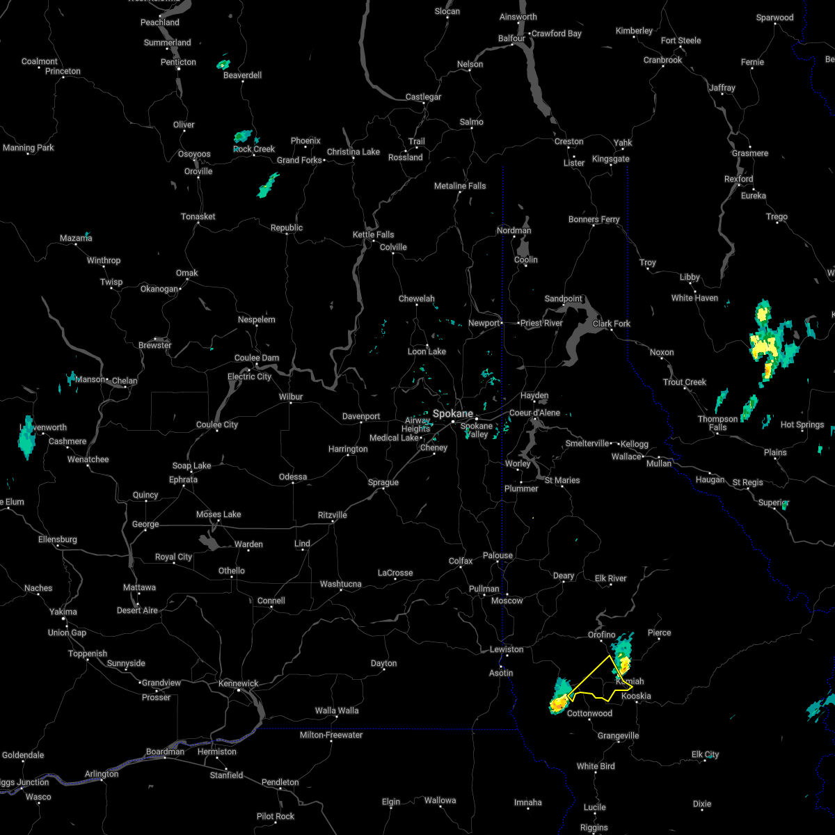
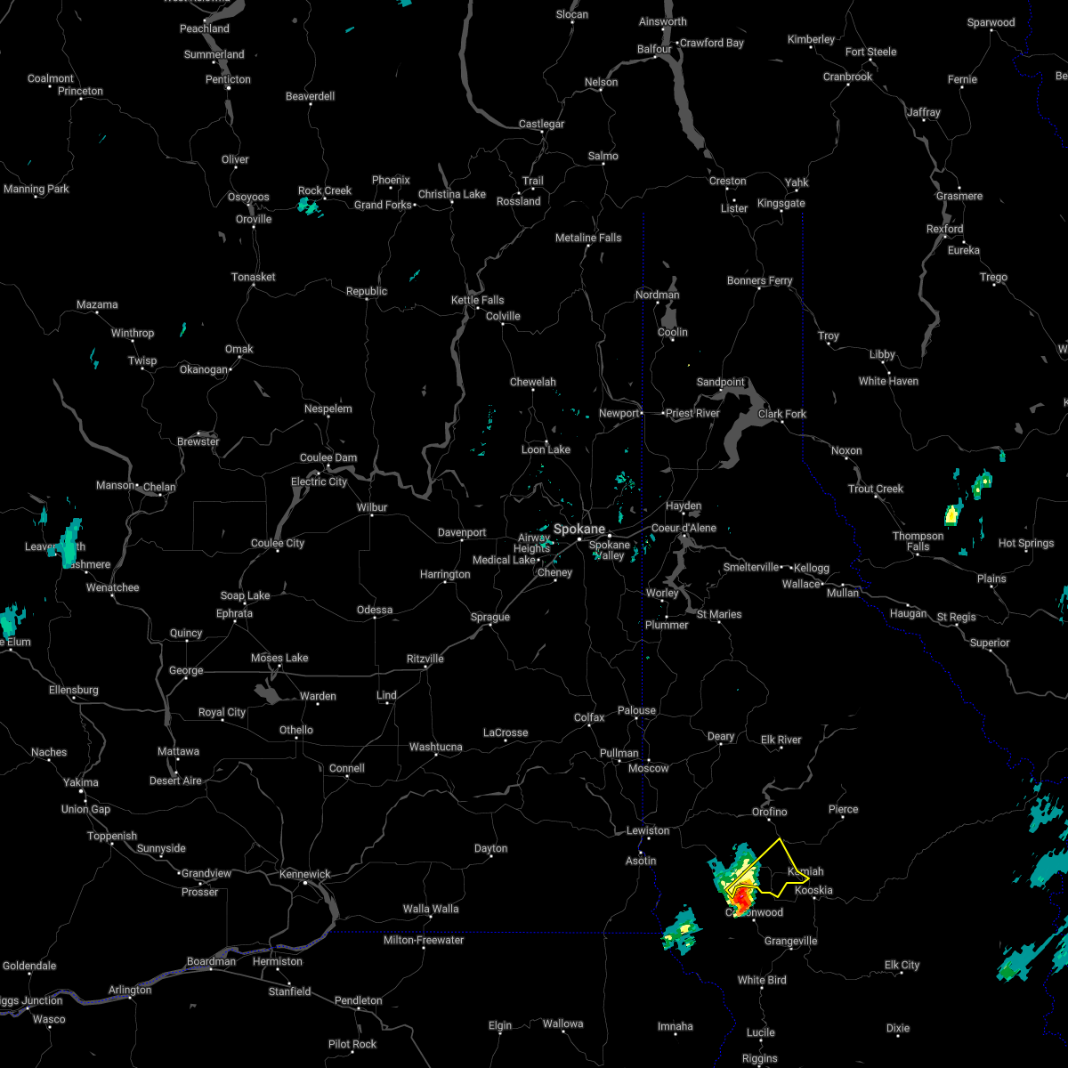
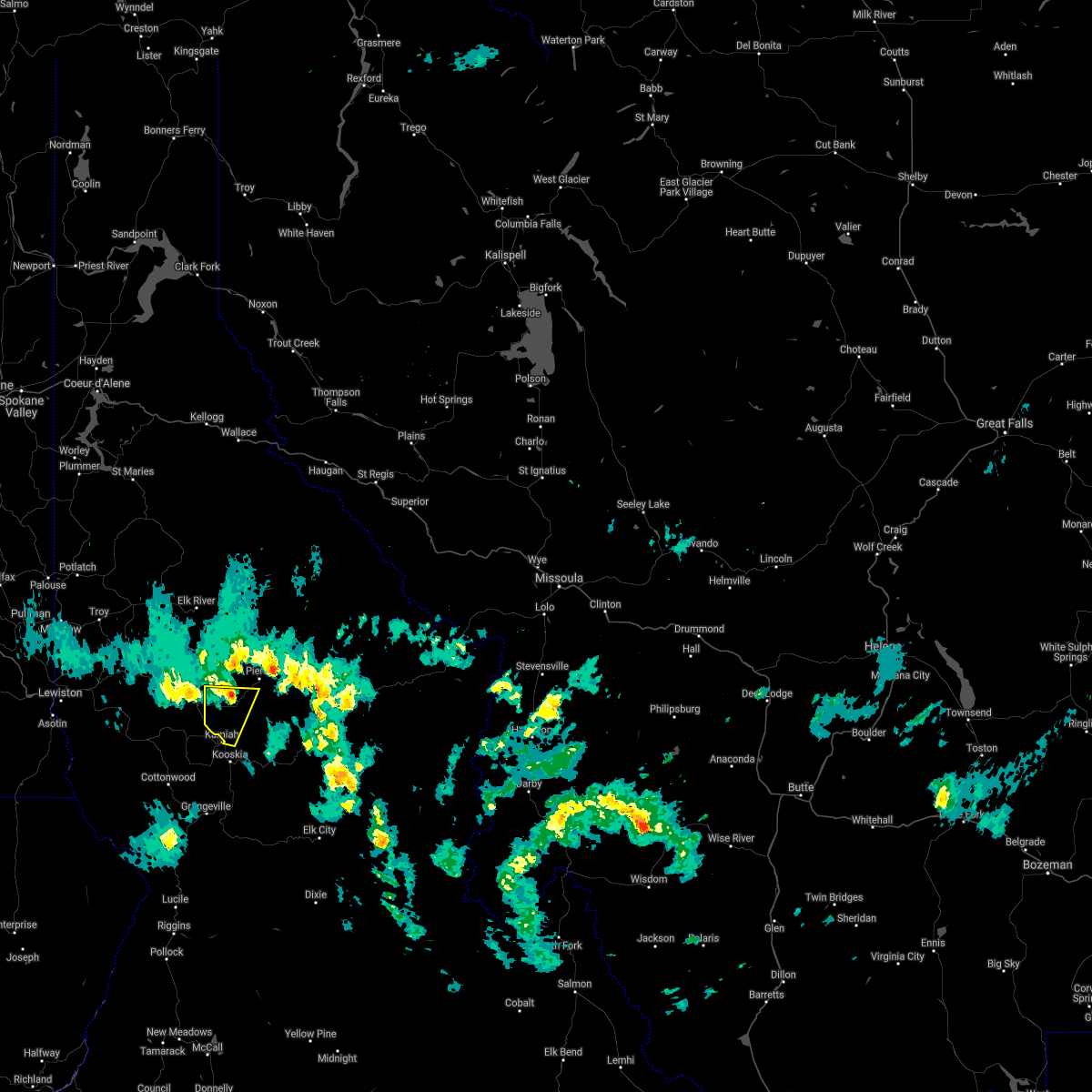
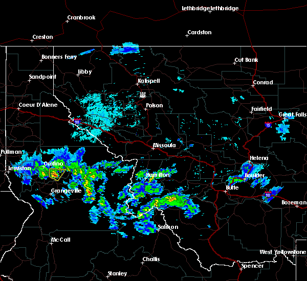
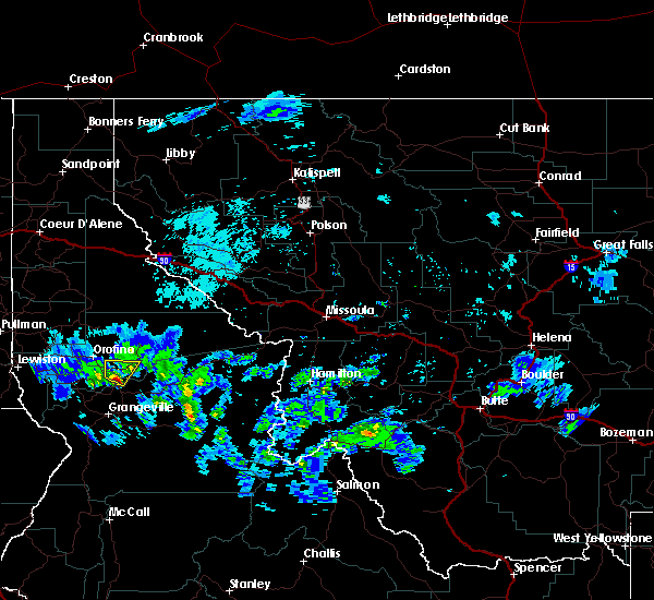
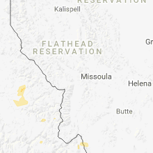
Hail Map for Kamiah, ID
The Kamiah, ID area has had 1 report of on-the-ground hail by trained spotters, and has been under severe weather warnings 1 time during the past 12 months. Doppler radar has detected hail at or near Kamiah, ID on 8 occasions, including 1 occasion during the past year.
| Name: | Kamiah, ID |
| Where Located: | 21.1 miles NNE of Grangeville, ID |
| Map: | Google Map for Kamiah, ID |
| Population: | 1295 |
| Housing Units: | 642 |
| More Info: | Search Google for Kamiah, ID |
2
The Top Recent Hail Date for Kamiah, ID is Saturday, August 5, 2023 (3rd out of 8)
Hail and Wind Damage Spotted near Kamiah, ID
| Date / Time | Report Details |
|---|---|
| 5/21/2023 7:29 PM PDT |
 At 728 pm pdt, a severe thunderstorm was located near grangeville, moving northeast at 45 mph (radar indicated). Hazards include 60 mph wind gusts and quarter size hail. Hail damage to vehicles is expected. Expect wind damage to roofs, siding, and trees. At 728 pm pdt, a severe thunderstorm was located near grangeville, moving northeast at 45 mph (radar indicated). Hazards include 60 mph wind gusts and quarter size hail. Hail damage to vehicles is expected. Expect wind damage to roofs, siding, and trees.
|
| 8/12/2022 1:11 PM PDT |
 At 110 pm pdt, severe thunderstorms were located along a line extending from near orofino to near nezperce, moving northeast at 45 mph (public). Hazards include 60 mph wind gusts have been reported with this storm. hail up to 1 inch is possible. Hail damage to vehicles is expected. expect wind damage to roofs, siding, and trees. locations impacted include, kamiah, craigmont, nezperce, peck, reubens and mohler. this includes the following highways, u. s. highway 95 in idaho between mile markers 268 and 276. u. s. highway 12 in idaho between mile markers 52 and 54, and between mile markers 59 and 67. hail threat, radar indicated max hail size, 1. 00 in wind threat, radar indicated max wind gust, 60 mph. At 110 pm pdt, severe thunderstorms were located along a line extending from near orofino to near nezperce, moving northeast at 45 mph (public). Hazards include 60 mph wind gusts have been reported with this storm. hail up to 1 inch is possible. Hail damage to vehicles is expected. expect wind damage to roofs, siding, and trees. locations impacted include, kamiah, craigmont, nezperce, peck, reubens and mohler. this includes the following highways, u. s. highway 95 in idaho between mile markers 268 and 276. u. s. highway 12 in idaho between mile markers 52 and 54, and between mile markers 59 and 67. hail threat, radar indicated max hail size, 1. 00 in wind threat, radar indicated max wind gust, 60 mph.
|
| 8/12/2022 12:52 PM PDT |
 At 1252 pm pdt, severe thunderstorms were located along a line extending from 8 miles east of culdesac to 14 miles south of craigmont, moving northeast at 45 mph (radar indicated). Hazards include 60 mph wind gusts and half dollar size hail. Hail damage to vehicles is expected. Expect wind damage to roofs, siding, and trees. At 1252 pm pdt, severe thunderstorms were located along a line extending from 8 miles east of culdesac to 14 miles south of craigmont, moving northeast at 45 mph (radar indicated). Hazards include 60 mph wind gusts and half dollar size hail. Hail damage to vehicles is expected. Expect wind damage to roofs, siding, and trees.
|
| 8/11/2022 4:16 PM PDT | Downed trees on a residential property in kamiah. report via social media. time estimated from rada in lewis county ID, 0.5 miles SSE of Kamiah, ID |
| 8/11/2022 4:15 PM PDT | Corrects previous tstm wnd dmg report from kamiah. trees and power lines down in the town of kamiah. roof detached from in kamiah and landed on a ca in lewis county ID, 0.5 miles SSE of Kamiah, ID |
| 8/11/2022 4:15 PM PDT | Trees down over state route 64 between milepost 28 to 3 in lewis county ID, 1.7 miles ESE of Kamiah, ID |
| 8/11/2022 4:15 PM PDT | Trees down over highway 12 between mile post 60 and 6 in lewis county ID, 1.9 miles SSE of Kamiah, ID |
| 8/11/2022 4:15 PM PDT | Tree branches down over highway 162 between milepost 21 and 2 in lewis county ID, 1.9 miles ENE of Kamiah, ID |
| 8/11/2022 4:00 PM PDT |
 At 359 pm pdt, a severe thunderstorm was located over nezperce, or 9 miles west of kamiah, moving northeast at 20 mph (radar indicated). Hazards include ping pong ball size hail and 60 mph wind gusts. People and animals outdoors will be injured. expect hail damage to roofs, siding, windows, and vehicles. Expect wind damage to roofs, siding, and trees. At 359 pm pdt, a severe thunderstorm was located over nezperce, or 9 miles west of kamiah, moving northeast at 20 mph (radar indicated). Hazards include ping pong ball size hail and 60 mph wind gusts. People and animals outdoors will be injured. expect hail damage to roofs, siding, windows, and vehicles. Expect wind damage to roofs, siding, and trees.
|
| 7/6/2022 7:35 PM PDT |
 The severe thunderstorm warning for northeastern lewis county will expire at 745 pm pdt, the storm which prompted the warning has weakened below severe limits, and will soon exit the warned area. therefore, the warning will be allowed to expire. The severe thunderstorm warning for northeastern lewis county will expire at 745 pm pdt, the storm which prompted the warning has weakened below severe limits, and will soon exit the warned area. therefore, the warning will be allowed to expire.
|
| 7/6/2022 6:59 PM PDT |
 At 659 pm pdt, a severe thunderstorm was located near craigmont, or 17 miles west of kamiah, moving northeast at 25 mph (radar indicated). Hazards include golf ball size hail and 70 mph wind gusts. People and animals outdoors will be injured. expect hail damage to roofs, siding, windows, and vehicles. expect considerable tree damage. Wind damage is also likely to mobile homes, roofs, and outbuildings. At 659 pm pdt, a severe thunderstorm was located near craigmont, or 17 miles west of kamiah, moving northeast at 25 mph (radar indicated). Hazards include golf ball size hail and 70 mph wind gusts. People and animals outdoors will be injured. expect hail damage to roofs, siding, windows, and vehicles. expect considerable tree damage. Wind damage is also likely to mobile homes, roofs, and outbuildings.
|
| 5/6/2022 4:06 PM PDT | Reports of trees and lines down near the intersection of caribel and glenwood in kamia in idaho county ID, 1.1 miles SSW of Kamiah, ID |
| 8/17/2020 6:25 PM PDT |
 At 622 pm pdt, a severe thunderstorm was located 19 miles northeast of enterprise, moving northeast at 35 mph. the thunderstorms are looking to enter nez perce county by 6:45pm. brief heavy downpours and wind gusts up to 50 mph are possible (doppler radar indicated). Hazards include 50 mph wind gusts and penny size hail. expect damage to roofs, siding, and trees At 622 pm pdt, a severe thunderstorm was located 19 miles northeast of enterprise, moving northeast at 35 mph. the thunderstorms are looking to enter nez perce county by 6:45pm. brief heavy downpours and wind gusts up to 50 mph are possible (doppler radar indicated). Hazards include 50 mph wind gusts and penny size hail. expect damage to roofs, siding, and trees
|
| 5/16/2019 2:58 PM PDT |
 The severe thunderstorm warning for northwestern idaho and southwestern clearwater counties will expire at 300 pm pdt, the severe thunderstorm which prompted the warning has begun to weaken. therefore, the warning will be allowed to expire. The severe thunderstorm warning for northwestern idaho and southwestern clearwater counties will expire at 300 pm pdt, the severe thunderstorm which prompted the warning has begun to weaken. therefore, the warning will be allowed to expire.
|
| 5/16/2019 2:41 PM PDT |
 At 239 pm pdt, a severe thunderstorm was located near weippe, or 8 miles north of kamiah, moving north at 30 mph (trained weather spotter in east kamiah). Hazards include penny size hail (3/4") has been reported. Hail damage to vehicles is expected. expect wind damage to roofs, siding, and trees. Locations impacted include, weippe, pardee and woodland. At 239 pm pdt, a severe thunderstorm was located near weippe, or 8 miles north of kamiah, moving north at 30 mph (trained weather spotter in east kamiah). Hazards include penny size hail (3/4") has been reported. Hail damage to vehicles is expected. expect wind damage to roofs, siding, and trees. Locations impacted include, weippe, pardee and woodland.
|
| 5/16/2019 2:35 PM PDT |
 At 234 pm pdt, a severe thunderstorm was located near weippe, or near kamiah, moving north at 30 mph (radar indicated). Hazards include 60 mph wind gusts and quarter size hail. heavy rainfall also likely. Hail damage to vehicles is expected. Expect wind damage to roofs, siding, and trees. At 234 pm pdt, a severe thunderstorm was located near weippe, or near kamiah, moving north at 30 mph (radar indicated). Hazards include 60 mph wind gusts and quarter size hail. heavy rainfall also likely. Hail damage to vehicles is expected. Expect wind damage to roofs, siding, and trees.
|
| 5/16/2019 1:55 PM PDT | Gusts between 50 and 60 mph. small limbs broken off willow tre in idaho county ID, 2.6 miles SSW of Kamiah, ID |
| 8/29/2017 4:55 PM PDT | Some rooted and split trees and large downed branches in kamiah... id proper from thunderstorm related gusts. no local measurement of winds and surrounding observation in lewis county ID, 0.5 miles SSE of Kamiah, ID |
| 5/31/2015 8:41 PM PDT | At 835 pm pdt, the public reported a severe thunderstorm producing quarter size hail near craigmont. this storm was located near craigmont, or 17 miles west of kamiah, and moving northeast at 25 mph. |
| 5/31/2015 5:31 PM PDT | At 531 pm pdt, doppler radar indicated a severe thunderstorm capable of producing half dollar size hail. this storm was located near nezperce, or 14 miles west of kamiah, moving east at 20 mph. locations impacted include, craigmont, nezperce and mohler. |
| 5/31/2015 5:17 PM PDT | At 517 pm pdt, doppler radar indicated a severe thunderstorm capable of producing quarter size hail. this storm was located over craigmont, or 17 miles southwest of orofino, and moving east at 20 mph. |
| 6/4/2012 7:50 PM PDT | Quarter sized hail reported 6 miles S of Kamiah, ID |
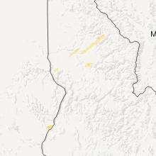
Hail Maps for Kamiah, ID


Connect with Interactive Hail Maps