

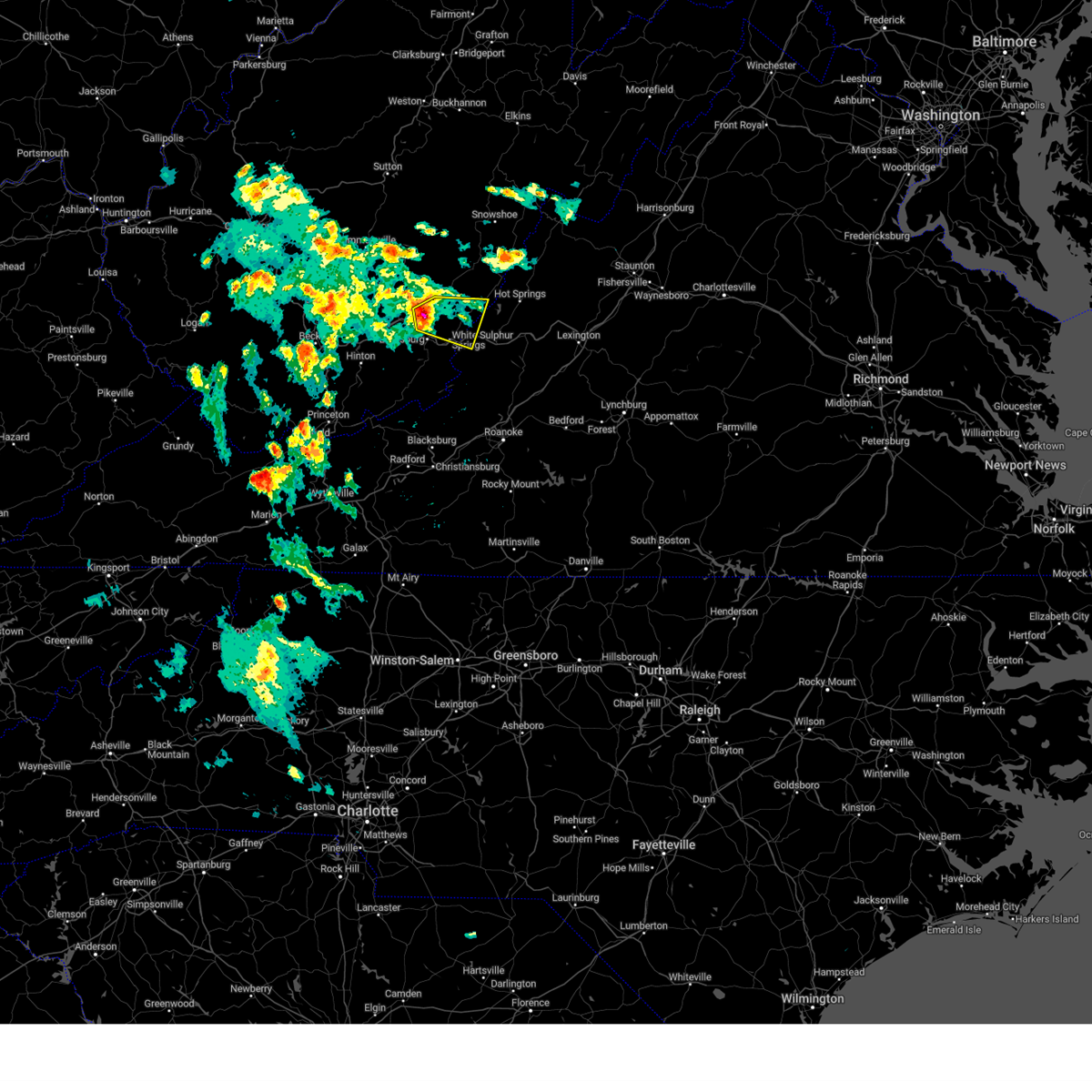
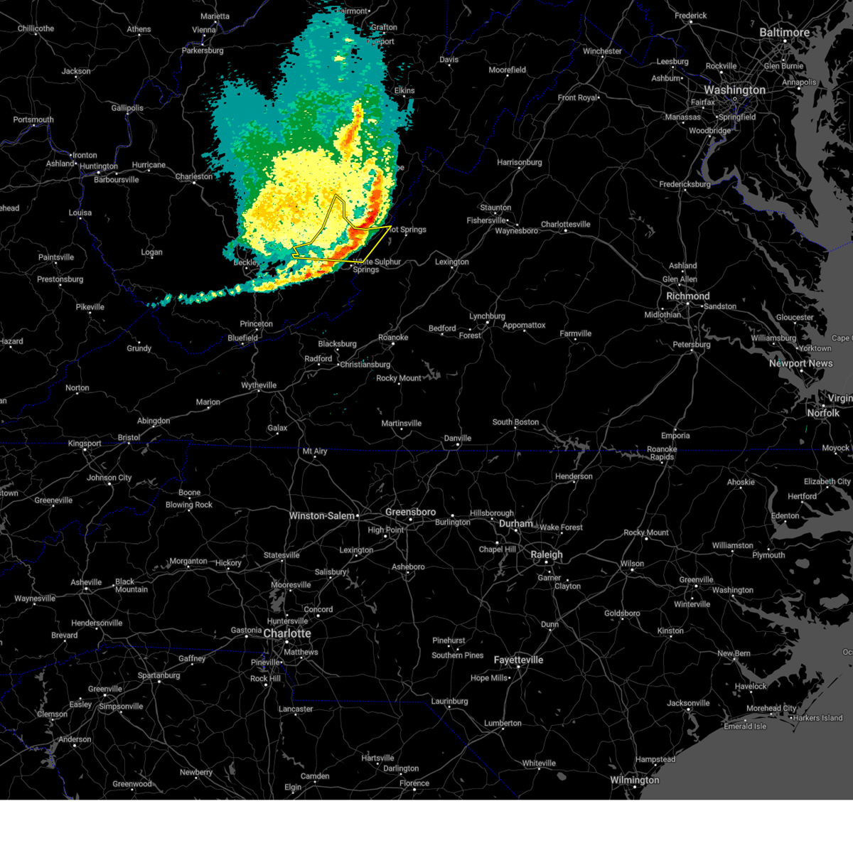
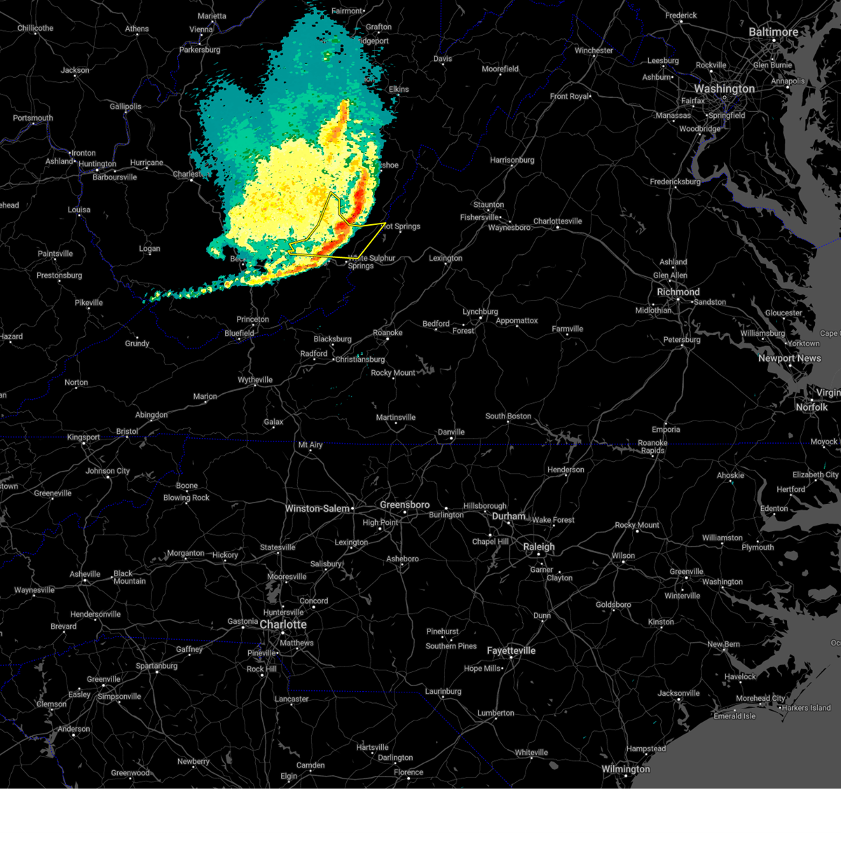
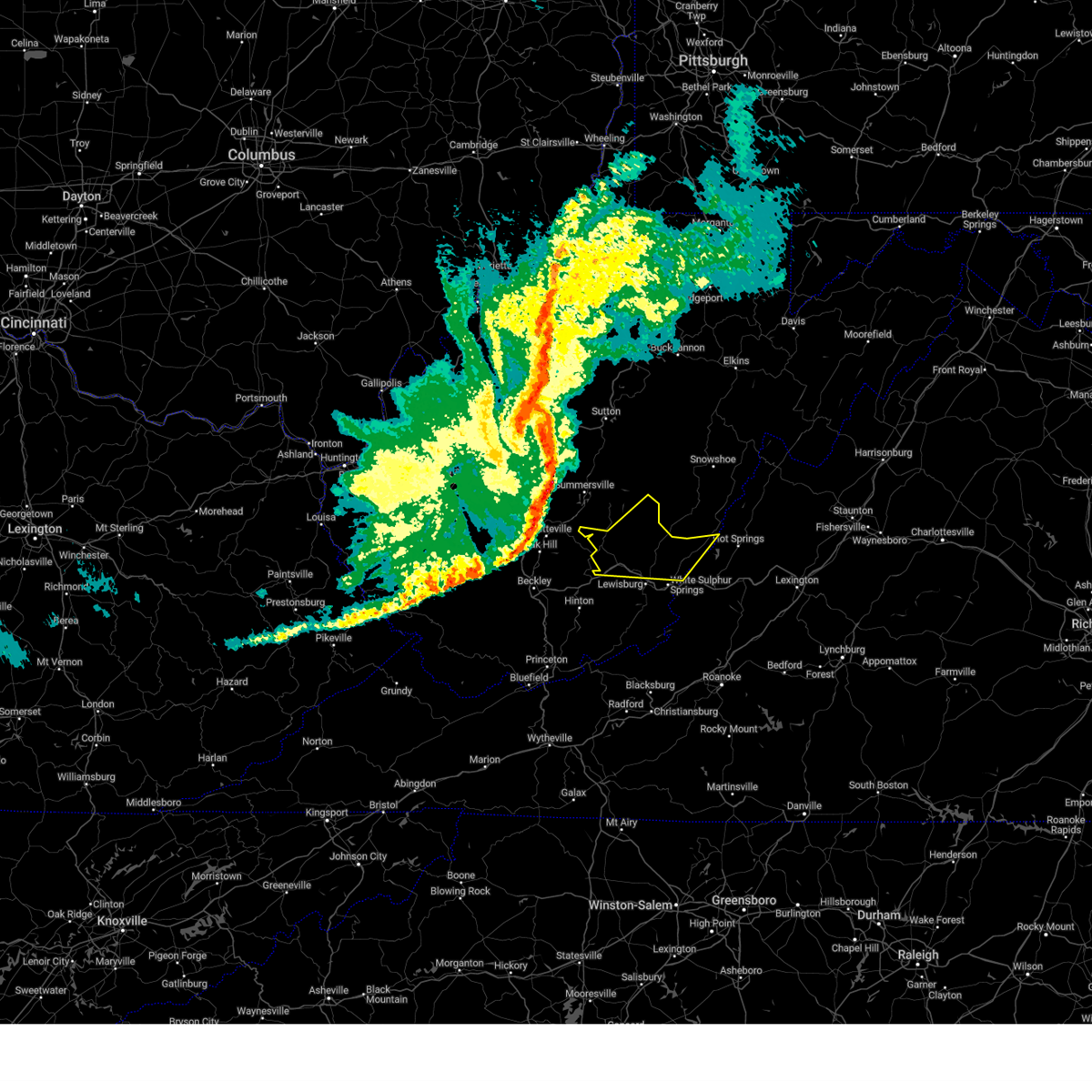
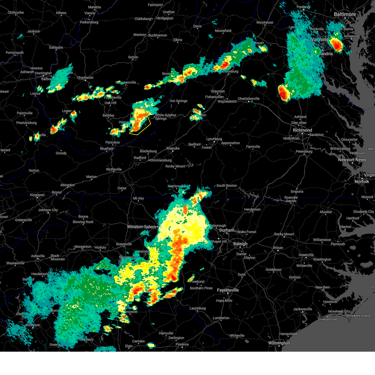
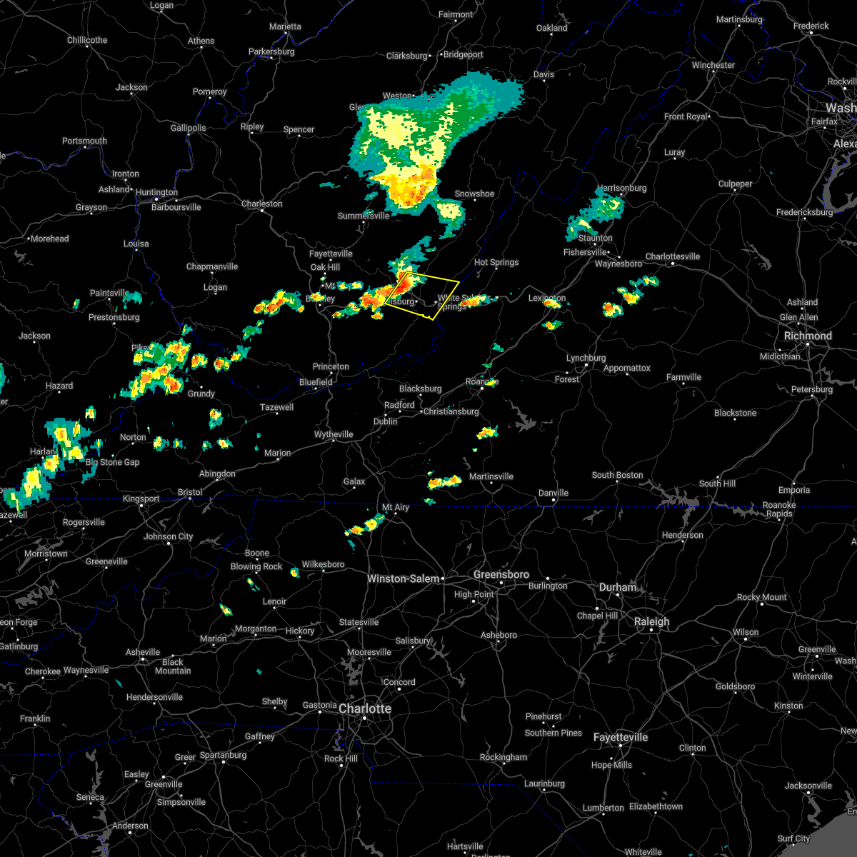
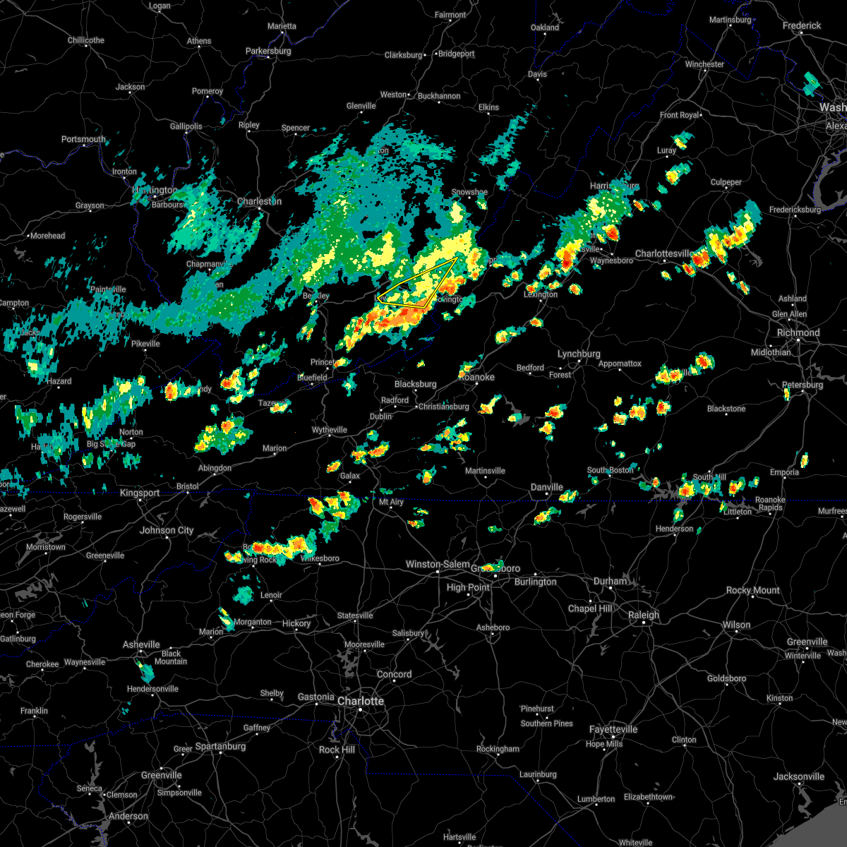
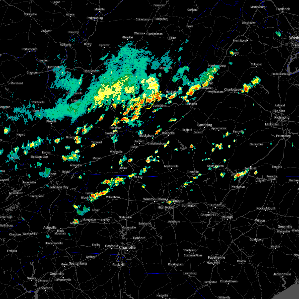
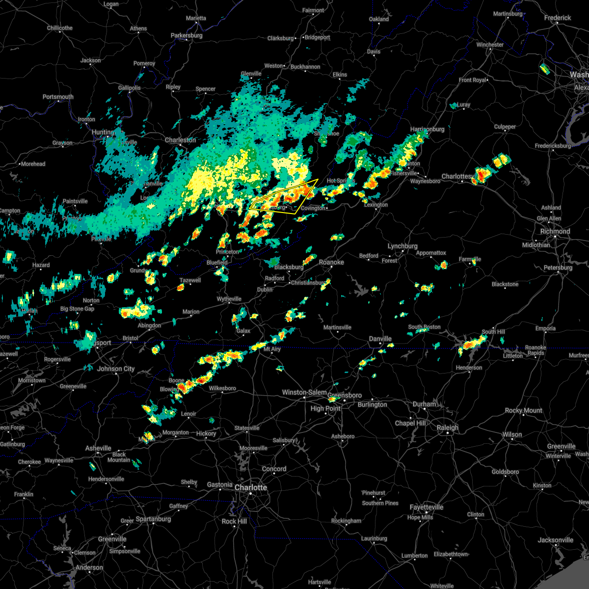
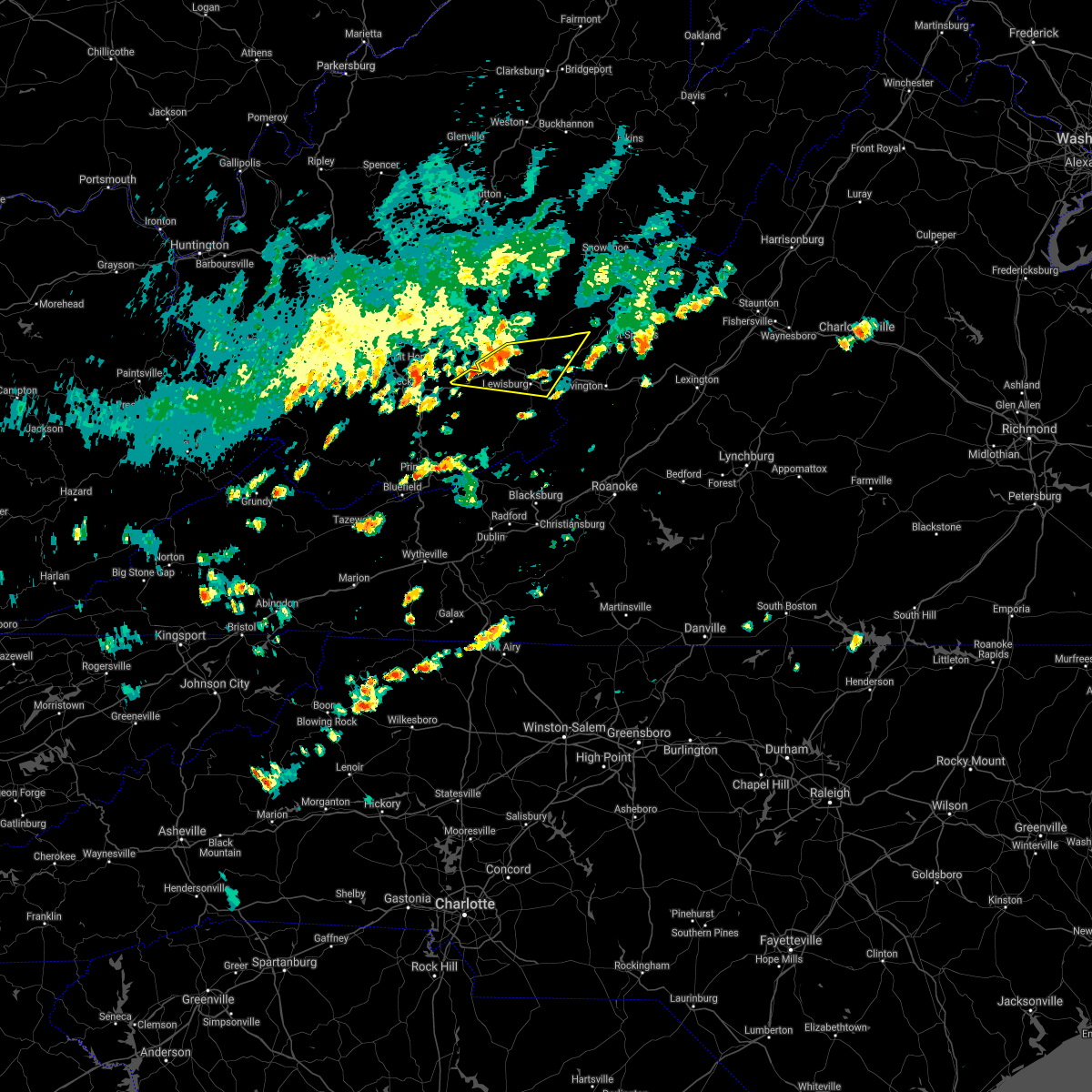
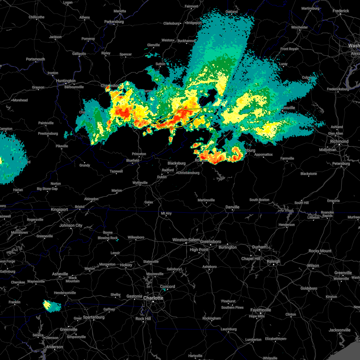
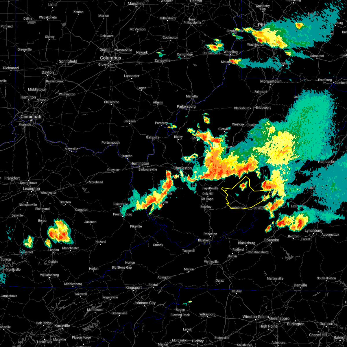
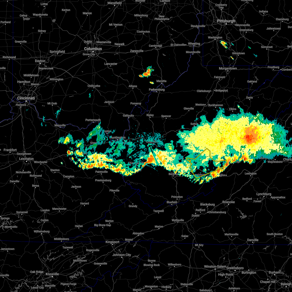
Hail Map for Lewisburg, WV
The Lewisburg, WV area has had 15 reports of on-the-ground hail by trained spotters, and has been under severe weather warnings 38 times during the past 12 months. Doppler radar has detected hail at or near Lewisburg, WV on 21 occasions, including 3 occasions during the past year.
| Name: | Lewisburg, WV |
| Where Located: | 45.9 miles NW of Roanoke, VA |
| Map: | Google Map for Lewisburg, WV |
| Population: | 3830 |
| Housing Units: | 2100 |
| More Info: | Search Google for Lewisburg, WV |
0
The Top Recent Hail Date for Lewisburg, WV is Tuesday, April 16, 2024 (21st out of 21)

Hail and Wind Damage Spotted near Lewisburg, WV
| Date / Time | Report Details |
|---|---|
| 4/16/2024 3:55 PM EDT |
 Svrrnk the national weather service in blacksburg has issued a * severe thunderstorm warning for, northwestern alleghany county in west central virginia, central greenbrier county in southeastern west virginia, * until 500 pm edt. * at 355 pm edt, a severe thunderstorm was located over williamsburg, or 8 miles southwest of renick, moving east at 20 mph (radar indicated). Hazards include 60 mph wind gusts and quarter size hail. Hail damage to vehicles is expected. Expect wind damage to roofs, siding, and trees. Svrrnk the national weather service in blacksburg has issued a * severe thunderstorm warning for, northwestern alleghany county in west central virginia, central greenbrier county in southeastern west virginia, * until 500 pm edt. * at 355 pm edt, a severe thunderstorm was located over williamsburg, or 8 miles southwest of renick, moving east at 20 mph (radar indicated). Hazards include 60 mph wind gusts and quarter size hail. Hail damage to vehicles is expected. Expect wind damage to roofs, siding, and trees.
|
| 4/2/2024 12:19 PM EDT |
 At 1218 pm edt, severe thunderstorms were located along a line extending from near marlinton to rorer to lewisburg airport, moving east at 75 mph (public). Hazards include 70 mph wind gusts. Expect considerable tree damage. damage is likely to mobile homes, roofs, and outbuildings. Locations impacted include, renick, neola, falling spring, beartown state park, trout, lewisburg airport, and alvon. At 1218 pm edt, severe thunderstorms were located along a line extending from near marlinton to rorer to lewisburg airport, moving east at 75 mph (public). Hazards include 70 mph wind gusts. Expect considerable tree damage. damage is likely to mobile homes, roofs, and outbuildings. Locations impacted include, renick, neola, falling spring, beartown state park, trout, lewisburg airport, and alvon.
|
| 4/2/2024 12:15 PM EDT |
 At 1215 pm edt, severe thunderstorms were located along a line extending from 6 miles northwest of marlinton to near rorer to maxwelton, moving east at 75 mph (radar indicated). Hazards include 70 mph wind gusts. Expect considerable tree damage. damage is likely to mobile homes, roofs, and outbuildings. Locations impacted include, renick, neola, falling spring, beartown state park, trout, lewisburg airport, and alvon. At 1215 pm edt, severe thunderstorms were located along a line extending from 6 miles northwest of marlinton to near rorer to maxwelton, moving east at 75 mph (radar indicated). Hazards include 70 mph wind gusts. Expect considerable tree damage. damage is likely to mobile homes, roofs, and outbuildings. Locations impacted include, renick, neola, falling spring, beartown state park, trout, lewisburg airport, and alvon.
|
| 4/2/2024 11:51 AM EDT |
 Svrrnk the national weather service in blacksburg has issued a * severe thunderstorm warning for, southwestern greenbrier county in southeastern west virginia, northern summers county in southeastern west virginia, northern monroe county in southeastern west virginia, * until 1230 pm edt. * at 1151 am edt, severe thunderstorms were located along a line extending from babcock state park to 6 miles east of mount hope to prosperity, moving east at 55 mph (radar indicated). Hazards include 70 mph wind gusts. Expect considerable tree damage. Damage is likely to mobile homes, roofs, and outbuildings. Svrrnk the national weather service in blacksburg has issued a * severe thunderstorm warning for, southwestern greenbrier county in southeastern west virginia, northern summers county in southeastern west virginia, northern monroe county in southeastern west virginia, * until 1230 pm edt. * at 1151 am edt, severe thunderstorms were located along a line extending from babcock state park to 6 miles east of mount hope to prosperity, moving east at 55 mph (radar indicated). Hazards include 70 mph wind gusts. Expect considerable tree damage. Damage is likely to mobile homes, roofs, and outbuildings.
|
| 4/2/2024 11:39 AM EDT |
 Svrrnk the national weather service in blacksburg has issued a * severe thunderstorm warning for, greenbrier county in southeastern west virginia, * until 1230 pm edt. * at 1139 am edt, severe thunderstorms were located along a line extending from 9 miles southeast of clay to near ansted to near mount hope, moving east at 75 mph (radar indicated). Hazards include 70 mph wind gusts. Expect considerable tree damage. Damage is likely to mobile homes, roofs, and outbuildings. Svrrnk the national weather service in blacksburg has issued a * severe thunderstorm warning for, greenbrier county in southeastern west virginia, * until 1230 pm edt. * at 1139 am edt, severe thunderstorms were located along a line extending from 9 miles southeast of clay to near ansted to near mount hope, moving east at 75 mph (radar indicated). Hazards include 70 mph wind gusts. Expect considerable tree damage. Damage is likely to mobile homes, roofs, and outbuildings.
|
| 8/7/2023 6:17 PM EDT |
 At 617 pm edt, severe thunderstorms were located along a line extending from near asbury to near union to near wayside, moving east at 55 mph (radar indicated). Hazards include 60 mph wind gusts and quarter size hail. Hail damage to vehicles is expected. expect wind damage to roofs, siding, and trees. locations impacted include, lewisburg, ronceverte, alderson, union, wolfcreek, asbury, and pickaway. this includes the following location the west virginia state fairgrounds. hail threat, radar indicated max hail size, 1. 00 in wind threat, radar indicated max wind gust, 60 mph. At 617 pm edt, severe thunderstorms were located along a line extending from near asbury to near union to near wayside, moving east at 55 mph (radar indicated). Hazards include 60 mph wind gusts and quarter size hail. Hail damage to vehicles is expected. expect wind damage to roofs, siding, and trees. locations impacted include, lewisburg, ronceverte, alderson, union, wolfcreek, asbury, and pickaway. this includes the following location the west virginia state fairgrounds. hail threat, radar indicated max hail size, 1. 00 in wind threat, radar indicated max wind gust, 60 mph.
|
| 8/7/2023 5:37 PM EDT |
 At 537 pm edt, severe thunderstorms were located along a line extending from near oak hill to beaver to near coal city, moving east at 40 mph (radar indicated). Hazards include 60 mph wind gusts and quarter size hail. Hail damage to vehicles is expected. Expect wind damage to roofs, siding, and trees. At 537 pm edt, severe thunderstorms were located along a line extending from near oak hill to beaver to near coal city, moving east at 40 mph (radar indicated). Hazards include 60 mph wind gusts and quarter size hail. Hail damage to vehicles is expected. Expect wind damage to roofs, siding, and trees.
|
| 7/28/2023 5:13 PM EDT |
 The severe thunderstorm warning for giles, northwestern smyth, tazewell, bland, greenbrier, summers, mercer and monroe counties will expire at 515 pm edt, the storms which prompted the warning have moved out of the area. therefore, the warning will be allowed to expire. a severe thunderstorm watch remains in effect until 1100 pm edt for southwestern and west central virginia, and southeastern west virginia. The severe thunderstorm warning for giles, northwestern smyth, tazewell, bland, greenbrier, summers, mercer and monroe counties will expire at 515 pm edt, the storms which prompted the warning have moved out of the area. therefore, the warning will be allowed to expire. a severe thunderstorm watch remains in effect until 1100 pm edt for southwestern and west central virginia, and southeastern west virginia.
|
| 7/28/2023 5:04 PM EDT |
 At 503 pm edt, severe thunderstorms were located along a line extending from 9 miles east of richwood to maxwelton to near alderson, moving east at 25 mph (radar indicated). Hazards include 60 mph wind gusts. expect damage to roofs, siding, and trees At 503 pm edt, severe thunderstorms were located along a line extending from 9 miles east of richwood to maxwelton to near alderson, moving east at 25 mph (radar indicated). Hazards include 60 mph wind gusts. expect damage to roofs, siding, and trees
|
| 7/28/2023 4:31 PM EDT |
 At 431 pm edt, severe thunderstorms were located along a line extending from 6 miles northwest of bingham to near hix to pipestem resort state park to near amonate, moving southeast at 60 mph (radar indicated). Hazards include 60 mph wind gusts. Expect damage to roofs, siding, and trees. locations impacted include, alleghany, bluefield, bland, princeton, richlands, tazewell, and lewisburg. this includes the following locations the west virginia state fairgrounds and mercer county airport. hail threat, radar indicated max hail size, <. 75 in wind threat, radar indicated max wind gust, 60 mph. At 431 pm edt, severe thunderstorms were located along a line extending from 6 miles northwest of bingham to near hix to pipestem resort state park to near amonate, moving southeast at 60 mph (radar indicated). Hazards include 60 mph wind gusts. Expect damage to roofs, siding, and trees. locations impacted include, alleghany, bluefield, bland, princeton, richlands, tazewell, and lewisburg. this includes the following locations the west virginia state fairgrounds and mercer county airport. hail threat, radar indicated max hail size, <. 75 in wind threat, radar indicated max wind gust, 60 mph.
|
| 7/28/2023 4:03 PM EDT |
 At 402 pm edt, severe thunderstorms were located along a line extending from 6 miles south of burnwell to near sophia to near hanover, moving east at 30 mph (radar indicated). Hazards include 60 mph wind gusts. expect damage to roofs, siding, and trees At 402 pm edt, severe thunderstorms were located along a line extending from 6 miles south of burnwell to near sophia to near hanover, moving east at 30 mph (radar indicated). Hazards include 60 mph wind gusts. expect damage to roofs, siding, and trees
|
| 7/23/2023 8:13 PM EDT |
 The severe thunderstorm warning for northwestern alleghany county in west central virginia will expire at 815 pm edt, the storm which prompted the warning has moved out of the area. therefore, the warning will be allowed to expire. remember, a severe thunderstorm warning still remains in effect for greenbrier county in west virginia until 915 pm edt. The severe thunderstorm warning for northwestern alleghany county in west central virginia will expire at 815 pm edt, the storm which prompted the warning has moved out of the area. therefore, the warning will be allowed to expire. remember, a severe thunderstorm warning still remains in effect for greenbrier county in west virginia until 915 pm edt.
|
| 7/23/2023 7:52 PM EDT |
 At 752 pm edt, a severe thunderstorm was located over maxwelton, or near lewisburg, moving northeast at 35 mph (radar indicated). Hazards include 60 mph wind gusts and quarter size hail. Hail damage to vehicles is expected. expect wind damage to roofs, siding, and trees. locations impacted include, alleghany, lewisburg, white sulphur springs, ronceverte, renick, neola, and falling spring. this includes the following location the west virginia state fairgrounds. hail threat, radar indicated max hail size, 1. 00 in wind threat, radar indicated max wind gust, 60 mph. At 752 pm edt, a severe thunderstorm was located over maxwelton, or near lewisburg, moving northeast at 35 mph (radar indicated). Hazards include 60 mph wind gusts and quarter size hail. Hail damage to vehicles is expected. expect wind damage to roofs, siding, and trees. locations impacted include, alleghany, lewisburg, white sulphur springs, ronceverte, renick, neola, and falling spring. this includes the following location the west virginia state fairgrounds. hail threat, radar indicated max hail size, 1. 00 in wind threat, radar indicated max wind gust, 60 mph.
|
| 7/23/2023 7:21 PM EDT |
 At 721 pm edt, a severe thunderstorm was located near wolfcreek, or near alderson, moving northeast at 30 mph (radar indicated). Hazards include 60 mph wind gusts and quarter size hail. Hail damage to vehicles is expected. Expect wind damage to roofs, siding, and trees. At 721 pm edt, a severe thunderstorm was located near wolfcreek, or near alderson, moving northeast at 30 mph (radar indicated). Hazards include 60 mph wind gusts and quarter size hail. Hail damage to vehicles is expected. Expect wind damage to roofs, siding, and trees.
|
| 7/13/2023 8:23 PM EDT |
 At 822 pm edt, severe thunderstorms were located along a line extending from buena vista to near new castle, moving east at 70 mph (radar indicated). Hazards include 70 mph wind gusts and quarter size hail. Hail damage to vehicles is expected. expect considerable tree damage. wind damage is also likely to mobile homes, roofs, and outbuildings. locations impacted include, alleghany, lexington, buena vista, covington, clifton forge, lewisburg, and white sulphur springs. this includes the following locations vmi and the west virginia state fairgrounds. thunderstorm damage threat, considerable hail threat, radar indicated max hail size, 1. 00 in wind threat, radar indicated max wind gust, 70 mph. At 822 pm edt, severe thunderstorms were located along a line extending from buena vista to near new castle, moving east at 70 mph (radar indicated). Hazards include 70 mph wind gusts and quarter size hail. Hail damage to vehicles is expected. expect considerable tree damage. wind damage is also likely to mobile homes, roofs, and outbuildings. locations impacted include, alleghany, lexington, buena vista, covington, clifton forge, lewisburg, and white sulphur springs. this includes the following locations vmi and the west virginia state fairgrounds. thunderstorm damage threat, considerable hail threat, radar indicated max hail size, 1. 00 in wind threat, radar indicated max wind gust, 70 mph.
|
| 7/13/2023 7:59 PM EDT |
 At 759 pm edt, severe thunderstorms were located along a line extending from near longdale furnace to near wolfcreek, moving east at 70 mph (radar indicated). Hazards include 60 mph wind gusts and quarter size hail. Hail damage to vehicles is expected. Expect wind damage to roofs, siding, and trees. At 759 pm edt, severe thunderstorms were located along a line extending from near longdale furnace to near wolfcreek, moving east at 70 mph (radar indicated). Hazards include 60 mph wind gusts and quarter size hail. Hail damage to vehicles is expected. Expect wind damage to roofs, siding, and trees.
|
| 7/13/2023 7:55 PM EDT |
 At 755 pm edt, severe thunderstorms were located along a line extending from near warm springs to near alderson, moving east at 30 mph (radar indicated). Hazards include 60 mph wind gusts and quarter size hail. Hail damage to vehicles is expected. expect wind damage to roofs, siding, and trees. locations impacted include, alleghany, covington, lewisburg, white sulphur springs, ronceverte, alderson, and renick. this includes the following location the west virginia state fairgrounds. hail threat, radar indicated max hail size, 1. 00 in wind threat, radar indicated max wind gust, 60 mph. At 755 pm edt, severe thunderstorms were located along a line extending from near warm springs to near alderson, moving east at 30 mph (radar indicated). Hazards include 60 mph wind gusts and quarter size hail. Hail damage to vehicles is expected. expect wind damage to roofs, siding, and trees. locations impacted include, alleghany, covington, lewisburg, white sulphur springs, ronceverte, alderson, and renick. this includes the following location the west virginia state fairgrounds. hail threat, radar indicated max hail size, 1. 00 in wind threat, radar indicated max wind gust, 60 mph.
|
| 7/13/2023 7:34 PM EDT |
 At 733 pm edt, severe thunderstorms were located along a line extending from near lake moomaw to sandstone, moving east at 30 mph (radar indicated). Hazards include 60 mph wind gusts and quarter size hail. Hail damage to vehicles is expected. Expect wind damage to roofs, siding, and trees. At 733 pm edt, severe thunderstorms were located along a line extending from near lake moomaw to sandstone, moving east at 30 mph (radar indicated). Hazards include 60 mph wind gusts and quarter size hail. Hail damage to vehicles is expected. Expect wind damage to roofs, siding, and trees.
|
| 7/13/2023 7:18 PM EDT |
 At 717 pm edt, severe thunderstorms were located along a line extending from near neola to near hinton, moving southeast at 40 mph (radar indicated). Hazards include 60 mph wind gusts and quarter size hail. Hail damage to vehicles is expected. expect wind damage to roofs, siding, and trees. locations impacted include, lewisburg, hinton, rainelle, alderson, rupert, quinwood, and renick. hail threat, radar indicated max hail size, 1. 00 in wind threat, radar indicated max wind gust, 60 mph. At 717 pm edt, severe thunderstorms were located along a line extending from near neola to near hinton, moving southeast at 40 mph (radar indicated). Hazards include 60 mph wind gusts and quarter size hail. Hail damage to vehicles is expected. expect wind damage to roofs, siding, and trees. locations impacted include, lewisburg, hinton, rainelle, alderson, rupert, quinwood, and renick. hail threat, radar indicated max hail size, 1. 00 in wind threat, radar indicated max wind gust, 60 mph.
|
| 7/13/2023 6:59 PM EDT |
 At 658 pm edt, severe thunderstorms were located along a line extending from 10 miles west of marlinton to near piney view, moving southeast at 40 mph. this storm was producing high amounts of lightning (radar indicated). Hazards include 60 mph wind gusts and quarter size hail. Hail damage to vehicles is expected. Expect wind damage to roofs, siding, and trees. At 658 pm edt, severe thunderstorms were located along a line extending from 10 miles west of marlinton to near piney view, moving southeast at 40 mph. this storm was producing high amounts of lightning (radar indicated). Hazards include 60 mph wind gusts and quarter size hail. Hail damage to vehicles is expected. Expect wind damage to roofs, siding, and trees.
|
| 7/3/2023 1:27 AM EDT |
 At 127 am edt, a severe thunderstorm was located near alvon, or near renick, moving east at 40 mph (radar indicated). Hazards include 60 mph wind gusts. Expect damage to roofs, siding, and trees. locations impacted include, alleghany, covington, clifton forge, lewisburg, white sulphur springs, ronceverte, and union. this includes the following location the west virginia state fairgrounds. hail threat, radar indicated max hail size, <. 75 in wind threat, radar indicated max wind gust, 60 mph. At 127 am edt, a severe thunderstorm was located near alvon, or near renick, moving east at 40 mph (radar indicated). Hazards include 60 mph wind gusts. Expect damage to roofs, siding, and trees. locations impacted include, alleghany, covington, clifton forge, lewisburg, white sulphur springs, ronceverte, and union. this includes the following location the west virginia state fairgrounds. hail threat, radar indicated max hail size, <. 75 in wind threat, radar indicated max wind gust, 60 mph.
|
| 7/3/2023 1:15 AM EDT |
 At 114 am edt, a severe thunderstorm was located near asbury, or near lewisburg, moving northeast at 40 mph (radar indicated). Hazards include 60 mph wind gusts. expect damage to roofs, siding, and trees At 114 am edt, a severe thunderstorm was located near asbury, or near lewisburg, moving northeast at 40 mph (radar indicated). Hazards include 60 mph wind gusts. expect damage to roofs, siding, and trees
|
| 7/3/2023 1:09 AM EDT |
 At 109 am edt, a severe thunderstorm was located over asbury, or near alderson, moving northeast at 40 mph (radar indicated). Hazards include 60 mph wind gusts. Expect damage to roofs, siding, and trees. locations impacted include, lewisburg, white sulphur springs, ronceverte, alderson, rupert, union, and renick. this includes the following location the west virginia state fairgrounds. hail threat, radar indicated max hail size, <. 75 in wind threat, radar indicated max wind gust, 60 mph. At 109 am edt, a severe thunderstorm was located over asbury, or near alderson, moving northeast at 40 mph (radar indicated). Hazards include 60 mph wind gusts. Expect damage to roofs, siding, and trees. locations impacted include, lewisburg, white sulphur springs, ronceverte, alderson, rupert, union, and renick. this includes the following location the west virginia state fairgrounds. hail threat, radar indicated max hail size, <. 75 in wind threat, radar indicated max wind gust, 60 mph.
|
| 7/3/2023 12:54 AM EDT |
 At 1253 am edt, a severe thunderstorm was located near glenray, or near alderson, moving northeast at 40 mph (radar indicated). Hazards include 60 mph wind gusts. Expect damage to roofs, siding, and trees. locations impacted include, lewisburg, hinton, white sulphur springs, ronceverte, rainelle, alderson, and rupert. this includes the following location the west virginia state fairgrounds. hail threat, radar indicated max hail size, <. 75 in wind threat, radar indicated max wind gust, 60 mph. At 1253 am edt, a severe thunderstorm was located near glenray, or near alderson, moving northeast at 40 mph (radar indicated). Hazards include 60 mph wind gusts. Expect damage to roofs, siding, and trees. locations impacted include, lewisburg, hinton, white sulphur springs, ronceverte, rainelle, alderson, and rupert. this includes the following location the west virginia state fairgrounds. hail threat, radar indicated max hail size, <. 75 in wind threat, radar indicated max wind gust, 60 mph.
|
| 7/3/2023 12:30 AM EDT |
 At 1230 am edt, a severe thunderstorm was located over flat top, or 7 miles northwest of pipestem, moving northeast at 40 mph (radar indicated). Hazards include 60 mph wind gusts. expect damage to roofs, siding, and trees At 1230 am edt, a severe thunderstorm was located over flat top, or 7 miles northwest of pipestem, moving northeast at 40 mph (radar indicated). Hazards include 60 mph wind gusts. expect damage to roofs, siding, and trees
|
| 7/23/2022 5:39 PM EDT | Tree down on boones mountain roa in greenbrier county WV, 6.4 miles SW of Lewisburg, WV |
| 7/23/2022 5:29 PM EDT |
 At 528 pm edt, a severe thunderstorm was located over frankford, or near renick, moving east at 20 mph (radar indicated). Hazards include 60 mph wind gusts and quarter size hail. Hail damage to vehicles is expected. Expect wind damage to roofs, siding, and trees. At 528 pm edt, a severe thunderstorm was located over frankford, or near renick, moving east at 20 mph (radar indicated). Hazards include 60 mph wind gusts and quarter size hail. Hail damage to vehicles is expected. Expect wind damage to roofs, siding, and trees.
|
| 7/12/2022 7:10 PM EDT |
 At 709 pm edt, a severe thunderstorm was located near covington, moving east at 40 mph (radar indicated. at 7:08pm, trees were reported down on i-64 in greenbrier county). Hazards include ping pong ball size hail and 60 mph wind gusts. People and animals outdoors will be injured. expect hail damage to roofs, siding, windows, and vehicles. expect wind damage to roofs, siding, and trees. locations impacted include, alleghany, covington, clifton forge, lewisburg, hinton, white sulphur springs, and ronceverte. hail threat, radar indicated max hail size, 1. 50 in wind threat, radar indicated max wind gust, 60 mph. At 709 pm edt, a severe thunderstorm was located near covington, moving east at 40 mph (radar indicated. at 7:08pm, trees were reported down on i-64 in greenbrier county). Hazards include ping pong ball size hail and 60 mph wind gusts. People and animals outdoors will be injured. expect hail damage to roofs, siding, windows, and vehicles. expect wind damage to roofs, siding, and trees. locations impacted include, alleghany, covington, clifton forge, lewisburg, hinton, white sulphur springs, and ronceverte. hail threat, radar indicated max hail size, 1. 50 in wind threat, radar indicated max wind gust, 60 mph.
|
| 7/12/2022 6:42 PM EDT |
 At 640 pm edt, a severe thunderstorm was located over white sulphur springs, moving east at 35 mph (radar indicated. at 6:38 pm downed trees and power lines were reported east of lewisburg). Hazards include ping pong ball size hail and 60 mph wind gusts. People and animals outdoors will be injured. expect hail damage to roofs, siding, windows, and vehicles. Expect wind damage to roofs, siding, and trees. At 640 pm edt, a severe thunderstorm was located over white sulphur springs, moving east at 35 mph (radar indicated. at 6:38 pm downed trees and power lines were reported east of lewisburg). Hazards include ping pong ball size hail and 60 mph wind gusts. People and animals outdoors will be injured. expect hail damage to roofs, siding, windows, and vehicles. Expect wind damage to roofs, siding, and trees.
|
| 7/12/2022 6:35 PM EDT |
 At 634 pm edt, a severe thunderstorm was located over lewisburg airport, or near lewisburg, moving southeast at 40 mph (radar indicated). Hazards include golf ball size hail and 60 mph wind gusts. People and animals outdoors will be injured. expect hail damage to roofs, siding, windows, and vehicles. expect wind damage to roofs, siding, and trees. locations impacted include, lewisburg, hinton, white sulphur springs, ronceverte, alderson, rupert, and union. thunderstorm damage threat, considerable hail threat, radar indicated max hail size, 1. 75 in wind threat, radar indicated max wind gust, 60 mph. At 634 pm edt, a severe thunderstorm was located over lewisburg airport, or near lewisburg, moving southeast at 40 mph (radar indicated). Hazards include golf ball size hail and 60 mph wind gusts. People and animals outdoors will be injured. expect hail damage to roofs, siding, windows, and vehicles. expect wind damage to roofs, siding, and trees. locations impacted include, lewisburg, hinton, white sulphur springs, ronceverte, alderson, rupert, and union. thunderstorm damage threat, considerable hail threat, radar indicated max hail size, 1. 75 in wind threat, radar indicated max wind gust, 60 mph.
|
| 7/12/2022 6:32 PM EDT | Trees and powerlines down on midland trail east of lewisbur in greenbrier county WV, 2.1 miles ESE of Lewisburg, WV |
| 7/12/2022 6:32 PM EDT | Golf Ball sized hail reported 0.9 miles SSW of Lewisburg, WV |
| 7/12/2022 6:30 PM EDT | Quarter sized hail reported 2 miles SW of Lewisburg, WV |
| 7/12/2022 6:28 PM EDT | High voltage power lines were blown down which shutdown i-64 for over an hour. time estimated by rada in greenbrier county WV, 4.2 miles SE of Lewisburg, WV |
| 7/12/2022 6:18 PM EDT | Multiple trees down near alt in greenbrier county WV, 7.7 miles ESE of Lewisburg, WV |
| 7/12/2022 6:15 PM EDT | Quarter sized hail reported 9 miles ESE of Lewisburg, WV, damage to roof and vehicles. |
| 7/12/2022 6:03 PM EDT |
 At 602 pm edt, a severe thunderstorm was located over rainelle, moving southeast at 25 mph (radar indicated). Hazards include ping pong ball size hail and 60 mph wind gusts. People and animals outdoors will be injured. expect hail damage to roofs, siding, windows, and vehicles. expect wind damage to roofs, siding, and trees. locations impacted include, lewisburg, hinton, white sulphur springs, ronceverte, rainelle, alderson, and rupert. hail threat, radar indicated max hail size, 1. 50 in wind threat, radar indicated max wind gust, 60 mph. At 602 pm edt, a severe thunderstorm was located over rainelle, moving southeast at 25 mph (radar indicated). Hazards include ping pong ball size hail and 60 mph wind gusts. People and animals outdoors will be injured. expect hail damage to roofs, siding, windows, and vehicles. expect wind damage to roofs, siding, and trees. locations impacted include, lewisburg, hinton, white sulphur springs, ronceverte, rainelle, alderson, and rupert. hail threat, radar indicated max hail size, 1. 50 in wind threat, radar indicated max wind gust, 60 mph.
|
| 7/12/2022 5:20 PM EDT |
 At 520 pm edt, a severe thunderstorm was located near ansted, or 10 miles northeast of fayetteville, moving east at 30 mph (radar indicated). Hazards include 60 mph wind gusts and quarter size hail. Hail damage to vehicles is expected. Expect wind damage to roofs, siding, and trees. At 520 pm edt, a severe thunderstorm was located near ansted, or 10 miles northeast of fayetteville, moving east at 30 mph (radar indicated). Hazards include 60 mph wind gusts and quarter size hail. Hail damage to vehicles is expected. Expect wind damage to roofs, siding, and trees.
|
| 7/2/2022 1:50 PM EDT |
 The severe thunderstorm warning for southeastern greenbrier county will expire at 200 pm edt, the storm which prompted the warning has weakened below severe limits, and no longer poses an immediate threat to life or property. therefore, the warning will be allowed to expire. The severe thunderstorm warning for southeastern greenbrier county will expire at 200 pm edt, the storm which prompted the warning has weakened below severe limits, and no longer poses an immediate threat to life or property. therefore, the warning will be allowed to expire.
|
| 7/2/2022 1:46 PM EDT | A few trees down. time estimated from rada in greenbrier county WV, 4.8 miles ENE of Lewisburg, WV |
| 7/2/2022 1:25 PM EDT |
 At 124 pm edt, a severe thunderstorm was located near maxwelton, or near lewisburg, moving east at 20 mph (radar indicated). Hazards include 60 mph wind gusts and quarter size hail. Hail damage to vehicles is expected. Expect wind damage to roofs, siding, and trees. At 124 pm edt, a severe thunderstorm was located near maxwelton, or near lewisburg, moving east at 20 mph (radar indicated). Hazards include 60 mph wind gusts and quarter size hail. Hail damage to vehicles is expected. Expect wind damage to roofs, siding, and trees.
|
| 6/22/2022 9:23 PM EDT |
 At 923 pm edt, a severe thunderstorm was located near babcock state park, moving southeast at 40 mph (radar indicated). Hazards include 60 mph wind gusts. expect damage to roofs, siding, and trees At 923 pm edt, a severe thunderstorm was located near babcock state park, moving southeast at 40 mph (radar indicated). Hazards include 60 mph wind gusts. expect damage to roofs, siding, and trees
|
| 6/17/2022 3:36 PM EDT |
 At 334 pm edt, severe thunderstorms were located along a line extending from renick to lewisburg to union to bland to broadford, moving southeast at 55 mph (radar indicated). Hazards include 60 mph wind gusts. Expect damage to roofs, siding, and trees. locations impacted include, bluefield, bland, princeton, richlands, tazewell, lewisburg, and pearisburg. this includes the following locations the west virginia state fairgrounds and mercer county airport. hail threat, radar indicated max hail size, <. 75 in wind threat, radar indicated max wind gust, 60 mph. At 334 pm edt, severe thunderstorms were located along a line extending from renick to lewisburg to union to bland to broadford, moving southeast at 55 mph (radar indicated). Hazards include 60 mph wind gusts. Expect damage to roofs, siding, and trees. locations impacted include, bluefield, bland, princeton, richlands, tazewell, lewisburg, and pearisburg. this includes the following locations the west virginia state fairgrounds and mercer county airport. hail threat, radar indicated max hail size, <. 75 in wind threat, radar indicated max wind gust, 60 mph.
|
| 6/17/2022 3:34 PM EDT | Downed tree in yard. report and photo from wvns t in greenbrier county WV, 1 miles ENE of Lewisburg, WV |
| 6/17/2022 3:30 PM EDT | Multiple trees down in lewisbur in greenbrier county WV, 0.6 miles NNE of Lewisburg, WV |
| 6/17/2022 3:02 PM EDT |
 At 301 pm edt, severe thunderstorms were located along a line extending from near richwood to abingdon, moving southeast at 55 mph (radar indicated). Hazards include 60 mph wind gusts. expect damage to roofs, siding, and trees At 301 pm edt, severe thunderstorms were located along a line extending from near richwood to abingdon, moving southeast at 55 mph (radar indicated). Hazards include 60 mph wind gusts. expect damage to roofs, siding, and trees
|
| 6/17/2022 12:28 AM EDT |
 At 1228 am edt, severe thunderstorms were located along a line extending from near hix to near natural bridge, moving southeast at 20 mph (radar indicated). Hazards include 60 mph wind gusts. expect damage to roofs, siding, and trees At 1228 am edt, severe thunderstorms were located along a line extending from near hix to near natural bridge, moving southeast at 20 mph (radar indicated). Hazards include 60 mph wind gusts. expect damage to roofs, siding, and trees
|
| 6/17/2022 12:19 AM EDT |
 At 1219 am edt, a severe thunderstorm was located over white sulphur springs, moving southeast at 30 mph (radar indicated). Hazards include 60 mph wind gusts. Expect damage to roofs, siding, and trees. locations impacted include, lewisburg, hinton, white sulphur springs, ronceverte, alderson, union, and sandstone. this includes the following location the west virginia state fairgrounds. hail threat, radar indicated max hail size, <. 75 in wind threat, radar indicated max wind gust, 60 mph. At 1219 am edt, a severe thunderstorm was located over white sulphur springs, moving southeast at 30 mph (radar indicated). Hazards include 60 mph wind gusts. Expect damage to roofs, siding, and trees. locations impacted include, lewisburg, hinton, white sulphur springs, ronceverte, alderson, union, and sandstone. this includes the following location the west virginia state fairgrounds. hail threat, radar indicated max hail size, <. 75 in wind threat, radar indicated max wind gust, 60 mph.
|
| 6/16/2022 11:55 PM EDT |
 At 1155 pm edt, a severe thunderstorm was located near meadow bluff, or 8 miles southeast of rupert, moving east at 30 mph (radar indicated). Hazards include 60 mph wind gusts. Expect damage to roofs, siding, and trees. locations impacted include, lewisburg, hinton, white sulphur springs, ronceverte, rainelle, alderson, and rupert. this includes the following location the west virginia state fairgrounds. hail threat, radar indicated max hail size, <. 75 in wind threat, radar indicated max wind gust, 60 mph. At 1155 pm edt, a severe thunderstorm was located near meadow bluff, or 8 miles southeast of rupert, moving east at 30 mph (radar indicated). Hazards include 60 mph wind gusts. Expect damage to roofs, siding, and trees. locations impacted include, lewisburg, hinton, white sulphur springs, ronceverte, rainelle, alderson, and rupert. this includes the following location the west virginia state fairgrounds. hail threat, radar indicated max hail size, <. 75 in wind threat, radar indicated max wind gust, 60 mph.
|
| 6/16/2022 11:24 PM EDT |
 At 1124 pm edt, a severe thunderstorm was located near rainelle, moving southeast at 35 mph (radar indicated). Hazards include 60 mph wind gusts. expect damage to roofs, siding, and trees At 1124 pm edt, a severe thunderstorm was located near rainelle, moving southeast at 35 mph (radar indicated). Hazards include 60 mph wind gusts. expect damage to roofs, siding, and trees
|
| 6/13/2022 11:27 PM EDT |
 At 1126 pm edt, severe thunderstorms were located along a line extending from near burnsville to near bane, moving southeast at 30 mph (radar indicated). Hazards include 70 mph wind gusts. Expect considerable tree damage. damage is likely to mobile homes, roofs, and outbuildings. locations impacted include, blacksburg, christiansburg, alleghany, covington, clifton forge, lewisburg, and pearisburg. this includes the following locations virginia tech and the west virginia state fairgrounds. thunderstorm damage threat, considerable hail threat, radar indicated max hail size, <. 75 in wind threat, radar indicated max wind gust, 70 mph. At 1126 pm edt, severe thunderstorms were located along a line extending from near burnsville to near bane, moving southeast at 30 mph (radar indicated). Hazards include 70 mph wind gusts. Expect considerable tree damage. damage is likely to mobile homes, roofs, and outbuildings. locations impacted include, blacksburg, christiansburg, alleghany, covington, clifton forge, lewisburg, and pearisburg. this includes the following locations virginia tech and the west virginia state fairgrounds. thunderstorm damage threat, considerable hail threat, radar indicated max hail size, <. 75 in wind threat, radar indicated max wind gust, 70 mph.
|
| 6/13/2022 11:14 PM EDT |
 At 1111 pm edt, severe thunderstorms were located along a line extending from 9 miles southeast of cass scenic railroad to near pearisburg, moving southeast at 30 mph (radar indicated. at 10:45pm a downed tree was reported in rainelle, west virginia). Hazards include 70 mph wind gusts. Expect considerable tree damage. Damage is likely to mobile homes, roofs, and outbuildings. At 1111 pm edt, severe thunderstorms were located along a line extending from 9 miles southeast of cass scenic railroad to near pearisburg, moving southeast at 30 mph (radar indicated. at 10:45pm a downed tree was reported in rainelle, west virginia). Hazards include 70 mph wind gusts. Expect considerable tree damage. Damage is likely to mobile homes, roofs, and outbuildings.
|
| 6/13/2022 11:07 PM EDT |
 The severe thunderstorm warning for north central giles, greenbrier, summers, northeastern mercer and western monroe counties will expire at 1115 pm edt, the storms which prompted the warning have moved out of the area. therefore, the warning will be allowed to expire. however gusty winds are still possible with these thunderstorms. a severe thunderstorm watch remains in effect until 100 am edt for southwestern and west central virginia, and southeastern west virginia. The severe thunderstorm warning for north central giles, greenbrier, summers, northeastern mercer and western monroe counties will expire at 1115 pm edt, the storms which prompted the warning have moved out of the area. therefore, the warning will be allowed to expire. however gusty winds are still possible with these thunderstorms. a severe thunderstorm watch remains in effect until 100 am edt for southwestern and west central virginia, and southeastern west virginia.
|
| 6/13/2022 10:47 PM EDT |
 At 1047 pm edt, severe thunderstorms were located along a line extending from 7 miles west of marlinton to near athens, moving southeast at 35 mph (radar indicated). Hazards include 70 mph wind gusts. Expect considerable tree damage. damage is likely to mobile homes, roofs, and outbuildings. locations impacted include, lewisburg, hinton, white sulphur springs, narrows, ronceverte, rainelle, and alderson. this includes the following location, the west virginia state fairgrounds. thunderstorm damage threat, considerable hail threat, radar indicated max hail size, <. 75 in wind threat, radar indicated max wind gust, 70 mph. At 1047 pm edt, severe thunderstorms were located along a line extending from 7 miles west of marlinton to near athens, moving southeast at 35 mph (radar indicated). Hazards include 70 mph wind gusts. Expect considerable tree damage. damage is likely to mobile homes, roofs, and outbuildings. locations impacted include, lewisburg, hinton, white sulphur springs, narrows, ronceverte, rainelle, and alderson. this includes the following location, the west virginia state fairgrounds. thunderstorm damage threat, considerable hail threat, radar indicated max hail size, <. 75 in wind threat, radar indicated max wind gust, 70 mph.
|
| 6/13/2022 10:02 PM EDT |
 At 1000 pm edt, severe thunderstorms were located along a line extending from near birch river to 8 miles northeast of oceana, moving east at 35 mph (radar indicated). Hazards include 70 mph wind gusts. Expect considerable tree damage. Damage is likely to mobile homes, roofs, and outbuildings. At 1000 pm edt, severe thunderstorms were located along a line extending from near birch river to 8 miles northeast of oceana, moving east at 35 mph (radar indicated). Hazards include 70 mph wind gusts. Expect considerable tree damage. Damage is likely to mobile homes, roofs, and outbuildings.
|
| 6/8/2022 6:26 PM EDT |
 The severe thunderstorm warning for western alleghany county in west central virginia, southeastern greenbrier and northeastern monroe counties in southeastern west virginia will expire at 630 pm edt, the severe thunderstorm which prompted the warning has weakened. therefore, the warning will be allowed to expire. however gusty winds and heavy rain are still possible with this thunderstorm. The severe thunderstorm warning for western alleghany county in west central virginia, southeastern greenbrier and northeastern monroe counties in southeastern west virginia will expire at 630 pm edt, the severe thunderstorm which prompted the warning has weakened. therefore, the warning will be allowed to expire. however gusty winds and heavy rain are still possible with this thunderstorm.
|
| 6/8/2022 6:19 PM EDT |
 At 619 pm edt, a severe thunderstorm was located over roaring mountain summit, or near alleghany, moving east at 25 mph (radar indicated). Hazards include 60 mph wind gusts and nickel size hail. Expect damage to roofs, siding, and trees. locations impacted include, alleghany, lewisburg, white sulphur springs, ronceverte, greenbrier river trail, glace, and lewisburg airport. hail threat, radar indicated max hail size, 0. 88 in wind threat, radar indicated max wind gust, 60 mph. At 619 pm edt, a severe thunderstorm was located over roaring mountain summit, or near alleghany, moving east at 25 mph (radar indicated). Hazards include 60 mph wind gusts and nickel size hail. Expect damage to roofs, siding, and trees. locations impacted include, alleghany, lewisburg, white sulphur springs, ronceverte, greenbrier river trail, glace, and lewisburg airport. hail threat, radar indicated max hail size, 0. 88 in wind threat, radar indicated max wind gust, 60 mph.
|
| 6/8/2022 5:56 PM EDT |
 At 556 pm edt, severe thunderstorms were located along a line extending from near lewisburg to near greenbrier state forest to near hollywood, moving east at 15 mph (radar indicated). Hazards include 60 mph wind gusts and quarter size hail. Hail damage to vehicles is expected. Expect wind damage to roofs, siding, and trees. At 556 pm edt, severe thunderstorms were located along a line extending from near lewisburg to near greenbrier state forest to near hollywood, moving east at 15 mph (radar indicated). Hazards include 60 mph wind gusts and quarter size hail. Hail damage to vehicles is expected. Expect wind damage to roofs, siding, and trees.
|
| 6/8/2022 4:27 PM EDT |
 At 427 pm edt, a severe thunderstorm was located over white sulphur springs, moving east at 10 mph (radar indicated). Hazards include 60 mph wind gusts and quarter size hail. Hail damage to vehicles is expected. Expect wind damage to roofs, siding, and trees. At 427 pm edt, a severe thunderstorm was located over white sulphur springs, moving east at 10 mph (radar indicated). Hazards include 60 mph wind gusts and quarter size hail. Hail damage to vehicles is expected. Expect wind damage to roofs, siding, and trees.
|
| 3/31/2022 4:42 PM EDT | Quarter sized hail reported 5.5 miles WSW of Lewisburg, WV |
| 3/31/2022 4:35 PM EDT |
 At 435 pm edt, a severe thunderstorm was located over greenbrier river trail, or near lewisburg, moving northeast at 65 mph (radar indicated). Hazards include 60 mph wind gusts and quarter size hail. Hail damage to vehicles is expected. Expect wind damage to roofs, siding, and trees. At 435 pm edt, a severe thunderstorm was located over greenbrier river trail, or near lewisburg, moving northeast at 65 mph (radar indicated). Hazards include 60 mph wind gusts and quarter size hail. Hail damage to vehicles is expected. Expect wind damage to roofs, siding, and trees.
|
| 7/1/2021 1:12 PM EDT |
 The severe thunderstorm warning for southern greenbrier county will expire at 115 pm edt, the storms which prompted the warning have weakened below severe limits, and have exited the warned area. therefore, the warning will be allowed to expire. when it is safe to do so, please send your reports of hail of any size, as well as reports of any wind damage, including downed trees or large limbs, to the national weather service by calling toll free at 1, 8 6 6, 2 1 5, 4 3 2 4. reports and pictures can also be shared on the national weather service blacksburg facebook page and on twitter. The severe thunderstorm warning for southern greenbrier county will expire at 115 pm edt, the storms which prompted the warning have weakened below severe limits, and have exited the warned area. therefore, the warning will be allowed to expire. when it is safe to do so, please send your reports of hail of any size, as well as reports of any wind damage, including downed trees or large limbs, to the national weather service by calling toll free at 1, 8 6 6, 2 1 5, 4 3 2 4. reports and pictures can also be shared on the national weather service blacksburg facebook page and on twitter.
|
| 7/1/2021 12:59 PM EDT |
 At 1258 pm edt, severe thunderstorms were located along a line extending from neola to lewisburg airport, moving east at 25 mph (radar indicated). Hazards include 60 mph wind gusts. Expect damage to roofs, siding, and trees. locations impacted include, lewisburg, white sulphur springs, ronceverte, asbury, fairlea, greenbrier river trail, and lewisburg airport. This includes the following location the west virginia state fairgrounds. At 1258 pm edt, severe thunderstorms were located along a line extending from neola to lewisburg airport, moving east at 25 mph (radar indicated). Hazards include 60 mph wind gusts. Expect damage to roofs, siding, and trees. locations impacted include, lewisburg, white sulphur springs, ronceverte, asbury, fairlea, greenbrier river trail, and lewisburg airport. This includes the following location the west virginia state fairgrounds.
|
| 7/1/2021 12:50 PM EDT |
 At 1249 pm edt, severe thunderstorms were located along a line extending from near alvon to near lewisburg, moving east at 55 mph (radar indicated). Hazards include 60 mph wind gusts. Expect damage to roofs, siding, and trees. locations impacted include, lewisburg, white sulphur springs, ronceverte, asbury, greenbrier river trail, lewisburg airport, and lawn. This includes the following location the west virginia state fairgrounds. At 1249 pm edt, severe thunderstorms were located along a line extending from near alvon to near lewisburg, moving east at 55 mph (radar indicated). Hazards include 60 mph wind gusts. Expect damage to roofs, siding, and trees. locations impacted include, lewisburg, white sulphur springs, ronceverte, asbury, greenbrier river trail, lewisburg airport, and lawn. This includes the following location the west virginia state fairgrounds.
|
| 7/1/2021 12:20 PM EDT |
 At 1220 pm edt, severe thunderstorms were located along a line extending from near williamsburg to elton, moving east at 25 mph (radar indicated). Hazards include 60 mph wind gusts. expect damage to roofs, siding, and trees At 1220 pm edt, severe thunderstorms were located along a line extending from near williamsburg to elton, moving east at 25 mph (radar indicated). Hazards include 60 mph wind gusts. expect damage to roofs, siding, and trees
|
| 6/13/2021 7:41 PM EDT |
 At 741 pm edt, severe thunderstorms were located along a line extending from beartown state park to near frankford to lawn, moving southeast at 40 mph (radar indicated). Hazards include 60 mph wind gusts and quarter size hail. Hail damage to vehicles is expected. expect wind damage to roofs, siding, and trees. Locations impacted include, lewisburg, renick, neola, falling spring, asbury, beartown state park, and lewisburg airport. At 741 pm edt, severe thunderstorms were located along a line extending from beartown state park to near frankford to lawn, moving southeast at 40 mph (radar indicated). Hazards include 60 mph wind gusts and quarter size hail. Hail damage to vehicles is expected. expect wind damage to roofs, siding, and trees. Locations impacted include, lewisburg, renick, neola, falling spring, asbury, beartown state park, and lewisburg airport.
|
| 6/13/2021 7:35 PM EDT |
 At 734 pm edt, severe thunderstorms were located along a line extending from near beartown state park to lawn to near sandstone to prosperity, moving southeast at 50 mph (radar indicated). Hazards include 60 mph wind gusts and quarter size hail. Hail damage to vehicles is expected. Expect wind damage to roofs, siding, and trees. At 734 pm edt, severe thunderstorms were located along a line extending from near beartown state park to lawn to near sandstone to prosperity, moving southeast at 50 mph (radar indicated). Hazards include 60 mph wind gusts and quarter size hail. Hail damage to vehicles is expected. Expect wind damage to roofs, siding, and trees.
|
| 6/13/2021 6:50 PM EDT |
 At 649 pm edt, severe thunderstorms were located along a line extending from 11 miles southeast of addison (webster springs) to near summersville to gauley bridge, moving south at 30 mph (radar indicated). Hazards include 60 mph wind gusts and quarter size hail. Hail damage to vehicles is expected. Expect wind damage to roofs, siding, and trees. At 649 pm edt, severe thunderstorms were located along a line extending from 11 miles southeast of addison (webster springs) to near summersville to gauley bridge, moving south at 30 mph (radar indicated). Hazards include 60 mph wind gusts and quarter size hail. Hail damage to vehicles is expected. Expect wind damage to roofs, siding, and trees.
|
| 8/25/2020 8:06 PM EDT |
 The severe thunderstorm warning for greenbrier county will expire at 815 pm edt, the storms which prompted the warning have weakened below severe limits, and have exited the warned area. therefore, the warning will be allowed to expire. a severe thunderstorm watch remains in effect until 1100 pm edt for southwestern and west central virginia, and southeastern west virginia. when it is safe to do so, please send your reports of hail of any size, as well as reports of any wind damage, including downed trees or large limbs, to the national weather service by calling toll free at 1, 8 6 6, 2 1 5, 4 3 2 4. reports and pictures can also be shared on the national weather service blacksburg facebook page and on twitter. The severe thunderstorm warning for greenbrier county will expire at 815 pm edt, the storms which prompted the warning have weakened below severe limits, and have exited the warned area. therefore, the warning will be allowed to expire. a severe thunderstorm watch remains in effect until 1100 pm edt for southwestern and west central virginia, and southeastern west virginia. when it is safe to do so, please send your reports of hail of any size, as well as reports of any wind damage, including downed trees or large limbs, to the national weather service by calling toll free at 1, 8 6 6, 2 1 5, 4 3 2 4. reports and pictures can also be shared on the national weather service blacksburg facebook page and on twitter.
|
| 8/25/2020 7:33 PM EDT |
 At 733 pm edt, severe thunderstorms were located along a line extending from 7 miles northeast of leonard to near duo to near babcock state park, moving southeast at 30 mph (radar indicated). Hazards include 60 mph wind gusts and quarter size hail. Hail damage to vehicles is expected. expect wind damage to roofs, siding, and trees. Locations impacted include, lewisburg, rainelle, rupert, quinwood, renick, neola, and falling spring. At 733 pm edt, severe thunderstorms were located along a line extending from 7 miles northeast of leonard to near duo to near babcock state park, moving southeast at 30 mph (radar indicated). Hazards include 60 mph wind gusts and quarter size hail. Hail damage to vehicles is expected. expect wind damage to roofs, siding, and trees. Locations impacted include, lewisburg, rainelle, rupert, quinwood, renick, neola, and falling spring.
|
| 8/25/2020 7:02 PM EDT |
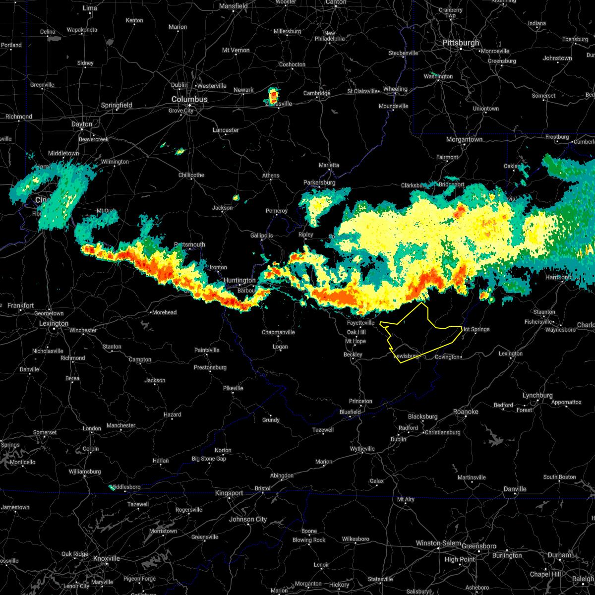 At 701 pm edt, severe thunderstorms were located along a line extending from 6 miles northwest of snowshoe to 6 miles north of ansted, moving south at 25 mph (radar indicated). Hazards include 60 mph wind gusts and quarter size hail. Hail damage to vehicles is expected. Expect wind damage to roofs, siding, and trees. At 701 pm edt, severe thunderstorms were located along a line extending from 6 miles northwest of snowshoe to 6 miles north of ansted, moving south at 25 mph (radar indicated). Hazards include 60 mph wind gusts and quarter size hail. Hail damage to vehicles is expected. Expect wind damage to roofs, siding, and trees.
|
| 8/6/2020 5:49 PM EDT |
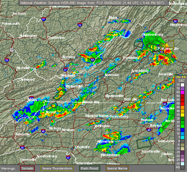 At 549 pm edt, a severe thunderstorm was located near williamsburg, or near rupert, moving northeast at 25 mph (radar indicated). Hazards include 60 mph wind gusts. expect damage to roofs, siding, and trees At 549 pm edt, a severe thunderstorm was located near williamsburg, or near rupert, moving northeast at 25 mph (radar indicated). Hazards include 60 mph wind gusts. expect damage to roofs, siding, and trees
|
| 8/6/2020 5:41 PM EDT |
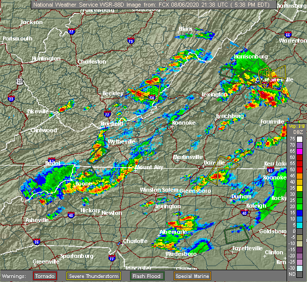 The severe thunderstorm warning for west central alleghany county in west central virginia and southeastern greenbrier counties in southeastern west virginia will expire at 545 pm edt, the storm which prompted the warning has moved out of the area. therefore, the warning will be allowed to expire. however small hail is still possible with this thunderstorm. when it is safe to do so, please send your reports of hail of any size, as well as reports of any wind damage, including downed trees or large limbs, to the national weather service by calling toll free at 1, 8 6 6, 2 1 5, 4 3 2 4. reports and pictures can also be shared on the national weather service blacksburg facebook page and on twitter. remember, a severe thunderstorm warning still remains in effect for northern greenbrier county. The severe thunderstorm warning for west central alleghany county in west central virginia and southeastern greenbrier counties in southeastern west virginia will expire at 545 pm edt, the storm which prompted the warning has moved out of the area. therefore, the warning will be allowed to expire. however small hail is still possible with this thunderstorm. when it is safe to do so, please send your reports of hail of any size, as well as reports of any wind damage, including downed trees or large limbs, to the national weather service by calling toll free at 1, 8 6 6, 2 1 5, 4 3 2 4. reports and pictures can also be shared on the national weather service blacksburg facebook page and on twitter. remember, a severe thunderstorm warning still remains in effect for northern greenbrier county.
|
| 8/6/2020 5:41 PM EDT |
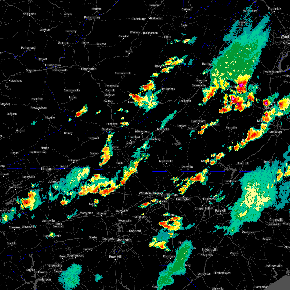 The severe thunderstorm warning for west central alleghany county in west central virginia and southeastern greenbrier counties in southeastern west virginia will expire at 545 pm edt, the storm which prompted the warning has moved out of the area. therefore, the warning will be allowed to expire. however small hail is still possible with this thunderstorm. when it is safe to do so, please send your reports of hail of any size, as well as reports of any wind damage, including downed trees or large limbs, to the national weather service by calling toll free at 1, 8 6 6, 2 1 5, 4 3 2 4. reports and pictures can also be shared on the national weather service blacksburg facebook page and on twitter. remember, a severe thunderstorm warning still remains in effect for northern greenbrier county. The severe thunderstorm warning for west central alleghany county in west central virginia and southeastern greenbrier counties in southeastern west virginia will expire at 545 pm edt, the storm which prompted the warning has moved out of the area. therefore, the warning will be allowed to expire. however small hail is still possible with this thunderstorm. when it is safe to do so, please send your reports of hail of any size, as well as reports of any wind damage, including downed trees or large limbs, to the national weather service by calling toll free at 1, 8 6 6, 2 1 5, 4 3 2 4. reports and pictures can also be shared on the national weather service blacksburg facebook page and on twitter. remember, a severe thunderstorm warning still remains in effect for northern greenbrier county.
|
| 8/6/2020 5:40 PM EDT | Tree down on sinking creek rd. time estimated from rada in greenbrier county WV, 8 miles SE of Lewisburg, WV |
| 8/6/2020 5:33 PM EDT |
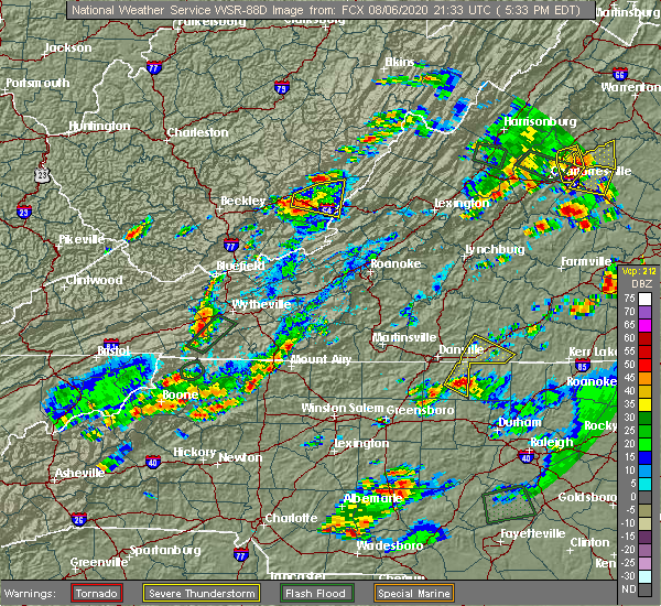 At 533 pm edt, a severe thunderstorm was located over lewisburg airport, or near lewisburg, moving east at 10 mph (radar indicated). Hazards include 60 mph wind gusts. Expect damage to roofs, siding, and trees. Locations impacted include, alleghany, lewisburg, white sulphur springs, renick, falling spring, asbury, and greenbrier river trail. At 533 pm edt, a severe thunderstorm was located over lewisburg airport, or near lewisburg, moving east at 10 mph (radar indicated). Hazards include 60 mph wind gusts. Expect damage to roofs, siding, and trees. Locations impacted include, alleghany, lewisburg, white sulphur springs, renick, falling spring, asbury, and greenbrier river trail.
|
| 8/6/2020 5:20 PM EDT |
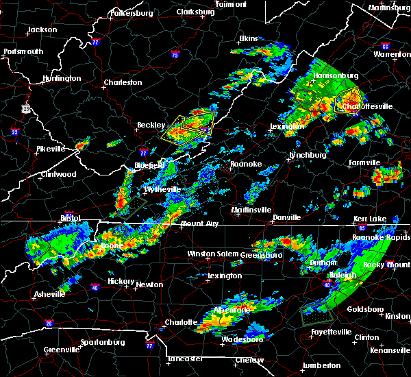 The severe thunderstorm warning for southwestern greenbrier, northeastern summers and north central monroe counties will expire at 530 pm edt, the storm which prompted the warning has weakened below severe limits, and no longer poses an immediate threat to life or property. therefore, the warning will be allowed to expire. however heavy rain is still possible with this thunderstorm. when it is safe to do so, please send your reports of hail of any size, as well as reports of any wind damage, including downed trees or large limbs, to the national weather service by calling toll free at 1, 8 6 6, 2 1 5, 4 3 2 4. reports and pictures can also be shared on the national weather service blacksburg facebook page and on twitter. The severe thunderstorm warning for southwestern greenbrier, northeastern summers and north central monroe counties will expire at 530 pm edt, the storm which prompted the warning has weakened below severe limits, and no longer poses an immediate threat to life or property. therefore, the warning will be allowed to expire. however heavy rain is still possible with this thunderstorm. when it is safe to do so, please send your reports of hail of any size, as well as reports of any wind damage, including downed trees or large limbs, to the national weather service by calling toll free at 1, 8 6 6, 2 1 5, 4 3 2 4. reports and pictures can also be shared on the national weather service blacksburg facebook page and on twitter.
|
| 8/6/2020 5:07 PM EDT |
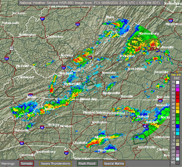 At 507 pm edt, a severe thunderstorm was located over alderson, moving northeast at 30 mph (radar indicated). Hazards include 60 mph wind gusts and quarter size hail. Hail damage to vehicles is expected. expect wind damage to roofs, siding, and trees. locations impacted include, lewisburg, white sulphur springs, ronceverte, alderson, asbury, greenbrier river trail, and lawn. This includes the following location the west virginia state fairgrounds. At 507 pm edt, a severe thunderstorm was located over alderson, moving northeast at 30 mph (radar indicated). Hazards include 60 mph wind gusts and quarter size hail. Hail damage to vehicles is expected. expect wind damage to roofs, siding, and trees. locations impacted include, lewisburg, white sulphur springs, ronceverte, alderson, asbury, greenbrier river trail, and lawn. This includes the following location the west virginia state fairgrounds.
|
| 8/6/2020 4:52 PM EDT |
 At 452 pm edt, a severe thunderstorm was located near talcott, or near alderson, moving northeast at 30 mph (radar indicated). Hazards include 60 mph wind gusts and quarter size hail. Hail damage to vehicles is expected. Expect wind damage to roofs, siding, and trees. At 452 pm edt, a severe thunderstorm was located near talcott, or near alderson, moving northeast at 30 mph (radar indicated). Hazards include 60 mph wind gusts and quarter size hail. Hail damage to vehicles is expected. Expect wind damage to roofs, siding, and trees.
|
| 8/6/2020 4:45 PM EDT |
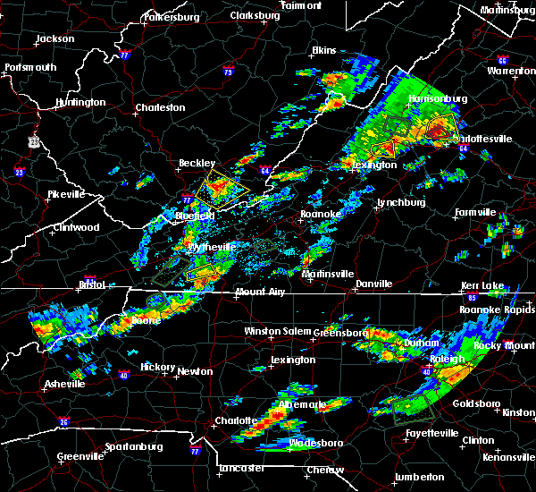 At 445 pm edt, a severe thunderstorm was located near maxwelton, or near lewisburg, moving east at 10 mph (radar indicated). Hazards include 60 mph wind gusts and quarter size hail. Hail damage to vehicles is expected. Expect wind damage to roofs, siding, and trees. At 445 pm edt, a severe thunderstorm was located near maxwelton, or near lewisburg, moving east at 10 mph (radar indicated). Hazards include 60 mph wind gusts and quarter size hail. Hail damage to vehicles is expected. Expect wind damage to roofs, siding, and trees.
|
| 7/22/2020 9:18 PM EDT |
 At 918 pm edt, severe thunderstorms were located along a line extending from near burnsville to near gap mills, moving east at 40 mph (radar indicated). Hazards include 60 mph wind gusts and quarter size hail. Hail damage to vehicles is expected. expect wind damage to roofs, siding, and trees. locations impacted include, alleghany, covington, clifton forge, lewisburg, white sulphur springs, ronceverte, and athens. This includes the following location the west virginia state fairgrounds. At 918 pm edt, severe thunderstorms were located along a line extending from near burnsville to near gap mills, moving east at 40 mph (radar indicated). Hazards include 60 mph wind gusts and quarter size hail. Hail damage to vehicles is expected. expect wind damage to roofs, siding, and trees. locations impacted include, alleghany, covington, clifton forge, lewisburg, white sulphur springs, ronceverte, and athens. This includes the following location the west virginia state fairgrounds.
|
| 7/22/2020 9:10 PM EDT |
 At 909 pm edt, severe thunderstorms were located along a line extending from near mountain grove to union, moving east at 40 mph (radar indicated). Hazards include 60 mph wind gusts and quarter size hail. Hail damage to vehicles is expected. expect wind damage to roofs, siding, and trees. locations impacted include, alleghany, covington, clifton forge, lewisburg, white sulphur springs, ronceverte, and alderson. This includes the following location the west virginia state fairgrounds. At 909 pm edt, severe thunderstorms were located along a line extending from near mountain grove to union, moving east at 40 mph (radar indicated). Hazards include 60 mph wind gusts and quarter size hail. Hail damage to vehicles is expected. expect wind damage to roofs, siding, and trees. locations impacted include, alleghany, covington, clifton forge, lewisburg, white sulphur springs, ronceverte, and alderson. This includes the following location the west virginia state fairgrounds.
|
| 7/22/2020 8:55 PM EDT |
 At 854 pm edt, severe thunderstorms were located along a line extending from 6 miles northwest of mountain grove to near wayside, moving east at 40 mph (radar indicated). Hazards include 60 mph wind gusts and quarter size hail. Hail damage to vehicles is expected. expect wind damage to roofs, siding, and trees. locations impacted include, alleghany, covington, clifton forge, lewisburg, white sulphur springs, ronceverte, and alderson. This includes the following location the west virginia state fairgrounds. At 854 pm edt, severe thunderstorms were located along a line extending from 6 miles northwest of mountain grove to near wayside, moving east at 40 mph (radar indicated). Hazards include 60 mph wind gusts and quarter size hail. Hail damage to vehicles is expected. expect wind damage to roofs, siding, and trees. locations impacted include, alleghany, covington, clifton forge, lewisburg, white sulphur springs, ronceverte, and alderson. This includes the following location the west virginia state fairgrounds.
|
| 7/22/2020 8:53 PM EDT | Strong winds caused a tree to fall along route 219 in fairle in greenbrier county WV, 2.4 miles NE of Lewisburg, WV |
| 7/22/2020 8:38 PM EDT |
 At 837 pm edt, severe thunderstorms were located along a line extending from near beartown state park to lick creek, moving east at 40 mph (radar indicated). Hazards include 60 mph wind gusts and quarter size hail. Hail damage to vehicles is expected. Expect wind damage to roofs, siding, and trees. At 837 pm edt, severe thunderstorms were located along a line extending from near beartown state park to lick creek, moving east at 40 mph (radar indicated). Hazards include 60 mph wind gusts and quarter size hail. Hail damage to vehicles is expected. Expect wind damage to roofs, siding, and trees.
|
| 7/16/2020 5:31 PM EDT | Radar estimated time-trees down along lost word road near lost world caverns in lewisburg... w in greenbrier county WV, 1.7 miles SSE of Lewisburg, WV |
| 7/10/2020 5:57 PM EDT |
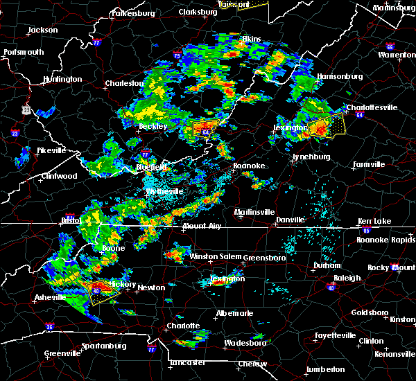 At 557 pm edt, a severe thunderstorm was located near lewisburg airport, or near white sulphur springs, moving east at 15 mph (radar indicated). Hazards include 60 mph wind gusts. Expect damage to roofs, siding, and trees. locations impacted include, lewisburg, white sulphur springs, ronceverte, fairlea, greenbrier river trail, roaring mountain summit, and lewisburg airport. This includes the following location the west virginia state fairgrounds. At 557 pm edt, a severe thunderstorm was located near lewisburg airport, or near white sulphur springs, moving east at 15 mph (radar indicated). Hazards include 60 mph wind gusts. Expect damage to roofs, siding, and trees. locations impacted include, lewisburg, white sulphur springs, ronceverte, fairlea, greenbrier river trail, roaring mountain summit, and lewisburg airport. This includes the following location the west virginia state fairgrounds.
|
| 7/10/2020 5:40 PM EDT | Greenbrier 911 center reports about 20 trees down in the lewisburg and fairlea areas. roughly from 5:40 to 5:50 p in greenbrier county WV, 1 miles ENE of Lewisburg, WV |
| 7/10/2020 5:38 PM EDT |
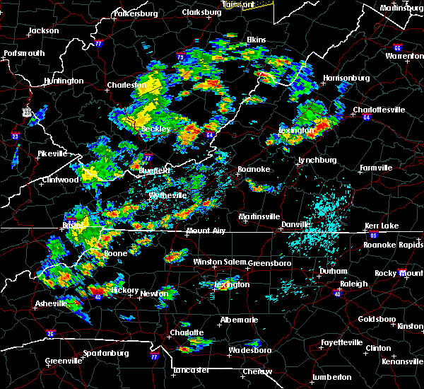 At 538 pm edt, a severe thunderstorm was located over lewisburg, moving east at 10 mph (radar indicated). Hazards include 60 mph wind gusts and quarter size hail. Hail damage to vehicles is expected. Expect wind damage to roofs, siding, and trees. At 538 pm edt, a severe thunderstorm was located over lewisburg, moving east at 10 mph (radar indicated). Hazards include 60 mph wind gusts and quarter size hail. Hail damage to vehicles is expected. Expect wind damage to roofs, siding, and trees.
|
| 6/6/2020 8:42 PM EDT |
 The severe thunderstorm warning for southern alleghany, northern botetourt counties in west central virginia and south central greenbrier counties in southeastern west virginia and the city of covington will expire at 845 pm edt, the storms which prompted the warning have weakened below severe limits, and no longer pose an immediate threat to life or property. therefore, the warning will be allowed to expire. heavy rainfall and occasional lightning along with wind gusts to 30 mph can still be expected for the next 30 minutes or so. when it is safe to do so, please send your reports of hail of any size, as well as reports of any wind damage, including downed trees or large limbs, to the national weather service by calling toll free at 1, 8 6 6, 2 1 5, 4 3 2 4. reports and pictures can also be shared on the national weather service blacksburg facebook page and on twitter. The severe thunderstorm warning for southern alleghany, northern botetourt counties in west central virginia and south central greenbrier counties in southeastern west virginia and the city of covington will expire at 845 pm edt, the storms which prompted the warning have weakened below severe limits, and no longer pose an immediate threat to life or property. therefore, the warning will be allowed to expire. heavy rainfall and occasional lightning along with wind gusts to 30 mph can still be expected for the next 30 minutes or so. when it is safe to do so, please send your reports of hail of any size, as well as reports of any wind damage, including downed trees or large limbs, to the national weather service by calling toll free at 1, 8 6 6, 2 1 5, 4 3 2 4. reports and pictures can also be shared on the national weather service blacksburg facebook page and on twitter.
|
| 6/6/2020 8:24 PM EDT |
 At 823 pm edt, severe thunderstorms were located along a line extending from oronoco to near gala to near jordan mines, moving southeast at 30 mph (radar indicated). Hazards include 60 mph wind gusts. Expect damage to roofs, siding, and trees. locations impacted include, alleghany, covington, lewisburg, white sulphur springs, ronceverte, eagle rock, and jordan mines. This includes the following location the west virginia state fairgrounds. At 823 pm edt, severe thunderstorms were located along a line extending from oronoco to near gala to near jordan mines, moving southeast at 30 mph (radar indicated). Hazards include 60 mph wind gusts. Expect damage to roofs, siding, and trees. locations impacted include, alleghany, covington, lewisburg, white sulphur springs, ronceverte, eagle rock, and jordan mines. This includes the following location the west virginia state fairgrounds.
|
| 6/6/2020 7:52 PM EDT |
 At 750 pm edt, severe thunderstorms were located along a line extending from rockbridge baths to near selma to near white sulphur springs, moving southeast at 25 mph (radar indicated). Hazards include 60 mph wind gusts. expect damage to roofs, siding, and trees At 750 pm edt, severe thunderstorms were located along a line extending from rockbridge baths to near selma to near white sulphur springs, moving southeast at 25 mph (radar indicated). Hazards include 60 mph wind gusts. expect damage to roofs, siding, and trees
|
| 6/6/2020 7:40 PM EDT |
 At 739 pm edt, severe thunderstorms were located along a line extending from near goshen to near alvon to rainelle, moving east at 30 mph (radar indicated). Hazards include 60 mph wind gusts and quarter size hail. Hail damage to vehicles is expected. expect wind damage to roofs, siding, and trees. Locations impacted include, clifton forge, lewisburg, white sulphur springs, rupert, goshen, quinwood, and renick. At 739 pm edt, severe thunderstorms were located along a line extending from near goshen to near alvon to rainelle, moving east at 30 mph (radar indicated). Hazards include 60 mph wind gusts and quarter size hail. Hail damage to vehicles is expected. expect wind damage to roofs, siding, and trees. Locations impacted include, clifton forge, lewisburg, white sulphur springs, rupert, goshen, quinwood, and renick.
|
| 6/6/2020 7:25 PM EDT |
 At 725 pm edt, severe thunderstorms were located along a line extending from near nimrod hall to bingham, moving southeast at 25 mph (radar indicated). Hazards include 60 mph wind gusts and quarter size hail. Hail damage to vehicles is expected. expect wind damage to roofs, siding, and trees. Locations impacted include, clifton forge, lewisburg, white sulphur springs, rainelle, rupert, goshen, and quinwood. At 725 pm edt, severe thunderstorms were located along a line extending from near nimrod hall to bingham, moving southeast at 25 mph (radar indicated). Hazards include 60 mph wind gusts and quarter size hail. Hail damage to vehicles is expected. expect wind damage to roofs, siding, and trees. Locations impacted include, clifton forge, lewisburg, white sulphur springs, rainelle, rupert, goshen, and quinwood.
|
| 6/6/2020 7:11 PM EDT |
 At 710 pm edt, severe thunderstorms were located along a line extending from near warm springs to 6 miles northwest of bingham, moving southeast at 25 mph (radar indicated). Hazards include 60 mph wind gusts and quarter size hail. Hail damage to vehicles is expected. Expect wind damage to roofs, siding, and trees. At 710 pm edt, severe thunderstorms were located along a line extending from near warm springs to 6 miles northwest of bingham, moving southeast at 25 mph (radar indicated). Hazards include 60 mph wind gusts and quarter size hail. Hail damage to vehicles is expected. Expect wind damage to roofs, siding, and trees.
|
| 1/11/2020 9:11 PM EST |
 At 911 pm est, severe thunderstorms were located along a line extending from near beartown state park to near glenvar, moving east at 50 mph (radar indicated). Hazards include 70 mph wind gusts. Expect considerable tree damage. damage is likely to mobile homes, roofs, and outbuildings. locations impacted include, blacksburg, christiansburg, radford, alleghany, pulaski, covington, and lewisburg. This includes the following locations virginia tech and the west virginia state fairgrounds. At 911 pm est, severe thunderstorms were located along a line extending from near beartown state park to near glenvar, moving east at 50 mph (radar indicated). Hazards include 70 mph wind gusts. Expect considerable tree damage. damage is likely to mobile homes, roofs, and outbuildings. locations impacted include, blacksburg, christiansburg, radford, alleghany, pulaski, covington, and lewisburg. This includes the following locations virginia tech and the west virginia state fairgrounds.
|
| 1/11/2020 8:44 PM EST |
 At 844 pm est, severe thunderstorms were located along a line extending from near williamsburg to near copper valley, moving northeast at 85 mph (radar indicated). Hazards include 70 mph wind gusts. Expect considerable tree damage. Damage is likely to mobile homes, roofs, and outbuildings. At 844 pm est, severe thunderstorms were located along a line extending from near williamsburg to near copper valley, moving northeast at 85 mph (radar indicated). Hazards include 70 mph wind gusts. Expect considerable tree damage. Damage is likely to mobile homes, roofs, and outbuildings.
|
| 10/31/2019 4:13 PM EDT |
 The severe thunderstorm warning for central giles, greenbrier, southeastern summers and monroe counties will expire at 415 pm edt, the storms which prompted the warning have moved out of the area. therefore, the warning will be allowed to expire. however gusty winds are still possible. a tornado watch remains in effect until 700 pm edt for southwestern virginia, and southeastern west virginia. a tornado watch also remains in effect until 1100 pm edt for southwestern and west central virginia. when it is safe to do so, please send your reports of hail of any size, as well as reports of any wind damage, including downed trees or large limbs, to the national weather service by calling toll free at 1, 8 6 6, 2 1 5, 4 3 2 4. reports and pictures can also be shared on the national weather service blacksburg facebook page and on twitter. remember, a severe thunderstorm warning still remains in effect for eastern greenbrier county until 530 pm edt. The severe thunderstorm warning for central giles, greenbrier, southeastern summers and monroe counties will expire at 415 pm edt, the storms which prompted the warning have moved out of the area. therefore, the warning will be allowed to expire. however gusty winds are still possible. a tornado watch remains in effect until 700 pm edt for southwestern virginia, and southeastern west virginia. a tornado watch also remains in effect until 1100 pm edt for southwestern and west central virginia. when it is safe to do so, please send your reports of hail of any size, as well as reports of any wind damage, including downed trees or large limbs, to the national weather service by calling toll free at 1, 8 6 6, 2 1 5, 4 3 2 4. reports and pictures can also be shared on the national weather service blacksburg facebook page and on twitter. remember, a severe thunderstorm warning still remains in effect for eastern greenbrier county until 530 pm edt.
|
| 10/31/2019 4:13 PM EDT |
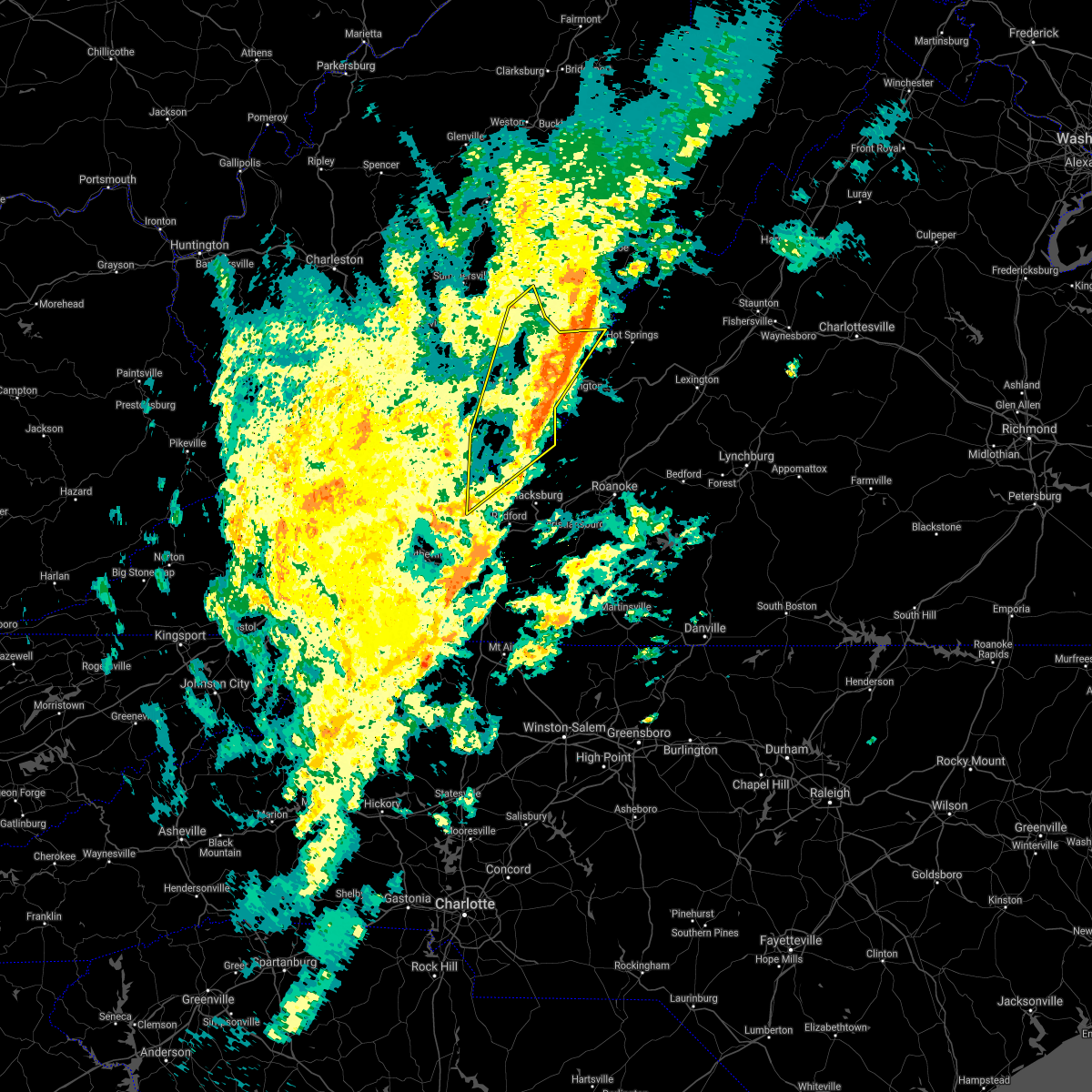 The severe thunderstorm warning for central giles, greenbrier, southeastern summers and monroe counties will expire at 415 pm edt, the storms which prompted the warning have moved out of the area. therefore, the warning will be allowed to expire. however gusty winds are still possible. a tornado watch remains in effect until 700 pm edt for southwestern virginia, and southeastern west virginia. a tornado watch also remains in effect until 1100 pm edt for southwestern and west central virginia. when it is safe to do so, please send your reports of hail of any size, as well as reports of any wind damage, including downed trees or large limbs, to the national weather service by calling toll free at 1, 8 6 6, 2 1 5, 4 3 2 4. reports and pictures can also be shared on the national weather service blacksburg facebook page and on twitter. remember, a severe thunderstorm warning still remains in effect for eastern greenbrier county until 530 pm edt. The severe thunderstorm warning for central giles, greenbrier, southeastern summers and monroe counties will expire at 415 pm edt, the storms which prompted the warning have moved out of the area. therefore, the warning will be allowed to expire. however gusty winds are still possible. a tornado watch remains in effect until 700 pm edt for southwestern virginia, and southeastern west virginia. a tornado watch also remains in effect until 1100 pm edt for southwestern and west central virginia. when it is safe to do so, please send your reports of hail of any size, as well as reports of any wind damage, including downed trees or large limbs, to the national weather service by calling toll free at 1, 8 6 6, 2 1 5, 4 3 2 4. reports and pictures can also be shared on the national weather service blacksburg facebook page and on twitter. remember, a severe thunderstorm warning still remains in effect for eastern greenbrier county until 530 pm edt.
|
| 10/31/2019 3:56 PM EDT |
 At 355 pm edt, severe thunderstorms were located along a line extending from rorer to near pearisburg, moving northeast at 75 mph (law enforcement reported trees down in tazewell county). Hazards include 60 mph wind gusts. Expect damage to roofs, siding, and trees. locations impacted include, lewisburg, pearisburg, white sulphur springs, narrows, ronceverte, alderson, and pembroke. this includes the following location the west virginia state fairgrounds. a tornado watch remains in effect until 700 pm edt for southwestern virginia, and southeastern west virginia. A tornado watch also remains in effect until 1100 pm edt for southwestern and west central virginia. At 355 pm edt, severe thunderstorms were located along a line extending from rorer to near pearisburg, moving northeast at 75 mph (law enforcement reported trees down in tazewell county). Hazards include 60 mph wind gusts. Expect damage to roofs, siding, and trees. locations impacted include, lewisburg, pearisburg, white sulphur springs, narrows, ronceverte, alderson, and pembroke. this includes the following location the west virginia state fairgrounds. a tornado watch remains in effect until 700 pm edt for southwestern virginia, and southeastern west virginia. A tornado watch also remains in effect until 1100 pm edt for southwestern and west central virginia.
|
| 10/31/2019 3:31 PM EDT |
 At 330 pm edt, severe thunderstorms were located along a line extending from 6 miles south of mill creek to near pulaski, moving northeast at 70 mph (law enforcement reported trees down in tazewell county). Hazards include 60 mph wind gusts. Expect damage to roofs, siding, and trees. locations impacted include, bluefield, bland, princeton, lewisburg, pearisburg, hinton, and white sulphur springs. this includes the following locations the west virginia state fairgrounds and mercer county airport. a tornado watch remains in effect until 700 pm edt for southwestern virginia, and southeastern west virginia. A tornado watch also remains in effect until 1100 pm edt for southwestern and west central virginia. At 330 pm edt, severe thunderstorms were located along a line extending from 6 miles south of mill creek to near pulaski, moving northeast at 70 mph (law enforcement reported trees down in tazewell county). Hazards include 60 mph wind gusts. Expect damage to roofs, siding, and trees. locations impacted include, bluefield, bland, princeton, lewisburg, pearisburg, hinton, and white sulphur springs. this includes the following locations the west virginia state fairgrounds and mercer county airport. a tornado watch remains in effect until 700 pm edt for southwestern virginia, and southeastern west virginia. A tornado watch also remains in effect until 1100 pm edt for southwestern and west central virginia.
|
| 10/31/2019 3:17 PM EDT |
 At 316 pm edt, severe thunderstorms were located along a line extending from 10 miles east of addison (webster springs) to near wytheville, moving east at 45 mph (law enforcement reported trees down in tazewell county). Hazards include 60 mph wind gusts. Expect damage to roofs, siding, and trees. locations impacted include, bluefield, wytheville, bland, princeton, lewisburg, pearisburg, and hinton. this includes the following locations the west virginia state fairgrounds and mercer county airport. a tornado watch remains in effect until 700 pm edt for northwestern north carolina, southwestern virginia, and southeastern west virginia. A tornado watch also remains in effect until 1100 pm edt for northwestern north carolina, and southwestern and west central virginia. At 316 pm edt, severe thunderstorms were located along a line extending from 10 miles east of addison (webster springs) to near wytheville, moving east at 45 mph (law enforcement reported trees down in tazewell county). Hazards include 60 mph wind gusts. Expect damage to roofs, siding, and trees. locations impacted include, bluefield, wytheville, bland, princeton, lewisburg, pearisburg, and hinton. this includes the following locations the west virginia state fairgrounds and mercer county airport. a tornado watch remains in effect until 700 pm edt for northwestern north carolina, southwestern virginia, and southeastern west virginia. A tornado watch also remains in effect until 1100 pm edt for northwestern north carolina, and southwestern and west central virginia.
|
| 10/31/2019 2:45 PM EDT |
 At 242 pm edt, severe thunderstorms were located along a line extending from camden on gauley to near marion, moving northeast at 70 mph (radar indicated). Hazards include 60 mph wind gusts. expect damage to roofs, siding, and trees At 242 pm edt, severe thunderstorms were located along a line extending from camden on gauley to near marion, moving northeast at 70 mph (radar indicated). Hazards include 60 mph wind gusts. expect damage to roofs, siding, and trees
|
| 10/31/2019 2:45 PM EDT |
 The national weather service in blacksburg has issued a * severe thunderstorm warning for. giles county in southwestern virginia. smyth county in southwestern virginia. tazewell county in southwestern virginia. Bland county in southwestern virginia. The national weather service in blacksburg has issued a * severe thunderstorm warning for. giles county in southwestern virginia. smyth county in southwestern virginia. tazewell county in southwestern virginia. Bland county in southwestern virginia.
|
| 8/9/2019 3:42 PM EDT |
 The severe thunderstorm warning for southwestern alleghany county in west central virginia, greenbrier, summers and monroe counties in southeastern west virginia will expire at 345 pm edt, the storms which prompted the warning have weakened below severe limits, and no longer pose an immediate threat to life or property. these storms are still strong and capable of producing winds to near 50 mph. when it is safe to do so, please send your reports of hail of any size, as well as reports of any wind damage, including downed trees or large limbs, to the national weather service by calling toll free at 1, 8 6 6, 2 1 5, 4 3 2 4. reports and pictures can also be shared on the national weather service blacksburg facebook page and on twitter. The severe thunderstorm warning for southwestern alleghany county in west central virginia, greenbrier, summers and monroe counties in southeastern west virginia will expire at 345 pm edt, the storms which prompted the warning have weakened below severe limits, and no longer pose an immediate threat to life or property. these storms are still strong and capable of producing winds to near 50 mph. when it is safe to do so, please send your reports of hail of any size, as well as reports of any wind damage, including downed trees or large limbs, to the national weather service by calling toll free at 1, 8 6 6, 2 1 5, 4 3 2 4. reports and pictures can also be shared on the national weather service blacksburg facebook page and on twitter.
|
| 8/9/2019 3:24 PM EDT |
 At 321 pm edt, severe thunderstorms were located near jumping branch and north of quinwood, moving southeast at 30 mph (radar indicated). Hazards include 60 mph wind gusts and quarter size hail. Hail damage to vehicles is expected. expect wind damage to roofs, siding, and trees. Locations impacted include, alleghany, lewisburg, hinton, white sulphur springs, and ronceverte. At 321 pm edt, severe thunderstorms were located near jumping branch and north of quinwood, moving southeast at 30 mph (radar indicated). Hazards include 60 mph wind gusts and quarter size hail. Hail damage to vehicles is expected. expect wind damage to roofs, siding, and trees. Locations impacted include, alleghany, lewisburg, hinton, white sulphur springs, and ronceverte.
|
| 8/9/2019 2:49 PM EDT |
 At 248 pm edt, a severe thunderstorm was located near elton, moving southeast at 35 mph (radar indicated). Hazards include 60 mph wind gusts and quarter size hail. Hail damage to vehicles is expected. Expect wind damage to roofs, siding, and trees. At 248 pm edt, a severe thunderstorm was located near elton, moving southeast at 35 mph (radar indicated). Hazards include 60 mph wind gusts and quarter size hail. Hail damage to vehicles is expected. Expect wind damage to roofs, siding, and trees.
|
| 5/29/2019 5:12 PM EDT |
 The severe thunderstorm warning for alleghany county in west central virginia, craig county in southwestern virginia, northwestern botetourt county in west central virginia, south central greenbrier and eastern monroe counties in southeastern west virginia and the city of covington will expire at 515 pm edt, the storms which prompted the warning have moved east so a new warning has been issued. a severe thunderstorm watch remains in effect until 800 pm edt for central, south central, southwestern and west central virginia, and southeastern west virginia. when it is safe to do so, please send your reports of hail of any size, as well as reports of any wind damage, including downed trees or large limbs, to the national weather service by calling toll free at 1, 8 6 6, 2 1 5, 4 3 2 4. reports and pictures can also be shared on the national weather service blacksburg facebook page and on twitter. The severe thunderstorm warning for alleghany county in west central virginia, craig county in southwestern virginia, northwestern botetourt county in west central virginia, south central greenbrier and eastern monroe counties in southeastern west virginia and the city of covington will expire at 515 pm edt, the storms which prompted the warning have moved east so a new warning has been issued. a severe thunderstorm watch remains in effect until 800 pm edt for central, south central, southwestern and west central virginia, and southeastern west virginia. when it is safe to do so, please send your reports of hail of any size, as well as reports of any wind damage, including downed trees or large limbs, to the national weather service by calling toll free at 1, 8 6 6, 2 1 5, 4 3 2 4. reports and pictures can also be shared on the national weather service blacksburg facebook page and on twitter.
|
| 5/29/2019 4:59 PM EDT |
 At 459 pm edt, severe thunderstorms were located along a line extending from fairlea to near gap mills to near lindside, moving east at 40 mph (radar indicated). Hazards include 60 mph wind gusts. Expect damage to roofs, siding, and trees. locations impacted include, alleghany, covington, clifton forge, lewisburg, and white sulphur springs. This includes the following location the west virginia state fairgrounds. At 459 pm edt, severe thunderstorms were located along a line extending from fairlea to near gap mills to near lindside, moving east at 40 mph (radar indicated). Hazards include 60 mph wind gusts. Expect damage to roofs, siding, and trees. locations impacted include, alleghany, covington, clifton forge, lewisburg, and white sulphur springs. This includes the following location the west virginia state fairgrounds.
|
| 5/29/2019 4:55 PM EDT |
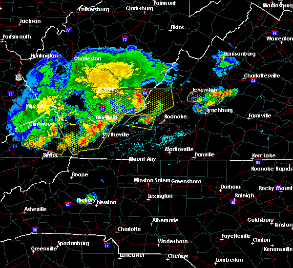 The severe thunderstorm warning for southwestern greenbrier and northeastern summers counties will expire at 500 pm edt, the storms which prompted the warning have moved out of the area. therefore, the warning will be allowed to expire. a severe thunderstorm watch remains in effect until 800 pm edt for southwestern and west central virginia, and southeastern west virginia. when it is safe to do so, please send your reports of hail of any size, as well as reports of any wind damage, including downed trees or large limbs, to the national weather service by calling toll free at 1, 8 6 6, 2 1 5, 4 3 2 4. reports and pictures can also be shared on the national weather service blacksburg facebook page and on twitter. The severe thunderstorm warning for southwestern greenbrier and northeastern summers counties will expire at 500 pm edt, the storms which prompted the warning have moved out of the area. therefore, the warning will be allowed to expire. a severe thunderstorm watch remains in effect until 800 pm edt for southwestern and west central virginia, and southeastern west virginia. when it is safe to do so, please send your reports of hail of any size, as well as reports of any wind damage, including downed trees or large limbs, to the national weather service by calling toll free at 1, 8 6 6, 2 1 5, 4 3 2 4. reports and pictures can also be shared on the national weather service blacksburg facebook page and on twitter.
|
| 5/29/2019 4:36 PM EDT |
 At 436 pm edt, severe thunderstorms were located along a line extending from near alderson to near wolfcreek to near elgood, moving east at 40 mph (radar indicated). Hazards include 60 mph wind gusts. expect damage to roofs, siding, and trees At 436 pm edt, severe thunderstorms were located along a line extending from near alderson to near wolfcreek to near elgood, moving east at 40 mph (radar indicated). Hazards include 60 mph wind gusts. expect damage to roofs, siding, and trees
|
| 5/29/2019 4:32 PM EDT |
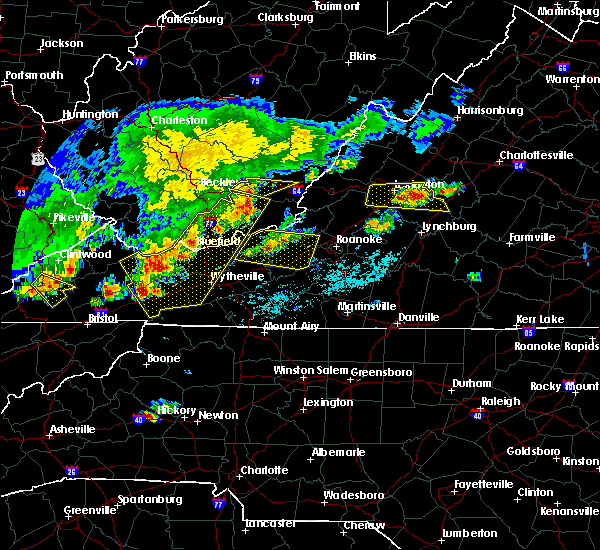 At 432 pm edt, severe thunderstorms were located along a line extending from near hix to lawn to near elton, moving east at 40 mph (radar indicated). Hazards include 60 mph wind gusts. Expect damage to roofs, siding, and trees. Locations impacted include, lewisburg, alderson, sandstone, asbury, and elton. At 432 pm edt, severe thunderstorms were located along a line extending from near hix to lawn to near elton, moving east at 40 mph (radar indicated). Hazards include 60 mph wind gusts. Expect damage to roofs, siding, and trees. Locations impacted include, lewisburg, alderson, sandstone, asbury, and elton.
|
| 5/29/2019 4:13 PM EDT |
 At 413 pm edt, severe thunderstorms were located along a line extending from shady spring to near elton to near piney view, moving east at 50 mph (radar indicated). Hazards include 60 mph wind gusts and quarter size hail. Hail damage to vehicles is expected. Expect wind damage to roofs, siding, and trees. At 413 pm edt, severe thunderstorms were located along a line extending from shady spring to near elton to near piney view, moving east at 50 mph (radar indicated). Hazards include 60 mph wind gusts and quarter size hail. Hail damage to vehicles is expected. Expect wind damage to roofs, siding, and trees.
|
| 5/29/2019 3:59 PM EDT |
 At 358 pm edt, severe thunderstorms were located along a line extending from 6 miles south of babcock state park to 8 miles west of prosperity, moving east at 35 mph. storms will be developing and moving in from the southwest (radar indicated). Hazards include 60 mph wind gusts and quarter size hail. Hail damage to vehicles is expected. expect wind damage to roofs, siding, and trees. Locations impacted include, lewisburg, rainelle, alderson, rupert, and quinwood. At 358 pm edt, severe thunderstorms were located along a line extending from 6 miles south of babcock state park to 8 miles west of prosperity, moving east at 35 mph. storms will be developing and moving in from the southwest (radar indicated). Hazards include 60 mph wind gusts and quarter size hail. Hail damage to vehicles is expected. expect wind damage to roofs, siding, and trees. Locations impacted include, lewisburg, rainelle, alderson, rupert, and quinwood.
|
| 5/29/2019 3:18 PM EDT |
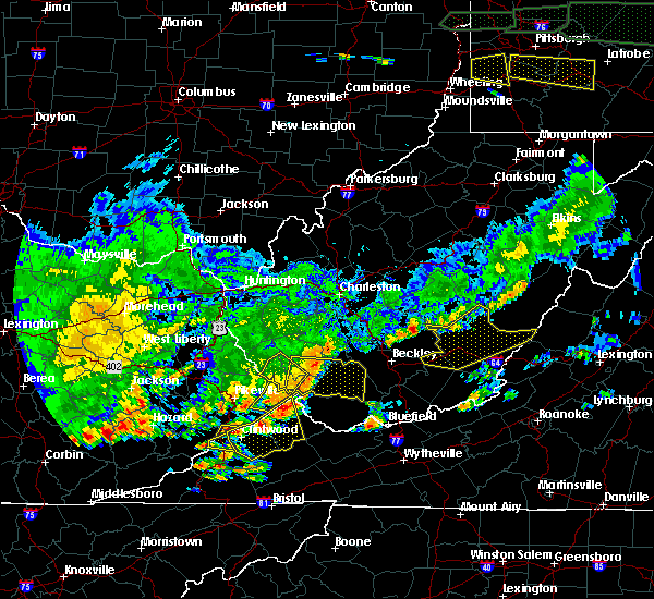 At 317 pm edt, severe thunderstorms were located from 6 miles north of quinwood, through babcock state park, to 8 miles south of burnwell, moving east at 45 mph (radar indicated). Hazards include 60 mph wind gusts and quarter size hail. Hail damage to vehicles is expected. Expect wind damage to roofs, siding, and trees. At 317 pm edt, severe thunderstorms were located from 6 miles north of quinwood, through babcock state park, to 8 miles south of burnwell, moving east at 45 mph (radar indicated). Hazards include 60 mph wind gusts and quarter size hail. Hail damage to vehicles is expected. Expect wind damage to roofs, siding, and trees.
|
| 5/23/2019 9:39 PM EDT |
 At 938 pm edt, a severe thunderstorm was located near asbury, moving southeast at 25 mph (radar indicated). Hazards include 60 mph wind gusts and quarter size hail. Hail damage to vehicles is expected. expect wind damage to roofs, siding, and trees. locations impacted include, lewisburg, ronceverte, alderson, union, and asbury. This includes the following location the west virginia state fairgrounds. At 938 pm edt, a severe thunderstorm was located near asbury, moving southeast at 25 mph (radar indicated). Hazards include 60 mph wind gusts and quarter size hail. Hail damage to vehicles is expected. expect wind damage to roofs, siding, and trees. locations impacted include, lewisburg, ronceverte, alderson, union, and asbury. This includes the following location the west virginia state fairgrounds.
|
| 5/23/2019 9:25 PM EDT |
 At 924 pm edt, a severe thunderstorm was located over meadow bluff, moving southeast at 25 mph (radar indicated). Hazards include 60 mph wind gusts and quarter size hail. Hail damage to vehicles is expected. Expect wind damage to roofs, siding, and trees. At 924 pm edt, a severe thunderstorm was located over meadow bluff, moving southeast at 25 mph (radar indicated). Hazards include 60 mph wind gusts and quarter size hail. Hail damage to vehicles is expected. Expect wind damage to roofs, siding, and trees.
|
| 5/19/2019 8:22 PM EDT |
 The severe thunderstorm warning for central greenbrier county will expire at 830 pm edt, the storm which prompted the warning has weakened below severe limits, and has exited the warned area. therefore, the warning will be allowed to expire. when it is safe to do so, please send your reports of hail of any size, as well as reports of any wind damage, including downed trees or large limbs, to the national weather service by calling toll free at 1, 8 6 6, 2 1 5, 4 3 2 4. reports and pictures can also be shared on the national weather service blacksburg facebook page and on twitter. The severe thunderstorm warning for central greenbrier county will expire at 830 pm edt, the storm which prompted the warning has weakened below severe limits, and has exited the warned area. therefore, the warning will be allowed to expire. when it is safe to do so, please send your reports of hail of any size, as well as reports of any wind damage, including downed trees or large limbs, to the national weather service by calling toll free at 1, 8 6 6, 2 1 5, 4 3 2 4. reports and pictures can also be shared on the national weather service blacksburg facebook page and on twitter.
|
| 5/19/2019 8:01 PM EDT |
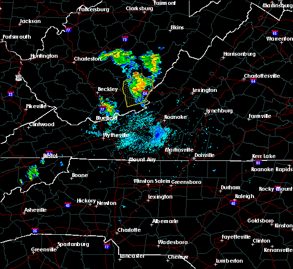 At 800 pm edt, a severe thunderstorm was located over maxwelton, moving northeast at 30 mph (radar indicated). Hazards include 60 mph wind gusts. Expect damage to roofs, siding, and trees. locations impacted include, lewisburg, white sulphur springs, ronceverte, renick, and falling spring. This includes the following location the west virginia state fairgrounds. At 800 pm edt, a severe thunderstorm was located over maxwelton, moving northeast at 30 mph (radar indicated). Hazards include 60 mph wind gusts. Expect damage to roofs, siding, and trees. locations impacted include, lewisburg, white sulphur springs, ronceverte, renick, and falling spring. This includes the following location the west virginia state fairgrounds.
|
| 5/19/2019 7:44 PM EDT |
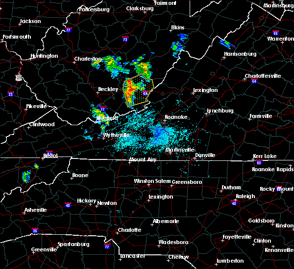 At 743 pm edt, a severe thunderstorm was located over asbury, moving northeast at 30 mph (radar indicated). Hazards include 60 mph wind gusts. Expect damage to roofs, siding, and trees. locations impacted include, lewisburg, white sulphur springs, ronceverte, alderson, and rupert. This includes the following location the west virginia state fairgrounds. At 743 pm edt, a severe thunderstorm was located over asbury, moving northeast at 30 mph (radar indicated). Hazards include 60 mph wind gusts. Expect damage to roofs, siding, and trees. locations impacted include, lewisburg, white sulphur springs, ronceverte, alderson, and rupert. This includes the following location the west virginia state fairgrounds.
|
| 5/19/2019 7:26 PM EDT |
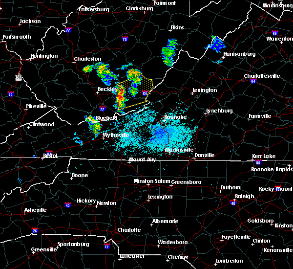 At 725 pm edt, a severe thunderstorm was located near glenray, moving northeast at 30 mph (radar indicated). Hazards include 60 mph wind gusts. expect damage to roofs, siding, and trees At 725 pm edt, a severe thunderstorm was located near glenray, moving northeast at 30 mph (radar indicated). Hazards include 60 mph wind gusts. expect damage to roofs, siding, and trees
|
| 4/14/2019 9:20 PM EDT |
 At 919 pm edt, severe thunderstorms were located along a line extending from richwood to bozoo, moving northeast at 60 mph (radar indicated). Hazards include 60 mph wind gusts. Expect damage to roofs, siding, and trees. locations impacted include, lewisburg, hinton, ronceverte, rainelle, and alderson. This includes the following location the west virginia state fairgrounds. At 919 pm edt, severe thunderstorms were located along a line extending from richwood to bozoo, moving northeast at 60 mph (radar indicated). Hazards include 60 mph wind gusts. Expect damage to roofs, siding, and trees. locations impacted include, lewisburg, hinton, ronceverte, rainelle, and alderson. This includes the following location the west virginia state fairgrounds.
|
| 4/14/2019 9:03 PM EDT |
 At 902 pm edt, severe thunderstorms were located along a line extending from near quinwood to near ceres, moving northeast at 55 mph (radar indicated). Hazards include 60 mph wind gusts. Expect damage to roofs, siding, and trees. locations impacted include, bluefield, princeton, lewisburg, hinton, and ronceverte. This includes the following locations the west virginia state fairgrounds and mercer county airport. At 902 pm edt, severe thunderstorms were located along a line extending from near quinwood to near ceres, moving northeast at 55 mph (radar indicated). Hazards include 60 mph wind gusts. Expect damage to roofs, siding, and trees. locations impacted include, bluefield, princeton, lewisburg, hinton, and ronceverte. This includes the following locations the west virginia state fairgrounds and mercer county airport.
|
| 4/14/2019 8:32 PM EDT |
 At 831 pm edt, severe thunderstorms were located along a line extending from near stanaford to near ceres, moving northeast at 60 mph (radar indicated). Hazards include 60 mph wind gusts. expect damage to roofs, siding, and trees At 831 pm edt, severe thunderstorms were located along a line extending from near stanaford to near ceres, moving northeast at 60 mph (radar indicated). Hazards include 60 mph wind gusts. expect damage to roofs, siding, and trees
|
| 8/5/2018 1:56 PM EDT |
 The severe thunderstorm warning for northwestern alleghany county in west central virginia and southeastern greenbrier counties in southeastern west virginia will expire at 200 pm edt, the storm which prompted the warning has weakened below severe limits, and no longer poses an immediate threat to life or property. therefore, the warning will be allowed to expire. when it is safe to do so, please send your reports of hail of any size, as well as reports of any wind damage, including downed trees or large limbs, to the national weather service by calling toll free at 1, 8 6 6, 2 1 5, 4 3 2 4. reports and pictures can also be shared on the national weather service blacksburg facebook page and on twitter. The severe thunderstorm warning for northwestern alleghany county in west central virginia and southeastern greenbrier counties in southeastern west virginia will expire at 200 pm edt, the storm which prompted the warning has weakened below severe limits, and no longer poses an immediate threat to life or property. therefore, the warning will be allowed to expire. when it is safe to do so, please send your reports of hail of any size, as well as reports of any wind damage, including downed trees or large limbs, to the national weather service by calling toll free at 1, 8 6 6, 2 1 5, 4 3 2 4. reports and pictures can also be shared on the national weather service blacksburg facebook page and on twitter.
|
| 8/5/2018 1:44 PM EDT |
 At 143 pm edt, a severe thunderstorm was located over alvon, moving east at 20 mph (radar indicated). Hazards include 60 mph wind gusts and quarter size hail. Hail damage to vehicles is expected. expect wind damage to roofs, siding, and trees. Locations impacted include, lewisburg, white sulphur springs, neola, lewisburg airport, and alvon. At 143 pm edt, a severe thunderstorm was located over alvon, moving east at 20 mph (radar indicated). Hazards include 60 mph wind gusts and quarter size hail. Hail damage to vehicles is expected. expect wind damage to roofs, siding, and trees. Locations impacted include, lewisburg, white sulphur springs, neola, lewisburg airport, and alvon.
|
| 8/5/2018 1:23 PM EDT |
 At 123 pm edt, a severe thunderstorm was located over lewisburg airport, moving east at 20 mph (radar indicated). Hazards include 60 mph wind gusts and quarter size hail. Hail damage to vehicles is expected. Expect wind damage to roofs, siding, and trees. At 123 pm edt, a severe thunderstorm was located over lewisburg airport, moving east at 20 mph (radar indicated). Hazards include 60 mph wind gusts and quarter size hail. Hail damage to vehicles is expected. Expect wind damage to roofs, siding, and trees.
|
| 6/22/2018 6:56 PM EDT |
 At 656 pm edt, a severe thunderstorm was located over greenbrier river trail, moving east at 35 mph (radar indicated). Hazards include 60 mph wind gusts and quarter size hail. Hail damage to vehicles is expected. expect wind damage to roofs, siding, and trees. locations impacted include, lewisburg, ronceverte, fairlea, greenbrier river trail, and lewisburg airport. This includes the following location the west virginia state fairgrounds. At 656 pm edt, a severe thunderstorm was located over greenbrier river trail, moving east at 35 mph (radar indicated). Hazards include 60 mph wind gusts and quarter size hail. Hail damage to vehicles is expected. expect wind damage to roofs, siding, and trees. locations impacted include, lewisburg, ronceverte, fairlea, greenbrier river trail, and lewisburg airport. This includes the following location the west virginia state fairgrounds.
|
| 6/22/2018 6:51 PM EDT | One tree blown down by thunderstorm winds near the intersection of east washington street and holt lane in greenbrier county WV, 0.6 miles NNE of Lewisburg, WV |
| 6/22/2018 6:41 PM EDT |
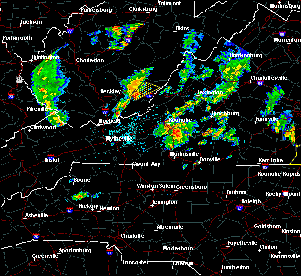 At 641 pm edt, a severe thunderstorm was located over asbury, moving northeast at 20 mph (radar indicated). Hazards include 60 mph wind gusts and quarter size hail. Hail damage to vehicles is expected. Expect wind damage to roofs, siding, and trees. At 641 pm edt, a severe thunderstorm was located over asbury, moving northeast at 20 mph (radar indicated). Hazards include 60 mph wind gusts and quarter size hail. Hail damage to vehicles is expected. Expect wind damage to roofs, siding, and trees.
|
| 5/15/2018 5:30 PM EDT | Trees down on route 12 near the interstate 64 intersectio in greenbrier county WV, 7.2 miles ESE of Lewisburg, WV |
| 5/5/2018 8:40 PM EDT |
 At 840 pm edt, severe thunderstorms were located along a line extending from near alvon to paint bank to near huffman, moving east at 45 mph (radar indicated). Hazards include 60 mph wind gusts and quarter size hail. Hail damage to vehicles is expected. expect wind damage to roofs, siding, and trees. Locations impacted include, alleghany, lewisburg, white sulphur springs, paint bank, and sinking creek. At 840 pm edt, severe thunderstorms were located along a line extending from near alvon to paint bank to near huffman, moving east at 45 mph (radar indicated). Hazards include 60 mph wind gusts and quarter size hail. Hail damage to vehicles is expected. expect wind damage to roofs, siding, and trees. Locations impacted include, alleghany, lewisburg, white sulphur springs, paint bank, and sinking creek.
|
| 5/5/2018 8:24 PM EDT |
 At 823 pm edt, severe thunderstorms were located along a line extending from near frankford to near cascades, moving east at 45 mph (radar indicated). Hazards include 60 mph wind gusts and quarter size hail. Hail damage to vehicles is expected. Expect wind damage to roofs, siding, and trees. At 823 pm edt, severe thunderstorms were located along a line extending from near frankford to near cascades, moving east at 45 mph (radar indicated). Hazards include 60 mph wind gusts and quarter size hail. Hail damage to vehicles is expected. Expect wind damage to roofs, siding, and trees.
|
| 10/23/2017 7:28 PM EDT |
 At 727 pm edt, severe thunderstorms were located along a line extending from near falling spring to near alleghany to near abbott, moving northeast at 70 mph (radar indicated). Hazards include 60 mph wind gusts and quarter size hail. Hail damage to vehicles is expected. Expect wind damage to roofs, siding, and trees. At 727 pm edt, severe thunderstorms were located along a line extending from near falling spring to near alleghany to near abbott, moving northeast at 70 mph (radar indicated). Hazards include 60 mph wind gusts and quarter size hail. Hail damage to vehicles is expected. Expect wind damage to roofs, siding, and trees.
|
| 3/1/2017 11:04 AM EST |
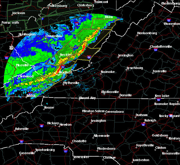 At 1103 am est, severe thunderstorms were located along a line extending from 10 miles east of addison (webster springs) to richwood to near meadow bluff, moving east at 65 mph (radar indicated). Hazards include 60 mph wind gusts and quarter size hail. Hail damage to vehicles is expected. expect wind damage to roofs, siding, and trees. locations impacted include, lewisburg, white sulphur springs, ronceverte, alderson, and rupert. This includes the following location the west virginia state fairgrounds. At 1103 am est, severe thunderstorms were located along a line extending from 10 miles east of addison (webster springs) to richwood to near meadow bluff, moving east at 65 mph (radar indicated). Hazards include 60 mph wind gusts and quarter size hail. Hail damage to vehicles is expected. expect wind damage to roofs, siding, and trees. locations impacted include, lewisburg, white sulphur springs, ronceverte, alderson, and rupert. This includes the following location the west virginia state fairgrounds.
|
| 3/1/2017 11:00 AM EST | Numerous trees and power lines reported down across the county including rainelle... lewisburg... alderson and williamsbur in greenbrier county WV, 1 miles ENE of Lewisburg, WV |
| 3/1/2017 10:35 AM EST |
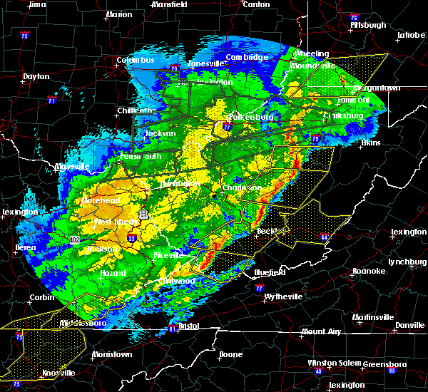 At 1033 am est, severe thunderstorms were located along a line extending from near birch river to northeast of ansted to near oak hill, moving east at 60 mph (radar indicated). Hazards include 60 mph wind gusts and quarter size hail. Hail damage to vehicles is expected. Expect wind damage to roofs, siding, and trees. At 1033 am est, severe thunderstorms were located along a line extending from near birch river to northeast of ansted to near oak hill, moving east at 60 mph (radar indicated). Hazards include 60 mph wind gusts and quarter size hail. Hail damage to vehicles is expected. Expect wind damage to roofs, siding, and trees.
|
| 9/26/2016 4:46 PM EDT |
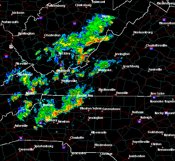 At 446 pm edt, a severe thunderstorm was located over organ cave, moving east at 30 mph (radar indicated). Hazards include 60 mph wind gusts. Expect damage to roofs. siding. and trees. locations impacted include, white sulphur springs, ronceverte, organ cave, roaring mountain summit, and greenbrier state forest. This includes the following location the west virginia state fairgrounds. At 446 pm edt, a severe thunderstorm was located over organ cave, moving east at 30 mph (radar indicated). Hazards include 60 mph wind gusts. Expect damage to roofs. siding. and trees. locations impacted include, white sulphur springs, ronceverte, organ cave, roaring mountain summit, and greenbrier state forest. This includes the following location the west virginia state fairgrounds.
|
| 9/26/2016 4:42 PM EDT | Tree down on dawkins dr in farlea. time radar estimate in greenbrier county WV, 4.1 miles NE of Lewisburg, WV |
| 9/26/2016 4:33 PM EDT |
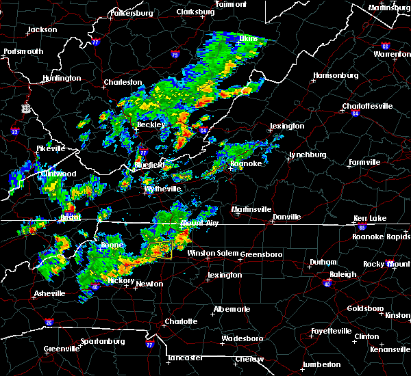 At 433 pm edt, a severe thunderstorm was located near ronceverte, moving east at 30 mph (radar indicated). Hazards include 60 mph wind gusts. Expect damage to roofs. siding. And trees. At 433 pm edt, a severe thunderstorm was located near ronceverte, moving east at 30 mph (radar indicated). Hazards include 60 mph wind gusts. Expect damage to roofs. siding. And trees.
|
| 8/17/2016 4:29 PM EDT |
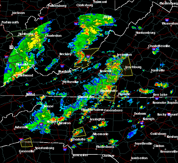 At 429 pm edt, severe thunderstorms were located along a line extending from near williamsburg to organ cave to raines corner, moving east at 30 mph (radar indicated). Hazards include 60 mph wind gusts. Expect damage to roofs. siding. And trees. At 429 pm edt, severe thunderstorms were located along a line extending from near williamsburg to organ cave to raines corner, moving east at 30 mph (radar indicated). Hazards include 60 mph wind gusts. Expect damage to roofs. siding. And trees.
|
| 7/4/2016 10:07 PM EDT |
 At 1006 pm edt, a severe thunderstorm was located over organ cave, moving east at 35 mph (radar indicated). Hazards include 60 mph wind gusts and nickel size hail. Expect damage to roofs. siding. and trees. locations impacted include, alleghany, covington, lewisburg, white sulphur springs, and ronceverte. This includes the west virginia state fairgrounds. At 1006 pm edt, a severe thunderstorm was located over organ cave, moving east at 35 mph (radar indicated). Hazards include 60 mph wind gusts and nickel size hail. Expect damage to roofs. siding. and trees. locations impacted include, alleghany, covington, lewisburg, white sulphur springs, and ronceverte. This includes the west virginia state fairgrounds.
|
| 7/4/2016 9:59 PM EDT |
 At 958 pm edt, a severe thunderstorm was located over organ cave, moving east at 35 mph (radar indicated). Hazards include 60 mph wind gusts and quarter size hail. Hail damage to vehicles is expected. Expect wind damage to roofs, siding, and trees. At 958 pm edt, a severe thunderstorm was located over organ cave, moving east at 35 mph (radar indicated). Hazards include 60 mph wind gusts and quarter size hail. Hail damage to vehicles is expected. Expect wind damage to roofs, siding, and trees.
|
| 6/27/2016 4:32 PM EDT |
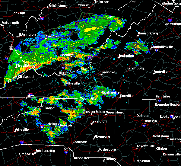 At 432 pm edt, severe thunderstorms were located along a line extending from rainelle to near lawn to near elton, moving southeast at 30 mph (radar indicated). Hazards include 60 mph wind gusts. Expect damage to roofs. siding. And trees. At 432 pm edt, severe thunderstorms were located along a line extending from rainelle to near lawn to near elton, moving southeast at 30 mph (radar indicated). Hazards include 60 mph wind gusts. Expect damage to roofs. siding. And trees.
|
| 6/23/2016 1:59 PM EDT |
 At 158 pm edt, severe thunderstorms were located along a line extending from near lexington to near eagle rock to near greenbrier river trail, moving east at 35 mph (radar indicated). Hazards include 60 mph wind gusts. Expect damage to roofs. siding. and trees. locations impacted include, alleghany, lexington, buena vista, covington, and white sulphur springs. This includes vmi. At 158 pm edt, severe thunderstorms were located along a line extending from near lexington to near eagle rock to near greenbrier river trail, moving east at 35 mph (radar indicated). Hazards include 60 mph wind gusts. Expect damage to roofs. siding. and trees. locations impacted include, alleghany, lexington, buena vista, covington, and white sulphur springs. This includes vmi.
|
| 6/23/2016 1:48 PM EDT |
 At 147 pm edt, severe thunderstorms were located along a line extending from collierstown to near oriskany to lewisburg, moving southeast at 35 mph (radar indicated). Hazards include 60 mph wind gusts. Expect damage to roofs. siding. and trees. locations impacted include, alleghany, lexington, buena vista, covington, and clifton forge. This includes vmi and the west virginia state fairgrounds. At 147 pm edt, severe thunderstorms were located along a line extending from collierstown to near oriskany to lewisburg, moving southeast at 35 mph (radar indicated). Hazards include 60 mph wind gusts. Expect damage to roofs. siding. and trees. locations impacted include, alleghany, lexington, buena vista, covington, and clifton forge. This includes vmi and the west virginia state fairgrounds.
|
| 6/23/2016 1:36 PM EDT |
 At 135 pm edt, severe thunderstorms were located along a line extending from near douthat state park to near jordan mines to near asbury, moving east at 35 mph (radar indicated). Hazards include 60 mph wind gusts. Expect damage to roofs. siding. And trees. At 135 pm edt, severe thunderstorms were located along a line extending from near douthat state park to near jordan mines to near asbury, moving east at 35 mph (radar indicated). Hazards include 60 mph wind gusts. Expect damage to roofs. siding. And trees.
|
| 6/23/2016 8:58 AM EDT |
 The severe thunderstorm warning for summers, greenbrier and monroe counties will expire at 900 am edt, the storms which prompted the warning have moved out of the area. therefore the warning will be allowed to expire. when it is safe to do so, please send your reports of hail of any size, as well as any reports of wind damage, including downed trees or large limbs, to the national weather service by calling toll free at 1, 8 6 6, 2 1 5, 4 3 2 4. reports and pictures can also be shared on the national weather service blacksburg facebook page and on twitter. The severe thunderstorm warning for summers, greenbrier and monroe counties will expire at 900 am edt, the storms which prompted the warning have moved out of the area. therefore the warning will be allowed to expire. when it is safe to do so, please send your reports of hail of any size, as well as any reports of wind damage, including downed trees or large limbs, to the national weather service by calling toll free at 1, 8 6 6, 2 1 5, 4 3 2 4. reports and pictures can also be shared on the national weather service blacksburg facebook page and on twitter.
|
| 6/23/2016 8:24 AM EDT |
 At 823 am edt, severe thunderstorms were located along a line extending from near beartown state park to near fairlea to near bluestone dam, moving southeast at 70 mph (radar indicated). Hazards include 70 mph wind gusts. Expect considerable tree damage. damage is likely to mobile homes, roofs, and outbuildings. locations impacted include, alleghany, lewisburg, hinton, white sulphur springs, and ronceverte. This includes the west virginia state fairgrounds. At 823 am edt, severe thunderstorms were located along a line extending from near beartown state park to near fairlea to near bluestone dam, moving southeast at 70 mph (radar indicated). Hazards include 70 mph wind gusts. Expect considerable tree damage. damage is likely to mobile homes, roofs, and outbuildings. locations impacted include, alleghany, lewisburg, hinton, white sulphur springs, and ronceverte. This includes the west virginia state fairgrounds.
|
| 6/23/2016 8:10 AM EDT |
 At 810 am edt, severe thunderstorms were located along a line extending from near leonard to near pipestem, moving southeast at 70 mph (radar indicated). Hazards include 60 mph wind gusts. Expect damage to roofs. siding. And trees. At 810 am edt, severe thunderstorms were located along a line extending from near leonard to near pipestem, moving southeast at 70 mph (radar indicated). Hazards include 60 mph wind gusts. Expect damage to roofs. siding. And trees.
|
| 6/23/2016 6:55 AM EDT |
 At 653 am edt, severe thunderstorms were located along a line extending from near natural well to babcock state park, moving southwest at 40 mph (radar indicated). Hazards include 60 mph wind gusts. Expect damage to roofs. siding. and trees. locations impacted include, lewisburg, hinton, white sulphur springs, ronceverte, and rainelle. This includes the west virginia state fairgrounds. At 653 am edt, severe thunderstorms were located along a line extending from near natural well to babcock state park, moving southwest at 40 mph (radar indicated). Hazards include 60 mph wind gusts. Expect damage to roofs. siding. and trees. locations impacted include, lewisburg, hinton, white sulphur springs, ronceverte, and rainelle. This includes the west virginia state fairgrounds.
|
| 6/23/2016 6:30 AM EDT |
 At 628 am edt, severe thunderstorms were located along a line extending from near mountain grove to near beartown state park to near duo to near gauley bridge, moving southeast at 45 mph (radar indicated). Hazards include 60 mph wind gusts. Expect damage to roofs. siding. and trees. locations impacted include, lewisburg, hinton, white sulphur springs, ronceverte, and rainelle. This includes the west virginia state fairgrounds. At 628 am edt, severe thunderstorms were located along a line extending from near mountain grove to near beartown state park to near duo to near gauley bridge, moving southeast at 45 mph (radar indicated). Hazards include 60 mph wind gusts. Expect damage to roofs. siding. and trees. locations impacted include, lewisburg, hinton, white sulphur springs, ronceverte, and rainelle. This includes the west virginia state fairgrounds.
|
| 6/23/2016 5:53 AM EDT |
 At 551 am edt, severe thunderstorms were located along a line extending from 8 miles west of webster springs to 6 miles north of summersville to near glen to alum creek, moving southeast at 45 mph (radar indicated). Hazards include 60 mph wind gusts. Expect damage to roofs. siding. And trees. At 551 am edt, severe thunderstorms were located along a line extending from 8 miles west of webster springs to 6 miles north of summersville to near glen to alum creek, moving southeast at 45 mph (radar indicated). Hazards include 60 mph wind gusts. Expect damage to roofs. siding. And trees.
|
| 5/1/2016 8:20 PM EDT | One tree down on stonehouse road in greenbrier county WV, 1.2 miles SW of Lewisburg, WV |
| 5/1/2016 8:18 PM EDT | One tree down on muddy creek mountain near asbury west virginia in greenbrier county WV, 4.7 miles E of Lewisburg, WV |
| 5/1/2016 8:16 PM EDT | One tree down along route 60 in alta west virginia in greenbrier county WV, 7.2 miles SE of Lewisburg, WV |
| 7/14/2015 7:02 PM EDT |
 At 659 pm edt, severe thunderstorms were located along a line extending from 10 miles southeast of holly river state to 11 miles northwest of marlinton to quinwood to near madison, moving east at 45 mph. scattered showers and thunderstorms are forming ahead of line and moving east around 30 mph (radar indicated). Hazards include 60 mph wind gusts and quarter size hail. Hail damage to vehicles is expected. expect wind damage to roofs, siding and trees. locations impacted include, alleghany, bluefield, princeton, covington, and lewisburg. This includes the west virginia state fairgrounds and mercer county airport. At 659 pm edt, severe thunderstorms were located along a line extending from 10 miles southeast of holly river state to 11 miles northwest of marlinton to quinwood to near madison, moving east at 45 mph. scattered showers and thunderstorms are forming ahead of line and moving east around 30 mph (radar indicated). Hazards include 60 mph wind gusts and quarter size hail. Hail damage to vehicles is expected. expect wind damage to roofs, siding and trees. locations impacted include, alleghany, bluefield, princeton, covington, and lewisburg. This includes the west virginia state fairgrounds and mercer county airport.
|
| 7/14/2015 6:38 PM EDT |
 At 637 pm edt, severe thunderstorms were located along a line extending from 7 miles south of addison (webster springs) to 6 miles southeast of burnwell to near whitepost, moving southeast at 50 mph (radar indicated). Hazards include 60 mph wind gusts and quarter size hail. Hail damage to vehicles is expected. Expect wind damage to roofs, siding and trees. At 637 pm edt, severe thunderstorms were located along a line extending from 7 miles south of addison (webster springs) to 6 miles southeast of burnwell to near whitepost, moving southeast at 50 mph (radar indicated). Hazards include 60 mph wind gusts and quarter size hail. Hail damage to vehicles is expected. Expect wind damage to roofs, siding and trees.
|
| 7/13/2015 6:25 PM EDT |
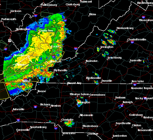 The national weather service in blacksburg has issued a * severe thunderstorm warning for. northern summers county in southeastern west virginia. greenbrier county in southeastern west virginia. northern monroe county in southeastern west virginia. Until 730 pm edt. The national weather service in blacksburg has issued a * severe thunderstorm warning for. northern summers county in southeastern west virginia. greenbrier county in southeastern west virginia. northern monroe county in southeastern west virginia. Until 730 pm edt.
|
| 6/1/2015 3:14 PM EDT | At 313 pm edt, a severe thunderstorm was located over greenbrier state forest, moving northeast at 30 mph (radar indicated). Hazards include 60 mph wind gusts and quarter size hail. Hail damage to vehicles is expected. expect wind damage to trees. Locations impacted include, alleghany, white sulphur springs, ronceverte, organ cave, and roaring mountain summit. |
| 6/1/2015 3:14 PM EDT | At 313 pm edt, a severe thunderstorm was located over greenbrier state forest, moving northeast at 30 mph (radar indicated). Hazards include 60 mph wind gusts and quarter size hail. Hail damage to vehicles is expected. expect wind damage to trees. Locations impacted include, alleghany, white sulphur springs, ronceverte, organ cave, and roaring mountain summit. |
| 6/1/2015 2:51 PM EDT | At 250 pm edt, a severe thunderstorm was located over pickaway, moving northeast at 30 mph (radar indicated). Hazards include 60 mph wind gusts and quarter size hail. Hail damage to vehicles is expected. Expect wind damage to roofs, siding and trees. |
| 6/1/2015 2:51 PM EDT | At 250 pm edt, a severe thunderstorm was located over pickaway, moving northeast at 30 mph (radar indicated). Hazards include 60 mph wind gusts and quarter size hail. Hail damage to vehicles is expected. Expect wind damage to roofs, siding and trees. |
| 6/10/2014 10:33 PM EDT | Tree down in lewisburg in greenbrier county WV, 1 miles ENE of Lewisburg, WV |
| 6/13/2013 2:15 PM EDT | Several trees down at boggs and vago roads. power outages in greenbrier county WV, 1.7 miles SSE of Lewisburg, WV |
| 8/24/2012 6:35 PM EDT | Quarter sized hail reported 6.8 miles ESE of Lewisburg, WV, up to quarter size hail at mile marker 162 on i-64 |
| 6/29/2012 8:35 PM EDT | Wind gust measured at the greenbrier valley airport in greenbrier county WV, 4.1 miles SSW of Lewisburg, WV |
| 6/29/2012 7:55 PM EDT | This wind gust was measured with home weather equipmen in greenbrier county WV, 4.5 miles SSW of Lewisburg, WV |
| 6/29/2012 7:55 PM EDT | A few large trees were blown down along hwy 21 in greenbrier county WV, 4.5 miles SSW of Lewisburg, WV |
| 1/1/0001 12:00 AM | One tree down on brush road in greenbrier county WV, 4.2 miles SW of Lewisburg, WV |
| 1/1/0001 12:00 AM | Trees down blocking muddy creek mountain road in greenbrier county WV, 1 miles ENE of Lewisburg, WV |
| 1/1/0001 12:00 AM | Quarter sized hail reported 1.3 miles NNW of Lewisburg, WV, quarter size hail east of lewisburg |
| 1/1/0001 12:00 AM | Four or five large limbs down blocking a few roads around lewisbur in greenbrier county WV, 1 miles ENE of Lewisburg, WV |
| 1/1/0001 12:00 AM | Part of tree blown down at carnegie hall in greenbrier county WV, 1 miles ENE of Lewisburg, WV |
| 1/1/0001 12:00 AM | Golf Ball sized hail reported 1 miles ENE of Lewisburg, WV, 2 to 3 mintues of hail |
| 1/1/0001 12:00 AM | Tree down on a vehicle on judyville road in greenbrier county WV, 1 miles NW of Lewisburg, WV |
| 1/1/0001 12:00 AM | Ping Pong Ball sized hail reported 1 miles ENE of Lewisburg, WV, hail fell on south jefferson street. |
| 1/1/0001 12:00 AM | Half Dollar sized hail reported 0.8 miles E of Lewisburg, WV |
| 1/1/0001 12:00 AM | Hen Egg sized hail reported 1 miles ENE of Lewisburg, WV |
| 1/1/0001 12:00 AM | Golf Ball sized hail reported 1.5 miles ENE of Lewisburg, WV, hail fell on mcelheny drive. |
| 1/1/0001 12:00 AM | Golf Ball sized hail reported 1 miles ENE of Lewisburg, WV, hail fell on layfette street. |
| 1/1/0001 12:00 AM | Golf Ball sized hail reported 1.5 miles ENE of Lewisburg, WV, hail fell on mcelheny drive. |
| 1/1/0001 12:00 AM | Golf Ball sized hail reported 2.4 miles NE of Lewisburg, WV, hail fell on sidney avenue. |
| 1/1/0001 12:00 AM | Golf Ball sized hail reported 1.5 miles NNE of Lewisburg, WV, 1 7/8ths inch hail measured on frazier street. |
| 1/1/0001 12:00 AM | Trees down on rt 219 north of interstate 64. time estimated by rada in greenbrier county WV, 1.7 miles SSW of Lewisburg, WV |
| 1/1/0001 12:00 AM | Trees down on rt 219 north of interstate 64. time estimated by rada in greenbrier county WV, 1.7 miles SSW of Lewisburg, WV |
| 1/1/0001 12:00 AM | 3 homes damaged due to falling trees in the lewisburg are in greenbrier county WV, 1 miles ENE of Lewisburg, WV |
| 1/1/0001 12:00 AM | Greenbrier eoc reports damage in several towns across the county. numerous trees are down and some structures are damaged. the eoc are still collecting specific details in greenbrier county WV, 1 miles ENE of Lewisburg, WV |
Hail Maps for Lewisburg, WV


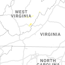


Connect with Interactive Hail Maps