

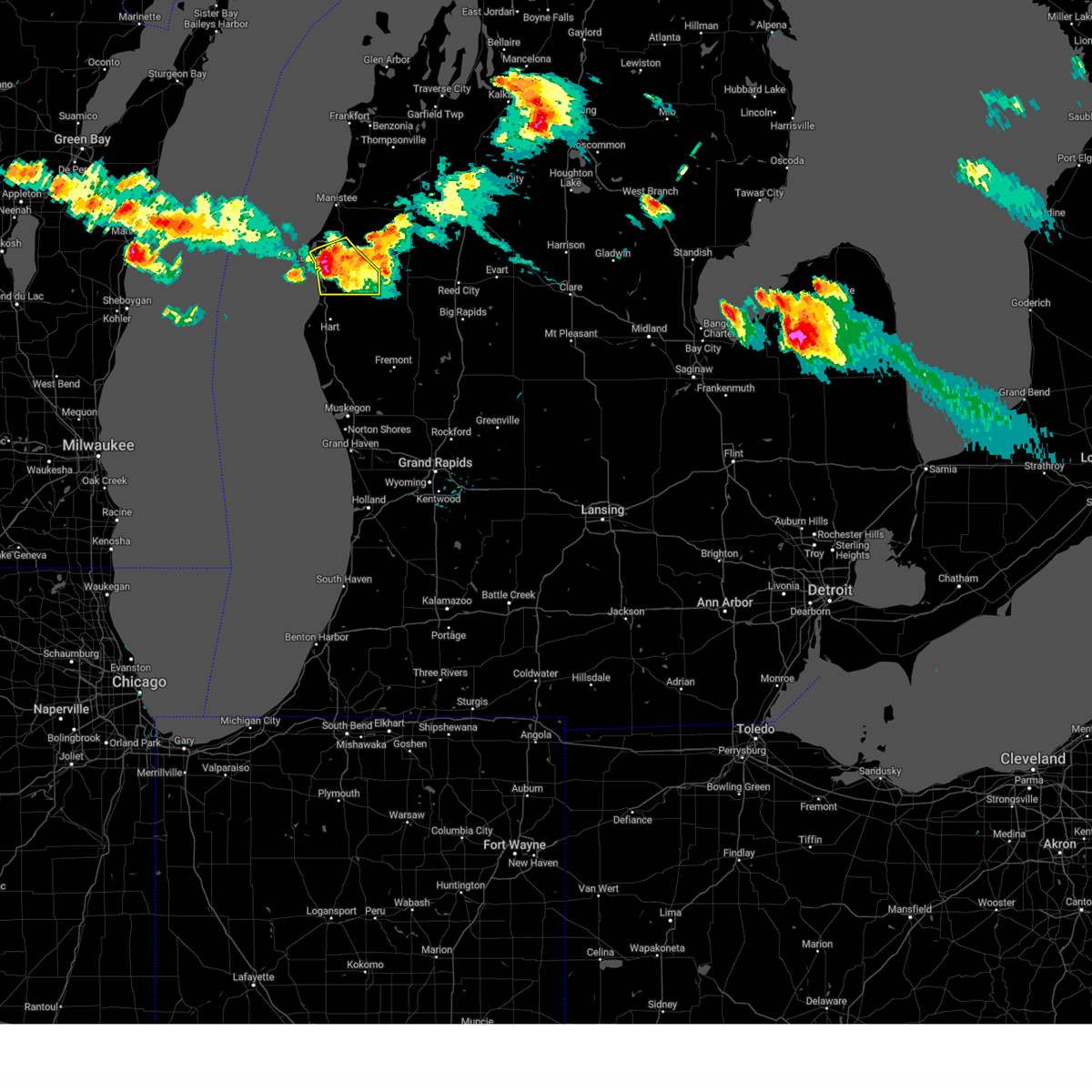
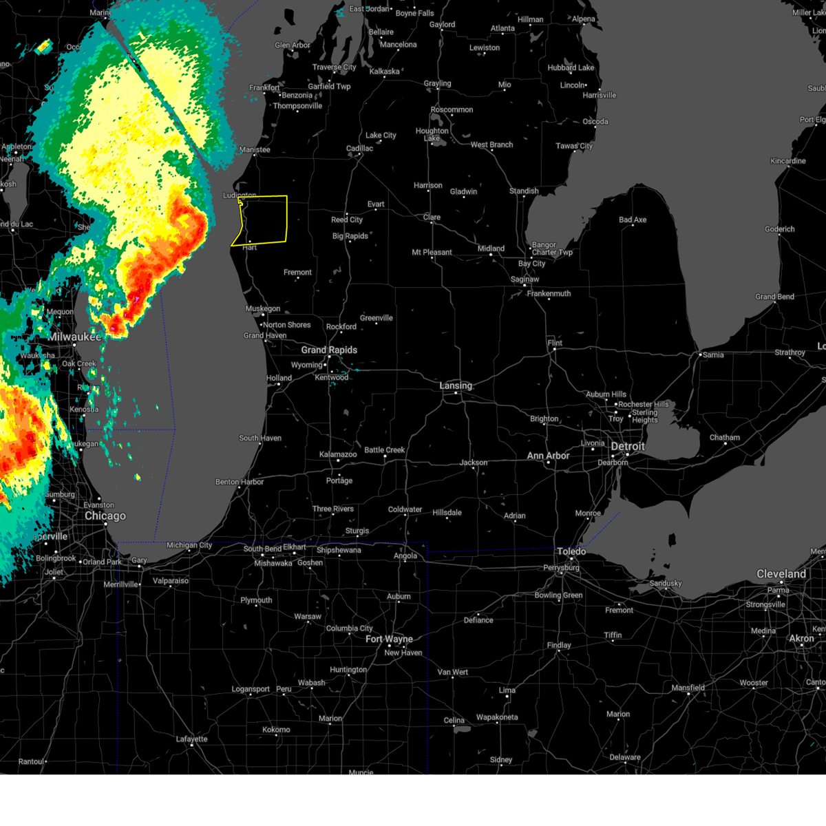
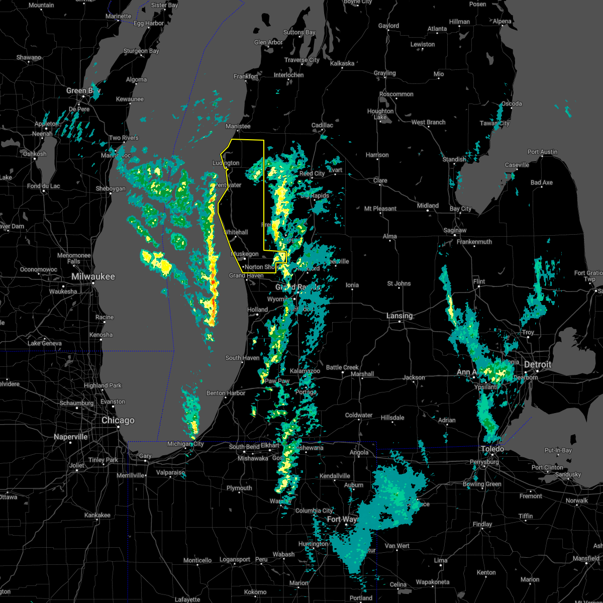
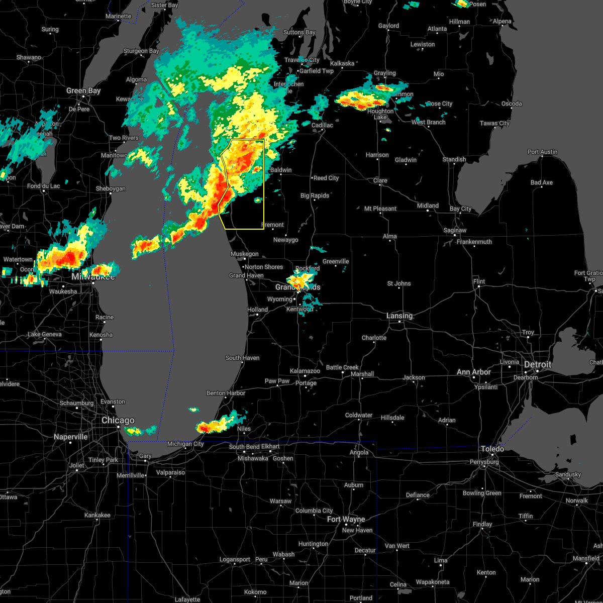
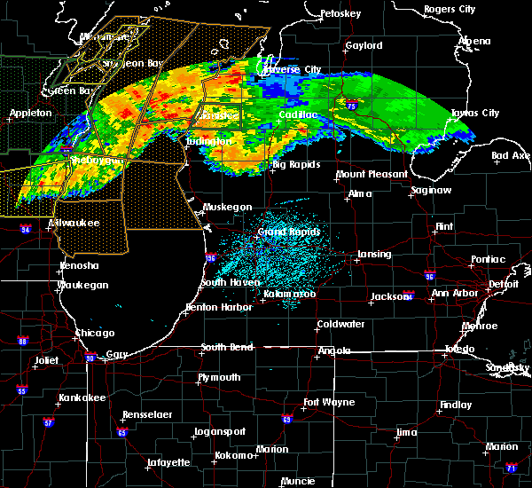
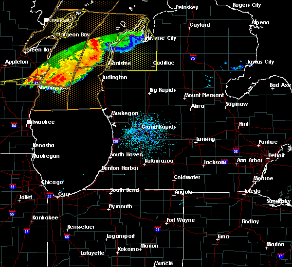
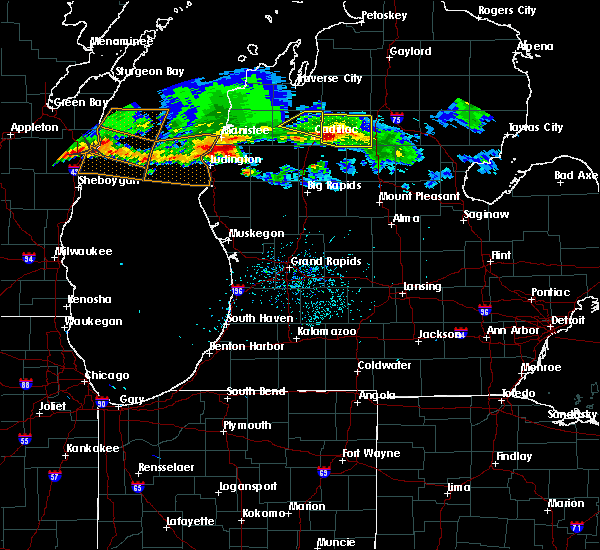
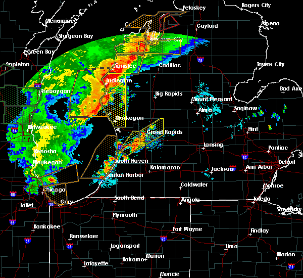
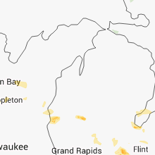
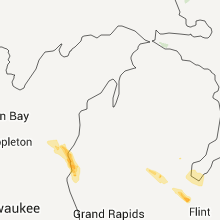
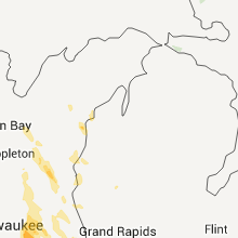
Hail Map for Ludington, MI
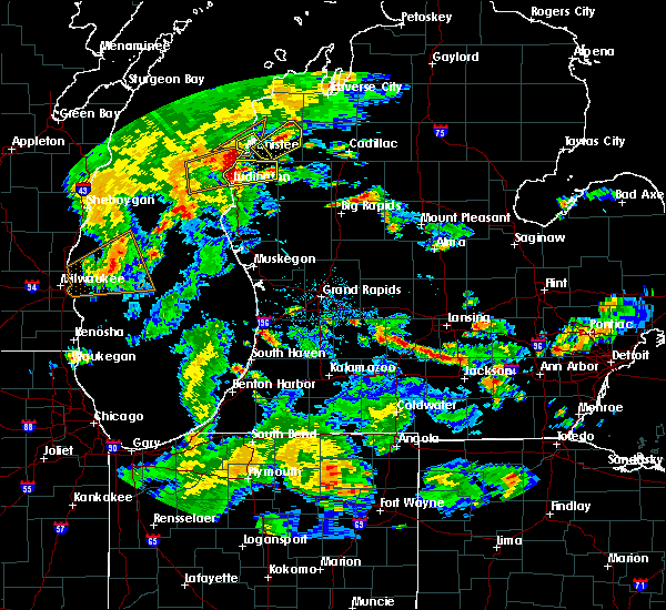
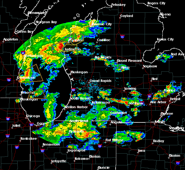
The Ludington, MI area has had 2 reports of on-the-ground hail by trained spotters, and has been under severe weather warnings 4 times during the past 12 months. Doppler radar has detected hail at or near Ludington, MI on 21 occasions, including 2 occasions during the past year.
| Name: | Ludington, MI |
| Where Located: | 69 miles SW of Traverse City, MI |
| Map: | Google Map for Ludington, MI |
| Population: | 8076 |
| Housing Units: | 4432 |
| More Info: | Search Google for Ludington, MI |
4
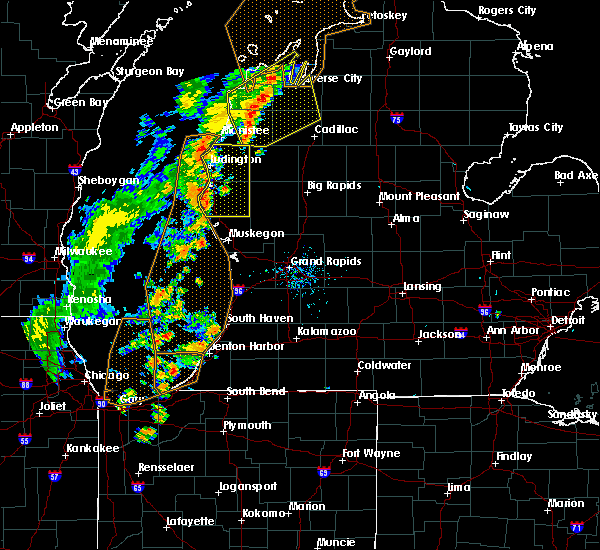
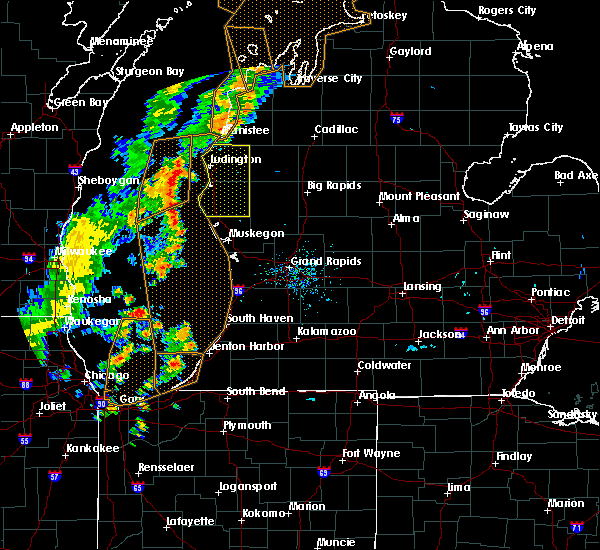
The Top Recent Hail Date for Ludington, MI is Thursday, August 3, 2023 (7th out of 21)

Hail and Wind Damage Spotted near Ludington, MI
| Date / Time | Report Details |
|---|---|
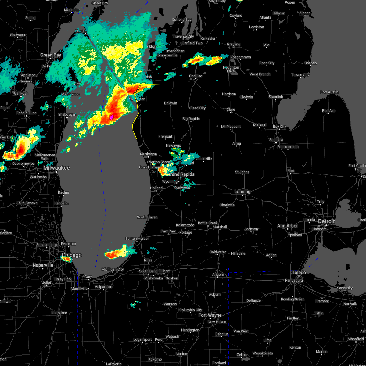
| 8/3/2023 6:54 PM EDT |
 The severe thunderstorm warning for southern mason county will expire at 700 pm edt, the storm which prompted the warning has weakened below severe limits, and no longer poses an immediate threat to life or property. therefore, the warning will be allowed to expire. however, gusty winds to 40 mph and lightning are still possible with this thunderstorm. The severe thunderstorm warning for southern mason county will expire at 700 pm edt, the storm which prompted the warning has weakened below severe limits, and no longer poses an immediate threat to life or property. therefore, the warning will be allowed to expire. however, gusty winds to 40 mph and lightning are still possible with this thunderstorm.
|
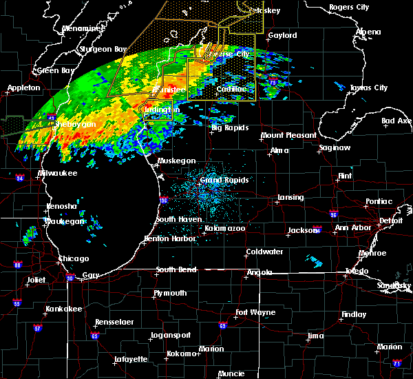
| 8/3/2023 6:30 PM EDT |
 At 630 pm edt, a severe thunderstorm was located near scottville, or 7 miles southeast of ludington, moving southeast at 30 mph (radar indicated). Hazards include 60 mph wind gusts and quarter size hail. Hail damage to vehicles is expected. expect wind damage to roofs, siding, and trees. locations impacted include, ludington, scottville, hamlin lake, ludington sp, custer, walhalla, mason county airport, hail threat, radar indicated max hail size, 1. 00 in wind threat, radar indicated max wind gust, 60 mph. At 630 pm edt, a severe thunderstorm was located near scottville, or 7 miles southeast of ludington, moving southeast at 30 mph (radar indicated). Hazards include 60 mph wind gusts and quarter size hail. Hail damage to vehicles is expected. expect wind damage to roofs, siding, and trees. locations impacted include, ludington, scottville, hamlin lake, ludington sp, custer, walhalla, mason county airport, hail threat, radar indicated max hail size, 1. 00 in wind threat, radar indicated max wind gust, 60 mph.
|
| 8/3/2023 6:08 PM EDT |
 At 607 pm edt, a severe thunderstorm was located over hamlin lake, or 6 miles north of ludington, moving southeast at 35 mph (radar indicated). Hazards include 60 mph wind gusts and quarter size hail. Hail damage to vehicles is expected. Expect wind damage to roofs, siding, and trees. At 607 pm edt, a severe thunderstorm was located over hamlin lake, or 6 miles north of ludington, moving southeast at 35 mph (radar indicated). Hazards include 60 mph wind gusts and quarter size hail. Hail damage to vehicles is expected. Expect wind damage to roofs, siding, and trees.
|
| 7/26/2023 9:56 AM EDT |
 At 955 am edt, severe thunderstorms were located along a line extending from 12 miles southwest of ludington sp to 10 miles west of mears sp to 20 miles west of silver lake sp, moving northeast at 45 mph (radar indicated). Hazards include 60 mph wind gusts. Expect damage to roofs, siding, and trees. severe thunderstorms will be near, ludington around 1010 am edt. Other locations in the path of these severe thunderstorms include scottville, silver lake sp, mears, hart and pentwater. At 955 am edt, severe thunderstorms were located along a line extending from 12 miles southwest of ludington sp to 10 miles west of mears sp to 20 miles west of silver lake sp, moving northeast at 45 mph (radar indicated). Hazards include 60 mph wind gusts. Expect damage to roofs, siding, and trees. severe thunderstorms will be near, ludington around 1010 am edt. Other locations in the path of these severe thunderstorms include scottville, silver lake sp, mears, hart and pentwater.
|
| 11/5/2022 3:13 PM EDT |
 At 313 pm edt, severe thunderstorms were located along a line extending from near hamlin lake to 13 miles west of roosevelt park, moving northeast at 45 mph (radar indicated). Hazards include 60 mph wind gusts. Expect damage to roofs, siding, and trees. locations impacted include, muskegon, ludington, hart, shelby, muskegon heights, roosevelt park, north muskegon, whitehall, montague, lakewood club, ravenna, scottville, fruitport, hesperia, pentwater, fountain, free soil, hamlin lake, mears sp, ludington sp, hail threat, radar indicated max hail size, <. 75 in wind threat, radar indicated max wind gust, 60 mph. At 313 pm edt, severe thunderstorms were located along a line extending from near hamlin lake to 13 miles west of roosevelt park, moving northeast at 45 mph (radar indicated). Hazards include 60 mph wind gusts. Expect damage to roofs, siding, and trees. locations impacted include, muskegon, ludington, hart, shelby, muskegon heights, roosevelt park, north muskegon, whitehall, montague, lakewood club, ravenna, scottville, fruitport, hesperia, pentwater, fountain, free soil, hamlin lake, mears sp, ludington sp, hail threat, radar indicated max hail size, <. 75 in wind threat, radar indicated max wind gust, 60 mph.
|
| 11/5/2022 2:39 PM EDT |
 At 238 pm edt, severe thunderstorms were located along a line extending from 15 miles northwest of silver lake sp to 30 miles west of grand haven, moving northeast at 65 mph (radar indicated). Hazards include 60 mph wind gusts. expect damage to roofs, siding, and trees At 238 pm edt, severe thunderstorms were located along a line extending from 15 miles northwest of silver lake sp to 30 miles west of grand haven, moving northeast at 65 mph (radar indicated). Hazards include 60 mph wind gusts. expect damage to roofs, siding, and trees
|
| 7/11/2022 9:13 PM EDT |
 The severe thunderstorm warning for mason and oceana counties will expire at 915 pm edt, the storms which prompted the warning have weakened below severe limits, and have exited the warned area. therefore, the warning will be allowed to expire. however, small hail and gusty winds to 50 mph are still possible with these thunderstorms. The severe thunderstorm warning for mason and oceana counties will expire at 915 pm edt, the storms which prompted the warning have weakened below severe limits, and have exited the warned area. therefore, the warning will be allowed to expire. however, small hail and gusty winds to 50 mph are still possible with these thunderstorms.
|
| 7/11/2022 8:45 PM EDT |
 At 845 pm edt, severe thunderstorms were located along a line extending from 5 miles east of fountain to near hart to 14 miles southwest of silver lake sp, moving east at 50 mph (radar indicated). Hazards include 60 mph wind gusts and penny size hail. Expect damage to roofs, siding, and trees. locations impacted include, ludington, hart, ludington sp, shelby, scottville, hesperia, pentwater, fountain, free soil, hamlin lake, mears sp, silver lake sp, weare, elbridge, colfax, new era, rothbury, custer, walkerville, walhalla, hail threat, radar indicated max hail size, 0. 75 in wind threat, radar indicated max wind gust, 60 mph. At 845 pm edt, severe thunderstorms were located along a line extending from 5 miles east of fountain to near hart to 14 miles southwest of silver lake sp, moving east at 50 mph (radar indicated). Hazards include 60 mph wind gusts and penny size hail. Expect damage to roofs, siding, and trees. locations impacted include, ludington, hart, ludington sp, shelby, scottville, hesperia, pentwater, fountain, free soil, hamlin lake, mears sp, silver lake sp, weare, elbridge, colfax, new era, rothbury, custer, walkerville, walhalla, hail threat, radar indicated max hail size, 0. 75 in wind threat, radar indicated max wind gust, 60 mph.
|
| 7/11/2022 8:20 PM EDT |
 At 820 pm edt, a severe thunderstorm was located 12 miles northwest of silver lake sp, or 17 miles southwest of ludington, moving east at 45 mph (radar indicated). Hazards include 60 mph wind gusts and quarter size hail. Hail damage to vehicles is expected. expect wind damage to roofs, siding, and trees. this severe thunderstorm will be near, silver lake sp around 835 pm edt. pentwater, mears sp and mears around 840 pm edt. other locations in the path of this severe thunderstorm include hart. hail threat, radar indicated max hail size, 1. 00 in wind threat, radar indicated max wind gust, 60 mph. At 820 pm edt, a severe thunderstorm was located 12 miles northwest of silver lake sp, or 17 miles southwest of ludington, moving east at 45 mph (radar indicated). Hazards include 60 mph wind gusts and quarter size hail. Hail damage to vehicles is expected. expect wind damage to roofs, siding, and trees. this severe thunderstorm will be near, silver lake sp around 835 pm edt. pentwater, mears sp and mears around 840 pm edt. other locations in the path of this severe thunderstorm include hart. hail threat, radar indicated max hail size, 1. 00 in wind threat, radar indicated max wind gust, 60 mph.
|
| 9/7/2021 12:58 PM EDT | Quarter sized hail reported 0.3 miles SW of Ludington, MI, photo of quarter-sized hail in ludington... duration of 5 mins...via social media. time estimated from radar. |
| 9/7/2021 12:58 PM EDT | Half Dollar sized hail reported 0.3 miles SW of Ludington, MI, time estimated from radar. |
| 9/7/2021 12:56 PM EDT |
 At 1254 pm edt, severe thunderstorms were located along a line extending from 5 miles southwest of ludington sp to near ludington to 6 miles northwest of silver lake sp, moving east at 50 mph. another line of severe storms are also near freesoil (radar indicated). Hazards include 60 mph wind gusts and quarter size hail. Hail damage to vehicles is expected. expect wind damage to roofs, siding, and trees. Locations impacted include, ludington, ludington sp, scottville, fountain, free soil, hamlin lake, custer, walhalla,. At 1254 pm edt, severe thunderstorms were located along a line extending from 5 miles southwest of ludington sp to near ludington to 6 miles northwest of silver lake sp, moving east at 50 mph. another line of severe storms are also near freesoil (radar indicated). Hazards include 60 mph wind gusts and quarter size hail. Hail damage to vehicles is expected. expect wind damage to roofs, siding, and trees. Locations impacted include, ludington, ludington sp, scottville, fountain, free soil, hamlin lake, custer, walhalla,.
|
| 9/7/2021 12:25 PM EDT |
 At 1225 pm edt, a severe thunderstorm was located 7 miles west of ludington sp, moving east at 55 mph (radar indicated). Hazards include 60 mph wind gusts and quarter size hail. Hail damage to vehicles is expected. Expect wind damage to roofs, siding, and trees. At 1225 pm edt, a severe thunderstorm was located 7 miles west of ludington sp, moving east at 55 mph (radar indicated). Hazards include 60 mph wind gusts and quarter size hail. Hail damage to vehicles is expected. Expect wind damage to roofs, siding, and trees.
|
| 8/10/2021 10:13 PM EDT |
 At 1013 pm edt, severe thunderstorms were located along a line extending from near free soil to near hartford, moving east at 60 mph (radar indicated). Hazards include 60 mph wind gusts. Expect damage to roofs, siding, and trees. locations impacted include, muskegon, holland, grand haven, ludington, allegan, south haven, paw paw, hart, ludington sp, walker, shelby, muskegon heights, hudsonville, zeeland, coopersville, wayland, otsego, roosevelt park, plainwell, north muskegon, hail threat, radar indicated max hail size, <. 75 in wind threat, radar indicated max wind gust, 60 mph. At 1013 pm edt, severe thunderstorms were located along a line extending from near free soil to near hartford, moving east at 60 mph (radar indicated). Hazards include 60 mph wind gusts. Expect damage to roofs, siding, and trees. locations impacted include, muskegon, holland, grand haven, ludington, allegan, south haven, paw paw, hart, ludington sp, walker, shelby, muskegon heights, hudsonville, zeeland, coopersville, wayland, otsego, roosevelt park, plainwell, north muskegon, hail threat, radar indicated max hail size, <. 75 in wind threat, radar indicated max wind gust, 60 mph.
|
| 8/10/2021 9:40 PM EDT |
 At 939 pm edt, severe thunderstorms were located along a line extending from 20 miles west of ludington state park to 15 miles northwest of st. joseph, moving east at 50 mph (radar indicated). Hazards include 60 mph wind gusts. expect damage to roofs, siding, and trees At 939 pm edt, severe thunderstorms were located along a line extending from 20 miles west of ludington state park to 15 miles northwest of st. joseph, moving east at 50 mph (radar indicated). Hazards include 60 mph wind gusts. expect damage to roofs, siding, and trees
|
| 6/18/2021 5:10 AM EDT | Mesonet station 45024 5 w ludingto in lmz868 county MI, 5.3 miles E of Ludington, MI |
| 11/10/2020 7:31 PM EST |
 At 730 pm est, severe thunderstorms were located along a line extending from 6 miles south of manistee, to near hart, to 28 miles west of grand haven, moving northeast at 65 mph (radar indicated). Hazards include 60 mph wind gusts. Expect damage to roofs, siding, and trees. Locations impacted include, muskegon, ludington, hart, ludington sp, shelby, muskegon heights, roosevelt park, north muskegon, whitehall, montague, lakewood club, ravenna, scottville, fruitport, hesperia, pentwater, fountain, free soil, hamlin lake, mears sp,. At 730 pm est, severe thunderstorms were located along a line extending from 6 miles south of manistee, to near hart, to 28 miles west of grand haven, moving northeast at 65 mph (radar indicated). Hazards include 60 mph wind gusts. Expect damage to roofs, siding, and trees. Locations impacted include, muskegon, ludington, hart, ludington sp, shelby, muskegon heights, roosevelt park, north muskegon, whitehall, montague, lakewood club, ravenna, scottville, fruitport, hesperia, pentwater, fountain, free soil, hamlin lake, mears sp,.
|
| 11/10/2020 6:52 PM EST |
 At 651 pm est, severe thunderstorms were located along a line extending from 20 miles west of silver lake sp to 40 miles west of muskegon, moving northeast at 70 mph (radar indicated). Hazards include 60 mph wind gusts. expect damage to roofs, siding, and trees At 651 pm est, severe thunderstorms were located along a line extending from 20 miles west of silver lake sp to 40 miles west of muskegon, moving northeast at 70 mph (radar indicated). Hazards include 60 mph wind gusts. expect damage to roofs, siding, and trees
|
| 8/27/2020 11:28 AM EDT |
 At 1128 am edt, a severe thunderstorm was located 8 miles west of baldwin, moving east at 50 mph (radar indicated). Hazards include 60 mph wind gusts. Expect damage to roofs, siding, and trees. Locations impacted include, ludington, ludington sp, scottville, fountain, hamlin lake, custer, walhalla,. At 1128 am edt, a severe thunderstorm was located 8 miles west of baldwin, moving east at 50 mph (radar indicated). Hazards include 60 mph wind gusts. Expect damage to roofs, siding, and trees. Locations impacted include, ludington, ludington sp, scottville, fountain, hamlin lake, custer, walhalla,.
|
| 8/27/2020 11:10 AM EDT |
 At 1110 am edt, a severe thunderstorm was located near scottville, or 8 miles northeast of ludington, moving southeast at 45 mph (radar indicated). Hazards include 60 mph wind gusts and quarter size hail. Hail damage to vehicles is expected. expect wind damage to roofs, siding, and trees. Locations impacted include, ludington, ludington sp, scottville, fountain, free soil, hamlin lake, custer, walhalla,. At 1110 am edt, a severe thunderstorm was located near scottville, or 8 miles northeast of ludington, moving southeast at 45 mph (radar indicated). Hazards include 60 mph wind gusts and quarter size hail. Hail damage to vehicles is expected. expect wind damage to roofs, siding, and trees. Locations impacted include, ludington, ludington sp, scottville, fountain, free soil, hamlin lake, custer, walhalla,.
|
| 8/27/2020 10:41 AM EDT |
 At 1040 am edt, a severe thunderstorm was located 10 miles northwest of ludington state park, moving east at 50 mph. this thunderstorm may produce hail from quarter to ping pong ball size as well as 60 mph wind gusts (radar indicated). Hazards include 60 mph wind gusts and quarter size hail. Hail damage to vehicles is expected. Expect wind damage to roofs, siding, and trees. At 1040 am edt, a severe thunderstorm was located 10 miles northwest of ludington state park, moving east at 50 mph. this thunderstorm may produce hail from quarter to ping pong ball size as well as 60 mph wind gusts (radar indicated). Hazards include 60 mph wind gusts and quarter size hail. Hail damage to vehicles is expected. Expect wind damage to roofs, siding, and trees.
|
| 8/26/2020 4:20 AM EDT | Mesonet station 45024 5 w ludingto in lmz868 county MI, 5.3 miles E of Ludington, MI |
| 8/26/2020 4:09 AM EDT |
 At 408 am edt, a severe thunderstorm was located 7 miles southwest of ludington state park, moving southeast at 25 mph (radar indicated). Hazards include 60 mph wind gusts and quarter size hail. Hail damage to vehicles is expected. Expect wind damage to roofs, siding, and trees. At 408 am edt, a severe thunderstorm was located 7 miles southwest of ludington state park, moving southeast at 25 mph (radar indicated). Hazards include 60 mph wind gusts and quarter size hail. Hail damage to vehicles is expected. Expect wind damage to roofs, siding, and trees.
|
| 7/19/2020 7:07 AM EDT |
 At 707 am edt, a severe thunderstorm was located near hamlin lake, or near ludington sp, moving east at 55 mph (radar indicated). Hazards include 60 mph wind gusts. expect damage to roofs, siding, and trees At 707 am edt, a severe thunderstorm was located near hamlin lake, or near ludington sp, moving east at 55 mph (radar indicated). Hazards include 60 mph wind gusts. expect damage to roofs, siding, and trees
|
| 6/3/2020 12:27 AM EDT |
 The severe thunderstorm warning for mason, muskegon and oceana counties will expire at 1230 am edt, the storms which prompted the warning have moved out of the area. therefore, the warning will be allowed to expire. however gusty winds are still possible through 100 am. a severe thunderstorm watch remains in effect until 400 am edt for southwestern and west central michigan. The severe thunderstorm warning for mason, muskegon and oceana counties will expire at 1230 am edt, the storms which prompted the warning have moved out of the area. therefore, the warning will be allowed to expire. however gusty winds are still possible through 100 am. a severe thunderstorm watch remains in effect until 400 am edt for southwestern and west central michigan.
|
| 6/2/2020 11:51 PM EDT |
 At 1150 pm edt, severe thunderstorms were located along a line extending from near fountain to near ferrysburg, moving east at 45 mph (radar indicated). Hazards include 60 mph wind gusts and quarter size hail. Hail damage to vehicles is expected. expect wind damage to roofs, siding, and trees. Locations impacted include, muskegon, ludington, hart, ludington sp, shelby, muskegon heights, roosevelt park, north muskegon, whitehall, montague, lakewood club, ravenna, scottville, fruitport, hesperia, fountain, free soil, mears sp, silver lake sp, freesoil,. At 1150 pm edt, severe thunderstorms were located along a line extending from near fountain to near ferrysburg, moving east at 45 mph (radar indicated). Hazards include 60 mph wind gusts and quarter size hail. Hail damage to vehicles is expected. expect wind damage to roofs, siding, and trees. Locations impacted include, muskegon, ludington, hart, ludington sp, shelby, muskegon heights, roosevelt park, north muskegon, whitehall, montague, lakewood club, ravenna, scottville, fruitport, hesperia, fountain, free soil, mears sp, silver lake sp, freesoil,.
|
| 6/2/2020 11:07 PM EDT |
 At 1105 pm edt, severe thunderstorms were located along a line extending from 25 miles west of ludington to 40 miles west of muskegon, moving east at 45 mph (radar indicated). Hazards include 60 mph wind gusts. expect damage to roofs, siding, and trees At 1105 pm edt, severe thunderstorms were located along a line extending from 25 miles west of ludington to 40 miles west of muskegon, moving east at 45 mph (radar indicated). Hazards include 60 mph wind gusts. expect damage to roofs, siding, and trees
|
| 7/20/2019 1:45 PM EDT |
 At 143 pm edt, a severe thunderstorm was located 14 miles west of ludington sp, moving east at 65 mph. this storm has a history of producing wind damage in wisconsin. lakeshore flooding may develop with these strong winds and high wave action with the storm. be aware of coastal erosion over the next hour (radar indicated). Hazards include 60 mph wind gusts and penny size hail. expect damage to roofs, siding, and trees At 143 pm edt, a severe thunderstorm was located 14 miles west of ludington sp, moving east at 65 mph. this storm has a history of producing wind damage in wisconsin. lakeshore flooding may develop with these strong winds and high wave action with the storm. be aware of coastal erosion over the next hour (radar indicated). Hazards include 60 mph wind gusts and penny size hail. expect damage to roofs, siding, and trees
|
| 7/20/2019 12:39 AM EDT |
 The severe thunderstorm warning for mason county will expire at 1245 am edt, the storms which prompted the warning have moved out of the area. therefore, the warning will be allowed to expire. to report severe weather, contact your nearest law enforcement agency. they will relay your report to the national weather service grand rapids. The severe thunderstorm warning for mason county will expire at 1245 am edt, the storms which prompted the warning have moved out of the area. therefore, the warning will be allowed to expire. to report severe weather, contact your nearest law enforcement agency. they will relay your report to the national weather service grand rapids.
|
| 7/20/2019 12:20 AM EDT | Measured by hand held anemometer. report via twitte in mason county MI, 0.3 miles SW of Ludington, MI |
| 7/20/2019 12:14 AM EDT |
 At 1213 am edt, severe thunderstorms were located along a line extending from near free soil to 7 miles northwest of mears sp, moving southeast at 55 mph (radar indicated). Hazards include 60 mph wind gusts. Expect damage to roofs, siding, and trees. Locations impacted include, ludington, ludington sp, scottville, fountain, free soil, freesoil, custer, walhalla,. At 1213 am edt, severe thunderstorms were located along a line extending from near free soil to 7 miles northwest of mears sp, moving southeast at 55 mph (radar indicated). Hazards include 60 mph wind gusts. Expect damage to roofs, siding, and trees. Locations impacted include, ludington, ludington sp, scottville, fountain, free soil, freesoil, custer, walhalla,.
|
| 7/19/2019 11:49 PM EDT |
 At 1147 pm edt, severe thunderstorms were located along a line extending from 9 miles west of orchard beach state park to 19 miles west of ludington sp, moving southeast at 55 mph (radar indicated). Hazards include 60 mph wind gusts and penny size hail. expect damage to roofs, siding, and trees At 1147 pm edt, severe thunderstorms were located along a line extending from 9 miles west of orchard beach state park to 19 miles west of ludington sp, moving southeast at 55 mph (radar indicated). Hazards include 60 mph wind gusts and penny size hail. expect damage to roofs, siding, and trees
|
| 6/1/2019 11:00 AM EDT | Between 11 and 11:30 am june 1st... strong winds went through mason county downing large tree branches and uprooting several trees. the most concentrated damage was rep in mason county MI, 0.9 miles ESE of Ludington, MI |
| 5/31/2019 9:29 PM EDT |
 At 929 pm edt, a severe thunderstorm was located near free soil, or 9 miles southeast of manistee, moving east at 40 mph (radar indicated). Hazards include 60 mph wind gusts and quarter size hail. Hail damage to vehicles is expected. Expect wind damage to roofs, siding, and trees. At 929 pm edt, a severe thunderstorm was located near free soil, or 9 miles southeast of manistee, moving east at 40 mph (radar indicated). Hazards include 60 mph wind gusts and quarter size hail. Hail damage to vehicles is expected. Expect wind damage to roofs, siding, and trees.
|
| 8/28/2018 7:06 PM EDT |
 At 706 pm edt, severe thunderstorms were located along a line extending from free soil, to near silver lake state park, to 22 miles west of montague, moving east at 55 mph (radar indicated). Hazards include 60 mph wind gusts. Expect damage to roofs, siding, and trees. Locations impacted include, muskegon, ludington, hart, ludington sp, shelby, muskegon heights, roosevelt park, north muskegon, whitehall, montague, lakewood club, scottville, fruitport, fountain, free soil, mears sp, silver lake sp, freesoil, norton shores, dalton,. At 706 pm edt, severe thunderstorms were located along a line extending from free soil, to near silver lake state park, to 22 miles west of montague, moving east at 55 mph (radar indicated). Hazards include 60 mph wind gusts. Expect damage to roofs, siding, and trees. Locations impacted include, muskegon, ludington, hart, ludington sp, shelby, muskegon heights, roosevelt park, north muskegon, whitehall, montague, lakewood club, scottville, fruitport, fountain, free soil, mears sp, silver lake sp, freesoil, norton shores, dalton,.
|
| 8/28/2018 6:42 PM EDT |
 At 641 pm edt, severe thunderstorms were located along a line extending from 22 miles west of ludington sp to 20 miles northwest of silver lake sp to 30 miles west of shelby to 30 miles east of port washington, moving east at 60 mph (radar indicated). Hazards include 60 mph wind gusts. expect damage to roofs, siding, and trees At 641 pm edt, severe thunderstorms were located along a line extending from 22 miles west of ludington sp to 20 miles northwest of silver lake sp to 30 miles west of shelby to 30 miles east of port washington, moving east at 60 mph (radar indicated). Hazards include 60 mph wind gusts. expect damage to roofs, siding, and trees
|
| 8/28/2018 1:42 AM EDT |
 At 141 am edt, severe thunderstorms were located along a line extending from 6 miles west of wellston to near ludington, moving southeast at 30 mph (radar indicated). Hazards include 60 mph wind gusts. Expect damage to roofs, siding, and trees. Locations impacted include, ludington, ludington sp, scottville, fountain, free soil, freesoil, custer, walhalla,. At 141 am edt, severe thunderstorms were located along a line extending from 6 miles west of wellston to near ludington, moving southeast at 30 mph (radar indicated). Hazards include 60 mph wind gusts. Expect damage to roofs, siding, and trees. Locations impacted include, ludington, ludington sp, scottville, fountain, free soil, freesoil, custer, walhalla,.
|
| 8/28/2018 12:54 AM EDT |
 At 1252 am edt, severe thunderstorms were located along a line extending from 14 miles west of orchard beach state park to 18 miles west of ludington sp, moving east at 45 mph (radar indicated). Hazards include 60 mph wind gusts. expect damage to roofs, siding, and trees At 1252 am edt, severe thunderstorms were located along a line extending from 14 miles west of orchard beach state park to 18 miles west of ludington sp, moving east at 45 mph (radar indicated). Hazards include 60 mph wind gusts. expect damage to roofs, siding, and trees
|
| 7/1/2018 7:15 PM EDT | County dispatch reported trees and power lines down in multiple locations in mason county. time estimate in mason county MI, 0.3 miles SW of Ludington, MI |
| 7/1/2018 7:14 PM EDT |
 At 645 pm edt, severe thunderstorms were located along a line extending from 12 miles west of ludington to 18 miles west of montague, moving northeast at 45 mph (radar indicated). Hazards include 60 mph wind gusts. expect damage to roofs, siding, and trees At 645 pm edt, severe thunderstorms were located along a line extending from 12 miles west of ludington to 18 miles west of montague, moving northeast at 45 mph (radar indicated). Hazards include 60 mph wind gusts. expect damage to roofs, siding, and trees
|
| 7/1/2018 6:49 PM EDT |
 At 645 pm edt, severe thunderstorms were located along a line extending from 12 miles west of ludington to 18 miles west of montague, moving northeast at 45 mph (radar indicated). Hazards include 60 mph wind gusts. expect damage to roofs, siding, and trees At 645 pm edt, severe thunderstorms were located along a line extending from 12 miles west of ludington to 18 miles west of montague, moving northeast at 45 mph (radar indicated). Hazards include 60 mph wind gusts. expect damage to roofs, siding, and trees
|
| 8/3/2017 5:58 PM EDT |
 The severe thunderstorm warning for northern mason county will expire at 600 pm edt, the storm which prompted the warning has weakened below severe limits, and no longer poses an immediate threat to life or property. therefore the warning will be allowed to expire. however gusty winds are still possible with this thunderstorm. The severe thunderstorm warning for northern mason county will expire at 600 pm edt, the storm which prompted the warning has weakened below severe limits, and no longer poses an immediate threat to life or property. therefore the warning will be allowed to expire. however gusty winds are still possible with this thunderstorm.
|
| 8/3/2017 5:30 PM EDT |
 At 529 pm edt, a severe thunderstorm was located 6 miles east of ludington state park, moving east at 20 mph (radar indicated). Hazards include 60 mph wind gusts and penny size hail. Expect damage to roofs, siding, and trees. Locations impacted include, ludington, ludington sp, fountain, free soil, freesoil,. At 529 pm edt, a severe thunderstorm was located 6 miles east of ludington state park, moving east at 20 mph (radar indicated). Hazards include 60 mph wind gusts and penny size hail. Expect damage to roofs, siding, and trees. Locations impacted include, ludington, ludington sp, fountain, free soil, freesoil,.
|
| 8/3/2017 5:15 PM EDT |
 At 515 pm edt, a severe thunderstorm was located over ludington sp, moving east at 20 mph (radar indicated). Hazards include 60 mph wind gusts and penny size hail. expect damage to roofs, siding, and trees At 515 pm edt, a severe thunderstorm was located over ludington sp, moving east at 20 mph (radar indicated). Hazards include 60 mph wind gusts and penny size hail. expect damage to roofs, siding, and trees
|
| 6/14/2017 7:29 PM EDT |
 At 729 pm edt, a severe thunderstorm was located near scottville, or 10 miles east of ludington, moving north at 40 mph (radar indicated). Hazards include 60 mph wind gusts and quarter size hail. Hail damage to vehicles is expected. Expect wind damage to roofs, siding, and trees. At 729 pm edt, a severe thunderstorm was located near scottville, or 10 miles east of ludington, moving north at 40 mph (radar indicated). Hazards include 60 mph wind gusts and quarter size hail. Hail damage to vehicles is expected. Expect wind damage to roofs, siding, and trees.
|
| 7/24/2016 11:19 AM EDT |
 At 1118 am edt, severe thunderstorms were located along a line extending from just off shore of ludington state park to 12 miles west of silver lake state park, moving east at 40 mph (radar indicated). Hazards include 60 mph wind gusts. Expect damage to roofs. Siding and trees. At 1118 am edt, severe thunderstorms were located along a line extending from just off shore of ludington state park to 12 miles west of silver lake state park, moving east at 40 mph (radar indicated). Hazards include 60 mph wind gusts. Expect damage to roofs. Siding and trees.
|
| 10/15/2015 6:30 PM EDT | Some trees and wires down in the county in mason county MI, 0.3 miles SW of Ludington, MI |
| 8/2/2015 6:01 PM EDT |
 At 600 pm edt, severe thunderstorms were located along a line extending from 23 miles northwest of ludington to near pierport, moving east at 35 mph (radar indicated). Hazards include 60 mph wind gusts and quarter size hail. Hail damage to vehicles is expected. Expect wind damage to roofs, siding and trees. At 600 pm edt, severe thunderstorms were located along a line extending from 23 miles northwest of ludington to near pierport, moving east at 35 mph (radar indicated). Hazards include 60 mph wind gusts and quarter size hail. Hail damage to vehicles is expected. Expect wind damage to roofs, siding and trees.
|
| 7/18/2015 8:31 AM EDT |
 At 831 am edt, severe thunderstorms were located along a line extending from 20 miles west of manistee to 19 miles west of pentwater to 32 miles west of montague, moving east at 45 mph (radar indicated). Hazards include 60 mph wind gusts. Expect damage to roofs. Siding and trees. At 831 am edt, severe thunderstorms were located along a line extending from 20 miles west of manistee to 19 miles west of pentwater to 32 miles west of montague, moving east at 45 mph (radar indicated). Hazards include 60 mph wind gusts. Expect damage to roofs. Siding and trees.
|
| 6/30/2014 8:48 PM EDT | 911 call center said that they are receiving reports of trees down along lakeshore drive. time estimated by rada in mason county MI, 6 miles N of Ludington, MI |
| 6/17/2014 4:30 AM EDT | Storm damage reported in mason county MI, 7.9 miles SSE of Ludington, MI |
| 8/7/2013 3:40 AM EDT | Storm damage reported in mason county MI, 7.9 miles SSE of Ludington, MI |
| 8/7/2013 3:10 AM EDT | Storm damage reported in mason county MI, 7.9 miles SSE of Ludington, MI |
| 9/17/2012 5:20 PM EDT | A softwood tree... 40 feet tall with a 1 foot diameter... reported down by the public relayed through the pres in mason county MI, 6.2 miles NNW of Ludington, MI |
| 9/17/2012 5:12 PM EDT | One tree came down at lakeshore dr near the ludington pumped storage plant. another tree came down in riverton townshi in mason county MI, 4.6 miles N of Ludington, MI |
| 8/2/2012 5:40 AM EDT | Measured at big sable point lighthous in lmz849 county MI, 8.1 miles SSE of Ludington, MI |
| 8/2/2012 5:40 AM EDT | The ludington daily news is reporting numerous trees are down in ludington state park...causing damage to camper trailers...vehicles...and possibly a park building as w in mason county MI, 5.8 miles SSE of Ludington, MI |
| 7/25/2012 10:10 PM EDT | Measured by viewer. many trees down and wire in mason county MI, 0.4 miles ESE of Ludington, MI |
| 1/1/0001 12:00 AM | 18 inch diameter tree down on power lines just north of downtow in mason county MI, 0.4 miles ESE of Ludington, MI |
| 1/1/0001 12:00 AM | Mason county dispatch reports a tree down at north harrison street and east fitch street in ludington. time estimated by rada in mason county MI, 0.4 miles ESE of Ludington, MI |
Hail Maps for Ludington, MI


Connect with Interactive Hail Maps