

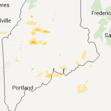
Hail Map for Machias, ME
The Machias, ME area has had 1 report of on-the-ground hail by trained spotters, and has been under severe weather warnings 0 times during the past 12 months. Doppler radar has detected hail at or near Machias, ME on 1 occasion.
| Name: | Machias, ME |
| Where Located: | 64.6 miles E of Bangor, ME |
| Map: | Google Map for Machias, ME |
| Population: | 1274 |
| Housing Units: | 719 |
| More Info: | Search Google for Machias, ME |
0
The Top Recent Hail Date for Machias, ME is Monday, August 1, 2011 (1st out of 1)
Hail and Wind Damage Spotted near Machias, ME
| Date / Time | Report Details |
|---|---|
| 7/5/2023 4:50 PM EDT | A couple of trees down in marion township. time estimated via rada in washington county ME, 13.6 miles SSW of Machias, ME |
| 8/25/2020 4:47 PM EDT |
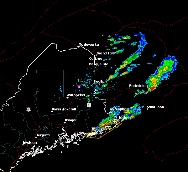
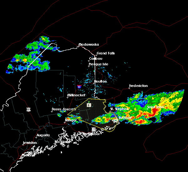
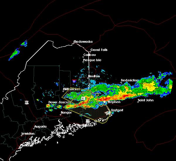
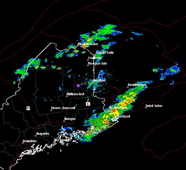
 At 444 pm edt, a severe thunderstorm was located near meddybemps, or 15 miles south of calais, moving east at 50 mph (radar indicated). Hazards include 70 mph wind gusts and quarter size hail. Minor hail damage to vehicles is possible. expect considerable tree damage. wind damage is also likely to mobile homes, roofs, and outbuildings. Locations impacted include, calais, machias, lubec, eastport, cherryfield, jonesport, steuben, harrington, perry, pembroke, princeton, jonesboro, columbia falls, cutler, columbia, meddybemps, grand lake stream, deblois, centerville and millbridge. At 444 pm edt, a severe thunderstorm was located near meddybemps, or 15 miles south of calais, moving east at 50 mph (radar indicated). Hazards include 70 mph wind gusts and quarter size hail. Minor hail damage to vehicles is possible. expect considerable tree damage. wind damage is also likely to mobile homes, roofs, and outbuildings. Locations impacted include, calais, machias, lubec, eastport, cherryfield, jonesport, steuben, harrington, perry, pembroke, princeton, jonesboro, columbia falls, cutler, columbia, meddybemps, grand lake stream, deblois, centerville and millbridge.
|
| 8/25/2020 4:14 PM EDT |
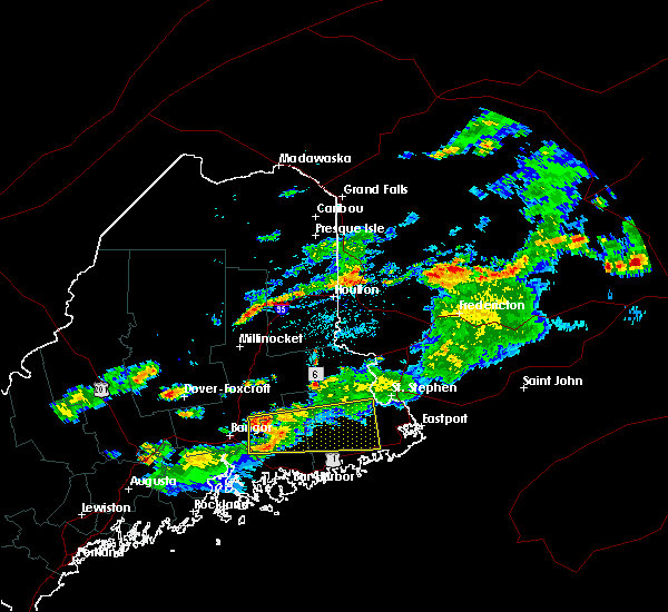
 At 412 pm edt, a severe thunderstorm was located 15 miles north of deblois, or 24 miles north of cherryfield, moving east at 50 mph (radar indicated). Hazards include 70 mph wind gusts and quarter size hail. Minor hail damage to vehicles is possible. expect considerable tree damage. Wind damage is also likely to mobile homes, roofs, and outbuildings. At 412 pm edt, a severe thunderstorm was located 15 miles north of deblois, or 24 miles north of cherryfield, moving east at 50 mph (radar indicated). Hazards include 70 mph wind gusts and quarter size hail. Minor hail damage to vehicles is possible. expect considerable tree damage. Wind damage is also likely to mobile homes, roofs, and outbuildings.
|
| 12/9/2019 10:45 PM EST | Report from mping: 1-inch tree limbs broken; shingles blown of in washington county ME, 0.8 miles NNE of Machias, ME |
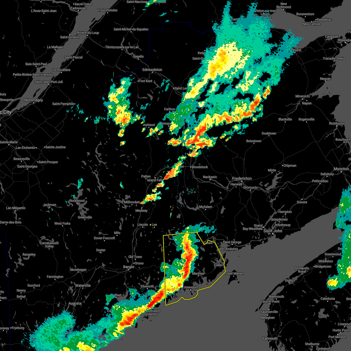
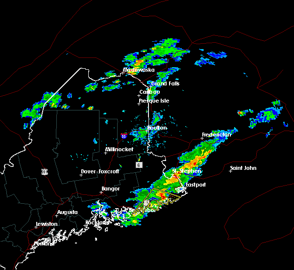
| 7/2/2019 2:10 PM EDT | Quarter sized hail reported 18.2 miles ENE of Machias, ME |
| 8/13/2017 3:27 PM EDT | Tree and lines down in whiting. time estimated from rada in washington county ME, 15.7 miles WSW of Machias, ME |
| 8/13/2017 3:23 PM EDT | Multiple trees down along us 1 southwest of whitin in washington county ME, 12.4 miles WSW of Machias, ME |
| 8/13/2017 3:20 PM EDT | Multiple power lines reported down in 1200 block of us 1 in whitin in washington county ME, 10.8 miles WSW of Machias, ME |
| 8/13/2017 3:15 PM EDT | Tree down on gardiner lake road. time estimated from rada in washington county ME, 7.4 miles WSW of Machias, ME |
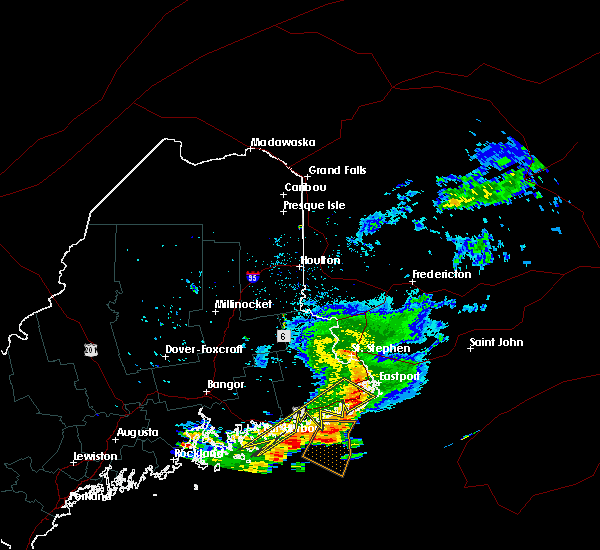
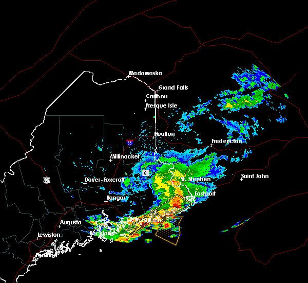
| 8/13/2017 3:04 PM EDT |
 At 304 pm edt, a severe thunderstorm was located over machias, moving east at 40 mph (radar indicated). Hazards include 60 mph wind gusts and quarter size hail. Minor hail damage to vehicles is possible. Expect wind damage to trees and power lines. At 304 pm edt, a severe thunderstorm was located over machias, moving east at 40 mph (radar indicated). Hazards include 60 mph wind gusts and quarter size hail. Minor hail damage to vehicles is possible. Expect wind damage to trees and power lines.
|
| 6/12/2017 7:41 PM EDT |
 The severe thunderstorm warning for washington, northeastern hancock and southeastern penobscot counties will expire at 745 pm edt, the severe thunderstorm which prompted the warning has weakened. therefore, the warning will be allowed to expire. The severe thunderstorm warning for washington, northeastern hancock and southeastern penobscot counties will expire at 745 pm edt, the severe thunderstorm which prompted the warning has weakened. therefore, the warning will be allowed to expire.
|
| 6/12/2017 7:15 PM EDT |
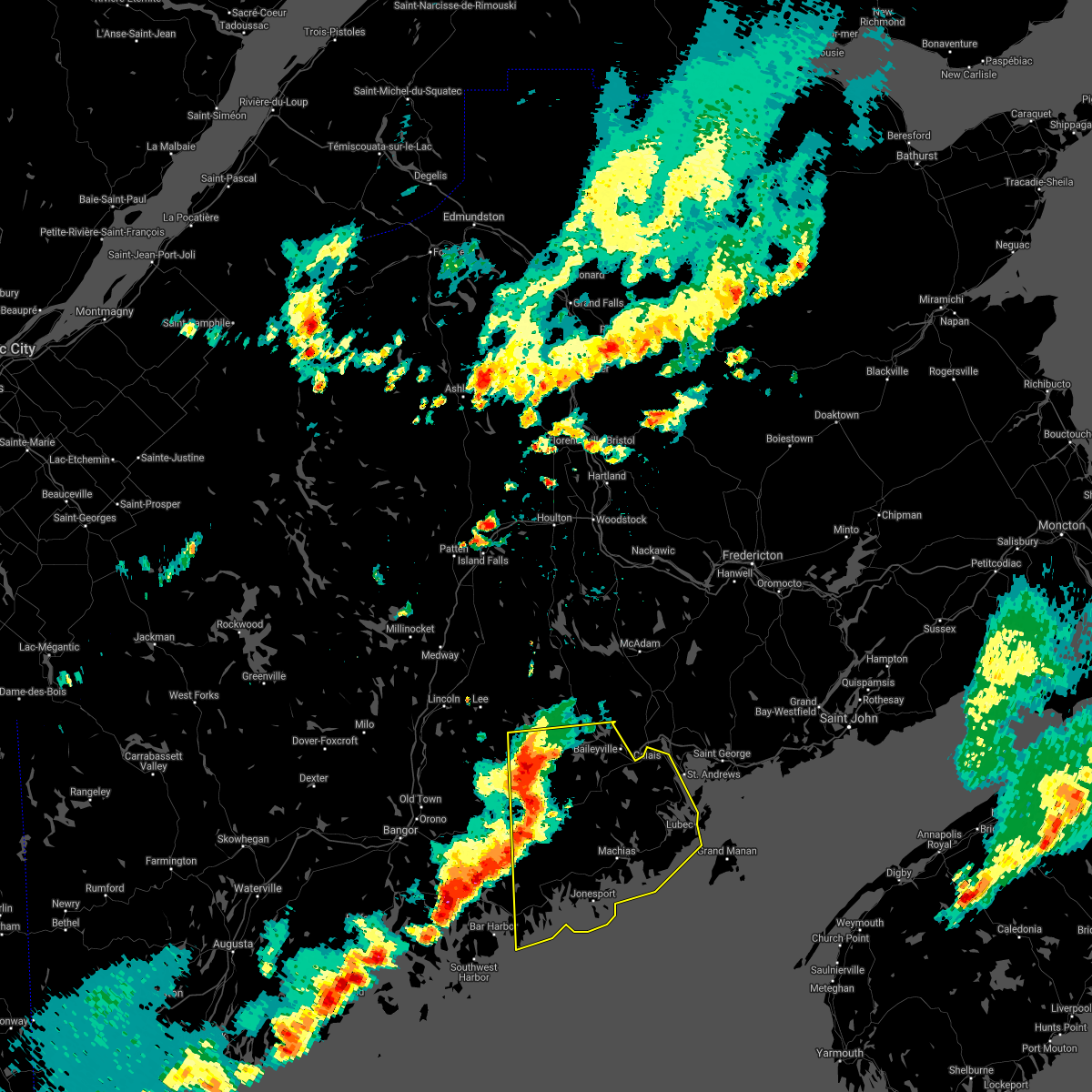
 At 714 pm edt, a severe thunderstorm was located near calais, moving east at 50 mph (radar indicated). Hazards include 60 mph wind gusts and quarter size hail. Minor hail damage to vehicles is possible. expect wind damage to trees and power lines. locations impacted include, calais, machias, lubec, eastport, danforth, vanceboro, perry, pembroke, princeton, jonesboro, columbia falls, cutler, columbia, springfield, topsfield, meddybemps, grand lake stream, lakeville, centerville and fowler township. this includes the following highways, us highway 1 between jonesboro and eaton. State highway 9 between wesley and calais. At 714 pm edt, a severe thunderstorm was located near calais, moving east at 50 mph (radar indicated). Hazards include 60 mph wind gusts and quarter size hail. Minor hail damage to vehicles is possible. expect wind damage to trees and power lines. locations impacted include, calais, machias, lubec, eastport, danforth, vanceboro, perry, pembroke, princeton, jonesboro, columbia falls, cutler, columbia, springfield, topsfield, meddybemps, grand lake stream, lakeville, centerville and fowler township. this includes the following highways, us highway 1 between jonesboro and eaton. State highway 9 between wesley and calais.
|
| 6/12/2017 6:38 PM EDT |
 At 638 pm edt, a severe thunderstorm was located 7 miles north of grand lake stream, or 25 miles west of calais, moving east at 50 mph (radar indicated). Hazards include 60 mph wind gusts and quarter size hail. Minor hail damage to vehicles is possible. Expect wind damage to trees and power lines. At 638 pm edt, a severe thunderstorm was located 7 miles north of grand lake stream, or 25 miles west of calais, moving east at 50 mph (radar indicated). Hazards include 60 mph wind gusts and quarter size hail. Minor hail damage to vehicles is possible. Expect wind damage to trees and power lines.
|
| 7/28/2016 5:34 PM EDT |
 At 534 pm edt, a severe thunderstorm was located 13 miles northeast of deblois, or 20 miles north of cherryfield, moving east at 30 mph (radar indicated). Hazards include 60 mph wind gusts. Expect damage to roofs. siding. and trees. Locations impacted include, machias, dedham, princeton, jonesboro, columbia falls, columbia, deblois, centerville, milford, baileyville, bradley, east machias, machiasport, clifton, otis, marshfield, mariaville, alexander, eastbrook and waltham. At 534 pm edt, a severe thunderstorm was located 13 miles northeast of deblois, or 20 miles north of cherryfield, moving east at 30 mph (radar indicated). Hazards include 60 mph wind gusts. Expect damage to roofs. siding. and trees. Locations impacted include, machias, dedham, princeton, jonesboro, columbia falls, columbia, deblois, centerville, milford, baileyville, bradley, east machias, machiasport, clifton, otis, marshfield, mariaville, alexander, eastbrook and waltham.
|
| 7/28/2016 5:12 PM EDT |
 At 511 pm edt, a severe thunderstorm was located 13 miles northwest of deblois, or 20 miles east of old town, moving east at 35 mph (radar indicated). Hazards include 60 mph wind gusts. Expect damage to roofs. siding. And trees. At 511 pm edt, a severe thunderstorm was located 13 miles northwest of deblois, or 20 miles east of old town, moving east at 35 mph (radar indicated). Hazards include 60 mph wind gusts. Expect damage to roofs. siding. And trees.
|
| 8/5/2015 6:41 PM EDT | The severe thunderstorm warning for southeastern hancock and southern washington counties will expire at 645 pm edt, the severe thunderstorm which prompted the warning has weakened. therefore the warning will be allowed to expire. |
| 8/5/2015 6:27 PM EDT |
 At 626 pm edt, a severe thunderstorm was located 11 miles east of jonesport, or 14 miles south of machias (radar indicated). Hazards include 60 mph wind gusts. Expect damage to roofs. siding and trees. Locations impacted include, machias, cherryfield, jonesport, steuben, harrington, jonesboro, columbia falls, cutler, columbia, millbridge, centerville, east machias, machiasport, marshfield, beals, whiting, roque bluffs, whitneyville, northfield and wesley. At 626 pm edt, a severe thunderstorm was located 11 miles east of jonesport, or 14 miles south of machias (radar indicated). Hazards include 60 mph wind gusts. Expect damage to roofs. siding and trees. Locations impacted include, machias, cherryfield, jonesport, steuben, harrington, jonesboro, columbia falls, cutler, columbia, millbridge, centerville, east machias, machiasport, marshfield, beals, whiting, roque bluffs, whitneyville, northfield and wesley.
|
| 8/5/2015 6:13 PM EDT |
 At 612 pm edt, a severe thunderstorm was located near jonesboro, or 9 miles southeest of machias, moving southeast at 30 mph (radar indicated). Hazards include 60 mph wind gusts. Expect damage to roofs. Siding and trees. At 612 pm edt, a severe thunderstorm was located near jonesboro, or 9 miles southeest of machias, moving southeast at 30 mph (radar indicated). Hazards include 60 mph wind gusts. Expect damage to roofs. Siding and trees.
|
| 7/28/2015 7:00 AM EDT |
 At 700 am edt, a severe thunderstorm was located over jonesport, or 15 miles east of cherryfield, and is nearly stationary (radar indicated). Hazards include 60 mph wind gusts and quarter size hail. Hail damage to vehicles is expected. expect wind damage to roofs, siding and trees. Locations impacted include, machias, lubec, cherryfield, jonesport, steuben, harrington, jonesboro, columbia falls, cutler, columbia, millbridge, centerville, gouldsboro, east machias, machiasport, marshfield, winter harbor, beals, whiting and dennysville. At 700 am edt, a severe thunderstorm was located over jonesport, or 15 miles east of cherryfield, and is nearly stationary (radar indicated). Hazards include 60 mph wind gusts and quarter size hail. Hail damage to vehicles is expected. expect wind damage to roofs, siding and trees. Locations impacted include, machias, lubec, cherryfield, jonesport, steuben, harrington, jonesboro, columbia falls, cutler, columbia, millbridge, centerville, gouldsboro, east machias, machiasport, marshfield, winter harbor, beals, whiting and dennysville.
|
| 7/28/2015 6:46 AM EDT |
 At 646 am edt, a severe thunderstorm was located near harrington, or 7 miles southeast of cherryfield, moving east at 25 mph (radar indicated). Hazards include 60 mph wind gusts and quarter size hail. Hail damage to vehicles is expected. Expect wind damage to roofs, siding and trees. At 646 am edt, a severe thunderstorm was located near harrington, or 7 miles southeast of cherryfield, moving east at 25 mph (radar indicated). Hazards include 60 mph wind gusts and quarter size hail. Hail damage to vehicles is expected. Expect wind damage to roofs, siding and trees.
|
Hail Maps for Machias, ME
Connect with Interactive Hail Maps