

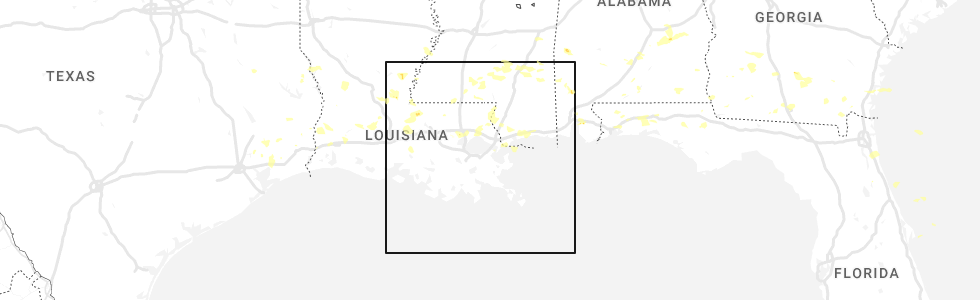
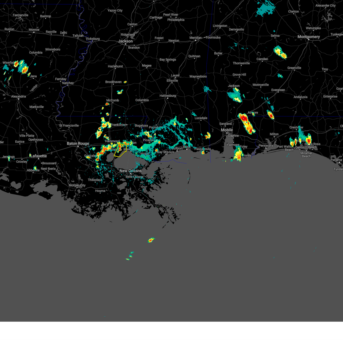
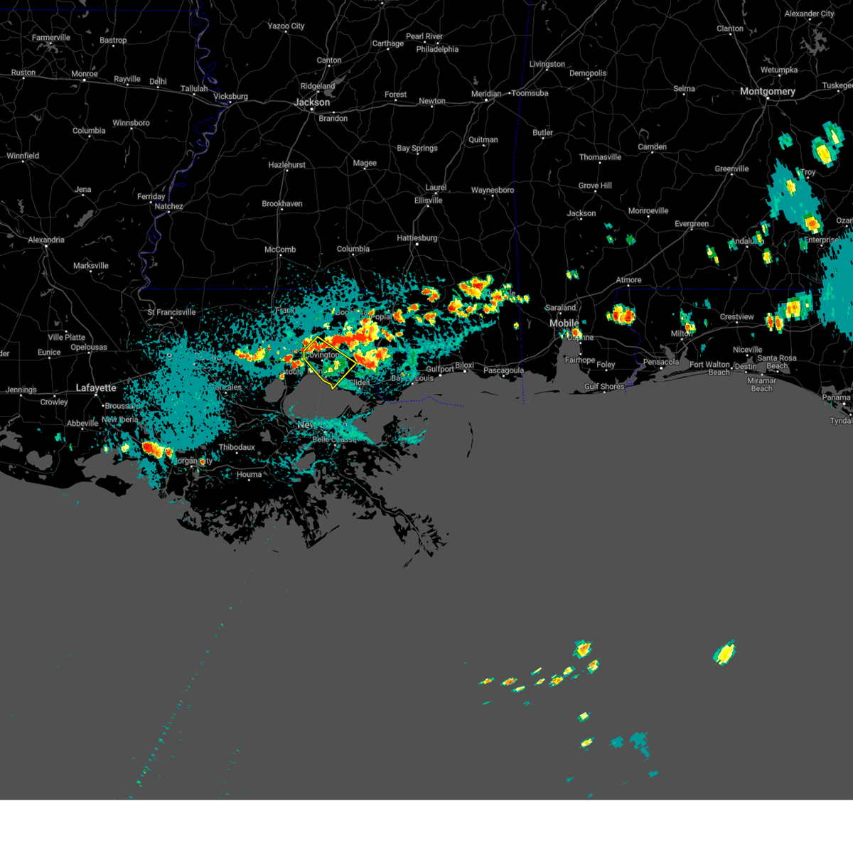
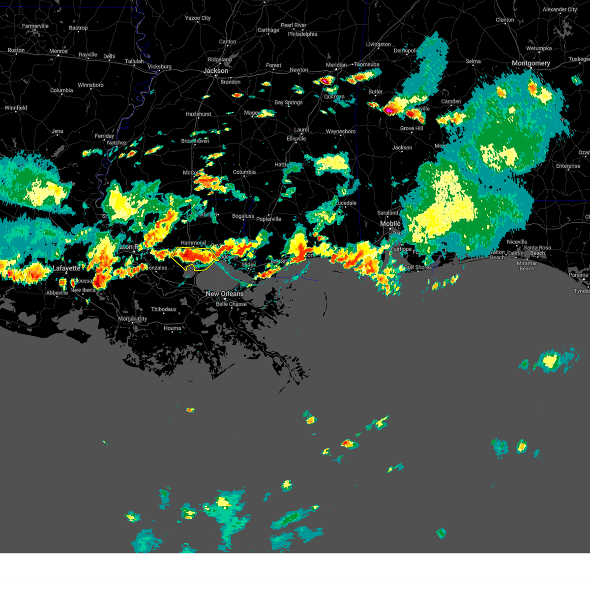
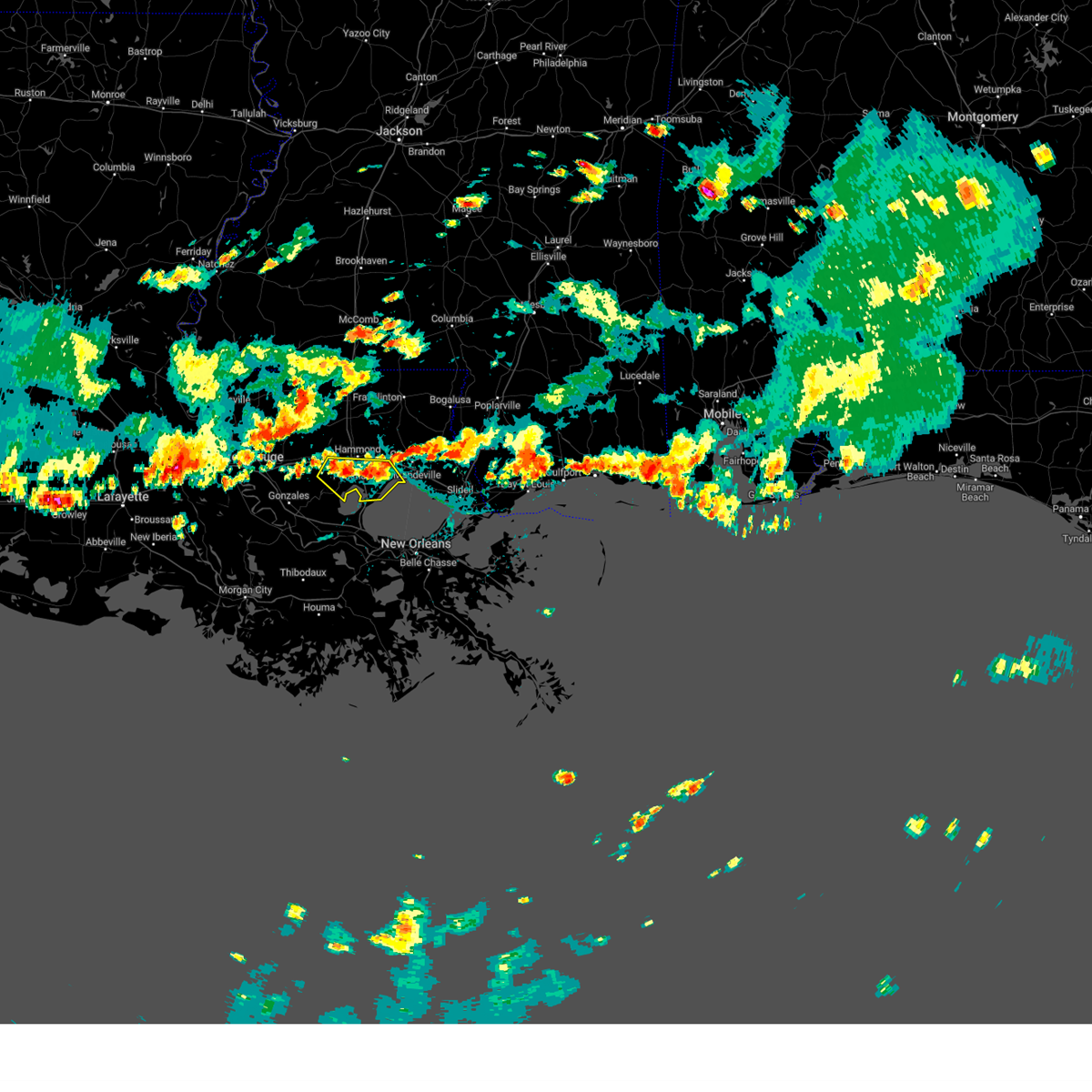
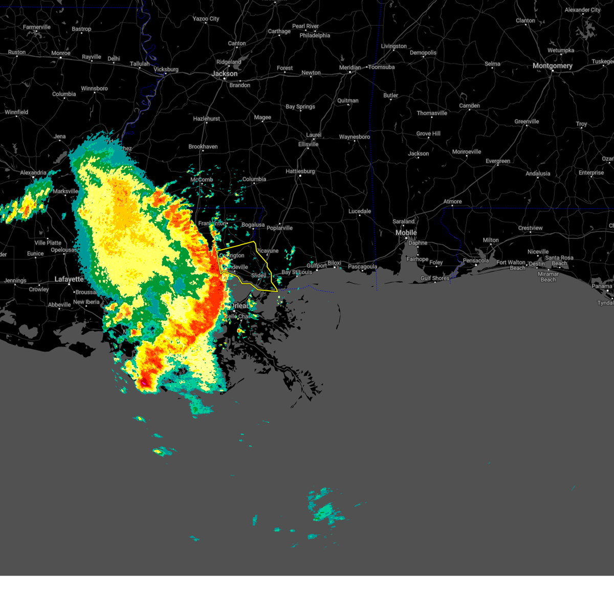
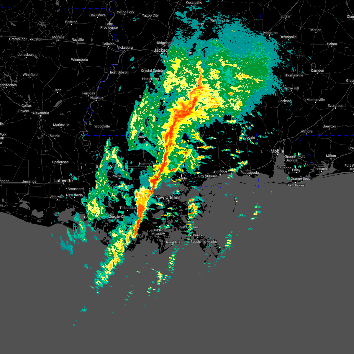
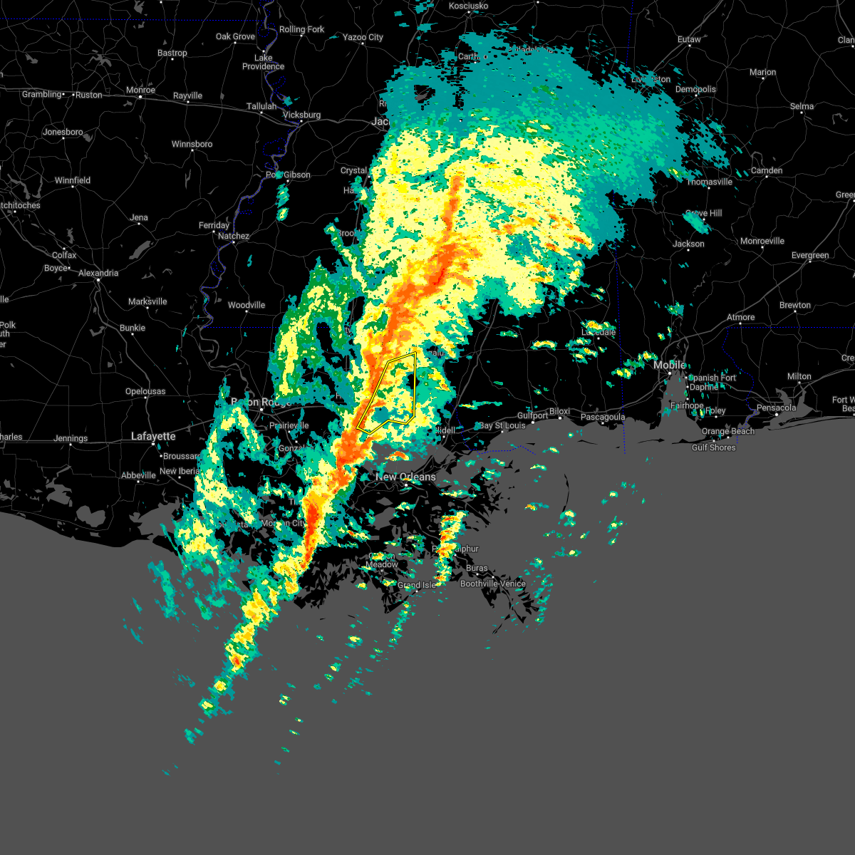
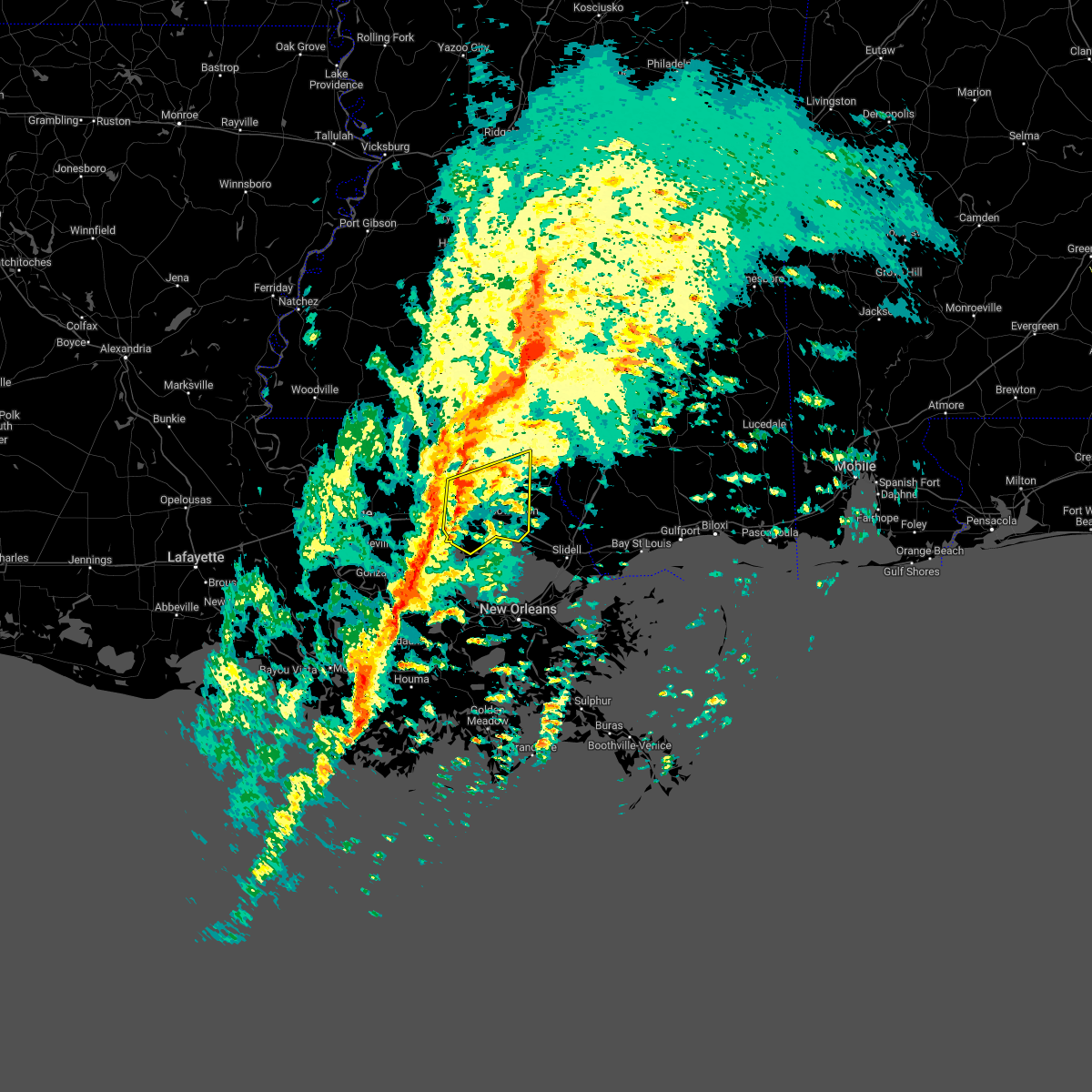
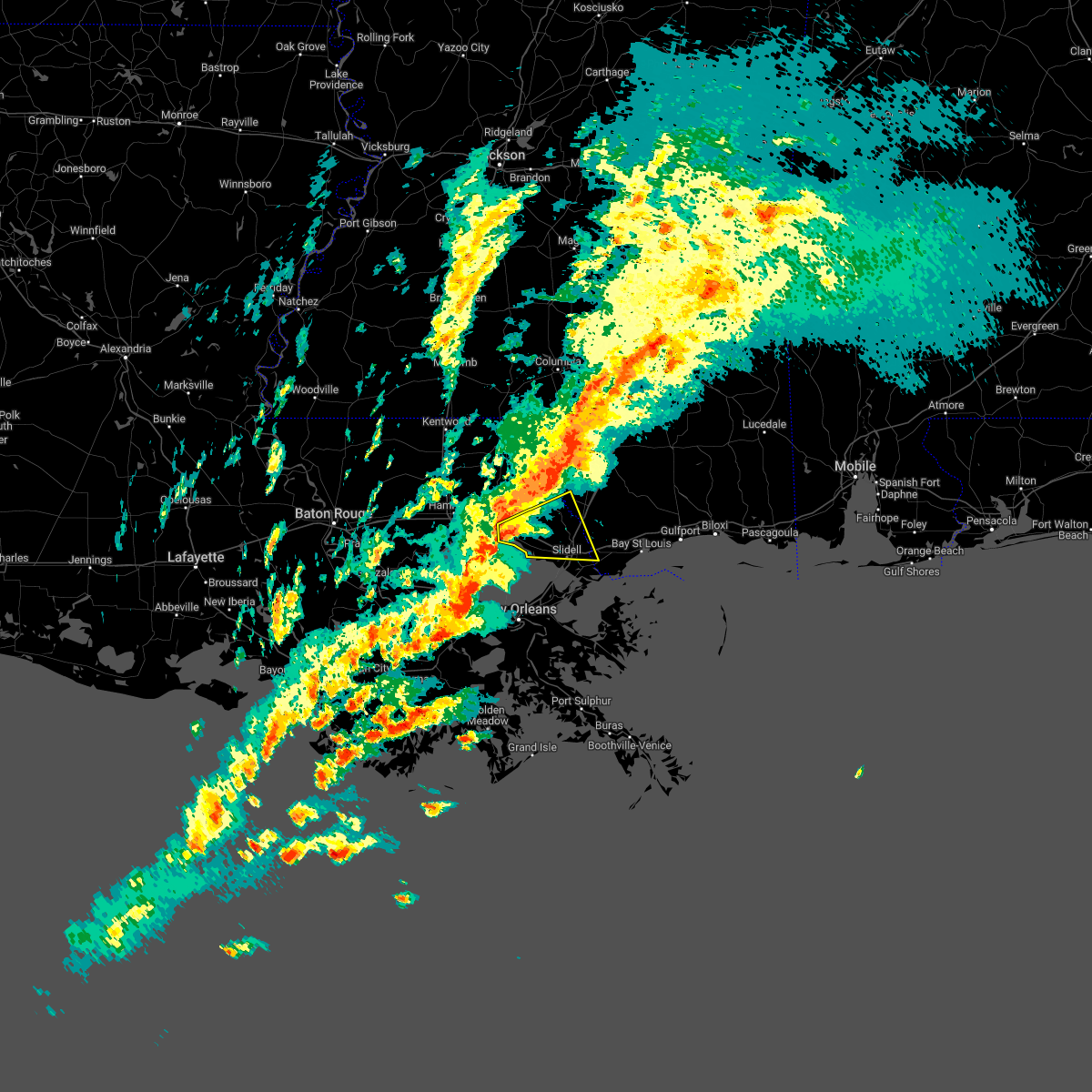
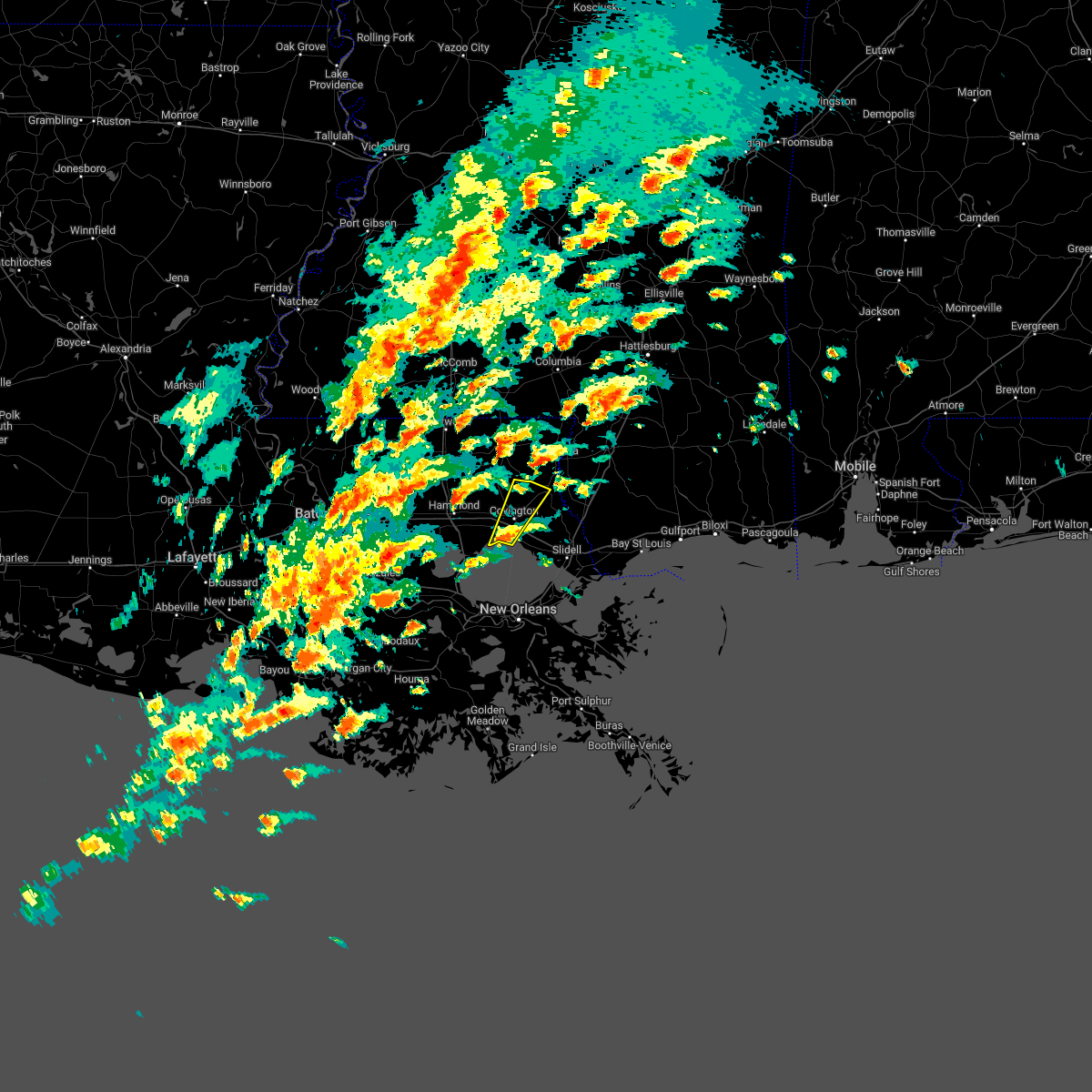
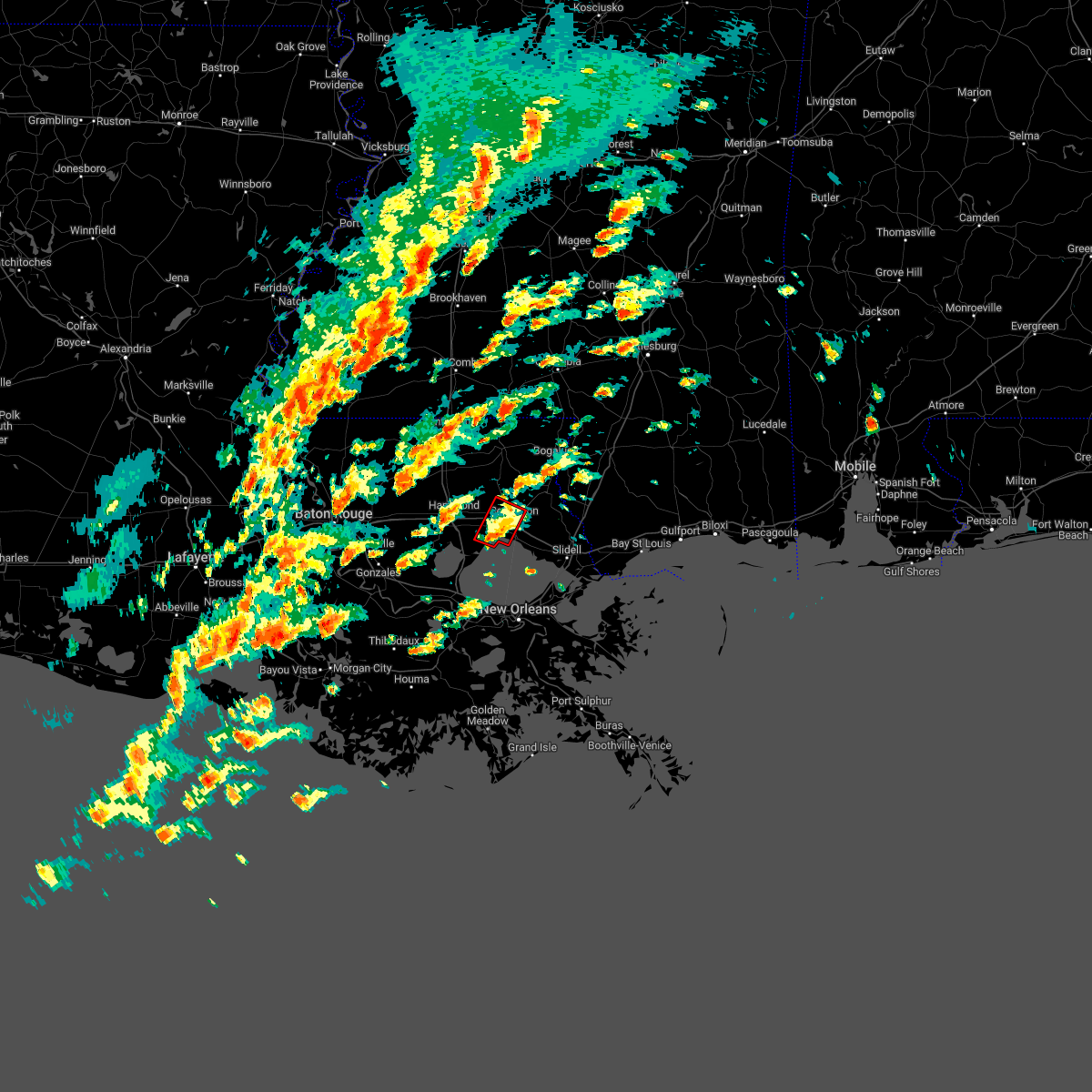
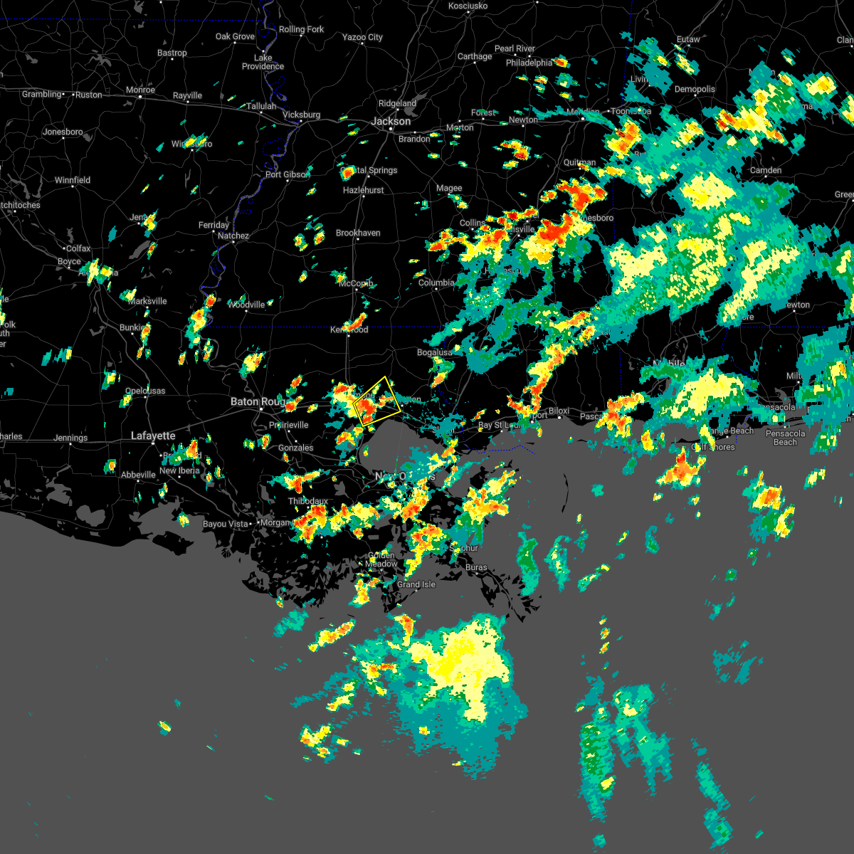
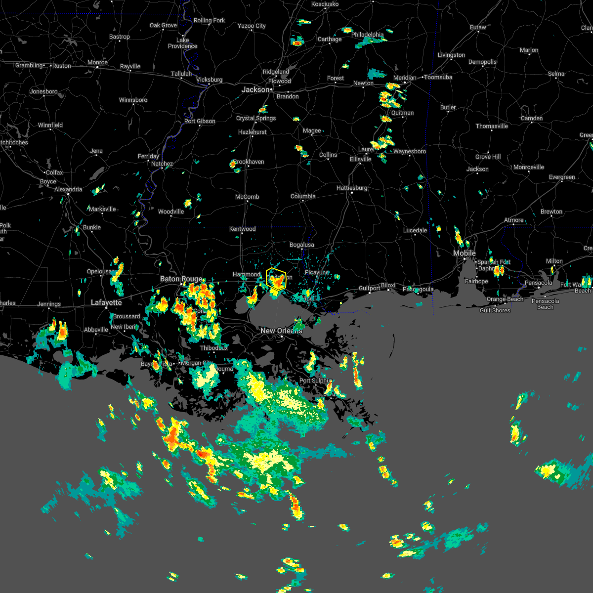
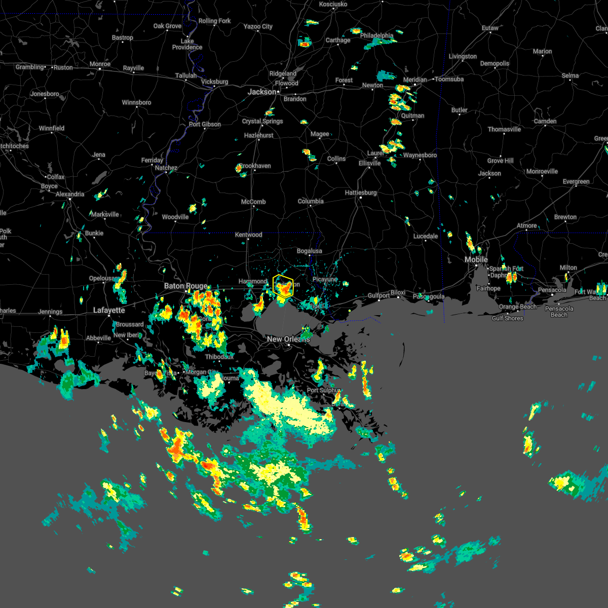
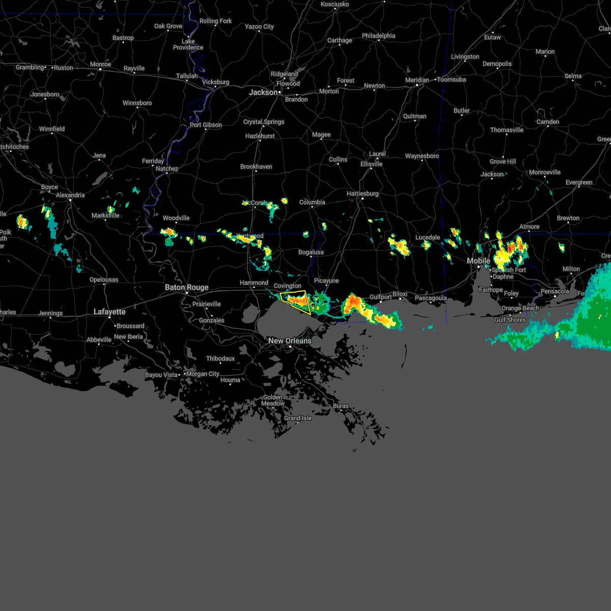
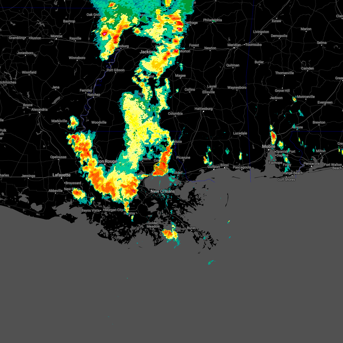
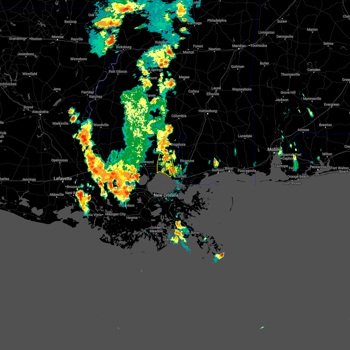
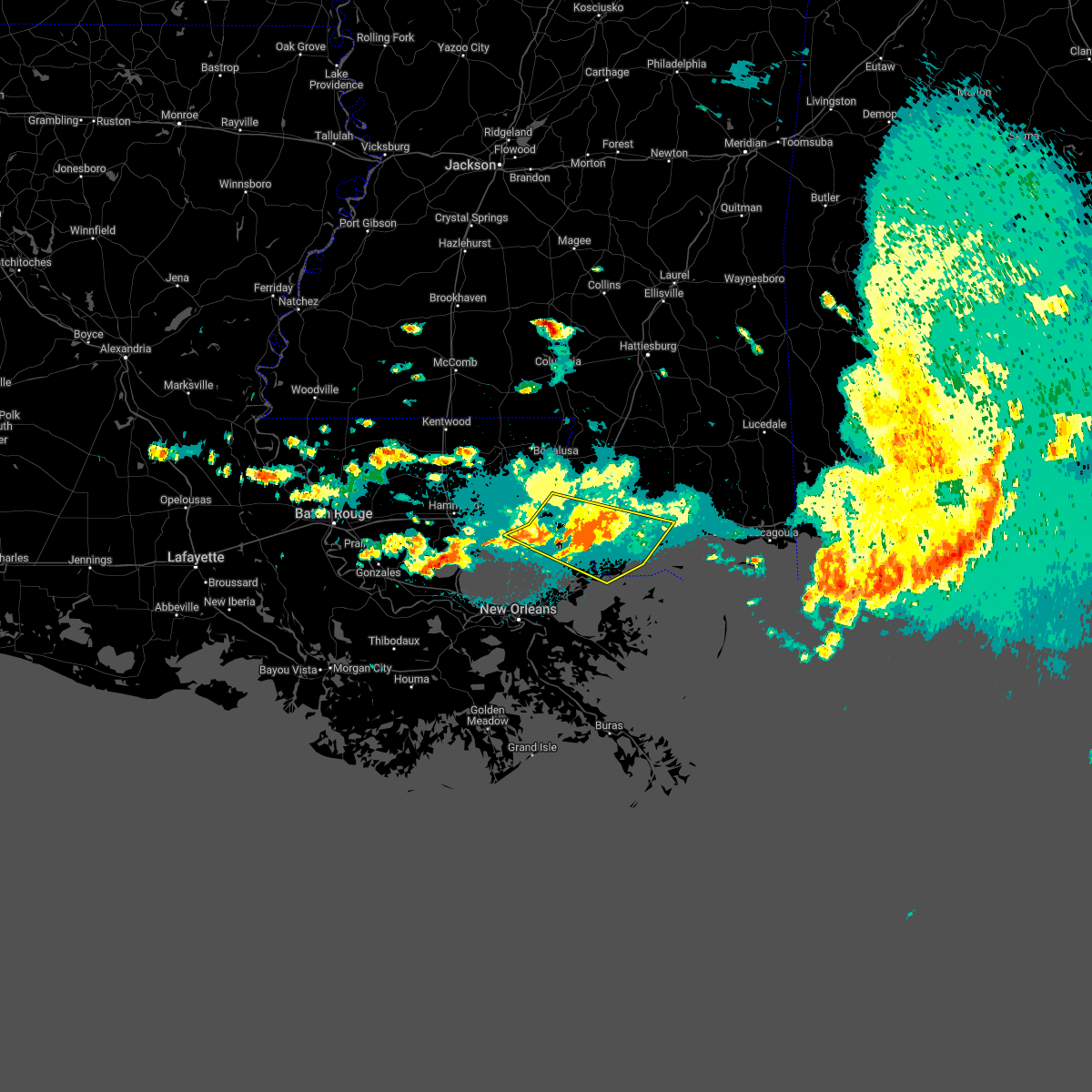
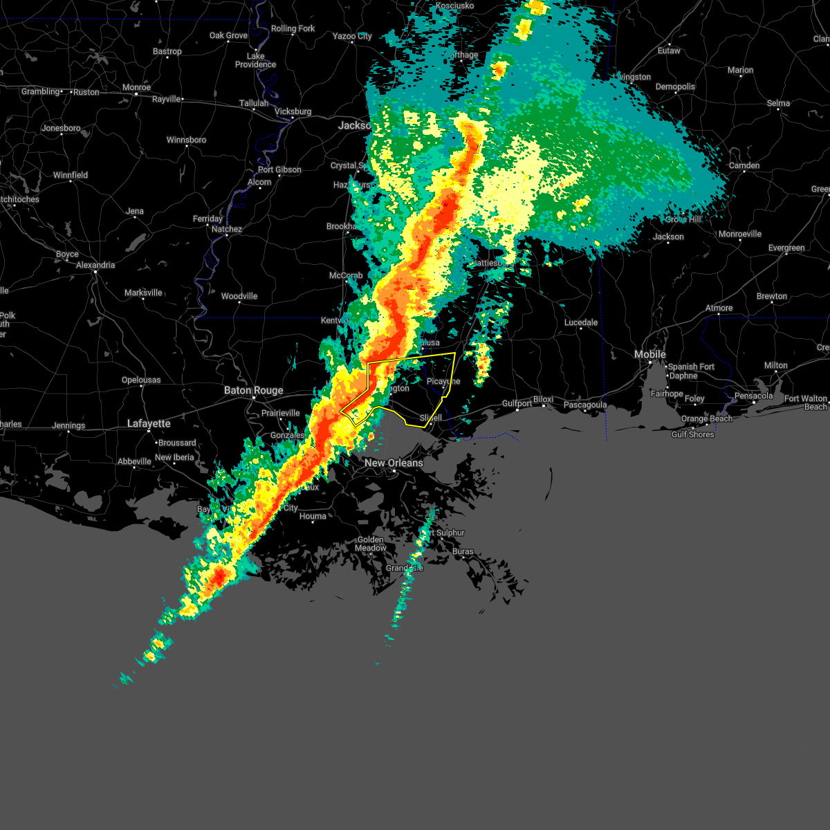
Hail Map for Madisonville, LA
The Madisonville, LA area has had 1 report of on-the-ground hail by trained spotters, and has been under severe weather warnings 14 times during the past 12 months. Doppler radar has detected hail at or near Madisonville, LA on 39 occasions, including 11 occasions during the past year.
| Name: | Madisonville, LA |
| Where Located: | 30.8 miles N of New Orleans, LA |
| Map: | Google Map for Madisonville, LA |
| Population: | 748 |
| Housing Units: | 372 |
| More Info: | Search Google for Madisonville, LA |
5
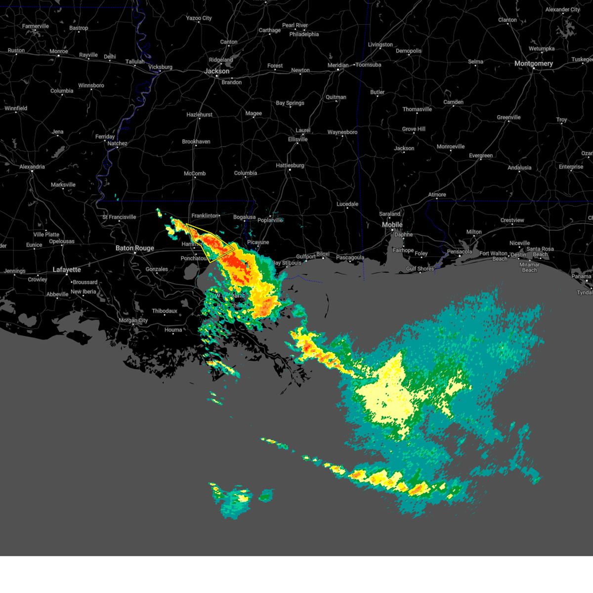
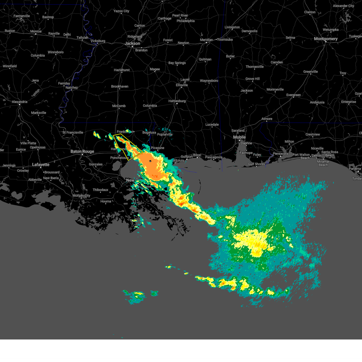
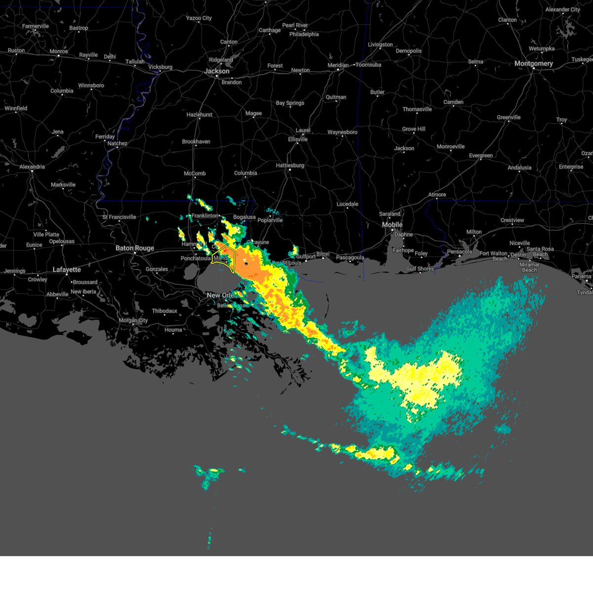
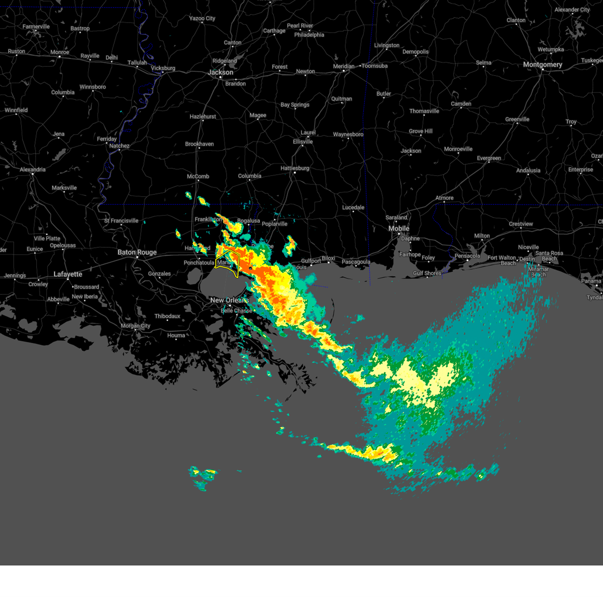
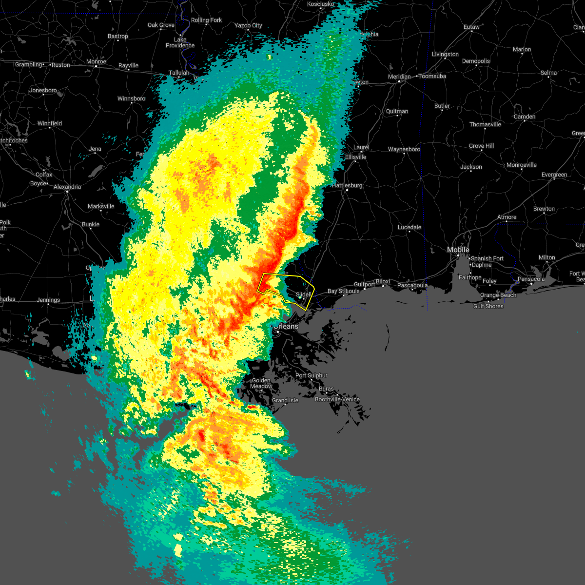
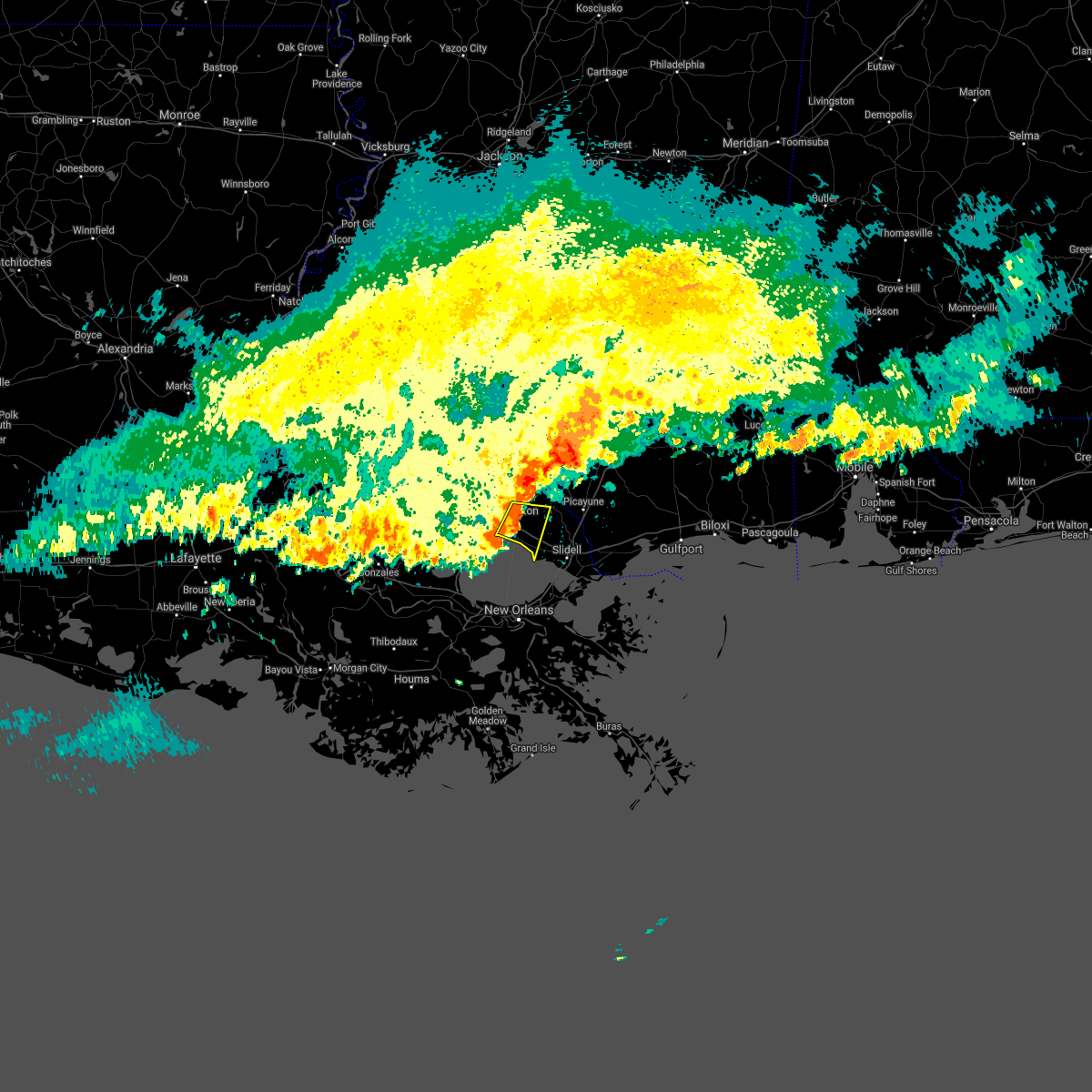
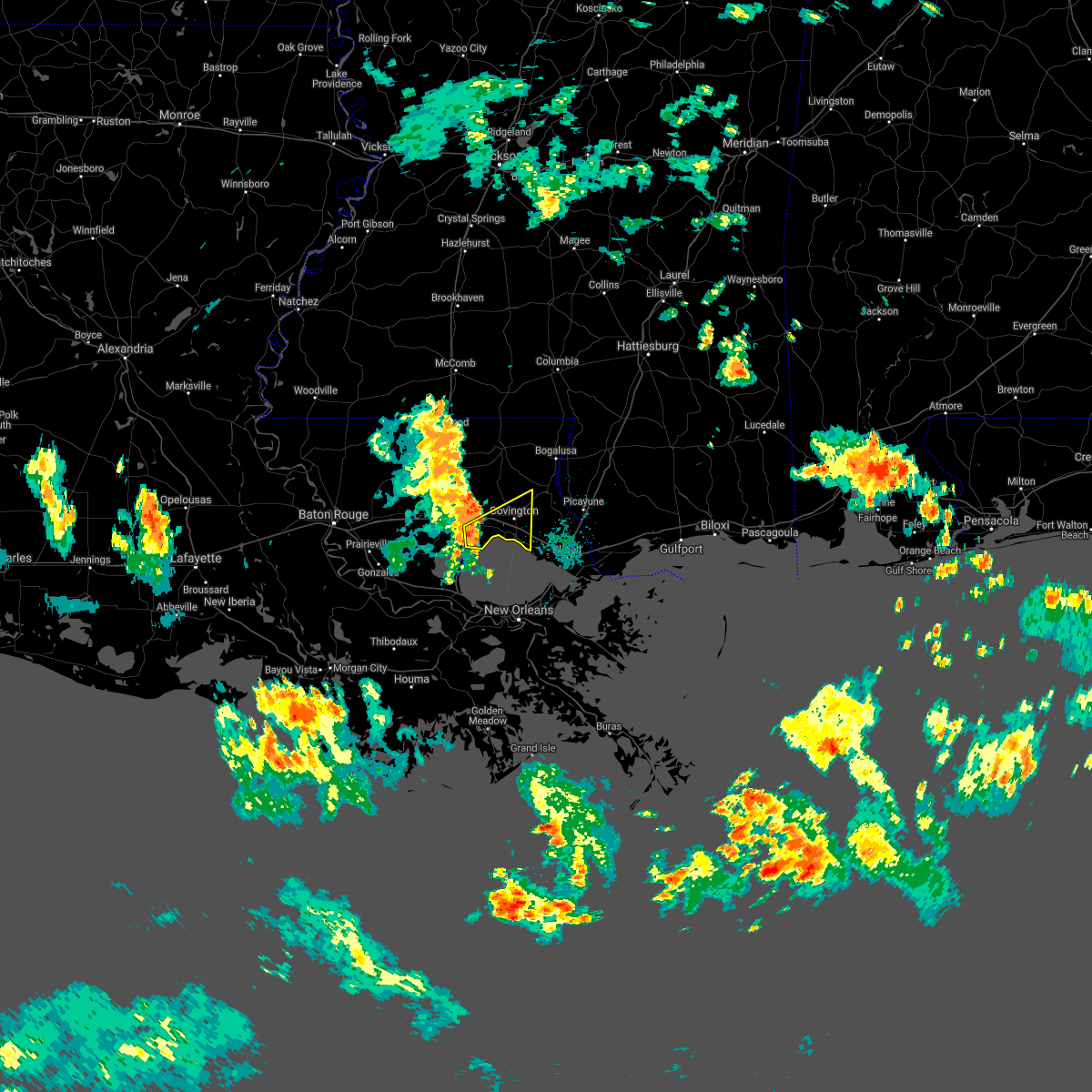
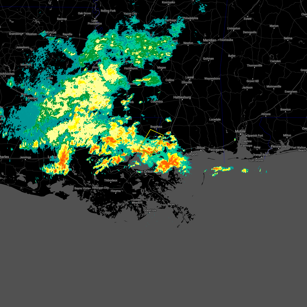
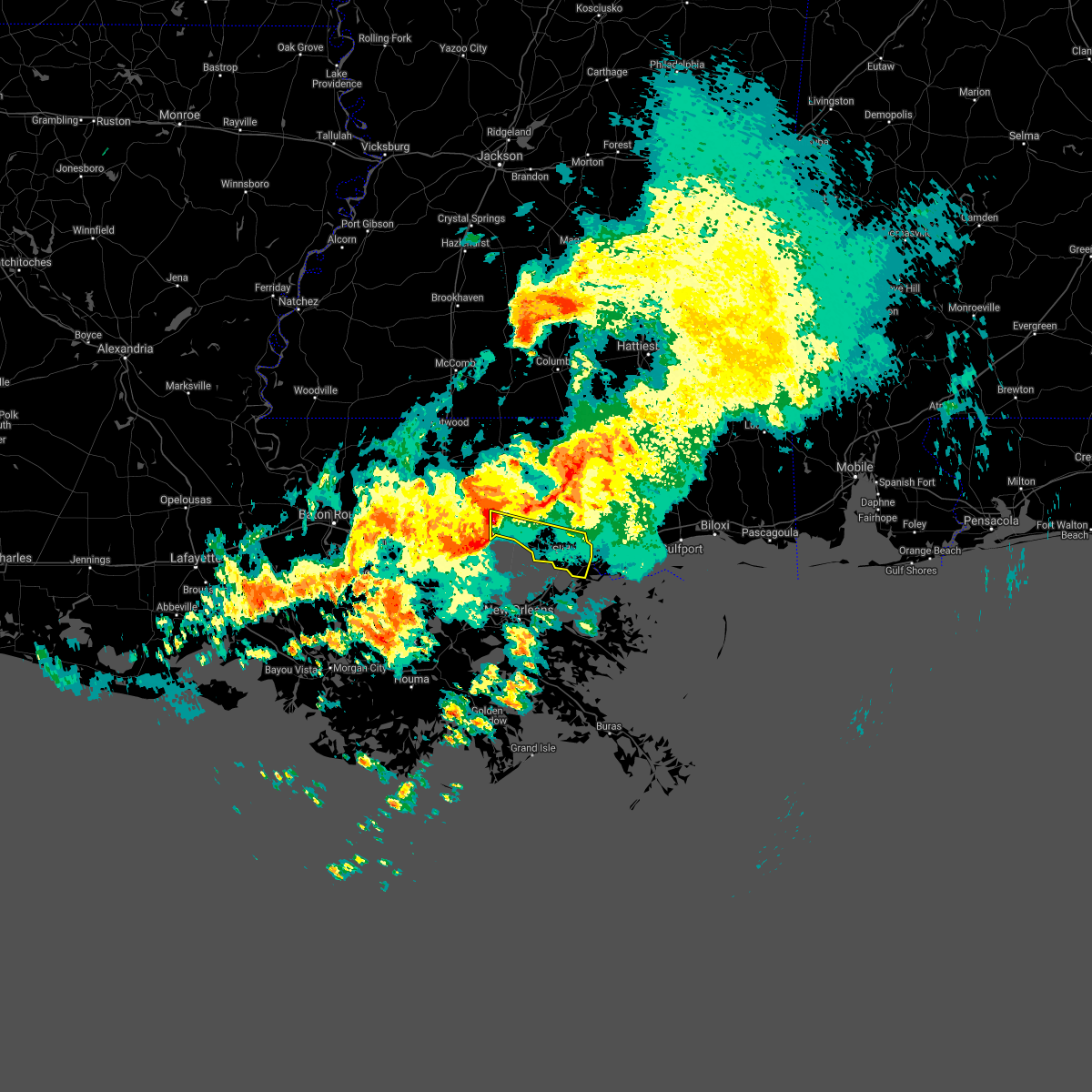
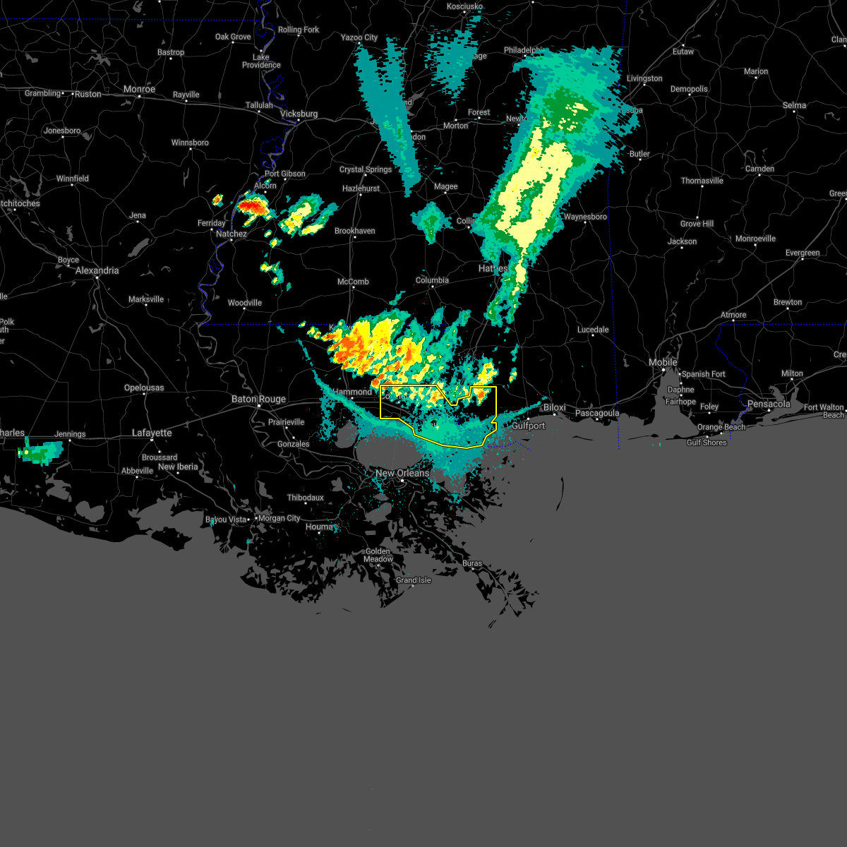
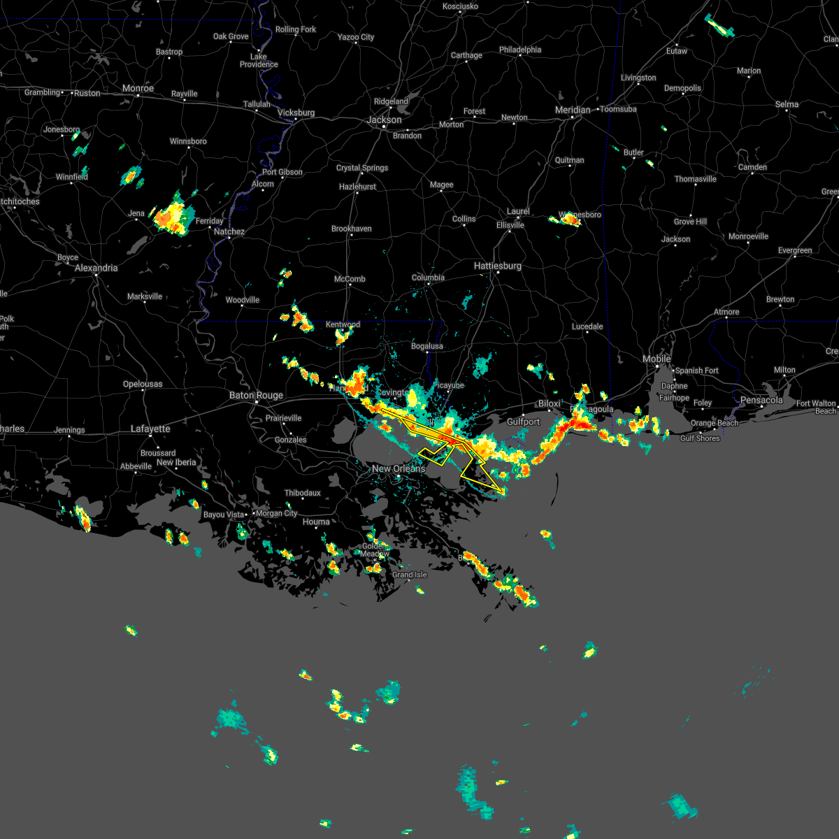
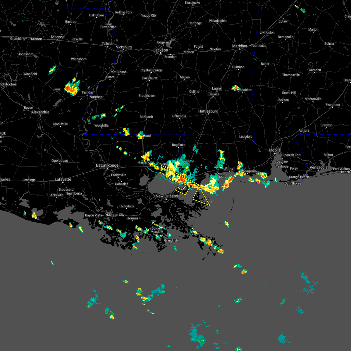
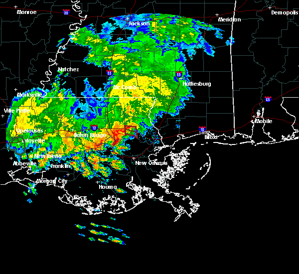
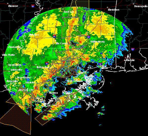
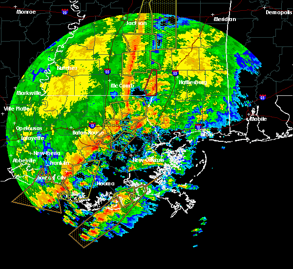
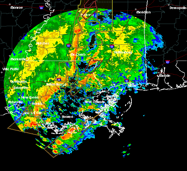
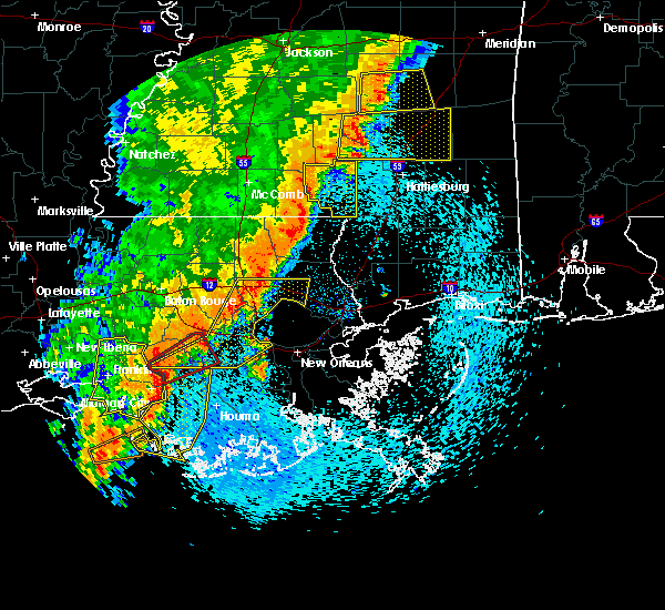
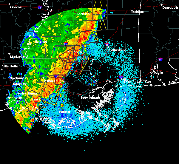
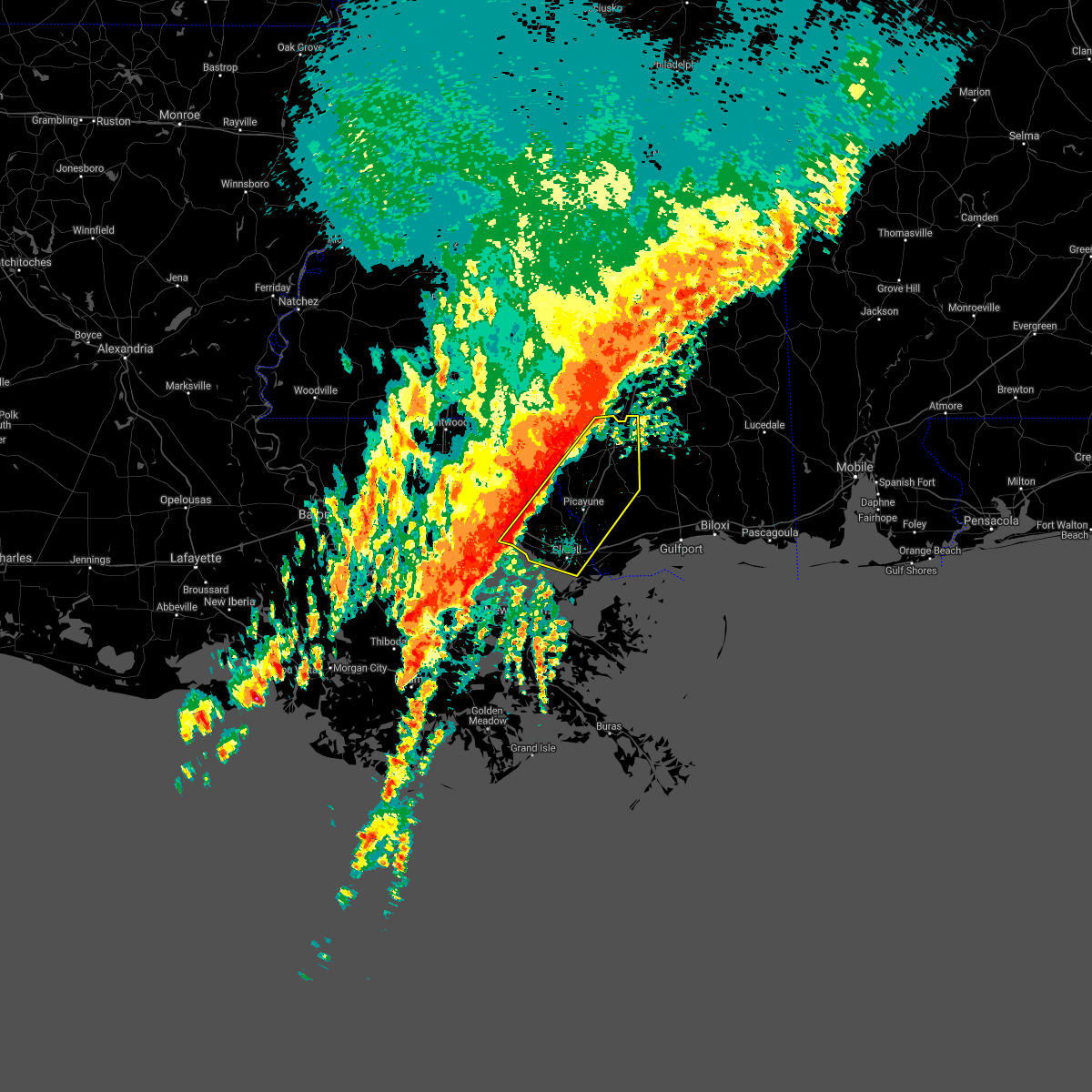
The Top Recent Hail Date for Madisonville, LA is Saturday, July 22, 2023 (2nd out of 39)
Hail and Wind Damage Spotted near Madisonville, LA
| Date / Time | Report Details |
|---|---|
| 4/10/2024 9:23 AM CDT |
 Svrlix the national weather service in new orleans has issued a * severe thunderstorm warning for, northeastern orleans parish in southeastern louisiana, st. tammany parish in southeastern louisiana, southeastern tangipahoa parish in southeastern louisiana, south central washington parish in southeastern louisiana, southwestern pearl river county in southern mississippi, * until 1045 am cdt. * at 923 am cdt, severe thunderstorms were located along a line extending from 7 miles south of wilmer to robert to near ponchatoula to 11 miles east of whitehall, moving east at 50 mph (radar indicated). Hazards include 70 mph wind gusts. Expect considerable tree damage. Damage is likely to mobile homes, roofs, and outbuildings. Svrlix the national weather service in new orleans has issued a * severe thunderstorm warning for, northeastern orleans parish in southeastern louisiana, st. tammany parish in southeastern louisiana, southeastern tangipahoa parish in southeastern louisiana, south central washington parish in southeastern louisiana, southwestern pearl river county in southern mississippi, * until 1045 am cdt. * at 923 am cdt, severe thunderstorms were located along a line extending from 7 miles south of wilmer to robert to near ponchatoula to 11 miles east of whitehall, moving east at 50 mph (radar indicated). Hazards include 70 mph wind gusts. Expect considerable tree damage. Damage is likely to mobile homes, roofs, and outbuildings.
|
| 1/9/2024 1:12 AM CST |
 At 112 am cst, severe thunderstorms were located along a line extending from 8 miles west of bush to 6 miles southwest of madisonville, moving east at 15 mph (radar indicated). Hazards include 60 mph wind gusts. expect damage to roofs, siding, and trees At 112 am cst, severe thunderstorms were located along a line extending from 8 miles west of bush to 6 miles southwest of madisonville, moving east at 15 mph (radar indicated). Hazards include 60 mph wind gusts. expect damage to roofs, siding, and trees
|
| 1/9/2024 1:12 AM CST |
 The national weather service in new orleans has issued a * severe thunderstorm warning for. st. tammany parish in southeastern louisiana. southeastern tangipahoa parish in southeastern louisiana. southwestern pearl river county in southern mississippi. Until 200 am cst. The national weather service in new orleans has issued a * severe thunderstorm warning for. st. tammany parish in southeastern louisiana. southeastern tangipahoa parish in southeastern louisiana. southwestern pearl river county in southern mississippi. Until 200 am cst.
|
| 8/27/2023 3:51 PM CDT |
 The severe thunderstorm warning for northeastern st. john the baptist, west central st. tammany and southeastern tangipahoa parishes will expire at 400 pm cdt, the storm which prompted the warning has moved out of the area. therefore, the warning will be allowed to expire. The severe thunderstorm warning for northeastern st. john the baptist, west central st. tammany and southeastern tangipahoa parishes will expire at 400 pm cdt, the storm which prompted the warning has moved out of the area. therefore, the warning will be allowed to expire.
|
| 8/27/2023 3:22 PM CDT |
 At 322 pm cdt, a severe thunderstorm was located near madisonville, or 8 miles west of covington, moving south at 10 mph (radar indicated). Hazards include 60 mph wind gusts and half dollar size hail. Hail damage to vehicles is expected. Expect wind damage to roofs, siding, and trees. At 322 pm cdt, a severe thunderstorm was located near madisonville, or 8 miles west of covington, moving south at 10 mph (radar indicated). Hazards include 60 mph wind gusts and half dollar size hail. Hail damage to vehicles is expected. Expect wind damage to roofs, siding, and trees.
|
| 8/15/2023 3:57 PM CDT |
 At 357 pm cdt, a severe thunderstorm was located near covington, moving southeast at 15 mph (radar indicated). Hazards include 60 mph wind gusts. expect damage to roofs, siding, and trees At 357 pm cdt, a severe thunderstorm was located near covington, moving southeast at 15 mph (radar indicated). Hazards include 60 mph wind gusts. expect damage to roofs, siding, and trees
|
| 7/22/2023 5:47 PM CDT |
 At 545 pm cdt, severe thunderstorms were located along a line extending from near springfield to 8 miles west of madisonville, moving southeast at 10 mph (radar indicated. report of quarter sized hail near pontchatoula). Hazards include 60 mph wind gusts and quarter size hail. Hail damage to vehicles is expected. expect wind damage to roofs, siding, and trees. locations impacted include, hammond, ponchatoula, albany, madisonville, springfield, killian and w lk pontchartrain buoy. this includes the following interstates, interstate 12 between mile markers 28 and 50. interstate 55 in louisiana between mile markers 13 and 30. hail threat, observed max hail size, 1. 00 in wind threat, radar indicated max wind gust, 60 mph. At 545 pm cdt, severe thunderstorms were located along a line extending from near springfield to 8 miles west of madisonville, moving southeast at 10 mph (radar indicated. report of quarter sized hail near pontchatoula). Hazards include 60 mph wind gusts and quarter size hail. Hail damage to vehicles is expected. expect wind damage to roofs, siding, and trees. locations impacted include, hammond, ponchatoula, albany, madisonville, springfield, killian and w lk pontchartrain buoy. this includes the following interstates, interstate 12 between mile markers 28 and 50. interstate 55 in louisiana between mile markers 13 and 30. hail threat, observed max hail size, 1. 00 in wind threat, radar indicated max wind gust, 60 mph.
|
| 7/22/2023 5:22 PM CDT |
 At 522 pm cdt, severe thunderstorms were located along a line extending from near springfield to near ponchatoula, moving southeast at 10 mph (radar indicated). Hazards include 60 mph wind gusts. expect damage to roofs, siding, and trees At 522 pm cdt, severe thunderstorms were located along a line extending from near springfield to near ponchatoula, moving southeast at 10 mph (radar indicated). Hazards include 60 mph wind gusts. expect damage to roofs, siding, and trees
|
| 6/19/2023 10:29 PM CDT |
 At 1029 pm cdt, severe thunderstorms were located along a line extending from near roseland to near robert, moving northwest at 25 mph (radar indicated). Hazards include 60 mph wind gusts and quarter size hail. Hail damage to vehicles is expected. expect wind damage to roofs, siding, and trees. locations impacted include, covington, amite, amite city, abita springs, independence, madisonville, folsom and robert. this includes the following interstates, interstate 12 between mile markers 47 and 62. interstate 55 in louisiana between mile markers 46 and 48. hail threat, radar indicated max hail size, 1. 00 in wind threat, radar indicated max wind gust, 60 mph. At 1029 pm cdt, severe thunderstorms were located along a line extending from near roseland to near robert, moving northwest at 25 mph (radar indicated). Hazards include 60 mph wind gusts and quarter size hail. Hail damage to vehicles is expected. expect wind damage to roofs, siding, and trees. locations impacted include, covington, amite, amite city, abita springs, independence, madisonville, folsom and robert. this includes the following interstates, interstate 12 between mile markers 47 and 62. interstate 55 in louisiana between mile markers 46 and 48. hail threat, radar indicated max hail size, 1. 00 in wind threat, radar indicated max wind gust, 60 mph.
|
| 6/19/2023 10:09 PM CDT |
 At 1008 pm cdt, severe thunderstorms were located along a line extending from near amite to near covington, moving northwest at 25 mph (radar indicated). Hazards include 60 mph wind gusts and quarter size hail. Hail damage to vehicles is expected. Expect wind damage to roofs, siding, and trees. At 1008 pm cdt, severe thunderstorms were located along a line extending from near amite to near covington, moving northwest at 25 mph (radar indicated). Hazards include 60 mph wind gusts and quarter size hail. Hail damage to vehicles is expected. Expect wind damage to roofs, siding, and trees.
|
| 6/19/2023 9:51 PM CDT |
 At 950 pm cdt, a severe thunderstorm was located 7 miles southeast of madisonville, or 11 miles south of covington, moving southwest at 35 mph (radar indicated). Hazards include 60 mph wind gusts. Expect damage to roofs, siding, and trees. locations impacted include, covington, abita springs, madisonville and lacombe. this includes interstate 12 between mile markers 57 and 70. this has produced a 46 mph gust at slidell airpoprt and a wind gust up to 47 mph at mandeville. hail threat, radar indicated max hail size, <. 75 in wind threat, radar indicated max wind gust, 60 mph. At 950 pm cdt, a severe thunderstorm was located 7 miles southeast of madisonville, or 11 miles south of covington, moving southwest at 35 mph (radar indicated). Hazards include 60 mph wind gusts. Expect damage to roofs, siding, and trees. locations impacted include, covington, abita springs, madisonville and lacombe. this includes interstate 12 between mile markers 57 and 70. this has produced a 46 mph gust at slidell airpoprt and a wind gust up to 47 mph at mandeville. hail threat, radar indicated max hail size, <. 75 in wind threat, radar indicated max wind gust, 60 mph.
|
| 6/19/2023 9:36 PM CDT |
 At 936 pm cdt, a severe thunderstorm was located near abita springs, or near covington, moving south at 50 mph (radar indicated). Hazards include 70 mph wind gusts. Expect considerable tree damage. Damage is likely to mobile homes, roofs, and outbuildings. At 936 pm cdt, a severe thunderstorm was located near abita springs, or near covington, moving south at 50 mph (radar indicated). Hazards include 70 mph wind gusts. Expect considerable tree damage. Damage is likely to mobile homes, roofs, and outbuildings.
|
| 5/6/2023 9:10 AM CDT |
 At 909 am cdt, severe thunderstorms were located along a line extending from near abita springs to near lacombe, moving east at 40 mph (radar indicated). Hazards include 70 mph wind gusts and penny size hail. Expect considerable tree damage. damage is likely to mobile homes, roofs, and outbuildings. locations impacted include, slidell, covington, pearl river, abita springs, madisonville, sun, bush, lacombe, pearlington and slidell airport. this includes the following interstates, interstate 10 in louisiana between mile markers 260 and 273. interstate 10 in mississippi near mile marker 1. interstate 12 between mile markers 52 and 84. Interstate 59 in louisiana between mile markers 1 and 10. At 909 am cdt, severe thunderstorms were located along a line extending from near abita springs to near lacombe, moving east at 40 mph (radar indicated). Hazards include 70 mph wind gusts and penny size hail. Expect considerable tree damage. damage is likely to mobile homes, roofs, and outbuildings. locations impacted include, slidell, covington, pearl river, abita springs, madisonville, sun, bush, lacombe, pearlington and slidell airport. this includes the following interstates, interstate 10 in louisiana between mile markers 260 and 273. interstate 10 in mississippi near mile marker 1. interstate 12 between mile markers 52 and 84. Interstate 59 in louisiana between mile markers 1 and 10.
|
| 5/6/2023 8:50 AM CDT |
 At 850 am cdt, severe thunderstorms were located along a line extending from near covington to 9 miles south of madisonville, moving east at 45 mph (radar indicated). Hazards include 70 mph wind gusts and penny size hail. Expect considerable tree damage. Damage is likely to mobile homes, roofs, and outbuildings. At 850 am cdt, severe thunderstorms were located along a line extending from near covington to 9 miles south of madisonville, moving east at 45 mph (radar indicated). Hazards include 70 mph wind gusts and penny size hail. Expect considerable tree damage. Damage is likely to mobile homes, roofs, and outbuildings.
|
| 1/24/2023 10:16 PM CST |
 At 1016 pm cst, a severe thunderstorm was located near covington, moving northeast at 40 mph (radar indicated). Hazards include 60 mph wind gusts and penny size hail. expect damage to roofs, siding, and trees At 1016 pm cst, a severe thunderstorm was located near covington, moving northeast at 40 mph (radar indicated). Hazards include 60 mph wind gusts and penny size hail. expect damage to roofs, siding, and trees
|
| 1/24/2023 10:05 PM CST |
 At 1004 pm cst, severe thunderstorms were located along a line extending from near enon to near folsom to 9 miles southeast of ponchatoula, moving northeast at 75 mph (radar indicated). Hazards include 60 mph wind gusts. Expect damage to roofs, siding, and trees. locations impacted include, covington, abita springs, madisonville, folsom, enon and robert. this includes the following interstates, interstate 12 between mile markers 47 and 67. Interstate 55 in louisiana between mile markers 17 and 21. At 1004 pm cst, severe thunderstorms were located along a line extending from near enon to near folsom to 9 miles southeast of ponchatoula, moving northeast at 75 mph (radar indicated). Hazards include 60 mph wind gusts. Expect damage to roofs, siding, and trees. locations impacted include, covington, abita springs, madisonville, folsom, enon and robert. this includes the following interstates, interstate 12 between mile markers 47 and 67. Interstate 55 in louisiana between mile markers 17 and 21.
|
| 1/24/2023 9:35 PM CST |
 At 934 pm cst, a severe thunderstorm was located near natalbany, or near hammond, moving northeast at 45 mph (radar indicated). Hazards include 60 mph wind gusts and penny size hail. expect damage to roofs, siding, and trees At 934 pm cst, a severe thunderstorm was located near natalbany, or near hammond, moving northeast at 45 mph (radar indicated). Hazards include 60 mph wind gusts and penny size hail. expect damage to roofs, siding, and trees
|
| 1/4/2023 12:25 AM CST |
 At 1225 am cst, severe thunderstorms were located along a line extending from madisonville to 11 miles west of lacombe, moving east at 45 mph (radar indicated). Hazards include 60 mph wind gusts and nickel size hail. expect damage to roofs, siding, and trees At 1225 am cst, severe thunderstorms were located along a line extending from madisonville to 11 miles west of lacombe, moving east at 45 mph (radar indicated). Hazards include 60 mph wind gusts and nickel size hail. expect damage to roofs, siding, and trees
|
| 12/30/2022 8:16 AM CST |
 At 815 am cst, a severe thunderstorm was located over madisonville, or near covington, moving east at 30 mph (radar indicated). Hazards include 60 mph wind gusts. expect damage to roofs, siding, and trees At 815 am cst, a severe thunderstorm was located over madisonville, or near covington, moving east at 30 mph (radar indicated). Hazards include 60 mph wind gusts. expect damage to roofs, siding, and trees
|
| 12/14/2022 2:36 PM CST |
 At 236 pm cst, a severe thunderstorm was located over madisonville, or 8 miles south of covington, moving northeast at 40 mph (radar indicated). Hazards include 60 mph wind gusts. expect damage to roofs, siding, and trees At 236 pm cst, a severe thunderstorm was located over madisonville, or 8 miles south of covington, moving northeast at 40 mph (radar indicated). Hazards include 60 mph wind gusts. expect damage to roofs, siding, and trees
|
| 12/14/2022 12:25 PM CST |
 At 1225 pm cst, a severe thunderstorm was located near madisonville, or 9 miles southwest of covington, moving northeast at 45 mph (radar indicated). Hazards include 60 mph wind gusts. expect damage to roofs, siding, and trees At 1225 pm cst, a severe thunderstorm was located near madisonville, or 9 miles southwest of covington, moving northeast at 45 mph (radar indicated). Hazards include 60 mph wind gusts. expect damage to roofs, siding, and trees
|
| 12/14/2022 11:44 AM CST |
 At 1144 am cst, a severe thunderstorm capable of producing a tornado was located over madisonville, or 7 miles southwest of covington, moving north at 25 mph (radar indicated rotation). Hazards include tornado. Flying debris will be dangerous to those caught without shelter. mobile homes will be damaged or destroyed. damage to roofs, windows, and vehicles will occur. tree damage is likely. this dangerous storm will be near, covington around 1200 pm cst. This includes interstate 12 between mile markers 52 and 63. At 1144 am cst, a severe thunderstorm capable of producing a tornado was located over madisonville, or 7 miles southwest of covington, moving north at 25 mph (radar indicated rotation). Hazards include tornado. Flying debris will be dangerous to those caught without shelter. mobile homes will be damaged or destroyed. damage to roofs, windows, and vehicles will occur. tree damage is likely. this dangerous storm will be near, covington around 1200 pm cst. This includes interstate 12 between mile markers 52 and 63.
|
| 8/1/2022 3:02 PM CDT |
 The national weather service in new orleans has issued a * severe thunderstorm warning for. west central st. tammany parish in southeastern louisiana. southeastern tangipahoa parish in southeastern louisiana. until 345 pm cdt. At 302 pm cdt, a severe thunderstorm was located near robert, or 8. The national weather service in new orleans has issued a * severe thunderstorm warning for. west central st. tammany parish in southeastern louisiana. southeastern tangipahoa parish in southeastern louisiana. until 345 pm cdt. At 302 pm cdt, a severe thunderstorm was located near robert, or 8.
|
| 7/15/2022 3:15 PM CDT |
 At 312 pm cdt, a severe thunderstorm was located over covington, moving northwest at 5 mph (radar indicated). Hazards include 60 mph wind gusts and quarter size hail. Hail damage to vehicles is expected. expect wind damage to roofs, siding, and trees. locations impacted include, covington and abita springs. This includes interstate 12 between mile markers 54 and 65. At 312 pm cdt, a severe thunderstorm was located over covington, moving northwest at 5 mph (radar indicated). Hazards include 60 mph wind gusts and quarter size hail. Hail damage to vehicles is expected. expect wind damage to roofs, siding, and trees. locations impacted include, covington and abita springs. This includes interstate 12 between mile markers 54 and 65.
|
| 7/15/2022 3:11 PM CDT |
 At 311 pm cdt, a severe thunderstorm was located over covington, moving northwest at 5 mph (radar indicated). Hazards include 60 mph wind gusts and quarter size hail. Hail damage to vehicles is expected. Expect wind damage to roofs, siding, and trees. At 311 pm cdt, a severe thunderstorm was located over covington, moving northwest at 5 mph (radar indicated). Hazards include 60 mph wind gusts and quarter size hail. Hail damage to vehicles is expected. Expect wind damage to roofs, siding, and trees.
|
| 6/9/2022 4:59 PM CDT |
 At 459 pm cdt, a severe thunderstorm was located near lacombe, or 11 miles southeast of covington, moving southeast at 20 mph (radar indicated). Hazards include 60 mph wind gusts and half dollar size hail. Hail damage to vehicles is expected. Expect wind damage to roofs, siding, and trees. At 459 pm cdt, a severe thunderstorm was located near lacombe, or 11 miles southeast of covington, moving southeast at 20 mph (radar indicated). Hazards include 60 mph wind gusts and half dollar size hail. Hail damage to vehicles is expected. Expect wind damage to roofs, siding, and trees.
|
| 5/13/2022 4:27 PM CDT |
 At 427 pm cdt, a severe thunderstorm was located near madisonville, or 7 miles south of covington, moving southwest at 15 mph (radar indicated). Hazards include 60 mph wind gusts and penny size hail. Expect damage to roofs, siding, and trees. locations impacted include, covington, abita springs and madisonville. this includes interstate 12 between mile markers 57 and 69. hail threat, radar indicated max hail size, 0. 75 in wind threat, radar indicated max wind gust, 60 mph. At 427 pm cdt, a severe thunderstorm was located near madisonville, or 7 miles south of covington, moving southwest at 15 mph (radar indicated). Hazards include 60 mph wind gusts and penny size hail. Expect damage to roofs, siding, and trees. locations impacted include, covington, abita springs and madisonville. this includes interstate 12 between mile markers 57 and 69. hail threat, radar indicated max hail size, 0. 75 in wind threat, radar indicated max wind gust, 60 mph.
|
| 5/13/2022 4:03 PM CDT |
 At 402 pm cdt, a severe thunderstorm was located over covington, moving southwest at 15 mph (radar indicated). Hazards include 60 mph wind gusts and quarter size hail. Hail damage to vehicles is expected. Expect wind damage to roofs, siding, and trees. At 402 pm cdt, a severe thunderstorm was located over covington, moving southwest at 15 mph (radar indicated). Hazards include 60 mph wind gusts and quarter size hail. Hail damage to vehicles is expected. Expect wind damage to roofs, siding, and trees.
|
| 4/17/2022 11:15 PM CDT |
 At 1114 pm cdt, severe thunderstorms were located along a line extending from near stennis space center to near pearlington to near slidell, moving southeast at 50 mph (radar indicated). Hazards include 60 mph wind gusts. Expect damage to roofs, siding, and trees. locations impacted include, slidell, picayune, bay st. louis, waveland, diamondhead, pearl river, madisonville, kiln, pearlington, lacombe, shoreline park, stennis space center and slidell airport. this includes the following interstates, interstate 10 in louisiana between mile markers 263 and 273. interstate 10 in mississippi between mile markers 1 and 29. interstate 12 between mile markers 65 and 84. interstate 59 in louisiana between mile markers 1 and 11. interstate 59 in mississippi between mile markers 1 and 8. hail threat, radar indicated max hail size, <. 75 in wind threat, radar indicated max wind gust, 60 mph. At 1114 pm cdt, severe thunderstorms were located along a line extending from near stennis space center to near pearlington to near slidell, moving southeast at 50 mph (radar indicated). Hazards include 60 mph wind gusts. Expect damage to roofs, siding, and trees. locations impacted include, slidell, picayune, bay st. louis, waveland, diamondhead, pearl river, madisonville, kiln, pearlington, lacombe, shoreline park, stennis space center and slidell airport. this includes the following interstates, interstate 10 in louisiana between mile markers 263 and 273. interstate 10 in mississippi between mile markers 1 and 29. interstate 12 between mile markers 65 and 84. interstate 59 in louisiana between mile markers 1 and 11. interstate 59 in mississippi between mile markers 1 and 8. hail threat, radar indicated max hail size, <. 75 in wind threat, radar indicated max wind gust, 60 mph.
|
| 3/30/2022 6:53 PM CDT |
 At 653 pm cdt, severe thunderstorms were located along a line extending from near enon to 6 miles northwest of covington to 7 miles south of ponchatoula, moving east at 35 mph (radar indicated). Hazards include 60 mph wind gusts. expect damage to roofs, siding, and trees At 653 pm cdt, severe thunderstorms were located along a line extending from near enon to 6 miles northwest of covington to 7 miles south of ponchatoula, moving east at 35 mph (radar indicated). Hazards include 60 mph wind gusts. expect damage to roofs, siding, and trees
|
| 12/6/2021 3:01 PM CST |
 At 301 pm cst, a severe thunderstorm was located over abita springs, or near covington, moving east at 45 mph (radar indicated). Hazards include 70 mph wind gusts. Expect considerable tree damage. damage is likely to mobile homes, roofs, and outbuildings. locations impacted include, covington, abita springs, madisonville and lacombe. This includes interstate 12 between mile markers 58 and 72. At 301 pm cst, a severe thunderstorm was located over abita springs, or near covington, moving east at 45 mph (radar indicated). Hazards include 70 mph wind gusts. Expect considerable tree damage. damage is likely to mobile homes, roofs, and outbuildings. locations impacted include, covington, abita springs, madisonville and lacombe. This includes interstate 12 between mile markers 58 and 72.
|
| 12/6/2021 2:47 PM CST |
 At 246 pm cst, a severe thunderstorm was located near covington, moving east at 50 mph (radar indicated). Hazards include 60 mph wind gusts. Expect damage to roofs, siding, and trees. locations impacted include, covington, abita springs, madisonville and lacombe. this includes the following interstates, interstate 12 between mile markers 47 and 72. Interstate 55 in louisiana between mile markers 18 and 20. At 246 pm cst, a severe thunderstorm was located near covington, moving east at 50 mph (radar indicated). Hazards include 60 mph wind gusts. Expect damage to roofs, siding, and trees. locations impacted include, covington, abita springs, madisonville and lacombe. this includes the following interstates, interstate 12 between mile markers 47 and 72. Interstate 55 in louisiana between mile markers 18 and 20.
|
| 12/6/2021 2:30 PM CST |
 At 230 pm cst, a severe thunderstorm was located near ponchatoula, or near hammond, moving east at 50 mph (radar indicated). Hazards include 60 mph wind gusts. expect damage to roofs, siding, and trees At 230 pm cst, a severe thunderstorm was located near ponchatoula, or near hammond, moving east at 50 mph (radar indicated). Hazards include 60 mph wind gusts. expect damage to roofs, siding, and trees
|
| 10/27/2021 6:51 PM CDT |
 The severe thunderstorm warning for central st. tammany parish will expire at 700 pm cdt, the storms which prompted the warning have moved out of the warned area. therefore, the warning will be allowed to expire. a tornado watch remains in effect until 1000 pm cdt for southeastern louisiana, and southern mississippi. The severe thunderstorm warning for central st. tammany parish will expire at 700 pm cdt, the storms which prompted the warning have moved out of the warned area. therefore, the warning will be allowed to expire. a tornado watch remains in effect until 1000 pm cdt for southeastern louisiana, and southern mississippi.
|
| 10/27/2021 6:32 PM CDT |
 At 632 pm cdt, severe thunderstorms were located along a line extending from near bush to near pearl river, moving northeast at 45 mph (radar indicated). Hazards include 60 mph wind gusts. Expect damage to roofs, siding, and trees. locations impacted include, slidell, covington, pearl river, abita springs, madisonville, bush, lacombe and slidell airport. this includes the following interstates, interstate 10 in louisiana between mile markers 265 and 271. interstate 12 between mile markers 60 and 84. interstate 59 in louisiana between mile markers 1 and 9. hail threat, radar indicated max hail size, <. 75 in wind threat, radar indicated max wind gust, 60 mph. At 632 pm cdt, severe thunderstorms were located along a line extending from near bush to near pearl river, moving northeast at 45 mph (radar indicated). Hazards include 60 mph wind gusts. Expect damage to roofs, siding, and trees. locations impacted include, slidell, covington, pearl river, abita springs, madisonville, bush, lacombe and slidell airport. this includes the following interstates, interstate 10 in louisiana between mile markers 265 and 271. interstate 12 between mile markers 60 and 84. interstate 59 in louisiana between mile markers 1 and 9. hail threat, radar indicated max hail size, <. 75 in wind threat, radar indicated max wind gust, 60 mph.
|
| 10/27/2021 6:10 PM CDT |
 At 609 pm cdt, severe thunderstorms were located along a line extending from 7 miles south of madisonville to 8 miles north of metairie, over lake pontchartrain moving northeast at 45 mph (radar indicated). Hazards include 60 mph wind gusts. expect damage to roofs, siding, and trees At 609 pm cdt, severe thunderstorms were located along a line extending from 7 miles south of madisonville to 8 miles north of metairie, over lake pontchartrain moving northeast at 45 mph (radar indicated). Hazards include 60 mph wind gusts. expect damage to roofs, siding, and trees
|
| 6/21/2021 11:14 AM CDT |
 At 1113 am cdt, a severe thunderstorm was located over covington, moving east at 30 mph (radar indicated). Hazards include 60 mph wind gusts. Expect damage to roofs, siding, and trees. locations impacted include, covington, abita springs and madisonville. This includes interstate 12 between mile markers 54 and 69. At 1113 am cdt, a severe thunderstorm was located over covington, moving east at 30 mph (radar indicated). Hazards include 60 mph wind gusts. Expect damage to roofs, siding, and trees. locations impacted include, covington, abita springs and madisonville. This includes interstate 12 between mile markers 54 and 69.
|
| 6/21/2021 10:52 AM CDT |
 At 1052 am cdt, a severe thunderstorm was located 8 miles south of robert, or 11 miles southeast of hammond, moving east at 30 mph (radar indicated). Hazards include 60 mph wind gusts. expect damage to roofs, siding, and trees At 1052 am cdt, a severe thunderstorm was located 8 miles south of robert, or 11 miles southeast of hammond, moving east at 30 mph (radar indicated). Hazards include 60 mph wind gusts. expect damage to roofs, siding, and trees
|
| 5/18/2021 3:09 AM CDT |
 The tornado warning for west central st. tammany parish will expire at 315 am cdt, the storm which prompted the warning has weakened below severe limits, and no longer appears capable of producing a tornado. therefore, the warning will be allowed to expire. The tornado warning for west central st. tammany parish will expire at 315 am cdt, the storm which prompted the warning has weakened below severe limits, and no longer appears capable of producing a tornado. therefore, the warning will be allowed to expire.
|
| 5/18/2021 2:49 AM CDT |
 At 248 am cdt, a severe thunderstorm capable of producing a tornado was located near madisonville, or 8 miles southwest of covington, moving north at 15 mph (radar indicated rotation). Hazards include tornado. Flying debris will be dangerous to those caught without shelter. mobile homes will be damaged or destroyed. damage to roofs, windows, and vehicles will occur. tree damage is likely. this tornadic thunderstorm will remain over mainly rural areas of west central st. tammany parish. This includes interstate 12 between mile markers 55 and 59. At 248 am cdt, a severe thunderstorm capable of producing a tornado was located near madisonville, or 8 miles southwest of covington, moving north at 15 mph (radar indicated rotation). Hazards include tornado. Flying debris will be dangerous to those caught without shelter. mobile homes will be damaged or destroyed. damage to roofs, windows, and vehicles will occur. tree damage is likely. this tornadic thunderstorm will remain over mainly rural areas of west central st. tammany parish. This includes interstate 12 between mile markers 55 and 59.
|
| 5/18/2021 2:23 AM CDT |
 At 222 am cdt, a severe thunderstorm capable of producing a tornado was located near madisonville, or 8 miles southwest of covington, moving northwest at 15 mph (radar indicated rotation). Hazards include tornado. Flying debris will be dangerous to those caught without shelter. mobile homes will be damaged or destroyed. damage to roofs, windows, and vehicles will occur. tree damage is likely. this tornadic thunderstorm will remain over mainly rural areas of west central st. tammany and southeastern tangipahoa parishes. This includes interstate 12 between mile markers 57 and 62. At 222 am cdt, a severe thunderstorm capable of producing a tornado was located near madisonville, or 8 miles southwest of covington, moving northwest at 15 mph (radar indicated rotation). Hazards include tornado. Flying debris will be dangerous to those caught without shelter. mobile homes will be damaged or destroyed. damage to roofs, windows, and vehicles will occur. tree damage is likely. this tornadic thunderstorm will remain over mainly rural areas of west central st. tammany and southeastern tangipahoa parishes. This includes interstate 12 between mile markers 57 and 62.
|
| 5/11/2021 9:14 AM CDT |
 At 914 am cdt, a severe thunderstorm was located near abita springs, or near covington, moving northeast at 25 mph (radar indicated). Hazards include 60 mph wind gusts. expect damage to roofs, siding, and trees At 914 am cdt, a severe thunderstorm was located near abita springs, or near covington, moving northeast at 25 mph (radar indicated). Hazards include 60 mph wind gusts. expect damage to roofs, siding, and trees
|
| 4/13/2021 12:14 PM CDT |
 At 1213 pm cdt, severe thunderstorms were located along a line extending from 6 miles west of folsom to near robert, moving east at 35 mph (radar indicated). Hazards include 60 mph wind gusts and penny size hail. expect damage to roofs, siding, and trees At 1213 pm cdt, severe thunderstorms were located along a line extending from 6 miles west of folsom to near robert, moving east at 35 mph (radar indicated). Hazards include 60 mph wind gusts and penny size hail. expect damage to roofs, siding, and trees
|
| 4/13/2021 12:00 PM CDT |
 At 1158 am cdt, severe thunderstorms were located along a line extending from near amite to 6 miles northwest of robert to near ponchatoula, moving east at 45 mph (radar indicated). Hazards include 60 mph wind gusts and nickel size hail. Expect damage to roofs, siding, and trees. Locations impacted include, hammond, covington, amite, ponchatoula, amite city, independence, roseland, madisonville, folsom, springfield, natalbany, robert and tickfaw. At 1158 am cdt, severe thunderstorms were located along a line extending from near amite to 6 miles northwest of robert to near ponchatoula, moving east at 45 mph (radar indicated). Hazards include 60 mph wind gusts and nickel size hail. Expect damage to roofs, siding, and trees. Locations impacted include, hammond, covington, amite, ponchatoula, amite city, independence, roseland, madisonville, folsom, springfield, natalbany, robert and tickfaw.
|
| 4/13/2021 11:45 AM CDT |
 At 1144 am cdt, severe thunderstorms were located along a line extending from near amite city to albany, moving southeast at 35 mph (radar indicated). Hazards include 60 mph wind gusts and nickel size hail. expect damage to roofs, siding, and trees At 1144 am cdt, severe thunderstorms were located along a line extending from near amite city to albany, moving southeast at 35 mph (radar indicated). Hazards include 60 mph wind gusts and nickel size hail. expect damage to roofs, siding, and trees
|
| 4/8/2021 2:30 AM CDT |
 At 230 am cdt, a severe thunderstorm capable of producing a tornado was located over madisonville, or near covington, moving east at 30 mph (radar indicated rotation). Hazards include tornado. Flying debris will be dangerous to those caught without shelter. mobile homes will be damaged or destroyed. damage to roofs, windows, and vehicles will occur. tree damage is likely. this dangerous storm will be near, covington around 240 am cdt. abita springs around 250 am cdt. Lacombe around 255 am cdt. At 230 am cdt, a severe thunderstorm capable of producing a tornado was located over madisonville, or near covington, moving east at 30 mph (radar indicated rotation). Hazards include tornado. Flying debris will be dangerous to those caught without shelter. mobile homes will be damaged or destroyed. damage to roofs, windows, and vehicles will occur. tree damage is likely. this dangerous storm will be near, covington around 240 am cdt. abita springs around 250 am cdt. Lacombe around 255 am cdt.
|
| 4/8/2021 2:24 AM CDT |
 At 224 am cdt, a severe thunderstorm was located over madisonville, or near covington, moving east at 40 mph (radar indicated). Hazards include 60 mph wind gusts and quarter size hail. Hail damage to vehicles is expected. Expect wind damage to roofs, siding, and trees. At 224 am cdt, a severe thunderstorm was located over madisonville, or near covington, moving east at 40 mph (radar indicated). Hazards include 60 mph wind gusts and quarter size hail. Hail damage to vehicles is expected. Expect wind damage to roofs, siding, and trees.
|
| 8/16/2020 9:11 PM CDT |
 At 911 pm cdt, severe thunderstorms were located along a line extending from 10 miles west of saucier to 7 miles northwest of pearl river to 6 miles south of folsom, moving south at 60 mph (radar indicated). Hazards include 60 mph wind gusts. expect damage to roofs, siding, and trees At 911 pm cdt, severe thunderstorms were located along a line extending from 10 miles west of saucier to 7 miles northwest of pearl river to 6 miles south of folsom, moving south at 60 mph (radar indicated). Hazards include 60 mph wind gusts. expect damage to roofs, siding, and trees
|
| 8/15/2020 2:36 PM CDT |
 At 235 pm cdt, severe thunderstorms were located along a line extending from madisonville to 14 miles south of waveland, moving south at 15 mph (radar indicated). Hazards include 60 mph wind gusts. Expect damage to roofs, siding, and trees. Locations impacted include, far eastern new orleans, slidell, madisonville, lake catherine and lacombe. At 235 pm cdt, severe thunderstorms were located along a line extending from madisonville to 14 miles south of waveland, moving south at 15 mph (radar indicated). Hazards include 60 mph wind gusts. Expect damage to roofs, siding, and trees. Locations impacted include, far eastern new orleans, slidell, madisonville, lake catherine and lacombe.
|
| 8/15/2020 2:23 PM CDT |
 At 223 pm cdt, severe thunderstorms were located along a line extending from near madisonville to 11 miles south of waveland, moving south at 15 mph (radar indicated). Hazards include 60 mph wind gusts. expect damage to roofs, siding, and trees At 223 pm cdt, severe thunderstorms were located along a line extending from near madisonville to 11 miles south of waveland, moving south at 15 mph (radar indicated). Hazards include 60 mph wind gusts. expect damage to roofs, siding, and trees
|
| 8/14/2020 5:43 AM CDT |
 At 542 am cdt, a severe thunderstorm was located over abita springs, or near covington, moving south at 20 mph (radar indicated). Hazards include 60 mph wind gusts. expect damage to roofs, siding, and trees At 542 am cdt, a severe thunderstorm was located over abita springs, or near covington, moving south at 20 mph (radar indicated). Hazards include 60 mph wind gusts. expect damage to roofs, siding, and trees
|
| 7/15/2020 8:01 PM CDT |
 At 801 pm cdt, severe thunderstorms were located along a line extending from covington to near madisonville, moving south at 25 mph (radar indicated). Hazards include 60 mph wind gusts. expect damage to roofs, siding, and trees At 801 pm cdt, severe thunderstorms were located along a line extending from covington to near madisonville, moving south at 25 mph (radar indicated). Hazards include 60 mph wind gusts. expect damage to roofs, siding, and trees
|
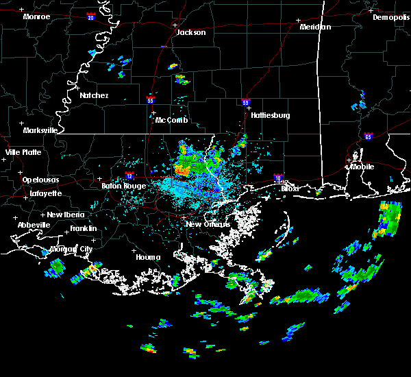
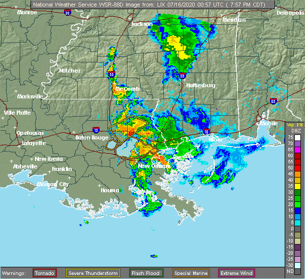
| 7/15/2020 7:58 PM CDT |
 At 757 pm cdt, severe thunderstorms were located along a line extending from near covington to near madisonville, moving southwest at 20 mph (radar indicated). Hazards include 60 mph wind gusts. Expect damage to roofs, siding, and trees. Locations impacted include, covington, madisonville, folsom and robert. At 757 pm cdt, severe thunderstorms were located along a line extending from near covington to near madisonville, moving southwest at 20 mph (radar indicated). Hazards include 60 mph wind gusts. Expect damage to roofs, siding, and trees. Locations impacted include, covington, madisonville, folsom and robert.
|
| 7/15/2020 7:30 PM CDT |
 At 729 pm cdt, a severe thunderstorm was located near folsom, or 8 miles north of covington, moving southwest at 20 mph (radar indicated). Hazards include 60 mph wind gusts. expect damage to roofs, siding, and trees At 729 pm cdt, a severe thunderstorm was located near folsom, or 8 miles north of covington, moving southwest at 20 mph (radar indicated). Hazards include 60 mph wind gusts. expect damage to roofs, siding, and trees
|
| 5/14/2020 7:14 PM CDT |
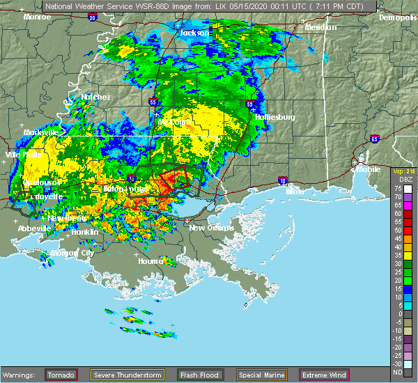 At 712 pm cdt, a severe thunderstorm capable of producing a tornado was located 5 miles northwest of madisonville, moving northwest at 10 mph. a funnel cloud was reported by an off duty national weather service employee along interstate 12 at louisiana highway 1077 around 705 pm (radar indicated rotation). Hazards include tornado. Flying debris will be dangerous to those caught without shelter. mobile homes will be damaged or destroyed. damage to roofs, windows, and vehicles will occur. tree damage is likely. This dangerous storm will be near, robert around 745 pm cdt. At 712 pm cdt, a severe thunderstorm capable of producing a tornado was located 5 miles northwest of madisonville, moving northwest at 10 mph. a funnel cloud was reported by an off duty national weather service employee along interstate 12 at louisiana highway 1077 around 705 pm (radar indicated rotation). Hazards include tornado. Flying debris will be dangerous to those caught without shelter. mobile homes will be damaged or destroyed. damage to roofs, windows, and vehicles will occur. tree damage is likely. This dangerous storm will be near, robert around 745 pm cdt.
|
| 5/14/2020 7:01 PM CDT |
 At 701 pm cdt, a severe thunderstorm capable of producing a tornado was located near madisonville, moving northwest at 10 mph (radar indicated rotation). Hazards include tornado. Flying debris will be dangerous to those caught without shelter. mobile homes will be damaged or destroyed. damage to roofs, windows, and vehicles will occur. tree damage is likely. This dangerous storm will be near, robert around 730 pm cdt. At 701 pm cdt, a severe thunderstorm capable of producing a tornado was located near madisonville, moving northwest at 10 mph (radar indicated rotation). Hazards include tornado. Flying debris will be dangerous to those caught without shelter. mobile homes will be damaged or destroyed. damage to roofs, windows, and vehicles will occur. tree damage is likely. This dangerous storm will be near, robert around 730 pm cdt.
|
| 5/14/2020 6:48 PM CDT |
 At 647 pm cdt, a severe thunderstorm capable of producing a tornado was located over madisonville, moving northwest at 10 mph (radar indicated rotation). Hazards include tornado. Flying debris will be dangerous to those caught without shelter. mobile homes will be damaged or destroyed. damage to roofs, windows, and vehicles will occur. Tree damage is likely. At 647 pm cdt, a severe thunderstorm capable of producing a tornado was located over madisonville, moving northwest at 10 mph (radar indicated rotation). Hazards include tornado. Flying debris will be dangerous to those caught without shelter. mobile homes will be damaged or destroyed. damage to roofs, windows, and vehicles will occur. Tree damage is likely.
|
| 5/14/2020 6:33 PM CDT |
 At 633 pm cdt, a severe thunderstorm capable of producing a tornado was located over madisonville, or 7 miles south of covington, moving northwest at 10 mph (radar indicated rotation). Hazards include tornado. Flying debris will be dangerous to those caught without shelter. mobile homes will be damaged or destroyed. damage to roofs, windows, and vehicles will occur. tree damage is likely. this dangerous storm will be near, madisonville around 650 pm cdt. Covington around 700 pm cdt. At 633 pm cdt, a severe thunderstorm capable of producing a tornado was located over madisonville, or 7 miles south of covington, moving northwest at 10 mph (radar indicated rotation). Hazards include tornado. Flying debris will be dangerous to those caught without shelter. mobile homes will be damaged or destroyed. damage to roofs, windows, and vehicles will occur. tree damage is likely. this dangerous storm will be near, madisonville around 650 pm cdt. Covington around 700 pm cdt.
|
| 5/14/2020 5:45 PM CDT |
 At 544 pm cdt, a severe thunderstorm capable of producing a tornado was located near mandeville, or just south of covington, moving north at 20 mph (radar indicated rotation). Hazards include tornado. Flying debris will be dangerous to those caught without shelter. mobile homes will be damaged or destroyed. damage to roofs, windows, and vehicles will occur. tree damage is likely. this dangerous storm will be near, madisonville around 555 pm cdt. abita springs around 605 pm cdt. Covington around 610 pm cdt. At 544 pm cdt, a severe thunderstorm capable of producing a tornado was located near mandeville, or just south of covington, moving north at 20 mph (radar indicated rotation). Hazards include tornado. Flying debris will be dangerous to those caught without shelter. mobile homes will be damaged or destroyed. damage to roofs, windows, and vehicles will occur. tree damage is likely. this dangerous storm will be near, madisonville around 555 pm cdt. abita springs around 605 pm cdt. Covington around 610 pm cdt.
|
| 4/23/2020 3:49 AM CDT |
 At 349 am cdt, a severe thunderstorm was located near livingston, or 13 miles west of hammond, moving east at 55 mph (radar indicated). Hazards include ping pong ball size hail and 60 mph wind gusts. People and animals outdoors will be injured. expect hail damage to roofs, siding, windows, and vehicles. Expect wind damage to roofs, siding, and trees. At 349 am cdt, a severe thunderstorm was located near livingston, or 13 miles west of hammond, moving east at 55 mph (radar indicated). Hazards include ping pong ball size hail and 60 mph wind gusts. People and animals outdoors will be injured. expect hail damage to roofs, siding, windows, and vehicles. Expect wind damage to roofs, siding, and trees.
|
| 4/19/2020 9:57 PM CDT |
 At 940 pm cdt, a severe thunderstorm was located near springfield, or 9 miles south of hammond, moving east at 40 mph (radar indicated). Hazards include 60 mph wind gusts and quarter size hail. Hail damage to vehicles is expected. Expect wind damage to roofs, siding, and trees. At 940 pm cdt, a severe thunderstorm was located near springfield, or 9 miles south of hammond, moving east at 40 mph (radar indicated). Hazards include 60 mph wind gusts and quarter size hail. Hail damage to vehicles is expected. Expect wind damage to roofs, siding, and trees.
|
| 4/19/2020 9:41 PM CDT |
 At 940 pm cdt, a severe thunderstorm was located near springfield, or 9 miles south of hammond, moving east at 40 mph (radar indicated). Hazards include 60 mph wind gusts and quarter size hail. Hail damage to vehicles is expected. Expect wind damage to roofs, siding, and trees. At 940 pm cdt, a severe thunderstorm was located near springfield, or 9 miles south of hammond, moving east at 40 mph (radar indicated). Hazards include 60 mph wind gusts and quarter size hail. Hail damage to vehicles is expected. Expect wind damage to roofs, siding, and trees.
|
| 1/11/2020 9:25 AM CST | Weatherflow gauge on lake pontchartrain causeway measured a 71 mph wind gus in gmz530 county LA, 8.9 miles NNE of Madisonville, LA |
| 8/26/2019 9:57 AM CDT |
 At 956 am cdt, a severe thunderstorm was located near madisonville, or 7 miles west of covington, moving east at 30 mph (radar indicated). Hazards include 60 mph wind gusts. expect damage to roofs, siding, and trees At 956 am cdt, a severe thunderstorm was located near madisonville, or 7 miles west of covington, moving east at 30 mph (radar indicated). Hazards include 60 mph wind gusts. expect damage to roofs, siding, and trees
|
| 7/8/2019 3:07 PM CDT |
 At 307 pm cdt, a severe thunderstorm was located near abita springs, or 8 miles southeast of covington, moving west at 5 mph (radar indicated). Hazards include 60 mph wind gusts and quarter size hail. Hail damage to vehicles is expected. Expect wind damage to roofs, siding, and trees. At 307 pm cdt, a severe thunderstorm was located near abita springs, or 8 miles southeast of covington, moving west at 5 mph (radar indicated). Hazards include 60 mph wind gusts and quarter size hail. Hail damage to vehicles is expected. Expect wind damage to roofs, siding, and trees.
|
| 6/6/2019 12:05 PM CDT |
 At 1205 pm cdt, a severe thunderstorm capable of producing a tornado was located over covington, moving northeast at 25 mph (radar indicated rotation). Hazards include tornado. Flying debris will be dangerous to those caught without shelter. mobile homes will be damaged or destroyed. damage to roofs, windows, and vehicles will occur. tree damage is likely. this tornadic thunderstorm will remain over mainly rural areas of west central st. Tammany parish. At 1205 pm cdt, a severe thunderstorm capable of producing a tornado was located over covington, moving northeast at 25 mph (radar indicated rotation). Hazards include tornado. Flying debris will be dangerous to those caught without shelter. mobile homes will be damaged or destroyed. damage to roofs, windows, and vehicles will occur. tree damage is likely. this tornadic thunderstorm will remain over mainly rural areas of west central st. Tammany parish.
|
| 6/6/2019 11:53 AM CDT |
 At 1152 am cdt, a confirmed tornado was located over madisonville, or near covington, moving northeast at 25 mph (radar confirmed tornado). Hazards include damaging tornado. Flying debris will be dangerous to those caught without shelter. mobile homes will be damaged or destroyed. damage to roofs, windows, and vehicles will occur. tree damage is likely. This tornado will be near, covington around 1210 pm cdt. At 1152 am cdt, a confirmed tornado was located over madisonville, or near covington, moving northeast at 25 mph (radar confirmed tornado). Hazards include damaging tornado. Flying debris will be dangerous to those caught without shelter. mobile homes will be damaged or destroyed. damage to roofs, windows, and vehicles will occur. tree damage is likely. This tornado will be near, covington around 1210 pm cdt.
|
| 6/6/2019 11:48 AM CDT |
 At 1147 am cdt, a confirmed tornado was located near madisonville, or 9 miles southwest of covington, moving northeast at 25 mph (radar confirmed tornado). Hazards include damaging tornado. Flying debris will be dangerous to those caught without shelter. mobile homes will be damaged or destroyed. damage to roofs, windows, and vehicles will occur. tree damage is likely. this tornado will be near, covington around 1210 pm cdt. Abita springs around 1215 pm cdt. At 1147 am cdt, a confirmed tornado was located near madisonville, or 9 miles southwest of covington, moving northeast at 25 mph (radar confirmed tornado). Hazards include damaging tornado. Flying debris will be dangerous to those caught without shelter. mobile homes will be damaged or destroyed. damage to roofs, windows, and vehicles will occur. tree damage is likely. this tornado will be near, covington around 1210 pm cdt. Abita springs around 1215 pm cdt.
|
| 6/6/2019 11:46 AM CDT |
 At 1146 am cdt, a severe thunderstorm capable of producing a tornado was located near madisonville, or 9 miles southwest of covington, moving northeast at 25 mph (radar indicated rotation). Hazards include tornado. Flying debris will be dangerous to those caught without shelter. mobile homes will be damaged or destroyed. damage to roofs, windows, and vehicles will occur. tree damage is likely. this dangerous storm will be near, madisonville around 1155 am cdt. covington around 1210 pm cdt. Abita springs around 1215 pm cdt. At 1146 am cdt, a severe thunderstorm capable of producing a tornado was located near madisonville, or 9 miles southwest of covington, moving northeast at 25 mph (radar indicated rotation). Hazards include tornado. Flying debris will be dangerous to those caught without shelter. mobile homes will be damaged or destroyed. damage to roofs, windows, and vehicles will occur. tree damage is likely. this dangerous storm will be near, madisonville around 1155 am cdt. covington around 1210 pm cdt. Abita springs around 1215 pm cdt.
|
| 6/6/2019 11:21 AM CDT |
 The severe thunderstorm warning for northeastern st. john the baptist, northwestern st. tammany and southeastern tangipahoa parishes will expire at 1130 am cdt, the storm which prompted the warning has weakened below severe limits, and no longer poses an immediate threat to life or property. therefore, the warning will be allowed to expire. a tornado watch remains in effect until 500 pm cdt for southeastern louisiana. The severe thunderstorm warning for northeastern st. john the baptist, northwestern st. tammany and southeastern tangipahoa parishes will expire at 1130 am cdt, the storm which prompted the warning has weakened below severe limits, and no longer poses an immediate threat to life or property. therefore, the warning will be allowed to expire. a tornado watch remains in effect until 500 pm cdt for southeastern louisiana.
|
| 6/6/2019 11:14 AM CDT |
 At 1113 am cdt, a severe thunderstorm was located near folsom, or 11 miles northeast of hammond, moving northeast at 30 mph (radar indicated). Hazards include 60 mph wind gusts. Expect damage to roofs, siding, and trees. Locations impacted include, hammond, covington, reserve, laplace, ponchatoula, madisonville, folsom and robert. At 1113 am cdt, a severe thunderstorm was located near folsom, or 11 miles northeast of hammond, moving northeast at 30 mph (radar indicated). Hazards include 60 mph wind gusts. Expect damage to roofs, siding, and trees. Locations impacted include, hammond, covington, reserve, laplace, ponchatoula, madisonville, folsom and robert.
|
| 6/6/2019 10:40 AM CDT |
 At 1039 am cdt, a severe thunderstorm was located over springfield, or near hammond, moving northeast at 30 mph (radar indicated). Hazards include 60 mph wind gusts. expect damage to roofs, siding, and trees At 1039 am cdt, a severe thunderstorm was located over springfield, or near hammond, moving northeast at 30 mph (radar indicated). Hazards include 60 mph wind gusts. expect damage to roofs, siding, and trees
|
| 11/1/2018 4:25 AM CDT |
 At 425 am cdt, severe thunderstorms were located along a line extending from near folsom to covington to near madisonville, moving east at 40 mph (radar indicated). Hazards include 60 mph wind gusts. expect damage to roofs, siding, and trees At 425 am cdt, severe thunderstorms were located along a line extending from near folsom to covington to near madisonville, moving east at 40 mph (radar indicated). Hazards include 60 mph wind gusts. expect damage to roofs, siding, and trees
|
| 11/1/2018 4:15 AM CDT |
 At 415 am cdt, severe thunderstorms were located along a line extending from near robert to 7 miles west of madisonville to 8 miles southeast of ponchatoula, moving east at 40 mph (radar indicated). Hazards include 70 mph wind gusts. Expect considerable tree damage. damage is likely to mobile homes, roofs, and outbuildings. locations impacted include, hammond, covington, ponchatoula, abita springs, madisonville, springfield, natalbany, robert, killian and tickfaw. A tornado watch remains in effect until 700 am cdt for southeastern louisiana. At 415 am cdt, severe thunderstorms were located along a line extending from near robert to 7 miles west of madisonville to 8 miles southeast of ponchatoula, moving east at 40 mph (radar indicated). Hazards include 70 mph wind gusts. Expect considerable tree damage. damage is likely to mobile homes, roofs, and outbuildings. locations impacted include, hammond, covington, ponchatoula, abita springs, madisonville, springfield, natalbany, robert, killian and tickfaw. A tornado watch remains in effect until 700 am cdt for southeastern louisiana.
|
| 11/1/2018 3:55 AM CDT |
 At 355 am cdt, severe thunderstorms were located along a line extending from hammond to near springfield to 8 miles northeast of whitehall, moving east at 40 mph (radar indicated). Hazards include 70 mph wind gusts. Expect considerable tree damage. Damage is likely to mobile homes, roofs, and outbuildings. At 355 am cdt, severe thunderstorms were located along a line extending from hammond to near springfield to 8 miles northeast of whitehall, moving east at 40 mph (radar indicated). Hazards include 70 mph wind gusts. Expect considerable tree damage. Damage is likely to mobile homes, roofs, and outbuildings.
|
| 6/29/2018 5:02 PM CDT |
 At 502 pm cdt, a severe thunderstorm was located near abita springs, or near covington, and is nearly stationary (radar indicated). Hazards include 60 mph wind gusts. expect damage to roofs, siding, and trees At 502 pm cdt, a severe thunderstorm was located near abita springs, or near covington, and is nearly stationary (radar indicated). Hazards include 60 mph wind gusts. expect damage to roofs, siding, and trees
|
| 4/14/2018 9:30 AM CDT |
 At 930 am cdt, severe thunderstorms were located along a line extending from near kokomo to near enon to 7 miles southeast of ponchatoula, moving east at 25 mph (radar indicated). Hazards include 60 mph wind gusts. expect damage to roofs, siding, and trees At 930 am cdt, severe thunderstorms were located along a line extending from near kokomo to near enon to 7 miles southeast of ponchatoula, moving east at 25 mph (radar indicated). Hazards include 60 mph wind gusts. expect damage to roofs, siding, and trees
|
| 4/14/2018 9:00 AM CDT |
 At 900 am cdt, severe thunderstorms were located along a line extending from near natalbany to near lutcher to near napoleonville, moving east at 45 mph (radar indicated). Hazards include 60 mph wind gusts. expect damage to roofs, siding, and trees At 900 am cdt, severe thunderstorms were located along a line extending from near natalbany to near lutcher to near napoleonville, moving east at 45 mph (radar indicated). Hazards include 60 mph wind gusts. expect damage to roofs, siding, and trees
|
| 3/11/2018 11:26 AM CDT |
 The severe thunderstorm warning for west central st. tammany parish will expire at 1130 am cdt, the storm which prompted the warning has weakened below severe limits, and no longer poses an immediate threat to life or property. therefore the warning will be allowed to expire. The severe thunderstorm warning for west central st. tammany parish will expire at 1130 am cdt, the storm which prompted the warning has weakened below severe limits, and no longer poses an immediate threat to life or property. therefore the warning will be allowed to expire.
|
| 3/11/2018 11:12 AM CDT | Quarter sized hail reported 0.4 miles SSW of Madisonville, LA |
| 3/11/2018 10:59 AM CDT |
 At 1059 am cdt, a severe thunderstorm was located near madisonville, or near covington, moving east at 30 mph (radar indicated). Hazards include 60 mph wind gusts and quarter size hail. Hail damage to vehicles is expected. Expect wind damage to roofs, siding, and trees. At 1059 am cdt, a severe thunderstorm was located near madisonville, or near covington, moving east at 30 mph (radar indicated). Hazards include 60 mph wind gusts and quarter size hail. Hail damage to vehicles is expected. Expect wind damage to roofs, siding, and trees.
|
| 5/12/2017 5:10 PM CDT |
 At 450 pm cdt, a confirmed tornado was located over madisonville, or 7 miles south of covington, moving east at 20 mph (law enforcement confirmed tornado). Hazards include damaging tornado and quarter size hail. Flying debris will be dangerous to those caught without shelter. mobile homes will be damaged or destroyed. damage to roofs, windows, and vehicles will occur. tree damage is likely. this tornadic thunderstorm will remain over mainly rural areas of southwestern st. Tammany parish. At 450 pm cdt, a confirmed tornado was located over madisonville, or 7 miles south of covington, moving east at 20 mph (law enforcement confirmed tornado). Hazards include damaging tornado and quarter size hail. Flying debris will be dangerous to those caught without shelter. mobile homes will be damaged or destroyed. damage to roofs, windows, and vehicles will occur. tree damage is likely. this tornadic thunderstorm will remain over mainly rural areas of southwestern st. Tammany parish.
|
| 5/12/2017 4:51 PM CDT |
 At 450 pm cdt, a confirmed tornado was located over madisonville, or 7 miles south of covington, moving east at 20 mph (law enforcement confirmed tornado). Hazards include damaging tornado and quarter size hail. Flying debris will be dangerous to those caught without shelter. mobile homes will be damaged or destroyed. damage to roofs, windows, and vehicles will occur. tree damage is likely. this tornadic thunderstorm will remain over mainly rural areas of southwestern st. Tammany parish. At 450 pm cdt, a confirmed tornado was located over madisonville, or 7 miles south of covington, moving east at 20 mph (law enforcement confirmed tornado). Hazards include damaging tornado and quarter size hail. Flying debris will be dangerous to those caught without shelter. mobile homes will be damaged or destroyed. damage to roofs, windows, and vehicles will occur. tree damage is likely. this tornadic thunderstorm will remain over mainly rural areas of southwestern st. Tammany parish.
|
| 5/12/2017 4:37 PM CDT |
 At 437 pm cdt, a severe thunderstorm was located near madisonville, or near covington, moving east at 25 mph (radar indicated). Hazards include 60 mph wind gusts and quarter size hail. Hail damage to vehicles is expected. Expect wind damage to roofs, siding, and trees. At 437 pm cdt, a severe thunderstorm was located near madisonville, or near covington, moving east at 25 mph (radar indicated). Hazards include 60 mph wind gusts and quarter size hail. Hail damage to vehicles is expected. Expect wind damage to roofs, siding, and trees.
|
| 4/30/2017 10:40 AM CDT |
 At 1039 am cdt, a severe thunderstorm capable of producing a tornado was located near i-12 near covington, moving northeast at 30 mph (radar indicated rotation). Hazards include tornado. Flying debris will be dangerous to those caught without shelter. mobile homes will be damaged or destroyed. damage to roofs, windows, and vehicles will occur. tree damage is likely. this dangerous storm will be near, covington around 1050 am cdt. Abita springs around 1100 am cdt. At 1039 am cdt, a severe thunderstorm capable of producing a tornado was located near i-12 near covington, moving northeast at 30 mph (radar indicated rotation). Hazards include tornado. Flying debris will be dangerous to those caught without shelter. mobile homes will be damaged or destroyed. damage to roofs, windows, and vehicles will occur. tree damage is likely. this dangerous storm will be near, covington around 1050 am cdt. Abita springs around 1100 am cdt.
|
| 4/30/2017 10:31 AM CDT |
 At 1031 am cdt, a severe thunderstorm capable of producing a tornado was located near madisonville, or 10 miles southwest of covington, moving northeast at 30 mph (radar indicated rotation). Hazards include tornado. Flying debris will be dangerous to those caught without shelter. mobile homes will be damaged or destroyed. damage to roofs, windows, and vehicles will occur. tree damage is likely. this dangerous storm will be near, madisonville around 1045 am cdt. covington around 1055 am cdt. Abita springs around 1100 am cdt. At 1031 am cdt, a severe thunderstorm capable of producing a tornado was located near madisonville, or 10 miles southwest of covington, moving northeast at 30 mph (radar indicated rotation). Hazards include tornado. Flying debris will be dangerous to those caught without shelter. mobile homes will be damaged or destroyed. damage to roofs, windows, and vehicles will occur. tree damage is likely. this dangerous storm will be near, madisonville around 1045 am cdt. covington around 1055 am cdt. Abita springs around 1100 am cdt.
|
| 4/3/2017 4:25 AM CDT |
 At 424 am cdt, severe thunderstorms were located along a line extending from 7 miles south of baxterville to near madisonville, moving east at 30 mph (radar indicated). Hazards include 60 mph wind gusts. expect damage to roofs, siding, and trees At 424 am cdt, severe thunderstorms were located along a line extending from 7 miles south of baxterville to near madisonville, moving east at 30 mph (radar indicated). Hazards include 60 mph wind gusts. expect damage to roofs, siding, and trees
|
| 4/3/2017 4:07 AM CDT |
 At 407 am cdt, a severe thunderstorm capable of producing a tornado was located over madisonville, or near covington, moving east at 40 mph (radar indicated rotation). Hazards include tornado. Flying debris will be dangerous to those caught without shelter. mobile homes will be damaged or destroyed. damage to roofs, windows, and vehicles will occur. tree damage is likely. this dangerous storm will be near, covington around 410 am cdt. Abita springs around 415 am cdt. At 407 am cdt, a severe thunderstorm capable of producing a tornado was located over madisonville, or near covington, moving east at 40 mph (radar indicated rotation). Hazards include tornado. Flying debris will be dangerous to those caught without shelter. mobile homes will be damaged or destroyed. damage to roofs, windows, and vehicles will occur. tree damage is likely. this dangerous storm will be near, covington around 410 am cdt. Abita springs around 415 am cdt.
|
| 4/3/2017 4:02 AM CDT |
 At 401 am cdt, severe thunderstorms were located along a line extending from near sandy hook to near covington, moving southeast at 30 mph (radar indicated). Hazards include 60 mph wind gusts. Expect damage to roofs, siding, and trees. locations impacted include, slidell, bogalusa, picayune, covington, poplarville, pearl river, abita springs, varnado, madisonville, sun, lacombe, crossroads, bush, mcneil, angie and slidell airport. A tornado watch remains in effect until 900 am cdt for southeastern louisiana, and southern mississippi. At 401 am cdt, severe thunderstorms were located along a line extending from near sandy hook to near covington, moving southeast at 30 mph (radar indicated). Hazards include 60 mph wind gusts. Expect damage to roofs, siding, and trees. locations impacted include, slidell, bogalusa, picayune, covington, poplarville, pearl river, abita springs, varnado, madisonville, sun, lacombe, crossroads, bush, mcneil, angie and slidell airport. A tornado watch remains in effect until 900 am cdt for southeastern louisiana, and southern mississippi.
|
| 4/3/2017 3:40 AM CDT |
 At 339 am cdt, severe thunderstorms were located along a line extending from near pickwick to near robert, moving east at 30 mph (radar indicated). Hazards include 60 mph wind gusts. expect damage to roofs, siding, and trees At 339 am cdt, severe thunderstorms were located along a line extending from near pickwick to near robert, moving east at 30 mph (radar indicated). Hazards include 60 mph wind gusts. expect damage to roofs, siding, and trees
|
| 3/25/2017 12:41 PM CDT |
 At 1240 pm cdt, a severe thunderstorm was located near robert, or 7 miles west of covington, moving northeast at 25 mph (radar indicated). Hazards include 60 mph wind gusts and quarter size hail. Hail damage to vehicles is expected. Expect wind damage to roofs, siding, and trees. At 1240 pm cdt, a severe thunderstorm was located near robert, or 7 miles west of covington, moving northeast at 25 mph (radar indicated). Hazards include 60 mph wind gusts and quarter size hail. Hail damage to vehicles is expected. Expect wind damage to roofs, siding, and trees.
|
| 2/7/2017 11:08 AM CST |
 At 1107 am cst, a confirmed large and destructive tornado was located near madisonville, or near covington, moving east at 35 mph. tornado emergency for madisonville, covington, and abita springs. this is a particularly dangerous situation. take cover now! (emergency management confirmed tornado). Hazards include deadly tornado. You are in a life-threatening situation. flying debris may be deadly to those caught without shelter. mobile homes will be destroyed. considerable damage to homes, businesses, and vehicles is likely and complete destruction is possible. The tornado will be near, abita springs and lacombe around 1120 am cst. At 1107 am cst, a confirmed large and destructive tornado was located near madisonville, or near covington, moving east at 35 mph. tornado emergency for madisonville, covington, and abita springs. this is a particularly dangerous situation. take cover now! (emergency management confirmed tornado). Hazards include deadly tornado. You are in a life-threatening situation. flying debris may be deadly to those caught without shelter. mobile homes will be destroyed. considerable damage to homes, businesses, and vehicles is likely and complete destruction is possible. The tornado will be near, abita springs and lacombe around 1120 am cst.
|
| 2/7/2017 10:55 AM CST |
 Tornado emergency for madisonville, covington, and abita springs, the national weather service in new orleans has issued a * tornado warning for, southeastern tangipahoa parish in southeastern louisiana, northwestern st. tammany parish in southeastern louisiana, * until 1130 am cst * at 1054 am cst, a confirmed large and destructive tornado was observed near madisonville, or 10 miles southwest of covington, moving east at 35 mph. tornado emergency for madisonville, covington, and abita springs. this is a particularly dangerous situation. take cover now! (emergency management confirmed tornado). Hazards include deadly tornado. You are in a life-threatening situation. flying debris may be deadly to those caught without shelter. mobile homes will be destroyed. considerable damage to homes, businesses, and vehicles is likely and complete destruction is possible. the tornado will be near, madisonville around 1105 am cst. covington around 1110 am cst. Abita springs and lacombe around 1120 am cst. Tornado emergency for madisonville, covington, and abita springs, the national weather service in new orleans has issued a * tornado warning for, southeastern tangipahoa parish in southeastern louisiana, northwestern st. tammany parish in southeastern louisiana, * until 1130 am cst * at 1054 am cst, a confirmed large and destructive tornado was observed near madisonville, or 10 miles southwest of covington, moving east at 35 mph. tornado emergency for madisonville, covington, and abita springs. this is a particularly dangerous situation. take cover now! (emergency management confirmed tornado). Hazards include deadly tornado. You are in a life-threatening situation. flying debris may be deadly to those caught without shelter. mobile homes will be destroyed. considerable damage to homes, businesses, and vehicles is likely and complete destruction is possible. the tornado will be near, madisonville around 1105 am cst. covington around 1110 am cst. Abita springs and lacombe around 1120 am cst.
|
| 2/7/2017 10:49 AM CST |
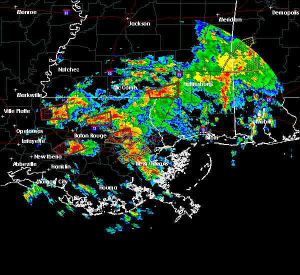 At 1048 am cst, a confirmed large and extremely dangerous tornado was located 8 miles west of madisonville, or 13 miles southeast of hammond, moving east at 35 mph. this is a particularly dangerous situation. take cover now! (emergency management confirmed tornado). Hazards include damaging tornado. You are in a life-threatening situation. flying debris may be deadly to those caught without shelter. mobile homes will be destroyed. considerable damage to homes, businesses, and vehicles is likely and complete destruction is possible. Locations impacted include, madisonville and w lk pontchartrain buoy. At 1048 am cst, a confirmed large and extremely dangerous tornado was located 8 miles west of madisonville, or 13 miles southeast of hammond, moving east at 35 mph. this is a particularly dangerous situation. take cover now! (emergency management confirmed tornado). Hazards include damaging tornado. You are in a life-threatening situation. flying debris may be deadly to those caught without shelter. mobile homes will be destroyed. considerable damage to homes, businesses, and vehicles is likely and complete destruction is possible. Locations impacted include, madisonville and w lk pontchartrain buoy.
|
| 2/7/2017 10:32 AM CST |
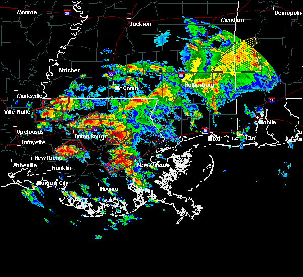 At 1032 am cst, a confirmed large and extremely dangerous tornado was located 8 miles southeast of springfield, or 12 miles south of hammond, moving east at 30 mph. this is a particularly dangerous situation. take cover now! (radar confirmed tornado). Hazards include damaging tornado. You are in a life-threatening situation. flying debris may be deadly to those caught without shelter. mobile homes will be destroyed. Considerable damage to homes, businesses, and vehicles is likely and complete destruction is possible. At 1032 am cst, a confirmed large and extremely dangerous tornado was located 8 miles southeast of springfield, or 12 miles south of hammond, moving east at 30 mph. this is a particularly dangerous situation. take cover now! (radar confirmed tornado). Hazards include damaging tornado. You are in a life-threatening situation. flying debris may be deadly to those caught without shelter. mobile homes will be destroyed. Considerable damage to homes, businesses, and vehicles is likely and complete destruction is possible.
|
| 1/2/2017 3:22 PM CST |
 The severe thunderstorm warning for northeastern orleans, eastern washington, st. tammany, southeastern tangipahoa and northeastern st. john the baptist parishes, southeastern walthall, pearl river and central hancock counties will expire at 330 pm cst, the storms which prompted the warning have weakened below severe limits, and have exited the warned area. therefore the warning will be allowed to expire. a tornado watch remains in effect until 800 pm cst for southeastern louisiana, and southern and southeastern mississippi. The severe thunderstorm warning for northeastern orleans, eastern washington, st. tammany, southeastern tangipahoa and northeastern st. john the baptist parishes, southeastern walthall, pearl river and central hancock counties will expire at 330 pm cst, the storms which prompted the warning have weakened below severe limits, and have exited the warned area. therefore the warning will be allowed to expire. a tornado watch remains in effect until 800 pm cst for southeastern louisiana, and southern and southeastern mississippi.
|
| 1/2/2017 2:40 PM CST |
 The severe thunderstorm warning for washington, st. tammany, tangipahoa, livingston, northern st. john the baptist, southeastern st. helena and central ascension parishes, walthall and eastern pike counties will expire at 245 pm cst, the storms which prompted the warning have moved out of the area. therefore the warning will be allowed to expire. a tornado watch remains in effect until 800 pm cst for southeastern louisiana, and southern mississippi. remember, a severe thunderstorm warning still remains in effect for this line of storms to the east of your location. The severe thunderstorm warning for washington, st. tammany, tangipahoa, livingston, northern st. john the baptist, southeastern st. helena and central ascension parishes, walthall and eastern pike counties will expire at 245 pm cst, the storms which prompted the warning have moved out of the area. therefore the warning will be allowed to expire. a tornado watch remains in effect until 800 pm cst for southeastern louisiana, and southern mississippi. remember, a severe thunderstorm warning still remains in effect for this line of storms to the east of your location.
|
| 1/2/2017 2:40 PM CST |
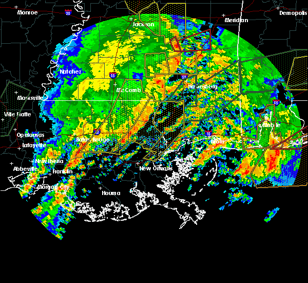 The severe thunderstorm warning for washington, st. tammany, tangipahoa, livingston, northern st. john the baptist, southeastern st. helena and central ascension parishes, walthall and eastern pike counties will expire at 245 pm cst, the storms which prompted the warning have moved out of the area. therefore the warning will be allowed to expire. a tornado watch remains in effect until 800 pm cst for southeastern louisiana, and southern mississippi. remember, a severe thunderstorm warning still remains in effect for this line of storms to the east of your location. The severe thunderstorm warning for washington, st. tammany, tangipahoa, livingston, northern st. john the baptist, southeastern st. helena and central ascension parishes, walthall and eastern pike counties will expire at 245 pm cst, the storms which prompted the warning have moved out of the area. therefore the warning will be allowed to expire. a tornado watch remains in effect until 800 pm cst for southeastern louisiana, and southern mississippi. remember, a severe thunderstorm warning still remains in effect for this line of storms to the east of your location.
|
| 1/2/2017 2:35 PM CST |
 At 235 pm cst, severe thunderstorms were located along a line extending from sandy hook to 6 miles west of bush to 14 miles southwest of madisonville, moving east at 30 mph (radar indicated). Hazards include 60 mph wind gusts. expect damage to roofs, siding, and trees At 235 pm cst, severe thunderstorms were located along a line extending from sandy hook to 6 miles west of bush to 14 miles southwest of madisonville, moving east at 30 mph (radar indicated). Hazards include 60 mph wind gusts. expect damage to roofs, siding, and trees
|
| 1/2/2017 2:35 PM CST |
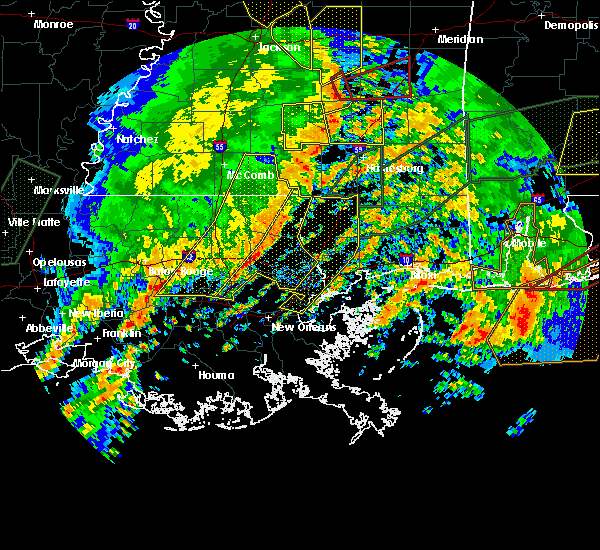 At 235 pm cst, severe thunderstorms were located along a line extending from sandy hook to 6 miles west of bush to 14 miles southwest of madisonville, moving east at 30 mph (radar indicated). Hazards include 60 mph wind gusts. expect damage to roofs, siding, and trees At 235 pm cst, severe thunderstorms were located along a line extending from sandy hook to 6 miles west of bush to 14 miles southwest of madisonville, moving east at 30 mph (radar indicated). Hazards include 60 mph wind gusts. expect damage to roofs, siding, and trees
|
| 1/2/2017 2:26 PM CST |
 At 226 pm cst, severe thunderstorms were located along a line extending from near improve to 7 miles west of bogalusa to 11 miles north of laplace, moving east at 55 mph (radar indicated). Hazards include 60 mph wind gusts. Expect damage to roofs, siding, and trees. locations impacted include, slidell, hammond, bogalusa, gonzales, covington, franklinton, amite, ponchatoula, amite city, pearl river, abita springs, livingston, independence, tylertown, varnado, sorrento, roseland, french settlement, albany and madisonville. A tornado watch remains in effect until 800 pm cst for southeastern louisiana, and southern mississippi. At 226 pm cst, severe thunderstorms were located along a line extending from near improve to 7 miles west of bogalusa to 11 miles north of laplace, moving east at 55 mph (radar indicated). Hazards include 60 mph wind gusts. Expect damage to roofs, siding, and trees. locations impacted include, slidell, hammond, bogalusa, gonzales, covington, franklinton, amite, ponchatoula, amite city, pearl river, abita springs, livingston, independence, tylertown, varnado, sorrento, roseland, french settlement, albany and madisonville. A tornado watch remains in effect until 800 pm cst for southeastern louisiana, and southern mississippi.
|
| 1/2/2017 1:52 PM CST |
 At 152 pm cst, severe thunderstorms were located along a line extending from jayess to near roseland to gonzales, moving east at 55 mph (radar indicated). Hazards include 60 mph wind gusts. expect damage to roofs, siding, and trees At 152 pm cst, severe thunderstorms were located along a line extending from jayess to near roseland to gonzales, moving east at 55 mph (radar indicated). Hazards include 60 mph wind gusts. expect damage to roofs, siding, and trees
|
| 1/2/2017 1:52 PM CST |
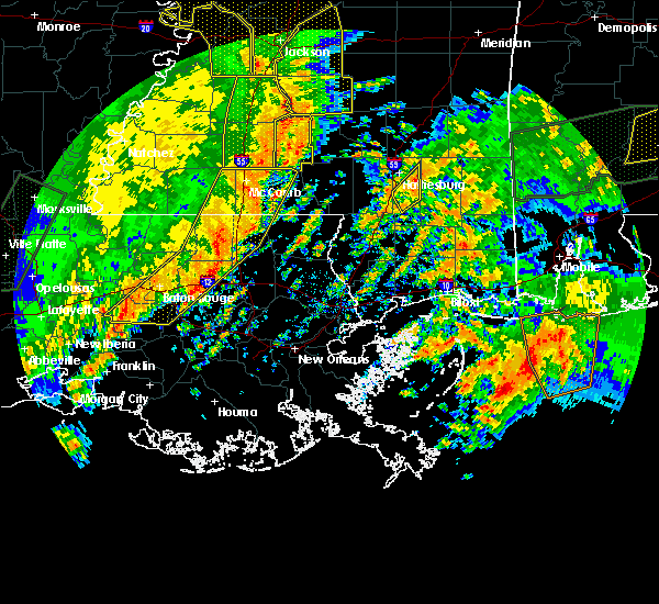 At 152 pm cst, severe thunderstorms were located along a line extending from jayess to near roseland to gonzales, moving east at 55 mph (radar indicated). Hazards include 60 mph wind gusts. expect damage to roofs, siding, and trees At 152 pm cst, severe thunderstorms were located along a line extending from jayess to near roseland to gonzales, moving east at 55 mph (radar indicated). Hazards include 60 mph wind gusts. expect damage to roofs, siding, and trees
|
| 1/2/2017 10:58 AM CST |
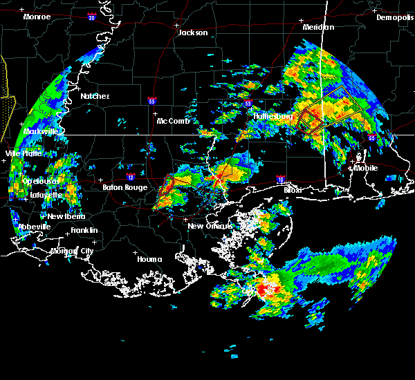 At 1057 am cst, a severe thunderstorm capable of producing a tornado was located 8 miles southwest of madisonville, or 14 miles southwest of covington, moving northeast at 25 mph (radar indicated rotation). Hazards include tornado. Flying debris will be dangerous to those caught without shelter. mobile homes will be damaged or destroyed. damage to roofs, windows, and vehicles will occur. tree damage is likely. this tornadic thunderstorm will remain over mainly rural areas of west central st. Tammany and southeastern tangipahoa parishes. At 1057 am cst, a severe thunderstorm capable of producing a tornado was located 8 miles southwest of madisonville, or 14 miles southwest of covington, moving northeast at 25 mph (radar indicated rotation). Hazards include tornado. Flying debris will be dangerous to those caught without shelter. mobile homes will be damaged or destroyed. damage to roofs, windows, and vehicles will occur. tree damage is likely. this tornadic thunderstorm will remain over mainly rural areas of west central st. Tammany and southeastern tangipahoa parishes.
|
| 8/4/2016 3:26 PM CDT |
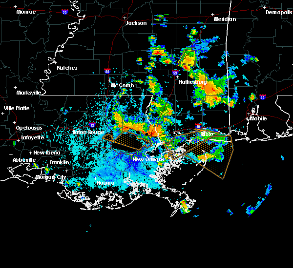 At 325 pm cdt, a severe thunderstorm was located near ponchatoula, or 10 miles southeast of hammond, moving southwest at 15 mph (radar indicated). Hazards include 60 mph wind gusts. Expect damage to roofs. siding. And trees. At 325 pm cdt, a severe thunderstorm was located near ponchatoula, or 10 miles southeast of hammond, moving southwest at 15 mph (radar indicated). Hazards include 60 mph wind gusts. Expect damage to roofs. siding. And trees.
|
| 5/19/2016 11:00 PM CDT | Large limbs down...wood fences blown down and minor roof damage. location is in montgomery terrace subdivision off of highway 2 in tangipahoa county LA, 5 miles ESE of Madisonville, LA |
| 5/19/2016 10:57 PM CDT | The national weather service in new orleans has issued a * tornado warning for. northwestern st. tammany parish in southeastern louisiana. until 1115 pm cdt * at 1057 pm cdt. a severe thunderstorm capable of producing a tornado was located near madisonville. Or 7 miles southwest of. |
| 5/19/2016 10:49 PM CDT |
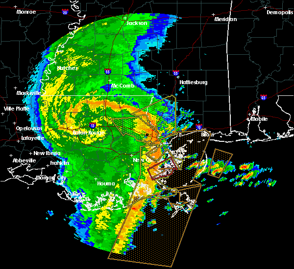 At 1049 pm cdt, severe thunderstorms were located along a line extending from near ponchatoula to 10 miles southwest of madisonville to 6 miles north of metairie, moving east at 60 mph (radar indicated). Hazards include 70 mph wind gusts. Expect considerable tree damage. Damage is likely to mobile homes, roofs, and outbuildings. At 1049 pm cdt, severe thunderstorms were located along a line extending from near ponchatoula to 10 miles southwest of madisonville to 6 miles north of metairie, moving east at 60 mph (radar indicated). Hazards include 70 mph wind gusts. Expect considerable tree damage. Damage is likely to mobile homes, roofs, and outbuildings.
|
| 4/30/2016 3:37 PM CDT |
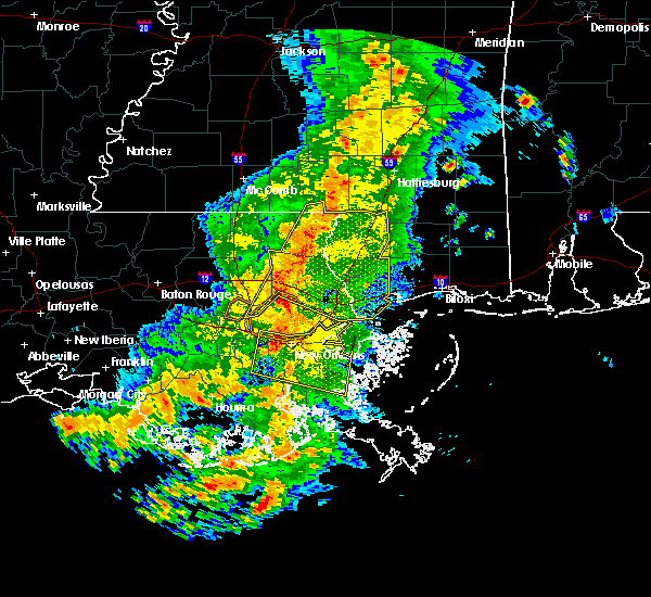 At 337 pm cdt, severe thunderstorms were located along a line extending from near sandy hook to near madisonville, moving east at 30 mph (radar indicated). Hazards include 60 mph wind gusts. Expect damage to roofs. siding. and trees. locations impacted include, slidell, bogalusa, picayune, bay st. Louis, covington, waveland, poplarville, diamondhead, pearl river, abita springs, varnado, madisonville, folsom, sun, crossroads, bush, enon, stennis space center, lacombe and kiln. At 337 pm cdt, severe thunderstorms were located along a line extending from near sandy hook to near madisonville, moving east at 30 mph (radar indicated). Hazards include 60 mph wind gusts. Expect damage to roofs. siding. and trees. locations impacted include, slidell, bogalusa, picayune, bay st. Louis, covington, waveland, poplarville, diamondhead, pearl river, abita springs, varnado, madisonville, folsom, sun, crossroads, bush, enon, stennis space center, lacombe and kiln.
|
| 4/30/2016 3:13 PM CDT |
 At 313 pm cdt, severe thunderstorms were located along a line extending from near dexter to 12 miles southeast of ponchatoula, moving east at 30 mph (radar indicated). Hazards include 60 mph wind gusts. Expect damage to roofs. siding. And trees. At 313 pm cdt, severe thunderstorms were located along a line extending from near dexter to 12 miles southeast of ponchatoula, moving east at 30 mph (radar indicated). Hazards include 60 mph wind gusts. Expect damage to roofs. siding. And trees.
|
| 4/30/2016 3:13 PM CDT |
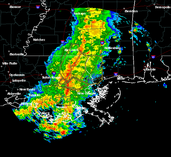 At 313 pm cdt, severe thunderstorms were located along a line extending from near dexter to 12 miles southeast of ponchatoula, moving east at 30 mph (radar indicated). Hazards include 60 mph wind gusts. Expect damage to roofs. siding. And trees. At 313 pm cdt, severe thunderstorms were located along a line extending from near dexter to 12 miles southeast of ponchatoula, moving east at 30 mph (radar indicated). Hazards include 60 mph wind gusts. Expect damage to roofs. siding. And trees.
|
| 4/30/2016 2:46 PM CDT |
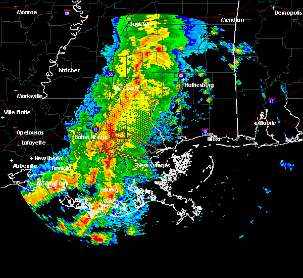 At 245 pm cdt, severe thunderstorms were located along a line extending from near salem to near whitehall, moving east at 30 mph (radar indicated). Hazards include 60 mph wind gusts. Expect damage to roofs. siding. and trees. Locations impacted include, hammond, bogalusa, covington, franklinton, amite, laplace, reserve, ponchatoula, amite city, abita springs, independence, tylertown, varnado, roseland, madisonville, folsom, sun, robert, bush and enon. At 245 pm cdt, severe thunderstorms were located along a line extending from near salem to near whitehall, moving east at 30 mph (radar indicated). Hazards include 60 mph wind gusts. Expect damage to roofs. siding. and trees. Locations impacted include, hammond, bogalusa, covington, franklinton, amite, laplace, reserve, ponchatoula, amite city, abita springs, independence, tylertown, varnado, roseland, madisonville, folsom, sun, robert, bush and enon.
|
| 4/30/2016 2:35 PM CDT |
 At 234 pm cdt, severe thunderstorms were located along a line extending from near salem to near whitehall, moving southeast at 50 mph (radar indicated). Hazards include 60 mph wind gusts. Expect damage to roofs. siding. and trees. Locations impacted include, hammond, bogalusa, covington, franklinton, amite, laplace, reserve, ponchatoula, amite city, abita springs, independence, tylertown, varnado, roseland, french settlement, albany, madisonville, folsom, springfield and sun. At 234 pm cdt, severe thunderstorms were located along a line extending from near salem to near whitehall, moving southeast at 50 mph (radar indicated). Hazards include 60 mph wind gusts. Expect damage to roofs. siding. and trees. Locations impacted include, hammond, bogalusa, covington, franklinton, amite, laplace, reserve, ponchatoula, amite city, abita springs, independence, tylertown, varnado, roseland, french settlement, albany, madisonville, folsom, springfield and sun.
|
| 4/30/2016 2:14 PM CDT |
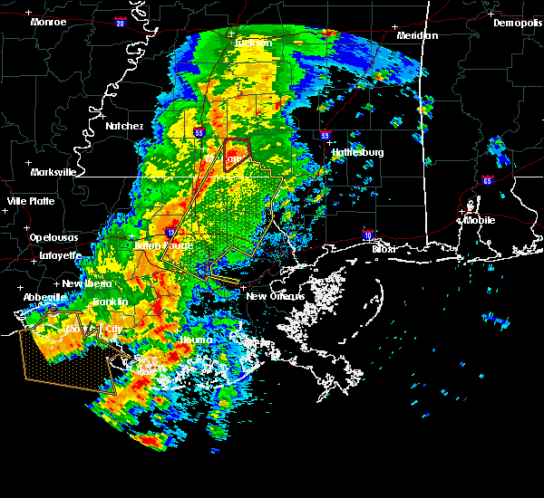 At 213 pm cdt, severe thunderstorms were located along a line extending from near jayess to whitehall, moving southeast at 30 mph (radar indicated). Hazards include 60 mph wind gusts. Expect damage to roofs. siding. And trees. At 213 pm cdt, severe thunderstorms were located along a line extending from near jayess to whitehall, moving southeast at 30 mph (radar indicated). Hazards include 60 mph wind gusts. Expect damage to roofs. siding. And trees.
|
| 3/17/2016 7:26 PM CDT |
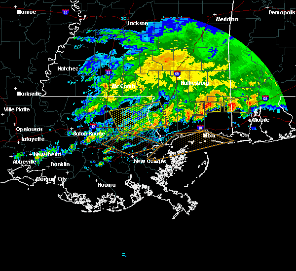 The severe thunderstorm warning for southern washington, northwestern st. tammany and southeastern tangipahoa parishes, western pearl river and northwestern hancock counties will expire at 730 pm cdt, the storms which prompted the warning have weakened below severe limits, and no longer pose an immediate threat to life or property. therefore the warning will be allowed to expire. a severe thunderstorm watch remains in effect until 800 pm cdt for southeastern louisiana and southern mississippi. The severe thunderstorm warning for southern washington, northwestern st. tammany and southeastern tangipahoa parishes, western pearl river and northwestern hancock counties will expire at 730 pm cdt, the storms which prompted the warning have weakened below severe limits, and no longer pose an immediate threat to life or property. therefore the warning will be allowed to expire. a severe thunderstorm watch remains in effect until 800 pm cdt for southeastern louisiana and southern mississippi.
|
| 3/17/2016 6:25 PM CDT |
 At 625 pm cdt, severe thunderstorms were located along a line extending from near poplarville to near independence, moving south at 15 mph (radar indicated). Hazards include 60 mph wind gusts and nickel size hail. Expect damage to roofs. Siding and trees. At 625 pm cdt, severe thunderstorms were located along a line extending from near poplarville to near independence, moving south at 15 mph (radar indicated). Hazards include 60 mph wind gusts and nickel size hail. Expect damage to roofs. Siding and trees.
|
| 3/17/2016 6:25 PM CDT |
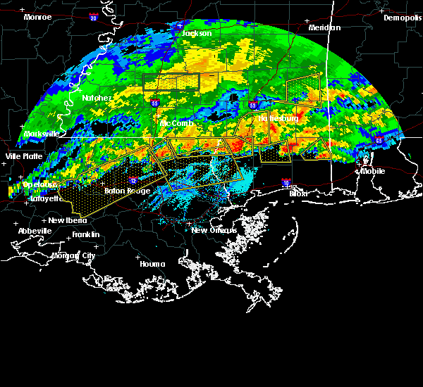 At 625 pm cdt, severe thunderstorms were located along a line extending from near poplarville to near independence, moving south at 15 mph (radar indicated). Hazards include 60 mph wind gusts and nickel size hail. Expect damage to roofs. Siding and trees. At 625 pm cdt, severe thunderstorms were located along a line extending from near poplarville to near independence, moving south at 15 mph (radar indicated). Hazards include 60 mph wind gusts and nickel size hail. Expect damage to roofs. Siding and trees.
|
| 3/11/2016 5:42 AM CST |
 At 542 am cst, severe thunderstorms were located along a line extending from folsom to abita springs to near lacombe to 11 miles north of pointe a la hache, moving northeast at 45 mph (radar indicated). Hazards include 60 mph wind gusts. Expect damage to roofs. siding and trees. Locations impacted include, new orleans, slidell, bogalusa, picayune, covington, chalmette, east new orleans, belle chasse, gretna, pearl river, abita springs, madisonville, folsom, sun, crossroads, bush, enon, meraux, stennis space center and arabi. At 542 am cst, severe thunderstorms were located along a line extending from folsom to abita springs to near lacombe to 11 miles north of pointe a la hache, moving northeast at 45 mph (radar indicated). Hazards include 60 mph wind gusts. Expect damage to roofs. siding and trees. Locations impacted include, new orleans, slidell, bogalusa, picayune, covington, chalmette, east new orleans, belle chasse, gretna, pearl river, abita springs, madisonville, folsom, sun, crossroads, bush, enon, meraux, stennis space center and arabi.
|
| 3/11/2016 5:21 AM CST |
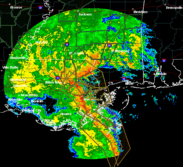 At 520 am cst, severe thunderstorms were located along a line extending from near ponchatoula to near madisonville to 10 miles southwest of lacombe to near myrtle grove, moving northeast at 45 mph (radar indicated). Hazards include 60 mph wind gusts. Expect damage to roofs. Siding and trees. At 520 am cst, severe thunderstorms were located along a line extending from near ponchatoula to near madisonville to 10 miles southwest of lacombe to near myrtle grove, moving northeast at 45 mph (radar indicated). Hazards include 60 mph wind gusts. Expect damage to roofs. Siding and trees.
|
| 3/11/2016 4:57 AM CST |
 At 456 am cst, severe thunderstorms were located along a line extending from 8 miles north of reserve to near waggaman to near barataria to 8 miles northeast of golden meadow, moving northeast at 50 mph (radar indicated). Hazards include 60 mph wind gusts. Expect damage to roofs. Siding and trees. At 456 am cst, severe thunderstorms were located along a line extending from 8 miles north of reserve to near waggaman to near barataria to 8 miles northeast of golden meadow, moving northeast at 50 mph (radar indicated). Hazards include 60 mph wind gusts. Expect damage to roofs. Siding and trees.
|
| 2/23/2016 4:40 PM CST | Madisonville mayor reported large metal canopy blown off at madisonville boat launch. one home near the boat launch was reported to have some damage. event time estimat in st. tammany county LA, 0.4 miles SSW of Madisonville, LA |
| 2/23/2016 4:34 PM CST |
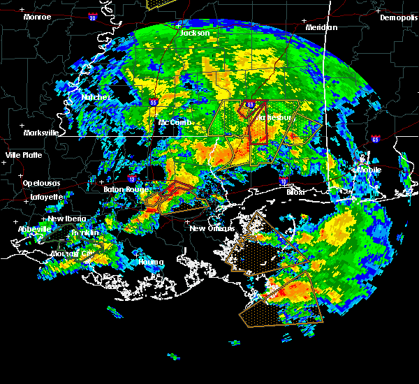 At 433 pm cst, a severe thunderstorm capable of producing a tornado was located over madisonville, or 8 miles southwest of covington, moving northeast at 50 mph (radar indicated rotation). Hazards include tornado. Flying debris will be dangerous to those caught without shelter. mobile homes will be damaged or destroyed. damage to roofs, windows and vehicles will occur. tree damage is likely. this tornadic thunderstorm will remain over mainly rural areas of west central st. Tammany parish. At 433 pm cst, a severe thunderstorm capable of producing a tornado was located over madisonville, or 8 miles southwest of covington, moving northeast at 50 mph (radar indicated rotation). Hazards include tornado. Flying debris will be dangerous to those caught without shelter. mobile homes will be damaged or destroyed. damage to roofs, windows and vehicles will occur. tree damage is likely. this tornadic thunderstorm will remain over mainly rural areas of west central st. Tammany parish.
|
| 2/23/2016 4:27 PM CST |
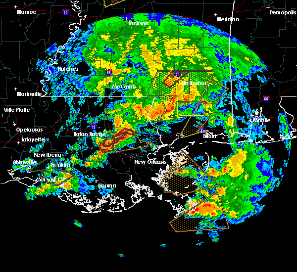 At 426 pm cst, a severe thunderstorm capable of producing a tornado was located 8 miles southwest of madisonville, or 14 miles southwest of covington, moving northeast at 50 mph (radar indicated rotation). Hazards include tornado. Flying debris will be dangerous to those caught without shelter. mobile homes will be damaged or destroyed. damage to roofs, windows and vehicles will occur. tree damage is likely. This dangerous storm will be near, madisonville around 440 pm cst. At 426 pm cst, a severe thunderstorm capable of producing a tornado was located 8 miles southwest of madisonville, or 14 miles southwest of covington, moving northeast at 50 mph (radar indicated rotation). Hazards include tornado. Flying debris will be dangerous to those caught without shelter. mobile homes will be damaged or destroyed. damage to roofs, windows and vehicles will occur. tree damage is likely. This dangerous storm will be near, madisonville around 440 pm cst.
|
| 2/23/2016 4:05 PM CST |
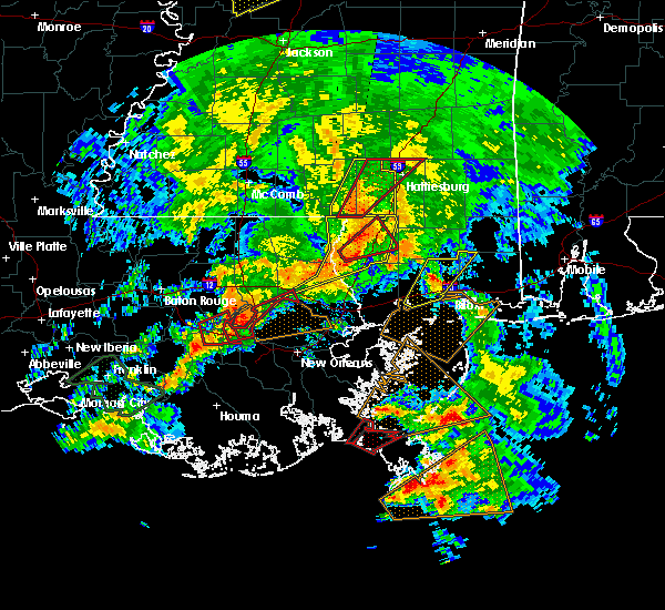 At 404 pm cst, a confirmed large and extremely dangerous tornado was located 7 miles north of laplace, moving northeast at 50 mph. this is a particularly dangerous situation (radar confirmed tornado). Hazards include damaging tornado. You are in a life threatening situation. flying debris may be deadly to those caught without shelter. mobile homes will be destroyed. considerable damage to homes, businesses and vehicles is likely and complete destruction is possible. Locations impacted include, reserve, laplace, madisonville and garyville. At 404 pm cst, a confirmed large and extremely dangerous tornado was located 7 miles north of laplace, moving northeast at 50 mph. this is a particularly dangerous situation (radar confirmed tornado). Hazards include damaging tornado. You are in a life threatening situation. flying debris may be deadly to those caught without shelter. mobile homes will be destroyed. considerable damage to homes, businesses and vehicles is likely and complete destruction is possible. Locations impacted include, reserve, laplace, madisonville and garyville.
|
| 2/23/2016 4:01 PM CST |
 At 401 pm cst, a severe thunderstorm capable of producing a tornado was located near reserve, moving northeast at 50 mph (radar indicated rotation). Hazards include tornado. Flying debris will be dangerous to those caught without shelter. mobile homes will be damaged or destroyed. damage to roofs, windows and vehicles will occur. tree damage is likely. this tornadic thunderstorm will remain over mainly rural areas of west central st. tammany, southeastern tangipahoa and northern st. John the baptist parishes. At 401 pm cst, a severe thunderstorm capable of producing a tornado was located near reserve, moving northeast at 50 mph (radar indicated rotation). Hazards include tornado. Flying debris will be dangerous to those caught without shelter. mobile homes will be damaged or destroyed. damage to roofs, windows and vehicles will occur. tree damage is likely. this tornadic thunderstorm will remain over mainly rural areas of west central st. tammany, southeastern tangipahoa and northern st. John the baptist parishes.
|
| 2/23/2016 3:42 PM CST |
 At 341 pm cst, severe thunderstorms were located along a line extending from near sandy hook to near crossroads to bush to near covington, moving northeast at 50 mph (radar indicated). Hazards include 70 mph wind gusts. Expect considerable tree damage. Damage is likely to mobile homes, roofs and outbuildings. At 341 pm cst, severe thunderstorms were located along a line extending from near sandy hook to near crossroads to bush to near covington, moving northeast at 50 mph (radar indicated). Hazards include 70 mph wind gusts. Expect considerable tree damage. Damage is likely to mobile homes, roofs and outbuildings.
|
| 7/29/2015 6:14 PM CDT |
 At 614 pm cdt, doppler radar indicated a line of severe thunderstorms capable of producing damaging winds in excess of 60 mph. these storms were located along a line extending from 6 miles south of abita springs to near pearlington, and moving southwest at 25 mph. At 614 pm cdt, doppler radar indicated a line of severe thunderstorms capable of producing damaging winds in excess of 60 mph. these storms were located along a line extending from 6 miles south of abita springs to near pearlington, and moving southwest at 25 mph.
|
| 7/5/2015 5:26 PM CDT |
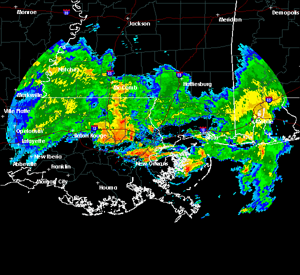 The severe thunderstorm warning for west central st. tammany, southern tangipahoa and northeastern livingston parishes will expire at 530 pm cdt, the storm which prompted the warning has weakened below severe limits, and no longer poses an immediate threat to life or property. therefore the warning will be allowed to expire. however heavy rain and frequent lightning is still possible with these thunderstorms. The severe thunderstorm warning for west central st. tammany, southern tangipahoa and northeastern livingston parishes will expire at 530 pm cdt, the storm which prompted the warning has weakened below severe limits, and no longer poses an immediate threat to life or property. therefore the warning will be allowed to expire. however heavy rain and frequent lightning is still possible with these thunderstorms.
|
| 7/5/2015 5:19 PM CDT |
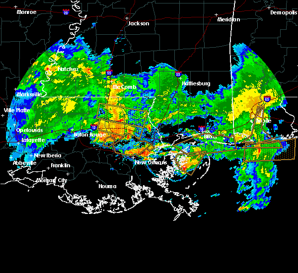 At 518 pm cdt, doppler radar indicated a severe thunderstorm capable of producing damaging winds in excess of 60 mph. this storm was located near covington, moving east at 50 mph. locations impacted include, hammond, covington, ponchatoula, abita springs, albany, madisonville, springfield, robert, natalbany, lacombe and tickfaw. At 518 pm cdt, doppler radar indicated a severe thunderstorm capable of producing damaging winds in excess of 60 mph. this storm was located near covington, moving east at 50 mph. locations impacted include, hammond, covington, ponchatoula, abita springs, albany, madisonville, springfield, robert, natalbany, lacombe and tickfaw.
|
| 7/5/2015 4:50 PM CDT |
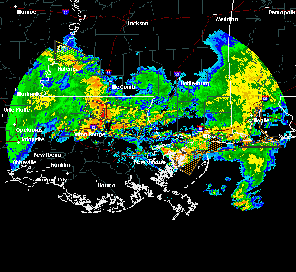 At 449 pm cdt, trained weather spotters reported a severe thunderstorm producing damaging winds near 60 mph. this storm was located over albany, or 8 miles west of hammond, and moving east at 50 mph. At 449 pm cdt, trained weather spotters reported a severe thunderstorm producing damaging winds near 60 mph. this storm was located over albany, or 8 miles west of hammond, and moving east at 50 mph.
|
| 4/27/2015 10:31 AM CDT | At 1031 am cdt, doppler radar indicated a line of severe thunderstorms capable of producing destructive winds in excess of 70 mph. these storms were located along a line extending from near hammond to near madisonville to 8 miles northwest of metairie, moving east at 40 mph. locations impacted include, slidell, hammond, covington, ponchatoula, pearl river, abita springs, madisonville, lacombe, robert, natalbany, pearlington, tickfaw, slidell airport and w lk pontchartrain buoy. a tornado watch remains in effect until 100 pm cdt for southeastern louisiana and southern mississippi. |
| 4/27/2015 10:13 AM CDT | At 1013 am cdt, doppler radar indicated a line of severe thunderstorms capable of producing destructive winds in excess of 70 mph. these storms were located along a line extending from near albany to near ponchatoula to near laplace, and moving east at 40 mph. |
| 4/25/2015 1:32 PM CDT | At 131 pm cdt, doppler radar indicated a line of severe thunderstorms capable of producing damaging winds in excess of 60 mph. these storms were located along a line extending from 6 miles southwest of madisonville to 12 miles north of metairie to near new orleans to near westwego, moving east at 65 mph. locations impacted include, new orleans, slidell, covington, belle chasse, east new orleans, harvey, timberlane, avondale, chalmette, metairie, marrero, hahnville, jefferson, gretna, harahan, westwego, abita springs, madisonville, bridge city and estelle. |
| 4/25/2015 1:17 PM CDT | At 116 pm cdt, doppler radar indicated a line of severe thunderstorms capable of producing destructive winds in excess of 70 mph. these storms were located along a line extending from 9 miles south of springfield to 7 miles northeast of laplace to near st. rose to luling, and moving east at 65 mph. |
| 4/25/2015 12:34 PM CDT | At 1233 pm cdt, doppler radar indicated a severe thunderstorm capable of producing half dollar size hail and destructive winds in excess of 70 mph. this storm was located near madisonville, or 9 miles south of covington, and moving northeast at 40 mph. |
| 4/25/2015 12:12 PM CDT | At 1212 pm cdt, doppler radar indicated a severe thunderstorm capable of producing quarter size hail and damaging winds in excess of 60 mph. this storm was located 8 miles southeast of springfield, or 13 miles south of hammond, and moving east at 55 mph. |
| 4/10/2015 2:39 PM CDT | A severe thunderstorm warning remains in effect until 245 pm cdt for northwestern st. tammany and southeastern tangipahoa parishes. at 238 pm cdt. doppler radar indicated a severe thunderstorm capable of producing damaging winds in excess of 60 mph. this storm was located near robert. or 8 miles west of covington. Moving east at 25 mph. |
| 4/10/2015 2:18 PM CDT | The national weather service in new orleans has issued a * severe thunderstorm warning for. northwestern st. tammany parish in southeastern louisiana. southeastern tangipahoa parish in southeastern louisiana. until 245 pm cdt * at 217 pm cdt. Doppler radar indicated a severe thunderstorm. |
| 8/10/2012 1:22 PM CDT | Entergy reporting two power outages in the madisonville aera affecting 41 customers...adrienne st off highway 1085 and north bonita and south bonita streets off perrilo in st. tammany county LA, 1.5 miles SE of Madisonville, LA |
| 1/1/0001 12:00 AM | Entergy electric reporting 597 residents without power mostly in the bedico and lee landing area in tangipahoa county LA, 7.7 miles ESE of Madisonville, LA |
Hail Maps for Madisonville, LA
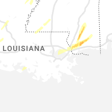
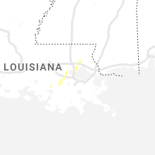
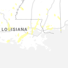


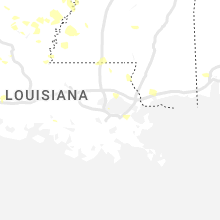

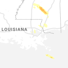

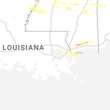


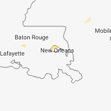
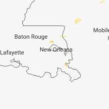

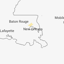
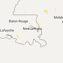


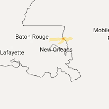
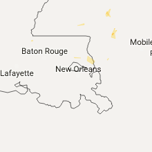
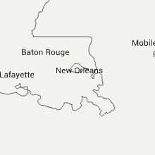
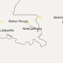

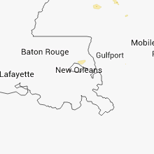
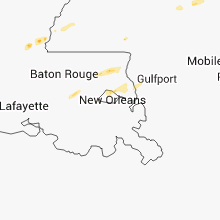

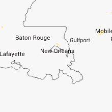


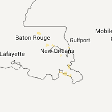
Connect with Interactive Hail Maps