

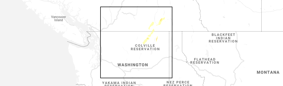
Hail Map for Malo, WA
The Malo, WA area has had 1 report of on-the-ground hail by trained spotters, and has been under severe weather warnings 1 time during the past 12 months. Doppler radar has detected hail at or near Malo, WA on 2 occasions.
| Name: | Malo, WA |
| Where Located: | 49.8 miles ENE of Omak, WA |
| Map: | Google Map for Malo, WA |
| Population: | 28 |
| Housing Units: | 17 |
| More Info: | Search Google for Malo, WA |
5
The Top Recent Hail Date for Malo, WA is Sunday, June 13, 2021 (1st out of 2)
Hail and Wind Damage Spotted near Malo, WA
| Date / Time | Report Details |
|---|---|
| 5/20/2023 2:01 PM PDT |
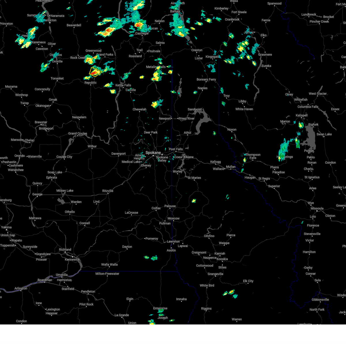 At 200 pm pdt, a severe thunderstorm was located 16 miles northwest of sherman pass moving northeast at 5 mph (trained spotter confirmed quarter size hail 3 miles west of malo). Hazards include quarter size hail. damage to vehicles is expected At 200 pm pdt, a severe thunderstorm was located 16 miles northwest of sherman pass moving northeast at 5 mph (trained spotter confirmed quarter size hail 3 miles west of malo). Hazards include quarter size hail. damage to vehicles is expected
|
| 5/20/2023 2:00 PM PDT | Quarter sized hail reported 2.2 miles SE of Malo, WA, also reporting 0.54 inches of precipitation in the last 45 minutes. |
| 6/25/2018 4:22 AM PDT |
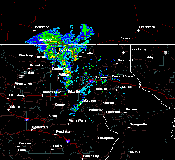 The severe thunderstorm warning for northwestern ferry and northeastern okanogan counties will expire at 430 am pdt, the storm which prompted the warning has moved out of the area. therefore, the warning will be allowed to expire. The severe thunderstorm warning for northwestern ferry and northeastern okanogan counties will expire at 430 am pdt, the storm which prompted the warning has moved out of the area. therefore, the warning will be allowed to expire.
|
| 6/25/2018 3:59 AM PDT |
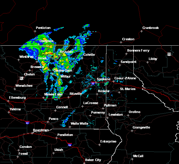 The national weather service in spokane has issued a * severe thunderstorm warning for. northwestern ferry county in northeastern washington. northeastern okanogan county in northeastern washington. until 430 am pdt. At 359 am pdt, a severe thunderstorm was located 22 miles west of. The national weather service in spokane has issued a * severe thunderstorm warning for. northwestern ferry county in northeastern washington. northeastern okanogan county in northeastern washington. until 430 am pdt. At 359 am pdt, a severe thunderstorm was located 22 miles west of.
|
| 7/20/2012 4:32 PM PDT | Strong winds brought 50yr old pine trees down. very hard rain at time of report. 2 to 4 foot waves on lake curle in ferry county WA, 1.4 miles ENE of Malo, WA |
Hail Maps for Malo, WA


Connect with Interactive Hail Maps