

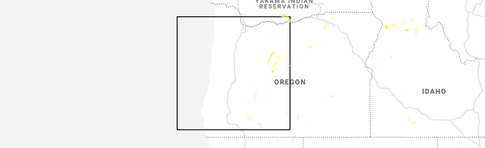
Hail Map for Maryhill, WA
The Maryhill, WA area has had 0 reports of on-the-ground hail by trained spotters, and has been under severe weather warnings 0 times during the past 12 months. Doppler radar has detected hail at or near Maryhill, WA on 2 occasions.
| Name: | Maryhill, WA |
| Where Located: | 64.6 miles SSW of Yakima, WA |
| Map: | Google Map for Maryhill, WA |
| Population: | 58 |
| Housing Units: | 27 |
| More Info: | Search Google for Maryhill, WA |
0
The Top Recent Hail Date for Maryhill, WA is Friday, August 9, 2019 (2nd out of 2)
Hail and Wind Damage Spotted near Maryhill, WA
| Date / Time | Report Details |
|---|---|
| 5/30/2020 3:58 PM PDT |
 At 358 pm pdt, severe thunderstorms were located along a line extending from the dalles to maryhill to near rock creek, moving north at 50 mph (radar indicated). Hazards include 60 mph wind gusts. expect damage to roofs, siding, and trees At 358 pm pdt, severe thunderstorms were located along a line extending from the dalles to maryhill to near rock creek, moving north at 50 mph (radar indicated). Hazards include 60 mph wind gusts. expect damage to roofs, siding, and trees
|
Hail Maps for Maryhill, WA


Connect with Interactive Hail Maps