

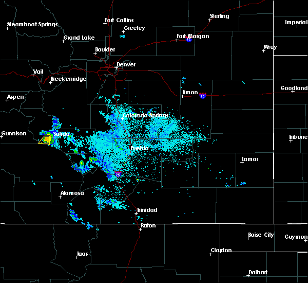
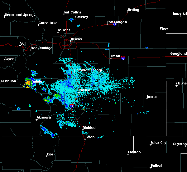
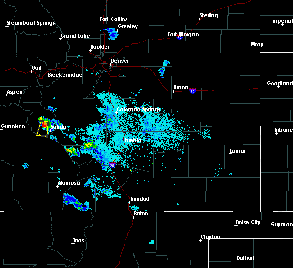
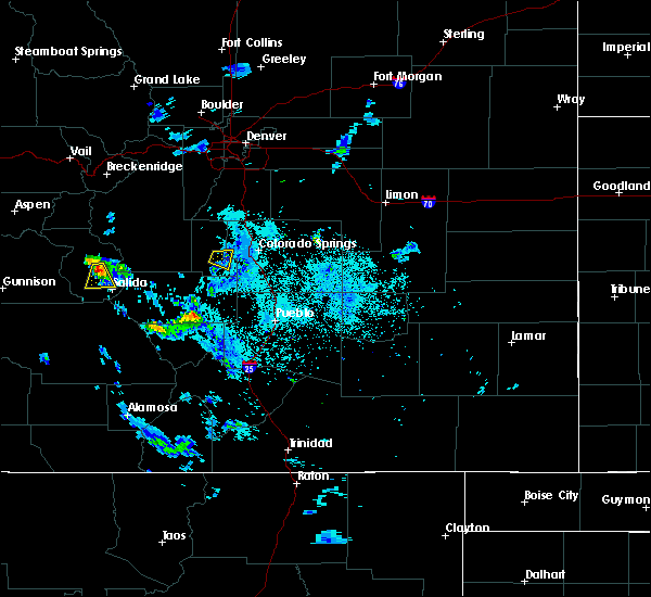
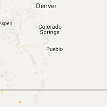
Hail Map for Maysville, CO
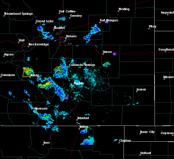
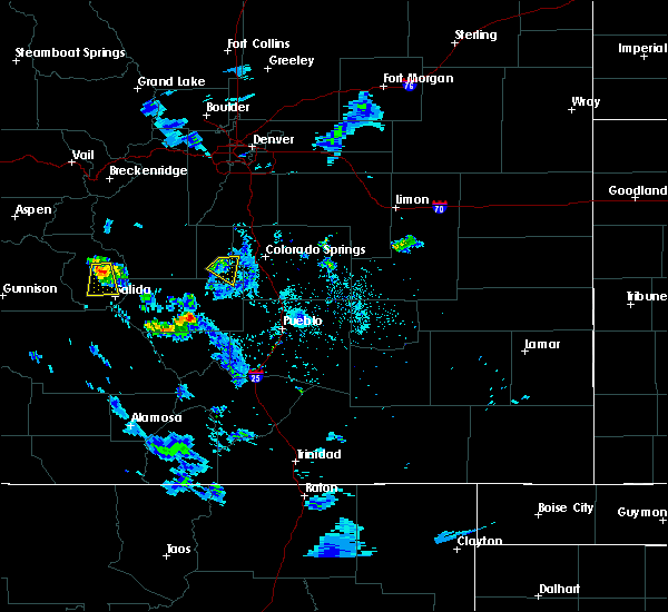
The Maysville, CO area has had 0 reports of on-the-ground hail by trained spotters, and has been under severe weather warnings 0 times during the past 12 months. Doppler radar has detected hail at or near Maysville, CO on 4 occasions, including 1 occasion during the past year.
| Name: | Maysville, CO |
| Where Located: | 88.7 miles WNW of Pueblo, CO |
| Map: | Google Map for Maysville, CO |
| Population: | 135 |
| Housing Units: | 108 |
| More Info: | Search Google for Maysville, CO |
0
The Top Recent Hail Date for Maysville, CO is Monday, June 12, 2023 (2nd out of 4)

Hail and Wind Damage Spotted near Maysville, CO
| Date / Time | Report Details |
|---|---|
| 6/5/2016 10:04 PM MDT |
 At 1004 pm mdt, a severe thunderstorm was located over poncha springs, or 43 miles east of gunnison, moving south at 20 mph (trained weather spotters). Hazards include quarter size hail. Damage to vehicles is expected. Locations impacted include, poncha springs and poncha pass. At 1004 pm mdt, a severe thunderstorm was located over poncha springs, or 43 miles east of gunnison, moving south at 20 mph (trained weather spotters). Hazards include quarter size hail. Damage to vehicles is expected. Locations impacted include, poncha springs and poncha pass.
|
| 6/5/2016 9:52 PM MDT |
 At 952 pm mdt, a severe thunderstorm was located near poncha springs, or 43 miles east of gunnison, moving south southwest at 15 mph (trained weather spotters). Hazards include quarter size hail. Damage to vehicles is expected. Locations impacted include, poncha springs and poncha pass. At 952 pm mdt, a severe thunderstorm was located near poncha springs, or 43 miles east of gunnison, moving south southwest at 15 mph (trained weather spotters). Hazards include quarter size hail. Damage to vehicles is expected. Locations impacted include, poncha springs and poncha pass.
|
| 6/5/2016 9:39 PM MDT |
 At 937 pm mdt, a severe thunderstorm was located near poncha springs, or 43 miles east of gunnison, moving south at 20 mph (trained weather spotters reported 1 inch hail at 936 pm mdt 7 miles south southwest of nathrop). Hazards include quarter size hail. Damage to vehicles is expected. Locations impacted include, poncha springs and poncha pass. At 937 pm mdt, a severe thunderstorm was located near poncha springs, or 43 miles east of gunnison, moving south at 20 mph (trained weather spotters reported 1 inch hail at 936 pm mdt 7 miles south southwest of nathrop). Hazards include quarter size hail. Damage to vehicles is expected. Locations impacted include, poncha springs and poncha pass.
|
| 6/5/2016 9:30 PM MDT |
 At 929 pm mdt, a severe thunderstorm was located near nathrop, or 44 miles east of gunnison, moving south at 20 mph (trained weather spotters). Hazards include quarter size hail. damage to vehicles is expected At 929 pm mdt, a severe thunderstorm was located near nathrop, or 44 miles east of gunnison, moving south at 20 mph (trained weather spotters). Hazards include quarter size hail. damage to vehicles is expected
|
| 6/5/2016 9:12 PM MDT |
 At 910 pm mdt, a severe thunderstorm was located southwest of nathrop, or 45 miles east of gunnison, moving south south west at 15 mph (radar indicated). Hazards include 60 mph wind gusts and quarter size hail. Hail damage to vehicles is expected. expect wind damage to roofs, siding, and trees. Locations impacted include, nathrop and areas south along highway 285. At 910 pm mdt, a severe thunderstorm was located southwest of nathrop, or 45 miles east of gunnison, moving south south west at 15 mph (radar indicated). Hazards include 60 mph wind gusts and quarter size hail. Hail damage to vehicles is expected. expect wind damage to roofs, siding, and trees. Locations impacted include, nathrop and areas south along highway 285.
|
| 6/5/2016 9:00 PM MDT |
 At 859 pm mdt, a severe thunderstorm was near nathrop, or 45 miles east of gunnison, moving south at 20 mph (radar indicated). Hazards include 60 mph wind gusts and quarter size hail. Hail damage to vehicles is expected. expect wind damage to roofs, siding, and trees. Locations impacted include, nathrop. At 859 pm mdt, a severe thunderstorm was near nathrop, or 45 miles east of gunnison, moving south at 20 mph (radar indicated). Hazards include 60 mph wind gusts and quarter size hail. Hail damage to vehicles is expected. expect wind damage to roofs, siding, and trees. Locations impacted include, nathrop.
|
| 6/5/2016 8:50 PM MDT |
 At 849 pm mdt, a severe thunderstorm was located over nathrop, or 45 miles east of gunnison, moving south at 20 mph (radar indicated). Hazards include 60 mph wind gusts and quarter size hail. Hail damage to vehicles is expected. Expect wind damage to roofs, siding, and trees. At 849 pm mdt, a severe thunderstorm was located over nathrop, or 45 miles east of gunnison, moving south at 20 mph (radar indicated). Hazards include 60 mph wind gusts and quarter size hail. Hail damage to vehicles is expected. Expect wind damage to roofs, siding, and trees.
|
| 6/8/2014 1:43 PM MDT | Storm damage reported in gunnison county CO, 6.9 miles ENE of Maysville, CO |
| 6/8/2014 12:19 PM MDT | Storm damage reported in gunnison county CO, 6.9 miles ENE of Maysville, CO |
Hail Maps for Maysville, CO


Connect with Interactive Hail Maps