

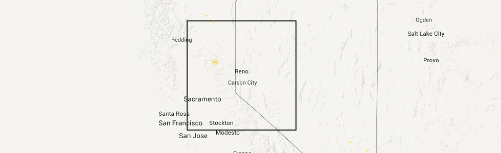
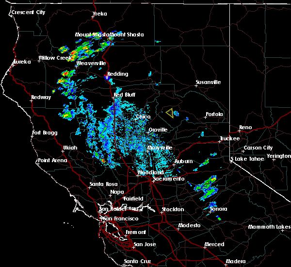
Hail Map for Meadow Valley, CA
The Meadow Valley, CA area has had 0 reports of on-the-ground hail by trained spotters, and has been under severe weather warnings 1 time during the past 12 months. Doppler radar has detected hail at or near Meadow Valley, CA on 4 occasions.
| Name: | Meadow Valley, CA |
| Where Located: | 72.9 miles WNW of Reno, NV |
| Map: | Google Map for Meadow Valley, CA |
| Population: | 464 |
| Housing Units: | 304 |
| More Info: | Search Google for Meadow Valley, CA |
5
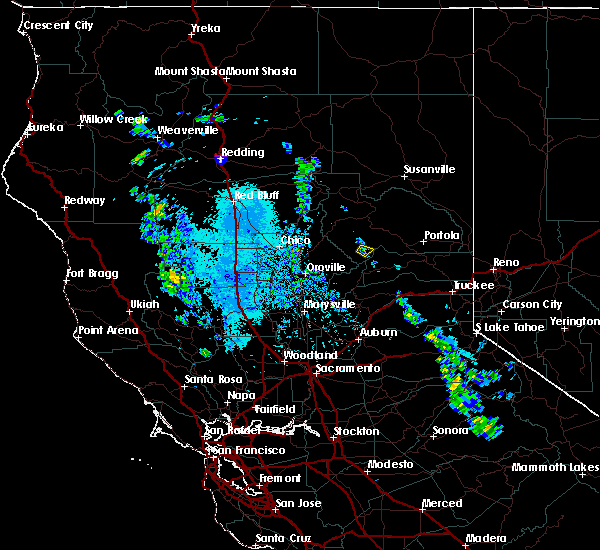
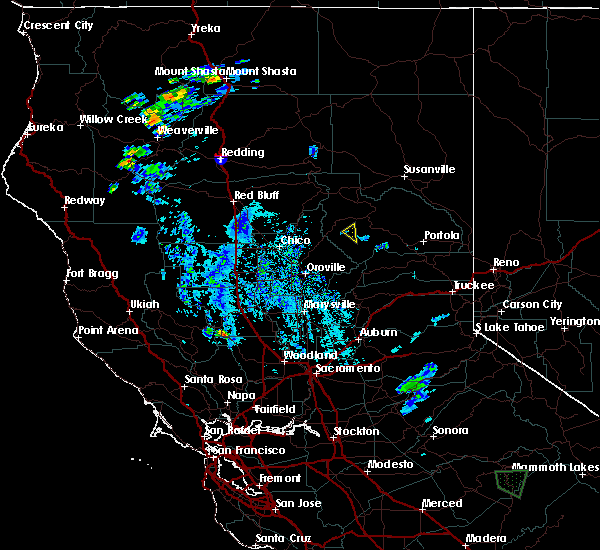
The Top Recent Hail Date for Meadow Valley, CA is Sunday, September 11, 2011 (1st out of 4)
Hail and Wind Damage Spotted near Meadow Valley, CA
| Date / Time | Report Details |
|---|---|
| 6/11/2023 6:30 PM PDT |
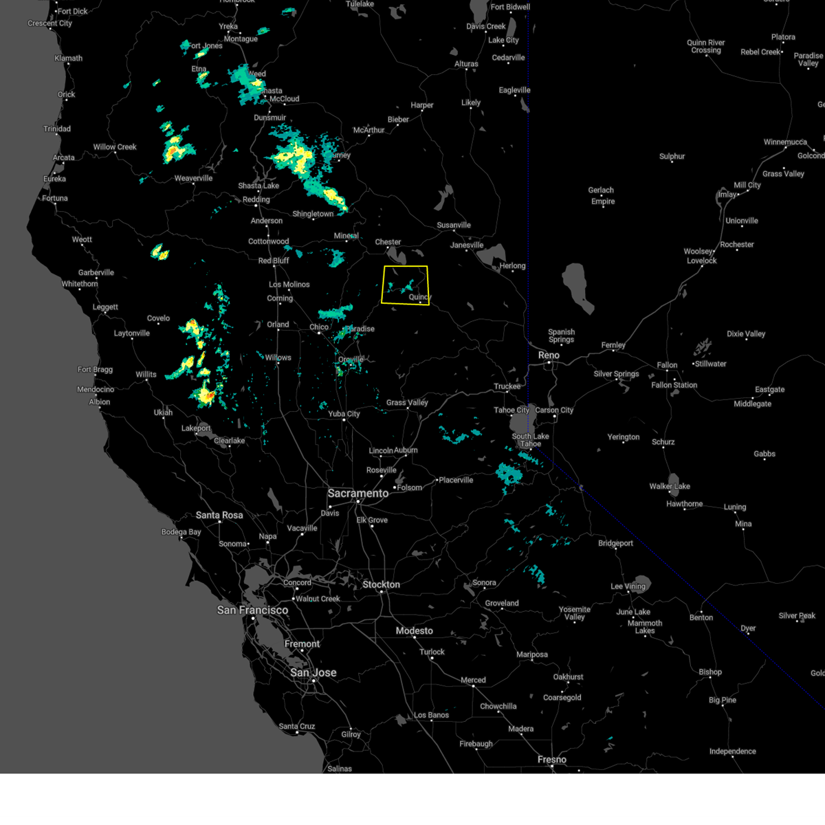 At 630 pm pdt, a severe thunderstorm was located over twain, or 8 miles northwest of quincy, and is nearly stationary (radar indicated). Hazards include half dollar size hail. damage to vehicles is expected At 630 pm pdt, a severe thunderstorm was located over twain, or 8 miles northwest of quincy, and is nearly stationary (radar indicated). Hazards include half dollar size hail. damage to vehicles is expected
|
| 5/29/2019 3:35 PM PDT |
 At 335 pm pdt, a severe thunderstorm was located near bucks lake, or 11 miles southwest of quincy, moving northwest at 15 mph (radar indicated). Hazards include 60 mph wind gusts and quarter size hail. Hail damage to vehicles is expected. Expect wind damage to roofs, siding, and trees. At 335 pm pdt, a severe thunderstorm was located near bucks lake, or 11 miles southwest of quincy, moving northwest at 15 mph (radar indicated). Hazards include 60 mph wind gusts and quarter size hail. Hail damage to vehicles is expected. Expect wind damage to roofs, siding, and trees.
|
| 7/20/2015 5:37 PM PDT |
 The severe thunderstorm warning for central plumas county will expire at 545 pm pdt, the severe thunderstorm which prompted the warning has weakened. therefore the warning will be allowed to expire. The severe thunderstorm warning for central plumas county will expire at 545 pm pdt, the severe thunderstorm which prompted the warning has weakened. therefore the warning will be allowed to expire.
|
| 7/20/2015 5:16 PM PDT |
 At 515 pm pdt, doppler radar indicated a severe thunderstorm capable of producing quarter size hail and damaging winds in excess of 60 mph. this storm was located near meadow valley, or 7 miles southwest of quincy. this storm was nearly stationary. At 515 pm pdt, doppler radar indicated a severe thunderstorm capable of producing quarter size hail and damaging winds in excess of 60 mph. this storm was located near meadow valley, or 7 miles southwest of quincy. this storm was nearly stationary.
|
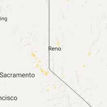
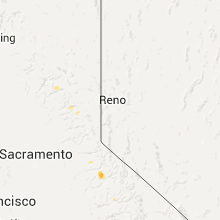
Hail Maps for Meadow Valley, CA


Connect with Interactive Hail Maps