

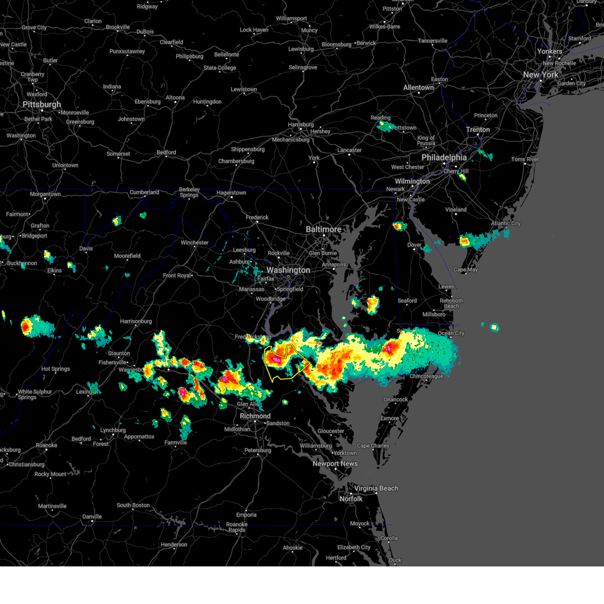
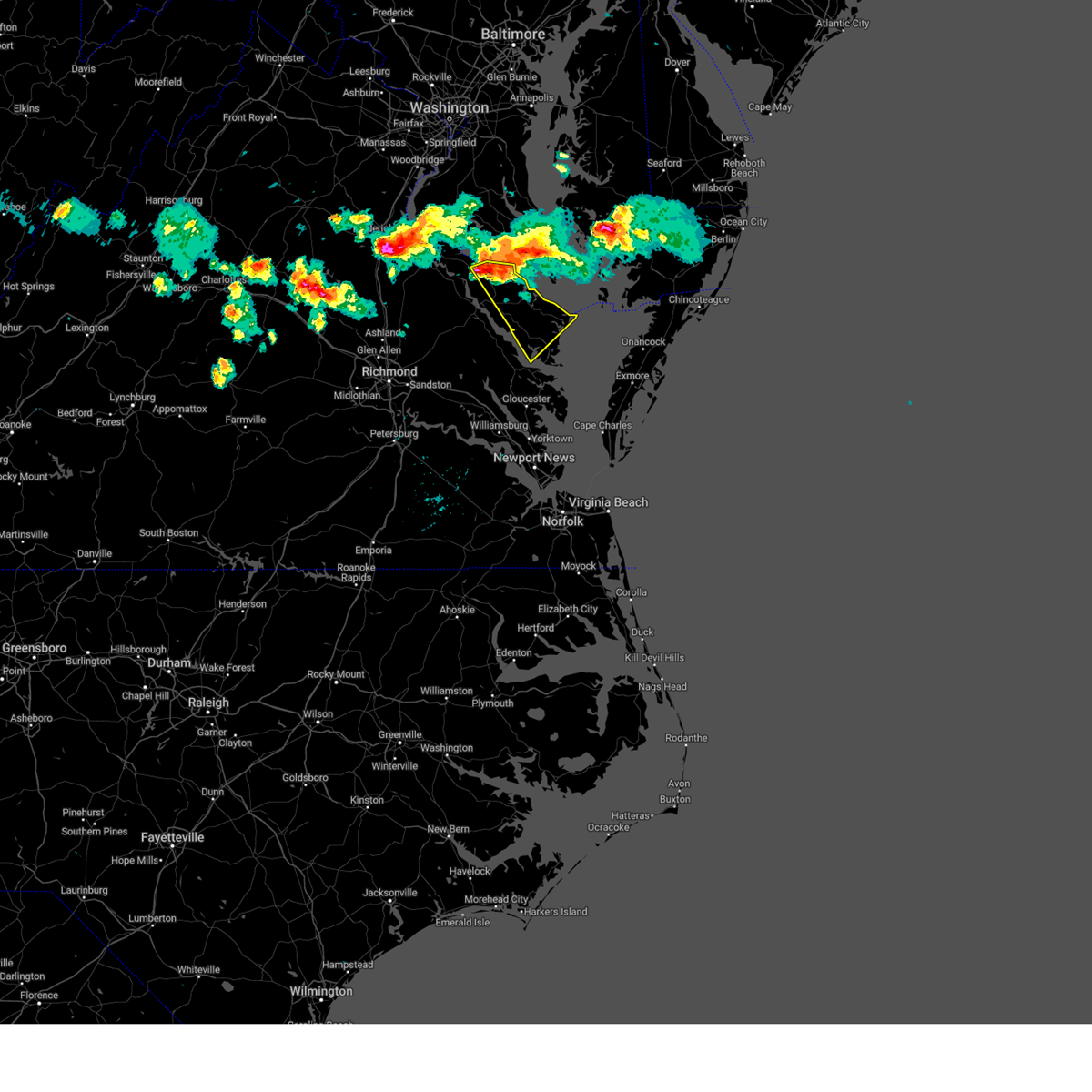
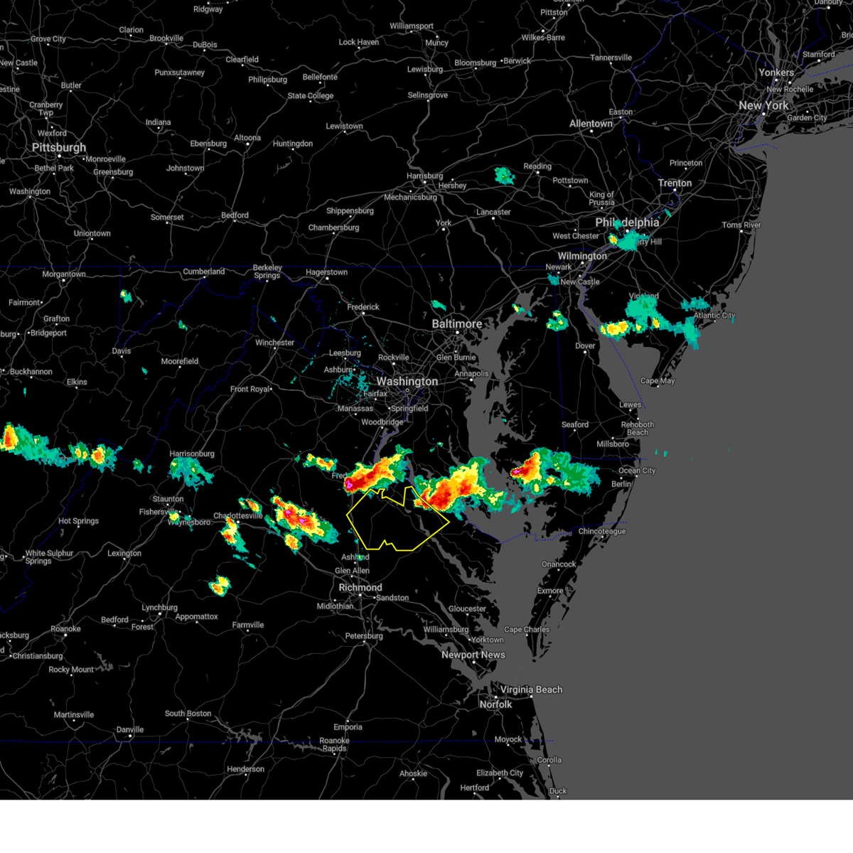
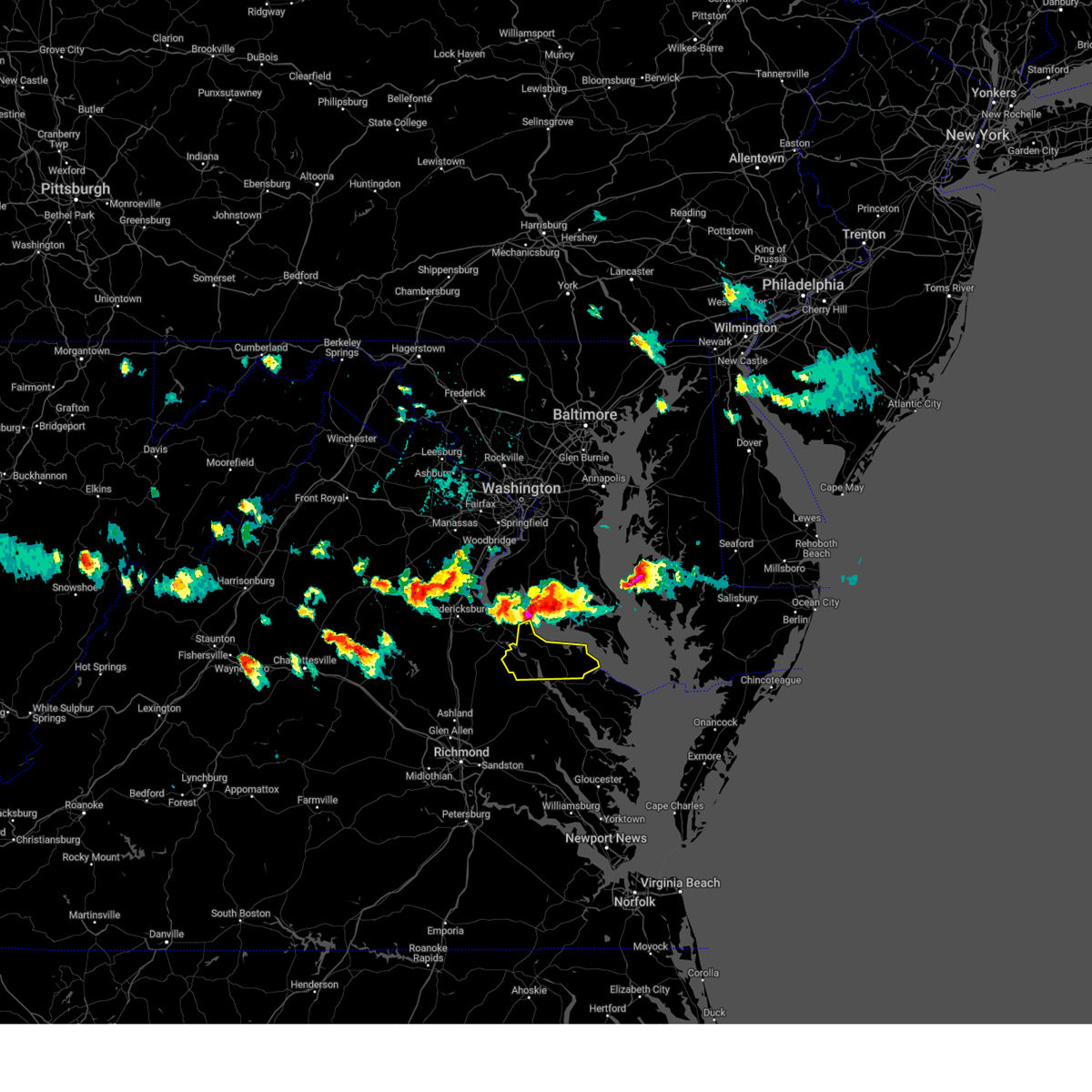
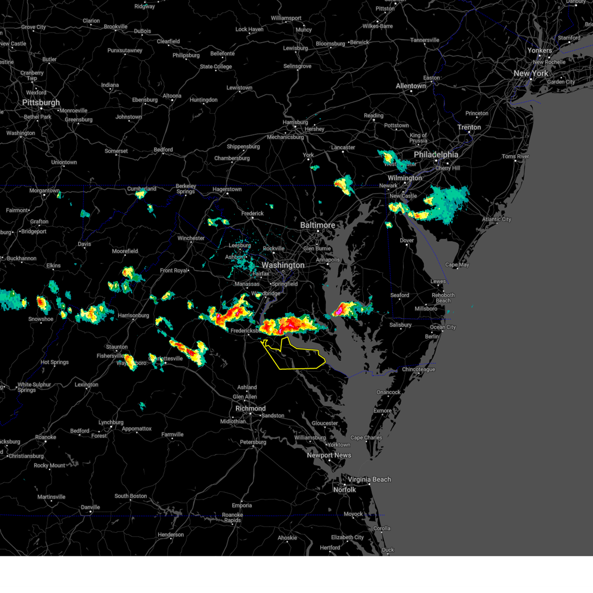
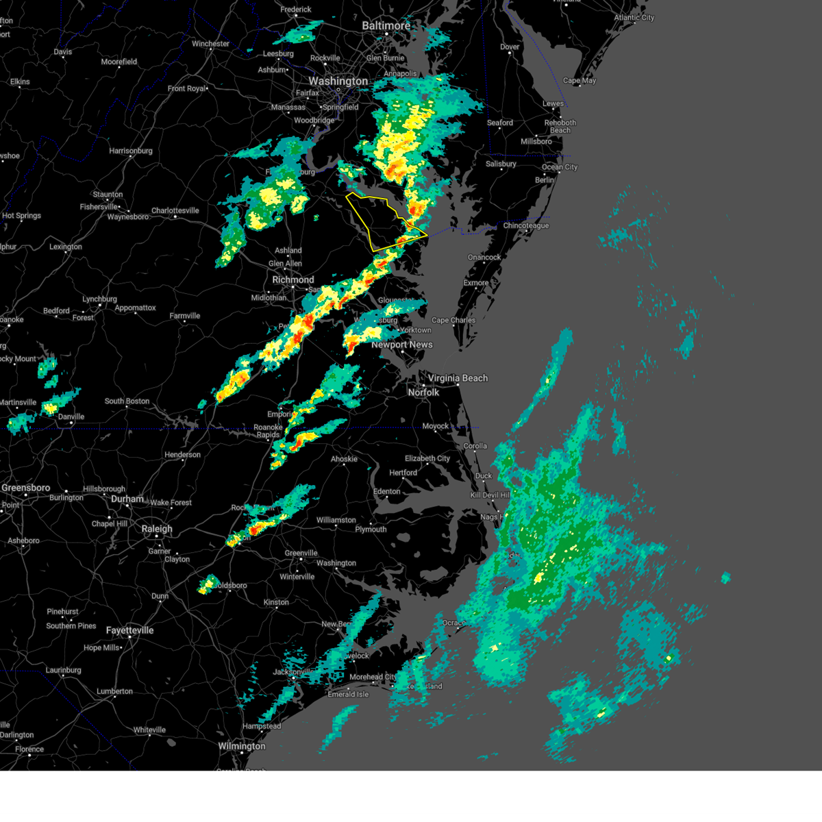
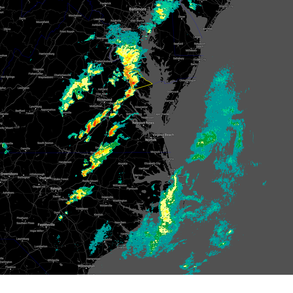
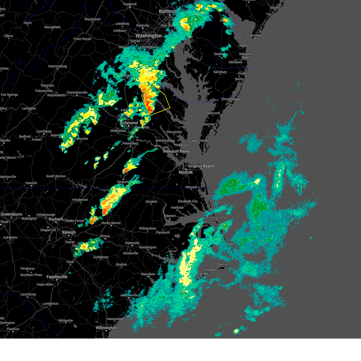
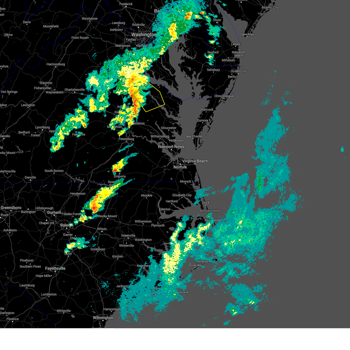
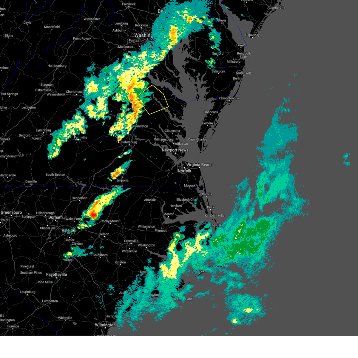
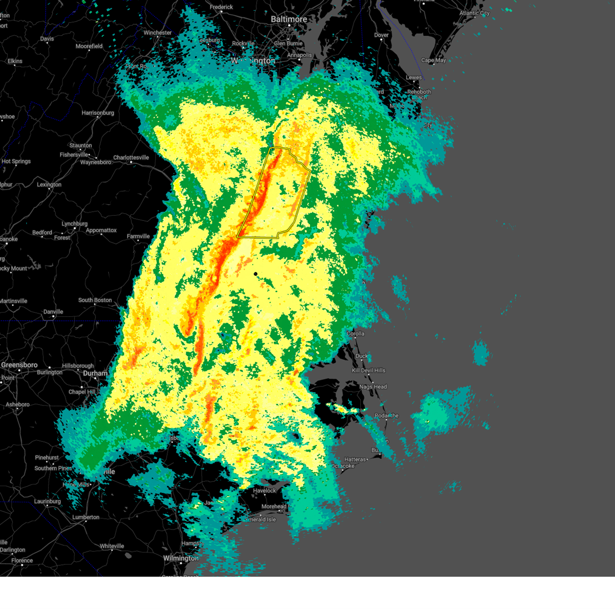
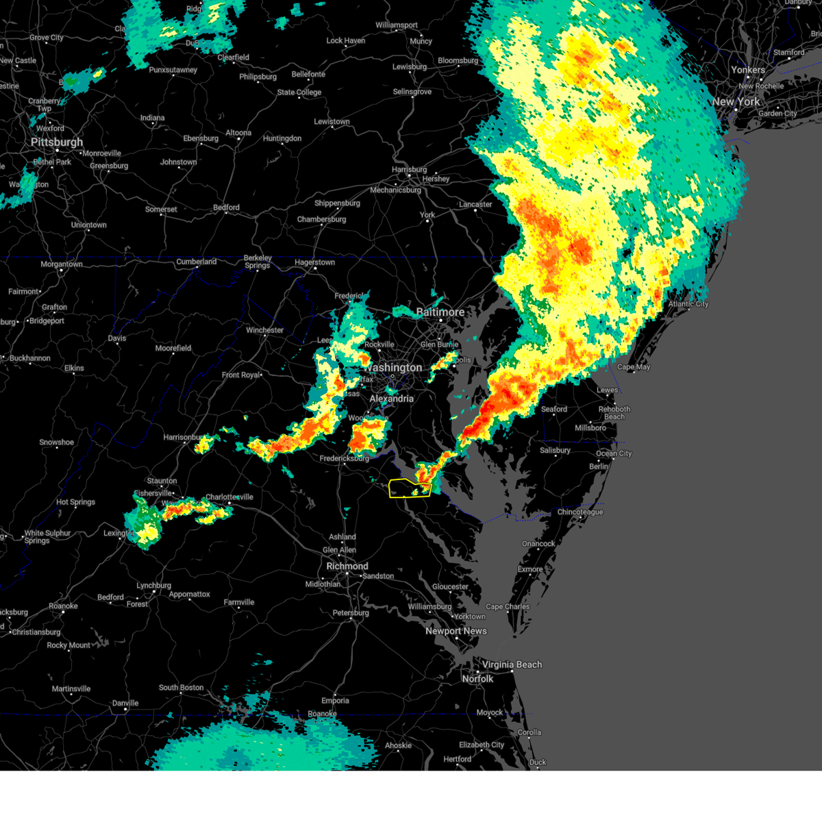
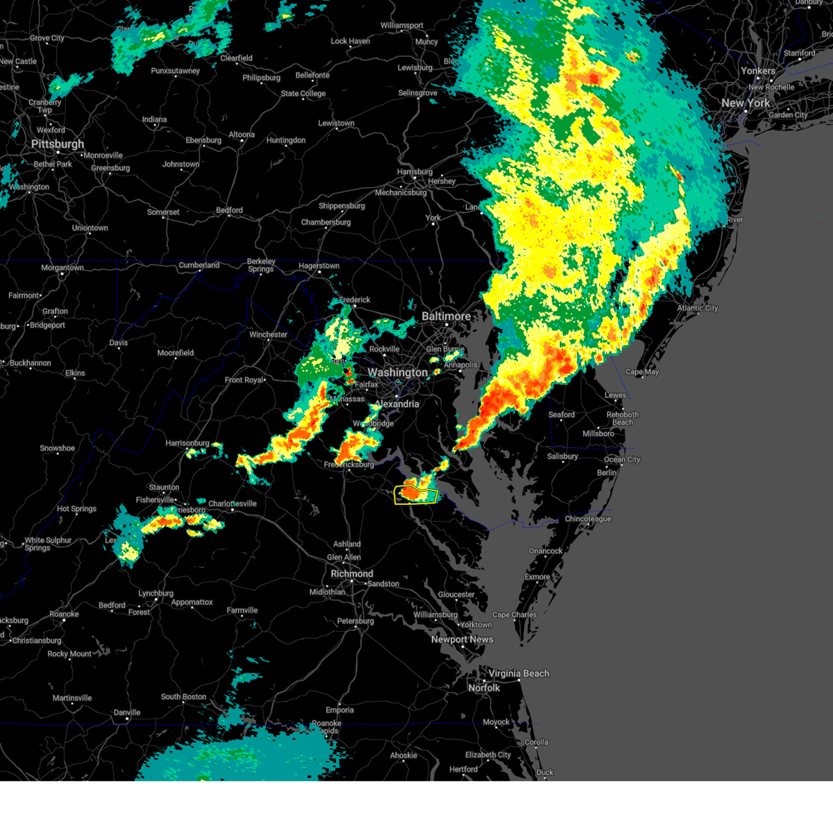
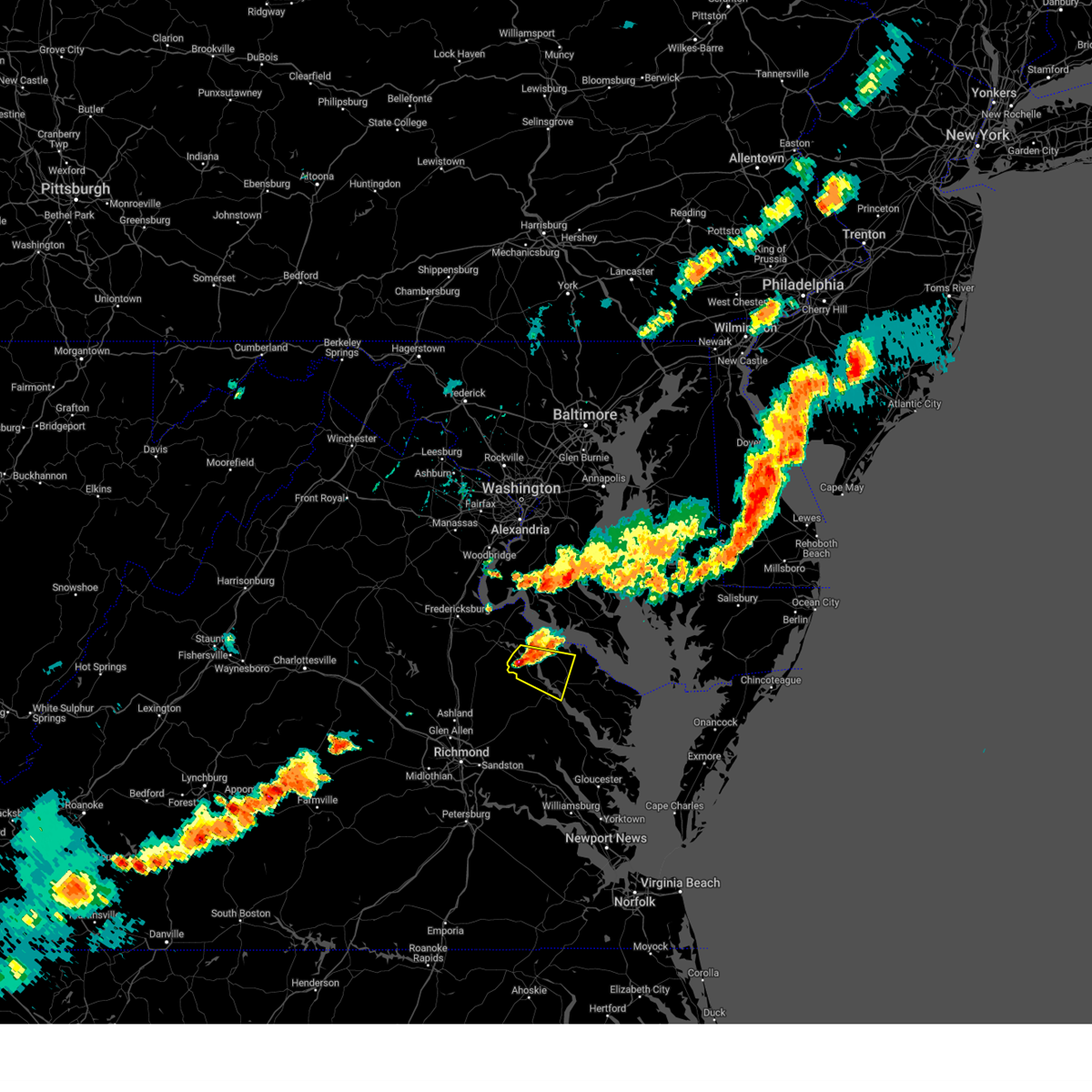
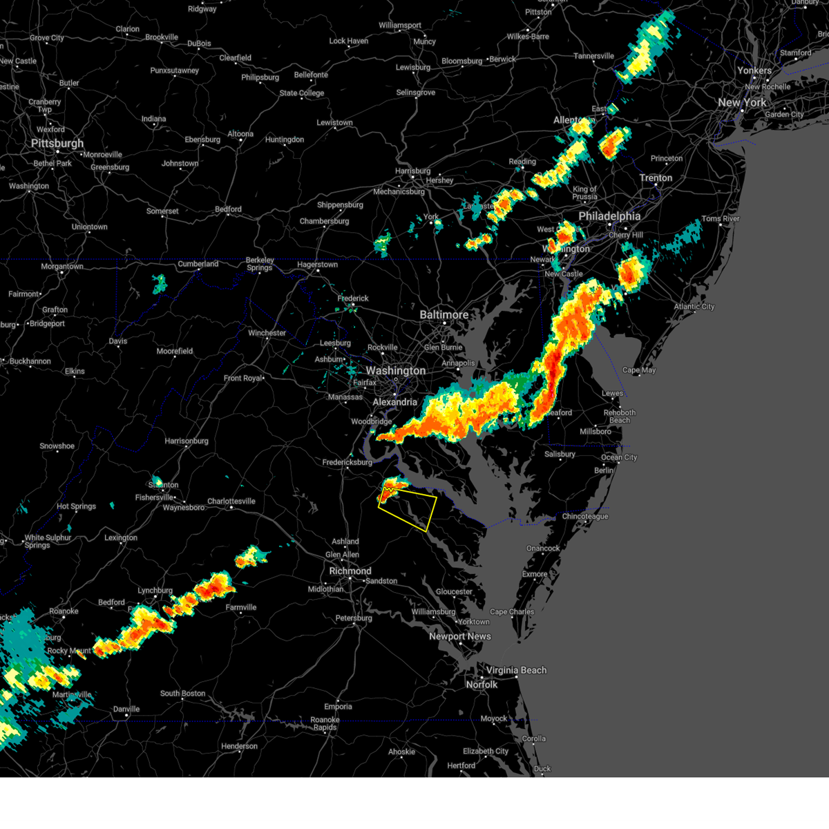
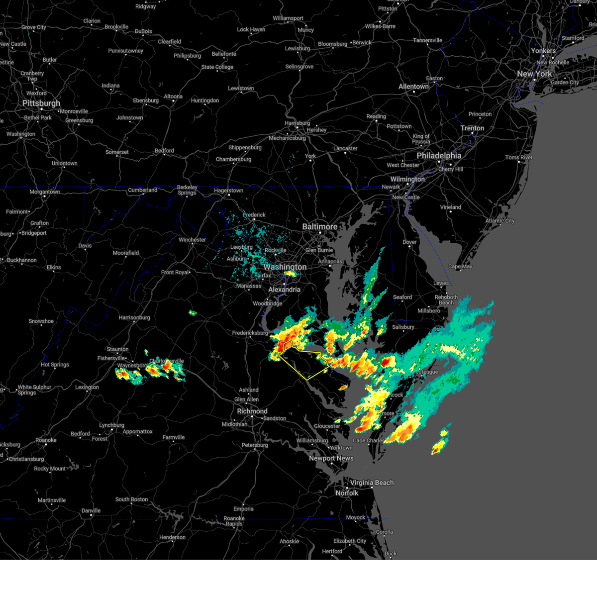
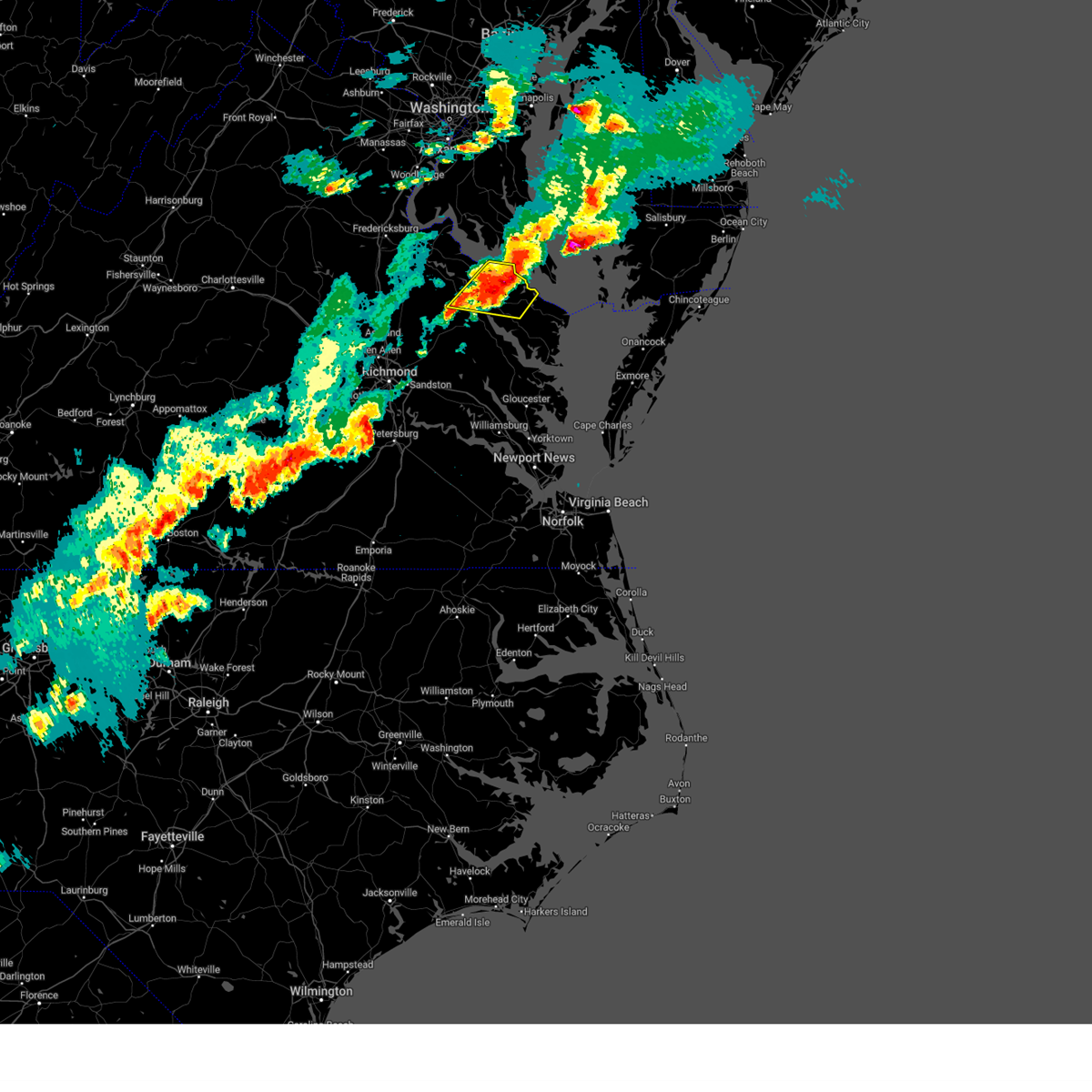
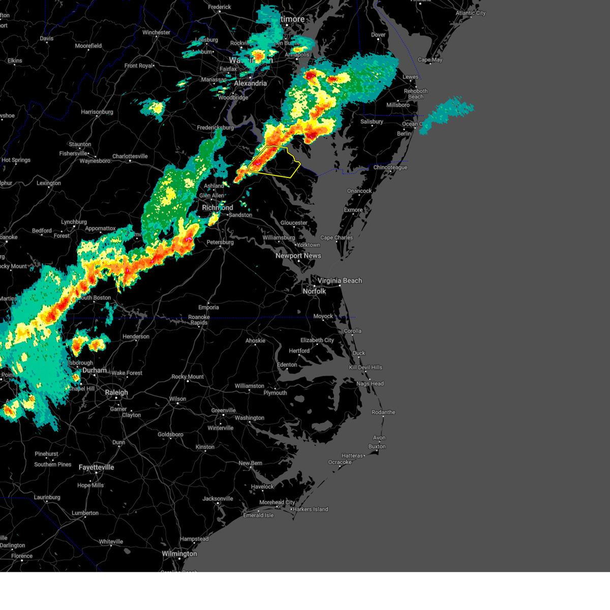
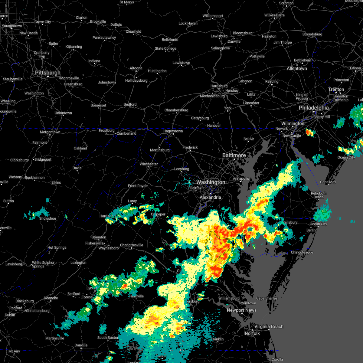
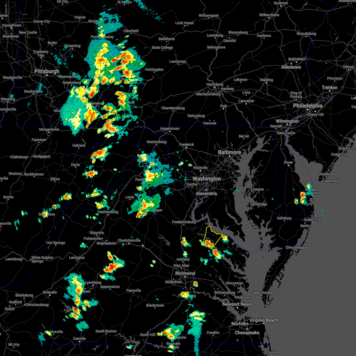
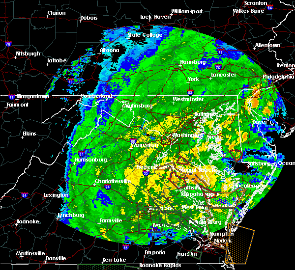
Hail Map for Montross, VA
The Montross, VA area has had 1 report of on-the-ground hail by trained spotters, and has been under severe weather warnings 22 times during the past 12 months. Doppler radar has detected hail at or near Montross, VA on 34 occasions, including 3 occasions during the past year.
| Name: | Montross, VA |
| Where Located: | 60.6 miles NE of Richmond, VA |
| Map: | Google Map for Montross, VA |
| Population: | 384 |
| Housing Units: | 207 |
| More Info: | Search Google for Montross, VA |
0
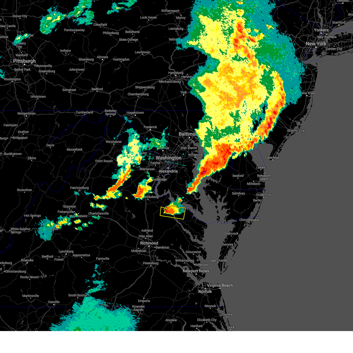
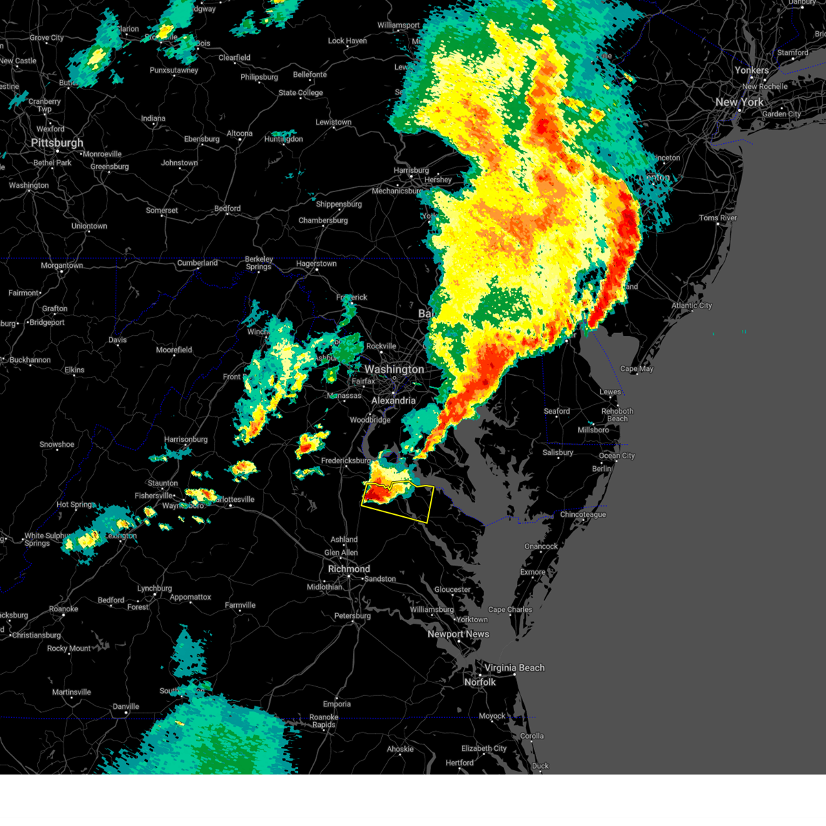
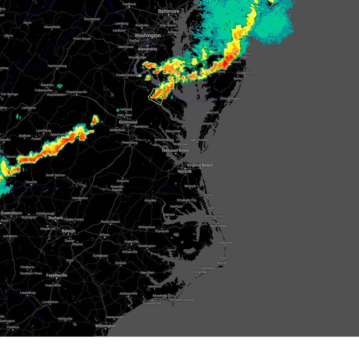
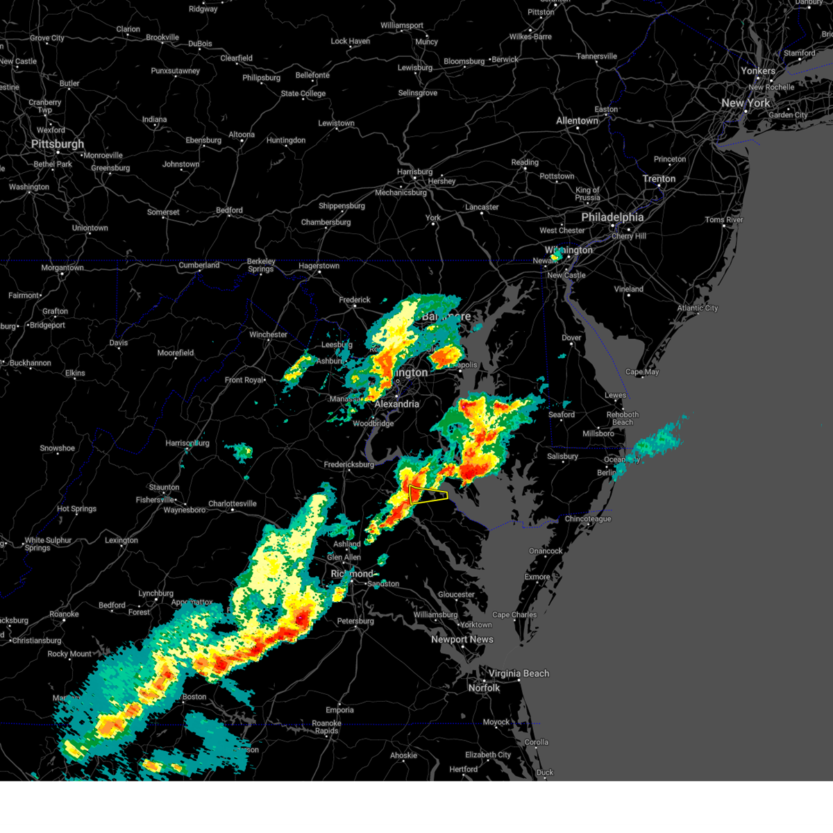
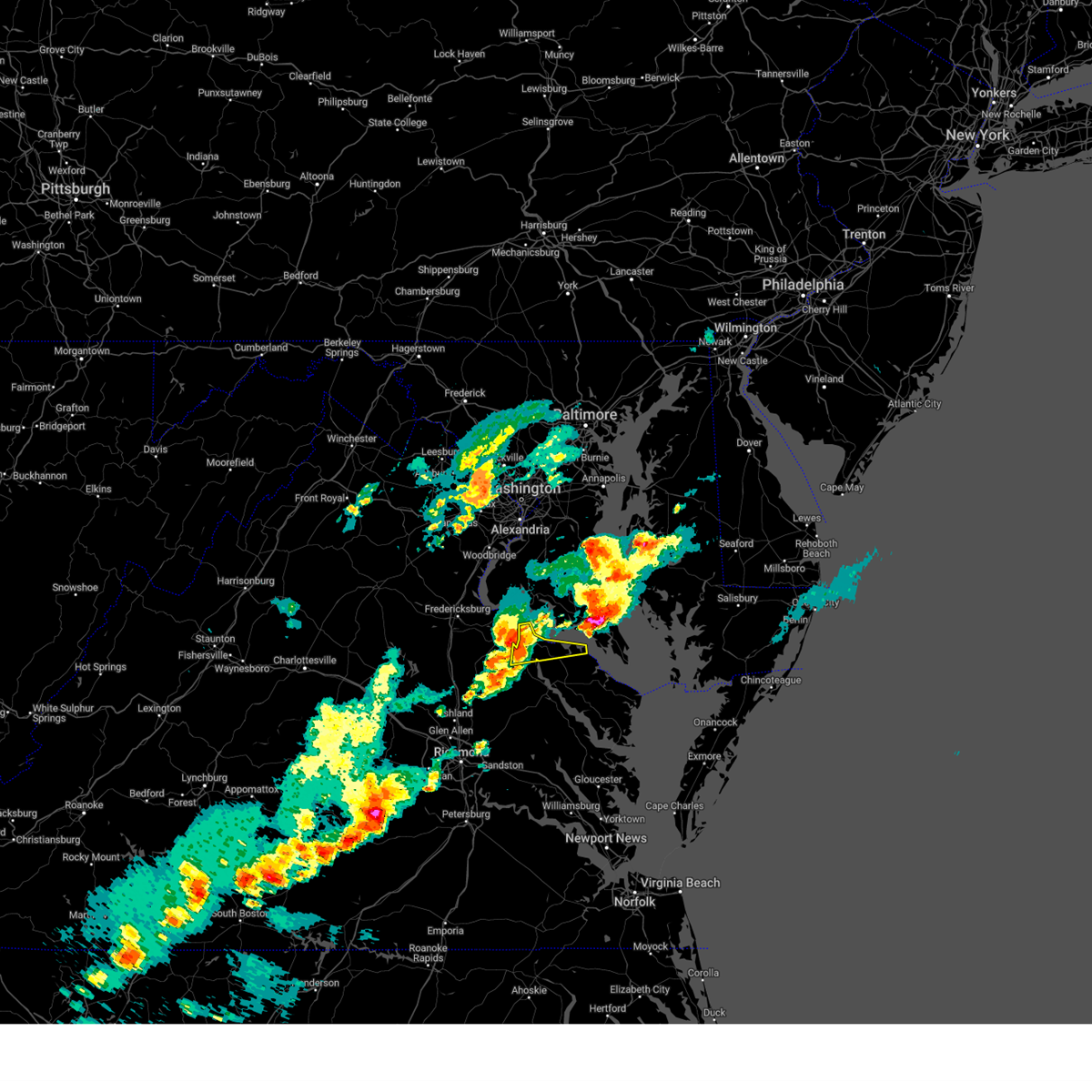
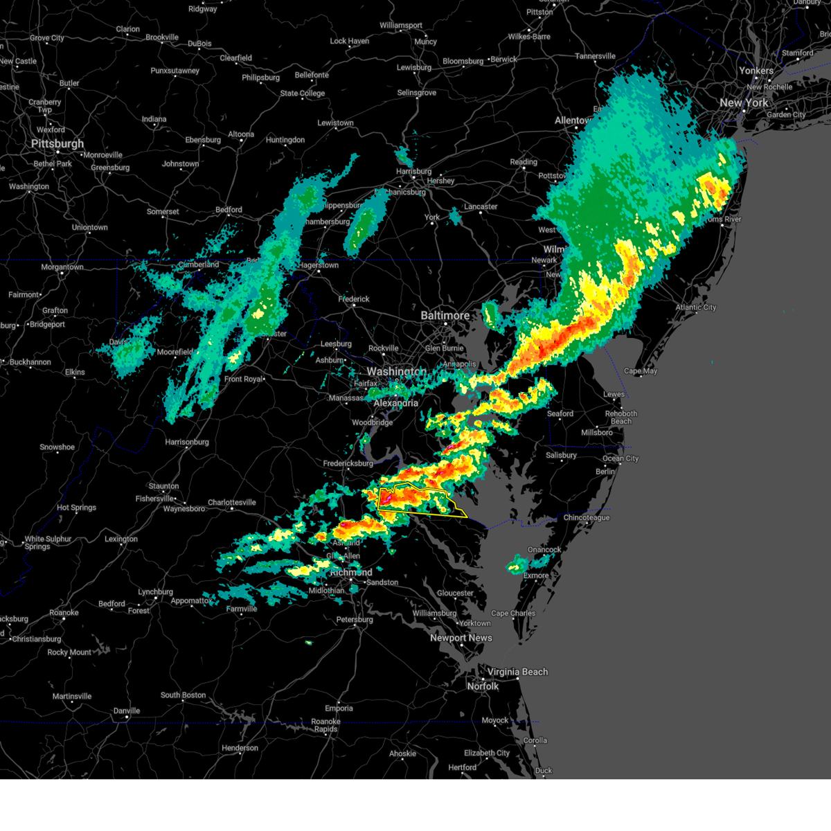
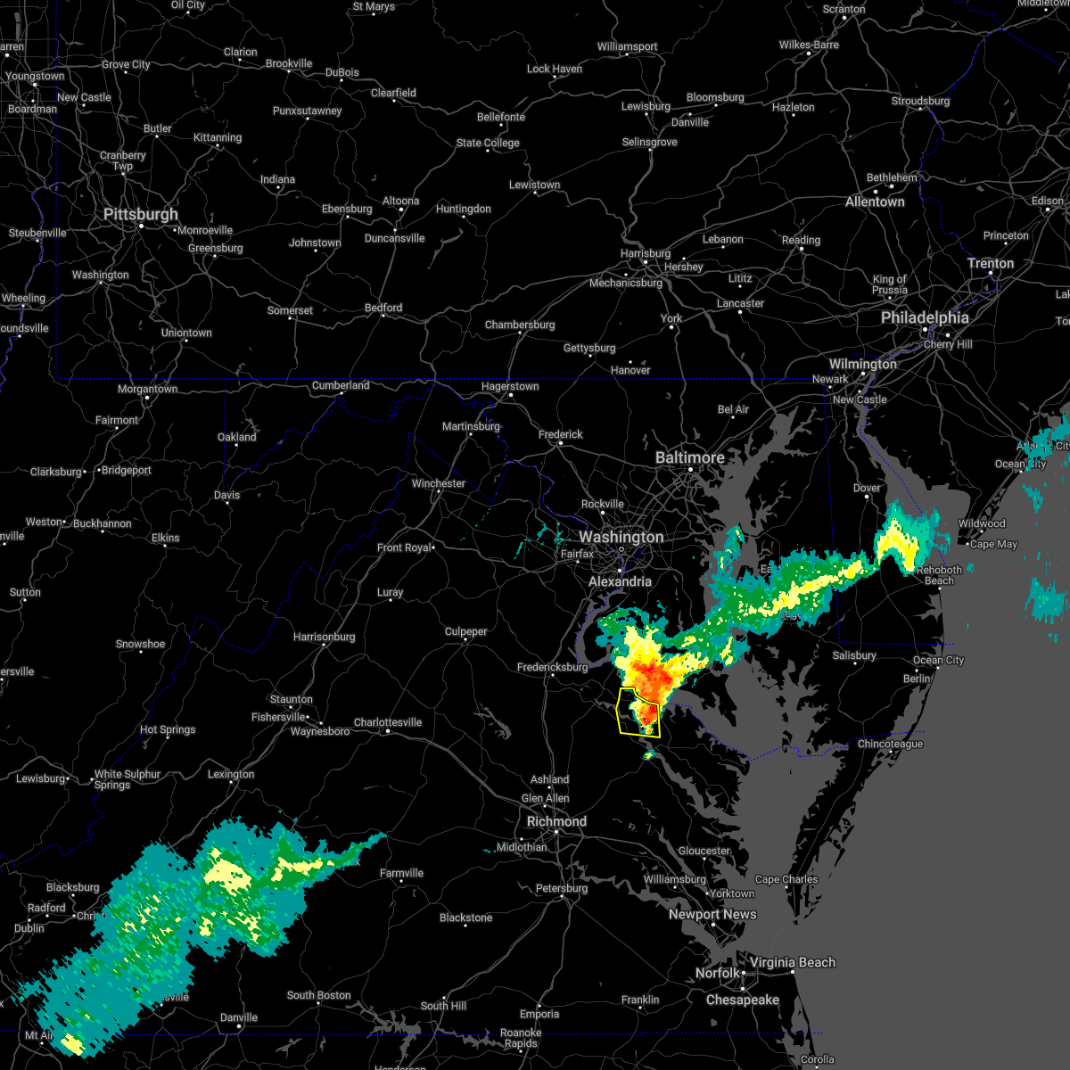
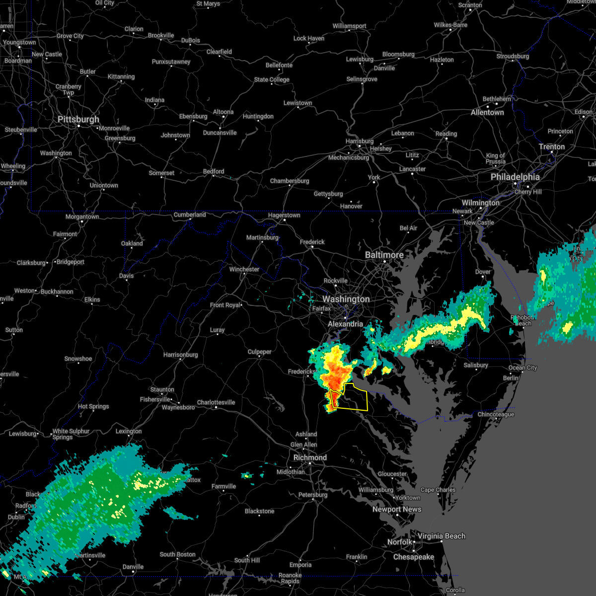
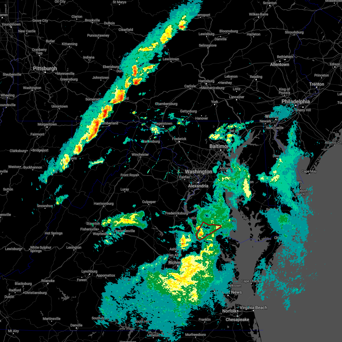
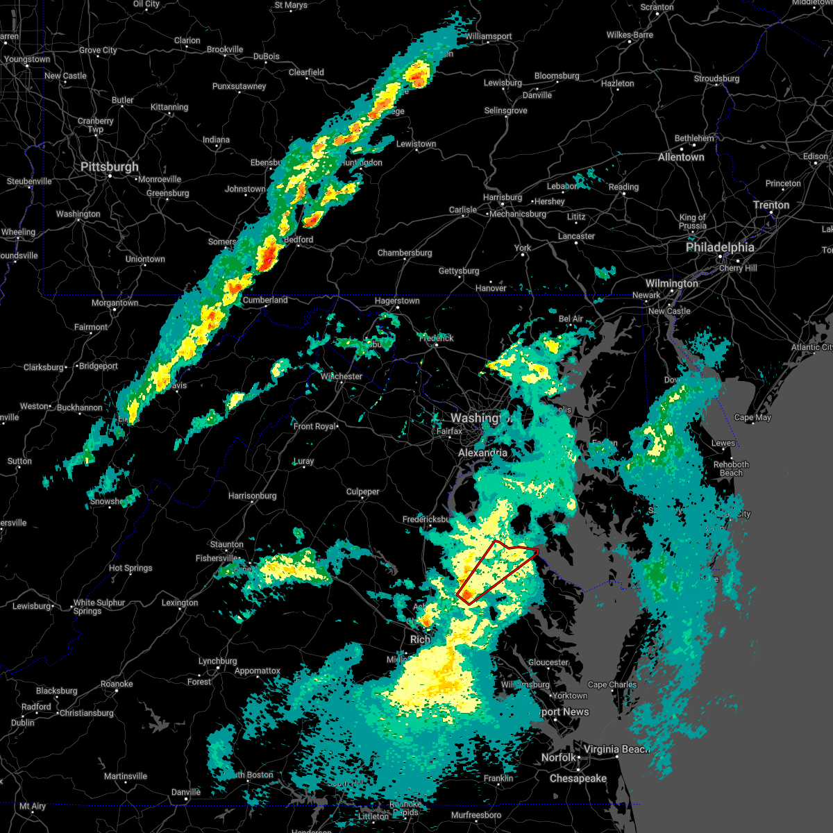
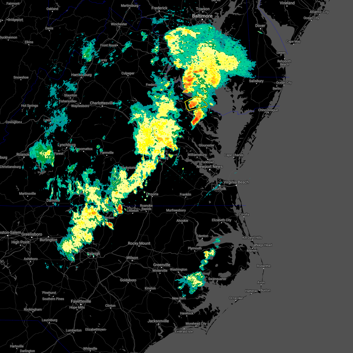
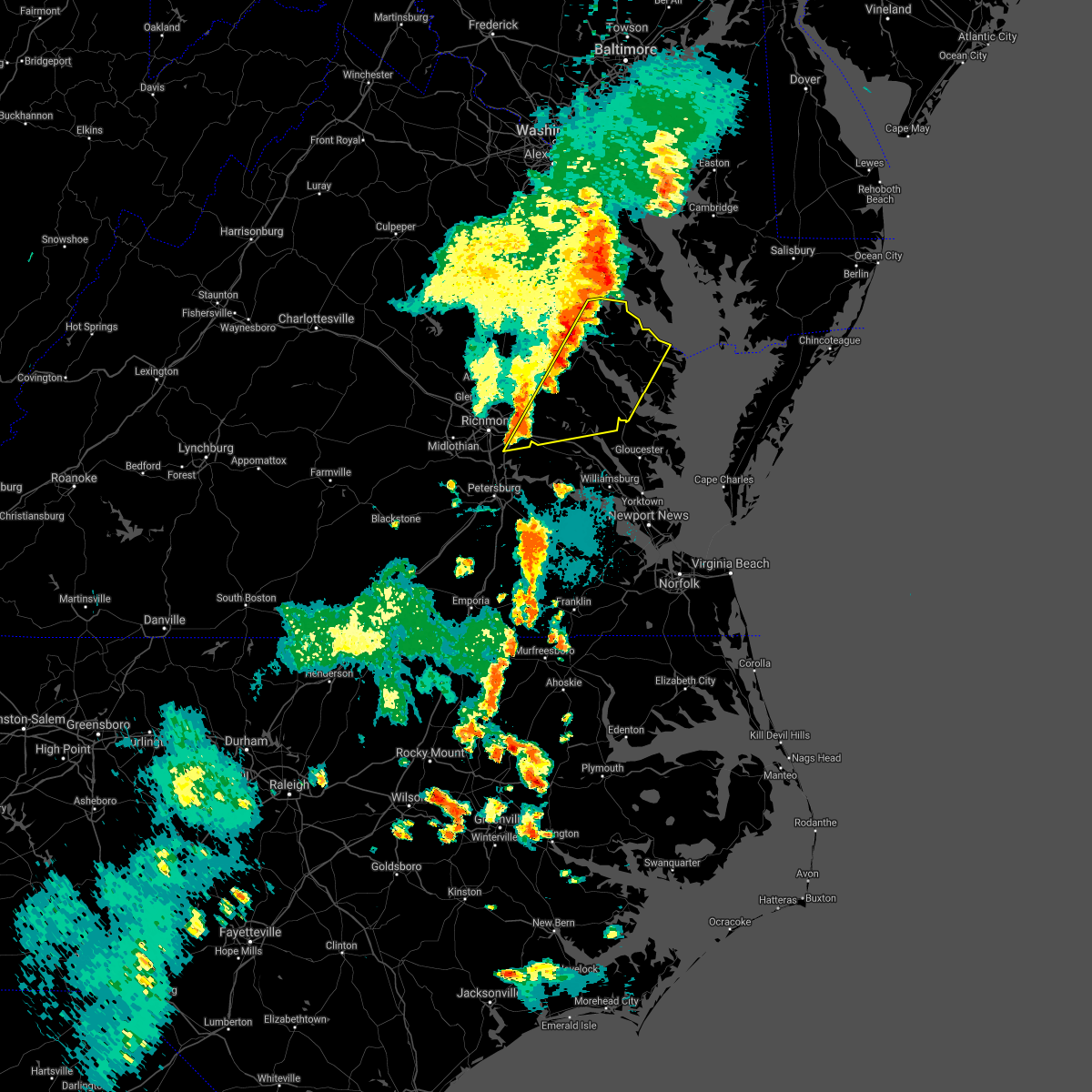
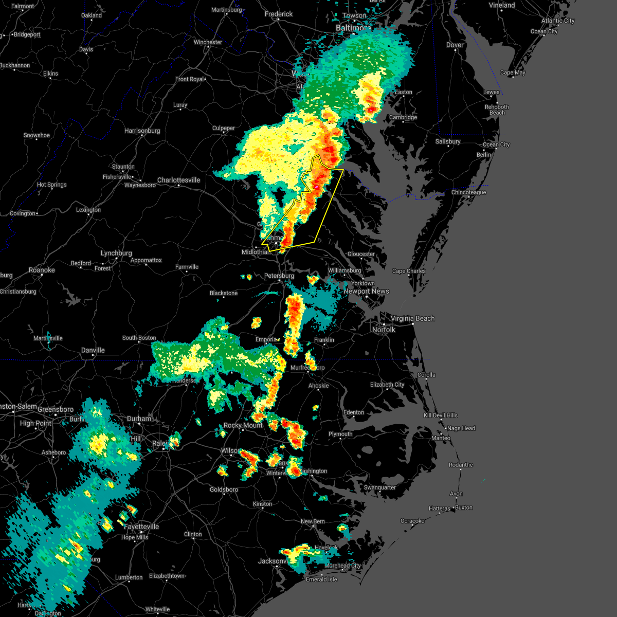
The Top Recent Hail Date for Montross, VA is Monday, April 15, 2024 (17th out of 34)

Hail and Wind Damage Spotted near Montross, VA
| Date / Time | Report Details |
|---|---|
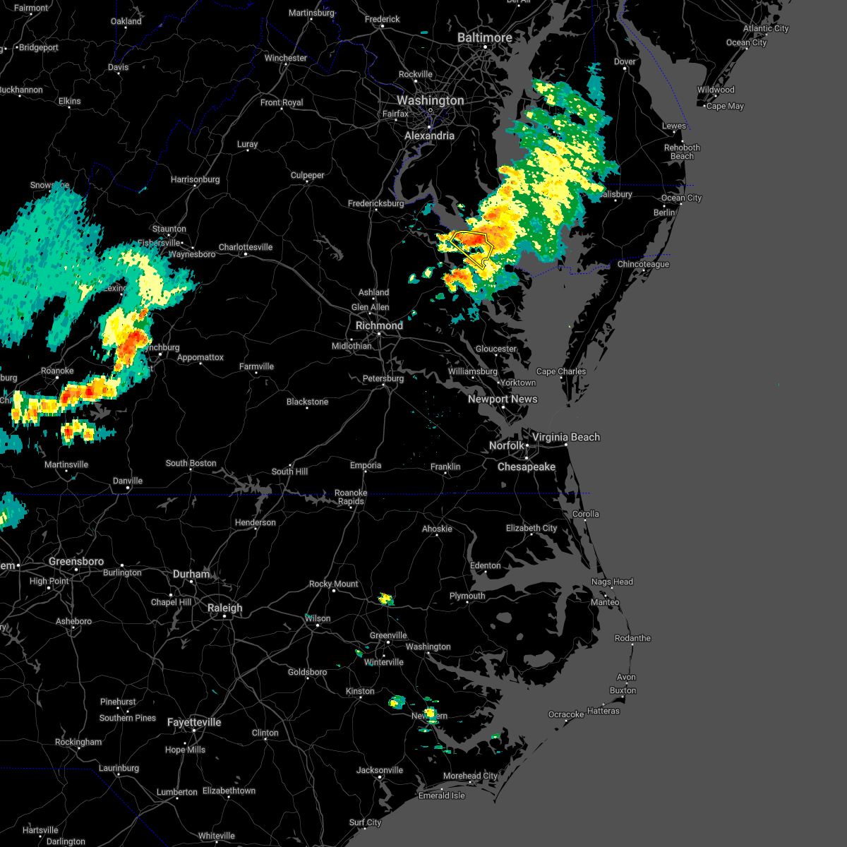
| 4/15/2024 6:05 PM EDT |
 At 604 pm edt, severe thunderstorms were located along a line extending from near leedstown to near loretto to near bowling green, moving southeast at 35 mph (radar indicated). Hazards include 60 mph wind gusts and quarter size hail. Minor damage to vehicles is possible. expect wind damage to trees and powerlines. these severe storms will be near, montross, champlain, and newland around 610 pm edt. Other locations impacted by these severe thunderstorms include rappahannock academy, lerty, beazley, sparta, hustle, rollins fork, elevon, oak grove, supply, and singerly. At 604 pm edt, severe thunderstorms were located along a line extending from near leedstown to near loretto to near bowling green, moving southeast at 35 mph (radar indicated). Hazards include 60 mph wind gusts and quarter size hail. Minor damage to vehicles is possible. expect wind damage to trees and powerlines. these severe storms will be near, montross, champlain, and newland around 610 pm edt. Other locations impacted by these severe thunderstorms include rappahannock academy, lerty, beazley, sparta, hustle, rollins fork, elevon, oak grove, supply, and singerly.
|
| 4/15/2024 5:35 PM EDT |
 Svrakq the national weather service in wakefield has issued a * severe thunderstorm warning for, northumberland county in eastern virginia, eastern richmond county in east central virginia, westmoreland county in east central virginia, lancaster county in eastern virginia, * until 615 pm edt. * at 535 pm edt, a severe thunderstorm was located near hague, or near montross, moving southeast at 30 mph (radar indicated). Hazards include 60 mph wind gusts and quarter size hail. Minor damage to vehicles is possible. expect wind damage to trees and powerlines. this severe thunderstorm will be near, hague around 540 pm edt. haynesville around 545 pm edt. callao around 550 pm edt. farnham around 555 pm edt. robley around 605 pm edt. Other locations impacted by this severe thunderstorm include currioman landing, lottsburg, threeway, regina, mollusk, senora, avalon, brook vale, mount holly, and nuttsville. Svrakq the national weather service in wakefield has issued a * severe thunderstorm warning for, northumberland county in eastern virginia, eastern richmond county in east central virginia, westmoreland county in east central virginia, lancaster county in eastern virginia, * until 615 pm edt. * at 535 pm edt, a severe thunderstorm was located near hague, or near montross, moving southeast at 30 mph (radar indicated). Hazards include 60 mph wind gusts and quarter size hail. Minor damage to vehicles is possible. expect wind damage to trees and powerlines. this severe thunderstorm will be near, hague around 540 pm edt. haynesville around 545 pm edt. callao around 550 pm edt. farnham around 555 pm edt. robley around 605 pm edt. Other locations impacted by this severe thunderstorm include currioman landing, lottsburg, threeway, regina, mollusk, senora, avalon, brook vale, mount holly, and nuttsville.
|
| 4/15/2024 5:24 PM EDT |
 Svrakq the national weather service in wakefield has issued a * severe thunderstorm warning for, northwestern king and queen county in east central virginia, northwestern richmond county in east central virginia, caroline county in north central virginia, western westmoreland county in east central virginia, essex county in east central virginia, * until 615 pm edt. * at 524 pm edt, severe thunderstorms were located along a line extending from near fairview beach to 7 miles southeast of fredericksburg to near spotsylvania, moving southeast at 35 mph (radar indicated). Hazards include 60 mph wind gusts and half dollar size hail. Minor damage to vehicles is possible. expect wind damage to trees and powerlines. severe thunderstorms will be near, port royal around 535 pm edt. fort walker around 540 pm edt. bowling green around 545 pm edt. milford, loretto, and leedstown around 550 pm edt. champlain around 600 pm edt. Other locations impacted by these severe thunderstorms include beazley, hustle, guinea, corbin, elevon, supply, penola, nancy wrights corner, mount landing, and piney grove. Svrakq the national weather service in wakefield has issued a * severe thunderstorm warning for, northwestern king and queen county in east central virginia, northwestern richmond county in east central virginia, caroline county in north central virginia, western westmoreland county in east central virginia, essex county in east central virginia, * until 615 pm edt. * at 524 pm edt, severe thunderstorms were located along a line extending from near fairview beach to 7 miles southeast of fredericksburg to near spotsylvania, moving southeast at 35 mph (radar indicated). Hazards include 60 mph wind gusts and half dollar size hail. Minor damage to vehicles is possible. expect wind damage to trees and powerlines. severe thunderstorms will be near, port royal around 535 pm edt. fort walker around 540 pm edt. bowling green around 545 pm edt. milford, loretto, and leedstown around 550 pm edt. champlain around 600 pm edt. Other locations impacted by these severe thunderstorms include beazley, hustle, guinea, corbin, elevon, supply, penola, nancy wrights corner, mount landing, and piney grove.
|
| 4/15/2024 5:21 PM EDT |
 At 521 pm edt, severe thunderstorms were located along a line extending from tall timbers to near port royal, moving southeast at 30 mph (radar indicated). Hazards include 60 mph wind gusts and half dollar size hail. Minor damage to vehicles is possible. expect wind damage to trees and powerlines. these severe storms will be near, montross, coles point, and leedstown around 525 pm edt. hague around 530 pm edt. newland around 535 pm edt. kinsale around 540 pm edt. Other locations impacted by these severe thunderstorms include lerty, ethel, currioman landing, threeway, potomac beach, oak grove, singerly, mount holly, peeds, and foneswood. At 521 pm edt, severe thunderstorms were located along a line extending from tall timbers to near port royal, moving southeast at 30 mph (radar indicated). Hazards include 60 mph wind gusts and half dollar size hail. Minor damage to vehicles is possible. expect wind damage to trees and powerlines. these severe storms will be near, montross, coles point, and leedstown around 525 pm edt. hague around 530 pm edt. newland around 535 pm edt. kinsale around 540 pm edt. Other locations impacted by these severe thunderstorms include lerty, ethel, currioman landing, threeway, potomac beach, oak grove, singerly, mount holly, peeds, and foneswood.
|
| 4/15/2024 5:21 PM EDT |
 the severe thunderstorm warning has been cancelled and is no longer in effect the severe thunderstorm warning has been cancelled and is no longer in effect
|
| 4/15/2024 5:04 PM EDT |
 the severe thunderstorm warning has been cancelled and is no longer in effect the severe thunderstorm warning has been cancelled and is no longer in effect
|
| 4/15/2024 5:04 PM EDT |
 At 503 pm edt, severe thunderstorms were located along a line extending from white point beach to near king george, moving southeast at 30 mph (radar indicated). Hazards include 60 mph wind gusts and half dollar size hail. Minor damage to vehicles is possible. expect wind damage to trees and powerlines. these severe storms will be near, coles point around 510 pm edt. montross and leedstown around 520 pm edt. hague and loretto around 525 pm edt. newland around 530 pm edt. Other locations impacted by these severe thunderstorms include currioman landing, threeway, hustle, potomac beach, elevon, supply, mount holly, stratford hall, lyells, and westmoreland. At 503 pm edt, severe thunderstorms were located along a line extending from white point beach to near king george, moving southeast at 30 mph (radar indicated). Hazards include 60 mph wind gusts and half dollar size hail. Minor damage to vehicles is possible. expect wind damage to trees and powerlines. these severe storms will be near, coles point around 510 pm edt. montross and leedstown around 520 pm edt. hague and loretto around 525 pm edt. newland around 530 pm edt. Other locations impacted by these severe thunderstorms include currioman landing, threeway, hustle, potomac beach, elevon, supply, mount holly, stratford hall, lyells, and westmoreland.
|
| 4/15/2024 4:49 PM EDT |
 Svrakq the national weather service in wakefield has issued a * severe thunderstorm warning for, northwestern richmond county in east central virginia, northeastern caroline county in north central virginia, westmoreland county in east central virginia, northwestern essex county in east central virginia, * until 530 pm edt. * at 447 pm edt, severe thunderstorms were located along a line extending from 6 miles west of leonardtown to near potomac creek, moving southeast at 30 mph (radar indicated). Hazards include 60 mph wind gusts and quarter size hail. Minor damage to vehicles is possible. expect wind damage to trees and powerlines. severe thunderstorms will be near, colonial beach around 450 pm edt. port royal around 505 pm edt. coles point around 510 pm edt. montross and leedstown around 520 pm edt. Other locations impacted by these severe thunderstorms include currioman landing, threeway, hustle, potomac beach, elevon, supply, mount holly, stratford hall, lyells, and westmoreland. Svrakq the national weather service in wakefield has issued a * severe thunderstorm warning for, northwestern richmond county in east central virginia, northeastern caroline county in north central virginia, westmoreland county in east central virginia, northwestern essex county in east central virginia, * until 530 pm edt. * at 447 pm edt, severe thunderstorms were located along a line extending from 6 miles west of leonardtown to near potomac creek, moving southeast at 30 mph (radar indicated). Hazards include 60 mph wind gusts and quarter size hail. Minor damage to vehicles is possible. expect wind damage to trees and powerlines. severe thunderstorms will be near, colonial beach around 450 pm edt. port royal around 505 pm edt. coles point around 510 pm edt. montross and leedstown around 520 pm edt. Other locations impacted by these severe thunderstorms include currioman landing, threeway, hustle, potomac beach, elevon, supply, mount holly, stratford hall, lyells, and westmoreland.
|
| 4/3/2024 4:26 PM EDT |
 the severe thunderstorm warning has been cancelled and is no longer in effect the severe thunderstorm warning has been cancelled and is no longer in effect
|
| 4/3/2024 3:55 PM EDT |
 Svrakq the national weather service in wakefield has issued a * severe thunderstorm warning for, northumberland county in eastern virginia, richmond county in east central virginia, westmoreland county in east central virginia, eastern essex county in east central virginia, * until 445 pm edt. * at 355 pm edt, severe thunderstorms were located along a line extending from near montross to warsaw to near center cross, moving east at 75 mph (radar indicated). Hazards include 60 mph wind gusts and quarter size hail. Minor damage to vehicles is possible. expect wind damage to trees and powerlines. severe thunderstorms will be near, montross, callao, robley, haynesville, hague, coles point, kinsale, and farnham around 400 pm edt. lewisetta and heathsville around 405 pm edt. Other locations impacted by these severe thunderstorms include currioman landing, lottsburg, threeway, avalon, mount holly, edwardsville, stratford hall, tidewater, lyells, and middletons corner. Svrakq the national weather service in wakefield has issued a * severe thunderstorm warning for, northumberland county in eastern virginia, richmond county in east central virginia, westmoreland county in east central virginia, eastern essex county in east central virginia, * until 445 pm edt. * at 355 pm edt, severe thunderstorms were located along a line extending from near montross to warsaw to near center cross, moving east at 75 mph (radar indicated). Hazards include 60 mph wind gusts and quarter size hail. Minor damage to vehicles is possible. expect wind damage to trees and powerlines. severe thunderstorms will be near, montross, callao, robley, haynesville, hague, coles point, kinsale, and farnham around 400 pm edt. lewisetta and heathsville around 405 pm edt. Other locations impacted by these severe thunderstorms include currioman landing, lottsburg, threeway, avalon, mount holly, edwardsville, stratford hall, tidewater, lyells, and middletons corner.
|
| 4/3/2024 3:39 PM EDT |
 At 338 pm edt, severe thunderstorms were located along a line extending from near loretto to 6 miles east of newtown to near millers tavern, moving northeast at 60 mph (radar indicated). Hazards include 60 mph wind gusts and quarter size hail. Minor damage to vehicles is possible. expect wind damage to trees and powerlines. these severe storms will be near, tappahannock, champlain, dunnsville, newland, leedstown, and center cross around 345 pm edt. warsaw, montross, and sharps around 350 pm edt. Other locations impacted by these severe thunderstorms include beazley, threeway, hustle, elevon, upright, biscoe, tidewater, lyells, crouch, and kennard. At 338 pm edt, severe thunderstorms were located along a line extending from near loretto to 6 miles east of newtown to near millers tavern, moving northeast at 60 mph (radar indicated). Hazards include 60 mph wind gusts and quarter size hail. Minor damage to vehicles is possible. expect wind damage to trees and powerlines. these severe storms will be near, tappahannock, champlain, dunnsville, newland, leedstown, and center cross around 345 pm edt. warsaw, montross, and sharps around 350 pm edt. Other locations impacted by these severe thunderstorms include beazley, threeway, hustle, elevon, upright, biscoe, tidewater, lyells, crouch, and kennard.
|
| 4/3/2024 3:28 PM EDT |
 At 328 pm edt, severe thunderstorms were located along a line extending from 6 miles northwest of newtown to near beulahville to manquin, moving northeast at 60 mph (radar indicated). Hazards include 60 mph wind gusts and quarter size hail. Minor damage to vehicles is possible. expect wind damage to trees and powerlines. these severe storms will be near, champlain, saint stephens church, millers tavern, and loretto around 335 pm edt. tappahannock and leedstown around 340 pm edt. warsaw, montross, dunnsville, and newland around 345 pm edt. center cross around 350 pm edt. Other locations impacted by these severe thunderstorms include beazley, threeway, hustle, elevon, upright, biscoe, tidewater, lyells, crouch, and kennard. At 328 pm edt, severe thunderstorms were located along a line extending from 6 miles northwest of newtown to near beulahville to manquin, moving northeast at 60 mph (radar indicated). Hazards include 60 mph wind gusts and quarter size hail. Minor damage to vehicles is possible. expect wind damage to trees and powerlines. these severe storms will be near, champlain, saint stephens church, millers tavern, and loretto around 335 pm edt. tappahannock and leedstown around 340 pm edt. warsaw, montross, dunnsville, and newland around 345 pm edt. center cross around 350 pm edt. Other locations impacted by these severe thunderstorms include beazley, threeway, hustle, elevon, upright, biscoe, tidewater, lyells, crouch, and kennard.
|
| 4/3/2024 3:19 PM EDT |
 Svrakq the national weather service in wakefield has issued a * severe thunderstorm warning for, northwestern king and queen county in east central virginia, richmond county in east central virginia, east central caroline county in north central virginia, southwestern westmoreland county in east central virginia, essex county in east central virginia, * until 400 pm edt. * at 318 pm edt, severe thunderstorms were located along a line extending from 6 miles north of dawn to near mangohick to near studley, moving northeast at 60 mph (radar indicated). Hazards include 60 mph wind gusts and quarter size hail. Minor damage to vehicles is possible. expect wind damage to trees and powerlines. severe thunderstorms will be near, saint stephens church and newtown around 325 pm edt. champlain, millers tavern, loretto, and leedstown around 335 pm edt. tappahannock and newland around 340 pm edt. warsaw, montross, dunnsville, and center cross around 345 pm edt. Other locations impacted by these severe thunderstorms include beazley, threeway, hustle, elevon, upright, biscoe, tidewater, lyells, crouch, and kennard. Svrakq the national weather service in wakefield has issued a * severe thunderstorm warning for, northwestern king and queen county in east central virginia, richmond county in east central virginia, east central caroline county in north central virginia, southwestern westmoreland county in east central virginia, essex county in east central virginia, * until 400 pm edt. * at 318 pm edt, severe thunderstorms were located along a line extending from 6 miles north of dawn to near mangohick to near studley, moving northeast at 60 mph (radar indicated). Hazards include 60 mph wind gusts and quarter size hail. Minor damage to vehicles is possible. expect wind damage to trees and powerlines. severe thunderstorms will be near, saint stephens church and newtown around 325 pm edt. champlain, millers tavern, loretto, and leedstown around 335 pm edt. tappahannock and newland around 340 pm edt. warsaw, montross, dunnsville, and center cross around 345 pm edt. Other locations impacted by these severe thunderstorms include beazley, threeway, hustle, elevon, upright, biscoe, tidewater, lyells, crouch, and kennard.
|
| 1/9/2024 7:28 PM EST |
 At 728 pm est, severe thunderstorms were located along a line extending from near tappahannock to near new kent to adkins store, moving east at 30 mph (radar indicated). Hazards include 60 mph wind gusts. Expect damage to trees and powerlines. severe thunderstorms will be near, new kent, charles city, warsaw, king and queen court house, dunnsville, ruthville, and center cross around 735 pm est. west point, haynesville, holdcroft, sharps, and little plymouth around 740 pm est. jamaica, farnham, and barhamsville around 745 pm est. toano, church view, morattico, and shacklefords around 750 pm est. robley and norge around 755 pm est. Other locations impacted by these severe thunderstorms include eltham, currioman landing, threeway, croaker, wayside, belle isle state park, rose garden, lyells, crouch, and westmoreland. At 728 pm est, severe thunderstorms were located along a line extending from near tappahannock to near new kent to adkins store, moving east at 30 mph (radar indicated). Hazards include 60 mph wind gusts. Expect damage to trees and powerlines. severe thunderstorms will be near, new kent, charles city, warsaw, king and queen court house, dunnsville, ruthville, and center cross around 735 pm est. west point, haynesville, holdcroft, sharps, and little plymouth around 740 pm est. jamaica, farnham, and barhamsville around 745 pm est. toano, church view, morattico, and shacklefords around 750 pm est. robley and norge around 755 pm est. Other locations impacted by these severe thunderstorms include eltham, currioman landing, threeway, croaker, wayside, belle isle state park, rose garden, lyells, crouch, and westmoreland.
|
| 8/7/2023 7:54 PM EDT |
 The severe thunderstorm warning for northwestern richmond, west central westmoreland and north central essex counties will expire at 800 pm edt, the storm which prompted the warning has moved out of the area. therefore, the warning will be allowed to expire. a tornado watch remains in effect until 900 pm edt for east central virginia. The severe thunderstorm warning for northwestern richmond, west central westmoreland and north central essex counties will expire at 800 pm edt, the storm which prompted the warning has moved out of the area. therefore, the warning will be allowed to expire. a tornado watch remains in effect until 900 pm edt for east central virginia.
|
| 8/7/2023 7:40 PM EDT |
 At 740 pm edt, a severe thunderstorm was located over leedstown, or 7 miles north of champlain, moving east at 35 mph (radar indicated). Hazards include 60 mph wind gusts and quarter size hail. Minor damage to vehicles is possible. expect wind damage to trees and powerlines. this severe storm will be near, montross around 745 pm edt. other locations impacted by this severe thunderstorm include lerty, stratford hall, currioman landing, potomac mills, oak grove, singerly, mount holly, peeds, foneswood, and westmoreland state. hail threat, radar indicated max hail size, 1. 00 in wind threat, radar indicated max wind gust, 60 mph. At 740 pm edt, a severe thunderstorm was located over leedstown, or 7 miles north of champlain, moving east at 35 mph (radar indicated). Hazards include 60 mph wind gusts and quarter size hail. Minor damage to vehicles is possible. expect wind damage to trees and powerlines. this severe storm will be near, montross around 745 pm edt. other locations impacted by this severe thunderstorm include lerty, stratford hall, currioman landing, potomac mills, oak grove, singerly, mount holly, peeds, foneswood, and westmoreland state. hail threat, radar indicated max hail size, 1. 00 in wind threat, radar indicated max wind gust, 60 mph.
|
| 8/7/2023 7:29 PM EDT |
 At 727 pm edt, a severe thunderstorm was located over loretto, or 7 miles northwest of champlain, moving east at 30 mph (radar indicated. at 7:20 pm edt, baseball sized hail was reported between bowling green and port royal). Hazards include tennis ball size hail and 70 mph wind gusts. People and animals outdoors will be injured. expect hail damage to roofs, siding, windows, and vehicles. expect considerable tree damage. wind damage is also likely to mobile homes, roofs, and outbuildings. this severe storm will be near, leedstown around 735 pm edt. montross and newland around 745 pm edt. Other locations impacted by this severe thunderstorm include lerty, ethel, currioman landing, hustle, oak grove, supply, singerly, mount holly, peeds, and foneswood. At 727 pm edt, a severe thunderstorm was located over loretto, or 7 miles northwest of champlain, moving east at 30 mph (radar indicated. at 7:20 pm edt, baseball sized hail was reported between bowling green and port royal). Hazards include tennis ball size hail and 70 mph wind gusts. People and animals outdoors will be injured. expect hail damage to roofs, siding, windows, and vehicles. expect considerable tree damage. wind damage is also likely to mobile homes, roofs, and outbuildings. this severe storm will be near, leedstown around 735 pm edt. montross and newland around 745 pm edt. Other locations impacted by this severe thunderstorm include lerty, ethel, currioman landing, hustle, oak grove, supply, singerly, mount holly, peeds, and foneswood.
|
| 8/7/2023 7:12 PM EDT |
 At 712 pm edt, a severe thunderstorm was located near fort a.p. hill, or near bowling green, moving east at 30 mph (radar indicated). Hazards include two inch hail and 70 mph wind gusts. People and animals outdoors will be injured. expect hail damage to roofs, siding, windows, and vehicles. expect considerable tree damage. wind damage is also likely to mobile homes, roofs, and outbuildings. this severe thunderstorm will be near, loretto around 725 pm edt. champlain around 730 pm edt. newland around 745 pm edt. montross around 750 pm edt. Other locations impacted by this severe thunderstorm include lerty, ethel, currioman landing, hustle, elevon, oak grove, supply, singerly, mount holly, and peeds. At 712 pm edt, a severe thunderstorm was located near fort a.p. hill, or near bowling green, moving east at 30 mph (radar indicated). Hazards include two inch hail and 70 mph wind gusts. People and animals outdoors will be injured. expect hail damage to roofs, siding, windows, and vehicles. expect considerable tree damage. wind damage is also likely to mobile homes, roofs, and outbuildings. this severe thunderstorm will be near, loretto around 725 pm edt. champlain around 730 pm edt. newland around 745 pm edt. montross around 750 pm edt. Other locations impacted by this severe thunderstorm include lerty, ethel, currioman landing, hustle, elevon, oak grove, supply, singerly, mount holly, and peeds.
|
| 7/29/2023 6:46 PM EDT |
 At 645 pm edt, a severe thunderstorm was located near newland, or near warsaw, moving east at 30 mph (radar indicated). Hazards include 60 mph wind gusts. Expect damage to trees and powerlines. locations impacted include, tappahannock, warsaw, montross, champlain, newland, ethel, singerly, mount holly, peeds, foneswood, lyells, naylors beach, mount landing, piney grove, caret, templeman, and kennard. hail threat, radar indicated max hail size, <. 75 in wind threat, radar indicated max wind gust, 60 mph. At 645 pm edt, a severe thunderstorm was located near newland, or near warsaw, moving east at 30 mph (radar indicated). Hazards include 60 mph wind gusts. Expect damage to trees and powerlines. locations impacted include, tappahannock, warsaw, montross, champlain, newland, ethel, singerly, mount holly, peeds, foneswood, lyells, naylors beach, mount landing, piney grove, caret, templeman, and kennard. hail threat, radar indicated max hail size, <. 75 in wind threat, radar indicated max wind gust, 60 mph.
|
| 7/29/2023 6:35 PM EDT | Various large limbs and trees knocked down along us-17. reports from waze ap in essex county VA, 10.2 miles ENE of Montross, VA |
| 7/29/2023 6:28 PM EDT |
 At 627 pm edt, a severe thunderstorm was located over champlain, moving east at 25 mph (radar indicated). Hazards include 60 mph wind gusts and penny size hail. Expect damage to trees and powerlines. locations impacted include, tappahannock, warsaw, montross, champlain, loretto, leedstown, newland, ethel, hustle, singerly, mount holly, peeds, foneswood, chance, lyells, naylors beach, mount landing, piney grove, caret, and templeman. hail threat, radar indicated max hail size, 0. 75 in wind threat, radar indicated max wind gust, 60 mph. At 627 pm edt, a severe thunderstorm was located over champlain, moving east at 25 mph (radar indicated). Hazards include 60 mph wind gusts and penny size hail. Expect damage to trees and powerlines. locations impacted include, tappahannock, warsaw, montross, champlain, loretto, leedstown, newland, ethel, hustle, singerly, mount holly, peeds, foneswood, chance, lyells, naylors beach, mount landing, piney grove, caret, and templeman. hail threat, radar indicated max hail size, 0. 75 in wind threat, radar indicated max wind gust, 60 mph.
|
| 7/29/2023 6:11 PM EDT |
 At 611 pm edt, a severe thunderstorm was located near loretto, or 8 miles northwest of champlain, moving east at 30 mph (radar indicated). Hazards include 60 mph wind gusts and penny size hail. expect damage to trees and powerlines At 611 pm edt, a severe thunderstorm was located near loretto, or 8 miles northwest of champlain, moving east at 30 mph (radar indicated). Hazards include 60 mph wind gusts and penny size hail. expect damage to trees and powerlines
|
| 7/25/2023 9:57 PM EDT |
 At 956 pm edt, severe thunderstorms were located along a line extending from near leedstown to colonial beach, moving southeast at 25 mph (radar indicated). Hazards include 60 mph wind gusts and penny size hail. Expect damage to trees and powerlines. severe thunderstorms will be near, leedstown around 1010 pm edt. newland around 1025 pm edt. montross around 1030 pm edt. coles point around 1040 pm edt. warsaw, hague and kinsale around 1045 pm edt. other locations impacted by these severe thunderstorms include currioman landing, threeway, mount holly, stratford hall, lyells, kennard, westmoreland, erica, piney grove and templeman. hail threat, radar indicated max hail size, 0. 75 in wind threat, radar indicated max wind gust, 60 mph. At 956 pm edt, severe thunderstorms were located along a line extending from near leedstown to colonial beach, moving southeast at 25 mph (radar indicated). Hazards include 60 mph wind gusts and penny size hail. Expect damage to trees and powerlines. severe thunderstorms will be near, leedstown around 1010 pm edt. newland around 1025 pm edt. montross around 1030 pm edt. coles point around 1040 pm edt. warsaw, hague and kinsale around 1045 pm edt. other locations impacted by these severe thunderstorms include currioman landing, threeway, mount holly, stratford hall, lyells, kennard, westmoreland, erica, piney grove and templeman. hail threat, radar indicated max hail size, 0. 75 in wind threat, radar indicated max wind gust, 60 mph.
|
| 4/6/2023 6:59 PM EDT |
 At 659 pm edt, severe thunderstorms were located along a line extending from near tall timbers to hague to near warsaw, moving east at 35 mph (radar indicated). Hazards include 60 mph wind gusts and penny size hail. Expect damage to trees and powerlines. these severe storms will be near, farnham around 715 pm edt. callao and kinsale around 720 pm edt. lewisetta around 730 pm edt. other locations impacted by these severe thunderstorms include wellford, ethel, currioman landing, lottsburg, threeway, village, mount holly, rexburg, oldhams and lyells. hail threat, radar indicated max hail size, 0. 75 in wind threat, radar indicated max wind gust, 60 mph. At 659 pm edt, severe thunderstorms were located along a line extending from near tall timbers to hague to near warsaw, moving east at 35 mph (radar indicated). Hazards include 60 mph wind gusts and penny size hail. Expect damage to trees and powerlines. these severe storms will be near, farnham around 715 pm edt. callao and kinsale around 720 pm edt. lewisetta around 730 pm edt. other locations impacted by these severe thunderstorms include wellford, ethel, currioman landing, lottsburg, threeway, village, mount holly, rexburg, oldhams and lyells. hail threat, radar indicated max hail size, 0. 75 in wind threat, radar indicated max wind gust, 60 mph.
|
| 4/6/2023 6:44 PM EDT |
 At 644 pm edt, severe thunderstorms were located along a line extending from near saint clements bay to montross to near champlain, moving east at 30 mph (radar indicated). Hazards include 60 mph wind gusts and penny size hail. Expect damage to trees and powerlines. severe thunderstorms will be near, coles point around 655 pm edt. hague around 700 pm edt. haynesville around 710 pm edt. kinsale around 720 pm edt. callao around 725 pm edt. lewisetta around 730 pm edt. other locations impacted by these severe thunderstorms include currioman landing, lottsburg, threeway, mount holly, stratford hall, lyells, kennard, westmoreland, mount landing and erica. hail threat, radar indicated max hail size, 0. 75 in wind threat, radar indicated max wind gust, 60 mph. At 644 pm edt, severe thunderstorms were located along a line extending from near saint clements bay to montross to near champlain, moving east at 30 mph (radar indicated). Hazards include 60 mph wind gusts and penny size hail. Expect damage to trees and powerlines. severe thunderstorms will be near, coles point around 655 pm edt. hague around 700 pm edt. haynesville around 710 pm edt. kinsale around 720 pm edt. callao around 725 pm edt. lewisetta around 730 pm edt. other locations impacted by these severe thunderstorms include currioman landing, lottsburg, threeway, mount holly, stratford hall, lyells, kennard, westmoreland, mount landing and erica. hail threat, radar indicated max hail size, 0. 75 in wind threat, radar indicated max wind gust, 60 mph.
|
| 4/6/2023 6:34 PM EDT |
 At 634 pm edt, a severe thunderstorm was located near saint clements bay, moving east at 45 mph (radar indicated). Hazards include 60 mph wind gusts and penny size hail. Expect damage to trees and powerlines. this severe storm will be near, coles point around 645 pm edt. other locations impacted by this severe thunderstorm include lerty, stratford hall, currioman landing, singerly, peeds, erica, foneswood and westmoreland state. hail threat, radar indicated max hail size, 0. 75 in wind threat, radar indicated max wind gust, 60 mph. At 634 pm edt, a severe thunderstorm was located near saint clements bay, moving east at 45 mph (radar indicated). Hazards include 60 mph wind gusts and penny size hail. Expect damage to trees and powerlines. this severe storm will be near, coles point around 645 pm edt. other locations impacted by this severe thunderstorm include lerty, stratford hall, currioman landing, singerly, peeds, erica, foneswood and westmoreland state. hail threat, radar indicated max hail size, 0. 75 in wind threat, radar indicated max wind gust, 60 mph.
|
| 4/6/2023 6:20 PM EDT |
 At 620 pm edt, a severe thunderstorm was located near leedstown, or 7 miles south of colonial beach, moving east at 40 mph (radar indicated). Hazards include 60 mph wind gusts and quarter size hail. Minor damage to vehicles is possible. expect wind damage to trees and powerlines. this severe storm will be near, montross around 630 pm edt. coles point around 650 pm edt. other locations impacted by this severe thunderstorm include lerty, stratford hall, currioman landing, potomac mills, oak grove, singerly, peeds, erica, foneswood and westmoreland state. hail threat, radar indicated max hail size, 1. 00 in wind threat, radar indicated max wind gust, 60 mph. At 620 pm edt, a severe thunderstorm was located near leedstown, or 7 miles south of colonial beach, moving east at 40 mph (radar indicated). Hazards include 60 mph wind gusts and quarter size hail. Minor damage to vehicles is possible. expect wind damage to trees and powerlines. this severe storm will be near, montross around 630 pm edt. coles point around 650 pm edt. other locations impacted by this severe thunderstorm include lerty, stratford hall, currioman landing, potomac mills, oak grove, singerly, peeds, erica, foneswood and westmoreland state. hail threat, radar indicated max hail size, 1. 00 in wind threat, radar indicated max wind gust, 60 mph.
|
| 4/6/2023 6:02 PM EDT | At 601 pm edt, a severe thunderstorm was located over port royal, or 10 miles south of king george, moving east at 45 mph (radar indicated). Hazards include 60 mph wind gusts and quarter size hail. Minor damage to vehicles is possible. expect wind damage to trees and powerlines. this severe thunderstorm will be near, loretto around 610 pm edt. leedstown around 615 pm edt. montross around 625 pm edt. coles point around 640 pm edt. other locations impacted by this severe thunderstorm include lerty, stratford hall, currioman landing, potomac mills, oak grove, supply, singerly, peeds, erica and foneswood. hail threat, radar indicated max hail size, 1. 00 in wind threat, radar indicated max wind gust, 60 mph. |
| 4/1/2023 7:35 PM EDT |
 At 733 pm edt, a severe thunderstorm was located over loretto, or 7 miles northwest of champlain, moving east at 45 mph (radar indicated). Hazards include 60 mph wind gusts and quarter size hail. Minor damage to vehicles is possible. expect wind damage to trees and powerlines. this severe thunderstorm will be near, leedstown around 740 pm edt. montross and newland around 750 pm edt. hague around 800 pm edt. coles point and kinsale around 805 pm edt. other locations impacted by this severe thunderstorm include lerty, ethel, currioman landing, threeway, hustle, oak grove, supply, singerly, mount holly and peeds. hail threat, radar indicated max hail size, 1. 00 in wind threat, radar indicated max wind gust, 60 mph. At 733 pm edt, a severe thunderstorm was located over loretto, or 7 miles northwest of champlain, moving east at 45 mph (radar indicated). Hazards include 60 mph wind gusts and quarter size hail. Minor damage to vehicles is possible. expect wind damage to trees and powerlines. this severe thunderstorm will be near, leedstown around 740 pm edt. montross and newland around 750 pm edt. hague around 800 pm edt. coles point and kinsale around 805 pm edt. other locations impacted by this severe thunderstorm include lerty, ethel, currioman landing, threeway, hustle, oak grove, supply, singerly, mount holly and peeds. hail threat, radar indicated max hail size, 1. 00 in wind threat, radar indicated max wind gust, 60 mph.
|
| 7/25/2022 6:15 PM EDT |
 At 614 pm edt, severe thunderstorms were located along a line extending from near sheridan point to near white point beach to near hague, moving northeast at 30 mph (radar indicated). Hazards include 60 mph wind gusts. Expect damage to trees and powerlines. locations impacted include, tappahannock, warsaw, montross, champlain, newland, coles point, hague, loretto, leedstown, beazley, currioman landing, hustle, elevon, mount holly, stratford hall, lyells, mount landing, erica, piney grove and dunbrooke. hail threat, radar indicated max hail size, <. 75 in wind threat, radar indicated max wind gust, 60 mph. At 614 pm edt, severe thunderstorms were located along a line extending from near sheridan point to near white point beach to near hague, moving northeast at 30 mph (radar indicated). Hazards include 60 mph wind gusts. Expect damage to trees and powerlines. locations impacted include, tappahannock, warsaw, montross, champlain, newland, coles point, hague, loretto, leedstown, beazley, currioman landing, hustle, elevon, mount holly, stratford hall, lyells, mount landing, erica, piney grove and dunbrooke. hail threat, radar indicated max hail size, <. 75 in wind threat, radar indicated max wind gust, 60 mph.
|
| 7/25/2022 6:05 PM EDT | Vdot reports road closed due to several trees in roa in westmoreland county VA, 7.7 miles W of Montross, VA |
| 7/25/2022 5:59 PM EDT |
 At 559 pm edt, severe thunderstorms were located along a line extending from near colonial beach to champlain to near millers tavern, moving east at 35 mph (radar indicated). Hazards include 60 mph wind gusts. Expect damage to trees and powerlines. locations impacted include, tappahannock, colonial beach, warsaw, montross, champlain, saint stephens church, newtown, newland, coles point, hague, loretto, leedstown, beazley, currioman landing, hustle, elevon, mount holly, biscoe, stratford hall, lyells and mount landing. hail threat, radar indicated max hail size, <. 75 in wind threat, radar indicated max wind gust, 60 mph. At 559 pm edt, severe thunderstorms were located along a line extending from near colonial beach to champlain to near millers tavern, moving east at 35 mph (radar indicated). Hazards include 60 mph wind gusts. Expect damage to trees and powerlines. locations impacted include, tappahannock, colonial beach, warsaw, montross, champlain, saint stephens church, newtown, newland, coles point, hague, loretto, leedstown, beazley, currioman landing, hustle, elevon, mount holly, biscoe, stratford hall, lyells and mount landing. hail threat, radar indicated max hail size, <. 75 in wind threat, radar indicated max wind gust, 60 mph.
|
| 7/25/2022 5:41 PM EDT |
 At 541 pm edt, severe thunderstorms were located along a line extending from near king george to leedstown to near champlain, moving northeast at 35 mph (radar indicated). Hazards include 60 mph wind gusts. expect damage to trees and powerlines At 541 pm edt, severe thunderstorms were located along a line extending from near king george to leedstown to near champlain, moving northeast at 35 mph (radar indicated). Hazards include 60 mph wind gusts. expect damage to trees and powerlines
|
| 7/17/2022 5:06 PM EDT |
 At 505 pm edt, a severe thunderstorm was located near leedstown, or 7 miles northwest of montross, moving northeast at 25 mph (radar indicated). Hazards include 60 mph wind gusts. Expect damage to trees and powerlines. this severe storm will be near, montross around 510 pm edt. colonial beach around 525 pm edt. other locations impacted by this severe thunderstorm include lerty, stratford hall, currioman landing, potomac beach, potomac mills, oak grove, singerly, peeds, foneswood and westmoreland state. hail threat, radar indicated max hail size, <. 75 in wind threat, radar indicated max wind gust, 60 mph. At 505 pm edt, a severe thunderstorm was located near leedstown, or 7 miles northwest of montross, moving northeast at 25 mph (radar indicated). Hazards include 60 mph wind gusts. Expect damage to trees and powerlines. this severe storm will be near, montross around 510 pm edt. colonial beach around 525 pm edt. other locations impacted by this severe thunderstorm include lerty, stratford hall, currioman landing, potomac beach, potomac mills, oak grove, singerly, peeds, foneswood and westmoreland state. hail threat, radar indicated max hail size, <. 75 in wind threat, radar indicated max wind gust, 60 mph.
|
| 7/17/2022 4:52 PM EDT |
 At 452 pm edt, a severe thunderstorm was located over loretto, or near champlain, moving northeast at 20 mph (radar indicated). Hazards include 60 mph wind gusts and penny size hail. Expect damage to trees and powerlines. this severe thunderstorm will be near, leedstown and newland around 500 pm edt. montross around 510 pm edt. colonial beach around 525 pm edt. other locations impacted by this severe thunderstorm include lerty, currioman landing, hustle, potomac beach, oak grove, singerly, peeds, foneswood, chance and stratford hall. hail threat, radar indicated max hail size, 0. 75 in wind threat, radar indicated max wind gust, 60 mph. At 452 pm edt, a severe thunderstorm was located over loretto, or near champlain, moving northeast at 20 mph (radar indicated). Hazards include 60 mph wind gusts and penny size hail. Expect damage to trees and powerlines. this severe thunderstorm will be near, leedstown and newland around 500 pm edt. montross around 510 pm edt. colonial beach around 525 pm edt. other locations impacted by this severe thunderstorm include lerty, currioman landing, hustle, potomac beach, oak grove, singerly, peeds, foneswood, chance and stratford hall. hail threat, radar indicated max hail size, 0. 75 in wind threat, radar indicated max wind gust, 60 mph.
|
| 7/13/2022 12:40 AM EDT |
 The severe thunderstorm warning for northwestern richmond, northwestern westmoreland and north central essex counties will expire at 1245 am edt, the storm which prompted the warning has weakened below severe limits, and has exited the warned area. therefore, the warning will be allowed to expire. The severe thunderstorm warning for northwestern richmond, northwestern westmoreland and north central essex counties will expire at 1245 am edt, the storm which prompted the warning has weakened below severe limits, and has exited the warned area. therefore, the warning will be allowed to expire.
|
| 7/13/2022 12:32 AM EDT |
 At 1231 am edt, a severe thunderstorm was located near leedstown, or near montross, moving east at 40 mph (radar indicated). Hazards include 60 mph wind gusts. Expect damage to trees and powerlines. this severe storm will be near, newland around 1235 am edt. montross around 1240 am edt. other locations impacted by this severe thunderstorm include lerty, stratford hall, potomac mills, oak grove, singerly, peeds, foneswood, westmoreland state and chance. hail threat, radar indicated max hail size, <. 75 in wind threat, radar indicated max wind gust, 60 mph. At 1231 am edt, a severe thunderstorm was located near leedstown, or near montross, moving east at 40 mph (radar indicated). Hazards include 60 mph wind gusts. Expect damage to trees and powerlines. this severe storm will be near, newland around 1235 am edt. montross around 1240 am edt. other locations impacted by this severe thunderstorm include lerty, stratford hall, potomac mills, oak grove, singerly, peeds, foneswood, westmoreland state and chance. hail threat, radar indicated max hail size, <. 75 in wind threat, radar indicated max wind gust, 60 mph.
|
| 7/13/2022 12:18 AM EDT |
 At 1218 am edt, a severe thunderstorm was located near loretto, or 8 miles northwest of champlain, moving east at 40 mph (radar indicated). Hazards include 60 mph wind gusts. Expect damage to trees and powerlines. this severe storm will be near, leedstown around 1225 am edt. newland around 1235 am edt. montross around 1240 am edt. other locations impacted by this severe thunderstorm include lerty, stratford hall, hustle, potomac mills, oak grove, supply, singerly, peeds, foneswood and westmoreland state. hail threat, radar indicated max hail size, <. 75 in wind threat, radar indicated max wind gust, 60 mph. At 1218 am edt, a severe thunderstorm was located near loretto, or 8 miles northwest of champlain, moving east at 40 mph (radar indicated). Hazards include 60 mph wind gusts. Expect damage to trees and powerlines. this severe storm will be near, leedstown around 1225 am edt. newland around 1235 am edt. montross around 1240 am edt. other locations impacted by this severe thunderstorm include lerty, stratford hall, hustle, potomac mills, oak grove, supply, singerly, peeds, foneswood and westmoreland state. hail threat, radar indicated max hail size, <. 75 in wind threat, radar indicated max wind gust, 60 mph.
|
| 7/12/2022 11:59 PM EDT |
 At 1159 pm edt, a severe thunderstorm was located over fort a.p. hill, or near bowling green, moving east at 35 mph (radar indicated). Hazards include 60 mph wind gusts. Expect damage to trees and powerlines. this severe thunderstorm will be near, port royal around 1210 am edt. leedstown and loretto around 1225 am edt. champlain around 1230 am edt. montross and newland around 1240 am edt. other locations impacted by this severe thunderstorm include rappahannock academy, lerty, villboro, hustle, corbin, oak grove, supply, singerly, peeds and foneswood. hail threat, radar indicated max hail size, <. 75 in wind threat, radar indicated max wind gust, 60 mph. At 1159 pm edt, a severe thunderstorm was located over fort a.p. hill, or near bowling green, moving east at 35 mph (radar indicated). Hazards include 60 mph wind gusts. Expect damage to trees and powerlines. this severe thunderstorm will be near, port royal around 1210 am edt. leedstown and loretto around 1225 am edt. champlain around 1230 am edt. montross and newland around 1240 am edt. other locations impacted by this severe thunderstorm include rappahannock academy, lerty, villboro, hustle, corbin, oak grove, supply, singerly, peeds and foneswood. hail threat, radar indicated max hail size, <. 75 in wind threat, radar indicated max wind gust, 60 mph.
|
| 7/5/2022 3:23 PM EDT |
 The severe thunderstorm warning for central richmond and southeastern westmoreland counties will expire at 330 pm edt, the storm which prompted the warning has weakened below severe limits, and no longer poses an immediate threat to life or property. therefore, the warning will be allowed to expire. however gusty winds to 45 mph and heavy rain are still possible with this thunderstorm. The severe thunderstorm warning for central richmond and southeastern westmoreland counties will expire at 330 pm edt, the storm which prompted the warning has weakened below severe limits, and no longer poses an immediate threat to life or property. therefore, the warning will be allowed to expire. however gusty winds to 45 mph and heavy rain are still possible with this thunderstorm.
|
| 7/5/2022 3:09 PM EDT |
 At 309 pm edt, a severe thunderstorm was located over hague, or 8 miles southwest of tall timbers, moving east southeast at 25 mph (radar indicated). Hazards include 60 mph wind gusts. Expect damage to trees and powerlines. this severe storm will be near, kinsale around 325 pm edt. Other locations impacted by this severe thunderstorm include stratford hall, currioman landing, threeway, westmoreland, mount holly, erica, kremlin, oldhams and templeman. At 309 pm edt, a severe thunderstorm was located over hague, or 8 miles southwest of tall timbers, moving east southeast at 25 mph (radar indicated). Hazards include 60 mph wind gusts. Expect damage to trees and powerlines. this severe storm will be near, kinsale around 325 pm edt. Other locations impacted by this severe thunderstorm include stratford hall, currioman landing, threeway, westmoreland, mount holly, erica, kremlin, oldhams and templeman.
|
| 7/5/2022 3:05 PM EDT | Power outages in the mount holly area. time estimate in westmoreland county VA, 6.1 miles W of Montross, VA |
| 7/5/2022 3:00 PM EDT |
 At 259 pm edt, a severe thunderstorm was located 2 miles north of montross, moving east southeast at 25 mph (radar indicated). Hazards include 60 mph wind gusts. Expect damage to trees and powerlines. this severe storm will be near, hague and coles point around 310 pm edt. kinsale around 320 pm edt. Other locations impacted by this severe thunderstorm include lerty, currioman landing, threeway, mount holly, peeds, foneswood, oldhams, stratford hall, lyells and westmoreland. At 259 pm edt, a severe thunderstorm was located 2 miles north of montross, moving east southeast at 25 mph (radar indicated). Hazards include 60 mph wind gusts. Expect damage to trees and powerlines. this severe storm will be near, hague and coles point around 310 pm edt. kinsale around 320 pm edt. Other locations impacted by this severe thunderstorm include lerty, currioman landing, threeway, mount holly, peeds, foneswood, oldhams, stratford hall, lyells and westmoreland.
|
| 7/5/2022 2:45 PM EDT |
 At 244 pm edt, a severe thunderstorm was located near montross, moving east southeast at 25 mph (radar indicated). Hazards include 60 mph wind gusts. Expect damage to trees and powerlines. this severe thunderstorm will be near, montross around 255 pm edt. coles point around 310 pm edt. hague around 315 pm edt. kinsale around 330 pm edt. Other locations impacted by this severe thunderstorm include lerty, currioman landing, threeway, mount holly, peeds, foneswood, oldhams, stratford hall, lyells and westmoreland. At 244 pm edt, a severe thunderstorm was located near montross, moving east southeast at 25 mph (radar indicated). Hazards include 60 mph wind gusts. Expect damage to trees and powerlines. this severe thunderstorm will be near, montross around 255 pm edt. coles point around 310 pm edt. hague around 315 pm edt. kinsale around 330 pm edt. Other locations impacted by this severe thunderstorm include lerty, currioman landing, threeway, mount holly, peeds, foneswood, oldhams, stratford hall, lyells and westmoreland.
|
| 6/2/2022 6:37 PM EDT |
 At 636 pm edt, severe thunderstorms were located along a line extending from near saint clements bay to near farnham to little plymouth, moving east at 45 mph (radar indicated). Hazards include 60 mph wind gusts and penny size hail. Expect damage to trees and powerlines. these severe storms will be near, farnham, coles point, haynesville, morattico and hague around 640 pm edt. robley and callao around 645 pm edt. lewisetta around 655 pm edt. other locations impacted by these severe thunderstorms include currioman landing, lottsburg, threeway, cohoke, belle isle state park, rose garden, biscoe, lyells, crouch and westmoreland. hail threat, radar indicated max hail size, 0. 75 in wind threat, radar indicated max wind gust, 60 mph. At 636 pm edt, severe thunderstorms were located along a line extending from near saint clements bay to near farnham to little plymouth, moving east at 45 mph (radar indicated). Hazards include 60 mph wind gusts and penny size hail. Expect damage to trees and powerlines. these severe storms will be near, farnham, coles point, haynesville, morattico and hague around 640 pm edt. robley and callao around 645 pm edt. lewisetta around 655 pm edt. other locations impacted by these severe thunderstorms include currioman landing, lottsburg, threeway, cohoke, belle isle state park, rose garden, biscoe, lyells, crouch and westmoreland. hail threat, radar indicated max hail size, 0. 75 in wind threat, radar indicated max wind gust, 60 mph.
|
| 6/2/2022 6:28 PM EDT |
 At 627 pm edt, severe thunderstorms were located along a line extending from near wicomico river to dunnsville to near king and queen court house, moving east at 45 mph (radar indicated). Hazards include 60 mph wind gusts and penny size hail. Expect damage to trees and powerlines. these severe storms will be near, sharps around 635 pm edt. farnham, coles point, haynesville, morattico and hague around 640 pm edt. robley, callao, church view and jamaica around 645 pm edt. lewisetta around 655 pm edt. other locations impacted by these severe thunderstorms include beazley, currioman landing, lottsburg, threeway, cohoke, belle isle state park, rose garden, biscoe, lyells and crouch. hail threat, radar indicated max hail size, 0. 75 in wind threat, radar indicated max wind gust, 60 mph. At 627 pm edt, severe thunderstorms were located along a line extending from near wicomico river to dunnsville to near king and queen court house, moving east at 45 mph (radar indicated). Hazards include 60 mph wind gusts and penny size hail. Expect damage to trees and powerlines. these severe storms will be near, sharps around 635 pm edt. farnham, coles point, haynesville, morattico and hague around 640 pm edt. robley, callao, church view and jamaica around 645 pm edt. lewisetta around 655 pm edt. other locations impacted by these severe thunderstorms include beazley, currioman landing, lottsburg, threeway, cohoke, belle isle state park, rose garden, biscoe, lyells and crouch. hail threat, radar indicated max hail size, 0. 75 in wind threat, radar indicated max wind gust, 60 mph.
|
| 6/2/2022 6:15 PM EDT | Power line down near the intersection of clark store road and tidewater trail. time estimate in essex county VA, 11 miles E of Montross, VA |
| 6/2/2022 6:04 PM EDT |
 At 604 pm edt, severe thunderstorms were located along a line extending from king george to near loretto to near aylett, moving east at 45 mph (radar indicated). Hazards include 60 mph wind gusts and penny size hail. Expect damage to trees and powerlines. severe thunderstorms will be near, champlain, loretto and leedstown around 610 pm edt. king william around 615 pm edt. colonial beach, newland, stevensville and millers tavern around 620 pm edt. montross and king and queen court house around 625 pm edt. warsaw, center cross and dunnsville around 630 pm edt. hague around 635 pm edt. jamaica, kinsale, coles point, sharps and church view around 640 pm edt. robley, morattico and lewisetta around 645 pm edt. other locations impacted by these severe thunderstorms include beazley, currioman landing, lottsburg, threeway, cohoke, belle isle state park, rose garden, biscoe, lyells and crouch. hail threat, radar indicated max hail size, 0. 75 in wind threat, radar indicated max wind gust, 60 mph. At 604 pm edt, severe thunderstorms were located along a line extending from king george to near loretto to near aylett, moving east at 45 mph (radar indicated). Hazards include 60 mph wind gusts and penny size hail. Expect damage to trees and powerlines. severe thunderstorms will be near, champlain, loretto and leedstown around 610 pm edt. king william around 615 pm edt. colonial beach, newland, stevensville and millers tavern around 620 pm edt. montross and king and queen court house around 625 pm edt. warsaw, center cross and dunnsville around 630 pm edt. hague around 635 pm edt. jamaica, kinsale, coles point, sharps and church view around 640 pm edt. robley, morattico and lewisetta around 645 pm edt. other locations impacted by these severe thunderstorms include beazley, currioman landing, lottsburg, threeway, cohoke, belle isle state park, rose garden, biscoe, lyells and crouch. hail threat, radar indicated max hail size, 0. 75 in wind threat, radar indicated max wind gust, 60 mph.
|
| 3/31/2022 2:56 PM EDT |
 The tornado warning for northwestern richmond, central westmoreland and northwestern essex counties will expire at 300 pm edt, the tornadic thunderstorm which prompted the warning continues to weaken. therefore, the warning will be allowed to expire. a tornado watch remains in effect until 800 pm edt for north central and east central virginia. The tornado warning for northwestern richmond, central westmoreland and northwestern essex counties will expire at 300 pm edt, the tornadic thunderstorm which prompted the warning continues to weaken. therefore, the warning will be allowed to expire. a tornado watch remains in effect until 800 pm edt for north central and east central virginia.
|
| 3/31/2022 2:49 PM EDT |
 At 249 pm edt, a severe thunderstorm capable of producing a tornado was located over champlain, moving northeast at 60 mph (radar indicated rotation). Hazards include tornado. Flying debris will be dangerous to those caught without shelter. mobile homes will be damaged or destroyed. damage to roofs, windows, and vehicles will occur. tree damage is likely. this dangerous storm will be near, newland and leedstown around 255 pm edt. montross around 300 pm edt. Other locations impacted by this tornadic thunderstorm include lerty, currioman landing, hustle, singerly, mount holly, peeds, foneswood, chance, stratford hall and potomac mills. At 249 pm edt, a severe thunderstorm capable of producing a tornado was located over champlain, moving northeast at 60 mph (radar indicated rotation). Hazards include tornado. Flying debris will be dangerous to those caught without shelter. mobile homes will be damaged or destroyed. damage to roofs, windows, and vehicles will occur. tree damage is likely. this dangerous storm will be near, newland and leedstown around 255 pm edt. montross around 300 pm edt. Other locations impacted by this tornadic thunderstorm include lerty, currioman landing, hustle, singerly, mount holly, peeds, foneswood, chance, stratford hall and potomac mills.
|
| 3/31/2022 2:37 PM EDT |
 At 237 pm edt, a severe thunderstorm capable of producing a tornado was located over newtown, or 7 miles northwest of saint stephens church, moving northeast at 60 mph (radar indicated rotation). Hazards include tornado. Flying debris will be dangerous to those caught without shelter. mobile homes will be damaged or destroyed. damage to roofs, windows, and vehicles will occur. tree damage is likely. this dangerous storm will be near, champlain and loretto around 250 pm edt. newland and leedstown around 255 pm edt. montross around 300 pm edt. Other locations impacted by this tornadic thunderstorm include lerty, beazley, currioman landing, owenton, hustle, elevon, singerly, mount holly, peeds and central point. At 237 pm edt, a severe thunderstorm capable of producing a tornado was located over newtown, or 7 miles northwest of saint stephens church, moving northeast at 60 mph (radar indicated rotation). Hazards include tornado. Flying debris will be dangerous to those caught without shelter. mobile homes will be damaged or destroyed. damage to roofs, windows, and vehicles will occur. tree damage is likely. this dangerous storm will be near, champlain and loretto around 250 pm edt. newland and leedstown around 255 pm edt. montross around 300 pm edt. Other locations impacted by this tornadic thunderstorm include lerty, beazley, currioman landing, owenton, hustle, elevon, singerly, mount holly, peeds and central point.
|
| 7/14/2021 6:47 PM EDT |
 At 646 pm edt, a severe thunderstorm was located over kinsale, or near callao, moving east at 30 mph (radar indicated). Hazards include 60 mph wind gusts and penny size hail. Expect damage to trees and powerlines. this severe thunderstorm will be near, callao around 650 pm edt. lewisetta around 700 pm edt. Other locations impacted by this severe thunderstorm include ethel, currioman landing, lottsburg, threeway, village, mount holly, oldhams, hull neck, edwardsville and lyells. At 646 pm edt, a severe thunderstorm was located over kinsale, or near callao, moving east at 30 mph (radar indicated). Hazards include 60 mph wind gusts and penny size hail. Expect damage to trees and powerlines. this severe thunderstorm will be near, callao around 650 pm edt. lewisetta around 700 pm edt. Other locations impacted by this severe thunderstorm include ethel, currioman landing, lottsburg, threeway, village, mount holly, oldhams, hull neck, edwardsville and lyells.
|
| 6/4/2021 3:39 PM EDT |
 At 339 pm edt, severe thunderstorms were located along a line extending from near coles point to near champlain, moving east at 30 mph (radar indicated). Hazards include 60 mph wind gusts. Expect damage to trees and powerlines. Locations impacted include, tappahannock, warsaw, montross, champlain, callao, kinsale, newland, coles point, hague, lewisetta, farnham, haynesville, westmoreland, currioman landing, lottsburg, threeway, mount holly, stratford hall, tidewater and lyells. At 339 pm edt, severe thunderstorms were located along a line extending from near coles point to near champlain, moving east at 30 mph (radar indicated). Hazards include 60 mph wind gusts. Expect damage to trees and powerlines. Locations impacted include, tappahannock, warsaw, montross, champlain, callao, kinsale, newland, coles point, hague, lewisetta, farnham, haynesville, westmoreland, currioman landing, lottsburg, threeway, mount holly, stratford hall, tidewater and lyells.
|
| 6/4/2021 3:18 PM EDT |
 At 318 pm edt, severe thunderstorms were located along a line extending from near white point beach to near champlain, moving southeast at 30 mph (radar indicated). Hazards include 60 mph wind gusts. expect damage to trees and powerlines At 318 pm edt, severe thunderstorms were located along a line extending from near white point beach to near champlain, moving southeast at 30 mph (radar indicated). Hazards include 60 mph wind gusts. expect damage to trees and powerlines
|
| 5/28/2021 7:39 PM EDT |
 At 739 pm edt, a severe thunderstorm was located over hague, or 8 miles east of montross, moving east at 30 mph (radar indicated). Hazards include 60 mph wind gusts and quarter size hail. Minor damage to vehicles is possible. expect wind damage to trees and powerlines. this severe storm will be near, coles point around 745 pm edt. kinsale around 750 pm edt. Other locations impacted by this severe thunderstorm include currioman landing, lyells, threeway, westmoreland, mount holly, sandy point, erica, kremlin, oldhams and templeman. At 739 pm edt, a severe thunderstorm was located over hague, or 8 miles east of montross, moving east at 30 mph (radar indicated). Hazards include 60 mph wind gusts and quarter size hail. Minor damage to vehicles is possible. expect wind damage to trees and powerlines. this severe storm will be near, coles point around 745 pm edt. kinsale around 750 pm edt. Other locations impacted by this severe thunderstorm include currioman landing, lyells, threeway, westmoreland, mount holly, sandy point, erica, kremlin, oldhams and templeman.
|
| 5/28/2021 7:22 PM EDT |
 At 721 pm edt, a severe thunderstorm was located near newland, or near montross, moving east at 30 mph (radar indicated). Hazards include 60 mph wind gusts and quarter size hail. Minor damage to vehicles is possible. expect wind damage to trees and powerlines. this severe thunderstorm will be near, hague around 740 pm edt. coles point and kinsale around 745 pm edt. Other locations impacted by this severe thunderstorm include ethel, currioman landing, threeway, singerly, mount holly, foneswood, oldhams, lyells, naylors beach and westmoreland. At 721 pm edt, a severe thunderstorm was located near newland, or near montross, moving east at 30 mph (radar indicated). Hazards include 60 mph wind gusts and quarter size hail. Minor damage to vehicles is possible. expect wind damage to trees and powerlines. this severe thunderstorm will be near, hague around 740 pm edt. coles point and kinsale around 745 pm edt. Other locations impacted by this severe thunderstorm include ethel, currioman landing, threeway, singerly, mount holly, foneswood, oldhams, lyells, naylors beach and westmoreland.
|
| 5/4/2021 6:11 PM EDT |
 At 609 pm edt, severe thunderstorms were located along a line extending from near saint clements bay to bottoms bridge, moving east at 50 mph (radar indicated). Hazards include 60 mph wind gusts. Expect damage to trees and powerlines. severe thunderstorms will be near, new kent and king william around 625 pm edt. west point, king and queen court house and little plymouth around 635 pm edt. shacklefords around 640 pm edt. church view and jamaica around 645 pm edt. urbanna and saluda around 650 pm edt. lancaster around 700 pm edt. Other locations impacted by these severe thunderstorms include eltham, currioman landing, lottsburg, threeway, avalon, cohoke, belle isle state park, sandston, rose garden and mattaponi. At 609 pm edt, severe thunderstorms were located along a line extending from near saint clements bay to bottoms bridge, moving east at 50 mph (radar indicated). Hazards include 60 mph wind gusts. Expect damage to trees and powerlines. severe thunderstorms will be near, new kent and king william around 625 pm edt. west point, king and queen court house and little plymouth around 635 pm edt. shacklefords around 640 pm edt. church view and jamaica around 645 pm edt. urbanna and saluda around 650 pm edt. lancaster around 700 pm edt. Other locations impacted by these severe thunderstorms include eltham, currioman landing, lottsburg, threeway, avalon, cohoke, belle isle state park, sandston, rose garden and mattaponi.
|
| 5/4/2021 6:02 PM EDT |
 At 601 pm edt, severe thunderstorms were located along a line extending from near popes creek to 6 miles northwest of montross to near highland springs, moving east at 50 mph (radar indicated). Hazards include 60 mph wind gusts and penny size hail. Expect damage to trees and powerlines. these severe storms will be near, colonial beach and montross around 605 pm edt. king william around 620 pm edt. Other locations impacted by these severe thunderstorms include beazley, currioman landing, etna mills, montrose, sandston, biscoe, chamberlayne, atlee, ashcake and mount landing. At 601 pm edt, severe thunderstorms were located along a line extending from near popes creek to 6 miles northwest of montross to near highland springs, moving east at 50 mph (radar indicated). Hazards include 60 mph wind gusts and penny size hail. Expect damage to trees and powerlines. these severe storms will be near, colonial beach and montross around 605 pm edt. king william around 620 pm edt. Other locations impacted by these severe thunderstorms include beazley, currioman landing, etna mills, montrose, sandston, biscoe, chamberlayne, atlee, ashcake and mount landing.
|
| 5/4/2021 5:47 PM EDT |
 At 546 pm edt, severe thunderstorms were located along a line extending from king george to near loretto to richmond, moving east at 50 mph (radar indicated). Hazards include 60 mph wind gusts and penny size hail. Expect damage to trees and powerlines. these severe storms will be near, leedstown and loretto around 550 pm edt. colonial beach and montross around 600 pm edt. tunstall around 610 pm edt. king william around 620 pm edt. Other locations impacted by these severe thunderstorms include beazley, currioman landing, gum tree, etna mills, montrose, sandston, biscoe, chamberlayne, atlee and ashcake. At 546 pm edt, severe thunderstorms were located along a line extending from king george to near loretto to richmond, moving east at 50 mph (radar indicated). Hazards include 60 mph wind gusts and penny size hail. Expect damage to trees and powerlines. these severe storms will be near, leedstown and loretto around 550 pm edt. colonial beach and montross around 600 pm edt. tunstall around 610 pm edt. king william around 620 pm edt. Other locations impacted by these severe thunderstorms include beazley, currioman landing, gum tree, etna mills, montrose, sandston, biscoe, chamberlayne, atlee and ashcake.
|
| 5/4/2021 5:27 PM EDT |
 At 526 pm edt, severe thunderstorms were located along a line extending from near fredericksburg to near bowling green to near manakin, moving east at 50 mph (radar indicated). Hazards include 60 mph wind gusts and penny size hail. Expect damage to trees and powerlines. severe thunderstorms will be near, bowling green and milford around 530 pm edt. fort a. p. hill around 535 pm edt. virginia union university, virginia commonwealth university, downtown richmond, port royal and glen allen around 540 pm edt. mechanicsville, highland springs and east highland park around 545 pm edt. studley, leedstown and loretto around 550 pm edt. colonial beach, manquin and tunstall around 600 pm edt. montross and aylett around 605 pm edt. king william and saint stephens church around 610 pm edt. Other locations impacted by these severe thunderstorms include beazley, currioman landing, gum tree, etna mills, montrose, sandston, biscoe, chamberlayne, atlee and ashcake. At 526 pm edt, severe thunderstorms were located along a line extending from near fredericksburg to near bowling green to near manakin, moving east at 50 mph (radar indicated). Hazards include 60 mph wind gusts and penny size hail. Expect damage to trees and powerlines. severe thunderstorms will be near, bowling green and milford around 530 pm edt. fort a. p. hill around 535 pm edt. virginia union university, virginia commonwealth university, downtown richmond, port royal and glen allen around 540 pm edt. mechanicsville, highland springs and east highland park around 545 pm edt. studley, leedstown and loretto around 550 pm edt. colonial beach, manquin and tunstall around 600 pm edt. montross and aylett around 605 pm edt. king william and saint stephens church around 610 pm edt. Other locations impacted by these severe thunderstorms include beazley, currioman landing, gum tree, etna mills, montrose, sandston, biscoe, chamberlayne, atlee and ashcake.
|
| 8/24/2020 6:40 PM EDT | Tree down on power line resulting in multiple power outages. time estimated from radar dat in westmoreland county VA, 4.5 miles NW of Montross, VA |
| 8/24/2020 6:26 PM EDT |
 At 626 pm edt, a severe thunderstorm was located near montross, moving southeast at 20 mph (radar indicated). Hazards include 60 mph wind gusts and nickel size hail. Expect damage to trees and powerlines. this severe storm will be near, montross around 630 pm edt. coles point around 650 pm edt. Other locations impacted by this severe thunderstorm include lerty, currioman landing, mount holly, singerly, peeds, foneswood, stratford hall, erica, piney grove and kremlin. At 626 pm edt, a severe thunderstorm was located near montross, moving southeast at 20 mph (radar indicated). Hazards include 60 mph wind gusts and nickel size hail. Expect damage to trees and powerlines. this severe storm will be near, montross around 630 pm edt. coles point around 650 pm edt. Other locations impacted by this severe thunderstorm include lerty, currioman landing, mount holly, singerly, peeds, foneswood, stratford hall, erica, piney grove and kremlin.
|
| 8/24/2020 6:13 PM EDT |
 At 613 pm edt, a severe thunderstorm was located near wicomico river, moving southeast at 20 mph (radar indicated). Hazards include 60 mph wind gusts and nickel size hail. Expect damage to trees and powerlines. this severe thunderstorm will be near, montross around 630 pm edt. coles point around 650 pm edt. Other locations impacted by this severe thunderstorm include lerty, currioman landing, mount holly, singerly, peeds, foneswood, stratford hall, potomac mills, erica and piney grove. At 613 pm edt, a severe thunderstorm was located near wicomico river, moving southeast at 20 mph (radar indicated). Hazards include 60 mph wind gusts and nickel size hail. Expect damage to trees and powerlines. this severe thunderstorm will be near, montross around 630 pm edt. coles point around 650 pm edt. Other locations impacted by this severe thunderstorm include lerty, currioman landing, mount holly, singerly, peeds, foneswood, stratford hall, potomac mills, erica and piney grove.
|
| 8/4/2020 6:24 AM EDT |
 The tornado warning for northwestern richmond, western westmoreland and north central essex counties will expire at 630 am edt, the storm which prompted the warning has weakened below severe limits, and no longer appears capable of producing a tornado. therefore, the warning will be allowed to expire. a tornado watch remains in effect until noon edt for east central virginia. The tornado warning for northwestern richmond, western westmoreland and north central essex counties will expire at 630 am edt, the storm which prompted the warning has weakened below severe limits, and no longer appears capable of producing a tornado. therefore, the warning will be allowed to expire. a tornado watch remains in effect until noon edt for east central virginia.
|
| 8/4/2020 6:06 AM EDT |
 At 606 am edt, a severe thunderstorm capable of producing a tornado was located over newland, or near montross, moving northwest at 45 mph (radar indicated rotation). Hazards include tornado. Flying debris will be dangerous to those caught without shelter. mobile homes will be damaged or destroyed. damage to roofs, windows, and vehicles will occur. tree damage is likely. this dangerous storm will be near, leedstown around 615 am edt. colonial beach around 625 am edt. Other locations impacted by this tornadic thunderstorm include lerty, stratford hall, potomac beach, potomac mills, oak grove, singerly, peeds, piney grove, foneswood and westmoreland state. At 606 am edt, a severe thunderstorm capable of producing a tornado was located over newland, or near montross, moving northwest at 45 mph (radar indicated rotation). Hazards include tornado. Flying debris will be dangerous to those caught without shelter. mobile homes will be damaged or destroyed. damage to roofs, windows, and vehicles will occur. tree damage is likely. this dangerous storm will be near, leedstown around 615 am edt. colonial beach around 625 am edt. Other locations impacted by this tornadic thunderstorm include lerty, stratford hall, potomac beach, potomac mills, oak grove, singerly, peeds, piney grove, foneswood and westmoreland state.
|
| 8/4/2020 5:54 AM EDT |
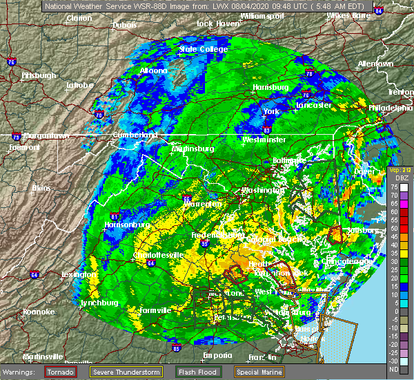 At 553 am edt, a severe thunderstorm capable of producing a tornado was located over warsaw, moving northwest at 65 mph (radar indicated rotation). Hazards include tornado. Flying debris will be dangerous to those caught without shelter. mobile homes will be damaged or destroyed. damage to roofs, windows, and vehicles will occur. tree damage is likely. this dangerous storm will be near, newland around 600 am edt. montross around 605 am edt. leedstown around 610 am edt. colonial beach around 615 am edt. Other locations impacted by this tornadic thunderstorm include lerty, wellford, ethel, potomac beach, oak grove, singerly, peeds, foneswood, chance and stratford hall. At 553 am edt, a severe thunderstorm capable of producing a tornado was located over warsaw, moving northwest at 65 mph (radar indicated rotation). Hazards include tornado. Flying debris will be dangerous to those caught without shelter. mobile homes will be damaged or destroyed. damage to roofs, windows, and vehicles will occur. tree damage is likely. this dangerous storm will be near, newland around 600 am edt. montross around 605 am edt. leedstown around 610 am edt. colonial beach around 615 am edt. Other locations impacted by this tornadic thunderstorm include lerty, wellford, ethel, potomac beach, oak grove, singerly, peeds, foneswood, chance and stratford hall.
|
| 7/21/2020 8:33 PM EDT |
 At 832 pm edt, severe thunderstorms were located along a line extending from near popes creek to near loretto, moving east at 20 mph (radar indicated). Hazards include 60 mph wind gusts and quarter size hail. Minor damage to vehicles is possible. expect wind damage to trees and powerlines. these severe storms will be near, colonial beach around 835 pm edt. champlain around 855 pm edt. leedstown around 900 pm edt. montross and newland around 915 pm edt. Other locations impacted by these severe thunderstorms include lerty, currioman landing, hustle, potomac beach, oak grove, singerly, peeds, foneswood, chance and stratford hall. At 832 pm edt, severe thunderstorms were located along a line extending from near popes creek to near loretto, moving east at 20 mph (radar indicated). Hazards include 60 mph wind gusts and quarter size hail. Minor damage to vehicles is possible. expect wind damage to trees and powerlines. these severe storms will be near, colonial beach around 835 pm edt. champlain around 855 pm edt. leedstown around 900 pm edt. montross and newland around 915 pm edt. Other locations impacted by these severe thunderstorms include lerty, currioman landing, hustle, potomac beach, oak grove, singerly, peeds, foneswood, chance and stratford hall.
|
| 7/21/2020 8:16 PM EDT |
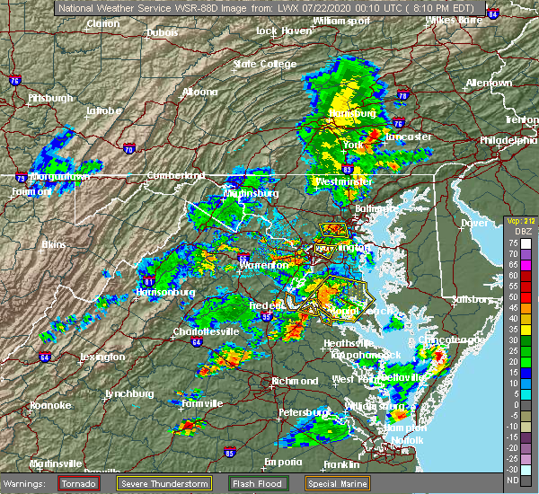 At 816 pm edt, severe thunderstorms were located along a line extending from dahlgren to near fort a.p. hill, moving east at 20 mph (radar indicated). Hazards include 60 mph wind gusts and quarter size hail. Minor damage to vehicles is possible. expect wind damage to trees and powerlines. severe thunderstorms will be near, colonial beach around 830 pm edt. loretto around 845 pm edt. champlain and leedstown around 855 pm edt. newland around 900 pm edt. Other locations impacted by these severe thunderstorms include lerty, beazley, sparta, currioman landing, hustle, potomac beach, elevon, oak grove, supply and singerly. At 816 pm edt, severe thunderstorms were located along a line extending from dahlgren to near fort a.p. hill, moving east at 20 mph (radar indicated). Hazards include 60 mph wind gusts and quarter size hail. Minor damage to vehicles is possible. expect wind damage to trees and powerlines. severe thunderstorms will be near, colonial beach around 830 pm edt. loretto around 845 pm edt. champlain and leedstown around 855 pm edt. newland around 900 pm edt. Other locations impacted by these severe thunderstorms include lerty, beazley, sparta, currioman landing, hustle, potomac beach, elevon, oak grove, supply and singerly.
|
| 6/25/2020 6:20 PM EDT |
 At 620 pm edt, severe thunderstorms were located along a line extending from near hague to near newland to near champlain, moving east at 25 mph (radar indicated). Hazards include 60 mph wind gusts and penny size hail. Expect damage to trees and powerlines. severe thunderstorms will be near, coles point around 625 pm edt. hague around 630 pm edt. warsaw and kinsale around 640 pm edt. callao and haynesville around 650 pm edt. lewisetta and sharps around 655 pm edt. farnham around 700 pm edt. Other locations impacted by these severe thunderstorms include wellford, ethel, currioman landing, lottsburg, threeway, village, bowlers wharf, mount holly, oldhams and tidewater. At 620 pm edt, severe thunderstorms were located along a line extending from near hague to near newland to near champlain, moving east at 25 mph (radar indicated). Hazards include 60 mph wind gusts and penny size hail. Expect damage to trees and powerlines. severe thunderstorms will be near, coles point around 625 pm edt. hague around 630 pm edt. warsaw and kinsale around 640 pm edt. callao and haynesville around 650 pm edt. lewisetta and sharps around 655 pm edt. farnham around 700 pm edt. Other locations impacted by these severe thunderstorms include wellford, ethel, currioman landing, lottsburg, threeway, village, bowlers wharf, mount holly, oldhams and tidewater.
|
| 6/25/2020 5:55 PM EDT |
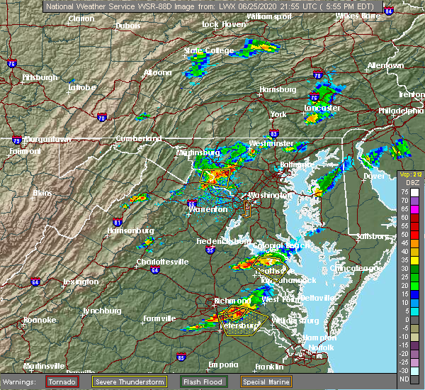 The severe thunderstorm warning for northwestern northumberland, richmond, westmoreland and north central essex counties will expire at 600 pm edt, the storm which prompted the warning has weakened below severe limits, and no longer poses an immediate threat to life or property. therefore, the warning will be allowed to expire. however gusty winds to 45 mph and heavy rain are still possible with this thunderstorm. The severe thunderstorm warning for northwestern northumberland, richmond, westmoreland and north central essex counties will expire at 600 pm edt, the storm which prompted the warning has weakened below severe limits, and no longer poses an immediate threat to life or property. therefore, the warning will be allowed to expire. however gusty winds to 45 mph and heavy rain are still possible with this thunderstorm.
|
| 6/25/2020 5:34 PM EDT |
 At 534 pm edt, a severe thunderstorm was located over montross, moving southeast at 15 mph (radar indicated). Hazards include 60 mph wind gusts and penny size hail. Expect damage to trees and powerlines. this severe storm will be near, warsaw around 610 pm edt. callao, haynesville, hague and kinsale around 615 pm edt. Other locations impacted by this severe thunderstorm include lerty, ethel, currioman landing, threeway, village, mount holly, singerly, peeds, foneswood and oldhams. At 534 pm edt, a severe thunderstorm was located over montross, moving southeast at 15 mph (radar indicated). Hazards include 60 mph wind gusts and penny size hail. Expect damage to trees and powerlines. this severe storm will be near, warsaw around 610 pm edt. callao, haynesville, hague and kinsale around 615 pm edt. Other locations impacted by this severe thunderstorm include lerty, ethel, currioman landing, threeway, village, mount holly, singerly, peeds, foneswood and oldhams.
|
| 6/25/2020 5:15 PM EDT |
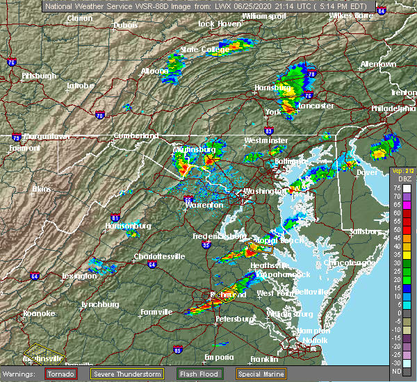 At 515 pm edt, a severe thunderstorm was located near leedstown, or about 5 miles northwest of montross, moving southeast at 30 mph (radar indicated). Hazards include 60 mph wind gusts and penny size hail. Expect damage to trees and powerlines. this severe thunderstorm will be near, montross and newland around 525 pm edt. warsaw and coles point around 540 pm edt. hague around 545 pm edt. kinsale and haynesville around 550 pm edt. callao around 600 pm edt. Other locations impacted by this severe thunderstorm include lerty, ethel, currioman landing, threeway, village, mount holly, singerly, peeds, foneswood and oldhams. At 515 pm edt, a severe thunderstorm was located near leedstown, or about 5 miles northwest of montross, moving southeast at 30 mph (radar indicated). Hazards include 60 mph wind gusts and penny size hail. Expect damage to trees and powerlines. this severe thunderstorm will be near, montross and newland around 525 pm edt. warsaw and coles point around 540 pm edt. hague around 545 pm edt. kinsale and haynesville around 550 pm edt. callao around 600 pm edt. Other locations impacted by this severe thunderstorm include lerty, ethel, currioman landing, threeway, village, mount holly, singerly, peeds, foneswood and oldhams.
|
| 6/22/2020 4:24 PM EDT |
 The severe thunderstorm warning for northwestern northumberland, richmond and westmoreland counties will expire at 430 pm edt, the storms which prompted the warning have weakened. moved out of the warned area.therefore, the warning will be allowed to expire. The severe thunderstorm warning for northwestern northumberland, richmond and westmoreland counties will expire at 430 pm edt, the storms which prompted the warning have weakened. moved out of the warned area.therefore, the warning will be allowed to expire.
|
| 6/22/2020 4:13 PM EDT |
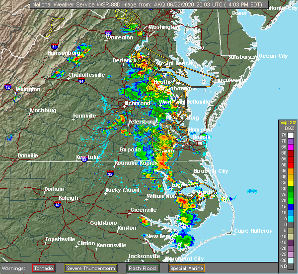 At 412 pm edt, severe thunderstorms were located along a line extending from newland to near haynesville, moving northeast at 35 mph (radar indicated). Hazards include 60 mph wind gusts. Expect damage to trees and powerlines. these severe storms will be near, haynesville around 415 pm edt. montross around 420 pm edt. callao, kinsale and hague around 425 pm edt. coles point around 435 pm edt. Other locations impacted by these severe thunderstorms include lerty, wellford, ethel, currioman landing, threeway, village, mount holly, singerly, foneswood and oldhams. At 412 pm edt, severe thunderstorms were located along a line extending from newland to near haynesville, moving northeast at 35 mph (radar indicated). Hazards include 60 mph wind gusts. Expect damage to trees and powerlines. these severe storms will be near, haynesville around 415 pm edt. montross around 420 pm edt. callao, kinsale and hague around 425 pm edt. coles point around 435 pm edt. Other locations impacted by these severe thunderstorms include lerty, wellford, ethel, currioman landing, threeway, village, mount holly, singerly, foneswood and oldhams.
|
| 6/22/2020 3:57 PM EDT |
 A severe thunderstorm warning remains in effect until 430 pm edt for northwestern northumberland. richmond. westmoreland and central essex counties. At 356 pm edt, severe thunderstorms were located along a line extending from near newland to near tappahannock, moving northeast at 40 mph. A severe thunderstorm warning remains in effect until 430 pm edt for northwestern northumberland. richmond. westmoreland and central essex counties. At 356 pm edt, severe thunderstorms were located along a line extending from near newland to near tappahannock, moving northeast at 40 mph.
|
| 6/22/2020 3:41 PM EDT |
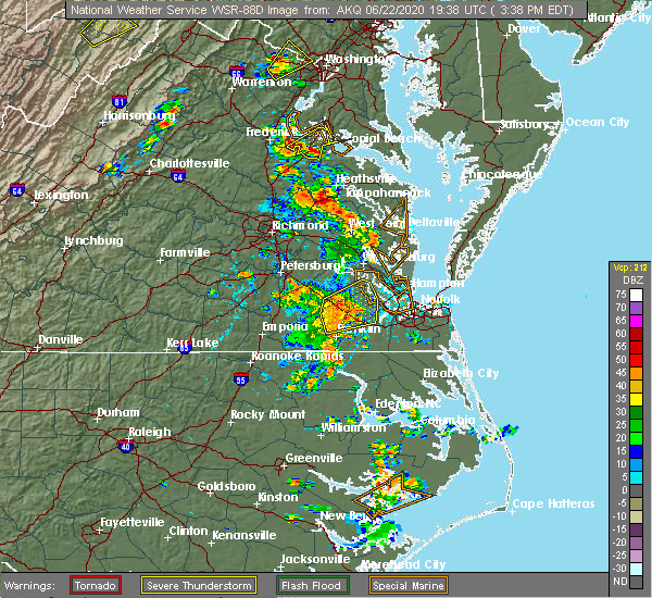 At 341 pm edt, severe thunderstorms were located along a line extending from near saint stephens church to millers tavern, moving northeast at 40 mph (radar indicated). Hazards include 60 mph wind gusts and penny size hail. Expect damage to trees and powerlines. severe thunderstorms will be near, tappahannock and dunnsville around 350 pm edt. champlain around 355 pm edt. warsaw and newland around 400 pm edt. haynesville around 405 pm edt. montross around 410 pm edt. hague and kinsale around 415 pm edt. coles point around 420 pm edt. Other locations impacted by these severe thunderstorms include currioman landing, threeway, mount holly, upright, biscoe, stratford hall, lyells, crouch, kennard and westmoreland. At 341 pm edt, severe thunderstorms were located along a line extending from near saint stephens church to millers tavern, moving northeast at 40 mph (radar indicated). Hazards include 60 mph wind gusts and penny size hail. Expect damage to trees and powerlines. severe thunderstorms will be near, tappahannock and dunnsville around 350 pm edt. champlain around 355 pm edt. warsaw and newland around 400 pm edt. haynesville around 405 pm edt. montross around 410 pm edt. hague and kinsale around 415 pm edt. coles point around 420 pm edt. Other locations impacted by these severe thunderstorms include currioman landing, threeway, mount holly, upright, biscoe, stratford hall, lyells, crouch, kennard and westmoreland.
|
| 6/6/2020 8:30 PM EDT | Several trees down. time estimated by rada in westmoreland county VA, 10 miles W of Montross, VA |
| 6/6/2020 8:15 PM EDT | Several trees down. time estimated by rada in westmoreland county VA, 0.7 miles WNW of Montross, VA |
| 6/6/2020 8:06 PM EDT |
 At 806 pm edt, a severe thunderstorm was located over newland, or near montross, moving southeast at 20 mph (radar indicated). Hazards include 60 mph wind gusts and quarter size hail. Minor damage to vehicles is possible. expect wind damage to trees and powerlines. this severe thunderstorm will be near, montross and newland around 815 pm edt. hague around 840 pm edt. warsaw and haynesville around 845 pm edt. Other locations impacted by this severe thunderstorm include lerty, wellford, ethel, threeway, village, mount holly, singerly, peeds, foneswood and oldhams. At 806 pm edt, a severe thunderstorm was located over newland, or near montross, moving southeast at 20 mph (radar indicated). Hazards include 60 mph wind gusts and quarter size hail. Minor damage to vehicles is possible. expect wind damage to trees and powerlines. this severe thunderstorm will be near, montross and newland around 815 pm edt. hague around 840 pm edt. warsaw and haynesville around 845 pm edt. Other locations impacted by this severe thunderstorm include lerty, wellford, ethel, threeway, village, mount holly, singerly, peeds, foneswood and oldhams.
|
| 4/7/2020 4:36 PM EDT |
 At 435 pm edt, severe thunderstorms were located along a line extending from chesapeake ranch estates to near coles point to near newtown, moving east at 40 mph (radar indicated). Hazards include 60 mph wind gusts and quarter size hail. Minor damage to vehicles is possible. expect wind damage to trees and powerlines. these severe storms will be near, coles point and hague around 440 pm edt. kinsale around 445 pm edt. tappahannock and newland around 455 pm edt. warsaw, haynesville and dunnsville around 500 pm edt. Other locations impacted by these severe thunderstorms include beazley, currioman landing, lottsburg, threeway, avalon, brook vale, bertrand, reedville, belle isle state park and millenbeck. At 435 pm edt, severe thunderstorms were located along a line extending from chesapeake ranch estates to near coles point to near newtown, moving east at 40 mph (radar indicated). Hazards include 60 mph wind gusts and quarter size hail. Minor damage to vehicles is possible. expect wind damage to trees and powerlines. these severe storms will be near, coles point and hague around 440 pm edt. kinsale around 445 pm edt. tappahannock and newland around 455 pm edt. warsaw, haynesville and dunnsville around 500 pm edt. Other locations impacted by these severe thunderstorms include beazley, currioman landing, lottsburg, threeway, avalon, brook vale, bertrand, reedville, belle isle state park and millenbeck.
|
| 4/7/2020 4:35 PM EDT | Trees branches down blocking cople highway near cople elementary school. time estimated from rada in westmoreland county VA, 8.4 miles WNW of Montross, VA |
| 4/7/2020 4:30 PM EDT |
 At 430 pm edt, severe thunderstorms were located along a line extending from lusby to near coles point to near newtown, moving southeast at 40 mph (radar indicated). Hazards include 60 mph wind gusts and quarter size hail. Minor damage to vehicles is possible. expect wind damage to trees and powerlines. severe thunderstorms will be near, lexington park and coles point around 435 pm edt. piney point and hague around 440 pm edt. saint george island and kinsale around 445 pm edt. tappahannock and callao around 450 pm edt. lewisetta and millers tavern around 455 pm edt. dunnsville, heathsville and stevensville around 500 pm edt. center cross around 505 pm edt. sharps around 510 pm edt. other locations impacted by these severe thunderstorms include beazley, currioman landing, lottsburg, threeway, valley lee, avalon, brook vale, bertrand, reedville and belle isle state park. People at rappahannock general hospital should seek safe shelter immediately!. At 430 pm edt, severe thunderstorms were located along a line extending from lusby to near coles point to near newtown, moving southeast at 40 mph (radar indicated). Hazards include 60 mph wind gusts and quarter size hail. Minor damage to vehicles is possible. expect wind damage to trees and powerlines. severe thunderstorms will be near, lexington park and coles point around 435 pm edt. piney point and hague around 440 pm edt. saint george island and kinsale around 445 pm edt. tappahannock and callao around 450 pm edt. lewisetta and millers tavern around 455 pm edt. dunnsville, heathsville and stevensville around 500 pm edt. center cross around 505 pm edt. sharps around 510 pm edt. other locations impacted by these severe thunderstorms include beazley, currioman landing, lottsburg, threeway, valley lee, avalon, brook vale, bertrand, reedville and belle isle state park. People at rappahannock general hospital should seek safe shelter immediately!.
|
| 4/7/2020 4:30 PM EDT |
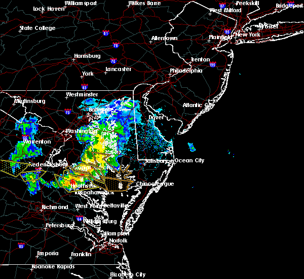 At 430 pm edt, severe thunderstorms were located along a line extending from lusby to near coles point to near newtown, moving southeast at 40 mph (radar indicated). Hazards include 60 mph wind gusts and quarter size hail. Minor damage to vehicles is possible. expect wind damage to trees and powerlines. severe thunderstorms will be near, lexington park and coles point around 435 pm edt. piney point and hague around 440 pm edt. saint george island and kinsale around 445 pm edt. tappahannock and callao around 450 pm edt. lewisetta and millers tavern around 455 pm edt. dunnsville, heathsville and stevensville around 500 pm edt. center cross around 505 pm edt. sharps around 510 pm edt. other locations impacted by these severe thunderstorms include beazley, currioman landing, lottsburg, threeway, valley lee, avalon, brook vale, bertrand, reedville and belle isle state park. People at rappahannock general hospital should seek safe shelter immediately!. At 430 pm edt, severe thunderstorms were located along a line extending from lusby to near coles point to near newtown, moving southeast at 40 mph (radar indicated). Hazards include 60 mph wind gusts and quarter size hail. Minor damage to vehicles is possible. expect wind damage to trees and powerlines. severe thunderstorms will be near, lexington park and coles point around 435 pm edt. piney point and hague around 440 pm edt. saint george island and kinsale around 445 pm edt. tappahannock and callao around 450 pm edt. lewisetta and millers tavern around 455 pm edt. dunnsville, heathsville and stevensville around 500 pm edt. center cross around 505 pm edt. sharps around 510 pm edt. other locations impacted by these severe thunderstorms include beazley, currioman landing, lottsburg, threeway, valley lee, avalon, brook vale, bertrand, reedville and belle isle state park. People at rappahannock general hospital should seek safe shelter immediately!.
|
| 4/7/2020 4:19 PM EDT |
 At 419 pm edt, severe thunderstorms were located along a line extending from near hollywood to near saint clements bay to near wicomico river to near port royal, moving southeast at 40 mph (radar indicated). Hazards include 60 mph wind gusts and nickel size hail. Expect damage to trees and powerlines. these severe storms will be near, montross around 425 pm edt. coles point around 435 pm edt. champlain and hague around 440 pm edt. tappahannock, callao, kinsale and newland around 445 pm edt. Other locations impacted by these severe thunderstorms include currioman landing, lottsburg, threeway, hustle, potomac beach, elevon, supply, mount holly, stratford hall and lyells. At 419 pm edt, severe thunderstorms were located along a line extending from near hollywood to near saint clements bay to near wicomico river to near port royal, moving southeast at 40 mph (radar indicated). Hazards include 60 mph wind gusts and nickel size hail. Expect damage to trees and powerlines. these severe storms will be near, montross around 425 pm edt. coles point around 435 pm edt. champlain and hague around 440 pm edt. tappahannock, callao, kinsale and newland around 445 pm edt. Other locations impacted by these severe thunderstorms include currioman landing, lottsburg, threeway, hustle, potomac beach, elevon, supply, mount holly, stratford hall and lyells.
|
| 4/7/2020 3:57 PM EDT |
 At 357 pm edt, severe thunderstorms were located along a line extending from near golden beach to 7 miles northwest of wicomico river to near colonial beach to 7 miles east of massaponax, moving southeast at 40 mph (radar indicated). Hazards include 60 mph wind gusts and nickel size hail. Expect damage to trees and powerlines. severe thunderstorms will be near, colonial beach around 400 pm edt. port royal around 415 pm edt. montross around 420 pm edt. loretto, coles point and leedstown around 430 pm edt. champlain and hague around 435 pm edt. kinsale and newland around 440 pm edt. tappahannock and callao around 445 pm edt. Other locations impacted by these severe thunderstorms include currioman landing, lottsburg, threeway, hustle, potomac beach, corbin, elevon, supply, mount holly and stratford hall. At 357 pm edt, severe thunderstorms were located along a line extending from near golden beach to 7 miles northwest of wicomico river to near colonial beach to 7 miles east of massaponax, moving southeast at 40 mph (radar indicated). Hazards include 60 mph wind gusts and nickel size hail. Expect damage to trees and powerlines. severe thunderstorms will be near, colonial beach around 400 pm edt. port royal around 415 pm edt. montross around 420 pm edt. loretto, coles point and leedstown around 430 pm edt. champlain and hague around 435 pm edt. kinsale and newland around 440 pm edt. tappahannock and callao around 445 pm edt. Other locations impacted by these severe thunderstorms include currioman landing, lottsburg, threeway, hustle, potomac beach, corbin, elevon, supply, mount holly and stratford hall.
|
| 8/20/2019 7:09 PM EDT |
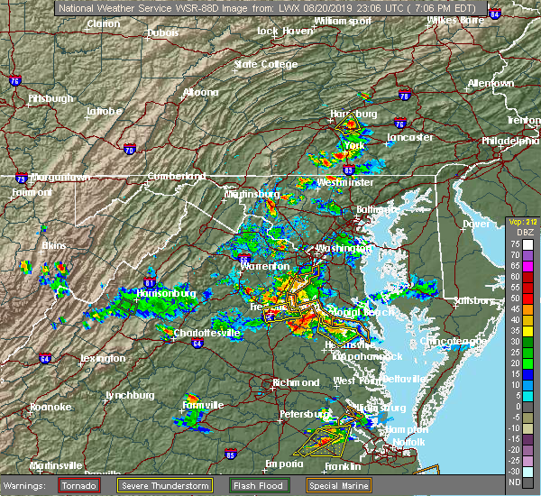 The severe thunderstorm warning for northwestern richmond and westmoreland counties will expire at 715 pm edt, the storms which prompted the warning have weakened below severe limits, and no longer pose an immediate threat to life or property. therefore, the warning will be allowed to expire. however small hail, gusty winds and heavy rain are still possible with these thunderstorms. The severe thunderstorm warning for northwestern richmond and westmoreland counties will expire at 715 pm edt, the storms which prompted the warning have weakened below severe limits, and no longer pose an immediate threat to life or property. therefore, the warning will be allowed to expire. however small hail, gusty winds and heavy rain are still possible with these thunderstorms.
|
| 8/20/2019 6:36 PM EDT |
 At 636 pm edt, severe thunderstorms were located along a line extending from near leedstown to montross to near warsaw, moving northeast at 5 mph (radar indicated). Hazards include 60 mph wind gusts and quarter size hail. Minor damage to vehicles is possible. Expect wind damage to trees and powerlines. At 636 pm edt, severe thunderstorms were located along a line extending from near leedstown to montross to near warsaw, moving northeast at 5 mph (radar indicated). Hazards include 60 mph wind gusts and quarter size hail. Minor damage to vehicles is possible. Expect wind damage to trees and powerlines.
|
| 8/20/2019 6:32 PM EDT |
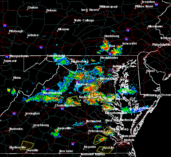 At 631 pm edt, a severe thunderstorm was located near newland, or near montross, moving northeast at 5 mph (radar indicated). Hazards include 60 mph wind gusts and quarter size hail. Minor damage to vehicles is possible. expect wind damage to trees and powerlines. Locations impacted include, warsaw, montross, newland, ethel, lyells, naylors beach, mount holly, kremlin, piney grove, templeman and stratford hall. At 631 pm edt, a severe thunderstorm was located near newland, or near montross, moving northeast at 5 mph (radar indicated). Hazards include 60 mph wind gusts and quarter size hail. Minor damage to vehicles is possible. expect wind damage to trees and powerlines. Locations impacted include, warsaw, montross, newland, ethel, lyells, naylors beach, mount holly, kremlin, piney grove, templeman and stratford hall.
|
| 8/20/2019 6:07 PM EDT |
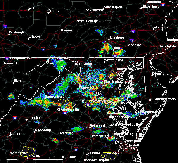 The national weather service in wakefield has issued a * severe thunderstorm warning for. northwestern richmond county in east central virginia. southeastern westmoreland county in east central virginia. central essex county in east central virginia. Until 645 pm edt. The national weather service in wakefield has issued a * severe thunderstorm warning for. northwestern richmond county in east central virginia. southeastern westmoreland county in east central virginia. central essex county in east central virginia. Until 645 pm edt.
|
| 8/19/2019 7:56 PM EDT |
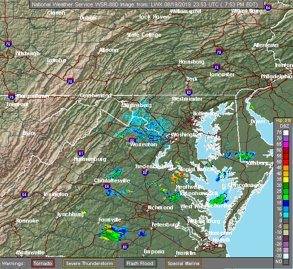 At 755 pm edt, a severe thunderstorm was located near lerty, moving southeast at 15 mph (radar indicated). Hazards include 60 mph wind gusts. Expect damage to trees and powerlines. this severe storm will be near, newland around 815 pm edt. montross around 820 pm edt. Other locations impacted by this severe thunderstorm include lerty, ethel, currioman landing, mount holly, singerly, peeds, foneswood, stratford hall, potomac mills and naylors beach. At 755 pm edt, a severe thunderstorm was located near lerty, moving southeast at 15 mph (radar indicated). Hazards include 60 mph wind gusts. Expect damage to trees and powerlines. this severe storm will be near, newland around 815 pm edt. montross around 820 pm edt. Other locations impacted by this severe thunderstorm include lerty, ethel, currioman landing, mount holly, singerly, peeds, foneswood, stratford hall, potomac mills and naylors beach.
|
| 8/19/2019 7:39 PM EDT |
 At 739 pm edt, a severe thunderstorm was located near colonial beach, moving southeast at 15 mph (radar indicated). Hazards include 60 mph wind gusts and penny size hail. Expect damage to trees and powerlines. this severe thunderstorm will be near, newland around 815 pm edt. montross around 820 pm edt. Other locations impacted by this severe thunderstorm include lerty, ethel, currioman landing, oak grove, mount holly, singerly, peeds, foneswood, stratford hall and potomac mills. At 739 pm edt, a severe thunderstorm was located near colonial beach, moving southeast at 15 mph (radar indicated). Hazards include 60 mph wind gusts and penny size hail. Expect damage to trees and powerlines. this severe thunderstorm will be near, newland around 815 pm edt. montross around 820 pm edt. Other locations impacted by this severe thunderstorm include lerty, ethel, currioman landing, oak grove, mount holly, singerly, peeds, foneswood, stratford hall and potomac mills.
|
| 8/7/2019 4:06 PM EDT |
 The severe thunderstorm warning for northwestern richmond and northwestern westmoreland counties will expire at 415 pm edt, the storm which prompted the warning has moved out of the area. therefore, the warning will be allowed to expire. a severe thunderstorm watch remains in effect until 800 pm edt for east central virginia. The severe thunderstorm warning for northwestern richmond and northwestern westmoreland counties will expire at 415 pm edt, the storm which prompted the warning has moved out of the area. therefore, the warning will be allowed to expire. a severe thunderstorm watch remains in effect until 800 pm edt for east central virginia.
|
| 8/7/2019 3:54 PM EDT |
 At 354 pm edt, a severe thunderstorm was located near montross, moving northeast at 30 mph (radar indicated). Hazards include 60 mph wind gusts. Expect damage to trees and powerlines. This severe thunderstorm will remain over mainly rural areas of northwestern richmond and northwestern westmoreland counties, including the following locations, lerty, stratford hall, currioman landing, potomac mills, oak grove, singerly, peeds, foneswood and westmoreland state. At 354 pm edt, a severe thunderstorm was located near montross, moving northeast at 30 mph (radar indicated). Hazards include 60 mph wind gusts. Expect damage to trees and powerlines. This severe thunderstorm will remain over mainly rural areas of northwestern richmond and northwestern westmoreland counties, including the following locations, lerty, stratford hall, currioman landing, potomac mills, oak grove, singerly, peeds, foneswood and westmoreland state.
|
| 8/7/2019 3:41 PM EDT |
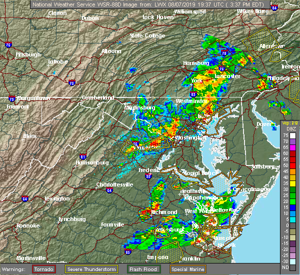 At 341 pm edt, a severe thunderstorm was located over leedstown, or near champlain, moving northeast at 25 mph (radar indicated). Hazards include 60 mph wind gusts. Expect damage to trees and powerlines. this severe storm will be near, newland around 345 pm edt. montross around 355 pm edt. coles point around 415 pm edt. Other locations impacted by this severe thunderstorm include lerty, stratford hall, currioman landing, hustle, potomac mills, oak grove, singerly, peeds, foneswood and westmoreland state. At 341 pm edt, a severe thunderstorm was located over leedstown, or near champlain, moving northeast at 25 mph (radar indicated). Hazards include 60 mph wind gusts. Expect damage to trees and powerlines. this severe storm will be near, newland around 345 pm edt. montross around 355 pm edt. coles point around 415 pm edt. Other locations impacted by this severe thunderstorm include lerty, stratford hall, currioman landing, hustle, potomac mills, oak grove, singerly, peeds, foneswood and westmoreland state.
|
| 8/7/2019 3:26 PM EDT |
 At 326 pm edt, a severe thunderstorm was located over champlain, moving northeast at 25 mph (radar indicated). Hazards include 60 mph wind gusts. Expect damage to trees and powerlines. this severe thunderstorm will be near, leedstown around 335 pm edt. newland around 340 pm edt. montross around 350 pm edt. coles point around 410 pm edt. Other locations impacted by this severe thunderstorm include lerty, beazley, ethel, currioman landing, hustle, elevon, oak grove, mount holly, singerly and peeds. At 326 pm edt, a severe thunderstorm was located over champlain, moving northeast at 25 mph (radar indicated). Hazards include 60 mph wind gusts. Expect damage to trees and powerlines. this severe thunderstorm will be near, leedstown around 335 pm edt. newland around 340 pm edt. montross around 350 pm edt. coles point around 410 pm edt. Other locations impacted by this severe thunderstorm include lerty, beazley, ethel, currioman landing, hustle, elevon, oak grove, mount holly, singerly and peeds.
|
| 7/31/2019 5:27 PM EDT |
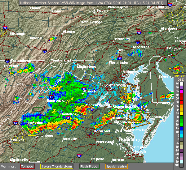 At 527 pm edt, a severe thunderstorm was located over leedstown, or 7 miles north of champlain, moving northeast at 15 mph (radar indicated). Hazards include 60 mph wind gusts and quarter size hail. Minor damage to vehicles is possible. expect wind damage to trees and powerlines. this severe storm will be near, montross around 545 pm edt. Other locations impacted by this severe thunderstorm include lerty, stratford hall, currioman landing, hustle, potomac mills, supply, singerly, peeds, foneswood and westmoreland state. At 527 pm edt, a severe thunderstorm was located over leedstown, or 7 miles north of champlain, moving northeast at 15 mph (radar indicated). Hazards include 60 mph wind gusts and quarter size hail. Minor damage to vehicles is possible. expect wind damage to trees and powerlines. this severe storm will be near, montross around 545 pm edt. Other locations impacted by this severe thunderstorm include lerty, stratford hall, currioman landing, hustle, potomac mills, supply, singerly, peeds, foneswood and westmoreland state.
|
| 7/31/2019 5:05 PM EDT |
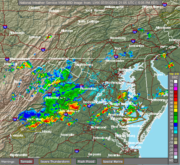 At 504 pm edt, a severe thunderstorm was located over loretto, or near champlain, moving northeast at 15 mph (radar indicated). Hazards include 60 mph wind gusts and quarter size hail. Minor damage to vehicles is possible. expect wind damage to trees and powerlines. this severe thunderstorm will be near, loretto around 515 pm edt. leedstown around 525 pm edt. colonial beach and montross around 545 pm edt. Other locations impacted by this severe thunderstorm include lerty, stratford hall, currioman landing, hustle, potomac mills, oak grove, supply, singerly, peeds and foneswood. At 504 pm edt, a severe thunderstorm was located over loretto, or near champlain, moving northeast at 15 mph (radar indicated). Hazards include 60 mph wind gusts and quarter size hail. Minor damage to vehicles is possible. expect wind damage to trees and powerlines. this severe thunderstorm will be near, loretto around 515 pm edt. leedstown around 525 pm edt. colonial beach and montross around 545 pm edt. Other locations impacted by this severe thunderstorm include lerty, stratford hall, currioman landing, hustle, potomac mills, oak grove, supply, singerly, peeds and foneswood.
|
| 7/11/2019 7:21 PM EDT |
 At 721 pm edt, severe thunderstorms were located along a line extending from near hague to near haynesville to sharps, moving east at 25 mph (radar indicated). Hazards include 60 mph wind gusts. expect damage to trees and powerlines At 721 pm edt, severe thunderstorms were located along a line extending from near hague to near haynesville to sharps, moving east at 25 mph (radar indicated). Hazards include 60 mph wind gusts. expect damage to trees and powerlines
|
| 6/24/2019 7:13 PM EDT |
 The severe thunderstorm warning for northwestern richmond, east central caroline, northwestern westmoreland and northwestern essex counties will expire at 715 pm edt, the storms which prompted the warning have weakened below severe limits, and no longer pose an immediate threat to life or property. therefore, the warning will be allowed to expire. however, gusty winds to around 40 miles per hour are still possible with these thunderstorms. The severe thunderstorm warning for northwestern richmond, east central caroline, northwestern westmoreland and northwestern essex counties will expire at 715 pm edt, the storms which prompted the warning have weakened below severe limits, and no longer pose an immediate threat to life or property. therefore, the warning will be allowed to expire. however, gusty winds to around 40 miles per hour are still possible with these thunderstorms.
|
| 6/24/2019 6:53 PM EDT |
 At 652 pm edt, severe thunderstorms were located along a line extending from near leedstown to loretto to near champlain, moving east at 15 mph (radar indicated). Hazards include 60 mph wind gusts. Expect damage to trees and powerlines. Locations impacted include, colonial beach, montross, champlain, loretto, leedstown, newland, lerty, hustle, potomac beach, elevon, oak grove, supply, singerly, peeds, foneswood, chance, stratford hall, potomac mills, westmoreland state and caret. At 652 pm edt, severe thunderstorms were located along a line extending from near leedstown to loretto to near champlain, moving east at 15 mph (radar indicated). Hazards include 60 mph wind gusts. Expect damage to trees and powerlines. Locations impacted include, colonial beach, montross, champlain, loretto, leedstown, newland, lerty, hustle, potomac beach, elevon, oak grove, supply, singerly, peeds, foneswood, chance, stratford hall, potomac mills, westmoreland state and caret.
|
| 6/24/2019 6:25 PM EDT |
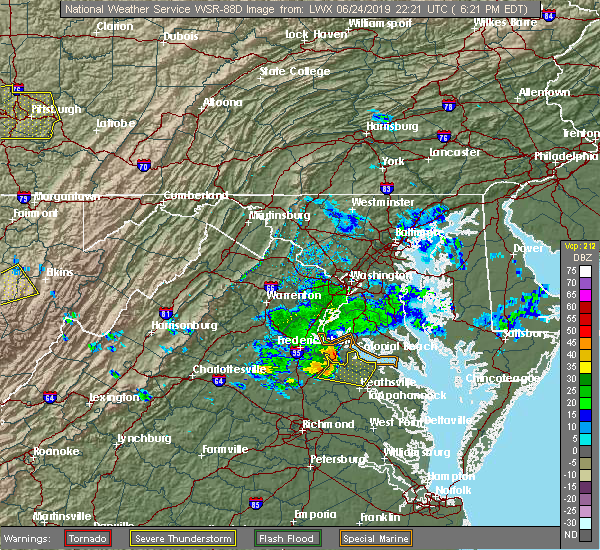 At 625 pm edt, severe thunderstorms were located along a line extending from near king george to near port royal to near fort a.p. hill, moving east at 20 mph (radar indicated). Hazards include 60 mph wind gusts. expect damage to trees and powerlines At 625 pm edt, severe thunderstorms were located along a line extending from near king george to near port royal to near fort a.p. hill, moving east at 20 mph (radar indicated). Hazards include 60 mph wind gusts. expect damage to trees and powerlines
|
| 6/18/2019 7:20 PM EDT | Several power poles snapped and a couple trees dow in westmoreland county VA, 0.7 miles WNW of Montross, VA |
| 6/5/2019 5:53 PM EDT |
 The severe thunderstorm warning for northumberland, richmond, southern westmoreland and northern essex counties will expire at 600 pm edt, the storms which prompted the warning have weakened below severe limits, and have exited the warned area. therefore, the warning will be allowed to expire. a severe thunderstorm watch remains in effect until 1000 pm edt for eastern and east central virginia. The severe thunderstorm warning for northumberland, richmond, southern westmoreland and northern essex counties will expire at 600 pm edt, the storms which prompted the warning have weakened below severe limits, and have exited the warned area. therefore, the warning will be allowed to expire. a severe thunderstorm watch remains in effect until 1000 pm edt for eastern and east central virginia.
|
| 6/5/2019 5:15 PM EDT |
 At 514 pm edt, severe thunderstorms were located along a line extending from near newland to near warsaw to near sharps, moving east at 45 mph (radar indicated). Hazards include 60 mph wind gusts and penny size hail. Expect damage to trees and powerlines. severe thunderstorms will be near, farnham and haynesville around 520 pm edt. callao and kinsale around 525 pm edt. heathsville around 530 pm edt. hague, coles point and lewisetta around 535 pm edt. Other locations impacted by these severe thunderstorms include lottsburg, threeway, avalon, mount holly, edwardsville, tidewater, lyells, middletons corner, kennard and westmoreland. At 514 pm edt, severe thunderstorms were located along a line extending from near newland to near warsaw to near sharps, moving east at 45 mph (radar indicated). Hazards include 60 mph wind gusts and penny size hail. Expect damage to trees and powerlines. severe thunderstorms will be near, farnham and haynesville around 520 pm edt. callao and kinsale around 525 pm edt. heathsville around 530 pm edt. hague, coles point and lewisetta around 535 pm edt. Other locations impacted by these severe thunderstorms include lottsburg, threeway, avalon, mount holly, edwardsville, tidewater, lyells, middletons corner, kennard and westmoreland.
|
| 5/23/2019 5:00 PM EDT | Tree down on roadway near the intersection of grants hill church road and twiford road. time estimated from rada in westmoreland county VA, 7.7 miles ESE of Montross, VA |
| 5/23/2019 4:52 PM EDT |
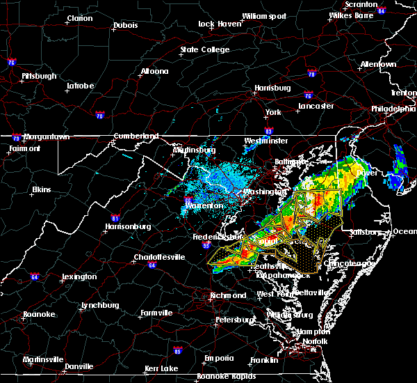 At 452 pm edt, a severe thunderstorm was located near leedstown, or 9 miles northwest of champlain, moving east at 40 mph (radar indicated). Hazards include 60 mph wind gusts. Expect damage to trees and powerlines. this severe storm will be near, champlain and leedstown around 500 pm edt. montross and newland around 510 pm edt. Other locations impacted by this severe thunderstorm include lerty, stratford hall, hustle, potomac beach, potomac mills, oak grove, supply, singerly, peeds and foneswood. At 452 pm edt, a severe thunderstorm was located near leedstown, or 9 miles northwest of champlain, moving east at 40 mph (radar indicated). Hazards include 60 mph wind gusts. Expect damage to trees and powerlines. this severe storm will be near, champlain and leedstown around 500 pm edt. montross and newland around 510 pm edt. Other locations impacted by this severe thunderstorm include lerty, stratford hall, hustle, potomac beach, potomac mills, oak grove, supply, singerly, peeds and foneswood.
|
| 5/23/2019 4:39 PM EDT |
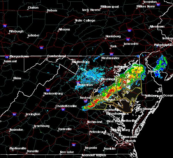 At 439 pm edt, a severe thunderstorm was located over port royal, or 9 miles south of king george, moving east at 40 mph (radar indicated). Hazards include 60 mph wind gusts and quarter size hail. Minor damage to vehicles is possible. expect wind damage to trees and powerlines. this severe storm will be near, loretto around 455 pm edt. champlain and leedstown around 500 pm edt. newland around 510 pm edt. montross around 515 pm edt. Other locations impacted by this severe thunderstorm include rappahannock academy, lerty, villboro, hustle, potomac beach, oak grove, supply, singerly, peeds and foneswood. At 439 pm edt, a severe thunderstorm was located over port royal, or 9 miles south of king george, moving east at 40 mph (radar indicated). Hazards include 60 mph wind gusts and quarter size hail. Minor damage to vehicles is possible. expect wind damage to trees and powerlines. this severe storm will be near, loretto around 455 pm edt. champlain and leedstown around 500 pm edt. newland around 510 pm edt. montross around 515 pm edt. Other locations impacted by this severe thunderstorm include rappahannock academy, lerty, villboro, hustle, potomac beach, oak grove, supply, singerly, peeds and foneswood.
|
| 5/23/2019 4:23 PM EDT |
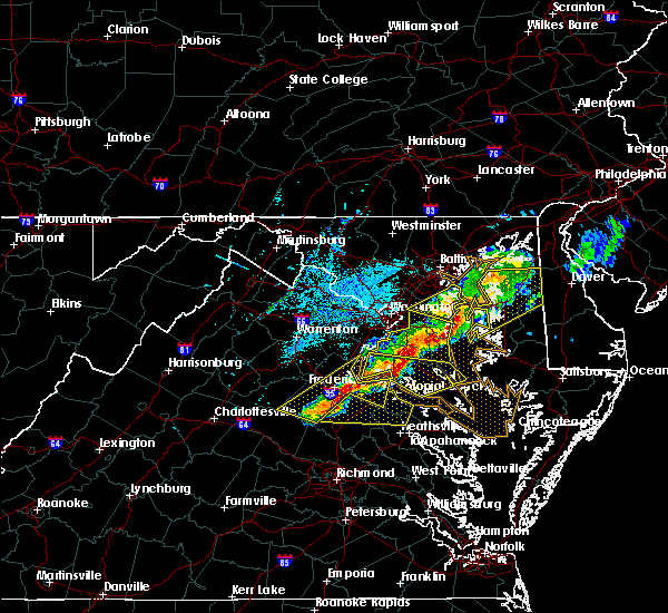 At 422 pm edt, a severe thunderstorm was located near massaponax, or 9 miles northwest of bowling green, moving east at 40 mph (radar indicated). Hazards include 60 mph wind gusts and quarter size hail. Minor damage to vehicles is possible. expect wind damage to trees and powerlines. this severe thunderstorm will be near, bowling green around 430 pm edt. fort a. p. hill around 435 pm edt. port royal around 445 pm edt. loretto around 455 pm edt. champlain and leedstown around 500 pm edt. newland around 510 pm edt. montross around 515 pm edt. Other locations impacted by this severe thunderstorm include rappahannock academy, lerty, villboro, hustle, potomac beach, guinea, corbin, oak grove, supply and singerly. At 422 pm edt, a severe thunderstorm was located near massaponax, or 9 miles northwest of bowling green, moving east at 40 mph (radar indicated). Hazards include 60 mph wind gusts and quarter size hail. Minor damage to vehicles is possible. expect wind damage to trees and powerlines. this severe thunderstorm will be near, bowling green around 430 pm edt. fort a. p. hill around 435 pm edt. port royal around 445 pm edt. loretto around 455 pm edt. champlain and leedstown around 500 pm edt. newland around 510 pm edt. montross around 515 pm edt. Other locations impacted by this severe thunderstorm include rappahannock academy, lerty, villboro, hustle, potomac beach, guinea, corbin, oak grove, supply and singerly.
|
| 4/15/2019 2:21 AM EDT |
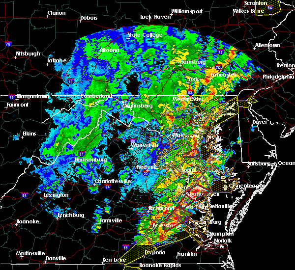 At 220 am edt, a severe thunderstorm was located near champlain, moving northeast at 65 mph (radar indicated). Hazards include 60 mph wind gusts. Expect damage to trees and powerlines. this severe storm will be near, montross around 230 am edt. other locations impacted by this severe thunderstorm include beazley, currioman landing, threeway, hustle, elevon, supply, mount holly, biscoe, stratford hall and lyells. A tornado watch remains in effect until 700 am edt for north central and east central virginia. At 220 am edt, a severe thunderstorm was located near champlain, moving northeast at 65 mph (radar indicated). Hazards include 60 mph wind gusts. Expect damage to trees and powerlines. this severe storm will be near, montross around 230 am edt. other locations impacted by this severe thunderstorm include beazley, currioman landing, threeway, hustle, elevon, supply, mount holly, biscoe, stratford hall and lyells. A tornado watch remains in effect until 700 am edt for north central and east central virginia.
|
| 4/15/2019 1:50 AM EDT |
 At 150 am edt, a severe thunderstorm was located over virginia union university, moving northeast at 80 mph (radar indicated). Hazards include 60 mph wind gusts and penny size hail. Expect damage to trees and powerlines. this severe thunderstorm will be near, hanover and studley around 200 am edt. aylett, mangohick and manquin around 205 am edt. saint stephens church, beulahville and newtown around 210 am edt. tappahannock and champlain around 220 am edt. newland around 225 am edt. montross around 230 am edt. other locations impacted by this severe thunderstorm include beazley, currioman landing, threeway, gum tree, etna mills, montrose, biscoe, lyells, chamberlayne and atlee. A tornado watch remains in effect until 700 am edt for central, north central and east central virginia. At 150 am edt, a severe thunderstorm was located over virginia union university, moving northeast at 80 mph (radar indicated). Hazards include 60 mph wind gusts and penny size hail. Expect damage to trees and powerlines. this severe thunderstorm will be near, hanover and studley around 200 am edt. aylett, mangohick and manquin around 205 am edt. saint stephens church, beulahville and newtown around 210 am edt. tappahannock and champlain around 220 am edt. newland around 225 am edt. montross around 230 am edt. other locations impacted by this severe thunderstorm include beazley, currioman landing, threeway, gum tree, etna mills, montrose, biscoe, lyells, chamberlayne and atlee. A tornado watch remains in effect until 700 am edt for central, north central and east central virginia.
|
| 3/22/2019 5:55 PM EDT |
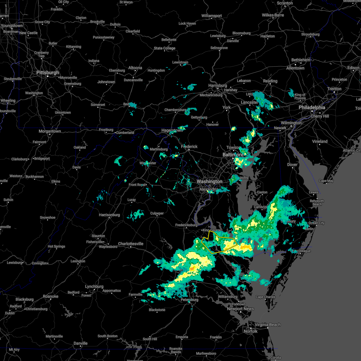 The severe thunderstorm warning for northwestern richmond, east central caroline, westmoreland and northwestern essex counties will expire at 600 pm edt, the storm which prompted the warning has weakened below severe limits, and no longer poses an immediate threat to life or property. therefore, the warning will be allowed to expire. The severe thunderstorm warning for northwestern richmond, east central caroline, westmoreland and northwestern essex counties will expire at 600 pm edt, the storm which prompted the warning has weakened below severe limits, and no longer poses an immediate threat to life or property. therefore, the warning will be allowed to expire.
|
| 3/22/2019 5:31 PM EDT |
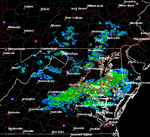 At 530 pm edt, a severe thunderstorm was located over leedstown, or 8 miles north of champlain, moving southeast at 50 mph (radar indicated). Hazards include 60 mph wind gusts and penny size hail. Expect damage to trees and powerlines. this severe storm will be near, champlain around 535 pm edt. newland around 540 pm edt. montross around 545 pm edt. warsaw around 550 pm edt. hague around 555 pm edt. Other locations impacted by this severe thunderstorm include currioman landing, hustle, supply, mount holly, stratford hall, lyells, westmoreland, erica, piney grove and templeman. At 530 pm edt, a severe thunderstorm was located over leedstown, or 8 miles north of champlain, moving southeast at 50 mph (radar indicated). Hazards include 60 mph wind gusts and penny size hail. Expect damage to trees and powerlines. this severe storm will be near, champlain around 535 pm edt. newland around 540 pm edt. montross around 545 pm edt. warsaw around 550 pm edt. hague around 555 pm edt. Other locations impacted by this severe thunderstorm include currioman landing, hustle, supply, mount holly, stratford hall, lyells, westmoreland, erica, piney grove and templeman.
|
| 3/22/2019 5:11 PM EDT |
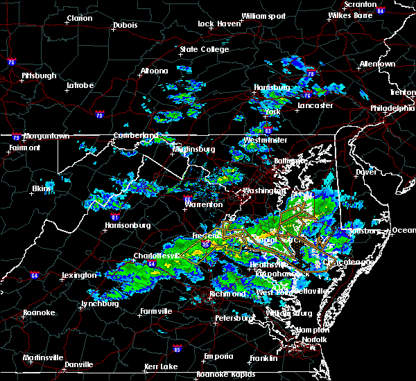 At 510 pm edt, a severe thunderstorm was located near fredericksburg, moving southeast at 50 mph (radar indicated). Hazards include 60 mph wind gusts and penny size hail. Expect damage to trees and powerlines. this severe thunderstorm will be near, port royal and fort a. p. hill around 525 pm edt. leedstown and loretto around 535 pm edt. champlain around 540 pm edt. montross and newland around 545 pm edt. warsaw and hague around 555 pm edt. Other locations impacted by this severe thunderstorm include currioman landing, hustle, guinea, corbin, elevon, supply, mount holly, penola, stratford hall and lyells. At 510 pm edt, a severe thunderstorm was located near fredericksburg, moving southeast at 50 mph (radar indicated). Hazards include 60 mph wind gusts and penny size hail. Expect damage to trees and powerlines. this severe thunderstorm will be near, port royal and fort a. p. hill around 525 pm edt. leedstown and loretto around 535 pm edt. champlain around 540 pm edt. montross and newland around 545 pm edt. warsaw and hague around 555 pm edt. Other locations impacted by this severe thunderstorm include currioman landing, hustle, guinea, corbin, elevon, supply, mount holly, penola, stratford hall and lyells.
|
| 6/24/2018 4:58 PM EDT |
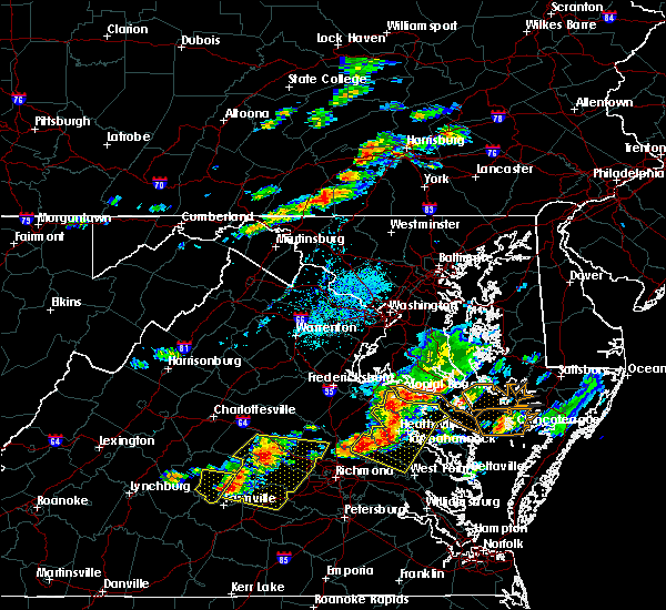 At 457 pm edt, severe thunderstorms were located along a line extending from near champlain to near millers tavern to near manquin, moving east at 45 mph (radar indicated). Hazards include 60 mph wind gusts. Expect damage to trees and powerlines. Locations impacted include, king william, tappahannock, warsaw, montross, champlain, saint stephens church, king and queen court house, manquin, beulahville, center cross, kinsale, loretto, leedstown, mangohick, haynesville, millers tavern, newtown, newland, coles point and dunnsville. At 457 pm edt, severe thunderstorms were located along a line extending from near champlain to near millers tavern to near manquin, moving east at 45 mph (radar indicated). Hazards include 60 mph wind gusts. Expect damage to trees and powerlines. Locations impacted include, king william, tappahannock, warsaw, montross, champlain, saint stephens church, king and queen court house, manquin, beulahville, center cross, kinsale, loretto, leedstown, mangohick, haynesville, millers tavern, newtown, newland, coles point and dunnsville.
|
| 6/24/2018 4:45 PM EDT |
 At 443 pm edt, severe thunderstorms were located along a line extending from near port royal to 7 miles northwest of newtown to dawn, moving east at 40 mph (radar indicated). Hazards include 60 mph wind gusts and penny size hail. Expect damage to trees and powerlines. locations impacted include, king william, tappahannock, warsaw, montross, champlain, saint stephens church, colonial beach, king and queen court house, port royal, manquin, beulahville, center cross, kinsale, dawn, loretto, leedstown, mangohick, haynesville, fort a. p. Hill, millers tavern and newtown. At 443 pm edt, severe thunderstorms were located along a line extending from near port royal to 7 miles northwest of newtown to dawn, moving east at 40 mph (radar indicated). Hazards include 60 mph wind gusts and penny size hail. Expect damage to trees and powerlines. locations impacted include, king william, tappahannock, warsaw, montross, champlain, saint stephens church, colonial beach, king and queen court house, port royal, manquin, beulahville, center cross, kinsale, dawn, loretto, leedstown, mangohick, haynesville, fort a. p. Hill, millers tavern and newtown.
|
| 6/24/2018 4:33 PM EDT |
 At 432 pm edt, severe thunderstorms were located along a line extending from near fort a.p. hill to near milford to near kings dominion, moving east at 40 mph (radar indicated). Hazards include 60 mph wind gusts and penny size hail. expect damage to trees and powerlines At 432 pm edt, severe thunderstorms were located along a line extending from near fort a.p. hill to near milford to near kings dominion, moving east at 40 mph (radar indicated). Hazards include 60 mph wind gusts and penny size hail. expect damage to trees and powerlines
|
| 5/14/2018 8:05 PM EDT |
 At 804 pm edt, severe thunderstorms were located along a line extending from near saint marys river to morattico, moving east at 40 mph (radar indicated). Hazards include 70 mph wind gusts and quarter size hail. Minor damage to vehicles is possible. expect considerable tree damage. wind damage is also likely to mobile homes, roofs, and outbuildings. Locations impacted include, tappahannock, warsaw, montross, fair port, robley, callao, lancaster, center cross, kinsale, morattico, heathsville, wicomico church, farnham, haynesville, coles point, dunnsville, hague, lewisetta, sharps and westmoreland. At 804 pm edt, severe thunderstorms were located along a line extending from near saint marys river to morattico, moving east at 40 mph (radar indicated). Hazards include 70 mph wind gusts and quarter size hail. Minor damage to vehicles is possible. expect considerable tree damage. wind damage is also likely to mobile homes, roofs, and outbuildings. Locations impacted include, tappahannock, warsaw, montross, fair port, robley, callao, lancaster, center cross, kinsale, morattico, heathsville, wicomico church, farnham, haynesville, coles point, dunnsville, hague, lewisetta, sharps and westmoreland.
|
| 5/14/2018 7:43 PM EDT |
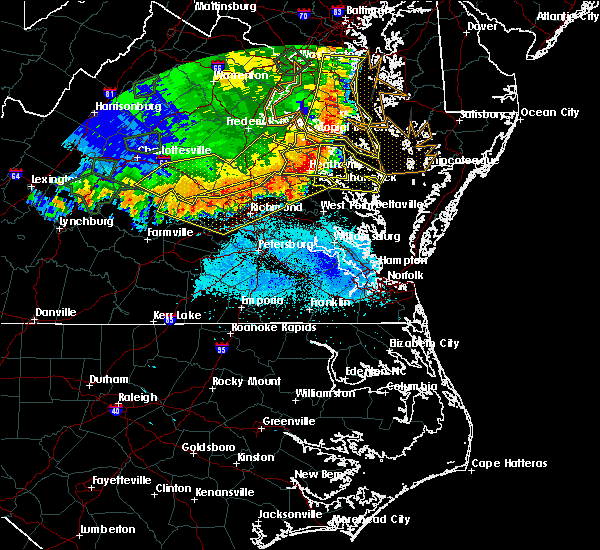 At 742 pm edt, severe thunderstorms were located along a line extending from near saint clements bay to dunnsville, moving east at 65 mph (radar indicated). Hazards include 60 mph wind gusts and quarter size hail. Minor damage to vehicles is possible. expect wind damage to trees and powerlines. severe thunderstorms will be near, farnham around 750 pm edt. robley and morattico around 755 pm edt. lancaster and heathsville around 800 pm edt. wicomico church around 805 pm edt. fair port around 810 pm edt. Other locations impacted by these severe thunderstorms include currioman landing, lottsburg, threeway, regina, avalon, mount holly, brook vale, upright, nuttsville and reedville. At 742 pm edt, severe thunderstorms were located along a line extending from near saint clements bay to dunnsville, moving east at 65 mph (radar indicated). Hazards include 60 mph wind gusts and quarter size hail. Minor damage to vehicles is possible. expect wind damage to trees and powerlines. severe thunderstorms will be near, farnham around 750 pm edt. robley and morattico around 755 pm edt. lancaster and heathsville around 800 pm edt. wicomico church around 805 pm edt. fair port around 810 pm edt. Other locations impacted by these severe thunderstorms include currioman landing, lottsburg, threeway, regina, avalon, mount holly, brook vale, upright, nuttsville and reedville.
|
| 5/14/2018 7:10 PM EDT |
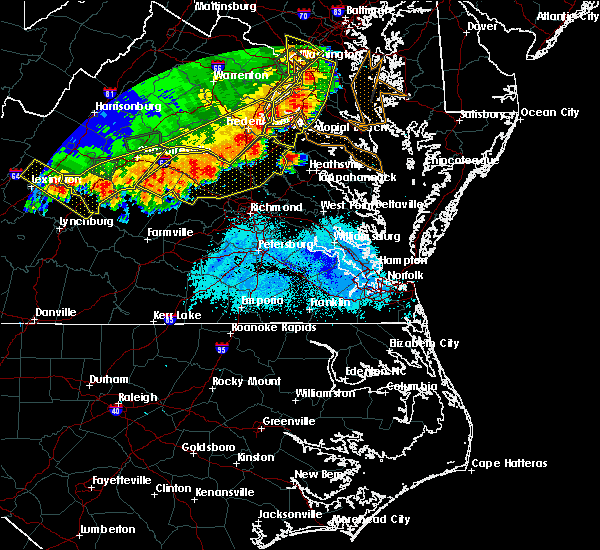 At 709 pm edt, a severe thunderstorm was located near loretto, or near champlain, moving east at 50 mph (radar indicated). Hazards include 60 mph wind gusts and quarter size hail. Minor damage to vehicles is possible. expect wind damage to trees and powerlines. this severe thunderstorm will be near, champlain and leedstown around 715 pm edt. montross and newland around 725 pm edt. warsaw around 730 pm edt. haynesville around 735 pm edt. hague and coles point around 740 pm edt. Other locations impacted by this severe thunderstorm include beazley, currioman landing, threeway, hustle, elevon, supply, mount holly, stratford hall, lyells and kennard. At 709 pm edt, a severe thunderstorm was located near loretto, or near champlain, moving east at 50 mph (radar indicated). Hazards include 60 mph wind gusts and quarter size hail. Minor damage to vehicles is possible. expect wind damage to trees and powerlines. this severe thunderstorm will be near, champlain and leedstown around 715 pm edt. montross and newland around 725 pm edt. warsaw around 730 pm edt. haynesville around 735 pm edt. hague and coles point around 740 pm edt. Other locations impacted by this severe thunderstorm include beazley, currioman landing, threeway, hustle, elevon, supply, mount holly, stratford hall, lyells and kennard.
|
| 8/21/2017 8:04 PM EDT |
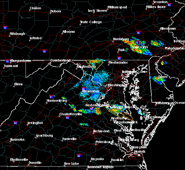 At 804 pm edt, a severe thunderstorm was located near montross, moving southeast at 20 mph (radar indicated). Hazards include 60 mph wind gusts and penny size hail. Expect damage to trees and powerlines. this severe thunderstorm will be near, montross around 815 pm edt. coles point around 840 pm edt. hague and kinsale around 845 pm edt. Other locations impacted by this severe thunderstorm include lerty, stratford hall, currioman landing, westmoreland, mount holly, sandy point, erica, westmoreland state and kremlin. At 804 pm edt, a severe thunderstorm was located near montross, moving southeast at 20 mph (radar indicated). Hazards include 60 mph wind gusts and penny size hail. Expect damage to trees and powerlines. this severe thunderstorm will be near, montross around 815 pm edt. coles point around 840 pm edt. hague and kinsale around 845 pm edt. Other locations impacted by this severe thunderstorm include lerty, stratford hall, currioman landing, westmoreland, mount holly, sandy point, erica, westmoreland state and kremlin.
|
| 8/18/2017 7:53 PM EDT |
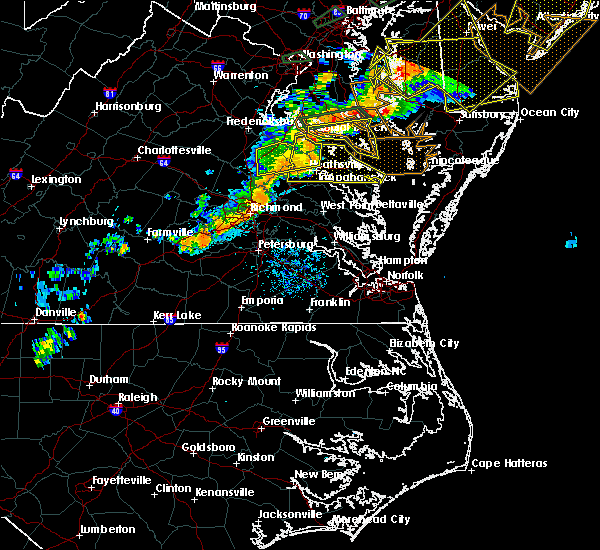 At 752 pm edt, a severe thunderstorm was located over champlain, moving east at 50 mph (radar indicated). Hazards include 60 mph wind gusts. Expect damage to trees and powerlines. this severe thunderstorm will be near, champlain and leedstown around 755 pm edt. tappahannock around 800 pm edt. montross and newland around 805 pm edt. warsaw around 810 pm edt. hague and haynesville around 815 pm edt. callao, kinsale and coles point around 820 pm edt. lewisetta around 830 pm edt. Other locations impacted by this severe thunderstorm include beazley, currioman landing, lottsburg, threeway, avalon, reedville, lyells, westmoreland, mount landing and dodlyt. At 752 pm edt, a severe thunderstorm was located over champlain, moving east at 50 mph (radar indicated). Hazards include 60 mph wind gusts. Expect damage to trees and powerlines. this severe thunderstorm will be near, champlain and leedstown around 755 pm edt. tappahannock around 800 pm edt. montross and newland around 805 pm edt. warsaw around 810 pm edt. hague and haynesville around 815 pm edt. callao, kinsale and coles point around 820 pm edt. lewisetta around 830 pm edt. Other locations impacted by this severe thunderstorm include beazley, currioman landing, lottsburg, threeway, avalon, reedville, lyells, westmoreland, mount landing and dodlyt.
|
| 8/18/2017 7:28 PM EDT |
 At 727 pm edt, a severe thunderstorm was located near fort a.p. hill, or 7 miles east of bowling green, moving east at 50 mph (radar indicated). Hazards include 60 mph wind gusts. Expect damage to trees and powerlines. this severe storm will be near, champlain, leedstown and loretto around 740 pm edt. newland around 745 pm edt. montross around 750 pm edt. Other locations impacted by this severe thunderstorm include lerty, beazley, sparta, hustle, elevon, oak grove, supply, peeds, singerly and central point. At 727 pm edt, a severe thunderstorm was located near fort a.p. hill, or 7 miles east of bowling green, moving east at 50 mph (radar indicated). Hazards include 60 mph wind gusts. Expect damage to trees and powerlines. this severe storm will be near, champlain, leedstown and loretto around 740 pm edt. newland around 745 pm edt. montross around 750 pm edt. Other locations impacted by this severe thunderstorm include lerty, beazley, sparta, hustle, elevon, oak grove, supply, peeds, singerly and central point.
|
| 8/18/2017 7:13 PM EDT |
 At 713 pm edt, a severe thunderstorm was located near milford, moving east at 50 mph (radar indicated). Hazards include 60 mph wind gusts. Expect damage to trees and powerlines. this severe thunderstorm will be near, fort a. p. hill around 725 pm edt. port royal around 730 pm edt. champlain, leedstown and loretto around 740 pm edt. montross and newland around 750 pm edt. Other locations impacted by this severe thunderstorm include beazley, golansville, hustle, elevon, supply, penola, stratford hall, cedon, lerty and sparta. At 713 pm edt, a severe thunderstorm was located near milford, moving east at 50 mph (radar indicated). Hazards include 60 mph wind gusts. Expect damage to trees and powerlines. this severe thunderstorm will be near, fort a. p. hill around 725 pm edt. port royal around 730 pm edt. champlain, leedstown and loretto around 740 pm edt. montross and newland around 750 pm edt. Other locations impacted by this severe thunderstorm include beazley, golansville, hustle, elevon, supply, penola, stratford hall, cedon, lerty and sparta.
|
| 7/22/2017 7:20 PM EDT |
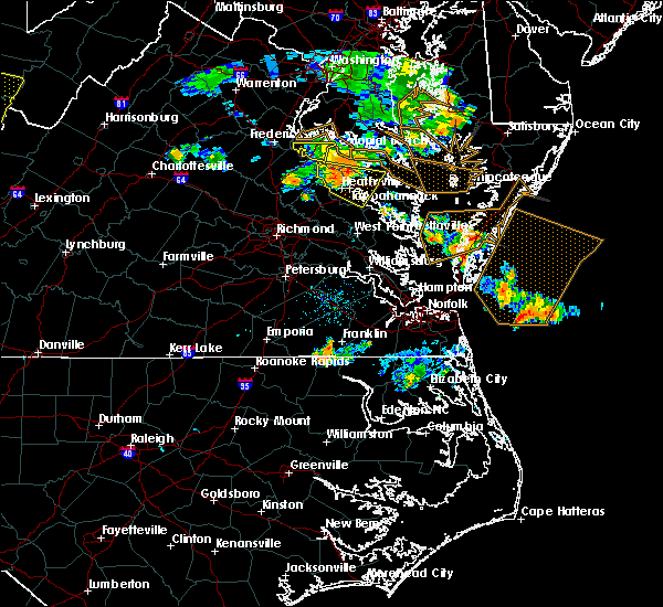 At 719 pm edt, a severe thunderstorm was located near tappahannock, moving southeast at 25 mph (radar indicated). Hazards include 60 mph wind gusts. Expect damage to trees and powerlines. this severe storm will be near, tappahannock around 730 pm edt. warsaw and dunnsville around 740 pm edt. haynesville and center cross around 745 pm edt. Other locations impacted by this severe thunderstorm include wellford, ethel, threeway, hustle, elevon, peeds, bowlers wharf, singerly, upright and rexburg. At 719 pm edt, a severe thunderstorm was located near tappahannock, moving southeast at 25 mph (radar indicated). Hazards include 60 mph wind gusts. Expect damage to trees and powerlines. this severe storm will be near, tappahannock around 730 pm edt. warsaw and dunnsville around 740 pm edt. haynesville and center cross around 745 pm edt. Other locations impacted by this severe thunderstorm include wellford, ethel, threeway, hustle, elevon, peeds, bowlers wharf, singerly, upright and rexburg.
|
| 7/22/2017 7:04 PM EDT |
 At 704 pm edt, a severe thunderstorm was located over champlain, moving southeast at 25 mph (radar indicated). Hazards include 60 mph wind gusts. Expect damage to trees and powerlines. this severe thunderstorm will be near, newland around 720 pm edt. tappahannock around 730 pm edt. warsaw and dunnsville around 740 pm edt. haynesville and center cross around 745 pm edt. Other locations impacted by this severe thunderstorm include beazley, threeway, hustle, elevon, supply, upright, lyells, kennard, mount landing and piney grove. At 704 pm edt, a severe thunderstorm was located over champlain, moving southeast at 25 mph (radar indicated). Hazards include 60 mph wind gusts. Expect damage to trees and powerlines. this severe thunderstorm will be near, newland around 720 pm edt. tappahannock around 730 pm edt. warsaw and dunnsville around 740 pm edt. haynesville and center cross around 745 pm edt. Other locations impacted by this severe thunderstorm include beazley, threeway, hustle, elevon, supply, upright, lyells, kennard, mount landing and piney grove.
|
| 7/6/2017 8:33 PM EDT |
 At 833 pm edt, severe thunderstorms were located along a line extending from near montross to newland to near champlain, moving east at 30 mph (radar indicated). Hazards include 60 mph wind gusts and quarter size hail. Minor damage to vehicles is possible. expect wind damage to trees and powerlines. Locations impacted include, tappahannock, montross, champlain, newland, coles point, hague, loretto, leedstown, currioman landing, threeway, hustle, elevon, mount holly, stratford hall, lyells, mount landing, erica, piney grove, templeman and lerty. At 833 pm edt, severe thunderstorms were located along a line extending from near montross to newland to near champlain, moving east at 30 mph (radar indicated). Hazards include 60 mph wind gusts and quarter size hail. Minor damage to vehicles is possible. expect wind damage to trees and powerlines. Locations impacted include, tappahannock, montross, champlain, newland, coles point, hague, loretto, leedstown, currioman landing, threeway, hustle, elevon, mount holly, stratford hall, lyells, mount landing, erica, piney grove, templeman and lerty.
|
| 7/6/2017 8:17 PM EDT |
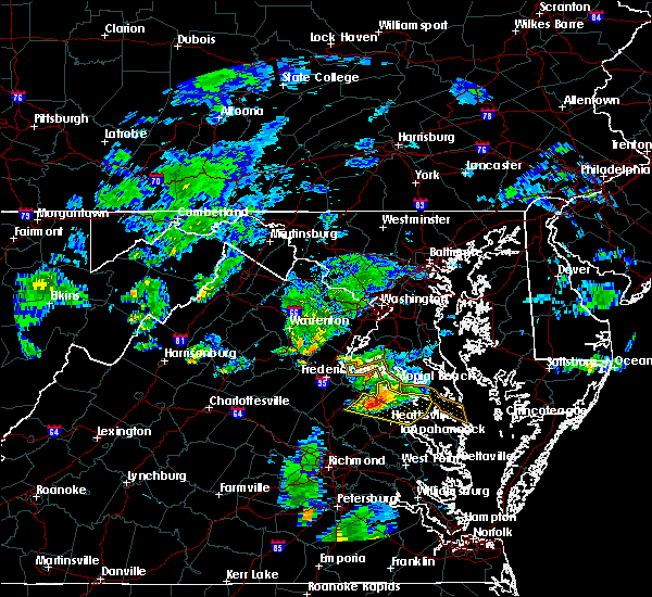 At 816 pm edt, severe thunderstorms were located along a line extending from near colonial beach to loretto to 7 miles northwest of newtown, moving east at 30 mph (radar indicated). Hazards include 60 mph wind gusts and quarter size hail. Minor damage to vehicles is possible. expect wind damage to trees and powerlines. Locations impacted include, colonial beach, tappahannock, warsaw, montross, champlain, newland, coles point, hague, loretto, leedstown, currioman landing, threeway, hustle, potomac beach, elevon, supply, mount holly, stratford hall, lyells and mount landing. At 816 pm edt, severe thunderstorms were located along a line extending from near colonial beach to loretto to 7 miles northwest of newtown, moving east at 30 mph (radar indicated). Hazards include 60 mph wind gusts and quarter size hail. Minor damage to vehicles is possible. expect wind damage to trees and powerlines. Locations impacted include, colonial beach, tappahannock, warsaw, montross, champlain, newland, coles point, hague, loretto, leedstown, currioman landing, threeway, hustle, potomac beach, elevon, supply, mount holly, stratford hall, lyells and mount landing.
|
| 7/6/2017 8:01 PM EDT |
 At 758 pm edt, severe thunderstorms were located along a line extending from near king george to near port royal to bowling green, moving east at 30 mph (radar indicated). Hazards include 70 mph wind gusts and quarter size hail. Minor damage to vehicles is possible. expect considerable tree damage. Wind damage is also likely to mobile homes, roofs, and outbuildings. At 758 pm edt, severe thunderstorms were located along a line extending from near king george to near port royal to bowling green, moving east at 30 mph (radar indicated). Hazards include 70 mph wind gusts and quarter size hail. Minor damage to vehicles is possible. expect considerable tree damage. Wind damage is also likely to mobile homes, roofs, and outbuildings.
|
| 6/19/2017 7:07 PM EDT |
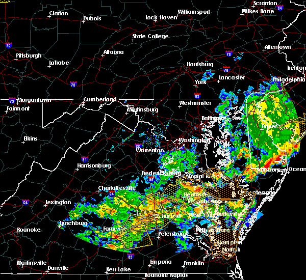 At 705 pm edt, severe thunderstorms were located along a line extending from near leedstown to newland to near sharps, moving east, northeast at 20 mph (radar indicated). Hazards include 60 mph wind gusts. Expect damage to trees and powerlines. Locations impacted include, warsaw and newland. At 705 pm edt, severe thunderstorms were located along a line extending from near leedstown to newland to near sharps, moving east, northeast at 20 mph (radar indicated). Hazards include 60 mph wind gusts. Expect damage to trees and powerlines. Locations impacted include, warsaw and newland.
|
| 6/19/2017 6:42 PM EDT |
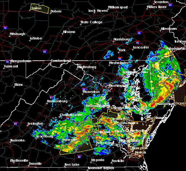 At 641 pm edt, severe thunderstorms were located along a line extending from near bowling green to near champlain to near millers tavern, moving northeast at 45 mph (radar indicated). Hazards include 60 mph wind gusts. Expect damage to trees and powerlines. severe thunderstorms will be near, tappahannock, champlain, loretto and dunnsville around 645 pm edt. leedstown around 650 pm edt. warsaw and newland around 655 pm edt. montross and haynesville around 700 pm edt. hague and kinsale around 710 pm edt. colonial beach and coles point around 715 pm edt. Other locations impacted by these severe thunderstorms include beazley, currioman landing, lottsburg, threeway, hustle, potomac beach, elevon, supply, mount holly and upright. At 641 pm edt, severe thunderstorms were located along a line extending from near bowling green to near champlain to near millers tavern, moving northeast at 45 mph (radar indicated). Hazards include 60 mph wind gusts. Expect damage to trees and powerlines. severe thunderstorms will be near, tappahannock, champlain, loretto and dunnsville around 645 pm edt. leedstown around 650 pm edt. warsaw and newland around 655 pm edt. montross and haynesville around 700 pm edt. hague and kinsale around 710 pm edt. colonial beach and coles point around 715 pm edt. Other locations impacted by these severe thunderstorms include beazley, currioman landing, lottsburg, threeway, hustle, potomac beach, elevon, supply, mount holly and upright.
|
| 5/30/2017 8:33 PM EDT |
 At 832 pm edt, a severe thunderstorm was located near newland, or near montross, moving southeast at 20 mph (radar indicated). Hazards include 60 mph wind gusts and quarter size hail. Minor damage to vehicles is possible. expect wind damage to trees and powerlines. this severe storm will be near, montross and newland around 845 pm edt. Other locations impacted by this severe thunderstorm include lerty, stratford hall, currioman landing, potomac mills, peeds, singerly, foneswood and westmoreland state. At 832 pm edt, a severe thunderstorm was located near newland, or near montross, moving southeast at 20 mph (radar indicated). Hazards include 60 mph wind gusts and quarter size hail. Minor damage to vehicles is possible. expect wind damage to trees and powerlines. this severe storm will be near, montross and newland around 845 pm edt. Other locations impacted by this severe thunderstorm include lerty, stratford hall, currioman landing, potomac mills, peeds, singerly, foneswood and westmoreland state.
|
| 5/30/2017 7:53 PM EDT |
 At 752 pm edt, a severe thunderstorm was located near king george, moving southeast at 30 mph (radar indicated). Hazards include 60 mph wind gusts and quarter size hail. Minor damage to vehicles is possible. expect wind damage to trees and powerlines. this severe thunderstorm will be near, colonial beach around 810 pm edt. leedstown around 815 pm edt. montross and newland around 830 pm edt. Other locations impacted by this severe thunderstorm include lerty, stratford hall, currioman landing, potomac beach, potomac mills, oak grove, peeds, singerly, foneswood and westmoreland state. At 752 pm edt, a severe thunderstorm was located near king george, moving southeast at 30 mph (radar indicated). Hazards include 60 mph wind gusts and quarter size hail. Minor damage to vehicles is possible. expect wind damage to trees and powerlines. this severe thunderstorm will be near, colonial beach around 810 pm edt. leedstown around 815 pm edt. montross and newland around 830 pm edt. Other locations impacted by this severe thunderstorm include lerty, stratford hall, currioman landing, potomac beach, potomac mills, oak grove, peeds, singerly, foneswood and westmoreland state.
|
| 5/19/2017 7:00 PM EDT |
 A severe thunderstorm warning remains in effect until 715 pm edt for northwestern northumberland. richmond and westmoreland counties. at 700 pm edt, a severe thunderstorm was located over piney point, moving east at 20 mph. hazard. 60 mph wind gusts and quarter size hail. A severe thunderstorm warning remains in effect until 715 pm edt for northwestern northumberland. richmond and westmoreland counties. at 700 pm edt, a severe thunderstorm was located over piney point, moving east at 20 mph. hazard. 60 mph wind gusts and quarter size hail.
|
| 5/19/2017 6:37 PM EDT |
 At 636 pm edt, a severe thunderstorm was located over hague, or 7 miles south of white point beach, moving east at 20 mph (radar indicated). Hazards include 60 mph wind gusts and quarter size hail. Minor damage to vehicles is possible. expect wind damage to trees and powerlines. this severe thunderstorm will be near, coles point and kinsale around 645 pm edt. Other locations impacted by this severe thunderstorm include currioman landing, lottsburg, threeway, hustle, mount holly, stratford hall, lyells, middletons corner, kennard and westmoreland. At 636 pm edt, a severe thunderstorm was located over hague, or 7 miles south of white point beach, moving east at 20 mph (radar indicated). Hazards include 60 mph wind gusts and quarter size hail. Minor damage to vehicles is possible. expect wind damage to trees and powerlines. this severe thunderstorm will be near, coles point and kinsale around 645 pm edt. Other locations impacted by this severe thunderstorm include currioman landing, lottsburg, threeway, hustle, mount holly, stratford hall, lyells, middletons corner, kennard and westmoreland.
|
| 5/19/2017 6:25 PM EDT |
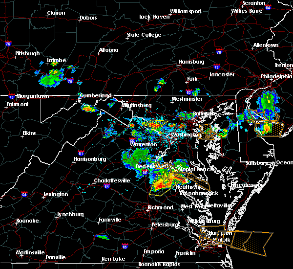 At 624 pm edt, a severe thunderstorm was located near montross, moving east at 15 mph (radar indicated). Hazards include 60 mph wind gusts and quarter size hail. Minor damage to vehicles is possible. expect wind damage to trees and powerlines. This severe thunderstorm will remain over mainly rural areas of northwestern king and queen, northwestern richmond, eastern caroline, northwestern westmoreland, northwestern king william and northwestern essex counties, including the following locations: rappahannock academy, lerty, beazley, sparta, currioman landing, hustle, potomac beach, rollins fork, elevon and oak grove. At 624 pm edt, a severe thunderstorm was located near montross, moving east at 15 mph (radar indicated). Hazards include 60 mph wind gusts and quarter size hail. Minor damage to vehicles is possible. expect wind damage to trees and powerlines. This severe thunderstorm will remain over mainly rural areas of northwestern king and queen, northwestern richmond, eastern caroline, northwestern westmoreland, northwestern king william and northwestern essex counties, including the following locations: rappahannock academy, lerty, beazley, sparta, currioman landing, hustle, potomac beach, rollins fork, elevon and oak grove.
|
| 5/19/2017 6:15 PM EDT | Trees down on va route 3 between potomac mills and the intersection of route 3 and longwood roa in westmoreland county VA, 7.5 miles SE of Montross, VA |
| 5/19/2017 6:07 PM EDT |
 At 607 pm edt, a severe thunderstorm was located near leedstown, or near colonial beach, moving east at 25 mph (radar indicated). Hazards include 60 mph wind gusts and quarter size hail. Minor damage to vehicles is possible. expect wind damage to trees and powerlines. this severe thunderstorm will be near, montross around 625 pm edt. Other locations impacted by this severe thunderstorm include beazley, currioman landing, hustle, potomac beach, elevon, supply, penola, stratford hall, duane fork and rappahannock academy. At 607 pm edt, a severe thunderstorm was located near leedstown, or near colonial beach, moving east at 25 mph (radar indicated). Hazards include 60 mph wind gusts and quarter size hail. Minor damage to vehicles is possible. expect wind damage to trees and powerlines. this severe thunderstorm will be near, montross around 625 pm edt. Other locations impacted by this severe thunderstorm include beazley, currioman landing, hustle, potomac beach, elevon, supply, penola, stratford hall, duane fork and rappahannock academy.
|
| 5/5/2017 8:43 AM EDT |
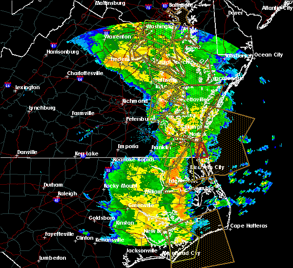 At 842 am edt, severe thunderstorms were located along a line extending from 6 miles southwest of golden beach to near coles point to sharps, moving east at 40 mph (radar indicated). Hazards include 60 mph wind gusts. Expect damage to roofs, siding, and trees. these severe storms will be near, heathsville around 900 am edt. Other locations impacted by these severe thunderstorms include currioman landing, lottsburg, threeway, avalon, mount holly, stratford hall, tidewater, lyells, middletons corner and kennard. At 842 am edt, severe thunderstorms were located along a line extending from 6 miles southwest of golden beach to near coles point to sharps, moving east at 40 mph (radar indicated). Hazards include 60 mph wind gusts. Expect damage to roofs, siding, and trees. these severe storms will be near, heathsville around 900 am edt. Other locations impacted by these severe thunderstorms include currioman landing, lottsburg, threeway, avalon, mount holly, stratford hall, tidewater, lyells, middletons corner and kennard.
|
| 5/5/2017 8:28 AM EDT |
 At 828 am edt, severe thunderstorms were located along a line extending from 7 miles southeast of popes creek to near hague to near center cross, moving northeast at 40 mph (radar indicated). Hazards include 60 mph wind gusts. Expect damage to roofs, siding, and trees. severe thunderstorms will be near, hague and kinsale around 835 am edt. coles point around 840 am edt. robley, farnham and haynesville around 850 am edt. callao around 855 am edt. heathsville around 900 am edt. lewisetta around 905 am edt. Other locations impacted by these severe thunderstorms include currioman landing, lottsburg, threeway, avalon, mount holly, upright, ino, stratford hall, tidewater and lyells. At 828 am edt, severe thunderstorms were located along a line extending from 7 miles southeast of popes creek to near hague to near center cross, moving northeast at 40 mph (radar indicated). Hazards include 60 mph wind gusts. Expect damage to roofs, siding, and trees. severe thunderstorms will be near, hague and kinsale around 835 am edt. coles point around 840 am edt. robley, farnham and haynesville around 850 am edt. callao around 855 am edt. heathsville around 900 am edt. lewisetta around 905 am edt. Other locations impacted by these severe thunderstorms include currioman landing, lottsburg, threeway, avalon, mount holly, upright, ino, stratford hall, tidewater and lyells.
|
| 5/5/2017 8:13 AM EDT |
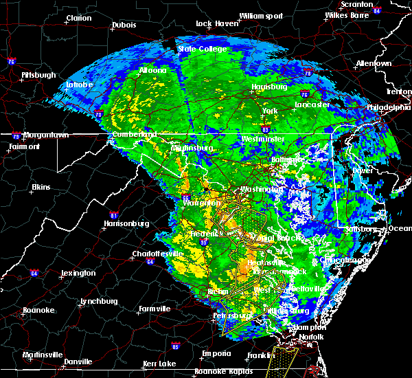 At 812 am edt, severe thunderstorms were located along a line extending from near dahlgren to near newland to near king william, moving northeast at 40 mph (radar indicated). Hazards include 60 mph wind gusts. Expect damage to roofs, siding, and trees. these severe storms will be near, colonial beach, warsaw, montross and newland around 820 am edt. millers tavern around 825 am edt. center cross and dunnsville around 830 am edt. other locations impacted by these severe thunderstorms include currioman landing, threeway, hustle, potomac beach, elevon, supply, mount holly, upright, ino and rose garden. A tornado watch remains in effect until 100 pm edt for east central virginia. At 812 am edt, severe thunderstorms were located along a line extending from near dahlgren to near newland to near king william, moving northeast at 40 mph (radar indicated). Hazards include 60 mph wind gusts. Expect damage to roofs, siding, and trees. these severe storms will be near, colonial beach, warsaw, montross and newland around 820 am edt. millers tavern around 825 am edt. center cross and dunnsville around 830 am edt. other locations impacted by these severe thunderstorms include currioman landing, threeway, hustle, potomac beach, elevon, supply, mount holly, upright, ino and rose garden. A tornado watch remains in effect until 100 pm edt for east central virginia.
|
| 5/5/2017 7:39 AM EDT |
 At 738 am edt, severe thunderstorms were located along a line extending from near bowling green to near mangohick to near highland springs, moving northeast at 40 mph (radar indicated). Hazards include 60 mph wind gusts. Expect damage to roofs, siding, and trees. severe thunderstorms will be near, bowling green, beulahville and aylett around 745 am edt. saint stephens church, newtown and fort a. p. hill around 750 am edt. port royal and tunstall around 755 am edt. manquin and millers tavern around 800 am edt. tappahannock and champlain around 805 am edt. king william around 810 am edt. colonial beach, king and queen court house, stevensville and newland around 815 am edt. warsaw and montross around 820 am edt. other locations impacted by these severe thunderstorms include beazley, currioman landing, threeway, etna mills, montrose, sandston, biscoe, lyells, chamberlayne and atlee. A tornado watch remains in effect until 100 pm edt for east central virginia. At 738 am edt, severe thunderstorms were located along a line extending from near bowling green to near mangohick to near highland springs, moving northeast at 40 mph (radar indicated). Hazards include 60 mph wind gusts. Expect damage to roofs, siding, and trees. severe thunderstorms will be near, bowling green, beulahville and aylett around 745 am edt. saint stephens church, newtown and fort a. p. hill around 750 am edt. port royal and tunstall around 755 am edt. manquin and millers tavern around 800 am edt. tappahannock and champlain around 805 am edt. king william around 810 am edt. colonial beach, king and queen court house, stevensville and newland around 815 am edt. warsaw and montross around 820 am edt. other locations impacted by these severe thunderstorms include beazley, currioman landing, threeway, etna mills, montrose, sandston, biscoe, lyells, chamberlayne and atlee. A tornado watch remains in effect until 100 pm edt for east central virginia.
|
| 4/21/2017 8:09 PM EDT | Quarter sized hail reported 6.3 miles WSW of Montross, VA, one inch diameter hail and small trees down on federal farm road. caller may have seen a brief tornado or funnel cloud while giving report [looking toward mount holly]. |
| 4/21/2017 8:09 PM EDT | Numerous large trees down on skyview drive. patio furniture and trampoline have also been blown awa in westmoreland county VA, 6.1 miles WSW of Montross, VA |
| 4/21/2017 7:46 PM EDT |
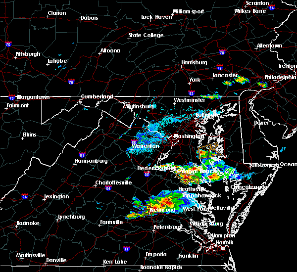 At 746 pm edt, a severe thunderstorm was located near montross, moving east at 30 mph (trained weather spotters in or near colonial beach have reported 1.00 to 1.25 inch diameter hail and uprooted or snapped large trees, which occurred around 730 to 735 pm. in addition, wind gusts of 60 mph were observed via a weatherflow sensor located at monroe creek). Hazards include 60 mph wind gusts and half dollar size hail. Hail damage to vehicles is expected. expect wind damage to roofs, siding, and trees. this severe thunderstorm will remain over mainly rural areas of central westmoreland county, including the following locations: lerty, stratford hall and currioman landing. precautionary/preparedness actions, for your protection move to an interior room on the lowest floor of a building. prepare immediately for large hail and deadly cloud to ground lightning. seek shelter inside a well-built structure. stay away from windows. please send your reports of hail and or wind damage, including trees or large limbs downed, by calling noaa`s national weather service in wakefield at , 7 5 7, 8 9 9, 2 4 1 5. At 746 pm edt, a severe thunderstorm was located near montross, moving east at 30 mph (trained weather spotters in or near colonial beach have reported 1.00 to 1.25 inch diameter hail and uprooted or snapped large trees, which occurred around 730 to 735 pm. in addition, wind gusts of 60 mph were observed via a weatherflow sensor located at monroe creek). Hazards include 60 mph wind gusts and half dollar size hail. Hail damage to vehicles is expected. expect wind damage to roofs, siding, and trees. this severe thunderstorm will remain over mainly rural areas of central westmoreland county, including the following locations: lerty, stratford hall and currioman landing. precautionary/preparedness actions, for your protection move to an interior room on the lowest floor of a building. prepare immediately for large hail and deadly cloud to ground lightning. seek shelter inside a well-built structure. stay away from windows. please send your reports of hail and or wind damage, including trees or large limbs downed, by calling noaa`s national weather service in wakefield at , 7 5 7, 8 9 9, 2 4 1 5.
|
| 4/21/2017 7:24 PM EDT |
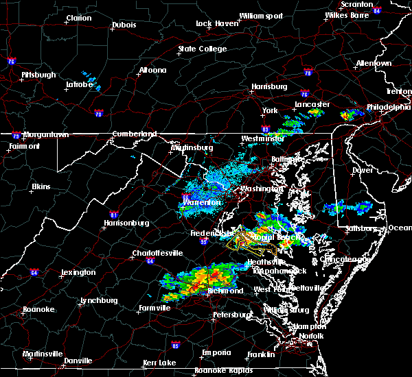 At 724 pm edt, a severe thunderstorm was located over colonial beach, moving southeast at 30 mph (radar indicated). Hazards include 60 mph wind gusts and half dollar size hail. Hail damage to vehicles is expected. expect wind damage to roofs, siding, and trees. this severe thunderstorm will be near, montross around 745 pm edt. Other locations impacted by this severe thunderstorm include lerty, stratford hall, currioman landing, potomac beach, potomac mills and westmoreland state. At 724 pm edt, a severe thunderstorm was located over colonial beach, moving southeast at 30 mph (radar indicated). Hazards include 60 mph wind gusts and half dollar size hail. Hail damage to vehicles is expected. expect wind damage to roofs, siding, and trees. this severe thunderstorm will be near, montross around 745 pm edt. Other locations impacted by this severe thunderstorm include lerty, stratford hall, currioman landing, potomac beach, potomac mills and westmoreland state.
|
| 3/1/2017 2:34 PM EST |
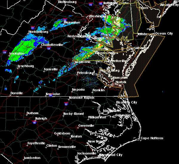 At 234 pm est, a severe thunderstorm was located over hague, or 7 miles northwest of callao, moving east at 60 mph (radar indicated). Hazards include 60 mph wind gusts. Expect damage to roofs, siding, and trees. this severe storm will be near, lewisetta around 240 pm est. other locations impacted by this severe thunderstorm include ethel, lottsburg, threeway, village, mount holly, oldhams, hull neck, lyells, naylors beach and middletons corner. precautionary/preparedness actions, for your protection move to an interior room on the lowest floor of a building. please send your reports of hail and or wind damage, including trees or large limbs downed, by calling noaa`s national weather service in wakefield at , 7 5 7, 8 9 9, 2 4 1 5. At 234 pm est, a severe thunderstorm was located over hague, or 7 miles northwest of callao, moving east at 60 mph (radar indicated). Hazards include 60 mph wind gusts. Expect damage to roofs, siding, and trees. this severe storm will be near, lewisetta around 240 pm est. other locations impacted by this severe thunderstorm include ethel, lottsburg, threeway, village, mount holly, oldhams, hull neck, lyells, naylors beach and middletons corner. precautionary/preparedness actions, for your protection move to an interior room on the lowest floor of a building. please send your reports of hail and or wind damage, including trees or large limbs downed, by calling noaa`s national weather service in wakefield at , 7 5 7, 8 9 9, 2 4 1 5.
|
| 3/1/2017 2:18 PM EST | Tree knocked down. time estimated from rada in westmoreland county VA, 5.1 miles ESE of Montross, VA |
| 3/1/2017 2:07 PM EST |
 At 206 pm est, a severe thunderstorm was located near loretto, or 8 miles northwest of champlain, moving east at 50 mph (radar indicated). Hazards include 60 mph wind gusts. Expect damage to roofs, siding, and trees. this severe thunderstorm will be near, loretto around 210 pm est. champlain and leedstown around 215 pm est. newland around 220 pm est. montross around 225 pm est. warsaw around 230 pm est. hague, kinsale and coles point around 235 pm est. callao around 240 pm est. lewisetta around 245 pm est. Other locations impacted by this severe thunderstorm include beazley, currioman landing, lottsburg, threeway, hustle, elevon, supply, mount holly, stratford hall and lyells. At 206 pm est, a severe thunderstorm was located near loretto, or 8 miles northwest of champlain, moving east at 50 mph (radar indicated). Hazards include 60 mph wind gusts. Expect damage to roofs, siding, and trees. this severe thunderstorm will be near, loretto around 210 pm est. champlain and leedstown around 215 pm est. newland around 220 pm est. montross around 225 pm est. warsaw around 230 pm est. hague, kinsale and coles point around 235 pm est. callao around 240 pm est. lewisetta around 245 pm est. Other locations impacted by this severe thunderstorm include beazley, currioman landing, lottsburg, threeway, hustle, elevon, supply, mount holly, stratford hall and lyells.
|
| 2/25/2017 4:08 PM EST |
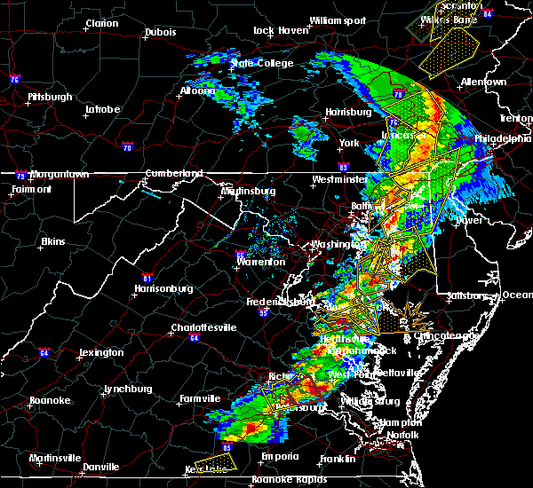 At 408 pm est, a severe thunderstorm capable of producing a tornado was located near coles point, or near montross, moving northeast at 60 mph (radar indicated rotation). Hazards include tornado and ping pong ball size hail. Flying debris will be dangerous to those caught without shelter. mobile homes will be damaged or destroyed. damage to roofs, windows, and vehicles will occur. tree damage is likely. This tornadic thunderstorm will remain over mainly rural areas of central westmoreland county, including the following locations: mount holly, erica and templeman. At 408 pm est, a severe thunderstorm capable of producing a tornado was located near coles point, or near montross, moving northeast at 60 mph (radar indicated rotation). Hazards include tornado and ping pong ball size hail. Flying debris will be dangerous to those caught without shelter. mobile homes will be damaged or destroyed. damage to roofs, windows, and vehicles will occur. tree damage is likely. This tornadic thunderstorm will remain over mainly rural areas of central westmoreland county, including the following locations: mount holly, erica and templeman.
|
| 2/25/2017 3:57 PM EST |
 At 357 pm est, a severe thunderstorm was located near montross, moving northeast at 30 mph (radar indicated). Hazards include ping pong ball size hail and 60 mph wind gusts. People and animals outdoors will be injured. expect hail damage to roofs, siding, windows, and vehicles. expect wind damage to roofs, siding, and trees. this severe thunderstorm will be near, coles point around 415 pm est. Other locations impacted by this severe thunderstorm include lerty, stratford hall, currioman landing, potomac mills, singerly, peeds, foneswood and westmoreland state. At 357 pm est, a severe thunderstorm was located near montross, moving northeast at 30 mph (radar indicated). Hazards include ping pong ball size hail and 60 mph wind gusts. People and animals outdoors will be injured. expect hail damage to roofs, siding, windows, and vehicles. expect wind damage to roofs, siding, and trees. this severe thunderstorm will be near, coles point around 415 pm est. Other locations impacted by this severe thunderstorm include lerty, stratford hall, currioman landing, potomac mills, singerly, peeds, foneswood and westmoreland state.
|
| 2/25/2017 3:52 PM EST |
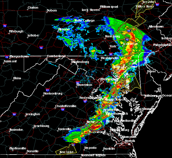 At 351 pm est, a severe thunderstorm was located near montross, moving northeast at 45 mph (radar indicated). Hazards include 60 mph wind gusts and quarter size hail. Hail damage to vehicles is expected. expect wind damage to roofs, siding, and trees. this severe thunderstorm will remain over mainly rural areas of northwestern richmond, west central westmoreland and northwestern essex counties, including the following locations: lerty, stratford hall, potomac mills, singerly, peeds, foneswood, westmoreland state and chance. precautionary/preparedness actions, prepare immediately for large hail and damaging winds. people outside should move to a shelter, inside a strong building and away from windows. please send your reports of hail and or wind damage, including trees or large limbs downed, by calling noaa`s national weather service in wakefield at , 7 5 7, 8 9 9, 2 4 1 5. At 351 pm est, a severe thunderstorm was located near montross, moving northeast at 45 mph (radar indicated). Hazards include 60 mph wind gusts and quarter size hail. Hail damage to vehicles is expected. expect wind damage to roofs, siding, and trees. this severe thunderstorm will remain over mainly rural areas of northwestern richmond, west central westmoreland and northwestern essex counties, including the following locations: lerty, stratford hall, potomac mills, singerly, peeds, foneswood, westmoreland state and chance. precautionary/preparedness actions, prepare immediately for large hail and damaging winds. people outside should move to a shelter, inside a strong building and away from windows. please send your reports of hail and or wind damage, including trees or large limbs downed, by calling noaa`s national weather service in wakefield at , 7 5 7, 8 9 9, 2 4 1 5.
|
| 2/25/2017 3:27 PM EST |
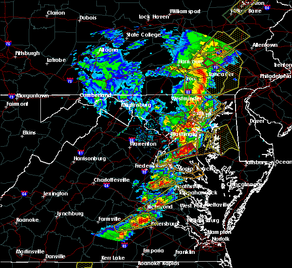 At 327 pm est, a severe thunderstorm was located near loretto, or 8 miles west of champlain, moving northeast at 40 mph (radar indicated). Hazards include 60 mph wind gusts and quarter size hail. Hail damage to vehicles is expected. expect wind damage to roofs, siding, and trees. this severe thunderstorm will be near, loretto around 335 pm est. leedstown around 340 pm est. montross around 350 pm est. Other locations impacted by this severe thunderstorm include lerty, sparta, hustle, potomac beach, rollins fork, oak grove, supply, singerly, peeds and central point. At 327 pm est, a severe thunderstorm was located near loretto, or 8 miles west of champlain, moving northeast at 40 mph (radar indicated). Hazards include 60 mph wind gusts and quarter size hail. Hail damage to vehicles is expected. expect wind damage to roofs, siding, and trees. this severe thunderstorm will be near, loretto around 335 pm est. leedstown around 340 pm est. montross around 350 pm est. Other locations impacted by this severe thunderstorm include lerty, sparta, hustle, potomac beach, rollins fork, oak grove, supply, singerly, peeds and central point.
|
| 8/17/2016 9:41 PM EDT |
 The severe thunderstorm warning for northwestern northumberland, central richmond and westmoreland counties will expire at 945 pm edt, the storms which prompted the warning have moved out of the area. therefore the warning will be allowed to expire. however heavy rain and frequent lightning are still possible with these thunderstorms. The severe thunderstorm warning for northwestern northumberland, central richmond and westmoreland counties will expire at 945 pm edt, the storms which prompted the warning have moved out of the area. therefore the warning will be allowed to expire. however heavy rain and frequent lightning are still possible with these thunderstorms.
|
| 8/17/2016 9:32 PM EDT |
 At 931 pm edt, severe thunderstorms were located along a line extending from near coles point to hague to near lancaster, moving east at 65 mph (radar indicated). Hazards include 60 mph wind gusts. Expect damage to roofs. siding. and trees. these severe storms will be near, lewisetta around 940 pm edt. Other locations impacted by these severe thunderstorms include singerly, templeman, westmoreland state, piney grove, kremlin, village, lyells, gibeon, threeway and foneswood. At 931 pm edt, severe thunderstorms were located along a line extending from near coles point to hague to near lancaster, moving east at 65 mph (radar indicated). Hazards include 60 mph wind gusts. Expect damage to roofs. siding. and trees. these severe storms will be near, lewisetta around 940 pm edt. Other locations impacted by these severe thunderstorms include singerly, templeman, westmoreland state, piney grove, kremlin, village, lyells, gibeon, threeway and foneswood.
|
| 8/17/2016 9:15 PM EDT |
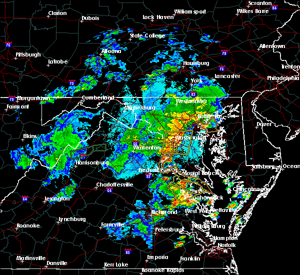 At 914 pm edt, severe thunderstorms were located along a line extending from near colonial beach to near leedstown to near sharps, moving northeast at 30 mph (radar indicated). Hazards include 60 mph wind gusts. Expect damage to roofs. siding. and trees. these severe storms will be near, haynesville around 920 pm edt. montross around 925 pm edt. callao around 930 pm edt. kinsale around 935 pm edt. lewisetta around 940 pm edt. coles point around 945 pm edt. Other locations impacted by these severe thunderstorms include singerly, templeman, westmoreland state, piney grove, kremlin, village, lyells, gibeon, threeway and foneswood. At 914 pm edt, severe thunderstorms were located along a line extending from near colonial beach to near leedstown to near sharps, moving northeast at 30 mph (radar indicated). Hazards include 60 mph wind gusts. Expect damage to roofs. siding. and trees. these severe storms will be near, haynesville around 920 pm edt. montross around 925 pm edt. callao around 930 pm edt. kinsale around 935 pm edt. lewisetta around 940 pm edt. coles point around 945 pm edt. Other locations impacted by these severe thunderstorms include singerly, templeman, westmoreland state, piney grove, kremlin, village, lyells, gibeon, threeway and foneswood.
|
| 8/17/2016 8:59 PM EDT |
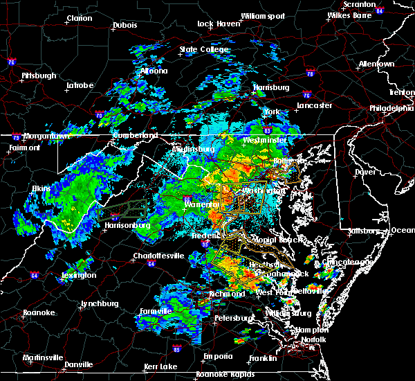 At 858 pm edt, severe thunderstorms were located along a line extending from fort a.p. hill to loretto to near center cross, moving northeast at 30 mph (radar indicated). Hazards include 60 mph wind gusts. Expect damage to roofs. siding. and trees. severe thunderstorms will be near, leedstown around 905 pm edt. newland around 915 pm edt. montross and haynesville around 920 pm edt. callao and kinsale around 930 pm edt. colonial beach around 935 pm edt. lewisetta and coles point around 940 pm edt. Other locations impacted by these severe thunderstorms include singerly, templeman, westmoreland state, piney grove, kremlin, village, lyells, gibeon, threeway and foneswood. At 858 pm edt, severe thunderstorms were located along a line extending from fort a.p. hill to loretto to near center cross, moving northeast at 30 mph (radar indicated). Hazards include 60 mph wind gusts. Expect damage to roofs. siding. and trees. severe thunderstorms will be near, leedstown around 905 pm edt. newland around 915 pm edt. montross and haynesville around 920 pm edt. callao and kinsale around 930 pm edt. colonial beach around 935 pm edt. lewisetta and coles point around 940 pm edt. Other locations impacted by these severe thunderstorms include singerly, templeman, westmoreland state, piney grove, kremlin, village, lyells, gibeon, threeway and foneswood.
|
| 7/28/2016 9:43 PM EDT |
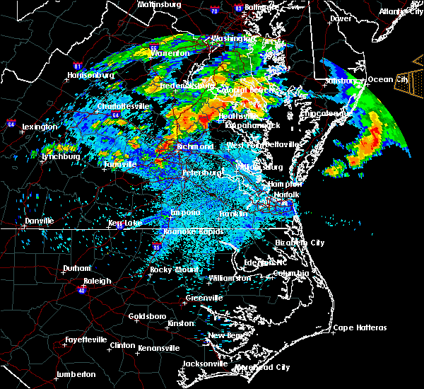 At 942 pm edt, a severe thunderstorm was located near newtown, or near saint stephens church, moving east at 25 mph (radar indicated). Hazards include 60 mph wind gusts and quarter size hail. Hail damage to vehicles is expected. expect wind damage to roofs, siding, and trees. this severe thunderstorm will be near, millers tavern around 955 pm edt. tappahannock around 1005 pm edt. dunnsville around 1010 pm edt. warsaw around 1020 pm edt. sharps around 1025 pm edt. Other locations impacted by this severe thunderstorm include rexburg, tidewater, templeman, elevon, brays fork, piney grove, lyells, emmerton, owenton and howertons. At 942 pm edt, a severe thunderstorm was located near newtown, or near saint stephens church, moving east at 25 mph (radar indicated). Hazards include 60 mph wind gusts and quarter size hail. Hail damage to vehicles is expected. expect wind damage to roofs, siding, and trees. this severe thunderstorm will be near, millers tavern around 955 pm edt. tappahannock around 1005 pm edt. dunnsville around 1010 pm edt. warsaw around 1020 pm edt. sharps around 1025 pm edt. Other locations impacted by this severe thunderstorm include rexburg, tidewater, templeman, elevon, brays fork, piney grove, lyells, emmerton, owenton and howertons.
|
| 6/16/2016 9:37 PM EDT |
 At 937 pm edt, severe thunderstorms were located along a line extending from near popes creek to near newtown to wyndham, moving east at 50 mph (radar indicated). Hazards include 70 mph wind gusts and half dollar size hail. Hail damage to vehicles is expected. expect considerable tree damage. wind damage is also likely to mobile homes, roofs, and outbuildings. severe thunderstorms will be near, newtown and beulahville around 940 pm edt. mechanicsville, champlain and hanover around 950 pm edt. tappahannock, studley and millers tavern around 955 pm edt. dunnsville and manquin around 1000 pm edt. warsaw, sharps and center cross around 1005 pm edt. king william, farnham, morattico and haynesville around 1010 pm edt. robley, king and queen court house, callao and stevensville around 1015 pm edt. lancaster and heathsville around 1020 pm edt. Other locations impacted by these severe thunderstorms include supply, singerly, water view, elevon, hustle, epworth, nuttsville, lyells, sparta and threeway. At 937 pm edt, severe thunderstorms were located along a line extending from near popes creek to near newtown to wyndham, moving east at 50 mph (radar indicated). Hazards include 70 mph wind gusts and half dollar size hail. Hail damage to vehicles is expected. expect considerable tree damage. wind damage is also likely to mobile homes, roofs, and outbuildings. severe thunderstorms will be near, newtown and beulahville around 940 pm edt. mechanicsville, champlain and hanover around 950 pm edt. tappahannock, studley and millers tavern around 955 pm edt. dunnsville and manquin around 1000 pm edt. warsaw, sharps and center cross around 1005 pm edt. king william, farnham, morattico and haynesville around 1010 pm edt. robley, king and queen court house, callao and stevensville around 1015 pm edt. lancaster and heathsville around 1020 pm edt. Other locations impacted by these severe thunderstorms include supply, singerly, water view, elevon, hustle, epworth, nuttsville, lyells, sparta and threeway.
|
| 2/24/2016 6:38 PM EST |
 At 638 pm est, doppler radar indicated a tornado. this dangerous storm was located near millers tavern, or near tappahannock, and moving northeast at 50 mph. * this dangerous storm will be near, warsaw and newland around 650 pm est. montross around 655 pm est. hague around 700 pm est. coles point and kinsale around 705 pm est. other locations impacted by this tornadic thunderstorm include singerly, templeman, westmoreland state, piney grove, kremlin, village, lyells, gibeon, threeway and foneswood. At 638 pm est, doppler radar indicated a tornado. this dangerous storm was located near millers tavern, or near tappahannock, and moving northeast at 50 mph. * this dangerous storm will be near, warsaw and newland around 650 pm est. montross around 655 pm est. hague around 700 pm est. coles point and kinsale around 705 pm est. other locations impacted by this tornadic thunderstorm include singerly, templeman, westmoreland state, piney grove, kremlin, village, lyells, gibeon, threeway and foneswood.
|
| 6/27/2015 4:12 PM EDT |
 At 410 pm edt, doppler radar indicated a severe thunderstorm. this storm was centered near loretto, or 9 miles west of champlain, and moving northeast at 45 mph. * this severe thunderstorm will be near, champlain and loretto around 420 pm edt. leedstown around 425 pm edt. montross and newland around 430 pm edt. other locations impacted by this severe thunderstorm include supply, singerly, templeman, elevon, westmoreland state, hustle, chance, sparta, foneswood and currioman landing. severe thunderstorms can and do produce tornadoes. a tornado watch remains in effect until 800 pm edt. At 410 pm edt, doppler radar indicated a severe thunderstorm. this storm was centered near loretto, or 9 miles west of champlain, and moving northeast at 45 mph. * this severe thunderstorm will be near, champlain and loretto around 420 pm edt. leedstown around 425 pm edt. montross and newland around 430 pm edt. other locations impacted by this severe thunderstorm include supply, singerly, templeman, elevon, westmoreland state, hustle, chance, sparta, foneswood and currioman landing. severe thunderstorms can and do produce tornadoes. a tornado watch remains in effect until 800 pm edt.
|
| 6/23/2015 9:54 PM EDT |
 The severe thunderstorm warning for northwestern richmond, northwestern essex, westmoreland and northeastern caroline counties will expire at 1000 pm edt, the storm which prompted the warning has weakened below severe limits, and no longer poses an immediate threat to life or property. therefore the warning will be allowed to expire. The severe thunderstorm warning for northwestern richmond, northwestern essex, westmoreland and northeastern caroline counties will expire at 1000 pm edt, the storm which prompted the warning has weakened below severe limits, and no longer poses an immediate threat to life or property. therefore the warning will be allowed to expire.
|
| 6/23/2015 9:34 PM EDT |
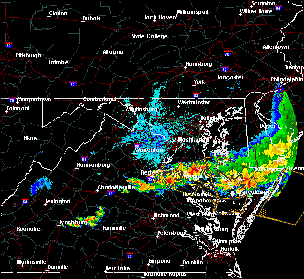 At 934 pm edt, doppler radar indicated a severe thunderstorm capable of producing quarter size hail and damaging winds in excess of 60 mph. this storm was located near port royal, or 8 miles south of king george, moving east at 30 mph. this severe storm will be near, leedstown and loretto around 945 pm edt. montross and newland around 1000 pm edt. other locations impacted by this severe thunderstorm include supply, singerly, templeman, westmoreland state, piney grove, chance, kremlin, lyells, threeway and foneswood. At 934 pm edt, doppler radar indicated a severe thunderstorm capable of producing quarter size hail and damaging winds in excess of 60 mph. this storm was located near port royal, or 8 miles south of king george, moving east at 30 mph. this severe storm will be near, leedstown and loretto around 945 pm edt. montross and newland around 1000 pm edt. other locations impacted by this severe thunderstorm include supply, singerly, templeman, westmoreland state, piney grove, chance, kremlin, lyells, threeway and foneswood.
|
| 6/23/2015 9:15 PM EDT |
 At 914 pm edt, doppler radar indicated a severe thunderstorm capable of producing quarter size hail and damaging winds in excess of 60 mph. this storm was located near port royal, or near king george, and moving east at 40 mph. * this severe thunderstorm will be near, leedstown and loretto around 930 pm edt. champlain around 935 pm edt. montross and newland around 940 pm edt. warsaw around 950 pm edt. hague around 955 pm edt. other locations impacted by this severe thunderstorm include supply, singerly, templeman, rappahannock academy, westmoreland state, hustle, piney grove, chance, kremlin and lyells. At 914 pm edt, doppler radar indicated a severe thunderstorm capable of producing quarter size hail and damaging winds in excess of 60 mph. this storm was located near port royal, or near king george, and moving east at 40 mph. * this severe thunderstorm will be near, leedstown and loretto around 930 pm edt. champlain around 935 pm edt. montross and newland around 940 pm edt. warsaw around 950 pm edt. hague around 955 pm edt. other locations impacted by this severe thunderstorm include supply, singerly, templeman, rappahannock academy, westmoreland state, hustle, piney grove, chance, kremlin and lyells.
|
| 6/20/2015 10:27 PM EDT |
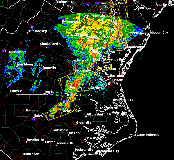 At 1026 pm edt, doppler radar indicated a line of severe thunderstorms capable of producing quarter size hail and damaging winds in excess of 60 mph. these storms were located along a line extending from newland to church view to near norge, moving east at 40 mph. these severe storms will be near, church view, jamaica, saluda and glenns around 1030 pm edt. urbanna around 1035 pm edt. haynesville around 1040 pm edt. gloucester courthouse, kilmarnock, gloucester point, lancaster, hague, kinsale, wicomico and hayes around 1045 pm edt. other locations impacted by these severe thunderstorms include water view, nuttsville, stampers, lyells, ark, threeway, camp peary, naylors beach, samos and oaktree. At 1026 pm edt, doppler radar indicated a line of severe thunderstorms capable of producing quarter size hail and damaging winds in excess of 60 mph. these storms were located along a line extending from newland to church view to near norge, moving east at 40 mph. these severe storms will be near, church view, jamaica, saluda and glenns around 1030 pm edt. urbanna around 1035 pm edt. haynesville around 1040 pm edt. gloucester courthouse, kilmarnock, gloucester point, lancaster, hague, kinsale, wicomico and hayes around 1045 pm edt. other locations impacted by these severe thunderstorms include water view, nuttsville, stampers, lyells, ark, threeway, camp peary, naylors beach, samos and oaktree.
|
| 6/20/2015 10:25 PM EDT | Trees and power lines down near newland in richmond county VA, 3.7 miles NE of Montross, VA |
| 6/20/2015 9:58 PM EDT |
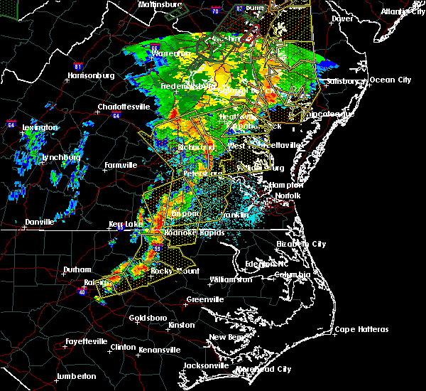 At 957 pm edt, doppler radar indicated a line of severe thunderstorms capable of producing quarter size hail and damaging winds in excess of 60 mph. these storms were located along a line extending from 6 miles northwest of newtown to near king william to near claremont, and moving east at 40 mph. * severe thunderstorms will be near, west point, king and queen court house and stevensville around 1005 pm edt. williamsburg, champlain, norge, toano, college of william and mary, little plymouth and center cross around 1010 pm edt. queens lake, newland, jamaica and church view around 1015 pm edt. gloucester courthouse, warsaw, urbanna, montross, gloucester point, robley, morattico and wicomico around 1020 pm edt. kilmarnock, lancaster, hague and hayes around 1025 pm edt. mathews, mobjack, wicomico church, kinsale, blakes and bavon around 1030 pm edt. fair port around 1035 pm edt. At 957 pm edt, doppler radar indicated a line of severe thunderstorms capable of producing quarter size hail and damaging winds in excess of 60 mph. these storms were located along a line extending from 6 miles northwest of newtown to near king william to near claremont, and moving east at 40 mph. * severe thunderstorms will be near, west point, king and queen court house and stevensville around 1005 pm edt. williamsburg, champlain, norge, toano, college of william and mary, little plymouth and center cross around 1010 pm edt. queens lake, newland, jamaica and church view around 1015 pm edt. gloucester courthouse, warsaw, urbanna, montross, gloucester point, robley, morattico and wicomico around 1020 pm edt. kilmarnock, lancaster, hague and hayes around 1025 pm edt. mathews, mobjack, wicomico church, kinsale, blakes and bavon around 1030 pm edt. fair port around 1035 pm edt.
|
| 6/20/2015 9:27 PM EDT |
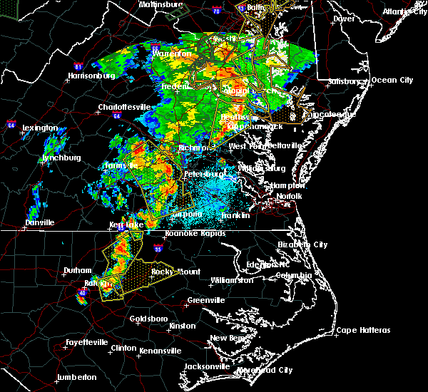 At 926 pm edt, doppler radar indicated a line of severe thunderstorms capable of producing damaging winds in excess of 60 mph. these storms were located along a line extending from prince frederick to near callao to near stevensville, and moving northeast at 40 mph. * severe thunderstorms will be near, lewisetta, jamaica and dunnsville around 940 pm edt. sharps around 945 pm edt. morattico around 950 pm edt. robley and farnham around 955 pm edt. heathsville around 1010 pm edt. other locations impacted by these severe thunderstorms include water view, lara, nuttsville, lyells, gibeon, fleeton, threeway, alfonso, naylors beach and samos. At 926 pm edt, doppler radar indicated a line of severe thunderstorms capable of producing damaging winds in excess of 60 mph. these storms were located along a line extending from prince frederick to near callao to near stevensville, and moving northeast at 40 mph. * severe thunderstorms will be near, lewisetta, jamaica and dunnsville around 940 pm edt. sharps around 945 pm edt. morattico around 950 pm edt. robley and farnham around 955 pm edt. heathsville around 1010 pm edt. other locations impacted by these severe thunderstorms include water view, lara, nuttsville, lyells, gibeon, fleeton, threeway, alfonso, naylors beach and samos.
|
| 6/20/2015 9:23 PM EDT |
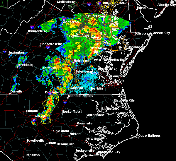 At 923 pm edt, doppler radar indicated a line of severe thunderstorms capable of producing damaging winds in excess of 60 mph. these storms were located along a line extending from near hallowing point to haynesville to near stevensville, moving northeast at 40 mph. these severe thunderstorms will remain over mainly rural areas of richmond, essex, westmoreland, northwestern northumberland, southeastern king william and central king and queen counties, including the following locations, singerly, templeman, downing, westmoreland state, montague, piney grove, village, lyells, gibeon and palls. At 923 pm edt, doppler radar indicated a line of severe thunderstorms capable of producing damaging winds in excess of 60 mph. these storms were located along a line extending from near hallowing point to haynesville to near stevensville, moving northeast at 40 mph. these severe thunderstorms will remain over mainly rural areas of richmond, essex, westmoreland, northwestern northumberland, southeastern king william and central king and queen counties, including the following locations, singerly, templeman, downing, westmoreland state, montague, piney grove, village, lyells, gibeon and palls.
|
| 6/20/2015 9:15 PM EDT |
 At 914 pm edt, doppler radar indicated a line of severe thunderstorms capable of producing damaging winds in excess of 60 mph. these storms were located along a line extending from near golden beach to near warsaw to near king william, moving east at 35 mph. these severe storms will be near, robley, haynesville and farnham around 925 pm edt. callao and kinsale around 930 pm edt. other locations impacted by these severe thunderstorms include singerly, elevon, hustle, lyells, gibeon, threeway, henley fork, naylors beach, indian neck and ino. At 914 pm edt, doppler radar indicated a line of severe thunderstorms capable of producing damaging winds in excess of 60 mph. these storms were located along a line extending from near golden beach to near warsaw to near king william, moving east at 35 mph. these severe storms will be near, robley, haynesville and farnham around 925 pm edt. callao and kinsale around 930 pm edt. other locations impacted by these severe thunderstorms include singerly, elevon, hustle, lyells, gibeon, threeway, henley fork, naylors beach, indian neck and ino.
|
| 6/20/2015 9:15 PM EDT |
 At 923 pm edt, doppler radar indicated a line of severe thunderstorms capable of producing damaging winds in excess of 60 mph. these storms were located along a line extending from near hallowing point to haynesville to near stevensville, moving northeast at 40 mph. these severe thunderstorms will remain over mainly rural areas of richmond, essex, westmoreland, northwestern northumberland, southeastern king william and central king and queen counties, including the following locations, singerly, templeman, downing, westmoreland state, montague, piney grove, village, lyells, gibeon and palls. At 923 pm edt, doppler radar indicated a line of severe thunderstorms capable of producing damaging winds in excess of 60 mph. these storms were located along a line extending from near hallowing point to haynesville to near stevensville, moving northeast at 40 mph. these severe thunderstorms will remain over mainly rural areas of richmond, essex, westmoreland, northwestern northumberland, southeastern king william and central king and queen counties, including the following locations, singerly, templeman, downing, westmoreland state, montague, piney grove, village, lyells, gibeon and palls.
|
| 6/20/2015 8:55 PM EDT | Numerous trees down in westmoreland county VA, 9.3 miles E of Montross, VA |
| 6/20/2015 8:38 PM EDT |
 At 837 pm edt, doppler radar indicated a line of severe thunderstorms capable of producing damaging winds in excess of 60 mph. these storms were located along a line extending from near colonial beach to near king william, and moving northeast at 40 mph. * severe thunderstorms will be near, colonial beach around 845 pm edt. millers tavern around 900 pm edt. center cross and dunnsville around 905 pm edt. tappahannock around 910 pm edt. sharps around 915 pm edt. warsaw, robley and farnham around 920 pm edt. haynesville around 925 pm edt. callao, kinsale and hague around 930 pm edt. other locations impacted by these severe thunderstorms include singerly, elevon, hustle, lyells, gibeon, threeway, henley fork, naylors beach, indian neck and ino. At 837 pm edt, doppler radar indicated a line of severe thunderstorms capable of producing damaging winds in excess of 60 mph. these storms were located along a line extending from near colonial beach to near king william, and moving northeast at 40 mph. * severe thunderstorms will be near, colonial beach around 845 pm edt. millers tavern around 900 pm edt. center cross and dunnsville around 905 pm edt. tappahannock around 910 pm edt. sharps around 915 pm edt. warsaw, robley and farnham around 920 pm edt. haynesville around 925 pm edt. callao, kinsale and hague around 930 pm edt. other locations impacted by these severe thunderstorms include singerly, elevon, hustle, lyells, gibeon, threeway, henley fork, naylors beach, indian neck and ino.
|
| 6/18/2015 8:30 PM EDT | Trees down along newland roa in richmond county VA, 3.7 miles NE of Montross, VA |
| 5/27/2014 9:15 PM EDT | Trees down near hague to kinsal in westmoreland county VA, 10 miles W of Montross, VA |
| 5/22/2014 4:50 PM EDT | Large tree down on a house in westmoreland county VA, 10 miles W of Montross, VA |
| 2/21/2014 12:15 PM EST | Excessive amount of downed trees...more than 10 and finding more via county emt in westmoreland county VA, 4.6 miles ESE of Montross, VA |
| 2/21/2014 12:15 PM EST | Multiple trees and power lines down in westmoreland county VA, 2.5 miles S of Montross, VA |
| 2/21/2014 12:12 PM EST | Roof off a house on flat iron road in the bainsville area. numerous trees and power lines dow in westmoreland county VA, 6.2 miles SE of Montross, VA |
| 6/13/2013 4:23 PM EDT | Numerous trees downed along va-631 in champlain are in essex county VA, 8.2 miles ENE of Montross, VA |
| 6/13/2013 4:10 PM EDT | Numerous trees downed along va-631 in champlain area. time has been corrected to be more consistent with radar estimat in essex county VA, 8.2 miles ENE of Montross, VA |
| 6/13/2013 3:40 PM EDT | Large trees downed onto us-622 in richmond county VA, 4.4 miles ENE of Montross, VA |
| 6/13/2013 3:30 PM EDT | 30 plus trees down across western portion of westmoreland county in westmoreland county VA, 0.7 miles WNW of Montross, VA |
| 6/13/2013 3:15 PM EDT | 30 plus trees down across western portion of westmoreland county in westmoreland county VA, 0.7 miles WNW of Montross, VA |
| 1/1/0001 12:00 AM | The westmoreland county sheriffs office reported a tree blown down blocking finchs hill roa in westmoreland county VA, 1.6 miles ESE of Montross, VA |
| 1/1/0001 12:00 AM | Multiple trees reported down along newland road in newlan in richmond county VA, 3.7 miles NE of Montross, VA |
| 1/1/0001 12:00 AM | Two trees dow in westmoreland county VA, 0.7 miles WNW of Montross, VA |
Hail Maps for Montross, VA


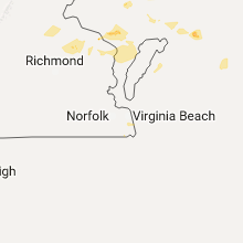

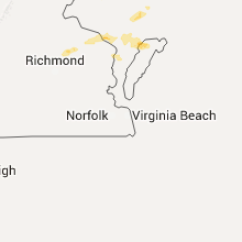

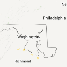


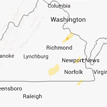


Connect with Interactive Hail Maps