

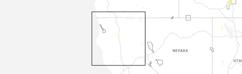
Hail Map for Mountain Gate, CA
The Mountain Gate, CA area has had 0 reports of on-the-ground hail by trained spotters, and has been under severe weather warnings 0 times during the past 12 months. Doppler radar has detected hail at or near Mountain Gate, CA on 4 occasions, including 1 occasion during the past year.
| Name: | Mountain Gate, CA |
| Where Located: | 9.8 miles NNE of Redding, CA |
| Map: | Google Map for Mountain Gate, CA |
| Population: | 943 |
| Housing Units: | 441 |
| More Info: | Search Google for Mountain Gate, CA |
0
The Top Recent Hail Date for Mountain Gate, CA is Tuesday, May 23, 2023 (4th out of 4)
Hail and Wind Damage Spotted near Mountain Gate, CA
| Date / Time | Report Details |
|---|---|
| 5/24/2019 7:59 PM PDT |
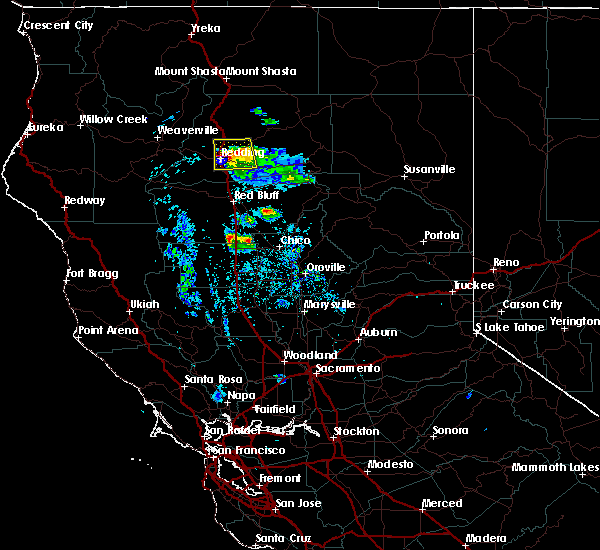 At 758 pm pdt, severe thunderstorms were located along a line extending from 6 miles east of mountain gate to near central valley, moving south at 10 mph (public). Hazards include golf ball size hail and 60 mph wind gusts. People and animals outdoors will be injured. expect hail damage to roofs, siding, windows, and vehicles. expect wind damage to roofs, siding, and trees. Locations impacted include, redding, palo cedro, shasta lake, central valley cdp, millville and central valley. At 758 pm pdt, severe thunderstorms were located along a line extending from 6 miles east of mountain gate to near central valley, moving south at 10 mph (public). Hazards include golf ball size hail and 60 mph wind gusts. People and animals outdoors will be injured. expect hail damage to roofs, siding, windows, and vehicles. expect wind damage to roofs, siding, and trees. Locations impacted include, redding, palo cedro, shasta lake, central valley cdp, millville and central valley.
|
| 5/24/2019 7:45 PM PDT |
 At 744 pm pdt, a severe thunderstorm was located near mountain gate, or 8 miles north of palo cedro, moving south at 15 mph (radar indicated). Hazards include 60 mph wind gusts and quarter size hail. Hail damage to vehicles is expected. Expect wind damage to roofs, siding, and trees. At 744 pm pdt, a severe thunderstorm was located near mountain gate, or 8 miles north of palo cedro, moving south at 15 mph (radar indicated). Hazards include 60 mph wind gusts and quarter size hail. Hail damage to vehicles is expected. Expect wind damage to roofs, siding, and trees.
|
| 3/27/2019 3:38 PM PDT |
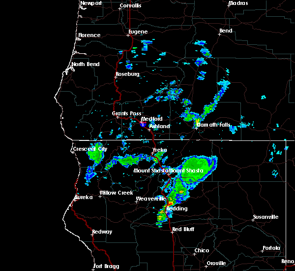 At 337 pm pdt, a severe thunderstorm was located near shasta dam, moving northeast at 20 mph (radar indicated). Hazards include quarter size hail. damage to vehicles is expected At 337 pm pdt, a severe thunderstorm was located near shasta dam, moving northeast at 20 mph (radar indicated). Hazards include quarter size hail. damage to vehicles is expected
|
Hail Maps for Mountain Gate, CA


Connect with Interactive Hail Maps