

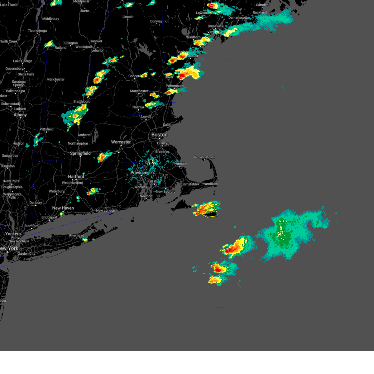
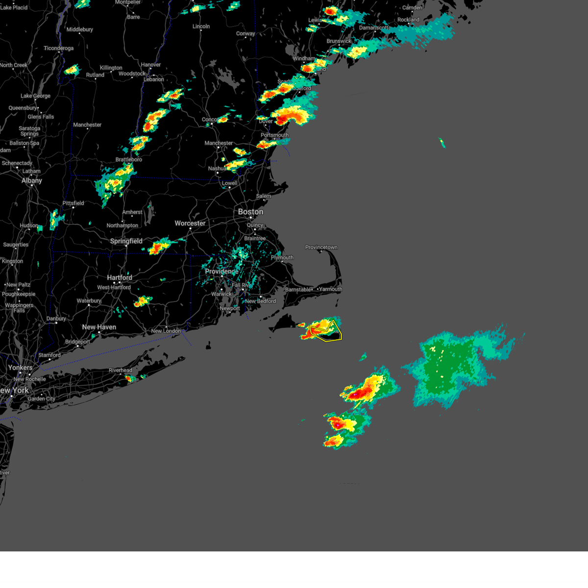
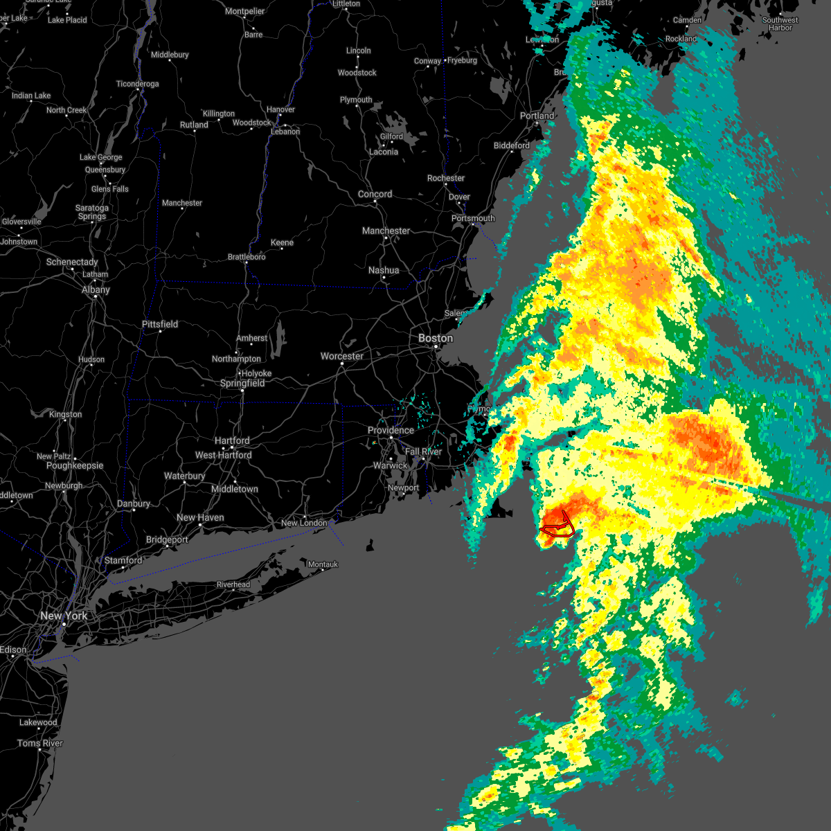
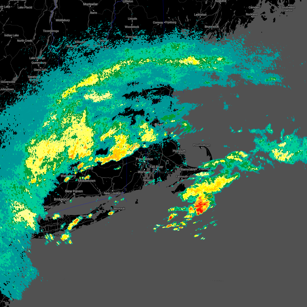
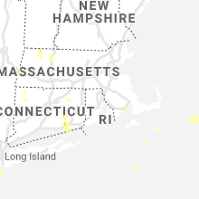
Hail Map for Nantucket, MA
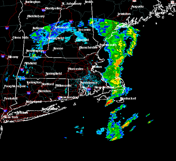
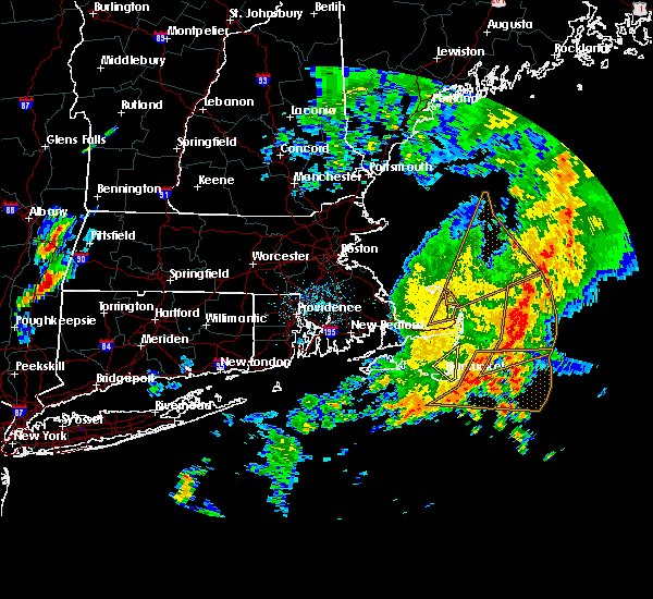
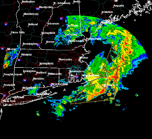
The Nantucket, MA area has had 0 reports of on-the-ground hail by trained spotters, and has been under severe weather warnings 2 times during the past 12 months. Doppler radar has detected hail at or near Nantucket, MA on 2 occasions, including 1 occasion during the past year.
| Name: | Nantucket, MA |
| Where Located: | 78.3 miles ESE of Providence, RI |
| Map: | Google Map for Nantucket, MA |
| Population: | 7446 |
| Housing Units: | 6554 |
| More Info: | Search Google for Nantucket, MA |
5
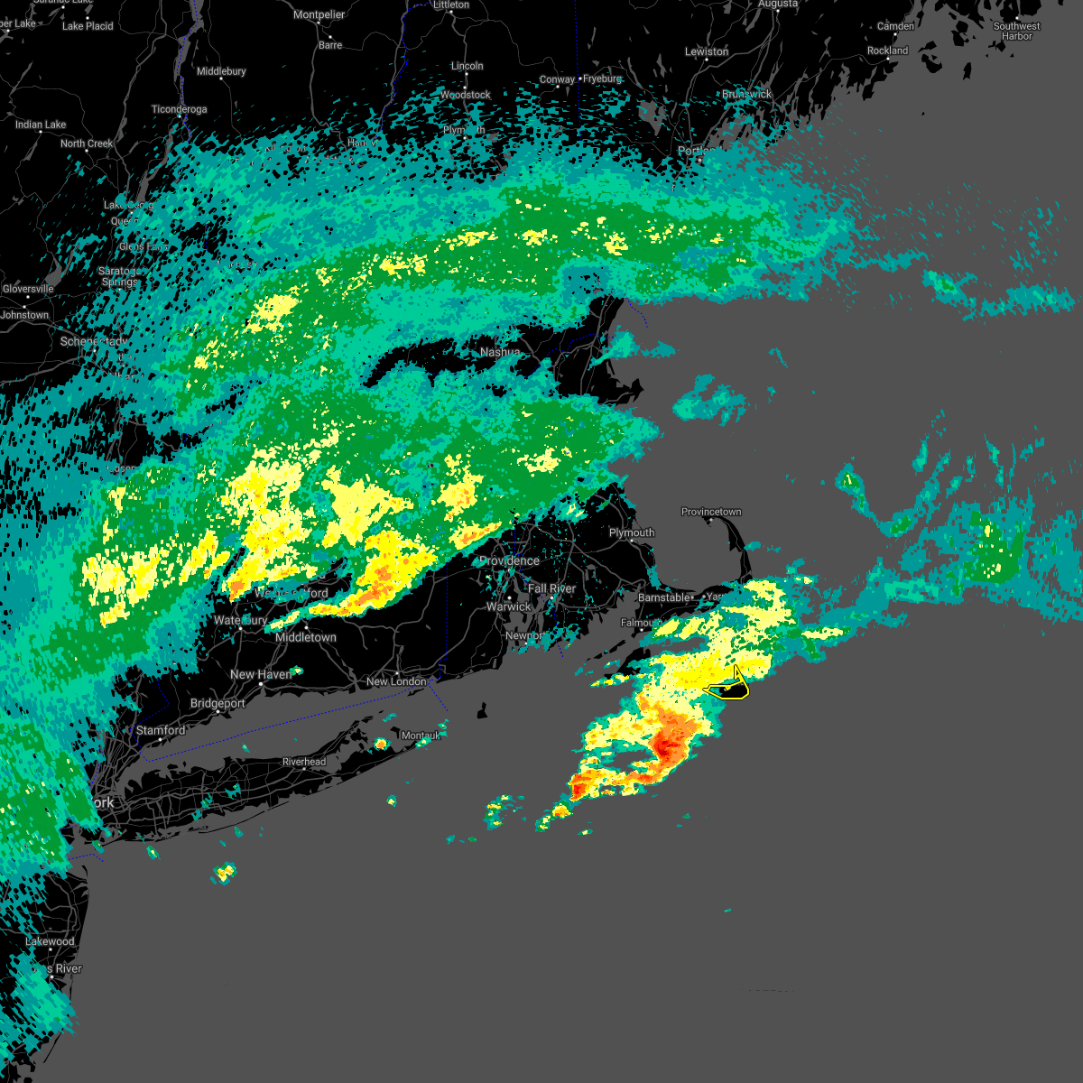
The Top Recent Hail Date for Nantucket, MA is Sunday, August 13, 2023 (1st out of 2)

Hail and Wind Damage Spotted near Nantucket, MA
| Date / Time | Report Details |
|---|---|
| 8/13/2023 2:50 PM EDT | On nantucket... although the worst part of the storm passed just offshore to the north... on jetties beach... tables were overturned and umbrellas broken at a restauran in nantucket county MA, 2.4 miles S of Nantucket, MA |
| 8/13/2023 2:45 PM EDT |
 At 245 pm edt, a severe thunderstorm was located 8 miles northeast of nantucket, moving east at 35 mph (radar indicated). Hazards include 60 mph wind gusts and nickel size hail. Expect damage to roofs, siding, and trees. locations impacted include, nantucket. hail threat, radar indicated max hail size, 0. 88 in wind threat, radar indicated max wind gust, 60 mph. At 245 pm edt, a severe thunderstorm was located 8 miles northeast of nantucket, moving east at 35 mph (radar indicated). Hazards include 60 mph wind gusts and nickel size hail. Expect damage to roofs, siding, and trees. locations impacted include, nantucket. hail threat, radar indicated max hail size, 0. 88 in wind threat, radar indicated max wind gust, 60 mph.
|
| 8/13/2023 2:20 PM EDT |
 At 219 pm edt, a severe thunderstorm was located 8 miles west of nantucket, moving east at 35 mph (radar indicated). Hazards include 60 mph wind gusts and nickel size hail. expect damage to roofs, siding, and trees At 219 pm edt, a severe thunderstorm was located 8 miles west of nantucket, moving east at 35 mph (radar indicated). Hazards include 60 mph wind gusts and nickel size hail. expect damage to roofs, siding, and trees
|
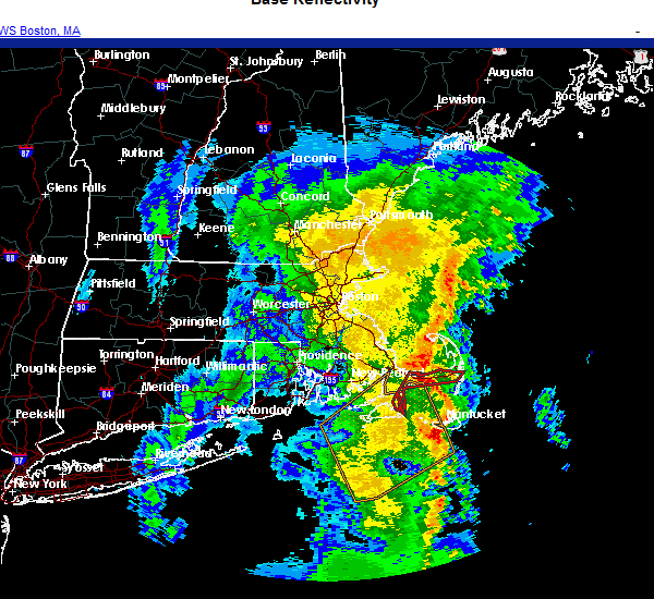
| 11/12/2021 5:52 PM EST |
 At 551 pm est, a severe thunderstorm capable of producing a tornado was located near nantucket, moving northeast at 45 mph (radar indicated rotation). Hazards include tornado. Flying debris will be dangerous to those caught without shelter. mobile homes will be damaged or destroyed. damage to roofs, windows, and vehicles will occur. tree damage is likely. This dangerous storm will be near, nantucket around 605 pm est. At 551 pm est, a severe thunderstorm capable of producing a tornado was located near nantucket, moving northeast at 45 mph (radar indicated rotation). Hazards include tornado. Flying debris will be dangerous to those caught without shelter. mobile homes will be damaged or destroyed. damage to roofs, windows, and vehicles will occur. tree damage is likely. This dangerous storm will be near, nantucket around 605 pm est.
|
| 9/1/2021 5:21 PM EDT |
 At 520 pm edt, a severe thunderstorm was located 13 miles south of nantucket, moving northeast at 30 mph (radar indicated). Hazards include 60 mph wind gusts. Expect damage to trees and power lines. Locations impacted include, nantucket. At 520 pm edt, a severe thunderstorm was located 13 miles south of nantucket, moving northeast at 30 mph (radar indicated). Hazards include 60 mph wind gusts. Expect damage to trees and power lines. Locations impacted include, nantucket.
|
| 9/1/2021 4:52 PM EDT |
 At 449 pm edt, a severe thunderstorm was located 22 miles south of edgartown, moving northeast at 65 mph (radar indicated). Hazards include 60 mph wind gusts. while not imminent, a brief tornado is possible. expect damage to trees and power lines At 449 pm edt, a severe thunderstorm was located 22 miles south of edgartown, moving northeast at 65 mph (radar indicated). Hazards include 60 mph wind gusts. while not imminent, a brief tornado is possible. expect damage to trees and power lines
|
| 11/23/2020 11:54 AM EST |
 At 1153 am est, a severe thunderstorm was located near nantucket, moving northeast at 65 mph (radar indicated). Hazards include 60 mph wind gusts. expect damage to trees and power lines At 1153 am est, a severe thunderstorm was located near nantucket, moving northeast at 65 mph (radar indicated). Hazards include 60 mph wind gusts. expect damage to trees and power lines
|
| 10/7/2020 7:41 PM EDT | Storm damage reported in nantucket county MA, 1.8 miles NW of Nantucket, MA |
| 6/29/2020 9:28 AM EDT |
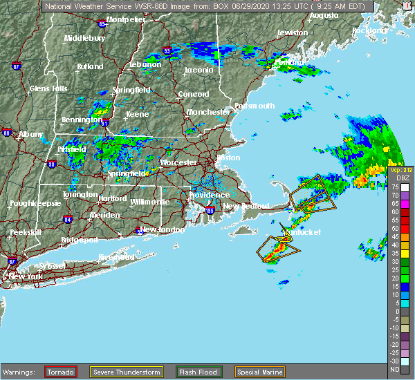 At 927 am edt, a severe thunderstorm was located over nantucket, moving northeast at 20 mph (radar indicated). Hazards include quarter size hail. minor hail damage to vehicles is possible At 927 am edt, a severe thunderstorm was located over nantucket, moving northeast at 20 mph (radar indicated). Hazards include quarter size hail. minor hail damage to vehicles is possible
|
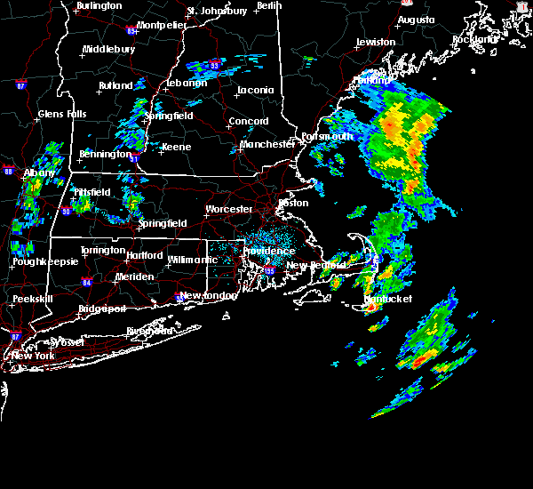
| 4/9/2020 5:12 PM EDT |
 At 509 pm edt, severe thunderstorms were located along a line extending from 10 miles north of nantucket to 33 miles southeast of edgartown, moving east at 65 mph. these storms produced 60 mph gusts on block island and 58 mph gusts in marstons mills (radar indicated). Hazards include 60 mph wind gusts. Expect damage to trees and power lines. Locations impacted include, barnstable, nantucket, brewster, yarmouth, dennis, harwich, chatham, orleans, eastham and hyannis. At 509 pm edt, severe thunderstorms were located along a line extending from 10 miles north of nantucket to 33 miles southeast of edgartown, moving east at 65 mph. these storms produced 60 mph gusts on block island and 58 mph gusts in marstons mills (radar indicated). Hazards include 60 mph wind gusts. Expect damage to trees and power lines. Locations impacted include, barnstable, nantucket, brewster, yarmouth, dennis, harwich, chatham, orleans, eastham and hyannis.
|
| 4/9/2020 4:24 PM EDT |
 At 423 pm edt, severe thunderstorms were located along a line extending from near gosnold to 22 miles south of chilmark, moving east at 65 mph. these storms produced 60 mph gusts on block island (radar indicated). Hazards include 60 mph wind gusts. expect damage to trees and power lines At 423 pm edt, severe thunderstorms were located along a line extending from near gosnold to 22 miles south of chilmark, moving east at 65 mph. these storms produced 60 mph gusts on block island (radar indicated). Hazards include 60 mph wind gusts. expect damage to trees and power lines
|
| 8/8/2019 5:13 AM EDT |
 At 512 am edt, a severe thunderstorm was located near nantucket, moving northeast at 30 mph (radar indicated and the nantucket airport reported at 62 mph wind gust). Hazards include 60 mph wind gusts. Expect damage to trees and power lines. Locations impacted include, nantucket. At 512 am edt, a severe thunderstorm was located near nantucket, moving northeast at 30 mph (radar indicated and the nantucket airport reported at 62 mph wind gust). Hazards include 60 mph wind gusts. Expect damage to trees and power lines. Locations impacted include, nantucket.
|
| 8/8/2019 5:10 AM EDT |
 At 510 am edt, a severe thunderstorm was located near nantucket, moving northeast at 30 mph (radar indicated). Hazards include 60 mph wind gusts. expect damage to trees and power lines At 510 am edt, a severe thunderstorm was located near nantucket, moving northeast at 30 mph (radar indicated). Hazards include 60 mph wind gusts. expect damage to trees and power lines
|
| 8/8/2019 3:48 AM EDT |
 At 347 am edt, a severe thunderstorm was located 10 miles west of nantucket, moving northeast at 30 mph (radar indicated). Hazards include 60 mph wind gusts. expect damage to trees and power lines At 347 am edt, a severe thunderstorm was located 10 miles west of nantucket, moving northeast at 30 mph (radar indicated). Hazards include 60 mph wind gusts. expect damage to trees and power lines
|
| 7/23/2016 12:46 AM EDT |
 At 1246 am edt, a severe thunderstorm was located near west tisbury, or near oak bluffs, moving east at 60 mph (radar indicated). Hazards include 60 mph wind gusts. Expect damage to roofs. siding. And trees. At 1246 am edt, a severe thunderstorm was located near west tisbury, or near oak bluffs, moving east at 60 mph (radar indicated). Hazards include 60 mph wind gusts. Expect damage to roofs. siding. And trees.
|
| 7/2/2016 12:10 AM EDT |
 The severe thunderstorm warning for eastern nantucket county will expire at 1215 am edt, the storm which prompted the warning has moved out of the area. therefore, the warning will be allowed to expire. however heavy rain is still possible with this thunderstorm. The severe thunderstorm warning for eastern nantucket county will expire at 1215 am edt, the storm which prompted the warning has moved out of the area. therefore, the warning will be allowed to expire. however heavy rain is still possible with this thunderstorm.
|
| 7/1/2016 11:51 PM EDT |
 At 1149 pm edt, a severe thunderstorm was located near nantucket, moving northeast at 55 mph. at 1132 pm edt, a 47 mph wind gust was reported at nantucket airport (radar indicated). Hazards include 60 mph wind gusts. Expect damage to roofs. siding. and trees. Locations impacted include, nantucket. At 1149 pm edt, a severe thunderstorm was located near nantucket, moving northeast at 55 mph. at 1132 pm edt, a 47 mph wind gust was reported at nantucket airport (radar indicated). Hazards include 60 mph wind gusts. Expect damage to roofs. siding. and trees. Locations impacted include, nantucket.
|
| 7/1/2016 11:16 PM EDT |
 At 1115 pm edt, severe thunderstorms were located along a line extending from near oak bluffs to 20 miles south of edgartown, moving northeast at 50 mph (radar indicated). Hazards include 60 mph wind gusts. Expect damage to roofs. siding. And trees. At 1115 pm edt, severe thunderstorms were located along a line extending from near oak bluffs to 20 miles south of edgartown, moving northeast at 50 mph (radar indicated). Hazards include 60 mph wind gusts. Expect damage to roofs. siding. And trees.
|
| 1/1/0001 12:00 AM | Shingles blown off house on barrett farm road in nantucket county MA, 0.3 miles SSE of Nantucket, MA |
Hail Maps for Nantucket, MA
Connect with Interactive Hail Maps