

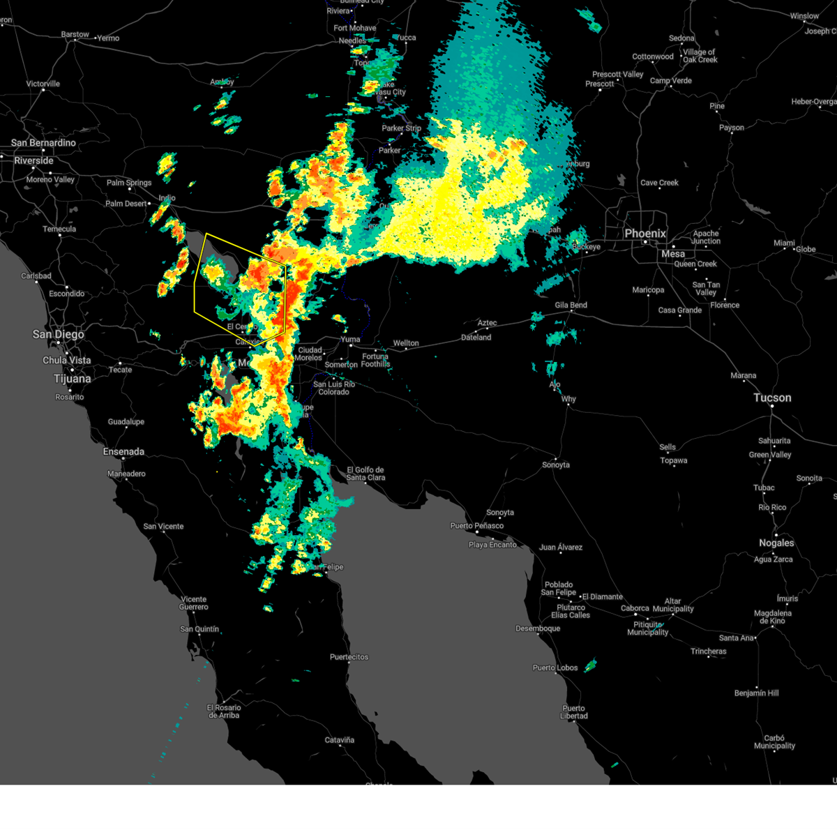
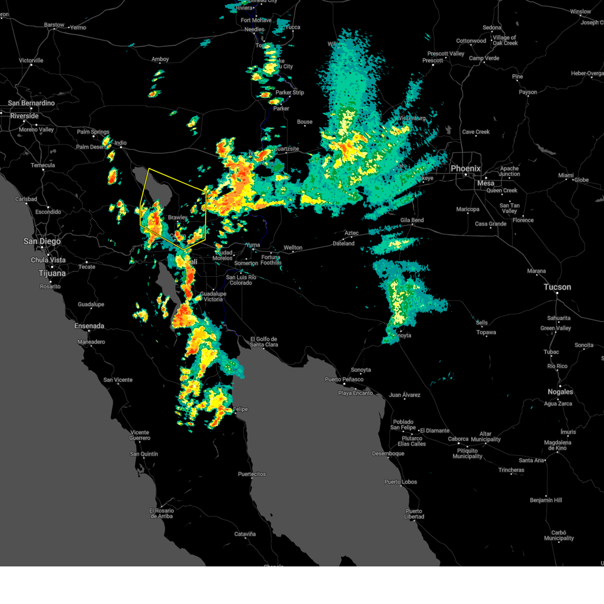
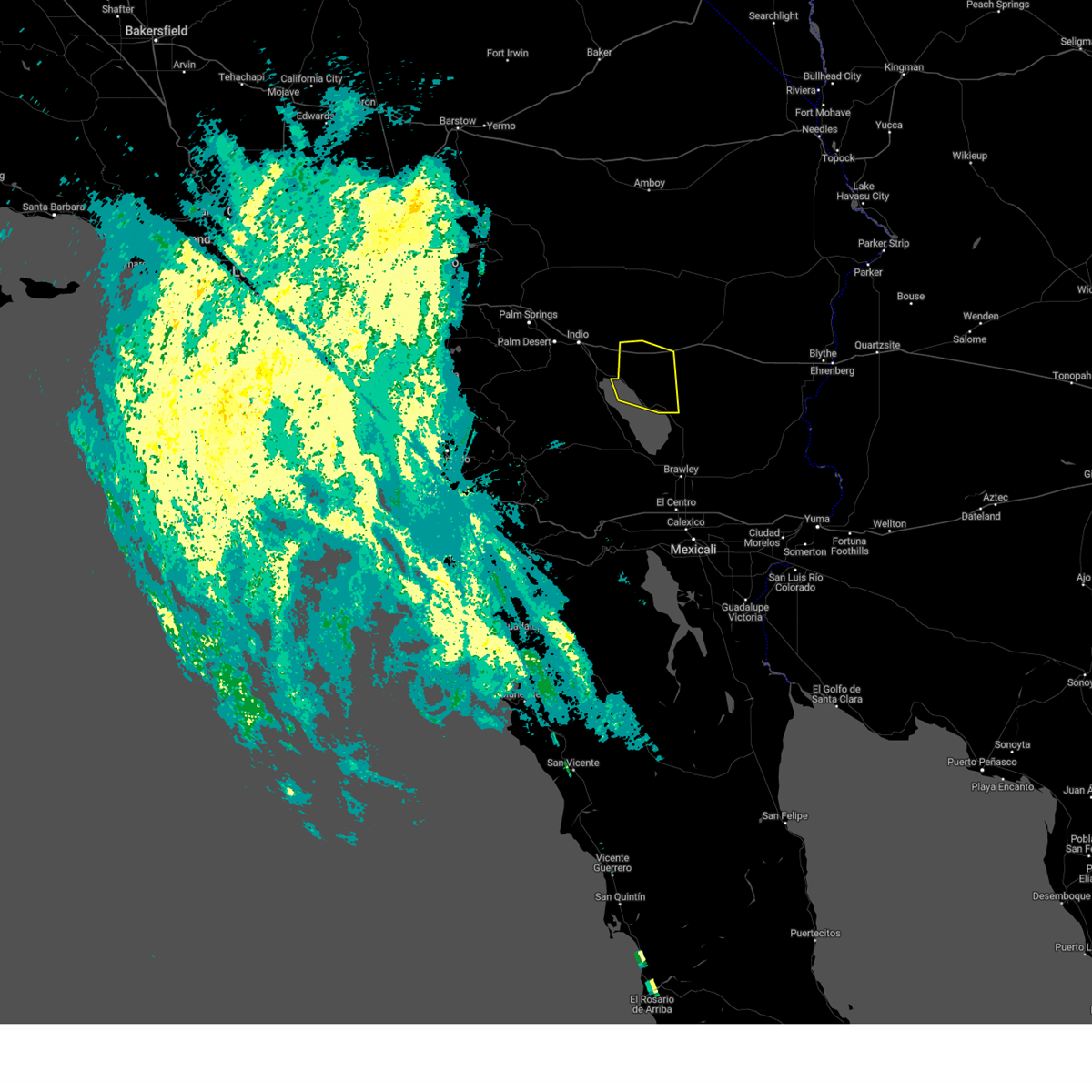
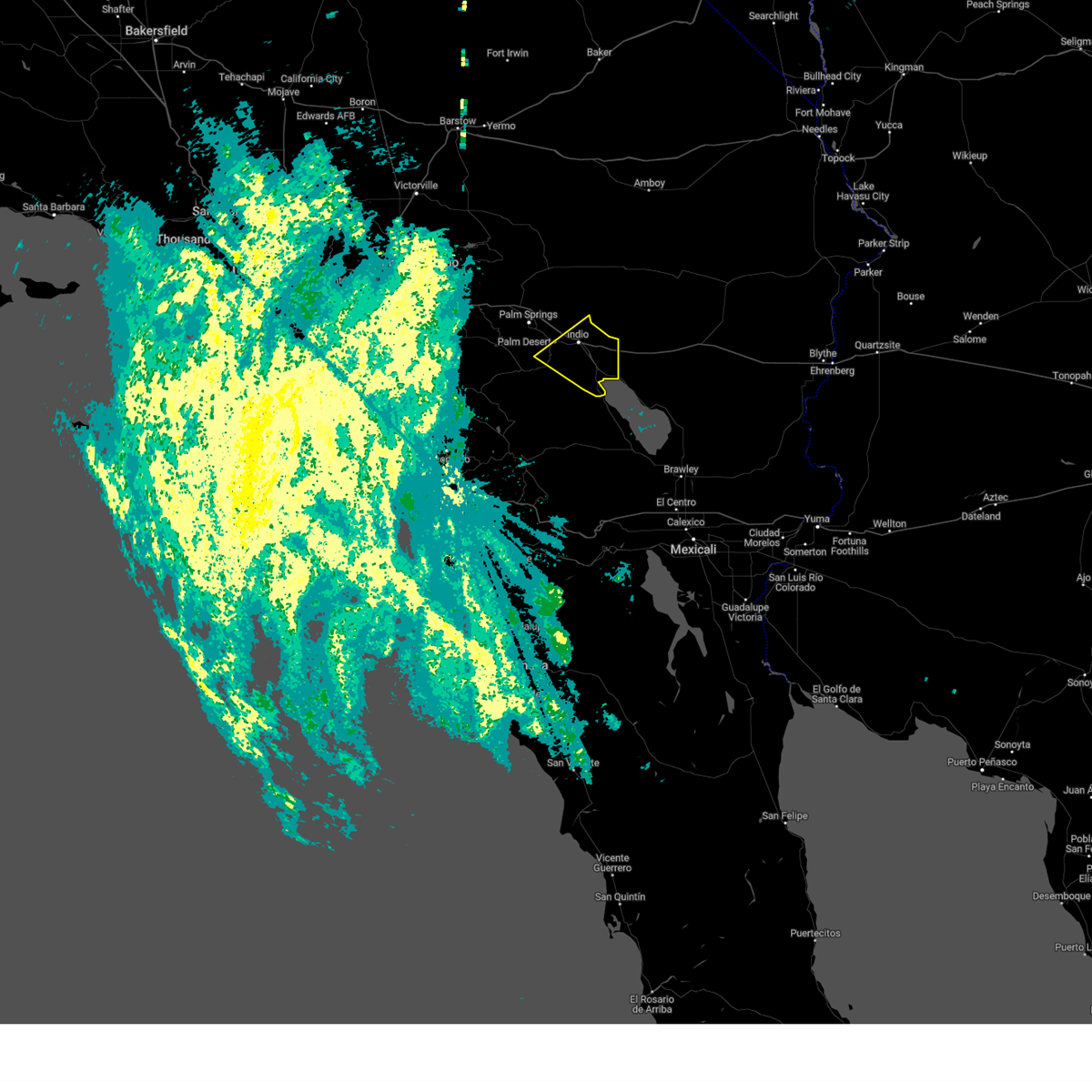
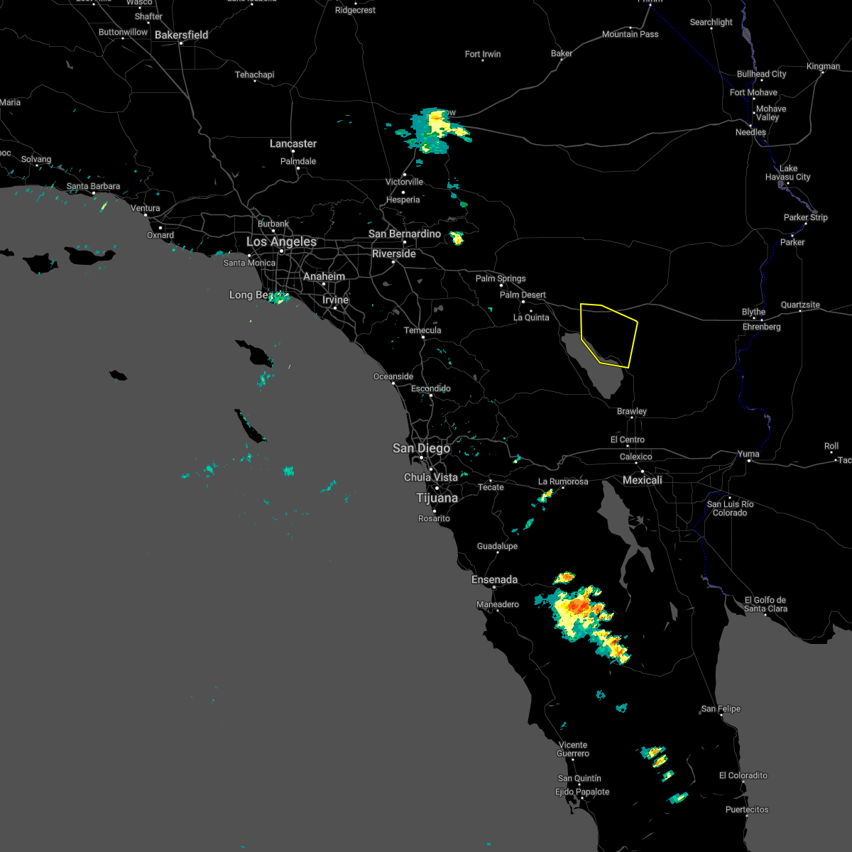
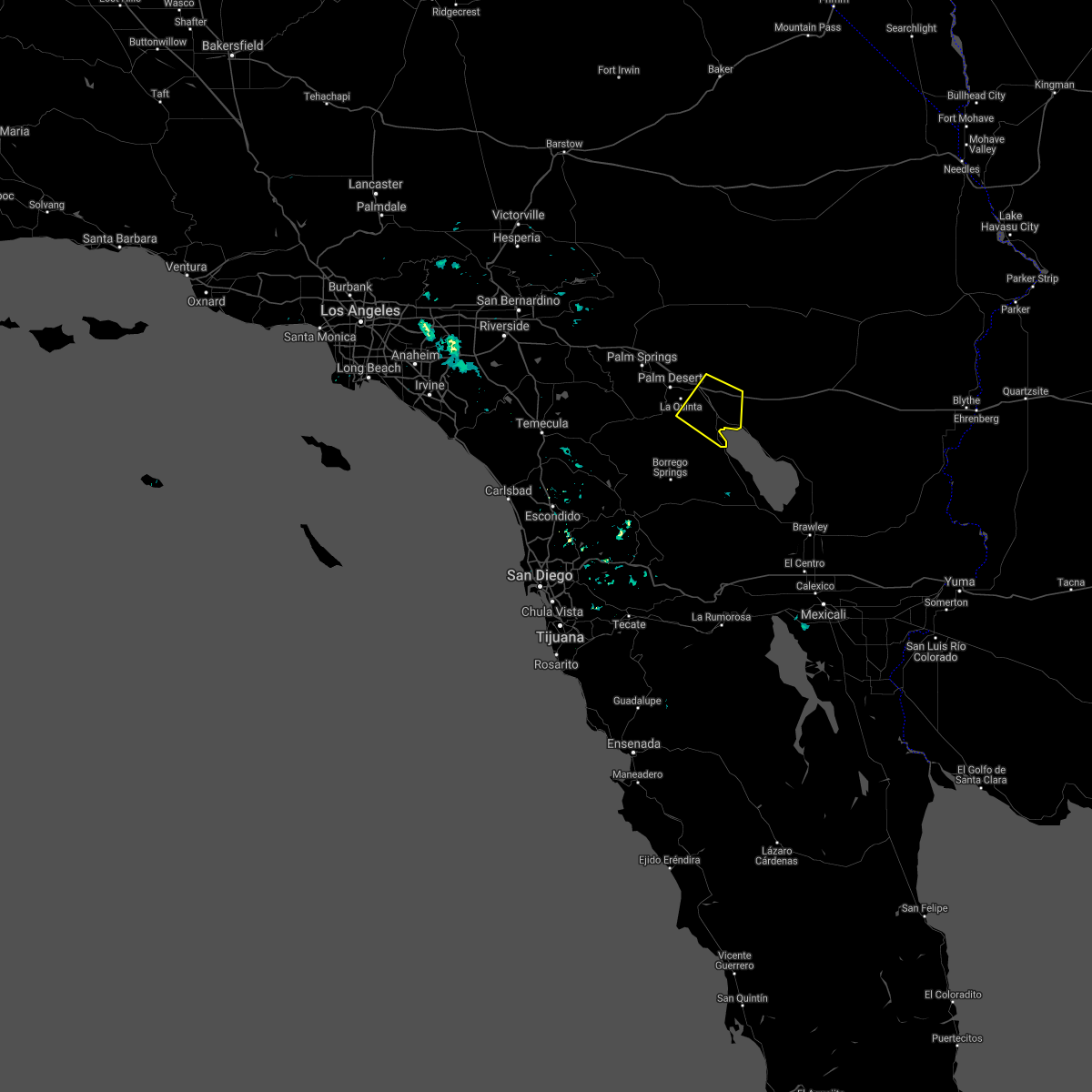
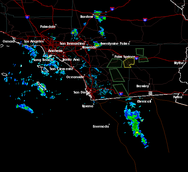
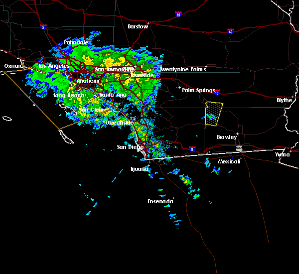
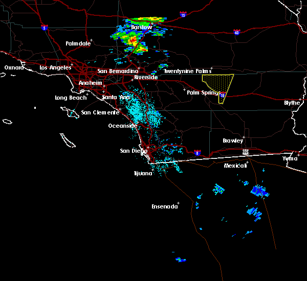
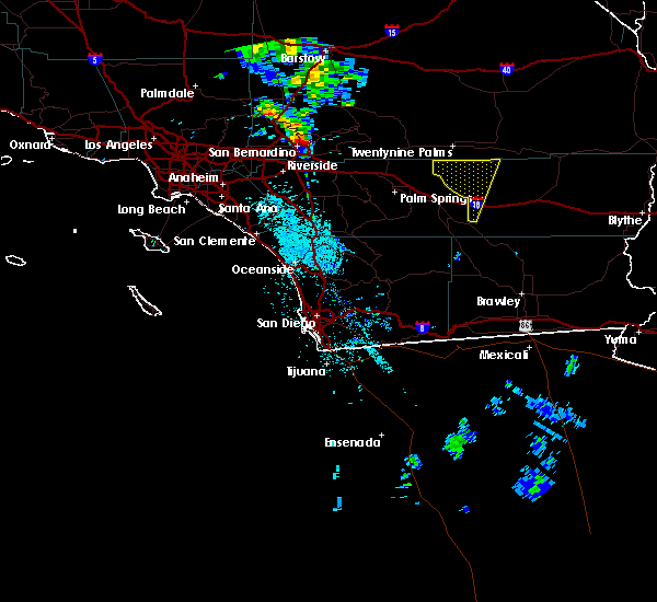
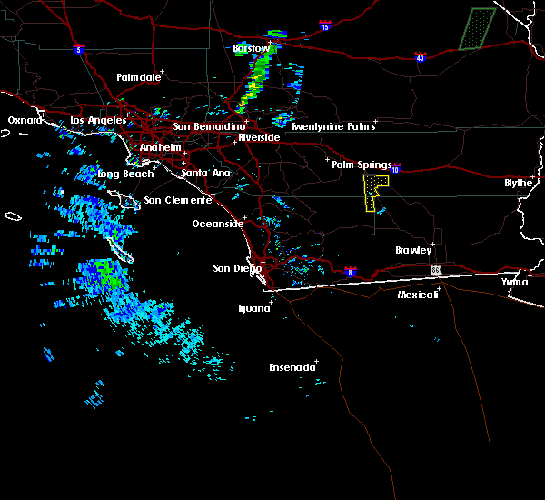
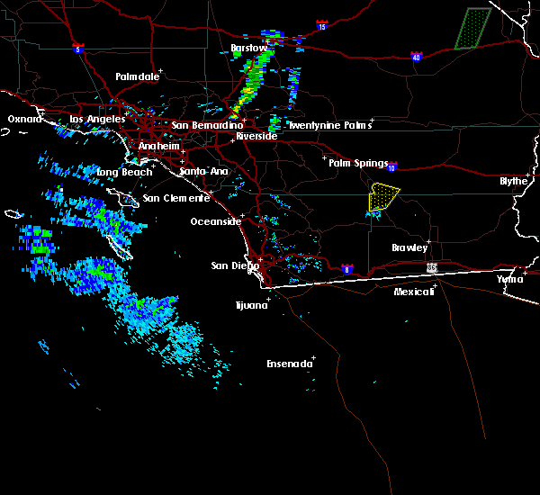
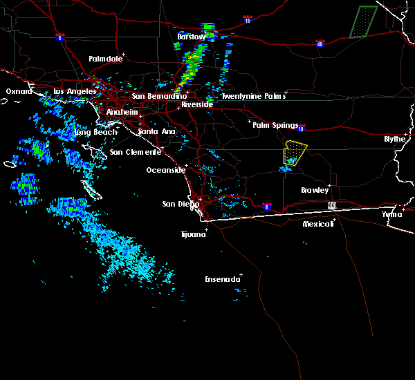
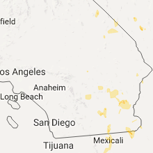
Hail Map for North Shore, CA
The North Shore, CA area has had 0 reports of on-the-ground hail by trained spotters, and has been under severe weather warnings 8 times during the past 12 months. Doppler radar has detected hail at or near North Shore, CA on 6 occasions.
| Name: | North Shore, CA |
| Where Located: | 51.3 miles SE of Yucca Valley, CA |
| Map: | Google Map for North Shore, CA |
| Population: | 3477 |
| Housing Units: | 854 |
| More Info: | Search Google for North Shore, CA |
5
The Top Recent Hail Date for North Shore, CA is Tuesday, September 13, 2011 (1st out of 6)

Hail and Wind Damage Spotted near North Shore, CA
| Date / Time | Report Details |
|---|---|
| 9/1/2023 2:37 PM PDT |
 The severe thunderstorm warning for western imperial and riverside counties will expire at 245 pm pdt, the storms which prompted the warning have weakened below severe limits, and no longer pose an immediate threat to life or property. therefore, the warning will be allowed to expire. however gusty winds and heavy rain are still possible with these thunderstorms. The severe thunderstorm warning for western imperial and riverside counties will expire at 245 pm pdt, the storms which prompted the warning have weakened below severe limits, and no longer pose an immediate threat to life or property. therefore, the warning will be allowed to expire. however gusty winds and heavy rain are still possible with these thunderstorms.
|
| 9/1/2023 1:50 PM PDT |
 At 150 pm pdt, severe thunderstorms were located along a line extending from 10 miles west of westmorland to near imperial, moving north at 25 mph (radar indicated). Hazards include 60 mph wind gusts and penny size hail. expect damage to roofs, siding, and trees At 150 pm pdt, severe thunderstorms were located along a line extending from 10 miles west of westmorland to near imperial, moving north at 25 mph (radar indicated). Hazards include 60 mph wind gusts and penny size hail. expect damage to roofs, siding, and trees
|
| 8/20/2023 1:42 PM PDT |
 The severe thunderstorm warning for northwestern imperial and riverside counties will expire at 145 pm pdt, the storms which prompted the warning have moved out of the area. therefore, the warning will be allowed to expire. however gusty winds and heavy rain are still possible with these thunderstorms. The severe thunderstorm warning for northwestern imperial and riverside counties will expire at 145 pm pdt, the storms which prompted the warning have moved out of the area. therefore, the warning will be allowed to expire. however gusty winds and heavy rain are still possible with these thunderstorms.
|
| 8/20/2023 1:41 PM PDT |
 The severe thunderstorm warning for riverside county will expire at 145 pm pdt, the storm which prompted the warning has weakened below severe limits, and no longer poses an immediate threat to life or property. therefore, the warning will be allowed to expire. The severe thunderstorm warning for riverside county will expire at 145 pm pdt, the storm which prompted the warning has weakened below severe limits, and no longer poses an immediate threat to life or property. therefore, the warning will be allowed to expire.
|
| 8/20/2023 1:32 PM PDT |
 At 131 pm pdt, a severe thunderstorm was located over coachella, moving northwest at 55 mph (radar indicated). Hazards include 60 mph wind gusts. Expect damage to roofs, siding, and trees. Locations impacted include, indio, southeastern palm springs, coachella, palm desert, thermal, hwy 74 between anza and palm desert, la quinta, mecca, indian wells, santa rosa mountain, and bermuda dunes. At 131 pm pdt, a severe thunderstorm was located over coachella, moving northwest at 55 mph (radar indicated). Hazards include 60 mph wind gusts. Expect damage to roofs, siding, and trees. Locations impacted include, indio, southeastern palm springs, coachella, palm desert, thermal, hwy 74 between anza and palm desert, la quinta, mecca, indian wells, santa rosa mountain, and bermuda dunes.
|
| 8/20/2023 1:16 PM PDT |
 At 116 pm pdt, severe thunderstorms were located along a line extending from near north shore to 6 miles north of bombay beach to 20 miles east of salton city, moving north at 40 mph (radar indicated). Hazards include 60 mph wind gusts. Expect damage to roofs, siding, and trees. locations impacted include, chiriaco summit, north shore, bombay beach, and imperial hot mineral springs. this includes the following highways, ca interstate 10 between mile markers 74 and 93. Ca route 111 between mile markers 50 and 65. At 116 pm pdt, severe thunderstorms were located along a line extending from near north shore to 6 miles north of bombay beach to 20 miles east of salton city, moving north at 40 mph (radar indicated). Hazards include 60 mph wind gusts. Expect damage to roofs, siding, and trees. locations impacted include, chiriaco summit, north shore, bombay beach, and imperial hot mineral springs. this includes the following highways, ca interstate 10 between mile markers 74 and 93. Ca route 111 between mile markers 50 and 65.
|
| 8/20/2023 1:07 PM PDT |
 At 107 pm pdt, a severe thunderstorm was located 7 miles northeast of salton sea beach, or 12 miles north of salton city, moving northwest at 55 mph (radar indicated). Hazards include 60 mph wind gusts. expect damage to roofs, siding, and trees At 107 pm pdt, a severe thunderstorm was located 7 miles northeast of salton sea beach, or 12 miles north of salton city, moving northwest at 55 mph (radar indicated). Hazards include 60 mph wind gusts. expect damage to roofs, siding, and trees
|
| 8/20/2023 1:00 PM PDT |
 At 100 pm pdt, severe thunderstorms were located along a line extending from near bombay beach to 16 miles east of salton city to 15 miles north of westmorland, moving north at 40 mph (radar indicated). Hazards include 60 mph wind gusts. expect damage to roofs, siding, and trees At 100 pm pdt, severe thunderstorms were located along a line extending from near bombay beach to 16 miles east of salton city to 15 miles north of westmorland, moving north at 40 mph (radar indicated). Hazards include 60 mph wind gusts. expect damage to roofs, siding, and trees
|
| 8/8/2022 3:26 PM PDT |
 The severe thunderstorm warning for northwestern imperial and riverside counties will expire at 330 pm pdt, the storm which prompted the warning has weakened below severe limits, and no longer poses an immediate threat to life or property. therefore, the warning will be allowed to expire. however gusty winds and heavy rain are still possible with this thunderstorm. to report severe weather, contact your nearest law enforcement agency. they will relay your report to the national weather service phoenix. The severe thunderstorm warning for northwestern imperial and riverside counties will expire at 330 pm pdt, the storm which prompted the warning has weakened below severe limits, and no longer poses an immediate threat to life or property. therefore, the warning will be allowed to expire. however gusty winds and heavy rain are still possible with this thunderstorm. to report severe weather, contact your nearest law enforcement agency. they will relay your report to the national weather service phoenix.
|
| 8/8/2022 3:08 PM PDT |
 At 308 pm pdt, a severe thunderstorm was located 10 miles north of bombay beach, or 10 miles south of chiriaco summit, moving northwest at 5 mph (radar indicated). Hazards include 60 mph wind gusts. Expect damage to roofs, siding, and trees. locations impacted include, chiriaco summit, bombay beach and imperial hot mineral springs. this includes the following highways, ca interstate 10 between mile markers 75 and 88. ca route 111 between mile markers 47 and 65. hail threat, radar indicated max hail size, <. 75 in wind threat, radar indicated max wind gust, 60 mph. At 308 pm pdt, a severe thunderstorm was located 10 miles north of bombay beach, or 10 miles south of chiriaco summit, moving northwest at 5 mph (radar indicated). Hazards include 60 mph wind gusts. Expect damage to roofs, siding, and trees. locations impacted include, chiriaco summit, bombay beach and imperial hot mineral springs. this includes the following highways, ca interstate 10 between mile markers 75 and 88. ca route 111 between mile markers 47 and 65. hail threat, radar indicated max hail size, <. 75 in wind threat, radar indicated max wind gust, 60 mph.
|
| 8/8/2022 2:44 PM PDT |
 At 244 pm pdt, a severe thunderstorm was located 11 miles northeast of bombay beach, or 16 miles southeast of chiriaco summit, moving northwest at 10 mph (radar indicated). Hazards include 60 mph wind gusts. expect damage to roofs, siding, and trees At 244 pm pdt, a severe thunderstorm was located 11 miles northeast of bombay beach, or 16 miles southeast of chiriaco summit, moving northwest at 10 mph (radar indicated). Hazards include 60 mph wind gusts. expect damage to roofs, siding, and trees
|
| 8/31/2021 6:09 PM PDT |
 The severe thunderstorm warning for riverside and northeastern san diego counties will expire at 615 pm pdt, the storm which prompted the warning has weakened below severe limits. therefore, the severe thunderstorms warning will be allowed to expire. however, heavy rain is still occurring and water is likely flowing in normally dry washes. a flash flood warning is in effect for this area until 845 pm. The severe thunderstorm warning for riverside and northeastern san diego counties will expire at 615 pm pdt, the storm which prompted the warning has weakened below severe limits. therefore, the severe thunderstorms warning will be allowed to expire. however, heavy rain is still occurring and water is likely flowing in normally dry washes. a flash flood warning is in effect for this area until 845 pm.
|
| 8/31/2021 5:17 PM PDT |
 At 516 pm pdt, a severe thunderstorm was located 3 miles west of desert shores, or 13 miles northwest of salton city, and is nearly stationary (radar indicated). Hazards include 60 mph wind gusts. expect damage to roofs, siding, and trees At 516 pm pdt, a severe thunderstorm was located 3 miles west of desert shores, or 13 miles northwest of salton city, and is nearly stationary (radar indicated). Hazards include 60 mph wind gusts. expect damage to roofs, siding, and trees
|
| 3/23/2021 4:32 PM PDT |
 At 427 pm pdt, showers producing severe wind gusts to 60 mph was located over thermal, moving southeast at 20 mph. a wind gust of 60 mph was just recorded at jacqueline cochran regional airport (radar indicated). Hazards include 60 mph wind gusts. Expect damage to roofs, siding, and trees. Blowing dust producing sudden restrictions to visibility is possible. At 427 pm pdt, showers producing severe wind gusts to 60 mph was located over thermal, moving southeast at 20 mph. a wind gust of 60 mph was just recorded at jacqueline cochran regional airport (radar indicated). Hazards include 60 mph wind gusts. Expect damage to roofs, siding, and trees. Blowing dust producing sudden restrictions to visibility is possible.
|
| 7/23/2019 5:36 PM PDT |
 At 534 pm pdt, a severe thunderstorm was located near mecca, moving east at 10 mph (numerous reports have been received from department of highways of power poles, power lines, and trees down around and west of mecca). Hazards include 60 mph wind gusts. Expect damage to roofs, siding, and trees. Locations impacted include, coachella, thermal, mecca and santa rosa mountain. At 534 pm pdt, a severe thunderstorm was located near mecca, moving east at 10 mph (numerous reports have been received from department of highways of power poles, power lines, and trees down around and west of mecca). Hazards include 60 mph wind gusts. Expect damage to roofs, siding, and trees. Locations impacted include, coachella, thermal, mecca and santa rosa mountain.
|
| 7/23/2019 5:03 PM PDT |
 At 503 pm pdt, a severe thunderstorm was located over thermal, or 9 miles south of coachella, moving east at 15 mph (radar indicated). Hazards include 60 mph wind gusts. expect damage to roofs, siding, and trees At 503 pm pdt, a severe thunderstorm was located over thermal, or 9 miles south of coachella, moving east at 15 mph (radar indicated). Hazards include 60 mph wind gusts. expect damage to roofs, siding, and trees
|
| 10/12/2018 11:44 PM PDT |
 At 1143 pm pdt, a severe thunderstorm was located near salton city, moving north at 20 mph (radar indicated). Hazards include 60 mph wind gusts and nickel size hail. Expect damage to roofs, siding, and trees. locations impacted include, salton city, salton sea beach, desert shores, coolidge springs and winona. this includes the following highways, ca route 78 between mile markers 6 and 10. ca route 111 between mile markers 64 and 65. Ca route 86 between mile markers 48 and 67. At 1143 pm pdt, a severe thunderstorm was located near salton city, moving north at 20 mph (radar indicated). Hazards include 60 mph wind gusts and nickel size hail. Expect damage to roofs, siding, and trees. locations impacted include, salton city, salton sea beach, desert shores, coolidge springs and winona. this includes the following highways, ca route 78 between mile markers 6 and 10. ca route 111 between mile markers 64 and 65. Ca route 86 between mile markers 48 and 67.
|
| 10/12/2018 11:26 PM PDT |
 At 1126 pm pdt, a severe thunderstorm was located near salton city, moving north at 20 mph (radar indicated). Hazards include 60 mph wind gusts and nickel size hail. expect damage to roofs, siding, and trees At 1126 pm pdt, a severe thunderstorm was located near salton city, moving north at 20 mph (radar indicated). Hazards include 60 mph wind gusts and nickel size hail. expect damage to roofs, siding, and trees
|
| 9/8/2017 6:20 PM PDT |
 At 613 pm pdt, a severe thunderstorm was located near thermal, moving northeast at about 10 mph. winds at thermal airport gusted to 62 mph at 546 pm (radar indicated). Hazards include 60 mph wind gusts and penny size hail. Expect damage to roofs, siding, and trees. Locations impacted include, indio, coachella, thermal, la quinta, mecca and santa rosa mountain. At 613 pm pdt, a severe thunderstorm was located near thermal, moving northeast at about 10 mph. winds at thermal airport gusted to 62 mph at 546 pm (radar indicated). Hazards include 60 mph wind gusts and penny size hail. Expect damage to roofs, siding, and trees. Locations impacted include, indio, coachella, thermal, la quinta, mecca and santa rosa mountain.
|
| 9/8/2017 5:49 PM PDT |
 At 545 pm pdt, a severe thunderstorm was located between coachella and mecca, moving northeast at about 10 mph (radar indicated). Hazards include 60 mph wind gusts and penny size hail. expect damage to roofs, siding, and trees At 545 pm pdt, a severe thunderstorm was located between coachella and mecca, moving northeast at about 10 mph (radar indicated). Hazards include 60 mph wind gusts and penny size hail. expect damage to roofs, siding, and trees
|
| 10/15/2015 2:42 AM PDT |
 At 240 am pdt, doppler radar indicated a severe thunderstorm capable of producing damaging winds in excess of 60 mph. this storm was located 9 miles west of cottonwood visitor, or 13 miles northeast of coachella. this storm continued to move quickly towards the north. the storms were slightly weaker but still capable of producing damaging winds and moderate hail. locations impacted include, lost horse-keys village, central portions of joshua tree national park,. At 240 am pdt, doppler radar indicated a severe thunderstorm capable of producing damaging winds in excess of 60 mph. this storm was located 9 miles west of cottonwood visitor, or 13 miles northeast of coachella. this storm continued to move quickly towards the north. the storms were slightly weaker but still capable of producing damaging winds and moderate hail. locations impacted include, lost horse-keys village, central portions of joshua tree national park,.
|
| 10/15/2015 2:16 AM PDT |
 At 214 am pdt, doppler radar indicated a severe thunderstorm capable of producing damaging winds in excess of 60 mph. this storm was located 9 miles east of coachella, and moving north at 30 mph. penny size hail may also accompany the damaging winds. At 214 am pdt, doppler radar indicated a severe thunderstorm capable of producing damaging winds in excess of 60 mph. this storm was located 9 miles east of coachella, and moving north at 30 mph. penny size hail may also accompany the damaging winds.
|
| 8/6/2015 7:44 PM PDT |
 At 736 pm pdt, doppler radar indicated a severe thunderstorm capable of producing damaging winds in excess of 60 mph. this storm was located 5 miles west of desert shores and was moving north at 40 mph towards mecca and oasis. this will primarily affect the far southeast part of the coachella valley, near the salton sea. very heavy rain will also fall with this storm, along with dangerous lightning. locations impacted include, mecca, thermal, oasis. At 736 pm pdt, doppler radar indicated a severe thunderstorm capable of producing damaging winds in excess of 60 mph. this storm was located 5 miles west of desert shores and was moving north at 40 mph towards mecca and oasis. this will primarily affect the far southeast part of the coachella valley, near the salton sea. very heavy rain will also fall with this storm, along with dangerous lightning. locations impacted include, mecca, thermal, oasis.
|
| 8/6/2015 7:38 PM PDT |
 At 735 pm pdt, doppler radar indicated a severe thunderstorm capable of producing damaging winds in excess of 60 mph. this storm was located just west of desert shores, or 15 miles northwest of salton city, and moving north at 40 mph. At 735 pm pdt, doppler radar indicated a severe thunderstorm capable of producing damaging winds in excess of 60 mph. this storm was located just west of desert shores, or 15 miles northwest of salton city, and moving north at 40 mph.
|
| 8/6/2015 7:35 PM PDT |
 At 735 pm pdt, doppler radar indicated a severe thunderstorm capable of producing damaging winds in excess of 60 mph. this storm was located over desert shores, or 11 miles northwest of salton city, moving north at 25 mph. penny size hail may also accompany the damaging winds. locations impacted include, salton city, desert shores, salton sea beach and coolidge springs. At 735 pm pdt, doppler radar indicated a severe thunderstorm capable of producing damaging winds in excess of 60 mph. this storm was located over desert shores, or 11 miles northwest of salton city, moving north at 25 mph. penny size hail may also accompany the damaging winds. locations impacted include, salton city, desert shores, salton sea beach and coolidge springs.
|
| 8/6/2015 7:26 PM PDT |
 At 726 pm pdt, doppler radar indicated a severe thunderstorm capable of producing damaging winds in excess of 60 mph. this storm was located near salton sea beach, or 9 miles northwest of salton city, and moving north at 25 mph. penny size hail may also accompany the damaging winds. At 726 pm pdt, doppler radar indicated a severe thunderstorm capable of producing damaging winds in excess of 60 mph. this storm was located near salton sea beach, or 9 miles northwest of salton city, and moving north at 25 mph. penny size hail may also accompany the damaging winds.
|
| 1/1/0001 12:00 AM | Delayed report. 60 ft tall tree with 3 in. diameter trunk blown down and demolished a fence. observer estimated winds to be 60 to 70 mp in riverside county CA, 15.5 miles SW of North Shore, CA |
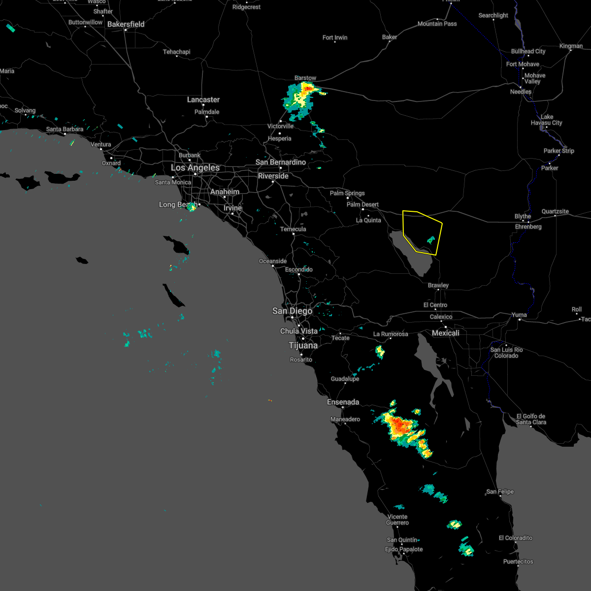
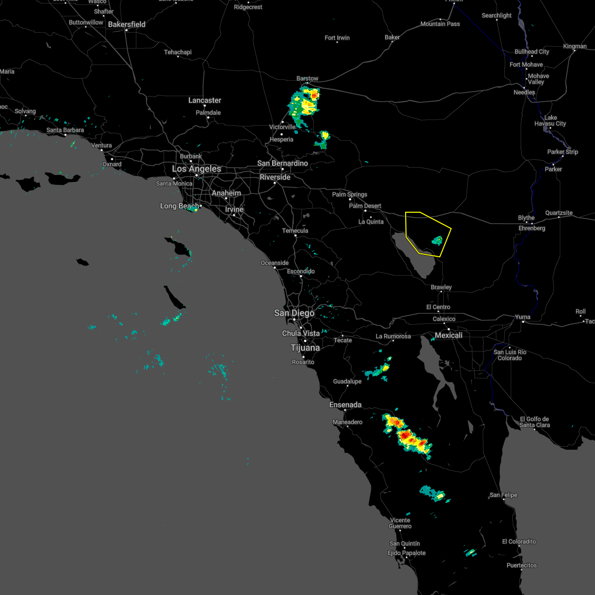
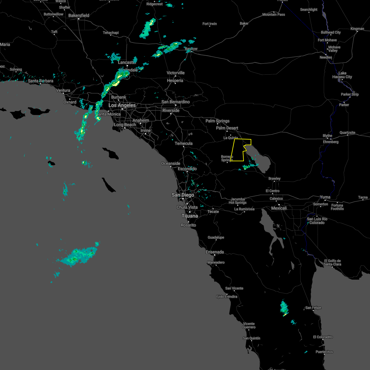
Hail Maps for North Shore, CA


Connect with Interactive Hail Maps