

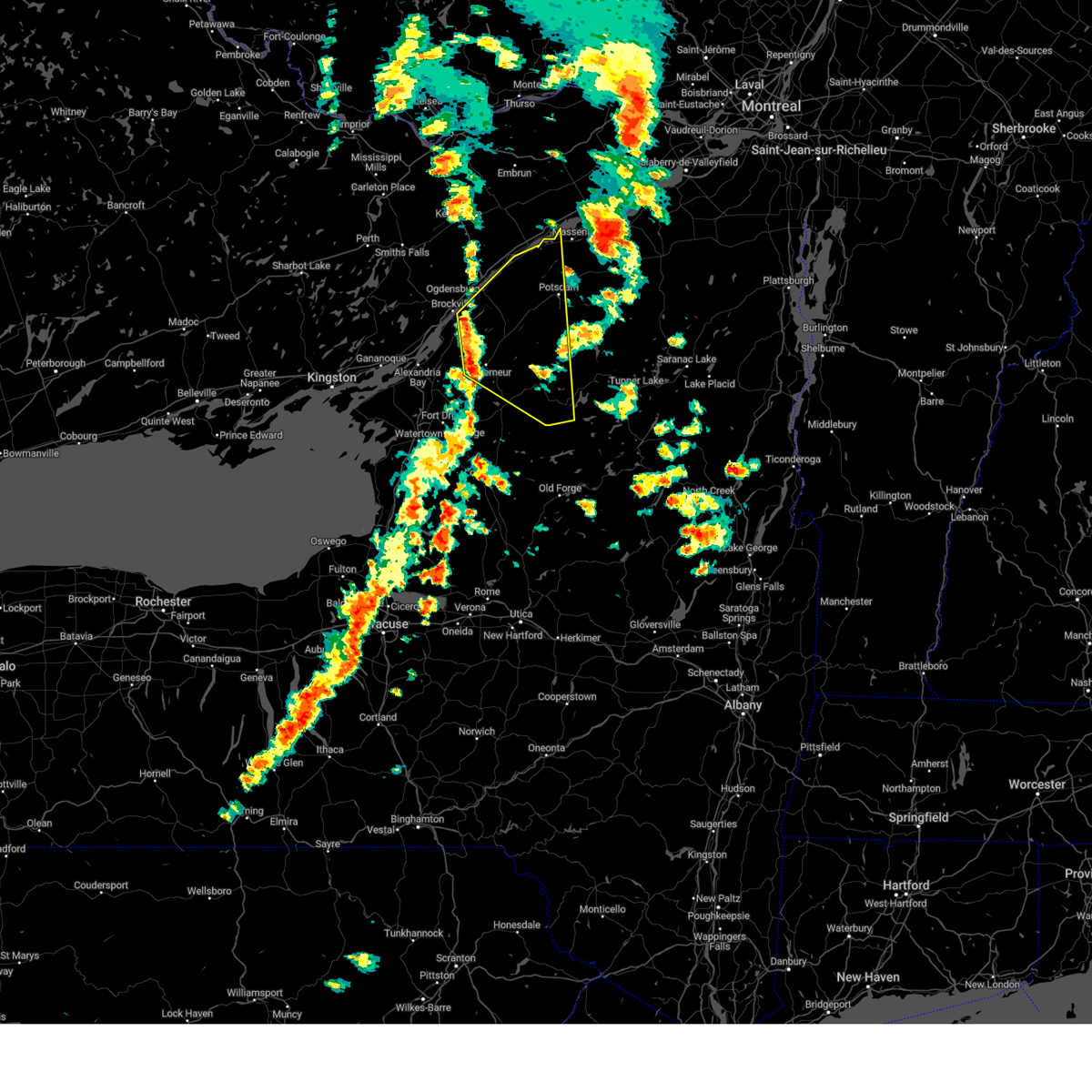
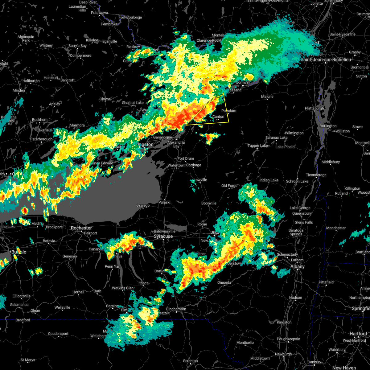
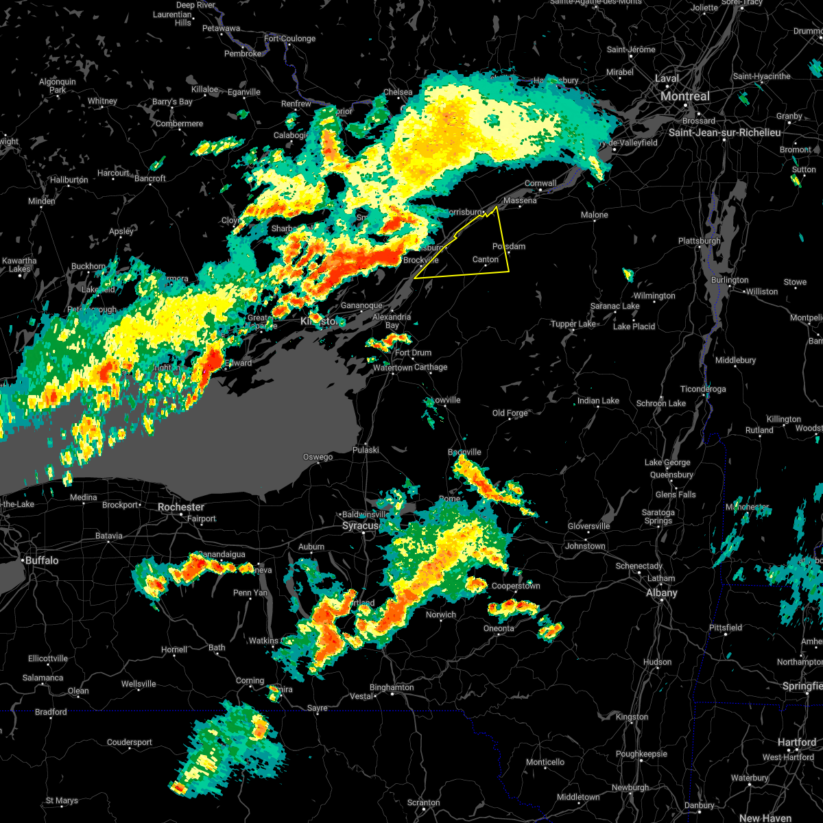
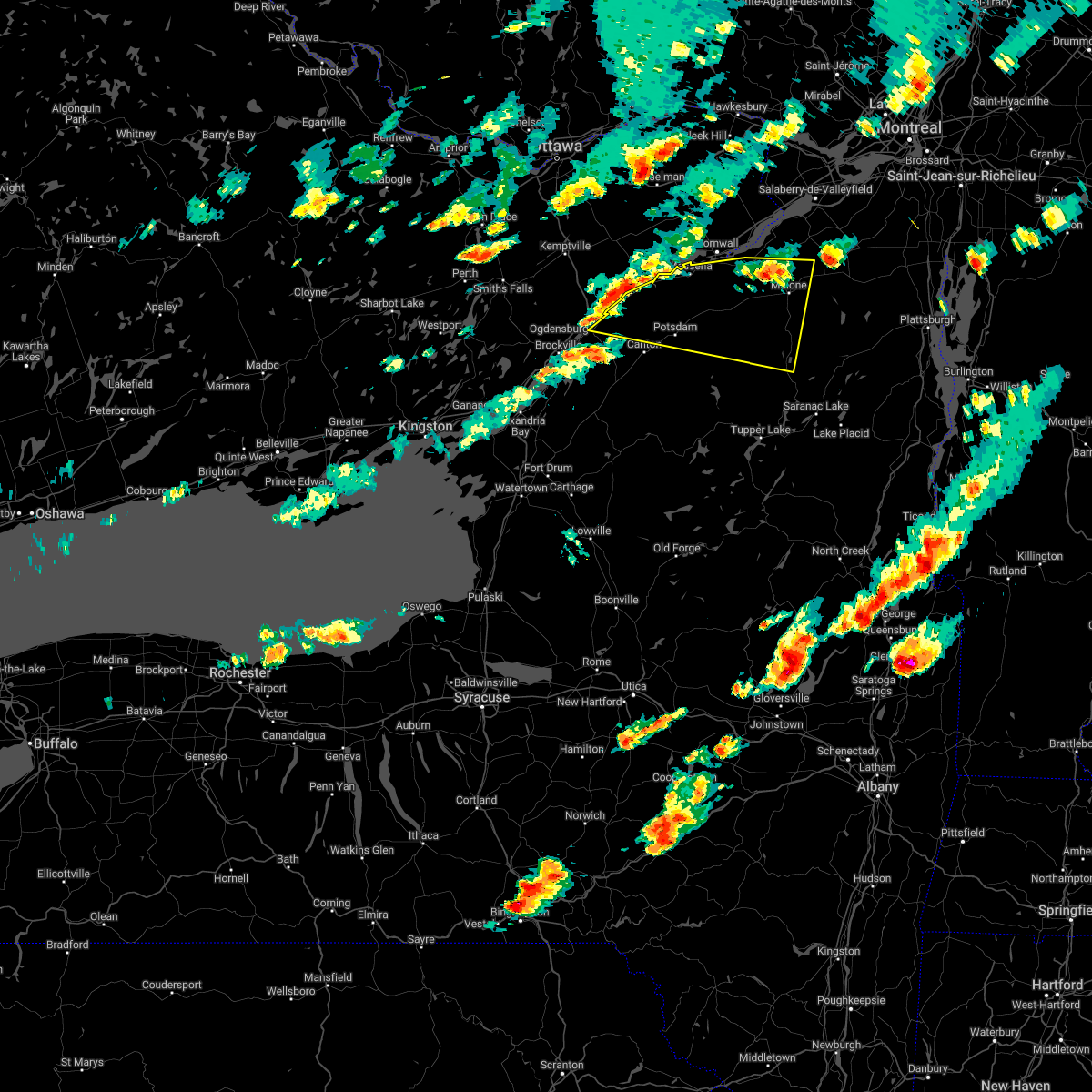
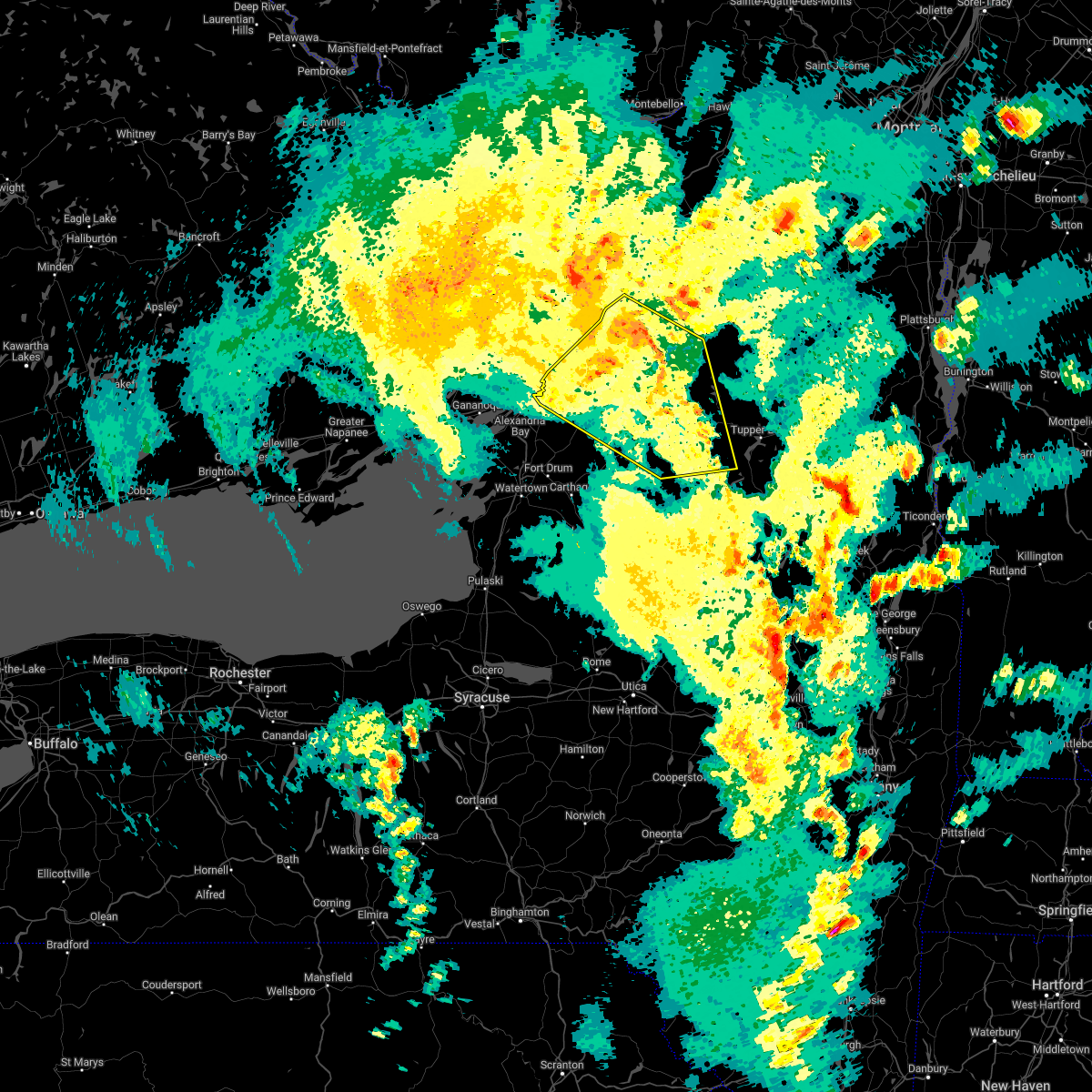
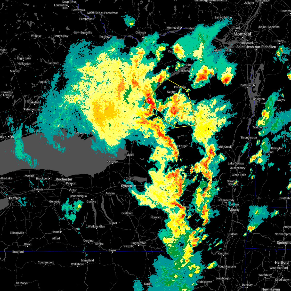
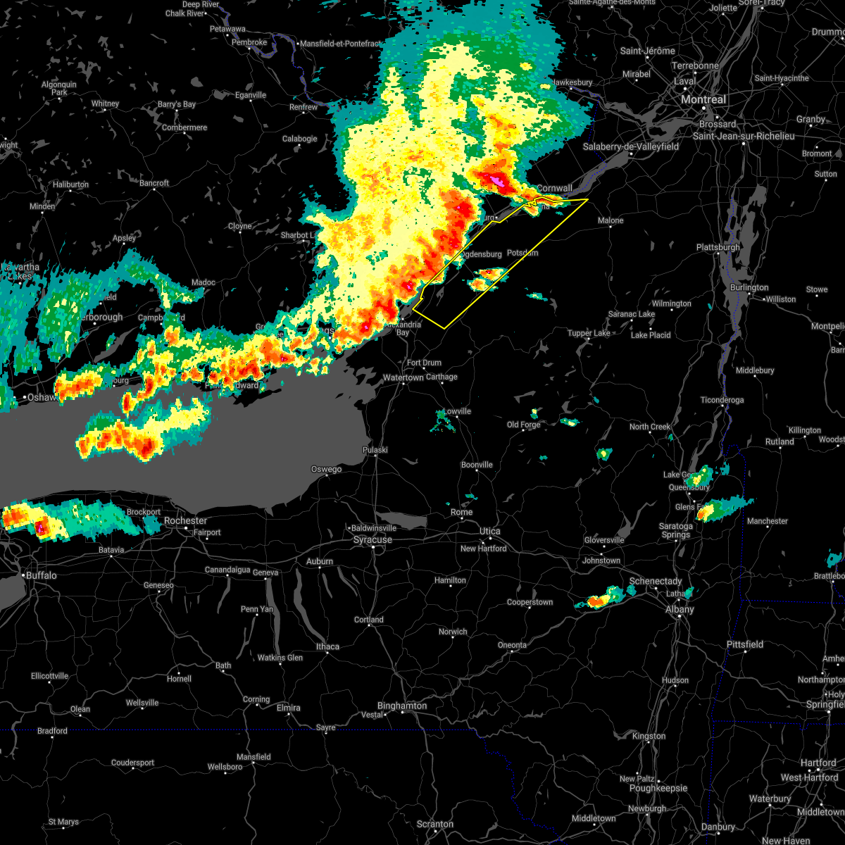
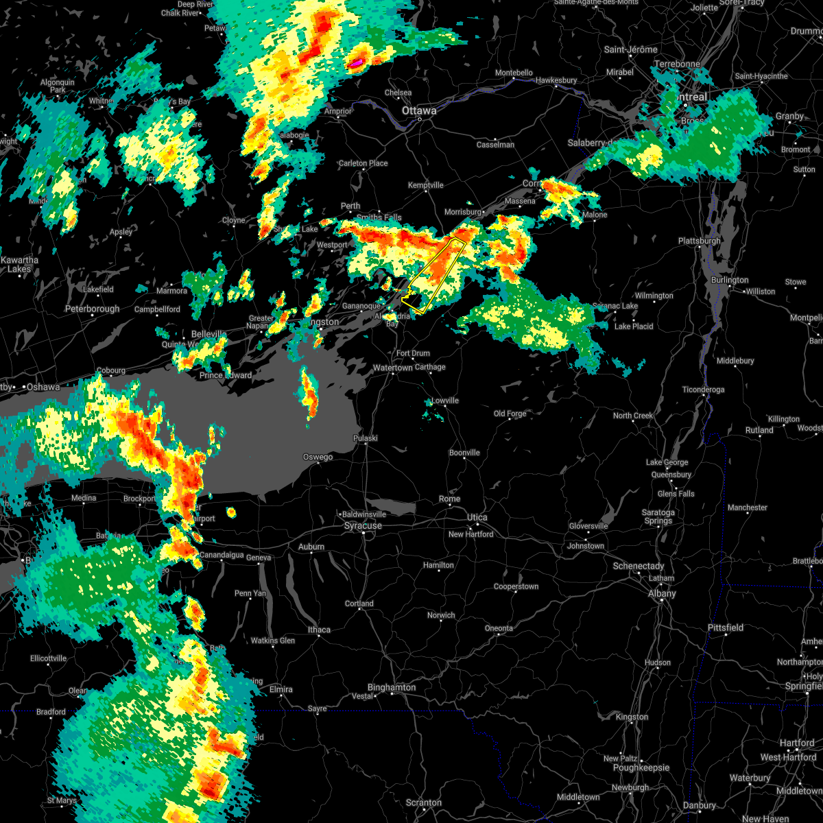
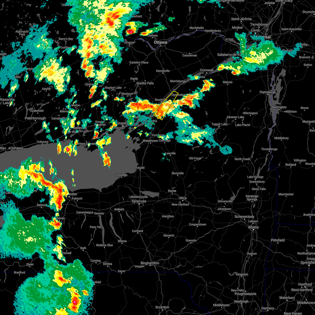
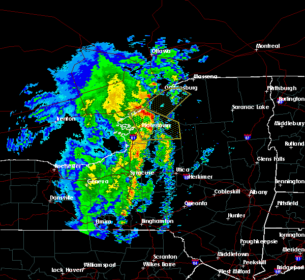
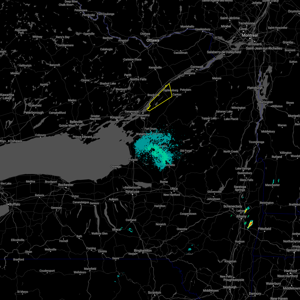
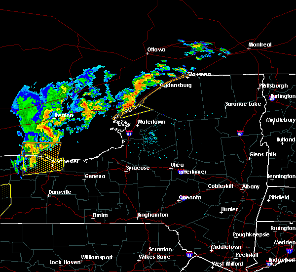
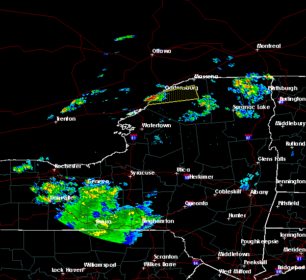
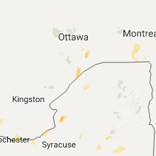
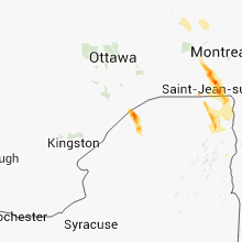
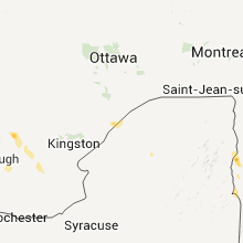
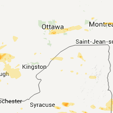
Hail Map for Ogdensburg, NY
The Ogdensburg, NY area has had 0 reports of on-the-ground hail by trained spotters, and has been under severe weather warnings 1 time during the past 12 months. Doppler radar has detected hail at or near Ogdensburg, NY on 11 occasions.
| Name: | Ogdensburg, NY |
| Where Located: | 2.2 miles NE of Ogdensburg, NY |
| Map: | Google Map for Ogdensburg, NY |
| Population: | 11128 |
| Housing Units: | 4356 |
| More Info: | Search Google for Ogdensburg, NY |
1
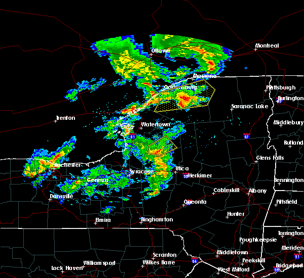
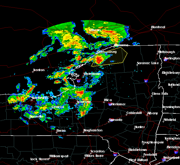
The Top Recent Hail Date for Ogdensburg, NY is Thursday, July 28, 2022 (3rd out of 11)

Hail and Wind Damage Spotted near Ogdensburg, NY
| Date / Time | Report Details |
|---|---|
| 7/13/2023 2:46 PM EDT |
 At 245 pm edt, severe thunderstorms were located along a line extending from near edwardsville to 7 miles southwest of west fowler, moving northeast at 40 mph (radar indicated). Hazards include 60 mph wind gusts and quarter size hail. Minor hail damage to vehicles is possible. Expect wind damage to trees and powerlines. At 245 pm edt, severe thunderstorms were located along a line extending from near edwardsville to 7 miles southwest of west fowler, moving northeast at 40 mph (radar indicated). Hazards include 60 mph wind gusts and quarter size hail. Minor hail damage to vehicles is possible. Expect wind damage to trees and powerlines.
|
| 8/31/2022 3:21 PM EDT |
 At 321 pm edt, a severe thunderstorm was located over edwardsville, moving east at 25 mph (radar indicated). Hazards include 60 mph wind gusts and quarter size hail. Minor hail damage to vehicles is possible. Expect wind damage to trees and powerlines. At 321 pm edt, a severe thunderstorm was located over edwardsville, moving east at 25 mph (radar indicated). Hazards include 60 mph wind gusts and quarter size hail. Minor hail damage to vehicles is possible. Expect wind damage to trees and powerlines.
|
| 7/28/2022 2:05 PM EDT | Power lines knocked down due to tree limb in st. lawrence county NY, 6.7 miles W of Ogdensburg, NY |
| 7/28/2022 1:38 PM EDT |
 At 137 pm edt, a cluster of severe thunderstorms was located 12 miles southwest of south hammond, moving northeast at 25 mph (radar indicated). Hazards include 60 mph wind gusts and quarter size hail. Minor hail damage to vehicles is possible. Expect wind damage to trees and powerlines. At 137 pm edt, a cluster of severe thunderstorms was located 12 miles southwest of south hammond, moving northeast at 25 mph (radar indicated). Hazards include 60 mph wind gusts and quarter size hail. Minor hail damage to vehicles is possible. Expect wind damage to trees and powerlines.
|
| 7/24/2022 11:09 PM EDT |
 At 1109 pm edt, a severe thunderstorm was located near heuvelton, moving east at 45 mph (radar indicated). Hazards include 70 mph wind gusts. Expect considerable tree damage. damage is likely to mobile homes, roofs, and outbuildings. locations impacted include, ogdensburg, canton, potsdam, lisbon, rensselaer falls, heuvelton, morley, waddington, madrid, morristown, chipman, de peyster, jacques cartier state park and west potsdam. thunderstorm damage threat, considerable hail threat, radar indicated max hail size, <. 75 in wind threat, radar indicated max wind gust, 70 mph. At 1109 pm edt, a severe thunderstorm was located near heuvelton, moving east at 45 mph (radar indicated). Hazards include 70 mph wind gusts. Expect considerable tree damage. damage is likely to mobile homes, roofs, and outbuildings. locations impacted include, ogdensburg, canton, potsdam, lisbon, rensselaer falls, heuvelton, morley, waddington, madrid, morristown, chipman, de peyster, jacques cartier state park and west potsdam. thunderstorm damage threat, considerable hail threat, radar indicated max hail size, <. 75 in wind threat, radar indicated max wind gust, 70 mph.
|
| 7/24/2022 10:27 PM EDT |
 At 1026 pm edt, a severe thunderstorm was located 9 miles northwest of jacques cartier state park, moving east at 40 mph (radar indicated). Hazards include 70 mph wind gusts. Expect considerable tree damage. Damage is likely to mobile homes, roofs, and outbuildings. At 1026 pm edt, a severe thunderstorm was located 9 miles northwest of jacques cartier state park, moving east at 40 mph (radar indicated). Hazards include 70 mph wind gusts. Expect considerable tree damage. Damage is likely to mobile homes, roofs, and outbuildings.
|
| 7/19/2022 5:29 PM EDT |
 At 529 pm edt, severe thunderstorms were located along a line extending from 9 miles northwest of lisbon to near ogdensburg to near morristown to near jacques cartier state park, moving east at 45 mph (radar indicated). Hazards include 60 mph wind gusts and quarter size hail. Minor hail damage to vehicles is possible. Expect wind damage to trees and powerlines. At 529 pm edt, severe thunderstorms were located along a line extending from 9 miles northwest of lisbon to near ogdensburg to near morristown to near jacques cartier state park, moving east at 45 mph (radar indicated). Hazards include 60 mph wind gusts and quarter size hail. Minor hail damage to vehicles is possible. Expect wind damage to trees and powerlines.
|
| 7/12/2022 2:21 PM EDT |
 At 221 pm edt, a severe thunderstorm was located over waddington, moving east at 45 mph (radar indicated). Hazards include 60 mph wind gusts and quarter size hail. Minor hail damage to vehicles is possible. Expect wind damage to trees and powerlines. At 221 pm edt, a severe thunderstorm was located over waddington, moving east at 45 mph (radar indicated). Hazards include 60 mph wind gusts and quarter size hail. Minor hail damage to vehicles is possible. Expect wind damage to trees and powerlines.
|
| 6/16/2022 5:30 PM EDT |
 At 528 pm edt, a severe thunderstorm was located near stark, moving east at 55 mph (broadcast media). Hazards include ping pong ball size hail and 60 mph wind gusts. People and animals outdoors will be injured. expect hail damage to roofs, siding, windows, and vehicles. expect wind damage to trees and powerlines. locations impacted include, potsdam, tupper lake, gouverneur, ogdensburg, canton, oswegatchie, lisbon, de kalb, bangor, fowler, parishville, colton, piercefield, morley, degrasse, carry falls reservoir, richville, hammond, cranberry lake and lawrenceville. hail threat, radar indicated max hail size, 1. 50 in wind threat, observed max wind gust, 60 mph. At 528 pm edt, a severe thunderstorm was located near stark, moving east at 55 mph (broadcast media). Hazards include ping pong ball size hail and 60 mph wind gusts. People and animals outdoors will be injured. expect hail damage to roofs, siding, windows, and vehicles. expect wind damage to trees and powerlines. locations impacted include, potsdam, tupper lake, gouverneur, ogdensburg, canton, oswegatchie, lisbon, de kalb, bangor, fowler, parishville, colton, piercefield, morley, degrasse, carry falls reservoir, richville, hammond, cranberry lake and lawrenceville. hail threat, radar indicated max hail size, 1. 50 in wind threat, observed max wind gust, 60 mph.
|
| 6/16/2022 5:12 PM EDT |
 At 511 pm edt, a severe thunderstorm was located over west pierrepont, moving east at 55 mph (broadcast media. trees and power poles down near hammond, new york). Hazards include ping pong ball size hail and 60 mph wind gusts. People and animals outdoors will be injured. expect hail damage to roofs, siding, windows, and vehicles. expect wind damage to trees and powerlines. locations impacted include, potsdam, tupper lake, gouverneur, ogdensburg, canton, oswegatchie, lisbon, de kalb, bangor, fowler, parishville, colton, piercefield, morley, degrasse, carry falls reservoir, richville, hammond, cranberry lake and lawrenceville. hail threat, radar indicated max hail size, 1. 50 in wind threat, observed max wind gust, 60 mph. At 511 pm edt, a severe thunderstorm was located over west pierrepont, moving east at 55 mph (broadcast media. trees and power poles down near hammond, new york). Hazards include ping pong ball size hail and 60 mph wind gusts. People and animals outdoors will be injured. expect hail damage to roofs, siding, windows, and vehicles. expect wind damage to trees and powerlines. locations impacted include, potsdam, tupper lake, gouverneur, ogdensburg, canton, oswegatchie, lisbon, de kalb, bangor, fowler, parishville, colton, piercefield, morley, degrasse, carry falls reservoir, richville, hammond, cranberry lake and lawrenceville. hail threat, radar indicated max hail size, 1. 50 in wind threat, observed max wind gust, 60 mph.
|
| 6/16/2022 4:56 PM EDT |
 At 455 pm edt, a severe thunderstorm was located over richville, moving east at 65 mph (radar indicated). Hazards include ping pong ball size hail and 60 mph wind gusts. People and animals outdoors will be injured. expect hail damage to roofs, siding, windows, and vehicles. expect wind damage to trees and powerlines. locations impacted include, potsdam, tupper lake, gouverneur, ogdensburg, canton, oswegatchie, lisbon, de kalb, bangor, fowler, parishville, colton, piercefield, morley, degrasse, carry falls reservoir, richville, hammond, cranberry lake and lawrenceville. hail threat, radar indicated max hail size, 1. 50 in wind threat, observed max wind gust, 60 mph. At 455 pm edt, a severe thunderstorm was located over richville, moving east at 65 mph (radar indicated). Hazards include ping pong ball size hail and 60 mph wind gusts. People and animals outdoors will be injured. expect hail damage to roofs, siding, windows, and vehicles. expect wind damage to trees and powerlines. locations impacted include, potsdam, tupper lake, gouverneur, ogdensburg, canton, oswegatchie, lisbon, de kalb, bangor, fowler, parishville, colton, piercefield, morley, degrasse, carry falls reservoir, richville, hammond, cranberry lake and lawrenceville. hail threat, radar indicated max hail size, 1. 50 in wind threat, observed max wind gust, 60 mph.
|
| 6/16/2022 4:43 PM EDT |
 At 443 pm edt, a severe thunderstorm was located near hammond, moving east at 50 mph (radar indicated). Hazards include 60 mph wind gusts and quarter size hail. Minor hail damage to vehicles is possible. Expect wind damage to trees and powerlines. At 443 pm edt, a severe thunderstorm was located near hammond, moving east at 50 mph (radar indicated). Hazards include 60 mph wind gusts and quarter size hail. Minor hail damage to vehicles is possible. Expect wind damage to trees and powerlines.
|
| 5/16/2022 4:08 PM EDT |
 The severe thunderstorm warning for st. lawrence county will expire at 415 pm edt, the storms which prompted the warning have weakened below severe limits, and no longer pose an immediate threat to life or property. therefore, the warning will be allowed to expire. however heavy rain is still expected with these thunderstorms. a severe thunderstorm watch remains in effect until 800 pm edt for northern new york. The severe thunderstorm warning for st. lawrence county will expire at 415 pm edt, the storms which prompted the warning have weakened below severe limits, and no longer pose an immediate threat to life or property. therefore, the warning will be allowed to expire. however heavy rain is still expected with these thunderstorms. a severe thunderstorm watch remains in effect until 800 pm edt for northern new york.
|
| 5/16/2022 3:54 PM EDT | Numerous trees and powerlines down in ogdensburg. several structures have also sustained minor damag in st. lawrence county NY, 0.8 miles ENE of Ogdensburg, NY |
| 5/16/2022 3:19 PM EDT |
 At 319 pm edt, severe thunderstorms were located along a line extending from 10 miles southwest of cedar island state park to 10 miles southwest of pitcairn to 30 miles south of wanakena, moving northeast at 40 mph (radar indicated). Hazards include 60 mph wind gusts and penny size hail. expect damage to trees and powerlines At 319 pm edt, severe thunderstorms were located along a line extending from 10 miles southwest of cedar island state park to 10 miles southwest of pitcairn to 30 miles south of wanakena, moving northeast at 40 mph (radar indicated). Hazards include 60 mph wind gusts and penny size hail. expect damage to trees and powerlines
|
| 7/20/2021 4:32 PM EDT | Numerous trees dow in st. lawrence county NY, 6.7 miles W of Ogdensburg, NY |
| 7/20/2021 4:31 PM EDT | Awos time estimate in st. lawrence county NY, 2.6 miles NNE of Ogdensburg, NY |
| 7/20/2021 4:31 PM EDT | Storm damage reported in slz022 county NY, 2.5 miles ENE of Ogdensburg, NY |
| 7/20/2021 4:25 PM EDT | Numerous trees and power lines down in the city of ogdensbur in st. lawrence county NY, 0.8 miles ENE of Ogdensburg, NY |
| 7/20/2021 4:25 PM EDT |
 At 422 pm edt, a line of severe thunderstorms were located along the saint lawrence river in new york extending from 17 miles north of st. regis to 22 miles southwest of cedar island state park, moving east at 45 mph (radar indicated). Hazards include 60 mph wind gusts and quarter size hail. Minor hail damage to vehicles is possible. expect wind damage to trees and powerlines. Locations impacted include, massena, canton, potsdam, ogdensburg, norfolk, lisbon, louisville, de kalb, fort covington, bombay, rensselaer falls, morley, norwood, edwardsville, massena international airport - richards field, helena, chipman, brasher falls, heuvelton and waddington. At 422 pm edt, a line of severe thunderstorms were located along the saint lawrence river in new york extending from 17 miles north of st. regis to 22 miles southwest of cedar island state park, moving east at 45 mph (radar indicated). Hazards include 60 mph wind gusts and quarter size hail. Minor hail damage to vehicles is possible. expect wind damage to trees and powerlines. Locations impacted include, massena, canton, potsdam, ogdensburg, norfolk, lisbon, louisville, de kalb, fort covington, bombay, rensselaer falls, morley, norwood, edwardsville, massena international airport - richards field, helena, chipman, brasher falls, heuvelton and waddington.
|
| 7/20/2021 4:23 PM EDT | Storm damage reported in st. lawrence county NY, 2.6 miles NNE of Ogdensburg, NY |
| 7/20/2021 3:53 PM EDT |
 At 351 pm edt, severe thunderstorms were located west of the saint lawrence river along a line extending from 23 miles northwest of st. lawrence state park to 47 miles west of cedar island state park, moving east at 45 mph (radar indicated). Hazards include 60 mph wind gusts and quarter size hail. Expect wind damage to trees and powerlines. Minor hail damage to vehicles is possible. At 351 pm edt, severe thunderstorms were located west of the saint lawrence river along a line extending from 23 miles northwest of st. lawrence state park to 47 miles west of cedar island state park, moving east at 45 mph (radar indicated). Hazards include 60 mph wind gusts and quarter size hail. Expect wind damage to trees and powerlines. Minor hail damage to vehicles is possible.
|
| 7/13/2021 7:52 PM EDT |
 At 751 pm edt, a severe thunderstorm was located over jacques cartier state park, moving northeast at 25 mph (radar indicated). Hazards include 60 mph wind gusts. Expect damage to trees and powerlines. Locations impacted include, ogdensburg, edwardsville, hammond, morristown, rossie, jacques cartier state park, chippewa bay, south hammond, nelson corner and north hammond. At 751 pm edt, a severe thunderstorm was located over jacques cartier state park, moving northeast at 25 mph (radar indicated). Hazards include 60 mph wind gusts. Expect damage to trees and powerlines. Locations impacted include, ogdensburg, edwardsville, hammond, morristown, rossie, jacques cartier state park, chippewa bay, south hammond, nelson corner and north hammond.
|
| 7/13/2021 7:27 PM EDT |
 At 727 pm edt, a severe thunderstorm was located over chippewa bay, moving northeast at 25 mph (radar indicated). Hazards include 60 mph wind gusts. expect damage to trees and powerlines At 727 pm edt, a severe thunderstorm was located over chippewa bay, moving northeast at 25 mph (radar indicated). Hazards include 60 mph wind gusts. expect damage to trees and powerlines
|
| 11/15/2020 6:30 PM EST | Call received from county fire control of numerous communities surrounding ogdensburg southeast to edwards with branches... trees and utility lines downed by thundersto in st. lawrence county NY, 0.8 miles ENE of Ogdensburg, NY |
| 6/28/2020 8:47 PM EDT |
 At 847 pm edt, a severe thunderstorm was located over morristown, moving south at 30 mph (radar indicated). Hazards include 60 mph wind gusts and quarter size hail. Minor hail damage to vehicles is possible. Expect wind damage to trees and powerlines. At 847 pm edt, a severe thunderstorm was located over morristown, moving south at 30 mph (radar indicated). Hazards include 60 mph wind gusts and quarter size hail. Minor hail damage to vehicles is possible. Expect wind damage to trees and powerlines.
|
| 6/29/2019 8:01 PM EDT |
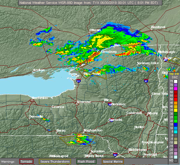 At 801 pm edt, severe thunderstorms were located along a line extending from near ogdensburg to 10 miles west of cedar island state park, moving southeast at 35 mph (radar indicated). Hazards include 60 mph wind gusts and quarter size hail. Minor hail damage to vehicles is possible. Expect wind damage to trees and powerlines. At 801 pm edt, severe thunderstorms were located along a line extending from near ogdensburg to 10 miles west of cedar island state park, moving southeast at 35 mph (radar indicated). Hazards include 60 mph wind gusts and quarter size hail. Minor hail damage to vehicles is possible. Expect wind damage to trees and powerlines.
|
| 5/4/2018 4:08 PM EDT |
 At 407 pm edt, a severe thunderstorm was located near north gouverneur, moving east at 45 mph (radar indicated). Hazards include 60 mph wind gusts and quarter size hail. Minor hail damage to vehicles is possible. Expect wind damage to trees and powerlines. At 407 pm edt, a severe thunderstorm was located near north gouverneur, moving east at 45 mph (radar indicated). Hazards include 60 mph wind gusts and quarter size hail. Minor hail damage to vehicles is possible. Expect wind damage to trees and powerlines.
|
| 8/22/2017 1:45 PM EDT |
 At 144 pm edt, severe thunderstorms were located along a line extending from jacques cartier state park to near hammond to nelson corner, moving east at 40 mph (radar indicated). Hazards include 60 mph wind gusts. expect damage to trees and powerlines At 144 pm edt, severe thunderstorms were located along a line extending from jacques cartier state park to near hammond to nelson corner, moving east at 40 mph (radar indicated). Hazards include 60 mph wind gusts. expect damage to trees and powerlines
|
| 7/8/2017 5:05 AM EDT |
 At 505 am edt, severe thunderstorms were located along a line extending from near norwood to hannawa falls to west pierrepont, moving east at 40 mph (radar indicated). Hazards include 60 mph wind gusts and quarter size hail. Minor hail damage to vehicles is possible. expect wind damage to trees and powerlines. Locations impacted include, potsdam, gouverneur, canton, norfolk, lisbon, moira, de kalb, parishville, colton, morley, carry falls reservoir, richville, madrid, lawrenceville, rensselaer falls, norwood, hermon, brasher falls, heuvelton and lake ozonia. At 505 am edt, severe thunderstorms were located along a line extending from near norwood to hannawa falls to west pierrepont, moving east at 40 mph (radar indicated). Hazards include 60 mph wind gusts and quarter size hail. Minor hail damage to vehicles is possible. expect wind damage to trees and powerlines. Locations impacted include, potsdam, gouverneur, canton, norfolk, lisbon, moira, de kalb, parishville, colton, morley, carry falls reservoir, richville, madrid, lawrenceville, rensselaer falls, norwood, hermon, brasher falls, heuvelton and lake ozonia.
|
| 7/8/2017 4:37 AM EDT |
 At 437 am edt, severe thunderstorms were located along a line extending from near rensselaer falls to de kalb to richville, moving east at 40 mph (radar indicated). Hazards include 60 mph wind gusts and quarter size hail. Minor hail damage to vehicles is possible. Expect wind damage to trees and powerlines. At 437 am edt, severe thunderstorms were located along a line extending from near rensselaer falls to de kalb to richville, moving east at 40 mph (radar indicated). Hazards include 60 mph wind gusts and quarter size hail. Minor hail damage to vehicles is possible. Expect wind damage to trees and powerlines.
|
| 2/25/2017 12:58 PM EST |
 At 1258 pm est, severe thunderstorms were located along a line extending from near ogdensburg to rensselaer falls to near edwards, moving northeast at 60 mph (radar indicated). Hazards include 60 mph wind gusts. expect damage to roofs, siding, and trees At 1258 pm est, severe thunderstorms were located along a line extending from near ogdensburg to rensselaer falls to near edwards, moving northeast at 60 mph (radar indicated). Hazards include 60 mph wind gusts. expect damage to roofs, siding, and trees
|
| 2/25/2017 12:31 PM EST |
 At 1231 pm est, a severe thunderstorm was located over muskellunge lake, moving northeast at 90 mph (radar indicated). Hazards include 60 mph wind gusts. expect damage to roofs, siding, and trees At 1231 pm est, a severe thunderstorm was located over muskellunge lake, moving northeast at 90 mph (radar indicated). Hazards include 60 mph wind gusts. expect damage to roofs, siding, and trees
|
| 9/10/2016 9:11 PM EDT |
 The severe thunderstorm warning for northwestern st. lawrence county will expire at 915 pm edt, the storm which prompted the warning is moving out of the area. therefore the warning will be allowed to expire at 915 pm. The severe thunderstorm warning for northwestern st. lawrence county will expire at 915 pm edt, the storm which prompted the warning is moving out of the area. therefore the warning will be allowed to expire at 915 pm.
|
| 9/10/2016 8:48 PM EDT |
 At 846 pm edt, a severe thunderstorm was located near de peyster, moving northeast at 50 mph (radar indicated). Hazards include 60 mph wind gusts. Expect damage to roofs. siding. and trees. Locations impacted include, ogdensburg, heuvelton, edwardsville, lisbon, de peyster, rensselaer falls, hammond, south hammond, north hammond, chippewa bay, jacques cartier state park and schermerhorn landing. At 846 pm edt, a severe thunderstorm was located near de peyster, moving northeast at 50 mph (radar indicated). Hazards include 60 mph wind gusts. Expect damage to roofs. siding. and trees. Locations impacted include, ogdensburg, heuvelton, edwardsville, lisbon, de peyster, rensselaer falls, hammond, south hammond, north hammond, chippewa bay, jacques cartier state park and schermerhorn landing.
|
| 9/10/2016 8:43 PM EDT | Trees and wires down in brier hill ny in st. lawrence county NY, 15.9 miles NE of Ogdensburg, NY |
| 9/10/2016 8:23 PM EDT |
 At 822 pm edt, a severe thunderstorm was located near kring point state park, moving northeast at 50 mph (radar indicated). Hazards include 60 mph wind gusts. Expect damage to roofs. siding. And trees. At 822 pm edt, a severe thunderstorm was located near kring point state park, moving northeast at 50 mph (radar indicated). Hazards include 60 mph wind gusts. Expect damage to roofs. siding. And trees.
|
| 7/18/2016 11:16 AM EDT |
 At 1115 am edt, a severe thunderstorm was located near morley in new york, moving east at 40 mph (radar indicated). Hazards include 60 mph wind gusts and quarter size hail. Hail damage to vehicles is expected. expect wind damage to roofs, siding, and trees. locations impacted include, ogdensburg, canton, norfolk, madrid, norwood, heuvelton, morley, lisbon, parishville, de peyster, rensselaer falls, west potsdam, west parishville, west stockholm, hannawa falls, north stockholm and converse. At 1115 am edt, a severe thunderstorm was located near morley in new york, moving east at 40 mph (radar indicated). Hazards include 60 mph wind gusts and quarter size hail. Hail damage to vehicles is expected. expect wind damage to roofs, siding, and trees. locations impacted include, ogdensburg, canton, norfolk, madrid, norwood, heuvelton, morley, lisbon, parishville, de peyster, rensselaer falls, west potsdam, west parishville, west stockholm, hannawa falls, north stockholm and converse.
|
| 7/18/2016 10:41 AM EDT |
 At 1040 am edt, a severe thunderstorm was located over jacques cartier state park in ontario, moving east at 40 mph (radar indicated). Hazards include 60 mph wind gusts and quarter size hail. Hail damage to vehicles is expected. Expect wind damage to roofs, siding, and trees. At 1040 am edt, a severe thunderstorm was located over jacques cartier state park in ontario, moving east at 40 mph (radar indicated). Hazards include 60 mph wind gusts and quarter size hail. Hail damage to vehicles is expected. Expect wind damage to roofs, siding, and trees.
|
| 7/19/2013 5:44 PM EDT | Numerous tree limbs down and telephone pole snapped in half in st. lawrence county NY, 2.4 miles NE of Ogdensburg, NY |
| 7/18/2013 3:35 PM EDT | Tree down on wires in st. lawrence county NY, 6.7 miles W of Ogdensburg, NY |
| 5/22/2013 11:42 PM EDT | Trees and powerlines down in st. lawrence county NY, 6.7 miles W of Ogdensburg, NY |
| 9/8/2012 2:00 PM EDT | Large tree down across road and powerlines down as well in st. lawrence county NY, 2.4 miles NE of Ogdensburg, NY |
| 7/4/2012 4:18 PM EDT | Multiple trees and power lines down across roads in lisbon in st. lawrence county NY, 6.7 miles W of Ogdensburg, NY |
| 1/1/0001 12:00 AM | Trees and fence blown down in yard... storage shed ruined in st. lawrence county NY, 2.4 miles NE of Ogdensburg, NY |
| 1/1/0001 12:00 AM | 100-ft tall pine down on a truck in st. lawrence county NY, 2.4 miles NE of Ogdensburg, NY |
| 1/1/0001 12:00 AM | Trees and power lines down in st. lawrence county NY, 6.7 miles W of Ogdensburg, NY |
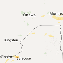
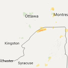
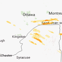
Hail Maps for Ogdensburg, NY


Connect with Interactive Hail Maps