

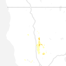
Hail Map for Orland, CA
The Orland, CA area has had 0 reports of on-the-ground hail by trained spotters, and has been under severe weather warnings 1 time during the past 12 months. Doppler radar has detected hail at or near Orland, CA on 2 occasions.
| Name: | Orland, CA |
| Where Located: | 59 miles S of Redding, CA |
| Map: | Google Map for Orland, CA |
| Population: | 7291 |
| Housing Units: | 2659 |
| More Info: | Search Google for Orland, CA |
0
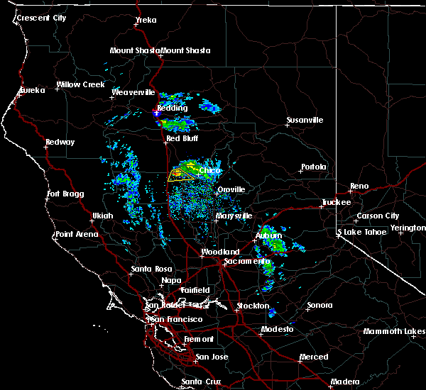
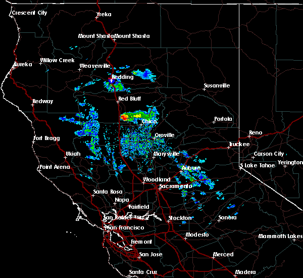
The Top Recent Hail Date for Orland, CA is Monday, March 6, 2023 (2nd out of 2)

Hail and Wind Damage Spotted near Orland, CA
| Date / Time | Report Details |
|---|---|
| 5/6/2023 3:01 PM PDT |
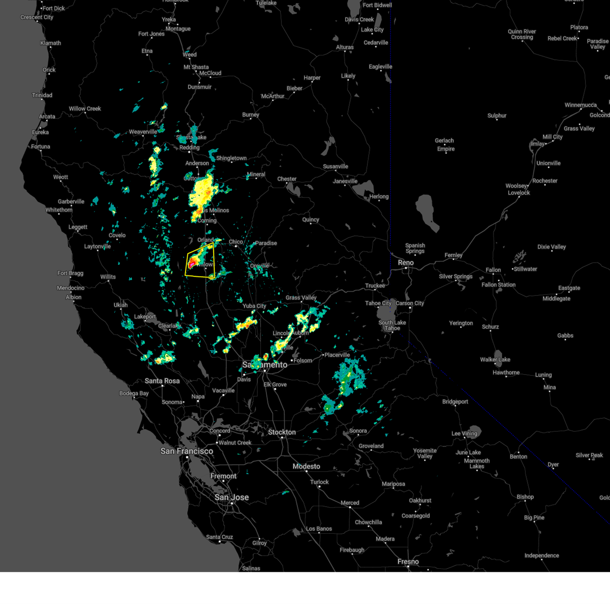 At 258 pm pdt, a severe thunderstorm was located near fruto, or 8 miles northwest of willows, moving east at 10 mph. the storm will move to near interstate 5 over the next hour (radar indicated). Hazards include quarter size hail. funnel clouds. damage to vehicles is expected At 258 pm pdt, a severe thunderstorm was located near fruto, or 8 miles northwest of willows, moving east at 10 mph. the storm will move to near interstate 5 over the next hour (radar indicated). Hazards include quarter size hail. funnel clouds. damage to vehicles is expected
|
| 8/10/2019 12:48 PM PDT |
 At 1247 pm pdt, a severe thunderstorm was located 8 miles northwest of orland, moving east at 25 mph (radar indicated). Hazards include 50 mph wind gusts and quarter size hail. hail damage to vehicles and possible wind damage to trees At 1247 pm pdt, a severe thunderstorm was located 8 miles northwest of orland, moving east at 25 mph (radar indicated). Hazards include 50 mph wind gusts and quarter size hail. hail damage to vehicles and possible wind damage to trees
|
| 1/23/2016 5:20 PM PST |
 At 517 pm pst, a severe thunderstorm producing quarter size hail was located near orland, moving south at 12 mph. locations impacted include, orland and hamilton city and adjacent portios of i5. At 517 pm pst, a severe thunderstorm producing quarter size hail was located near orland, moving south at 12 mph. locations impacted include, orland and hamilton city and adjacent portios of i5.
|
| 1/23/2016 4:47 PM PST |
 At 444 pm pst, doppler radar continues to indicate a severe thunderstorm capable of producing large amounts of hail up to quarter size. this storm was located near corning, and moving south at 12 mph. At 444 pm pst, doppler radar continues to indicate a severe thunderstorm capable of producing large amounts of hail up to quarter size. this storm was located near corning, and moving south at 12 mph.
|
Hail Maps for Orland, CA

Connect with Interactive Hail Maps