

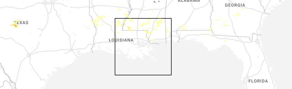
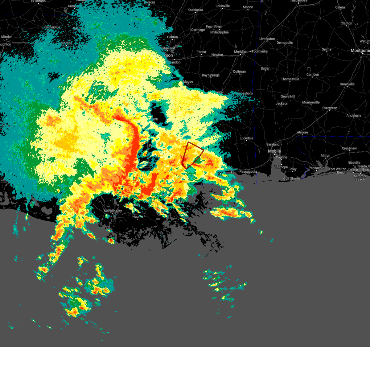
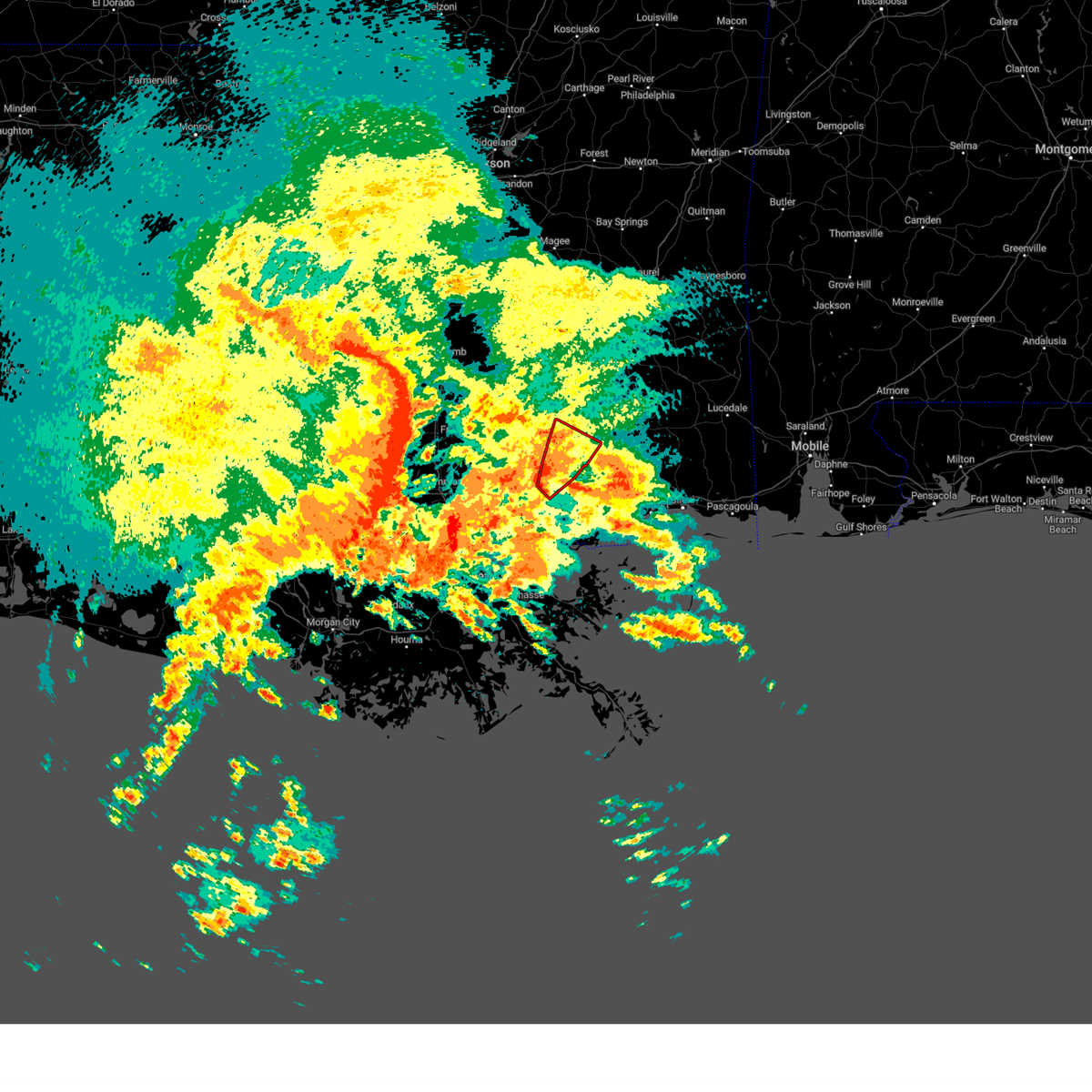
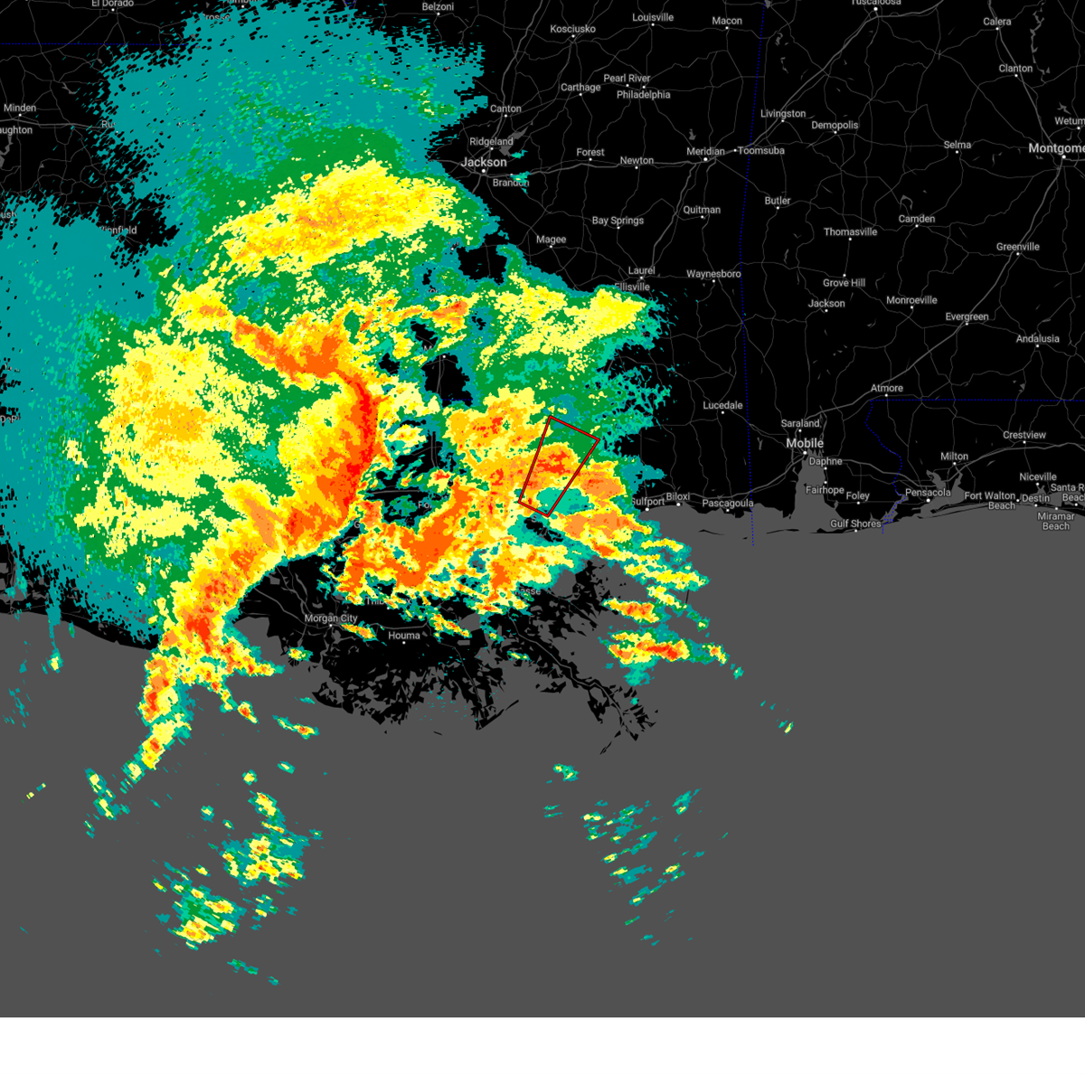
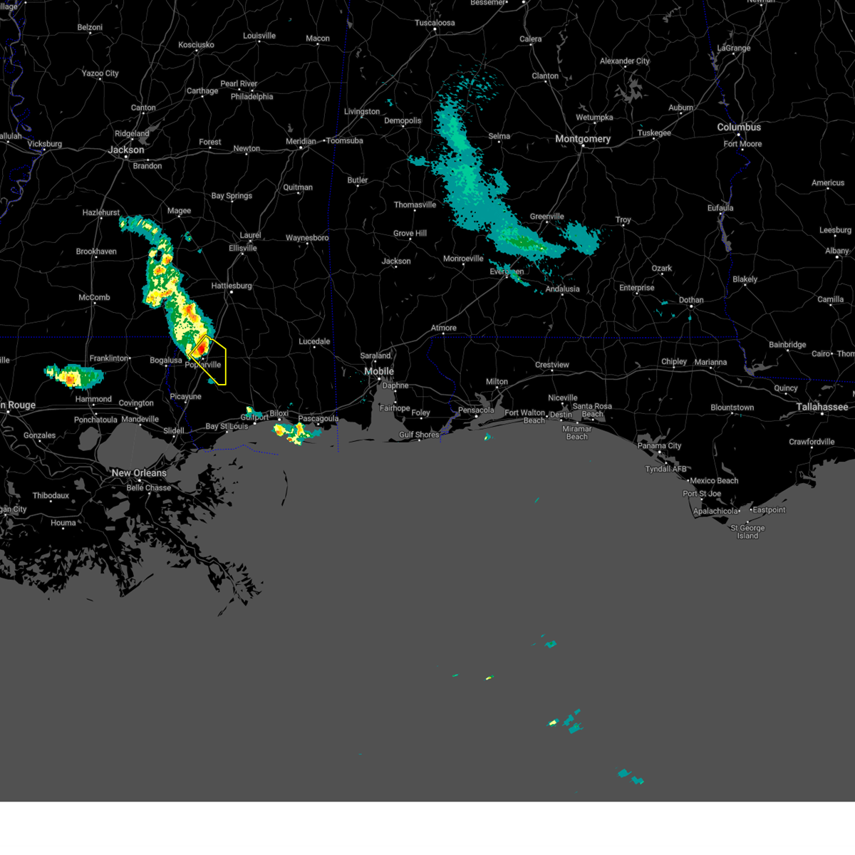
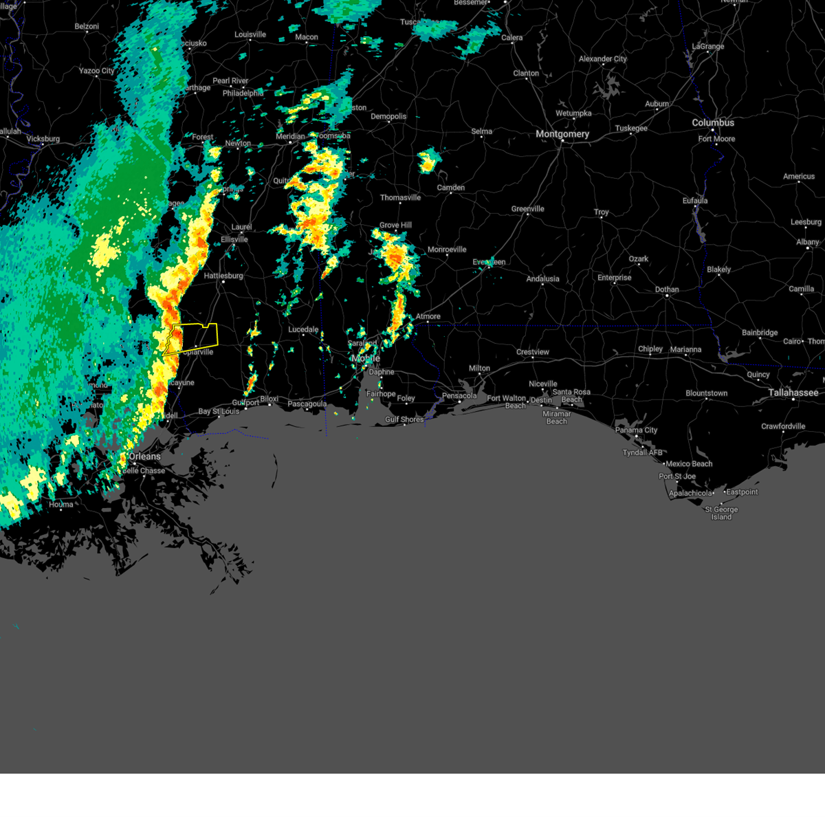
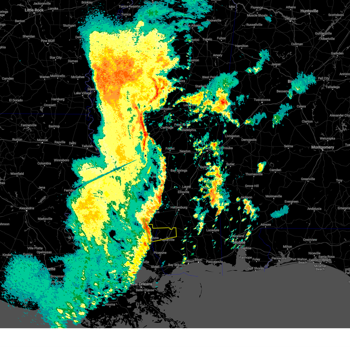
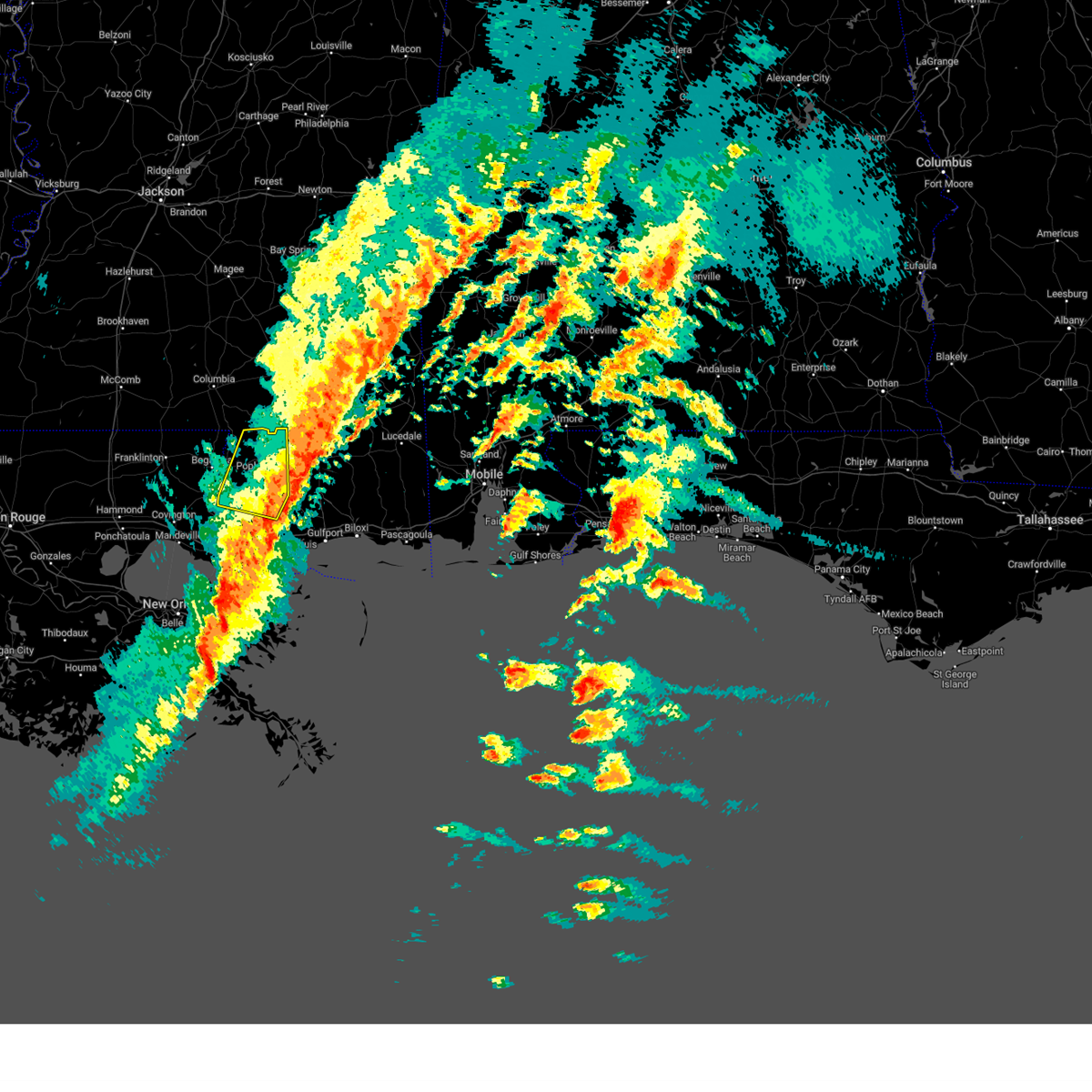
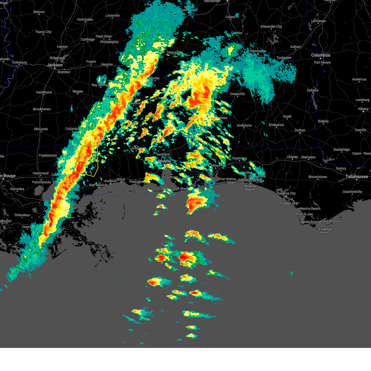
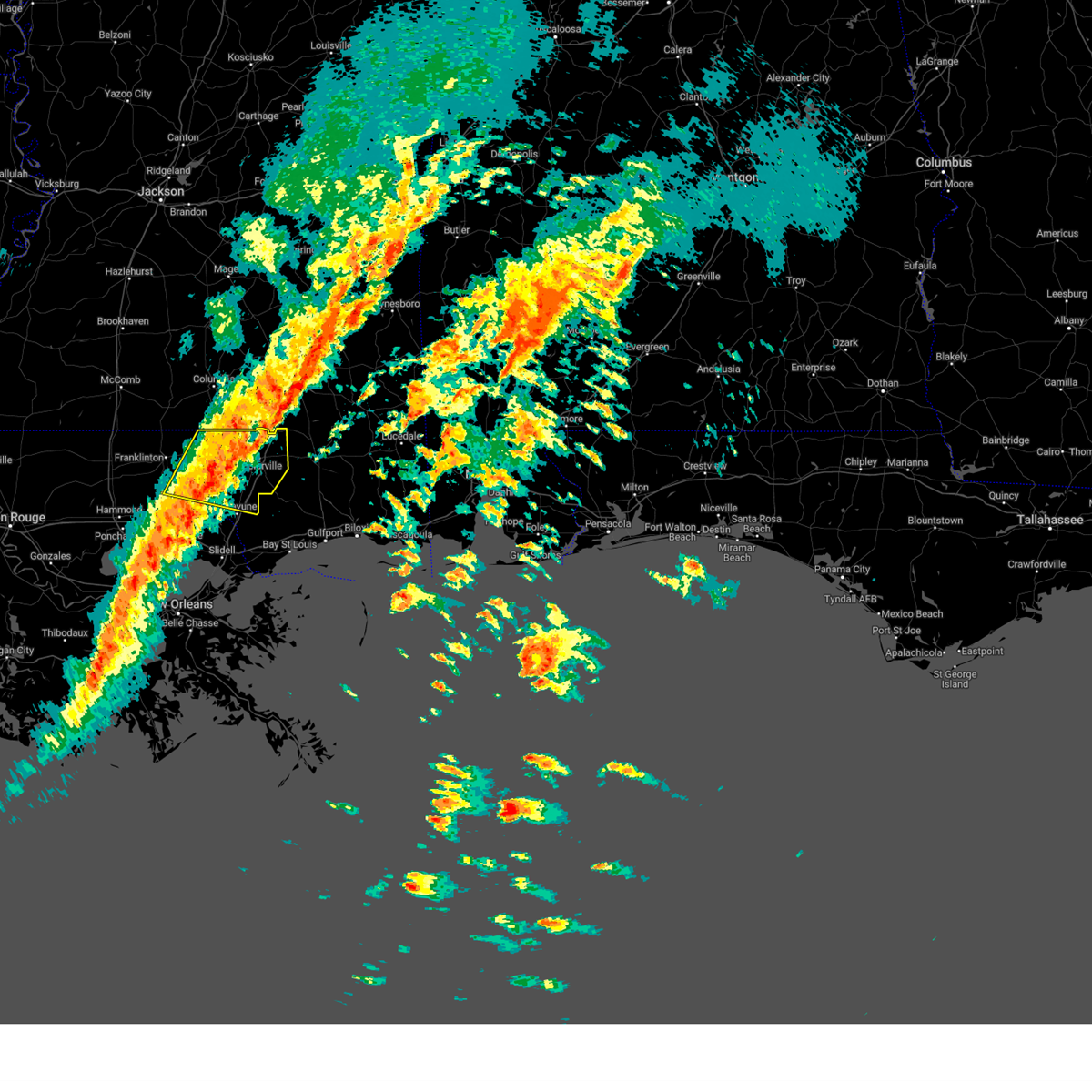
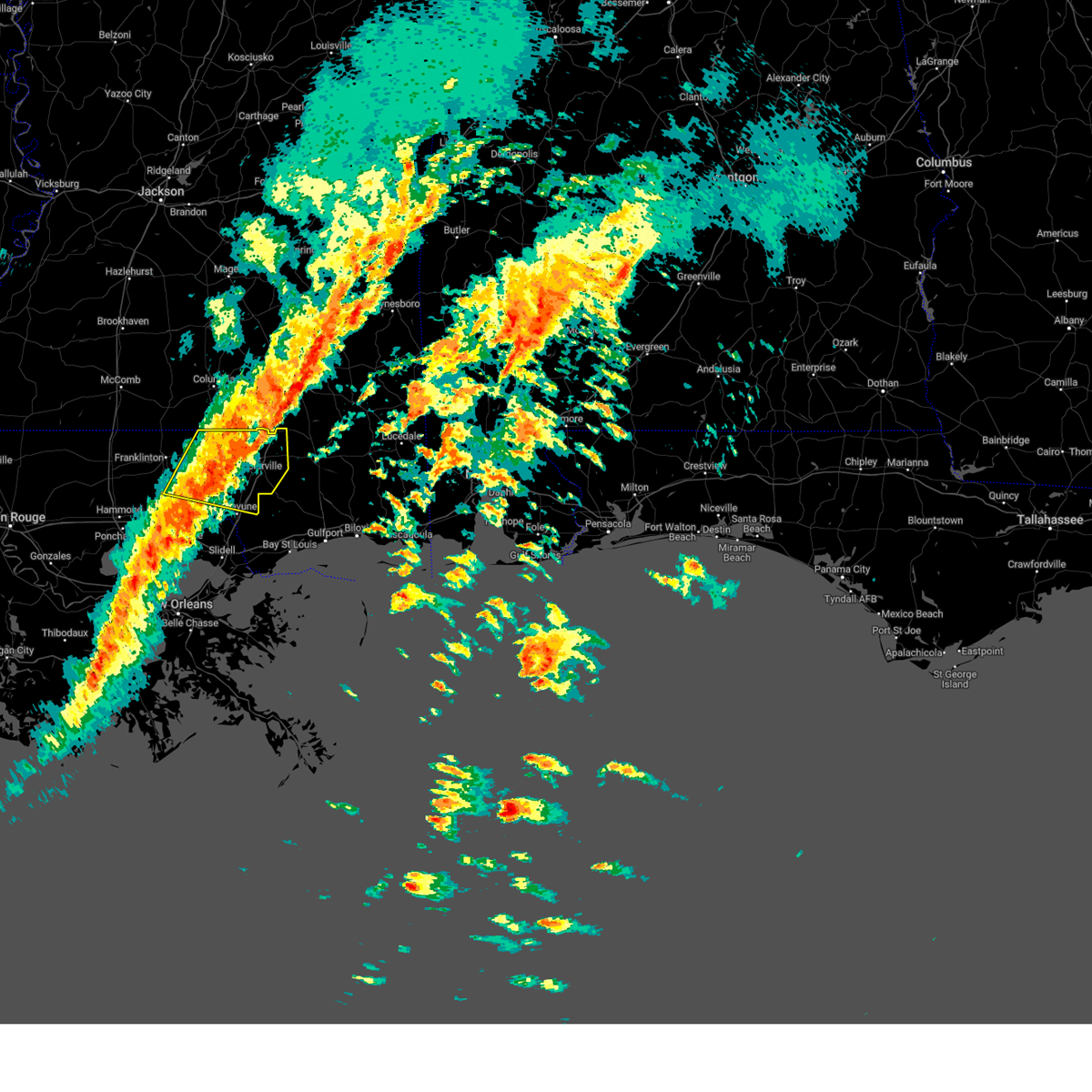
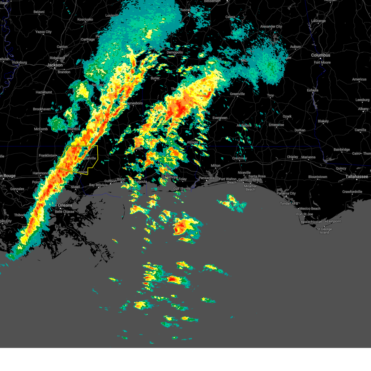
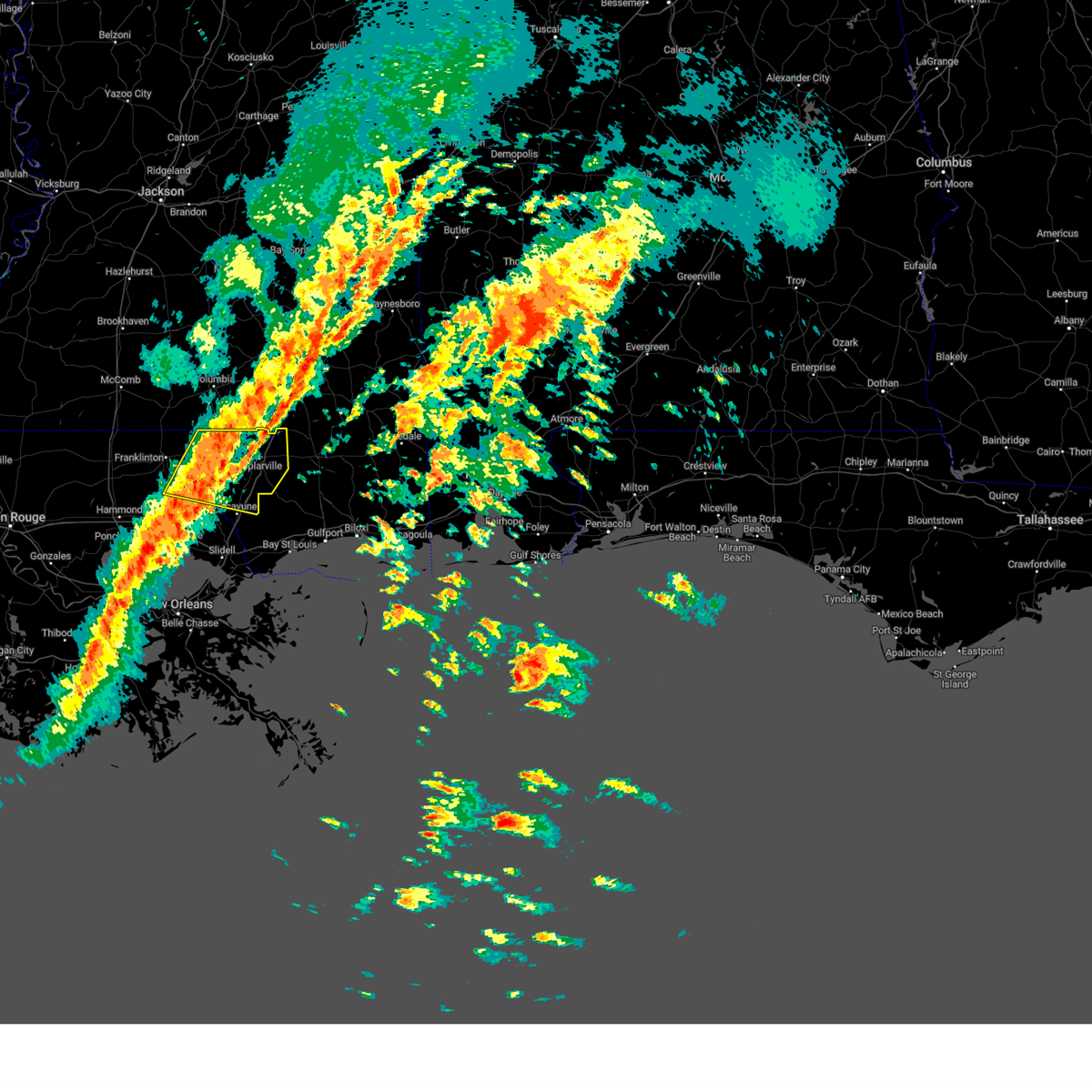
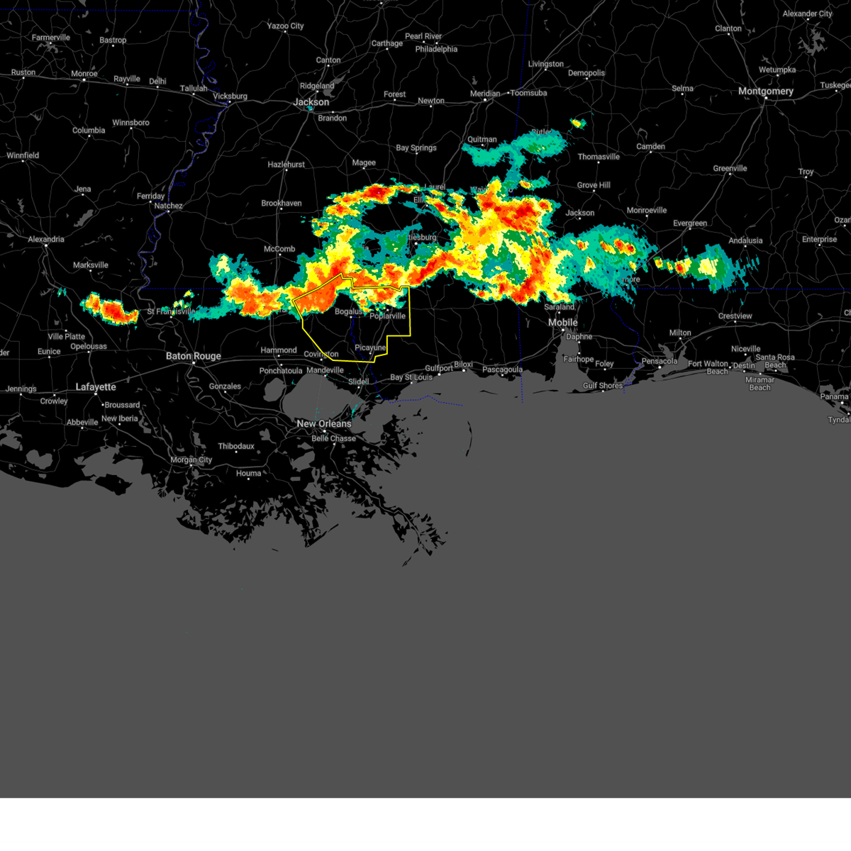
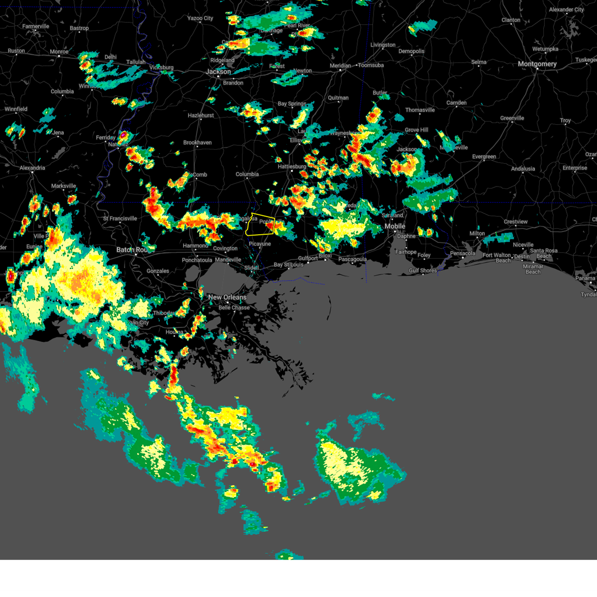
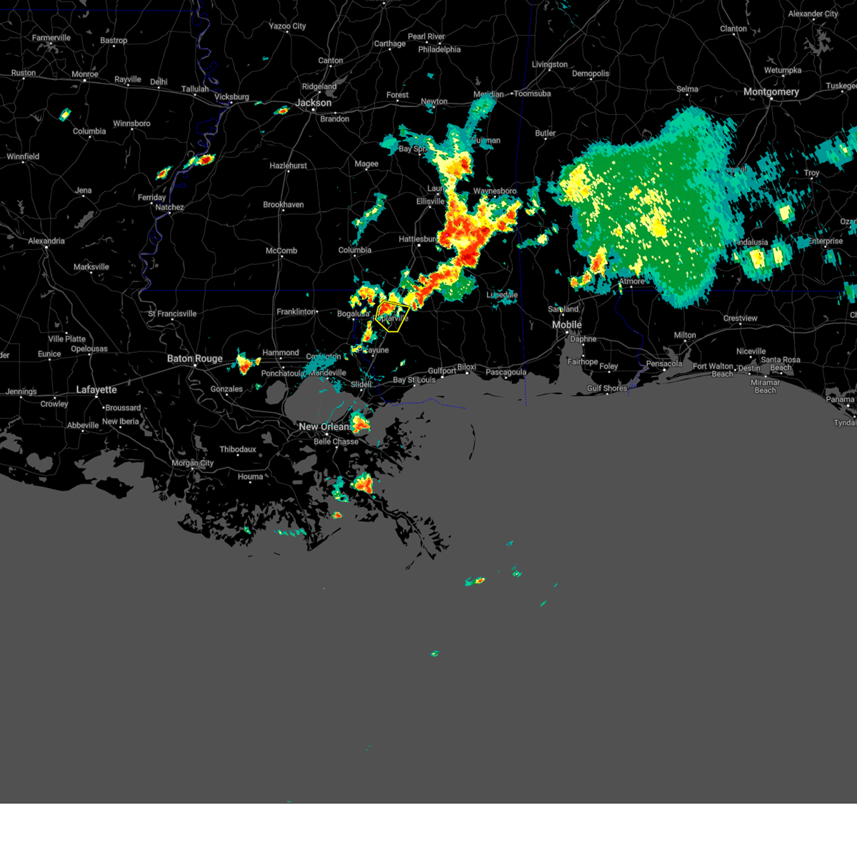
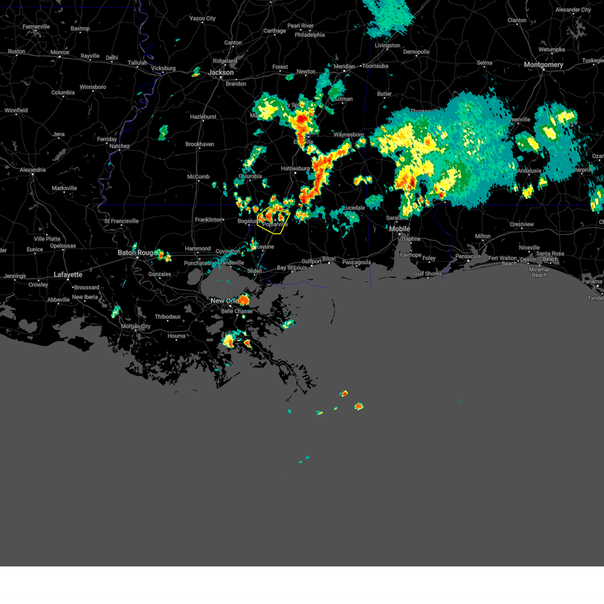
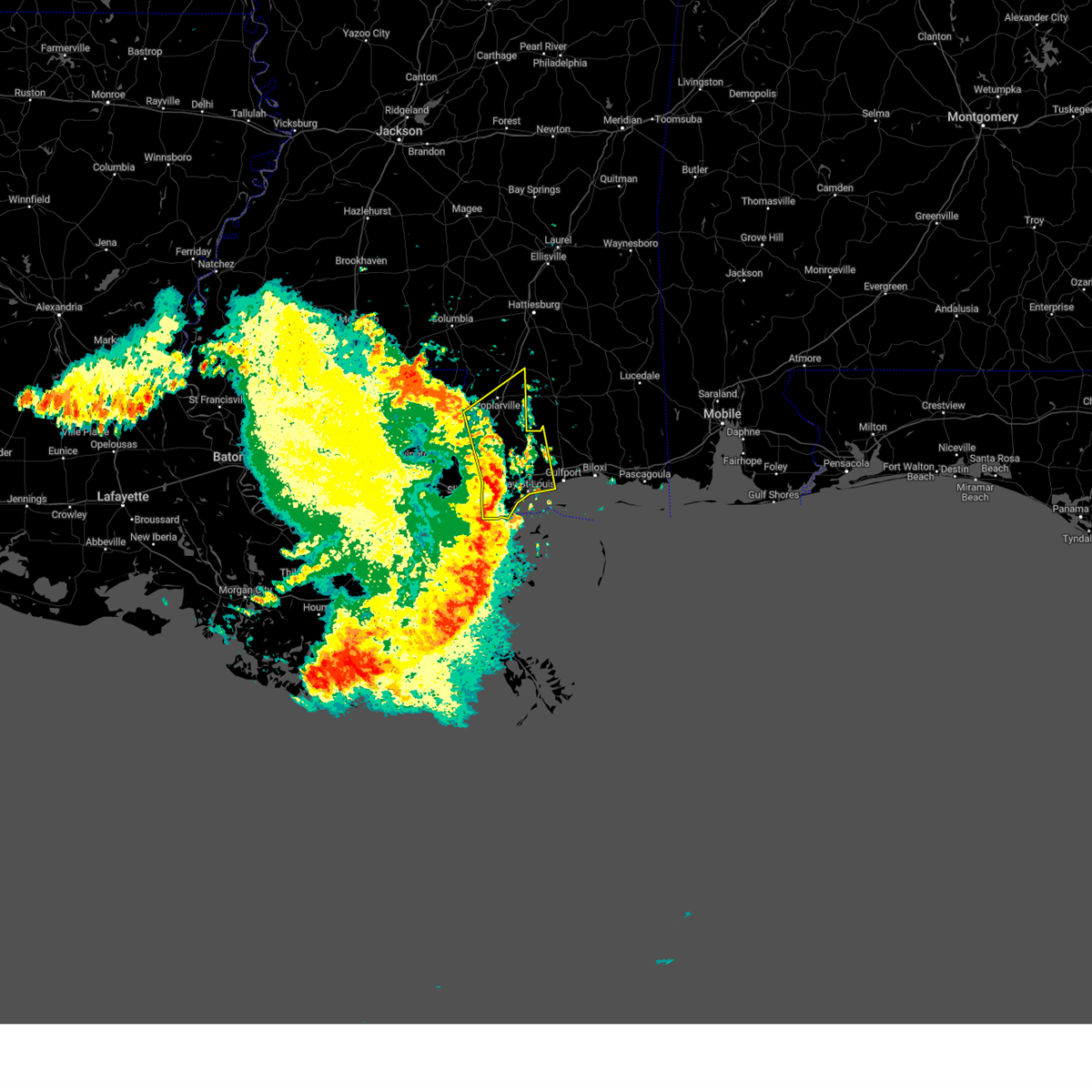
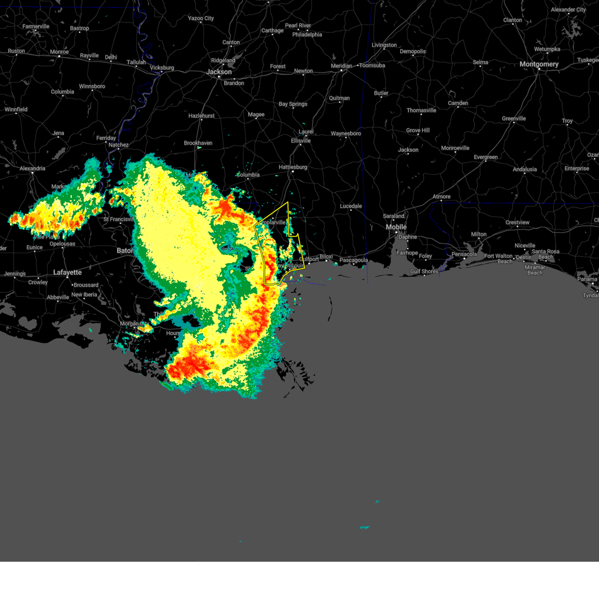
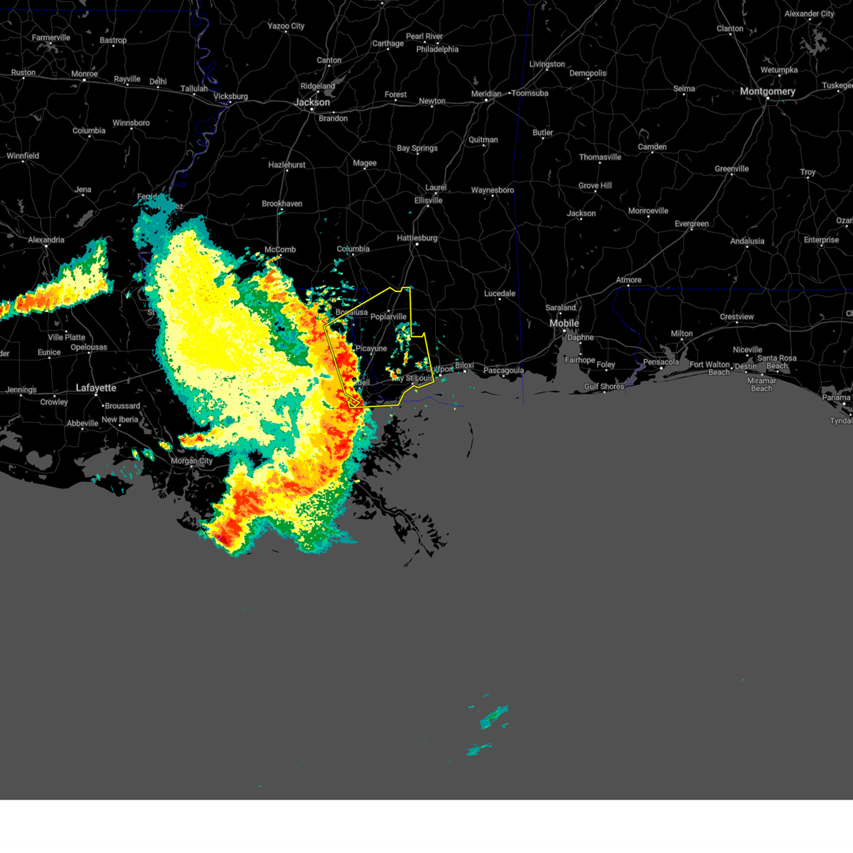
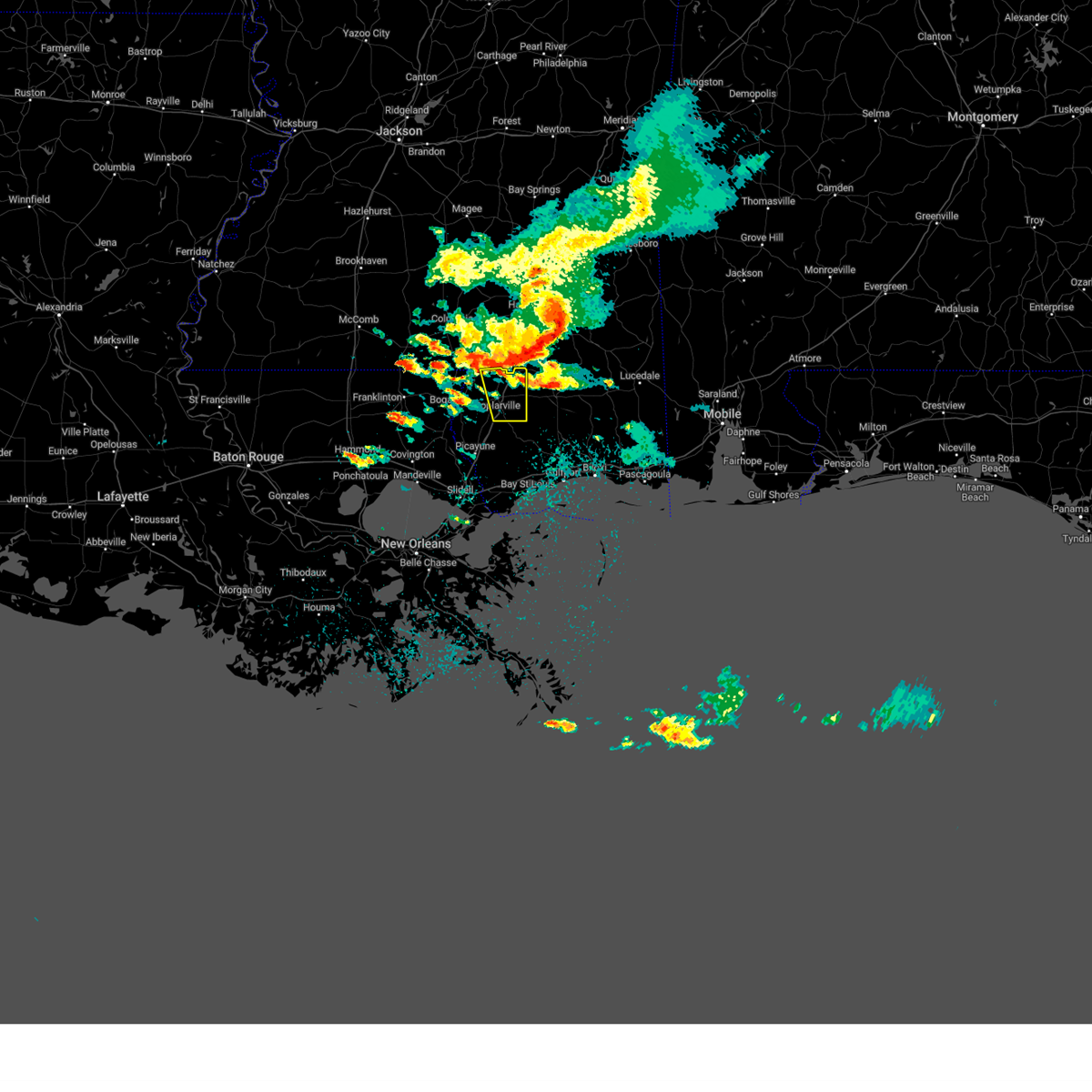
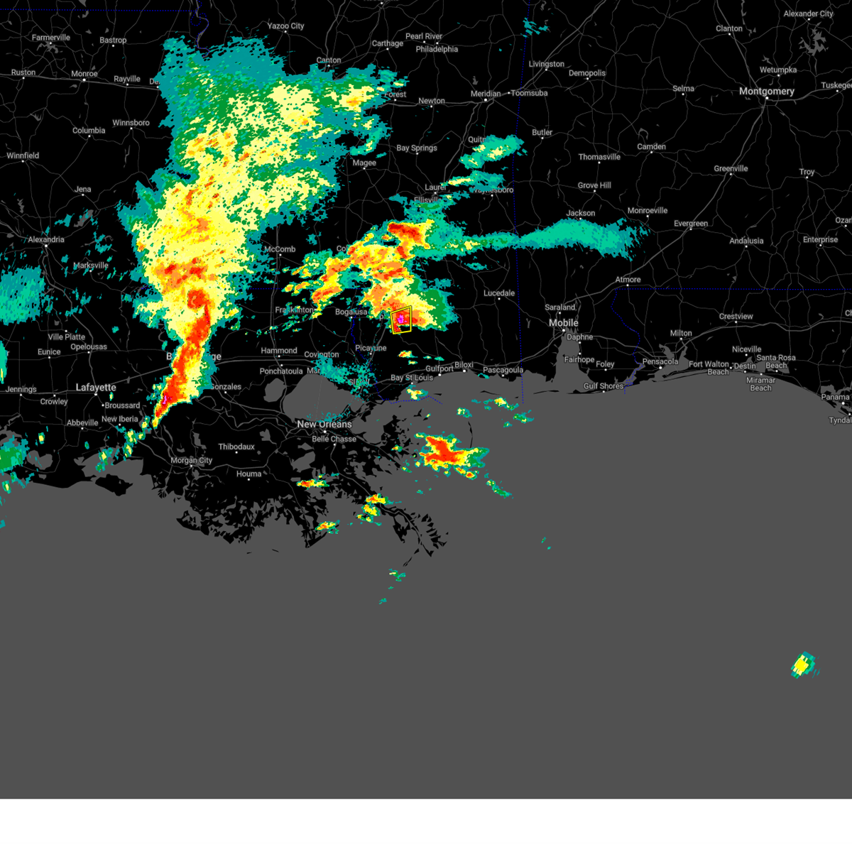
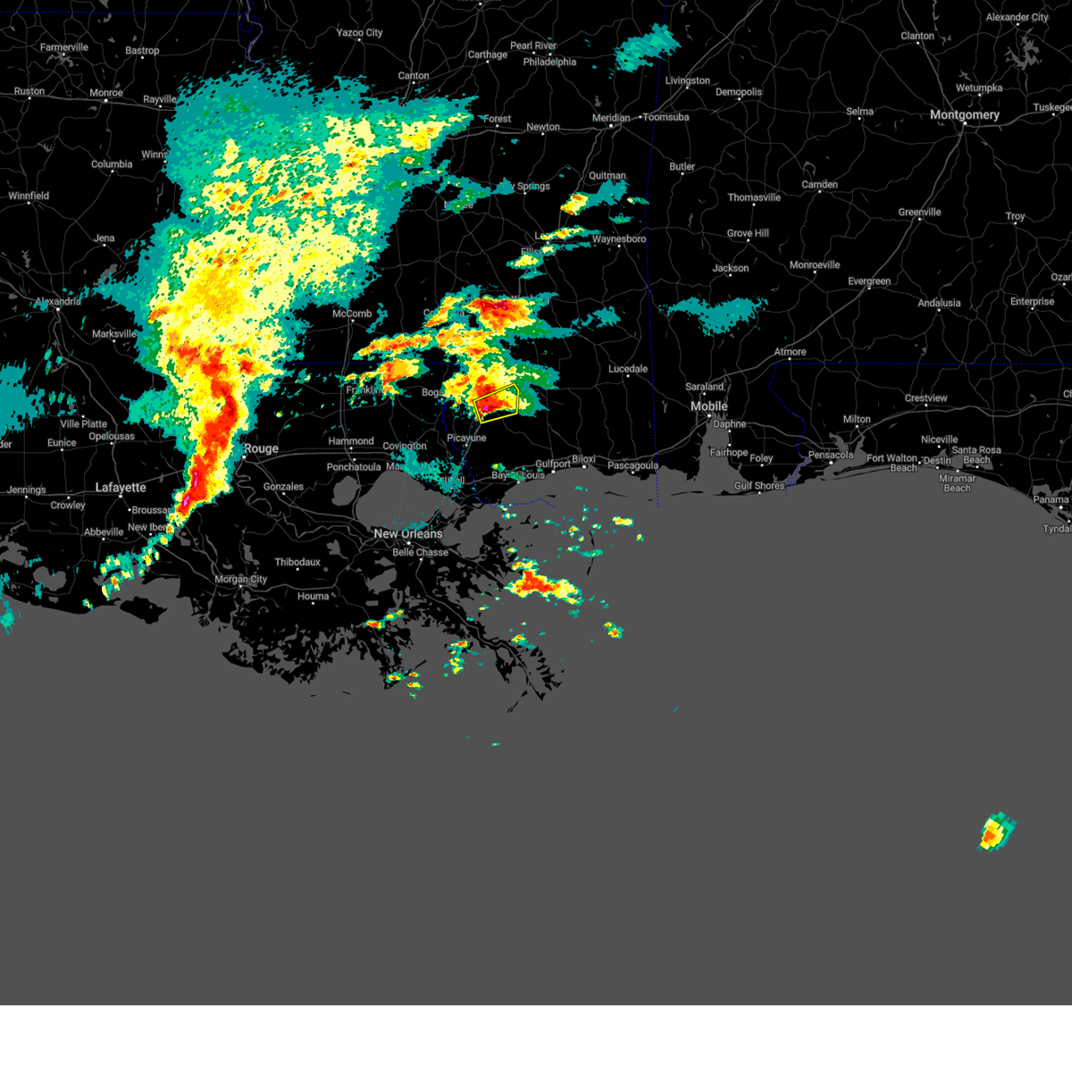
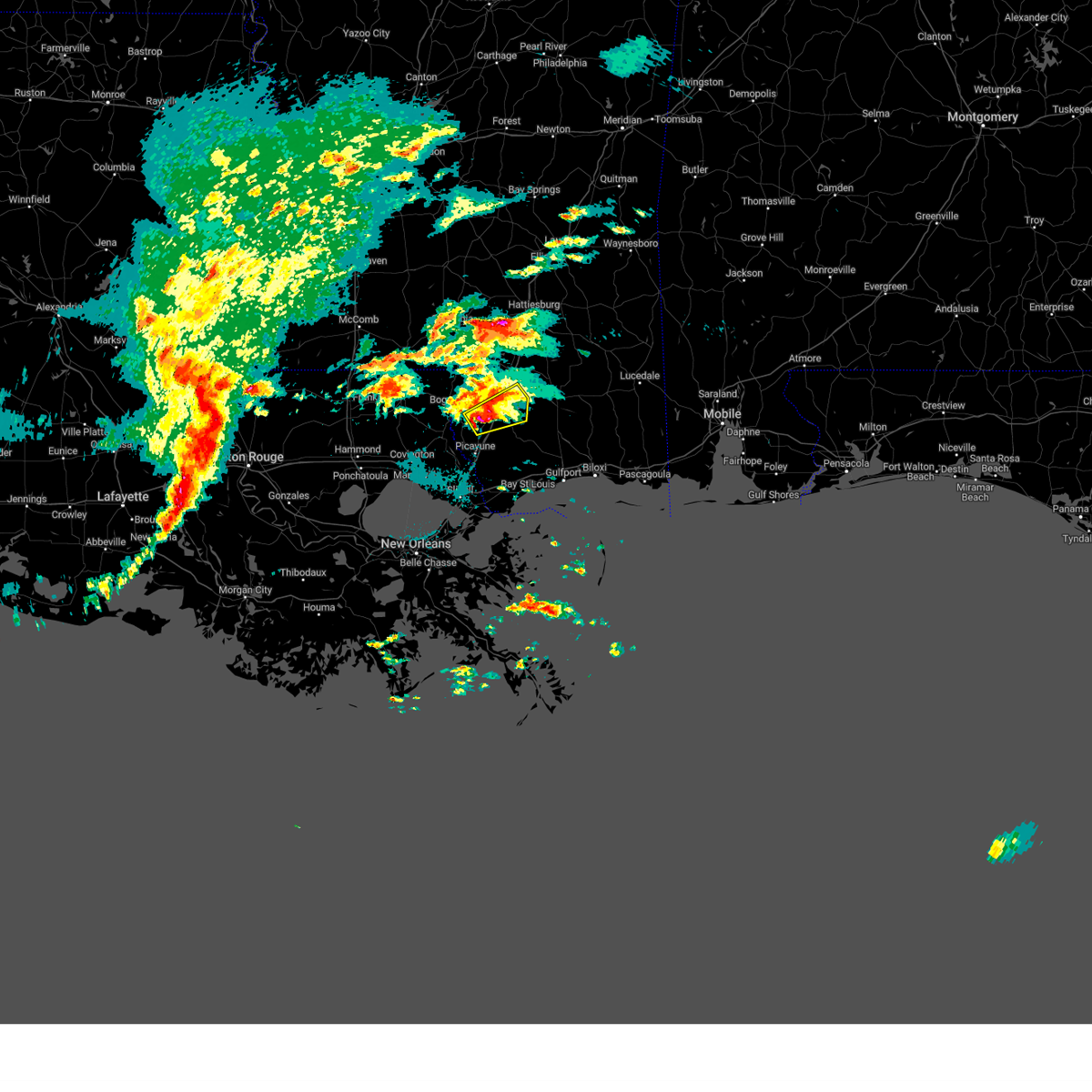
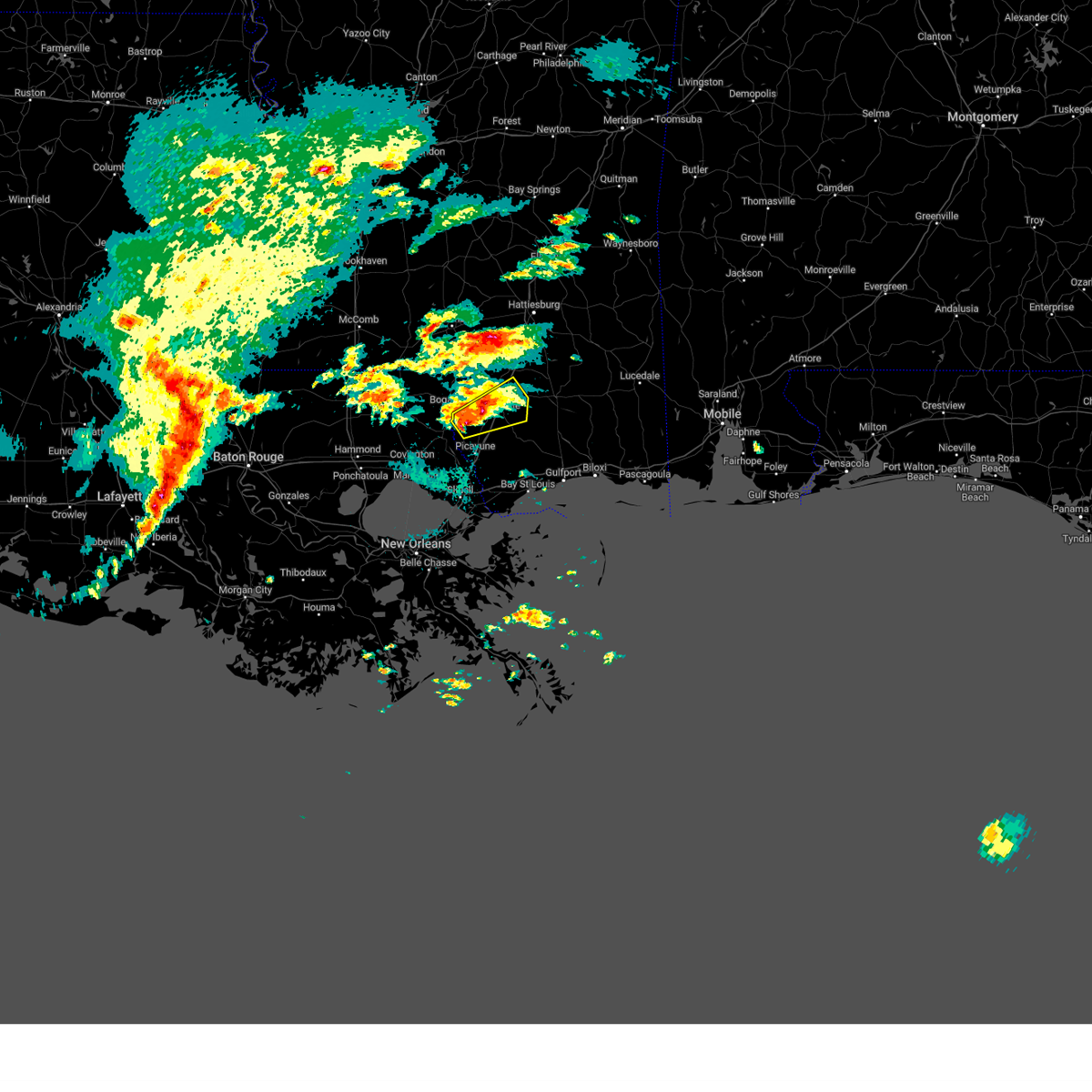
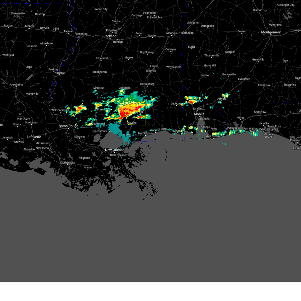
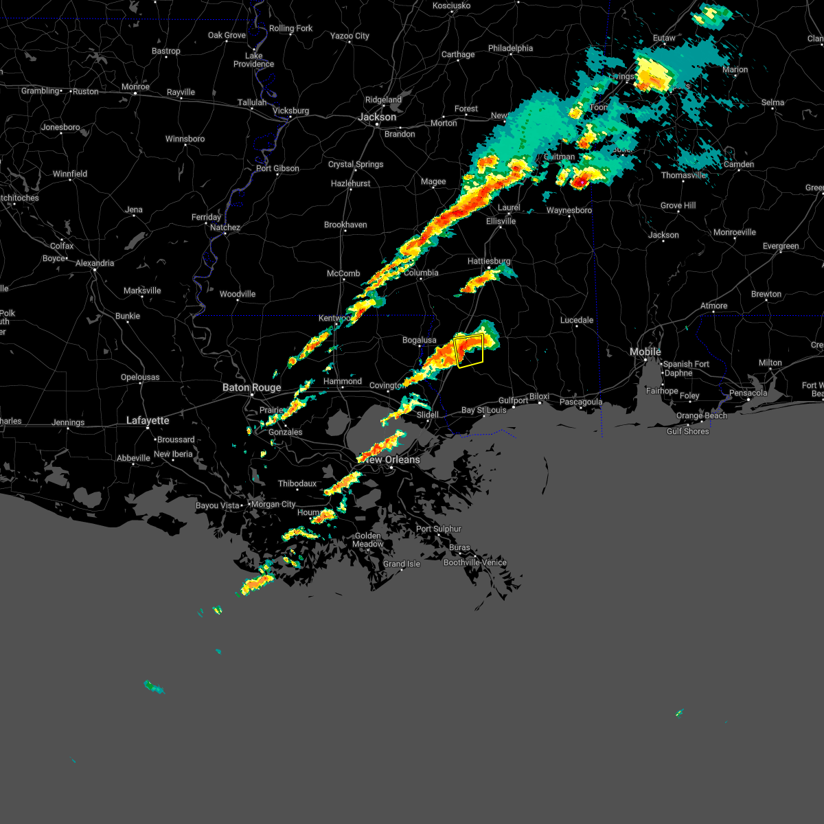
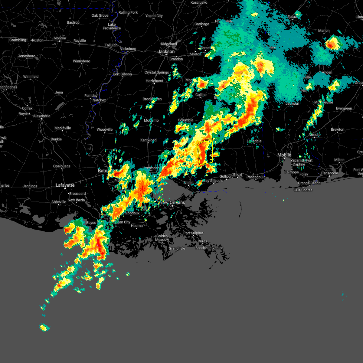
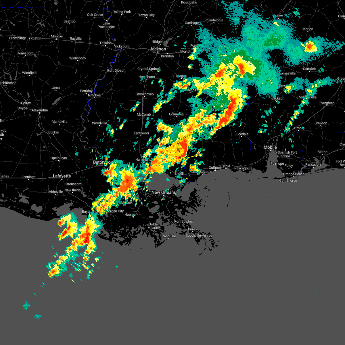
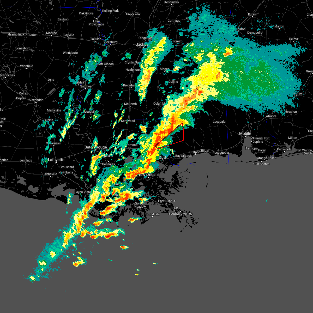
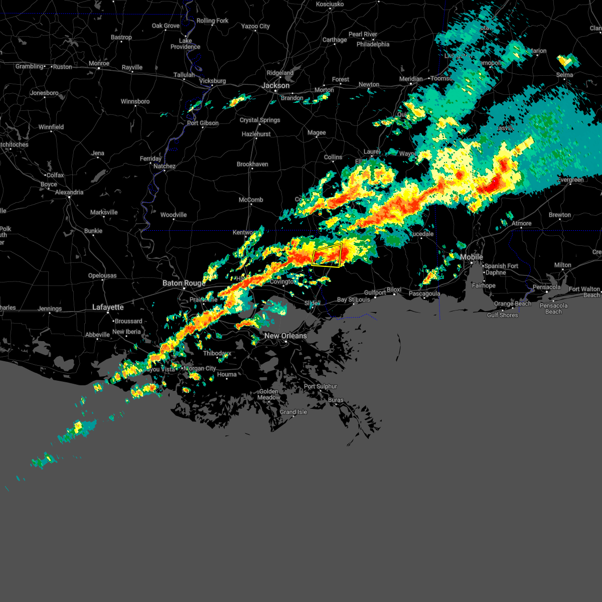
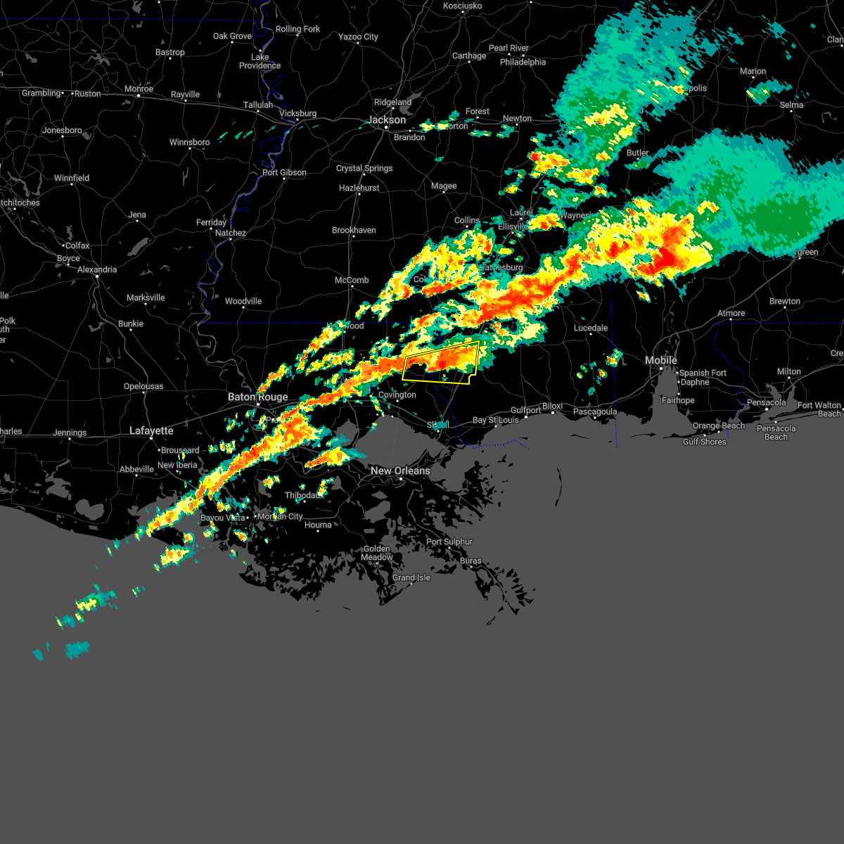
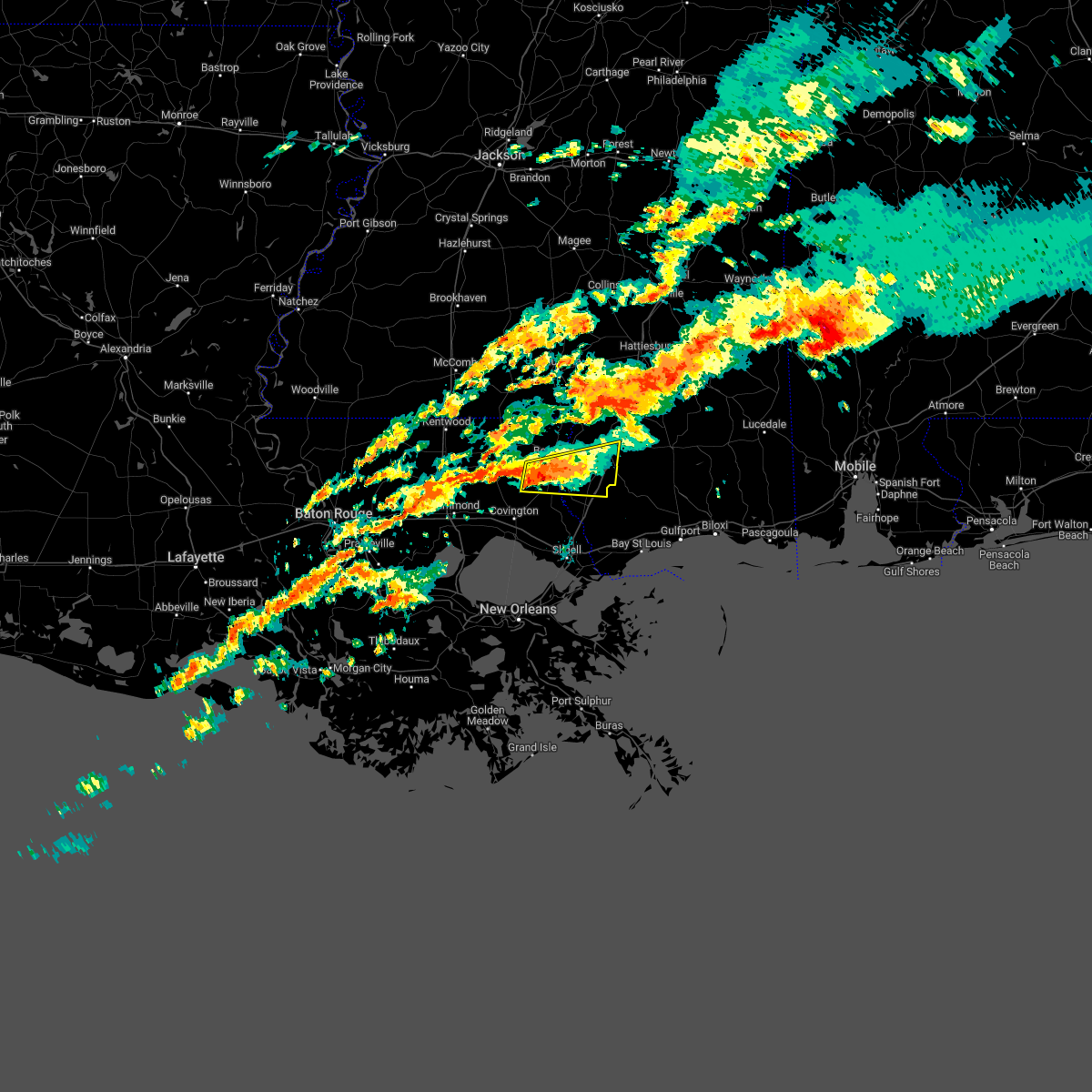
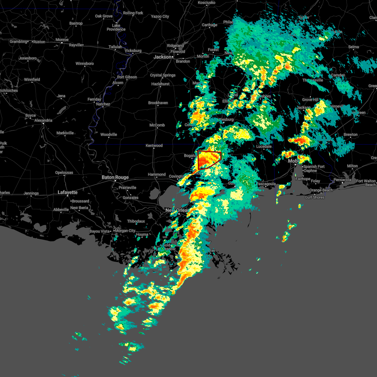
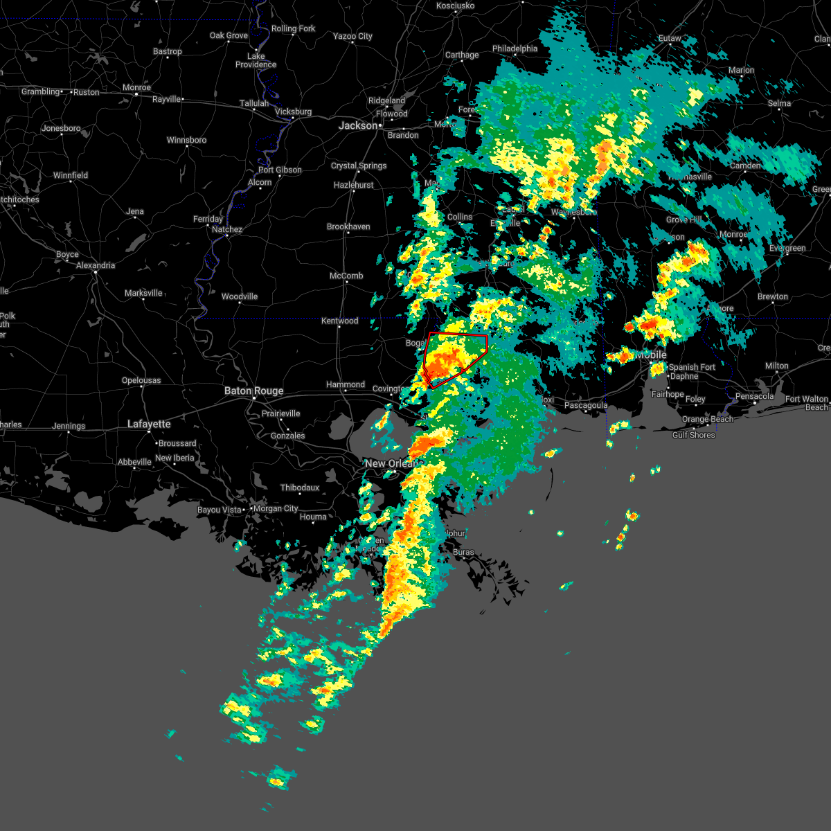
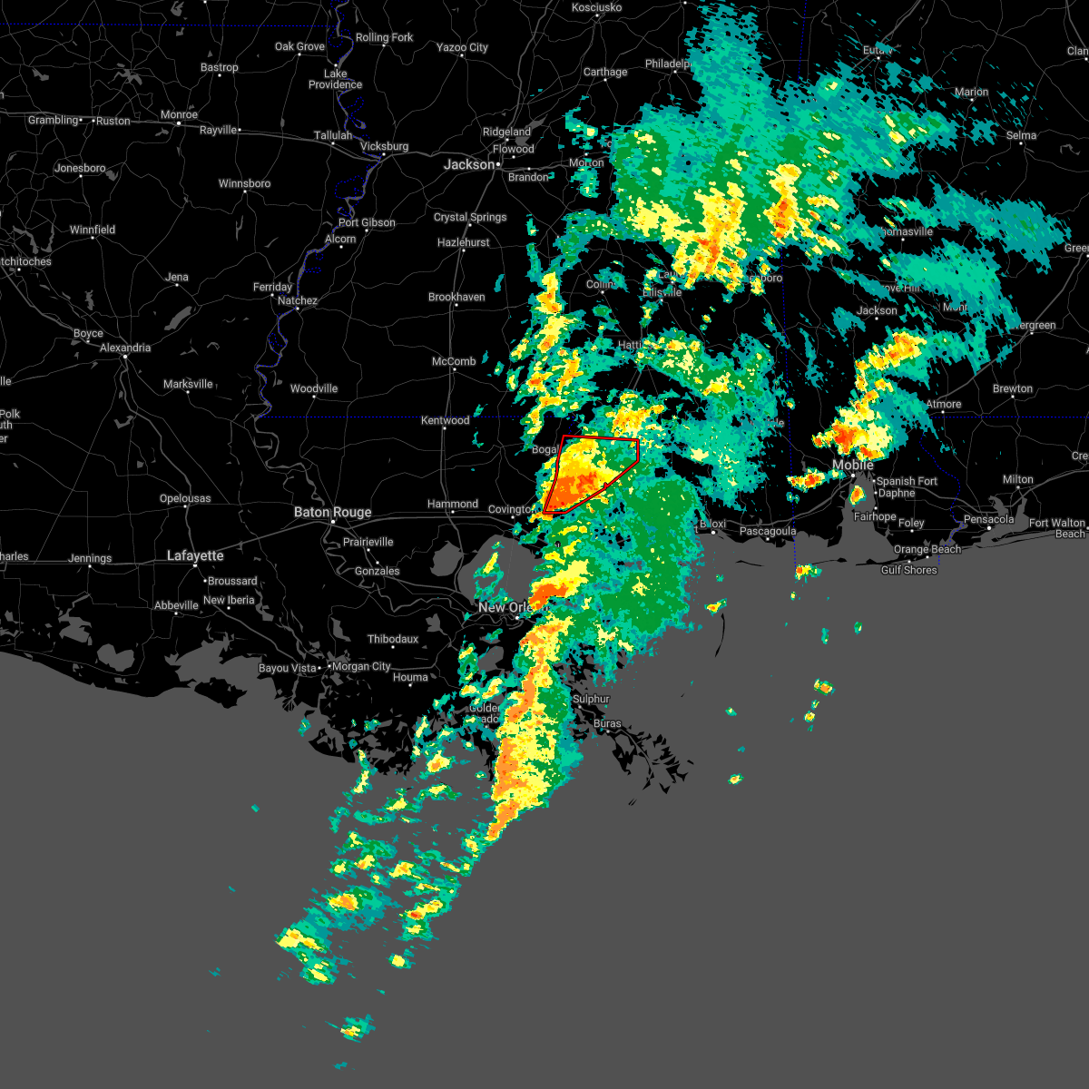
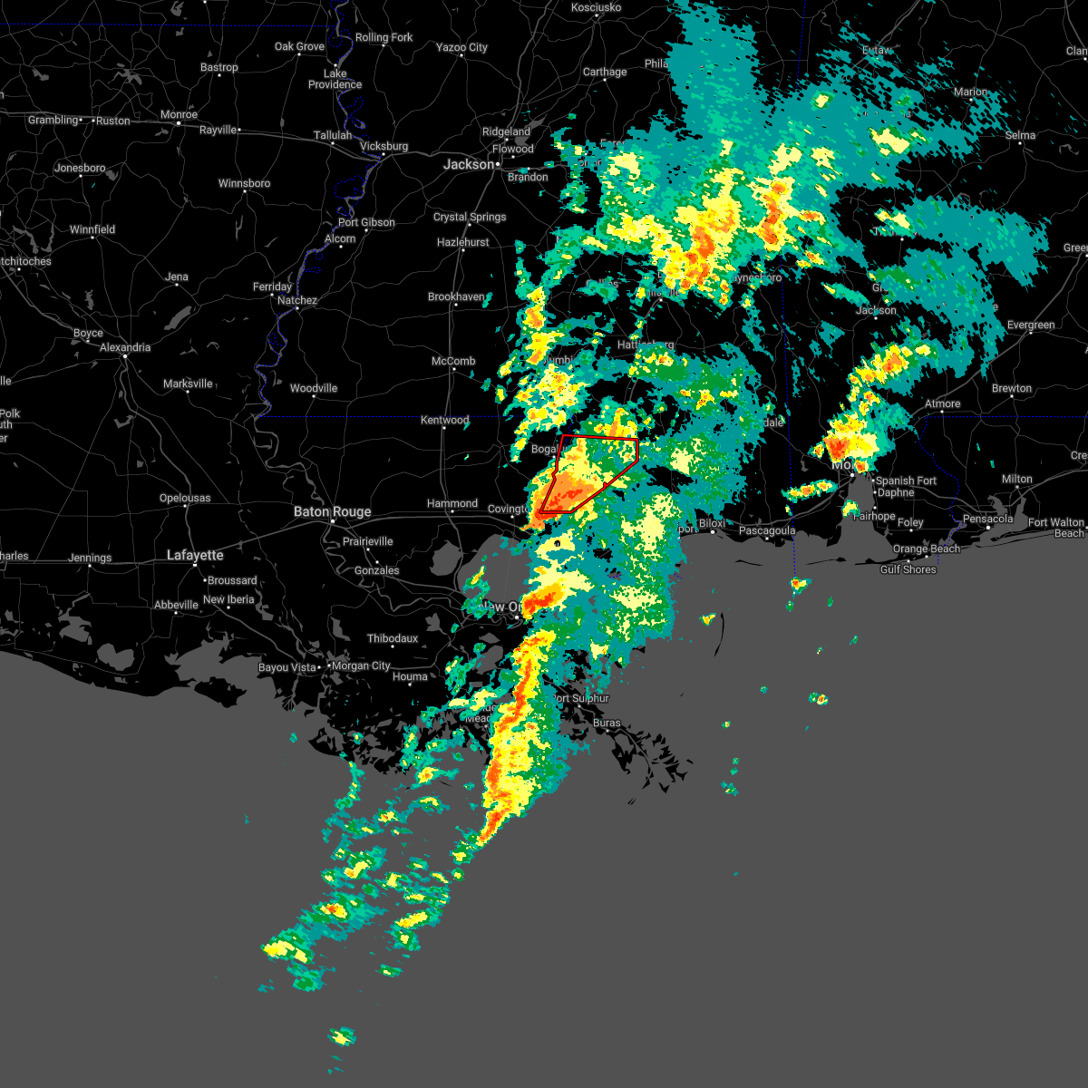
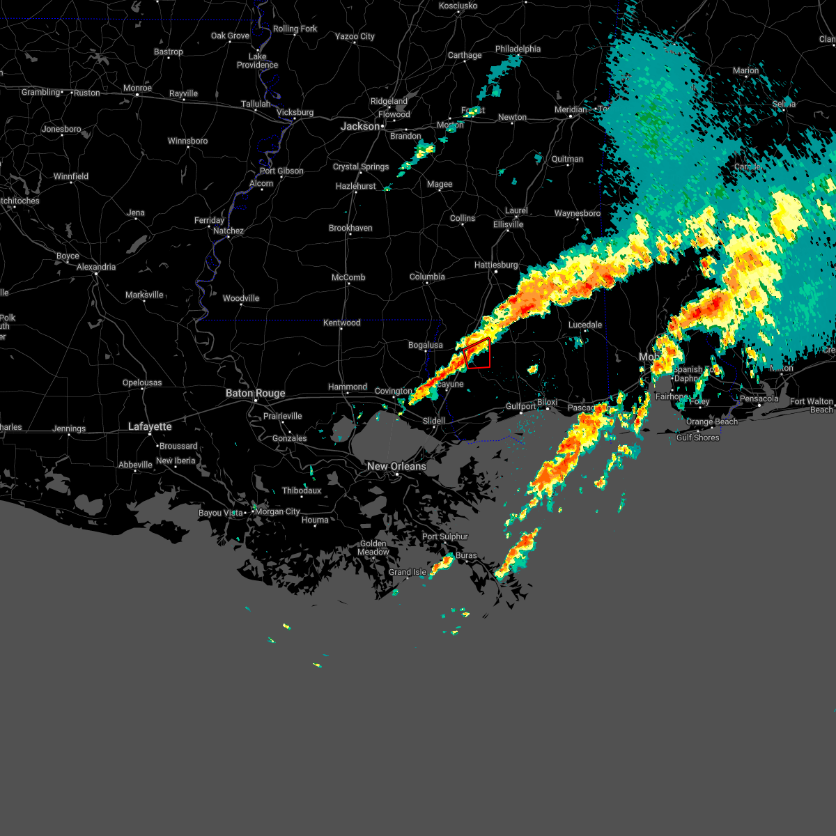
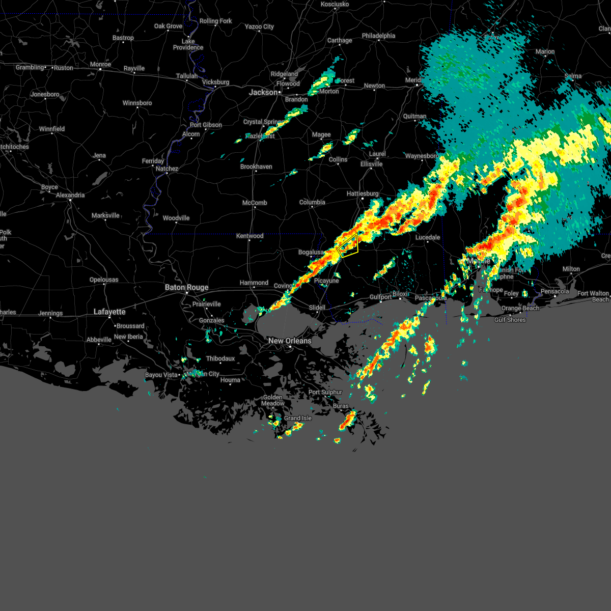
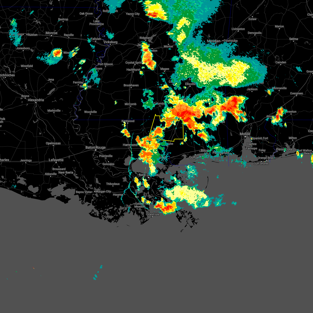
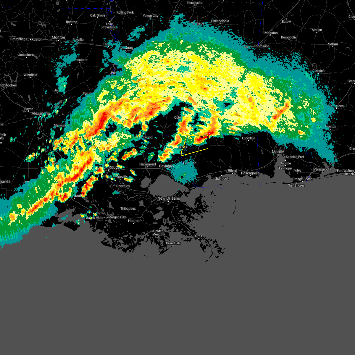
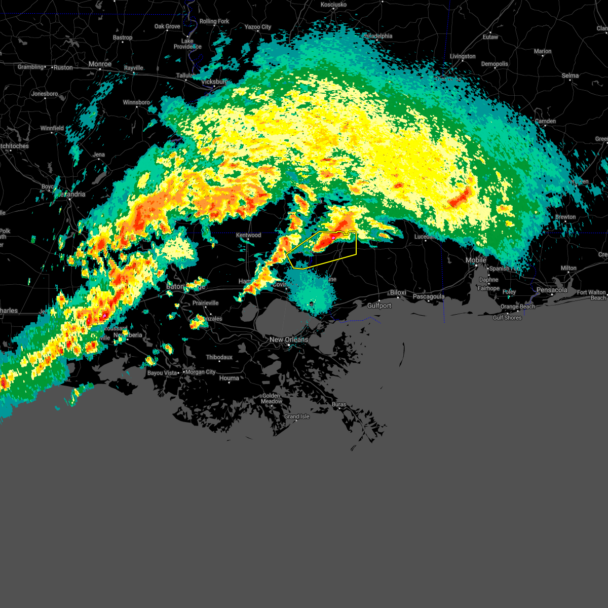
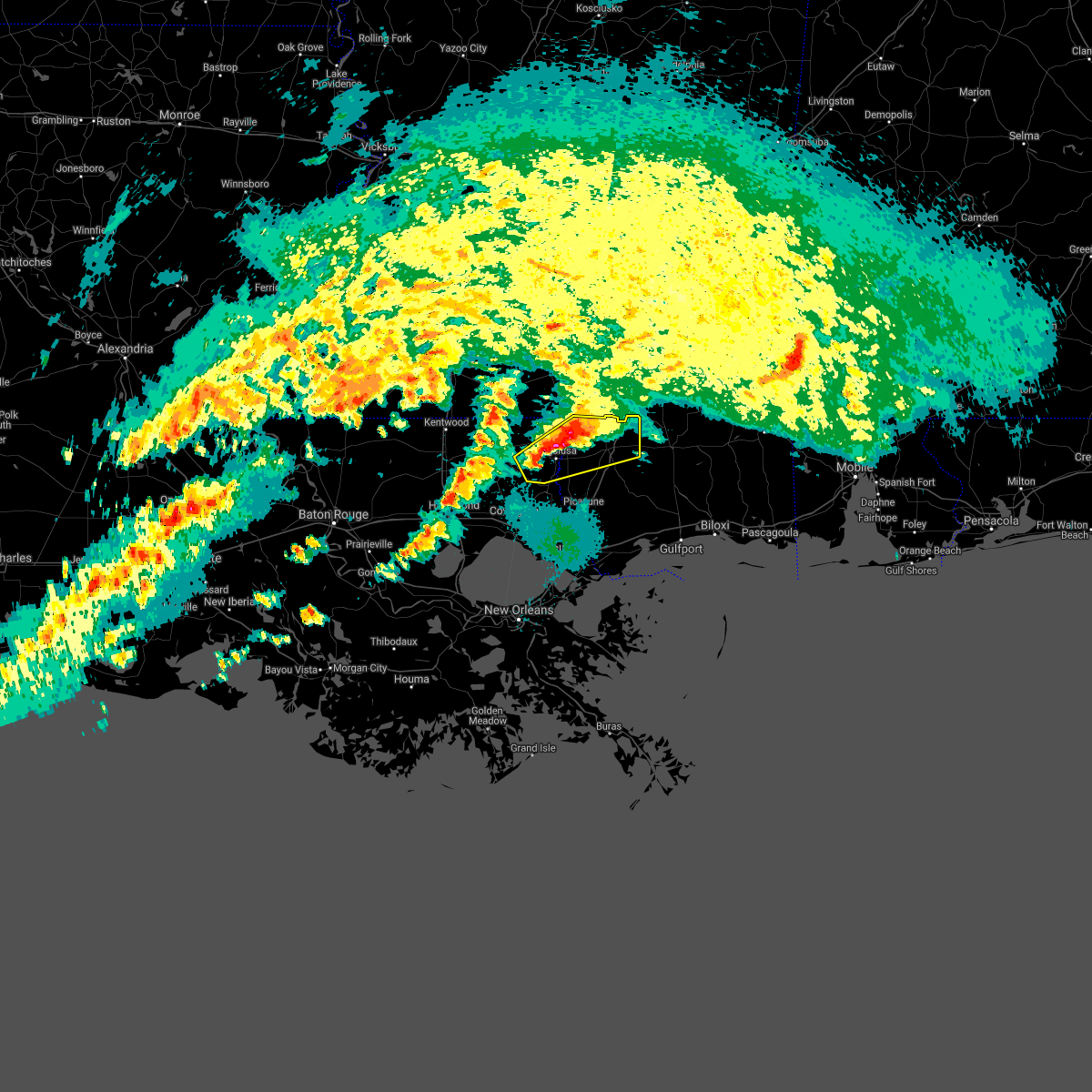
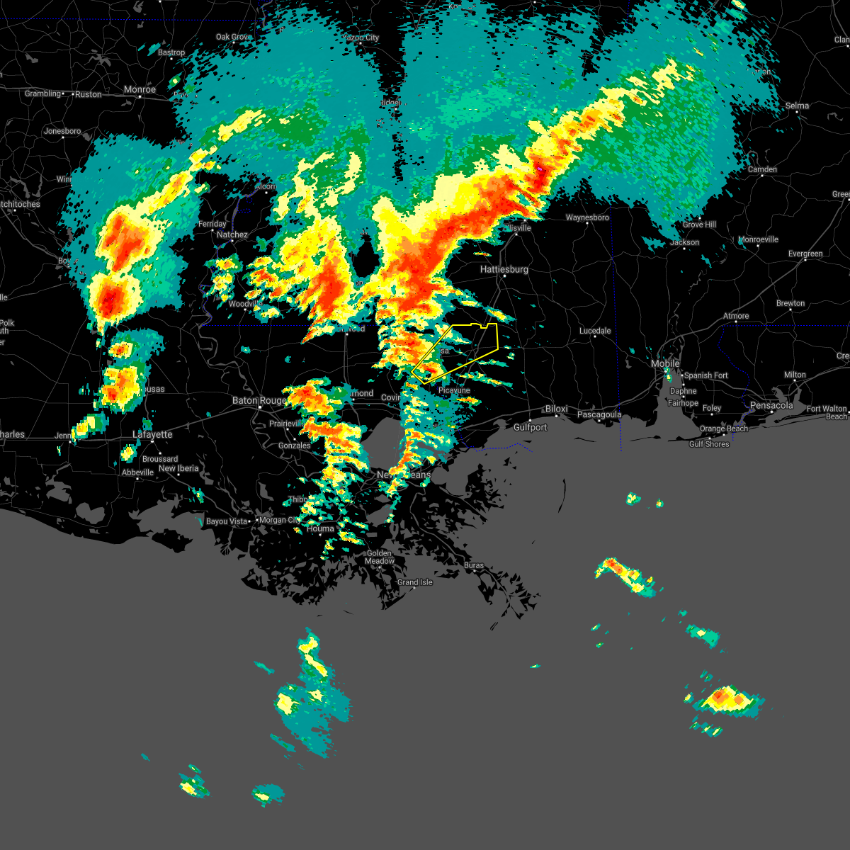
Hail Map for Poplarville, MS
The Poplarville, MS area has had 6 reports of on-the-ground hail by trained spotters, and has been under severe weather warnings 38 times during the past 12 months. Doppler radar has detected hail at or near Poplarville, MS on 40 occasions, including 8 occasions during the past year.
| Name: | Poplarville, MS |
| Where Located: | 69.1 miles NNE of New Orleans, LA |
| Map: | Google Map for Poplarville, MS |
| Population: | 2894 |
| Housing Units: | 1019 |
| More Info: | Search Google for Poplarville, MS |
3
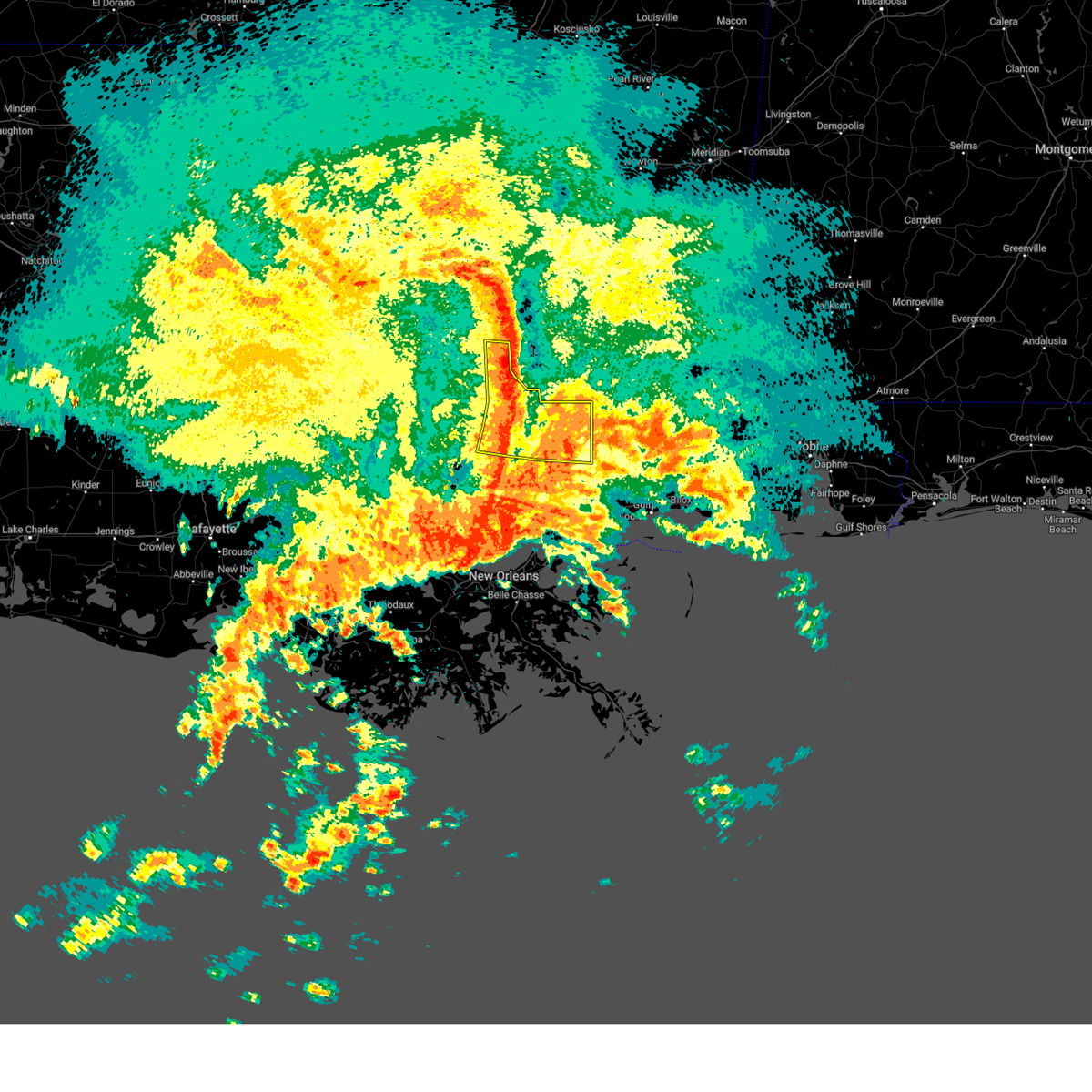
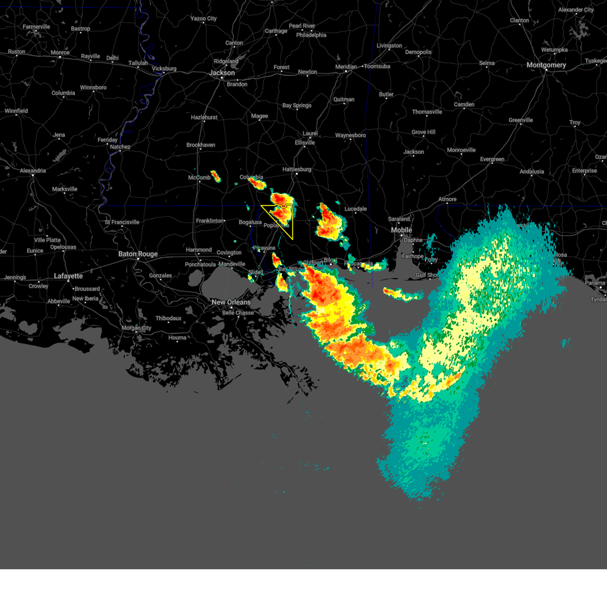
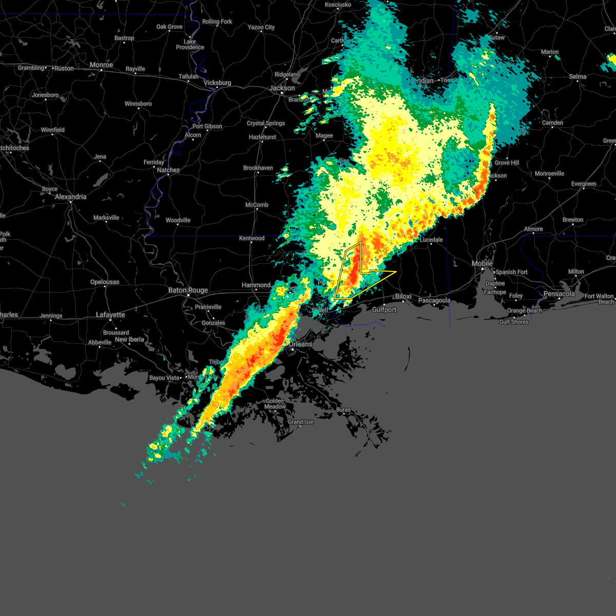
The Top Recent Hail Date for Poplarville, MS is Monday, June 12, 2023 (3rd out of 40)
Hail and Wind Damage Spotted near Poplarville, MS
| Date / Time | Report Details |
|---|---|
| 4/10/2024 10:31 AM CDT |
 Svrlix the national weather service in new orleans has issued a * severe thunderstorm warning for, northeastern orleans parish in southeastern louisiana, southeastern st. tammany parish in southeastern louisiana, harrison county in southern mississippi, hancock county in southern mississippi, western jackson county in southern mississippi, eastern pearl river county in southern mississippi, * until 1130 am cdt. * at 1031 am cdt, severe thunderstorms were located along a line extending from 9 miles southeast of lumberton to 12 miles northeast of kiln to 4 miles northwest of shoreline park to 5 miles southwest of pearlington, moving east at 55 mph (radar indicated). Hazards include 70 mph wind gusts. Expect considerable tree damage. Damage is likely to mobile homes, roofs, and outbuildings. Svrlix the national weather service in new orleans has issued a * severe thunderstorm warning for, northeastern orleans parish in southeastern louisiana, southeastern st. tammany parish in southeastern louisiana, harrison county in southern mississippi, hancock county in southern mississippi, western jackson county in southern mississippi, eastern pearl river county in southern mississippi, * until 1130 am cdt. * at 1031 am cdt, severe thunderstorms were located along a line extending from 9 miles southeast of lumberton to 12 miles northeast of kiln to 4 miles northwest of shoreline park to 5 miles southwest of pearlington, moving east at 55 mph (radar indicated). Hazards include 70 mph wind gusts. Expect considerable tree damage. Damage is likely to mobile homes, roofs, and outbuildings.
|
| 4/10/2024 9:43 AM CDT |
 At 943 am cdt, severe thunderstorms were located along a line extending from near arm to morgantown to near dexter to 9 miles east of franklinton, moving east at 60 mph (radar indicated). Hazards include 60 mph wind gusts. Expect damage to roofs, siding, and trees. locations impacted include, bogalusa, franklinton, poplarville, tylertown, varnado, enon, salem, crossroads, dexter, mcneil, and angie. This includes interstate 59 in mississippi between mile markers 16 and 31. At 943 am cdt, severe thunderstorms were located along a line extending from near arm to morgantown to near dexter to 9 miles east of franklinton, moving east at 60 mph (radar indicated). Hazards include 60 mph wind gusts. Expect damage to roofs, siding, and trees. locations impacted include, bogalusa, franklinton, poplarville, tylertown, varnado, enon, salem, crossroads, dexter, mcneil, and angie. This includes interstate 59 in mississippi between mile markers 16 and 31.
|
| 4/10/2024 9:43 AM CDT |
 the severe thunderstorm warning has been cancelled and is no longer in effect the severe thunderstorm warning has been cancelled and is no longer in effect
|
| 4/10/2024 9:20 AM CDT |
 Svrlix the national weather service in new orleans has issued a * severe thunderstorm warning for, northeastern tangipahoa parish in southeastern louisiana, washington parish in southeastern louisiana, walthall county in southern mississippi, eastern pike county in southern mississippi, central pearl river county in southern mississippi, * until 1015 am cdt. * at 920 am cdt, severe thunderstorms were located along a line extending from near ruth to 8 miles northwest of tylertown to near mount herman to near wilmer, moving east at 60 mph (radar indicated). Hazards include 60 mph wind gusts. expect damage to roofs, siding, and trees Svrlix the national weather service in new orleans has issued a * severe thunderstorm warning for, northeastern tangipahoa parish in southeastern louisiana, washington parish in southeastern louisiana, walthall county in southern mississippi, eastern pike county in southern mississippi, central pearl river county in southern mississippi, * until 1015 am cdt. * at 920 am cdt, severe thunderstorms were located along a line extending from near ruth to 8 miles northwest of tylertown to near mount herman to near wilmer, moving east at 60 mph (radar indicated). Hazards include 60 mph wind gusts. expect damage to roofs, siding, and trees
|
| 4/10/2024 9:09 AM CDT |
 the tornado warning has been cancelled and is no longer in effect the tornado warning has been cancelled and is no longer in effect
|
| 4/10/2024 9:01 AM CDT |
 the tornado warning has been cancelled and is no longer in effect the tornado warning has been cancelled and is no longer in effect
|
| 4/10/2024 9:01 AM CDT |
 At 901 am cdt, a severe thunderstorm capable of producing a tornado was located near picayune, moving northeast at 30 mph (radar indicated rotation). Hazards include tornado. Flying debris will be dangerous to those caught without shelter. mobile homes will be damaged or destroyed. damage to roofs, windows, and vehicles will occur. tree damage is likely. this dangerous storm will be near, mcneil around 915 am cdt. This includes interstate 59 in mississippi between mile markers 7 and 26. At 901 am cdt, a severe thunderstorm capable of producing a tornado was located near picayune, moving northeast at 30 mph (radar indicated rotation). Hazards include tornado. Flying debris will be dangerous to those caught without shelter. mobile homes will be damaged or destroyed. damage to roofs, windows, and vehicles will occur. tree damage is likely. this dangerous storm will be near, mcneil around 915 am cdt. This includes interstate 59 in mississippi between mile markers 7 and 26.
|
| 4/10/2024 8:55 AM CDT |
 the tornado warning has been cancelled and is no longer in effect the tornado warning has been cancelled and is no longer in effect
|
| 4/10/2024 8:55 AM CDT |
 At 855 am cdt, a severe thunderstorm capable of producing a tornado was located near picayune, moving northeast at 30 mph (radar indicated rotation). Hazards include tornado. Flying debris will be dangerous to those caught without shelter. mobile homes will be damaged or destroyed. damage to roofs, windows, and vehicles will occur. tree damage is likely. this dangerous storm will be near, picayune around 900 am cdt. mcneil around 915 am cdt. This includes interstate 59 in mississippi between mile markers 6 and 26. At 855 am cdt, a severe thunderstorm capable of producing a tornado was located near picayune, moving northeast at 30 mph (radar indicated rotation). Hazards include tornado. Flying debris will be dangerous to those caught without shelter. mobile homes will be damaged or destroyed. damage to roofs, windows, and vehicles will occur. tree damage is likely. this dangerous storm will be near, picayune around 900 am cdt. mcneil around 915 am cdt. This includes interstate 59 in mississippi between mile markers 6 and 26.
|
| 4/10/2024 8:41 AM CDT |
 Torlix the national weather service in new orleans has issued a * tornado warning for, central st. tammany parish in southeastern louisiana, northwestern hancock county in southern mississippi, pearl river county in southern mississippi, * until 930 am cdt. * at 841 am cdt, a severe thunderstorm capable of producing a tornado was located near pearl river, or 10 miles southwest of picayune, moving northeast at 30 mph (radar indicated rotation). Hazards include tornado. Flying debris will be dangerous to those caught without shelter. mobile homes will be damaged or destroyed. damage to roofs, windows, and vehicles will occur. tree damage is likely. this dangerous storm will be near, picayune around 850 am cdt. mcneil around 910 am cdt. this includes the following interstates, interstate 59 in louisiana between mile markers 4 and 11. Interstate 59 in mississippi between mile markers 1 and 26. Torlix the national weather service in new orleans has issued a * tornado warning for, central st. tammany parish in southeastern louisiana, northwestern hancock county in southern mississippi, pearl river county in southern mississippi, * until 930 am cdt. * at 841 am cdt, a severe thunderstorm capable of producing a tornado was located near pearl river, or 10 miles southwest of picayune, moving northeast at 30 mph (radar indicated rotation). Hazards include tornado. Flying debris will be dangerous to those caught without shelter. mobile homes will be damaged or destroyed. damage to roofs, windows, and vehicles will occur. tree damage is likely. this dangerous storm will be near, picayune around 850 am cdt. mcneil around 910 am cdt. this includes the following interstates, interstate 59 in louisiana between mile markers 4 and 11. Interstate 59 in mississippi between mile markers 1 and 26.
|
| 2/4/2024 5:21 PM CST |
 At 521 pm cst, a severe thunderstorm was located near poplarville, moving southeast at 25 mph (radar indicated). Hazards include quarter size hail. damage to vehicles is expected At 521 pm cst, a severe thunderstorm was located near poplarville, moving southeast at 25 mph (radar indicated). Hazards include quarter size hail. damage to vehicles is expected
|
| 1/25/2024 10:19 AM CST |
 At 1019 am cst, severe thunderstorms were located along a line extending from pine burr to 9 miles east of varnado, moving east at 45 mph (radar indicated). Hazards include 60 mph wind gusts. Expect damage to roofs, siding, and trees. locations impacted include, poplarville and crossroads. this includes interstate 59 in mississippi between mile markers 29 and 42. hail threat, radar indicated max hail size, <. 75 in wind threat, radar indicated max wind gust, 60 mph. At 1019 am cst, severe thunderstorms were located along a line extending from pine burr to 9 miles east of varnado, moving east at 45 mph (radar indicated). Hazards include 60 mph wind gusts. Expect damage to roofs, siding, and trees. locations impacted include, poplarville and crossroads. this includes interstate 59 in mississippi between mile markers 29 and 42. hail threat, radar indicated max hail size, <. 75 in wind threat, radar indicated max wind gust, 60 mph.
|
| 1/25/2024 10:16 AM CST | Tree down... 4 wheeler flipped on side with bricks off the side of a house. straight line wind damag in pearl river county MS, 10.5 miles SE of Poplarville, MS |
| 1/25/2024 10:00 AM CST |
 At 959 am cst, severe thunderstorms were located along a line extending from near dexter to near varnado, moving east at 45 mph (radar indicated). Hazards include 60 mph wind gusts. expect damage to roofs, siding, and trees At 959 am cst, severe thunderstorms were located along a line extending from near dexter to near varnado, moving east at 45 mph (radar indicated). Hazards include 60 mph wind gusts. expect damage to roofs, siding, and trees
|
| 1/9/2024 2:22 AM CST |
 The severe thunderstorm warning for northeastern hancock and pearl river counties will expire at 230 am cst, the storms which prompted the warning have weakened below severe limits, and have exited the warned area. therefore, the warning will be allowed to expire. a tornado watch remains in effect until 700 am cst for southeastern louisiana, and southern mississippi. The severe thunderstorm warning for northeastern hancock and pearl river counties will expire at 230 am cst, the storms which prompted the warning have weakened below severe limits, and have exited the warned area. therefore, the warning will be allowed to expire. a tornado watch remains in effect until 700 am cst for southeastern louisiana, and southern mississippi.
|
| 1/9/2024 1:41 AM CST |
 At 141 am cst, severe thunderstorms were located along a line extending from 7 miles southwest of lumberton to 6 miles northwest of picayune, moving east at 20 mph (radar indicated). Hazards include 60 mph wind gusts. expect damage to roofs, siding, and trees At 141 am cst, severe thunderstorms were located along a line extending from 7 miles southwest of lumberton to 6 miles northwest of picayune, moving east at 20 mph (radar indicated). Hazards include 60 mph wind gusts. expect damage to roofs, siding, and trees
|
| 1/9/2024 1:10 AM CST |
 At 102 am cst, severe thunderstorms were located along a line extending from near sandy hook to near sun, moving east at 25 mph (radar indicated). Hazards include 60 mph wind gusts. expect damage to roofs, siding, and trees At 102 am cst, severe thunderstorms were located along a line extending from near sandy hook to near sun, moving east at 25 mph (radar indicated). Hazards include 60 mph wind gusts. expect damage to roofs, siding, and trees
|
| 1/9/2024 1:10 AM CST |
 The national weather service in new orleans has issued a * severe thunderstorm warning for. north central st. tammany parish in southeastern louisiana. eastern washington parish in southeastern louisiana. pearl river county in southern mississippi. Until 145 am cst. The national weather service in new orleans has issued a * severe thunderstorm warning for. north central st. tammany parish in southeastern louisiana. eastern washington parish in southeastern louisiana. pearl river county in southern mississippi. Until 145 am cst.
|
| 1/9/2024 1:03 AM CST |
 At 102 am cst, severe thunderstorms were located along a line extending from near sandy hook to near sun, moving east at 25 mph (radar indicated). Hazards include 60 mph wind gusts. expect damage to roofs, siding, and trees At 102 am cst, severe thunderstorms were located along a line extending from near sandy hook to near sun, moving east at 25 mph (radar indicated). Hazards include 60 mph wind gusts. expect damage to roofs, siding, and trees
|
| 6/19/2023 7:17 PM CDT |
 At 716 pm cdt, a severe thunderstorm was located 8 miles east of poplarville, moving southeast at 80 mph (radar indicated). Hazards include 60 mph wind gusts and quarter size hail. Hail damage to vehicles is expected. Expect wind damage to roofs, siding, and trees. At 716 pm cdt, a severe thunderstorm was located 8 miles east of poplarville, moving southeast at 80 mph (radar indicated). Hazards include 60 mph wind gusts and quarter size hail. Hail damage to vehicles is expected. Expect wind damage to roofs, siding, and trees.
|
| 6/12/2023 6:21 PM CDT |
 At 620 pm cdt, severe thunderstorms were located along a line extending from 9 miles east of poplarville to 12 miles east of mcneil to near picayune, moving southeast at 40 mph (radar indicated). Hazards include 60 mph wind gusts. expect damage to roofs, siding, and trees At 620 pm cdt, severe thunderstorms were located along a line extending from 9 miles east of poplarville to 12 miles east of mcneil to near picayune, moving southeast at 40 mph (radar indicated). Hazards include 60 mph wind gusts. expect damage to roofs, siding, and trees
|
| 6/12/2023 6:13 PM CDT | So reports trees down in poplarvill in pearl river county MS, 1.1 miles ESE of Poplarville, MS |
| 6/12/2023 6:12 PM CDT | Tree damage to homes on w mcclendon and s allen in poplarville. additional trees uprooted and power lines down in the area as wel in pearl river county MS, 0.5 miles NE of Poplarville, MS |
| 6/12/2023 6:12 PM CDT | Tree damage to home on s. pine in poplarville. additional trees uprooted and power lines down in the area as wel in pearl river county MS, 1.1 miles ESE of Poplarville, MS |
| 6/12/2023 6:12 PM CDT | Tree damage to homes on hyde st and n jackson st in poplarville. additional trees uprooted and power lines down in the area as wel in pearl river county MS, 1.5 miles SE of Poplarville, MS |
| 6/12/2023 6:03 PM CDT |
 At 602 pm cdt, severe thunderstorms were located along a line extending from 8 miles northwest of poplarville to 6 miles east of sun to 6 miles west of bush, moving southeast at 45 mph (radar indicated). Hazards include 70 mph wind gusts and quarter size hail. Hail damage to vehicles is expected. expect considerable tree damage. wind damage is also likely to mobile homes, roofs, and outbuildings. locations impacted include, bogalusa, picayune, poplarville, varnado, sun, bush, crossroads, mcneil and angie. this includes interstate 59 in mississippi between mile markers 1 and 42. thunderstorm damage threat, considerable hail threat, radar indicated max hail size, 1. 00 in wind threat, radar indicated max wind gust, 70 mph. At 602 pm cdt, severe thunderstorms were located along a line extending from 8 miles northwest of poplarville to 6 miles east of sun to 6 miles west of bush, moving southeast at 45 mph (radar indicated). Hazards include 70 mph wind gusts and quarter size hail. Hail damage to vehicles is expected. expect considerable tree damage. wind damage is also likely to mobile homes, roofs, and outbuildings. locations impacted include, bogalusa, picayune, poplarville, varnado, sun, bush, crossroads, mcneil and angie. this includes interstate 59 in mississippi between mile markers 1 and 42. thunderstorm damage threat, considerable hail threat, radar indicated max hail size, 1. 00 in wind threat, radar indicated max wind gust, 70 mph.
|
| 6/12/2023 6:00 PM CDT | So reports trees down in crossroads are in pearl river county MS, 15.8 miles ENE of Poplarville, MS |
| 6/12/2023 5:42 PM CDT |
 At 541 pm cdt, severe thunderstorms were located along a line extending from near sandy hook to 6 miles northeast of enon to 6 miles northwest of folsom, moving southeast at 45 mph. these are destructive storms for bogalusa (radar indicated). Hazards include 80 mph wind gusts and quarter size hail. Flying debris will be dangerous to those caught without shelter. mobile homes will be heavily damaged. expect considerable damage to roofs, windows, and vehicles. Extensive tree damage and power outages are likely. At 541 pm cdt, severe thunderstorms were located along a line extending from near sandy hook to 6 miles northeast of enon to 6 miles northwest of folsom, moving southeast at 45 mph. these are destructive storms for bogalusa (radar indicated). Hazards include 80 mph wind gusts and quarter size hail. Flying debris will be dangerous to those caught without shelter. mobile homes will be heavily damaged. expect considerable damage to roofs, windows, and vehicles. Extensive tree damage and power outages are likely.
|
| 6/5/2023 3:47 PM CDT |
 At 347 pm cdt, a severe thunderstorm was located near mcneil, or 7 miles southwest of poplarville, moving west at 20 mph (radar indicated). Hazards include 60 mph wind gusts and quarter size hail. Hail damage to vehicles is expected. Expect wind damage to roofs, siding, and trees. At 347 pm cdt, a severe thunderstorm was located near mcneil, or 7 miles southwest of poplarville, moving west at 20 mph (radar indicated). Hazards include 60 mph wind gusts and quarter size hail. Hail damage to vehicles is expected. Expect wind damage to roofs, siding, and trees.
|
| 5/16/2023 6:23 PM CDT |
 At 623 pm cdt, a severe thunderstorm was located over poplarville, moving southeast at 5 mph (radar indicated). Hazards include 60 mph wind gusts and nickel size hail. Expect damage to roofs, siding, and trees. locations impacted include, poplarville. this includes interstate 59 in mississippi between mile markers 19 and 33. hail threat, radar indicated max hail size, 0. 88 in wind threat, radar indicated max wind gust, 60 mph. At 623 pm cdt, a severe thunderstorm was located over poplarville, moving southeast at 5 mph (radar indicated). Hazards include 60 mph wind gusts and nickel size hail. Expect damage to roofs, siding, and trees. locations impacted include, poplarville. this includes interstate 59 in mississippi between mile markers 19 and 33. hail threat, radar indicated max hail size, 0. 88 in wind threat, radar indicated max wind gust, 60 mph.
|
| 5/16/2023 5:53 PM CDT |
 At 553 pm cdt, a severe thunderstorm was located near poplarville, moving southeast at 5 mph (radar indicated). Hazards include 60 mph wind gusts and quarter size hail. Hail damage to vehicles is expected. Expect wind damage to roofs, siding, and trees. At 553 pm cdt, a severe thunderstorm was located near poplarville, moving southeast at 5 mph (radar indicated). Hazards include 60 mph wind gusts and quarter size hail. Hail damage to vehicles is expected. Expect wind damage to roofs, siding, and trees.
|
| 5/6/2023 10:02 AM CDT |
 At 1002 am cdt, severe thunderstorms were located along a line extending from near poplarville to near diamondhead, moving northeast at 45 mph (radar indicated). Hazards include 60 mph wind gusts and penny size hail. Expect damage to roofs, siding, and trees. locations impacted include, long beach, picayune, bay st. louis, waveland, poplarville, diamondhead, kiln, pearlington, mcneil, shoreline park and stennis space center. this includes the following interstates, interstate 10 in mississippi between mile markers 1 and 29. Interstate 59 in mississippi between mile markers 3 and 37. At 1002 am cdt, severe thunderstorms were located along a line extending from near poplarville to near diamondhead, moving northeast at 45 mph (radar indicated). Hazards include 60 mph wind gusts and penny size hail. Expect damage to roofs, siding, and trees. locations impacted include, long beach, picayune, bay st. louis, waveland, poplarville, diamondhead, kiln, pearlington, mcneil, shoreline park and stennis space center. this includes the following interstates, interstate 10 in mississippi between mile markers 1 and 29. Interstate 59 in mississippi between mile markers 3 and 37.
|
| 5/6/2023 9:27 AM CDT |
 At 927 am cdt, severe thunderstorms were located along a line extending from near sun to near slidell, moving northeast at 45 mph (radar indicated). Hazards include 70 mph wind gusts and penny size hail. Expect considerable tree damage. Damage is likely to mobile homes, roofs, and outbuildings. At 927 am cdt, severe thunderstorms were located along a line extending from near sun to near slidell, moving northeast at 45 mph (radar indicated). Hazards include 70 mph wind gusts and penny size hail. Expect considerable tree damage. Damage is likely to mobile homes, roofs, and outbuildings.
|
| 5/5/2023 3:47 PM CDT |
 At 346 pm cdt, a severe thunderstorm was located near lumberton, or 11 miles north of poplarville, moving southeast at 30 mph (radar indicated). Hazards include 60 mph wind gusts and quarter size hail. Hail damage to vehicles is expected. Expect wind damage to roofs, siding, and trees. At 346 pm cdt, a severe thunderstorm was located near lumberton, or 11 miles north of poplarville, moving southeast at 30 mph (radar indicated). Hazards include 60 mph wind gusts and quarter size hail. Hail damage to vehicles is expected. Expect wind damage to roofs, siding, and trees.
|
| 4/27/2023 4:56 AM CDT |
 At 456 am cdt, a severe thunderstorm was located 9 miles southeast of poplarville, moving east at 25 mph (radar indicated). Hazards include two inch hail and 60 mph wind gusts. People and animals outdoors will be injured. expect hail damage to roofs, siding, windows, and vehicles. expect wind damage to roofs, siding, and trees. this severe thunderstorm will remain over mainly rural areas of east central pearl river county. this includes interstate 59 in mississippi near mile marker 28. thunderstorm damage threat, considerable hail threat, radar indicated max hail size, 2. 00 in wind threat, radar indicated max wind gust, 60 mph. At 456 am cdt, a severe thunderstorm was located 9 miles southeast of poplarville, moving east at 25 mph (radar indicated). Hazards include two inch hail and 60 mph wind gusts. People and animals outdoors will be injured. expect hail damage to roofs, siding, windows, and vehicles. expect wind damage to roofs, siding, and trees. this severe thunderstorm will remain over mainly rural areas of east central pearl river county. this includes interstate 59 in mississippi near mile marker 28. thunderstorm damage threat, considerable hail threat, radar indicated max hail size, 2. 00 in wind threat, radar indicated max wind gust, 60 mph.
|
| 4/27/2023 4:50 AM CDT | Quarter sized hail reported 5.5 miles NNW of Poplarville, MS, ham report relayed via nws mob of quarter size hail southeast of poplarville. |
| 4/27/2023 4:42 AM CDT |
 At 442 am cdt, a severe thunderstorm was located 7 miles southeast of poplarville, moving east at 30 mph (radar indicated). Hazards include ping pong ball size hail and 60 mph wind gusts. People and animals outdoors will be injured. expect hail damage to roofs, siding, windows, and vehicles. expect wind damage to roofs, siding, and trees. locations impacted include, poplarville. this includes interstate 59 in mississippi between mile markers 16 and 28. hail threat, radar indicated max hail size, 1. 50 in wind threat, radar indicated max wind gust, 60 mph. At 442 am cdt, a severe thunderstorm was located 7 miles southeast of poplarville, moving east at 30 mph (radar indicated). Hazards include ping pong ball size hail and 60 mph wind gusts. People and animals outdoors will be injured. expect hail damage to roofs, siding, windows, and vehicles. expect wind damage to roofs, siding, and trees. locations impacted include, poplarville. this includes interstate 59 in mississippi between mile markers 16 and 28. hail threat, radar indicated max hail size, 1. 50 in wind threat, radar indicated max wind gust, 60 mph.
|
| 4/27/2023 4:37 AM CDT | Report of trees down at savannah-millard rd and hwy 53 in pearl river county... m in pearl river county MS, 6.8 miles NNW of Poplarville, MS |
| 4/27/2023 4:29 AM CDT |
 At 428 am cdt, a severe thunderstorm was located near mcneil, or 8 miles southwest of poplarville, moving east at 30 mph (radar indicated). Hazards include ping pong ball size hail and 60 mph wind gusts. People and animals outdoors will be injured. expect hail damage to roofs, siding, windows, and vehicles. expect wind damage to roofs, siding, and trees. locations impacted include, poplarville and mcneil. this includes interstate 59 in mississippi between mile markers 15 and 32. hail threat, radar indicated max hail size, 1. 50 in wind threat, radar indicated max wind gust, 60 mph. At 428 am cdt, a severe thunderstorm was located near mcneil, or 8 miles southwest of poplarville, moving east at 30 mph (radar indicated). Hazards include ping pong ball size hail and 60 mph wind gusts. People and animals outdoors will be injured. expect hail damage to roofs, siding, windows, and vehicles. expect wind damage to roofs, siding, and trees. locations impacted include, poplarville and mcneil. this includes interstate 59 in mississippi between mile markers 15 and 32. hail threat, radar indicated max hail size, 1. 50 in wind threat, radar indicated max wind gust, 60 mph.
|
| 4/27/2023 4:11 AM CDT |
 At 410 am cdt, a severe thunderstorm was located near mcneil, or 9 miles southeast of bogalusa, moving northeast at 30 mph (radar indicated). Hazards include 60 mph wind gusts and quarter size hail. Hail damage to vehicles is expected. Expect wind damage to roofs, siding, and trees. At 410 am cdt, a severe thunderstorm was located near mcneil, or 9 miles southeast of bogalusa, moving northeast at 30 mph (radar indicated). Hazards include 60 mph wind gusts and quarter size hail. Hail damage to vehicles is expected. Expect wind damage to roofs, siding, and trees.
|
| 3/27/2023 11:49 PM CDT |
 At 1148 pm cdt, a severe thunderstorm was located near crossroads, or 7 miles west of poplarville, moving east at 20 mph (radar indicated). Hazards include 60 mph wind gusts and quarter size hail. Hail damage to vehicles is expected. Expect wind damage to roofs, siding, and trees. At 1148 pm cdt, a severe thunderstorm was located near crossroads, or 7 miles west of poplarville, moving east at 20 mph (radar indicated). Hazards include 60 mph wind gusts and quarter size hail. Hail damage to vehicles is expected. Expect wind damage to roofs, siding, and trees.
|
| 1/24/2023 11:29 PM CST |
 At 1129 pm cst, severe thunderstorms were located along a line extending from near ovett to near poplarville, moving northeast at 40 mph (radar indicated). Hazards include 60 mph wind gusts and penny size hail. Expect damage to roofs, siding, and trees. locations impacted include, slidell, waveland, poplarville, diamondhead, pearl river, kiln, pearlington, shoreline park and stennis space center. this includes the following interstates, interstate 10 in louisiana between mile markers 263 and 273. interstate 10 in mississippi between mile markers 1 and 16. interstate 12 between mile markers 81 and 84. interstate 59 in louisiana between mile markers 1 and 8. Interstate 59 in mississippi between mile markers 23 and 42. At 1129 pm cst, severe thunderstorms were located along a line extending from near ovett to near poplarville, moving northeast at 40 mph (radar indicated). Hazards include 60 mph wind gusts and penny size hail. Expect damage to roofs, siding, and trees. locations impacted include, slidell, waveland, poplarville, diamondhead, pearl river, kiln, pearlington, shoreline park and stennis space center. this includes the following interstates, interstate 10 in louisiana between mile markers 263 and 273. interstate 10 in mississippi between mile markers 1 and 16. interstate 12 between mile markers 81 and 84. interstate 59 in louisiana between mile markers 1 and 8. Interstate 59 in mississippi between mile markers 23 and 42.
|
| 1/24/2023 10:55 PM CST |
 At 1055 pm cst, severe thunderstorms were located along a line extending from near baxterville to lacombe, moving northeast at 50 mph (radar indicated). Hazards include 60 mph wind gusts and penny size hail. expect damage to roofs, siding, and trees At 1055 pm cst, severe thunderstorms were located along a line extending from near baxterville to lacombe, moving northeast at 50 mph (radar indicated). Hazards include 60 mph wind gusts and penny size hail. expect damage to roofs, siding, and trees
|
| 1/12/2023 10:42 AM CST |
 The severe thunderstorm warning for east central pearl river county will expire at 1045 am cst, the storm which prompted the warning has moved out of the area. therefore, the warning will be allowed to expire. to report severe weather, contact your nearest law enforcement agency. they will relay your report to the national weather service new orleans. The severe thunderstorm warning for east central pearl river county will expire at 1045 am cst, the storm which prompted the warning has moved out of the area. therefore, the warning will be allowed to expire. to report severe weather, contact your nearest law enforcement agency. they will relay your report to the national weather service new orleans.
|
| 1/12/2023 10:29 AM CST |
 At 1029 am cst, a severe thunderstorm was located 8 miles southeast of poplarville, moving east at 45 mph (radar indicated). Hazards include 60 mph wind gusts and quarter size hail. Hail damage to vehicles is expected. Expect wind damage to roofs, siding, and trees. At 1029 am cst, a severe thunderstorm was located 8 miles southeast of poplarville, moving east at 45 mph (radar indicated). Hazards include 60 mph wind gusts and quarter size hail. Hail damage to vehicles is expected. Expect wind damage to roofs, siding, and trees.
|
| 1/3/2023 11:51 PM CST |
 At 1150 pm cst, severe thunderstorms were located along a line extending from poplarville to 14 miles south of lumberton to 8 miles east of mcneil, moving east at 50 mph (radar indicated). Hazards include 60 mph wind gusts and quarter size hail. Hail damage to vehicles is expected. expect wind damage to roofs, siding, and trees. locations impacted include, poplarville. this includes interstate 59 in mississippi between mile markers 16 and 42. hail threat, radar indicated max hail size, 1. 00 in wind threat, radar indicated max wind gust, 60 mph. At 1150 pm cst, severe thunderstorms were located along a line extending from poplarville to 14 miles south of lumberton to 8 miles east of mcneil, moving east at 50 mph (radar indicated). Hazards include 60 mph wind gusts and quarter size hail. Hail damage to vehicles is expected. expect wind damage to roofs, siding, and trees. locations impacted include, poplarville. this includes interstate 59 in mississippi between mile markers 16 and 42. hail threat, radar indicated max hail size, 1. 00 in wind threat, radar indicated max wind gust, 60 mph.
|
| 1/3/2023 11:37 PM CST |
 At 1137 pm cst, severe thunderstorms were located along a line extending from near crossroads to near mcneil, moving east at 45 mph (radar indicated). Hazards include 60 mph wind gusts and quarter size hail. Hail damage to vehicles is expected. Expect wind damage to roofs, siding, and trees. At 1137 pm cst, severe thunderstorms were located along a line extending from near crossroads to near mcneil, moving east at 45 mph (radar indicated). Hazards include 60 mph wind gusts and quarter size hail. Hail damage to vehicles is expected. Expect wind damage to roofs, siding, and trees.
|
| 12/14/2022 3:07 PM CST |
 At 307 pm cst, a tornado producing storm was located near bush, or 10 miles west of picayune, moving northeast at 45 mph (radar confirmed tornado). Hazards include damaging tornado. Flying debris will be dangerous to those caught without shelter. mobile homes will be damaged or destroyed. damage to roofs, windows, and vehicles will occur. tree damage is likely. this tornadic storm will be near, picayune around 320 pm cst. mcneil around 330 pm cst. poplarville around 345 pm cst. This includes interstate 59 in mississippi between mile markers 7 and 29. At 307 pm cst, a tornado producing storm was located near bush, or 10 miles west of picayune, moving northeast at 45 mph (radar confirmed tornado). Hazards include damaging tornado. Flying debris will be dangerous to those caught without shelter. mobile homes will be damaged or destroyed. damage to roofs, windows, and vehicles will occur. tree damage is likely. this tornadic storm will be near, picayune around 320 pm cst. mcneil around 330 pm cst. poplarville around 345 pm cst. This includes interstate 59 in mississippi between mile markers 7 and 29.
|
| 11/30/2022 3:31 AM CST |
 At 331 am cst, a severe thunderstorm was located near mcneil, or 9 miles southwest of poplarville, moving east at 50 mph (radar indicated). Hazards include 60 mph wind gusts and quarter size hail. Hail damage to vehicles is expected. expect wind damage to roofs, siding, and trees. locations impacted include, poplarville and mcneil. this includes interstate 59 in mississippi between mile markers 16 and 31. hail threat, radar indicated max hail size, 1. 00 in wind threat, radar indicated max wind gust, 60 mph. At 331 am cst, a severe thunderstorm was located near mcneil, or 9 miles southwest of poplarville, moving east at 50 mph (radar indicated). Hazards include 60 mph wind gusts and quarter size hail. Hail damage to vehicles is expected. expect wind damage to roofs, siding, and trees. locations impacted include, poplarville and mcneil. this includes interstate 59 in mississippi between mile markers 16 and 31. hail threat, radar indicated max hail size, 1. 00 in wind threat, radar indicated max wind gust, 60 mph.
|
| 11/30/2022 3:07 AM CST |
 At 307 am cst, a severe thunderstorm was located near mcneil, or 9 miles southeast of bogalusa, moving east at 50 mph (radar indicated). Hazards include ping pong ball size hail and 60 mph wind gusts. People and animals outdoors will be injured. expect hail damage to roofs, siding, windows, and vehicles. expect wind damage to roofs, siding, and trees. locations impacted include, bogalusa, poplarville, sun, crossroads and mcneil. this includes interstate 59 in mississippi between mile markers 11 and 31. hail threat, radar indicated max hail size, 1. 50 in wind threat, radar indicated max wind gust, 60 mph. At 307 am cst, a severe thunderstorm was located near mcneil, or 9 miles southeast of bogalusa, moving east at 50 mph (radar indicated). Hazards include ping pong ball size hail and 60 mph wind gusts. People and animals outdoors will be injured. expect hail damage to roofs, siding, windows, and vehicles. expect wind damage to roofs, siding, and trees. locations impacted include, bogalusa, poplarville, sun, crossroads and mcneil. this includes interstate 59 in mississippi between mile markers 11 and 31. hail threat, radar indicated max hail size, 1. 50 in wind threat, radar indicated max wind gust, 60 mph.
|
| 11/30/2022 2:53 AM CST |
 At 253 am cst, a severe thunderstorm was located over sun, or 8 miles southwest of bogalusa, moving east at 45 mph (radar indicated). Hazards include ping pong ball size hail and 60 mph wind gusts. People and animals outdoors will be injured. expect hail damage to roofs, siding, windows, and vehicles. Expect wind damage to roofs, siding, and trees. At 253 am cst, a severe thunderstorm was located over sun, or 8 miles southwest of bogalusa, moving east at 45 mph (radar indicated). Hazards include ping pong ball size hail and 60 mph wind gusts. People and animals outdoors will be injured. expect hail damage to roofs, siding, windows, and vehicles. Expect wind damage to roofs, siding, and trees.
|
| 3/22/2022 7:57 PM CDT |
 At 757 pm cdt, a severe thunderstorm capable of producing a tornado was located over mcneil, or 10 miles north of picayune, moving northeast at 45 mph (radar indicated rotation). Hazards include tornado. Flying debris will be dangerous to those caught without shelter. mobile homes will be damaged or destroyed. damage to roofs, windows, and vehicles will occur. tree damage is likely. this dangerous storm will be near, poplarville around 815 pm cdt. This includes interstate 59 in mississippi between mile markers 15 and 32. At 757 pm cdt, a severe thunderstorm capable of producing a tornado was located over mcneil, or 10 miles north of picayune, moving northeast at 45 mph (radar indicated rotation). Hazards include tornado. Flying debris will be dangerous to those caught without shelter. mobile homes will be damaged or destroyed. damage to roofs, windows, and vehicles will occur. tree damage is likely. this dangerous storm will be near, poplarville around 815 pm cdt. This includes interstate 59 in mississippi between mile markers 15 and 32.
|
| 3/22/2022 7:47 PM CDT |
 At 746 pm cdt, a confirmed tornado was located near picayune, moving northeast at 50 mph (law enforcement confirmed tornado). Hazards include damaging tornado. Flying debris will be dangerous to those caught without shelter. mobile homes will be damaged or destroyed. damage to roofs, windows, and vehicles will occur. tree damage is likely. this tornado will be near, mcneil around 755 pm cdt. poplarville around 810 pm cdt. this includes interstate 59 in mississippi between mile markers 11 and 32. Tornado is probably not still down but this storm has produced a tornado. At 746 pm cdt, a confirmed tornado was located near picayune, moving northeast at 50 mph (law enforcement confirmed tornado). Hazards include damaging tornado. Flying debris will be dangerous to those caught without shelter. mobile homes will be damaged or destroyed. damage to roofs, windows, and vehicles will occur. tree damage is likely. this tornado will be near, mcneil around 755 pm cdt. poplarville around 810 pm cdt. this includes interstate 59 in mississippi between mile markers 11 and 32. Tornado is probably not still down but this storm has produced a tornado.
|
| 3/22/2022 7:42 PM CDT |
 At 742 pm cdt, a confirmed tornado was located near bush, or 7 miles west of picayune, moving northeast at 50 mph (law enforcement confirmed tornado). Hazards include damaging tornado. Flying debris will be dangerous to those caught without shelter. mobile homes will be damaged or destroyed. damage to roofs, windows, and vehicles will occur. tree damage is likely. this tornado will be near, mcneil around 755 pm cdt. poplarville around 810 pm cdt. This includes interstate 59 in mississippi between mile markers 11 and 32. At 742 pm cdt, a confirmed tornado was located near bush, or 7 miles west of picayune, moving northeast at 50 mph (law enforcement confirmed tornado). Hazards include damaging tornado. Flying debris will be dangerous to those caught without shelter. mobile homes will be damaged or destroyed. damage to roofs, windows, and vehicles will occur. tree damage is likely. this tornado will be near, mcneil around 755 pm cdt. poplarville around 810 pm cdt. This includes interstate 59 in mississippi between mile markers 11 and 32.
|
| 3/22/2022 7:37 PM CDT |
 At 737 pm cdt, a severe thunderstorm capable of producing a tornado was located 7 miles southeast of bush, or 9 miles west of picayune, moving northeast at 50 mph (radar indicated rotation). Hazards include tornado. Flying debris will be dangerous to those caught without shelter. mobile homes will be damaged or destroyed. damage to roofs, windows, and vehicles will occur. tree damage is likely. this dangerous storm will be near, picayune around 750 pm cdt. mcneil around 755 pm cdt. poplarville around 810 pm cdt. This includes interstate 59 in mississippi between mile markers 10 and 32. At 737 pm cdt, a severe thunderstorm capable of producing a tornado was located 7 miles southeast of bush, or 9 miles west of picayune, moving northeast at 50 mph (radar indicated rotation). Hazards include tornado. Flying debris will be dangerous to those caught without shelter. mobile homes will be damaged or destroyed. damage to roofs, windows, and vehicles will occur. tree damage is likely. this dangerous storm will be near, picayune around 750 pm cdt. mcneil around 755 pm cdt. poplarville around 810 pm cdt. This includes interstate 59 in mississippi between mile markers 10 and 32.
|
| 3/22/2022 7:32 PM CDT |
 At 731 pm cdt, a severe thunderstorm capable of producing a tornado was located 8 miles east of abita springs, or 13 miles east of covington, moving northeast at 50 mph (radar indicated rotation). Hazards include tornado. Flying debris will be dangerous to those caught without shelter. mobile homes will be damaged or destroyed. damage to roofs, windows, and vehicles will occur. tree damage is likely. this dangerous storm will be near, picayune around 750 pm cdt. mcneil around 755 pm cdt. poplarville around 810 pm cdt. This includes interstate 59 in mississippi between mile markers 9 and 32. At 731 pm cdt, a severe thunderstorm capable of producing a tornado was located 8 miles east of abita springs, or 13 miles east of covington, moving northeast at 50 mph (radar indicated rotation). Hazards include tornado. Flying debris will be dangerous to those caught without shelter. mobile homes will be damaged or destroyed. damage to roofs, windows, and vehicles will occur. tree damage is likely. this dangerous storm will be near, picayune around 750 pm cdt. mcneil around 755 pm cdt. poplarville around 810 pm cdt. This includes interstate 59 in mississippi between mile markers 9 and 32.
|
| 3/18/2022 9:15 AM CDT |
 At 914 am cdt, a severe thunderstorm capable of producing a tornado was located 7 miles southeast of poplarville, moving east at 35 mph (radar indicated rotation). Hazards include tornado and quarter size hail. Flying debris will be dangerous to those caught without shelter. mobile homes will be damaged or destroyed. damage to roofs, windows, and vehicles will occur. tree damage is likely. this tornadic thunderstorm will remain over mainly rural areas of east central pearl river county. This includes interstate 59 in mississippi between mile markers 22 and 27. At 914 am cdt, a severe thunderstorm capable of producing a tornado was located 7 miles southeast of poplarville, moving east at 35 mph (radar indicated rotation). Hazards include tornado and quarter size hail. Flying debris will be dangerous to those caught without shelter. mobile homes will be damaged or destroyed. damage to roofs, windows, and vehicles will occur. tree damage is likely. this tornadic thunderstorm will remain over mainly rural areas of east central pearl river county. This includes interstate 59 in mississippi between mile markers 22 and 27.
|
| 3/18/2022 8:50 AM CDT |
 The severe thunderstorm warning for northeastern pearl river county will expire at 900 am cdt, the storm which prompted the warning has moved out of the area. therefore, the warning will be allowed to expire. a tornado watch remains in effect until 1000 am cdt for southern mississippi. to report severe weather, contact your nearest law enforcement agency. they will relay your report to the national weather service new orleans. The severe thunderstorm warning for northeastern pearl river county will expire at 900 am cdt, the storm which prompted the warning has moved out of the area. therefore, the warning will be allowed to expire. a tornado watch remains in effect until 1000 am cdt for southern mississippi. to report severe weather, contact your nearest law enforcement agency. they will relay your report to the national weather service new orleans.
|
| 3/18/2022 8:34 AM CDT |
 At 834 am cdt, a severe thunderstorm was located near poplarville, moving northeast at 55 mph (radar indicated). Hazards include 60 mph wind gusts. expect damage to roofs, siding, and trees At 834 am cdt, a severe thunderstorm was located near poplarville, moving northeast at 55 mph (radar indicated). Hazards include 60 mph wind gusts. expect damage to roofs, siding, and trees
|
| 2/3/2022 11:30 AM CST |
 At 1130 am cst, a severe thunderstorm was located 7 miles southwest of lumberton, or 8 miles north of poplarville, moving east at 40 mph (radar indicated). Hazards include 60 mph wind gusts. expect damage to roofs, siding, and trees At 1130 am cst, a severe thunderstorm was located 7 miles southwest of lumberton, or 8 miles north of poplarville, moving east at 40 mph (radar indicated). Hazards include 60 mph wind gusts. expect damage to roofs, siding, and trees
|
| 8/29/2021 10:52 PM CDT |
 At 1052 pm cdt, a severe thunderstorm capable of producing a tornado was located over diamondhead, moving north at 50 mph (radar indicated rotation). Hazards include tornado. Flying debris will be dangerous to those caught without shelter. mobile homes will be damaged or destroyed. damage to roofs, windows, and vehicles will occur. tree damage is likely. locations impacted include, bay st. louis, waveland, poplarville, diamondhead, kiln, mcneil and shoreline park. this includes the following interstates, interstate 10 in mississippi between mile markers 11 and 23. Interstate 59 in mississippi between mile markers 13 and 30. At 1052 pm cdt, a severe thunderstorm capable of producing a tornado was located over diamondhead, moving north at 50 mph (radar indicated rotation). Hazards include tornado. Flying debris will be dangerous to those caught without shelter. mobile homes will be damaged or destroyed. damage to roofs, windows, and vehicles will occur. tree damage is likely. locations impacted include, bay st. louis, waveland, poplarville, diamondhead, kiln, mcneil and shoreline park. this includes the following interstates, interstate 10 in mississippi between mile markers 11 and 23. Interstate 59 in mississippi between mile markers 13 and 30.
|
| 8/29/2021 10:34 PM CDT |
 At 1033 pm cdt, severe storms capable of producing a tornado were located along a line extending from near kiln to 17 miles southeast of waveland, moving north at 70 mph (radar indicated rotation). Hazards include tornado. Flying debris will be dangerous to those caught without shelter. mobile homes will be damaged or destroyed. damage to roofs, windows, and vehicles will occur. tree damage is likely. these dangerous storms will be near, waveland around 1045 pm cdt. bay st. louis, diamondhead and shoreline park around 1050 pm cdt. poplarville and kiln around 1055 pm cdt. mcneil around 1110 pm cdt. this includes the following interstates, interstate 10 in mississippi between mile markers 9 and 23. Interstate 59 in mississippi between mile markers 11 and 31. At 1033 pm cdt, severe storms capable of producing a tornado were located along a line extending from near kiln to 17 miles southeast of waveland, moving north at 70 mph (radar indicated rotation). Hazards include tornado. Flying debris will be dangerous to those caught without shelter. mobile homes will be damaged or destroyed. damage to roofs, windows, and vehicles will occur. tree damage is likely. these dangerous storms will be near, waveland around 1045 pm cdt. bay st. louis, diamondhead and shoreline park around 1050 pm cdt. poplarville and kiln around 1055 pm cdt. mcneil around 1110 pm cdt. this includes the following interstates, interstate 10 in mississippi between mile markers 9 and 23. Interstate 59 in mississippi between mile markers 11 and 31.
|
| 6/13/2021 6:37 PM CDT |
 At 636 pm cdt, severe thunderstorms were located along a line extending from near varnado to near perkinston, moving south at 30 mph. these are very dangerous storms (radar indicated). Hazards include 80 mph wind gusts and quarter size hail. Flying debris will be dangerous to those caught without shelter. mobile homes will be heavily damaged. expect considerable damage to roofs, windows, and vehicles. extensive tree damage and power outages are likely. locations impacted include, poplarville and mcneil. This includes interstate 59 in mississippi between mile markers 13 and 29. At 636 pm cdt, severe thunderstorms were located along a line extending from near varnado to near perkinston, moving south at 30 mph. these are very dangerous storms (radar indicated). Hazards include 80 mph wind gusts and quarter size hail. Flying debris will be dangerous to those caught without shelter. mobile homes will be heavily damaged. expect considerable damage to roofs, windows, and vehicles. extensive tree damage and power outages are likely. locations impacted include, poplarville and mcneil. This includes interstate 59 in mississippi between mile markers 13 and 29.
|
| 6/13/2021 6:27 PM CDT |
 At 626 pm cdt, severe thunderstorms were located along a line extending from near sandy hook to near wiggins, moving south at 30 mph. these are very dangerous storms (radar indicated). Hazards include 80 mph wind gusts and quarter size hail. Flying debris will be dangerous to those caught without shelter. mobile homes will be heavily damaged. expect considerable damage to roofs, windows, and vehicles. extensive tree damage and power outages are likely. locations impacted include, poplarville, crossroads and mcneil. This includes interstate 59 in mississippi between mile markers 13 and 35. At 626 pm cdt, severe thunderstorms were located along a line extending from near sandy hook to near wiggins, moving south at 30 mph. these are very dangerous storms (radar indicated). Hazards include 80 mph wind gusts and quarter size hail. Flying debris will be dangerous to those caught without shelter. mobile homes will be heavily damaged. expect considerable damage to roofs, windows, and vehicles. extensive tree damage and power outages are likely. locations impacted include, poplarville, crossroads and mcneil. This includes interstate 59 in mississippi between mile markers 13 and 35.
|
| 6/13/2021 6:24 PM CDT | Multiple trees down along highway 53 near savannah curv in pearl river county MS, 6.8 miles NNW of Poplarville, MS |
| 6/13/2021 6:21 PM CDT |
 At 621 pm cdt, severe thunderstorms were located along a line extending from near sandy hook to near wiggins, moving south at 30 mph (radar indicated). Hazards include 70 mph wind gusts and quarter size hail. Hail damage to vehicles is expected. expect considerable tree damage. wind damage is also likely to mobile homes, roofs, and outbuildings. locations impacted include, poplarville, crossroads and mcneil. This includes interstate 59 in mississippi between mile markers 13 and 42. At 621 pm cdt, severe thunderstorms were located along a line extending from near sandy hook to near wiggins, moving south at 30 mph (radar indicated). Hazards include 70 mph wind gusts and quarter size hail. Hail damage to vehicles is expected. expect considerable tree damage. wind damage is also likely to mobile homes, roofs, and outbuildings. locations impacted include, poplarville, crossroads and mcneil. This includes interstate 59 in mississippi between mile markers 13 and 42.
|
| 6/13/2021 6:11 PM CDT | Multiple trees down along i-59 near mile marker 3 in pearl river county MS, 7 miles SSW of Poplarville, MS |
| 6/13/2021 5:53 PM CDT |
 At 552 pm cdt, severe thunderstorms were located along a line extending from near pickwick to near brooklyn, moving south at 30 mph (radar indicated). Hazards include 60 mph wind gusts and penny size hail. expect damage to roofs, siding, and trees At 552 pm cdt, severe thunderstorms were located along a line extending from near pickwick to near brooklyn, moving south at 30 mph (radar indicated). Hazards include 60 mph wind gusts and penny size hail. expect damage to roofs, siding, and trees
|
| 5/2/2021 9:08 AM CDT |
 At 907 am cdt, a severe thunderstorm was located near mcneil, or 9 miles southeast of bogalusa, moving northeast at 30 mph (radar indicated). Hazards include 60 mph wind gusts and quarter size hail. Hail damage to vehicles is expected. expect wind damage to roofs, siding, and trees. locations impacted include, poplarville, crossroads and mcneil. This includes interstate 59 in mississippi between mile markers 18 and 36. At 907 am cdt, a severe thunderstorm was located near mcneil, or 9 miles southeast of bogalusa, moving northeast at 30 mph (radar indicated). Hazards include 60 mph wind gusts and quarter size hail. Hail damage to vehicles is expected. expect wind damage to roofs, siding, and trees. locations impacted include, poplarville, crossroads and mcneil. This includes interstate 59 in mississippi between mile markers 18 and 36.
|
| 5/2/2021 8:43 AM CDT |
 At 842 am cdt, a severe thunderstorm was located near bush, or 10 miles west of picayune, moving northeast at 40 mph (radar indicated). Hazards include 60 mph wind gusts and quarter size hail. Hail damage to vehicles is expected. Expect wind damage to roofs, siding, and trees. At 842 am cdt, a severe thunderstorm was located near bush, or 10 miles west of picayune, moving northeast at 40 mph (radar indicated). Hazards include 60 mph wind gusts and quarter size hail. Hail damage to vehicles is expected. Expect wind damage to roofs, siding, and trees.
|
| 4/24/2021 3:42 AM CDT |
 At 342 am cdt, a severe thunderstorm was located near poplarville, moving east at 65 mph (radar indicated). Hazards include 60 mph wind gusts. expect damage to roofs, siding, and trees At 342 am cdt, a severe thunderstorm was located near poplarville, moving east at 65 mph (radar indicated). Hazards include 60 mph wind gusts. expect damage to roofs, siding, and trees
|
| 4/24/2021 1:05 AM CDT |
 At 103 am cdt, a severe thunderstorm was located near lumberton, or 9 miles north of poplarville, moving northeast at 50 mph (radar indicated). Hazards include 60 mph wind gusts and quarter size hail. Hail damage to vehicles is expected. expect wind damage to roofs, siding, and trees. locations impacted include, poplarville and crossroads. This includes interstate 59 in mississippi between mile markers 24 and 42. At 103 am cdt, a severe thunderstorm was located near lumberton, or 9 miles north of poplarville, moving northeast at 50 mph (radar indicated). Hazards include 60 mph wind gusts and quarter size hail. Hail damage to vehicles is expected. expect wind damage to roofs, siding, and trees. locations impacted include, poplarville and crossroads. This includes interstate 59 in mississippi between mile markers 24 and 42.
|
| 4/24/2021 12:45 AM CDT |
 At 1244 am cdt, a severe thunderstorm was located near varnado, or 8 miles northeast of bogalusa, moving northeast at 50 mph (radar indicated). Hazards include 60 mph wind gusts and quarter size hail. Hail damage to vehicles is expected. expect wind damage to roofs, siding, and trees. locations impacted include, bogalusa, poplarville, varnado, sun, crossroads and angie. This includes interstate 59 in mississippi between mile markers 24 and 42. At 1244 am cdt, a severe thunderstorm was located near varnado, or 8 miles northeast of bogalusa, moving northeast at 50 mph (radar indicated). Hazards include 60 mph wind gusts and quarter size hail. Hail damage to vehicles is expected. expect wind damage to roofs, siding, and trees. locations impacted include, bogalusa, poplarville, varnado, sun, crossroads and angie. This includes interstate 59 in mississippi between mile markers 24 and 42.
|
| 4/24/2021 12:28 AM CDT |
 At 1227 am cdt, a severe thunderstorm was located near bogalusa, moving northeast at 50 mph (radar indicated). Hazards include 60 mph wind gusts and quarter size hail. Hail damage to vehicles is expected. Expect wind damage to roofs, siding, and trees. At 1227 am cdt, a severe thunderstorm was located near bogalusa, moving northeast at 50 mph (radar indicated). Hazards include 60 mph wind gusts and quarter size hail. Hail damage to vehicles is expected. Expect wind damage to roofs, siding, and trees.
|
| 4/10/2021 12:41 AM CDT |
 At 1241 am cdt, a severe thunderstorm was located over sun, or near bogalusa, moving northeast at 50 mph (radar indicated). Hazards include 60 mph wind gusts and quarter size hail. Hail damage to vehicles is expected. Expect wind damage to roofs, siding, and trees. At 1241 am cdt, a severe thunderstorm was located over sun, or near bogalusa, moving northeast at 50 mph (radar indicated). Hazards include 60 mph wind gusts and quarter size hail. Hail damage to vehicles is expected. Expect wind damage to roofs, siding, and trees.
|
| 3/17/2021 8:20 PM CDT |
 At 820 pm cdt, severe thunderstorms were located along a line extending from 7 miles southeast of poplarville to 6 miles northwest of kiln, moving northeast at 45 mph (radar indicated). Hazards include 60 mph wind gusts and penny size hail. expect damage to roofs, siding, and trees At 820 pm cdt, severe thunderstorms were located along a line extending from 7 miles southeast of poplarville to 6 miles northwest of kiln, moving northeast at 45 mph (radar indicated). Hazards include 60 mph wind gusts and penny size hail. expect damage to roofs, siding, and trees
|
| 8/16/2020 8:45 PM CDT |
 At 845 pm cdt, severe thunderstorms were located along a line extending from 8 miles southeast of poplarville to near bogalusa to wilmer, moving south at 45 mph (radar indicated). Hazards include 60 mph wind gusts. expect damage to roofs, siding, and trees At 845 pm cdt, severe thunderstorms were located along a line extending from 8 miles southeast of poplarville to near bogalusa to wilmer, moving south at 45 mph (radar indicated). Hazards include 60 mph wind gusts. expect damage to roofs, siding, and trees
|
| 8/16/2020 8:22 PM CDT |
 At 822 pm cdt, severe thunderstorms were located along a line extending from near lumberton to near varnado to near mount herman, moving southwest at 40 mph (radar indicated). Hazards include 60 mph wind gusts. expect damage to roofs, siding, and trees At 822 pm cdt, severe thunderstorms were located along a line extending from near lumberton to near varnado to near mount herman, moving southwest at 40 mph (radar indicated). Hazards include 60 mph wind gusts. expect damage to roofs, siding, and trees
|
| 8/14/2020 3:23 PM CDT |
 At 322 pm cdt, severe thunderstorms were located along a line extending from near poplarville to near mcneil, moving east at 20 mph (radar indicated). Hazards include 60 mph wind gusts. Expect damage to roofs, siding, and trees. Locations impacted include, poplarville. At 322 pm cdt, severe thunderstorms were located along a line extending from near poplarville to near mcneil, moving east at 20 mph (radar indicated). Hazards include 60 mph wind gusts. Expect damage to roofs, siding, and trees. Locations impacted include, poplarville.
|
| 8/14/2020 3:01 PM CDT |
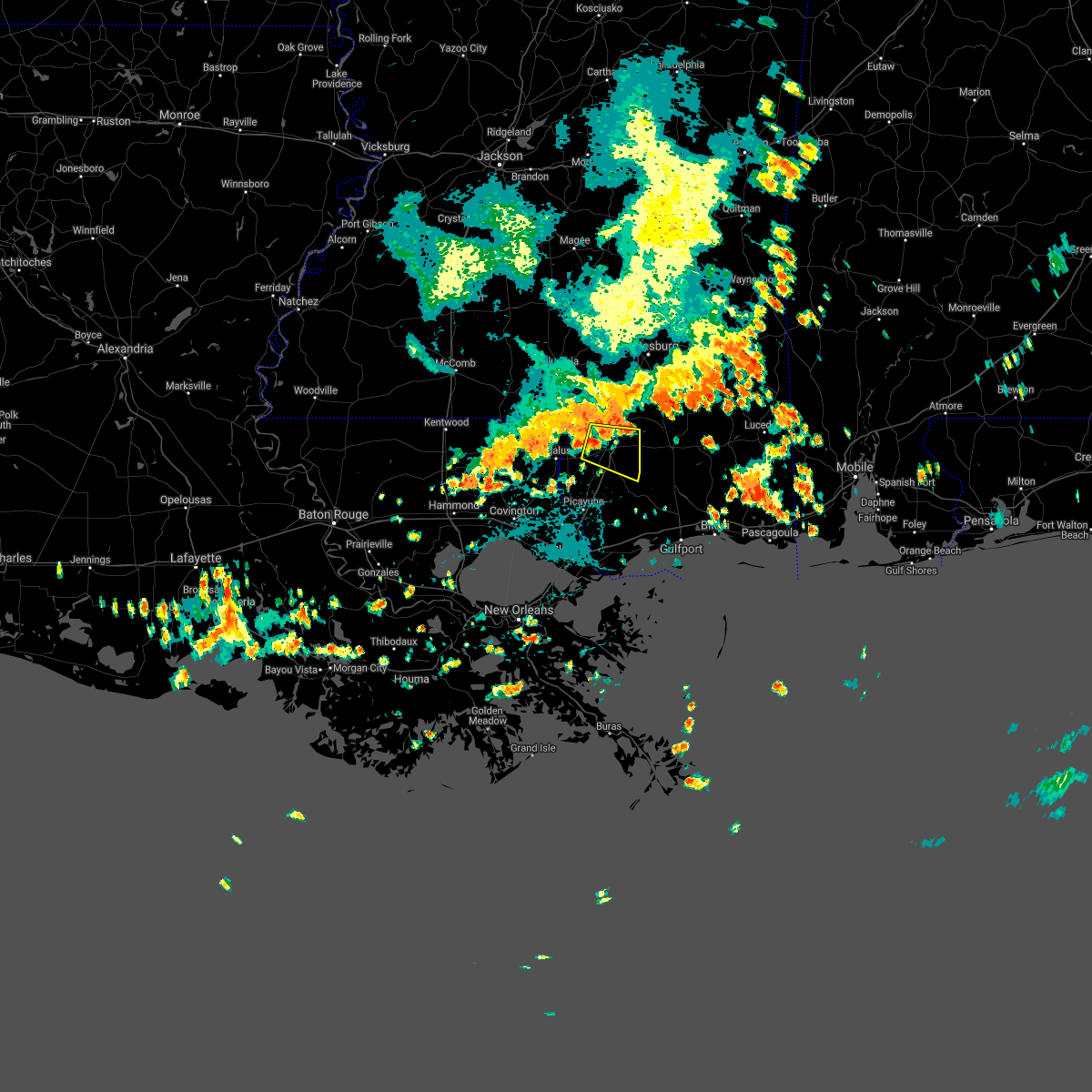 At 300 pm cdt, a severe thunderstorm was located just northwest of poplarville, moving east at 20 mph (radar indicated). Hazards include 60 mph wind gusts. Expect damage to roofs, siding, and trees. This severe thunderstorm will be near, poplarville around 310 pm cdt. At 300 pm cdt, a severe thunderstorm was located just northwest of poplarville, moving east at 20 mph (radar indicated). Hazards include 60 mph wind gusts. Expect damage to roofs, siding, and trees. This severe thunderstorm will be near, poplarville around 310 pm cdt.
|
| 7/15/2020 5:22 PM CDT |
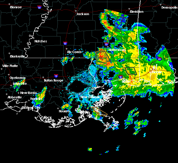 The severe thunderstorm warning for northeastern pearl river county will expire at 530 pm cdt, the storm which prompted the warning has weakened below severe limits, and no longer poses an immediate threat to life or property. therefore, the warning will be allowed to expire. however gusty winds and heavy rain are still possible with this thunderstorm. The severe thunderstorm warning for northeastern pearl river county will expire at 530 pm cdt, the storm which prompted the warning has weakened below severe limits, and no longer poses an immediate threat to life or property. therefore, the warning will be allowed to expire. however gusty winds and heavy rain are still possible with this thunderstorm.
|
| 7/15/2020 4:57 PM CDT |
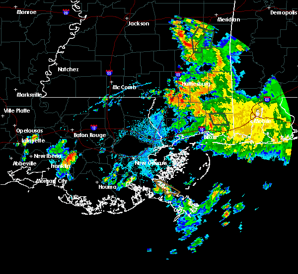 At 457 pm cdt, a severe thunderstorm was located over lumberton, or 10 miles northeast of poplarville, moving southwest at 10 mph (radar indicated). Hazards include 60 mph wind gusts. expect damage to roofs, siding, and trees At 457 pm cdt, a severe thunderstorm was located over lumberton, or 10 miles northeast of poplarville, moving southwest at 10 mph (radar indicated). Hazards include 60 mph wind gusts. expect damage to roofs, siding, and trees
|
| 7/8/2020 3:43 PM CDT |
 At 343 pm cdt, severe thunderstorms were located along a line extending from near rock hill to 8 miles east of varnado, moving southeast at 25 mph (radar indicated). Hazards include 60 mph wind gusts and penny size hail. expect damage to roofs, siding, and trees At 343 pm cdt, severe thunderstorms were located along a line extending from near rock hill to 8 miles east of varnado, moving southeast at 25 mph (radar indicated). Hazards include 60 mph wind gusts and penny size hail. expect damage to roofs, siding, and trees
|
| 7/8/2020 3:43 PM CDT |
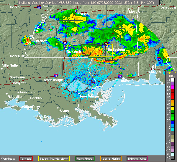 At 343 pm cdt, severe thunderstorms were located along a line extending from near rock hill to 8 miles east of varnado, moving southeast at 25 mph (radar indicated). Hazards include 60 mph wind gusts and penny size hail. expect damage to roofs, siding, and trees At 343 pm cdt, severe thunderstorms were located along a line extending from near rock hill to 8 miles east of varnado, moving southeast at 25 mph (radar indicated). Hazards include 60 mph wind gusts and penny size hail. expect damage to roofs, siding, and trees
|
| 7/4/2020 4:07 PM CDT |
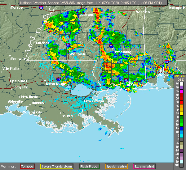 At 407 pm cdt, a severe thunderstorm was located over poplarville, and is nearly stationary (radar indicated). Hazards include 60 mph wind gusts. Expect damage to roofs, siding, and trees. Locations impacted include, poplarville. At 407 pm cdt, a severe thunderstorm was located over poplarville, and is nearly stationary (radar indicated). Hazards include 60 mph wind gusts. Expect damage to roofs, siding, and trees. Locations impacted include, poplarville.
|
| 7/4/2020 3:51 PM CDT |
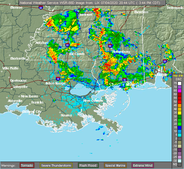 At 351 pm cdt, a severe thunderstorm was located near poplarville, and is nearly stationary (radar indicated). Hazards include 60 mph wind gusts. expect damage to roofs, siding, and trees At 351 pm cdt, a severe thunderstorm was located near poplarville, and is nearly stationary (radar indicated). Hazards include 60 mph wind gusts. expect damage to roofs, siding, and trees
|
| 6/24/2020 8:22 AM CDT |
 At 822 am cdt, a severe thunderstorm was located near varnado, or 8 miles south of sandy hook, moving east at 25 mph (radar indicated). Hazards include 60 mph wind gusts. Expect damage to roofs, siding, and trees. Locations impacted include, bogalusa, poplarville, varnado and angie. At 822 am cdt, a severe thunderstorm was located near varnado, or 8 miles south of sandy hook, moving east at 25 mph (radar indicated). Hazards include 60 mph wind gusts. Expect damage to roofs, siding, and trees. Locations impacted include, bogalusa, poplarville, varnado and angie.
|
| 6/24/2020 8:06 AM CDT |
 At 806 am cdt, a severe thunderstorm was located over varnado, or near bogalusa, moving east at 25 mph (radar indicated). Hazards include 60 mph wind gusts. expect damage to roofs, siding, and trees At 806 am cdt, a severe thunderstorm was located over varnado, or near bogalusa, moving east at 25 mph (radar indicated). Hazards include 60 mph wind gusts. expect damage to roofs, siding, and trees
|
| 4/23/2020 5:39 AM CDT |
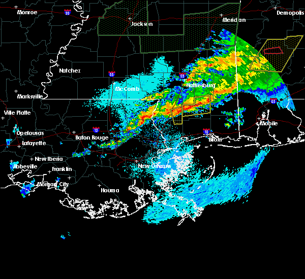 At 509 am cdt, a severe thunderstorm was located over mcneil, or 10 miles north of picayune, moving east at 30 mph (radar indicated). Hazards include ping pong ball size hail and 60 mph wind gusts. People and animals outdoors will be injured. expect hail damage to roofs, siding, windows, and vehicles. Expect wind damage to roofs, siding, and trees. At 509 am cdt, a severe thunderstorm was located over mcneil, or 10 miles north of picayune, moving east at 30 mph (radar indicated). Hazards include ping pong ball size hail and 60 mph wind gusts. People and animals outdoors will be injured. expect hail damage to roofs, siding, windows, and vehicles. Expect wind damage to roofs, siding, and trees.
|
| 4/23/2020 5:10 AM CDT |
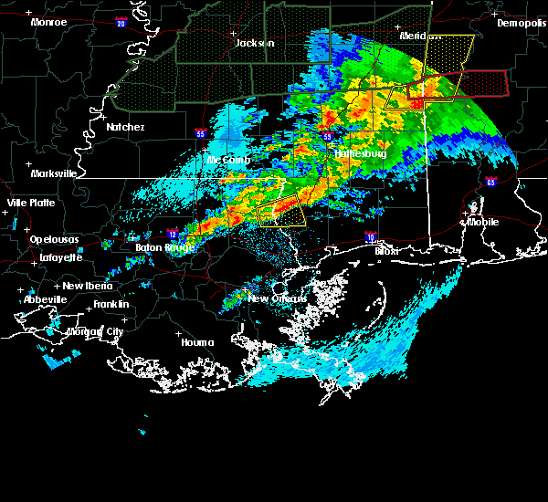 At 509 am cdt, a severe thunderstorm was located over mcneil, or 10 miles north of picayune, moving east at 30 mph (radar indicated). Hazards include ping pong ball size hail and 60 mph wind gusts. People and animals outdoors will be injured. expect hail damage to roofs, siding, windows, and vehicles. Expect wind damage to roofs, siding, and trees. At 509 am cdt, a severe thunderstorm was located over mcneil, or 10 miles north of picayune, moving east at 30 mph (radar indicated). Hazards include ping pong ball size hail and 60 mph wind gusts. People and animals outdoors will be injured. expect hail damage to roofs, siding, windows, and vehicles. Expect wind damage to roofs, siding, and trees.
|
| 7/13/2019 9:39 PM CDT |
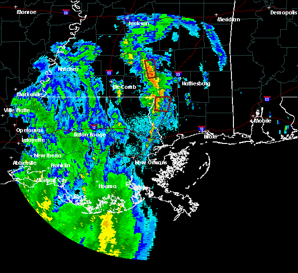 The tornado warning for north central pearl river county will expire at 945 pm cdt, the storm which prompted the warning has moved out of the area. therefore, the warning will be allowed to expire. The tornado warning for north central pearl river county will expire at 945 pm cdt, the storm which prompted the warning has moved out of the area. therefore, the warning will be allowed to expire.
|
| 7/13/2019 9:27 PM CDT |
 At 927 pm cdt, a severe thunderstorm capable of producing a tornado was located 7 miles northwest of poplarville, moving north at 40 mph (radar indicated rotation). Hazards include tornado. Flying debris will be dangerous to those caught without shelter. mobile homes will be damaged or destroyed. damage to roofs, windows, and vehicles will occur. tree damage is likely. Locations impacted include, poplarville. At 927 pm cdt, a severe thunderstorm capable of producing a tornado was located 7 miles northwest of poplarville, moving north at 40 mph (radar indicated rotation). Hazards include tornado. Flying debris will be dangerous to those caught without shelter. mobile homes will be damaged or destroyed. damage to roofs, windows, and vehicles will occur. tree damage is likely. Locations impacted include, poplarville.
|
| 7/13/2019 9:20 PM CDT |
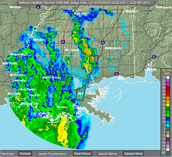 At 920 pm cdt, a severe thunderstorm capable of producing a tornado was located near poplarville, moving north at 40 mph (radar indicated rotation). Hazards include tornado. Flying debris will be dangerous to those caught without shelter. mobile homes will be damaged or destroyed. damage to roofs, windows, and vehicles will occur. tree damage is likely. This tornadic thunderstorm will remain over mainly rural areas of north central pearl river county. At 920 pm cdt, a severe thunderstorm capable of producing a tornado was located near poplarville, moving north at 40 mph (radar indicated rotation). Hazards include tornado. Flying debris will be dangerous to those caught without shelter. mobile homes will be damaged or destroyed. damage to roofs, windows, and vehicles will occur. tree damage is likely. This tornadic thunderstorm will remain over mainly rural areas of north central pearl river county.
|
| 6/27/2019 3:50 PM CDT |
 At 350 pm cdt, a severe thunderstorm was located near varnado, or 10 miles southeast of sandy hook, moving southeast at 15 mph (radar indicated). Hazards include 60 mph wind gusts and quarter size hail. Hail damage to vehicles is expected. Expect wind damage to roofs, siding, and trees. At 350 pm cdt, a severe thunderstorm was located near varnado, or 10 miles southeast of sandy hook, moving southeast at 15 mph (radar indicated). Hazards include 60 mph wind gusts and quarter size hail. Hail damage to vehicles is expected. Expect wind damage to roofs, siding, and trees.
|
| 5/11/2019 6:23 AM CDT |
 The severe thunderstorm warning for northeastern pearl river county will expire at 630 am cdt, the storm which prompted the warning has weakened below severe limits, and has exited the warned area. therefore, the warning will be allowed to expire. The severe thunderstorm warning for northeastern pearl river county will expire at 630 am cdt, the storm which prompted the warning has weakened below severe limits, and has exited the warned area. therefore, the warning will be allowed to expire.
|
| 5/11/2019 6:00 AM CDT |
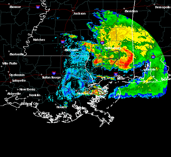 At 600 am cdt, a severe thunderstorm was located near poplarville, moving east at 30 mph (radar indicated). Hazards include 60 mph wind gusts and half dollar size hail. Hail damage to vehicles is expected. Expect wind damage to roofs, siding, and trees. At 600 am cdt, a severe thunderstorm was located near poplarville, moving east at 30 mph (radar indicated). Hazards include 60 mph wind gusts and half dollar size hail. Hail damage to vehicles is expected. Expect wind damage to roofs, siding, and trees.
|
| 5/4/2019 12:12 PM CDT |
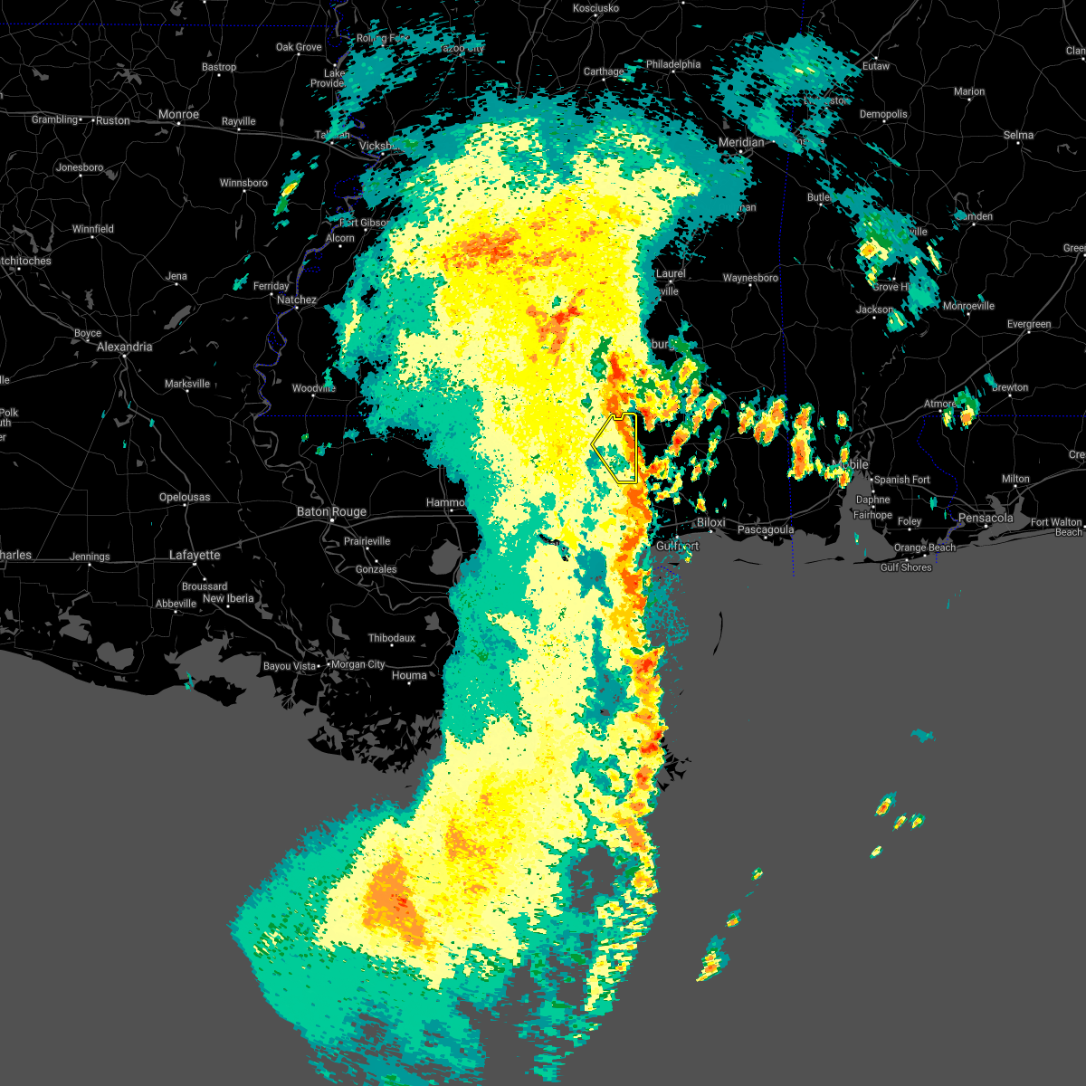 At 1200 pm cdt, a severe thunderstorm was located 11 miles west of perkinston, or 13 miles southeast of poplarville, moving northeast at 40 mph (radar indicated). Hazards include 60 mph wind gusts. Expect damage to roofs, siding, and trees. Locations impacted include, poplarville. At 1200 pm cdt, a severe thunderstorm was located 11 miles west of perkinston, or 13 miles southeast of poplarville, moving northeast at 40 mph (radar indicated). Hazards include 60 mph wind gusts. Expect damage to roofs, siding, and trees. Locations impacted include, poplarville.
|
| 5/4/2019 12:01 PM CDT |
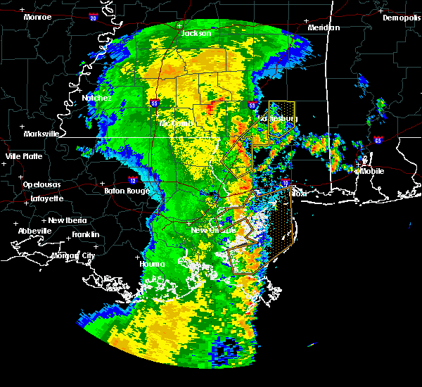 A severe thunderstorm warning remains in effect until 1215 pm cdt for northeastern pearl river county. at 1200 pm cdt, a severe thunderstorm was located 11 miles west of perkinston, or 13 miles southeast of poplarville, moving northeast at 40 mph. hazard. 60 mph wind gusts. A severe thunderstorm warning remains in effect until 1215 pm cdt for northeastern pearl river county. at 1200 pm cdt, a severe thunderstorm was located 11 miles west of perkinston, or 13 miles southeast of poplarville, moving northeast at 40 mph. hazard. 60 mph wind gusts.
|
| 5/4/2019 11:42 AM CDT |
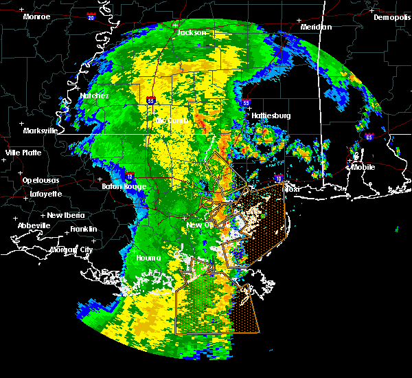 The national weather service in new orleans has issued a * severe thunderstorm warning for. northeastern hancock county in southern mississippi. eastern pearl river county in southern mississippi. until 1215 pm cdt. At 1142 am cdt, a severe thunderstorm was located 8 miles east of. The national weather service in new orleans has issued a * severe thunderstorm warning for. northeastern hancock county in southern mississippi. eastern pearl river county in southern mississippi. until 1215 pm cdt. At 1142 am cdt, a severe thunderstorm was located 8 miles east of.
|
| 3/3/2019 12:49 PM CST |
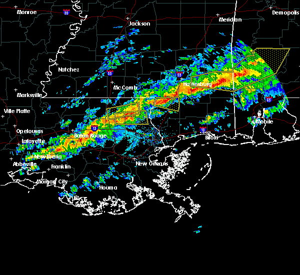 At 1249 pm cst, a severe thunderstorm was located 7 miles southwest of lumberton, or 7 miles north of poplarville, moving east at 45 mph (radar indicated). Hazards include 60 mph wind gusts. Expect damage to roofs, siding, and trees. locations impacted include, poplarville. A tornado watch remains in effect until 600 pm cst for southeastern louisiana, and southern mississippi. At 1249 pm cst, a severe thunderstorm was located 7 miles southwest of lumberton, or 7 miles north of poplarville, moving east at 45 mph (radar indicated). Hazards include 60 mph wind gusts. Expect damage to roofs, siding, and trees. locations impacted include, poplarville. A tornado watch remains in effect until 600 pm cst for southeastern louisiana, and southern mississippi.
|
| 3/3/2019 12:43 PM CST |
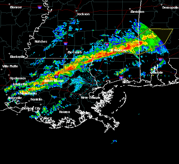 At 1242 pm cst, a severe thunderstorm was located 8 miles southeast of sandy hook, moving east at 40 mph (radar indicated). Hazards include 60 mph wind gusts. expect damage to roofs, siding, and trees At 1242 pm cst, a severe thunderstorm was located 8 miles southeast of sandy hook, moving east at 40 mph (radar indicated). Hazards include 60 mph wind gusts. expect damage to roofs, siding, and trees
|
| 2/12/2019 5:52 AM CST |
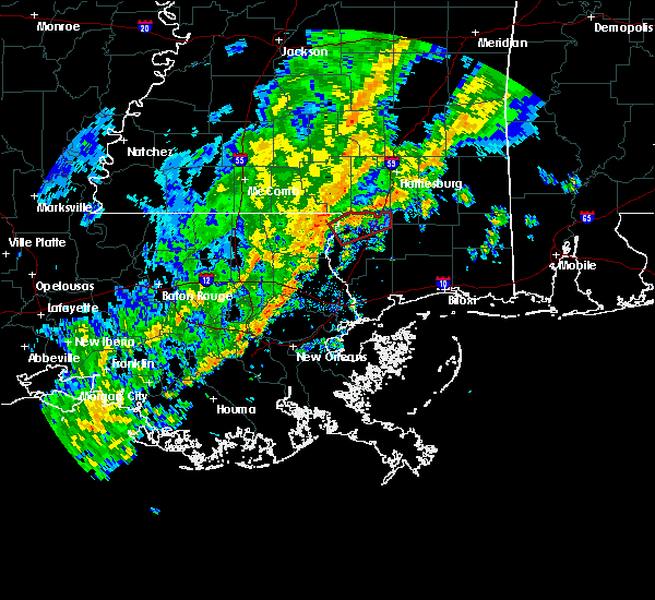 The tornado warning for eastern washington parish in southeastern louisiana and northern pearl river counties will expire at 600 am cst, the tornadic thunderstorm which prompted the warning will move out of the warned area shortly before 6 am. therefore, the warning will be allowed to expire. The tornado warning for eastern washington parish in southeastern louisiana and northern pearl river counties will expire at 600 am cst, the tornadic thunderstorm which prompted the warning will move out of the warned area shortly before 6 am. therefore, the warning will be allowed to expire.
|
| 2/12/2019 5:23 AM CST |
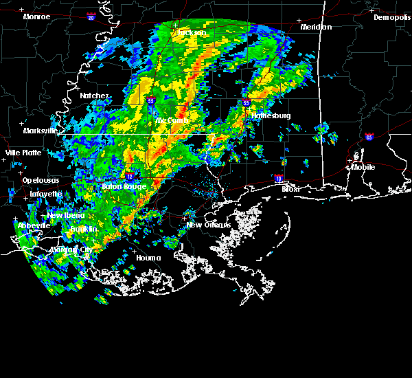 At 522 am cst, a severe thunderstorm capable of producing a tornado was located 7 miles east of varnado, or 10 miles west of poplarville, moving northeast at 40 mph (radar indicated rotation). Hazards include tornado. Flying debris will be dangerous to those caught without shelter. mobile homes will be damaged or destroyed. damage to roofs, windows, and vehicles will occur. tree damage is likely. This dangerous storm will be near, poplarville around 535 am cst. At 522 am cst, a severe thunderstorm capable of producing a tornado was located 7 miles east of varnado, or 10 miles west of poplarville, moving northeast at 40 mph (radar indicated rotation). Hazards include tornado. Flying debris will be dangerous to those caught without shelter. mobile homes will be damaged or destroyed. damage to roofs, windows, and vehicles will occur. tree damage is likely. This dangerous storm will be near, poplarville around 535 am cst.
|
| 11/1/2018 4:53 AM CDT |
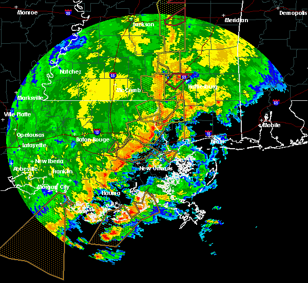 The national weather service in new orleans has issued a * severe thunderstorm warning for. pearl river county in southern mississippi. until 530 am cdt. At 452 am cdt, severe thunderstorms were located along a line extending from 7 miles southeast of sandy hook to 6 miles west of. The national weather service in new orleans has issued a * severe thunderstorm warning for. pearl river county in southern mississippi. until 530 am cdt. At 452 am cdt, severe thunderstorms were located along a line extending from 7 miles southeast of sandy hook to 6 miles west of.
|
| 11/1/2018 4:47 AM CDT |
 At 446 am cdt, severe thunderstorms were located along a line extending from near varnado to near crossroads to 6 miles southeast of bogalusa, moving east at 40 mph (radar indicated). Hazards include 60 mph wind gusts. Expect damage to roofs, siding, and trees. locations impacted include, bogalusa, poplarville, varnado, crossroads and angie. A tornado watch remains in effect until 700 am cdt for southeastern louisiana, and southern mississippi. At 446 am cdt, severe thunderstorms were located along a line extending from near varnado to near crossroads to 6 miles southeast of bogalusa, moving east at 40 mph (radar indicated). Hazards include 60 mph wind gusts. Expect damage to roofs, siding, and trees. locations impacted include, bogalusa, poplarville, varnado, crossroads and angie. A tornado watch remains in effect until 700 am cdt for southeastern louisiana, and southern mississippi.
|
| 11/1/2018 4:22 AM CDT |
 At 422 am cdt, severe thunderstorms were located along a line extending from 7 miles east of franklinton to 6 miles west of bogalusa to near enon, moving east at 50 mph (radar indicated). Hazards include 60 mph wind gusts. expect damage to roofs, siding, and trees At 422 am cdt, severe thunderstorms were located along a line extending from 7 miles east of franklinton to 6 miles west of bogalusa to near enon, moving east at 50 mph (radar indicated). Hazards include 60 mph wind gusts. expect damage to roofs, siding, and trees
|
| 11/1/2018 4:22 AM CDT |
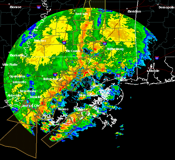 At 422 am cdt, severe thunderstorms were located along a line extending from 7 miles east of franklinton to 6 miles west of bogalusa to near enon, moving east at 50 mph (radar indicated). Hazards include 60 mph wind gusts. expect damage to roofs, siding, and trees At 422 am cdt, severe thunderstorms were located along a line extending from 7 miles east of franklinton to 6 miles west of bogalusa to near enon, moving east at 50 mph (radar indicated). Hazards include 60 mph wind gusts. expect damage to roofs, siding, and trees
|
| 4/14/2018 11:37 AM CDT |
 At 1136 am cdt, severe thunderstorms were located along a line extending from 8 miles east of varnado to near mcneil to near stennis space center, moving northeast at 45 mph (law enforcement). Hazards include 60 mph wind gusts. expect damage to roofs, siding, and trees At 1136 am cdt, severe thunderstorms were located along a line extending from 8 miles east of varnado to near mcneil to near stennis space center, moving northeast at 45 mph (law enforcement). Hazards include 60 mph wind gusts. expect damage to roofs, siding, and trees
|
| 4/14/2018 11:37 AM CDT |
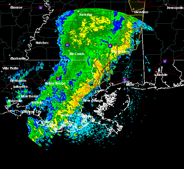 At 1136 am cdt, severe thunderstorms were located along a line extending from 8 miles east of varnado to near mcneil to near stennis space center, moving northeast at 45 mph (law enforcement). Hazards include 60 mph wind gusts. expect damage to roofs, siding, and trees At 1136 am cdt, severe thunderstorms were located along a line extending from 8 miles east of varnado to near mcneil to near stennis space center, moving northeast at 45 mph (law enforcement). Hazards include 60 mph wind gusts. expect damage to roofs, siding, and trees
|
| 10/22/2017 12:04 PM CDT |
 At 1203 pm cdt, severe thunderstorms were located along a line extending from near pinebur to 6 miles west of east new orleans to 8 miles southwest of avondale, moving east at 45 mph (radar indicated). Hazards include 60 mph wind gusts. Expect damage to roofs, siding, and trees. Locations impacted include, new orleans, slidell, bogalusa, picayune, covington, poplarville, east new orleans, belle chasse, gretna, pearl river, abita springs, lumberton, varnado, sun, lake catherine, lacombe, crossroads, bush, mcneil and kiln. At 1203 pm cdt, severe thunderstorms were located along a line extending from near pinebur to 6 miles west of east new orleans to 8 miles southwest of avondale, moving east at 45 mph (radar indicated). Hazards include 60 mph wind gusts. Expect damage to roofs, siding, and trees. Locations impacted include, new orleans, slidell, bogalusa, picayune, covington, poplarville, east new orleans, belle chasse, gretna, pearl river, abita springs, lumberton, varnado, sun, lake catherine, lacombe, crossroads, bush, mcneil and kiln.
|
| 10/22/2017 11:57 AM CDT |
 At 1157 am cdt, severe thunderstorms were located along a line extending from near sandy hook to 8 miles southeast of madisonville, moving east at 20 mph (radar indicated). Hazards include 60 mph wind gusts. expect damage to roofs, siding, and trees At 1157 am cdt, severe thunderstorms were located along a line extending from near sandy hook to 8 miles southeast of madisonville, moving east at 20 mph (radar indicated). Hazards include 60 mph wind gusts. expect damage to roofs, siding, and trees
|
| 8/30/2017 10:15 AM CDT | Down trees and roof damage to out buildings in the vicinity of silver run rd and go go rd... possible tornado in pearl river county MS, 8 miles NW of Poplarville, MS |
| 8/19/2017 2:38 PM CDT |
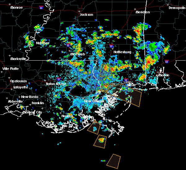 At 238 pm cdt, a severe thunderstorm was located near poplarville, moving south at 20 mph (radar indicated). Hazards include 60 mph wind gusts and nickel size hail. expect damage to roofs, siding, and trees At 238 pm cdt, a severe thunderstorm was located near poplarville, moving south at 20 mph (radar indicated). Hazards include 60 mph wind gusts and nickel size hail. expect damage to roofs, siding, and trees
|
| 5/12/2017 10:34 AM CDT |
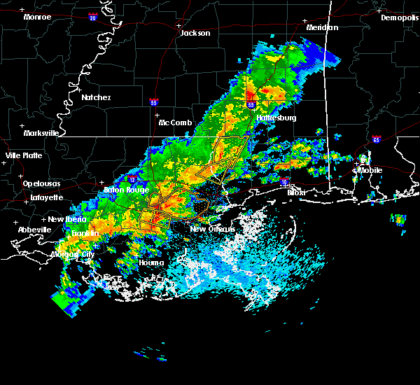 At 1034 am cdt, a severe thunderstorm was located near crossroads, or 9 miles east of bogalusa, moving east at 25 mph (radar indicated). Hazards include 60 mph wind gusts. Expect damage to roofs, siding, and trees. Locations impacted include, poplarville, crossroads and mcneil. At 1034 am cdt, a severe thunderstorm was located near crossroads, or 9 miles east of bogalusa, moving east at 25 mph (radar indicated). Hazards include 60 mph wind gusts. Expect damage to roofs, siding, and trees. Locations impacted include, poplarville, crossroads and mcneil.
|
| 5/12/2017 10:09 AM CDT |
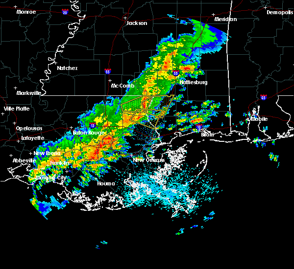 At 1008 am cdt, a severe thunderstorm was located over bogalusa, moving east at 25 mph (radar indicated). Hazards include 60 mph wind gusts. expect damage to roofs, siding, and trees At 1008 am cdt, a severe thunderstorm was located over bogalusa, moving east at 25 mph (radar indicated). Hazards include 60 mph wind gusts. expect damage to roofs, siding, and trees
|
| 5/12/2017 10:09 AM CDT |
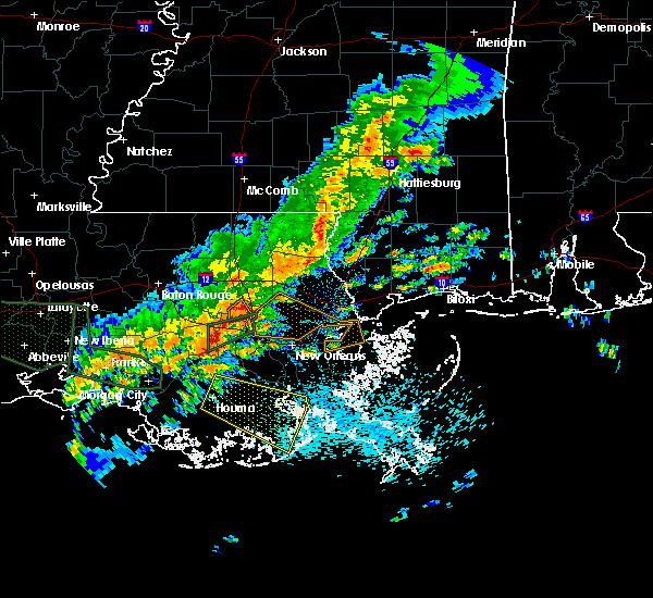 At 1008 am cdt, a severe thunderstorm was located over bogalusa, moving east at 25 mph (radar indicated). Hazards include 60 mph wind gusts. expect damage to roofs, siding, and trees At 1008 am cdt, a severe thunderstorm was located over bogalusa, moving east at 25 mph (radar indicated). Hazards include 60 mph wind gusts. expect damage to roofs, siding, and trees
|
| 4/3/2017 4:25 AM CDT |
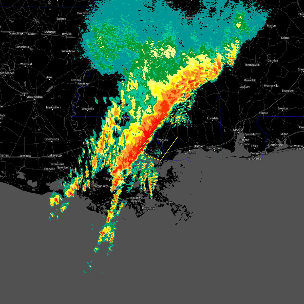 At 424 am cdt, severe thunderstorms were located along a line extending from 7 miles south of baxterville to near madisonville, moving east at 30 mph (radar indicated). Hazards include 60 mph wind gusts. expect damage to roofs, siding, and trees At 424 am cdt, severe thunderstorms were located along a line extending from 7 miles south of baxterville to near madisonville, moving east at 30 mph (radar indicated). Hazards include 60 mph wind gusts. expect damage to roofs, siding, and trees
|
| 4/3/2017 4:02 AM CDT |
 At 401 am cdt, severe thunderstorms were located along a line extending from near sandy hook to near covington, moving southeast at 30 mph (radar indicated). Hazards include 60 mph wind gusts. Expect damage to roofs, siding, and trees. locations impacted include, slidell, bogalusa, picayune, covington, poplarville, pearl river, abita springs, varnado, madisonville, sun, lacombe, crossroads, bush, mcneil, angie and slidell airport. A tornado watch remains in effect until 900 am cdt for southeastern louisiana, and southern mississippi. At 401 am cdt, severe thunderstorms were located along a line extending from near sandy hook to near covington, moving southeast at 30 mph (radar indicated). Hazards include 60 mph wind gusts. Expect damage to roofs, siding, and trees. locations impacted include, slidell, bogalusa, picayune, covington, poplarville, pearl river, abita springs, varnado, madisonville, sun, lacombe, crossroads, bush, mcneil, angie and slidell airport. A tornado watch remains in effect until 900 am cdt for southeastern louisiana, and southern mississippi.
|
| 4/3/2017 4:02 AM CDT |
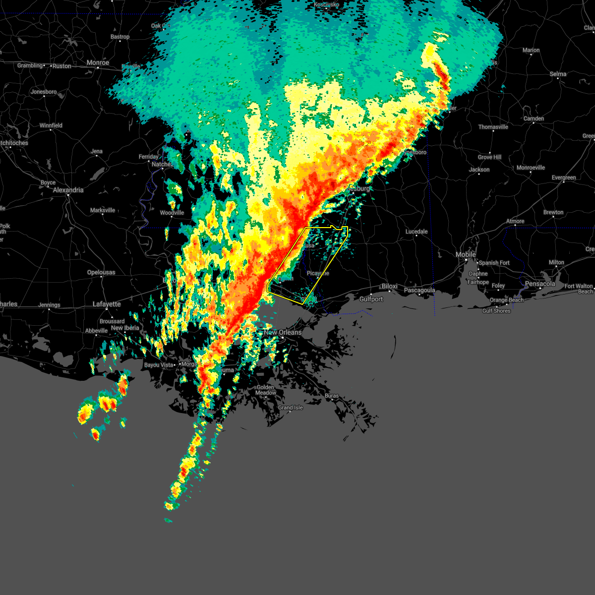 At 401 am cdt, severe thunderstorms were located along a line extending from near sandy hook to near covington, moving southeast at 30 mph (radar indicated). Hazards include 60 mph wind gusts. Expect damage to roofs, siding, and trees. locations impacted include, slidell, bogalusa, picayune, covington, poplarville, pearl river, abita springs, varnado, madisonville, sun, lacombe, crossroads, bush, mcneil, angie and slidell airport. A tornado watch remains in effect until 900 am cdt for southeastern louisiana, and southern mississippi. At 401 am cdt, severe thunderstorms were located along a line extending from near sandy hook to near covington, moving southeast at 30 mph (radar indicated). Hazards include 60 mph wind gusts. Expect damage to roofs, siding, and trees. locations impacted include, slidell, bogalusa, picayune, covington, poplarville, pearl river, abita springs, varnado, madisonville, sun, lacombe, crossroads, bush, mcneil, angie and slidell airport. A tornado watch remains in effect until 900 am cdt for southeastern louisiana, and southern mississippi.
|
| 4/3/2017 3:40 AM CDT |
 At 339 am cdt, severe thunderstorms were located along a line extending from near pickwick to near robert, moving east at 30 mph (radar indicated). Hazards include 60 mph wind gusts. expect damage to roofs, siding, and trees At 339 am cdt, severe thunderstorms were located along a line extending from near pickwick to near robert, moving east at 30 mph (radar indicated). Hazards include 60 mph wind gusts. expect damage to roofs, siding, and trees
|
| 1/2/2017 3:22 PM CST |
 The severe thunderstorm warning for northeastern orleans, eastern washington, st. tammany, southeastern tangipahoa and northeastern st. john the baptist parishes, southeastern walthall, pearl river and central hancock counties will expire at 330 pm cst, the storms which prompted the warning have weakened below severe limits, and have exited the warned area. therefore the warning will be allowed to expire. a tornado watch remains in effect until 800 pm cst for southeastern louisiana, and southern and southeastern mississippi. The severe thunderstorm warning for northeastern orleans, eastern washington, st. tammany, southeastern tangipahoa and northeastern st. john the baptist parishes, southeastern walthall, pearl river and central hancock counties will expire at 330 pm cst, the storms which prompted the warning have weakened below severe limits, and have exited the warned area. therefore the warning will be allowed to expire. a tornado watch remains in effect until 800 pm cst for southeastern louisiana, and southern and southeastern mississippi.
|
| 1/2/2017 2:59 PM CST | Several trees down across parts of interstate 59. tree damage about a quarter mile along interstate 59 reported by storm chase in pearl river county MS, 0.4 miles NNW of Poplarville, MS |
| 1/2/2017 2:35 PM CST |
 At 235 pm cst, severe thunderstorms were located along a line extending from sandy hook to 6 miles west of bush to 14 miles southwest of madisonville, moving east at 30 mph (radar indicated). Hazards include 60 mph wind gusts. expect damage to roofs, siding, and trees At 235 pm cst, severe thunderstorms were located along a line extending from sandy hook to 6 miles west of bush to 14 miles southwest of madisonville, moving east at 30 mph (radar indicated). Hazards include 60 mph wind gusts. expect damage to roofs, siding, and trees
|
| 1/2/2017 2:35 PM CST |
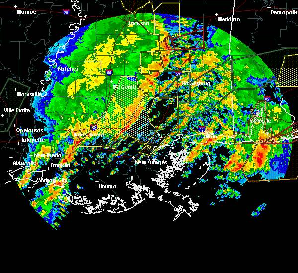 At 235 pm cst, severe thunderstorms were located along a line extending from sandy hook to 6 miles west of bush to 14 miles southwest of madisonville, moving east at 30 mph (radar indicated). Hazards include 60 mph wind gusts. expect damage to roofs, siding, and trees At 235 pm cst, severe thunderstorms were located along a line extending from sandy hook to 6 miles west of bush to 14 miles southwest of madisonville, moving east at 30 mph (radar indicated). Hazards include 60 mph wind gusts. expect damage to roofs, siding, and trees
|
| 1/2/2017 12:56 PM CST |
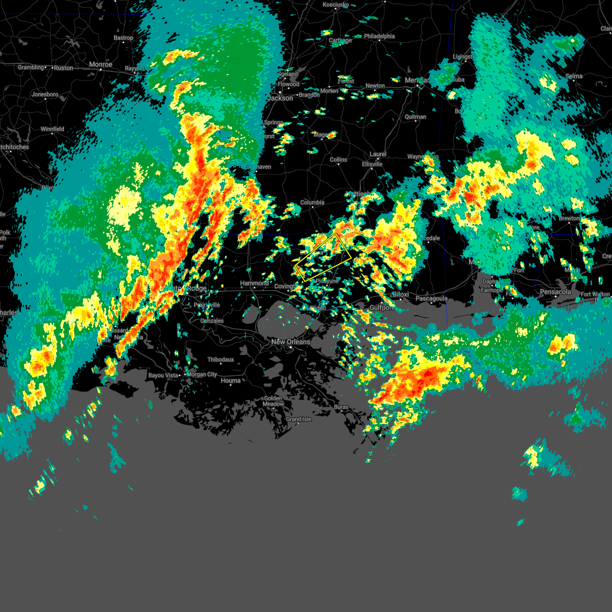 The severe thunderstorm warning for southeastern washington, north central st. tammany parishes in southeastern louisiana and central pearl river counties will expire at 100 pm cst, the storm which prompted the warning has moved out of the area. therefore the warning will be allowed to expire. a tornado watch remains in effect until 800 pm cst for southeastern louisiana, and southern mississippi. The severe thunderstorm warning for southeastern washington, north central st. tammany parishes in southeastern louisiana and central pearl river counties will expire at 100 pm cst, the storm which prompted the warning has moved out of the area. therefore the warning will be allowed to expire. a tornado watch remains in effect until 800 pm cst for southeastern louisiana, and southern mississippi.
|
| 1/2/2017 12:14 PM CST |
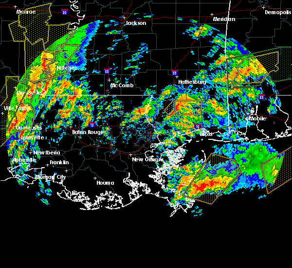 At 1213 pm cst, a severe thunderstorm was located over sun, or 7 miles south of bogalusa, moving northeast at 30 mph (radar indicated). Hazards include 60 mph wind gusts. expect damage to roofs, siding, and trees At 1213 pm cst, a severe thunderstorm was located over sun, or 7 miles south of bogalusa, moving northeast at 30 mph (radar indicated). Hazards include 60 mph wind gusts. expect damage to roofs, siding, and trees
|
| 1/2/2017 12:14 PM CST |
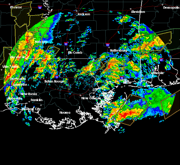 At 1213 pm cst, a severe thunderstorm was located over sun, or 7 miles south of bogalusa, moving northeast at 30 mph (radar indicated). Hazards include 60 mph wind gusts. expect damage to roofs, siding, and trees At 1213 pm cst, a severe thunderstorm was located over sun, or 7 miles south of bogalusa, moving northeast at 30 mph (radar indicated). Hazards include 60 mph wind gusts. expect damage to roofs, siding, and trees
|
| 5/19/2016 11:18 PM CDT | The national weather service in new orleans has issued a * severe thunderstorm warning for. southeastern washington parish in southeastern louisiana. pearl river county in southern mississippi. hancock county in southern mississippi. Until midnight cdt. |
| 5/19/2016 11:18 PM CDT | The national weather service in new orleans has issued a * severe thunderstorm warning for. southeastern washington parish in southeastern louisiana. pearl river county in southern mississippi. hancock county in southern mississippi. Until midnight cdt. |
| 4/30/2016 4:00 PM CDT |
 At 400 pm cdt, severe thunderstorms were located along a line extending from near baxterville to lacombe, moving east at 40 mph (radar indicated). Hazards include 60 mph wind gusts. Expect damage to roofs. siding. and trees. locations impacted include, slidell, bogalusa, picayune, bay st. Louis, waveland, poplarville, diamondhead, pearl river, abita springs, varnado, sun, crossroads, bush, stennis space center, lacombe, kiln, pearlington, mcneil, shoreline park and angie. At 400 pm cdt, severe thunderstorms were located along a line extending from near baxterville to lacombe, moving east at 40 mph (radar indicated). Hazards include 60 mph wind gusts. Expect damage to roofs. siding. and trees. locations impacted include, slidell, bogalusa, picayune, bay st. Louis, waveland, poplarville, diamondhead, pearl river, abita springs, varnado, sun, crossroads, bush, stennis space center, lacombe, kiln, pearlington, mcneil, shoreline park and angie.
|
| 4/30/2016 3:37 PM CDT |
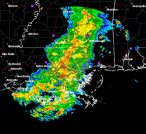 At 337 pm cdt, severe thunderstorms were located along a line extending from near sandy hook to near madisonville, moving east at 30 mph (radar indicated). Hazards include 60 mph wind gusts. Expect damage to roofs. siding. and trees. locations impacted include, slidell, bogalusa, picayune, bay st. Louis, covington, waveland, poplarville, diamondhead, pearl river, abita springs, varnado, madisonville, folsom, sun, crossroads, bush, enon, stennis space center, lacombe and kiln. At 337 pm cdt, severe thunderstorms were located along a line extending from near sandy hook to near madisonville, moving east at 30 mph (radar indicated). Hazards include 60 mph wind gusts. Expect damage to roofs. siding. and trees. locations impacted include, slidell, bogalusa, picayune, bay st. Louis, covington, waveland, poplarville, diamondhead, pearl river, abita springs, varnado, madisonville, folsom, sun, crossroads, bush, enon, stennis space center, lacombe and kiln.
|
| 4/30/2016 3:13 PM CDT |
 At 313 pm cdt, severe thunderstorms were located along a line extending from near dexter to 12 miles southeast of ponchatoula, moving east at 30 mph (radar indicated). Hazards include 60 mph wind gusts. Expect damage to roofs. siding. And trees. At 313 pm cdt, severe thunderstorms were located along a line extending from near dexter to 12 miles southeast of ponchatoula, moving east at 30 mph (radar indicated). Hazards include 60 mph wind gusts. Expect damage to roofs. siding. And trees.
|
| 4/30/2016 3:13 PM CDT |
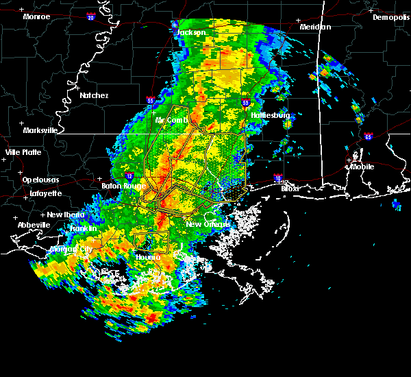 At 313 pm cdt, severe thunderstorms were located along a line extending from near dexter to 12 miles southeast of ponchatoula, moving east at 30 mph (radar indicated). Hazards include 60 mph wind gusts. Expect damage to roofs. siding. And trees. At 313 pm cdt, severe thunderstorms were located along a line extending from near dexter to 12 miles southeast of ponchatoula, moving east at 30 mph (radar indicated). Hazards include 60 mph wind gusts. Expect damage to roofs. siding. And trees.
|
| 3/29/2016 5:32 PM CDT |
 At 531 pm cdt, a severe thunderstorm was located 7 miles south of lumberton, or 8 miles northeast of poplarville, moving east at 25 mph (radar indicated). Hazards include quarter size hail. damage to vehicles is expected on interstate 55 At 531 pm cdt, a severe thunderstorm was located 7 miles south of lumberton, or 8 miles northeast of poplarville, moving east at 25 mph (radar indicated). Hazards include quarter size hail. damage to vehicles is expected on interstate 55
|
| 3/29/2016 5:23 PM CDT | Ping Pong Ball sized hail reported 5.9 miles S of Poplarville, MS, ping pong ball size hail reported along h burge road north of poplarville |
| 3/29/2016 5:13 PM CDT | Quarter sized hail reported 15.2 miles ENE of Poplarville, MS, public reported to wlox quarter sized hail in crossroads. radar estimated the time |
| 3/17/2016 6:43 PM CDT |
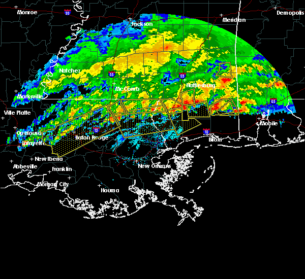 At 643 pm cdt, a severe thunderstorm was located 8 miles southeast of poplarville, moving southeast at 30 mph (radar indicated). Hazards include 60 mph wind gusts and nickel size hail. Expect damage to roofs. Siding and trees. At 643 pm cdt, a severe thunderstorm was located 8 miles southeast of poplarville, moving southeast at 30 mph (radar indicated). Hazards include 60 mph wind gusts and nickel size hail. Expect damage to roofs. Siding and trees.
|
| 3/17/2016 6:22 PM CDT |
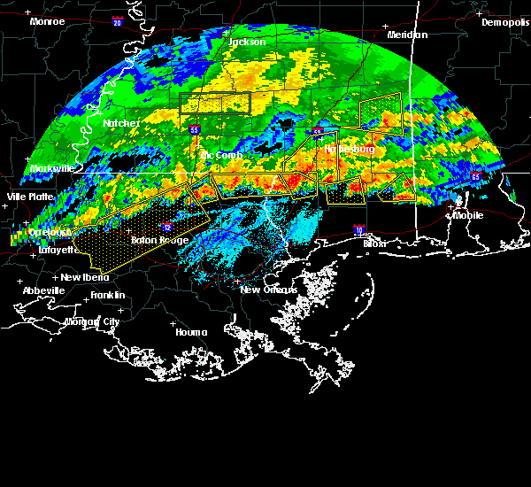 At 622 pm cdt, a severe thunderstorm was located near poplarville, moving southeast at 30 mph (radar indicated). Hazards include 60 mph wind gusts and nickel size hail. Expect damage to roofs. Siding and trees. At 622 pm cdt, a severe thunderstorm was located near poplarville, moving southeast at 30 mph (radar indicated). Hazards include 60 mph wind gusts and nickel size hail. Expect damage to roofs. Siding and trees.
|
| 3/17/2016 5:21 PM CDT |
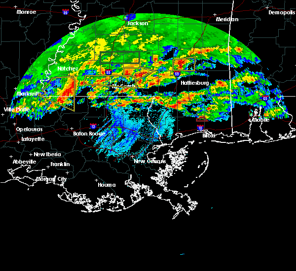 At 521 pm cdt, a severe thunderstorm capable of producing a tornado was located near poplarville, moving northeast at 25 mph (radar indicated rotation). Hazards include tornado and quarter size hail. Flying debris will be dangerous to those caught without shelter. mobile homes will be damaged or destroyed. damage to roofs, windows and vehicles will occur. tree damage is likely. This tornadic thunderstorm will remain over mainly rural areas of northeastern pearl river county. At 521 pm cdt, a severe thunderstorm capable of producing a tornado was located near poplarville, moving northeast at 25 mph (radar indicated rotation). Hazards include tornado and quarter size hail. Flying debris will be dangerous to those caught without shelter. mobile homes will be damaged or destroyed. damage to roofs, windows and vehicles will occur. tree damage is likely. This tornadic thunderstorm will remain over mainly rural areas of northeastern pearl river county.
|
| 3/3/2016 7:05 PM CST |
 At 704 pm cst, severe thunderstorms were located along a line extending from near lumberton to near varnado, moving south at 35 mph (radar indicated). Hazards include 60 mph wind gusts and quarter size hail. Hail damage to vehicles is expected. Expect wind damage to roofs, siding and trees. At 704 pm cst, severe thunderstorms were located along a line extending from near lumberton to near varnado, moving south at 35 mph (radar indicated). Hazards include 60 mph wind gusts and quarter size hail. Hail damage to vehicles is expected. Expect wind damage to roofs, siding and trees.
|
| 2/23/2016 5:13 PM CST |
 At 513 pm cst, a severe thunderstorm was located near picayune, moving east at 50 mph (radar indicated). Hazards include 60 mph wind gusts. Expect damage to roofs. Siding and trees. At 513 pm cst, a severe thunderstorm was located near picayune, moving east at 50 mph (radar indicated). Hazards include 60 mph wind gusts. Expect damage to roofs. Siding and trees.
|
| 2/23/2016 5:13 PM CST |
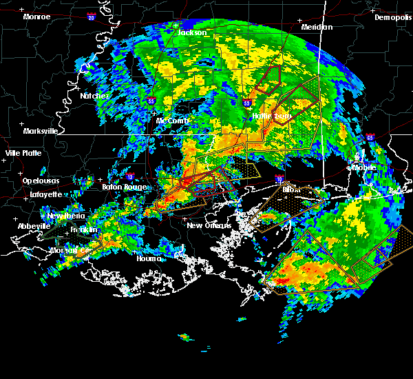 At 513 pm cst, a severe thunderstorm was located near picayune, moving east at 50 mph (radar indicated). Hazards include 60 mph wind gusts. Expect damage to roofs. Siding and trees. At 513 pm cst, a severe thunderstorm was located near picayune, moving east at 50 mph (radar indicated). Hazards include 60 mph wind gusts. Expect damage to roofs. Siding and trees.
|
| 2/23/2016 4:15 PM CST |
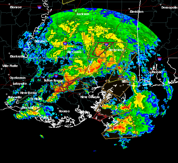 At 415 pm cst, severe thunderstorms were located along a line extending from 6 miles south of baxterville to 9 miles south of lumberton to near poplarville to 15 miles east of crossroads to mcneil, moving northeast at 50 mph (radar indicated). Hazards include 70 mph wind gusts and quarter size hail. Hail damage to vehicles is expected. expect considerable tree damage. Wind damage is also likely to mobile homes, roofs and outbuildings. At 415 pm cst, severe thunderstorms were located along a line extending from 6 miles south of baxterville to 9 miles south of lumberton to near poplarville to 15 miles east of crossroads to mcneil, moving northeast at 50 mph (radar indicated). Hazards include 70 mph wind gusts and quarter size hail. Hail damage to vehicles is expected. expect considerable tree damage. Wind damage is also likely to mobile homes, roofs and outbuildings.
|
| 2/23/2016 3:59 PM CST |
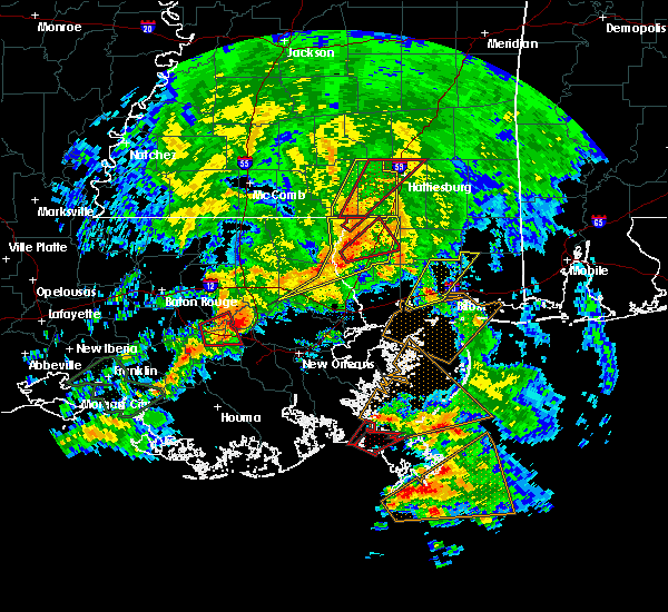 At 359 pm cst, a confirmed tornado was located near mcneil, or 9 miles southwest of poplarville, moving northeast at 40 mph (radar confirmed tornado). Hazards include damaging tornado. Flying debris will be dangerous to those caught without shelter. mobile homes will be damaged or destroyed. damage to roofs, windows and vehicles will occur. tree damage is likely. This tornado will be near, poplarville around 410 pm cst. At 359 pm cst, a confirmed tornado was located near mcneil, or 9 miles southwest of poplarville, moving northeast at 40 mph (radar confirmed tornado). Hazards include damaging tornado. Flying debris will be dangerous to those caught without shelter. mobile homes will be damaged or destroyed. damage to roofs, windows and vehicles will occur. tree damage is likely. This tornado will be near, poplarville around 410 pm cst.
|
| 2/23/2016 3:56 PM CST |
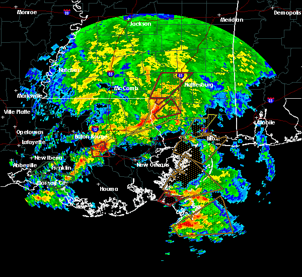 At 356 pm cst, a severe thunderstorm capable of producing a tornado was located near crossroads, or 9 miles southeast of bogalusa, moving northeast at 35 mph (radar indicated rotation). Hazards include tornado. Flying debris will be dangerous to those caught without shelter. mobile homes will be damaged or destroyed. damage to roofs, windows and vehicles will occur. tree damage is likely. This dangerous storm will be near, poplarville around 420 pm cst. At 356 pm cst, a severe thunderstorm capable of producing a tornado was located near crossroads, or 9 miles southeast of bogalusa, moving northeast at 35 mph (radar indicated rotation). Hazards include tornado. Flying debris will be dangerous to those caught without shelter. mobile homes will be damaged or destroyed. damage to roofs, windows and vehicles will occur. tree damage is likely. This dangerous storm will be near, poplarville around 420 pm cst.
|
| 2/23/2016 3:42 PM CST |
 At 341 pm cst, severe thunderstorms were located along a line extending from near sandy hook to near crossroads to bush to near covington, moving northeast at 50 mph (radar indicated). Hazards include 70 mph wind gusts. Expect considerable tree damage. Damage is likely to mobile homes, roofs and outbuildings. At 341 pm cst, severe thunderstorms were located along a line extending from near sandy hook to near crossroads to bush to near covington, moving northeast at 50 mph (radar indicated). Hazards include 70 mph wind gusts. Expect considerable tree damage. Damage is likely to mobile homes, roofs and outbuildings.
|
| 2/23/2016 1:30 PM CST |
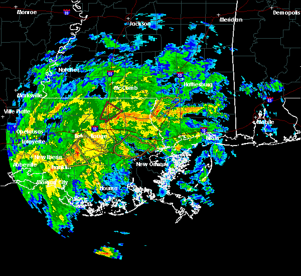 At 129 pm cst, a severe thunderstorm was located near crossroads, or 9 miles east of bogalusa, moving northeast at 30 mph (radar indicated). Hazards include 60 mph wind gusts. Expect damage to roofs. Siding and trees. At 129 pm cst, a severe thunderstorm was located near crossroads, or 9 miles east of bogalusa, moving northeast at 30 mph (radar indicated). Hazards include 60 mph wind gusts. Expect damage to roofs. Siding and trees.
|
| 10/31/2015 4:07 PM CDT |
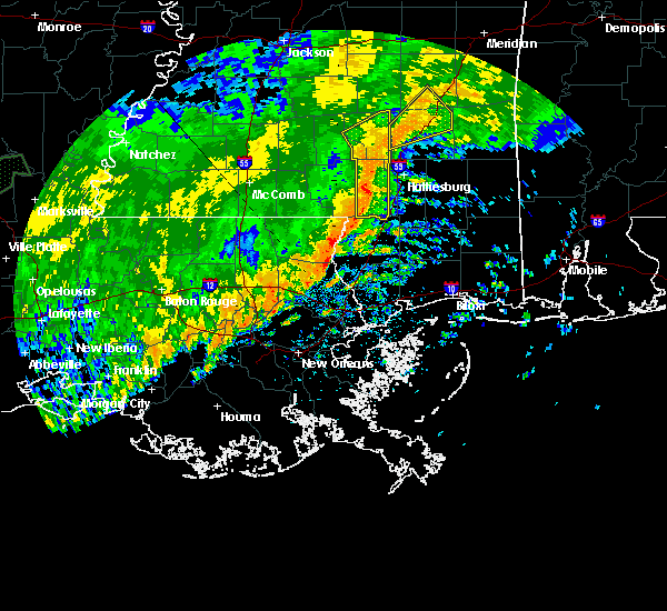 At 407 pm cdt, a severe thunderstorm was located over crossroads, or near bogalusa, moving east at 25 mph (radar indicated). Hazards include 60 mph wind gusts. Expect damage to roofs. Siding and trees. At 407 pm cdt, a severe thunderstorm was located over crossroads, or near bogalusa, moving east at 25 mph (radar indicated). Hazards include 60 mph wind gusts. Expect damage to roofs. Siding and trees.
|
| 8/8/2015 8:31 PM CDT |
 The national weather service in new orleans has issued a * severe thunderstorm warning for. pearl river county in southern mississippi. until 915 pm cdt * at 830 pm cdt. doppler radar indicated a severe thunderstorm capable of producing damaging winds in excess of 60 mph. This storm. The national weather service in new orleans has issued a * severe thunderstorm warning for. pearl river county in southern mississippi. until 915 pm cdt * at 830 pm cdt. doppler radar indicated a severe thunderstorm capable of producing damaging winds in excess of 60 mph. This storm.
|
| 7/4/2015 2:21 PM CDT |
 At 220 pm cdt, doppler radar indicated a severe thunderstorm capable of producing damaging winds in excess of 60 mph. this storm was located near poplarville, and moving east at 30 mph. At 220 pm cdt, doppler radar indicated a severe thunderstorm capable of producing damaging winds in excess of 60 mph. this storm was located near poplarville, and moving east at 30 mph.
|
| 5/21/2015 3:36 PM CDT | At 336 pm cdt, doppler radar indicated a severe thunderstorm capable of producing quarter size hail and damaging winds in excess of 60 mph. this storm was located near bogalusa, and moving east at 20 mph. |
| 5/21/2015 3:36 PM CDT | At 336 pm cdt, doppler radar indicated a severe thunderstorm capable of producing quarter size hail and damaging winds in excess of 60 mph. this storm was located near bogalusa, and moving east at 20 mph. |
| 3/31/2013 4:25 PM CDT | Quarter sized hail reported 0.4 miles SSW of Poplarville, MS, quarter sized hail. |
| 12/9/2012 3:50 PM CST | A pool was overturned and the public observed debris in the air and a funnel cloud near the interesection of interstate 12 and highway 53. possible weak tornad in pearl river county MS, 1.7 miles NNE of Poplarville, MS |
| 1/1/0001 12:00 AM | Quarter sized hail reported 11.4 miles N of Poplarville, MS, quarter sized hail at the 16 mile marker on i-59. |
| 1/1/0001 12:00 AM | Quarter sized hail reported 7.3 miles S of Poplarville, MS |
Hail Maps for Poplarville, MS
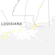


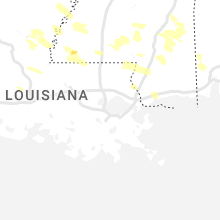
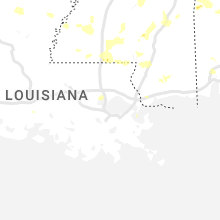

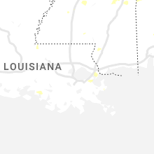
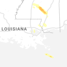
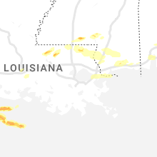


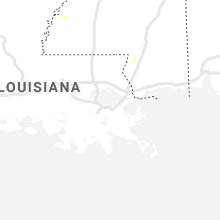
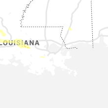
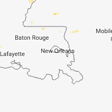
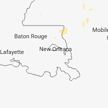

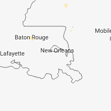
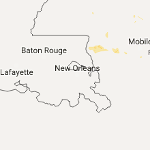


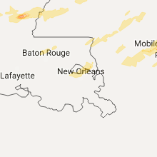

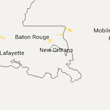

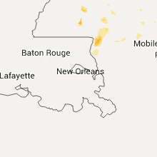
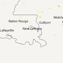
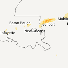


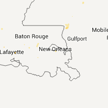


Connect with Interactive Hail Maps